General Land Office Survey Notes, 1855 - 1934
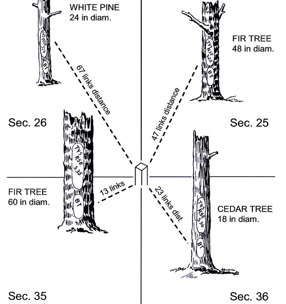
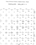
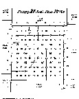
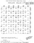
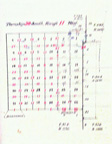
Typical GLO Section Corner Bearing Tree Diagram (Powell 2008: 2).
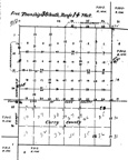
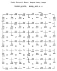
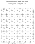
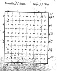
Original Public Land Survey ("P.L.S.") field notes have been compiled for the Coquelle Trails Project and made available for research and education purposes.
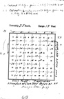
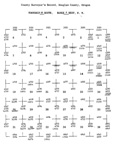
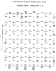
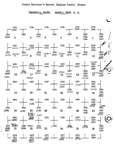
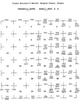
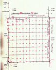
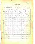
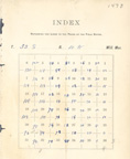
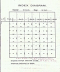
The Coquelle Trails study area is contained within more than 50 partial and complete legal townships, totaling more than 1,400,000-acres. The original land survey data for these townships formed an important part of the information used in the study: including plat maps; index maps; Donation Land Claim maps and notes, and several thousand pages of original and transcribed survey notes. GLO plats and notes were created between 1854 and 1938 and subsequently transcribed into map indexes and typewritten pages, then transformed into digital files. Survey notes and plats are referenced by surveyor names, dates, and contract numbers.
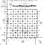
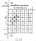
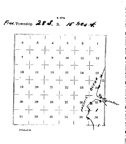
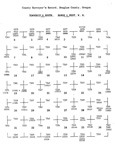
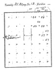
Township 24 S., Range 10 W. |
|
 |
|
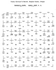
Township 24 S., Range 12 W. |
|
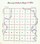
Township 24 S., Range 13 W. |
|
 |
|
 |
|
 |
|
Township 25 S., Range 11 W. |
|
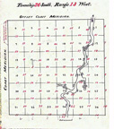
Township25 S., Range 12 W. |
|
 |
|
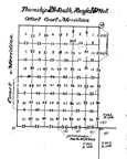
Township 25 S., Range 14 W. |
|
Township 26 S., Range 07 W. |
|
 |
|
 |
|
 |
|
 |
|
Township 26 S., Range 14 W. |
|
 |
|
 |
|
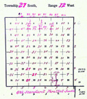
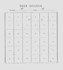
Township 27 S., Range 09 W. |
|
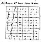
Township 27 S., Range 10 W. |
|
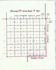
Township 27 S., Range 11 W. |
|
 |
|
 |
|
 |
|
 |
|
 |
|
 |
|
 |
|
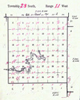
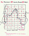
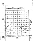
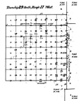
Township 28 S., Range 12 W. |
|
 |
|
 |
|
 |
|
 |
|
 |
|
 |
|
 |
|
 |
|
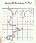
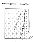
Township 29 S., Range 13 W. |
|
 |
|
 |
|
 |
|
 |
|
 |
|
 |
|
Township 30 S., Range 13 W. |
|
 |
|
Township 30 S., Range 15 W. |
|
 |
|
 |
|
Township 31 S., Range 10 W. |
|
 |
|
Township 31 S., Range 12 W. |
|
 |
|
 |
|
 |
|
Township 31 S., Range 16 W. |
|
 |
|
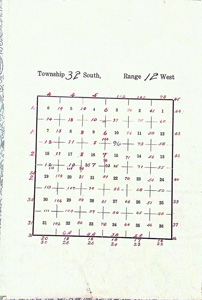
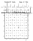
Township 32 S., Range 11 W. |
|
 |
|
Township 32 S., Range 13 W. |
|
Township 32 S., Range 14 W. |
|
Township 32 S., Range 16 W. |
|
 |
|
 |
|
Township 33 S., Range 13 W. |
|
 |
|
Township 34 S., Range 12 W. |
|
Township 34 S., Range 14 W. |
|
Township 34 S., Range 15 W. |
|
 |
![]()