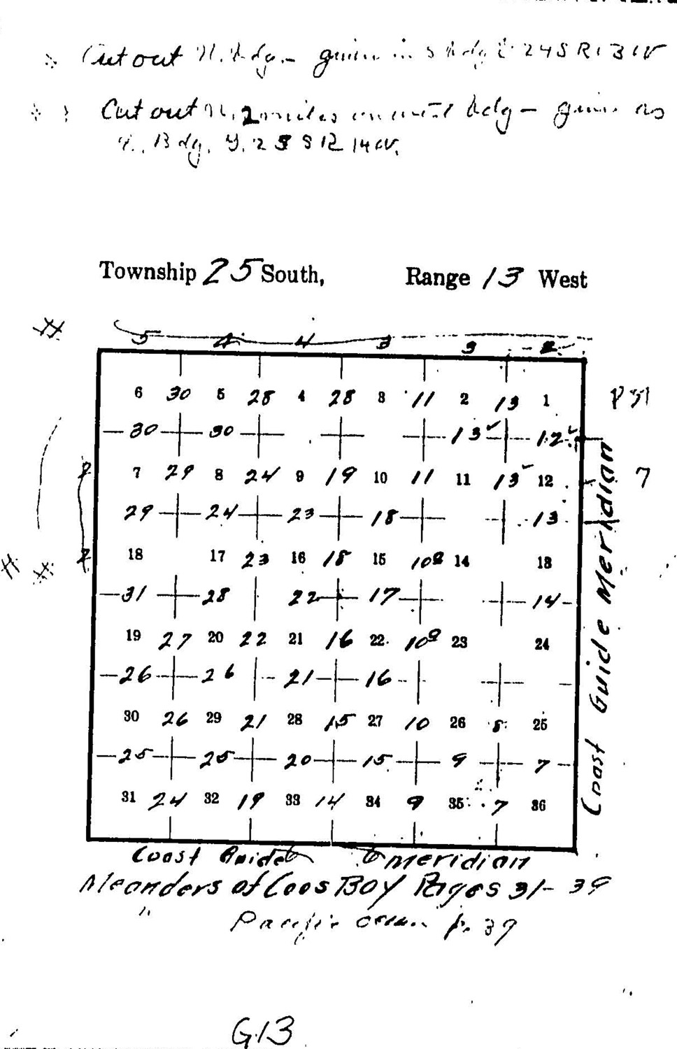
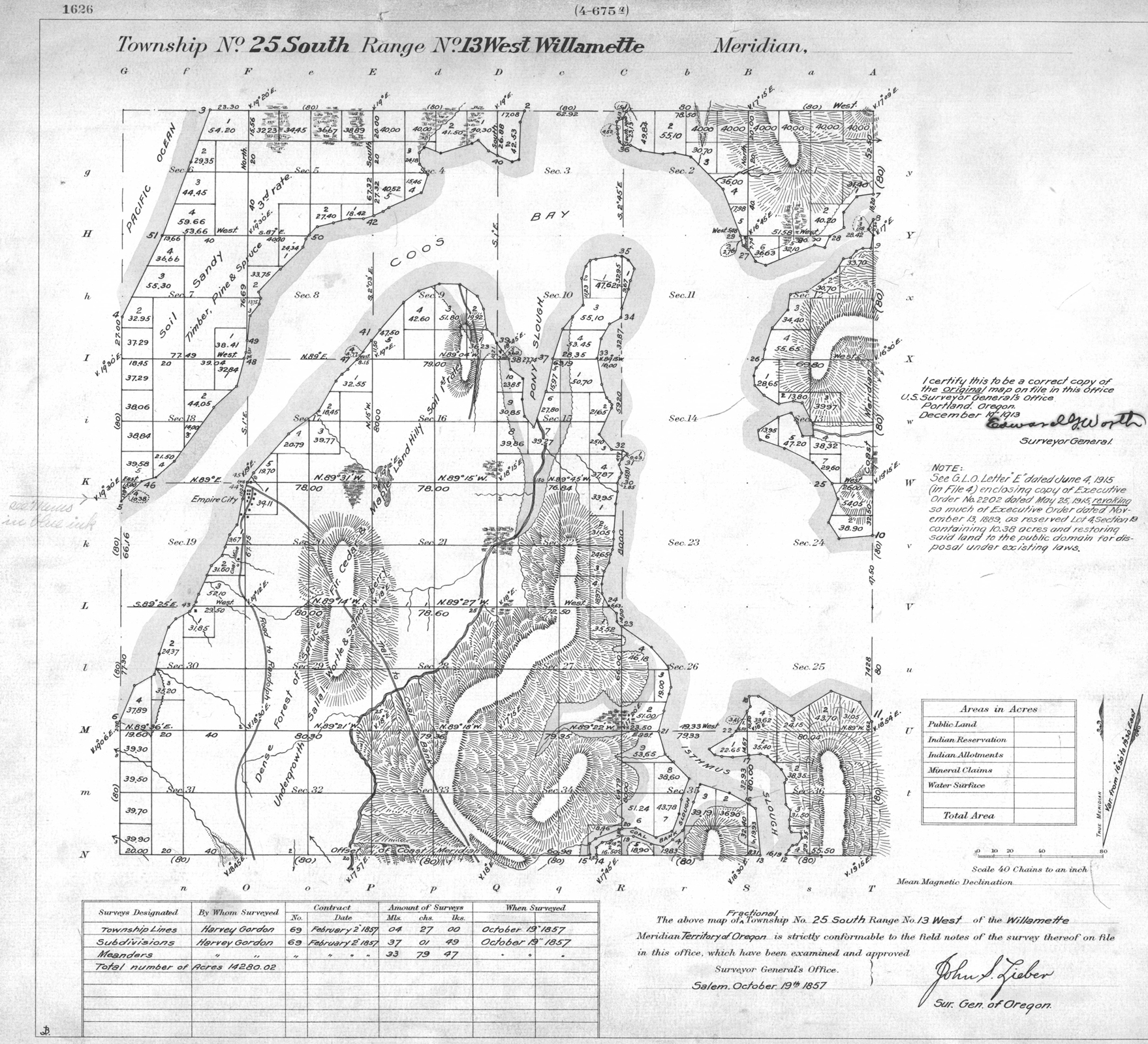
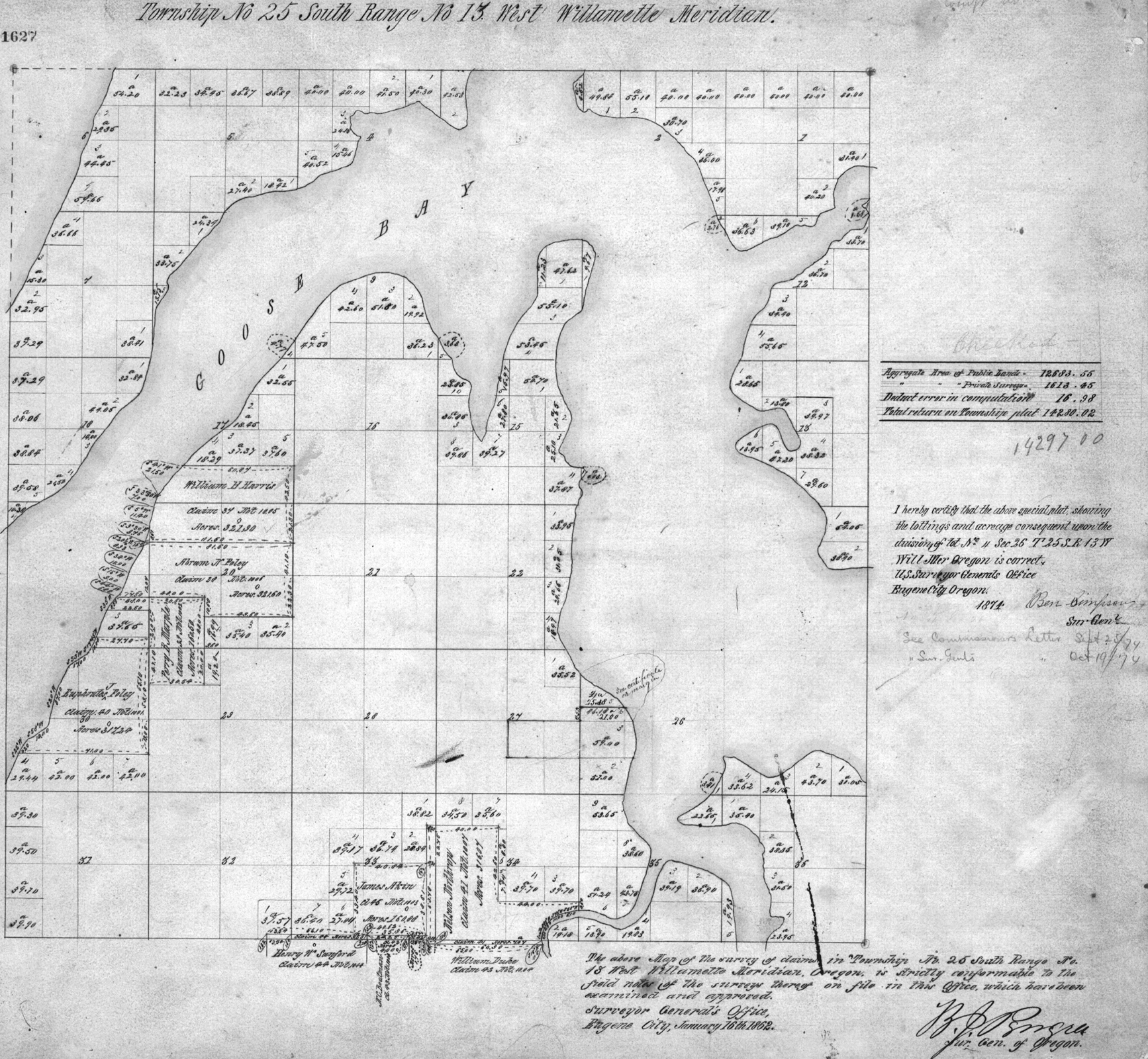
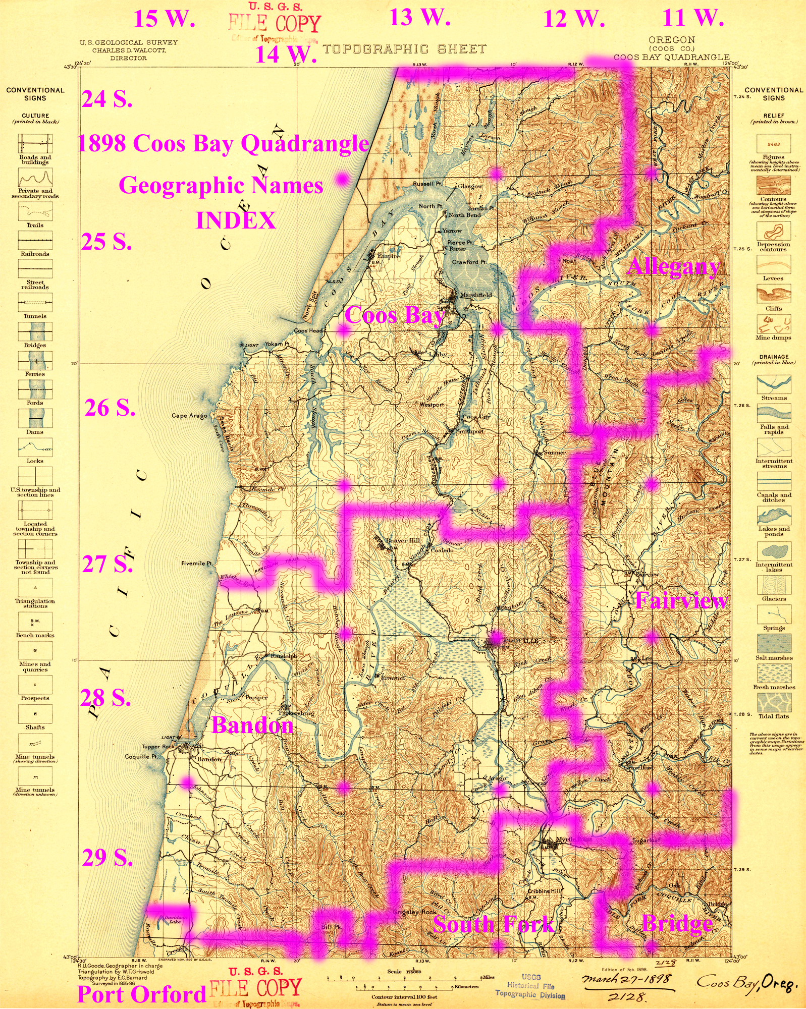
Tsp. 25 S., Rng. 13 W.
General Land Office Survey Index
 |
 |
 |
|
1857 GLO |
1862 DLC |
1955 Annotated Coos Bay USGS |
2012 Coos Bay District |
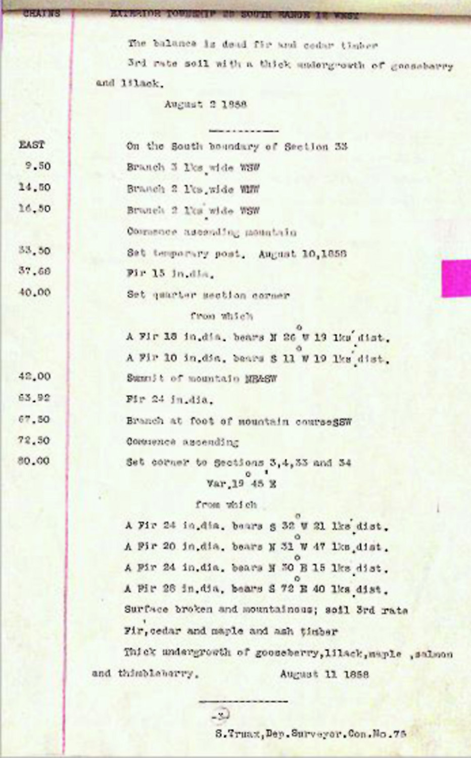
This township is entirely within the boundaries of the 2011-2012 Coquelle Trails Project. It includes Radar Hill, First Creek, and Coos River in the Coos Bay Historical District. This survey was completed in 1857 and mapped in 1857, and 1862. (Gordon 1857; Truax 1857). Donation Land Claims were filed by James Aiken, N. C. Boatman, William Duke, Abraham N. Foley, Euphrates J. Foley, William B. Harris, Perry B. Marple, Nelson Northrup, and Henry Sanford.