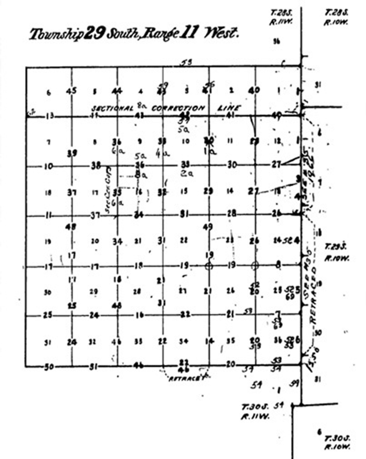
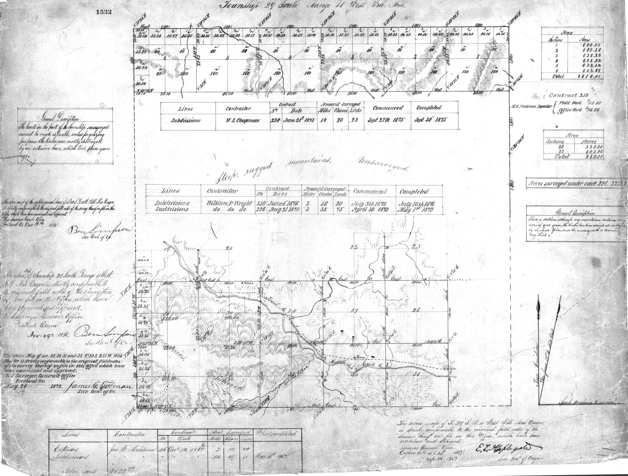
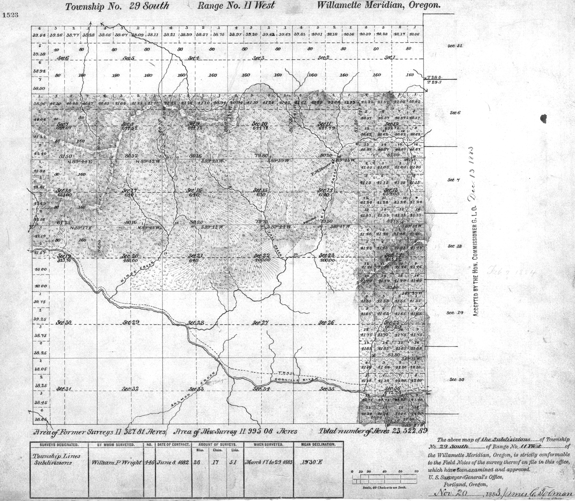
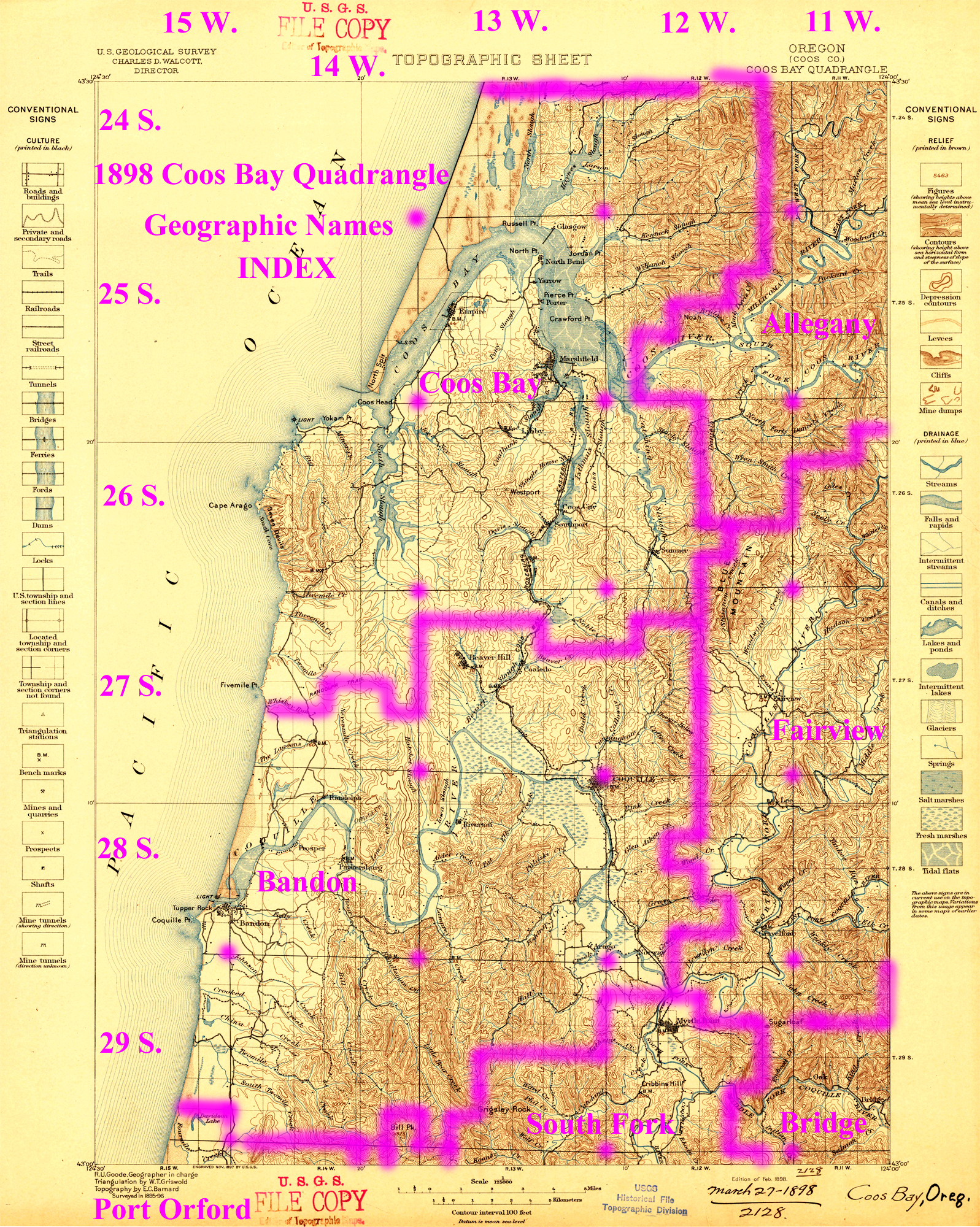
Tsp. 29 S., Rng. 11 W.
General Land Office Survey Index
 |
 |
 |
 |
 |
1867 GLO |
1883 GLO |
1898 Annotated USGS Coos Bay |
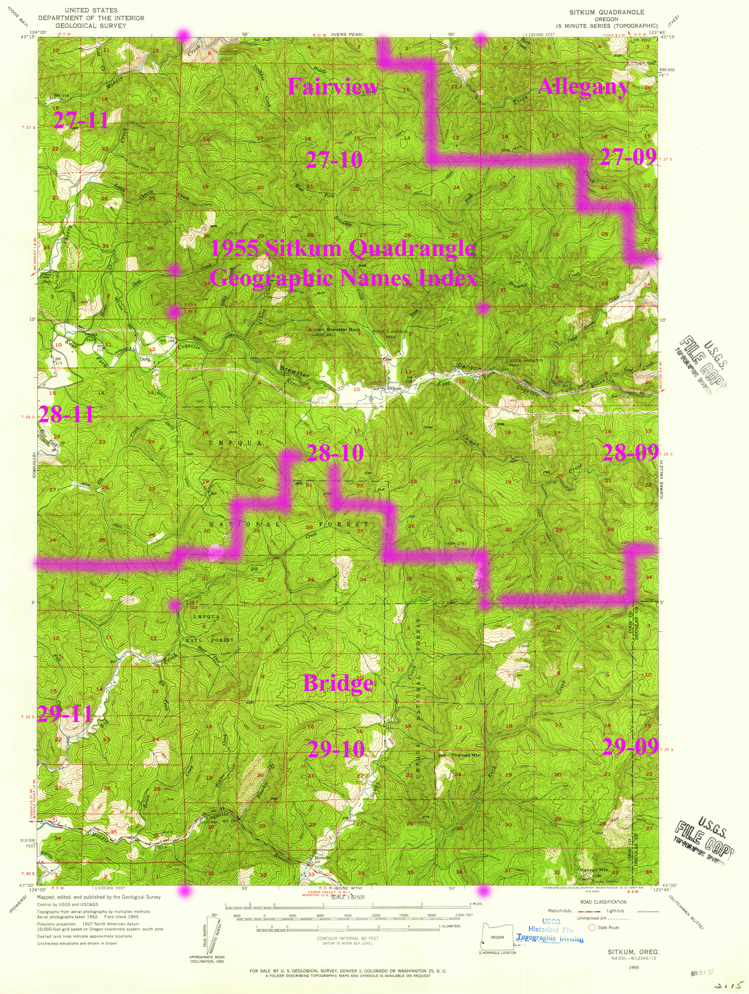
1955 Annotated USGS Sitkum |
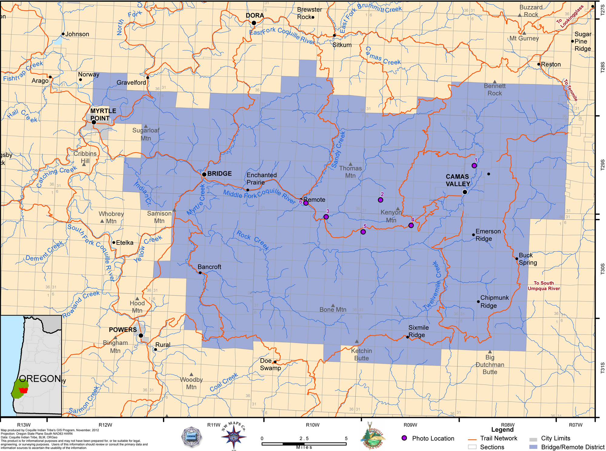
2012 Bridge-Remote District |
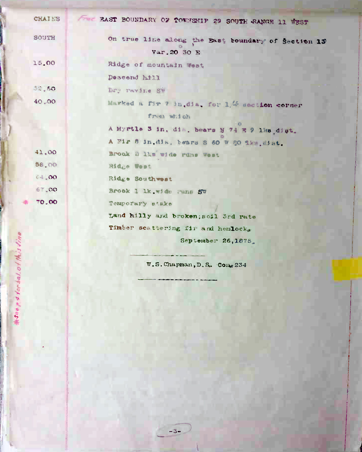
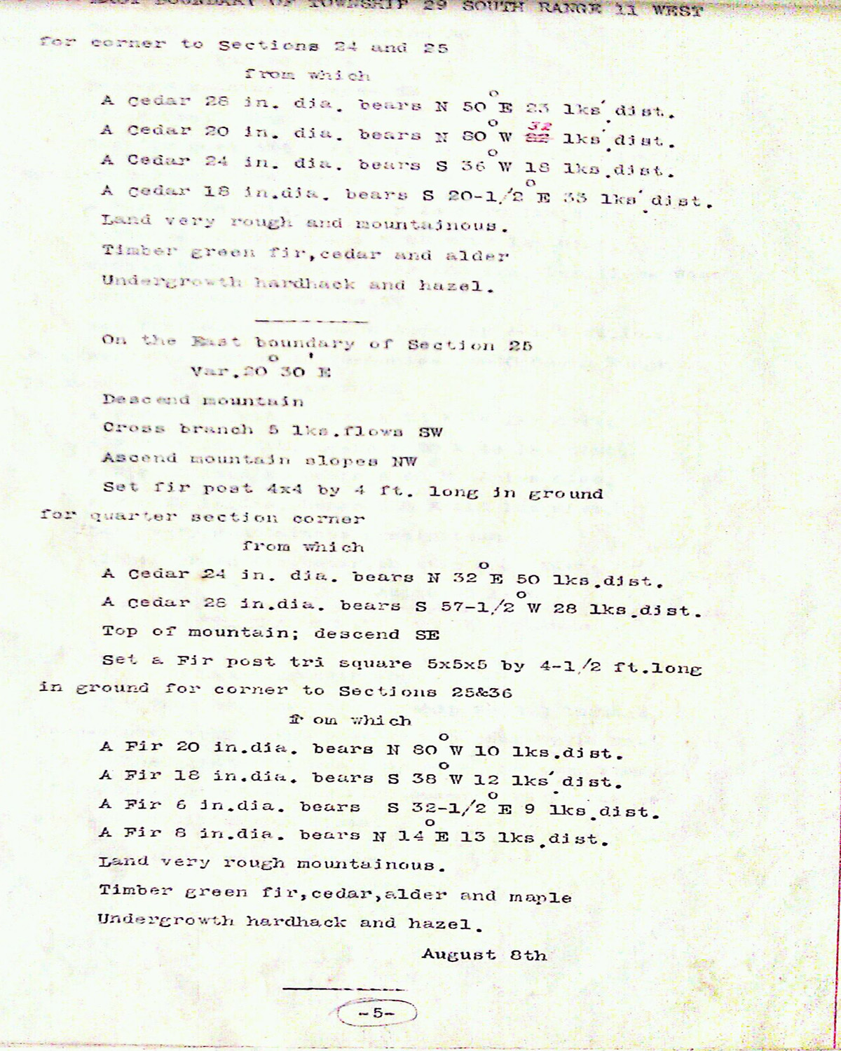
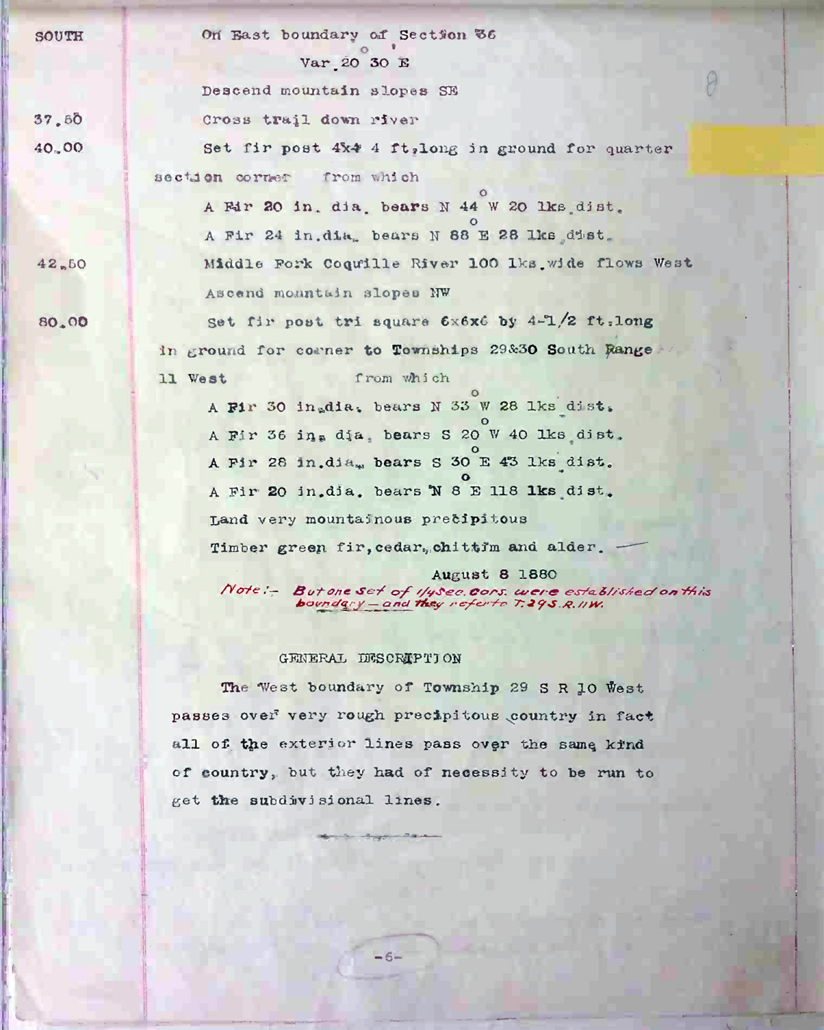
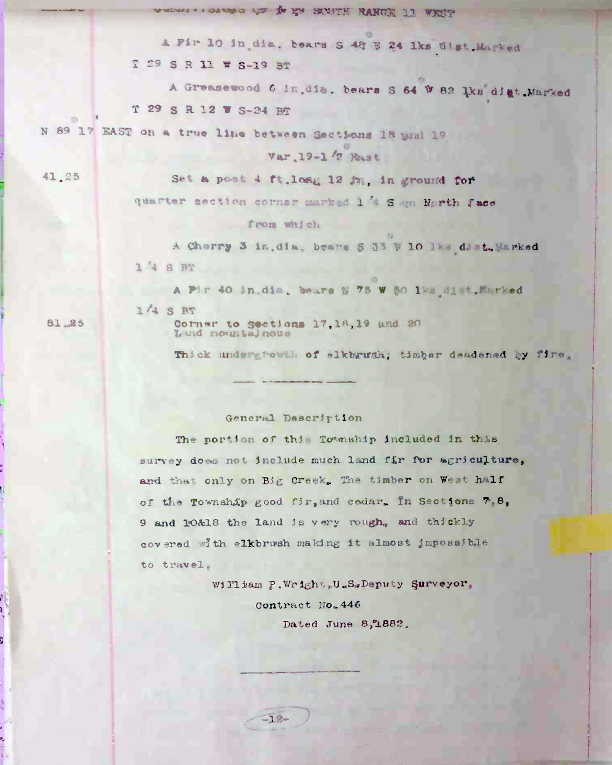
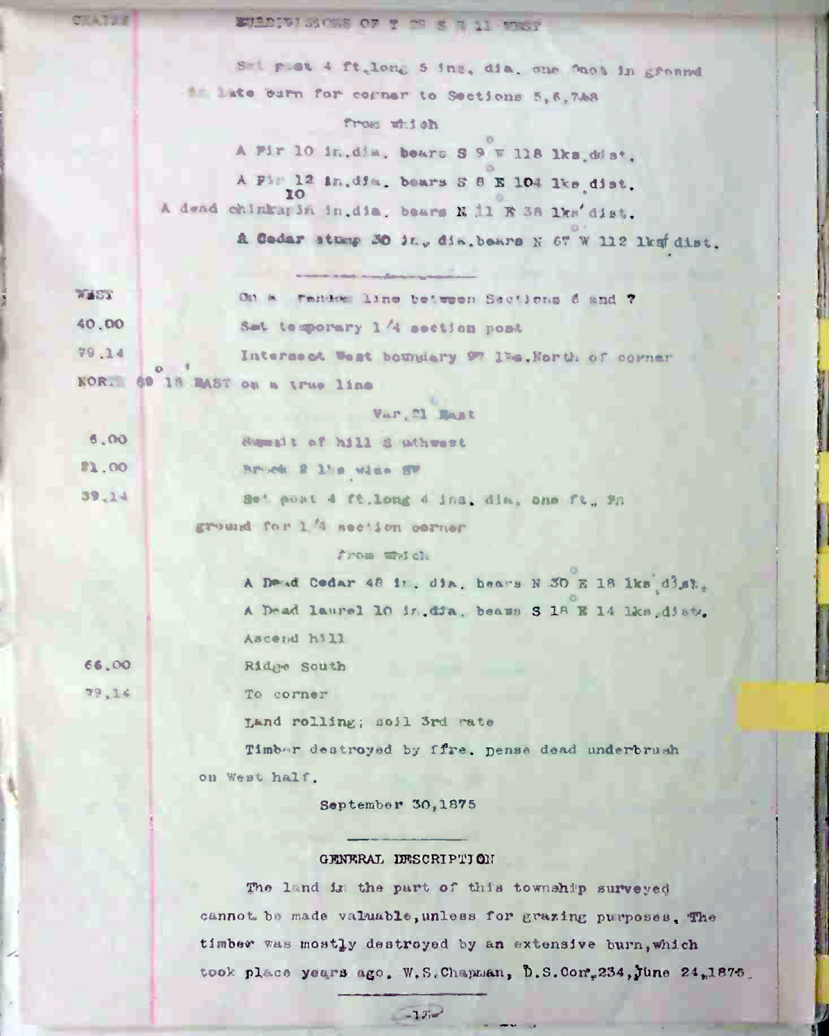
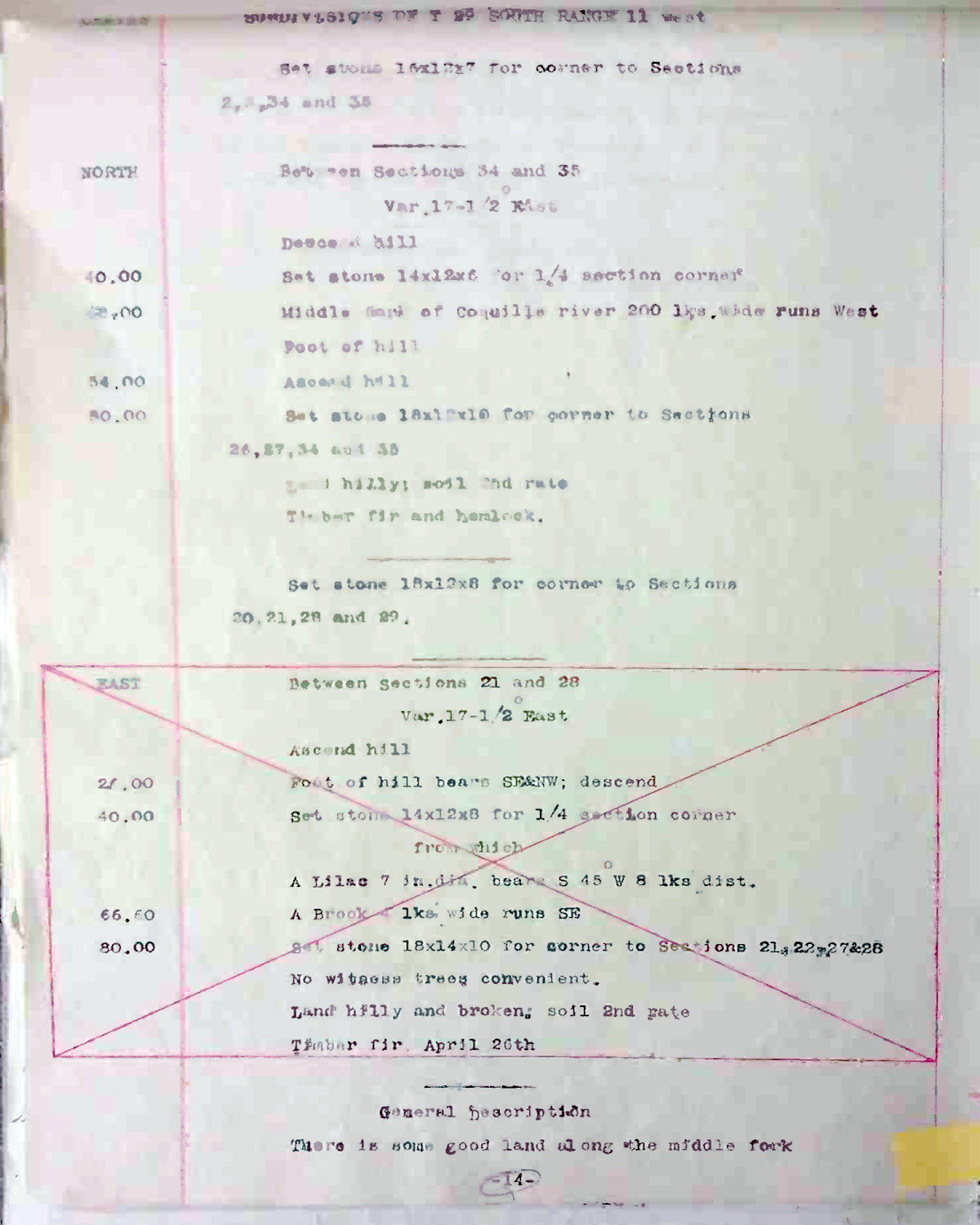
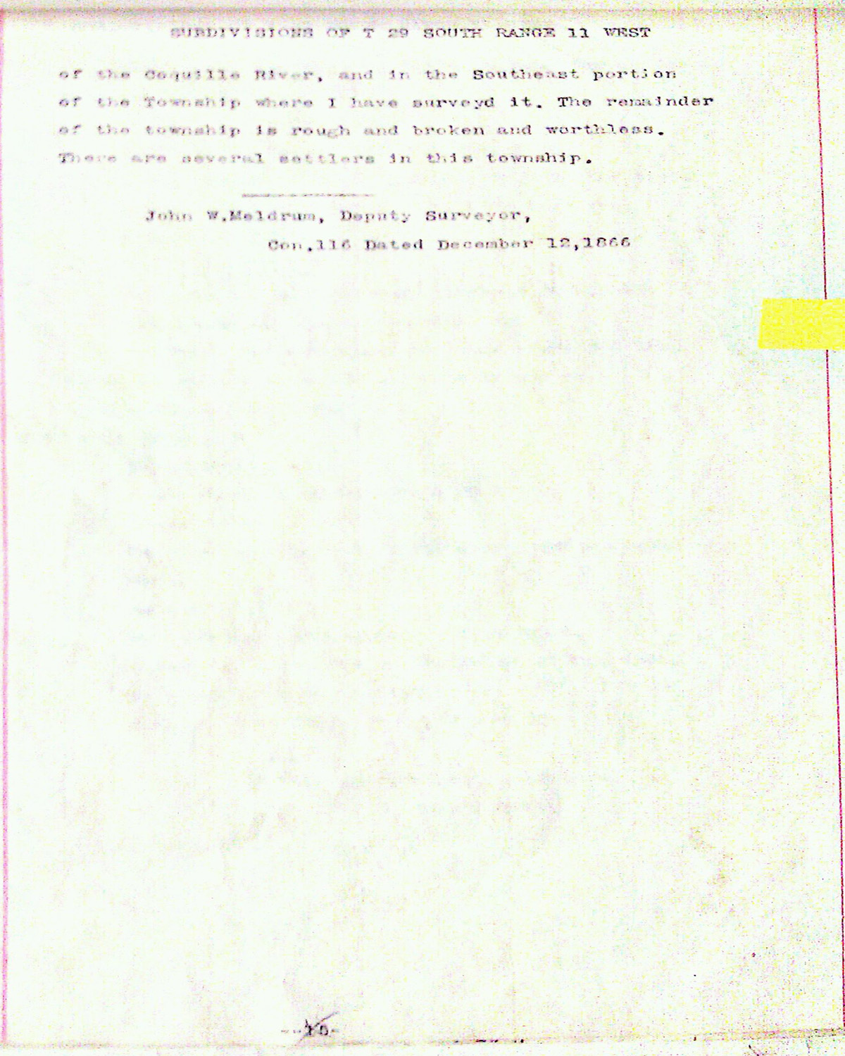
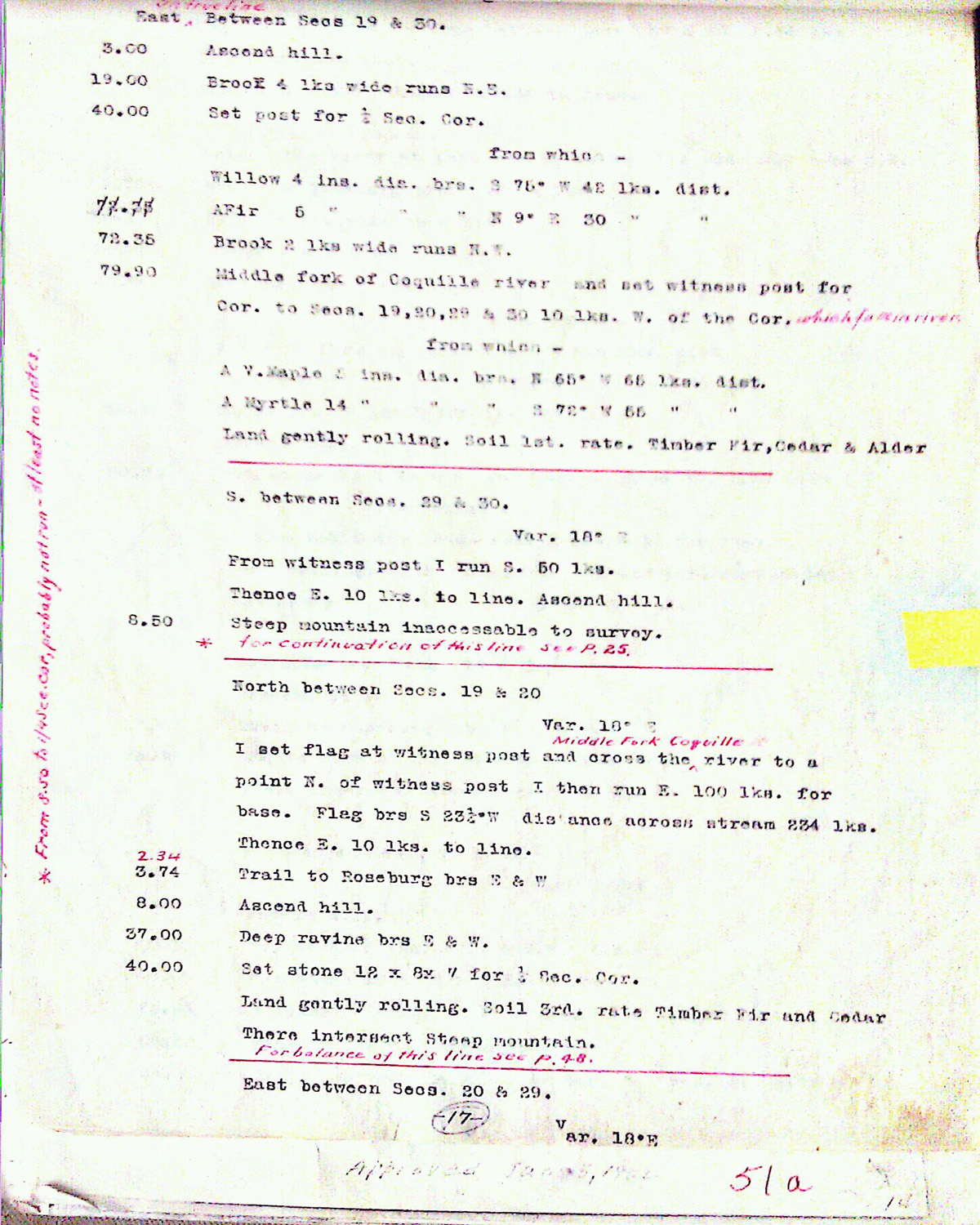
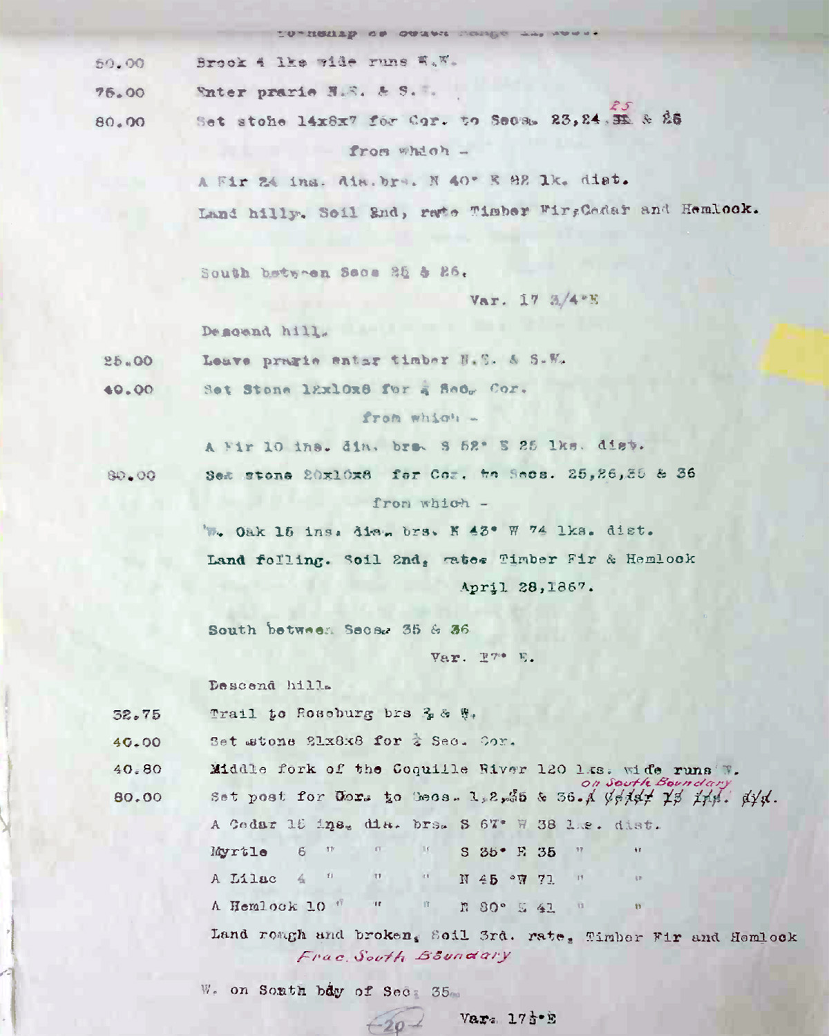
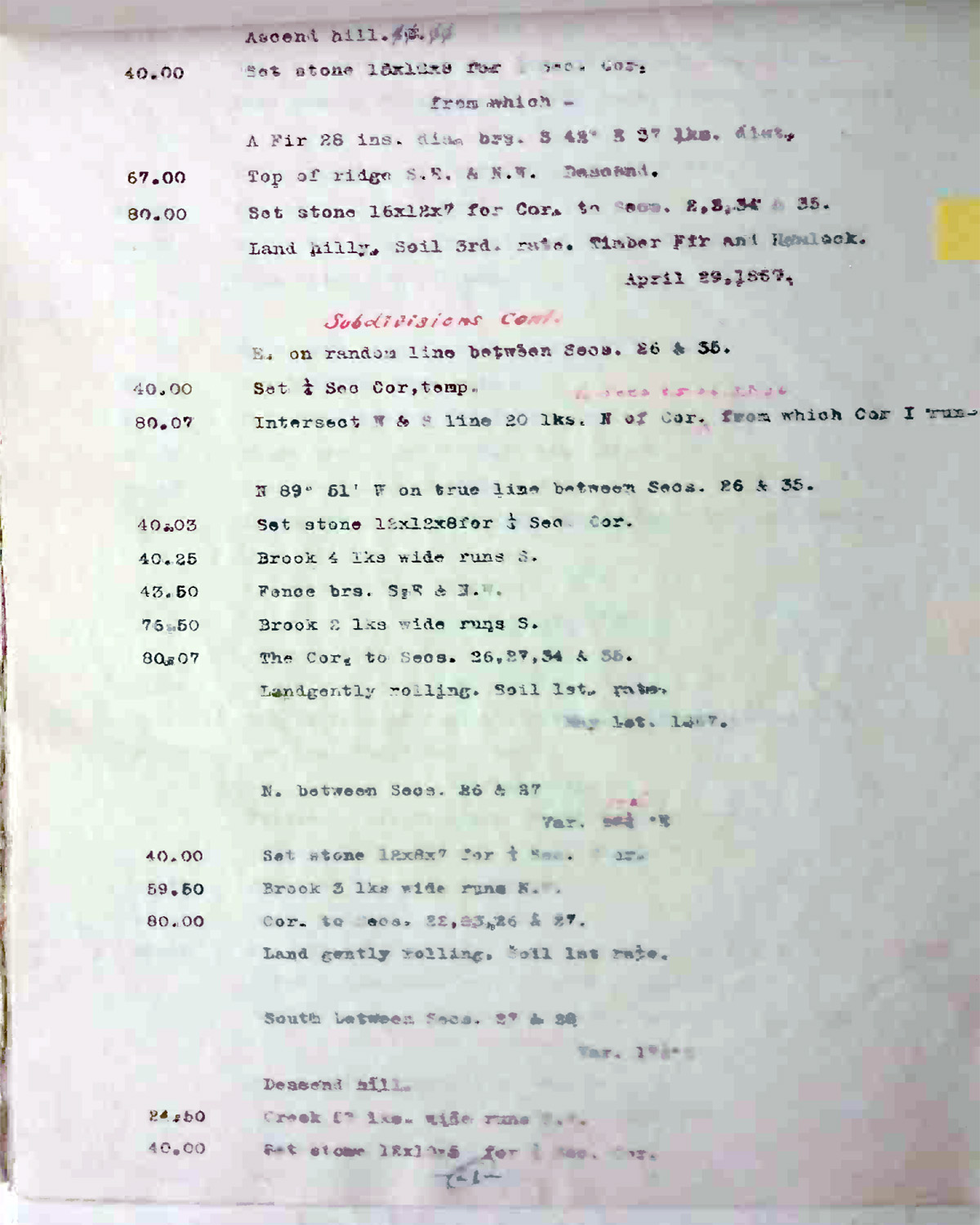
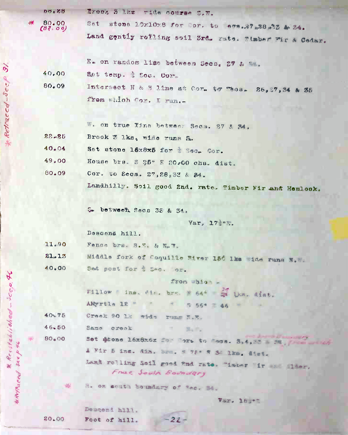
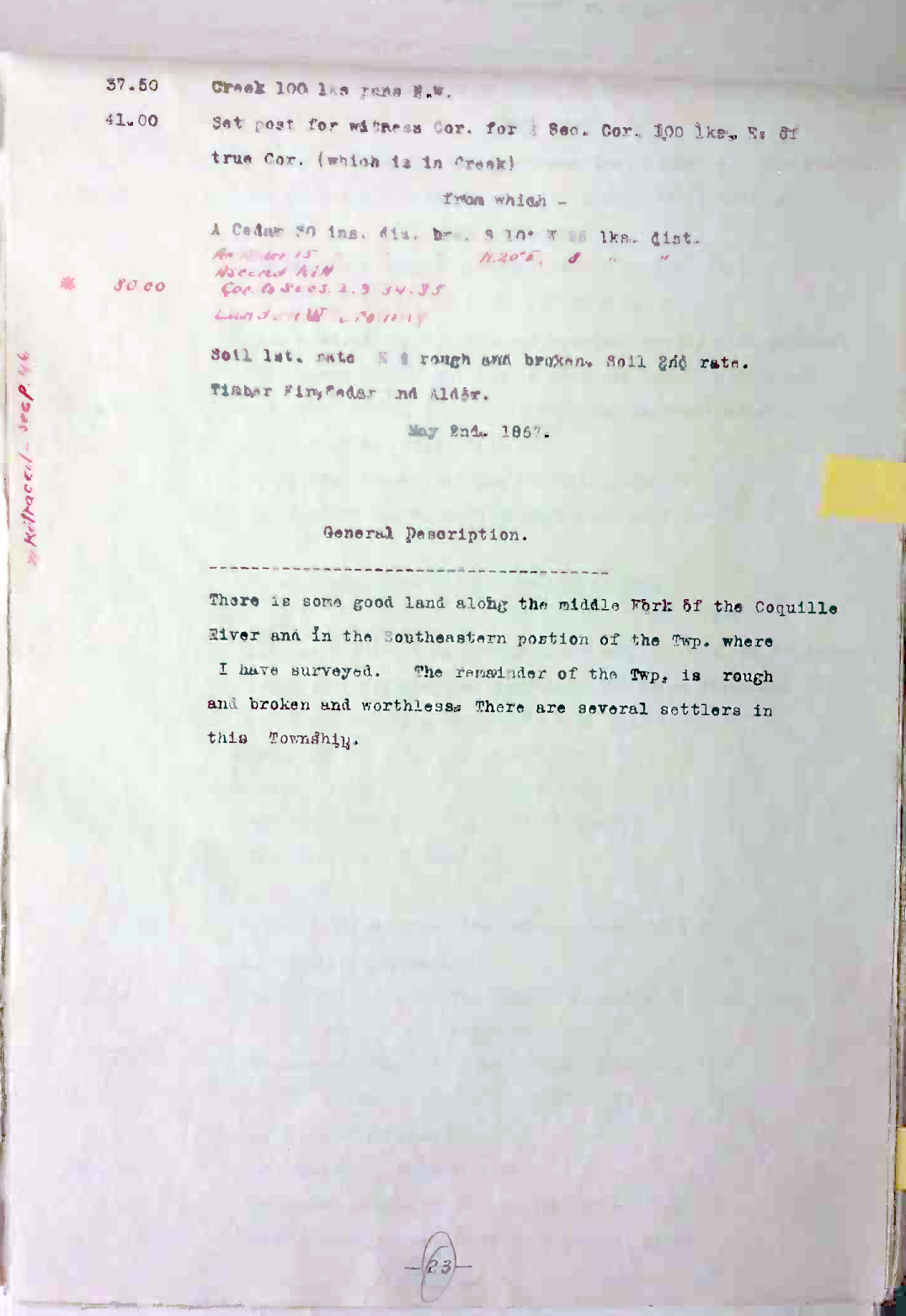
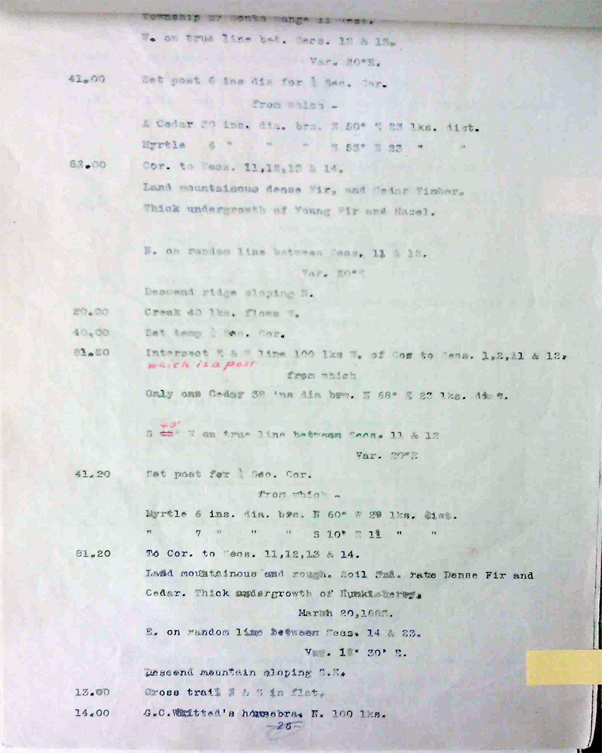
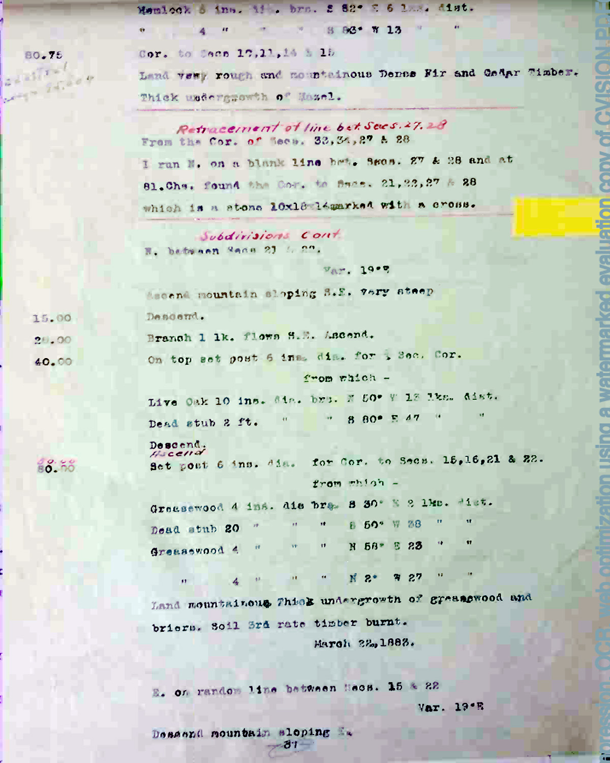
This township is entirely within the boundaries of the 2011-2012 Coquelle Trails Project. It includes Anderson Mountain, King Creek, and Coquille River in the Bridge-Remote Historical District. This survey was completed in 1867 and 1883, and mapped in 1867 and 1883 (Chapman 1875; Meldrum 1866; Wright 1882).
![]()