
Upper South Umpqua Headwaters Precontact Reference Study
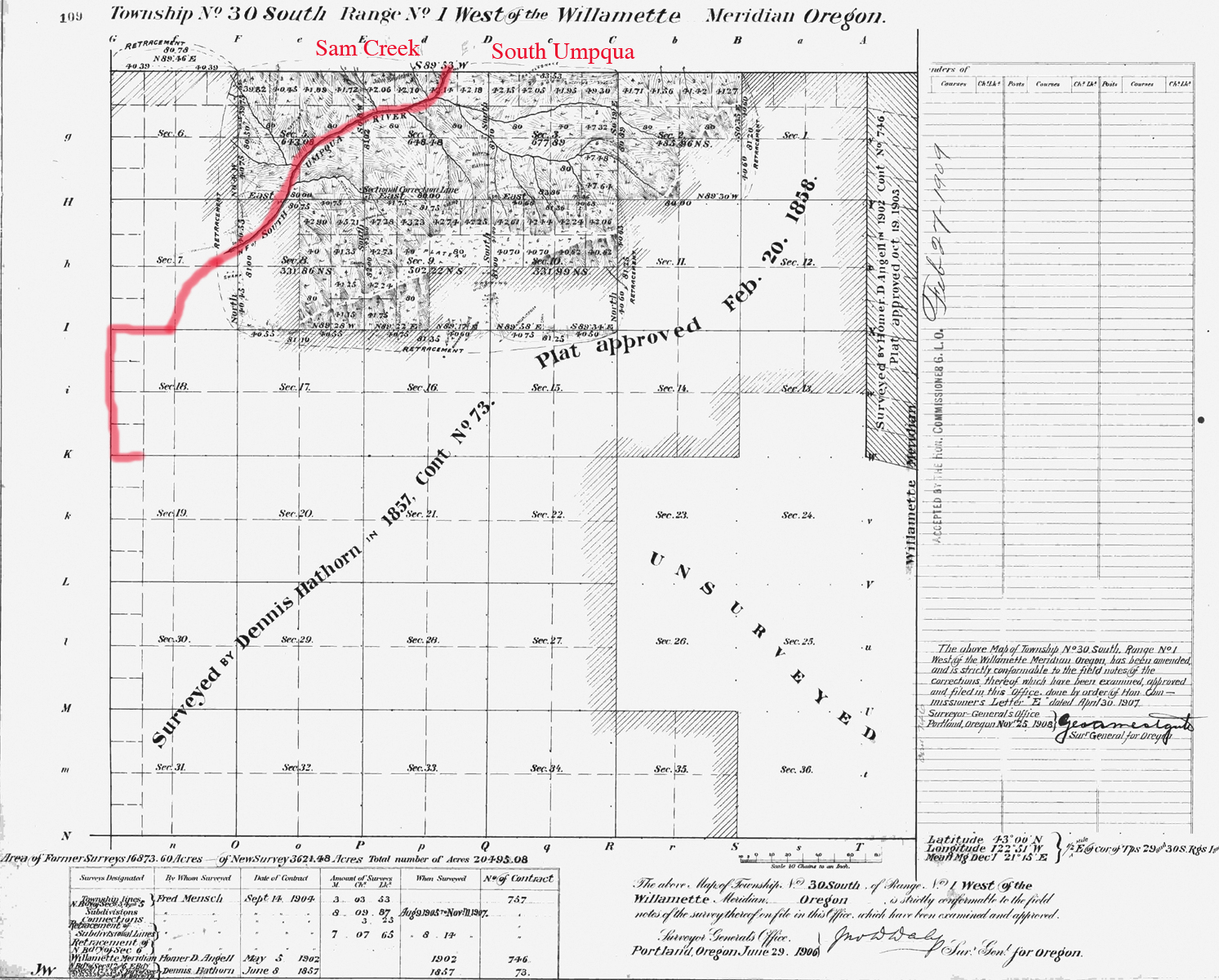
Tsp. 30 S., Rng. 1 W.
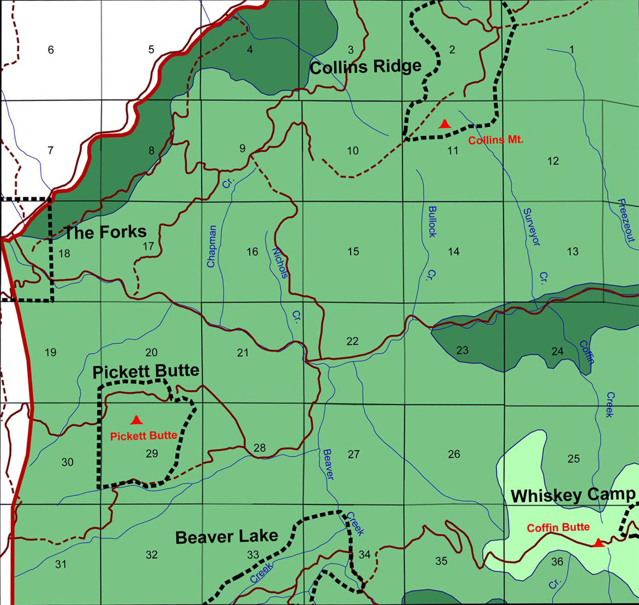
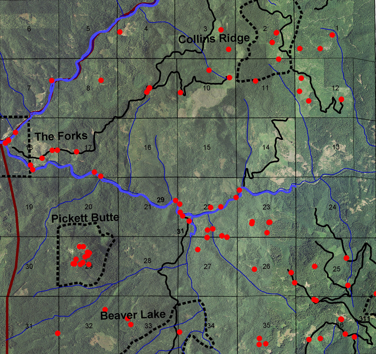
This township is located in the Upper South Umpqua Headwaters Precontact Reference Study and contains major portions of two of the study's subbasins: the western one-quarter of the Jackson Creek subbasin and southern half of the Zinc Creek subbasin.
It contains all or major portions of four of the study's Areas of Special Interest: The Forks; Pickett Butte; Collins Ridge; and Beaver Lake. There are three historical lookout towers in the towship: Pickett Butte Lookout; Collins Lookout; and Coffin Butte Lookout.
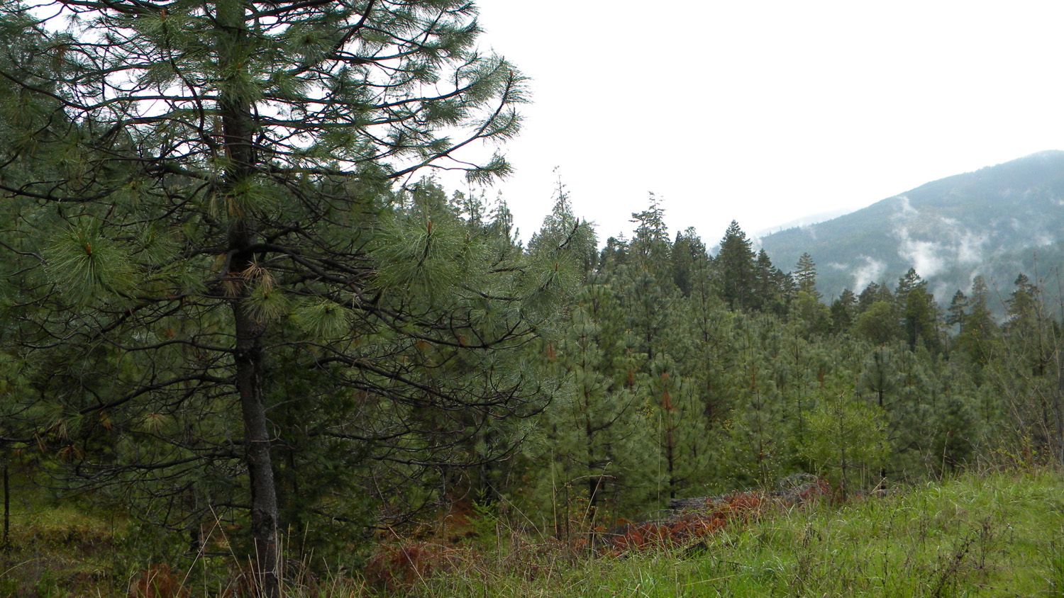
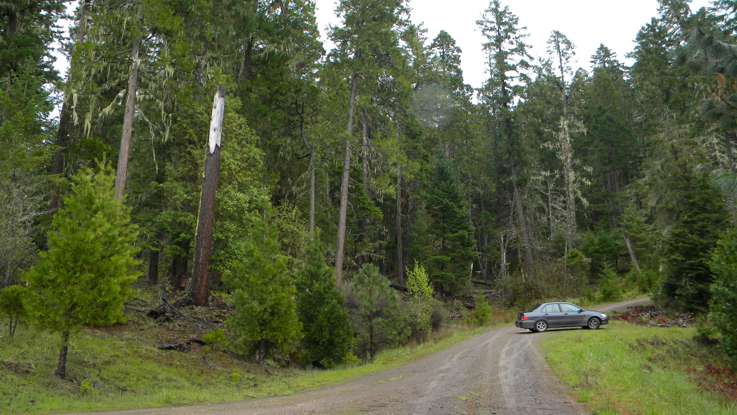
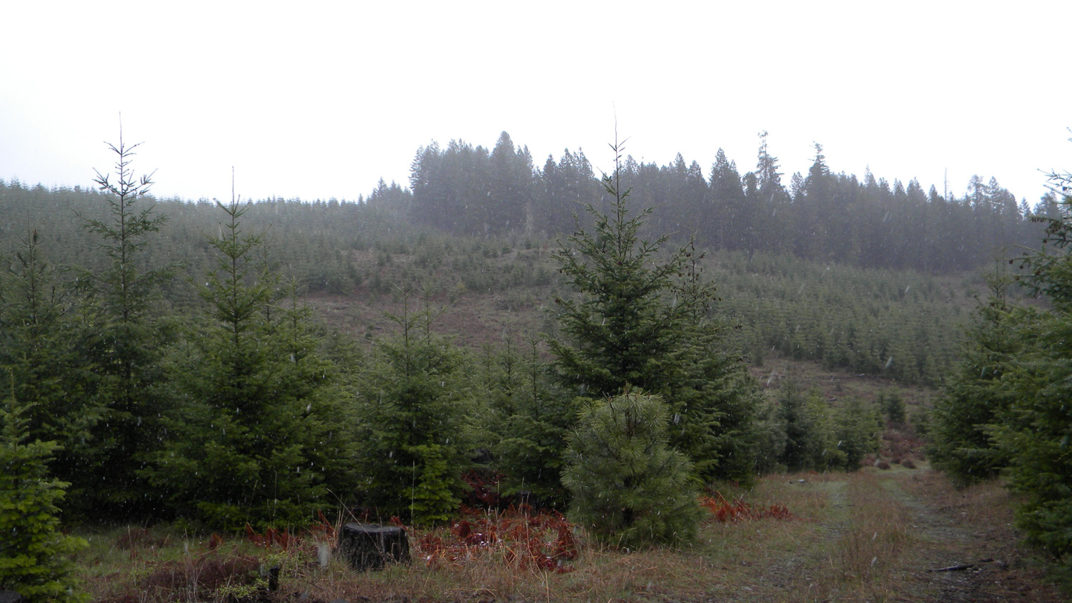
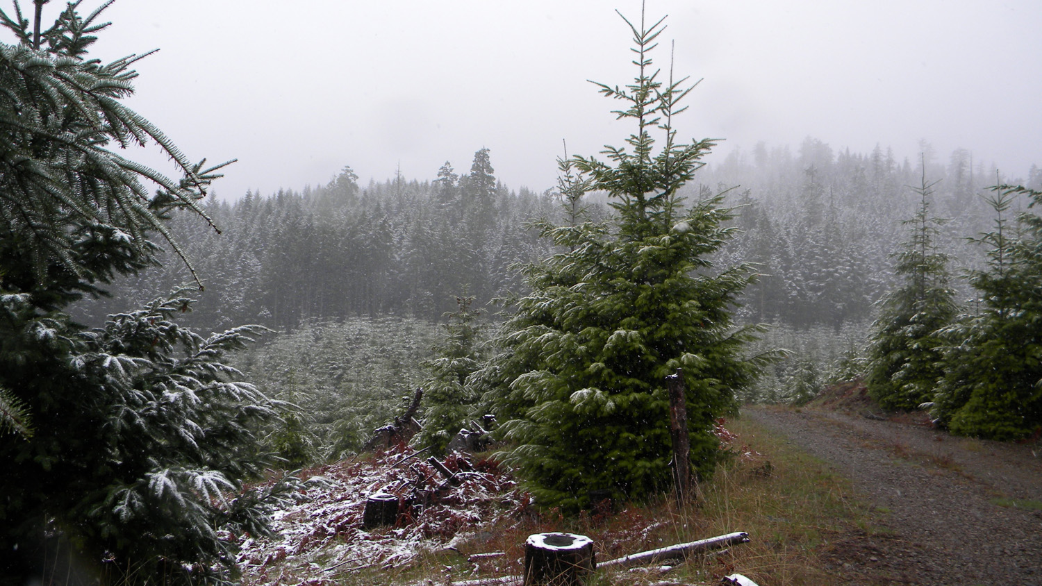
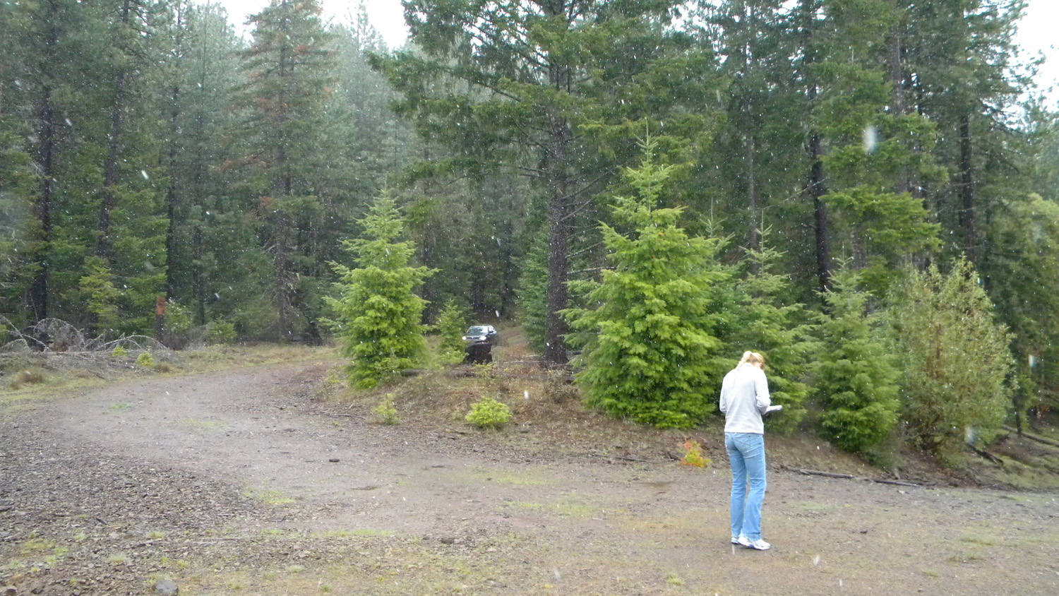
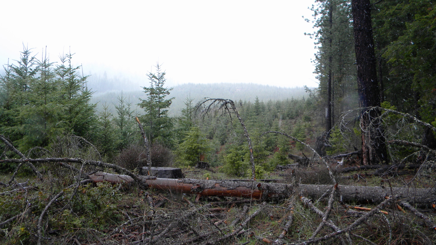
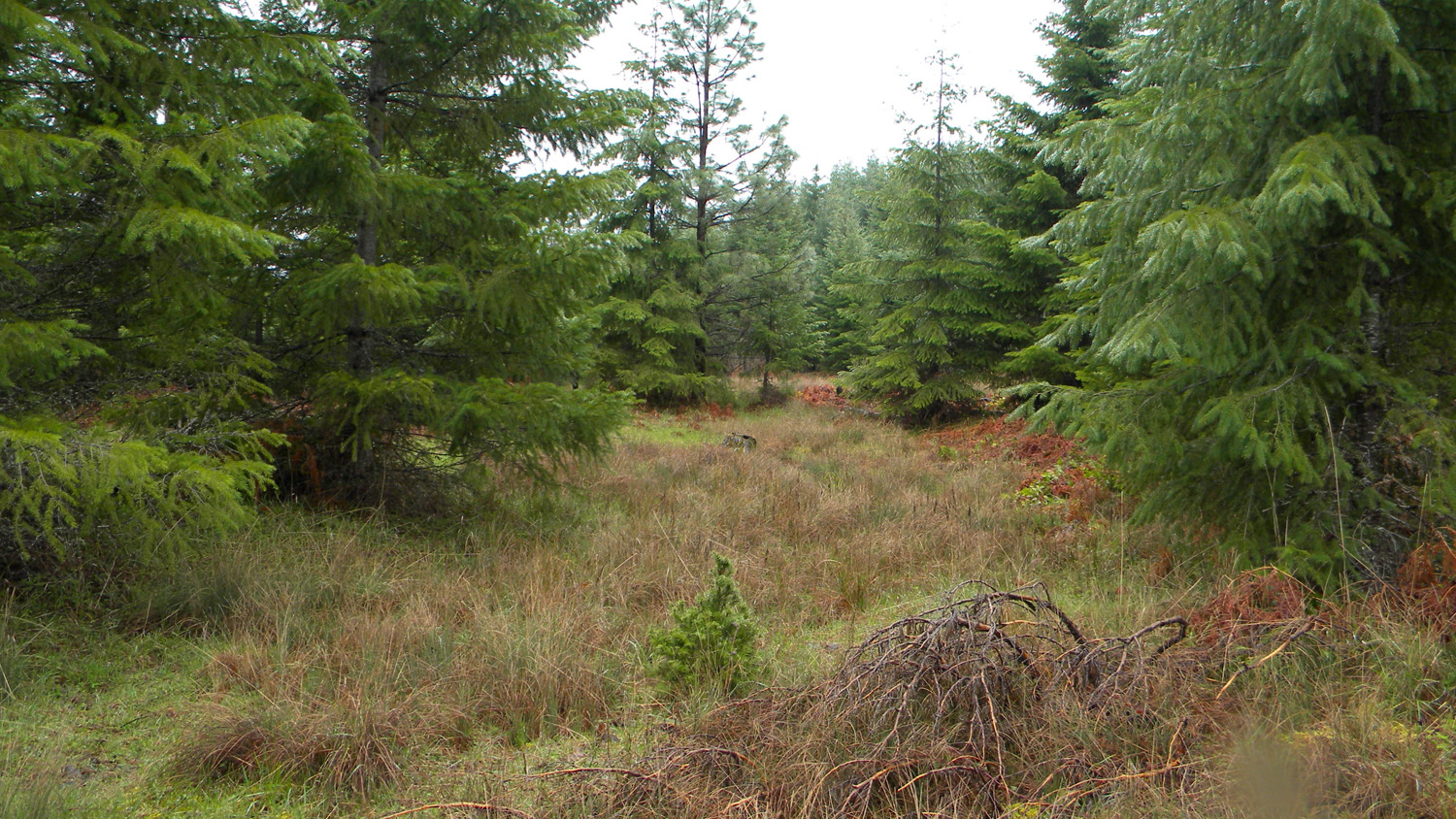
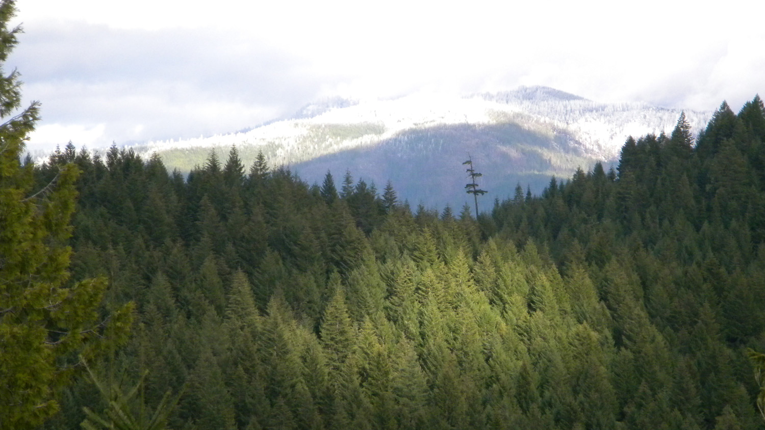
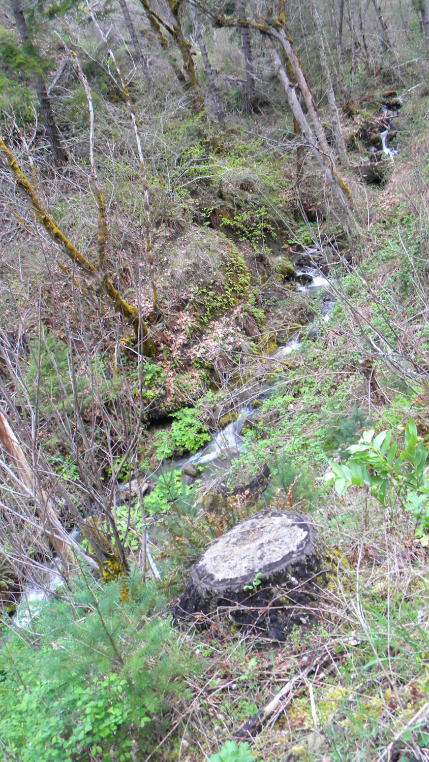
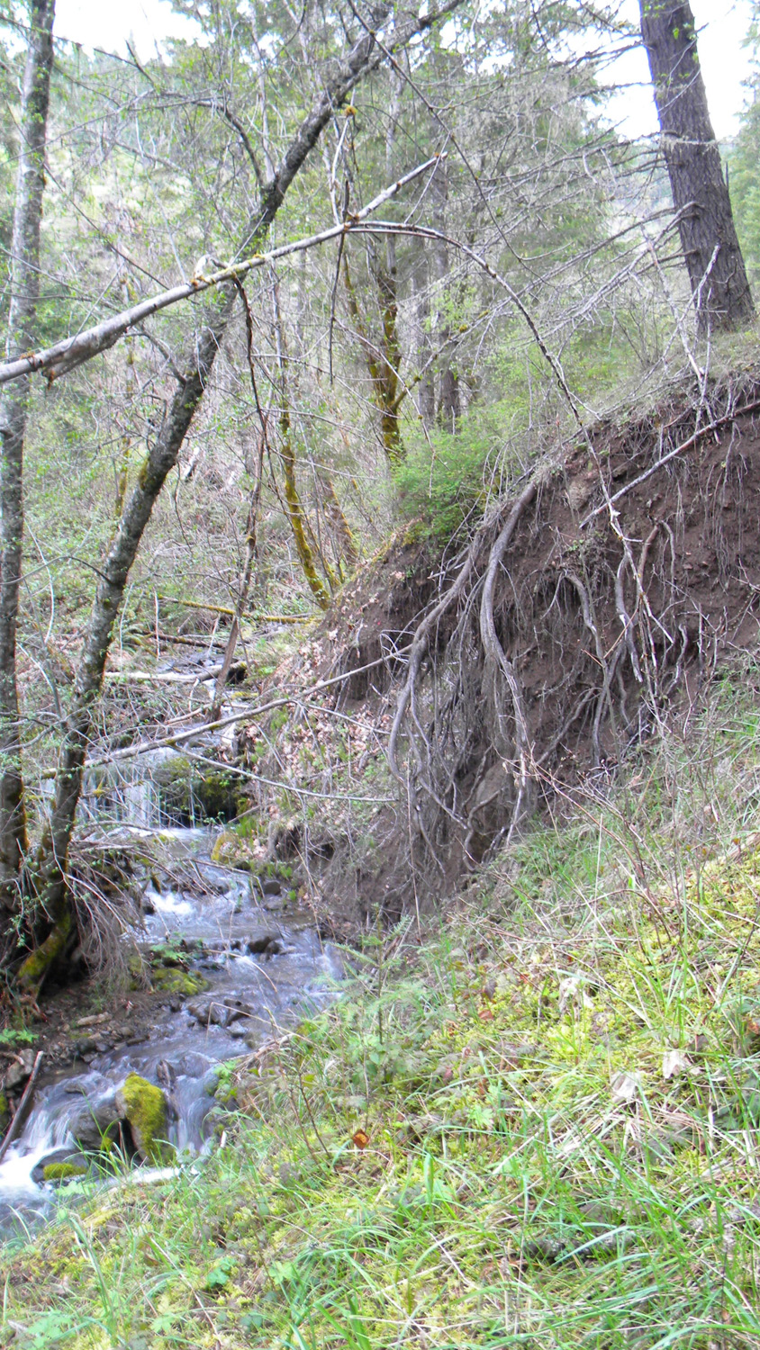
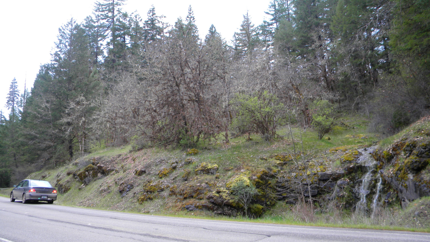
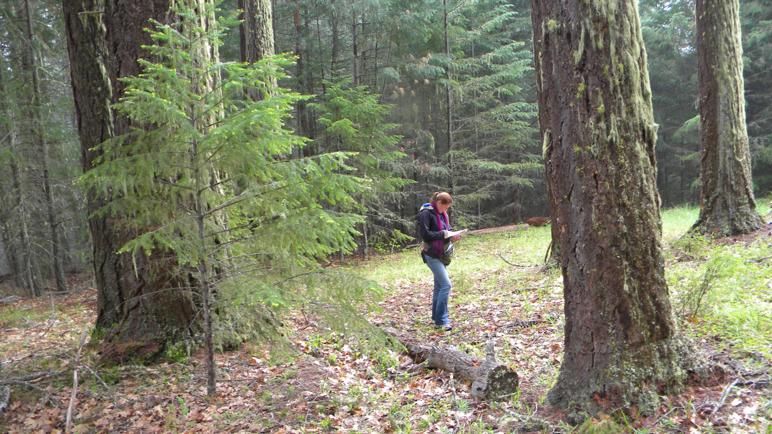
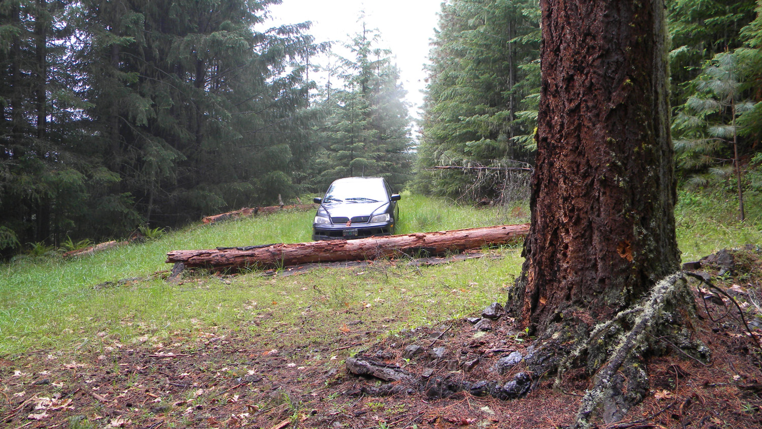
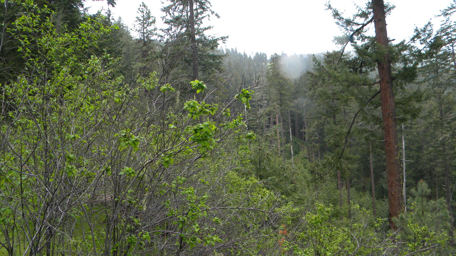
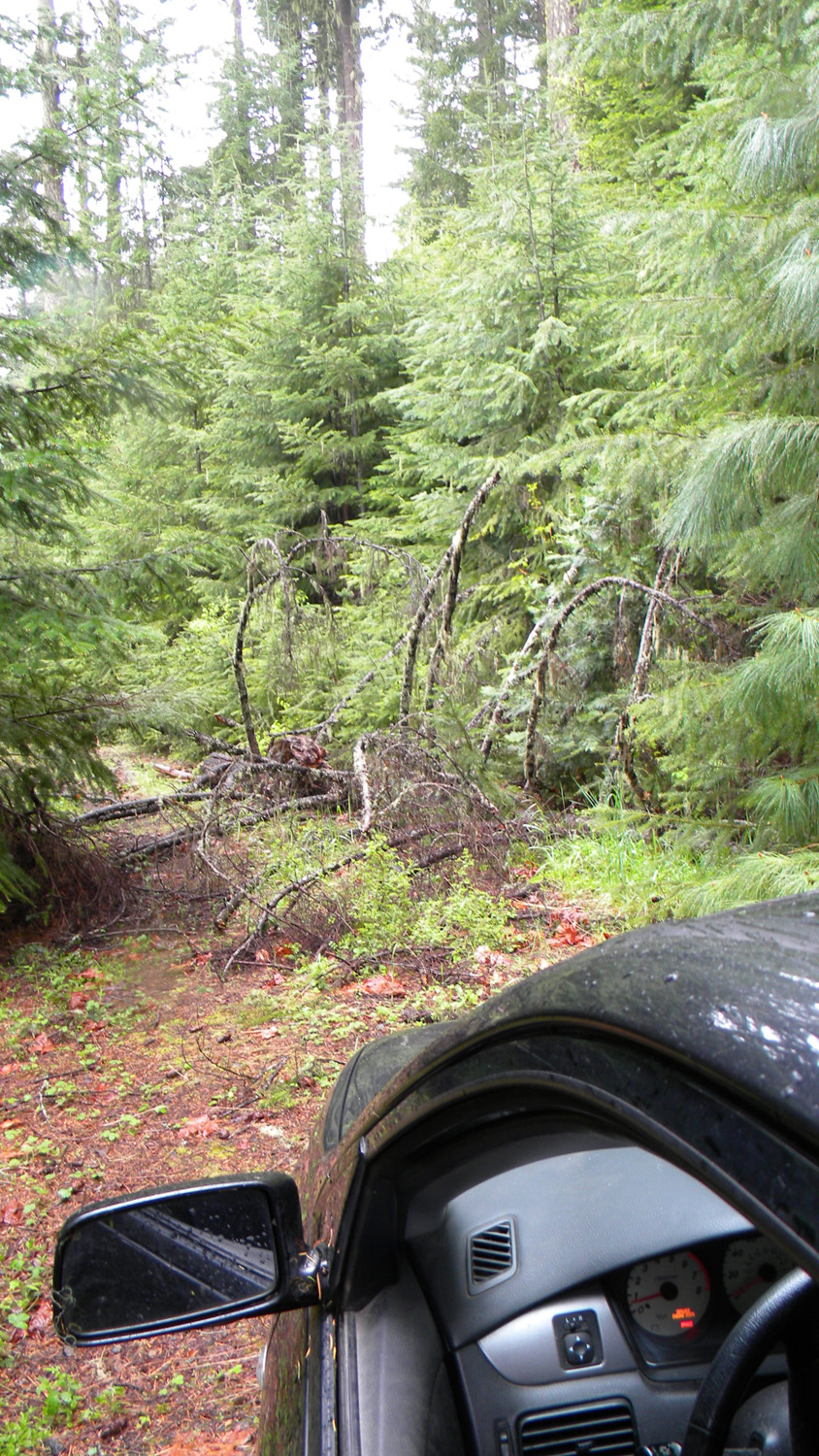
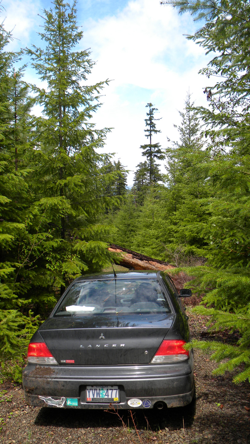
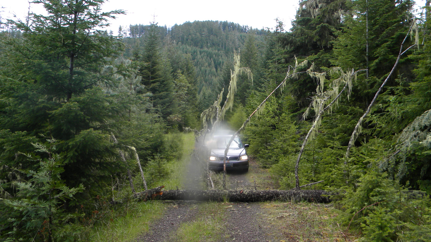
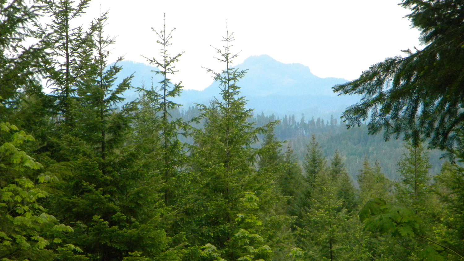
This page includes specific maps and aerial photographs of Tsp. 30 S., Rng. 1 W., panoramas and QTVR video files constructed from the 2010 field research studies, and individual historical and 2010 documentary photographs showing current condtions, native plants and animals, and other points of interest related to this study area.
Panoramas and QTVRs
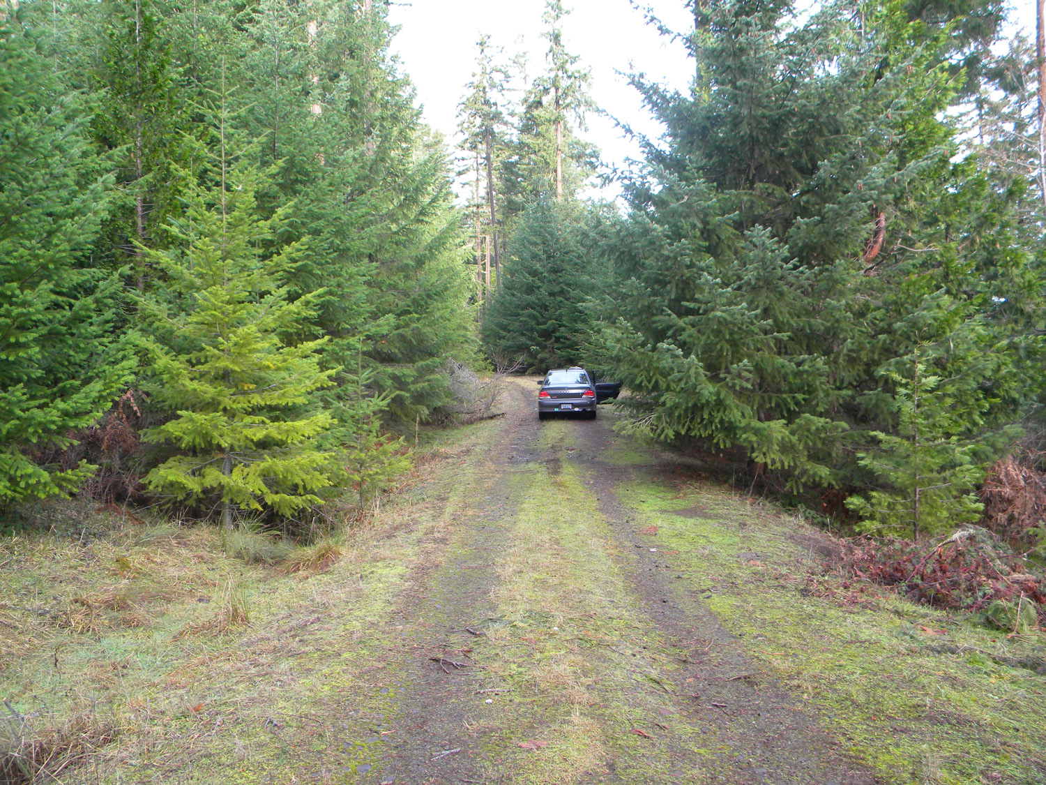
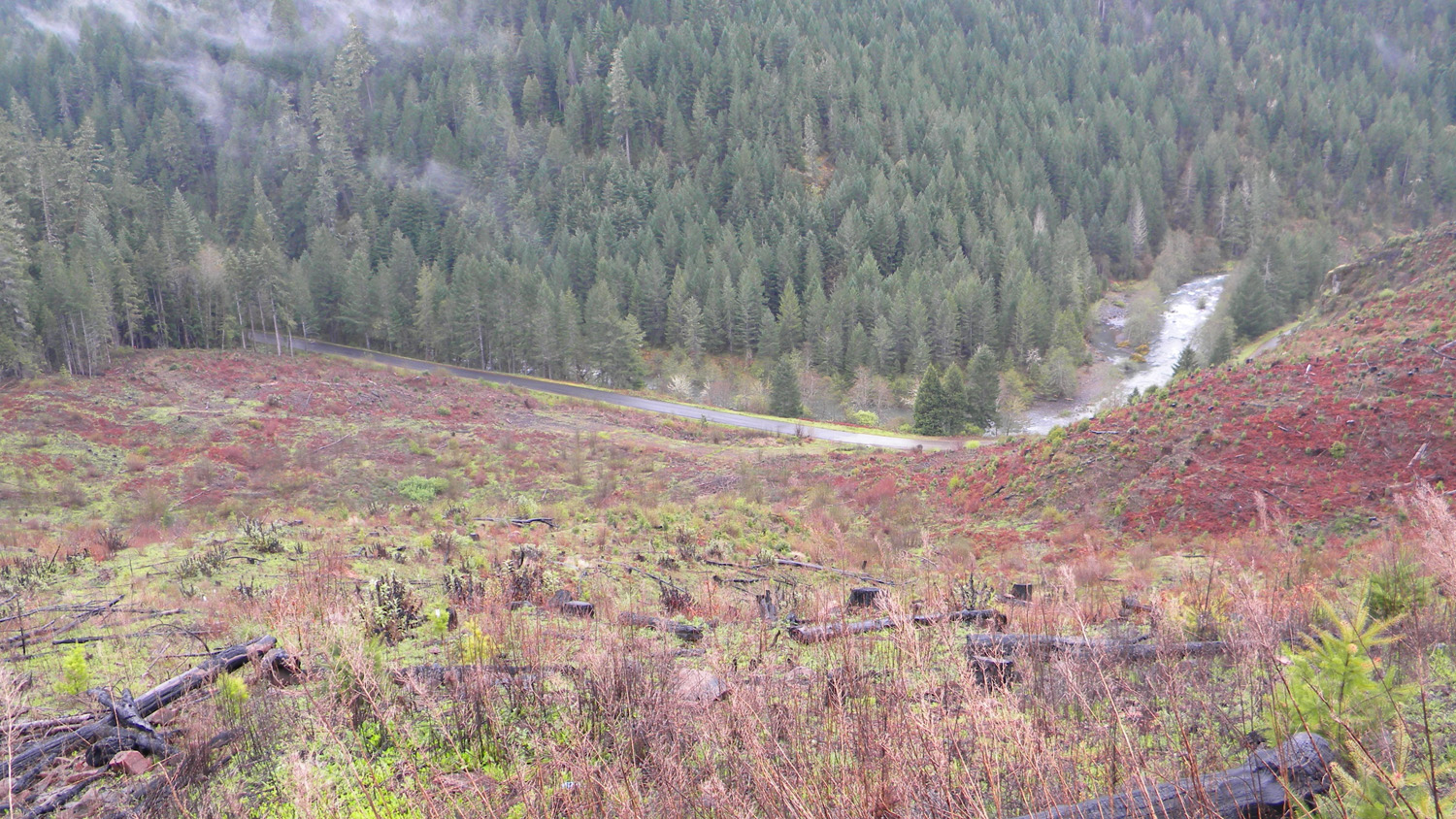
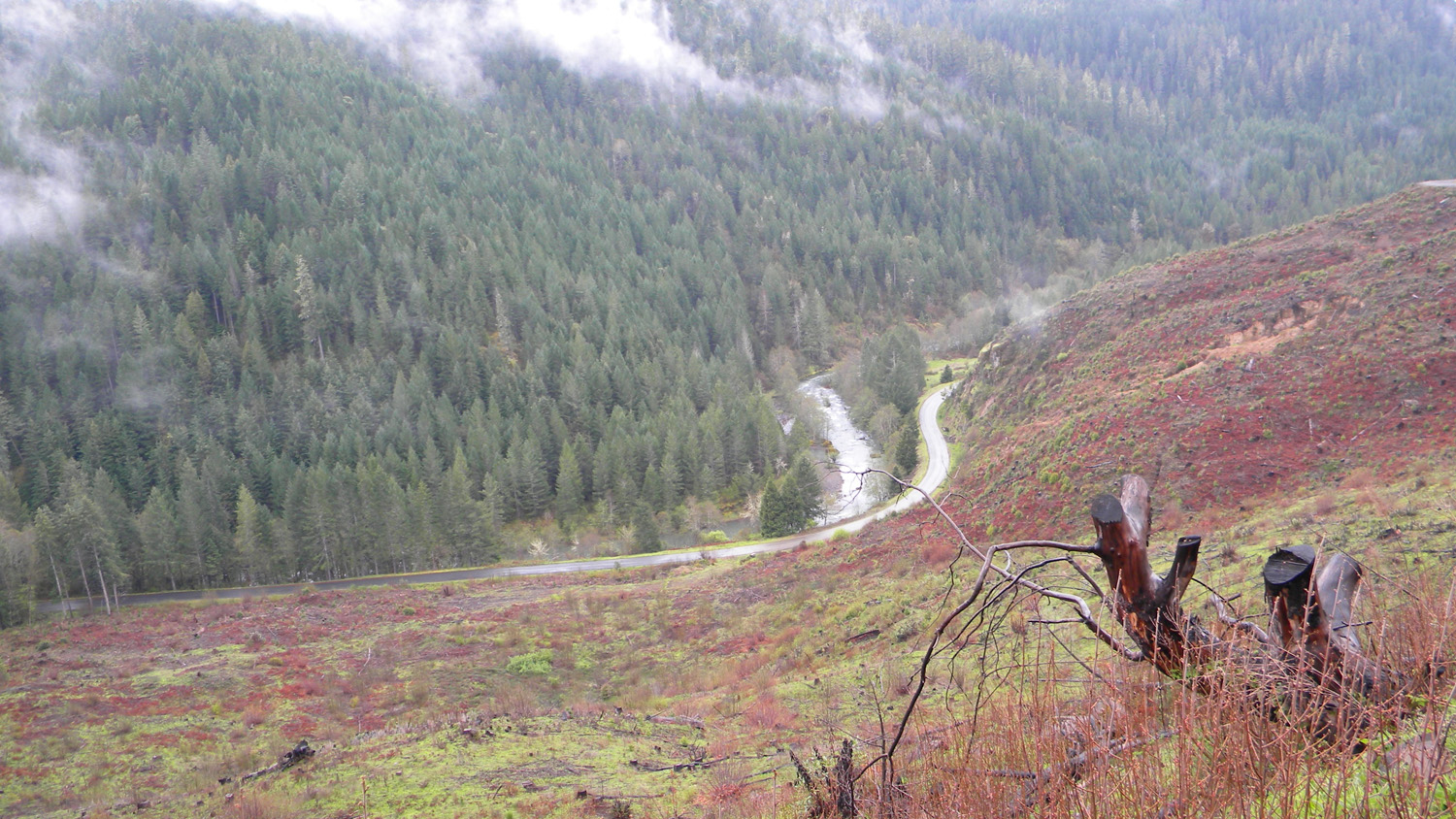
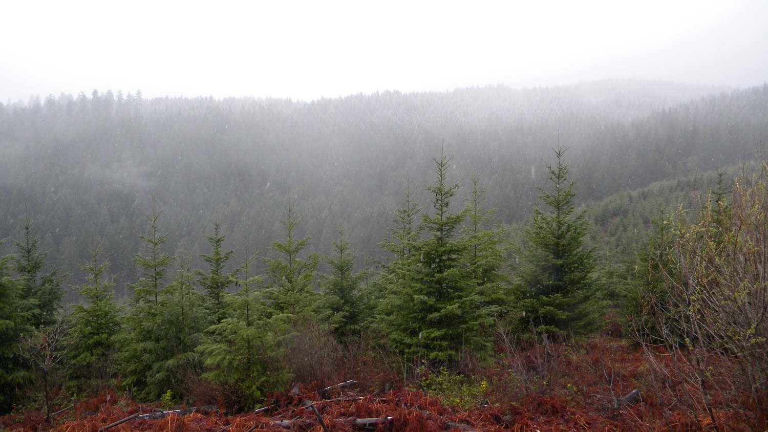
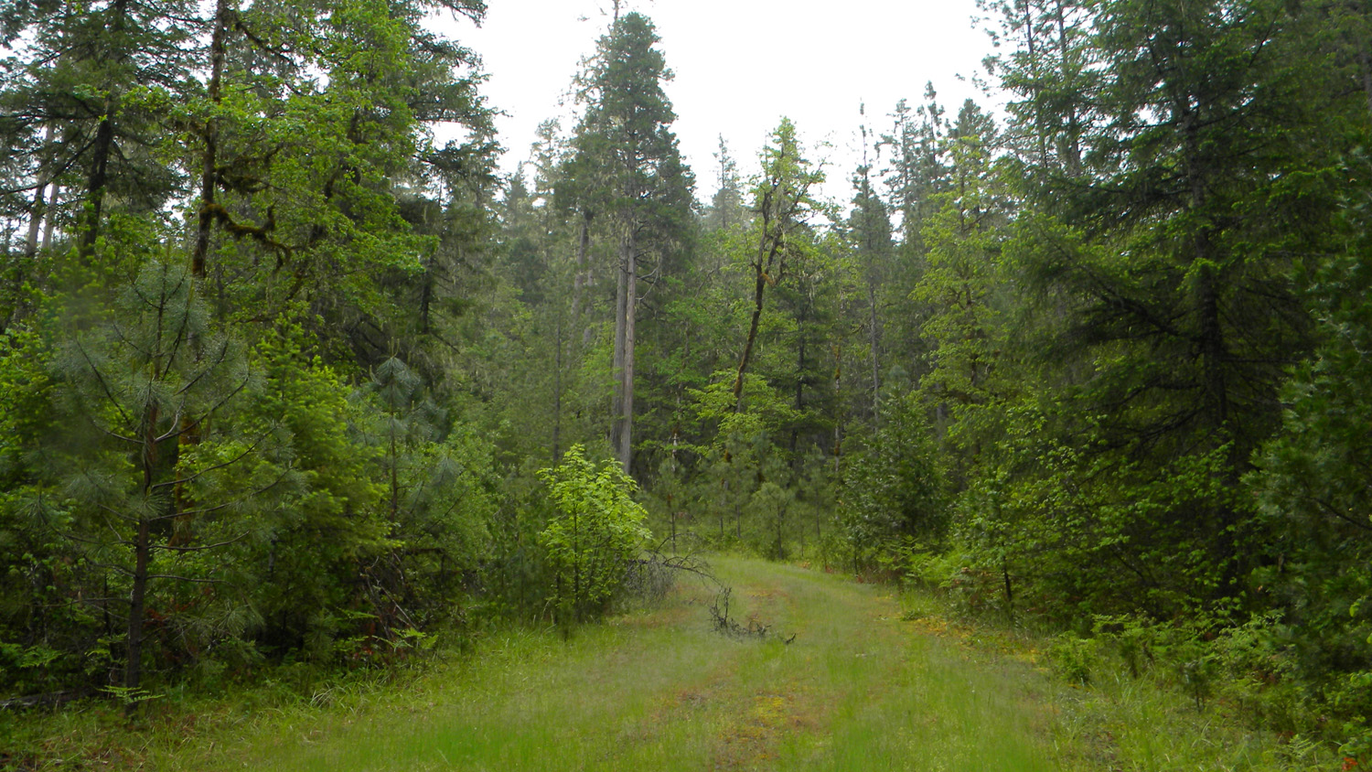
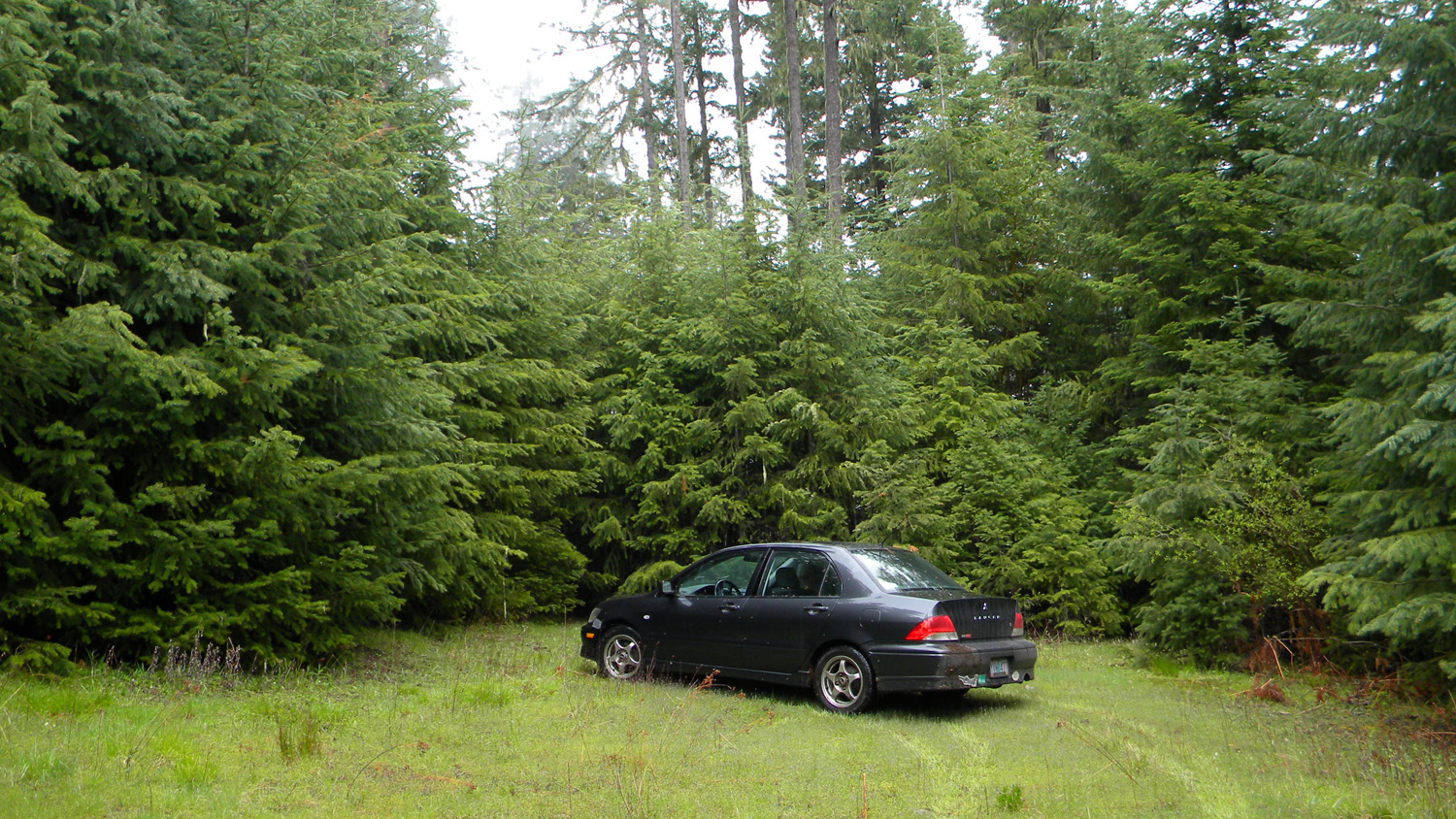
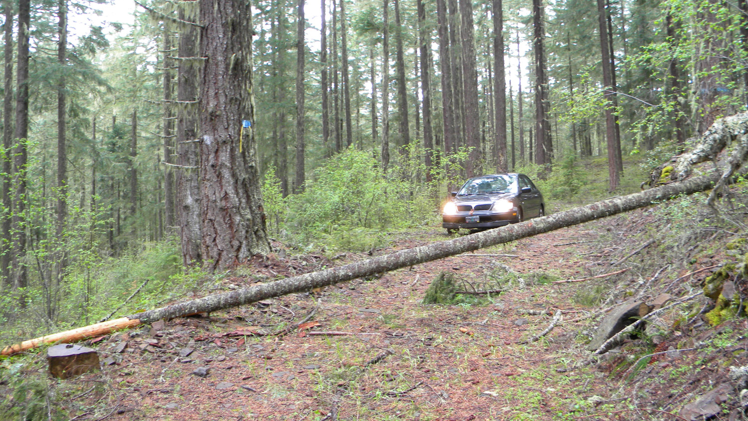
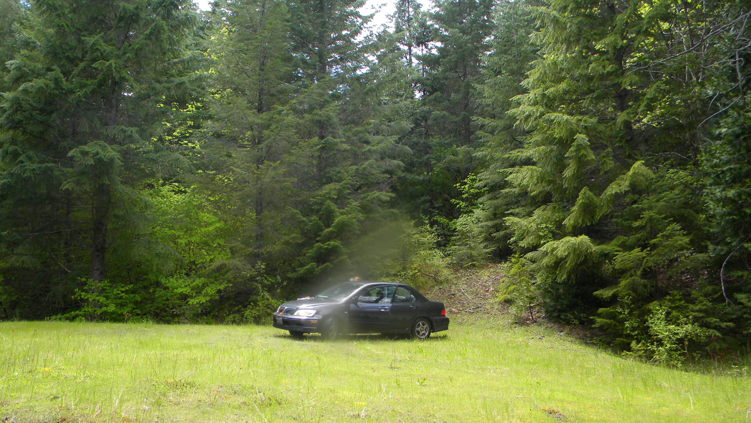
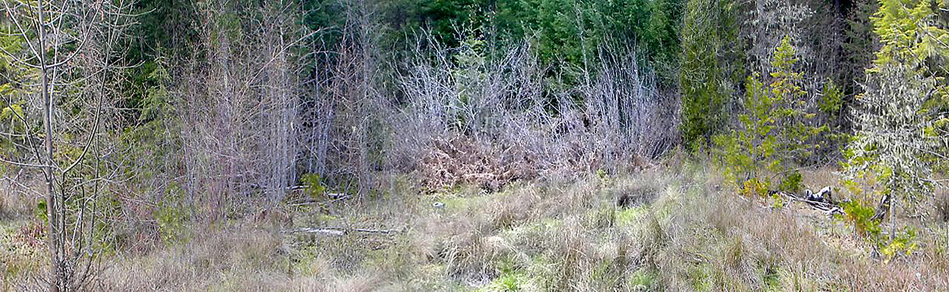
0456-0464_3113_Road-360
|
||
0500-0508_Hamlin-360 |
||
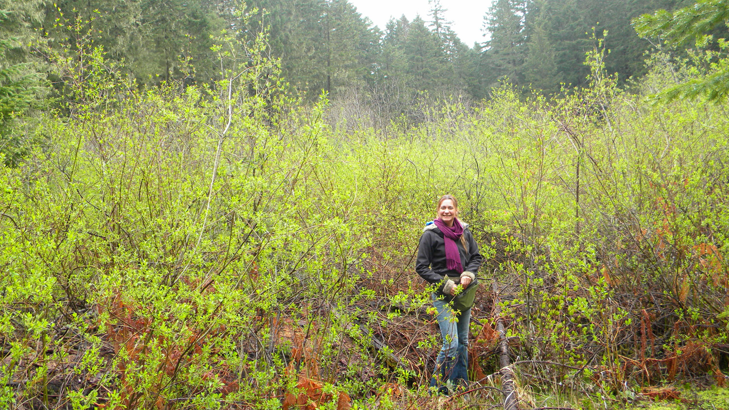
0654-0662_Juncus_Meadow-360 |
||
1780-1789_Moss_Meadow-360 |
||
1800-1811_Golf_Course-360 |
||
1824-1832_Logging_Spur-360 |
||
1881-1883_500_Road_View-180 |
||
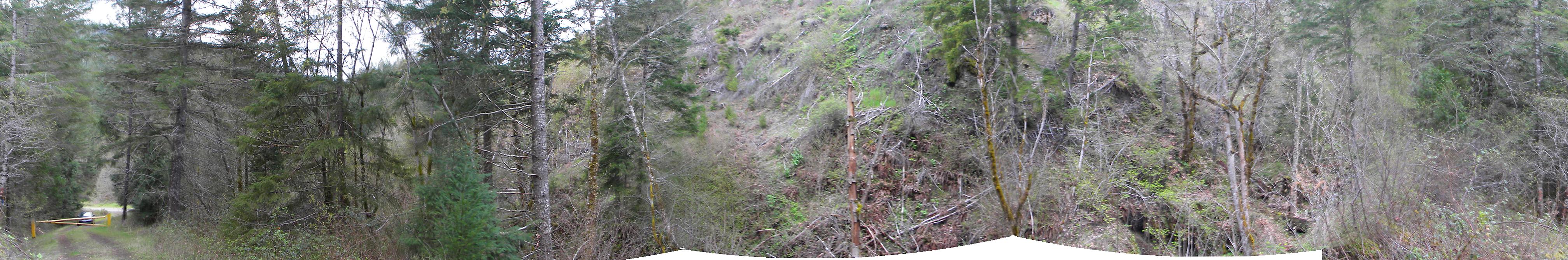
1889-1897_300_Road_2929-360 |
||
1949_1951_500_Road_End-180 |
||
1954-1956_510_Road_View-180 |
||
1958-1961_510_Road_View-180 |
||
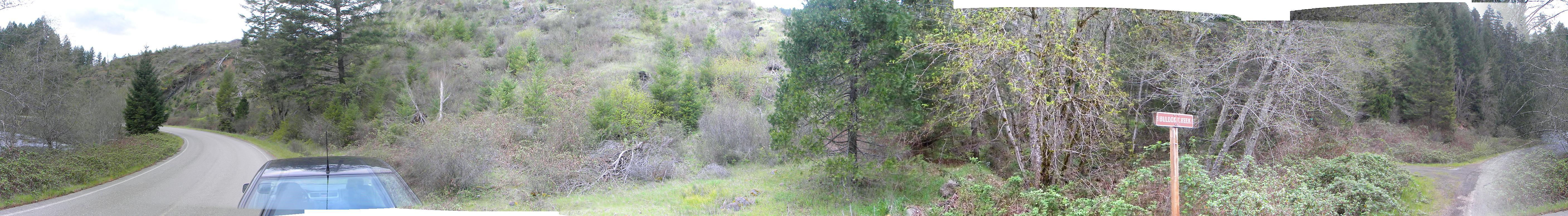
1968-1972_Bullock_Creek-360 |
||
1976-1983_Bullock_Creek-360 |
||
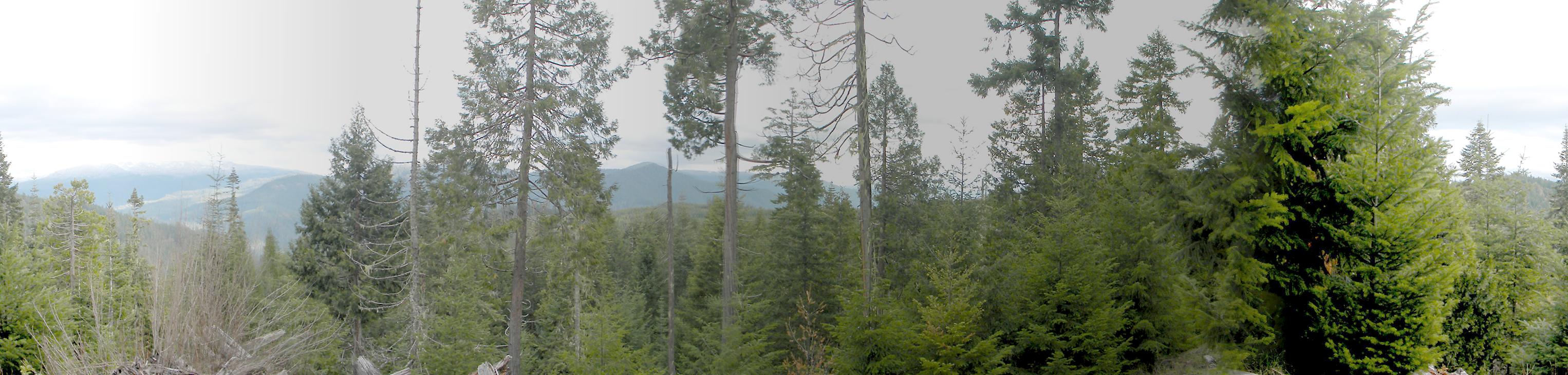
1989-1997_Pickett_Butte-360 |
||
3450-3457_30_Road-360 |
||
3480-3488_32_Road-360 |
||
3577-3586_452_Road_End-360 |
 |
 |
 |
 |
 |
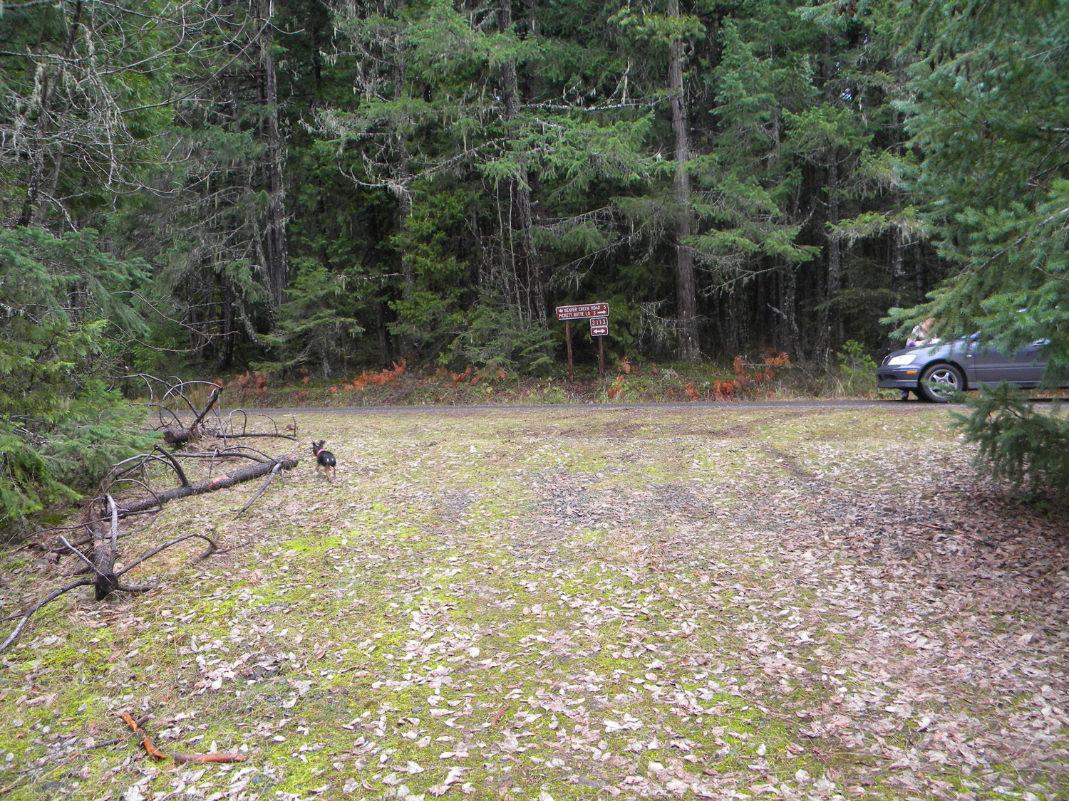
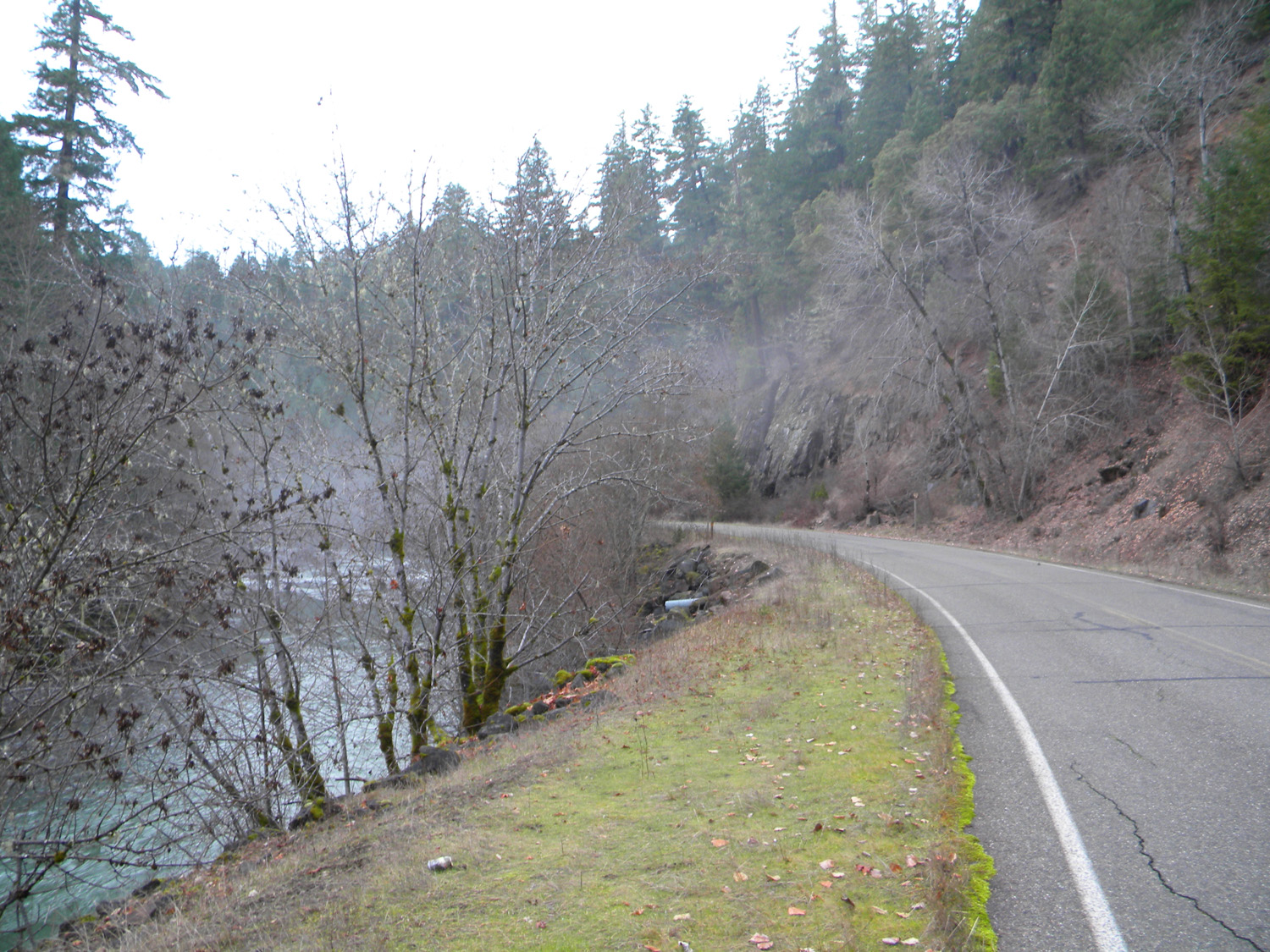
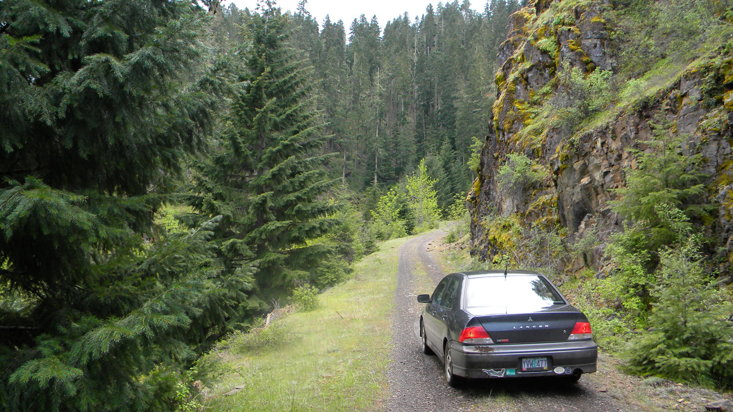
0460_3113_Road_View
|
0462_3113_Road_View
|
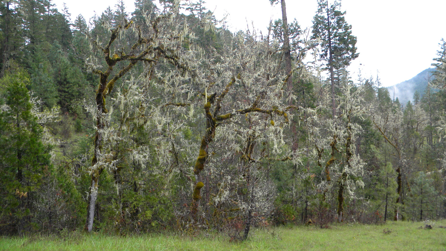
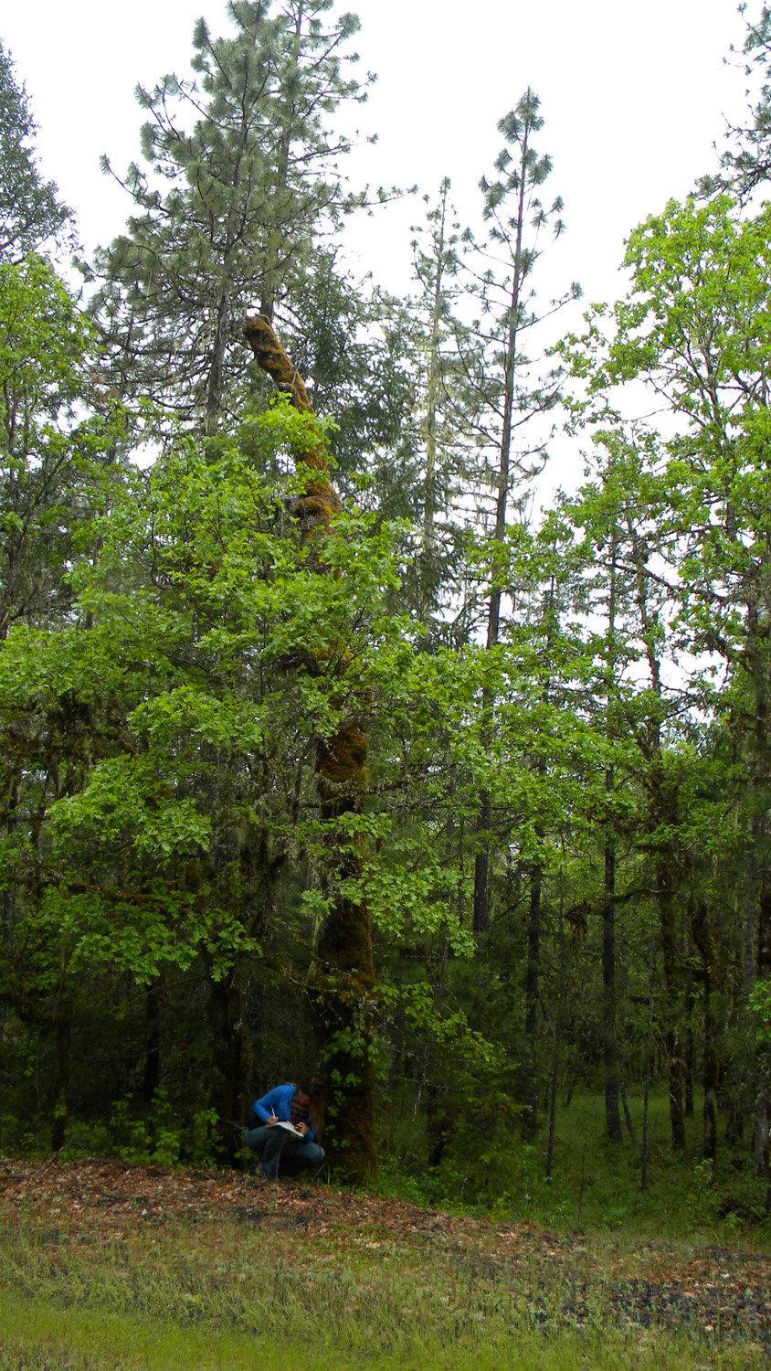
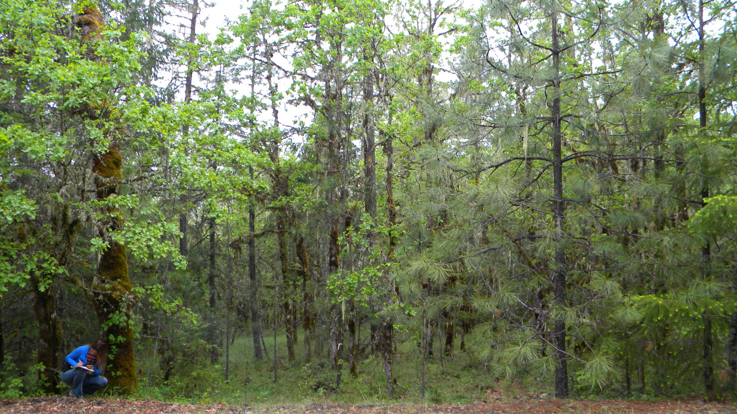
0465_Oak
|
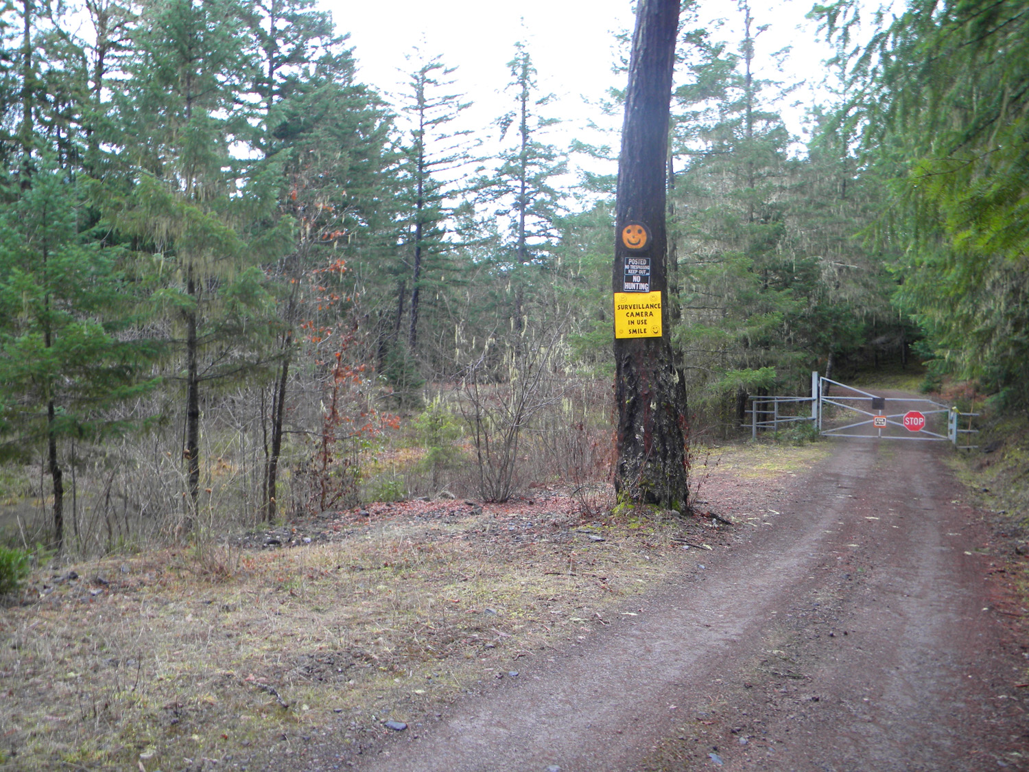
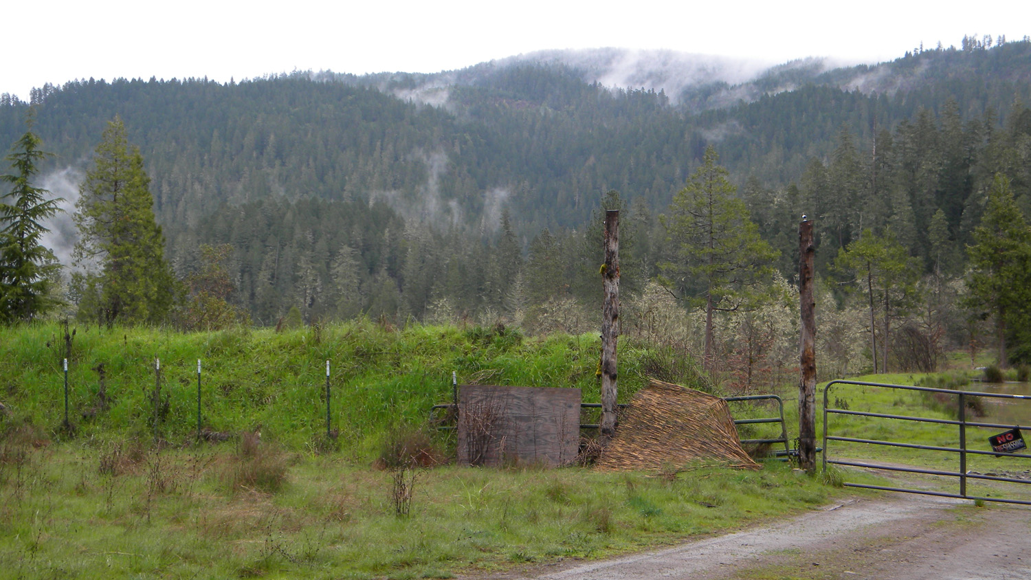
0473_Private_Property
|
0474_3114_Road
|
 |
 |
 |
 |
 |
0475_Landmark
|
0476_5301_Road
|
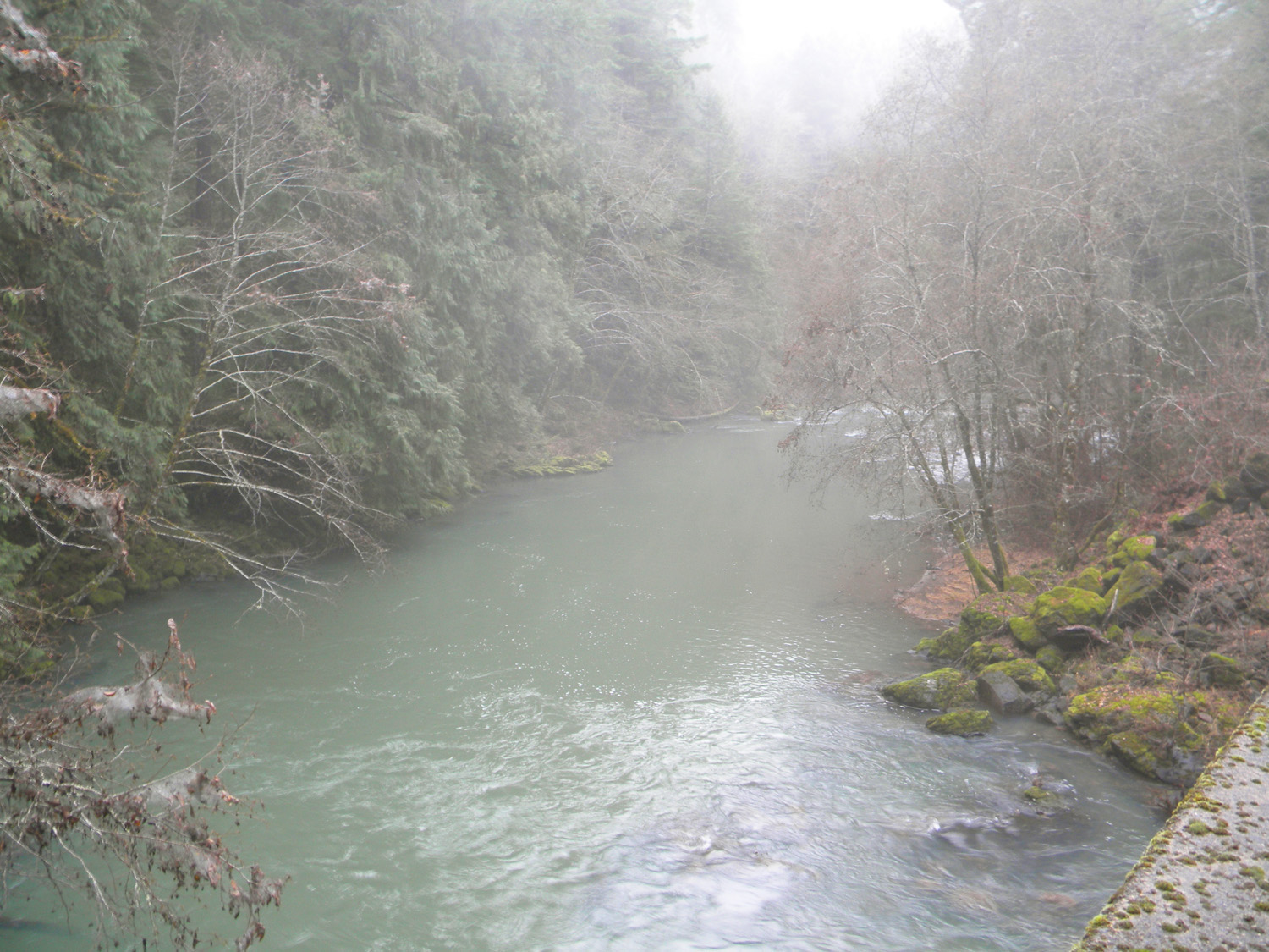
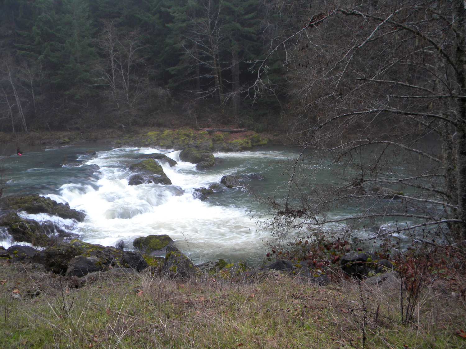
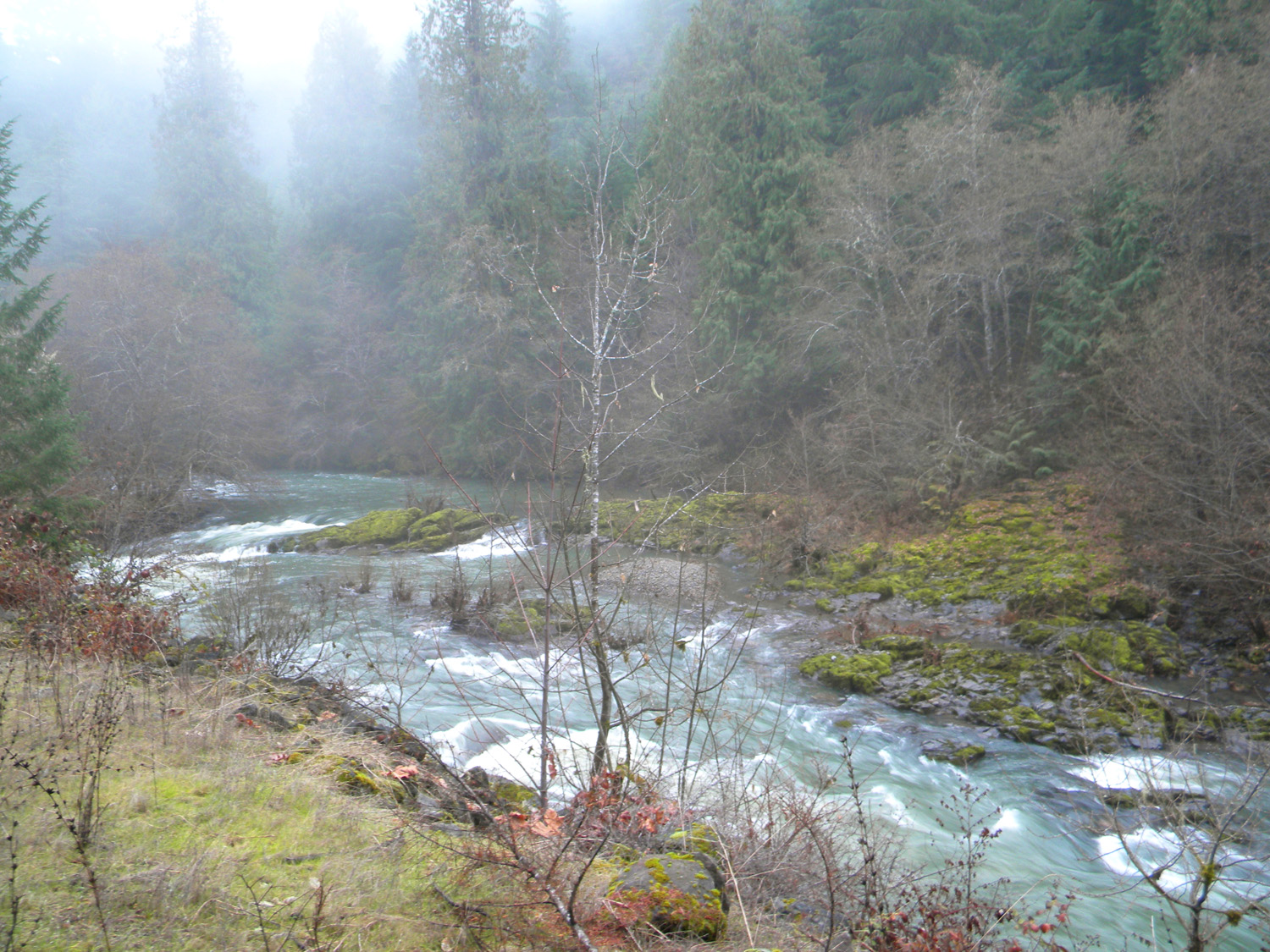
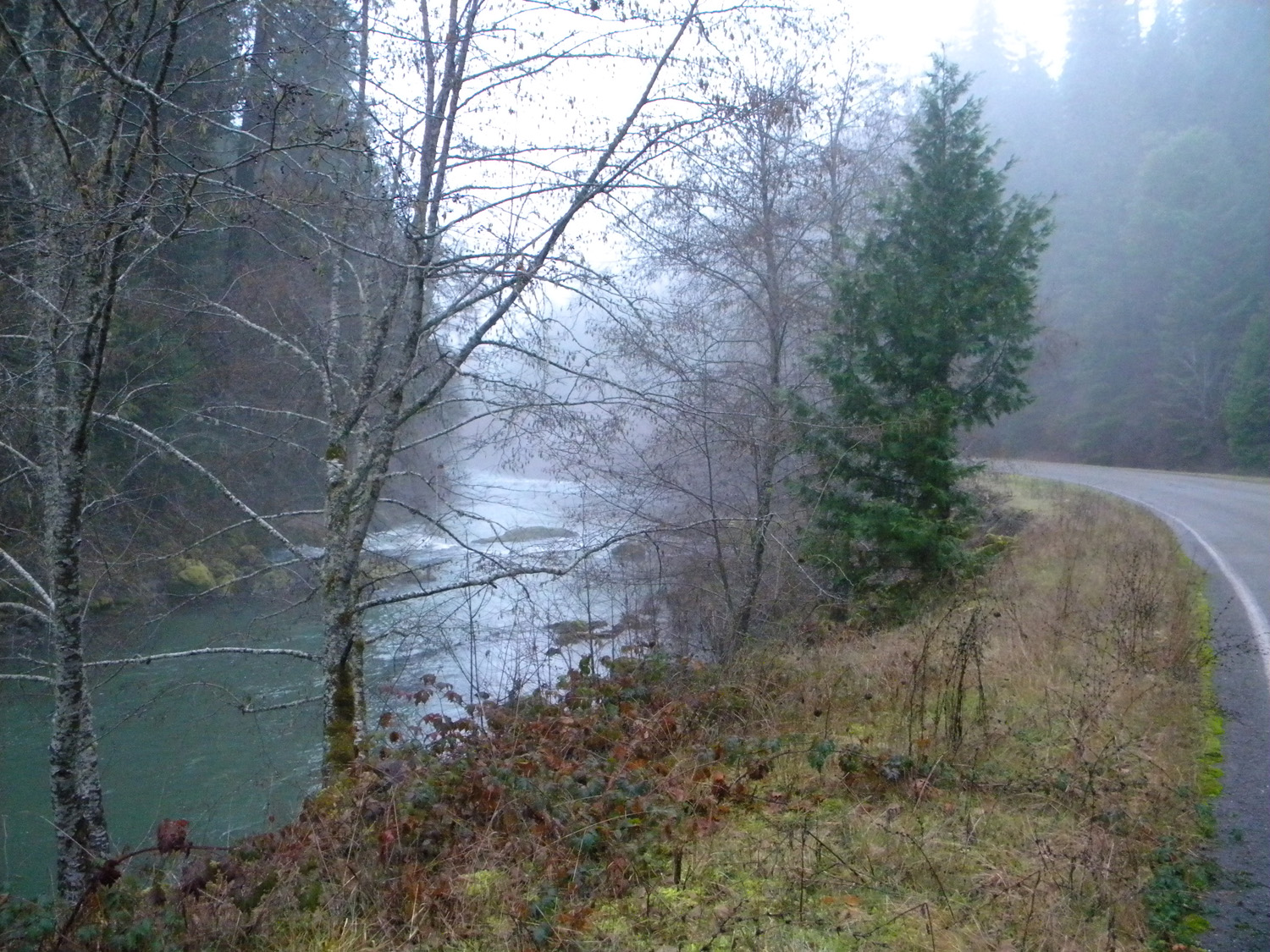
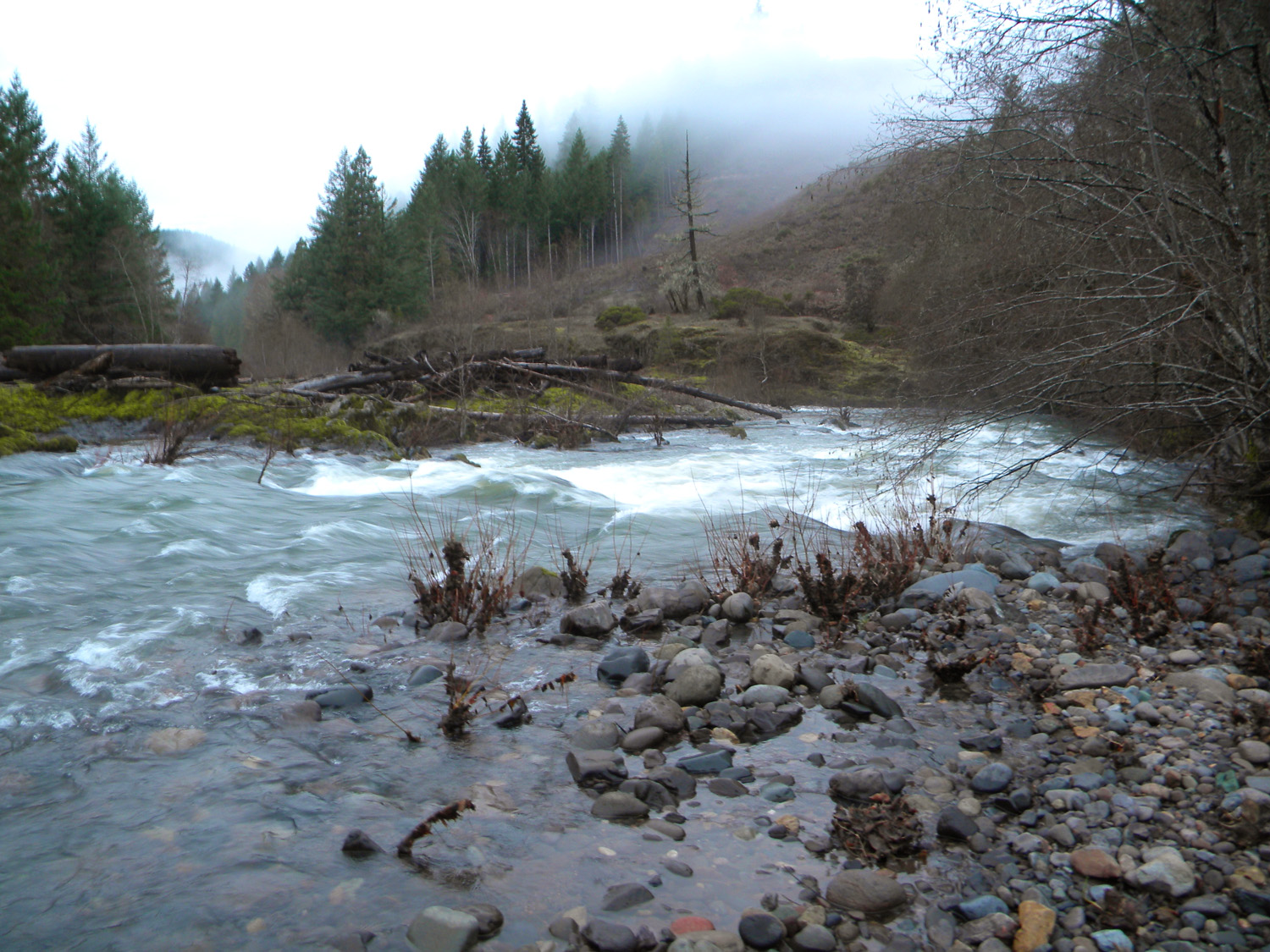
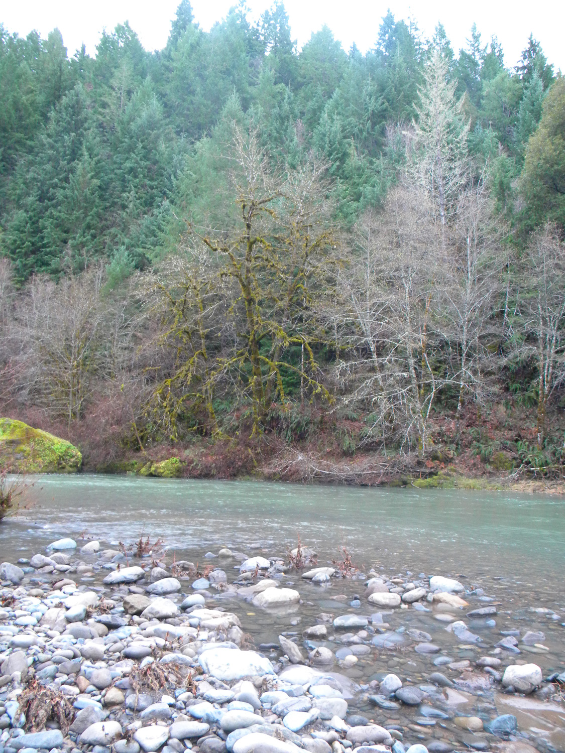
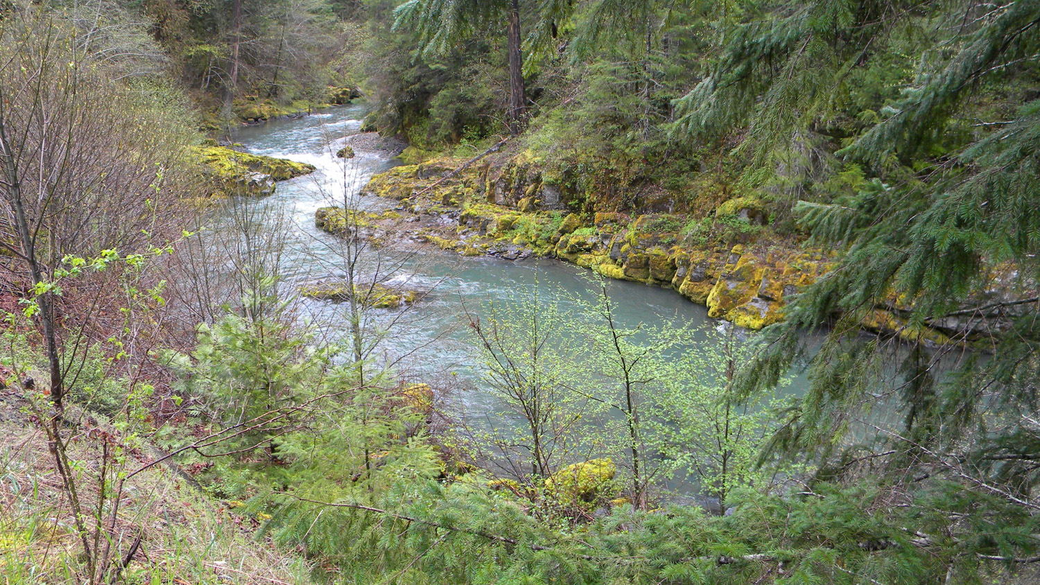
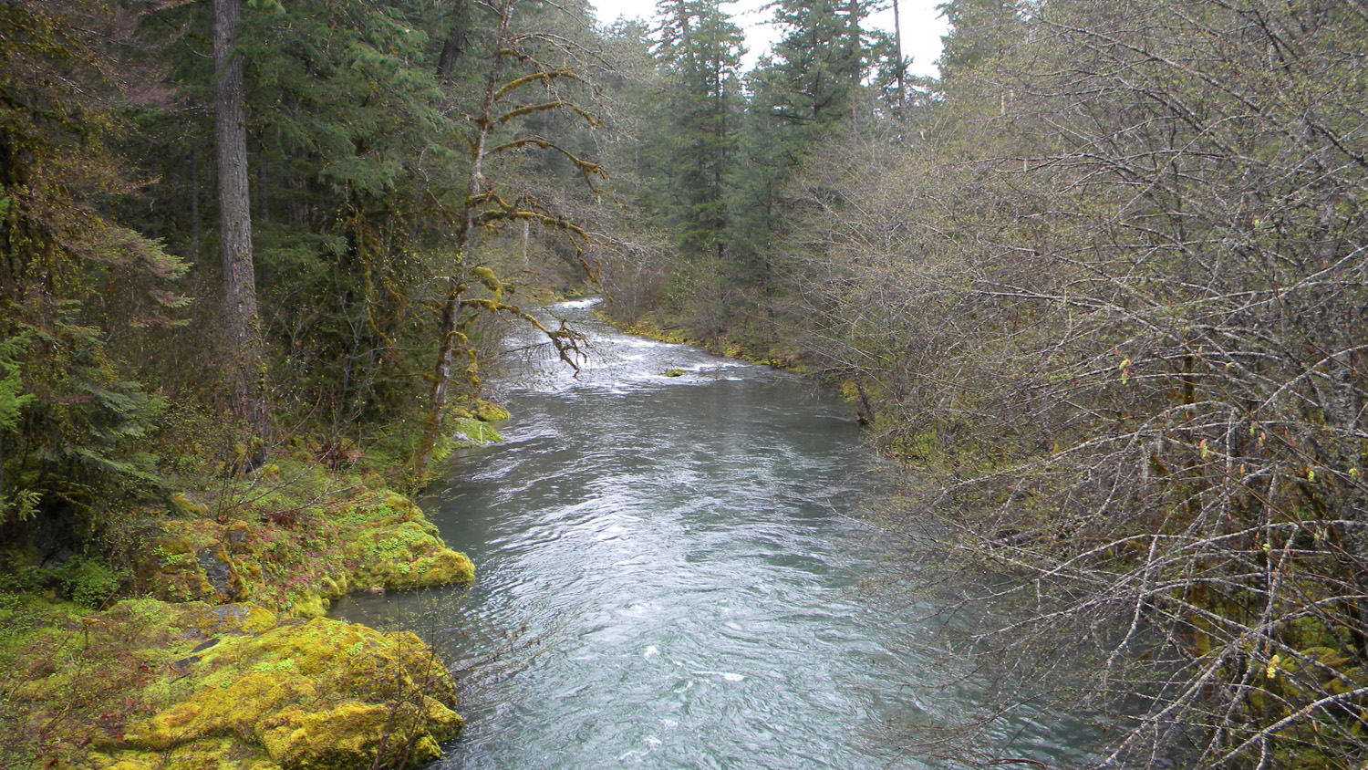
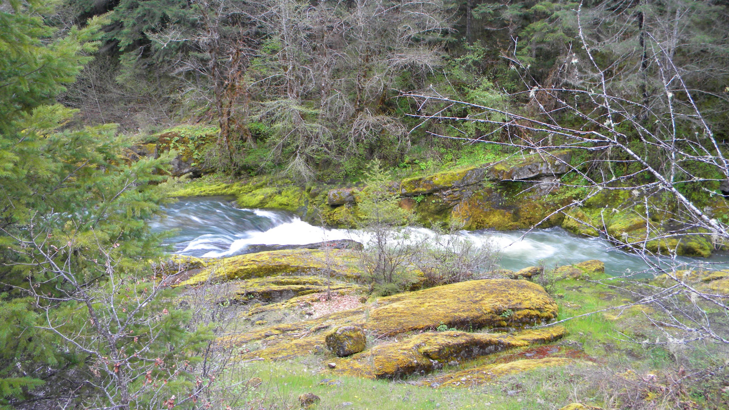
0477_Jackson_Creek
|
0478_Jackson_Creek
|
0482_Jackson_Creek
|
 |
 |
 |
 |
 |
0483_Jackson_Creek
|
0484_Jackson_Creek
|
0485_Jackson_Creek
|
0486_Jackson_Creek
|
0487_Jackson_Creek
|
 |
 |
 |
 |
 |
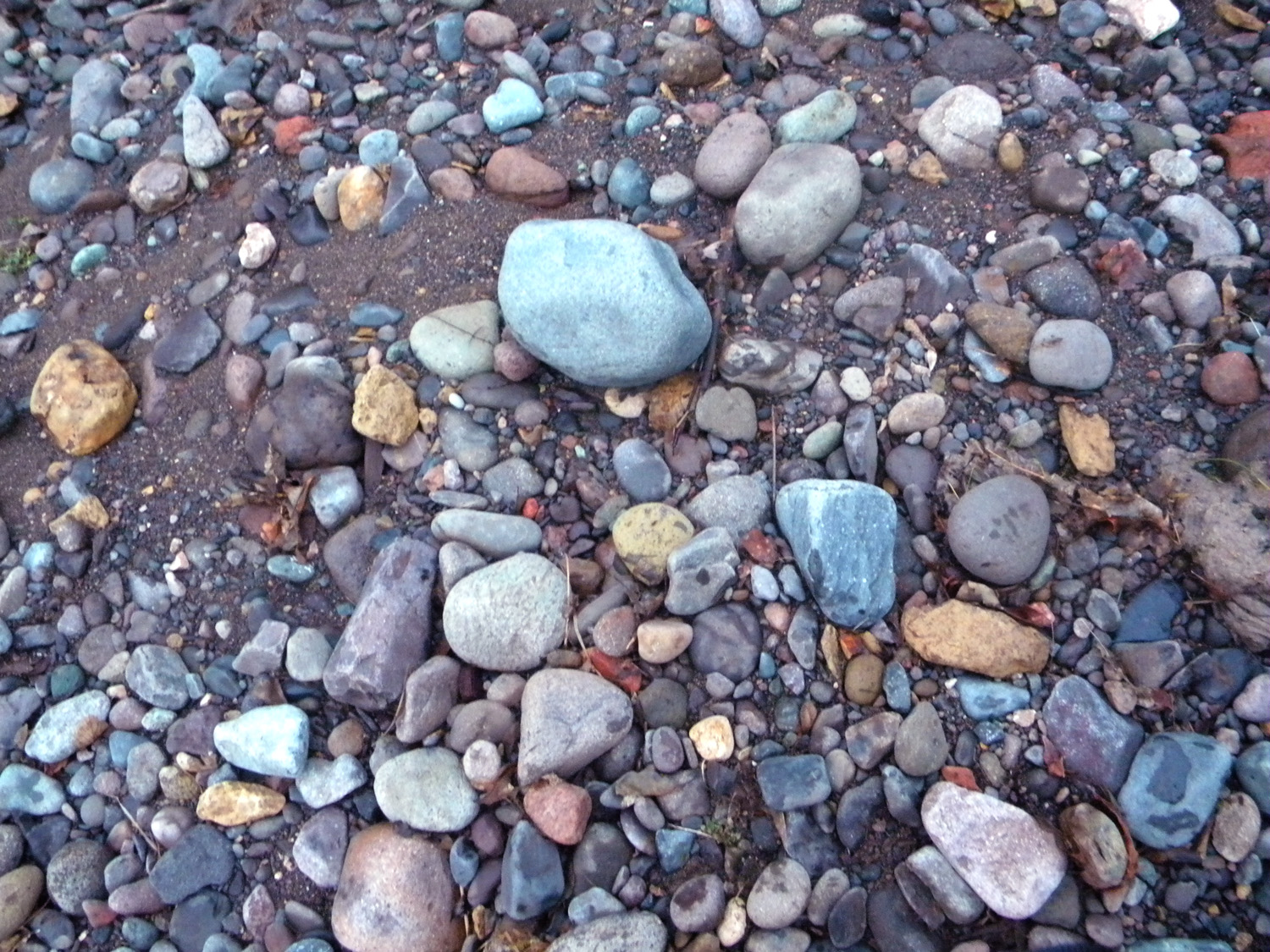
0488_River_Rocks
|
0489_Creek_Crossing
|
0490_River_Rocks
|
0491_Jackson_Creek
|
0492_Jackson_Creek
|
 |
 |
 |
 |
 |
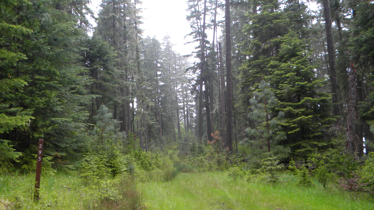
0504_390_Road |
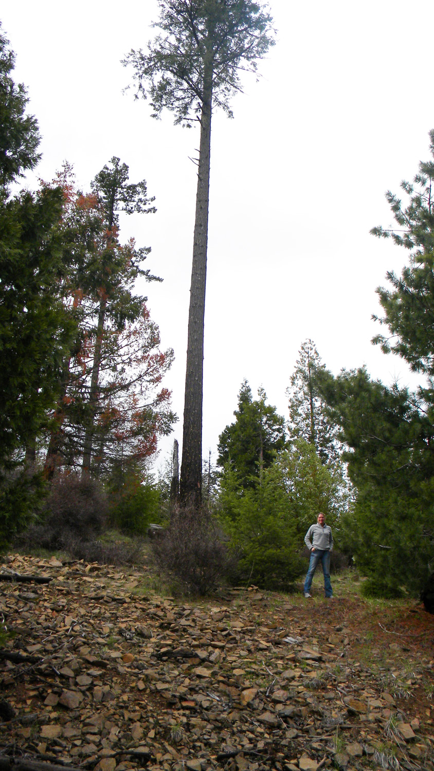
0509_Tree |
0649_2nd_Growth |
0650_2nd_Growth |
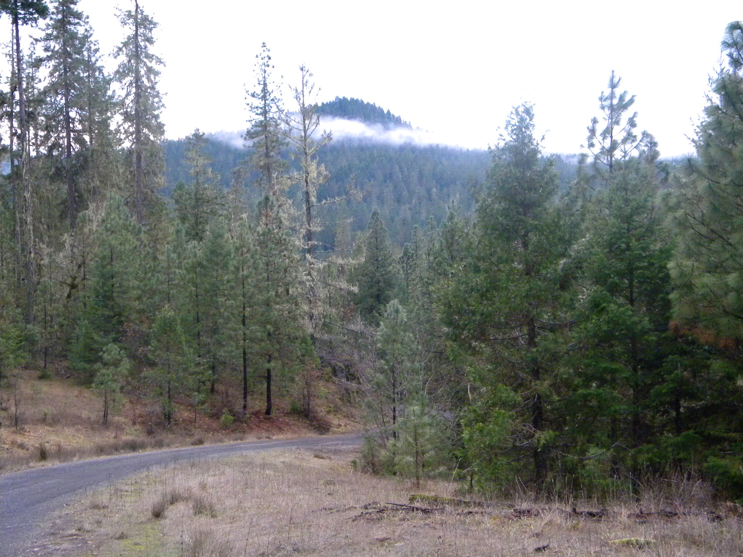
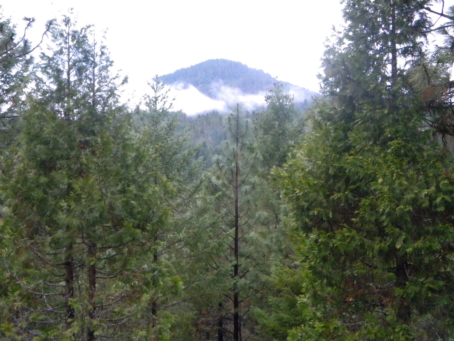
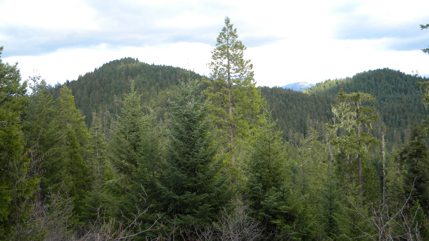
0651_Butte |
 |
 |
 |
 |
 |
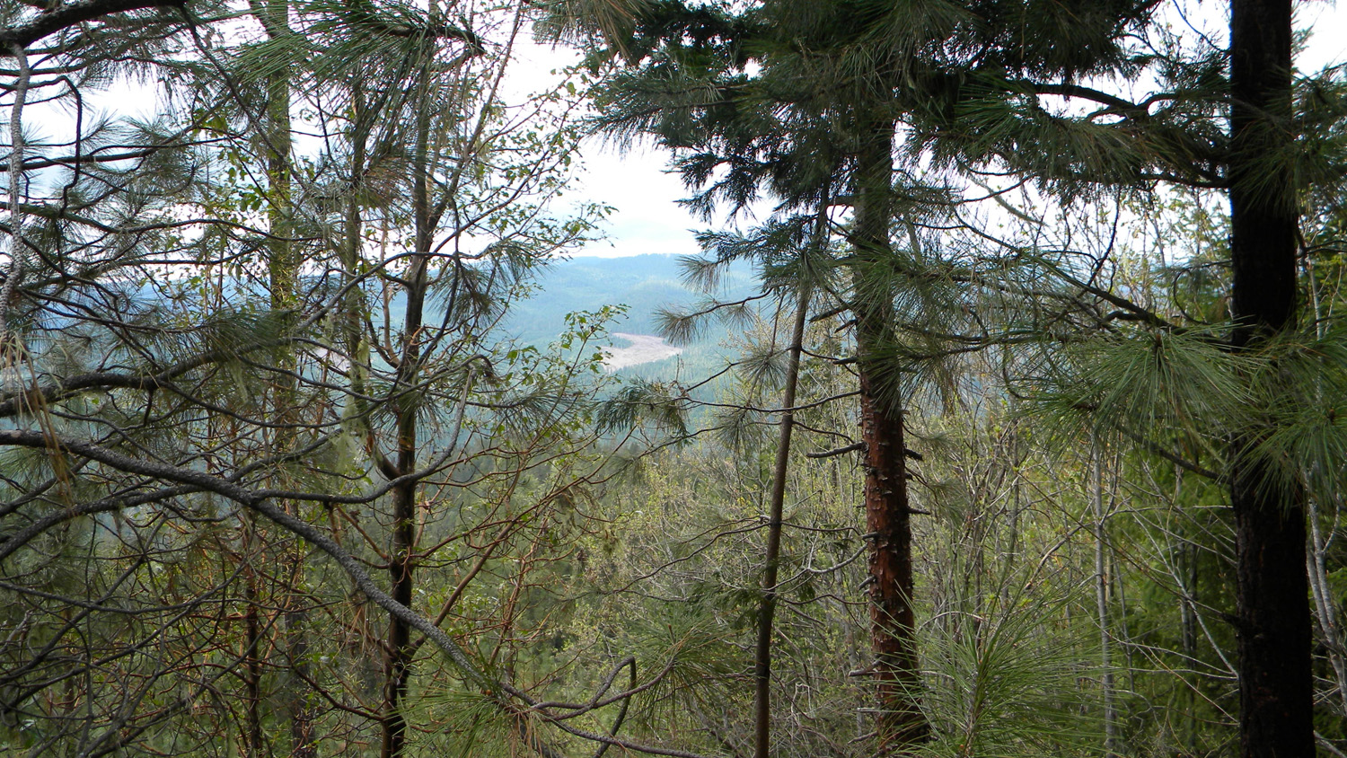
0652_View_400_Road |
0653_Madrone_400_Road |
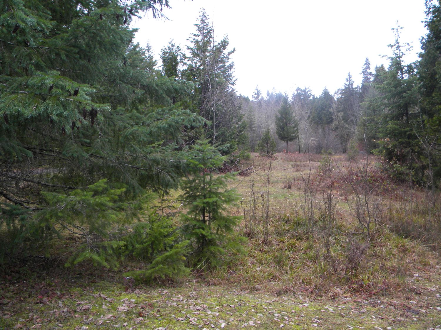
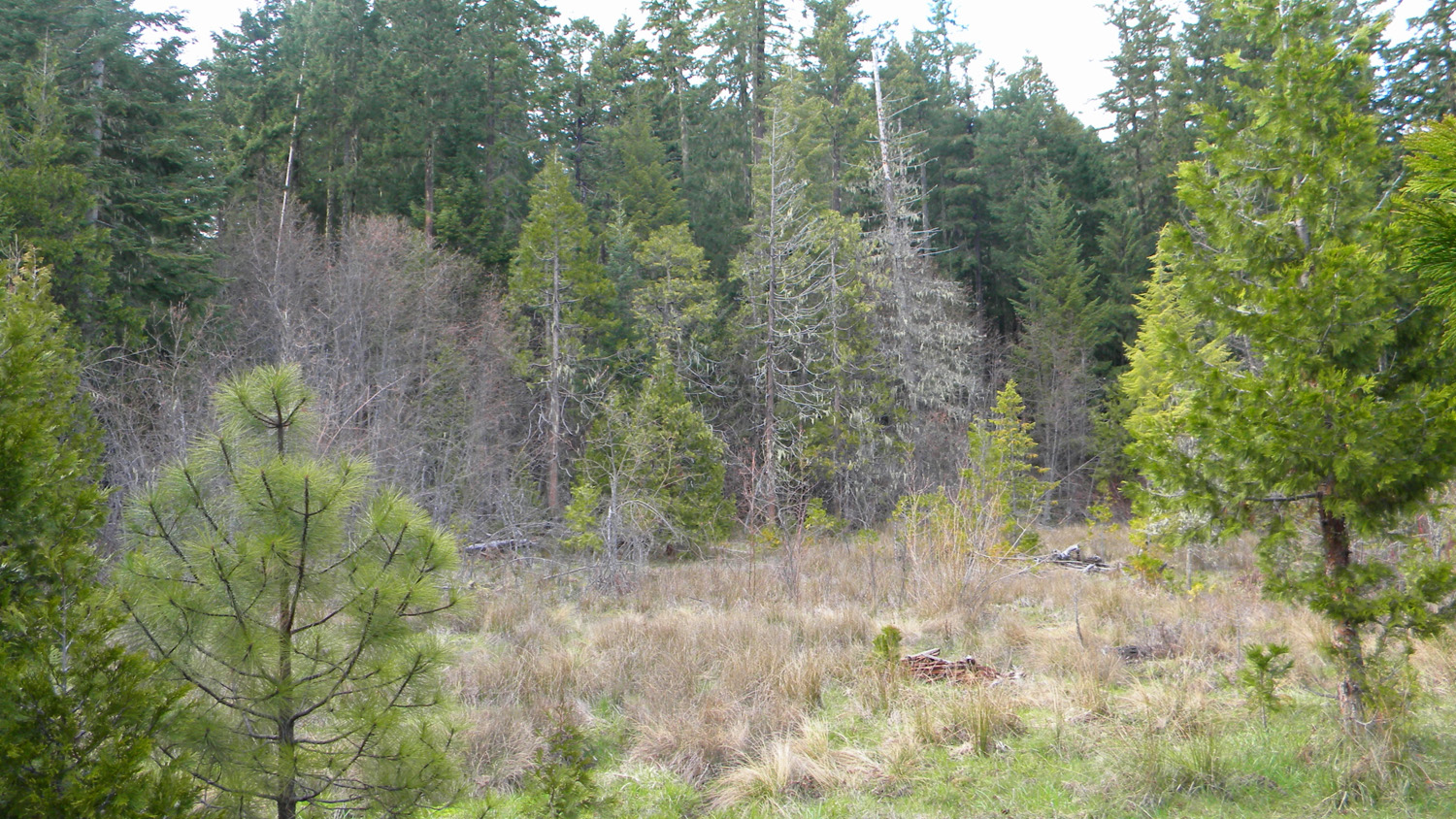
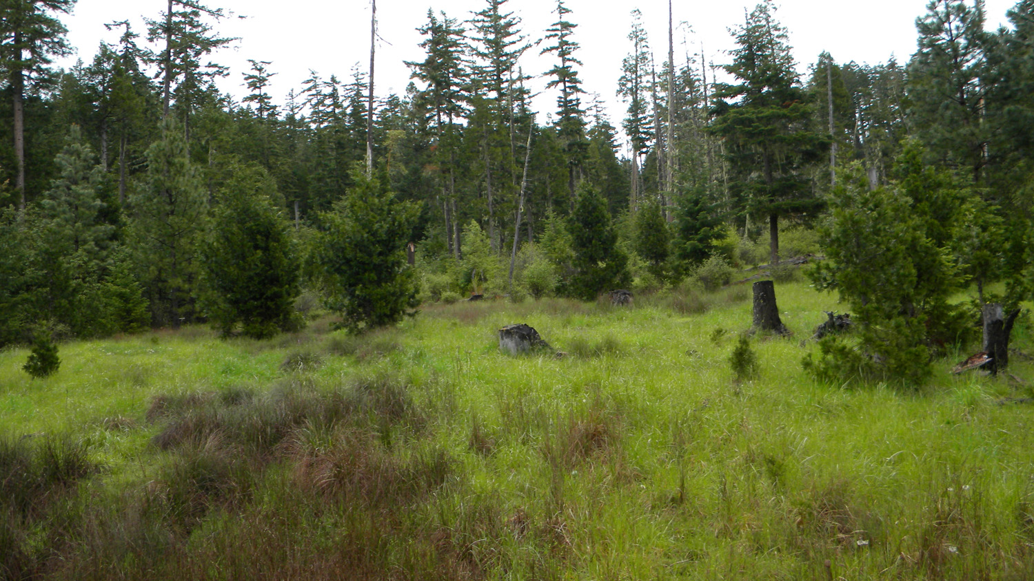
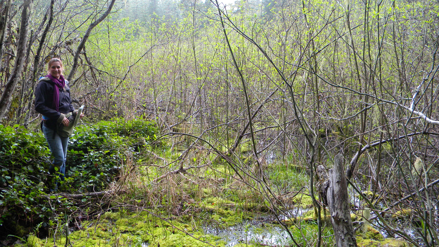
0658_Juncus_Meadow |
1564_Jackson_Creek |
1565_Jackson_Creek |
 |
 |
 |
 |
 |
1566_Jackson_Creek |
1767_2929_Road_View |
1768_2929_Road |
1769_2929_Road |
1770_2929_Road_View |
 |
 |
 |
 |
 |
1771_2929_Road |
1772_2929_Road |
1773_2929_Road |
1774_2929_Road |
1775_2929_Road_View |
 |
 |
 |
 |
 |
1776_2929_Road_View |
1777_2929_Road |
1778_2929_Road |
1779_2929_Road_View |
1790_Oak |
 |
 |
 |
 |
 |
1791_Oak |
1793_249_Road_End |
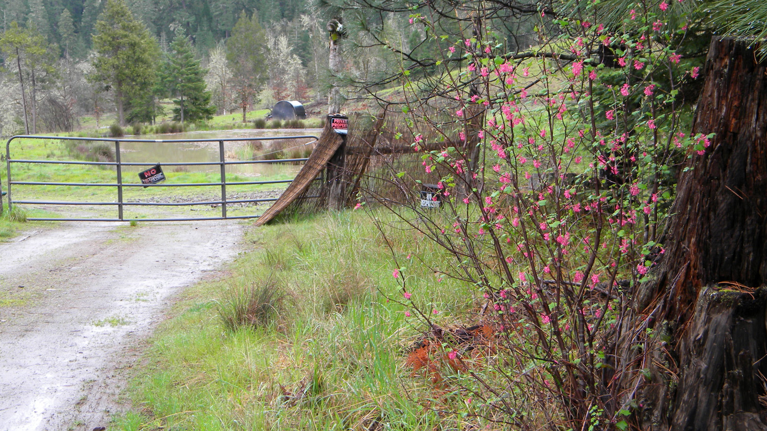
1794_Private_Property |
1795_Private_Property |
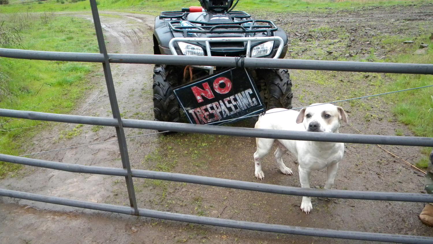
1797_Pit_Bull |
 |
 |
 |
 |
|
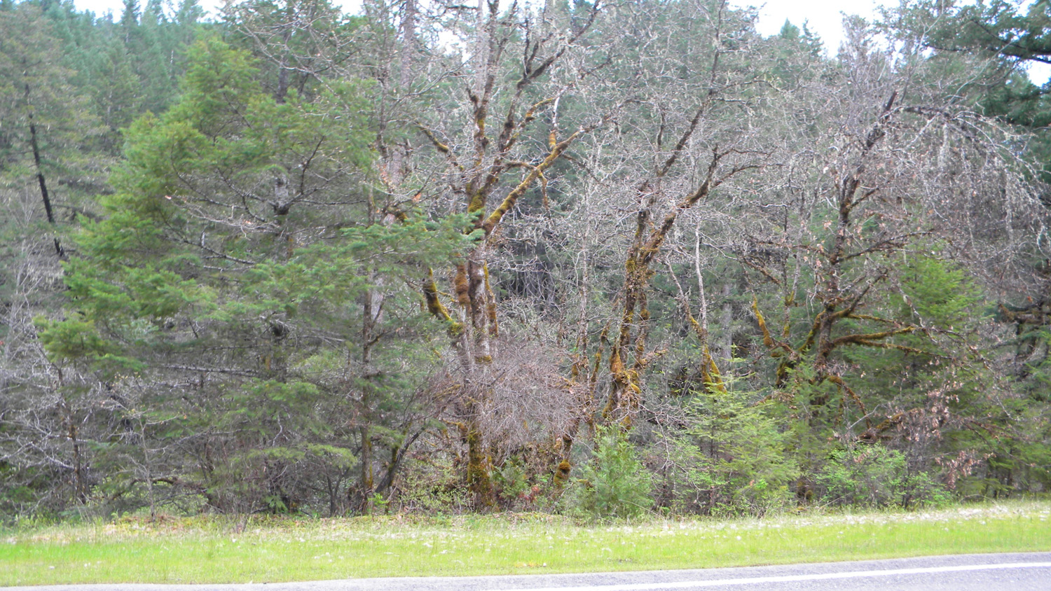
1798_Encroaching_Evergreen |
1799_240_Road_Intersection |
1810_Golf_Course |
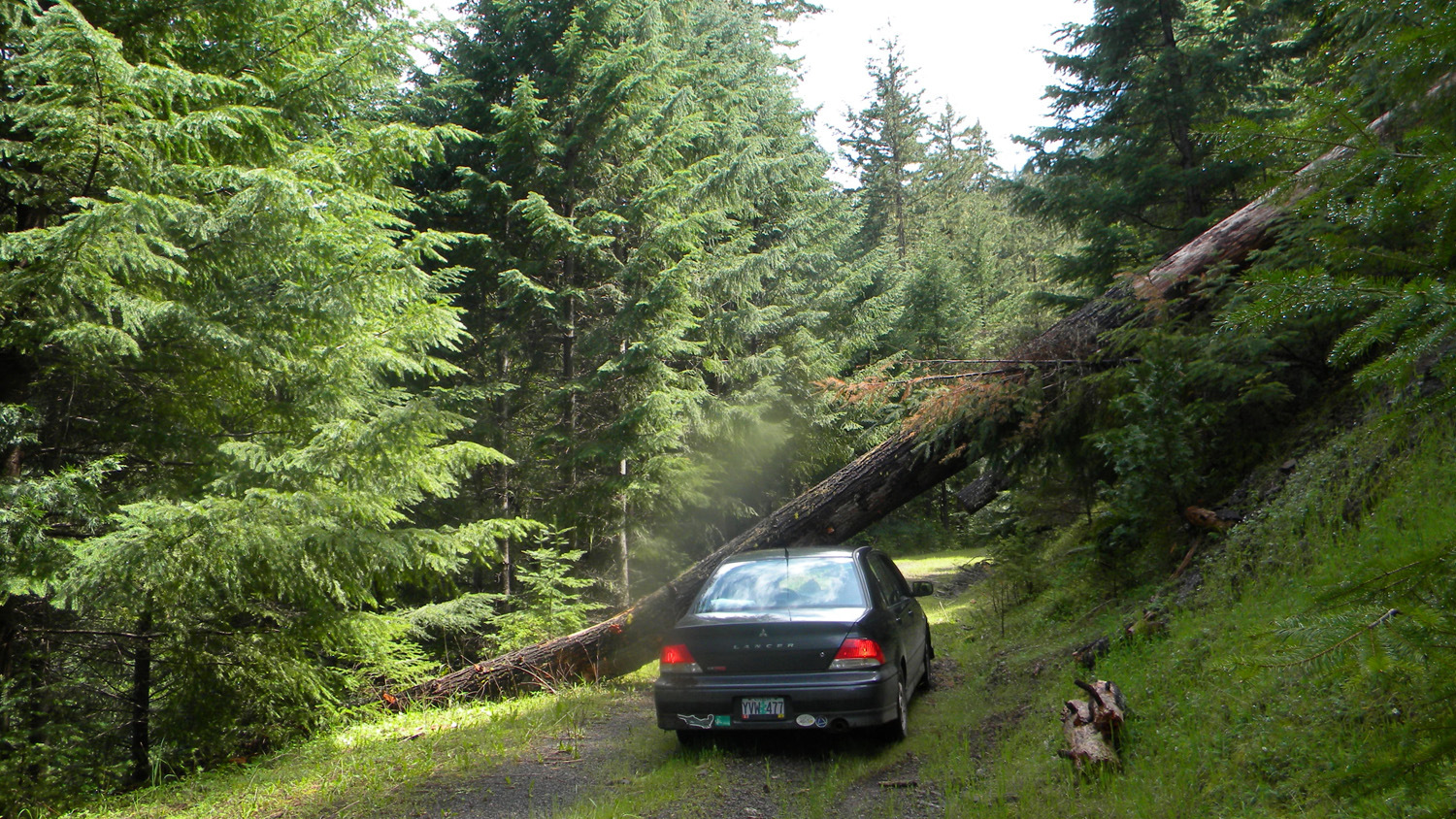
1826_Logging_Spur |
1833_Logging_Spur |
 |
 |
 |
 |
 |
1834_Ramen_Noodle |
1835_Ramen_Noodle |
1836_Ramen_Noodle |
1838_Bottom_Noodle |
1839_Top_Ramen |
 |
 |
 |
 |
 |
1840_Top_Ramen |
1880_500_Road_End |
1882_500_Road_View |
1898_300_2929_Intersection |
1899_Oak |
 |
 |
 |
 |
 |
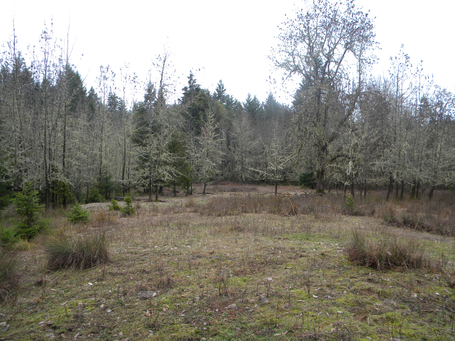
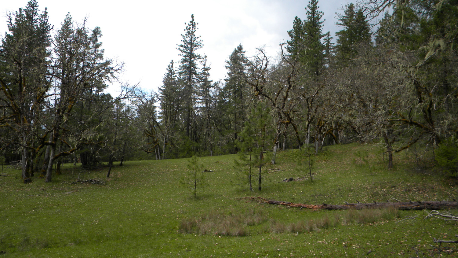
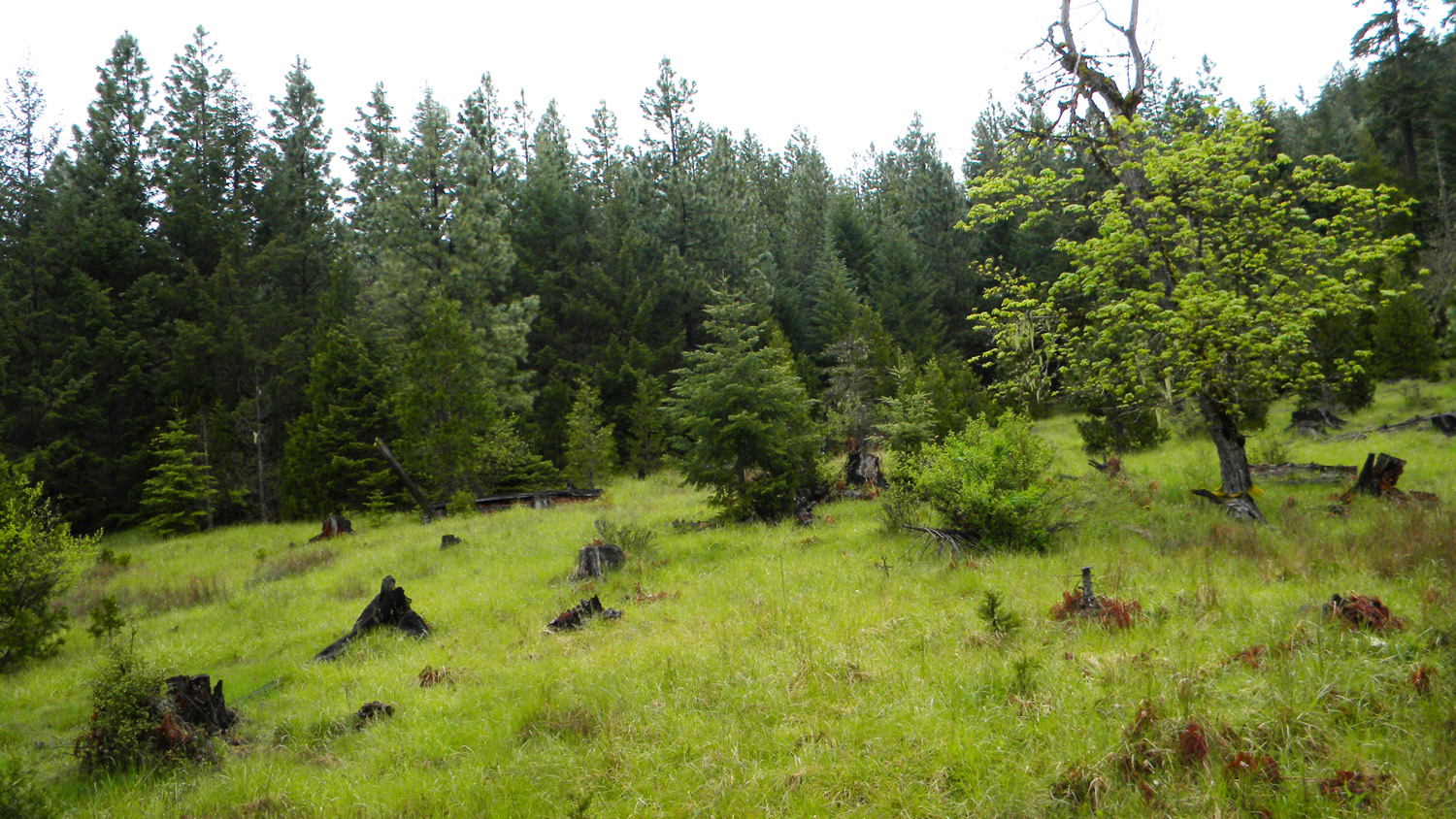
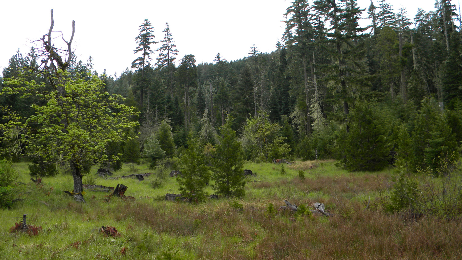
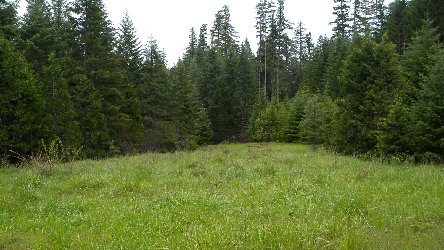
1900_Meadow |
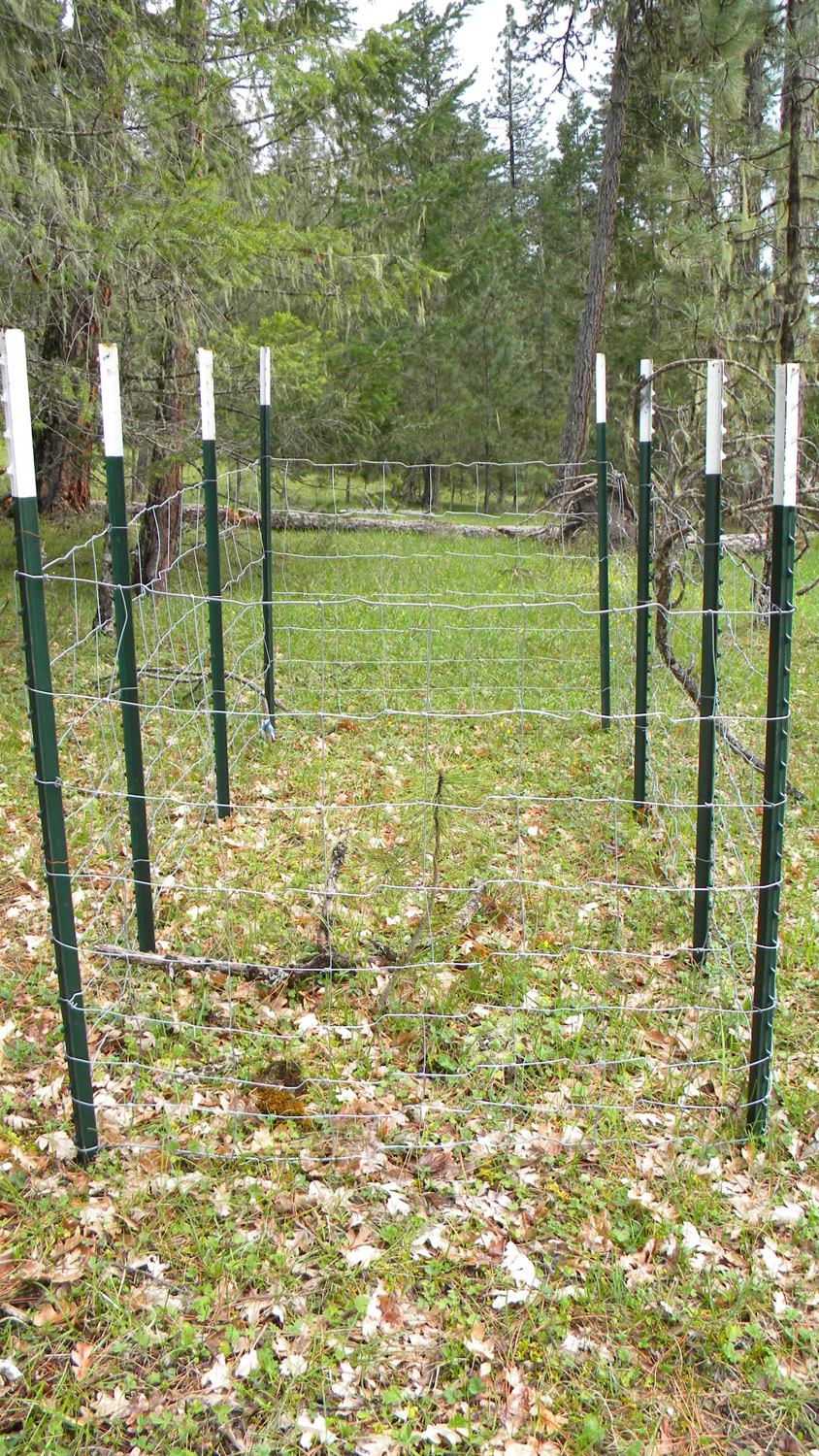
1901_Test_Plot |
1902_Meadow |
1903_Meadow |
1904_301_Road |
 |
 |
 |
 |
 |
1905_300_Road |
1906_Meadow |
1907_Meadow |
1908_Meadow |
1923_630_Road |
 |
 |
 |
 |
 |
1952_Young_Trees |
1953_500_Road_End |
1962_510_Road |
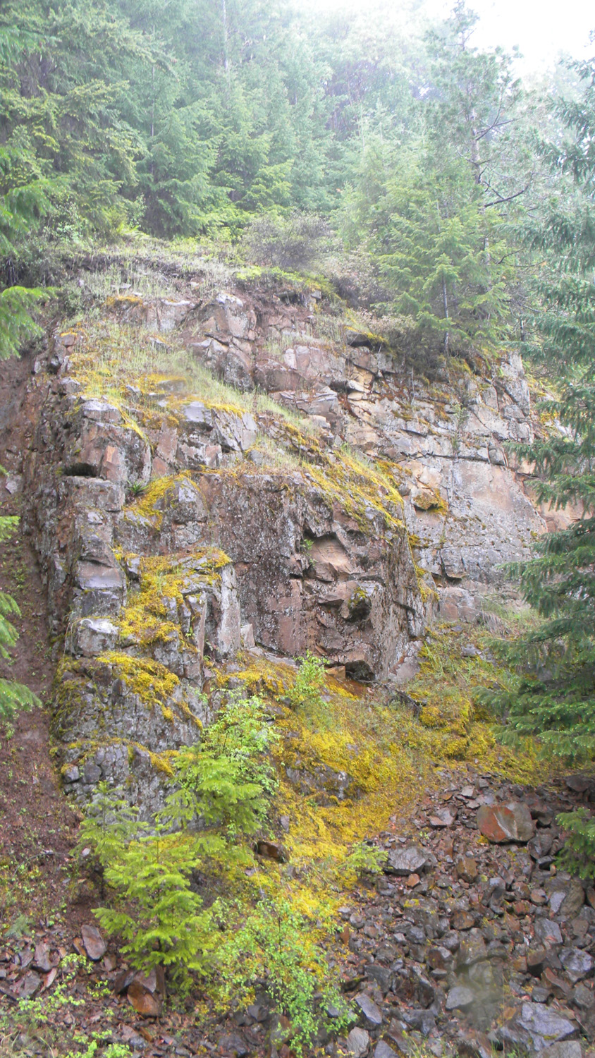
1963_Shale_Rock |
1964_510_Road |
 |
 |
 |
 |
 |
1965_510_Road |
1966_510_Road |
1967_050_Road |
1973_Bullock_Creek |
1974_Bullock_Creek |
 |
 |
 |
 |
 |
1975_Bullock_Creek |
1985_Oak_Waterfall_Grove |
1986_Oak_Waterfall_Grove |
1987_Oak_Waterfall_Grove |
1988_Oak_Grove |
 |
 |
 |
 |
 |
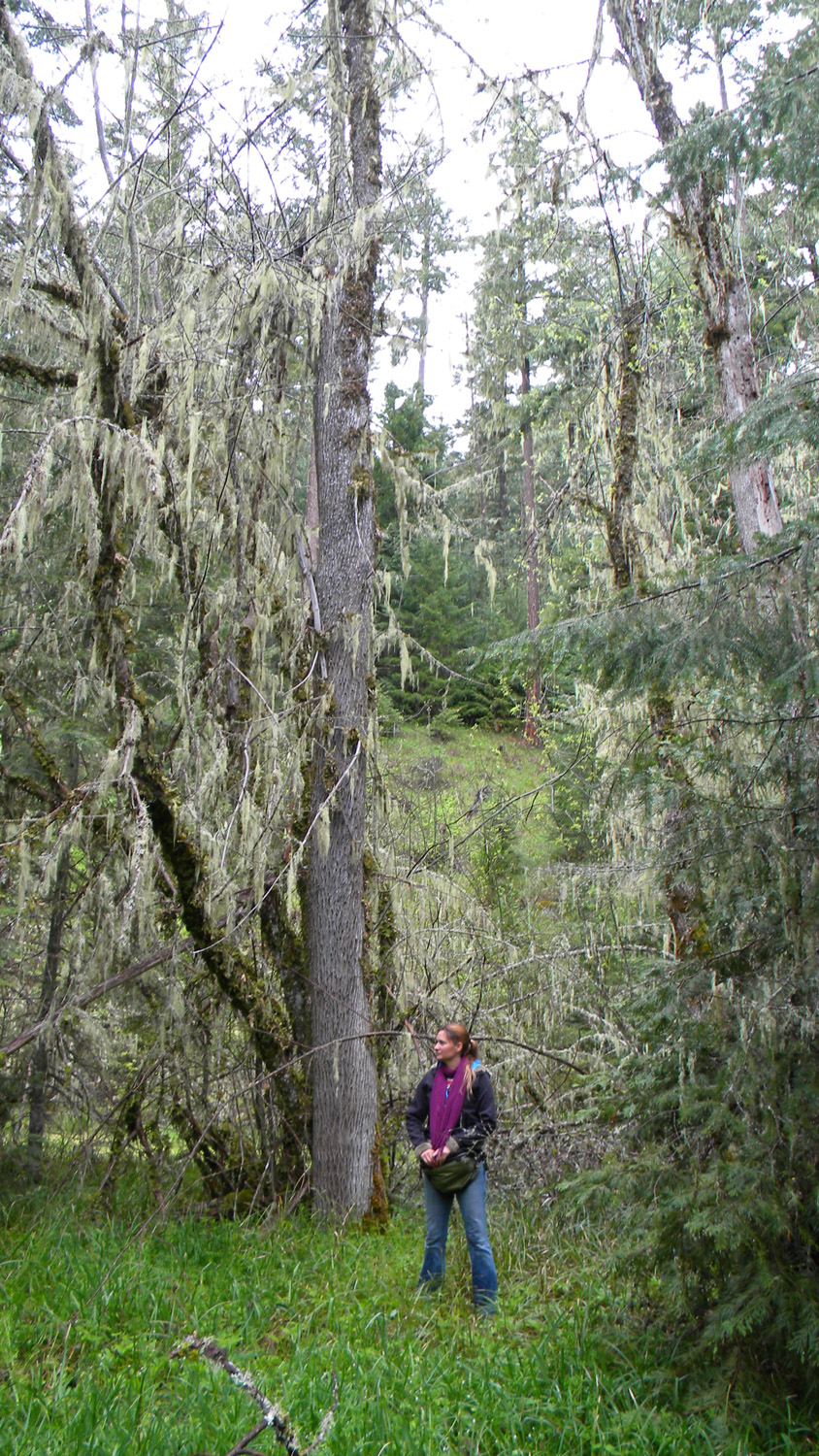
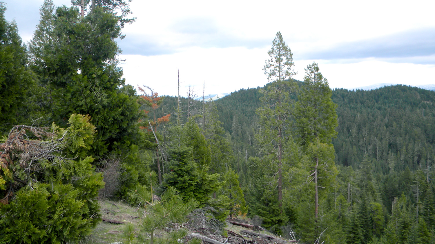
1989_Pickett_Butte |
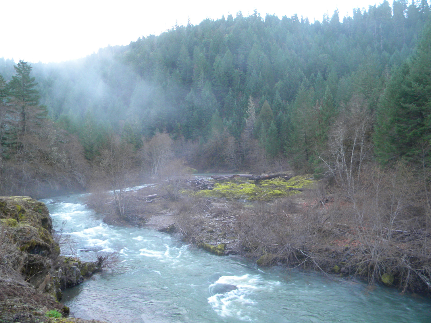
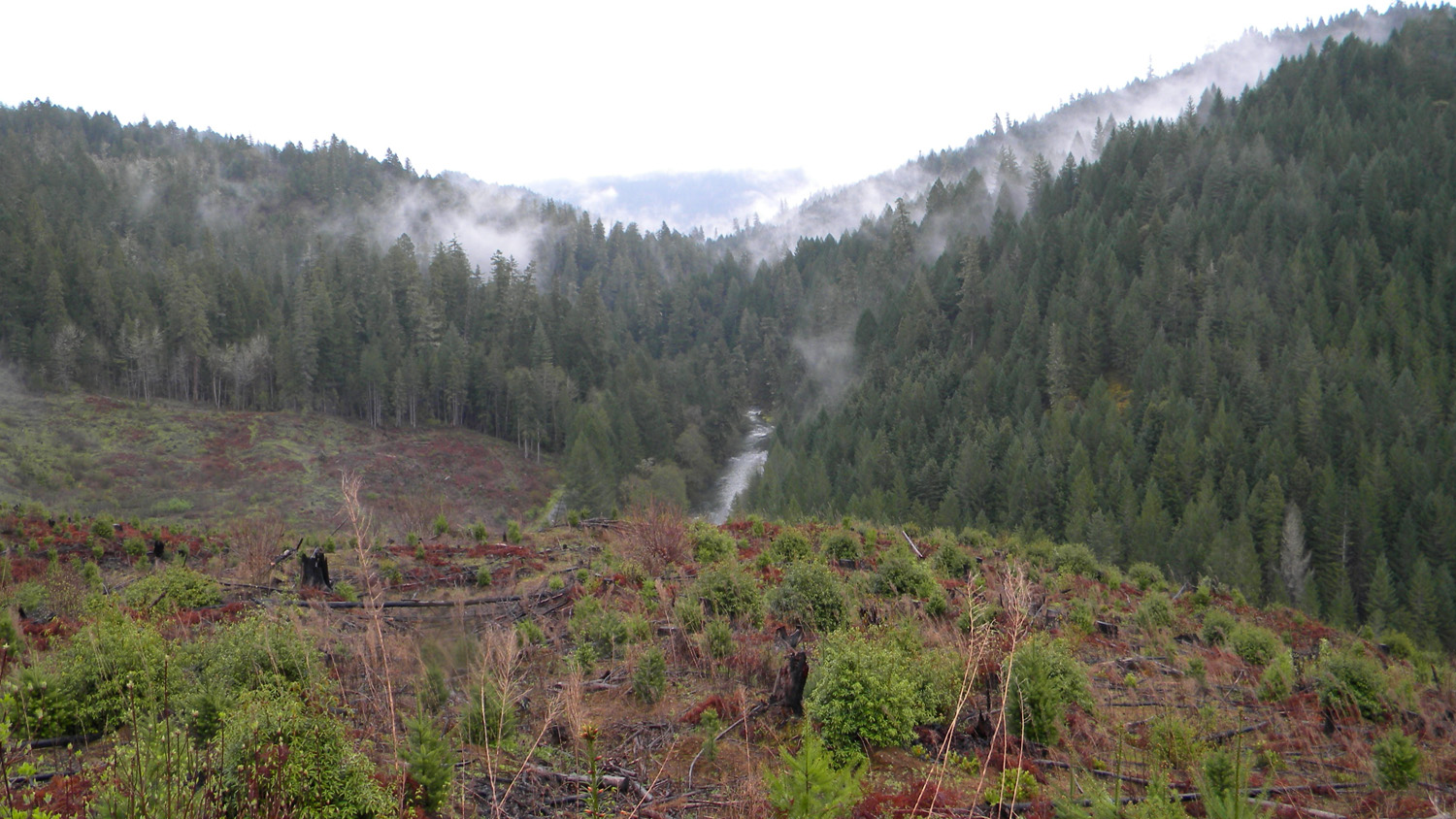
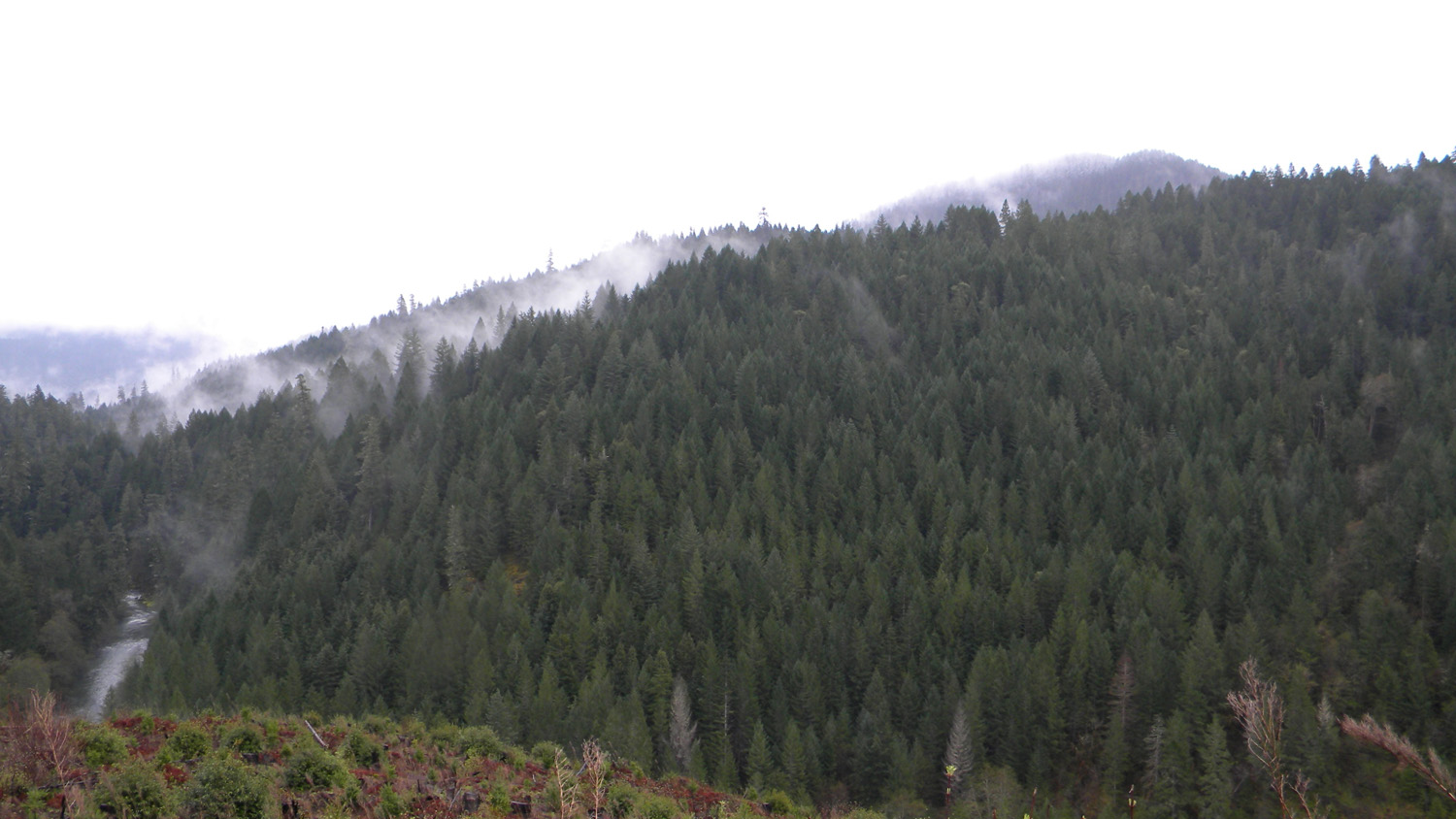
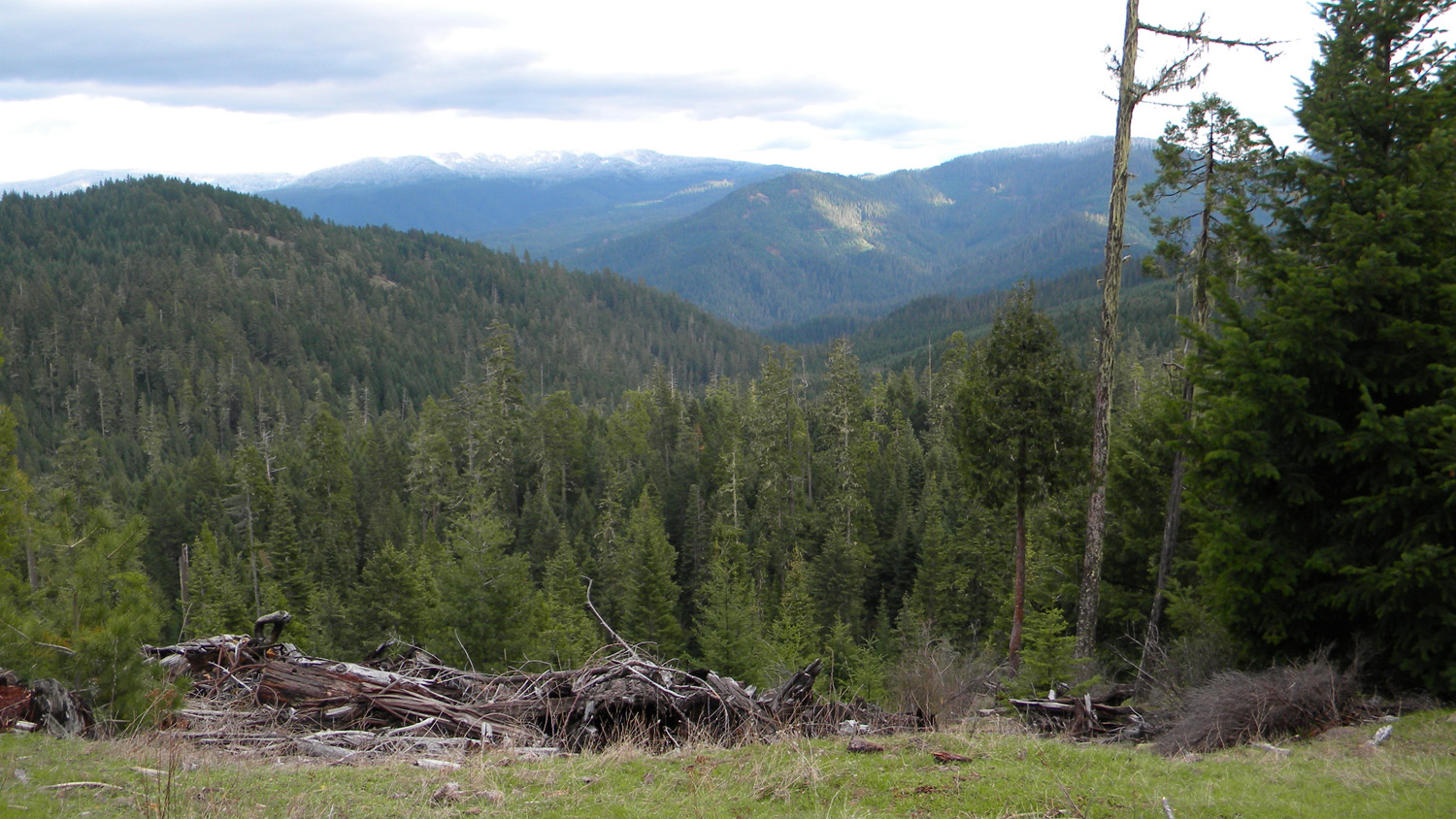
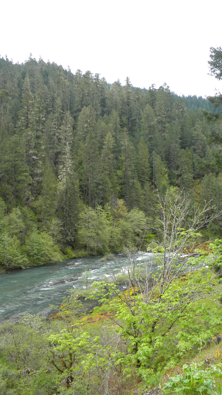
2033_South_Umpqua |
2034_South_Umpqua |
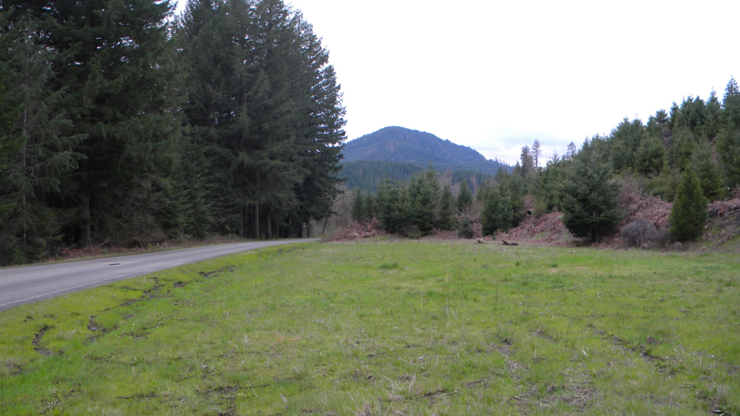
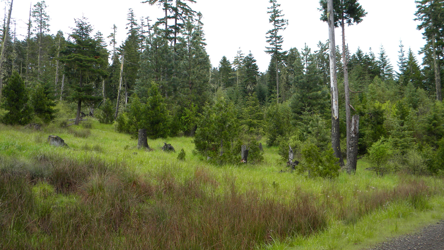
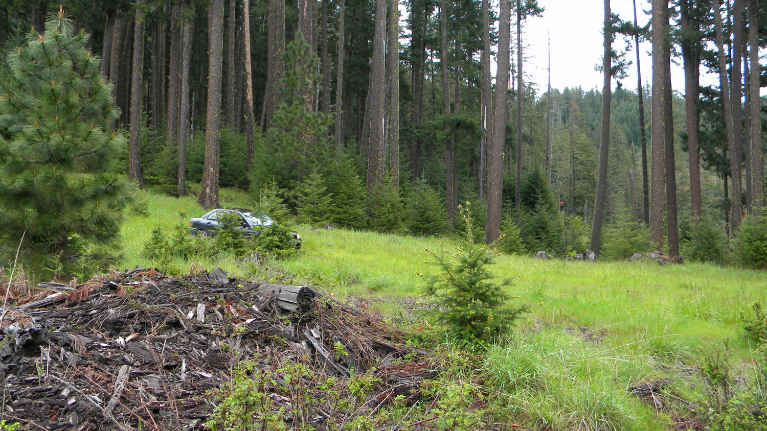
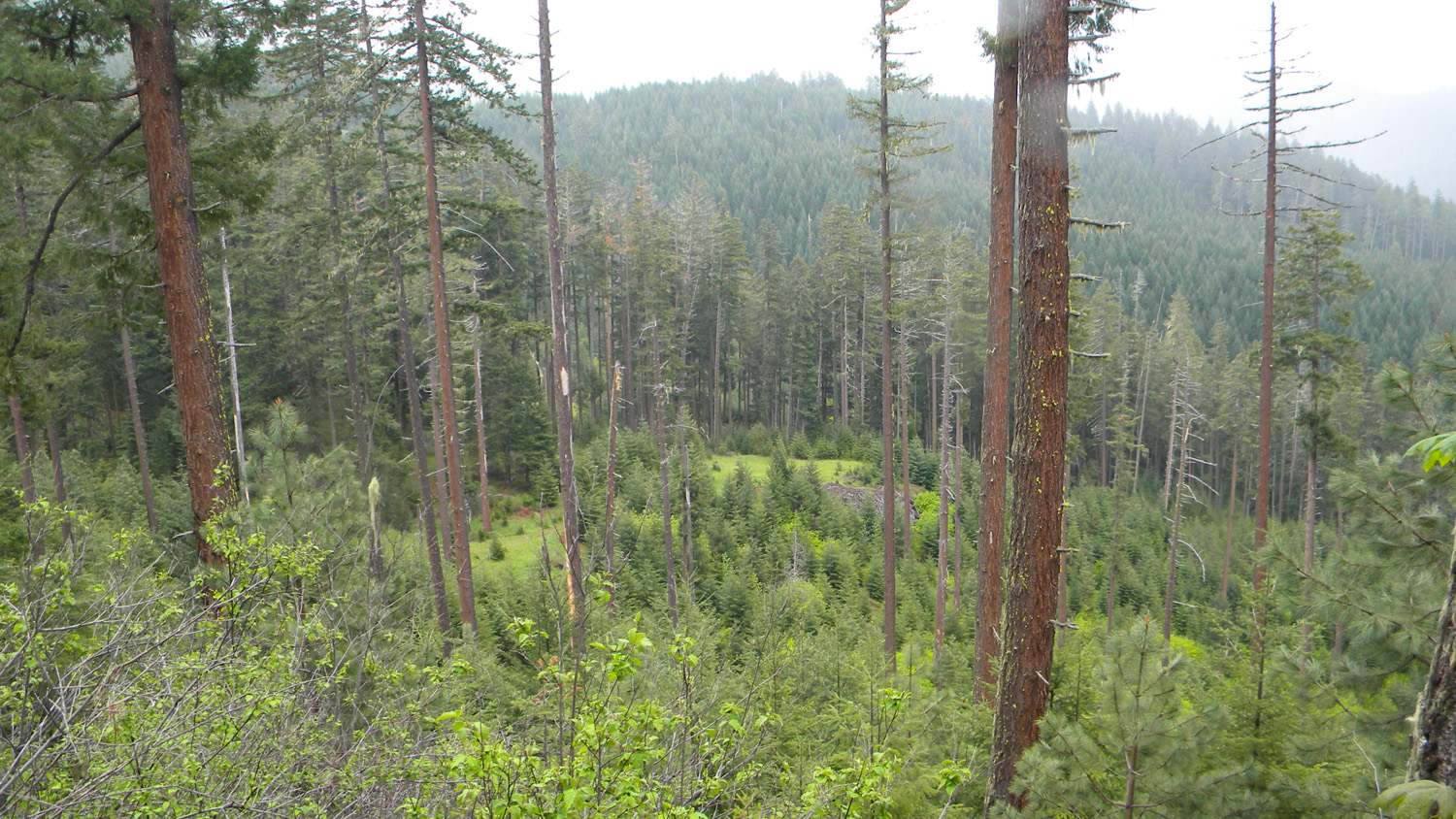
3458_30_Road_Meadow |
3459_30_Road_Meadow |
 |
 |
 |
 |
 |
3460_Nana_and_Gun |
3464_30_Road |
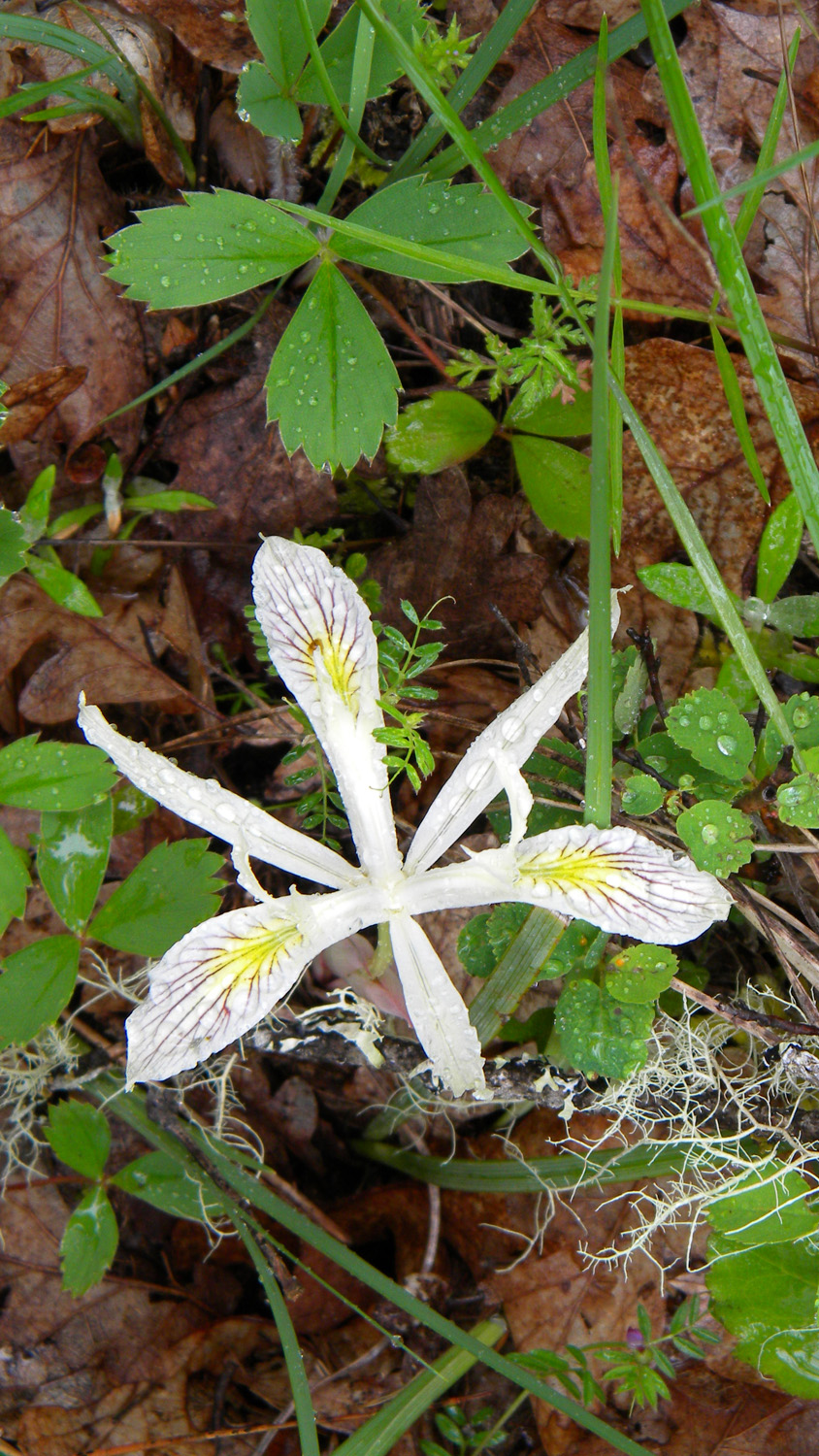
3465_White_Flag |
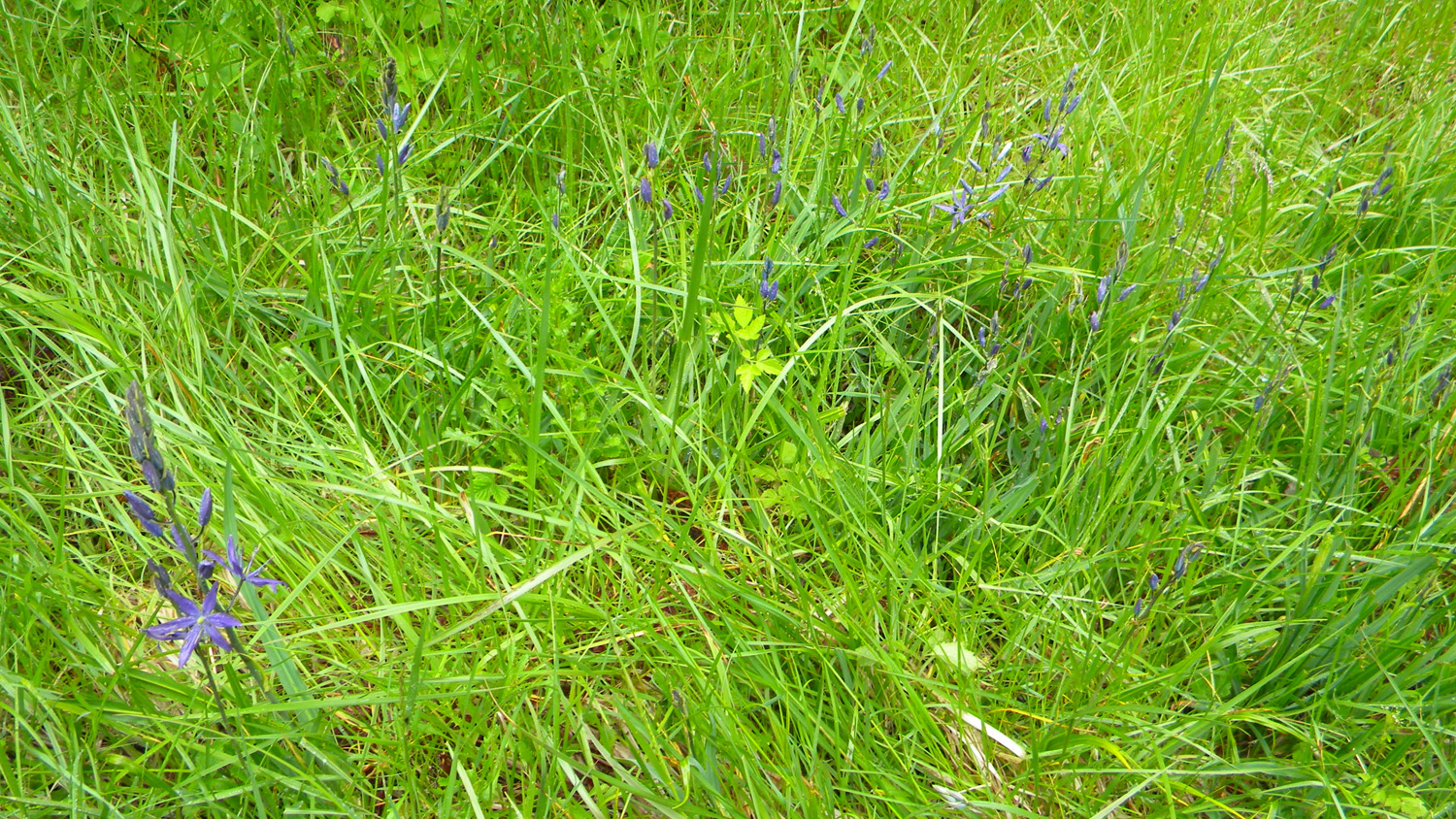
3466_Camas |
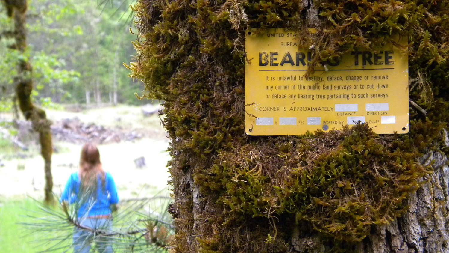
3467_Bearing_Tree |
 |
 |
 |
 |
 |
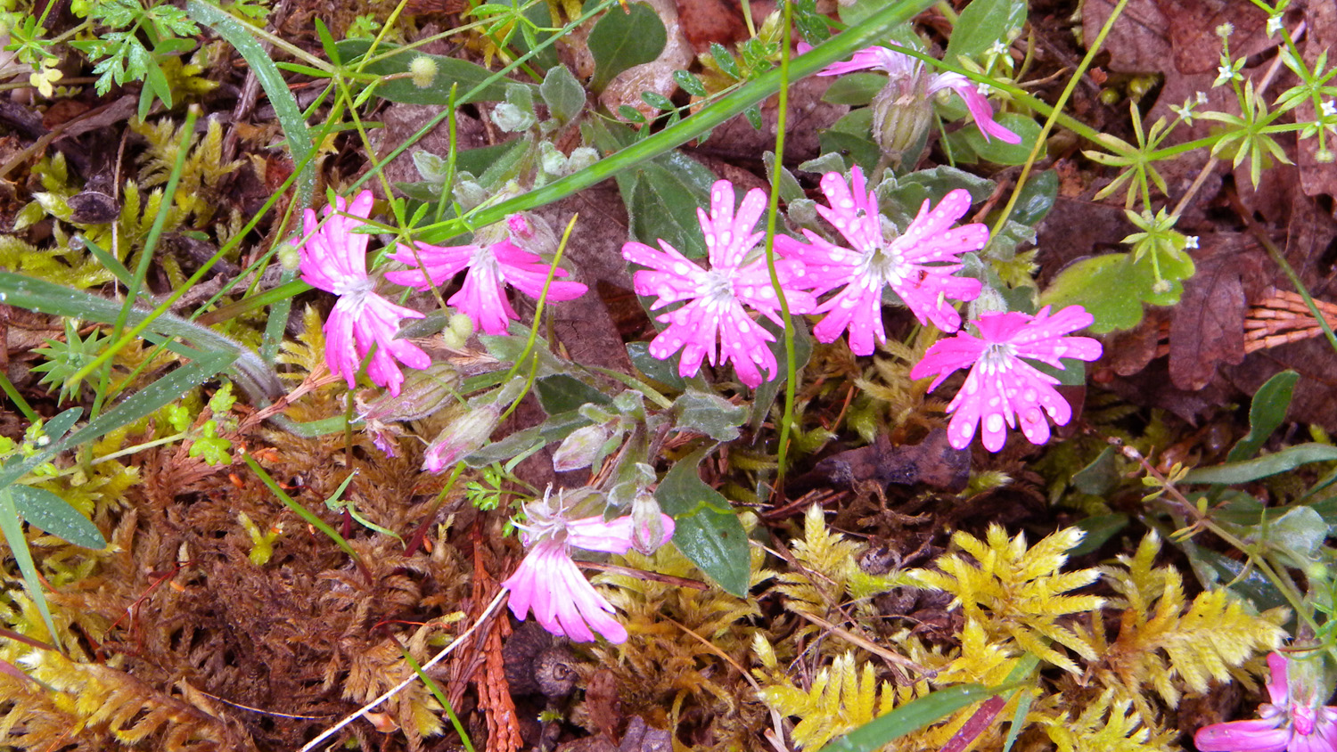
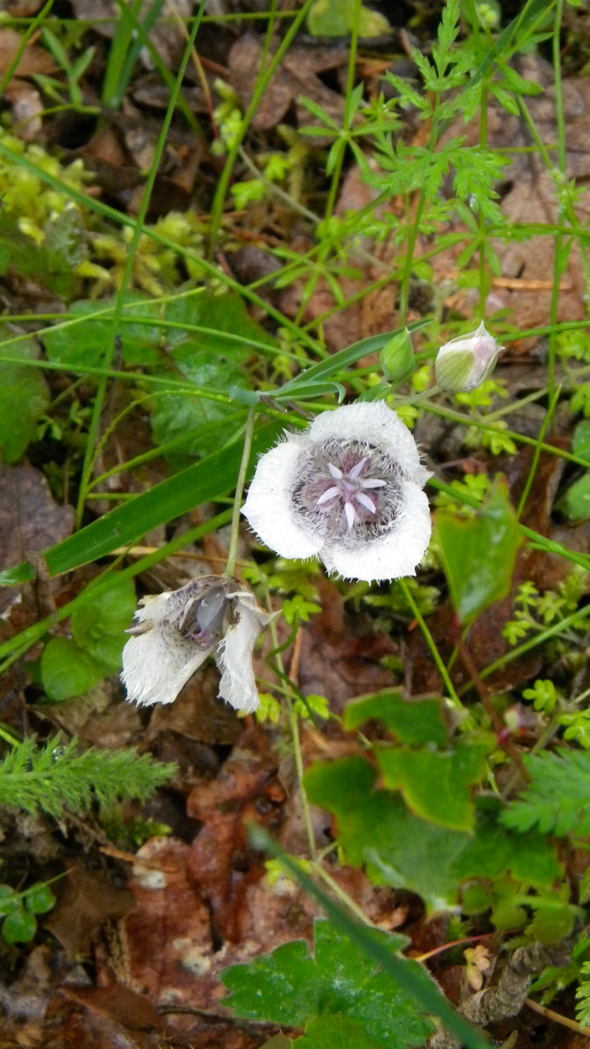
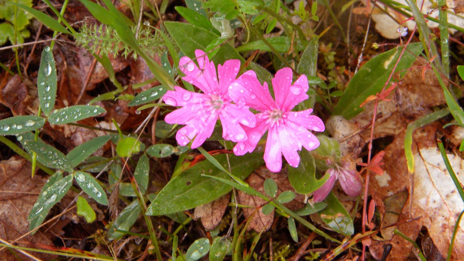
3468_Hooker's_Pink |
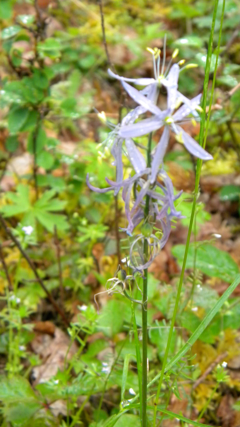
3469_Cats_Ears |
3491_Hooker's_Pink |
3492_Bearing_Tree |
3493_Oak |
 |
 |
 |
 |
 |
3494_Camas |
3495_32_Road_End |
3496_32_Road |
3497_32_Road |
3498_32_Road |
 |
 |
 |
 |
 |
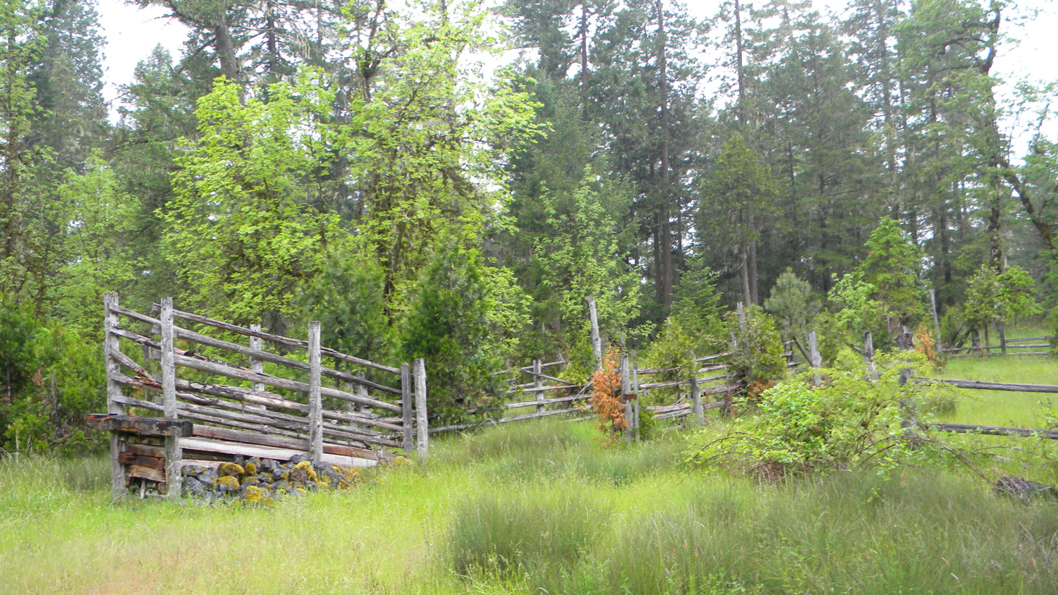
3499_3114_Road_Corral |
3500_3114_Loading_Ramp |
3501_100_Road_Blocked |
3502_100_Road_Blocked |
3503_295_Road |
 |
 |
 |
 |
 |
3504_290_Road_End |
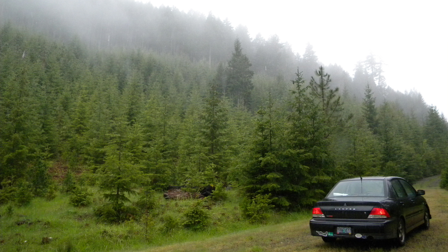
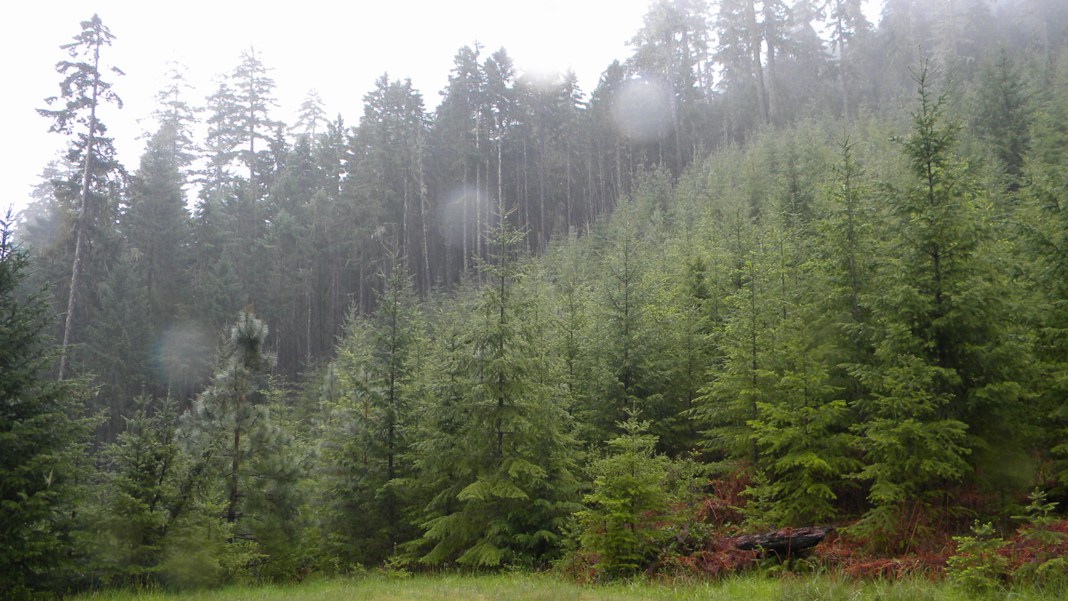
3505_Young_Reprod |
3506_290_Road_Camp |
3507_270_Road |
3508_Oak_Meadow |
 |
 |
 |
 |
 |
3509_270_Road_Blocked |
3510_3114_Road_Quarry |
3511_Oaks |
3512_Bunchgrass_Meadow |
3514_Bunchgrass_Meadow |
 |
 |
 |
 |
 |
3515_Tarweed |
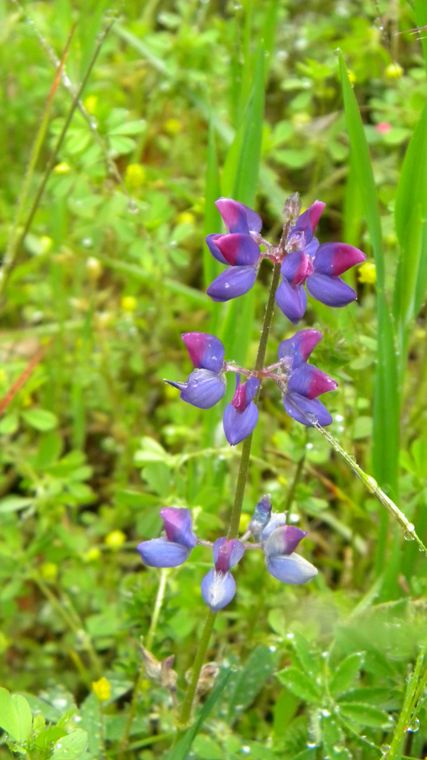
3516_Lupine |
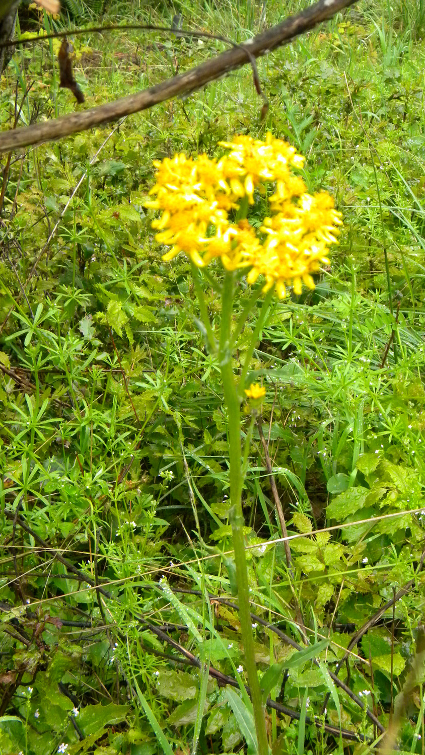
3517_Yellow_Flower |
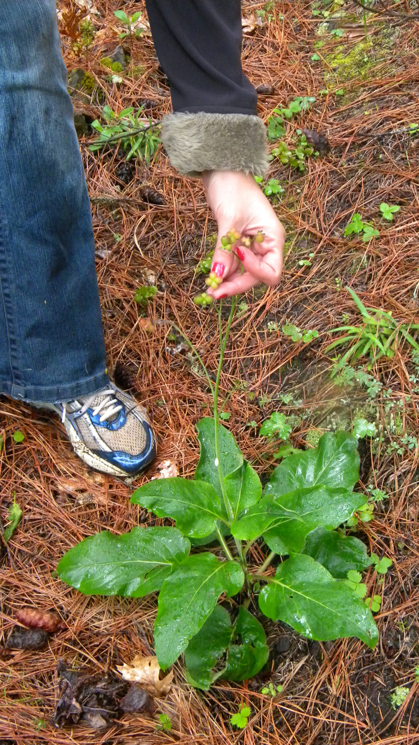
3518_Hounds_Tongue |
3519_Hounds_Tongue |
 |
 |
 |
 |
 |
3520_250_Road_End |
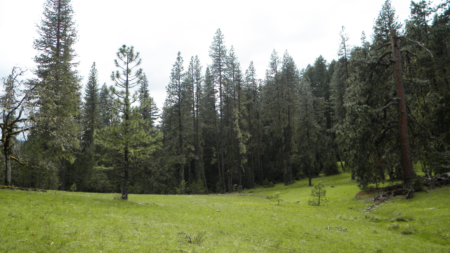
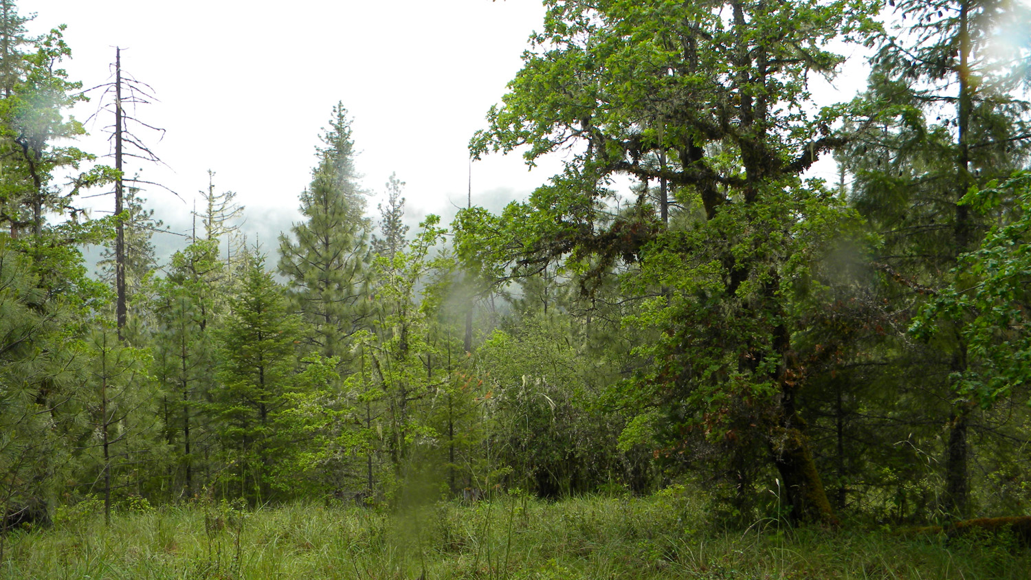
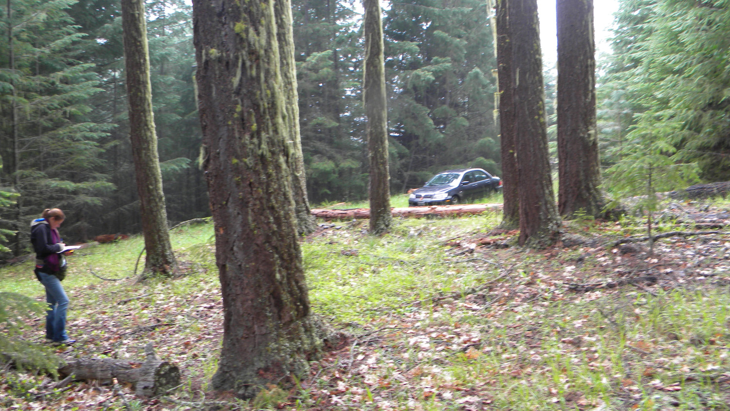
3521_Old_Growth |
3522_250_Road_End |
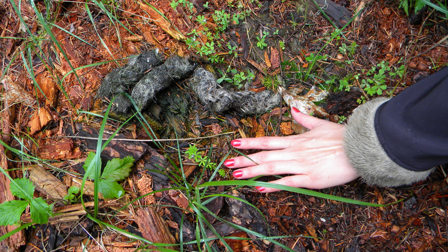
3523_Scat_and_Fur |
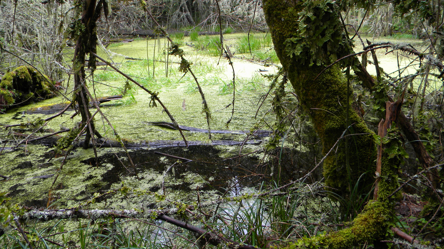
3524_Camas_Marsh |
 |
 |
 |
 |
 |
3525_Camas_Marsh |
3527_Oak |
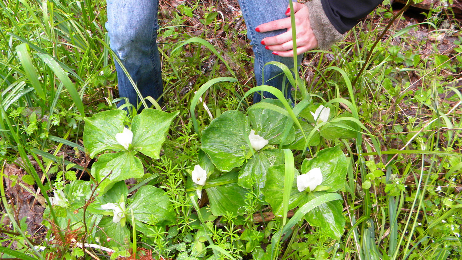
3528_Trillium |
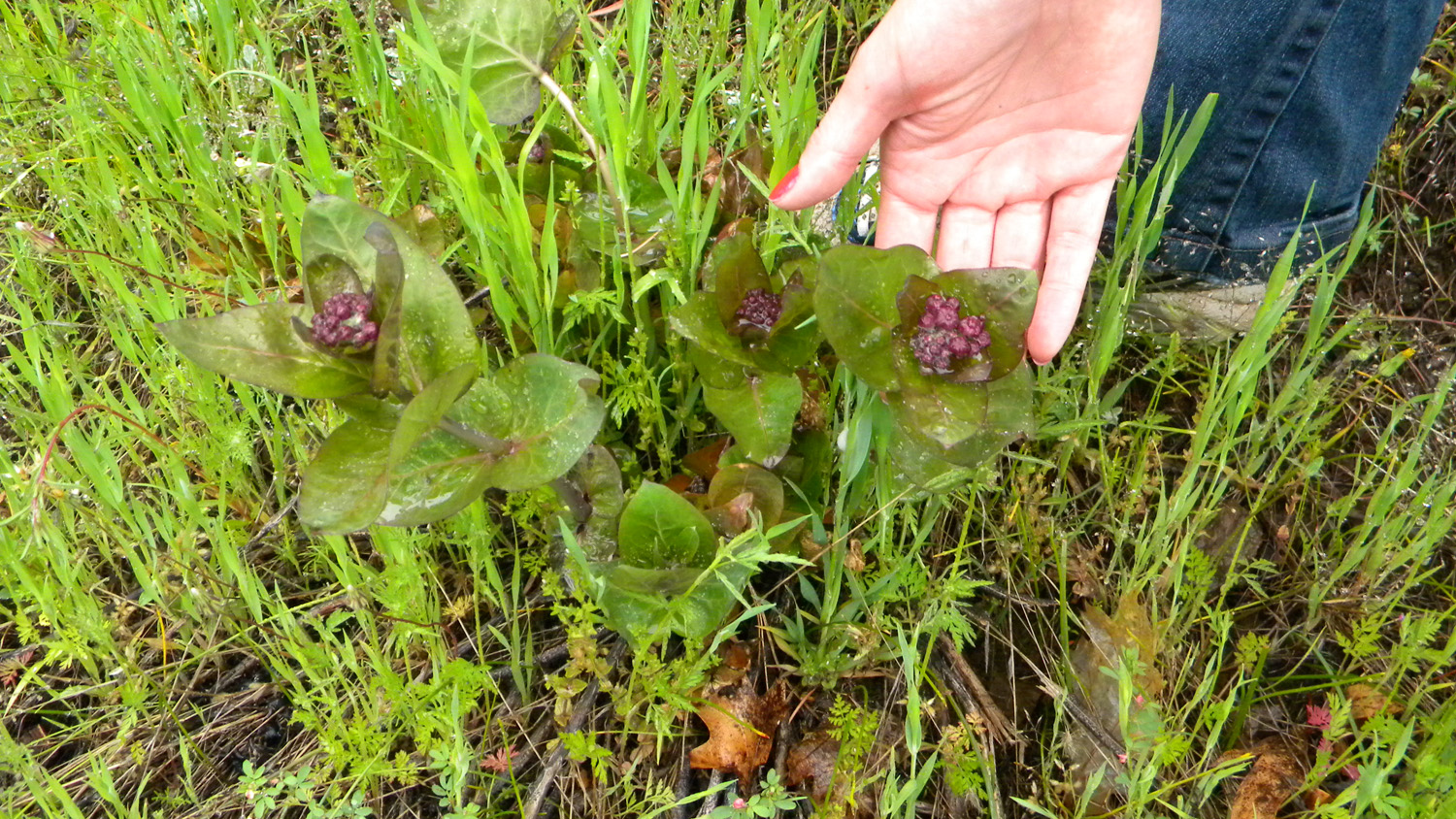
3530_Camas |
3531_3114_Road_Meadow |
 |
 |
 |
 |
 |
3532_3114_Road_Meadow |
3533_3114_Meadow |
3534_3114_Oak_Meadow |
3535_3114_Oak_Meadow |
3536_3114_Meadow |
 |
 |
 |
 |
 |
3537_215_Road_End |
3539_216_Road_Blocked |
3542_Willow |
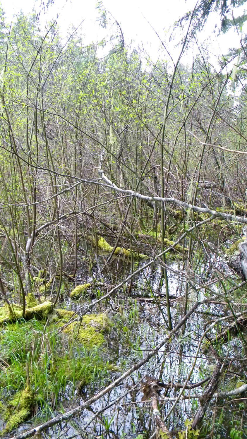
3543_Willow_Marsh |
3544_Willow_Marsh |
 |
 |
 |
 |
 |
3545_Willow_Marsh |
3561_451_Road_Meadow |
3583_452_Road_End |
3587_450_Road_View |
3588_450_Road_View |
 |
 |
 |
 |
 |
3589_450_Road_View |
3590_450_Road_Blocked |
3591_402_Road_Blocked |
3592_401_Road_Blocked |
3593_298_Road_End |
 |
 |
 |
 |
|
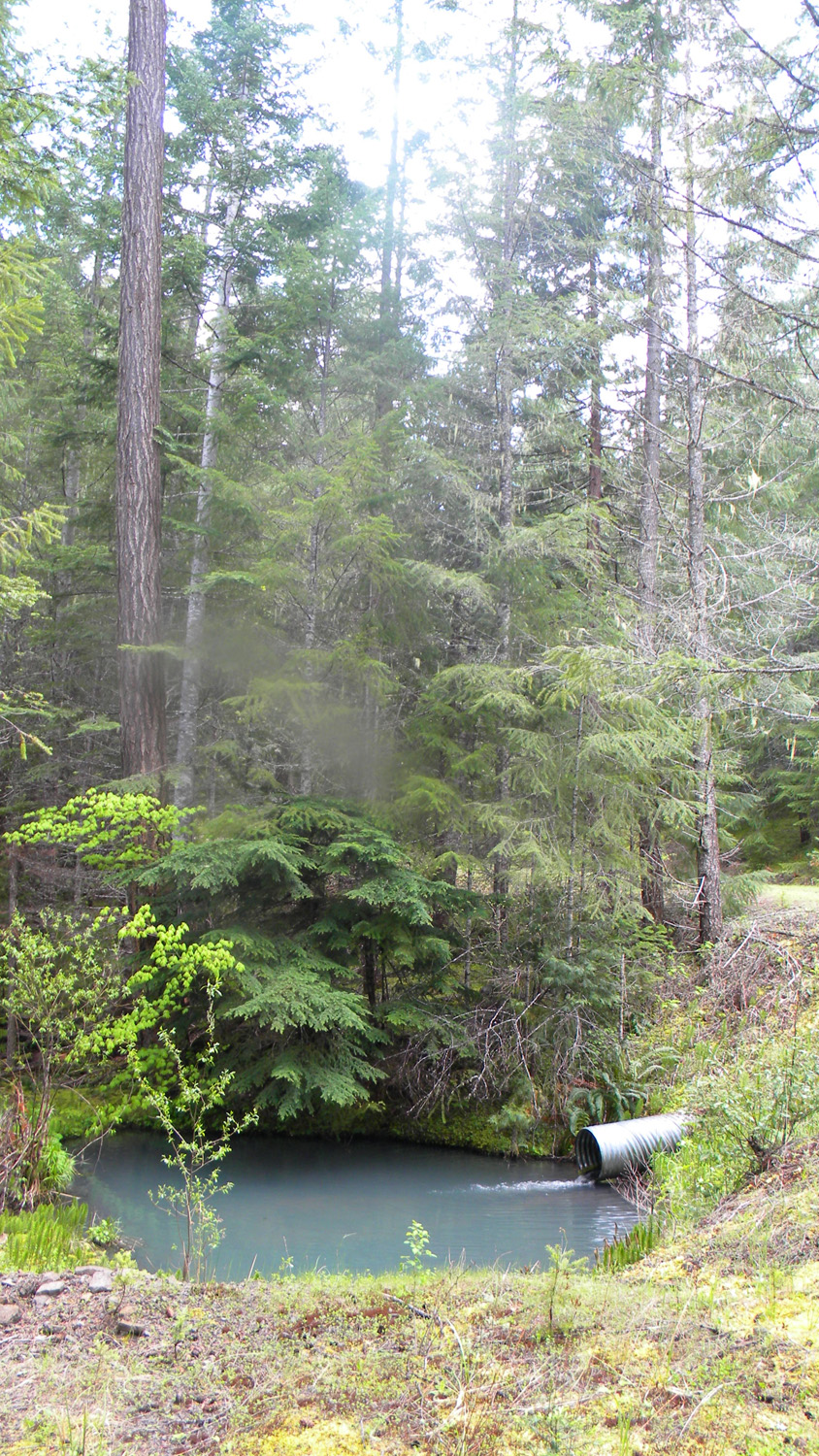
3594_298_Road_Culvert |
3595_300_Road_Blocked |
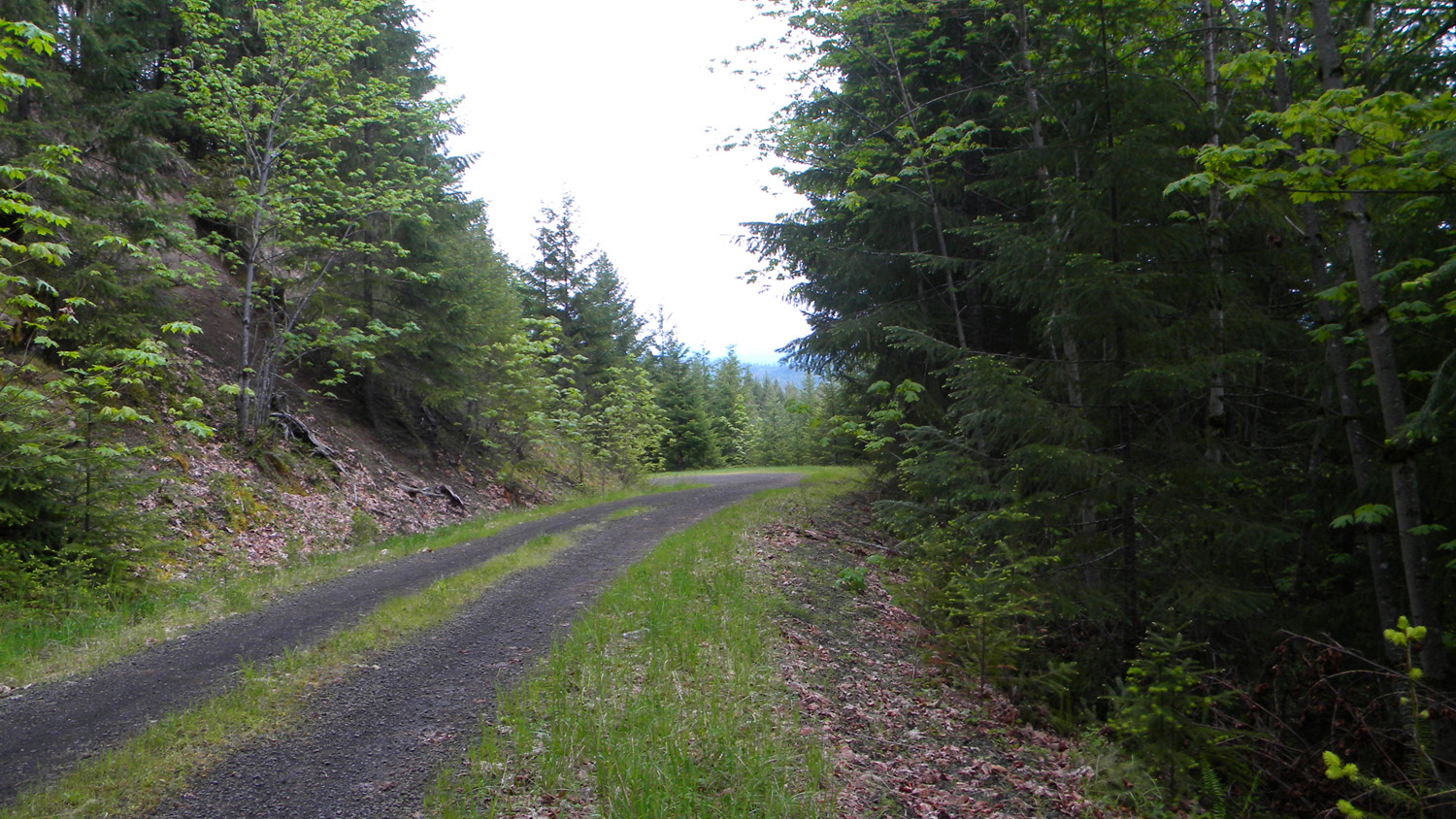
4045_480_Road_End |
4046_480_Road_End |
![]()
© 2010, 2020 Oregon Websites & Watersheds Project, Inc. & NW Maps Co.