Upper South Umpqua Headwaters Precontact Reference Study
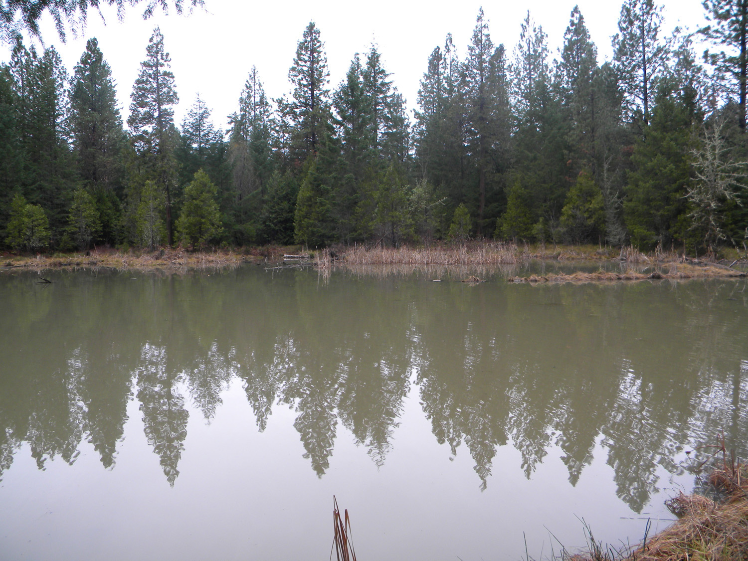
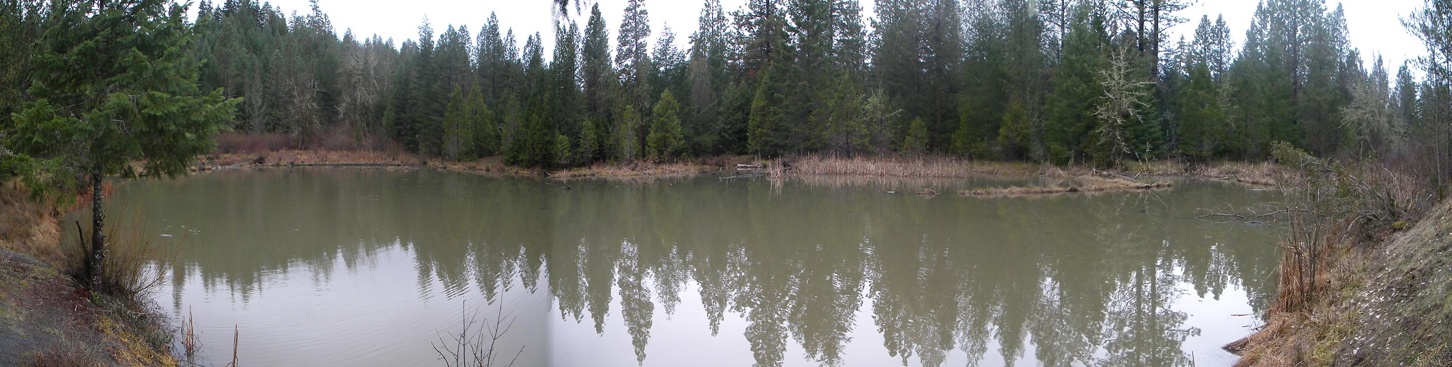
Beaver Lake
Beaver Lake, South Umpqua River, Douglas County, Oregon, July 14, 2010 (B. Zybach).
Beaver Lake Area of Special Interest is located
within the Jackson Creek subbasin of the South
Umpqua River drainage in Tsp. 30 S., Rng. 1 W.
This page includes specific maps
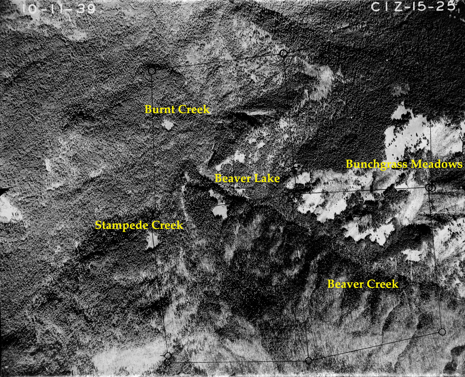
and aerial photographs of Beaver Lake, panoramas
and QTVR video files constructed from the
2010 field research studies, and individual historical
and 2010 documentary photographs showing current
condtions, native plants and animals, and other points of interest related
to this study area. Panoramas and QTVRs
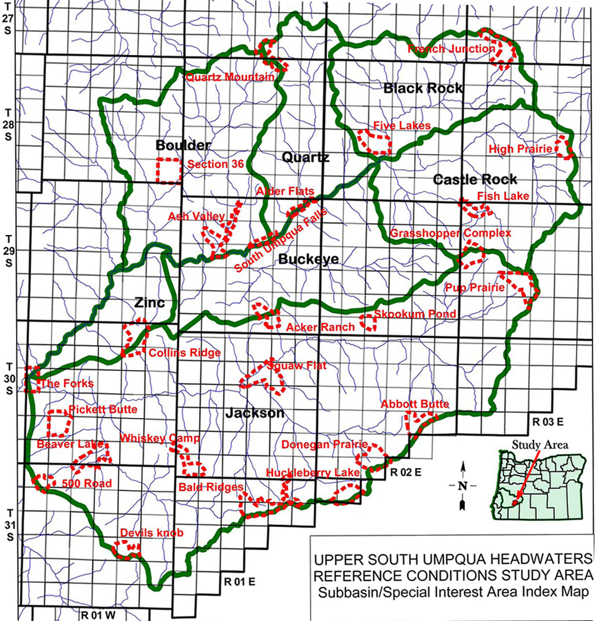

Subbasin Index Map
Tsp. 30 S., Rng. 1 W.
October 11, 1939
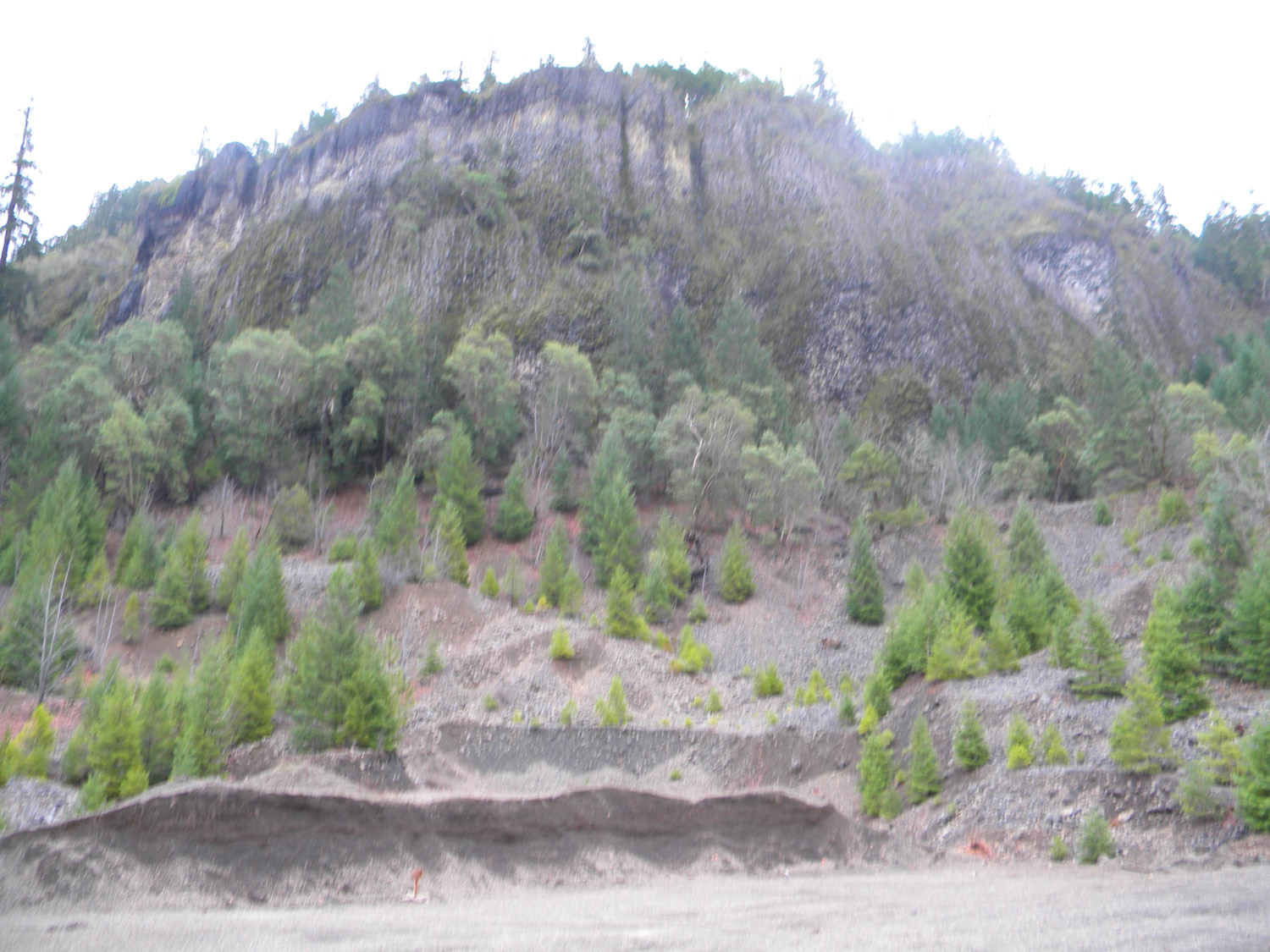
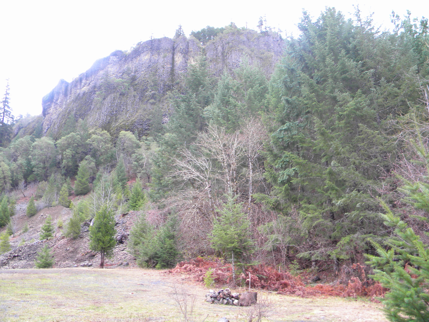
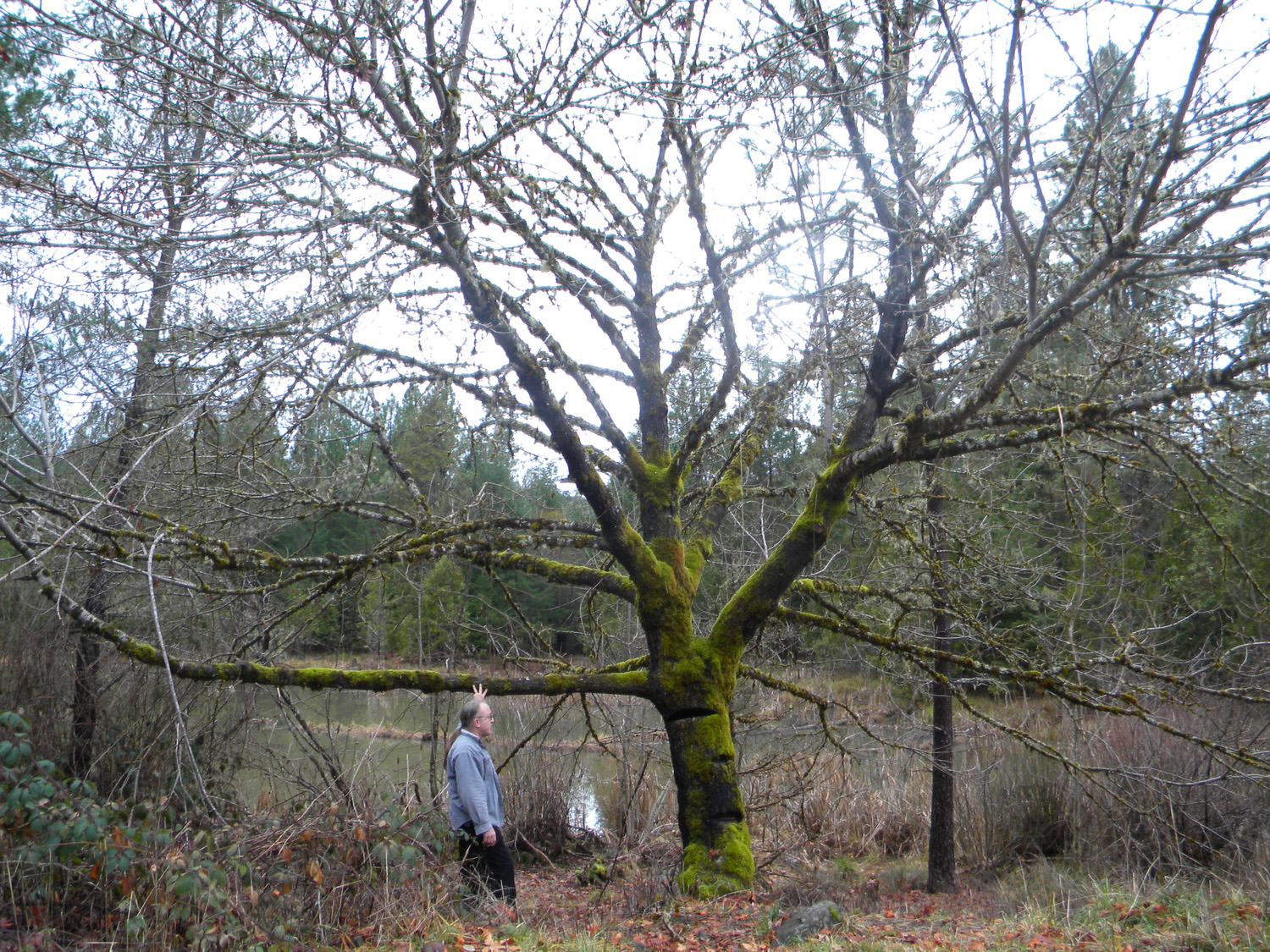
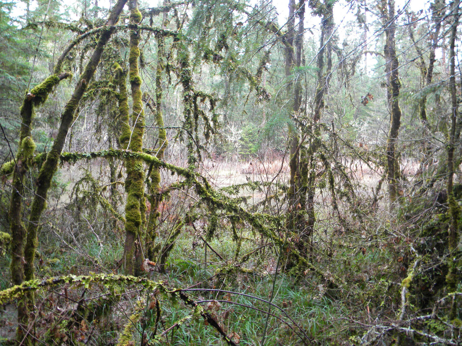
0466_Blue_Bluff0470_Blue_Bluff_Camp0471_Maple0472_Pond