Upper South Umpqua Headwaters Precontact Reference Study
Tsp. 28 S., Rng. 1 W.
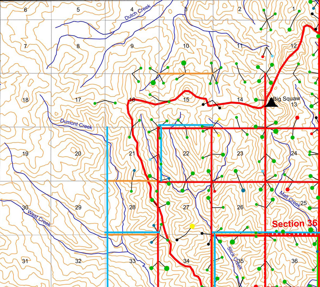
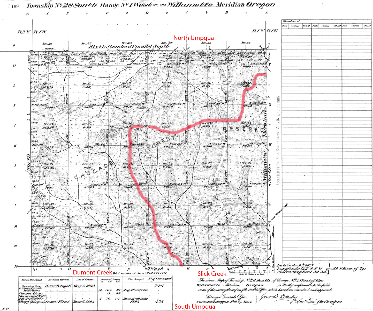
The first GLO survey of Tsp. 28 S., Rng. 1 W., was in 1883 (Flint 1883) followed by a second external line in 1902 (Angell 1902). Here are the typed survey notes for theses surveys and for subsequent subdivisions Original Land Survey Notes.
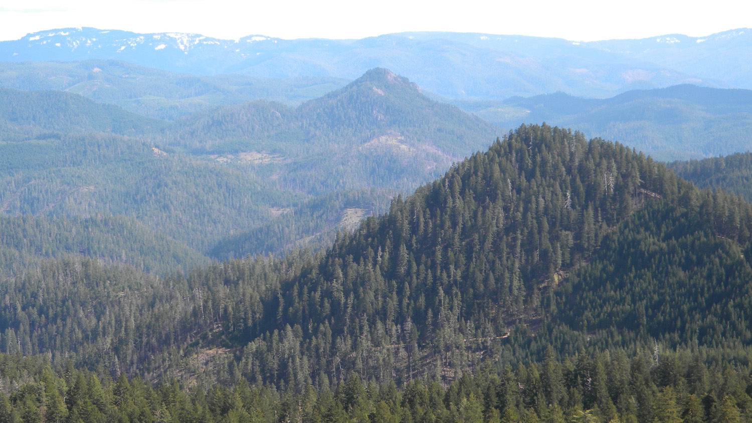
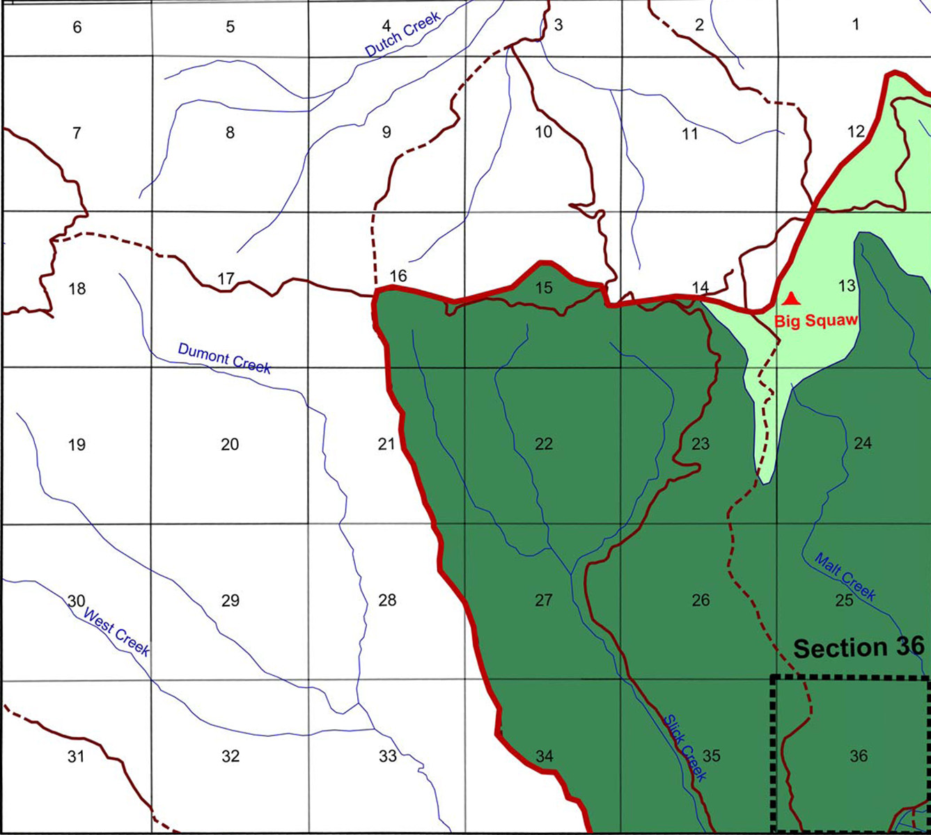
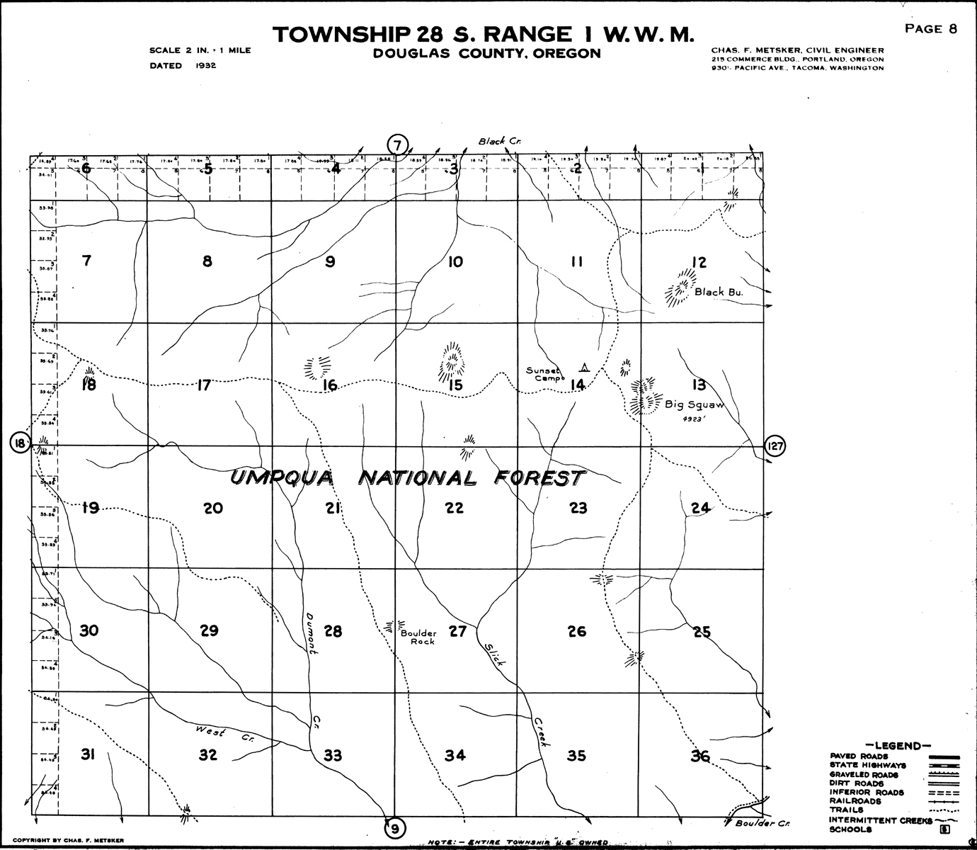
This township is partly located in the Upper
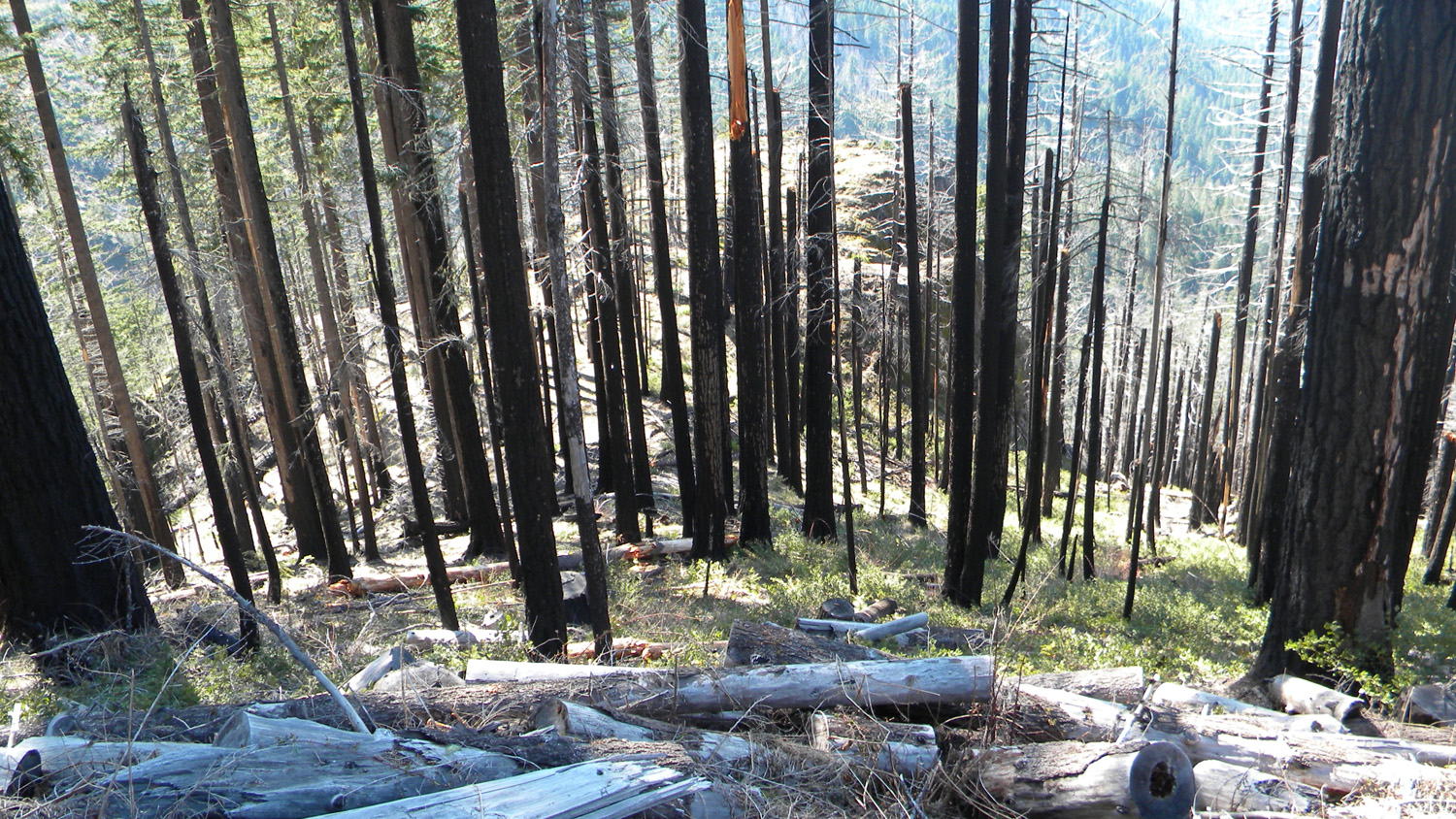
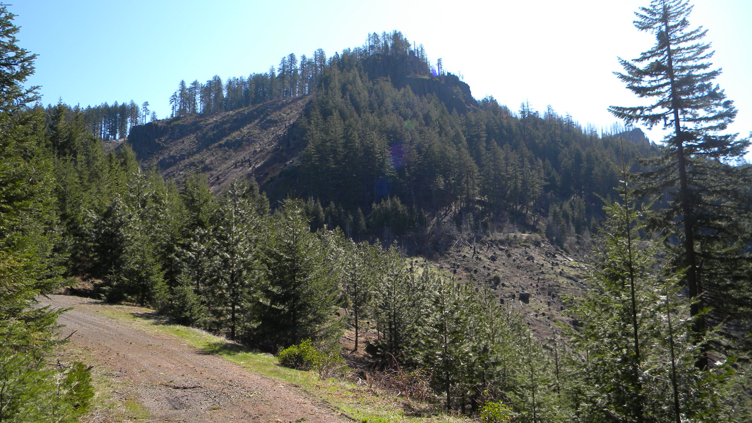
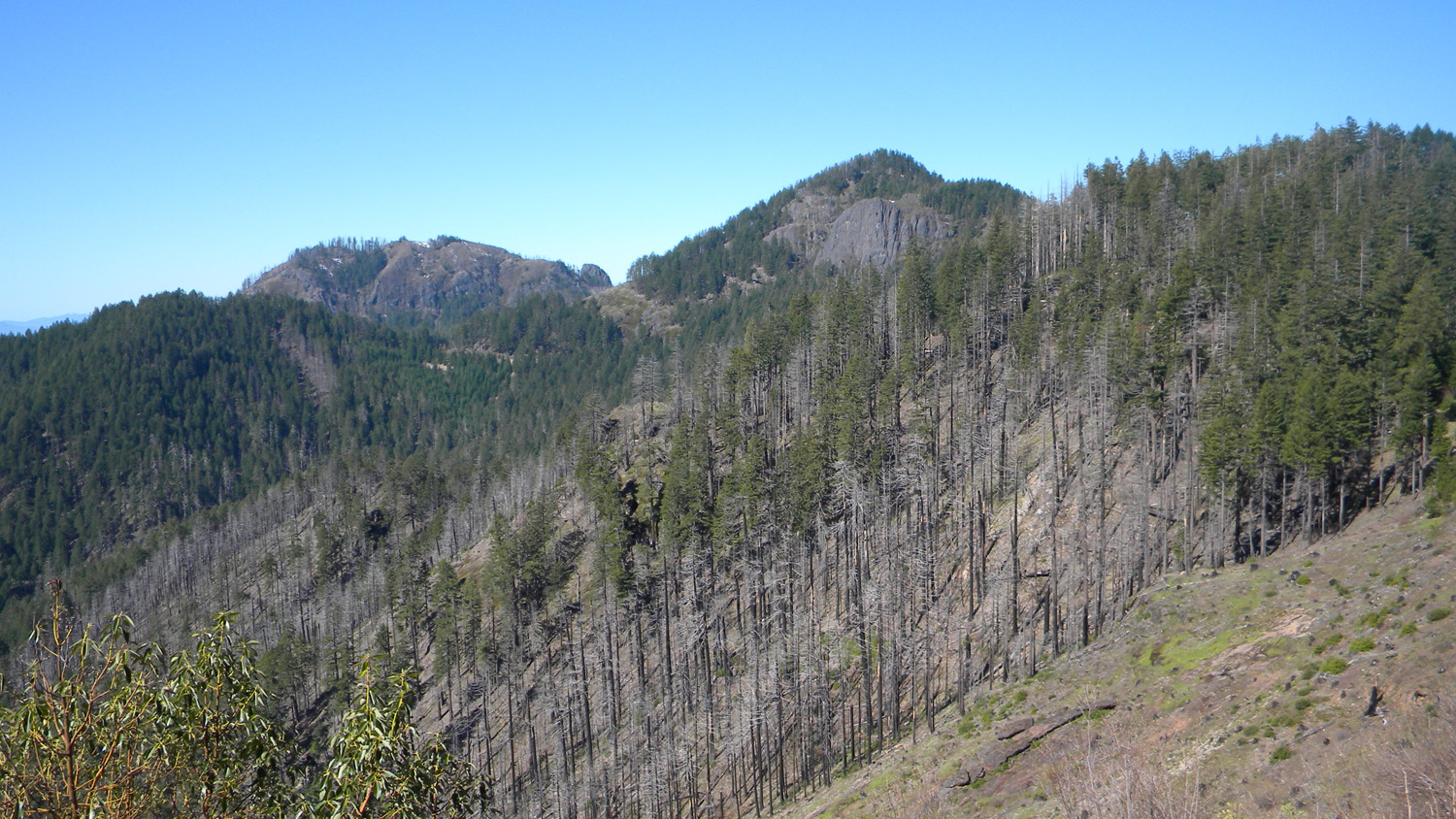
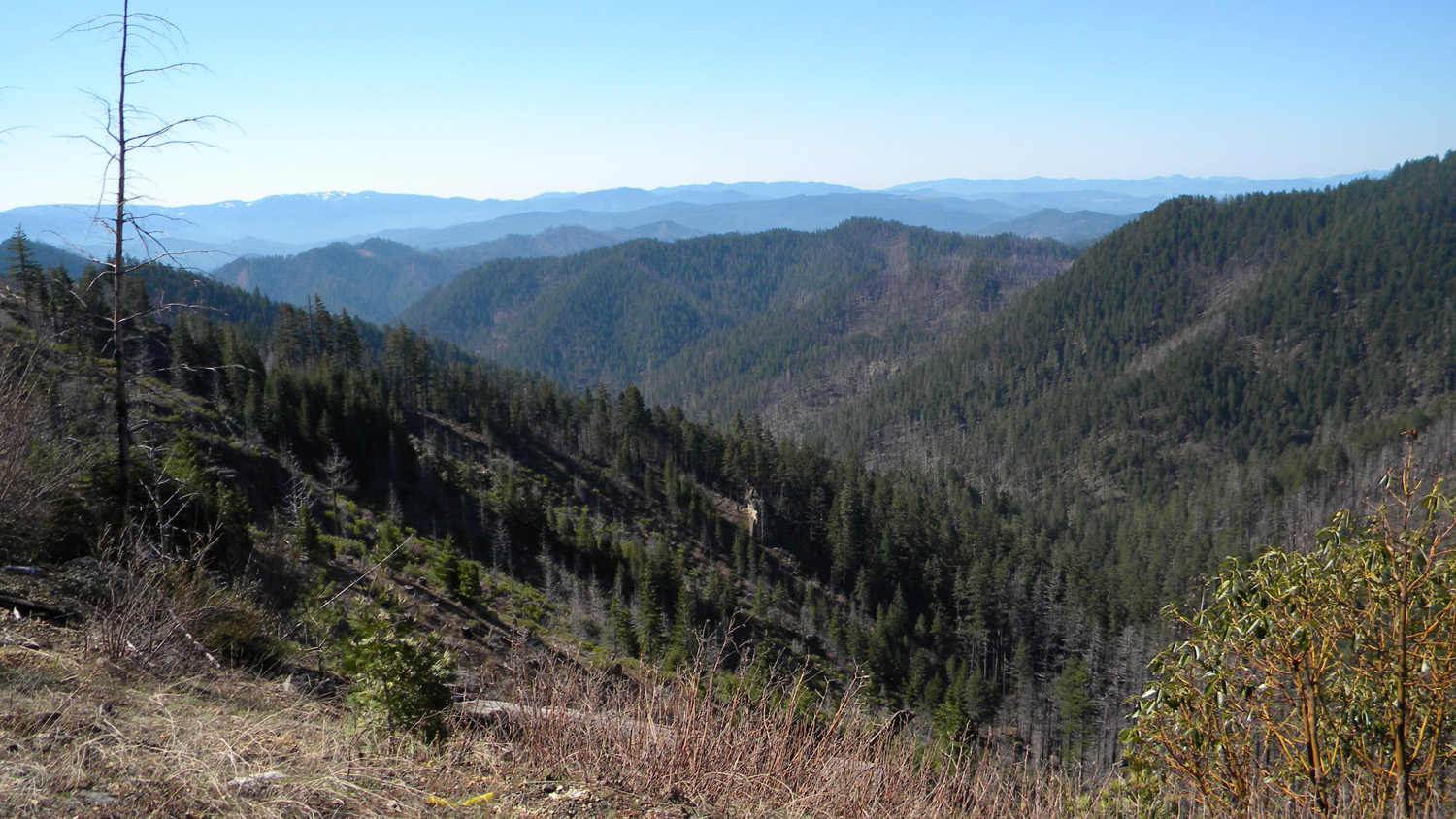
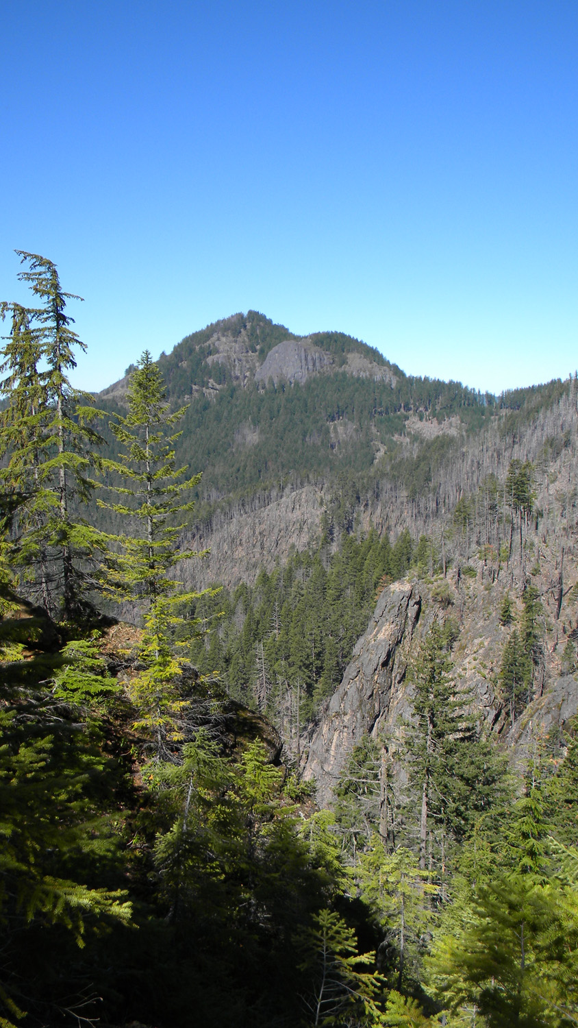
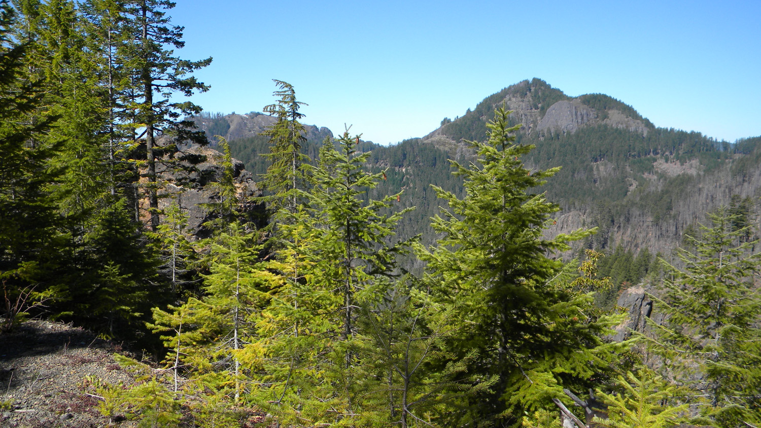
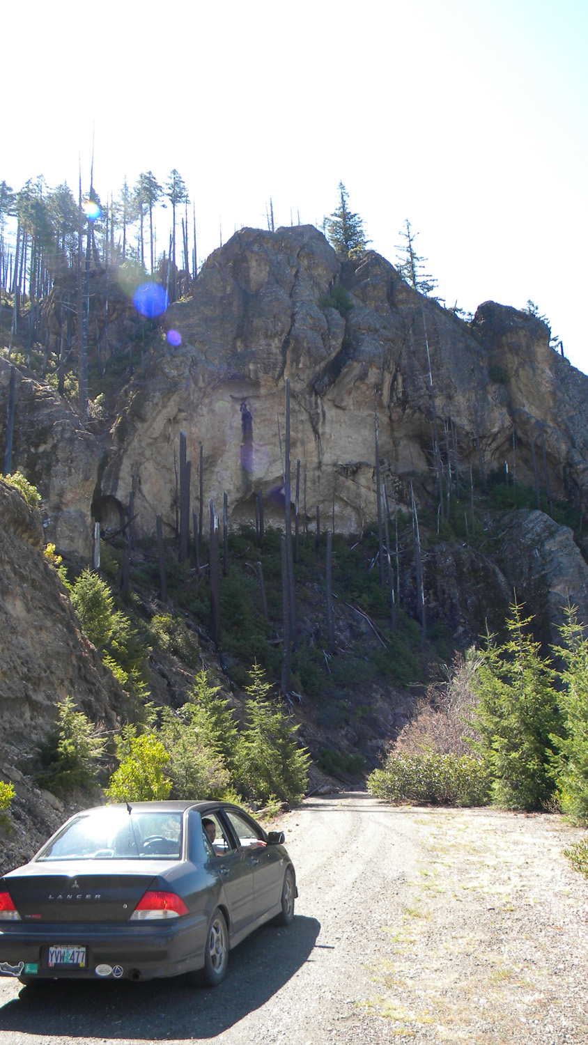
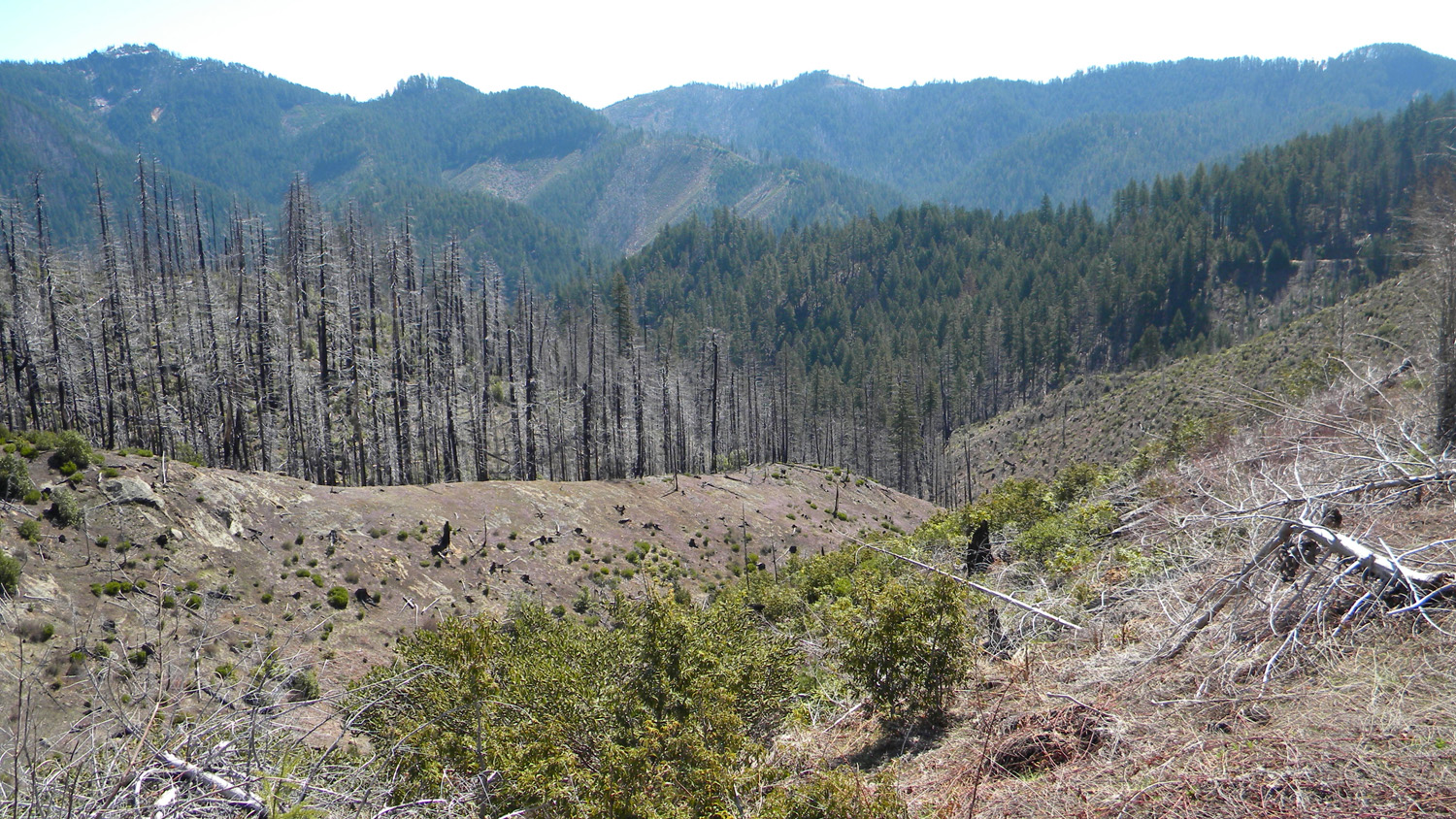
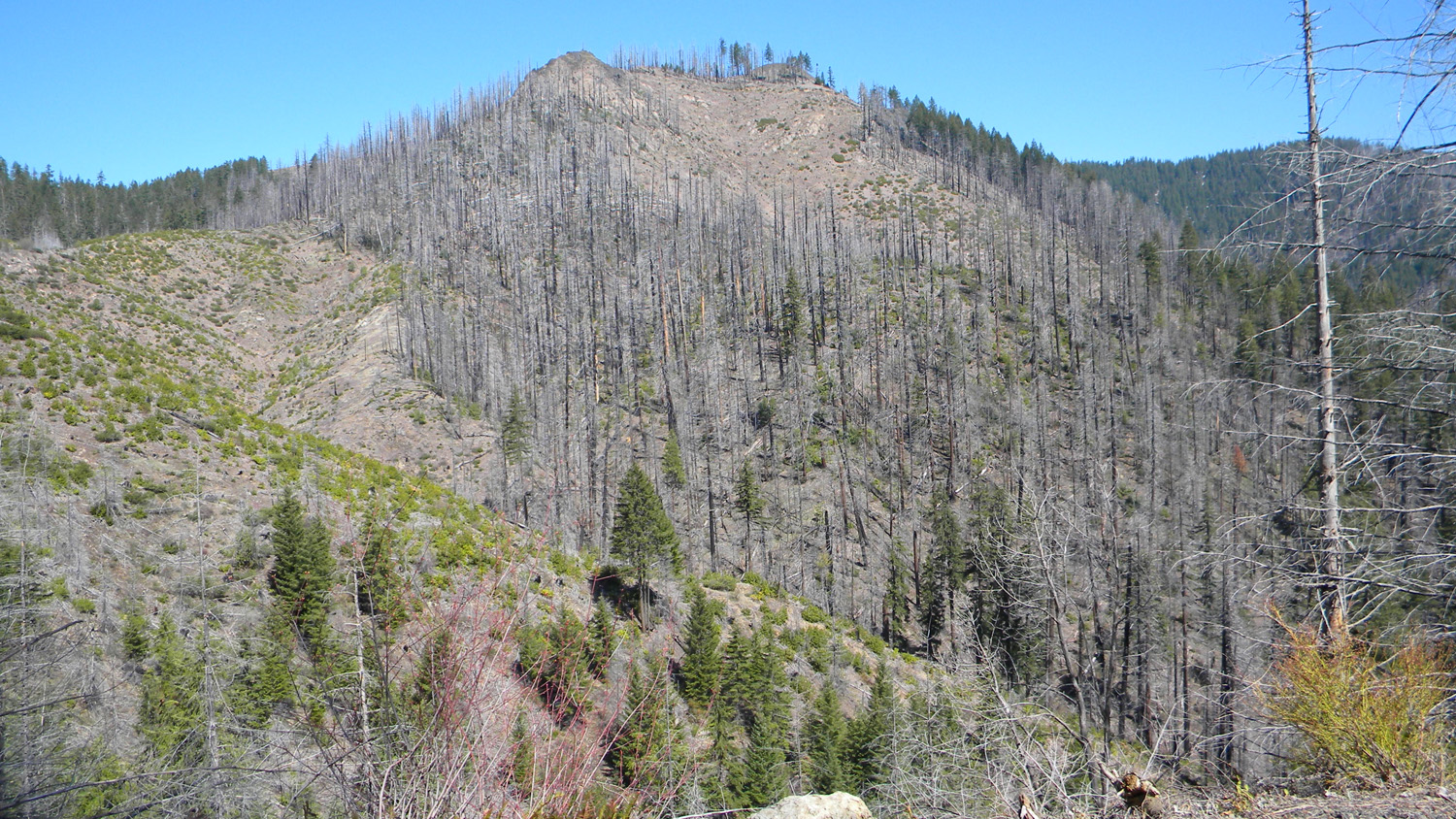
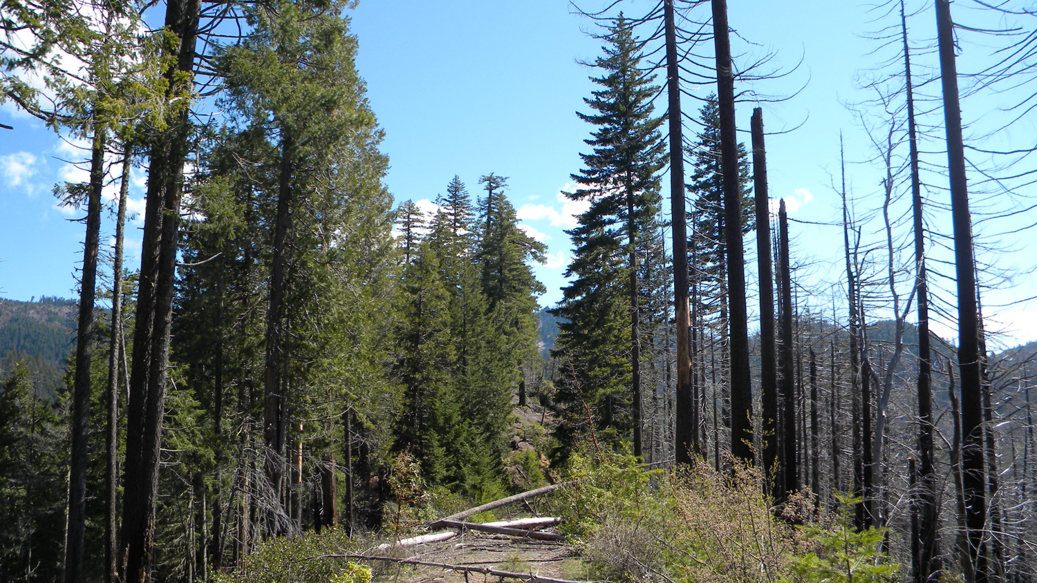
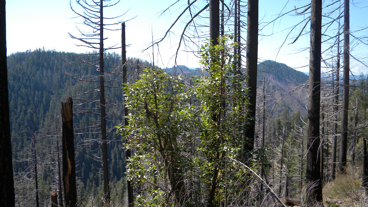
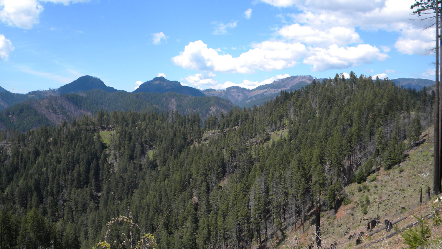
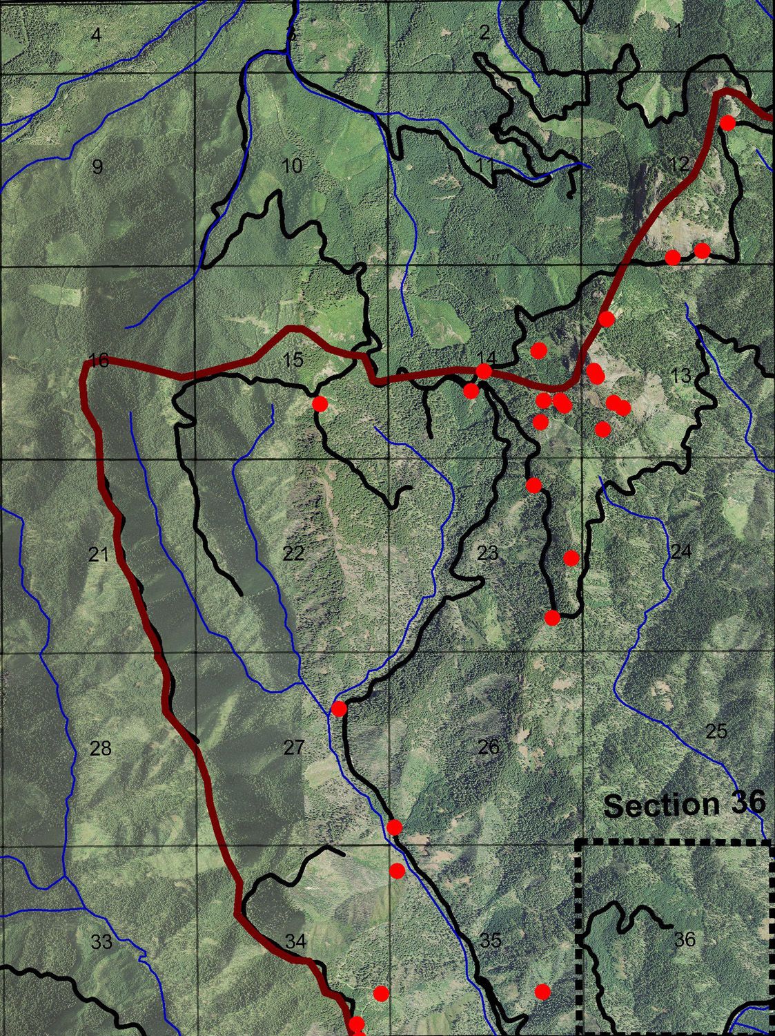
South Umpqua Headwaters Precontact Reference Study in the Boulder Creek subbasin. It contains the Big Squaw Mountain Lookout and the Section 36 Area of the study's Areas of Special Interest.
This page includes specific maps
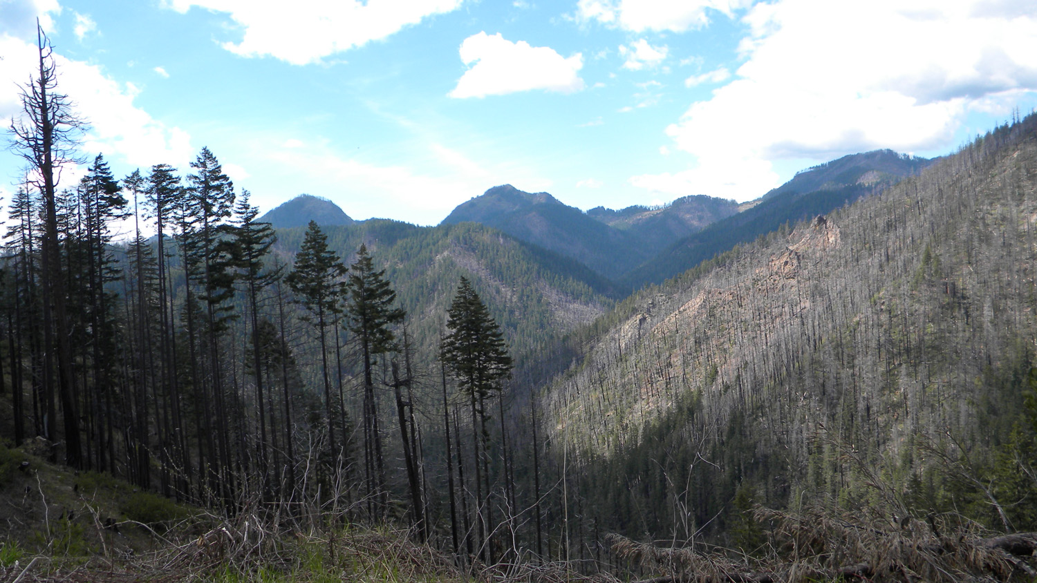
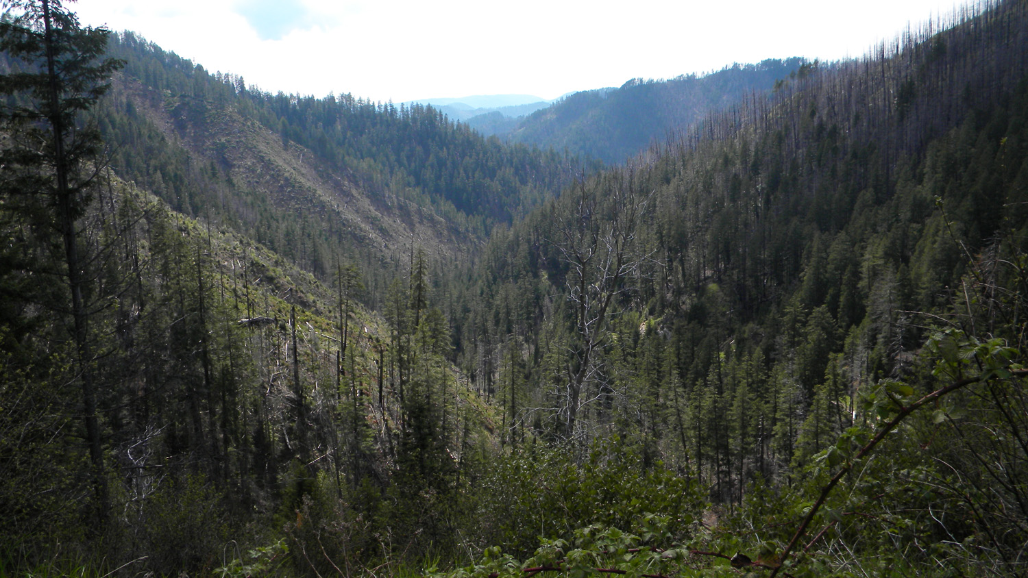
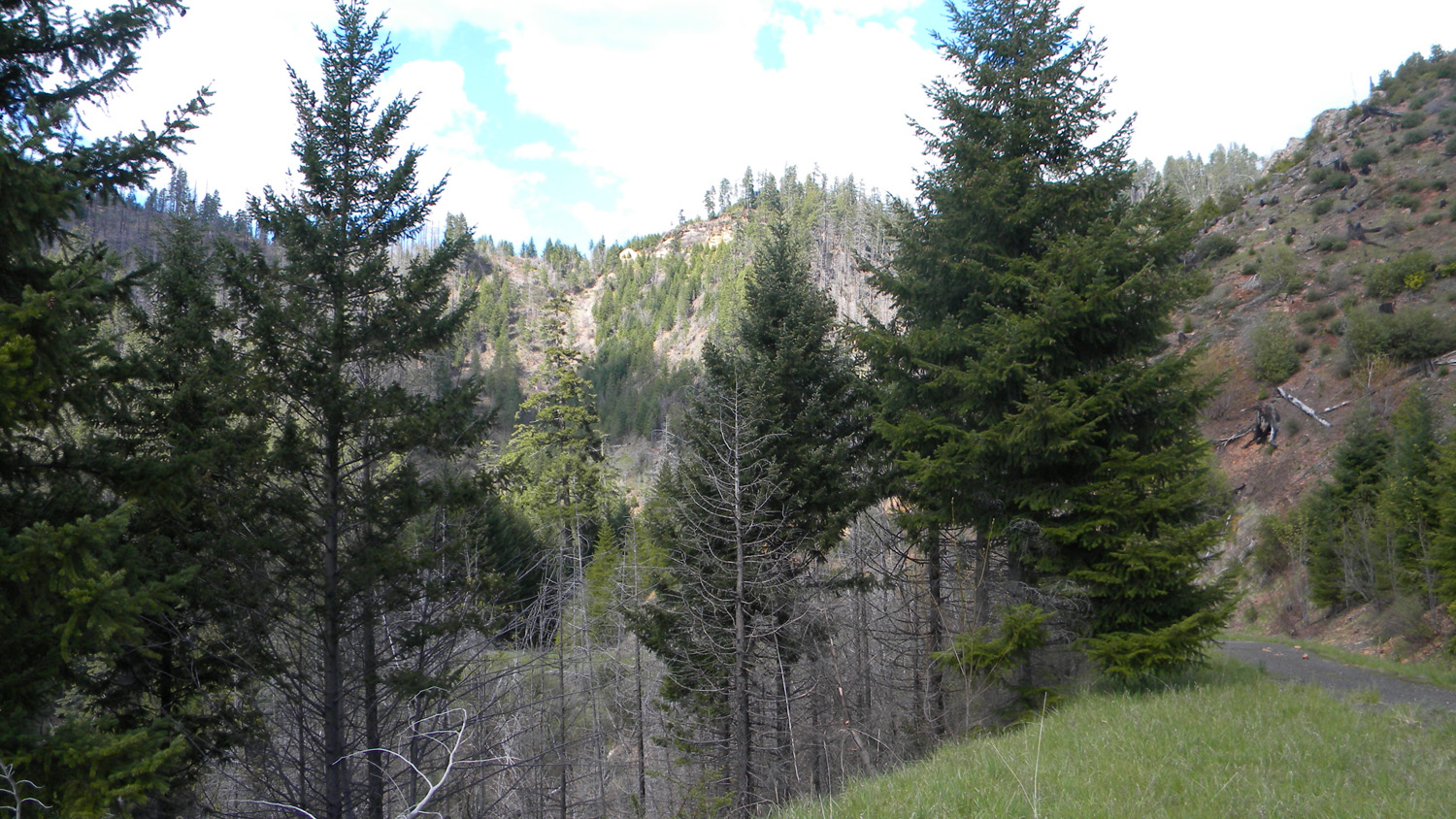
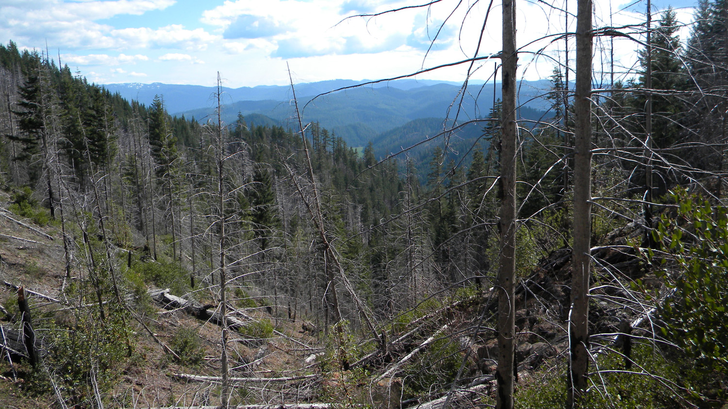
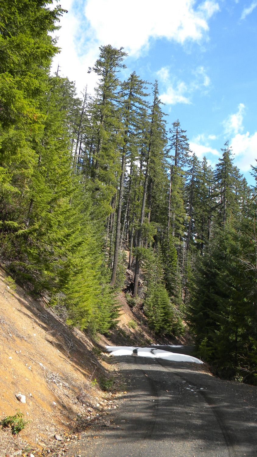
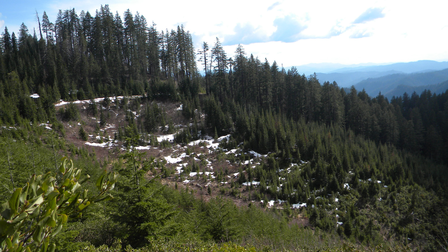
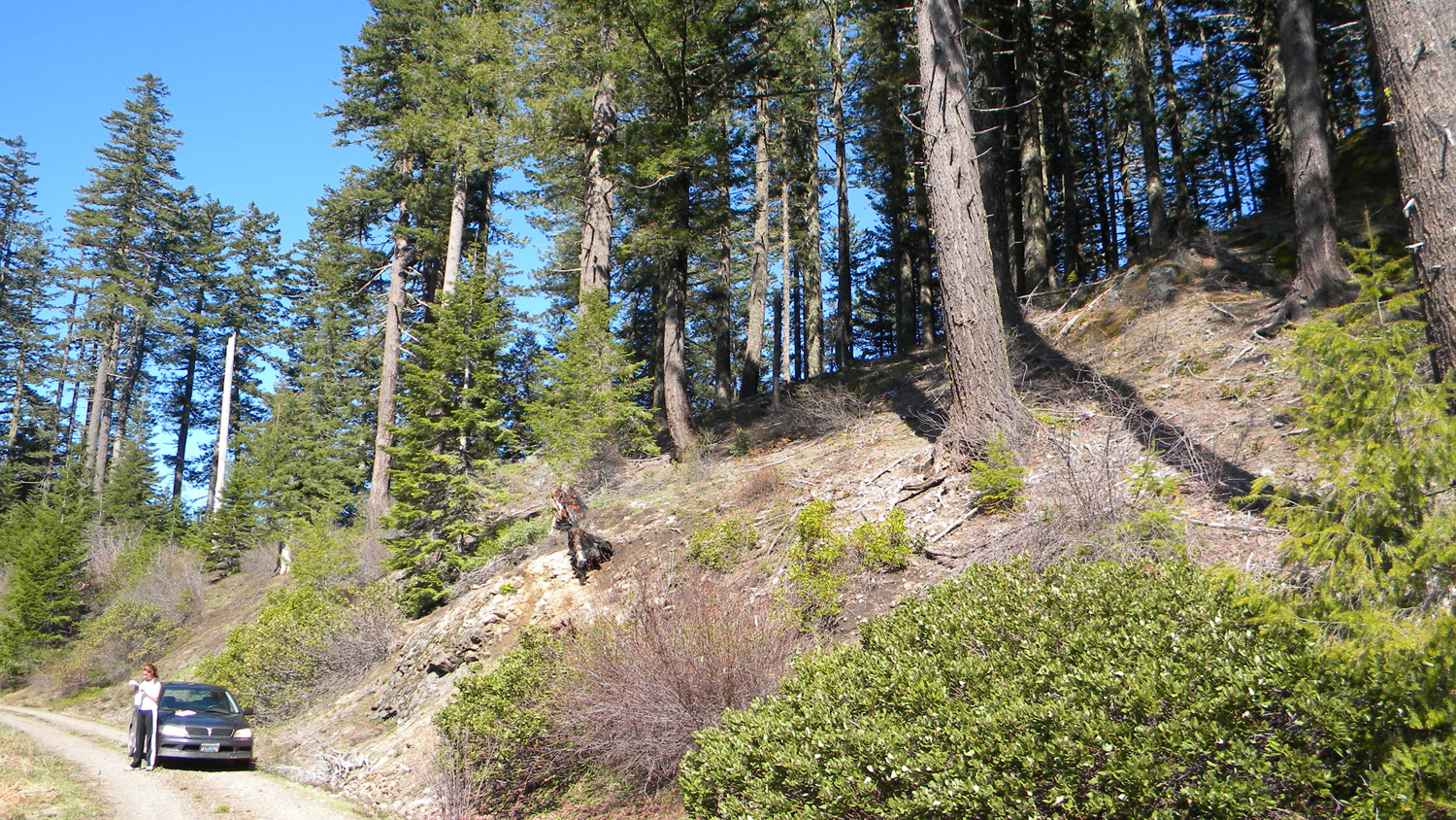
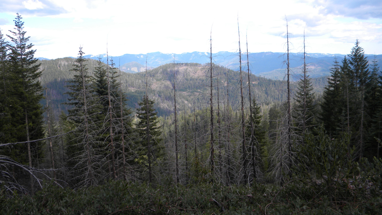
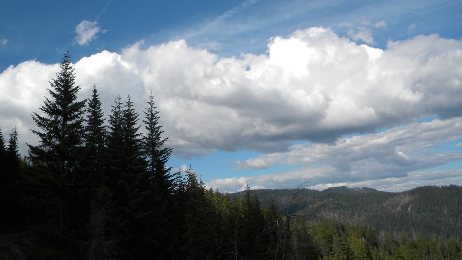
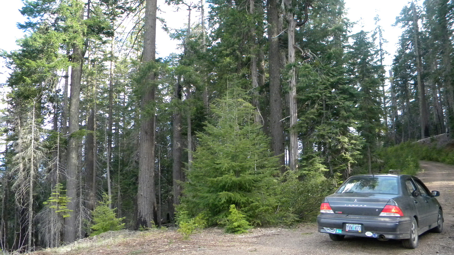
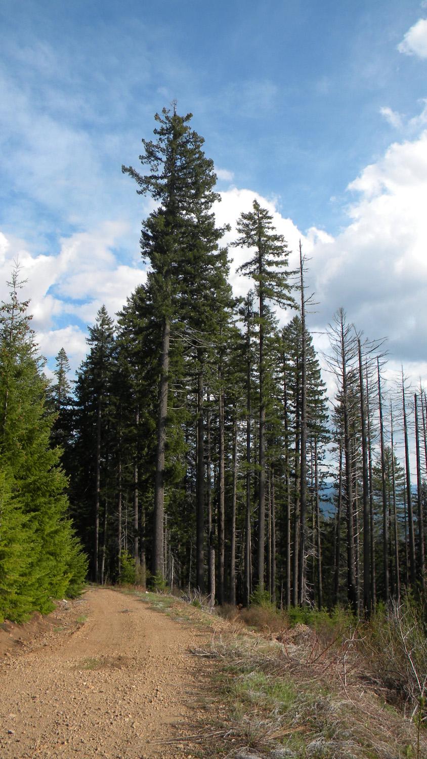
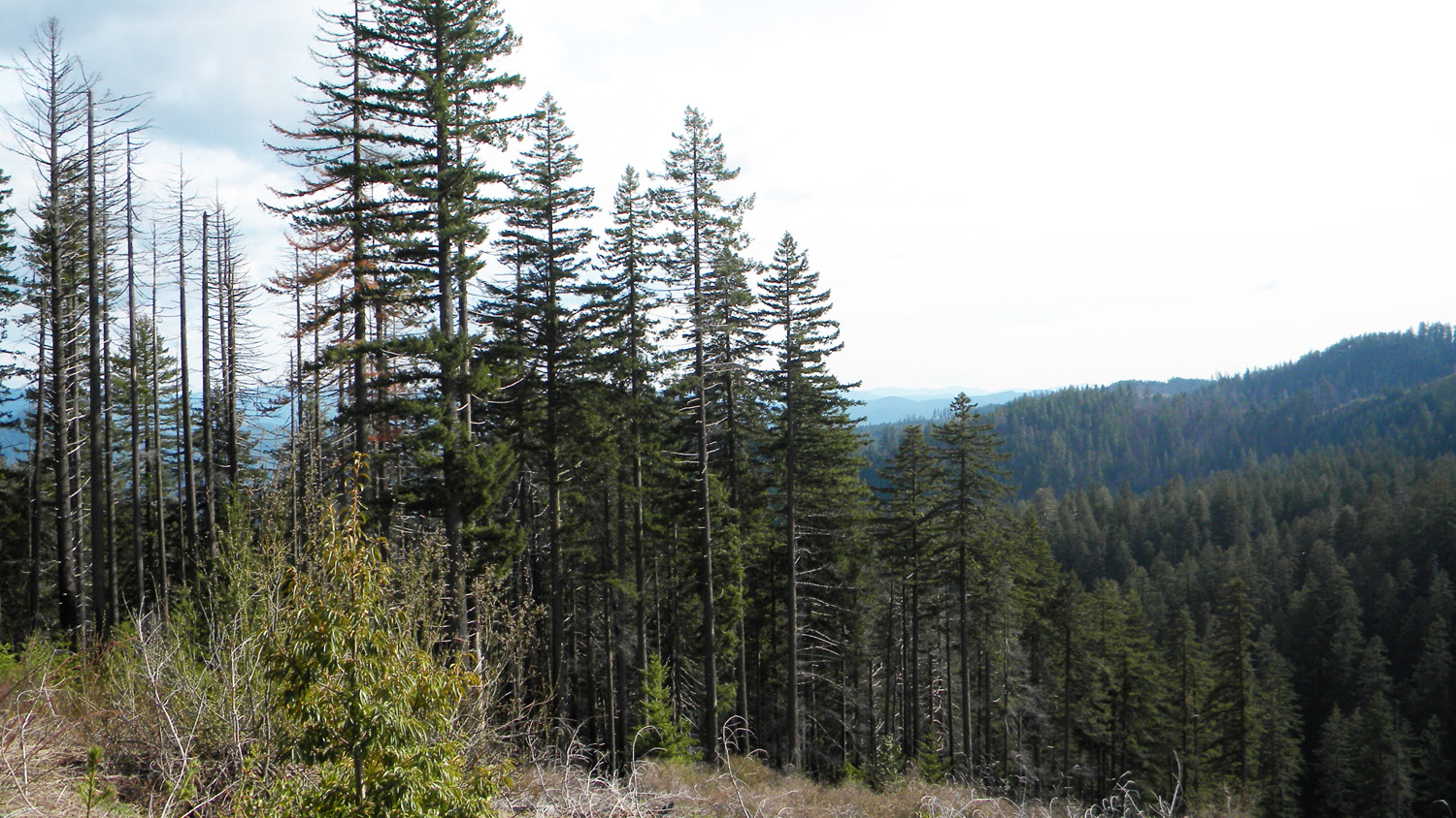
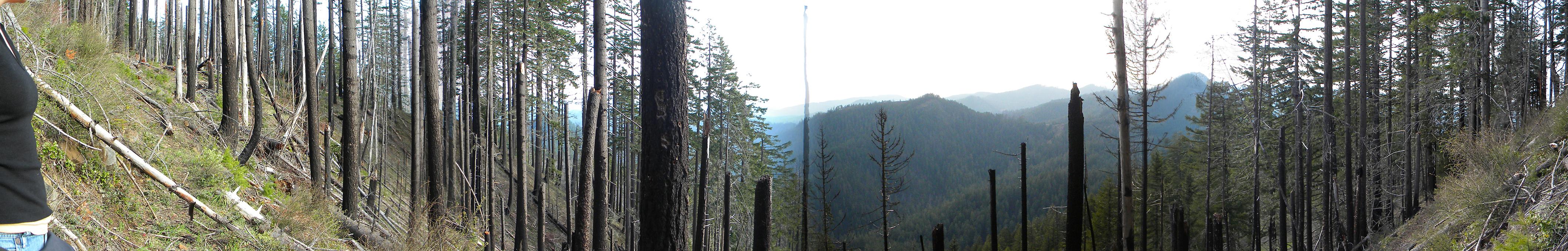
and aerial photographs of Big Squaw Lookout, panoramas
and QTVR video files constructed from the 2010 field research
studies, and individual historical
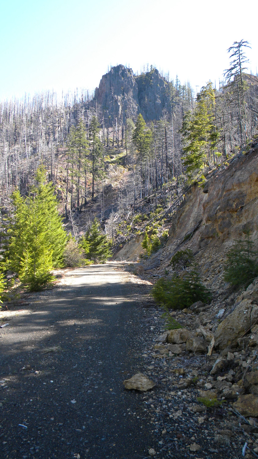
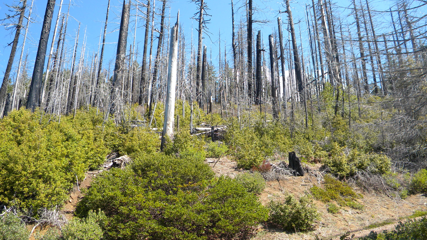
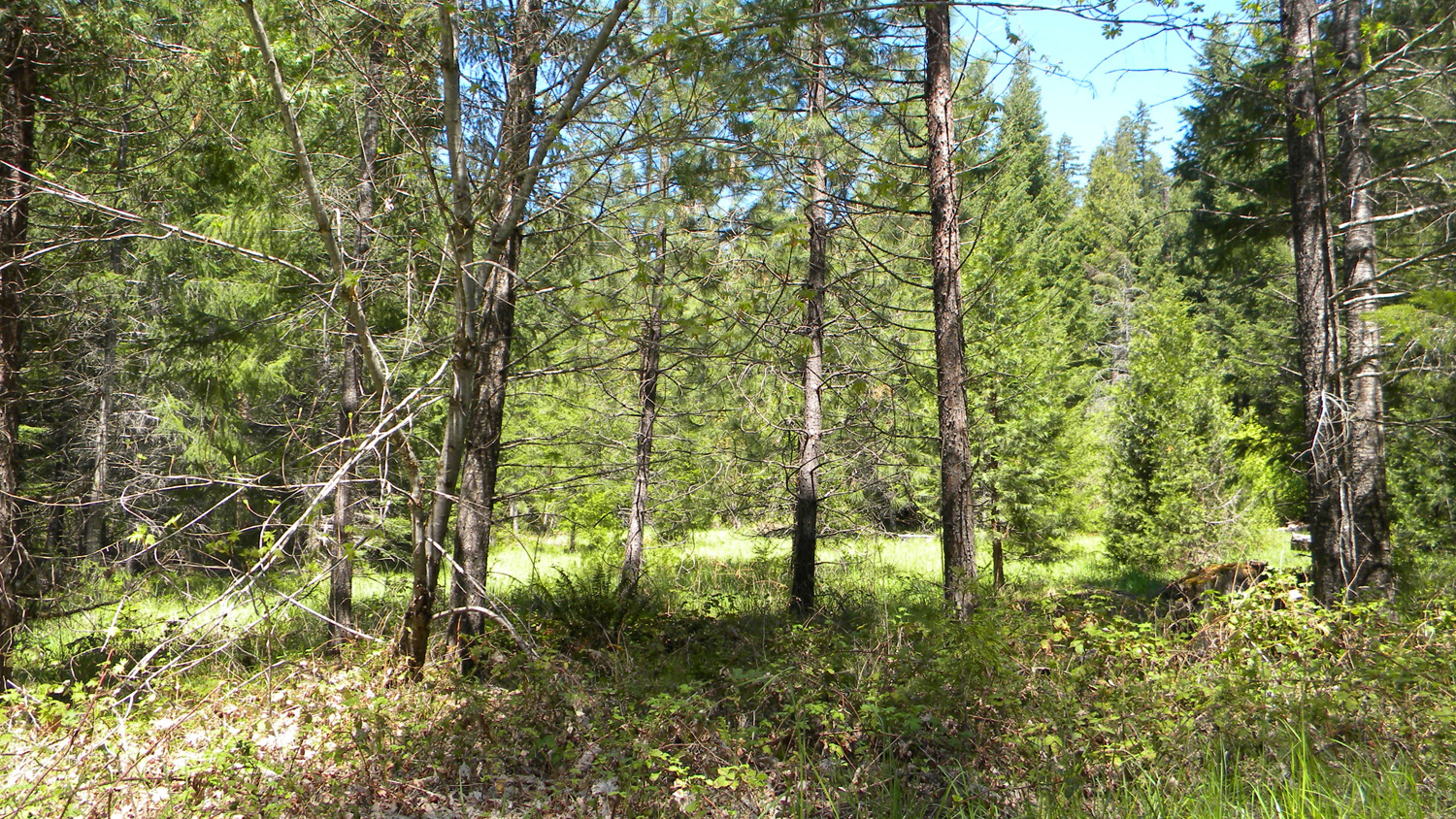
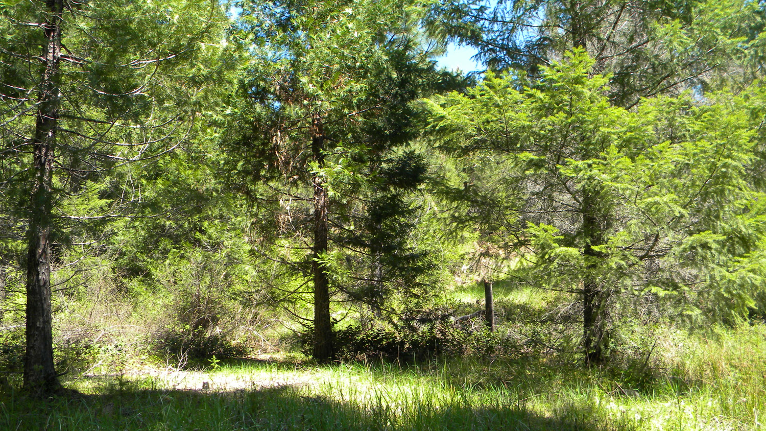
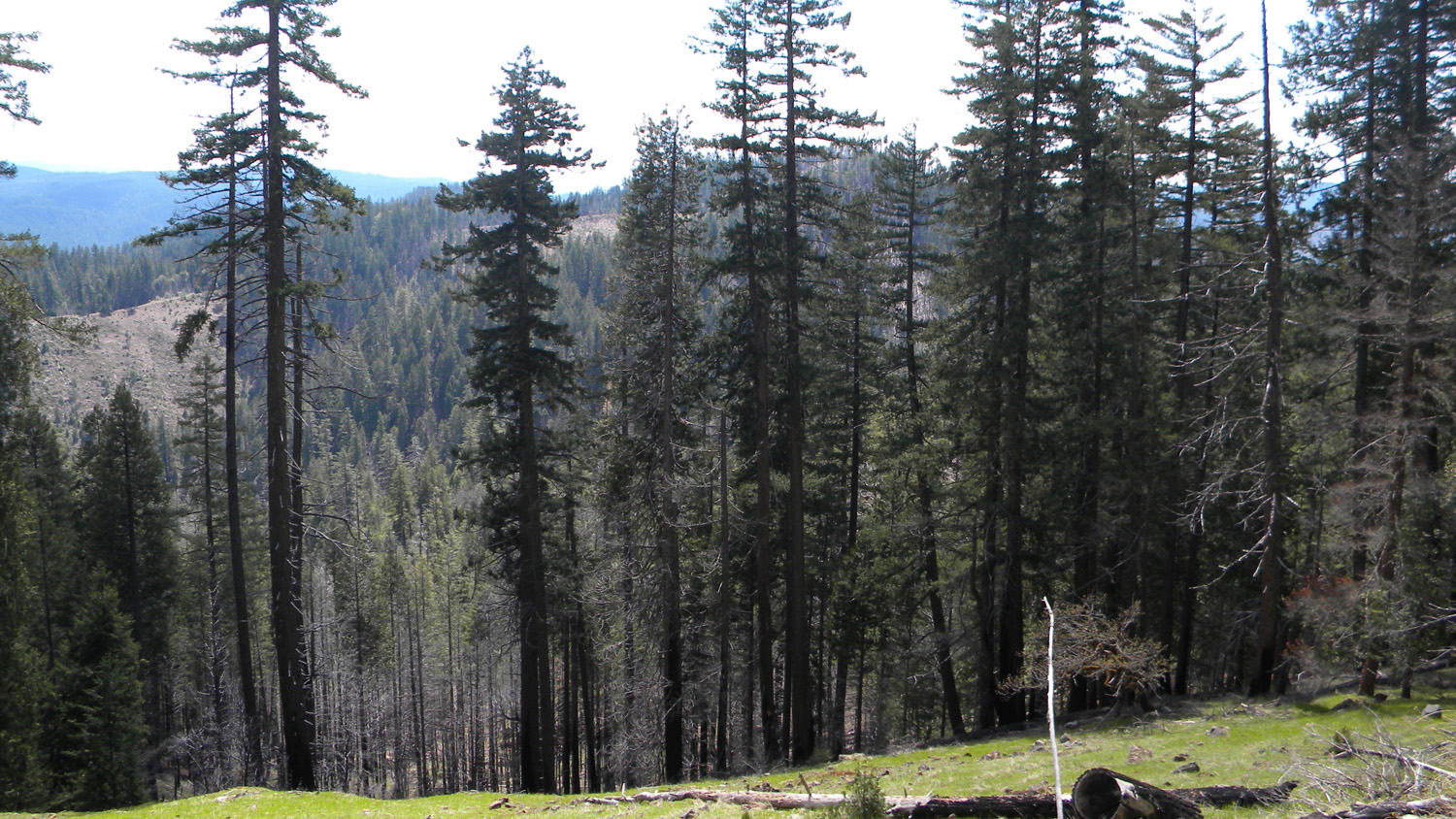
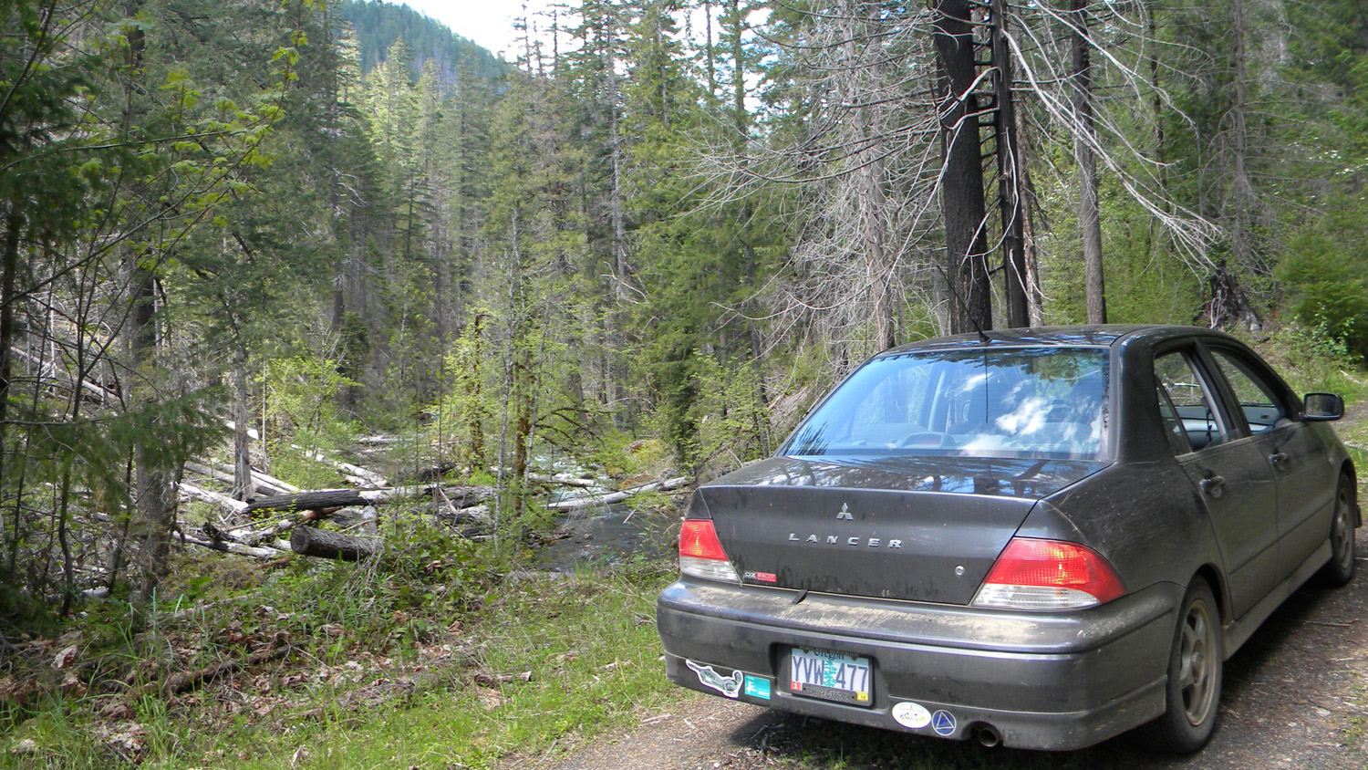
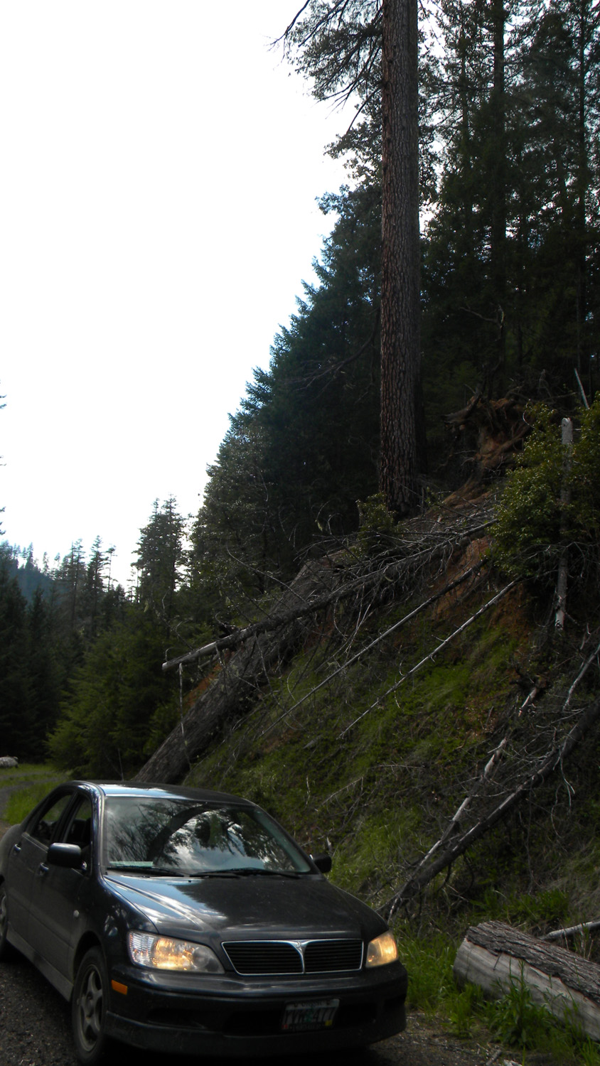
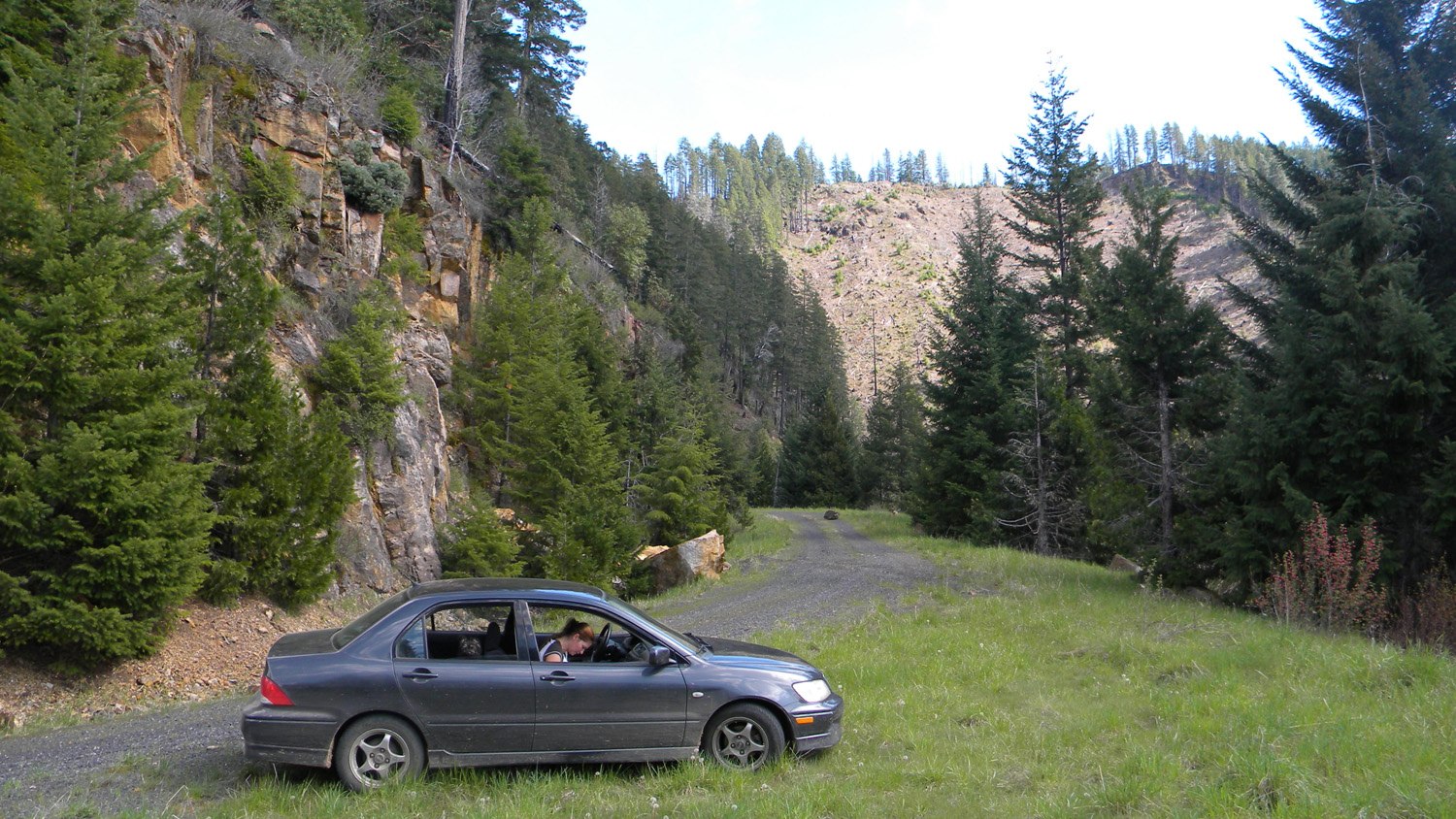
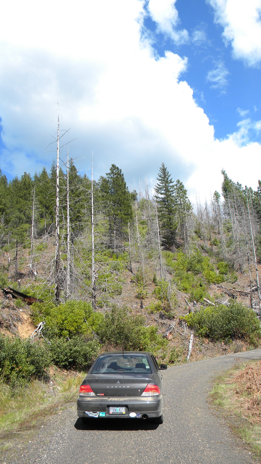
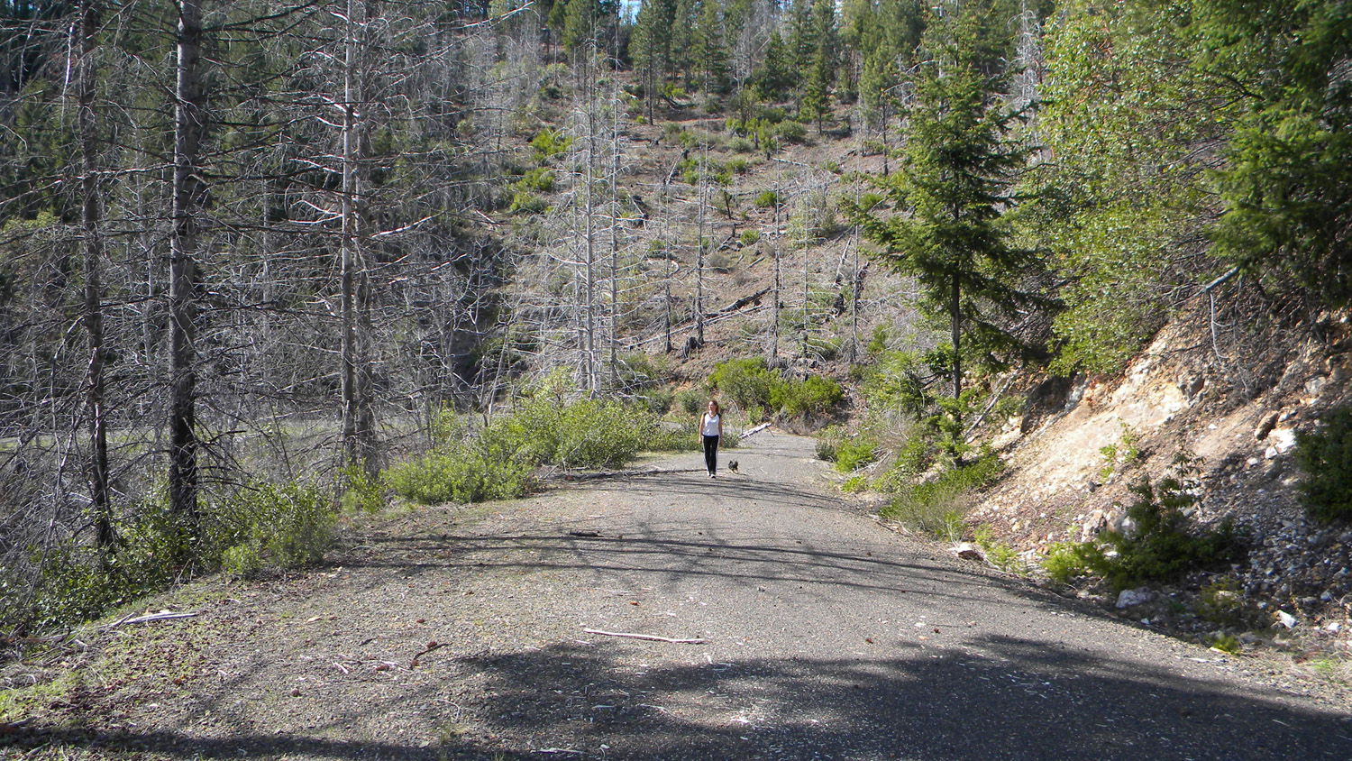
and 2010 documentary photographs showing current condtions,
native plants and animals, and other points of interest related to this
study area. Panoramas and QTVRs 2464_Burn 2671_27_Road_View 2697_27_Road_Clouds © 2010, 2020 Oregon Websites & Watersheds Project,
Inc. & NW Maps Co.
2186-2195_Off_810_Spur-360
![]()
2249-2257_650_Road_View-360![]()
2280-2284_820_Road_View-180
![]()
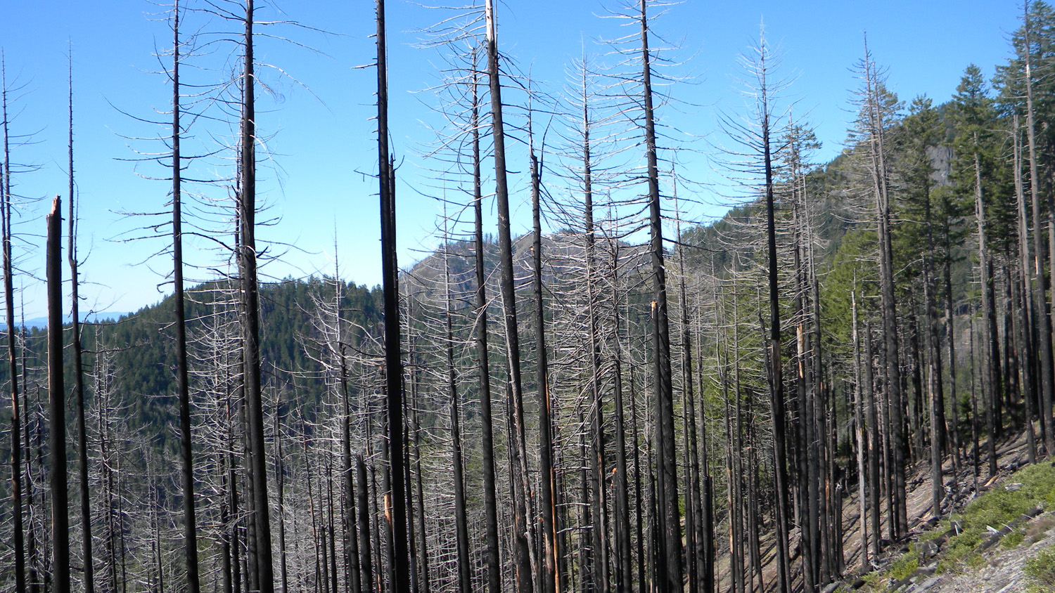
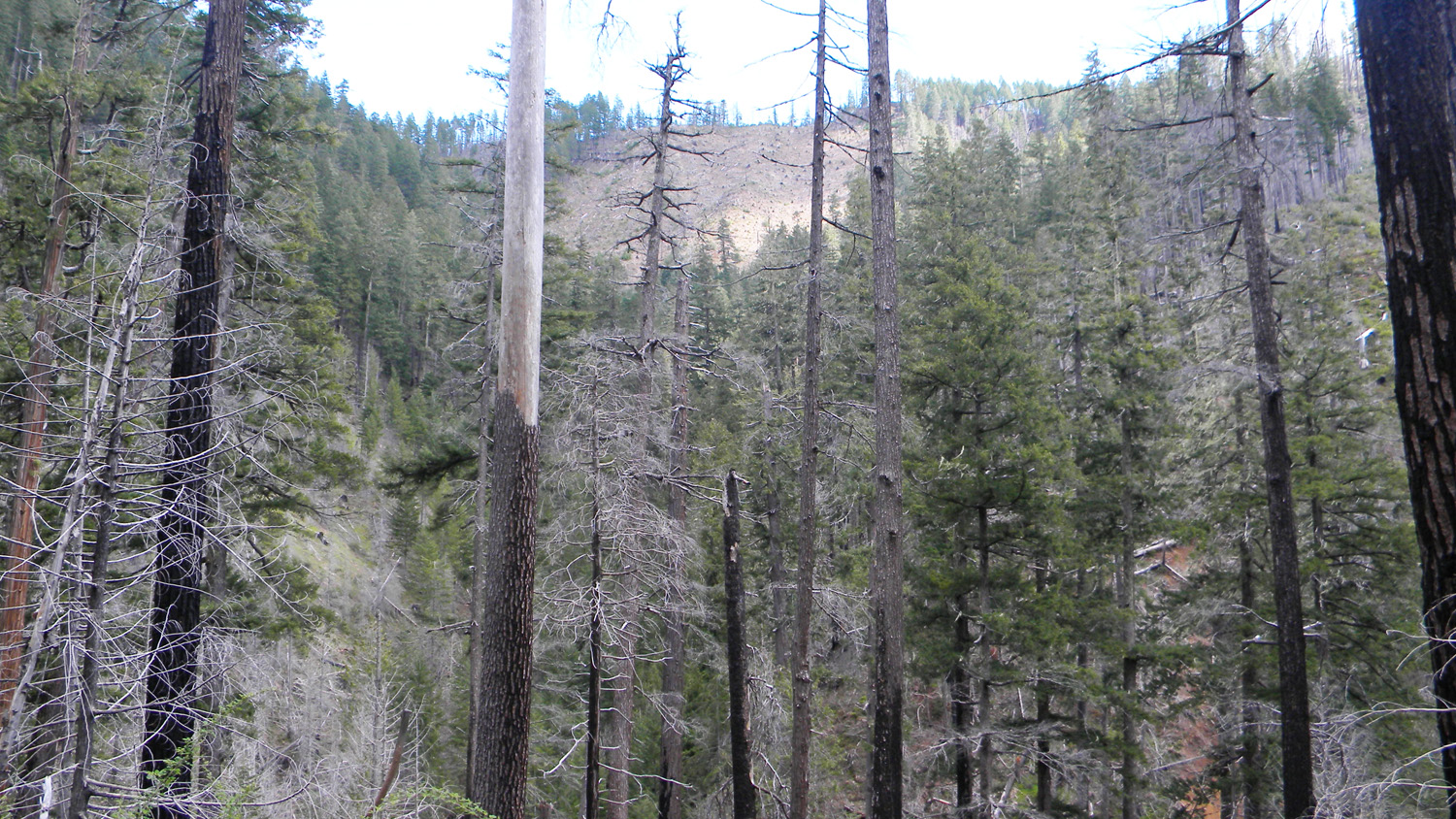
2285-2293_Burn-360![]()
2300-2306_Squaw_Mountain-180
![]()
2308-2317_Squaw_Mountain-360
![]()
2331-2338_Squaw_Mountain-180![]()
2364-2369_Black_Butte-180![]()


2390_Road
2391_617_Road
2392_617_Road
2393_Black_Butte_Squaw
2394_Burn
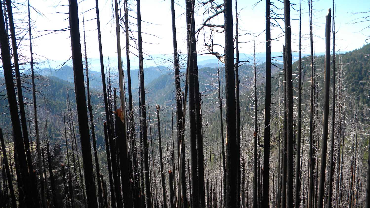
2395_Burn
2396_Burn
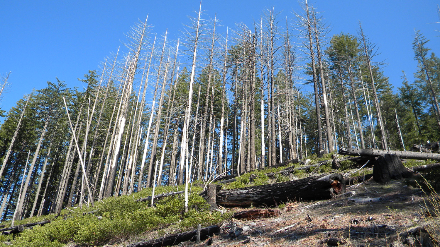
2397_Snags
2398_Burn
2399_Cavitt_Mountain
2400_400_Road_View2401_400_Road_View
2402_400_Road
2403_400_Road
2408_400_Road
2409_400_Road_View
2410_Burn
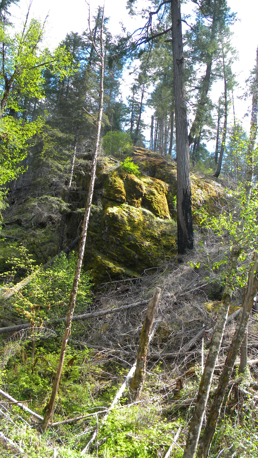
2411_Rock
2413_400_Road_Burn
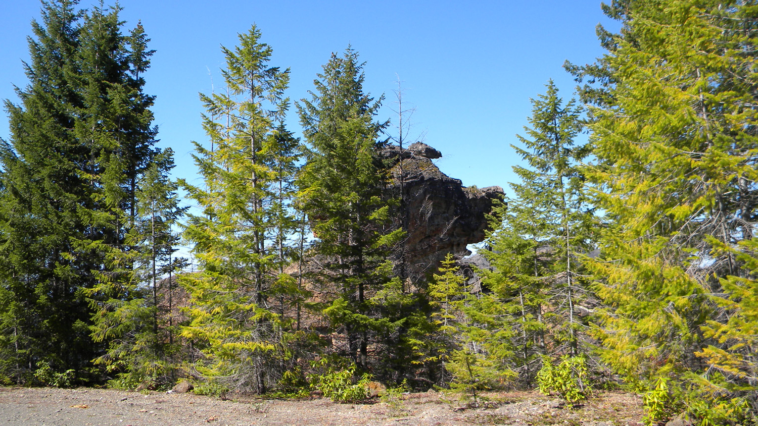
2414_Pig_Rock
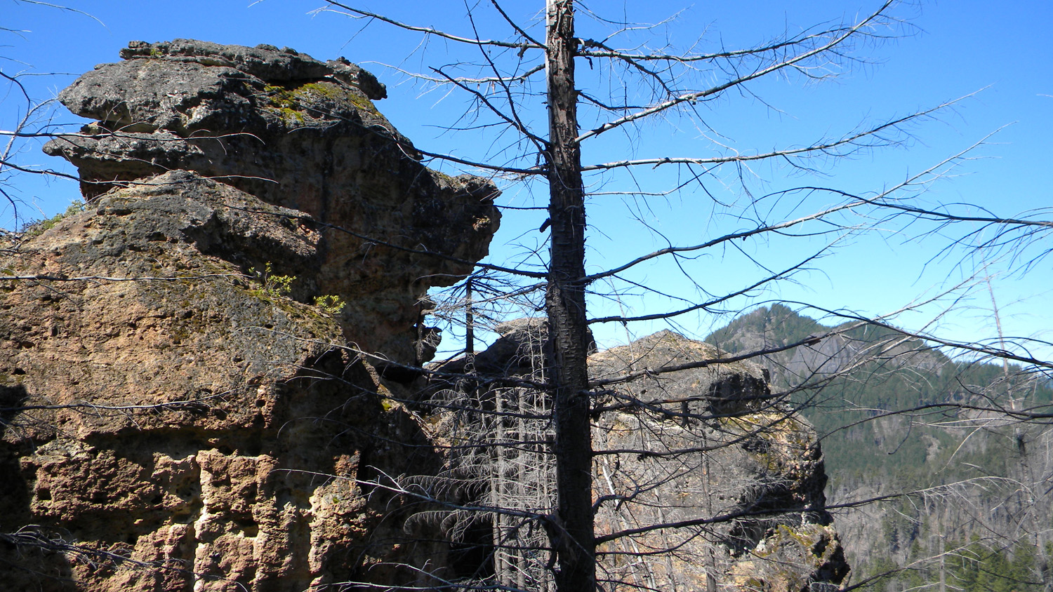
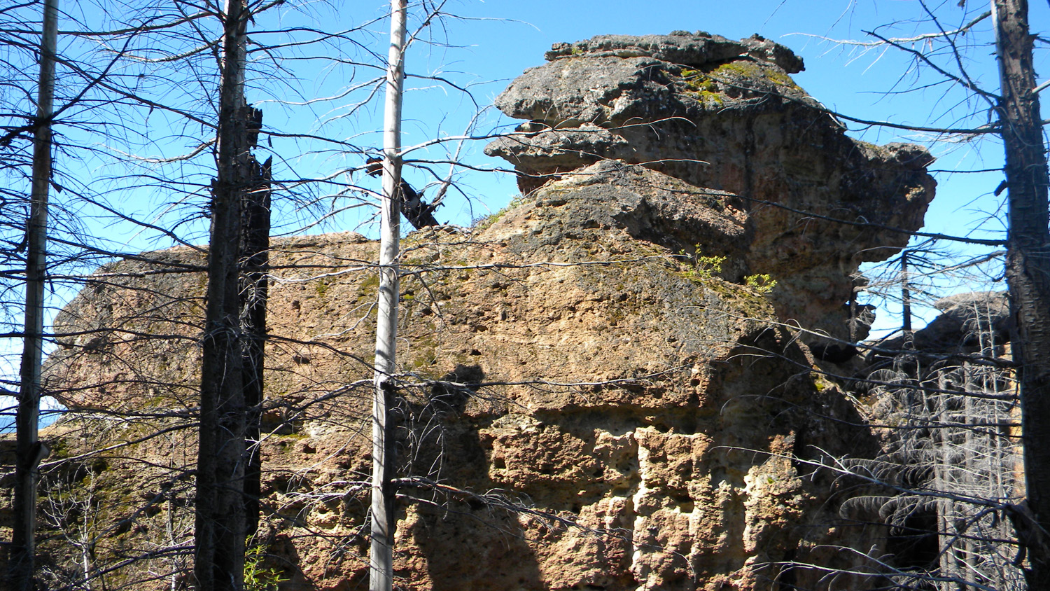
2415_Pig_Rock
2416_Pig_Rock
2417_400_Road_Burn
2418_400_Road
2419_Black_Butte
2420_Black_Butte
2421_400_Road_Rock
2422_Pig_Rock
2423_400_Road_Rock
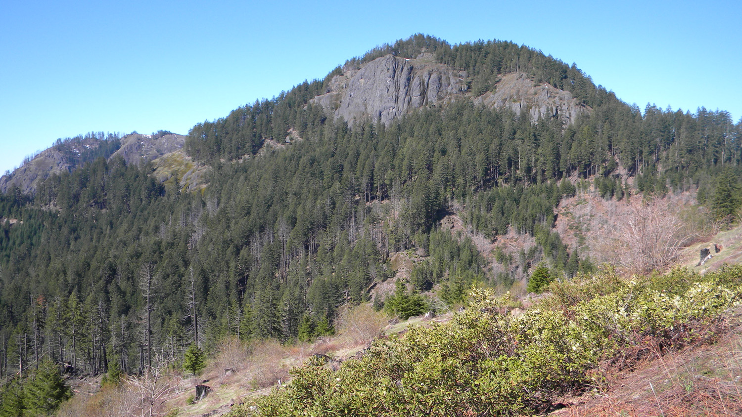
2424_Big_Squaw_Mountain

2426_Big_Squaw_Mountain
2427_400_Road_View2428_Pig_Rock2430_400_Road_Rock
2431_Pig_Rock

2434_400_Road_View
2439_400_Road_View
2440_400_Road
2451_400_Road_View
2452_400_Road_View
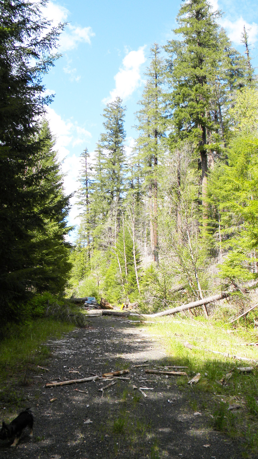
2453_400_Road_Blocked
2454_400_Road_Blocked
2565_2826_Road_View
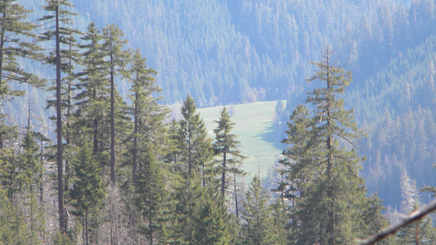
2566_2826_Meadow

2567_2826_Road
2570_2826_Road_Ridge
2578_2826_Road_View
2589_2826_Ridge_View
2590_2826_Ridge_View
2591_2826_Ridge_View
2592_2826_Road_Ridge
2604_2826_Road_Ridge
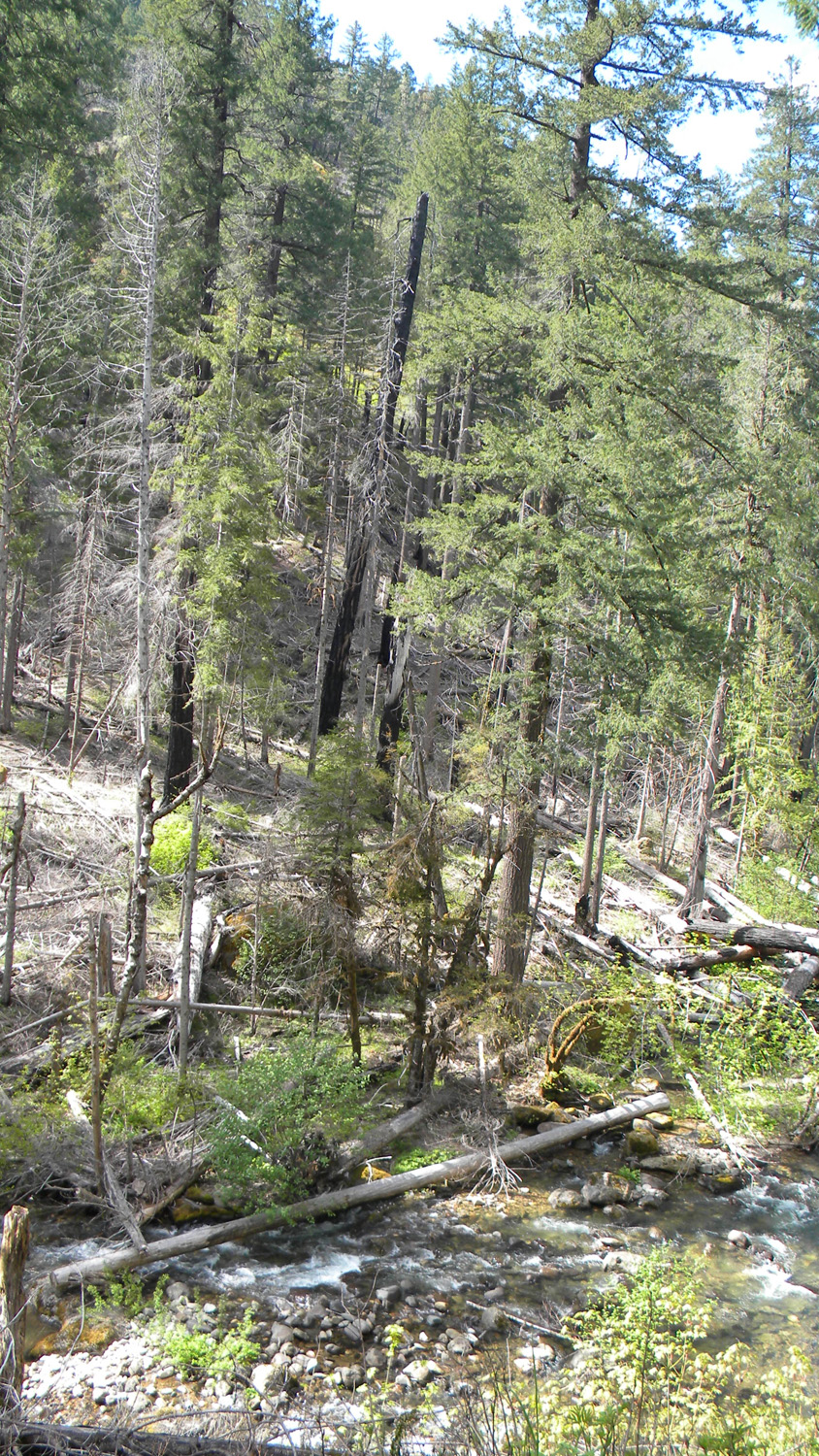
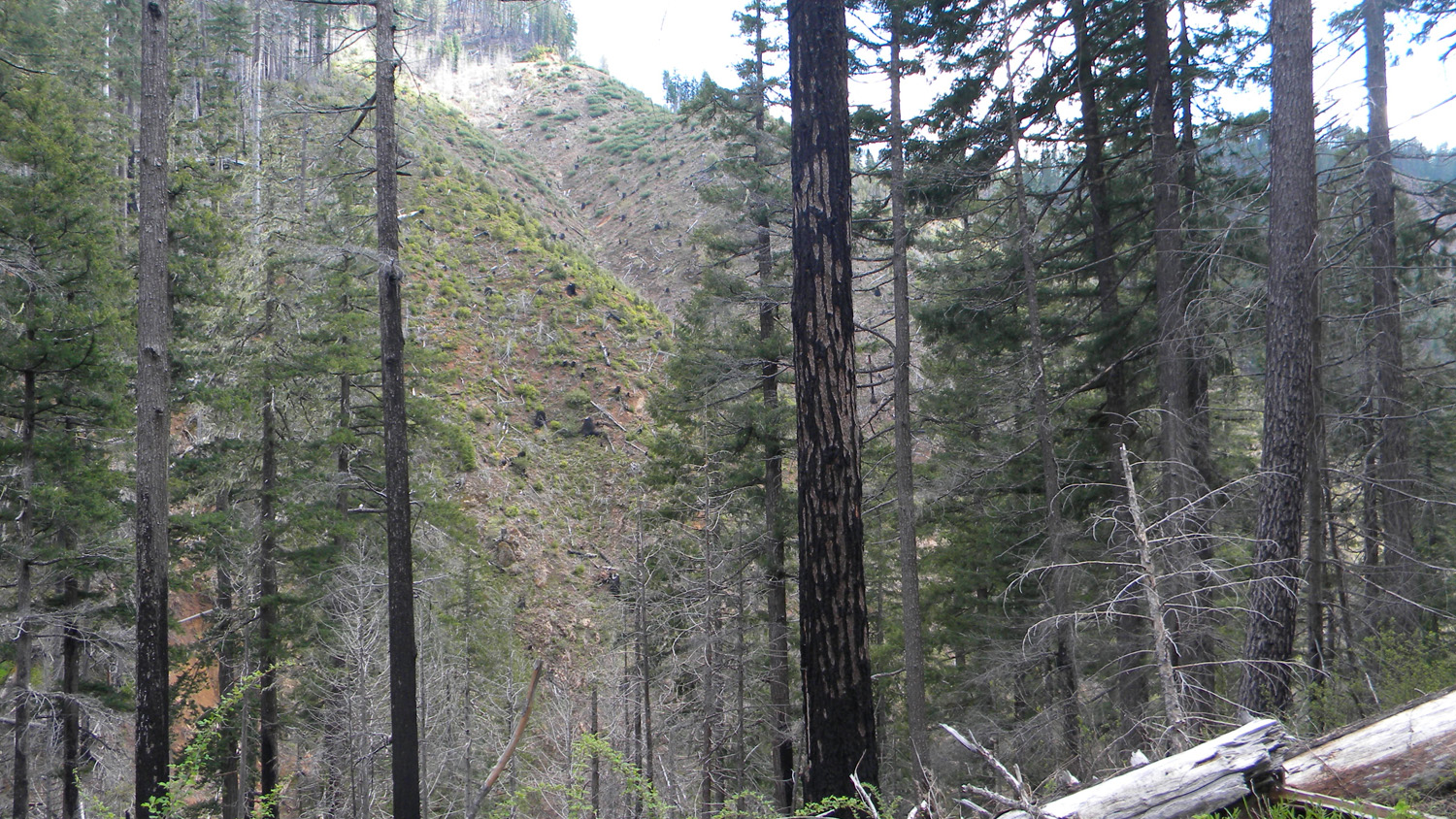
2608_Burn_Pattern
2609_Burn_Pattern

2610_Burn_Pattern
2611_Burn_Pattern
2612_Burn_Pattern
2613_Burn_Pattern
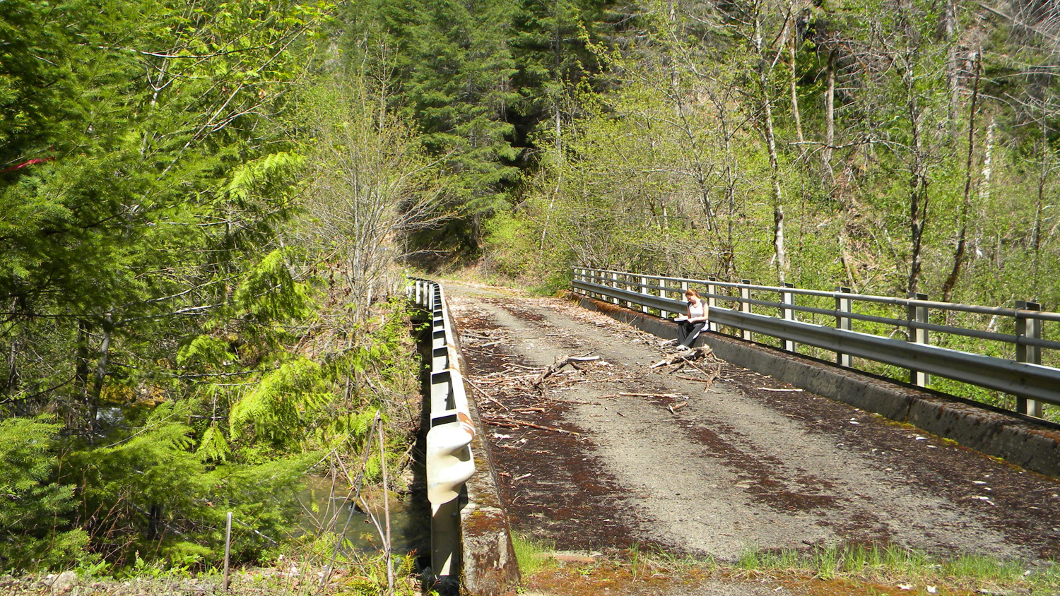
2615_Boulder_Creek_Bridge
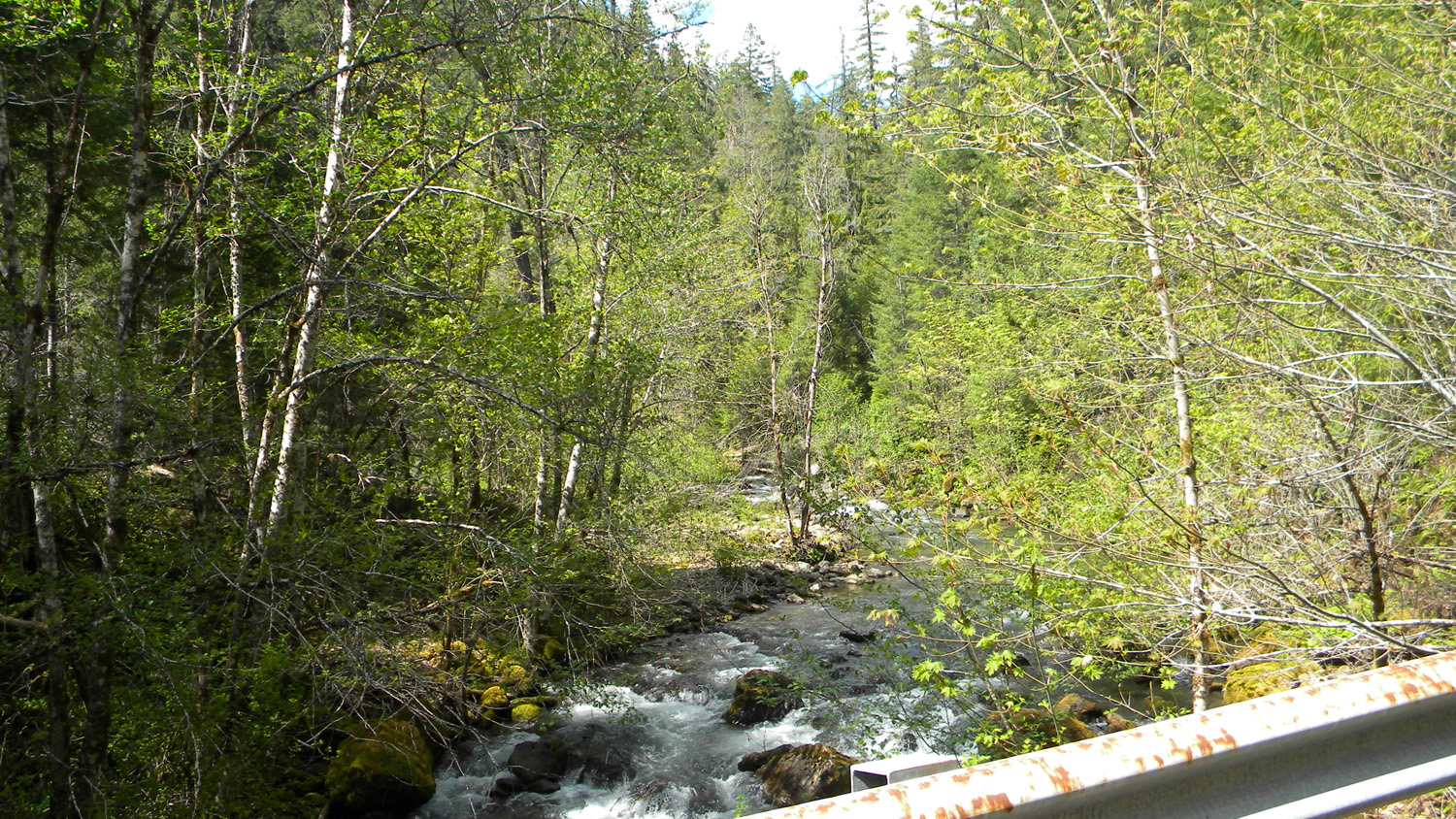
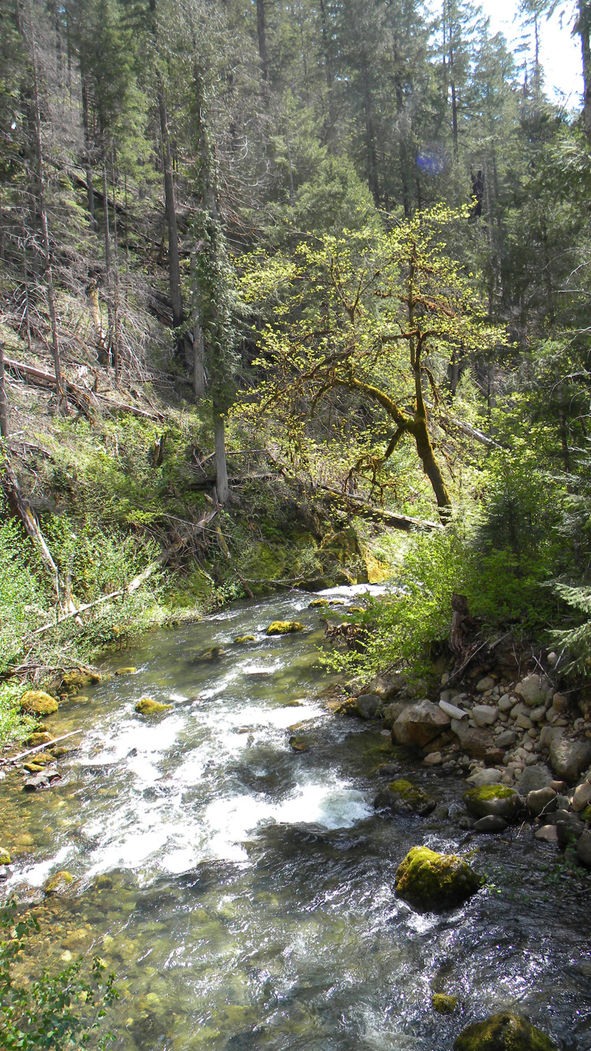

2616_Boulder_Creek
2617_Boulder_Creek
2618_Boulder_Creek_Bridge
2619_Boulder_Creek_Bridge
2621_2826_Road_Blocked
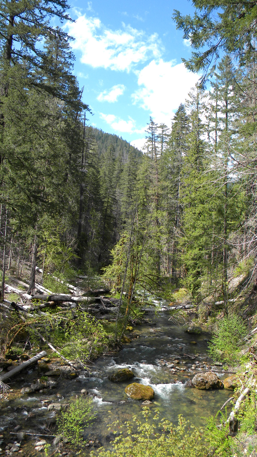
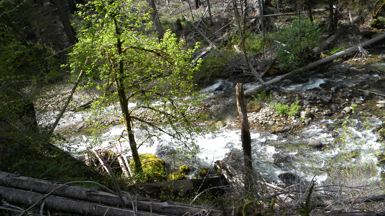
2622_Boulder_Creek
2623_Boulder_Creek
2624_Boulder_Creek
2625_Boulders
2626_Boulder_Creek
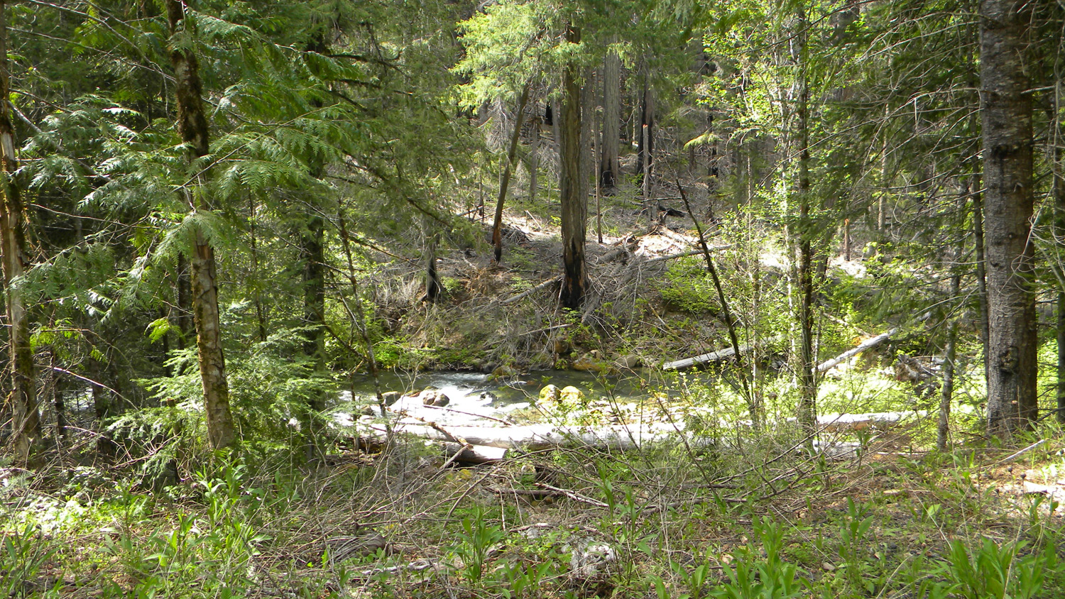
2627_Boulder_Creek
2629_Burn
2631_2741_Road
2632_2741_Road
2633_2741_Road_View

2634_2741_Road_View
2635_2741_Road_View
2636_2741_Road
2637_2741_Road_View
2638_Burn
2639_Burn
2640_2741_Road
2641_2741_Road_View
2642_2741_Road_View
2643_2741_Road_View
2646_2741_Road_View2647_Burn2648_2741_Road_View
2649_2741_Road_View
2652_2741_Road_Burn


2659_2741_Road_Meadow
2660_2741_Meadow
2661_2741_Road_Meadow
2662_2741_Road_Meadow
2663_2741_Meadow

2664_2741_Road_Meadow
2672_27_Road_Blocked
2673_27_Road_Blocked
2678_27_Road_View
2679_27_Road_View
2680_27_Road_Burn
2681_27_Road_Burn
2682_27_Road_Burn
2683_27_Road_View

2684_27_Road_View
2685_27_Road_View
2686_27_Road_View
2687_Quartz_Mountain
2688_Quartz_Mountain


2689_27_Road_View
2696_27_Road_View
2698_700_Road
2699_700_Road

2700_700_Road_View
2701_700_Road
2702_700_Road
2703_717_Road
2704_717_Road_View
![]()
