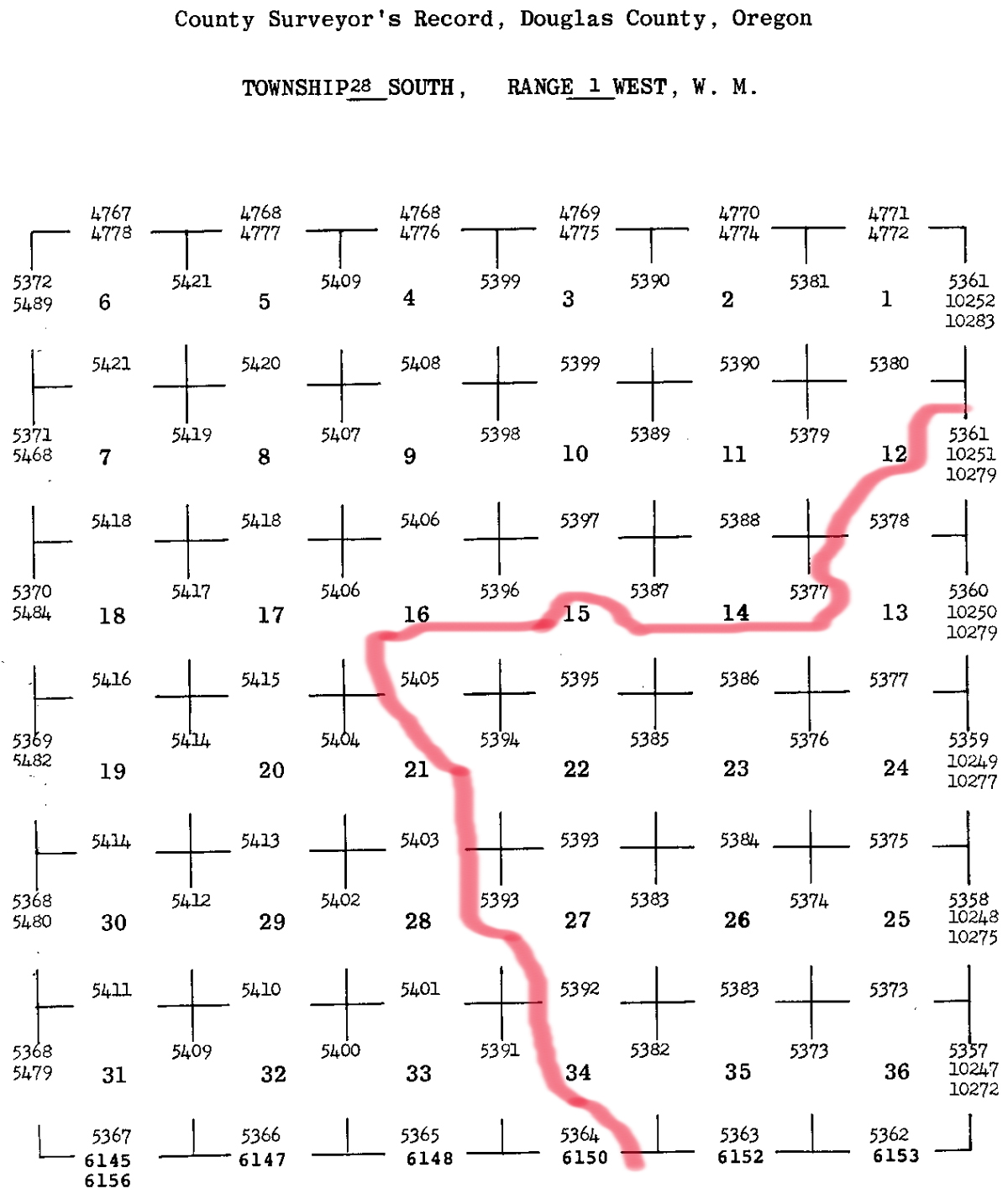
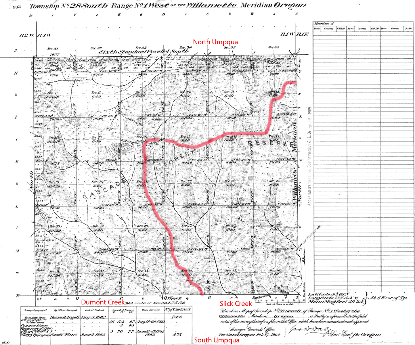
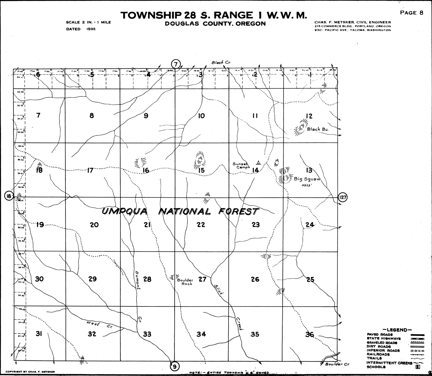
South Umpqua River
Tsp. 28 S., Rng. 1 W.
1904 General Land Office Survey Index
 |
 |
1904 GLO |
1932 Metsker |
The red line of this index indicates the northern-western boundary of the 2010 South Umpqua Headwaters Precontact Reference Conditions Study and includes Big Squaw Mountain Fire Lookout the Section 36 Area of Special Interest. This survey was completed in 1883 and 1902 and mapped in 1904 (Flint 1883; Angell 1902).