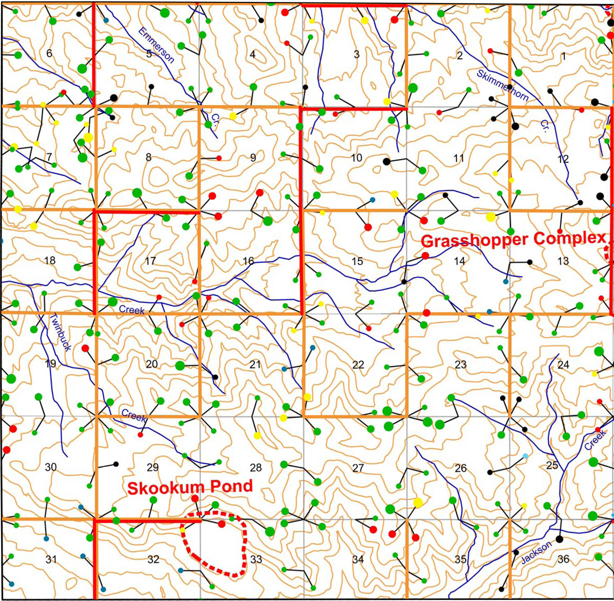
Upper South Umpqua Headwaters Precontact Reference Study
Tsp. 29 S., Rng. 2 E.
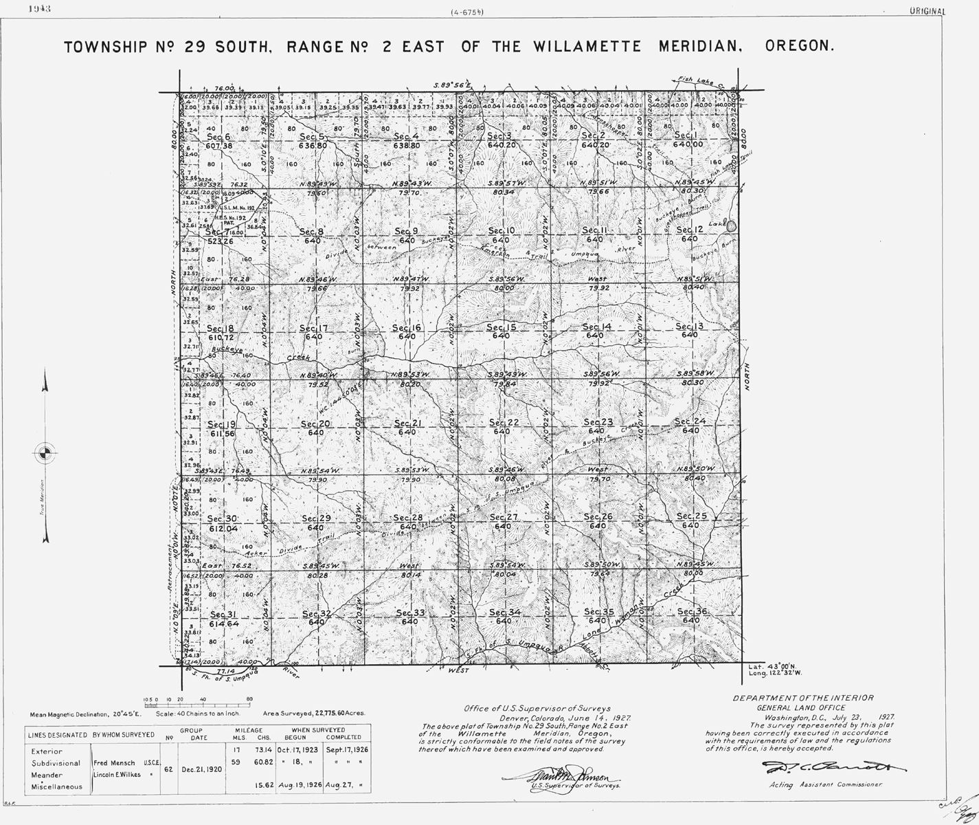
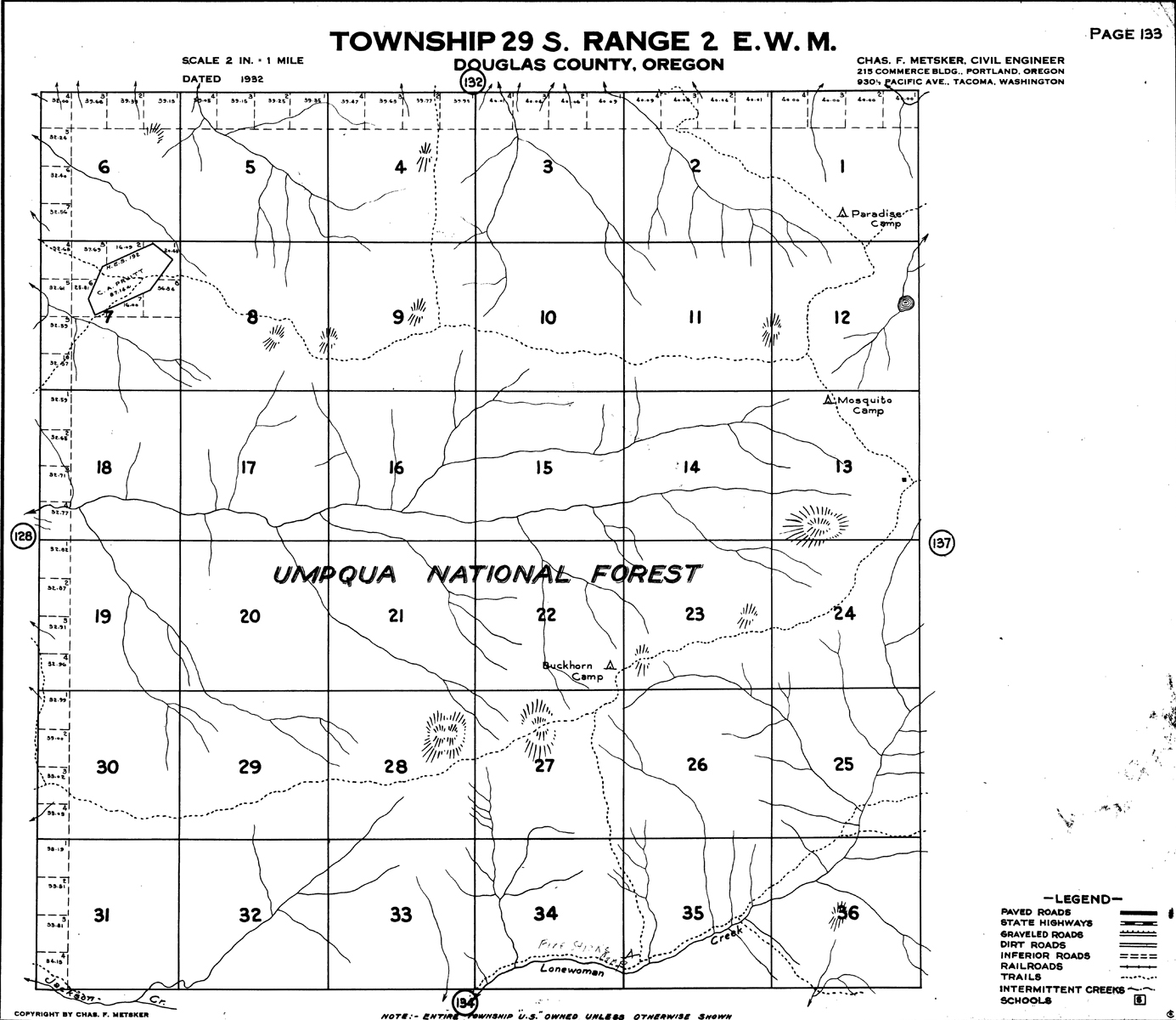
The survey of Tsp. 29 S., Rng. 2 E. was completed in 1926 and mapped in 1927 (Mensch and Wilkes 1926). The Emerson Homestead in Section 7 was surveyed in 1916 and mapped in 1917 (Rose 1916b).and link to Original Land Survey Notes.
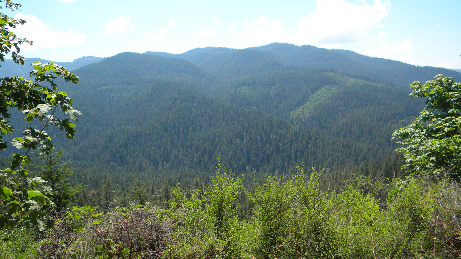
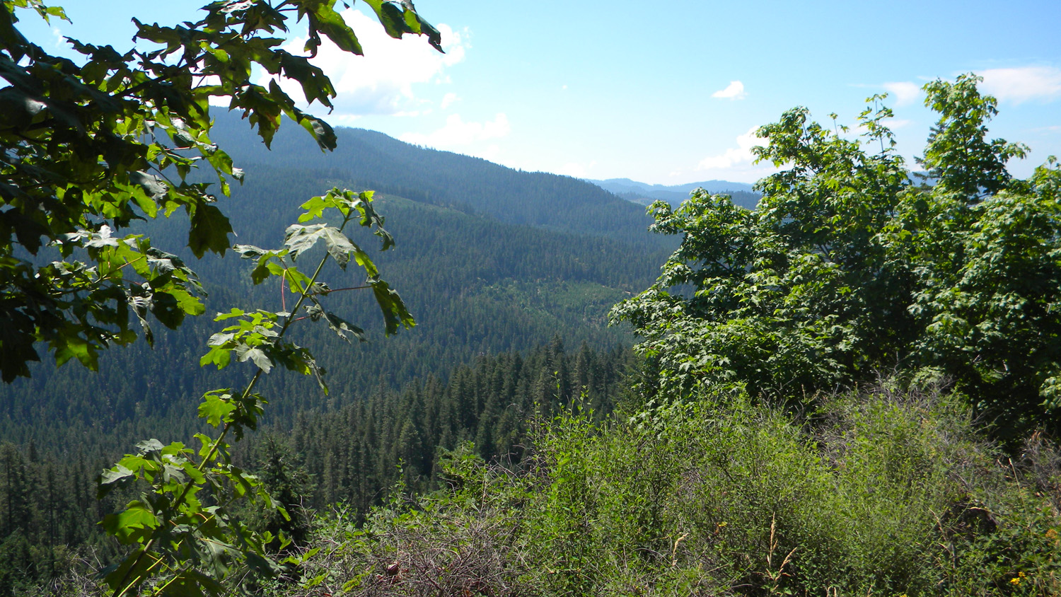
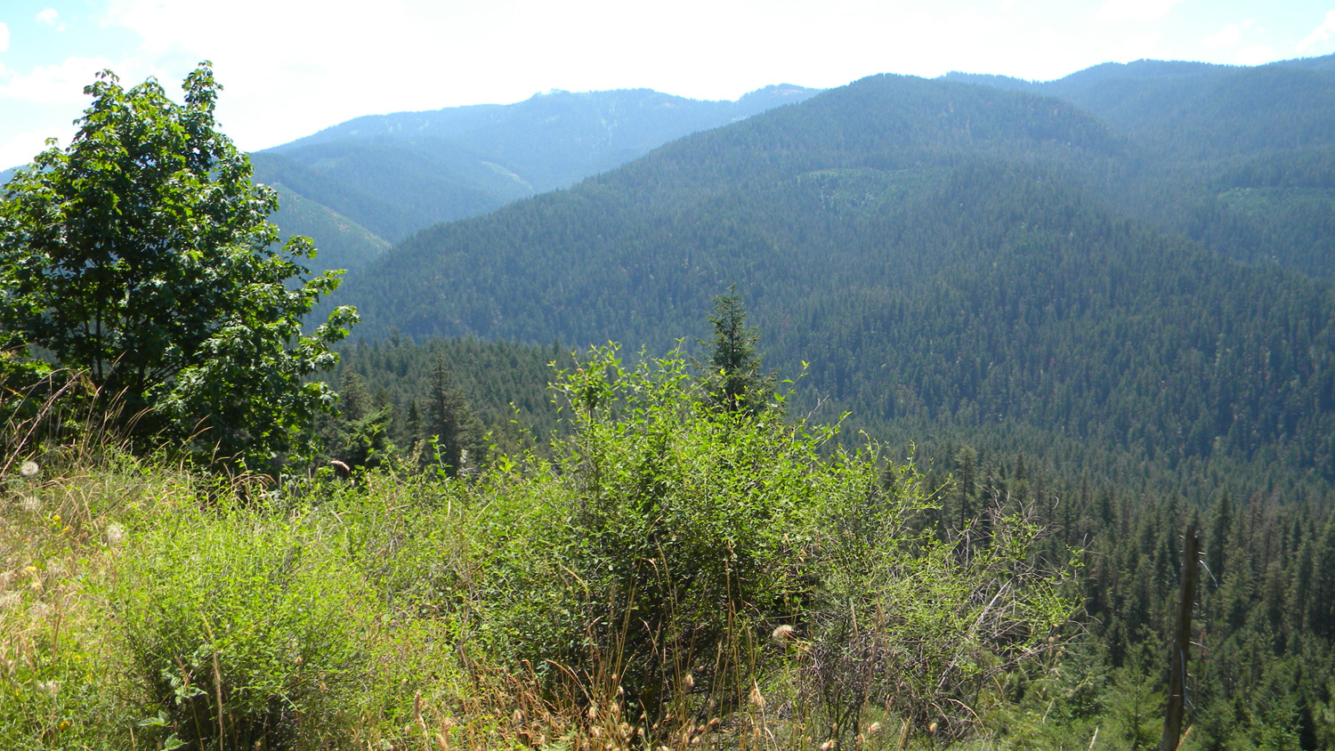
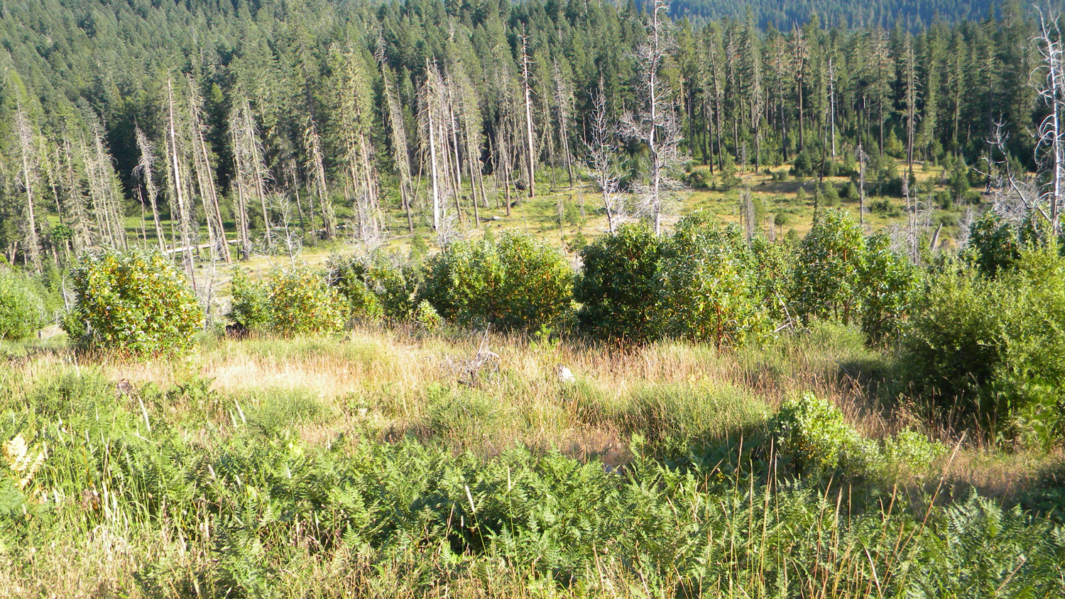
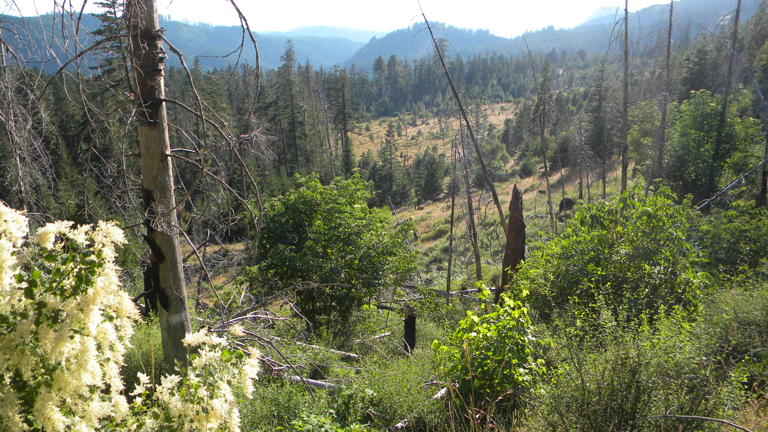
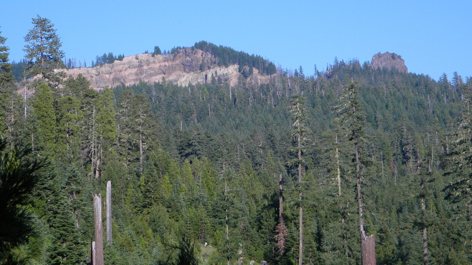
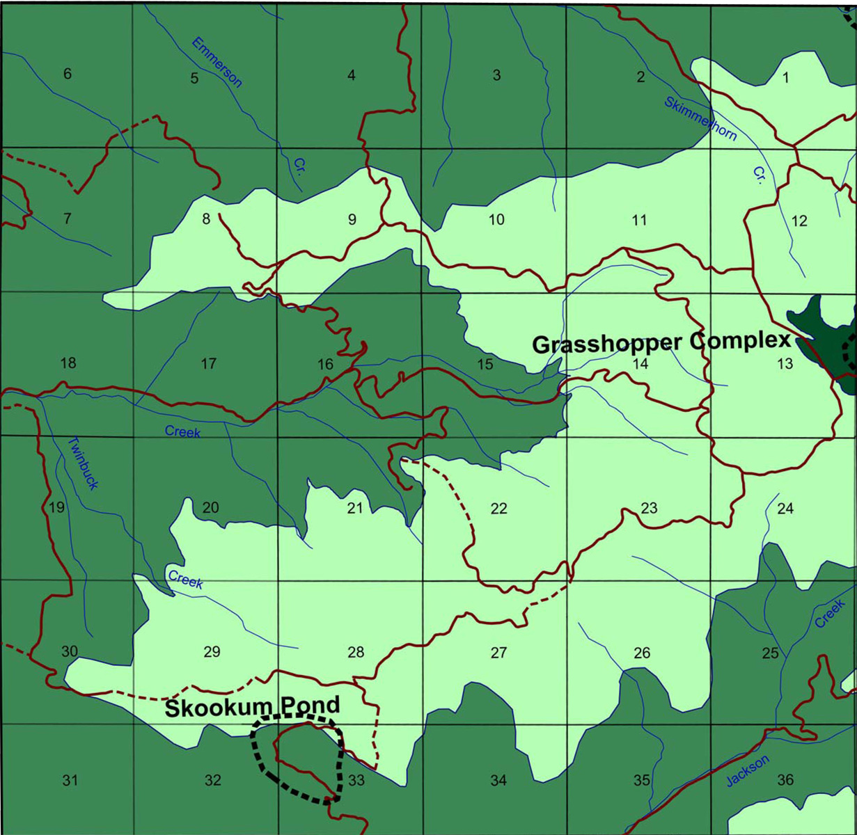
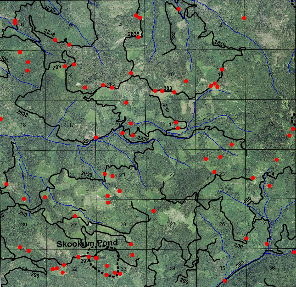
This township is located in the Upper South Umpqua Headwaters Precontact Reference Study and contains portions of three of the study's subbasins: Jackson Creek subbasin, Buckeye Creek subbasin, and Castle Rock Fork subbasin. It contains one of the study's Areas of Special Interest: the Skookum Pond Area, and the westdernmost boundary of the Grasshopper Complex Area.
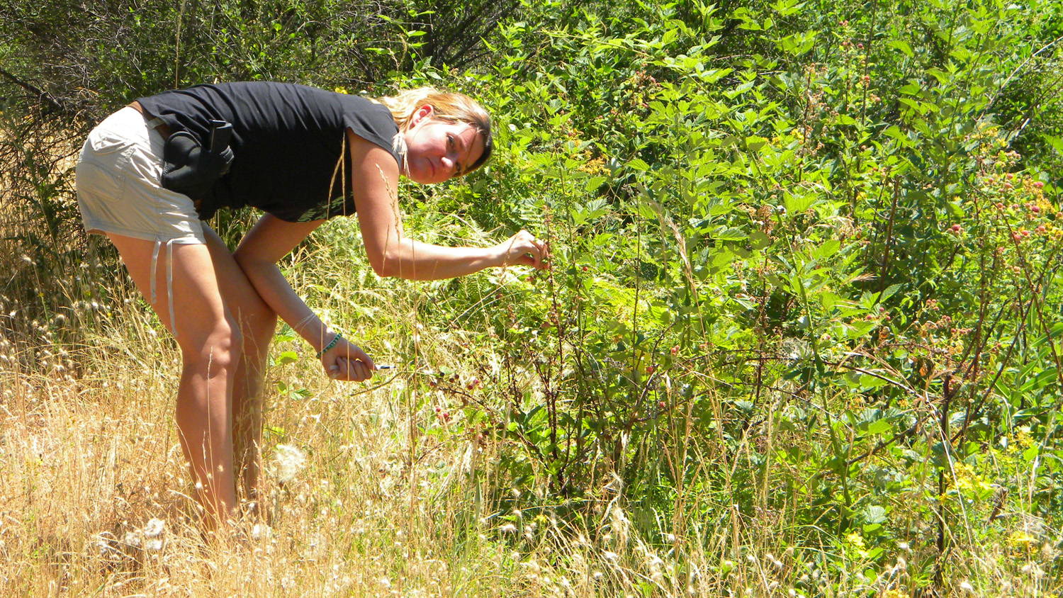
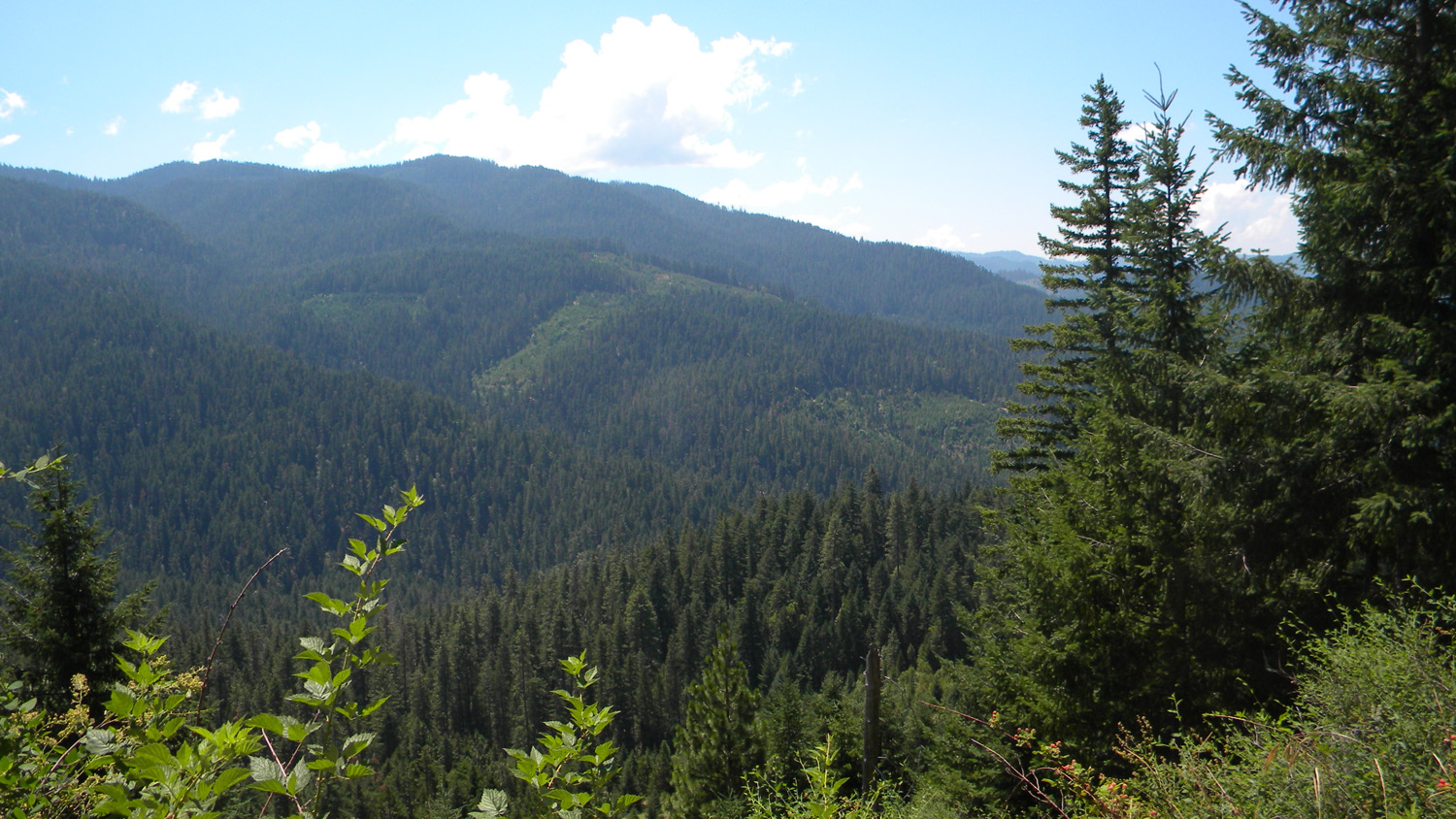
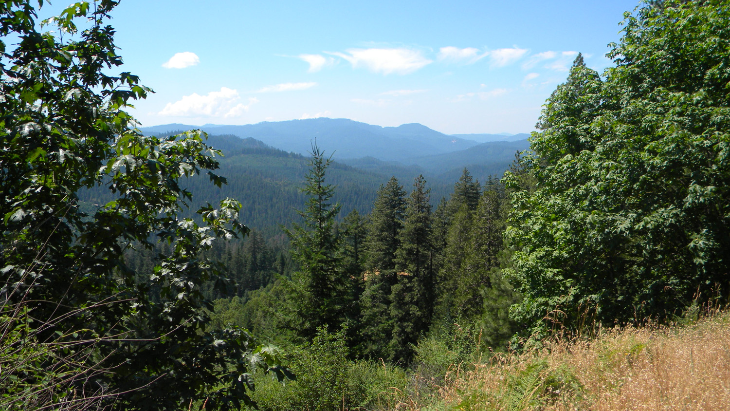
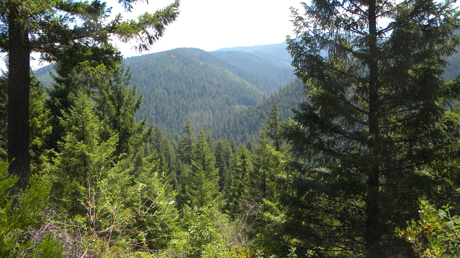
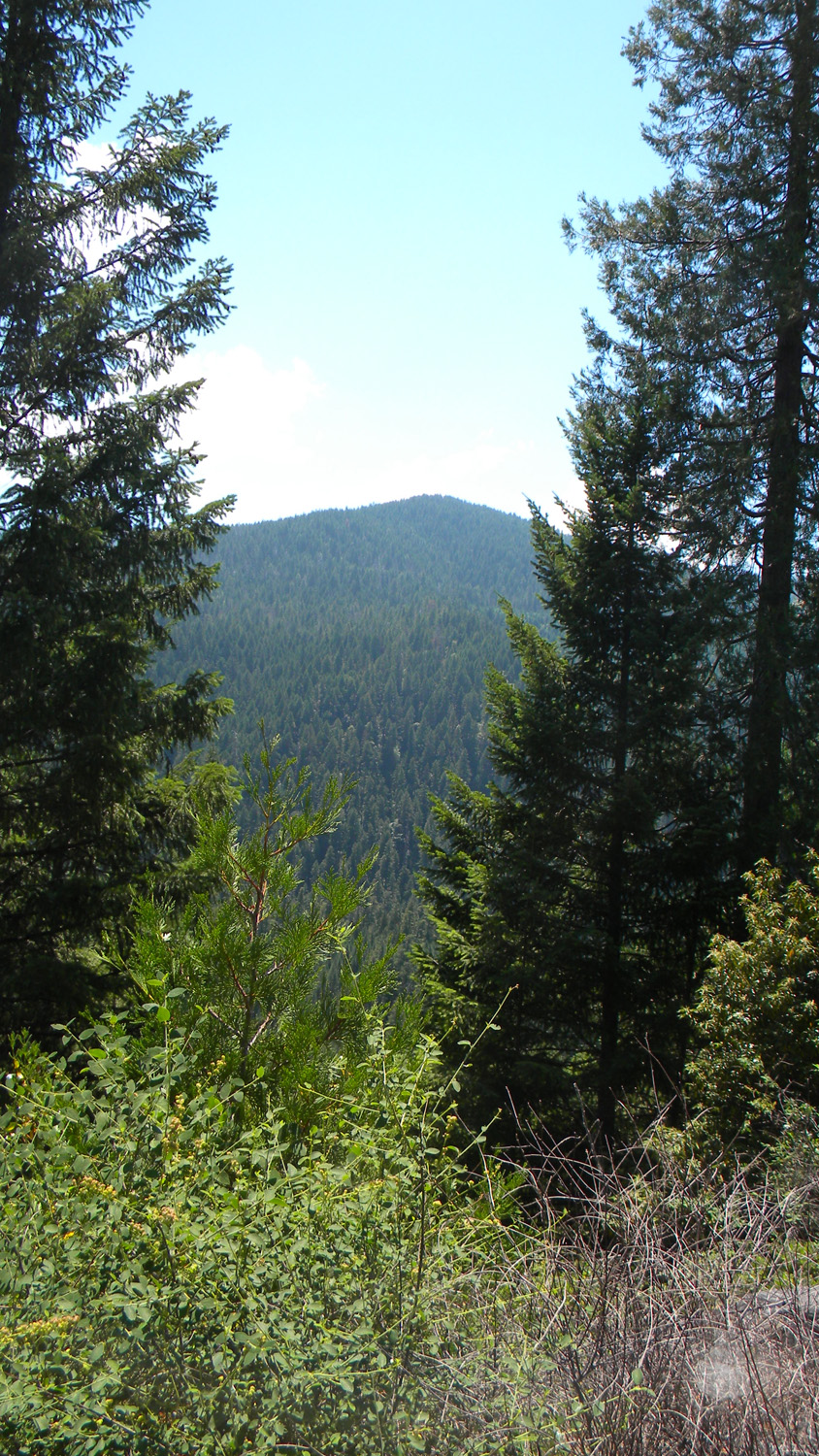
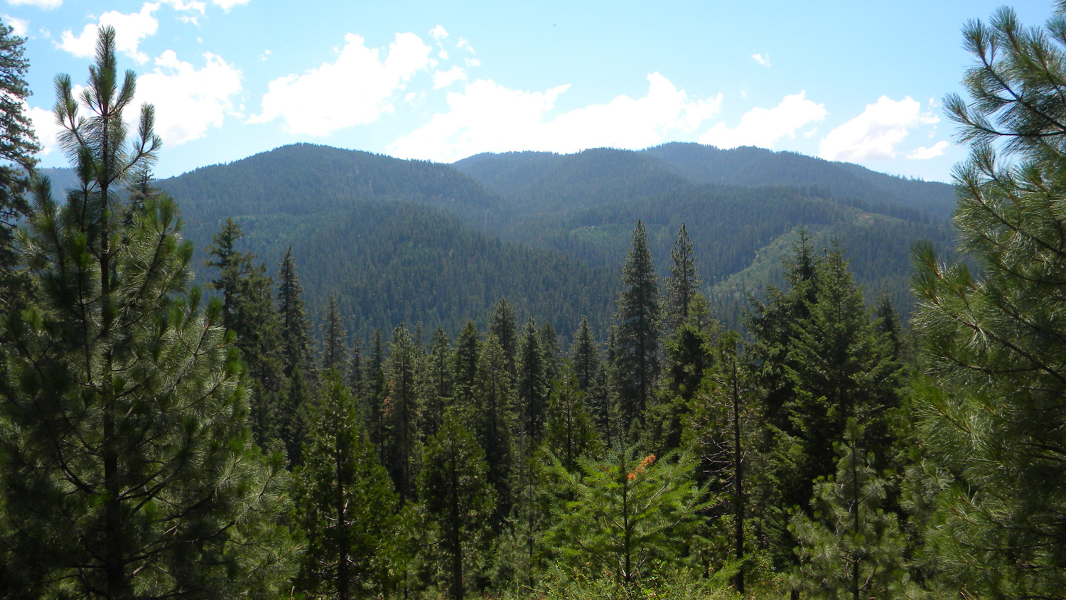
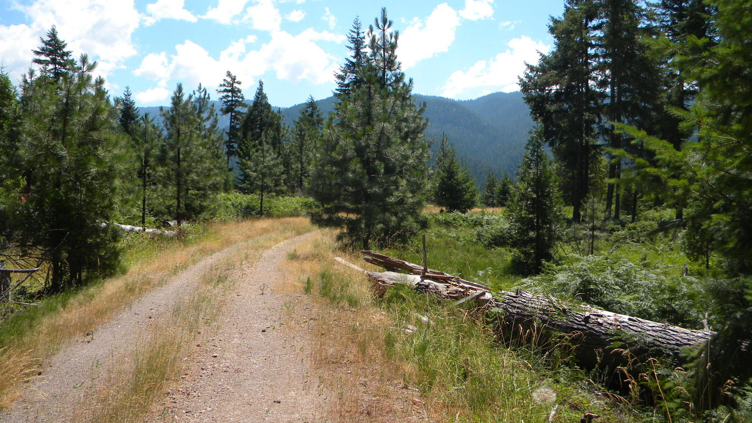
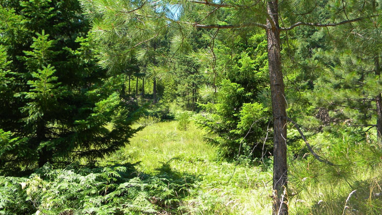
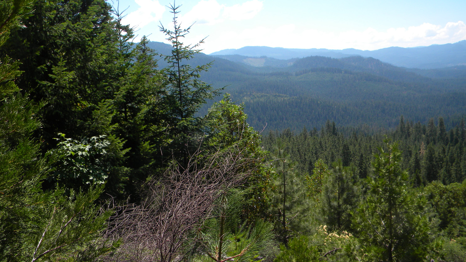
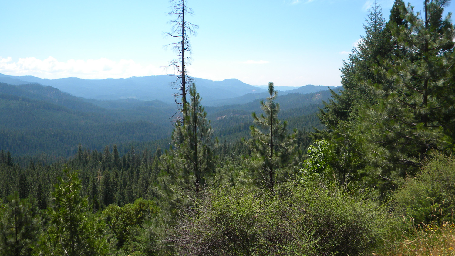
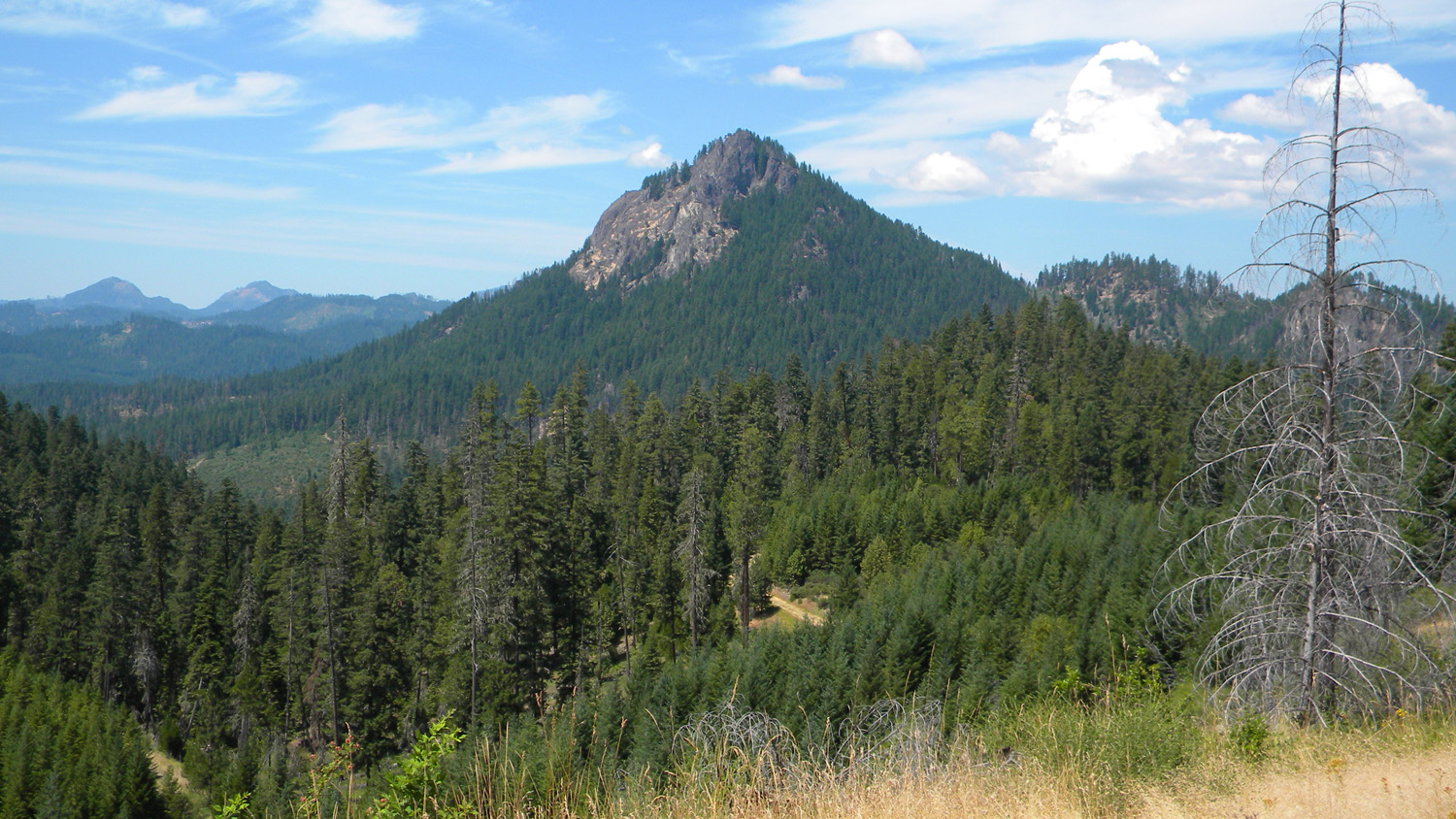
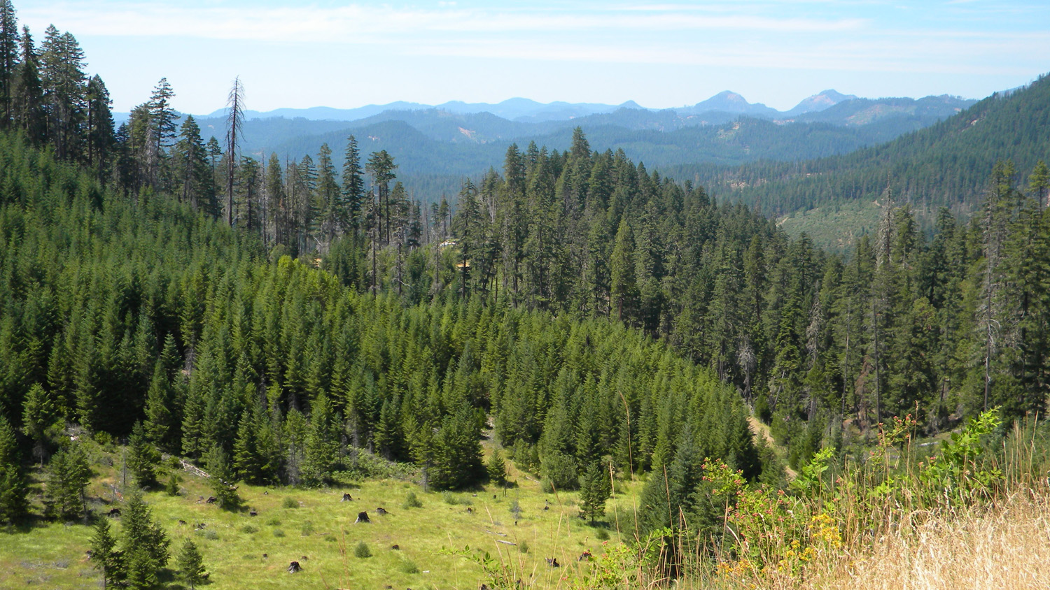
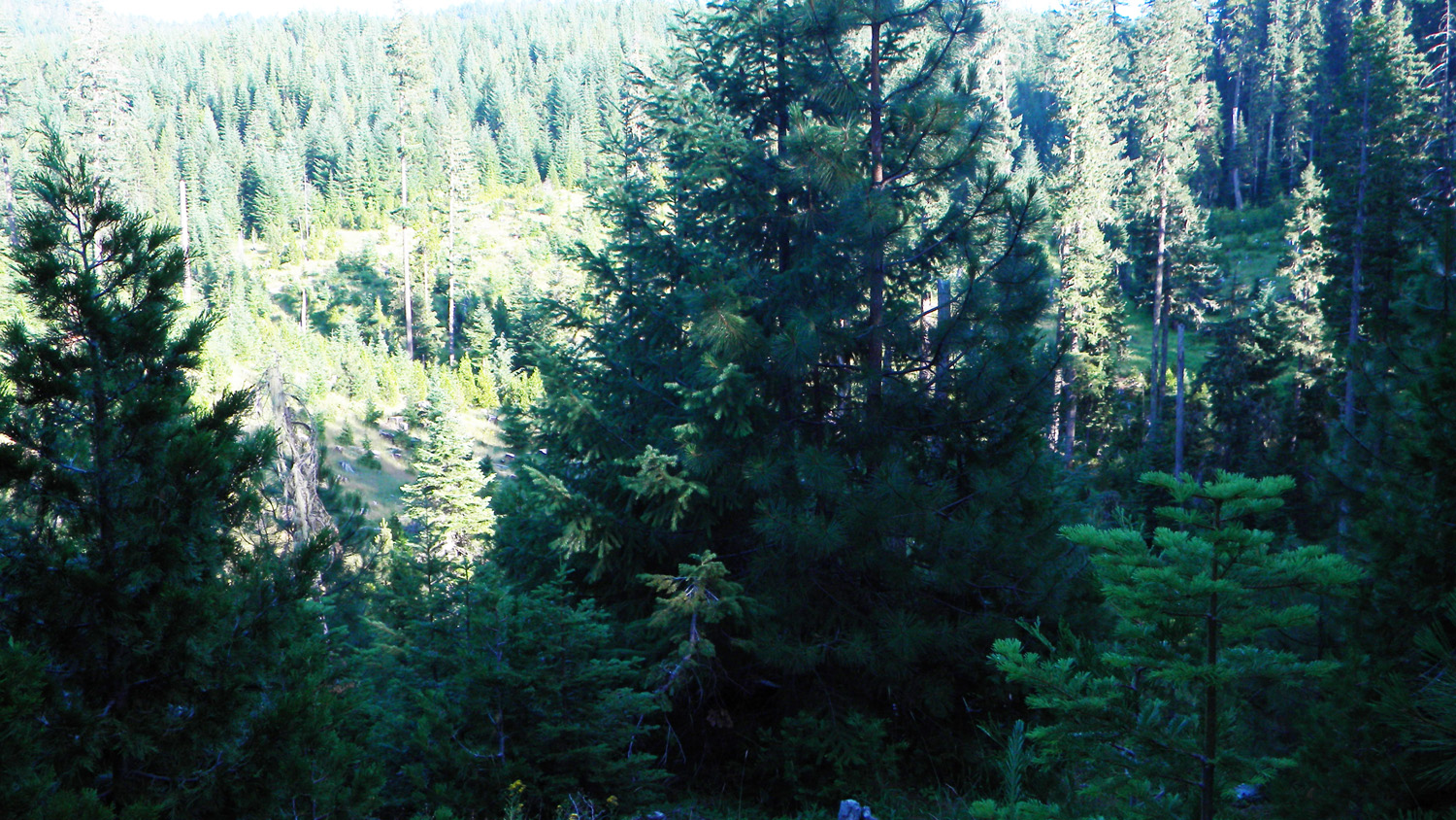
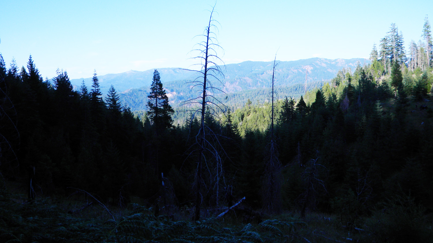
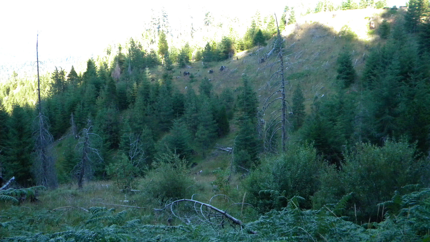
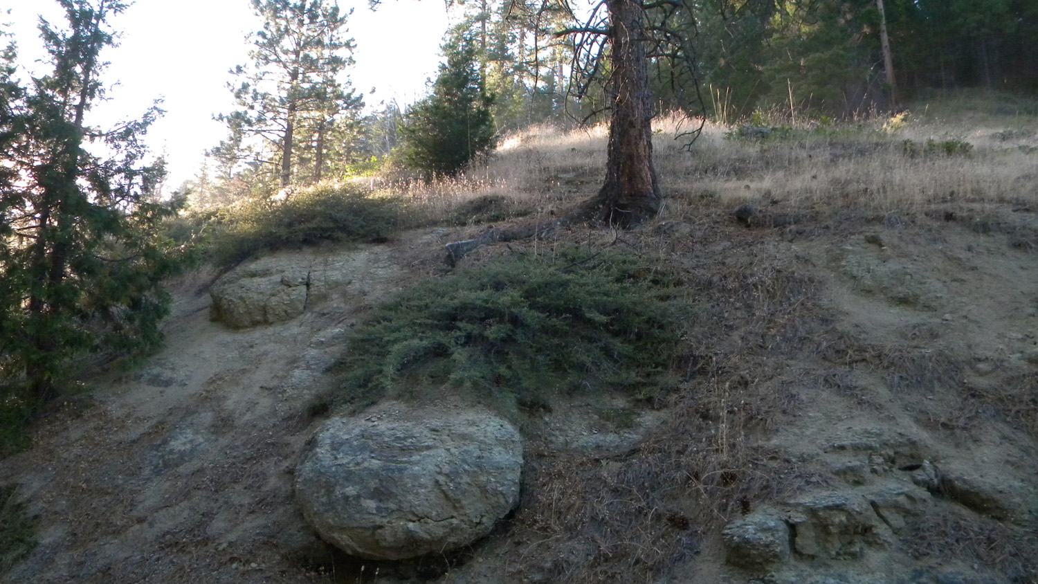
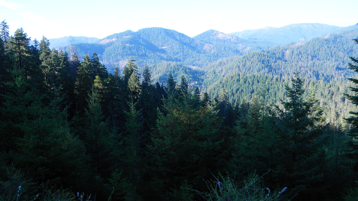
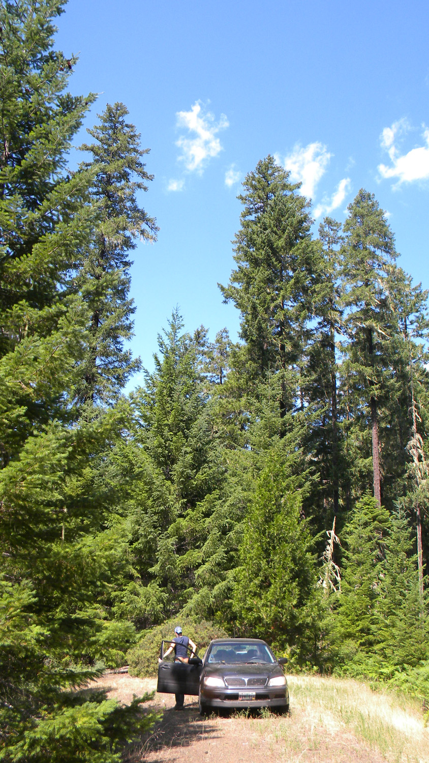
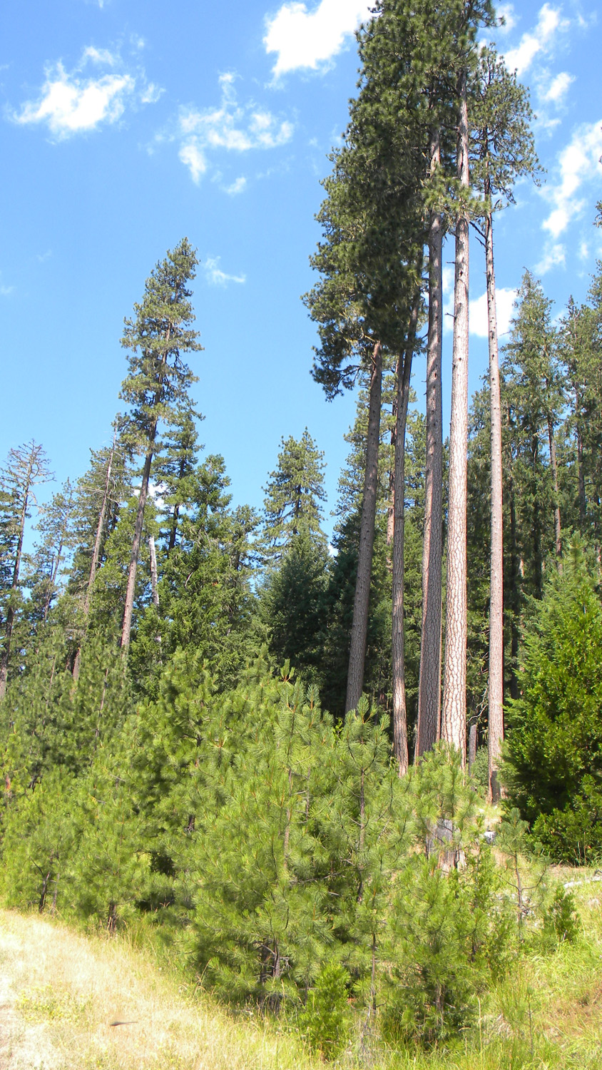
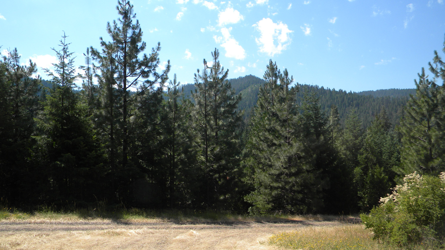
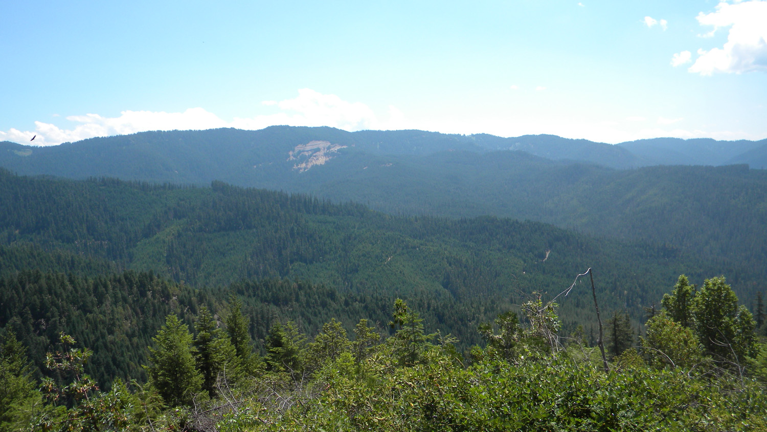
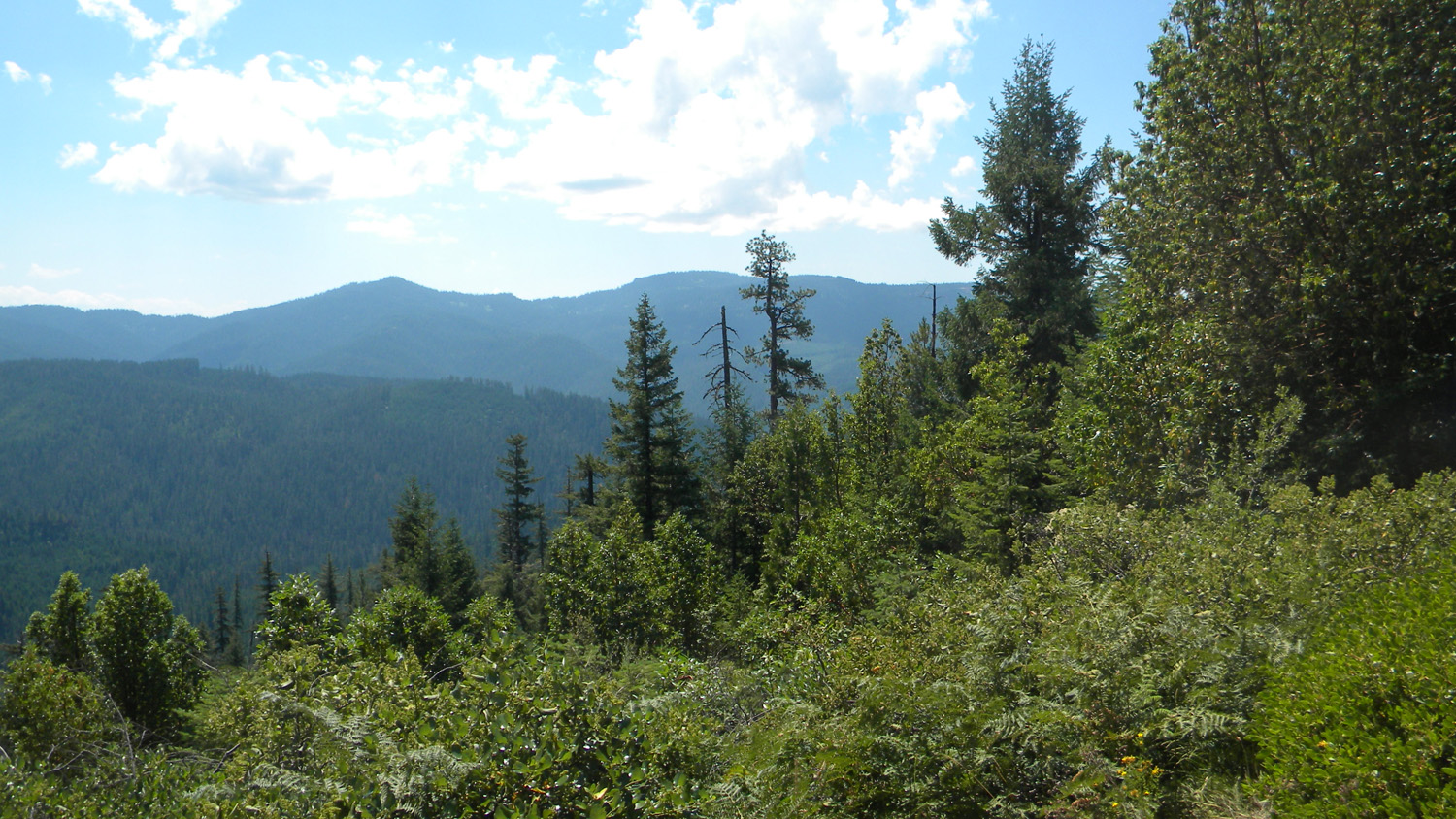
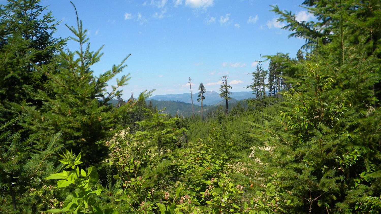
This page includes specific maps and aerial photographs of Pickett Butte, panoramas and QTVR video files constructed from the 2010 field research studies, and individual historical and 2010 documentary photographs showing current condtions, native plants and animals, and other points of interest related to this study area.
Panoramas and QTVRs
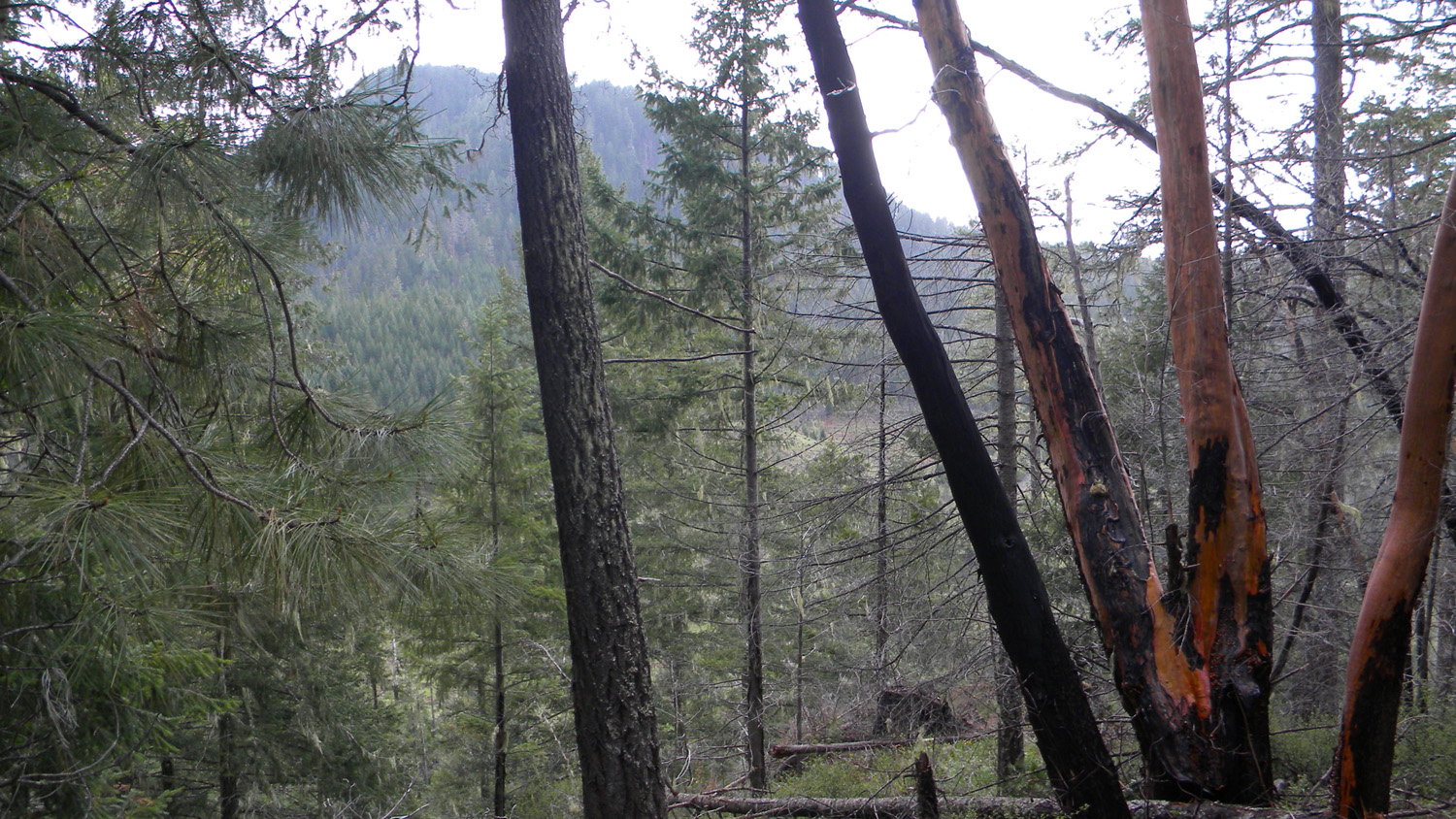
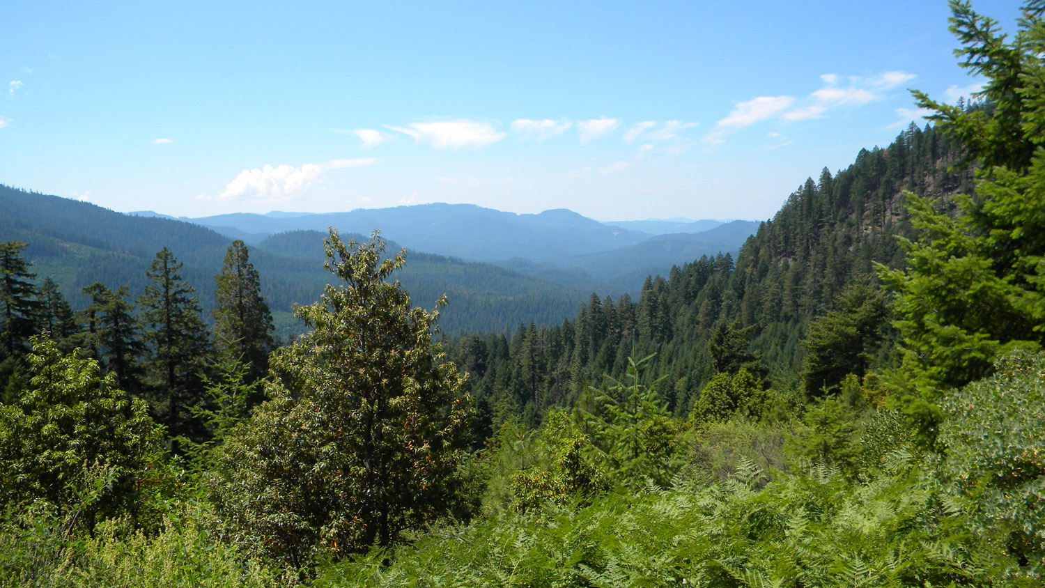
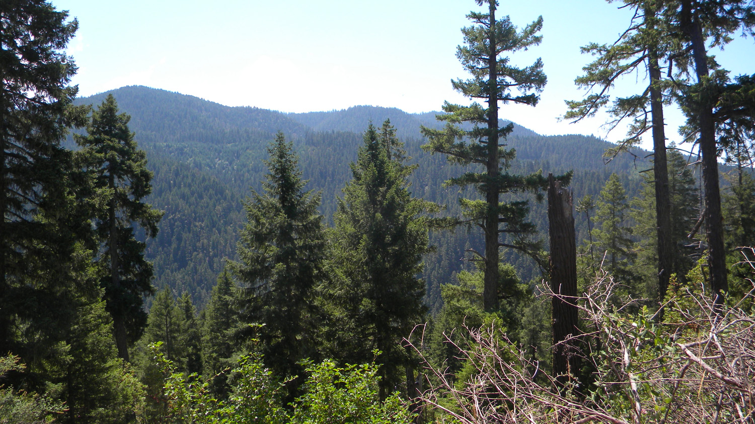
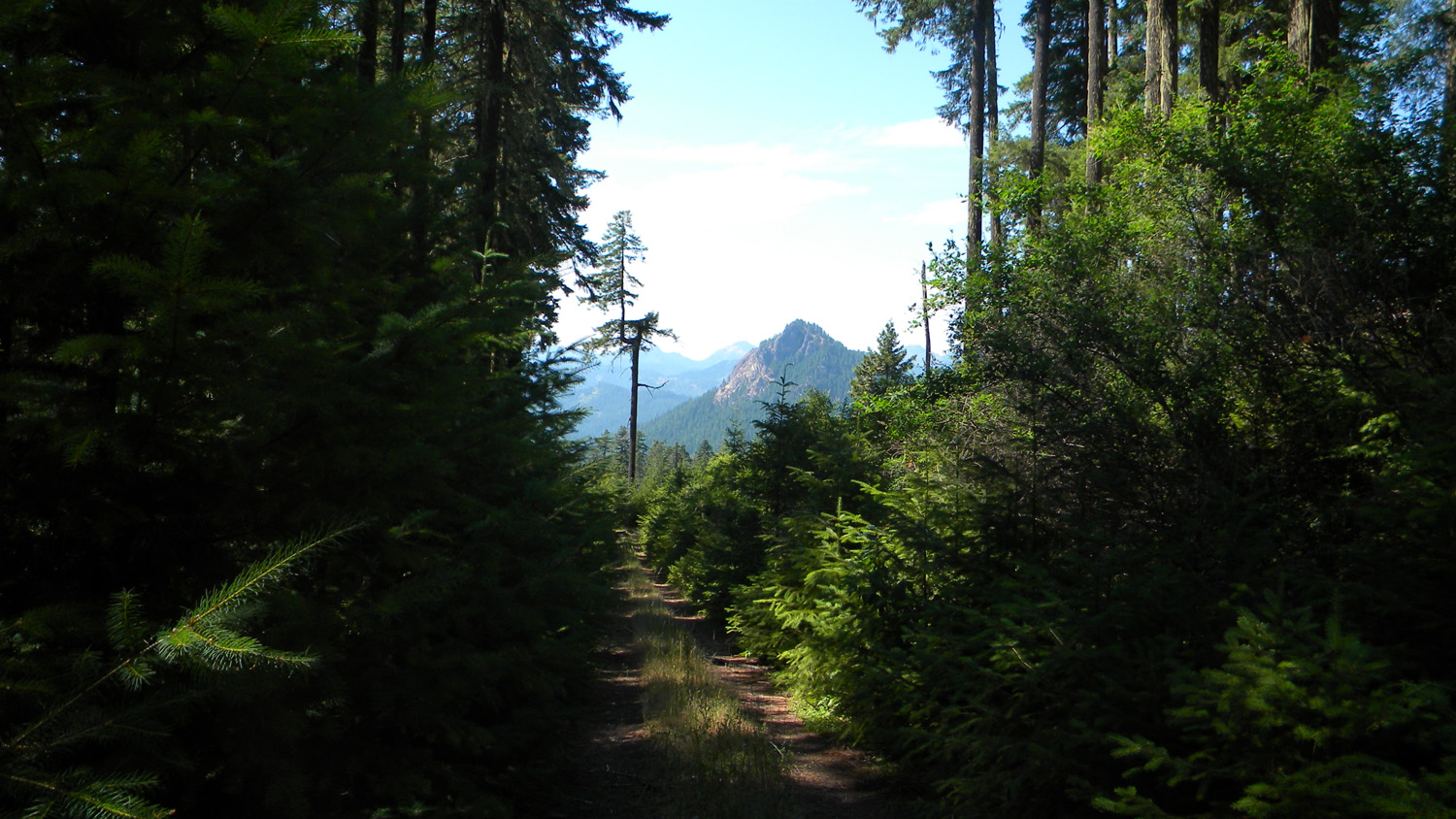
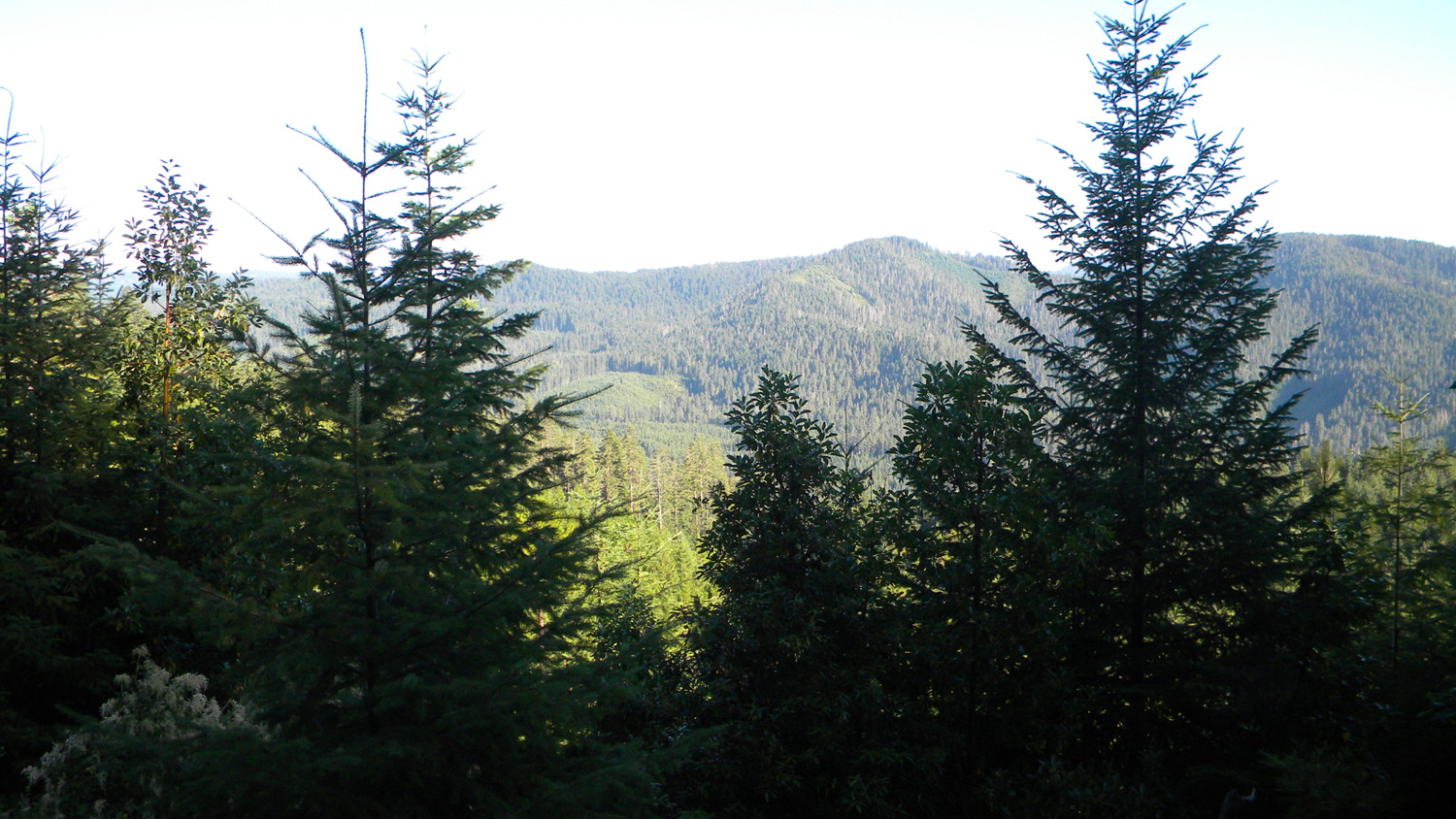
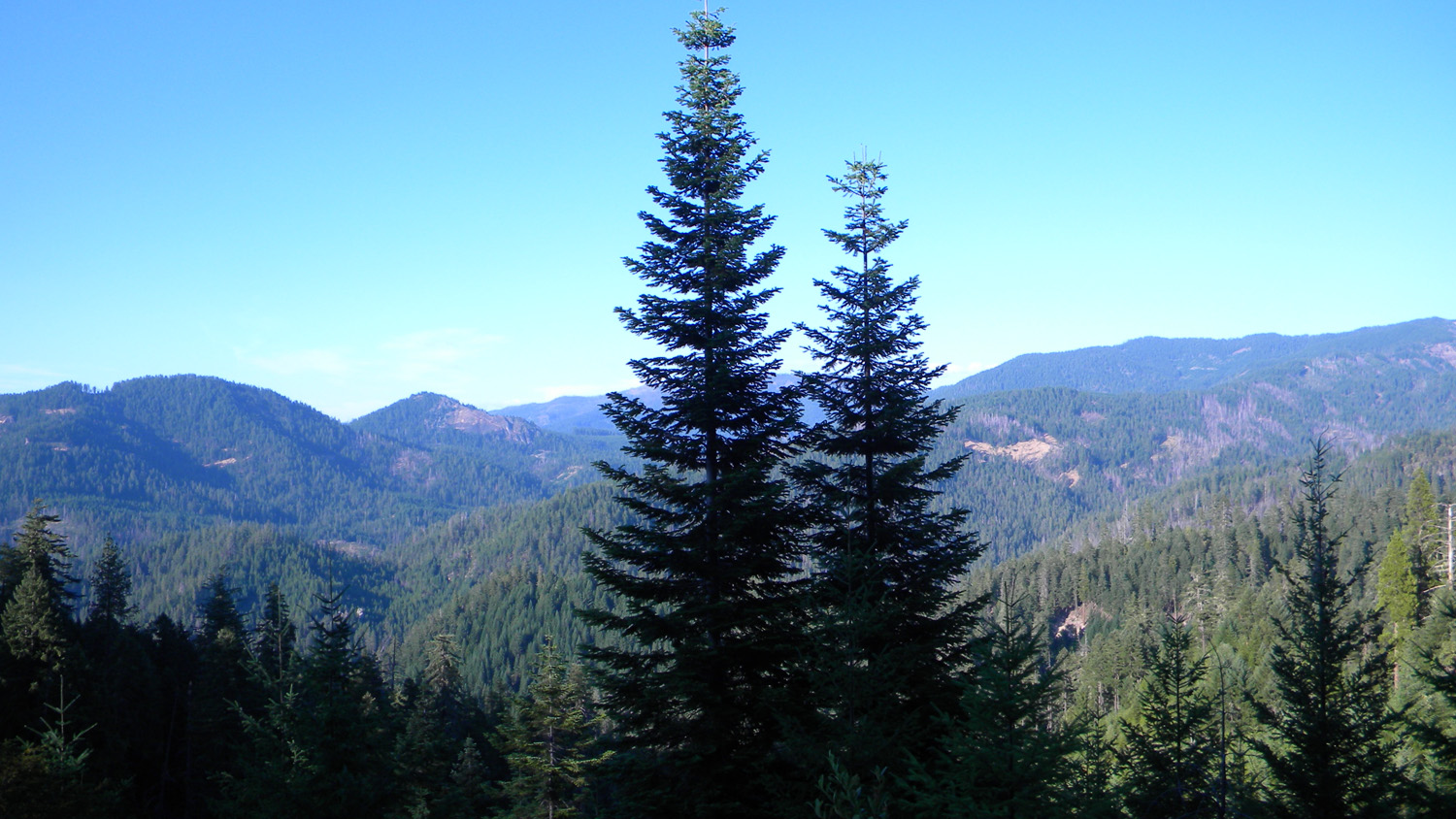
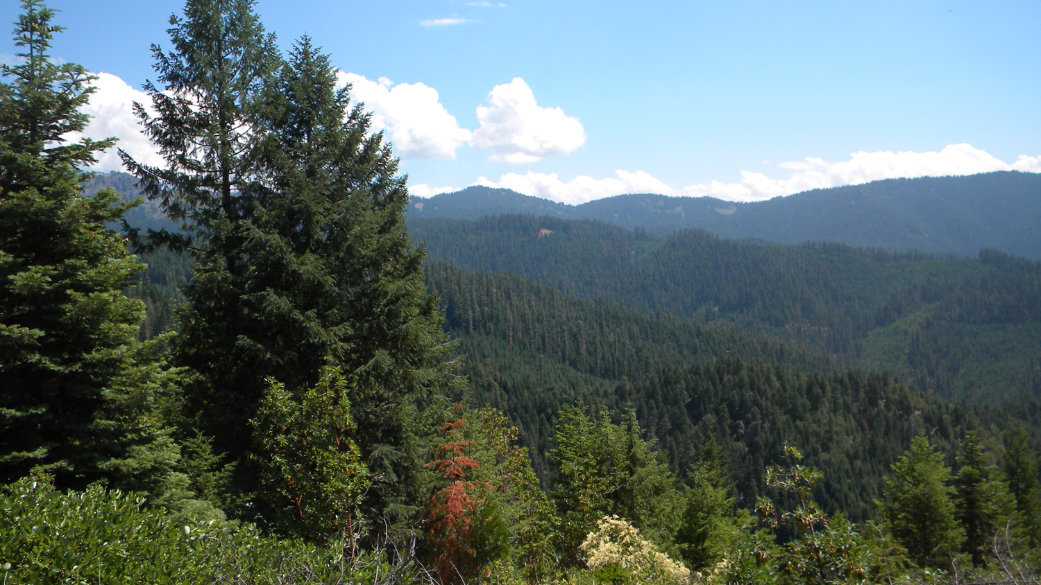
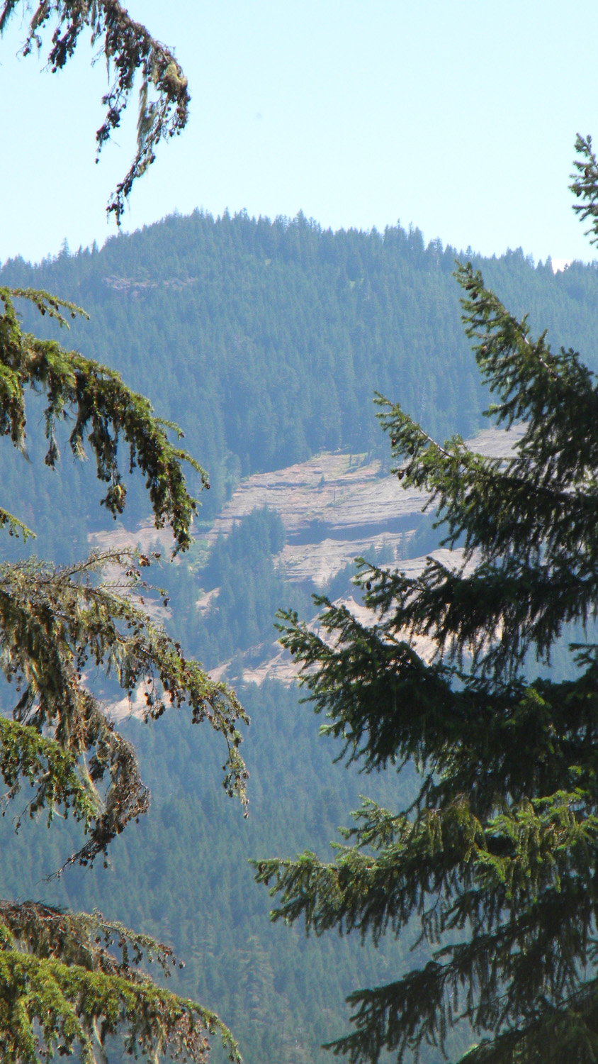
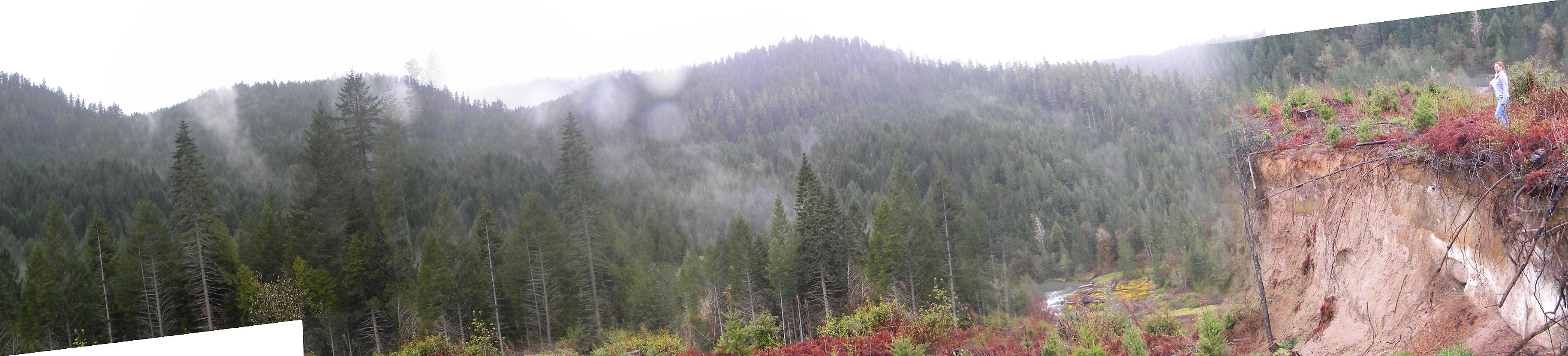
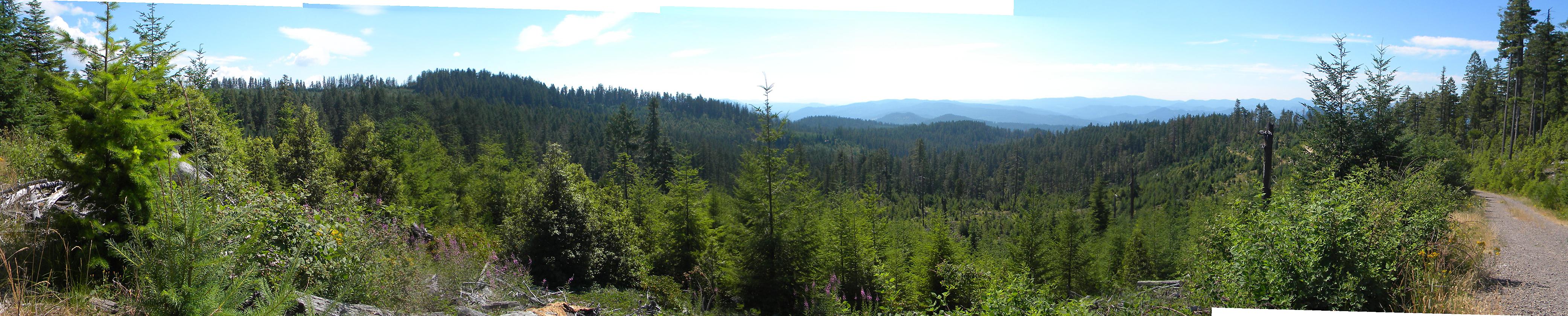
1710-1719_Old_Growth-360
|
||
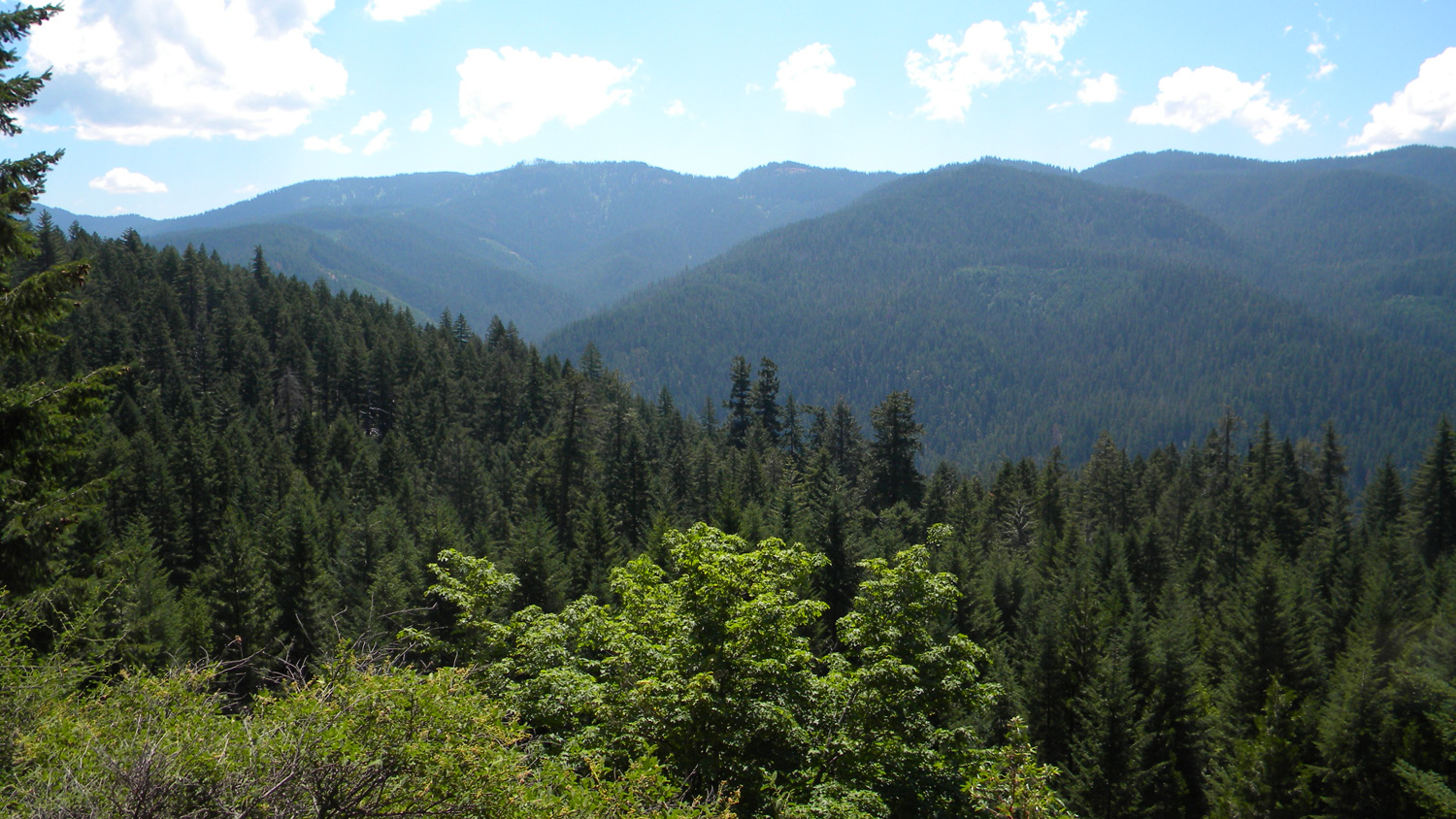
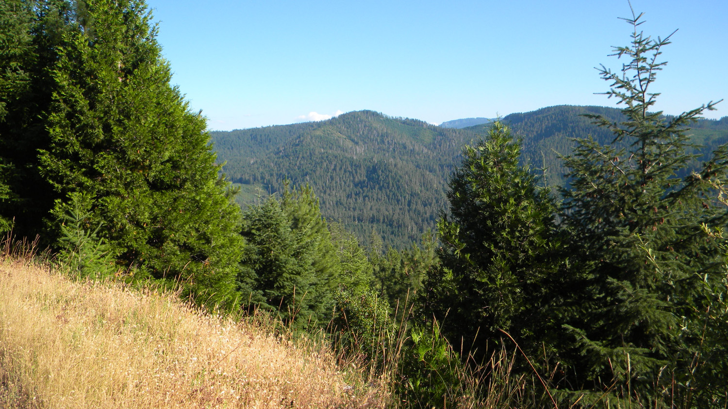
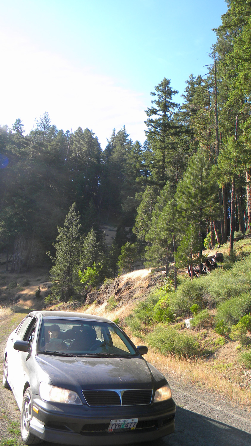
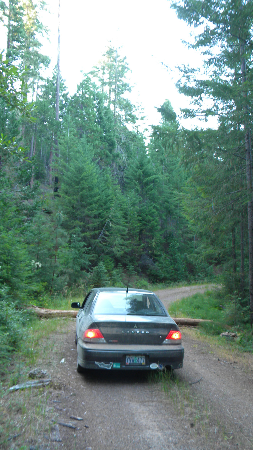
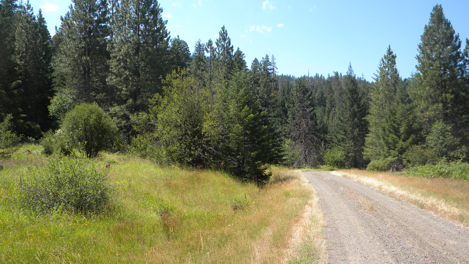
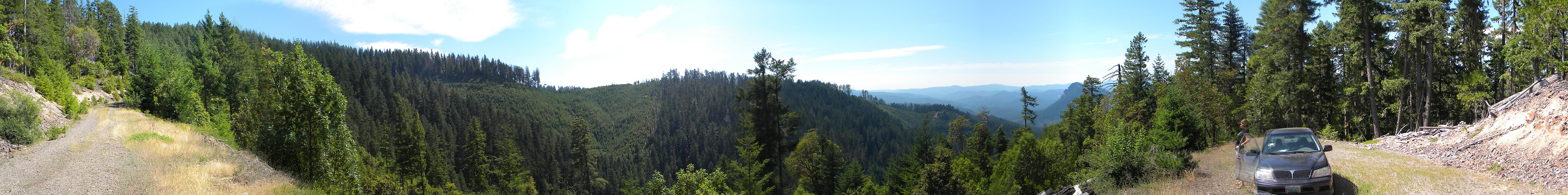
1762-1766_2929_Road-180 |
||
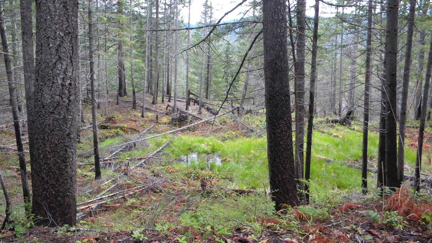
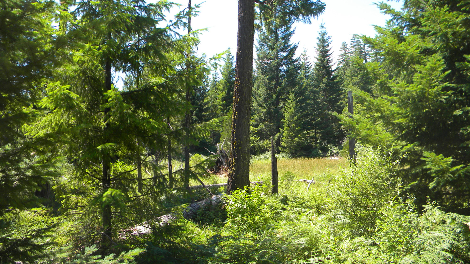
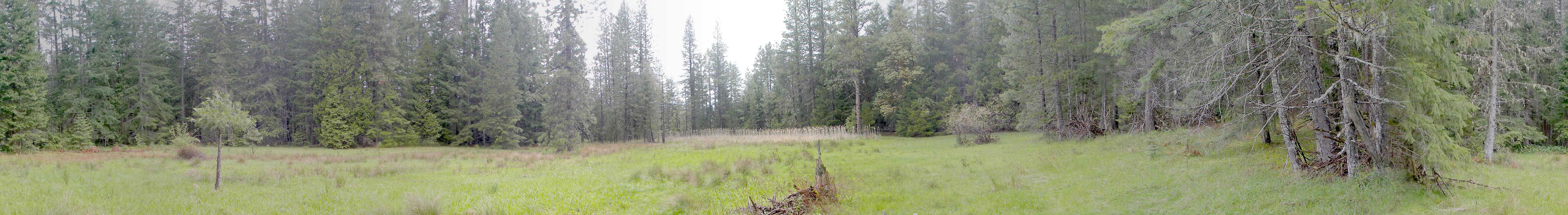
3351-3356_Wetland-180 |
||
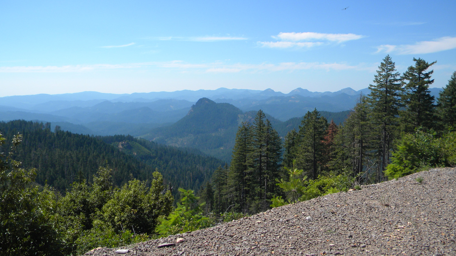
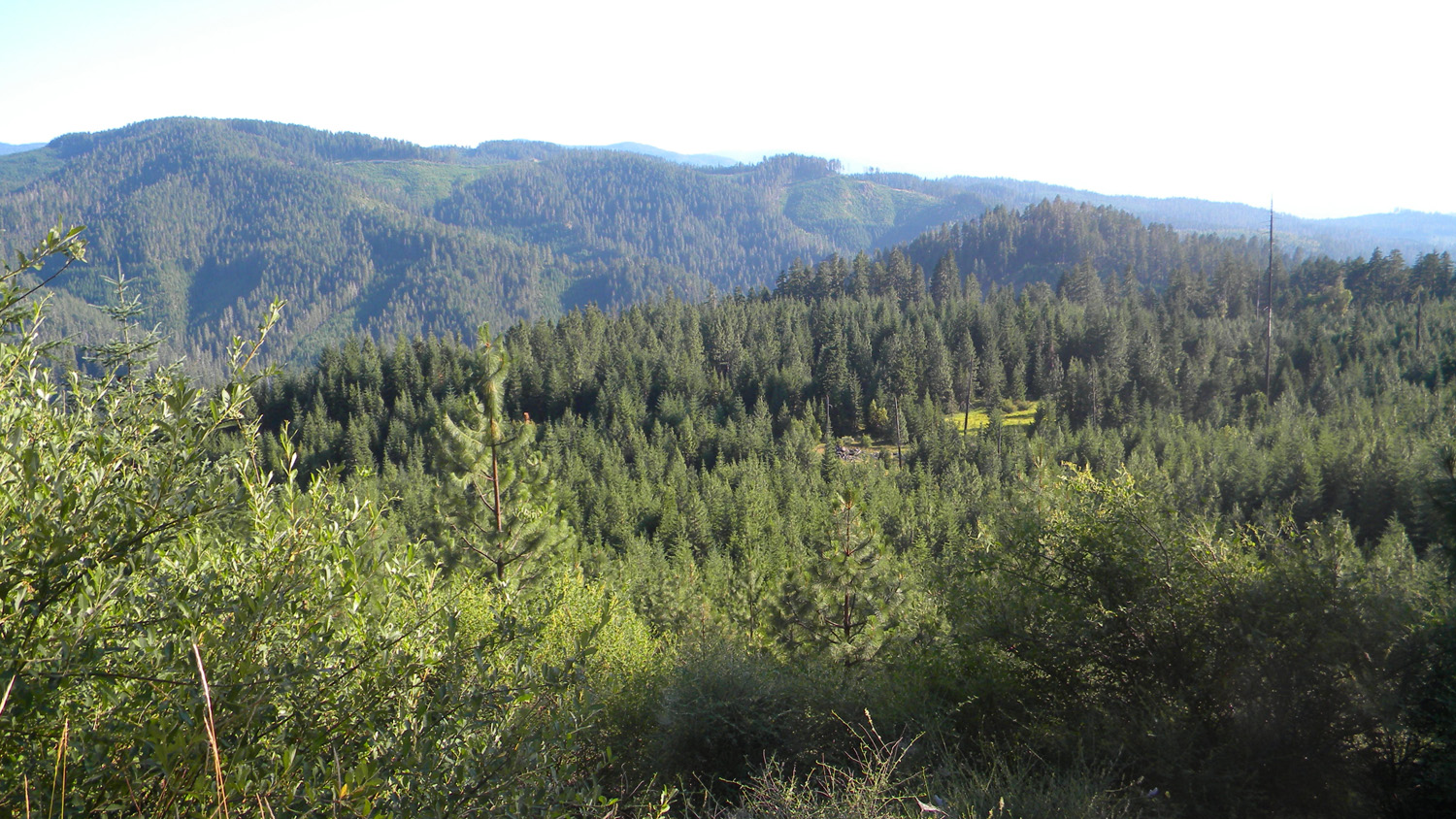
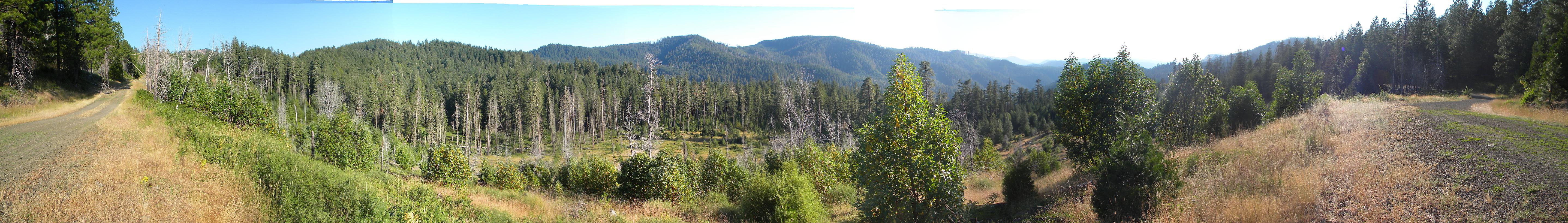
5076-5086_600_Road_End-360 |
||
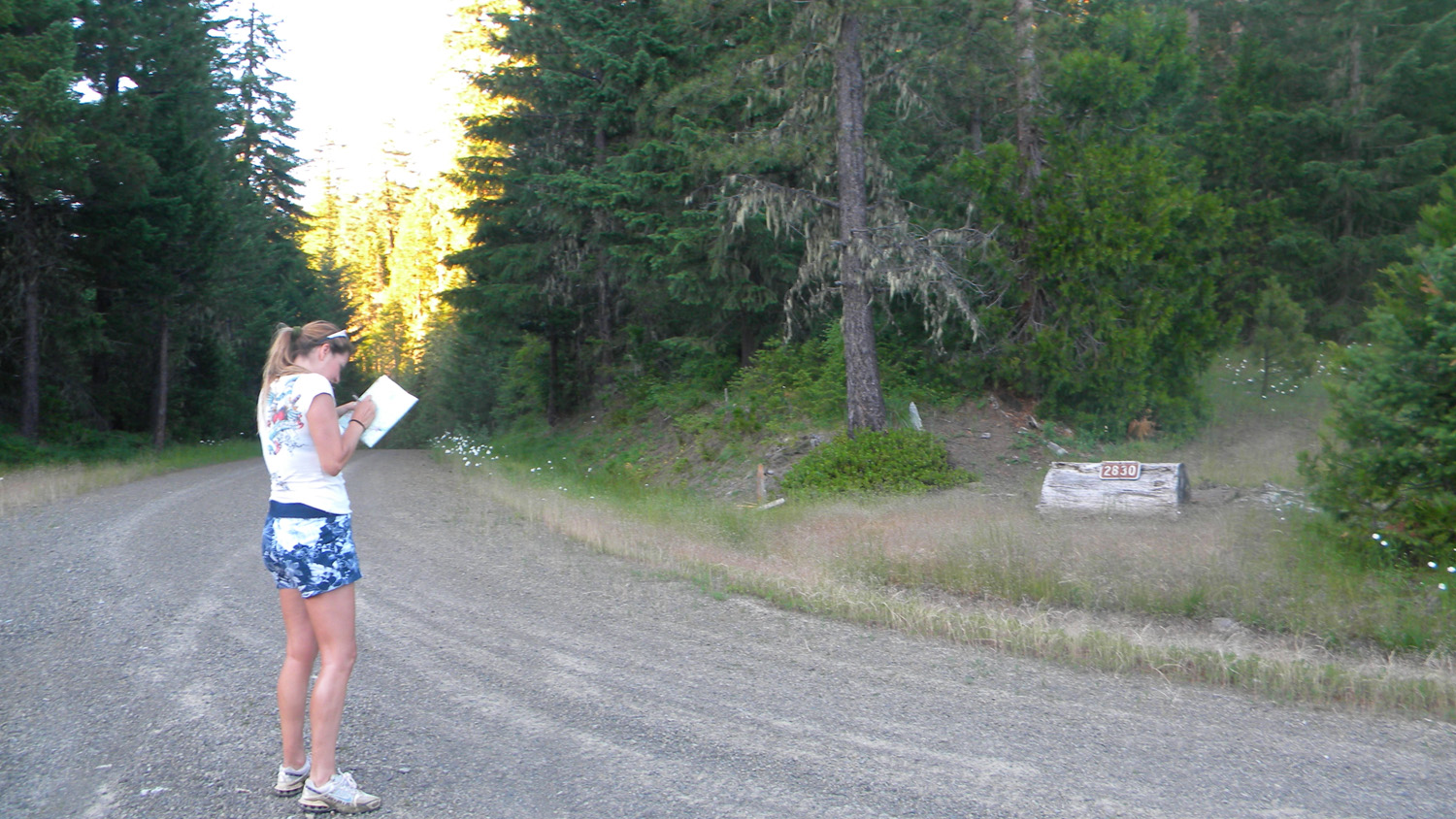
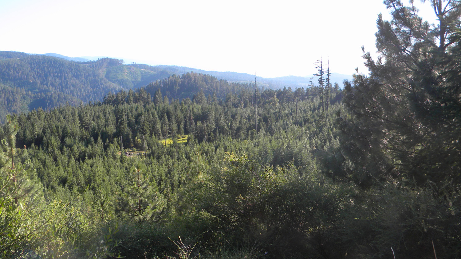
5091-5097_2830_800-180 |
||
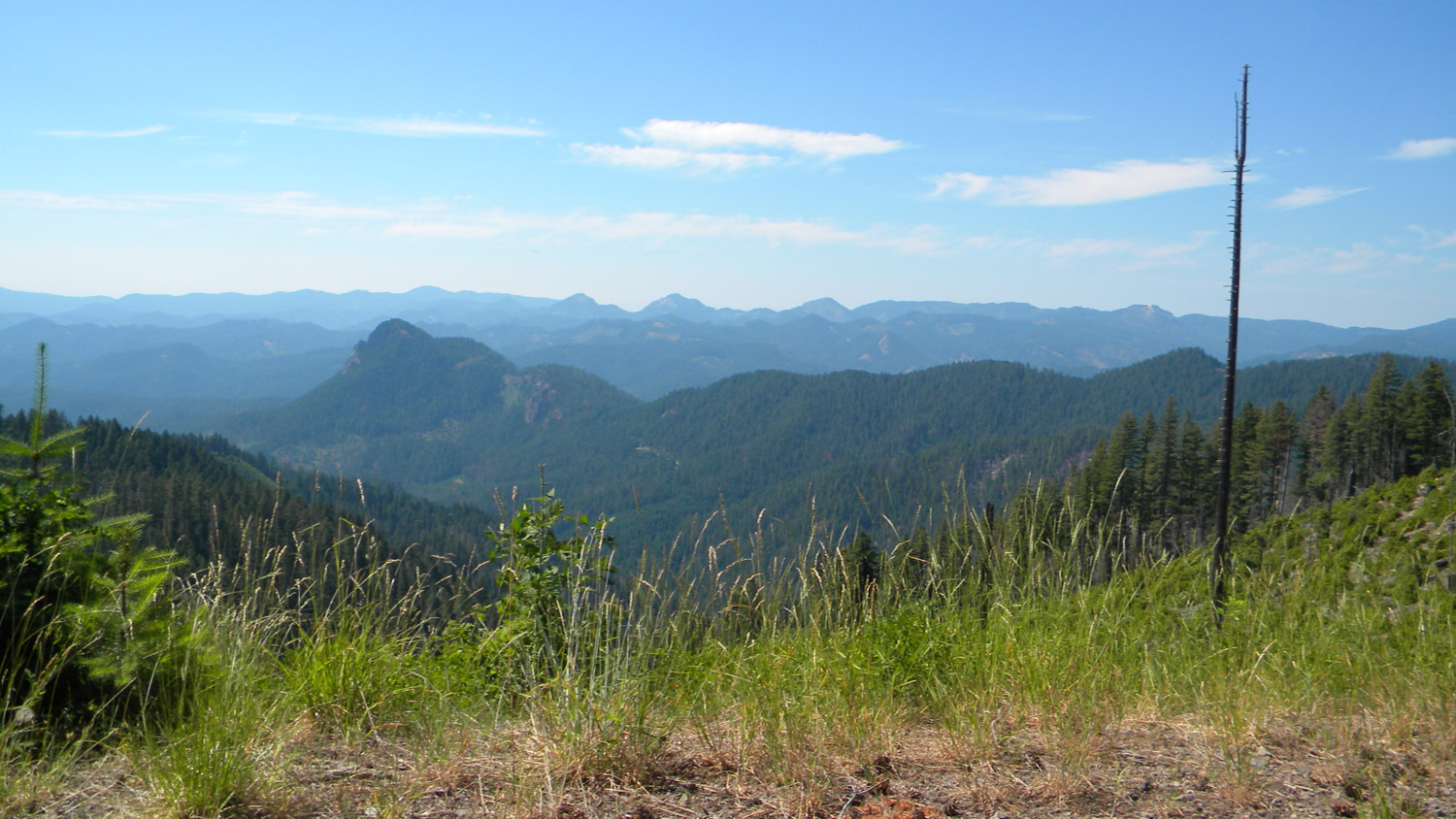
5985-5993_201_Road_View-360 |
||
5998-6000_900_Road_View-180 |
||
6011-6016_817_Road_End-180 |
||
6019-6022_817_Road_View-180 |
||
6024-6029_815_Road_End-180 |
||
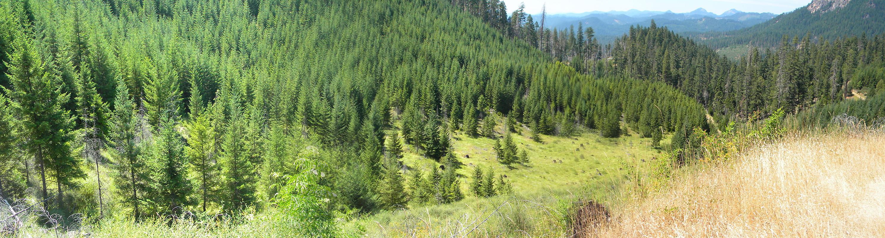
6048-6056_Elk_Camp-360 |
||
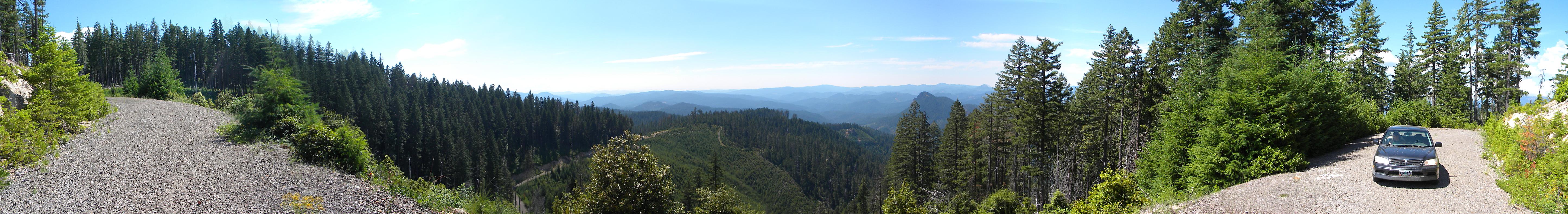
6075-6080_800_Road_View-180 |
 |
 |
 |
 |
 |
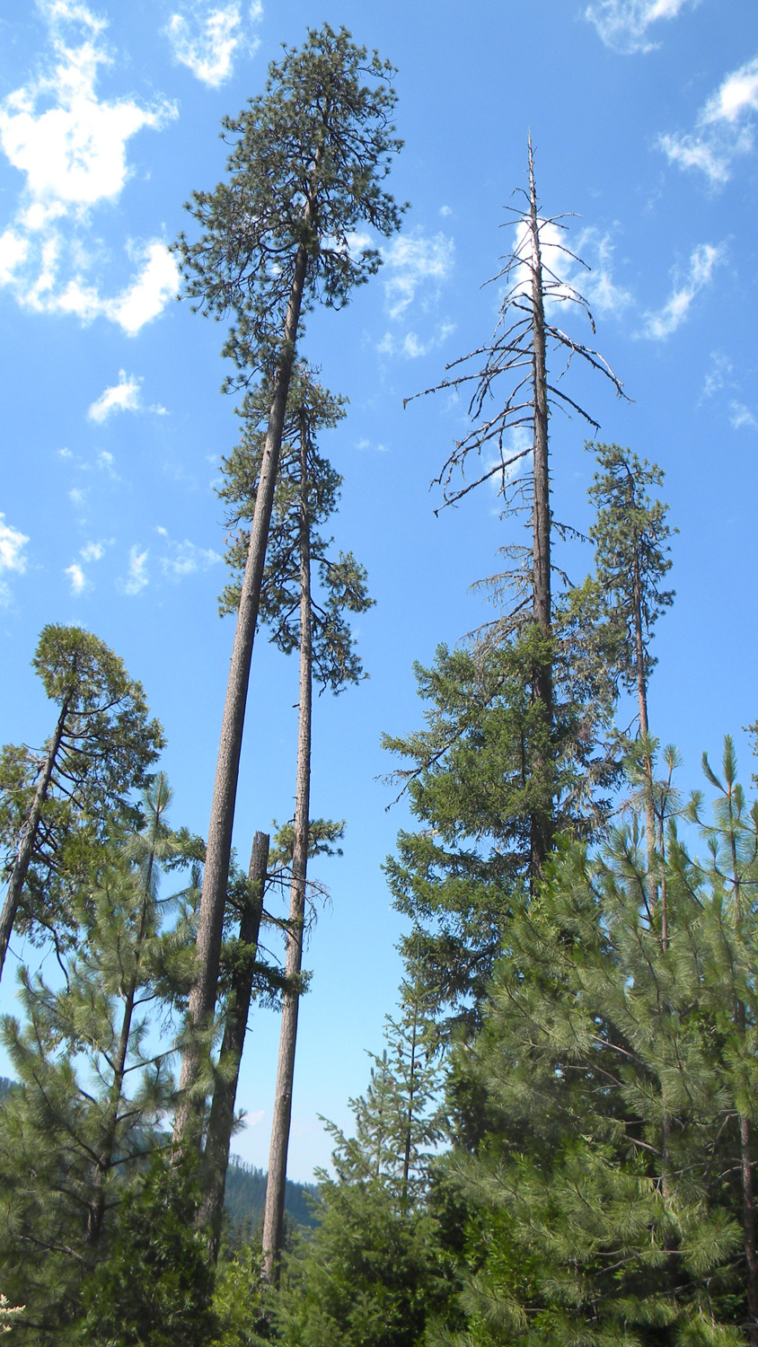
1715_Old_Growth
|
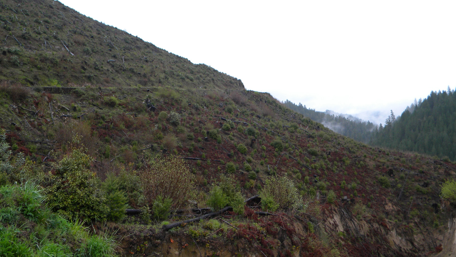
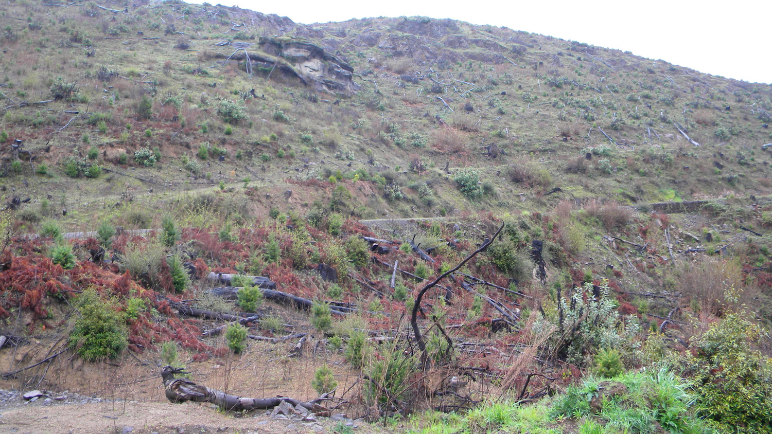
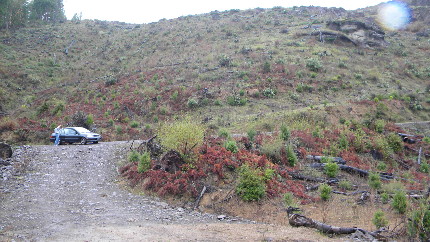
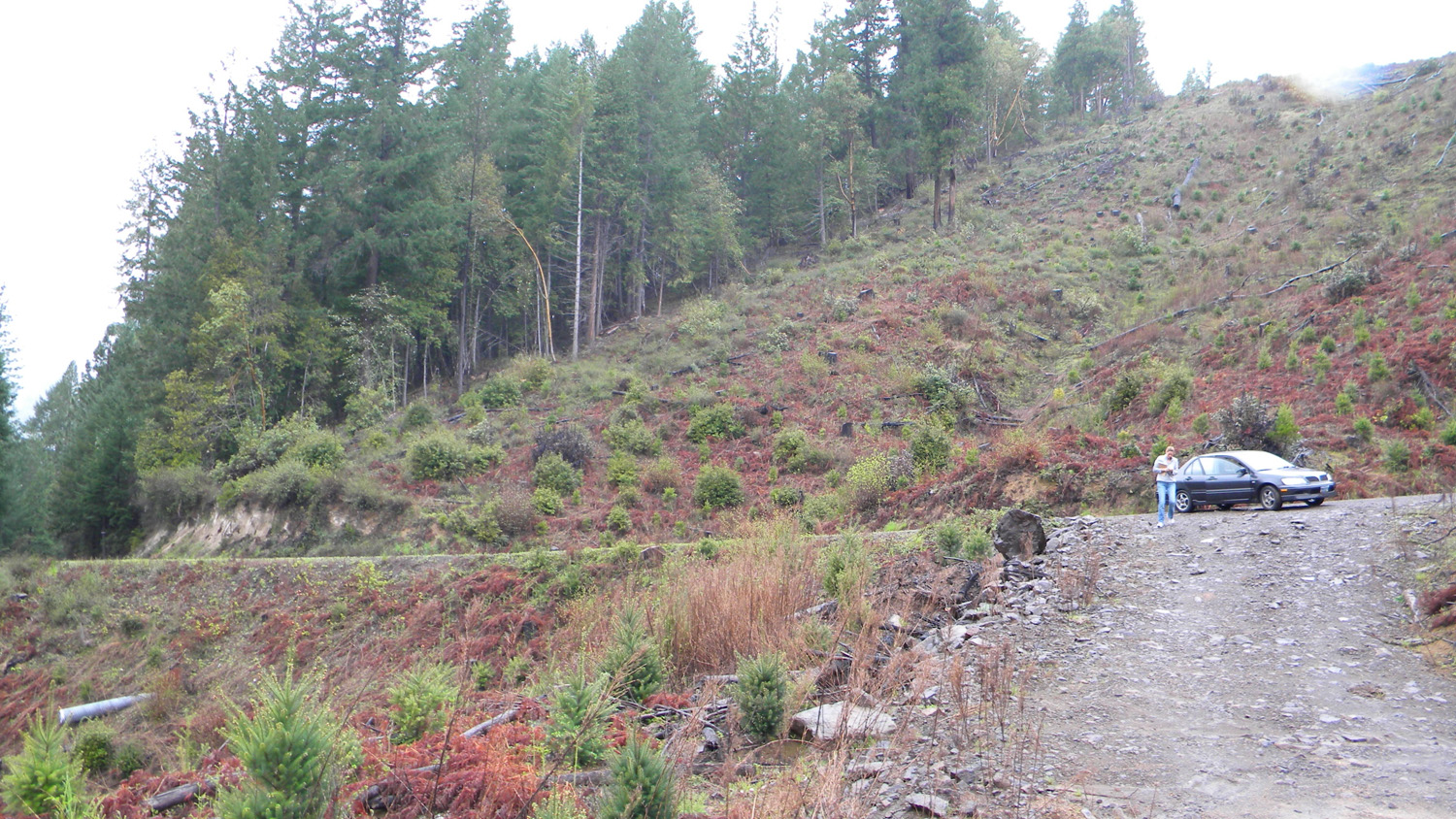
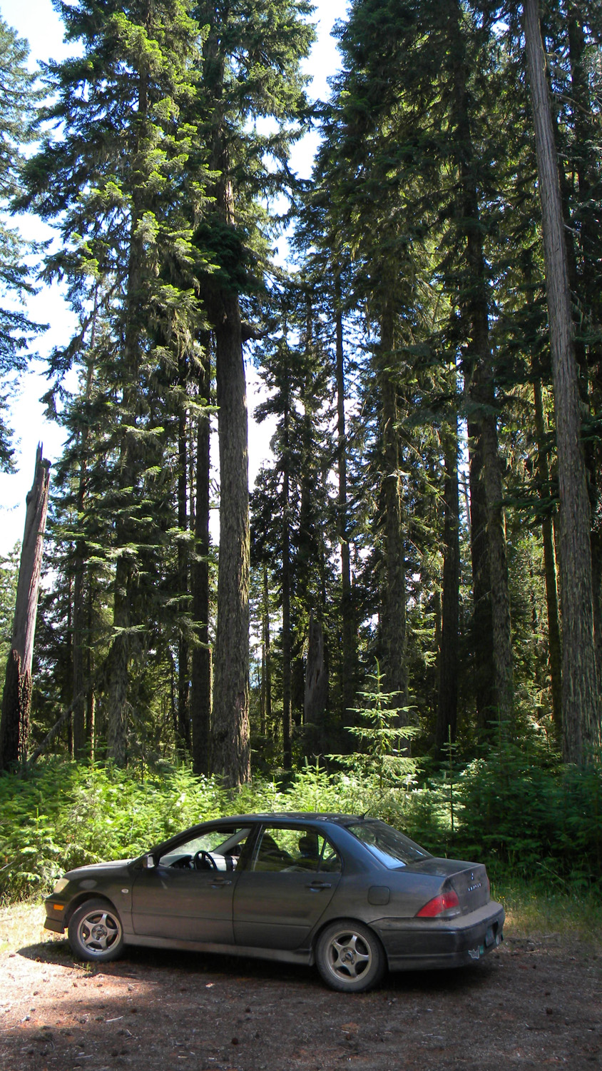
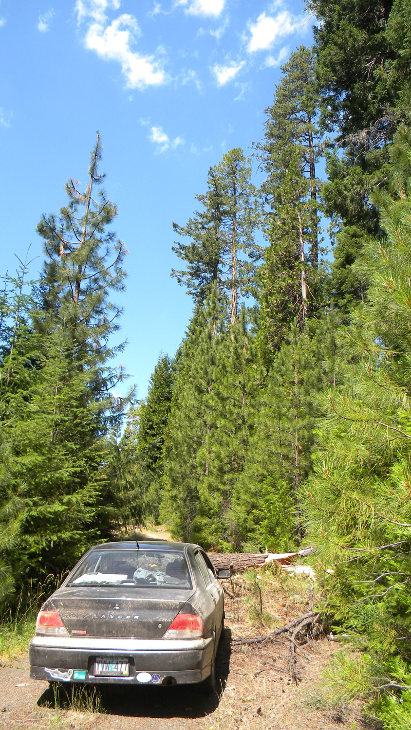
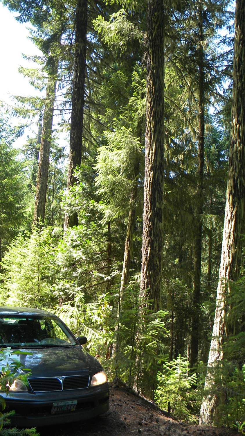
1753_2929_Road_View
|
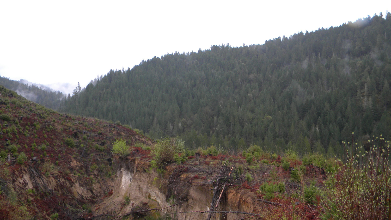
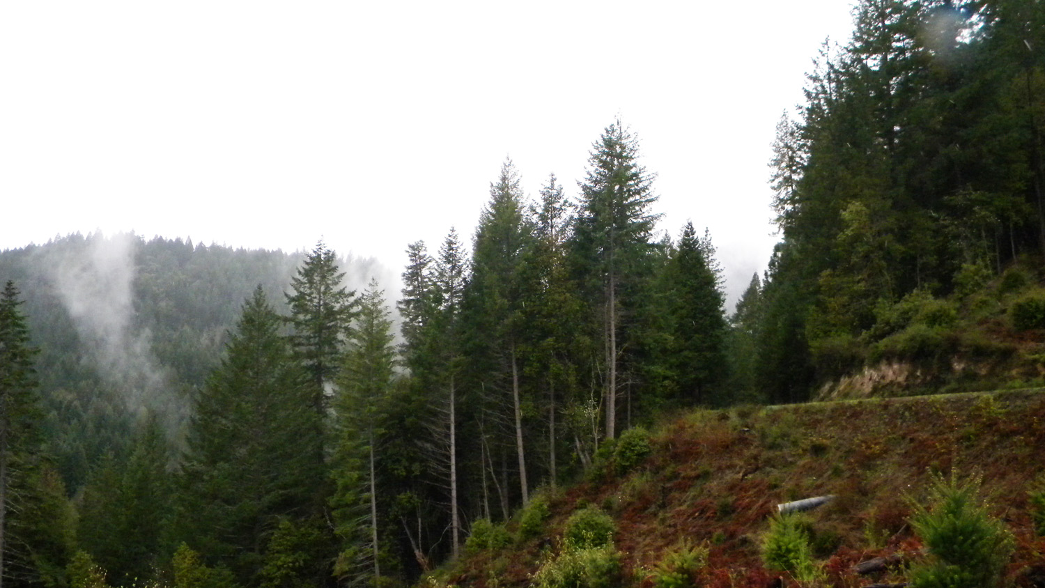
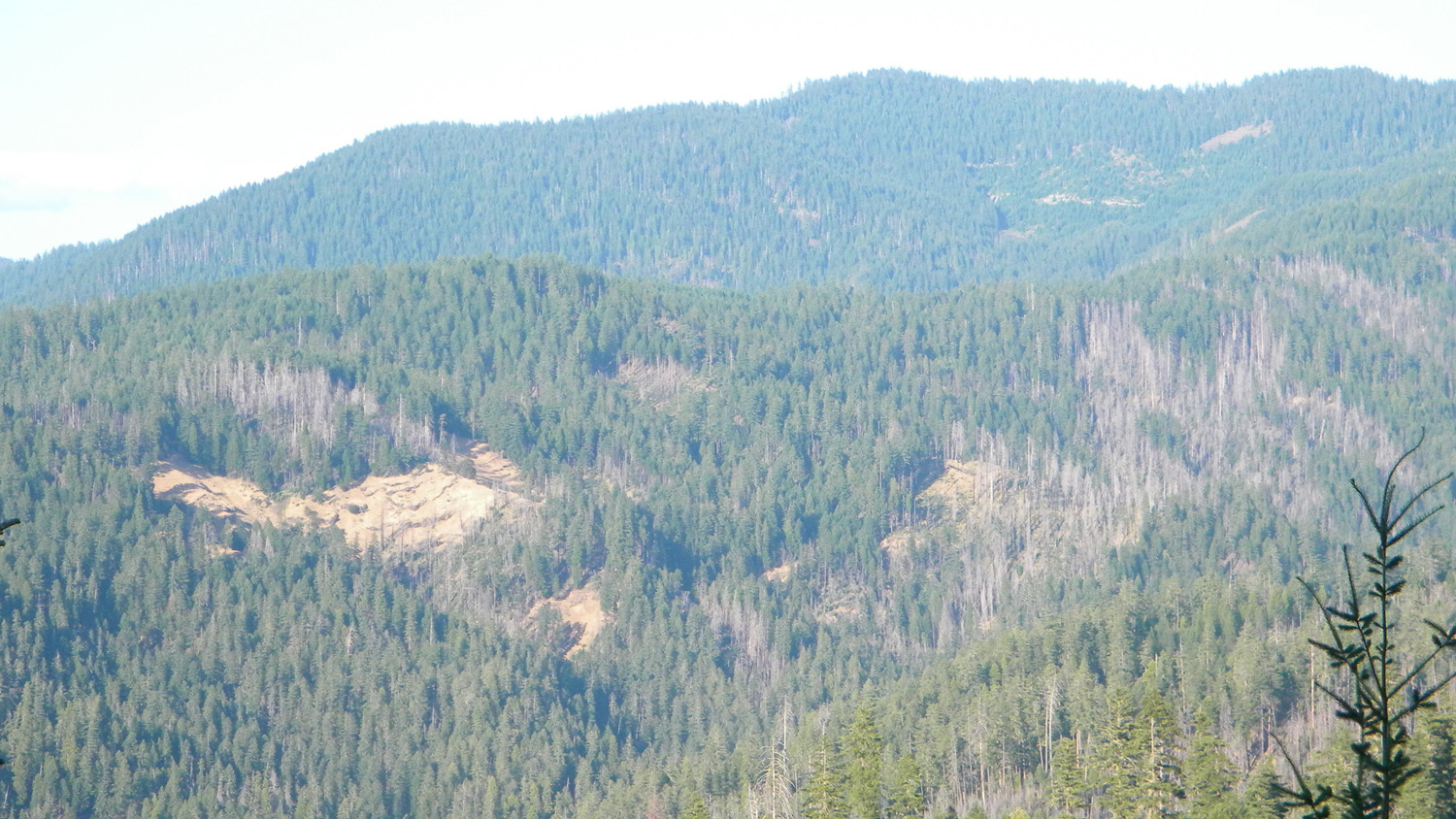
1754_Erosion
|
1756_Erosion
|
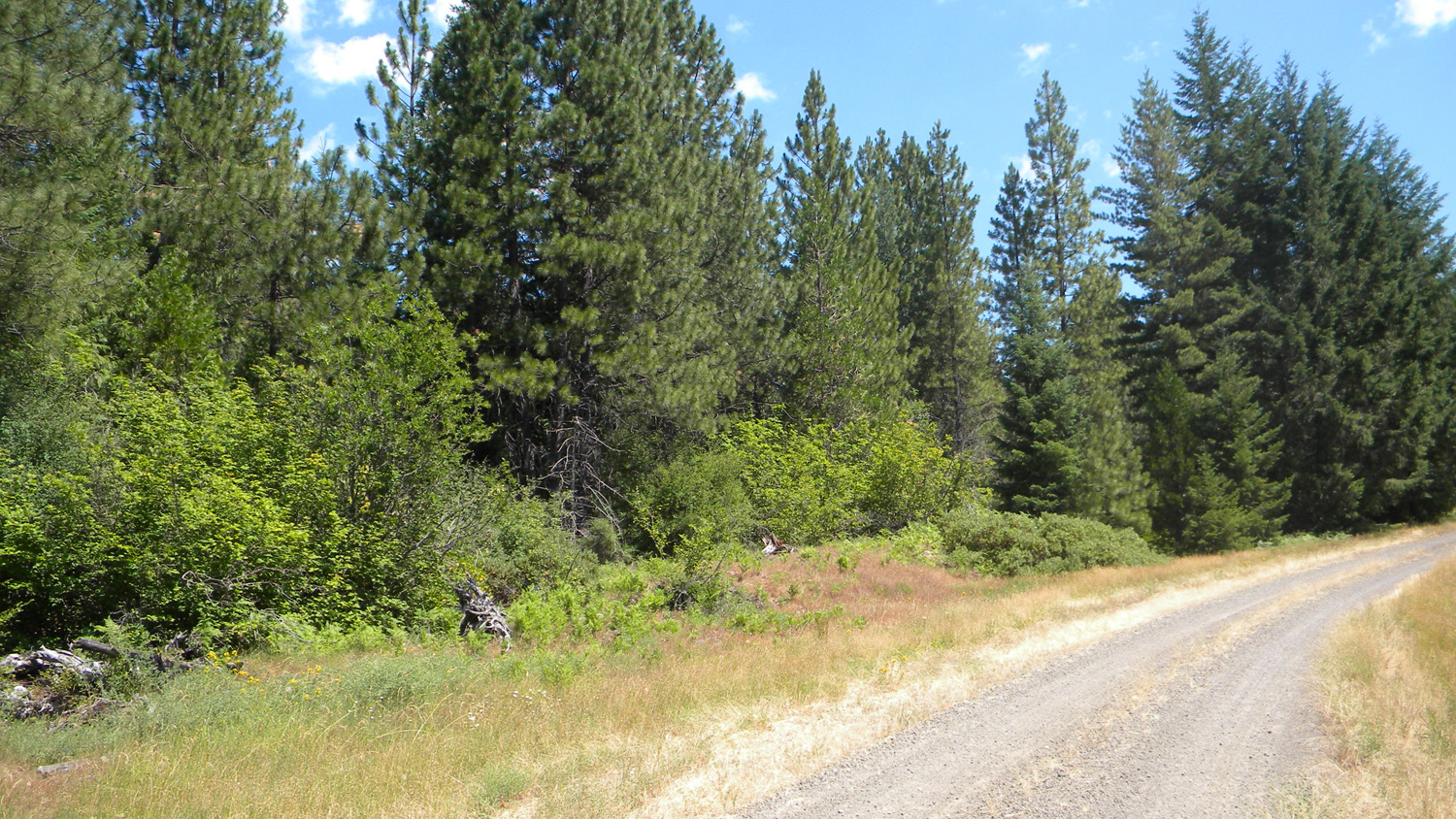
1757_2929_Road_View
|
 |
 |
 |
 |
 |
1758_2929_Road_View
|
1759_2929_Road_View
|
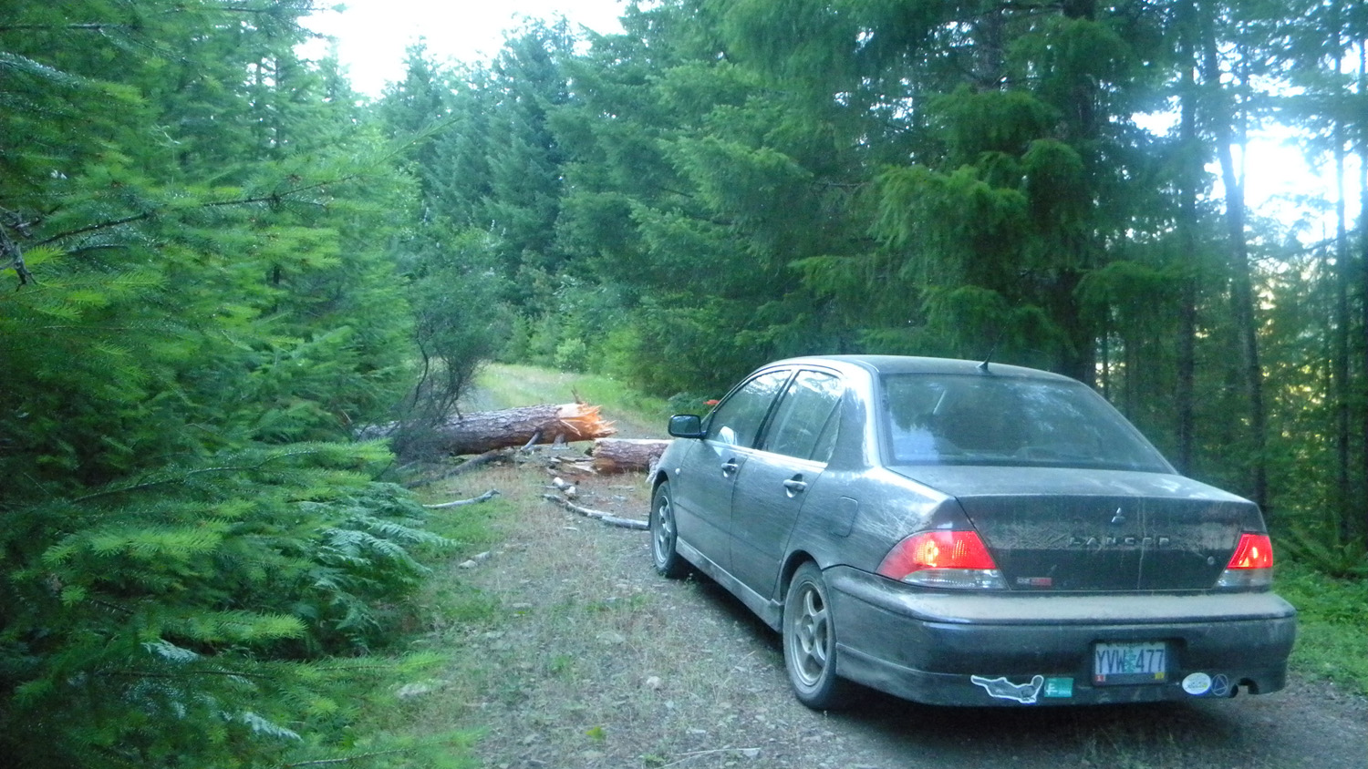
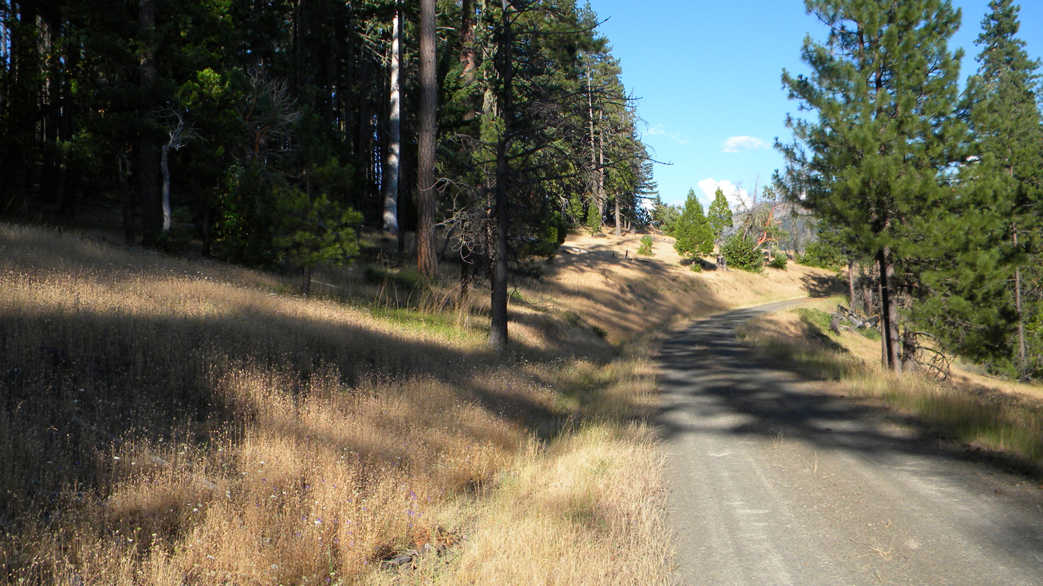
1760_2929_Road
|
1761_2929_Road
|
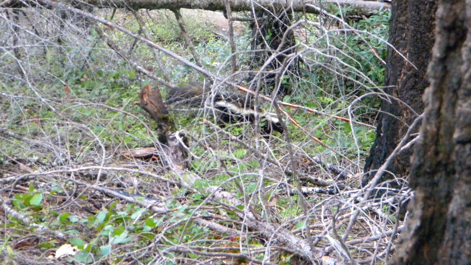
3267_Skunk
|
 |
 |
 |
 |
 |
3269_Young_Trees
|
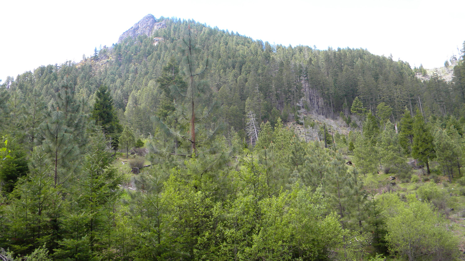
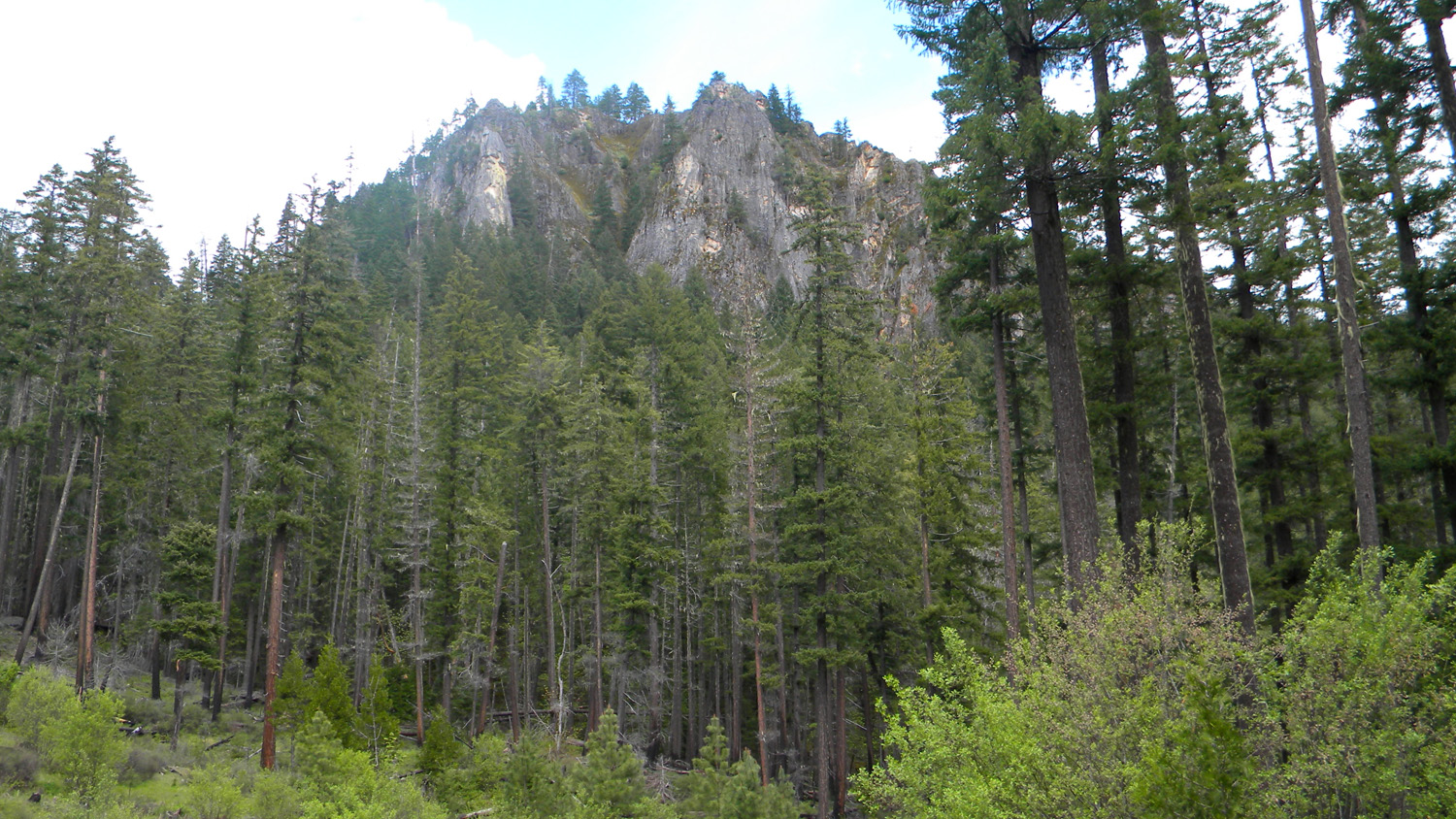
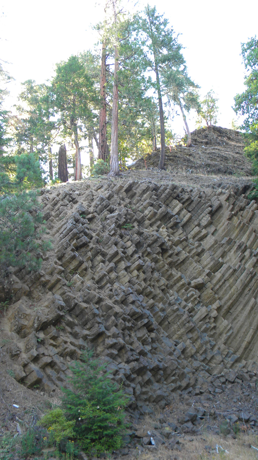
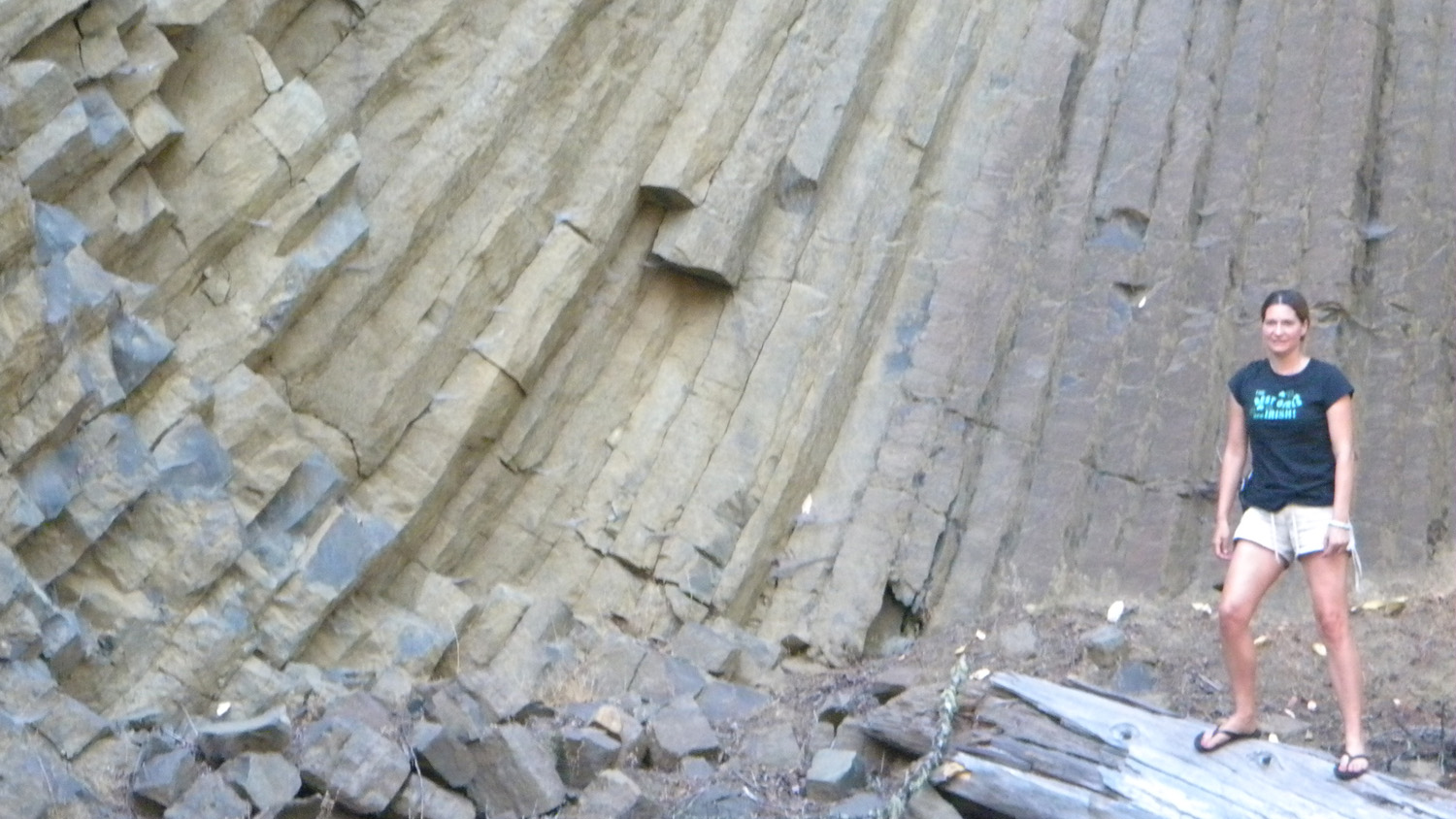
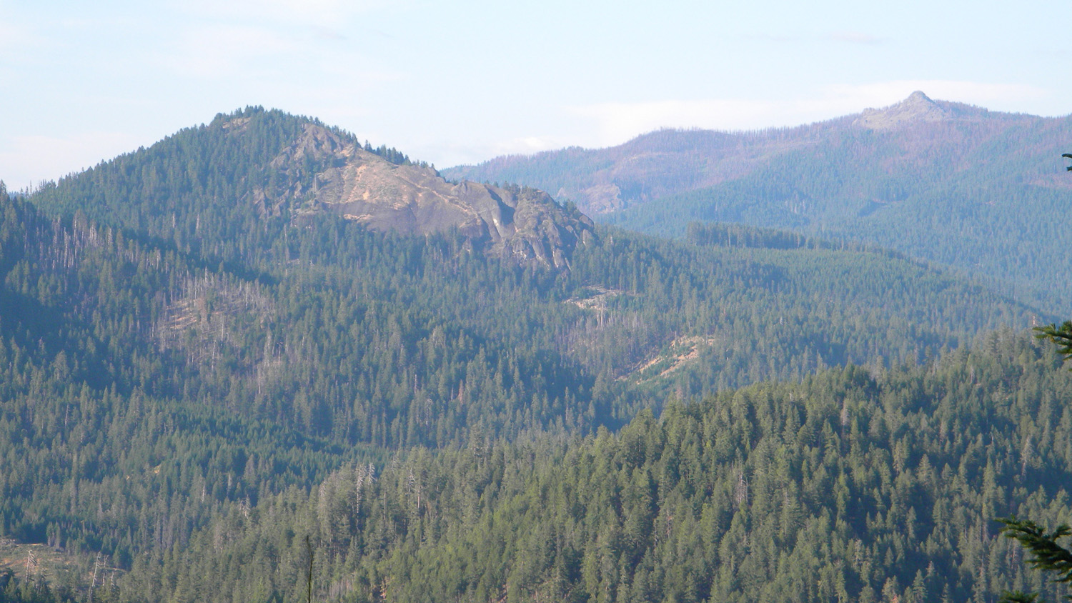
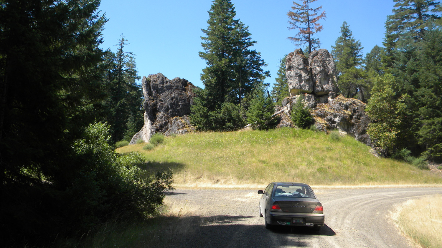
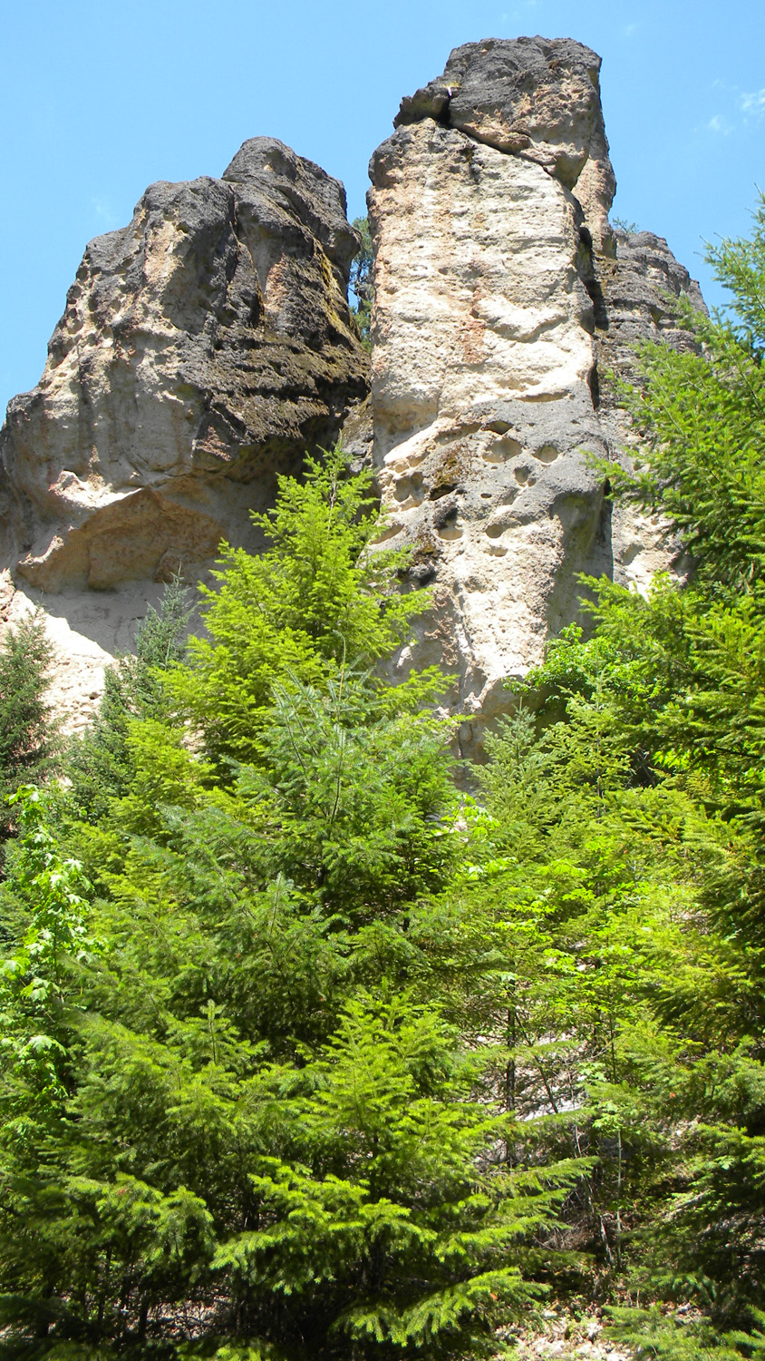
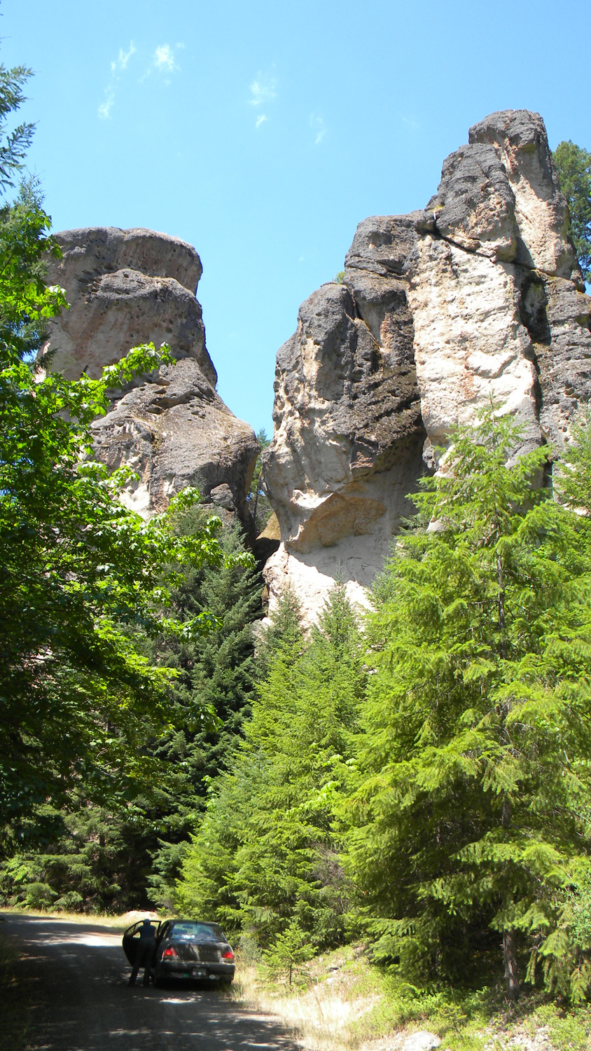
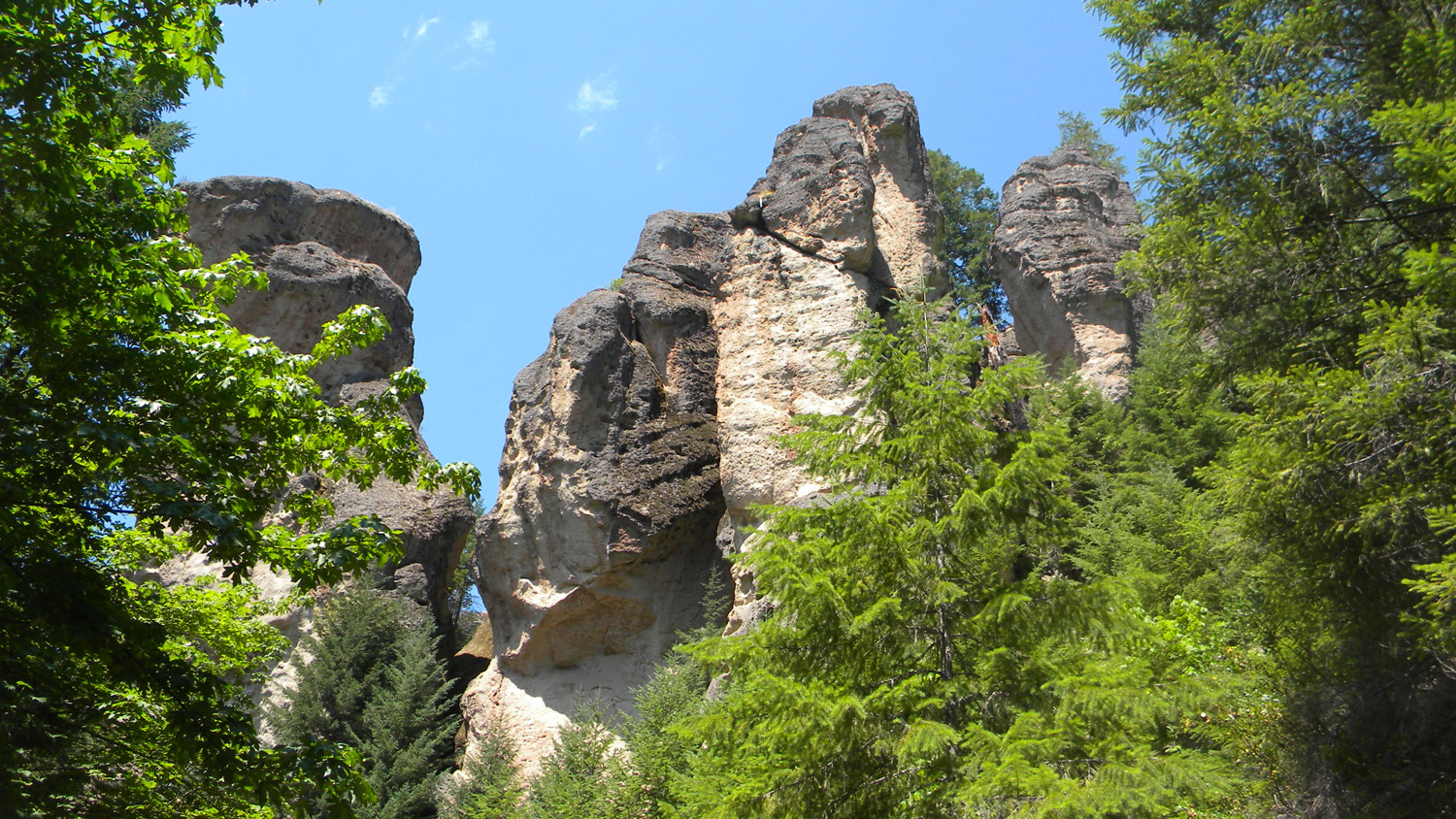
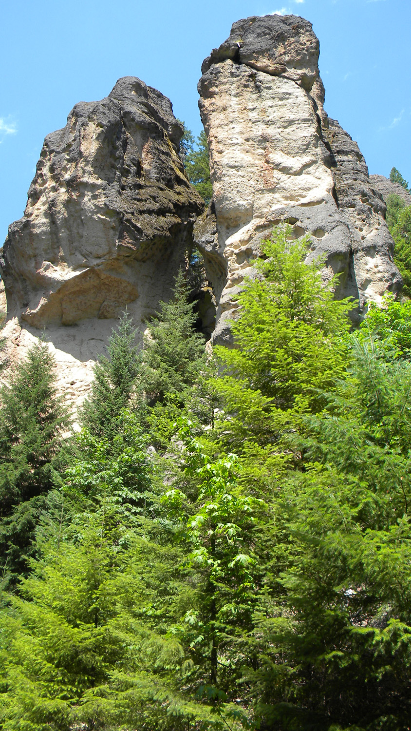
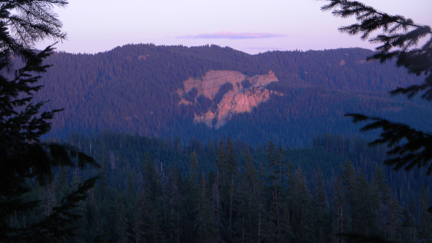
3270_Acker_Rock
|
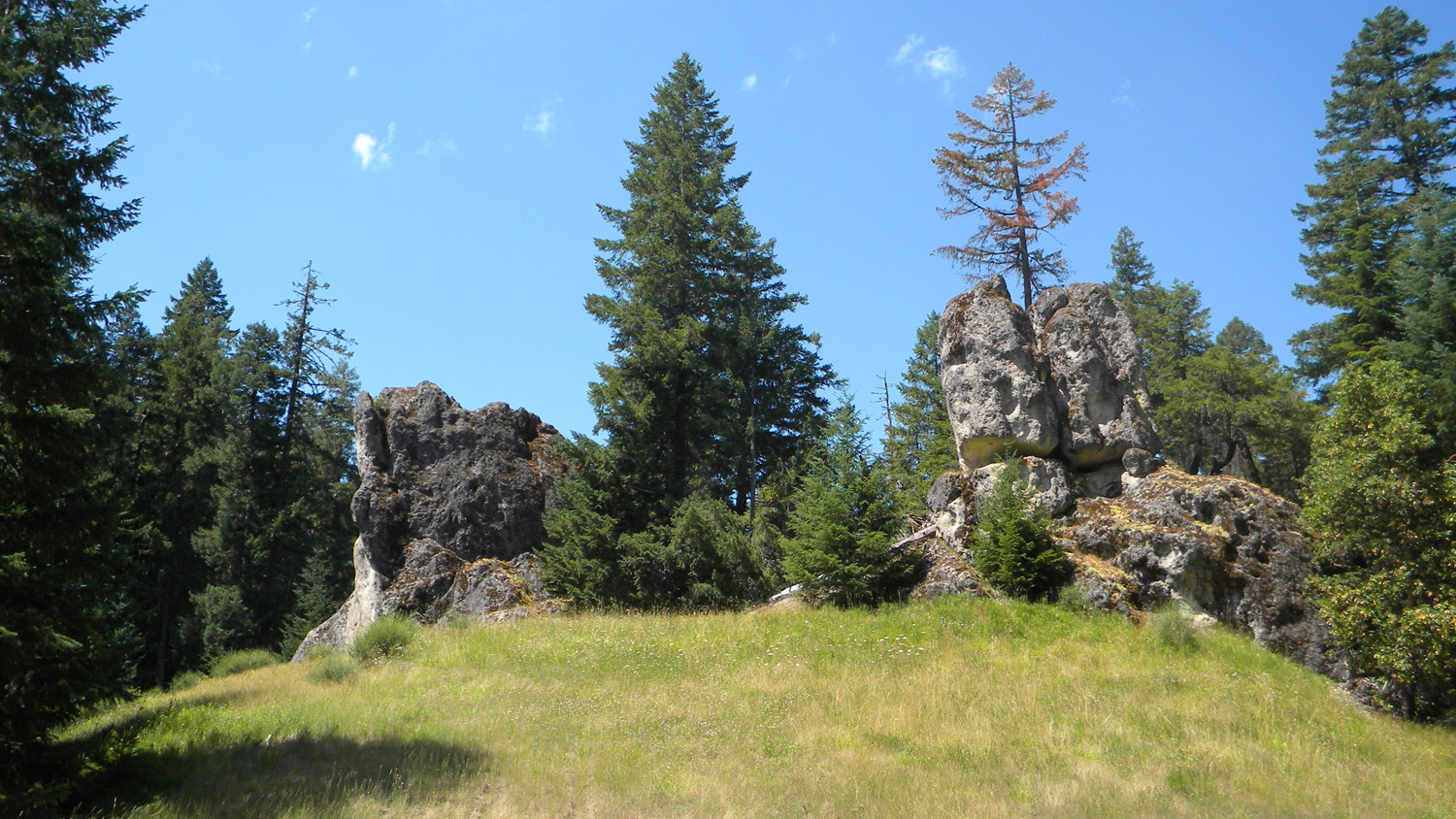
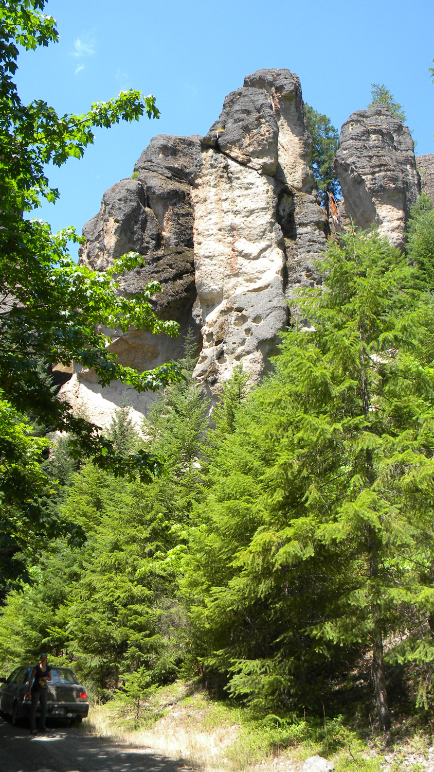
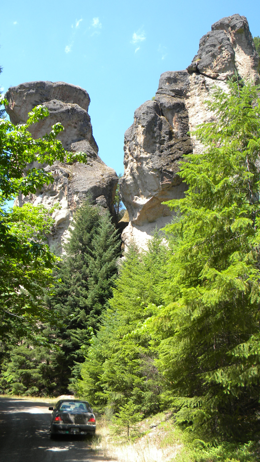
3271_Acker_Rock
|
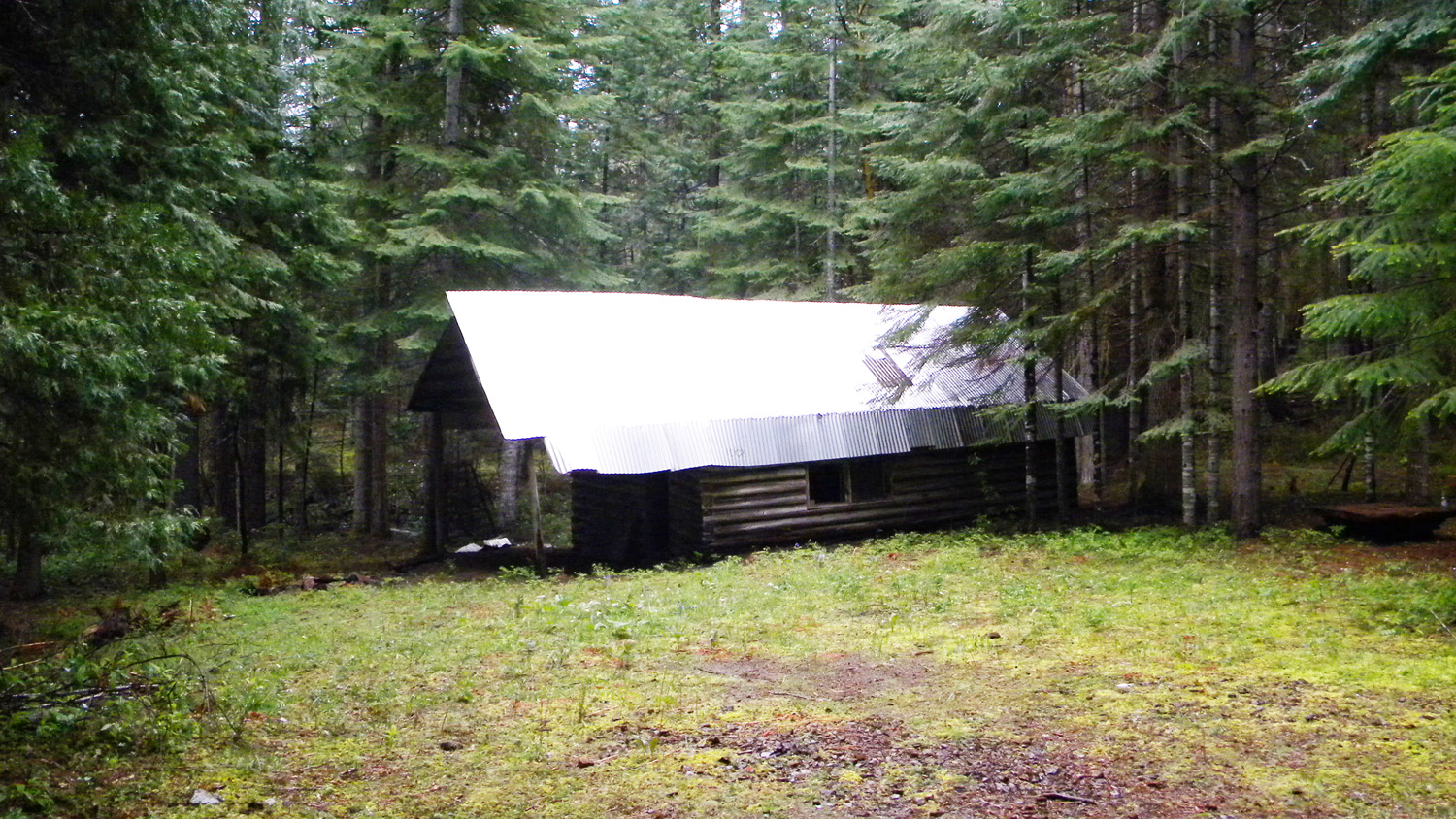
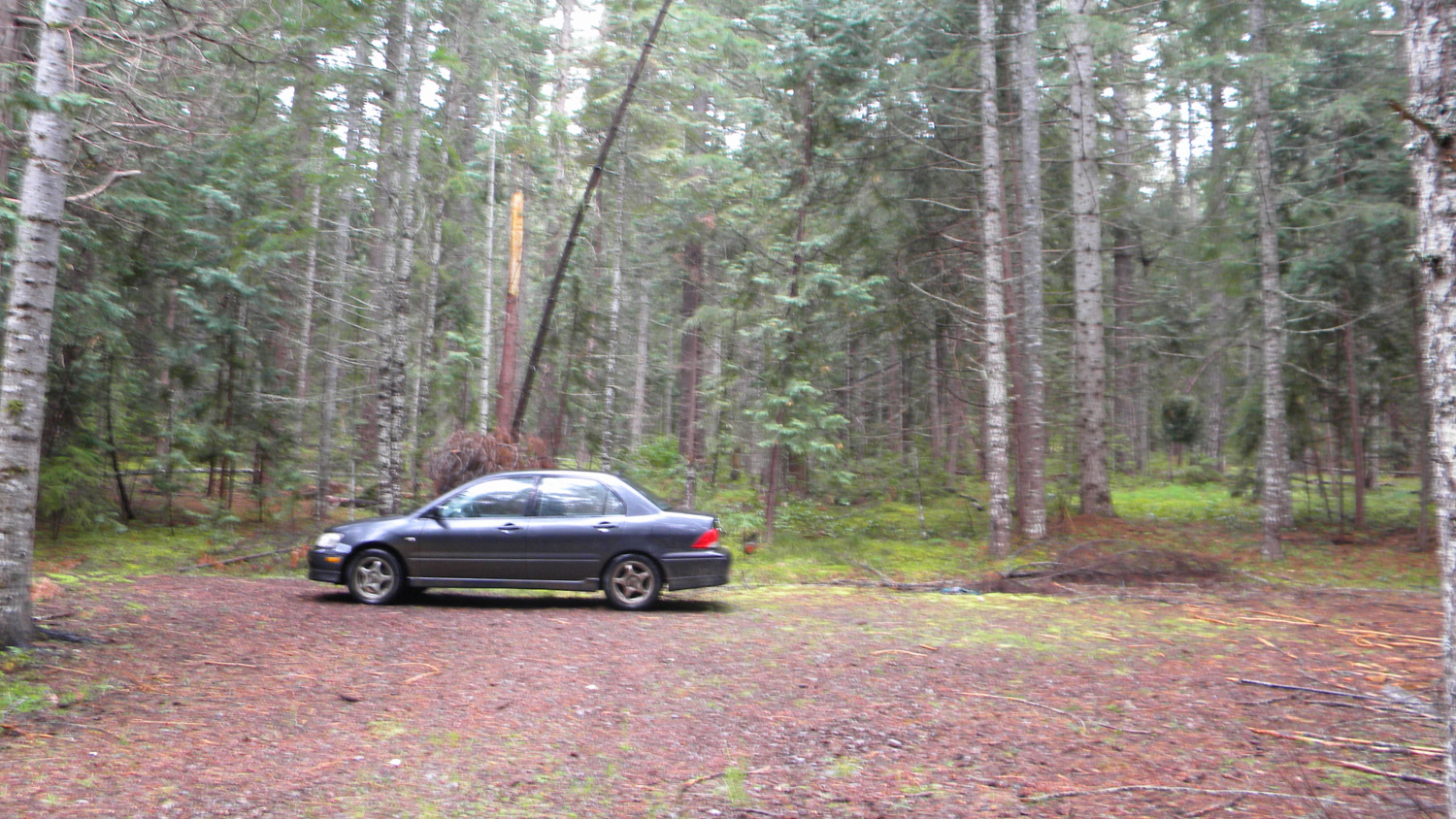
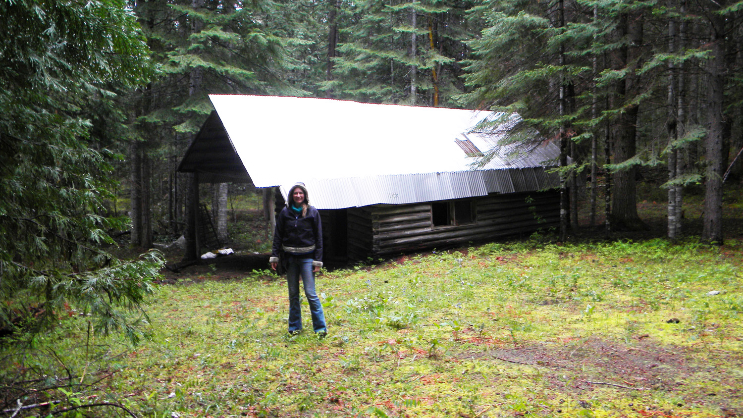
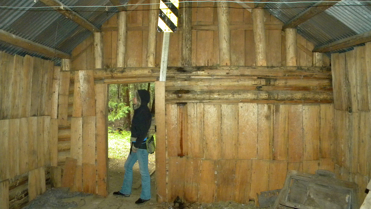
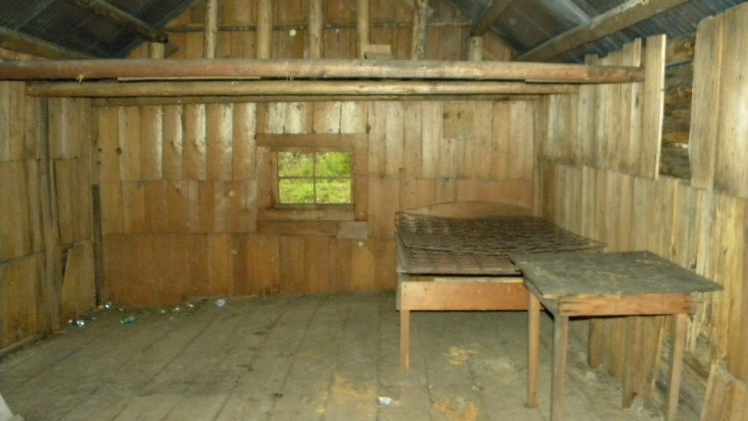
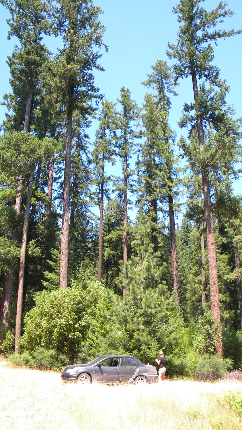
3342_Private_Cabin
|
3343_Private_Drive
|
 |
 |
 |
 |
 |
3344_Private_Cabin
|
3348_Private_Cabin
|
3349_Private_Cabin
|
3350_Private_Pond
|
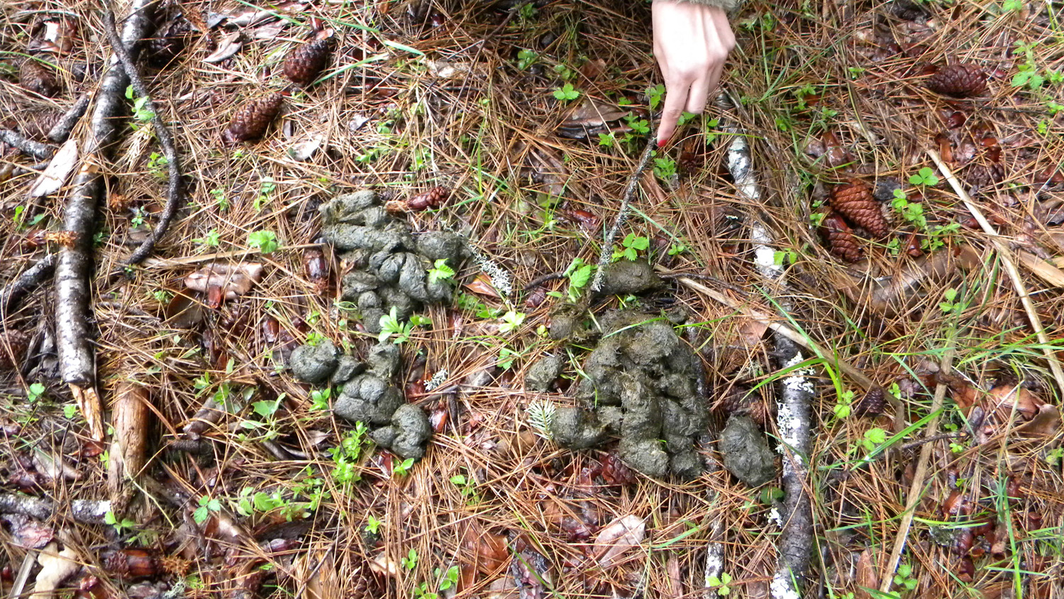
3362_Scat
|
 |
 |
 |
 |
 |
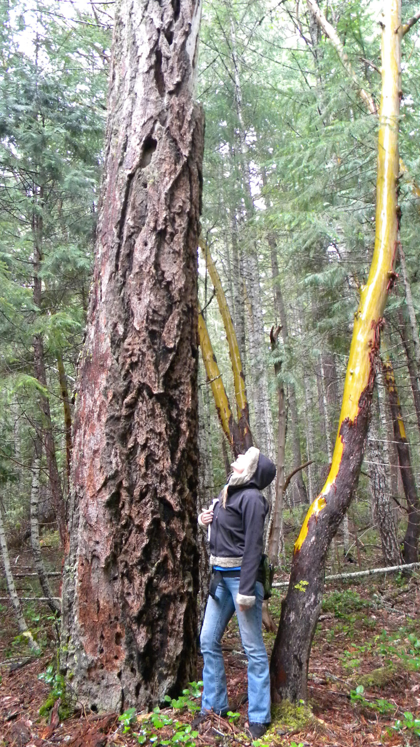
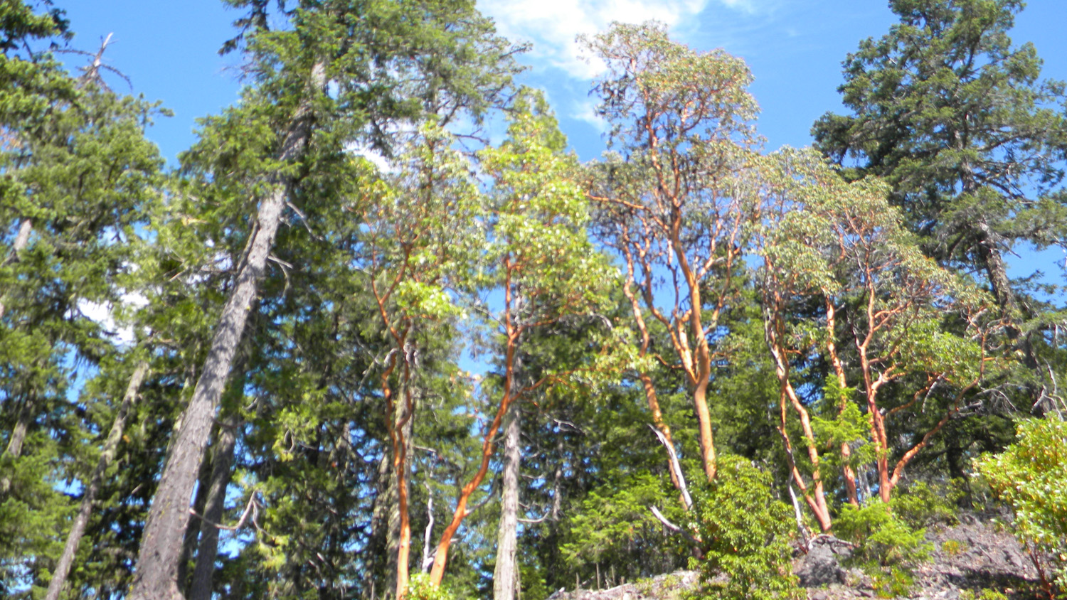
3363_Fir_and_Madrone |
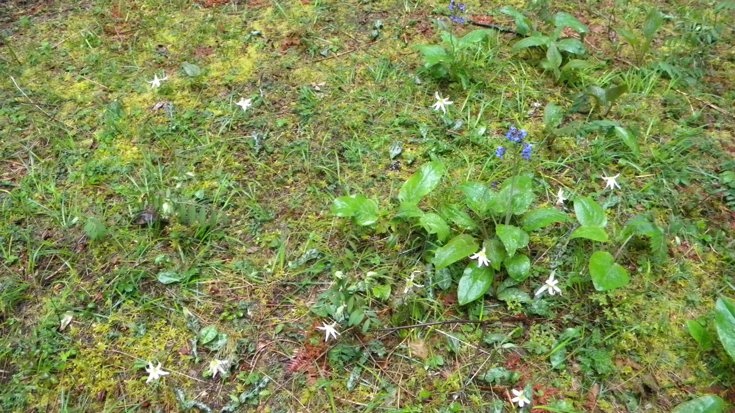
3364_Wildflowers |
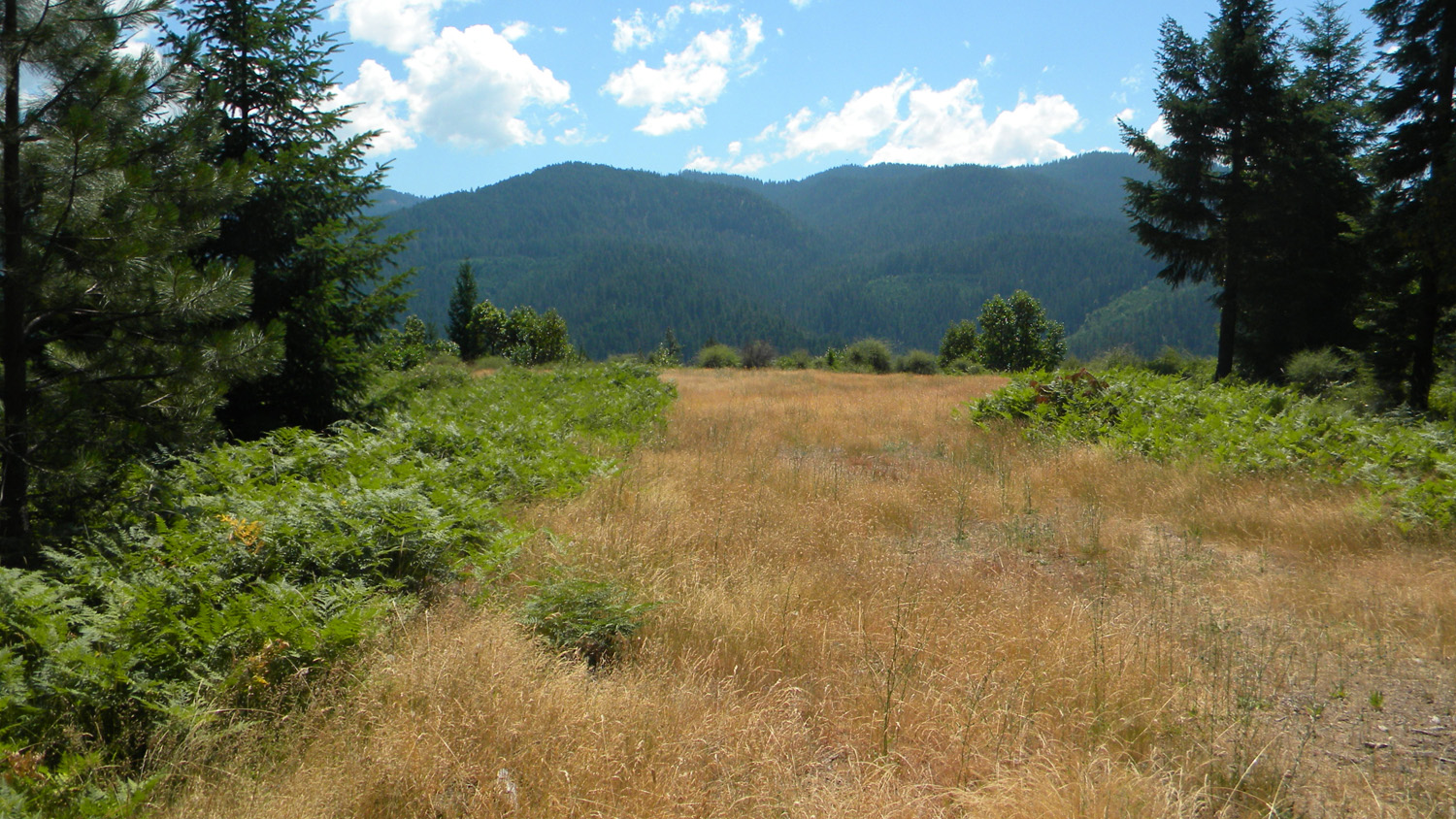
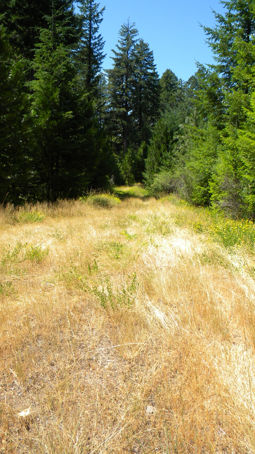
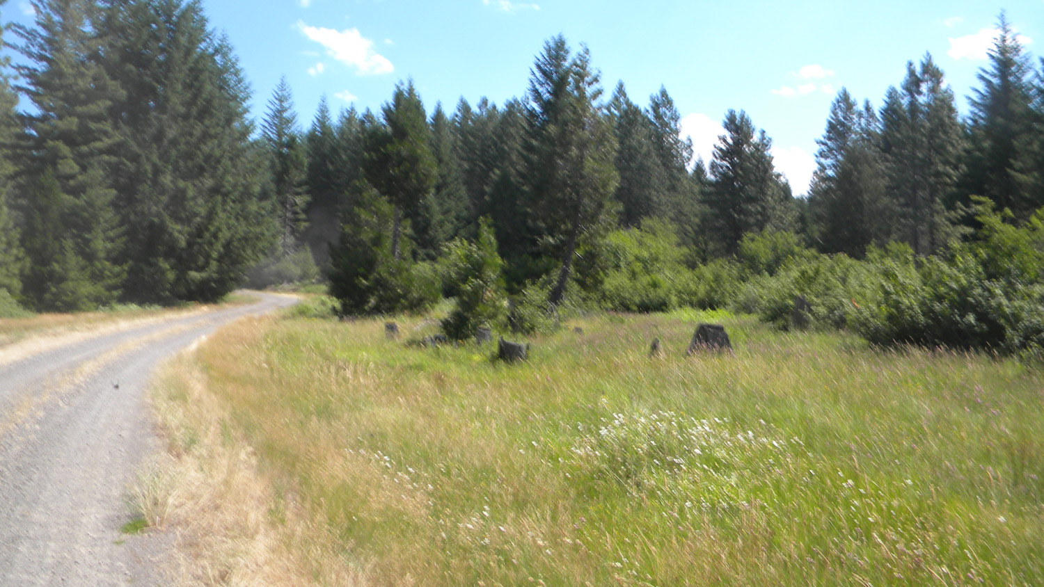
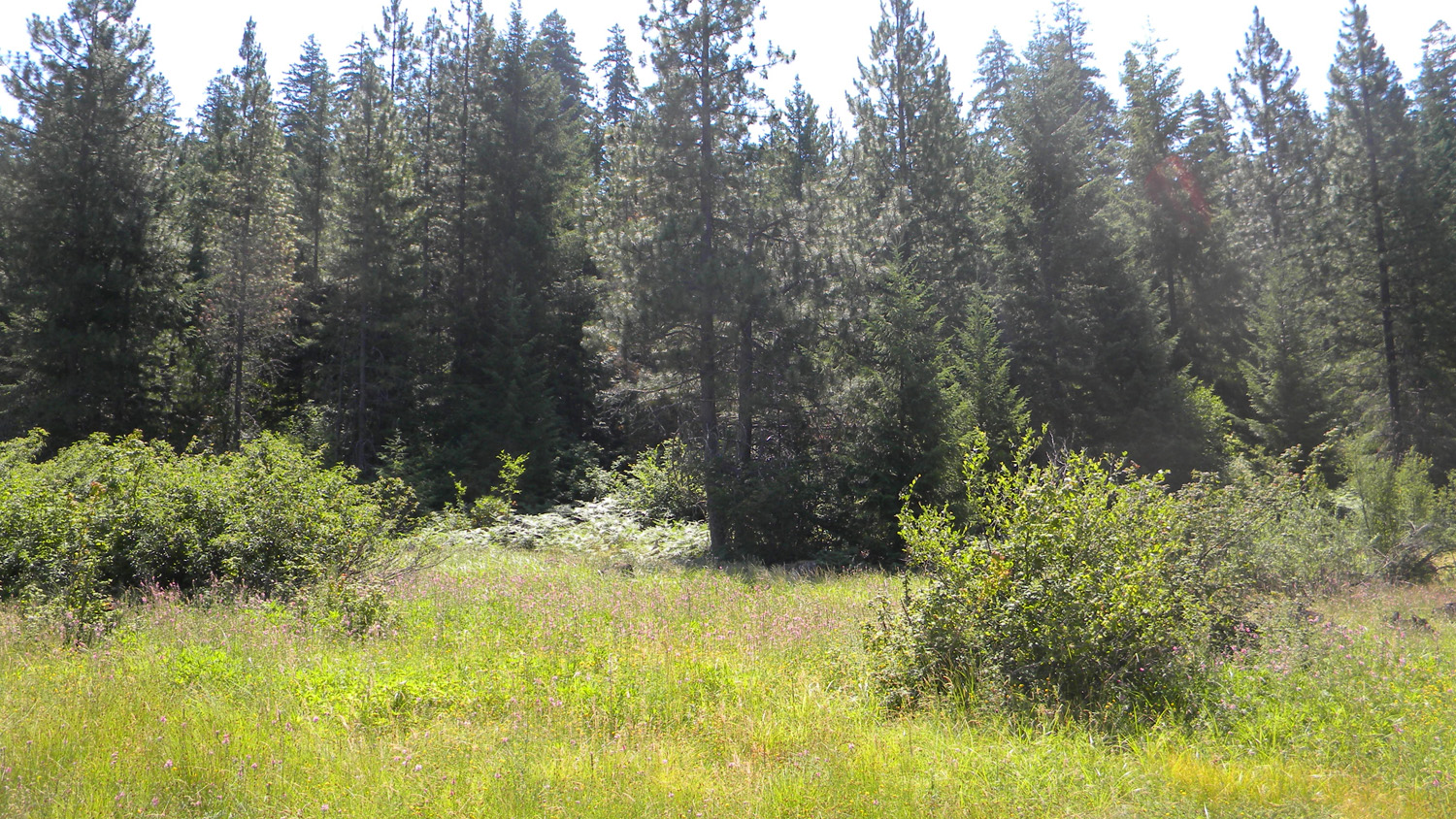
3365_779_Road_Meadow |
3366_Young_Reprod |
3367_779_Road_End |
 |
 |
 |
 |
 |
3368_Mixed_Trees |
3369_Mixed_Trees |
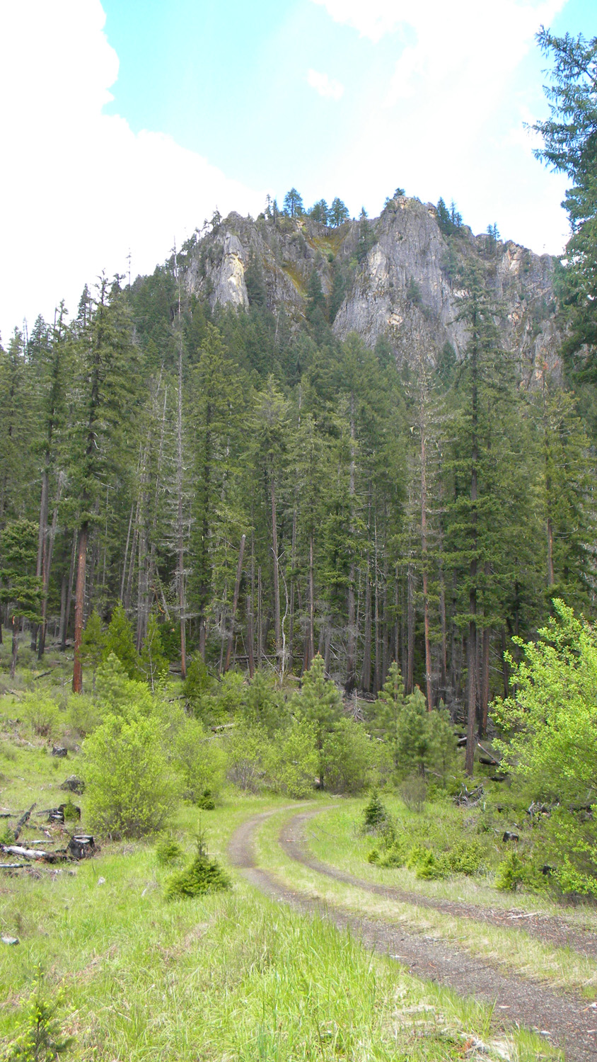
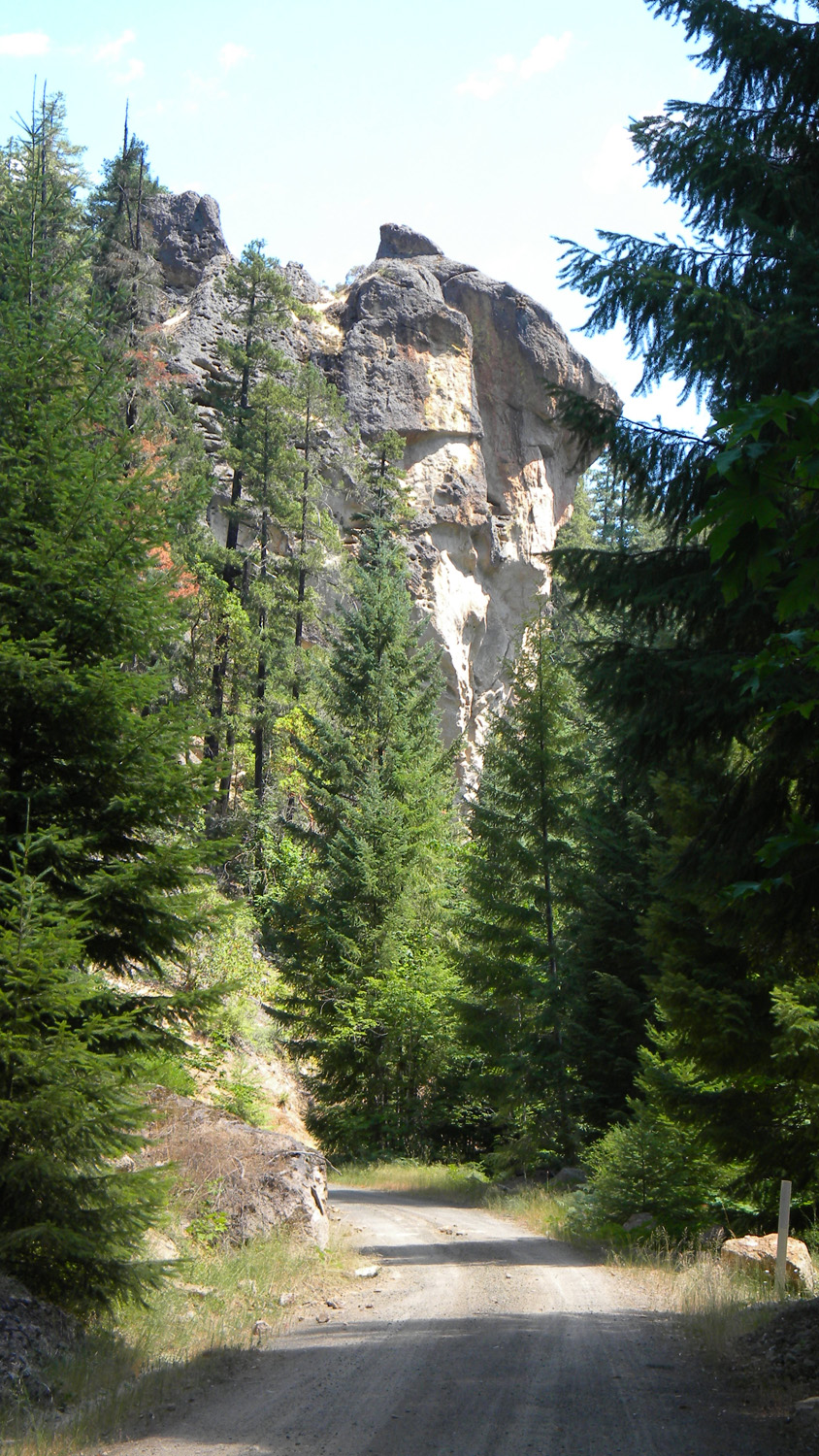
3370_Acker_Rock |
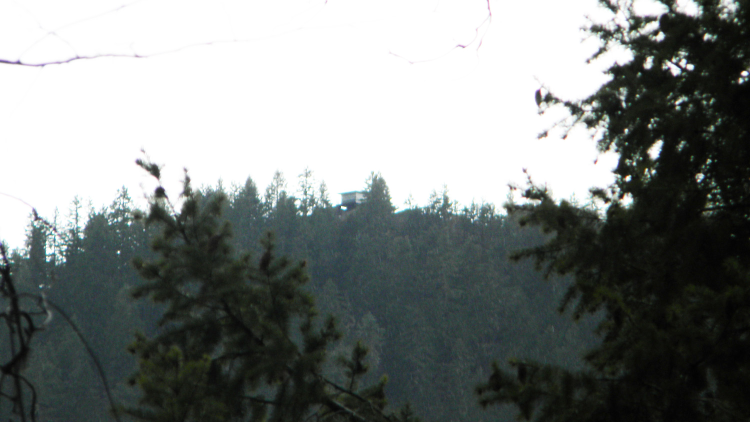
3372_Acker_Rock_Lookout |
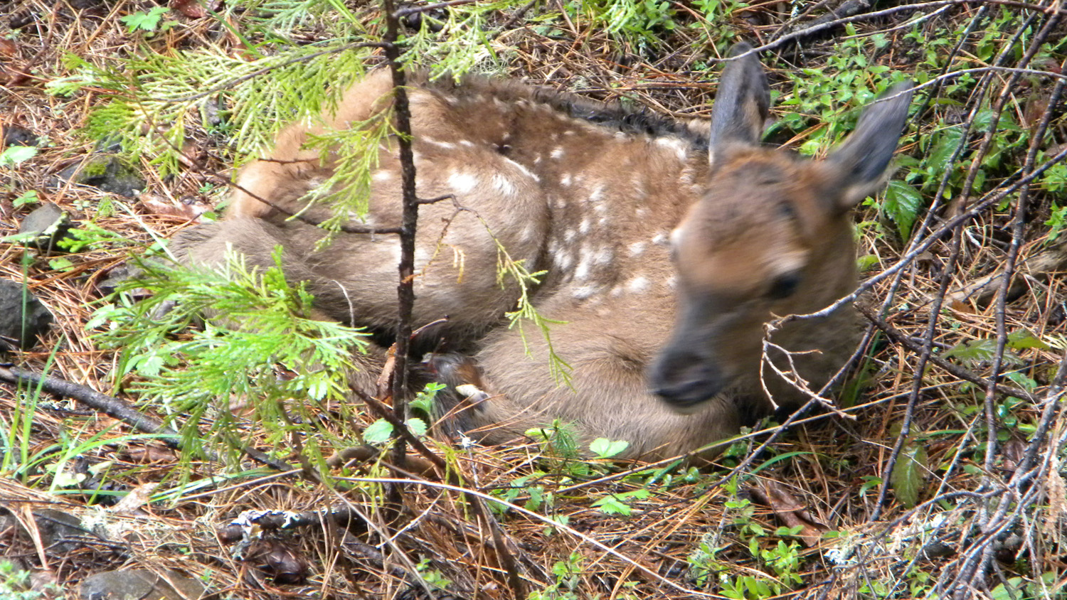
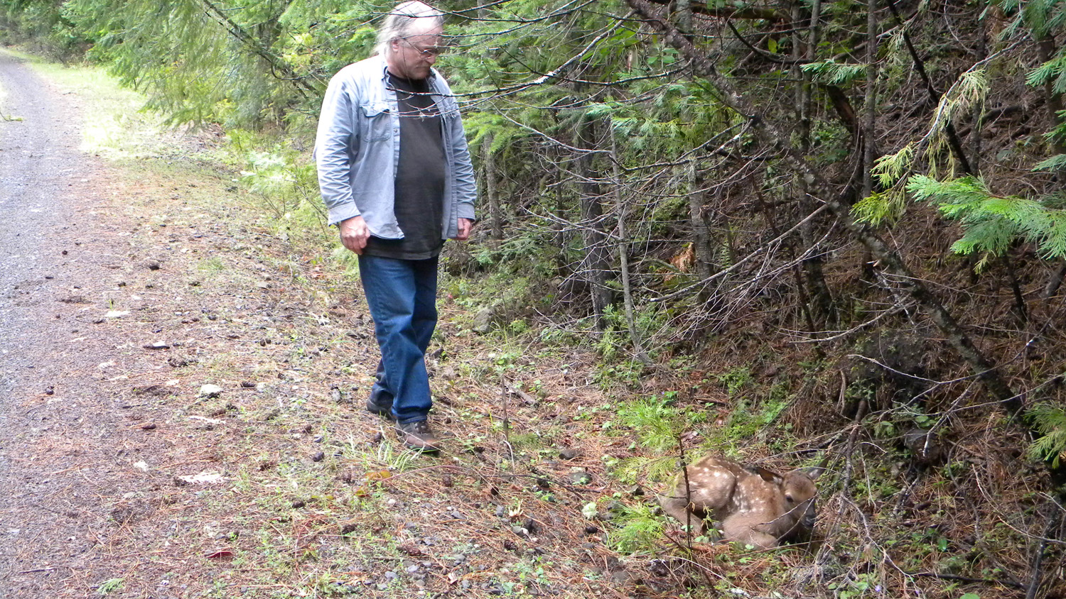
3415_Newborn |
 |
 |
 |
 |
 |
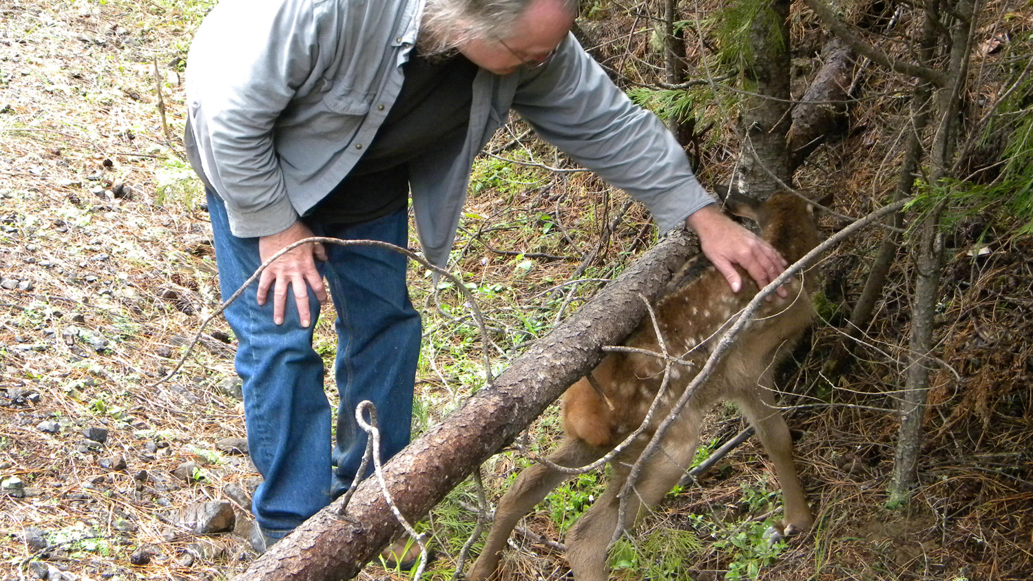
3416_Fawn |
3417_Newborn |
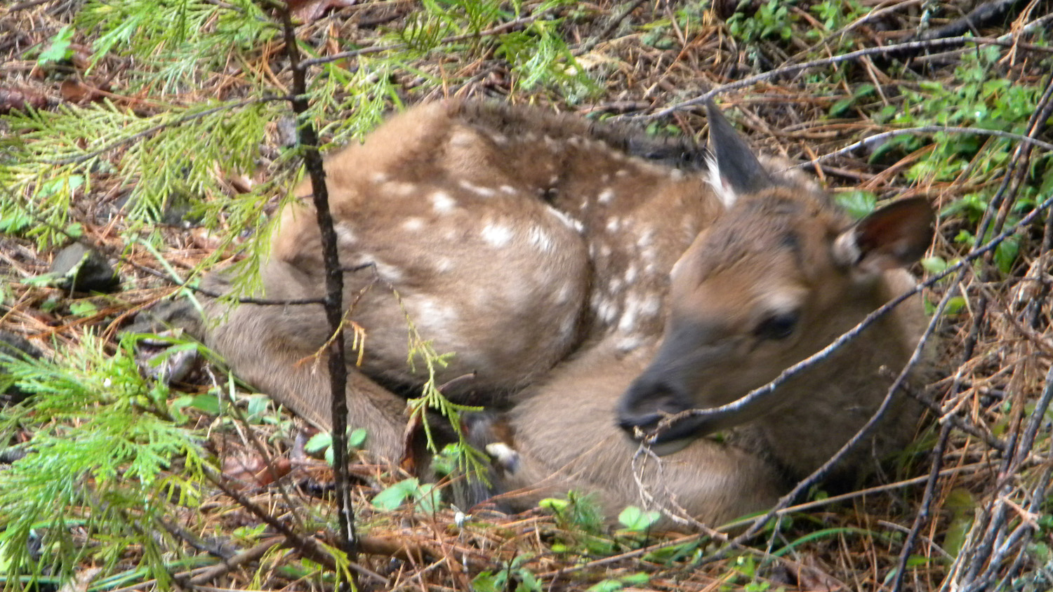
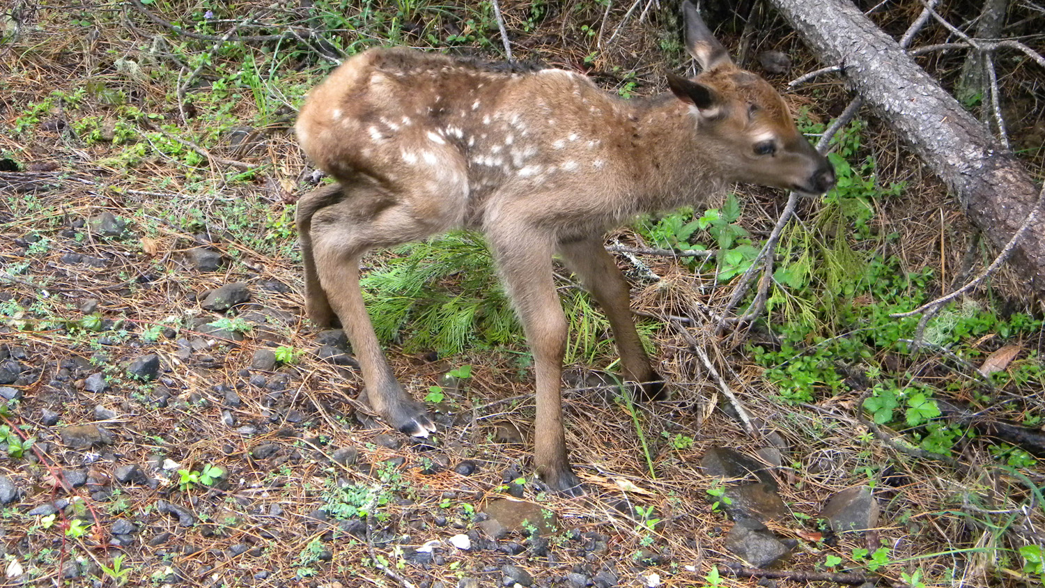
3418_Fawn |
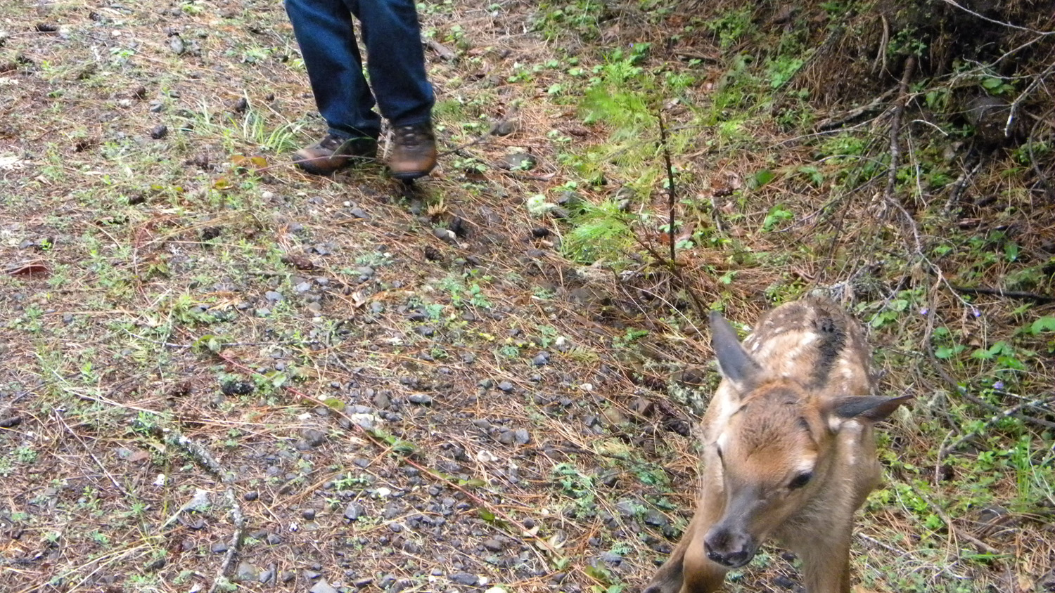
3419_First_Steps |
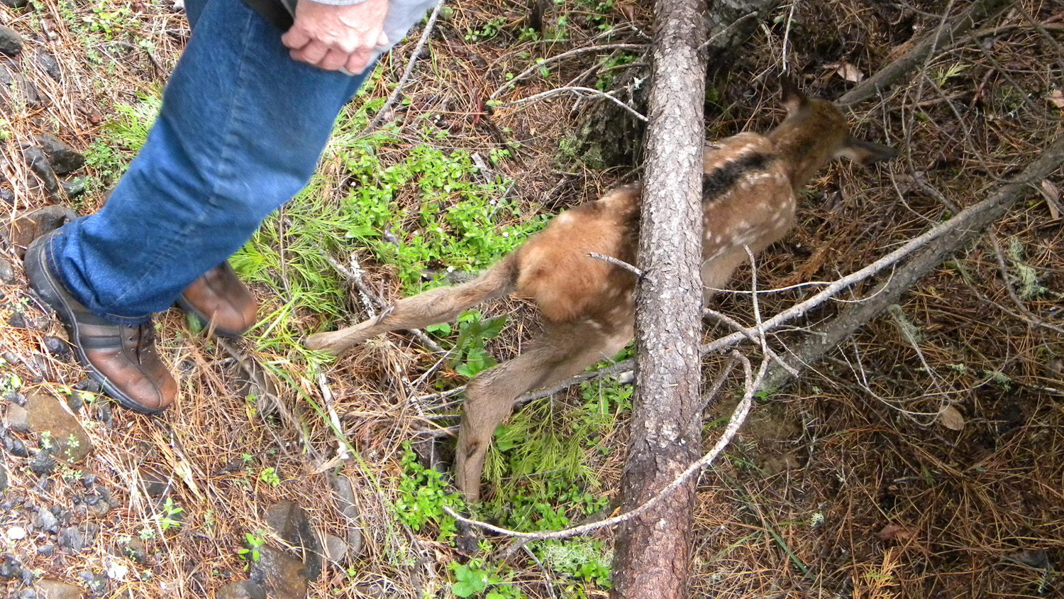
3420_Stuck |
 |
 |
 |
 |
 |
3422_Fawn |
3423_Fawn |
3425_Fawn |
3426_2838_Road_Water |
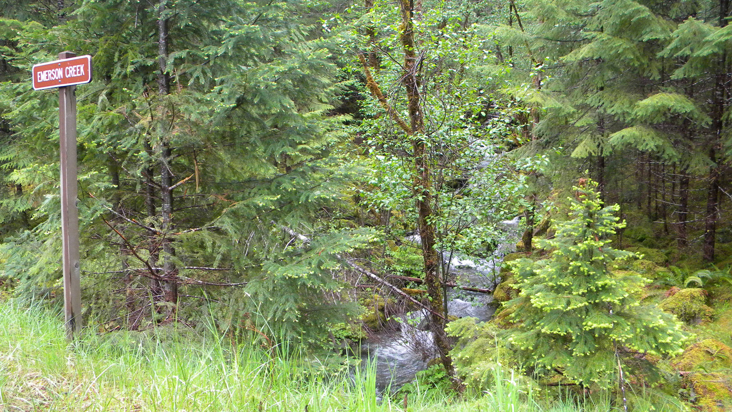
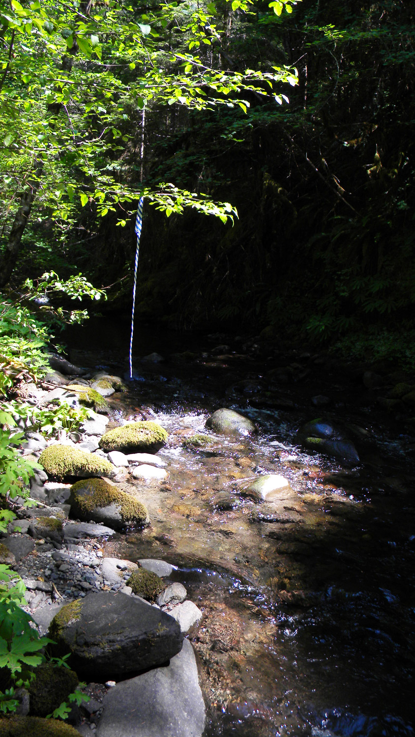
3427_Emerson_Creek |
 |
 |
 |
 |
 |
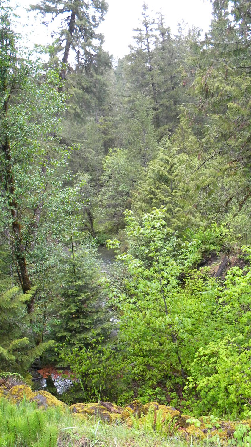
3428_Emerson_Creek |
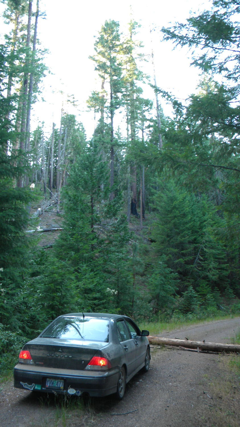
5075_500_Road_Blocked |
5080_600_Road_End |
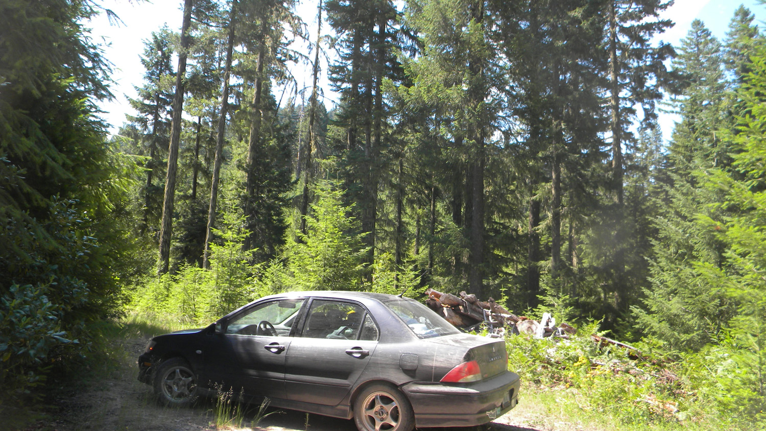
5087_CMT |
5088_600_Road |
 |
 |
 |
 |
 |
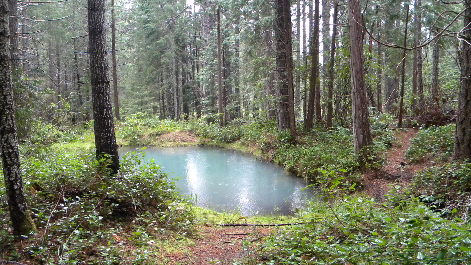
5090_Hidden_Pond |
5093_Intersection |
5098_2830_Road_View |
5099_2830_Road_View |
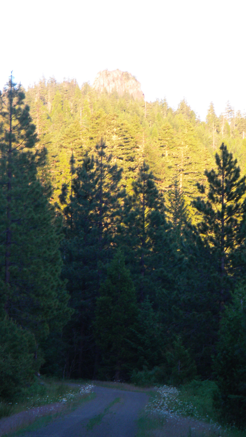
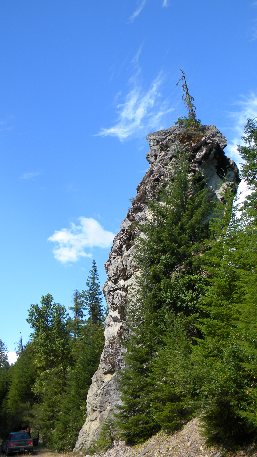
5100_Lone_Woman_Rock |
 |
 |
 |
 |
 |
5965_200_Road_View |
5966_200_Road_View |
5968_200_Road_View |
5969_200_Road_View |
5970_200_Road_View |
 |
 |
 |
 |
 |
5971_200_Road_View |
5972_200_Road_View |
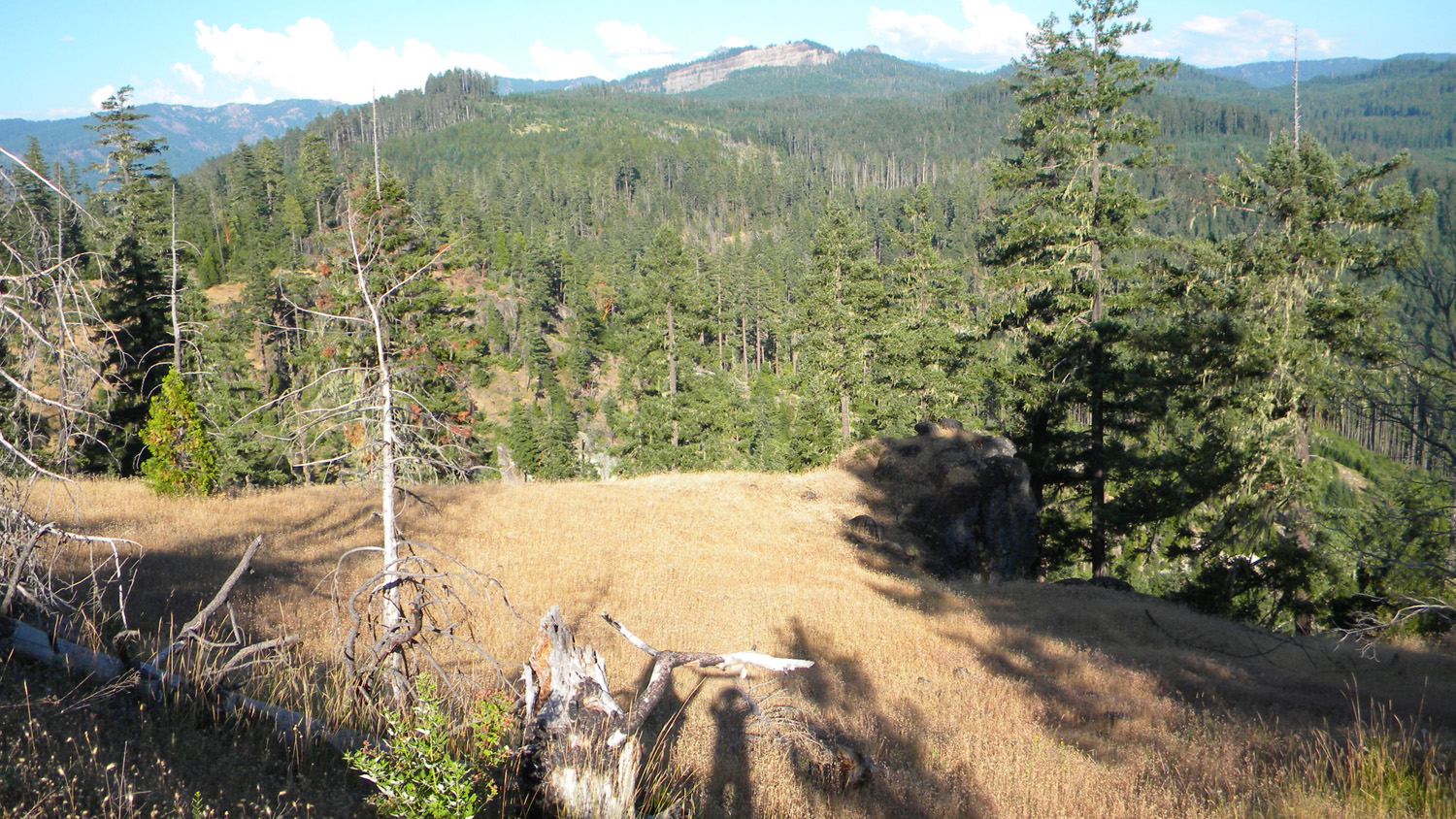
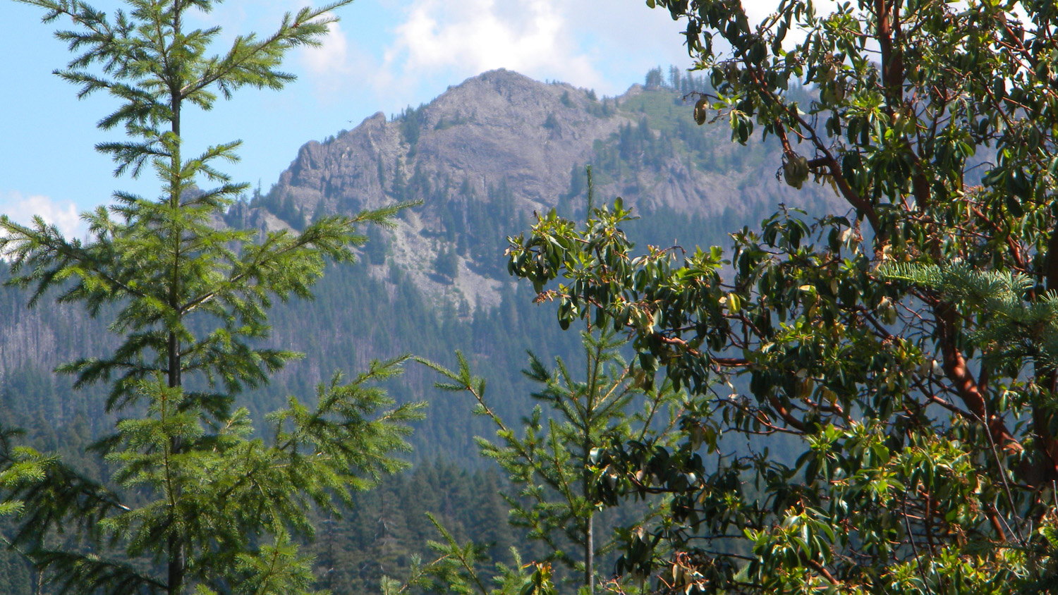
5973_Black_Cap |
5974_200_Road_View |
5975_200_Road_View |
 |
 |
 |
 |
 |
5976_201_Road_View |
5977_201_Road_View |
5978_201_Road_View |
5979_201_Road_View |
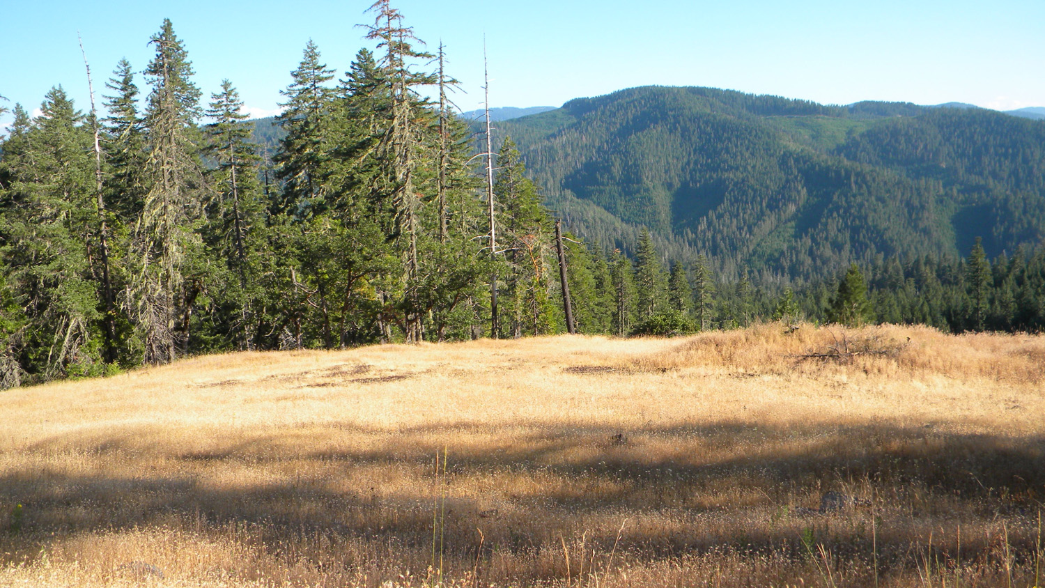
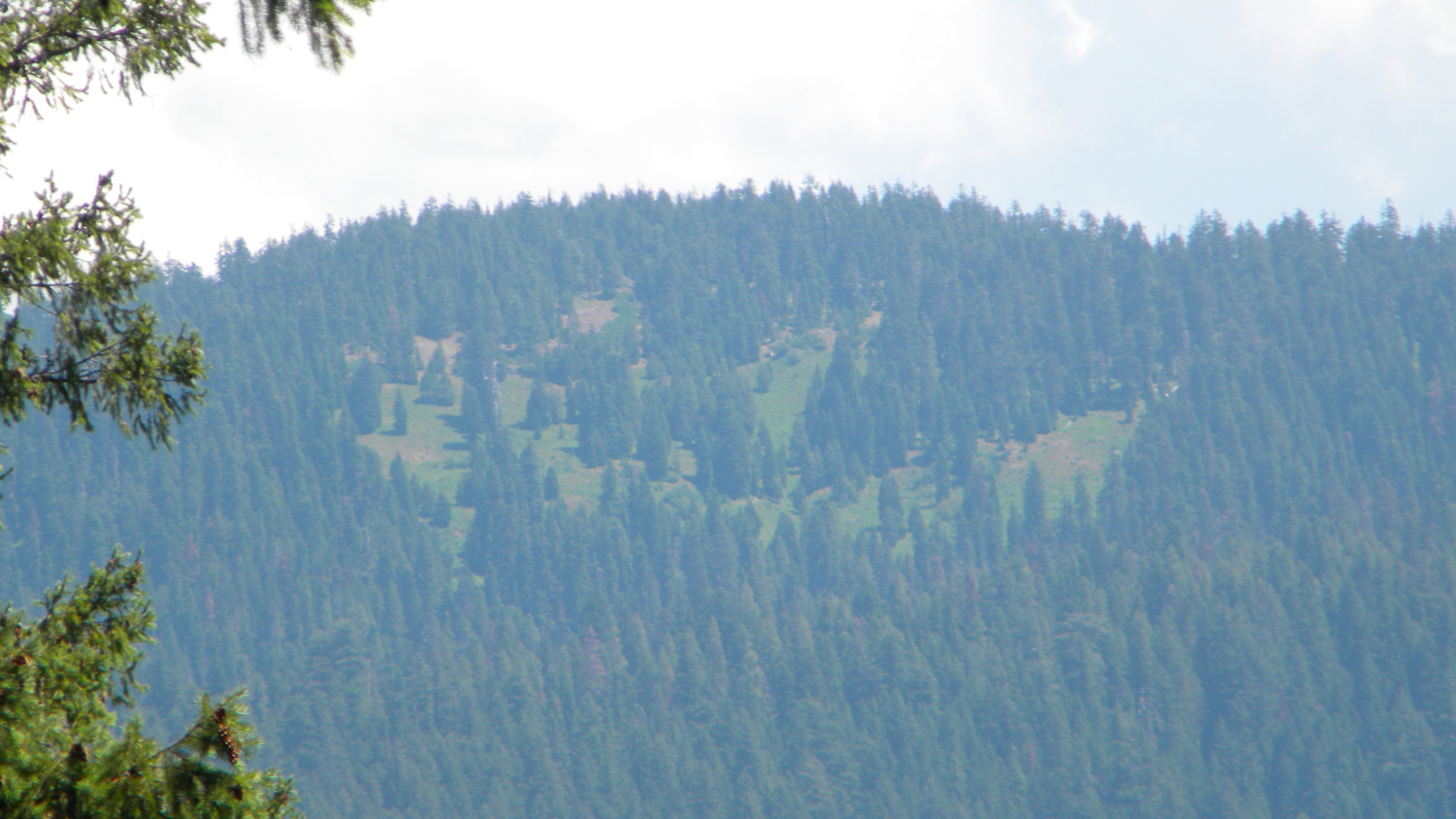
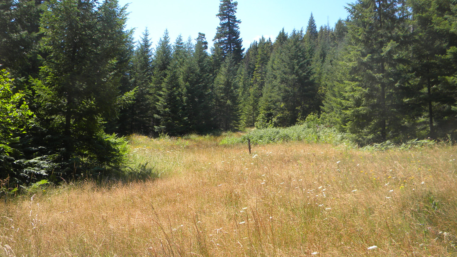
5980_201_Road_Meadow |
 |
 |
 |
 |
 |
5981_201_Road_Meadow |
5982_201_Road_Meadow |
5983_201_Road_Trees |
5984_201_Road_Lookout |
5994_201_Road_Trees |
 |
 |
 |
 |
 |
5995_300_Road_End |
5996_300_Road_View |
5997_300_Road_View |
6001_Acker_Road |
6002_900_Road_View |
 |
 |
 |
 |
 |
6005_808_Road_End |
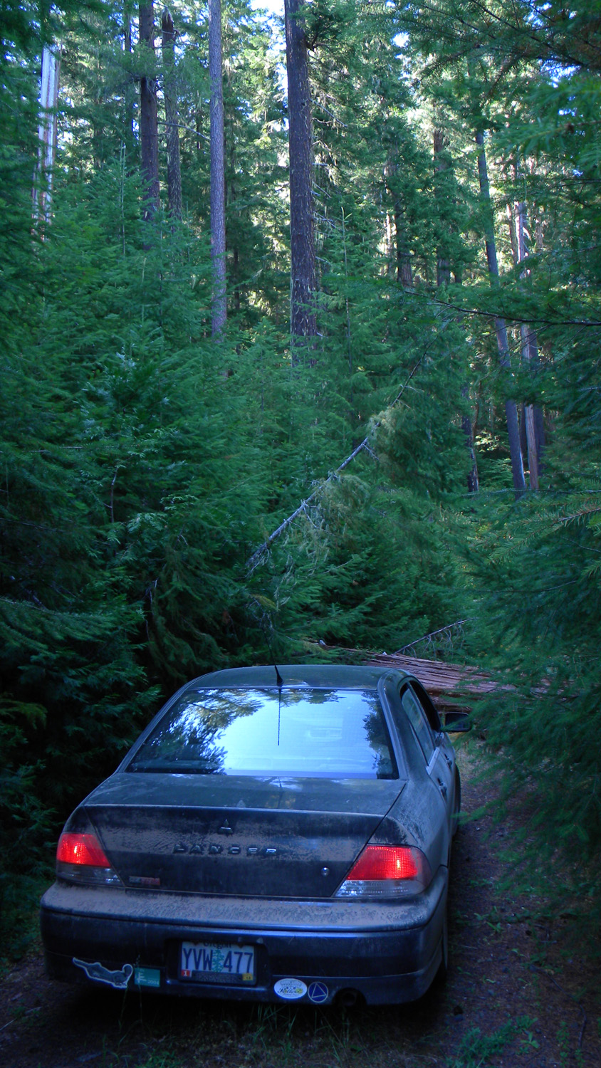
6006_800_Road_Blocked |
6007_800_Road_View |
6008_800_Road_View |
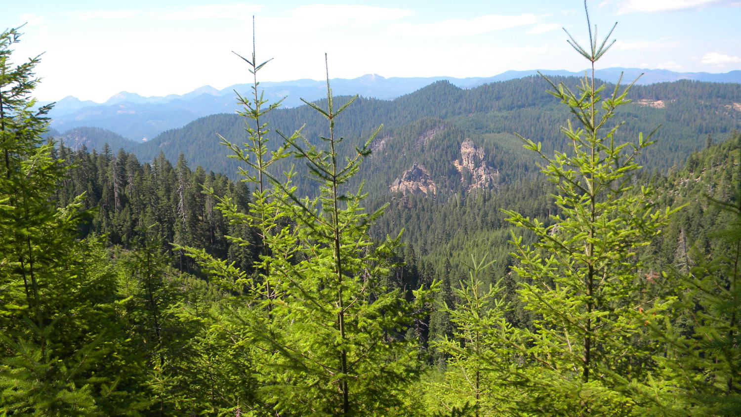
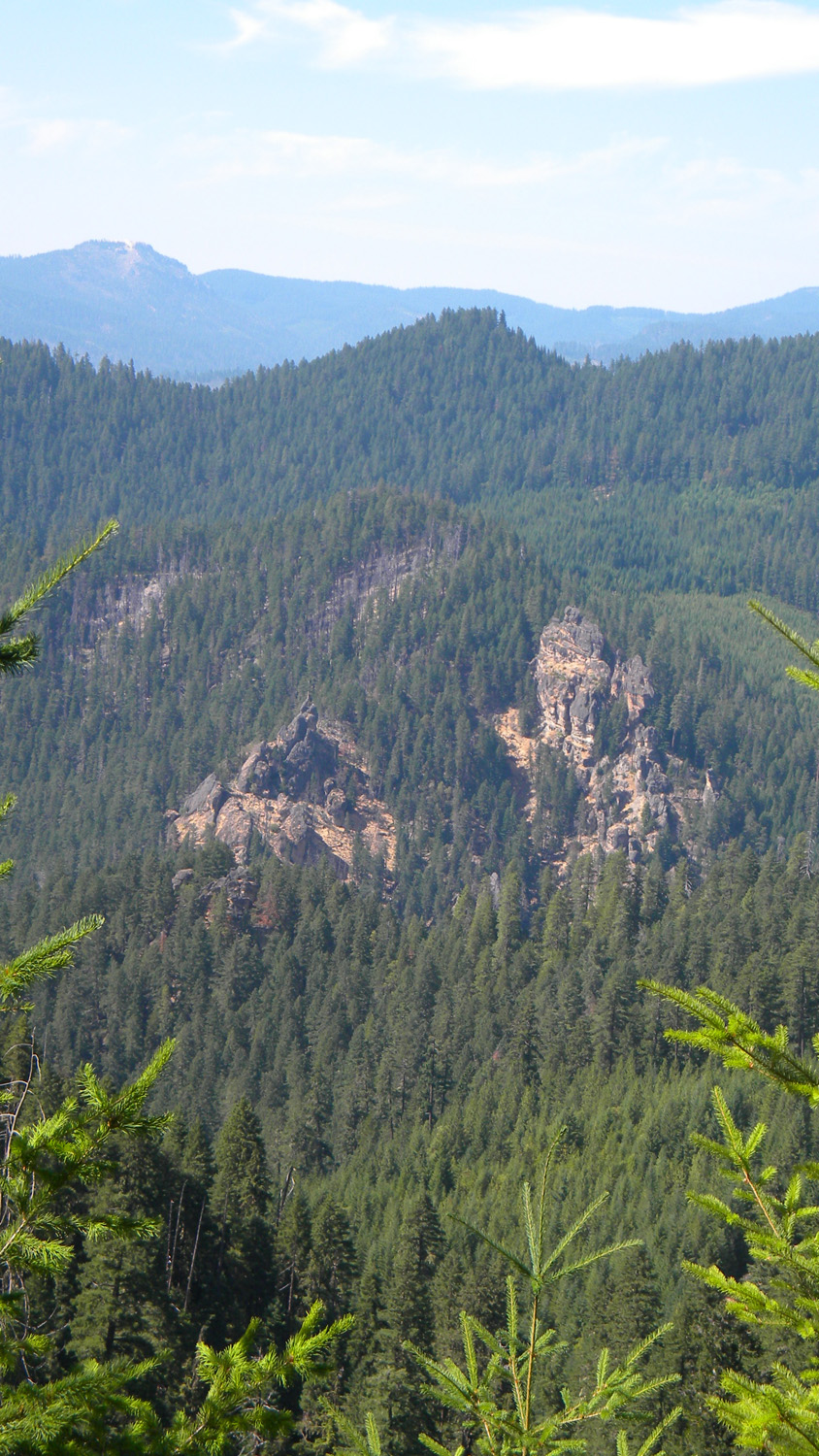
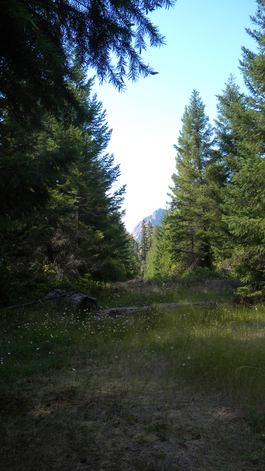
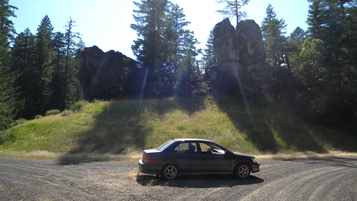
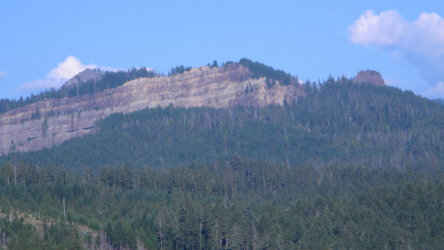
6009_Acker_Rock |
 |
 |
 |
 |
 |
6017_817_Road_End |
6018_817_Road_End |
6021_817_Road_View |
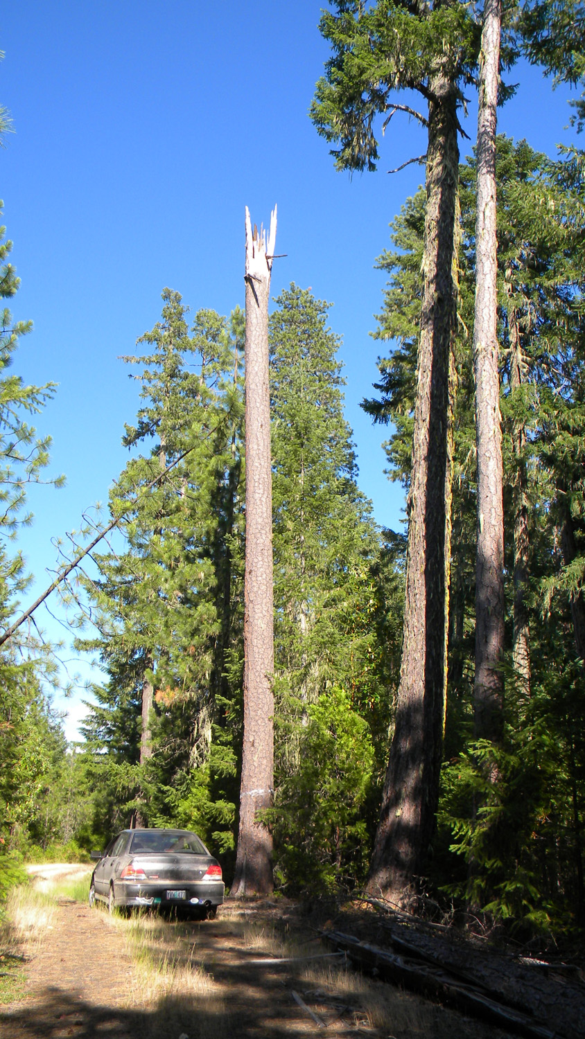
6023_Madrones |
6030_815_Road_View |
 |
 |
 |
 |
 |
6031_815_Road_View |
6032_700_Road_Closed |
6034_2938_Road_Rock |
6035_2938_Road_Rock |
6037_702_Road_Blocked |
 |
 |
 |
 |
 |
6038_800_Road_View |
6039_800_Road_View |
6040_800_Road_Rock |
6042_800_Road_Rock |
6043_800_Road_Rock |
 |
 |
 |
 |
 |
6044_800_Road_Rock |
6045_700_Road |
6046_700_Road_Blocked |
6053_827_Road_Elk_Camp |
6057_800_Road_View |
 |
 |
 |
 |
 |
6058_800_Road_View |
6059_800_Road_View |
6060_800_Road_View |
6062_800_Road_View |
6063_800_Road_View |
 |
 |
 |
 |
 |
6064_Madrones |
6065_800_Road_View |
6066_800_Road_View |
6067_800_Road |
6068_800_Road_View |
 |
 |
 |
 |
 |
6070_Rocky_Ridge |
6072_800_Road_View |
6074_800_Road_View |
6081_800_Road_View |
6082_Rocky_Ridge |
 |
 |
 |
 |
 |
6083_800_Road_View |
6084_2835_Road_View |
6085_2835_Road_Trees |
6086_2835_Road_Rocks |
6087_2835_Road_View |
 |
 |
 |
 |
 |
6088_2835_Road_View |
6089_2835_Road_View |
6090_2835_Road_View |
6091_2835_Road_View |
6092_2835_Road_Blocked |
 |
 |
 |
 |
 |
6093_2835_Road_Blocked |
6094_854_Road |
6101_2835_Road_Blocked |
6102_2835_Road_Blocked
|
6188_585_Road_Blocked
|
 |
 |
 |
 |
 |
6189_601_Road_End
|
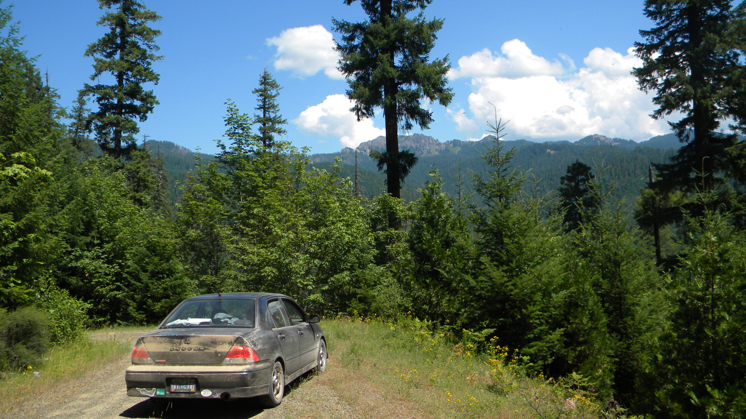
6190_600_Road_Closed
|
6191_660_Road_End
|
6192_650_Road_Trees
|
6193_650_Road_Trees
|
 |
 |
 |
 |
 |
6194_650_Road_Trees
|
6195_650_Road
|
6196_650_Road_Blocked |
6197_2938_Road_Meadow |
6198_2938_Road_Meadow |
 |
 |
 |
 |
 |
6199_2938_Road |
6200_2938_Road |
6201_2938_Road_Rock |
6202_2938_Road_Rock |
6204_2938_Road_Rock |
 |
 |
 |
 |
 |
6205_2938_Road_Rock |
6206_2938_Road_Rock |
6207_2938_Road_Rock |
6208_2938_Road_Rock |
6209_2938_Road_Rock |
 |
 |
 |
 |
 |
6211_2938_Road_Rock |
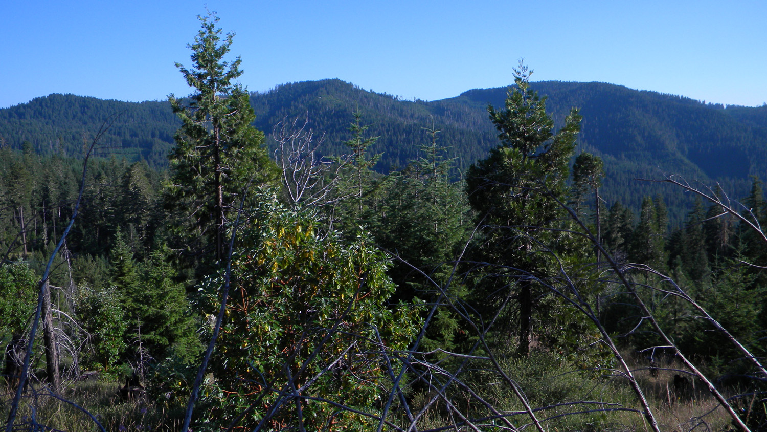
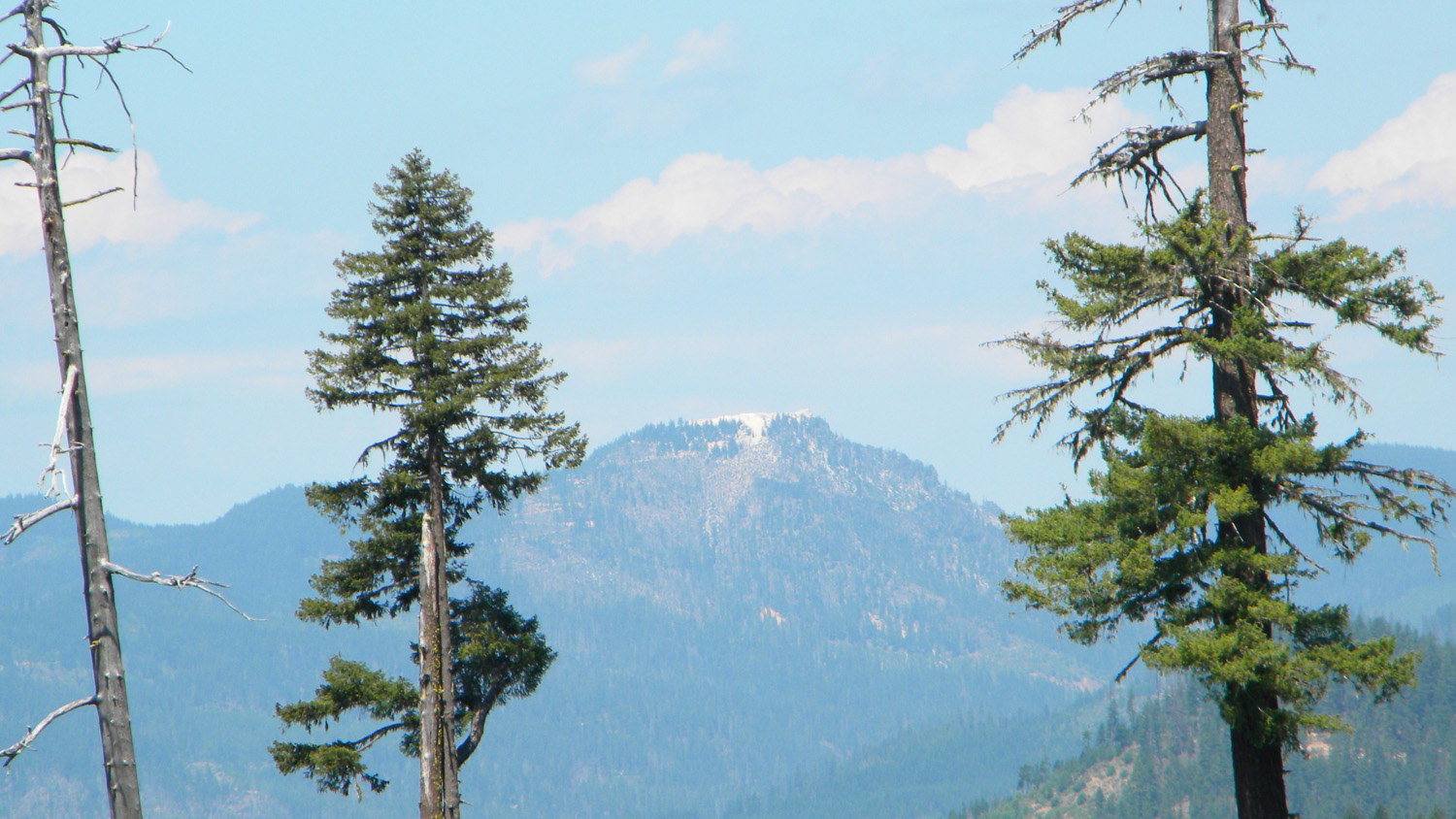
6213_Grasshopper_Mountain |
6214_29_Road_View |
6215_29_Road_View |
6216_29_Road_View |
 |
 |
 |
 |
 |
6217_29_Road_Trees |
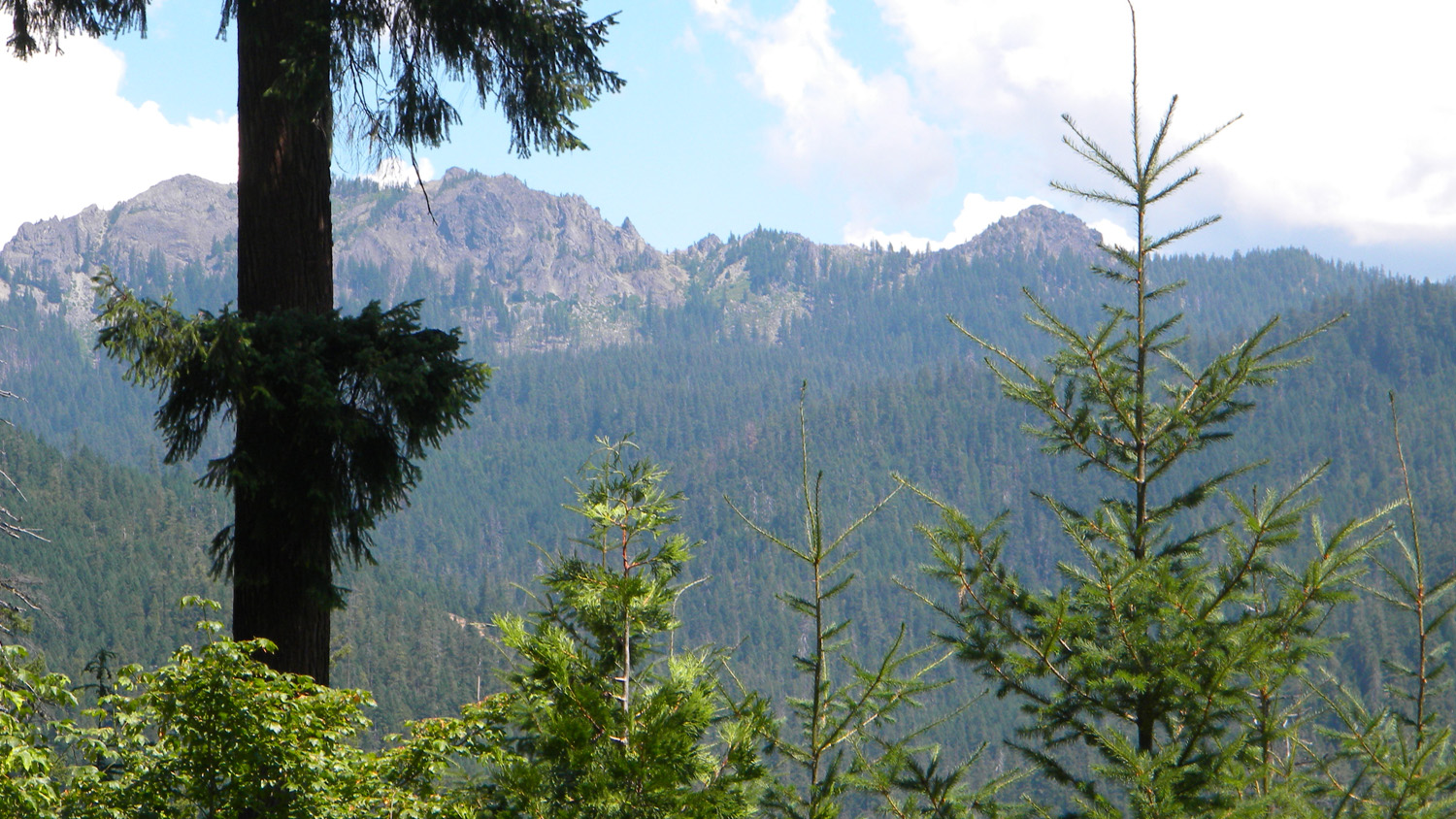
6218_Quartz_Mountain |
6219_500_Road |
6220_Grasshopper_Mountain |
6221_500_Road_View |
 |
 |
 |
 |
 |
6222_500_Road_View |
6223_400_Road_Meadow |
6224_480_Road_Closed |
6244_Lonewoman_Creek |
6245_Lonewoman_Creek |
 |
 |
 |
 |
 |
6246_2947_Road |
6247_2947_Road_Trees |
6248_2947_Road_Rock |
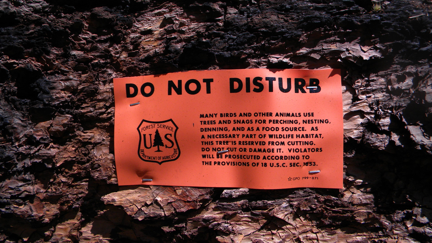
6249_Disturbing_Signs |
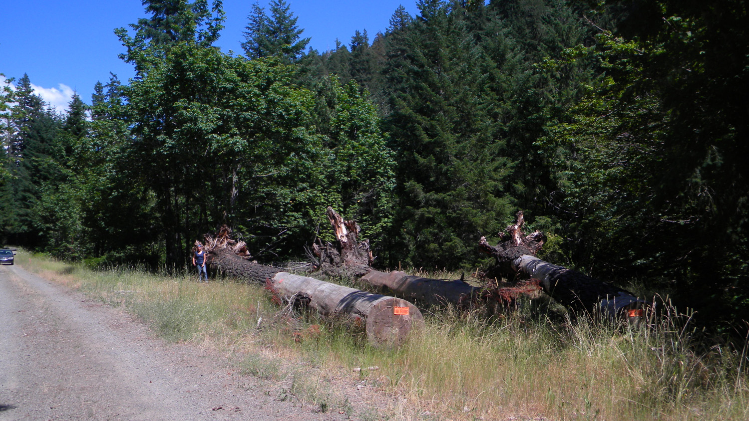
6250_Logs_and_Scales |
 |
 |
 |
 |
 |
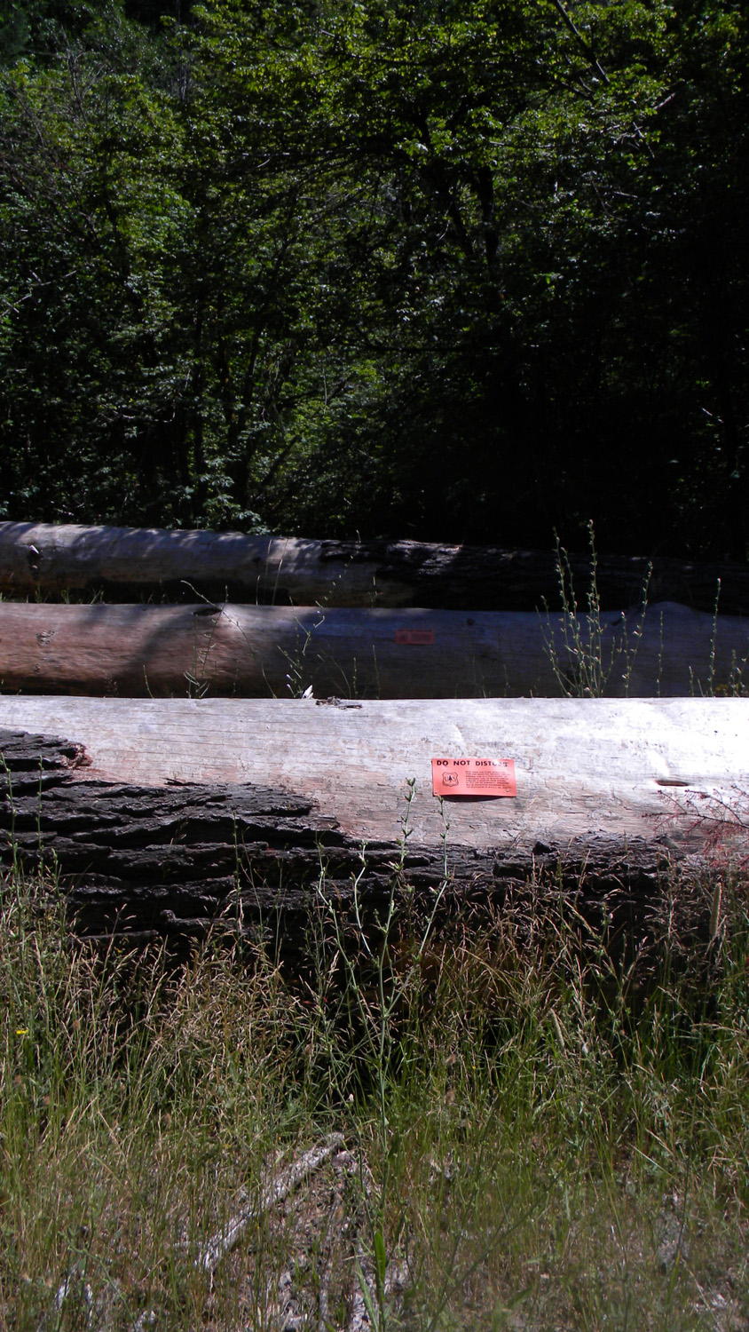
6251_Tagged_Logs |
6252_2947_Road_Trees |
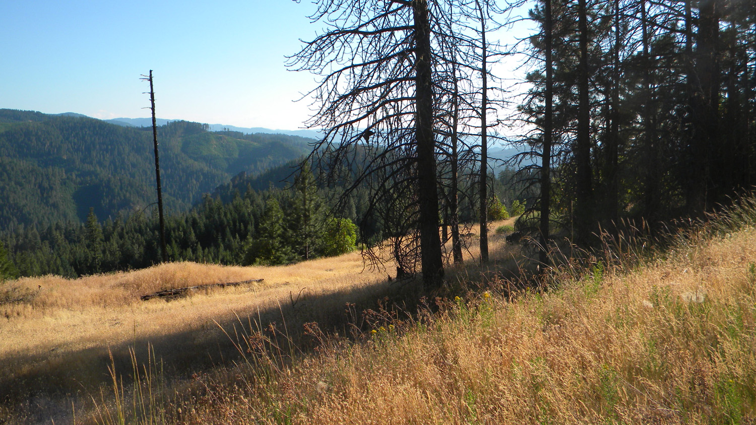
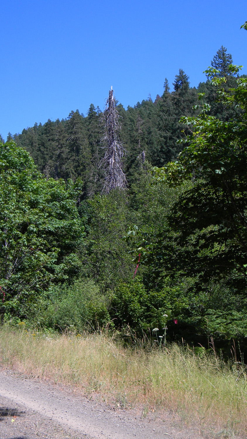
6311_370_Road_Trees |
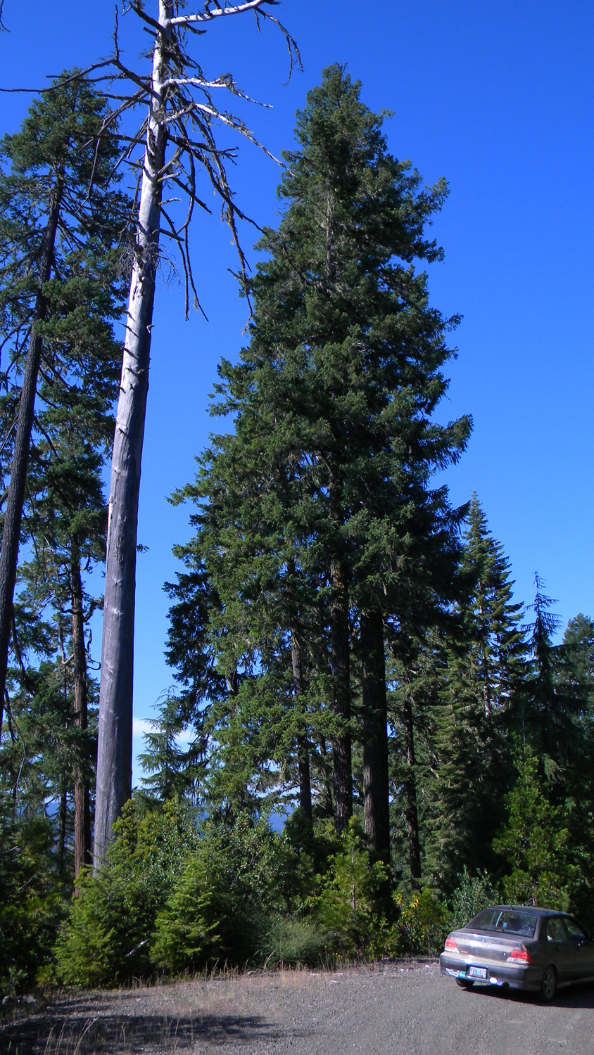
6313_370_Road_Trees |
6316_550_Road_Trees |
 |
||||
6318_550_Road_View |
![]()
© 2010, 2020 Oregon Websites & Watersheds Project, Inc. & NW Maps Co.