Upper
South Umpqua Headwaters Precontact Reference Study
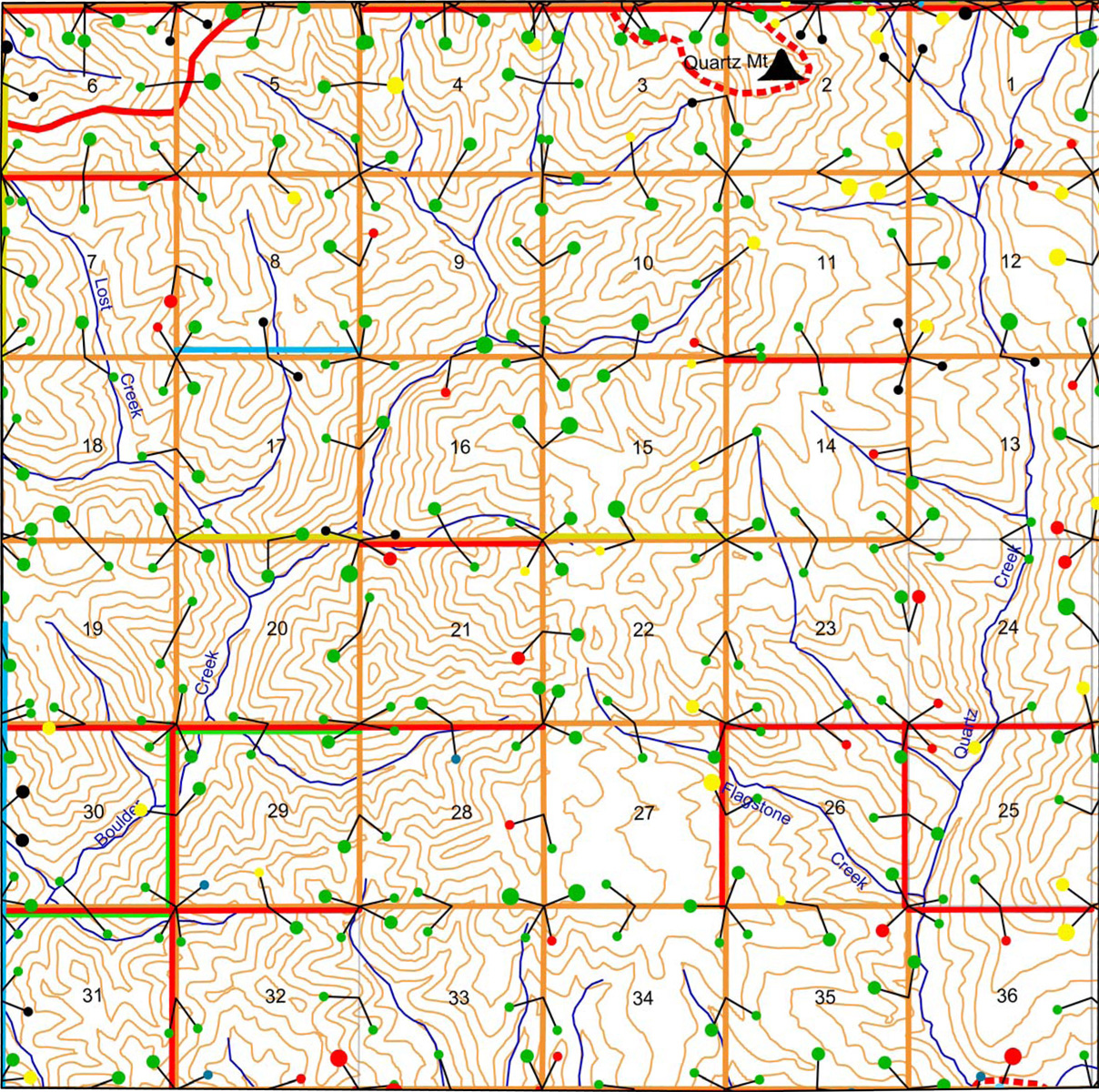
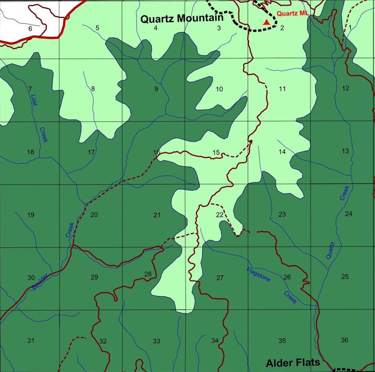
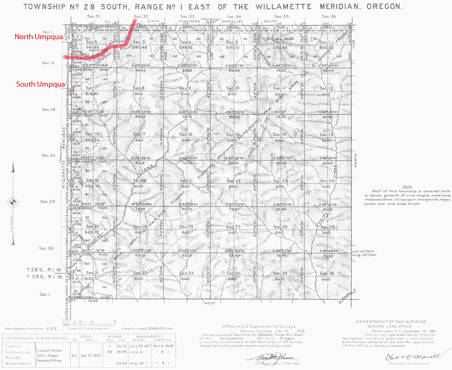
Tsp. 28 S., Rng. 1 E.
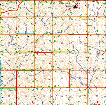
Tsp. 28 S, Rng. 1 E. was surveyed in 1927 and mapped in 1928 (Wilkes,
Draper, and Price 1928). Here are the typed survey notes Original Land Survey Notes.
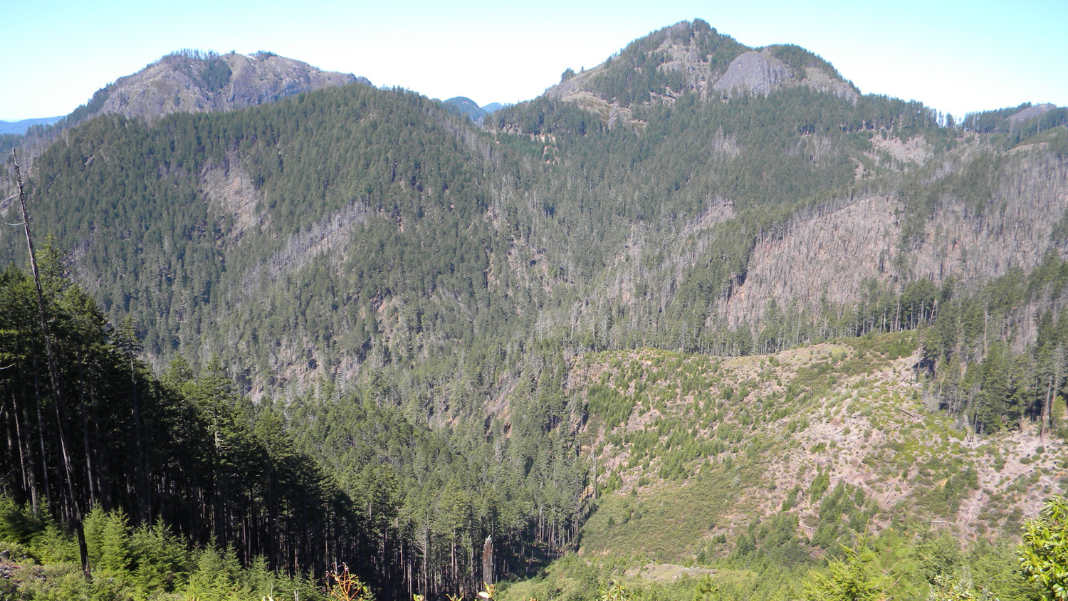
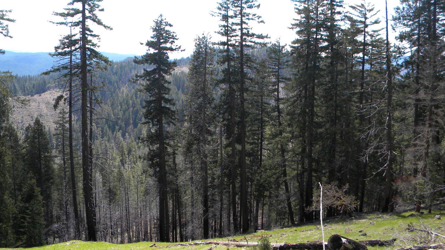
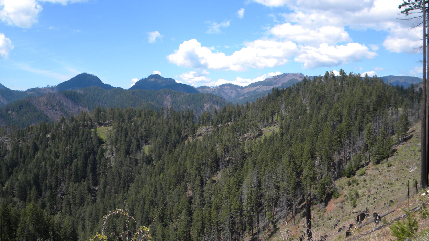
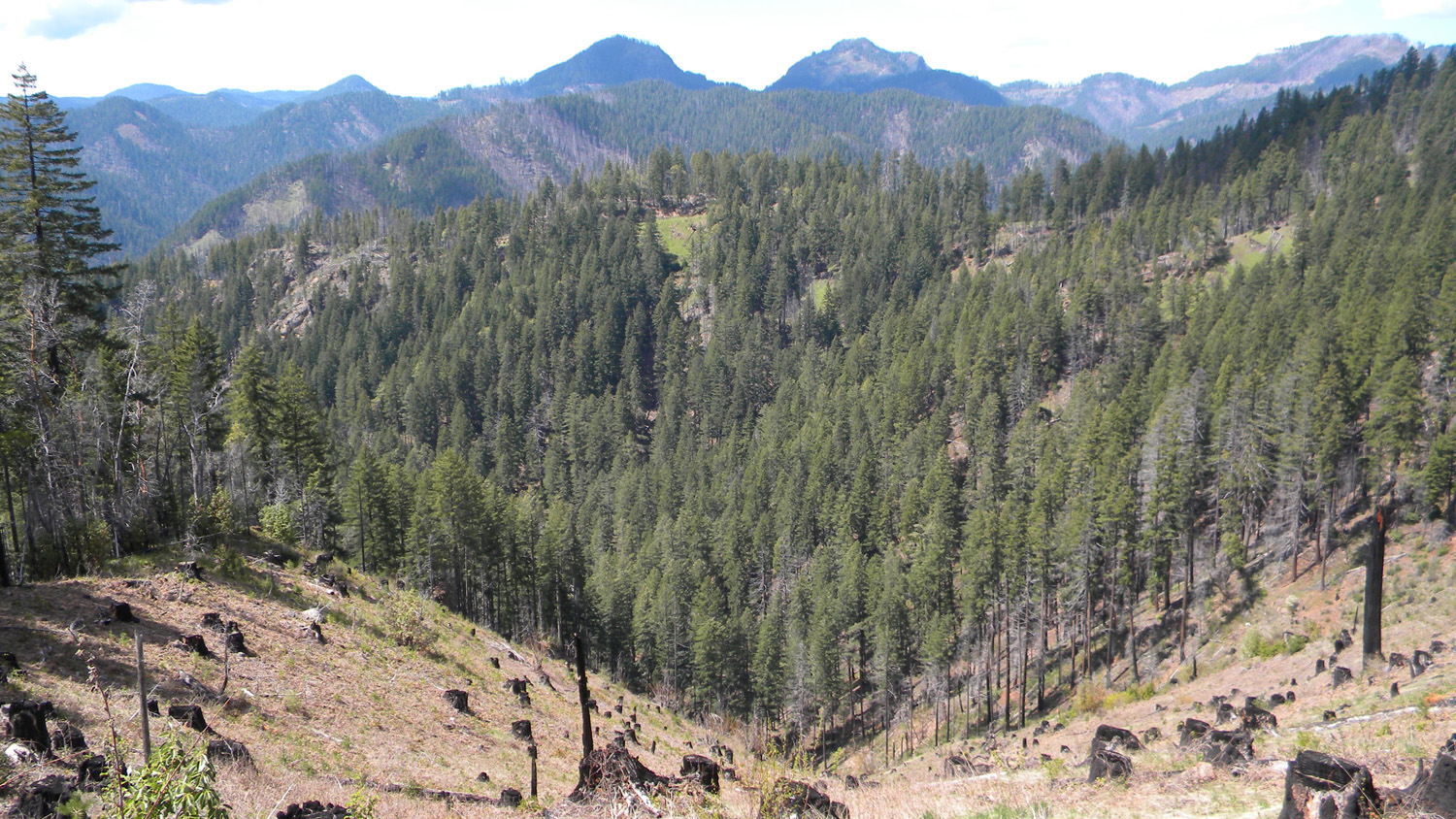
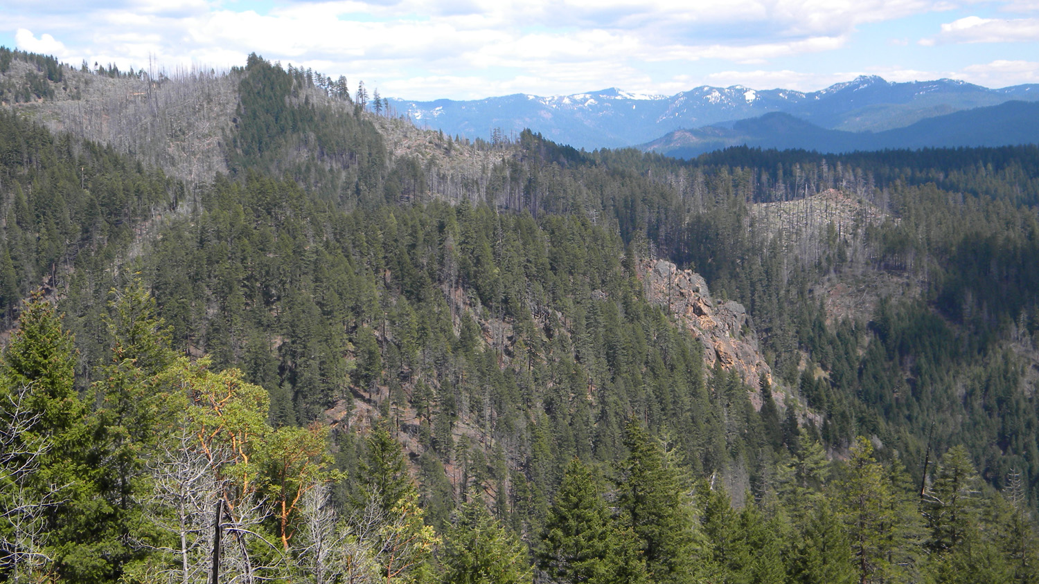
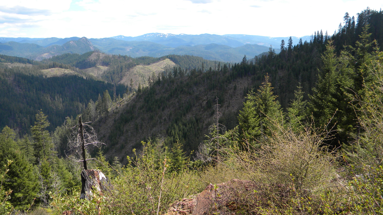
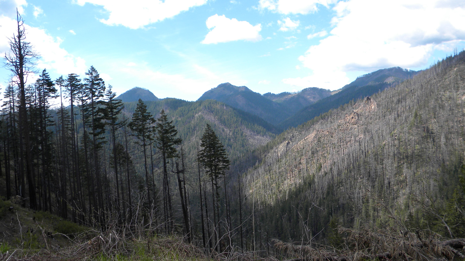
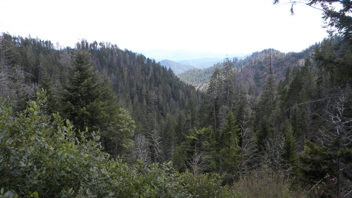
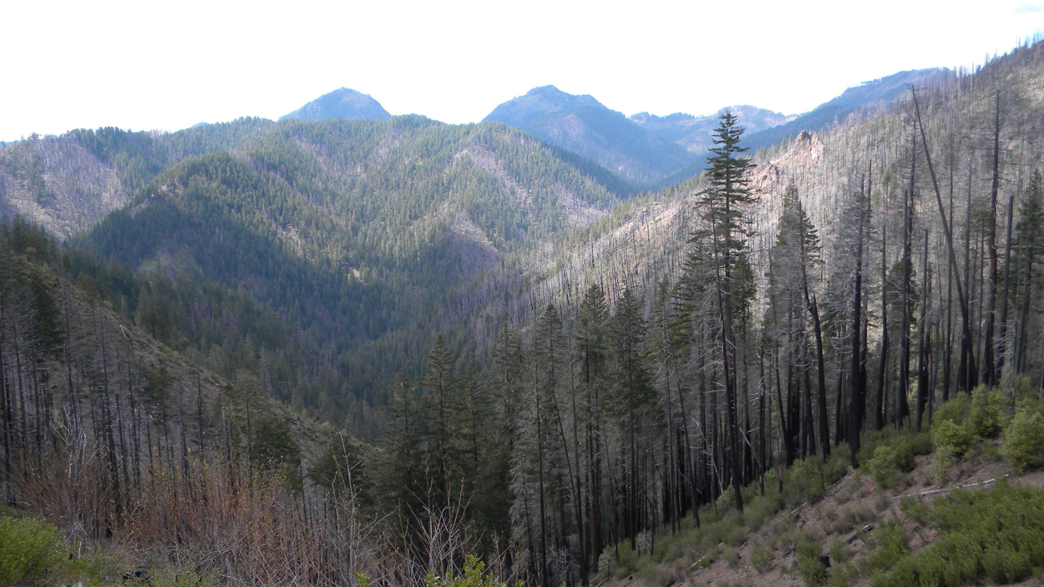
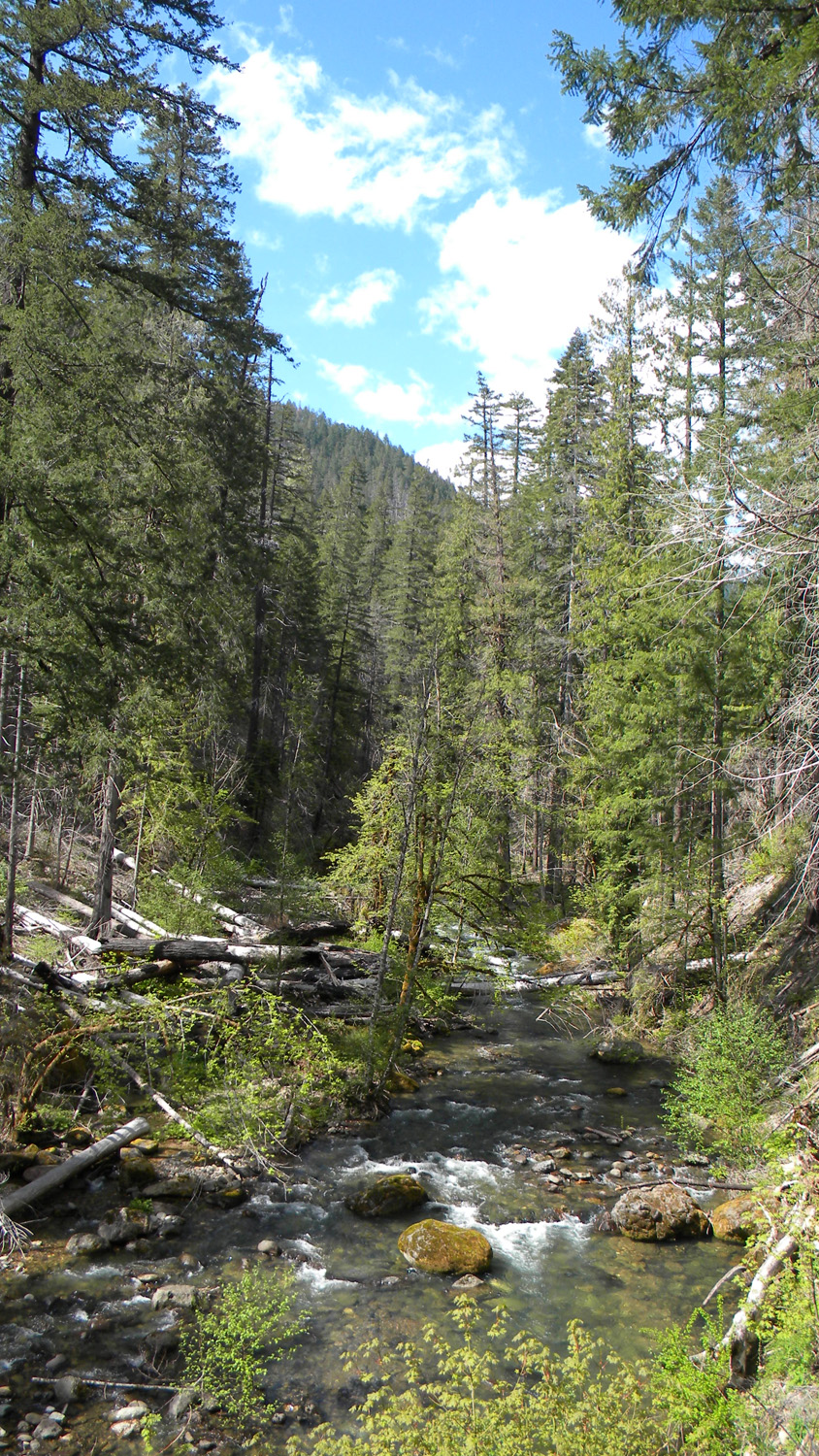
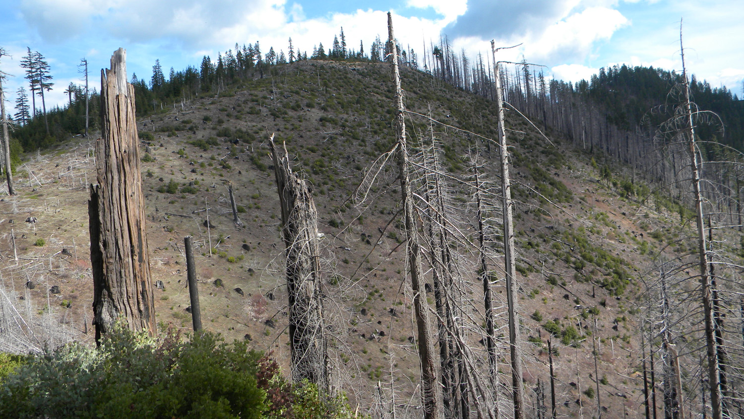
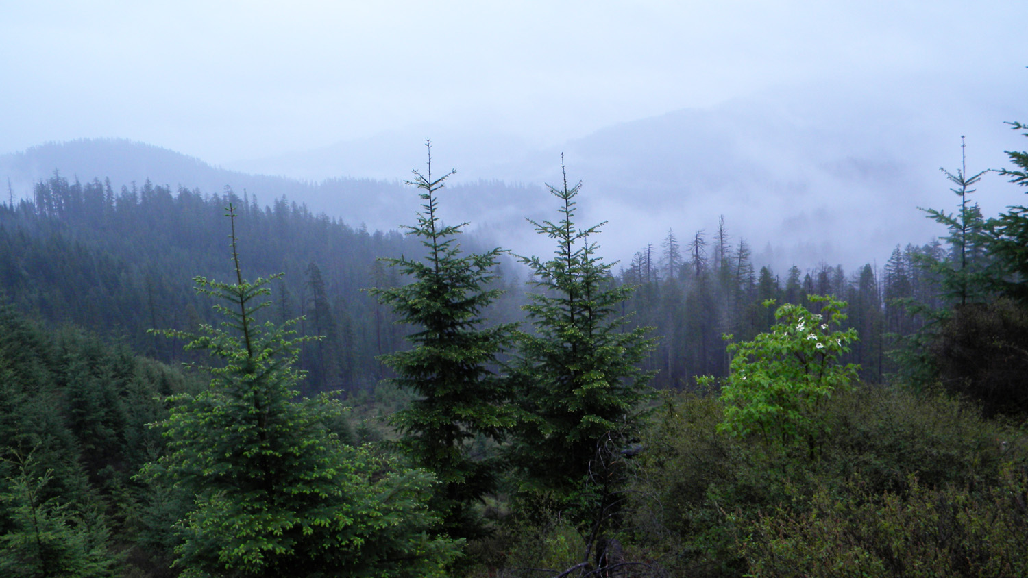
This township is located in the Upper
South Umpqua Headwaters Precontact Reference Study and
contains portions of two of the study's subbasins: Quartz
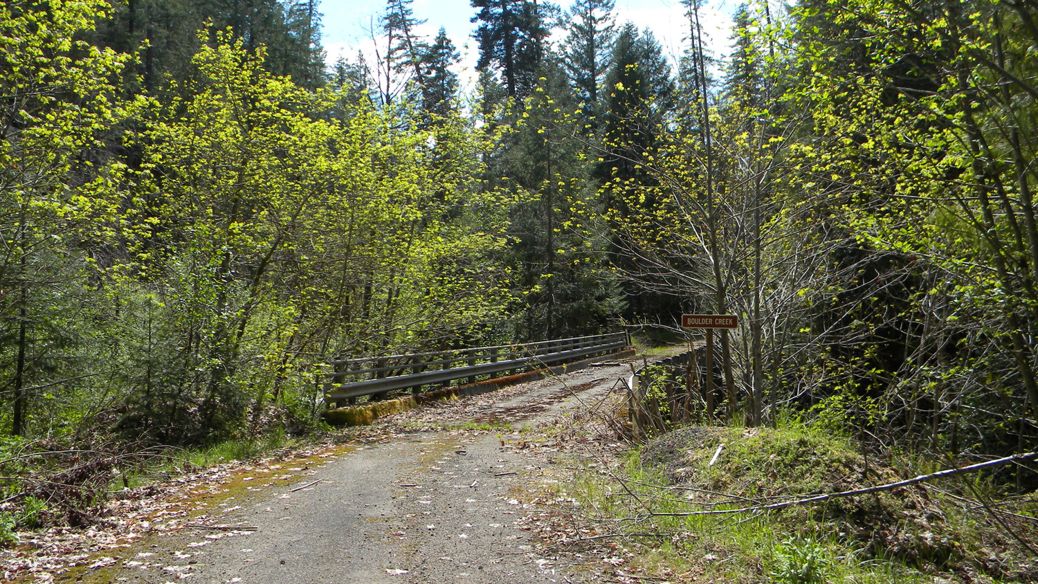
Creek subbasin to the east and the Boulder Creek subbasin to the west.It also contains portions of two of the study's Areas of Special Interest:
the Quartz
Mountain
Area, which also includes the former site of the Quartz Mountain Lookout, and the northern part of the Alder Flats Area.
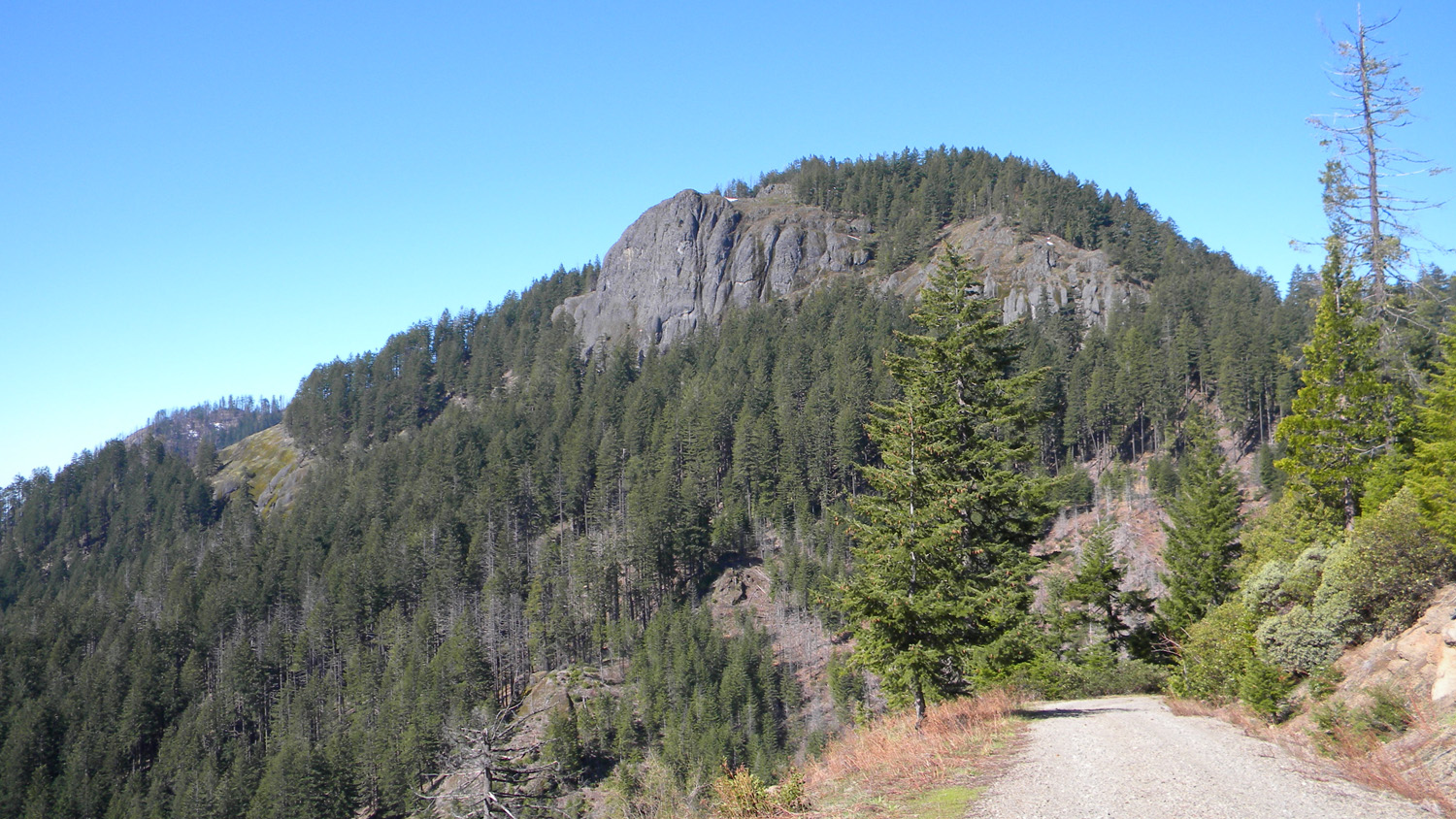
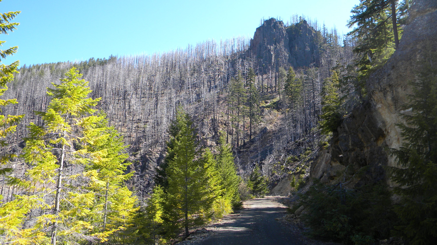
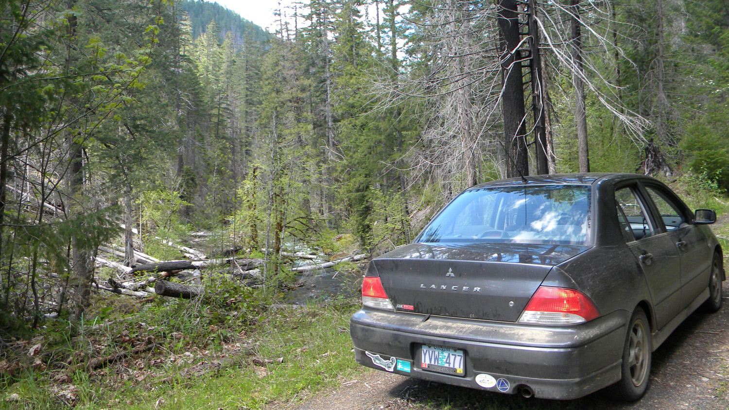
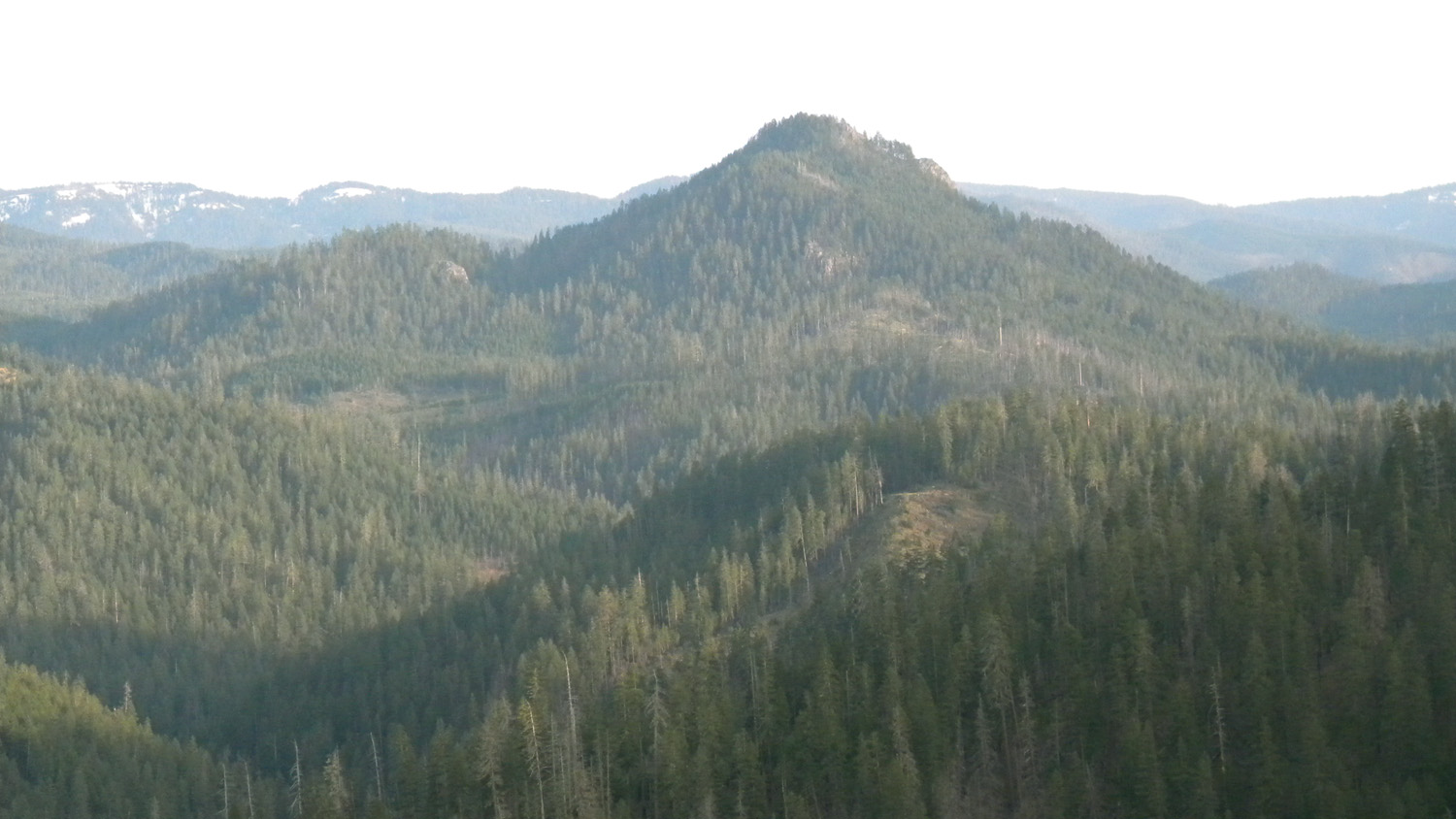
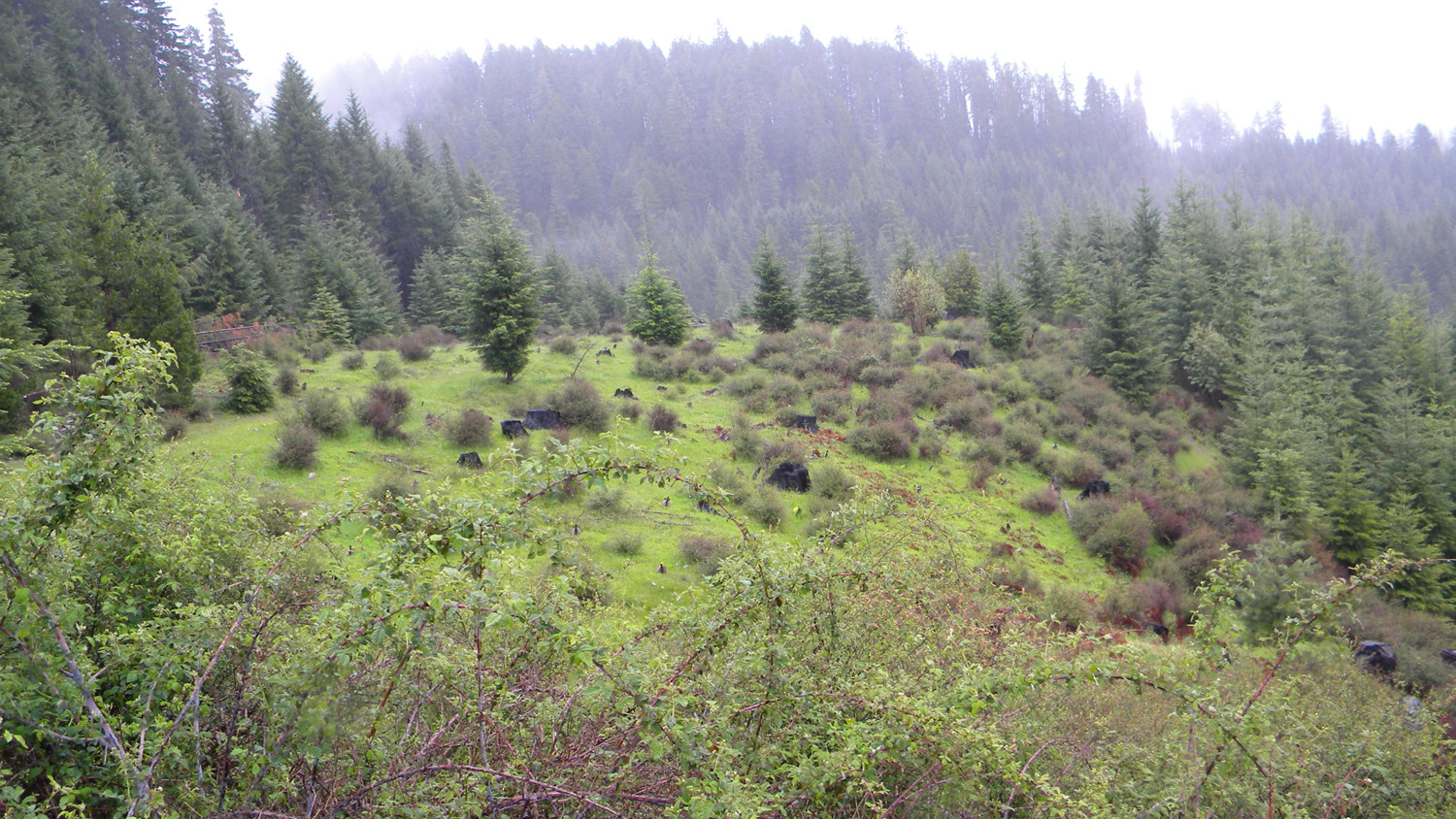
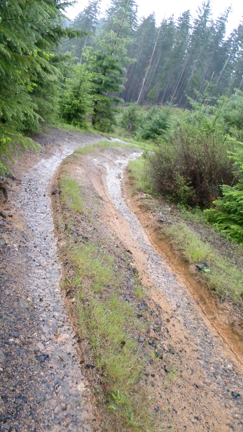
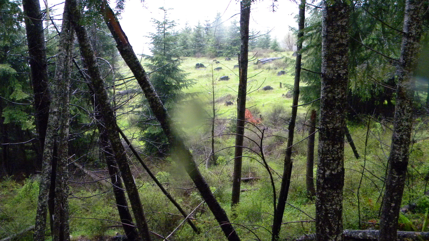
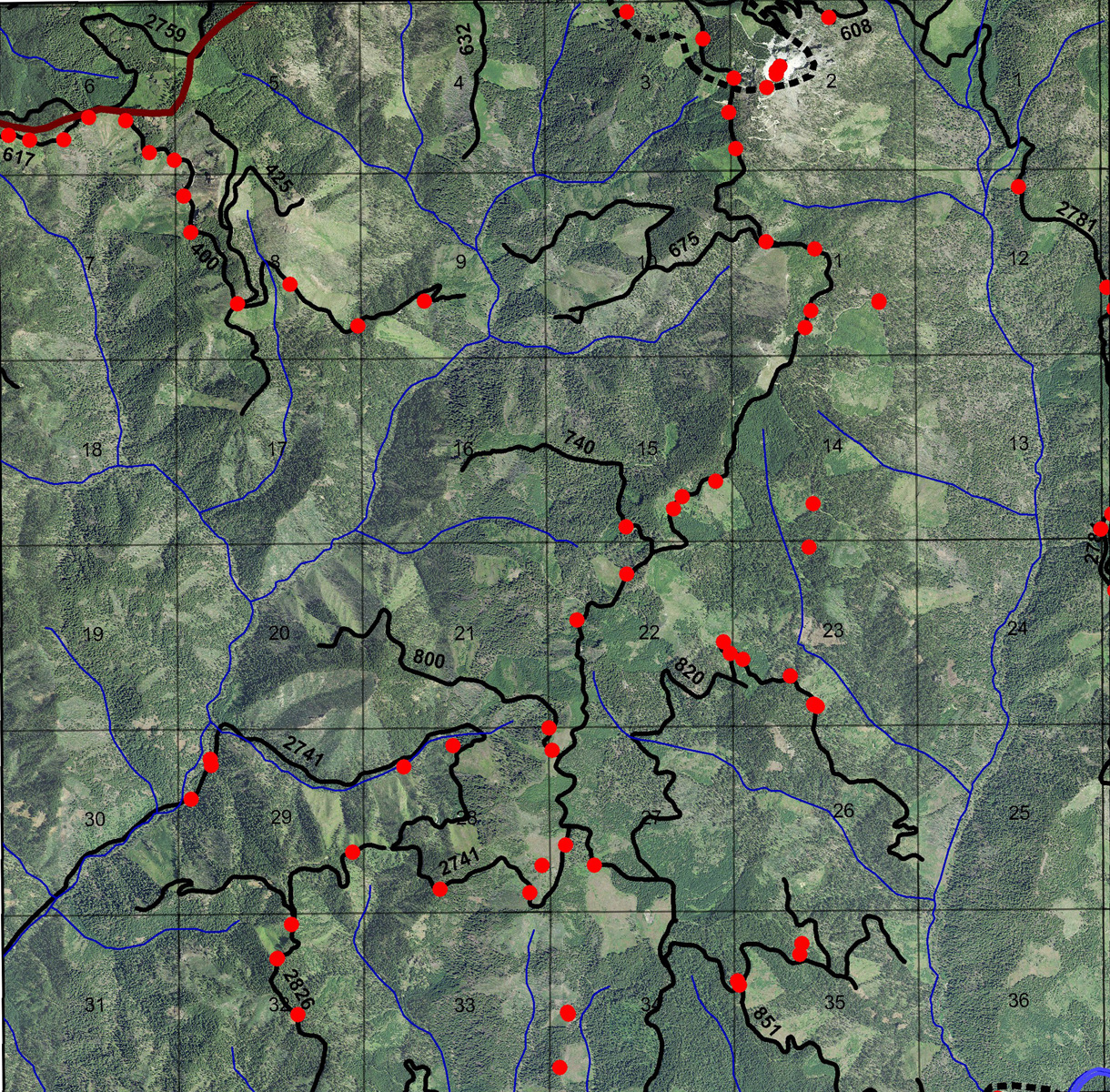
This page includes specific maps
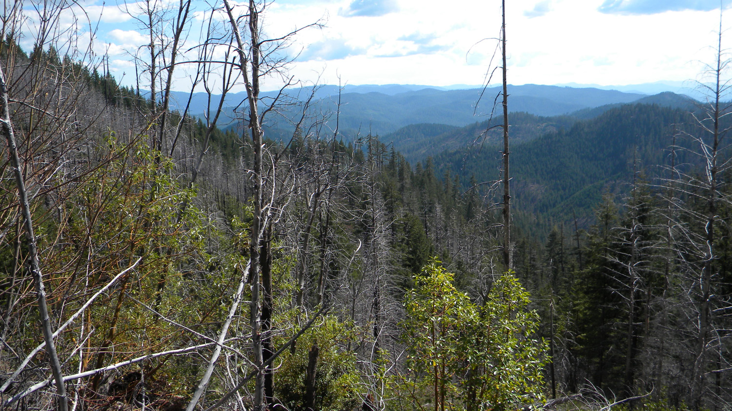
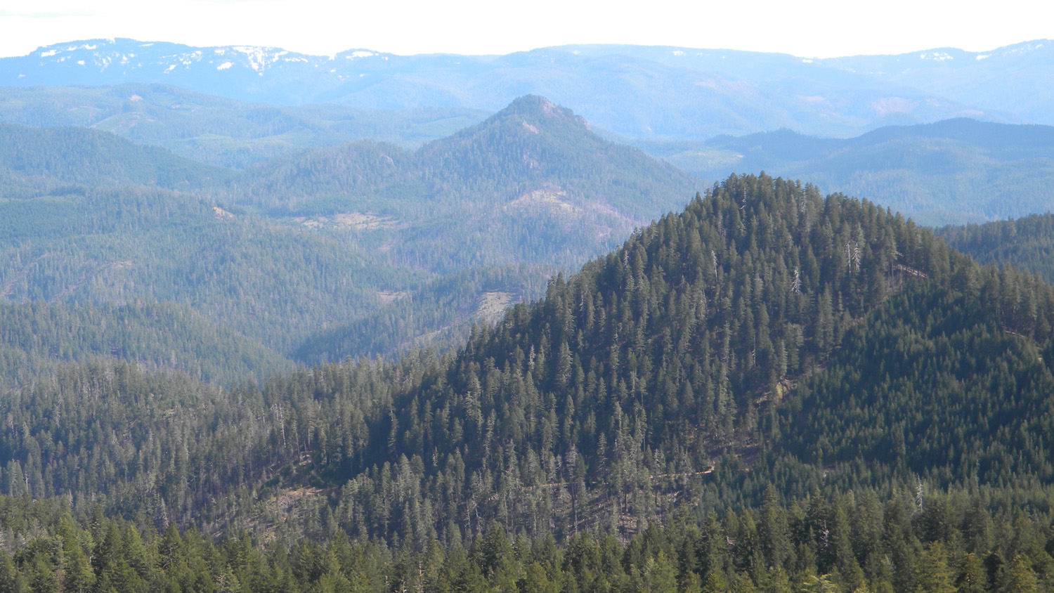
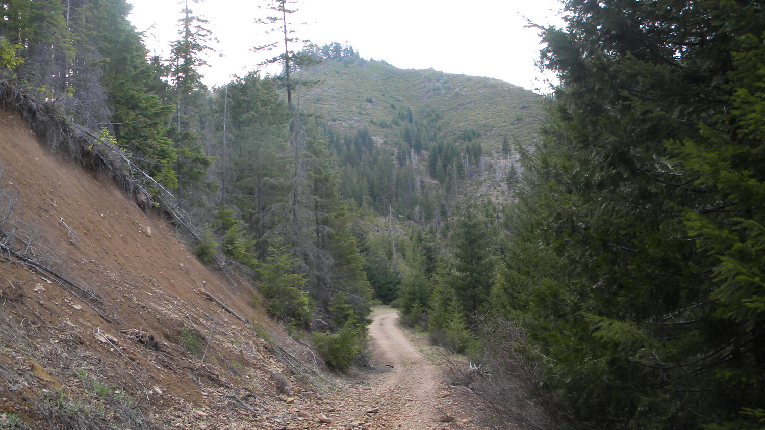
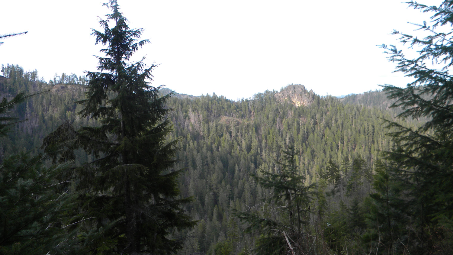
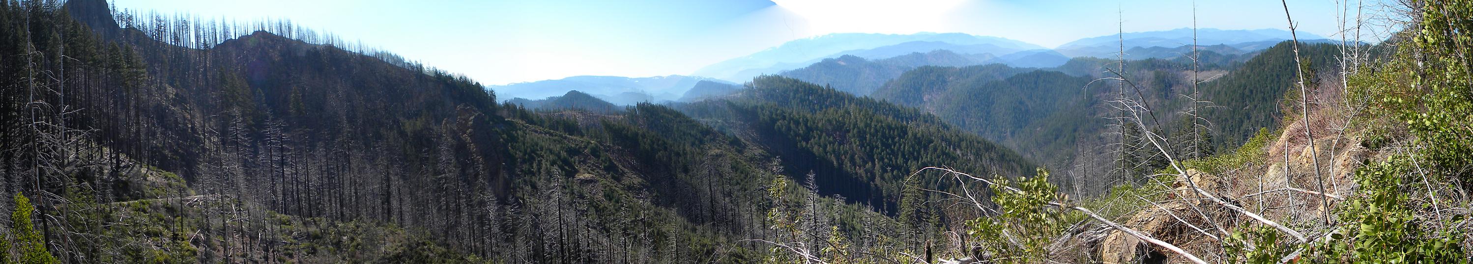
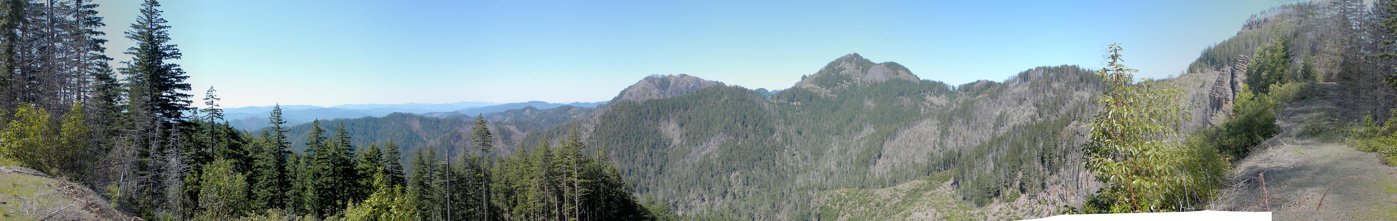
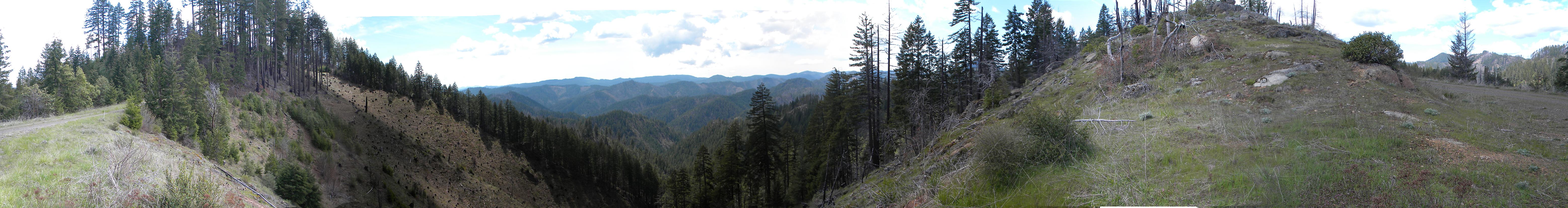
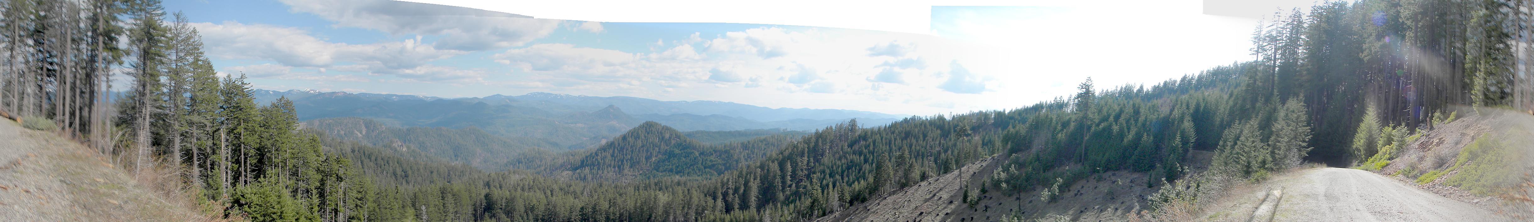
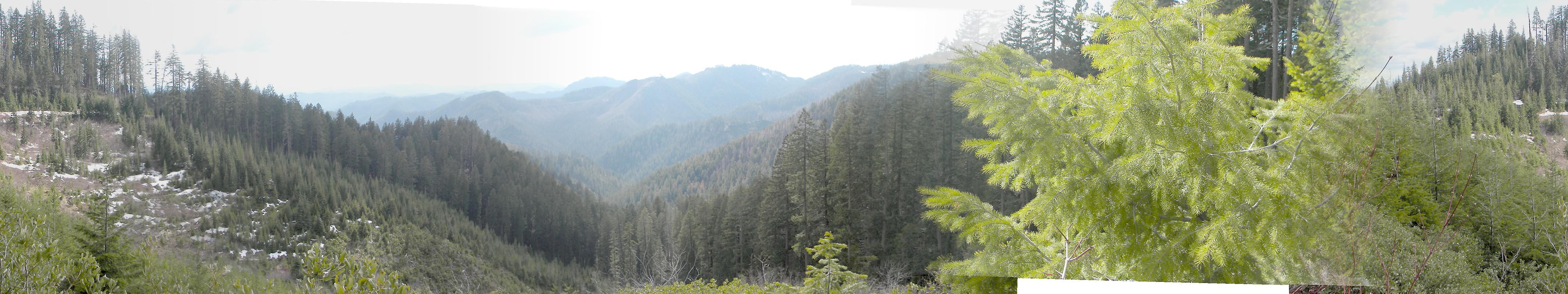
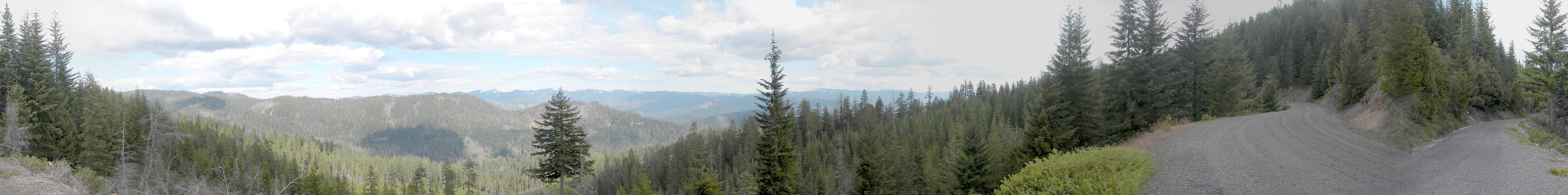
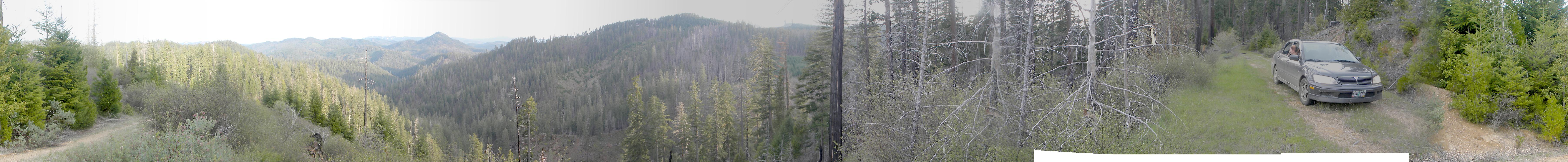
and aerial photographs of Pickett Butte, panoramas
and QTVR video files constructed from the 2010 field research
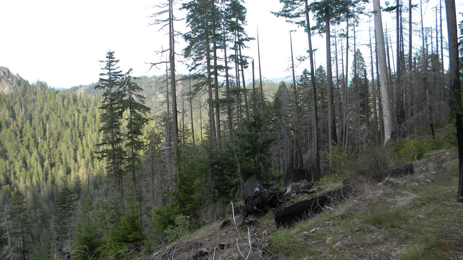
studies, and individual historical
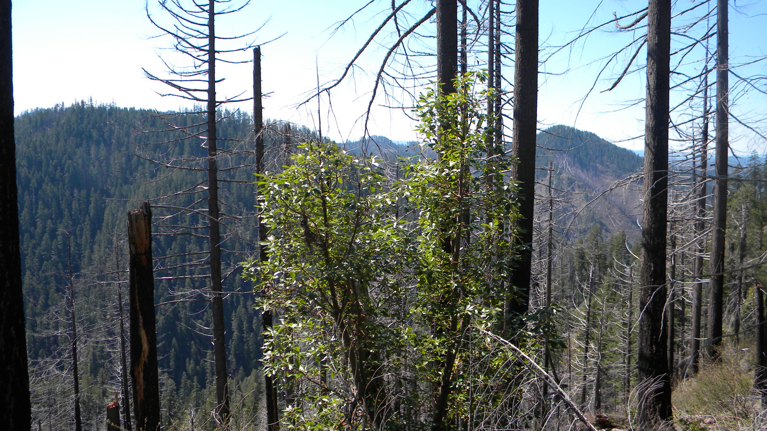
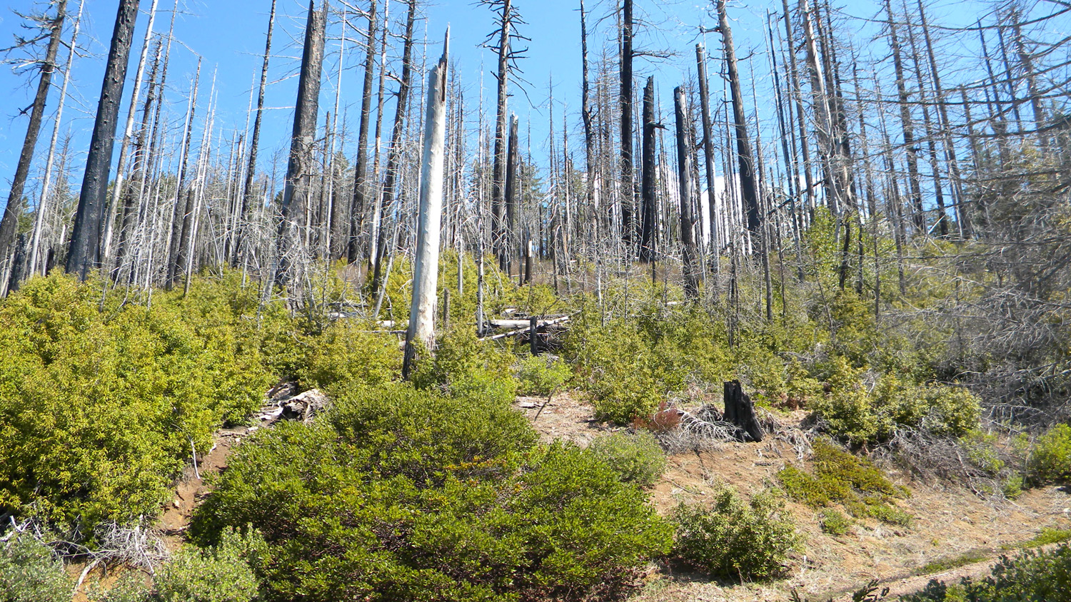
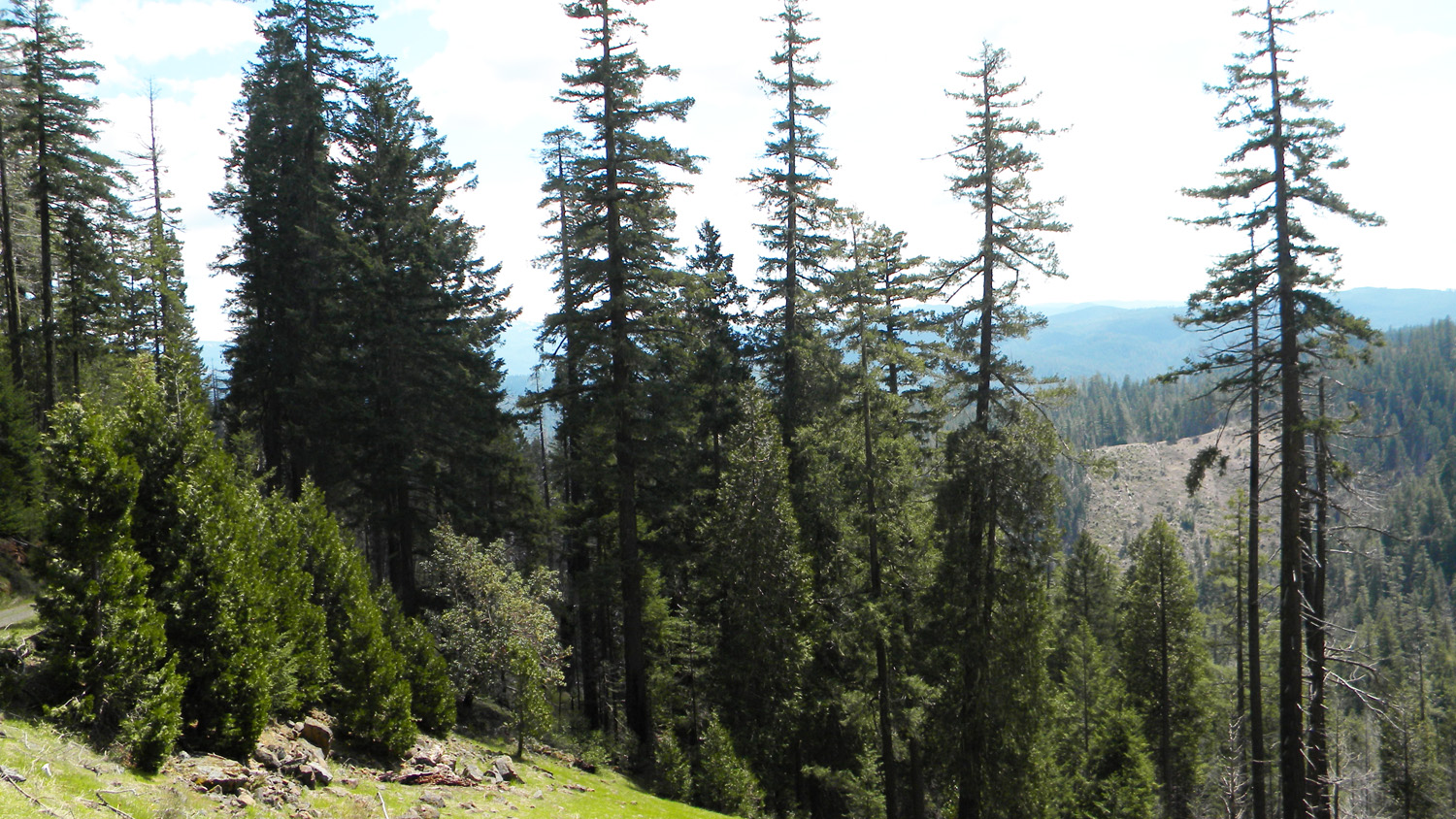
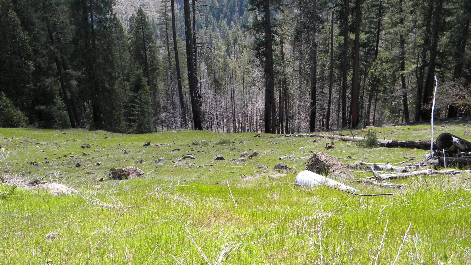
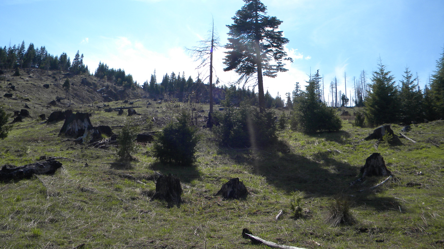
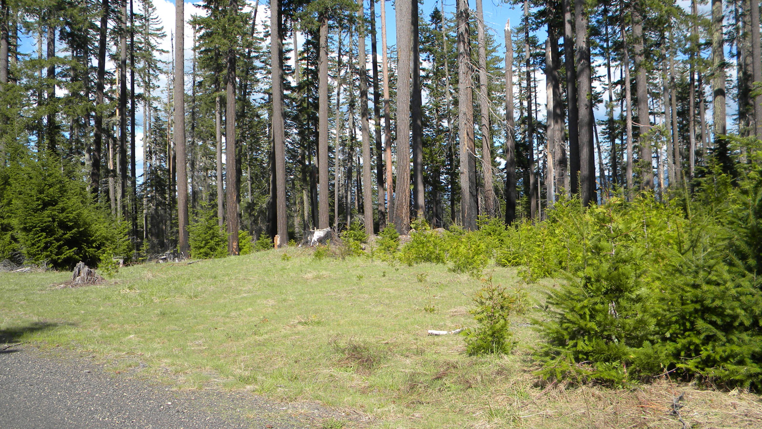
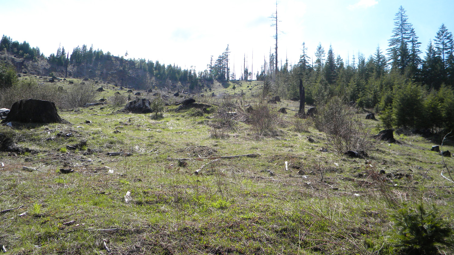
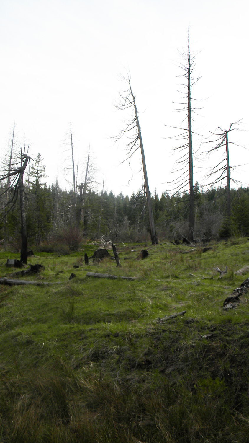
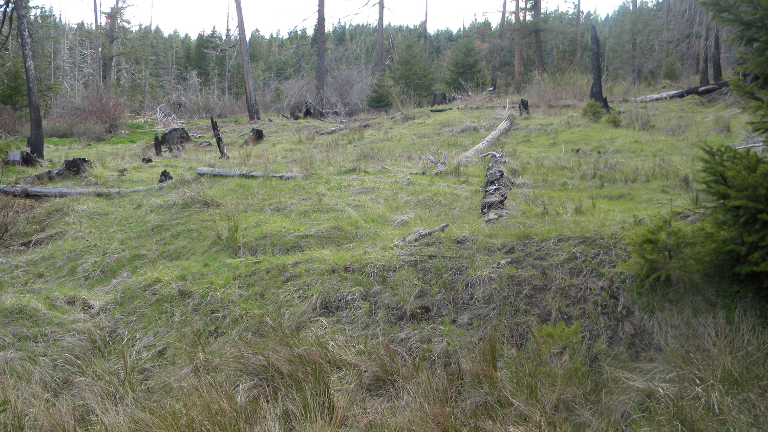
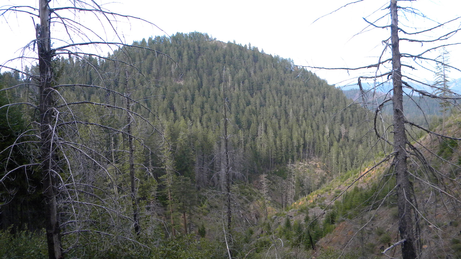
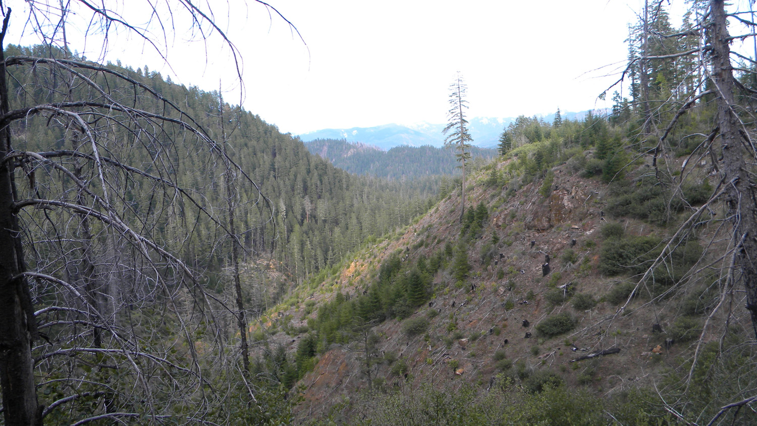
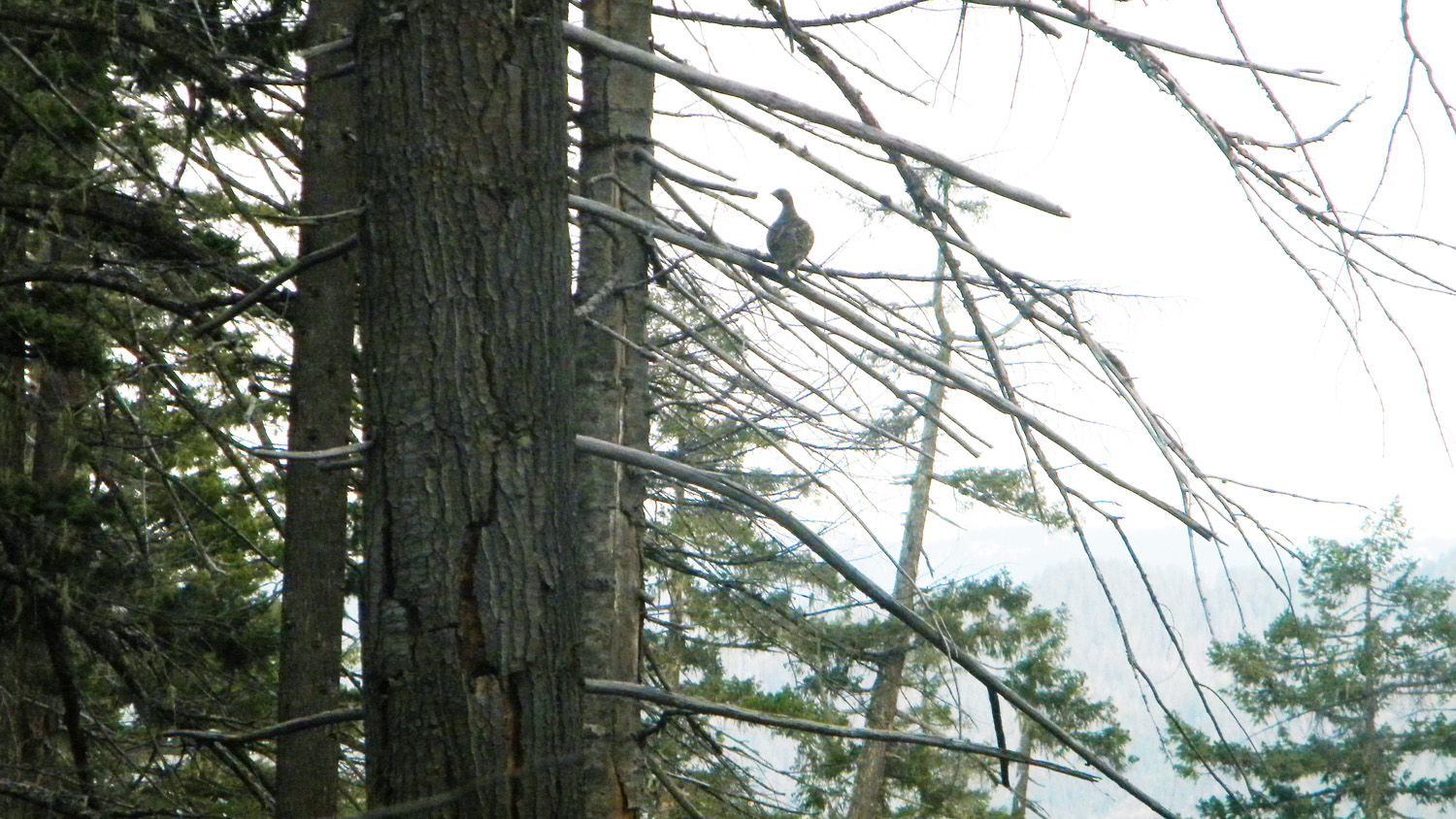
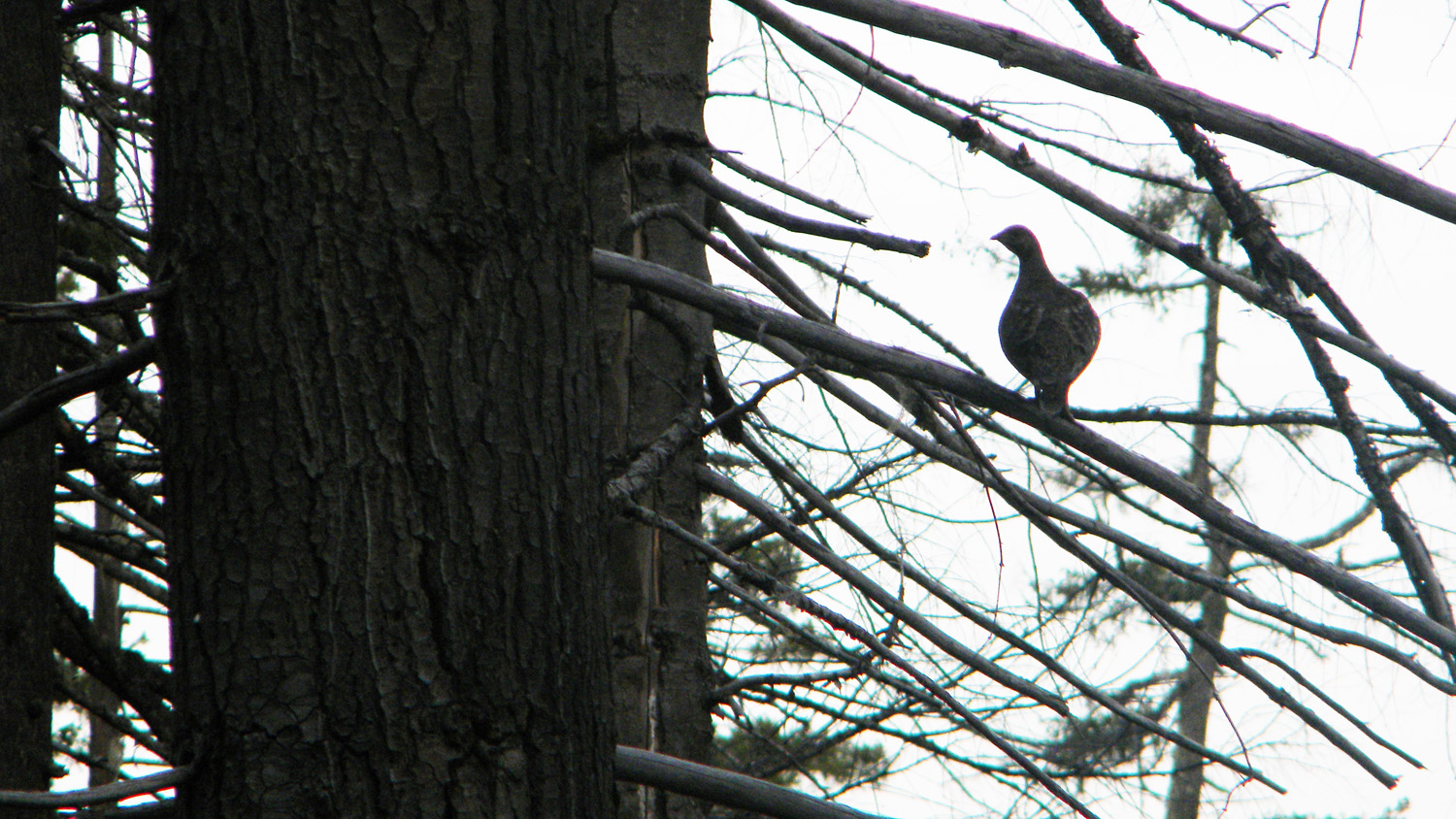
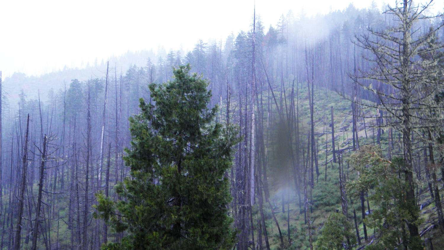
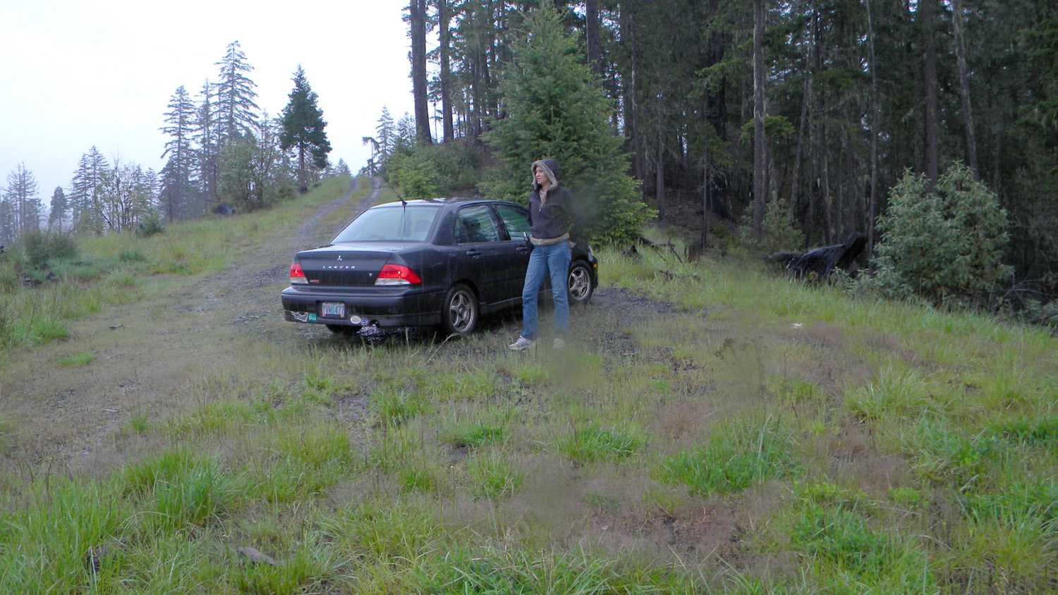
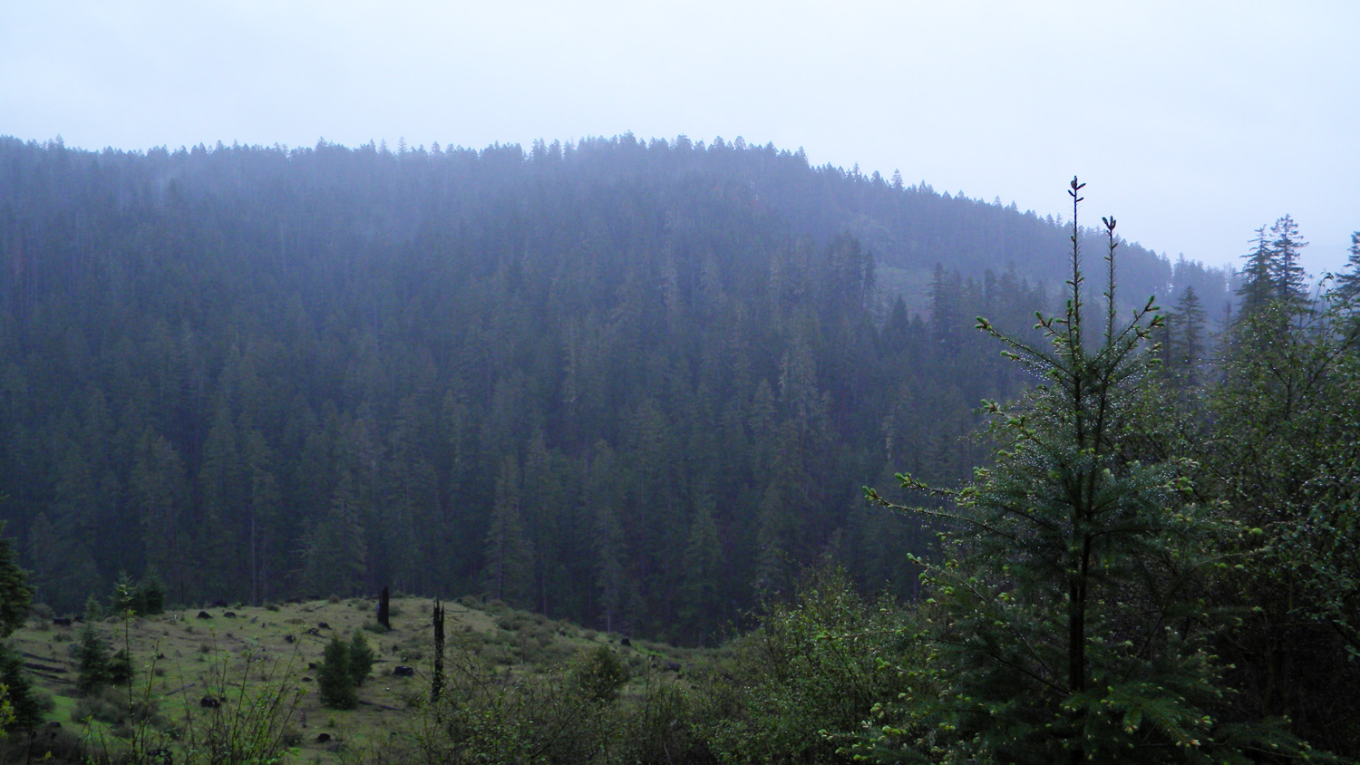
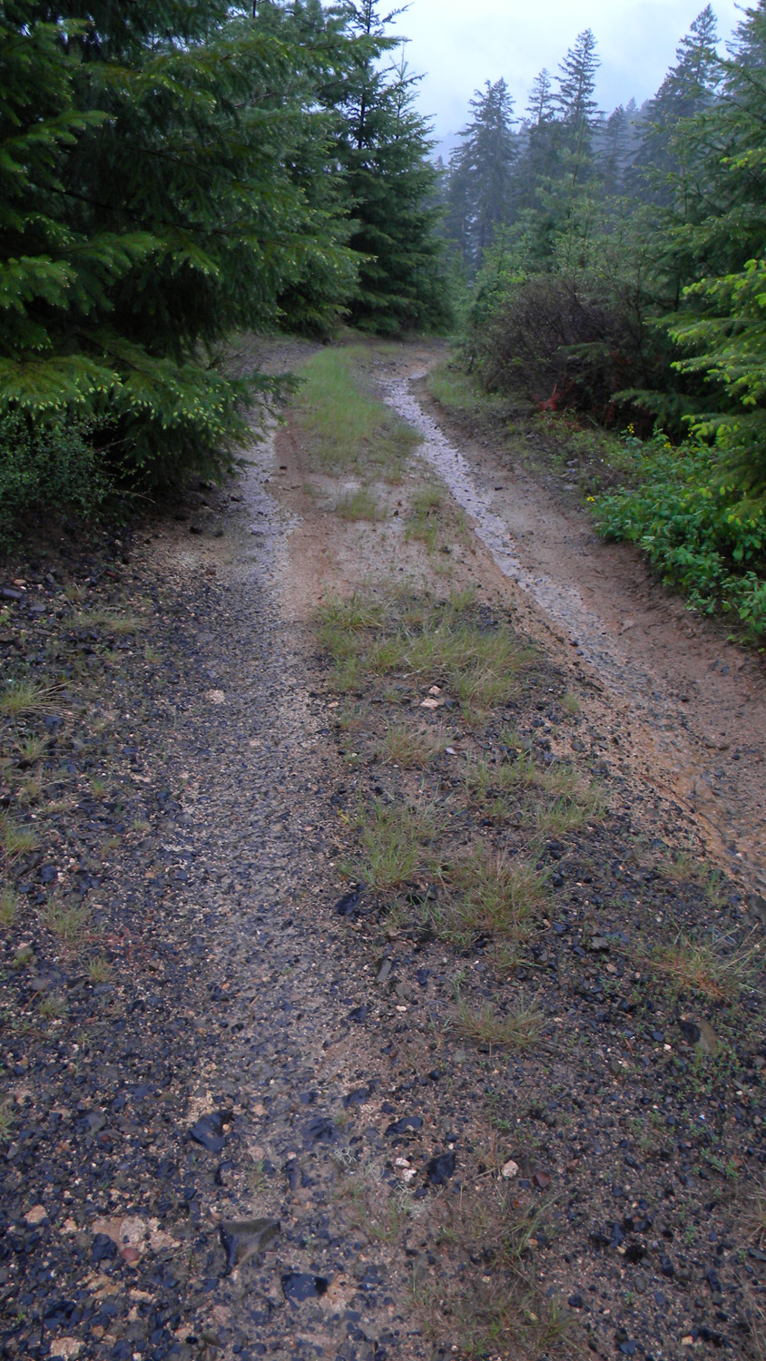
and 2010 documentary photographs showing current condtions,
native plants and animals, and other points of interest related to this
study area.
Maps and Aerial
Photographs
Panoramas and QTVRs
| 2380-2389_617_Road_View-360 |
|
|
JPG
QTVR
|
| 2404-2407_400_Road_View-180/ |
|
|
JPG QTVR |
| 2432-2438-400_Road_View-180 |
|
|
JPG QTVR |
2441-2450_400_Road_View-360 |
|
|
|
|
JPG QTVR |
2455-2463_425_Road-360 |
|
JPG
QTVR |
2568-2577_2826_Road-360 |
|
|
2579-2588_2826_Road-360 |
|
|
2592-2597_2826_Road-180 |
|
|
2598-2607_2826_Road-360 |
|
|
2650-2658_2741_Road-360 |
|
|
2665-2670_27_Road_View-180 |
|
|
2674-2677_27_Road_View-180 |
|
|
2690-2695_27_Road-180 |
|
|
2713-2717_27_Road_View-180 |
|
|
2727-2732_740_Road_View-180 |
|
|
2763-2768_824_Road-180 |
|
|
2790-2797_824_Road-180 |
|
|
4136-4141_890_Road-180 |
|
|
4144-4150_890_Road_End-180 |
|
|
4181-4185_Wetland-180 |
|
JPG
QTVR |
4482-4492_635_Road_End-360 |
|
JPG
QTVR |
|
|
|
Photographs
|
|
|
|
|
2390_Road |
|
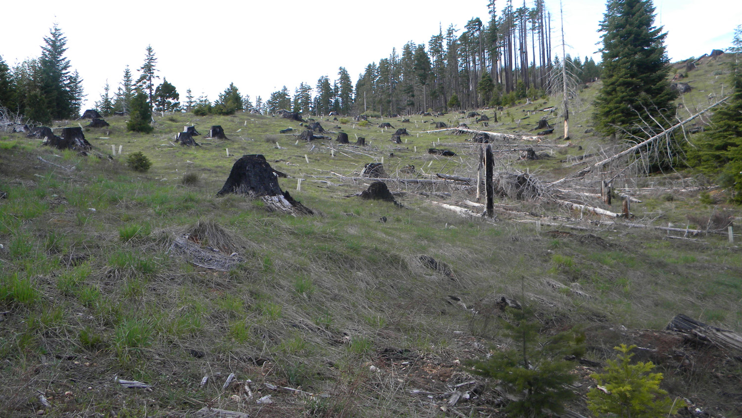
2411_Burn |
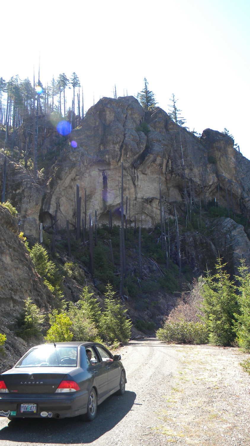
2413_400_Road_Burn |
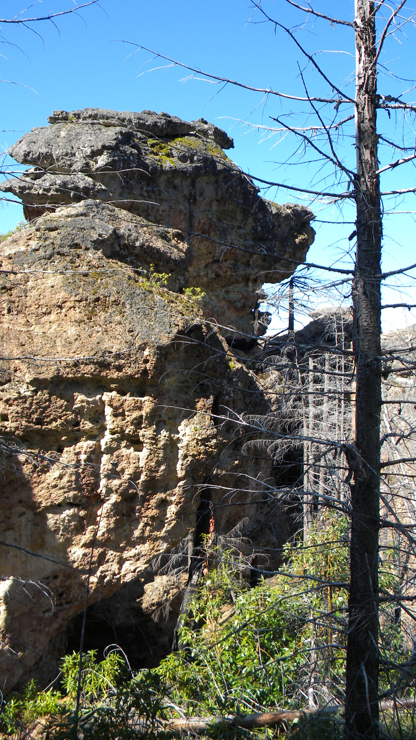
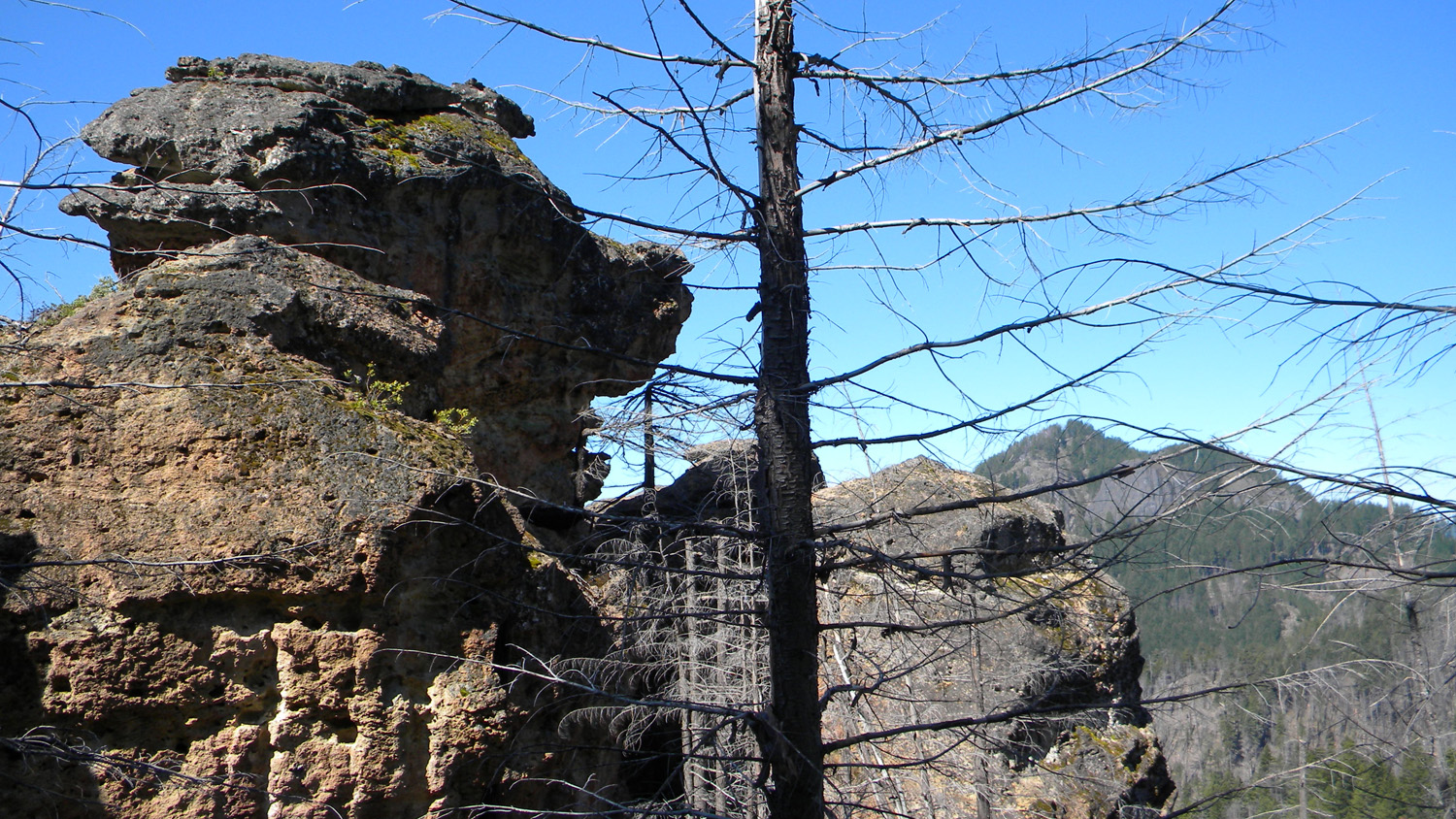
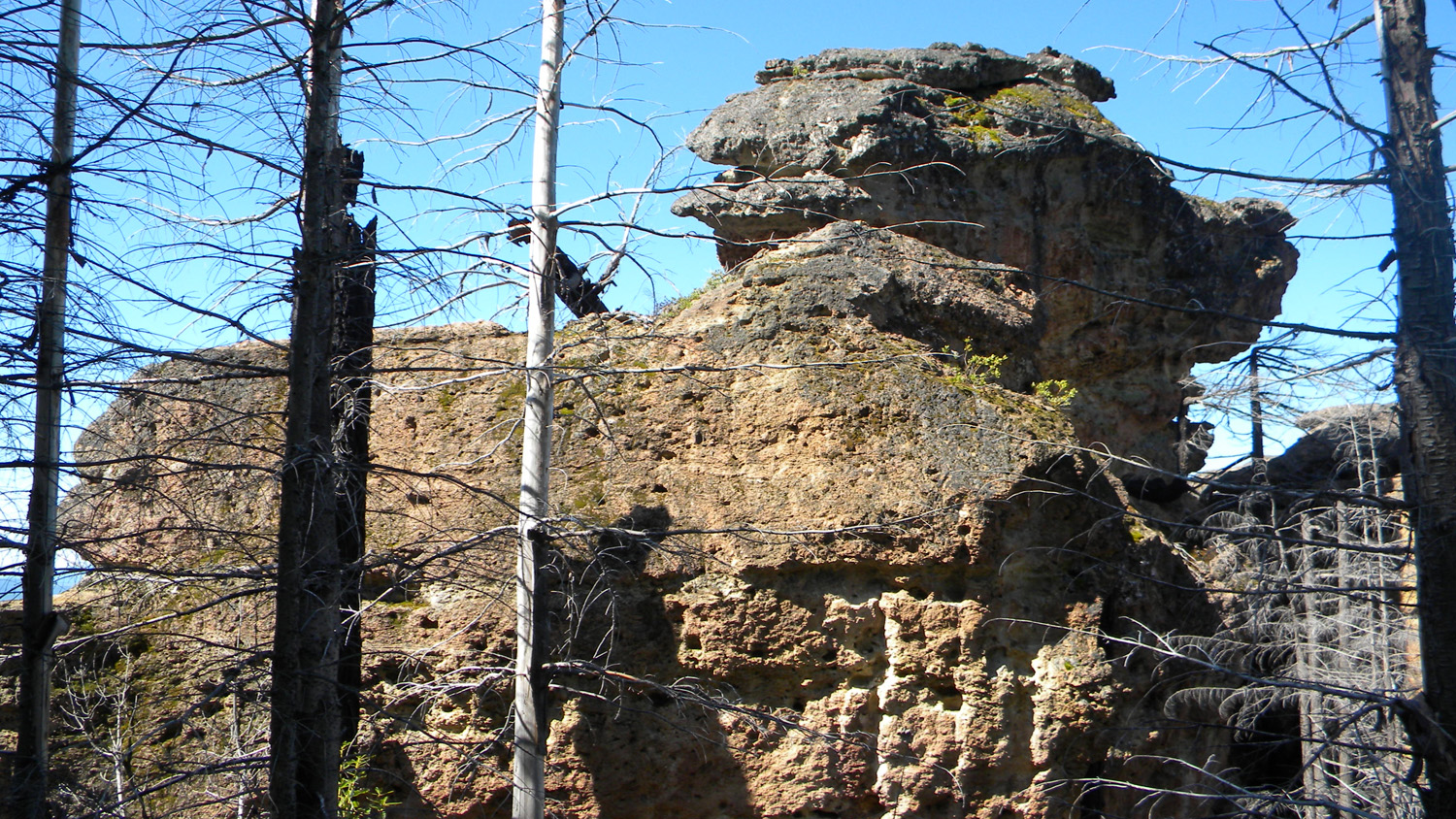
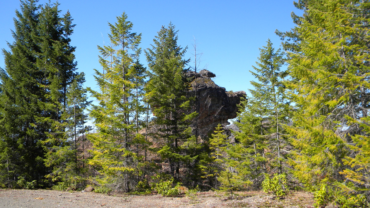
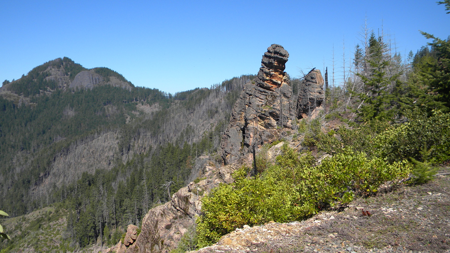
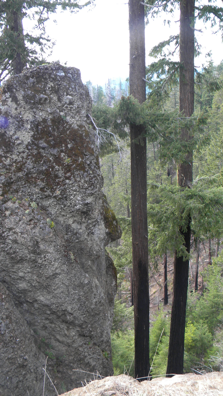
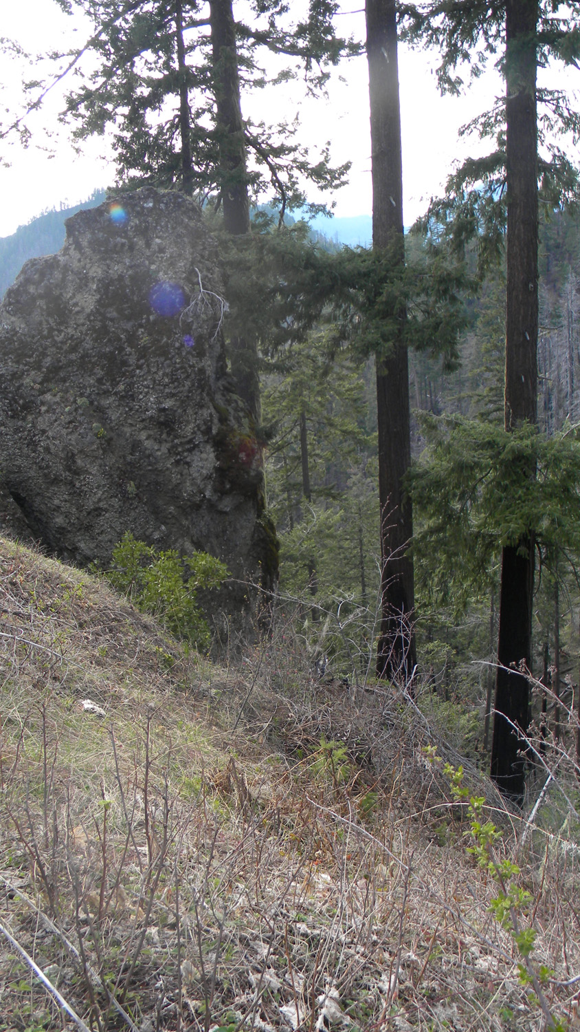
2414_Pig_Rock |
|
|
|
|
|
2415_Pig_Rock |
2414_Pig_Rock |
2417_400_Road_Burn |
2418_400_Road |
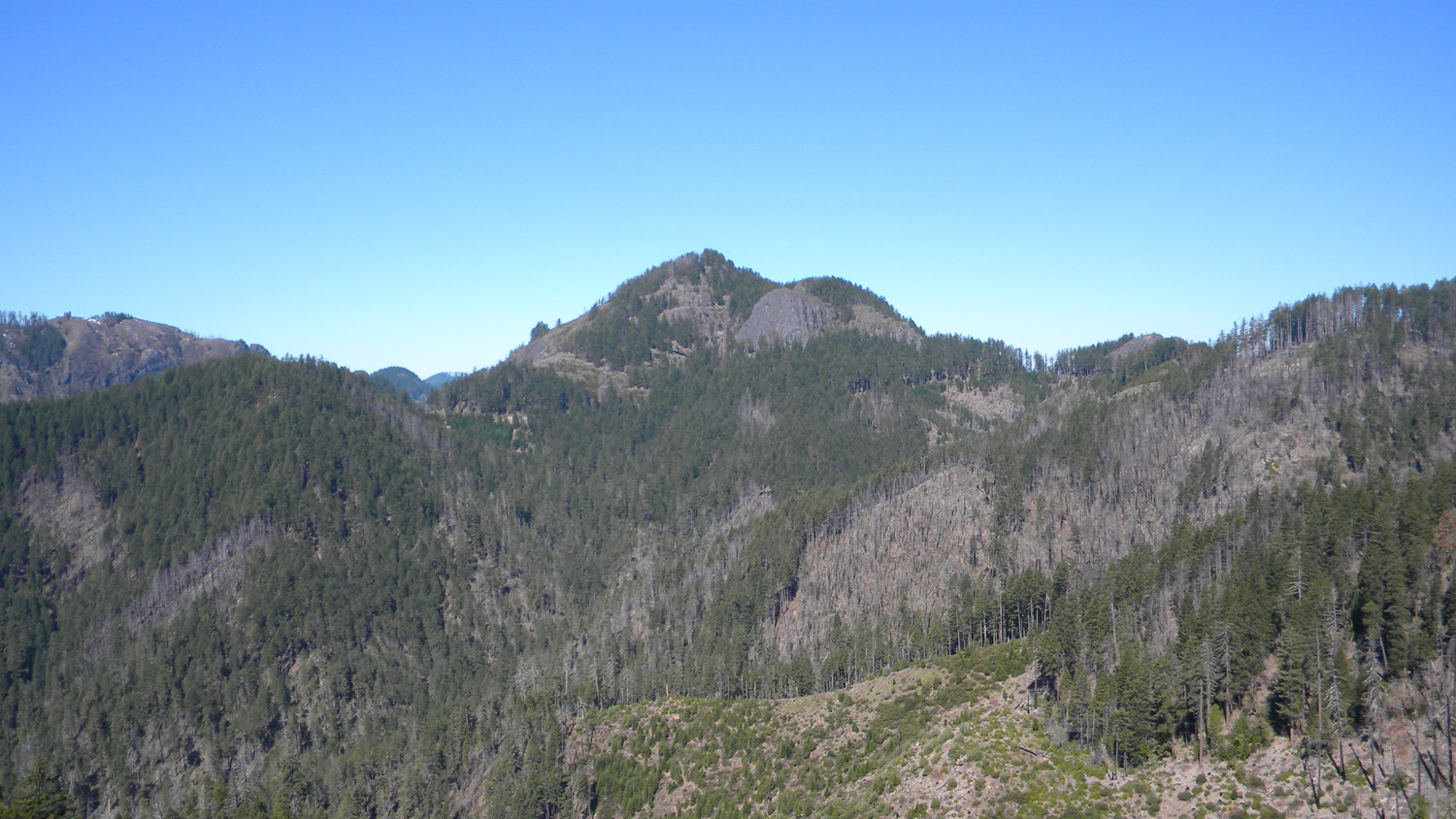
2419_Black_Butte |
|
|
|
|
|
2420_Black_Butte |
2421_Road_Black |
2422_Pig_Rock |
2423_Rock_Road |
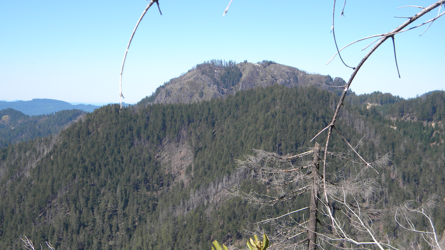
2424_Big_Squaw_Mountain |
|
|
|
|
|
2426_Big_Squaw_Mountain |
2427_400_View_Road |
2428_Pig_Rock |
2430_Road_Rock |
2431_Pig_Rock |
|
|
|
|
|
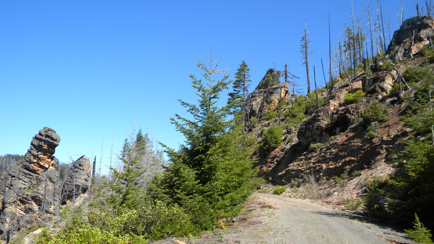
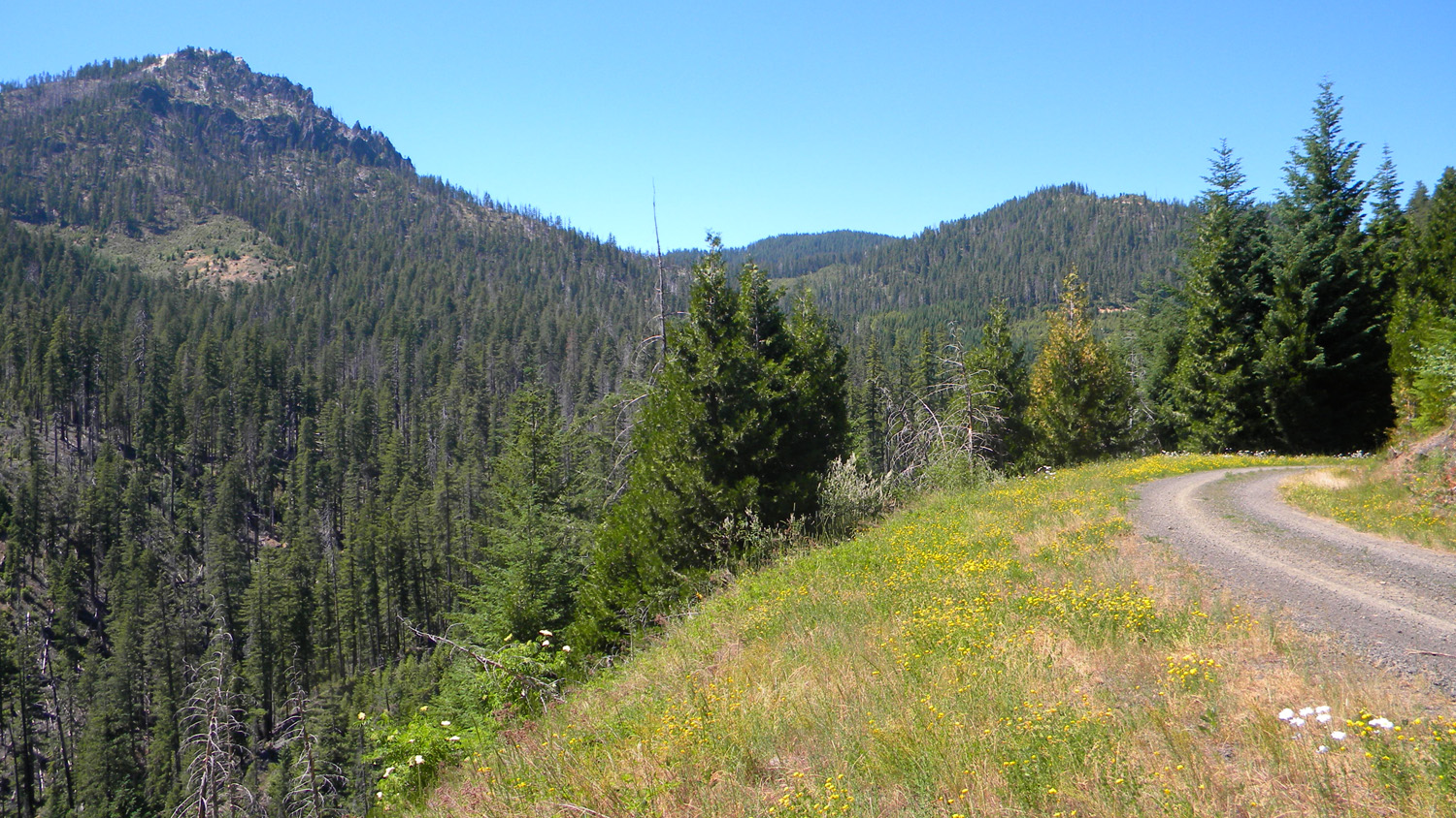
2434_Road_View |
2439_Road_View |
2440_400_Road |
2451_Road_View |
2452_400_Road_View |
|
|
|
|
|
2453_400_Road_Blocked |
2454_400_Road_Blocked |
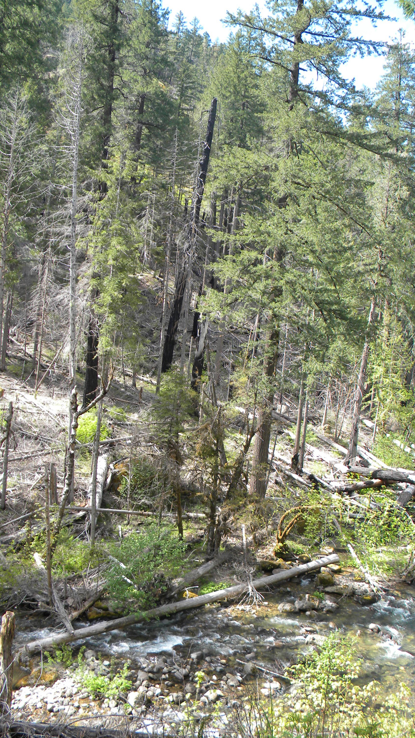
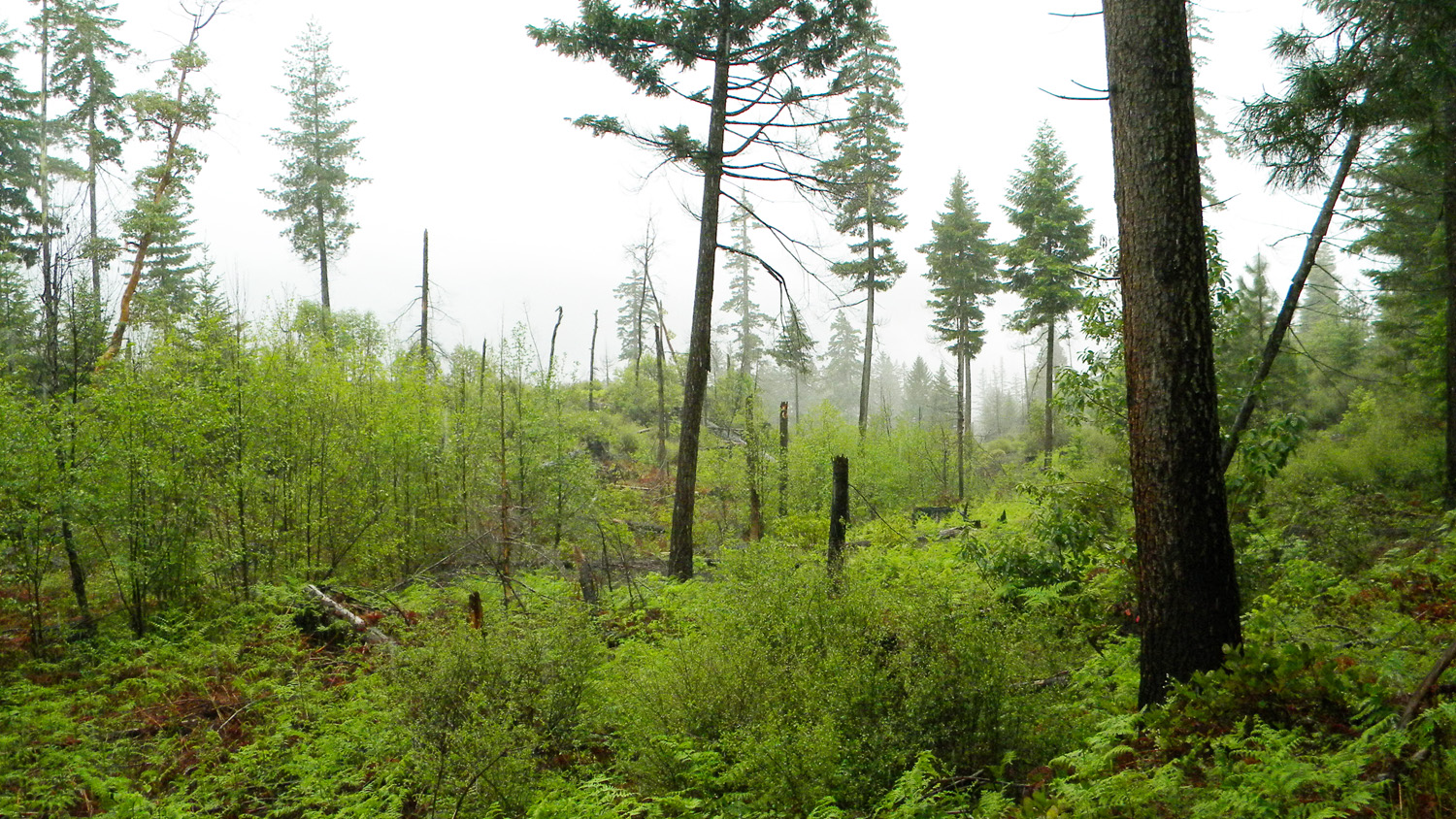
2464_Burn |
2465_2826_Road_View |
2466_2826_Road_View |
|
|
|
|
|
2467_2826_Road_View |
2570_2826_Road_Ridge |
2578_2826_Road_View |
2589_2826_Ridge_View |
2590_2826_Ridge_View |
|
|
|
|
|
2591_2826_Ridge_View |
2604_2826_Road_Ridge |
2608_Burn_Pattern |
2609_Burn_Pattern |
2610_Burn_Pattern |
|
|
|
|
|
2611_Burn_Pattern |
2612_Burn_Pattern |
2613_Burn_Pattern |
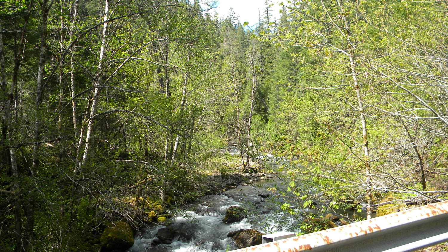
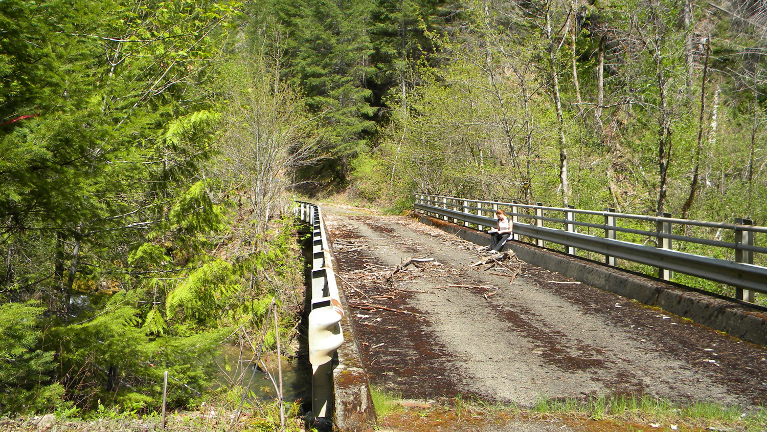
2615_Boulder_Creek Bridge |
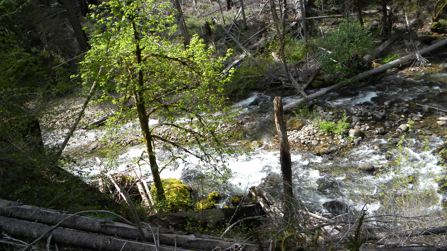
2616_Boulder_Creek |
|
|
|
|
|
2618_Boulder_Creek |
2618_Boulder_Creek_Bridge |
2619_Boulder_Creek_Bridge |
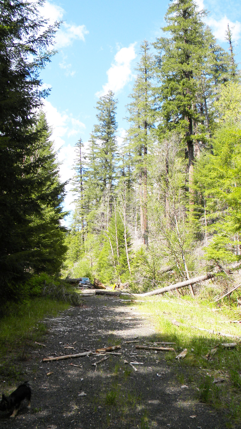
2621_Road_Blocked |
2622_Boulder_Creek |
|
|
|
|
|
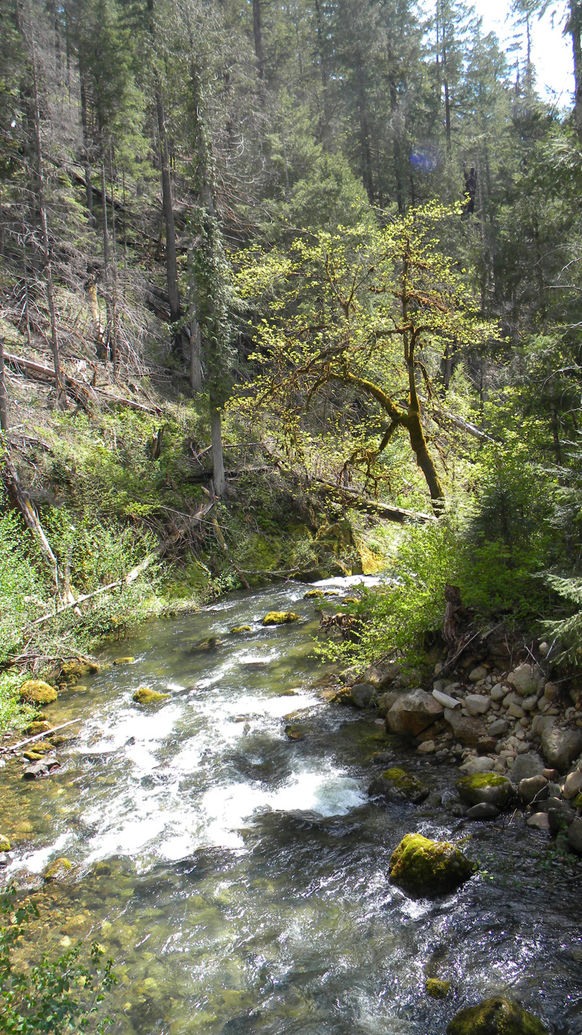
2623_Boulder_Creek |
2624_Boulder_Creek |
2625_Boulders |
2626_Boulder_Creek |
2627_Boulder_Creek |
|
|
|
|
|
2629_Burn |
2631_2741_Road |
2632_2741_Road |
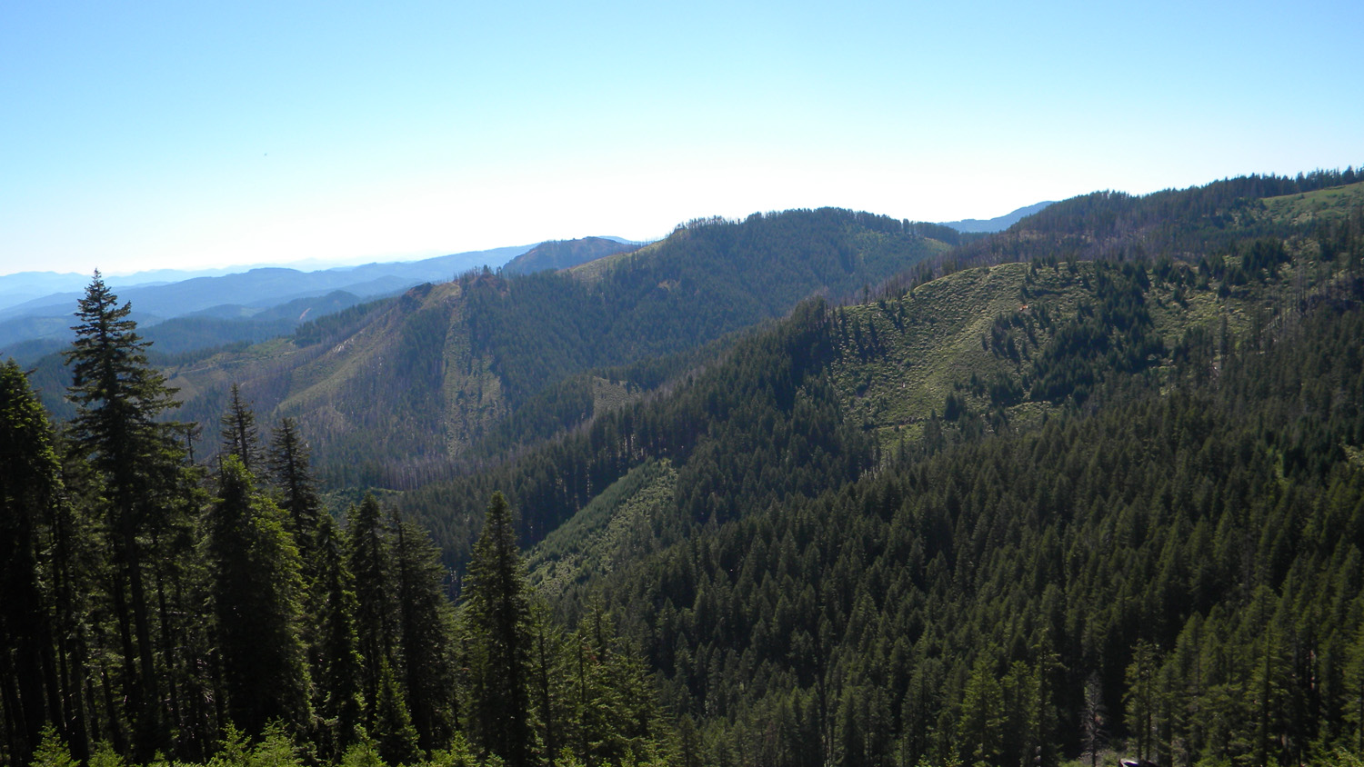
2633_2741_Road_View |
2634_2741_Road_View |
|
|
|
|
|
2635_2741_Road_View |
2636_2741_Road |
2637_2741_Road_View |
2638_Burn |
2640_2741_Road |
|
|
|
|
|
2641_2741_Road_View |
2642_2741_Road_View |
2643_2741_Road_View |
2646_2741_Road_View |
2647_Burn |
|
|
|
|
|
2648_2741_Road_View |
2649_2741_Road_View |
2652_2741_Road_Burn |
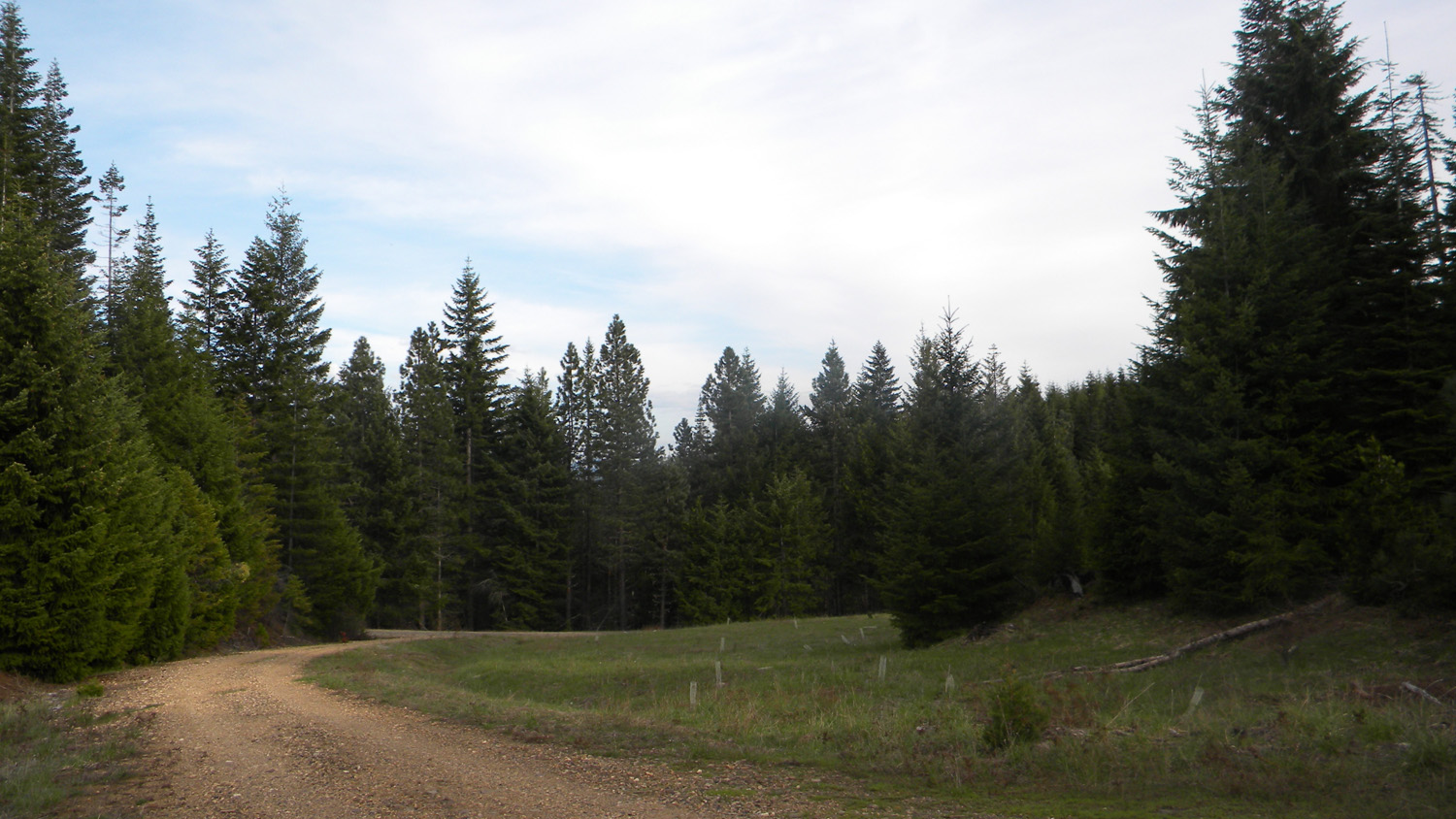
2659_2741_Road_Meadow |
2660_2741_Meadow |
|
|
|
|
|
2661_2741_Road_Meadow |
2662_2741_Road_Meadow |
2663_2741_Meadow |
2664_2741_Road_Meadow |
2671_27_Road_View |
|
|
|
|
 |
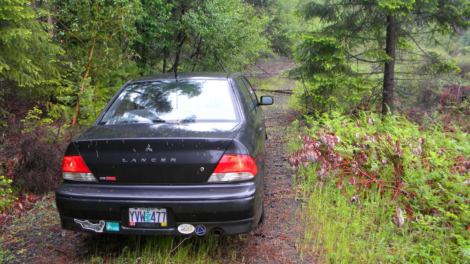
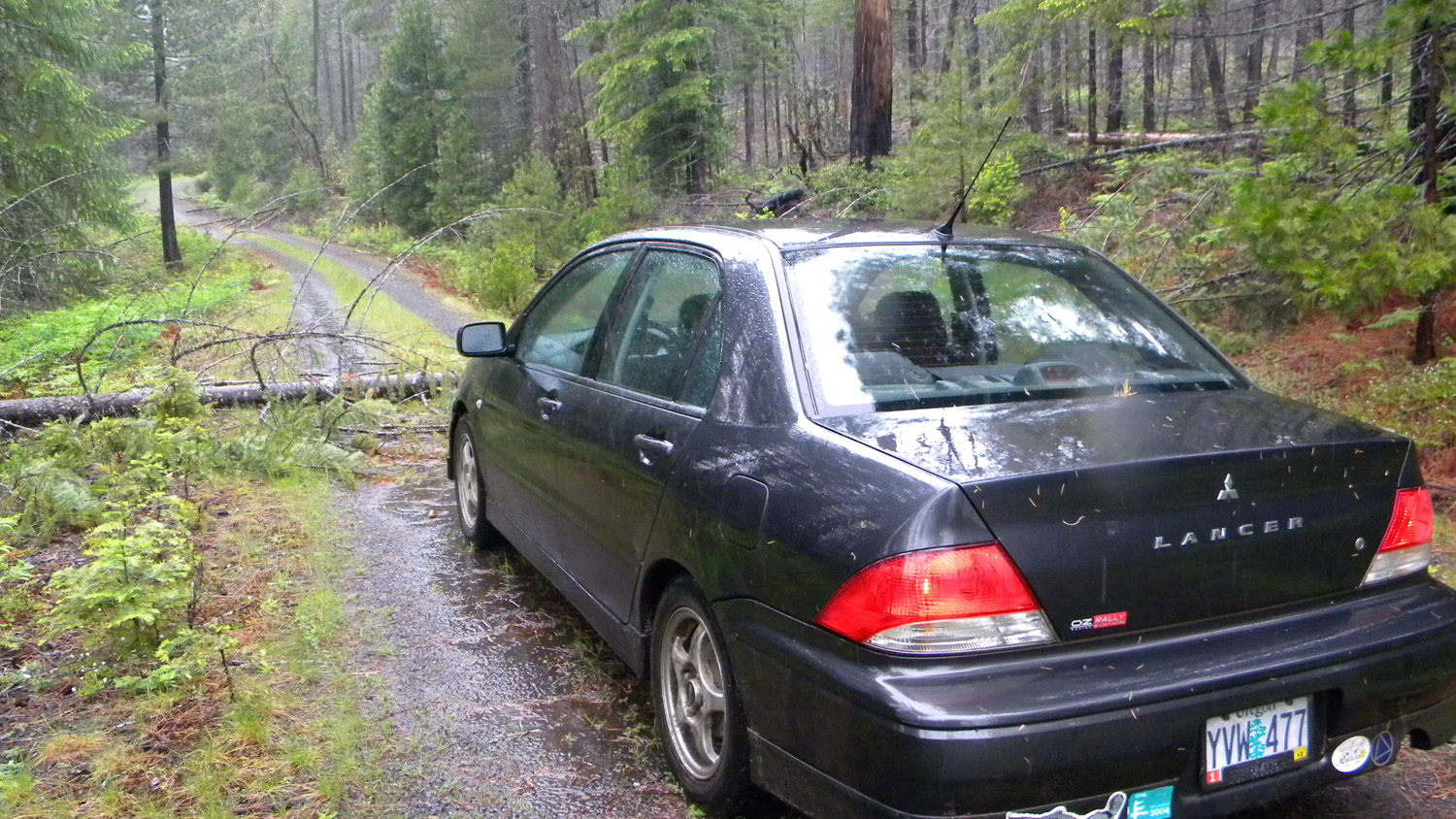
2671_27_Road_Blocked |
2673_27_Road_Blocked |
2678_27_Road_View |
2678_27_Road_View |
2680_27_Road_Burn |
|
|
|
|
|
2681_27_Road_Burn |
2682_27_Road_Burn |
2683_27_Road_View |
2684_27_Road_View |
2685_27_Road_View |
|
|
|
|
|
2686_27_Road_View |
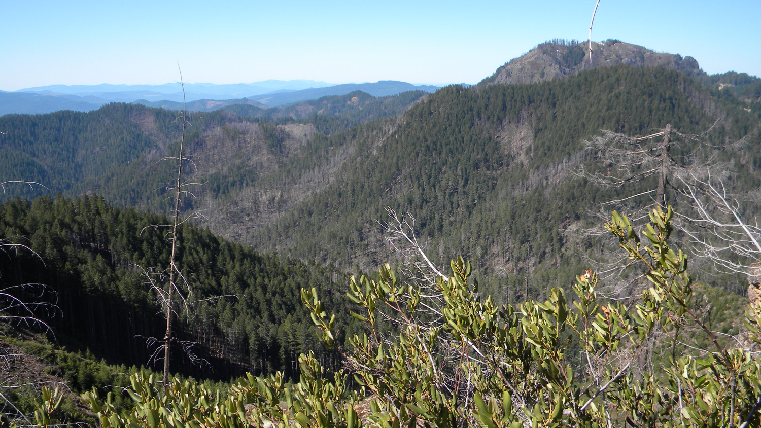
2687_Quartz_Mountain |
2688_Quartz_Mountain |
2689_27_Road_View |
2696_27_Road_View |
|
|
|
|
|
| 2697_27_Road_Clouds |
2698_700_Road |
2699_700_Road |
2700_700_Road_View |
2701_700_Road |
|
|
|
|
|
2702_700_Road |
2703_717_Road |
2704_717_Road_View |
2705_717_Road_View |
2706_717_Road_View |
|
|
|
|
|
2707_717_Road_View |
2708_717_Road_View |
2709_717_Road_View |
2710_717_Road_View |
2711_717_Road_View |
|
|
|
|
|
2711_717_Road_View |
2718_27_Road_View |
|
|
2721_27_Road_View |
|
|
|
|
|
2722_27_Road_View |
2723_27_Road_Rock |
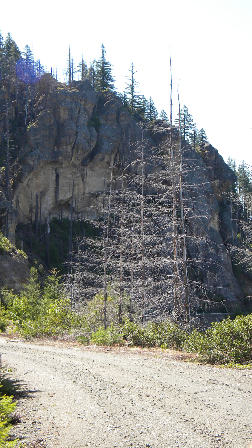
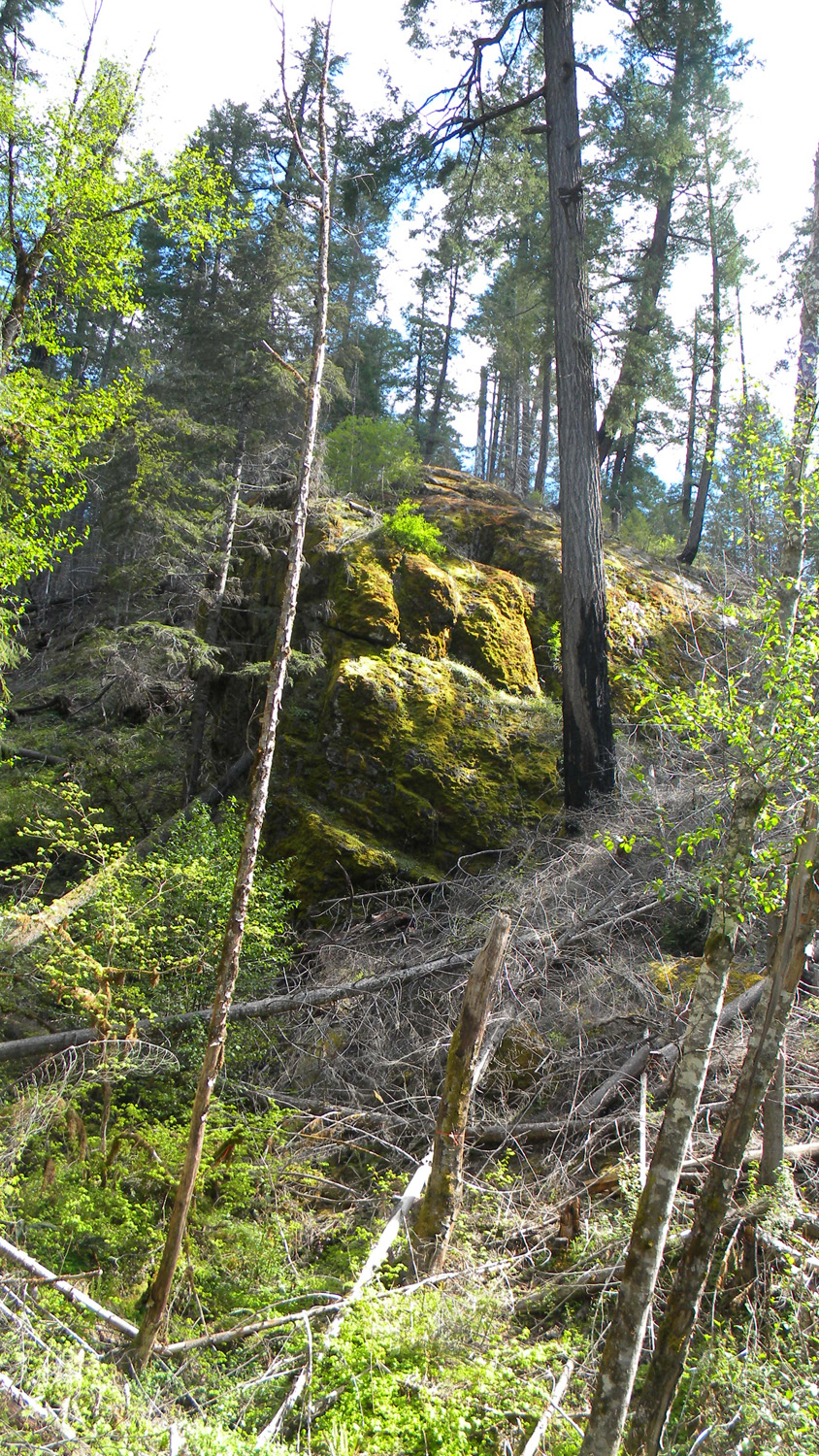
2724_Landmark |
2725_Tree_Stands |
2726_740_Road |
|
|
|
|
|
2733_740_Road |
2734_740_Road_View |
2737_800_Road_View |
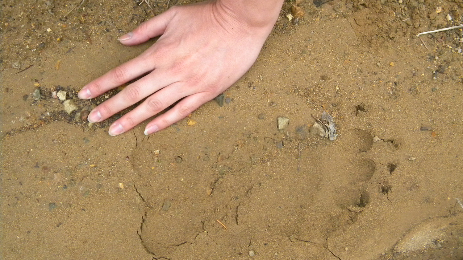
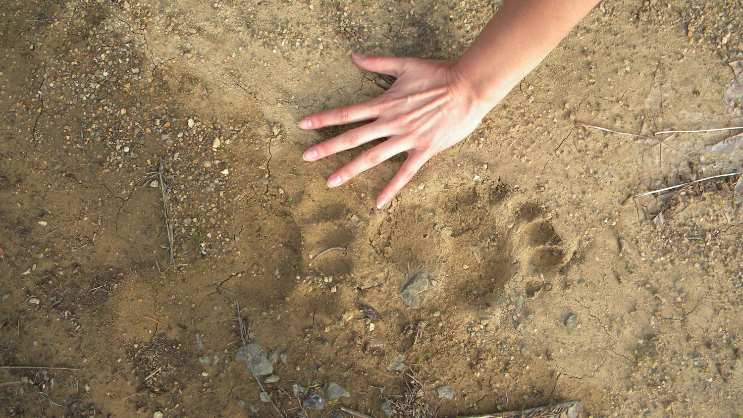
2742_Bear_Print |
2743_800_Road |
|
|
|
|
|
2744_800_Road_Ridge |
2745_800_Road_View |
2747_800_Road_Rock |
2748_Bear_Print |
2749_800_Road_Rock |
|
|
|
|
|
2750_800_Road_Meadow |
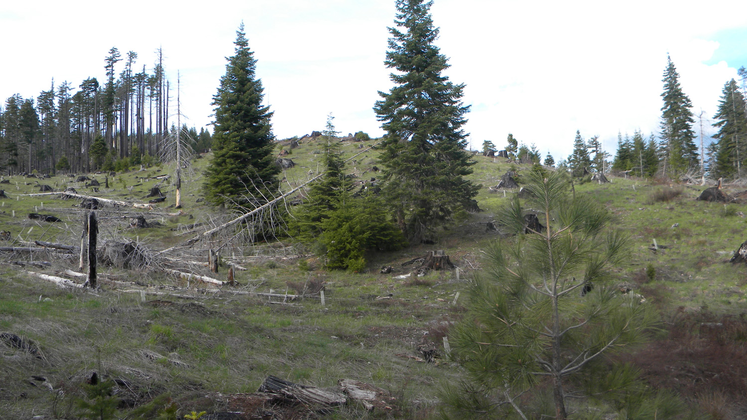
2751_Old_Logged_Meadow |
2752_Old_Logged_Meadow |
2753_800_Road |
2754_27_Road_Meadow |
|
|
|
|
|
2755_27_Road_Meadow |
2756_27_Road_Meadow |
2757_27_Road_Pond |
2758_27_Road_Meadow |
2759_27_Road_Meadow |
|
|
|
|
|
2660_Flagstone_Peak |
2661_820_Road_View |
2662_820_Road |
2665_824_Road_View |
2669_Young_Trees |
|
|
|
|
|
2771_Bobs_Rock |
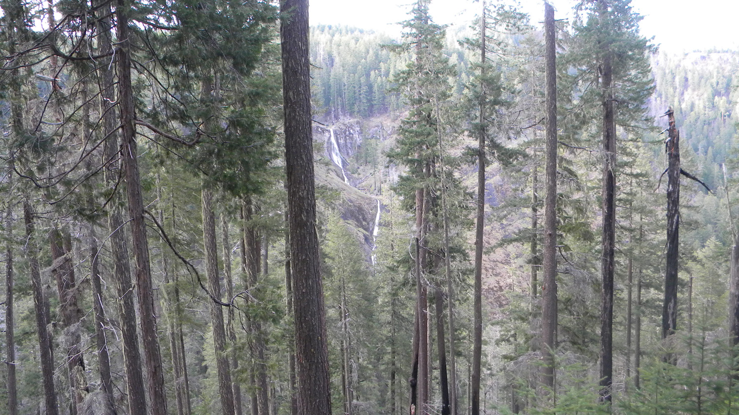
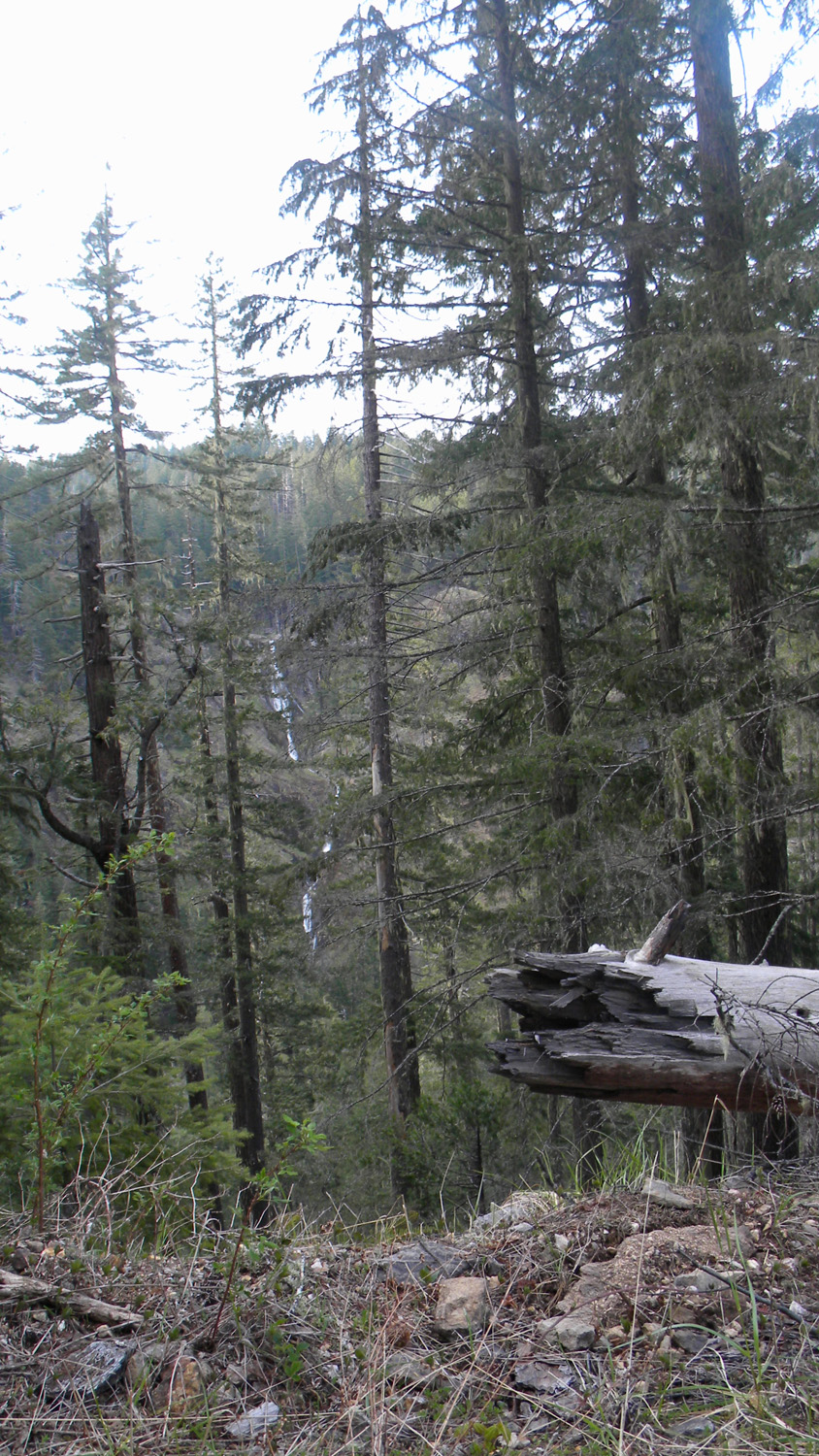
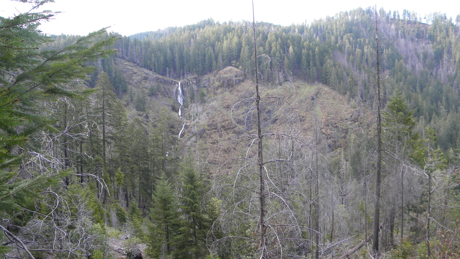
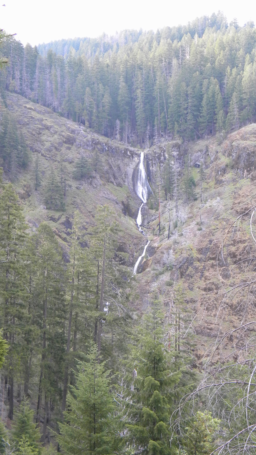
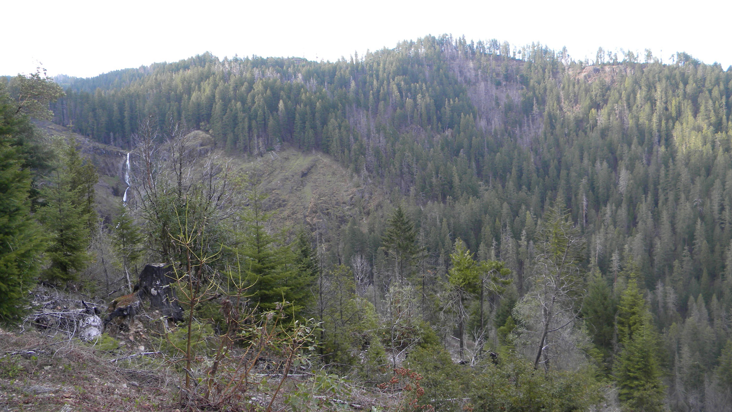
2773_Waterfall |
2774_Waterfall |
2776_Waterfall |
2774_Waterfall_and_Pine |
|
|
|
|
|
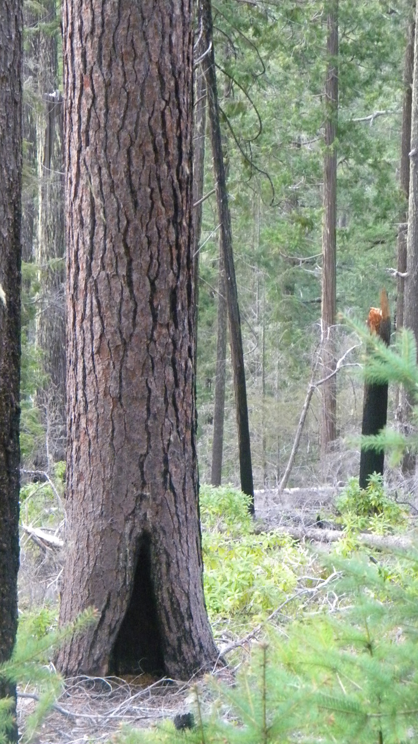
2778_Pine_Tree |
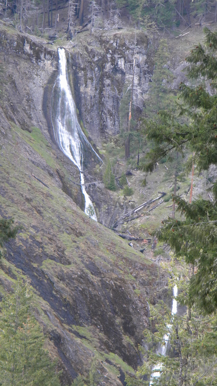
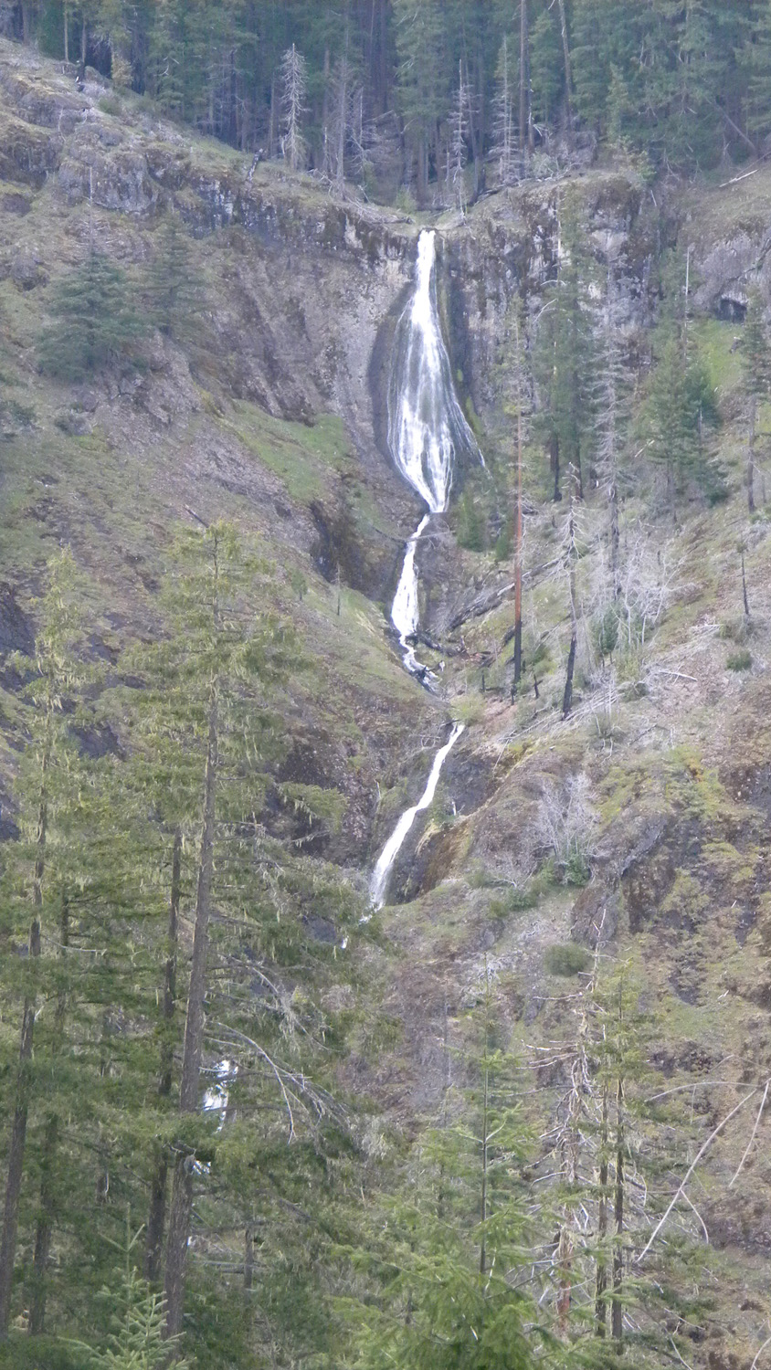
2779_Waterfall_Closeup |
2780_Waterfall |
2781_Bobs_Rock |
2782_Waterfall |
|
|
|
|
|
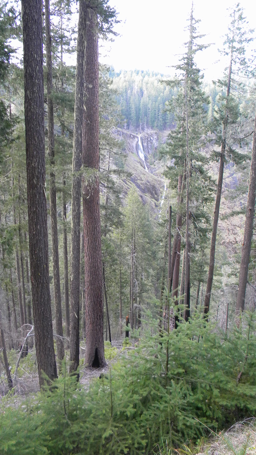
2783_Waterfall |
2784_Waterfall |
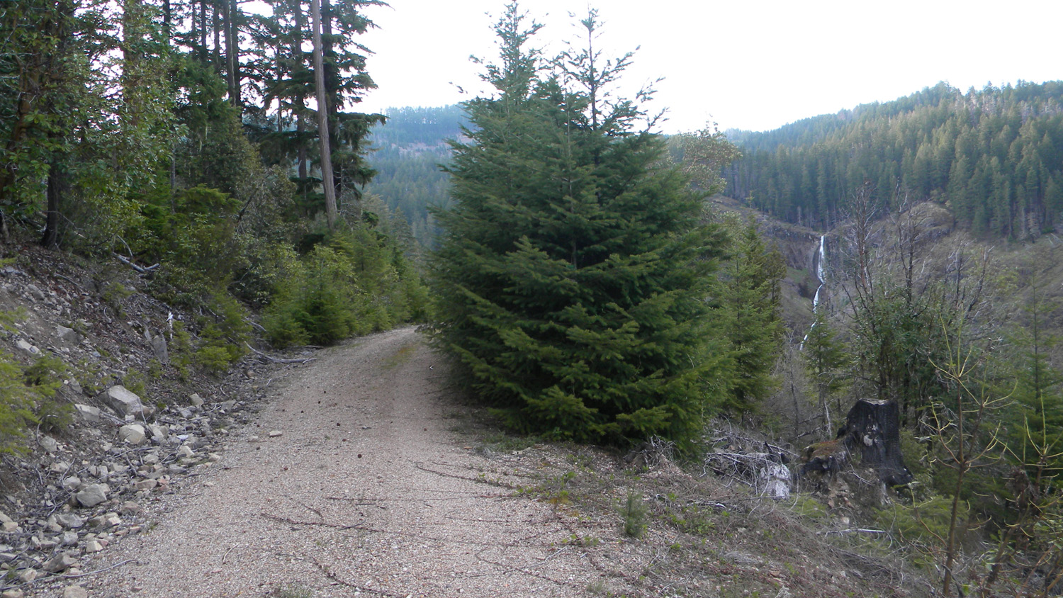
2785_Road_Waterfall |
2786_Tree_Pattern |
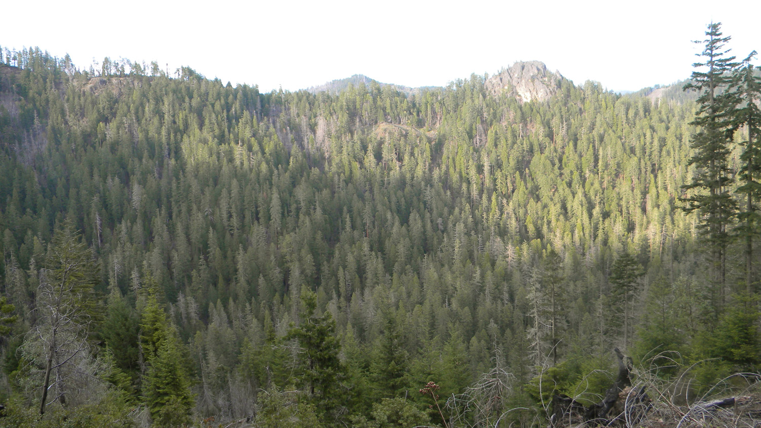
2787_824_Road_View |
|
|
|
|
|
2788_Tree_Growth |
2798_824_Road_View |
2700_Acker_Rock |
2802_Grouse |
2804_Grouse |
|
|
|
|
|
4142_890_Road_View |
4143_27_Road |
4150_890_Ridge |
4152_890_Ridge_View |
|
|
|
|
|
|
4155_851_Road_View |
4156_851_Road_View |
4157_851_Road |
4158_850_Road_View |
4159_850_Road_Blocked |
|
|
|
|
|
4160_850_Road |
4172_100_Road_Blocked |
4173_100_Road |
4174_100_Road_Blocked |
4175_100_Road |
|
|
|
|
|
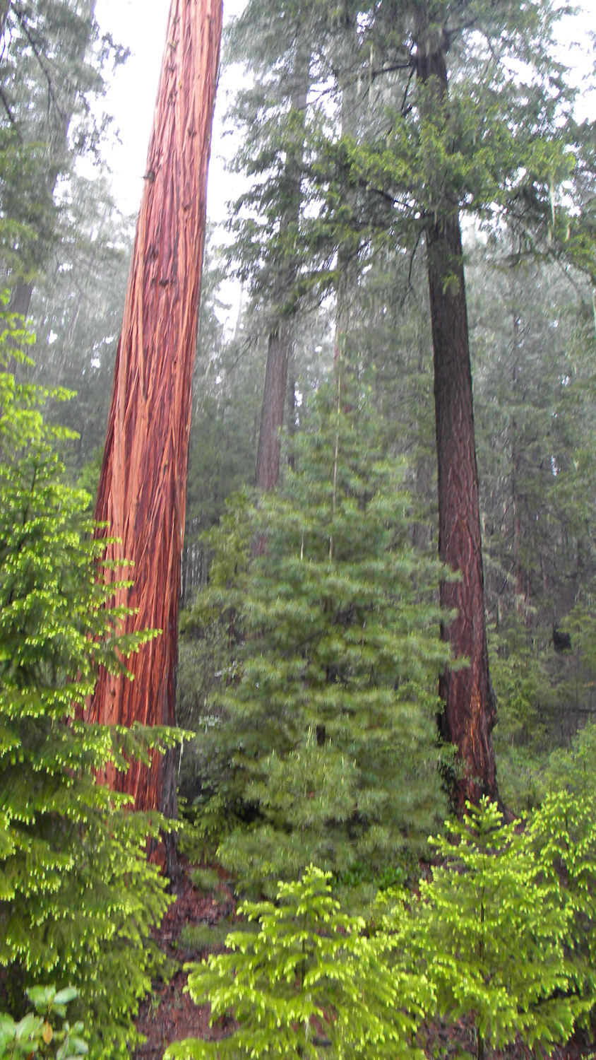
4176_Cedar_Trees |
4177_200_Road_Blocked |
4178_200_Road_Trees |
4179_200_Road_Blocked |
4180_200_Road_Trees |
|
|
|
|
|
4185_Wetland |
4435_2781_Road_View |
4436_2781_Road |
4454_2781_Road_View |
4455_2781_Road |
|
|
|
|
|
4484_635_Road_End |
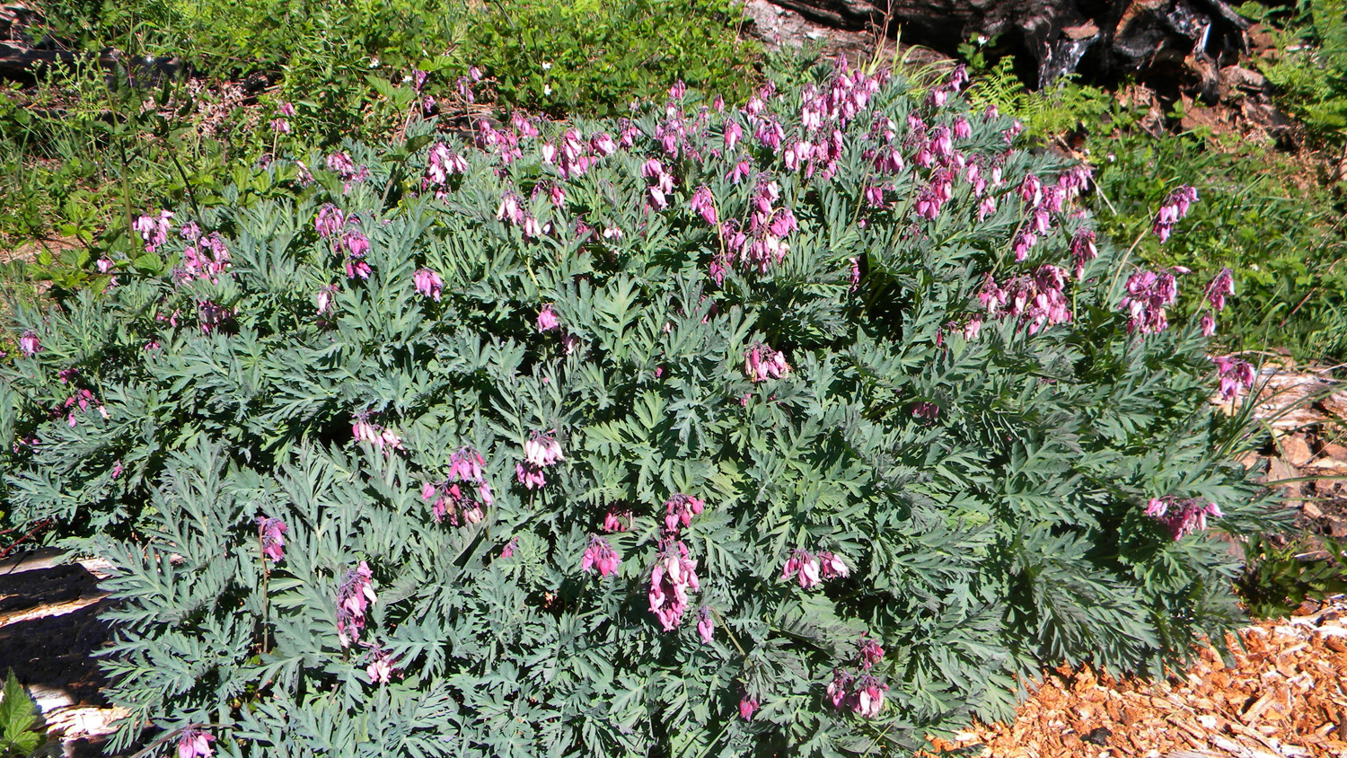
4493_Bleeding_Hearts |
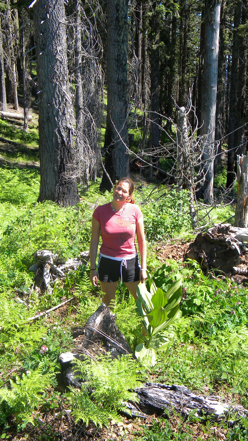
4494_False_Hellebore |
|
|


