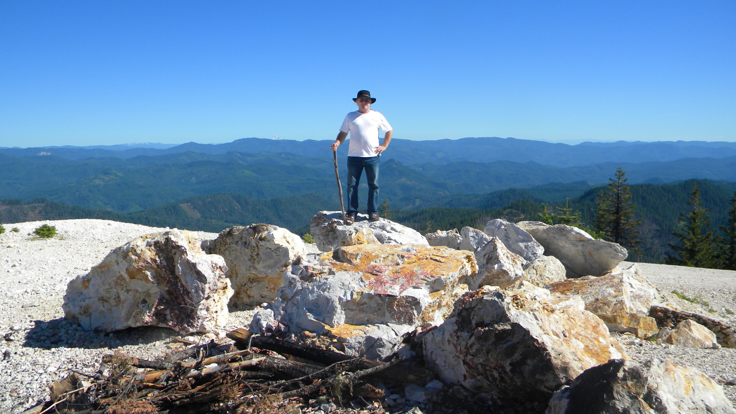
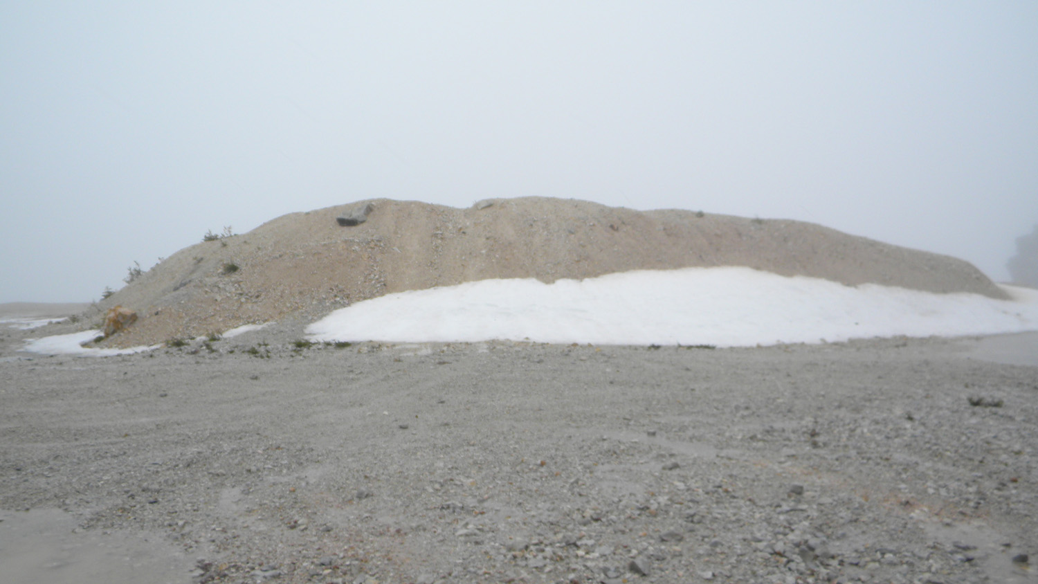
Quartz Mountain
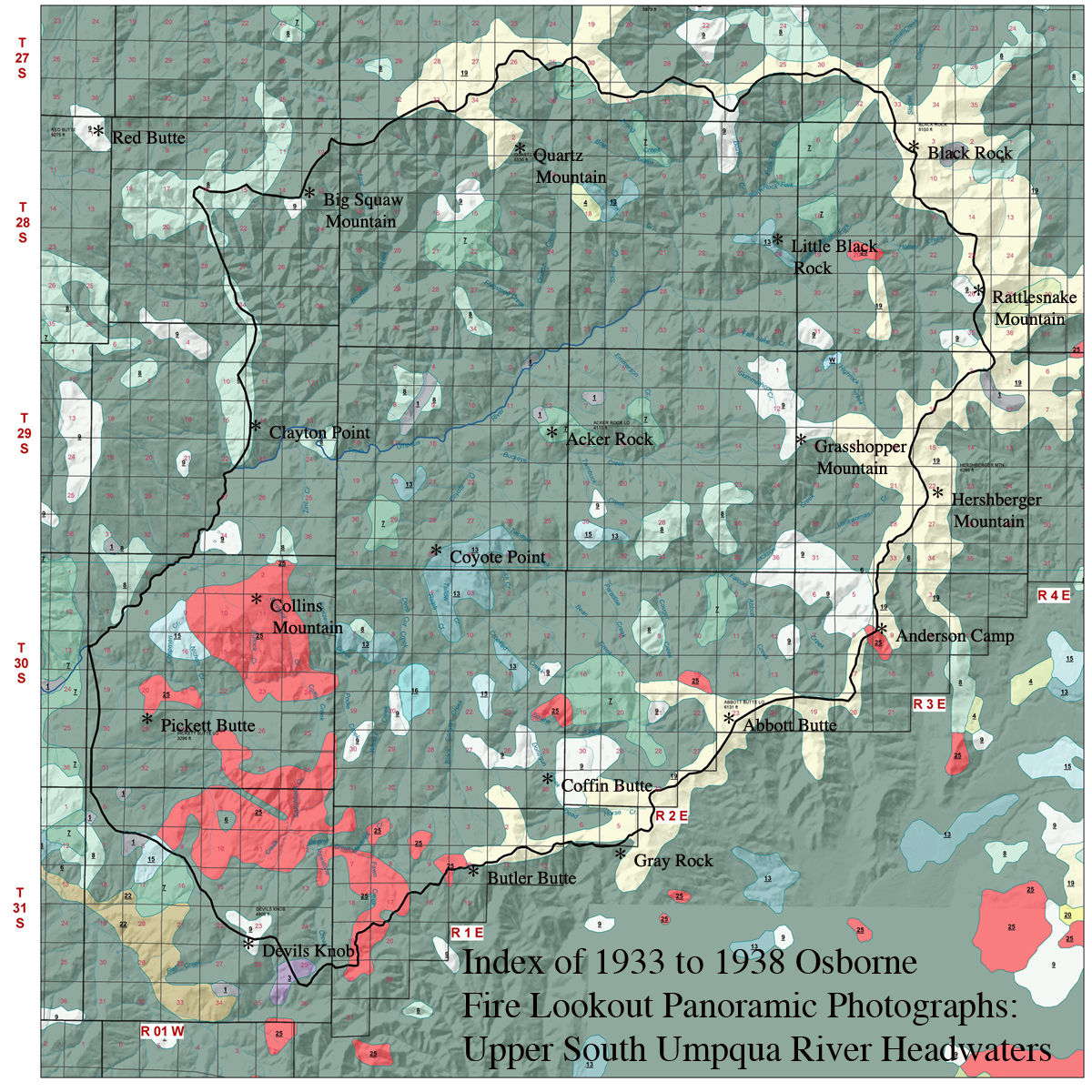
Quartz Mountain is located in Section 2, Tsp._28 S., Rng. 1 E., elevation 5,530 feet. It is the highest headwater point in the Quartz Creek subbasin and Boulder Creek subbasin the Upper South Umpqua Headwaters Precontact Reference Conditions Study. The peak is also designated as the principal feature in the study's Quartz Mountain "Area of Special Interest." Kemnow Online History.
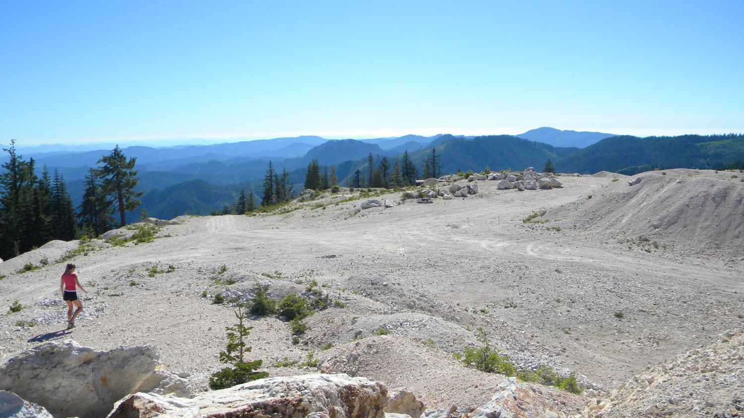
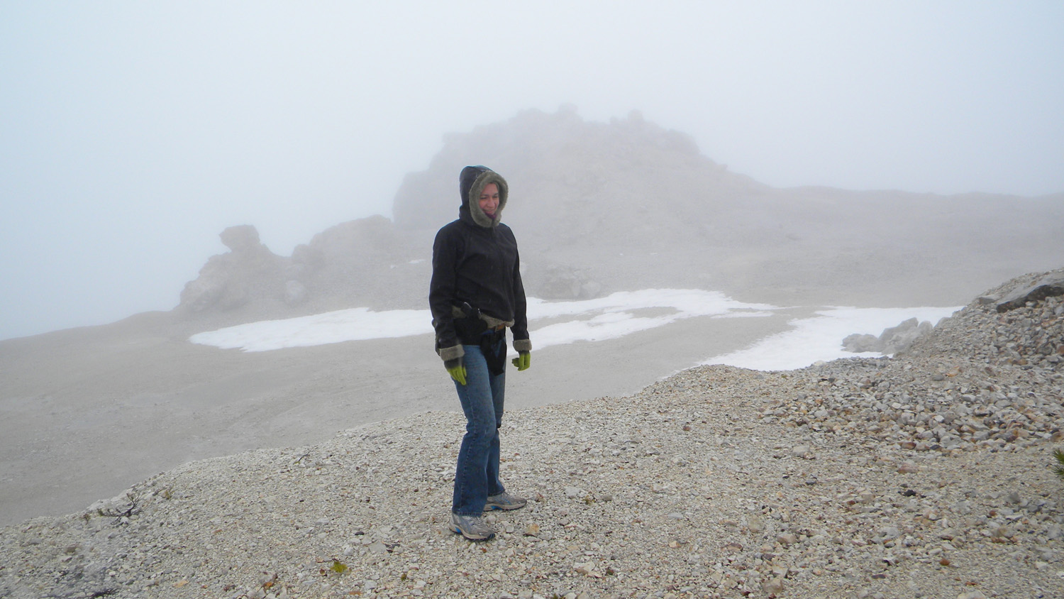
This page includes specific maps and aerial photographs of Quartz Mountain, panoramas and QTVR video files constructed from the 2010 field research studies, and individual historical and 2010 documentary photographs showing current condtions, native plants and animals, and other points of interest related to this study area.
 |
 |
|
20-98_Quartz_Mountain |
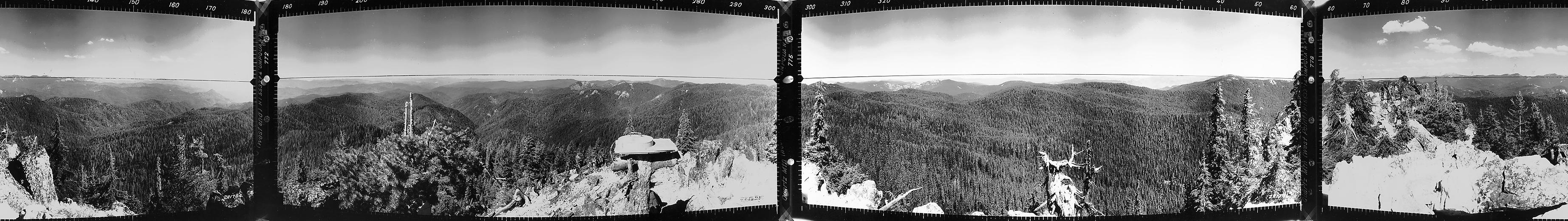
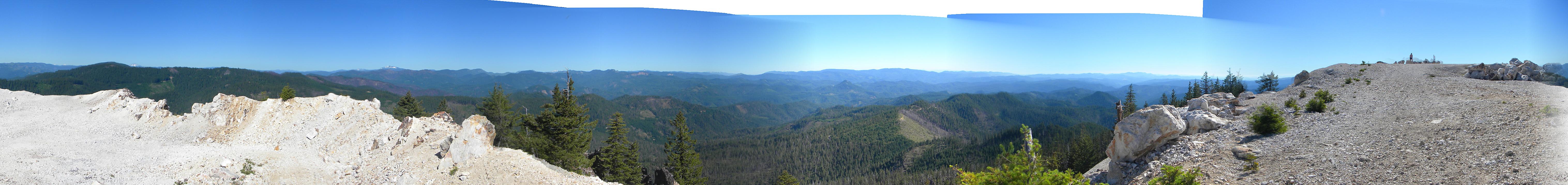
Panoramas and QTVRs
Quartz Mountain |
|||
|
|||
|
|||
|
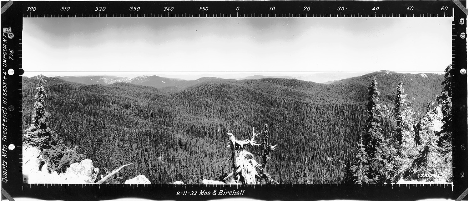
Quartz Mountain Unknown Photographer(s) August 7, 1936 |
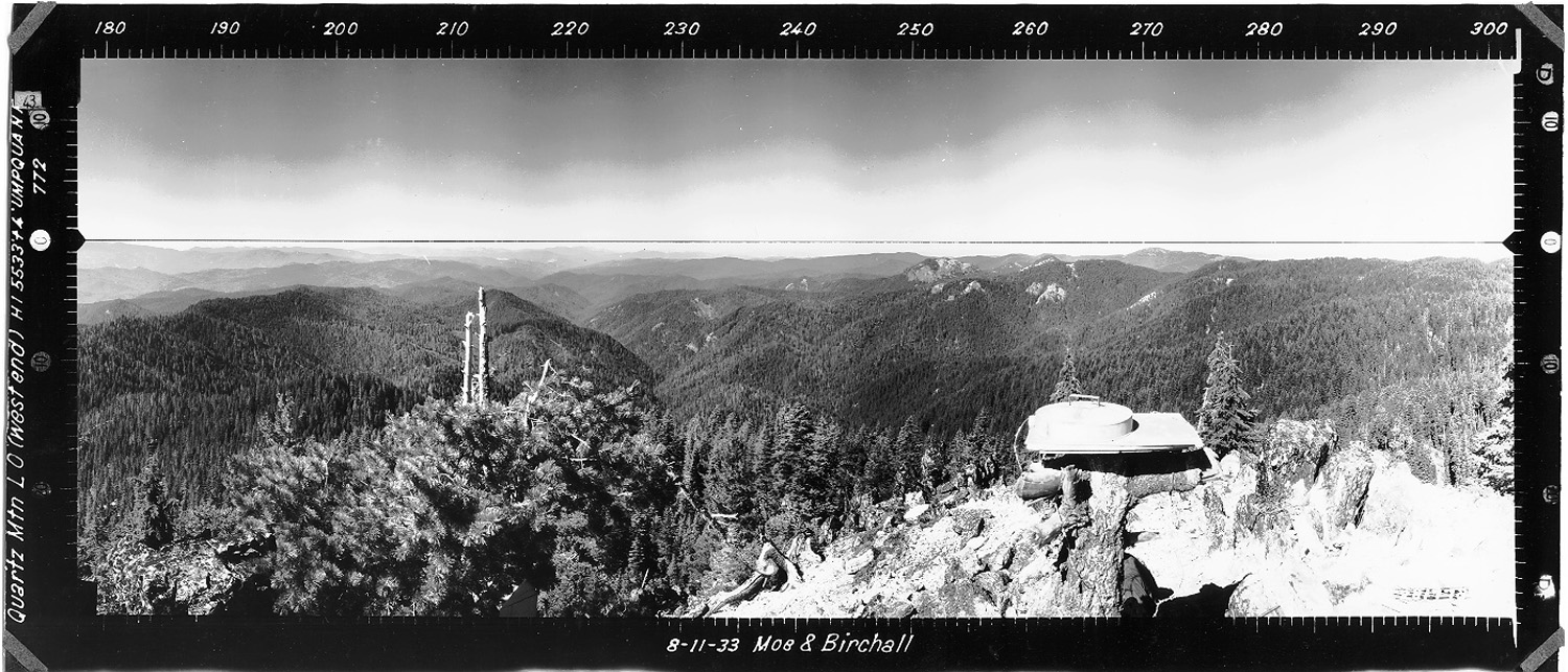
West 180° - 300°
|
|
|
North 300° - 60°
|
|
|
East 60° - 180°
|
 |
 |
 |
|
 |
|
|||
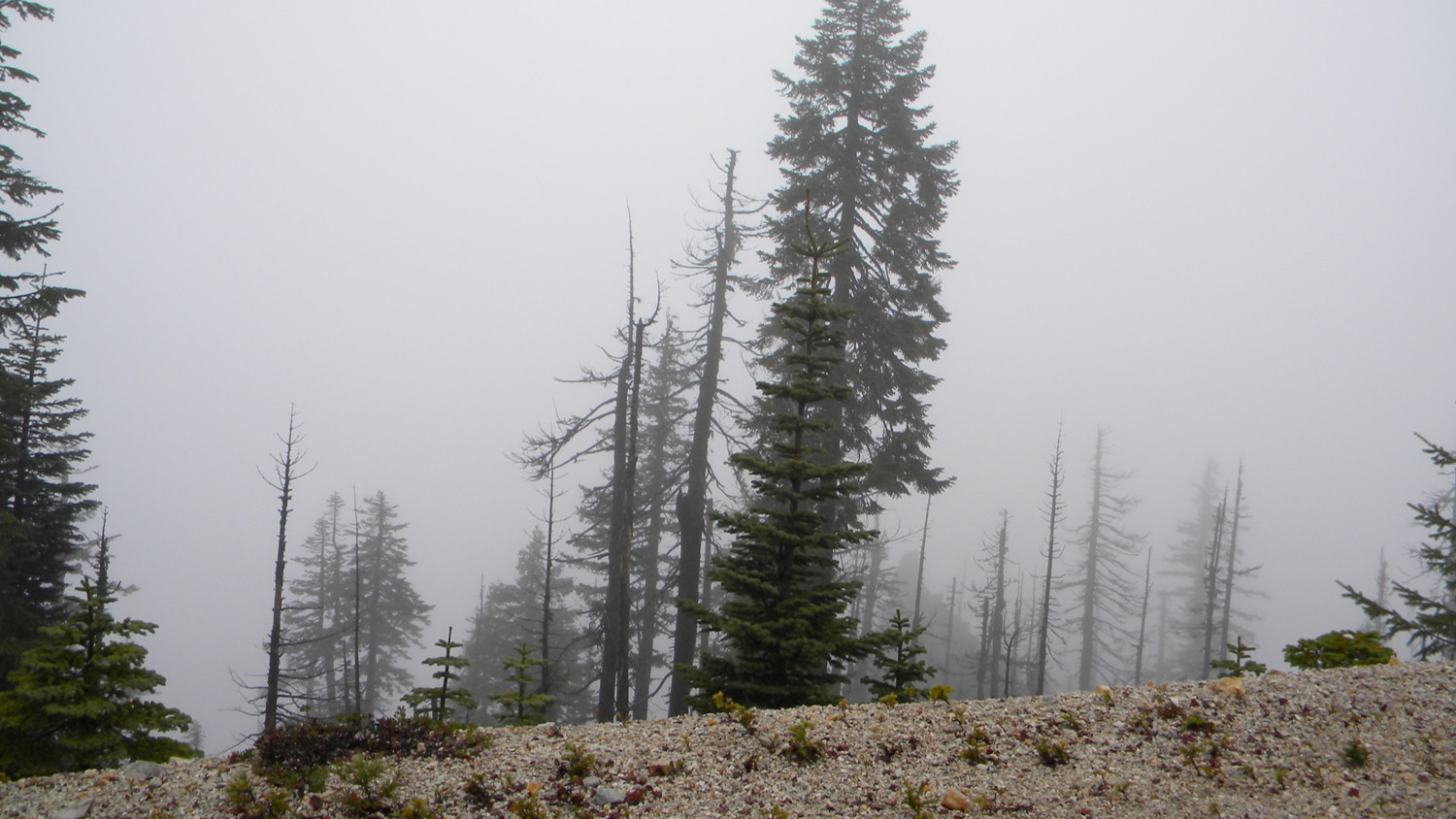
4161_Quartz_Mountain_Trees |
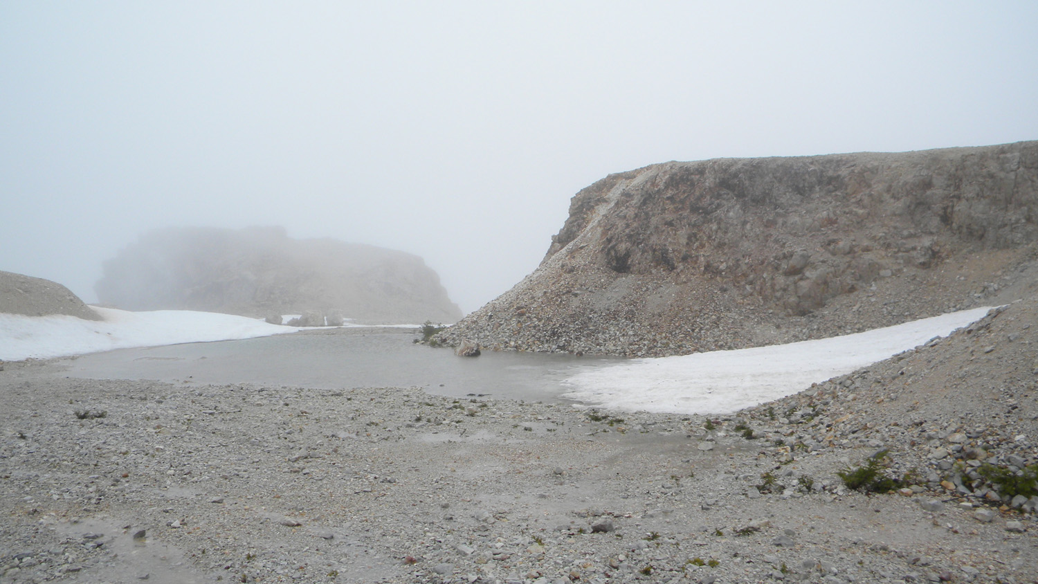
4163_Quartz_Mountain |
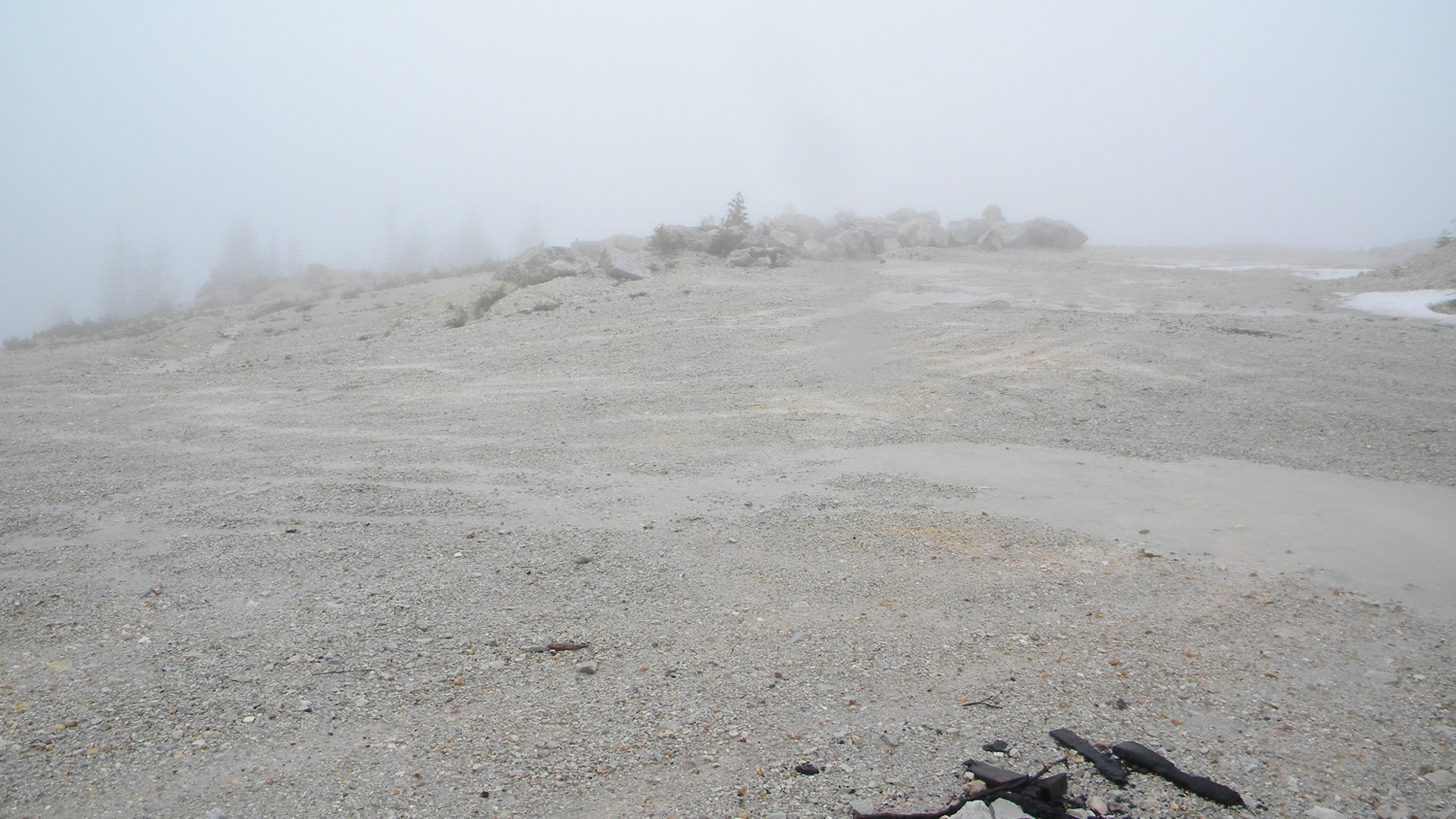
4164_Quartz_Mountain |
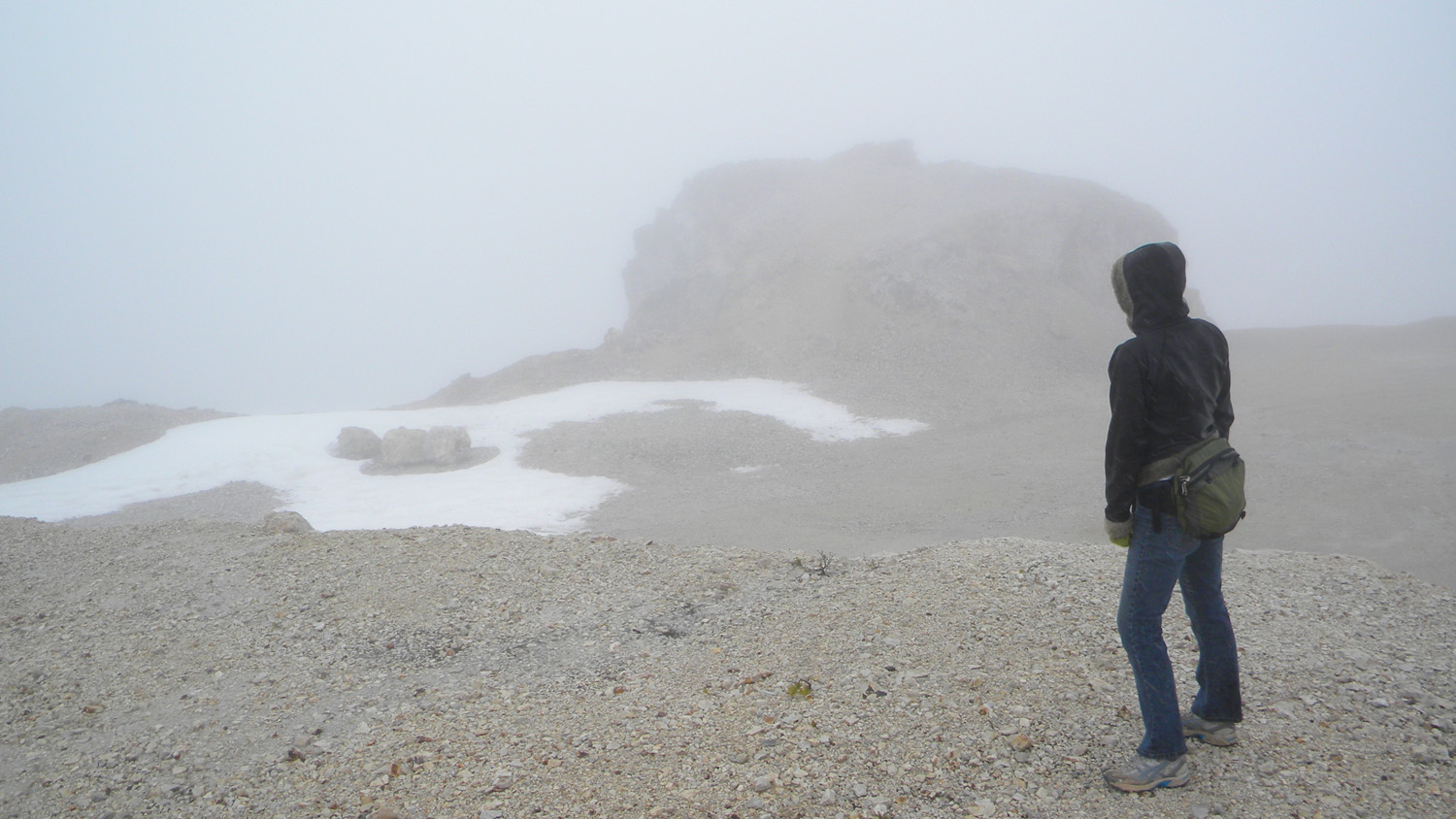
4165_Quartz_Mountain |
4166_Quartz_Mountain |
|||
 |
 |
 |
 |
 |
|||
4167_Quartz_Mountain |
4168_Quartz_Mountain |
|
|
|
![]()
© 2006-2011, 2020 Oregon Websites and Watershed, Inc. & NW Maps Co.