Upper South Umpqua Headwaters Precontact Reference Study
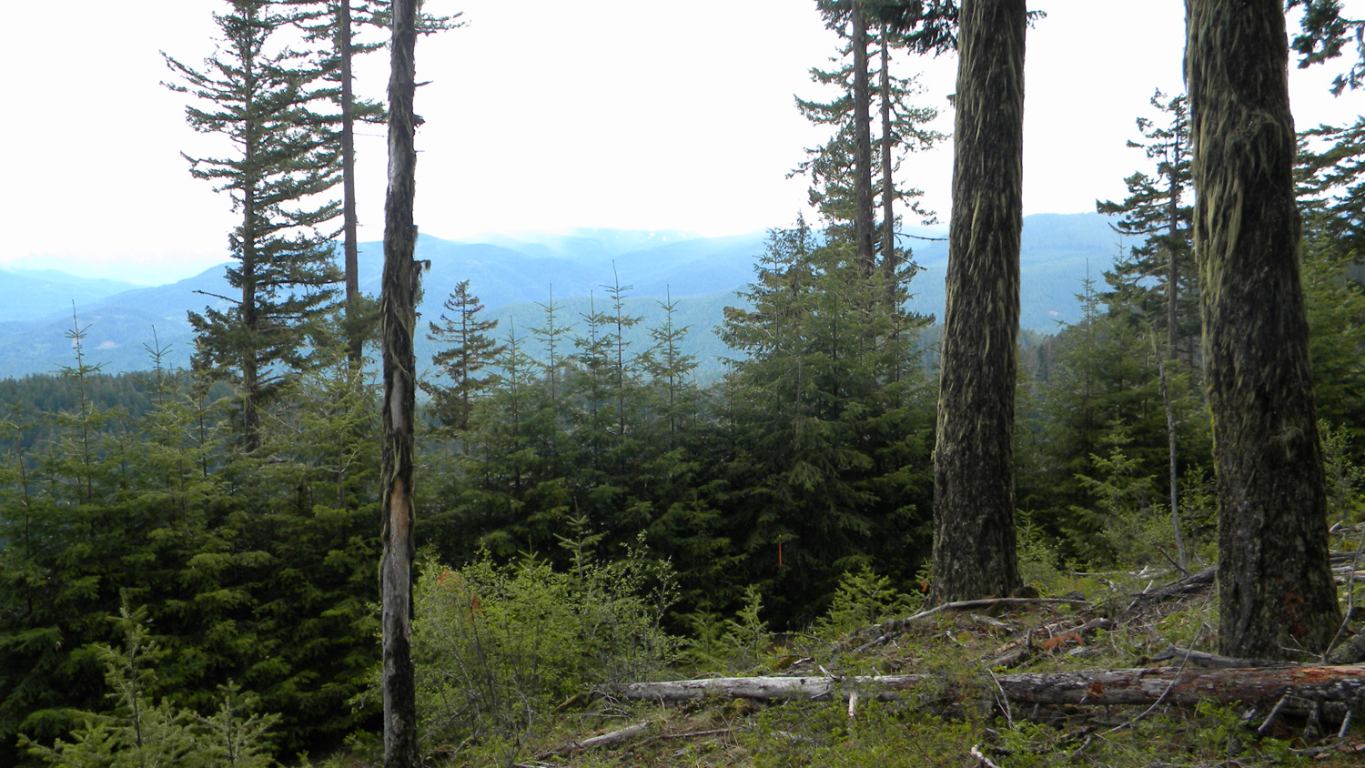
Whiskey Camp
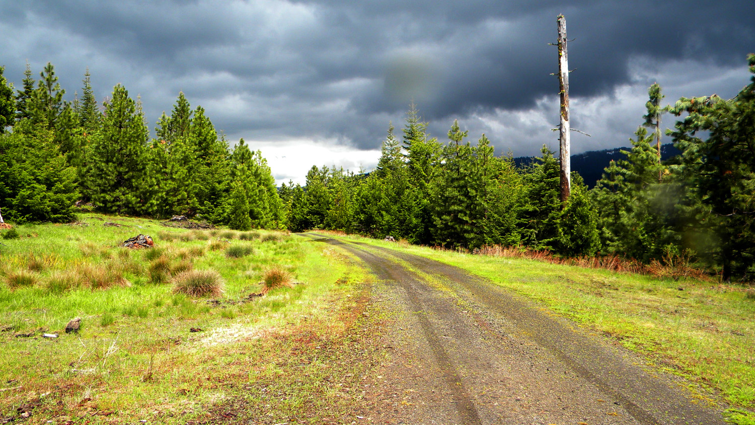
Whiskey Camp, South Umpqua River, Douglas County, Oregon, May 31, 2010 (B. Zybach).
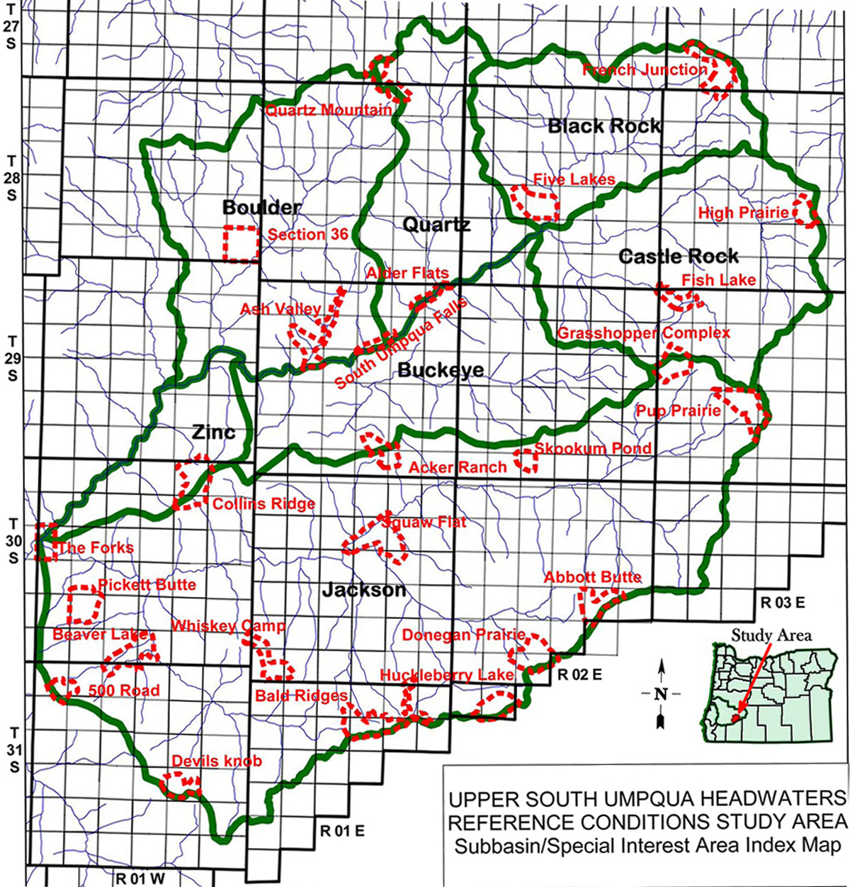
Whiskey Camp Area of Special Interest is located within the Jackson Creek subbasin and includes Green Prairie and Coffin Butte. It is in the South Umpqua River drainage in Tsp. 30 S., Rng. 1 E. It contains the old Coffin Butte fire lookout tower in Tsp. 30 S., Rng. 1 W.,which is included in the ORWW Osbornes Project, although there are no avaialble records indicating that such photos were taken from there.
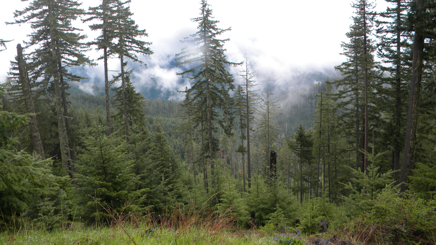
This page includes specific maps and aerial photographs of Whiskey Camp, and individual historical and 2010 documentary photographs showing current condtions, native plants and animals, and other points of interest related to this study area.
 |
 |
|
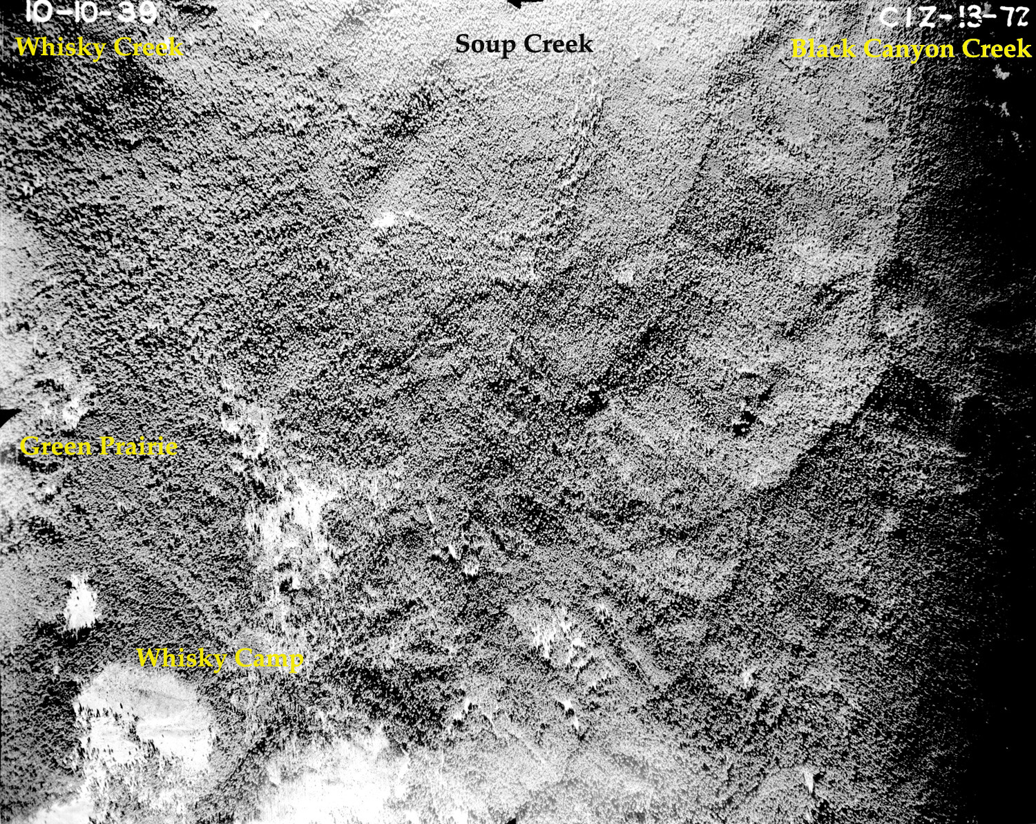
| Subbasin Index Map | Tsp. 30 S., Rng. 1 E. | October 10, 1939 |
 |
 |
 |
 |
 |
3546_Young_Trees |
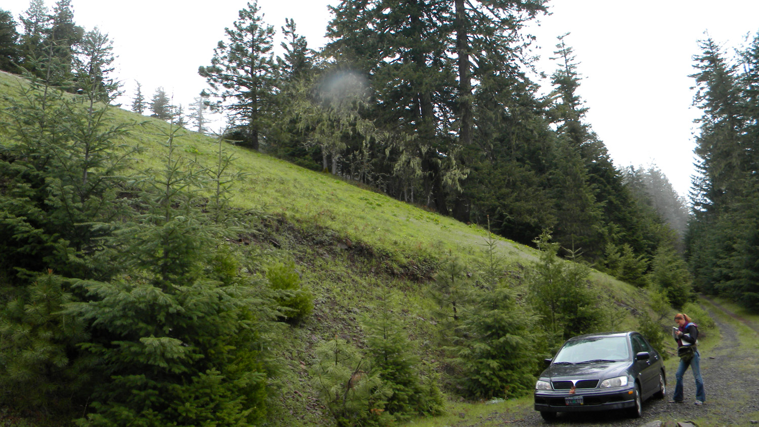
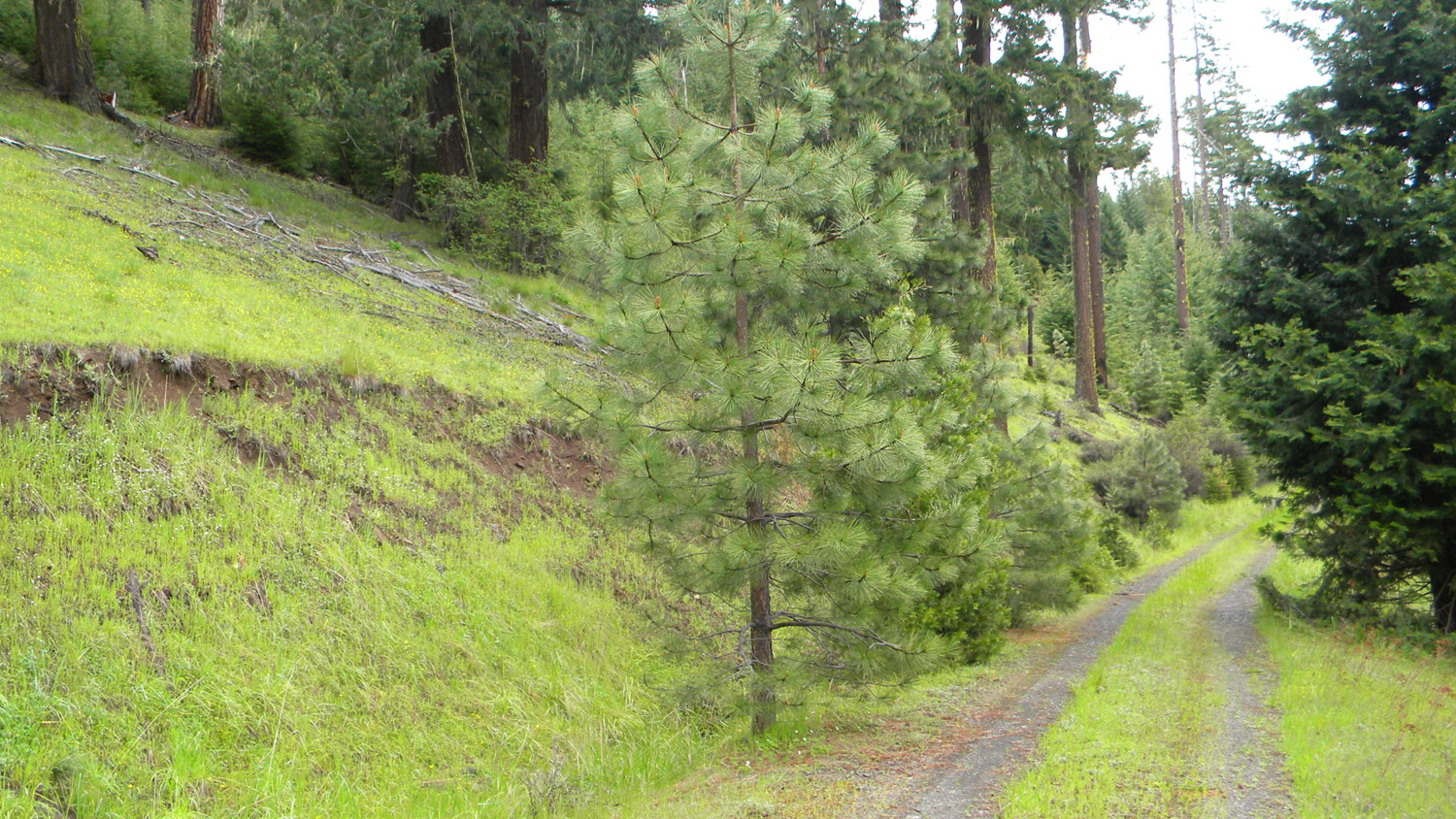
3547_431_Road |
3548_431_Road_End |
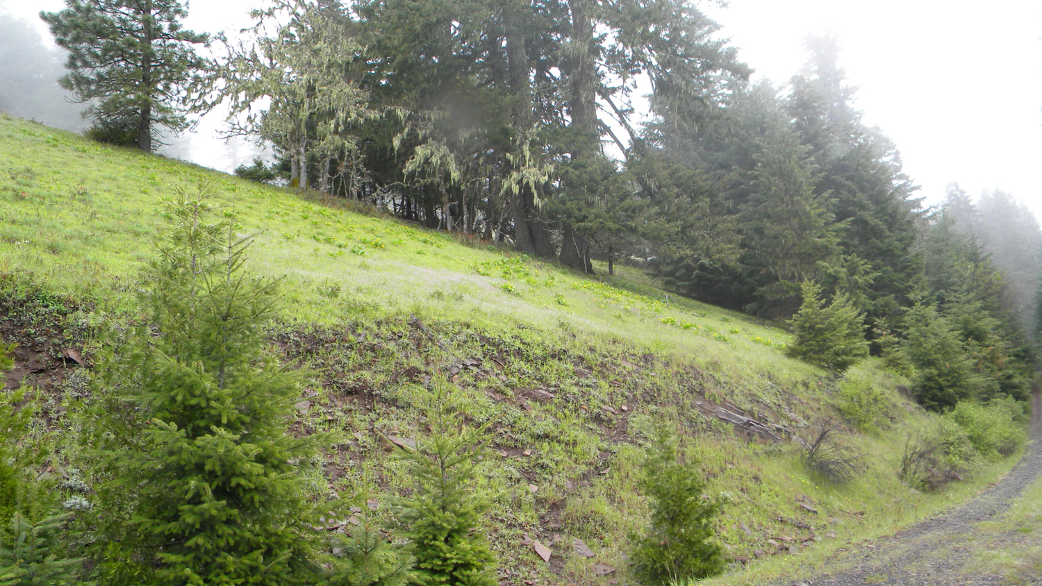
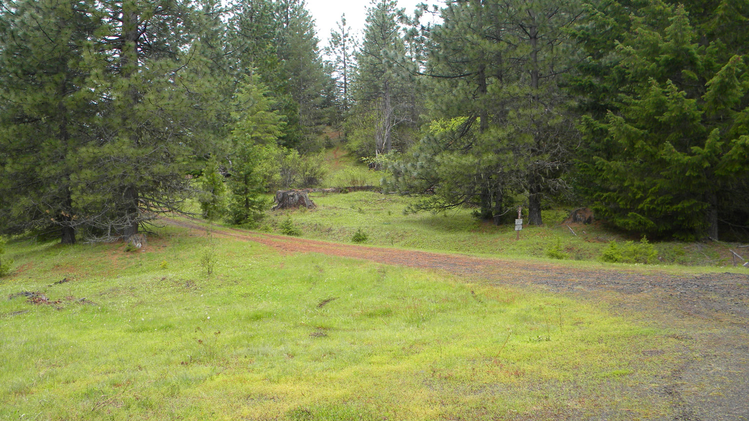
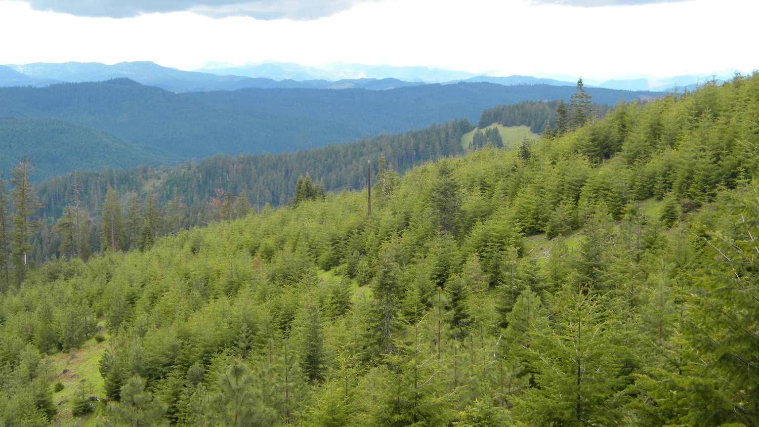
3549_431_Road_Meadow |
3550_431_Road |
 |
 |
 |
 |
 |
3555_Crossroads |
3568_450_Road_View |
3569_450_Road_View |
3570_450_Road |
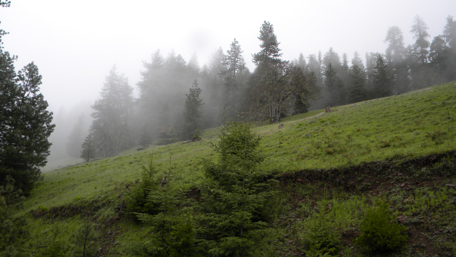
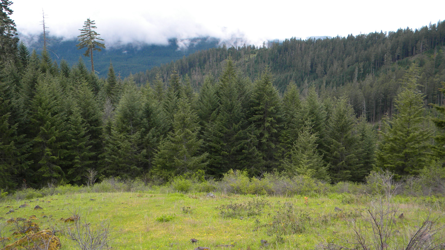
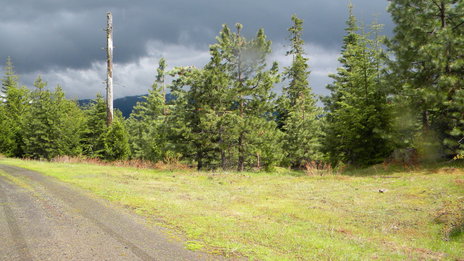
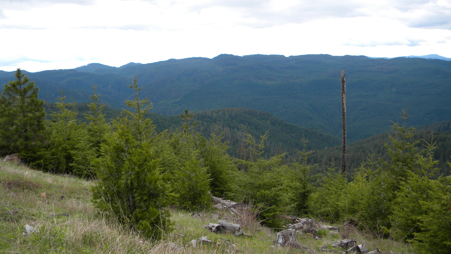
3571_450_Road_Meadow |
 |
 |
 |
 |
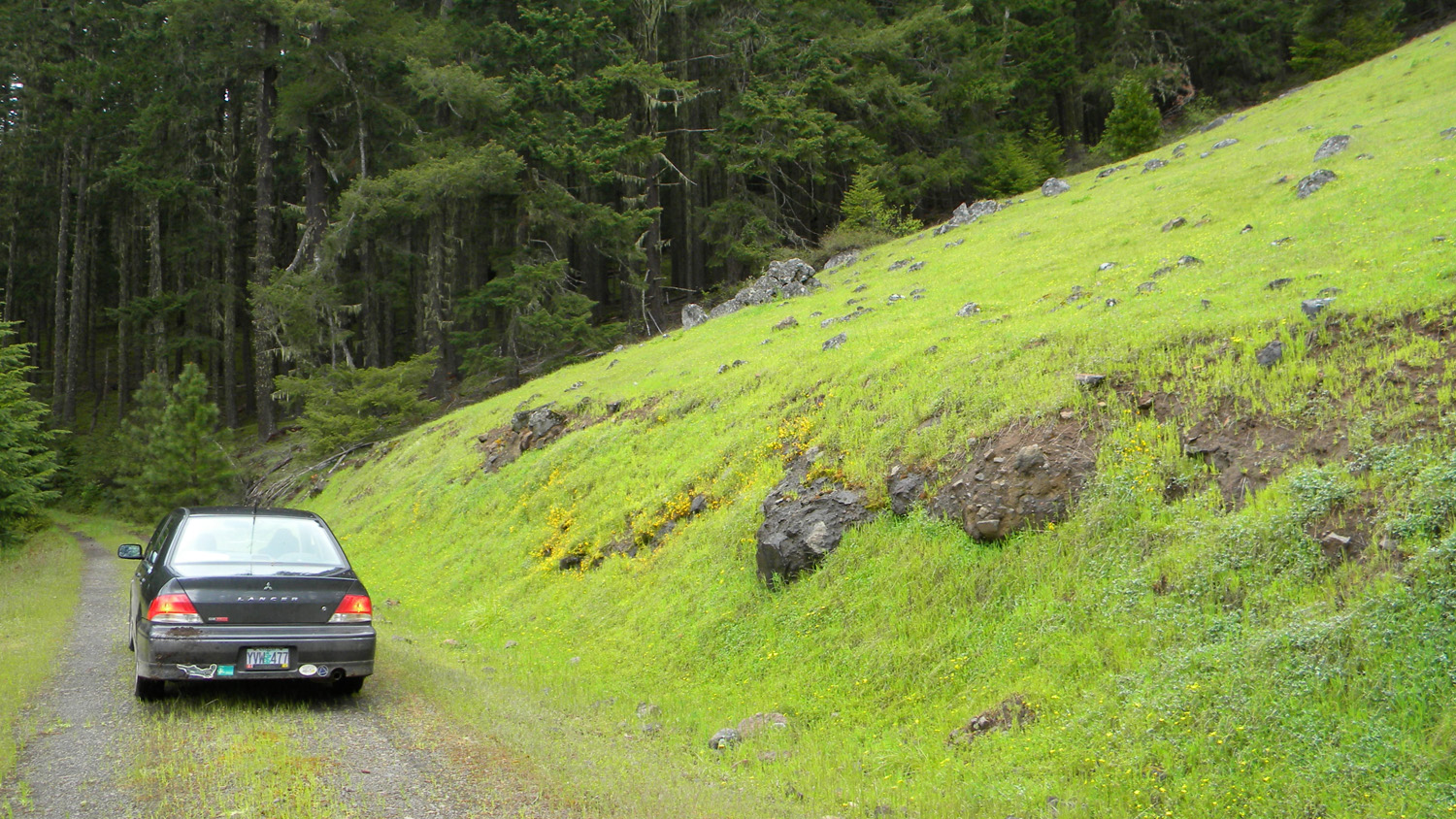 |
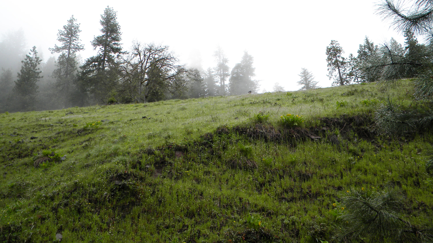
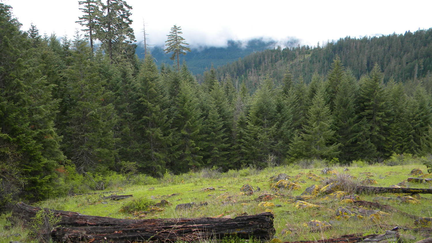
3572_450_Road_Rock_Meadow |
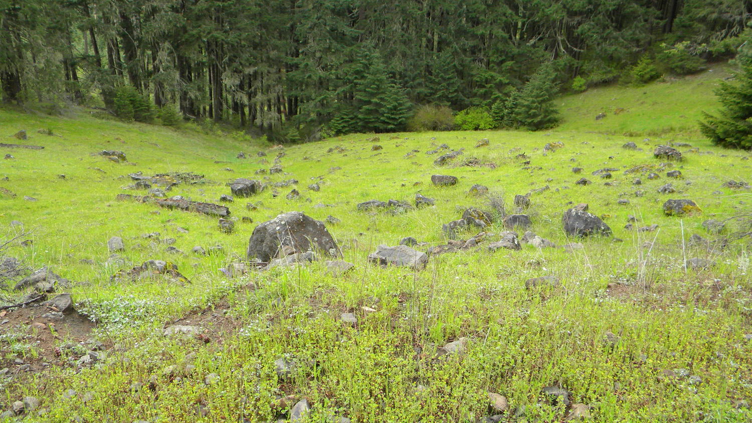
3573_Road_Rock_Meadow |
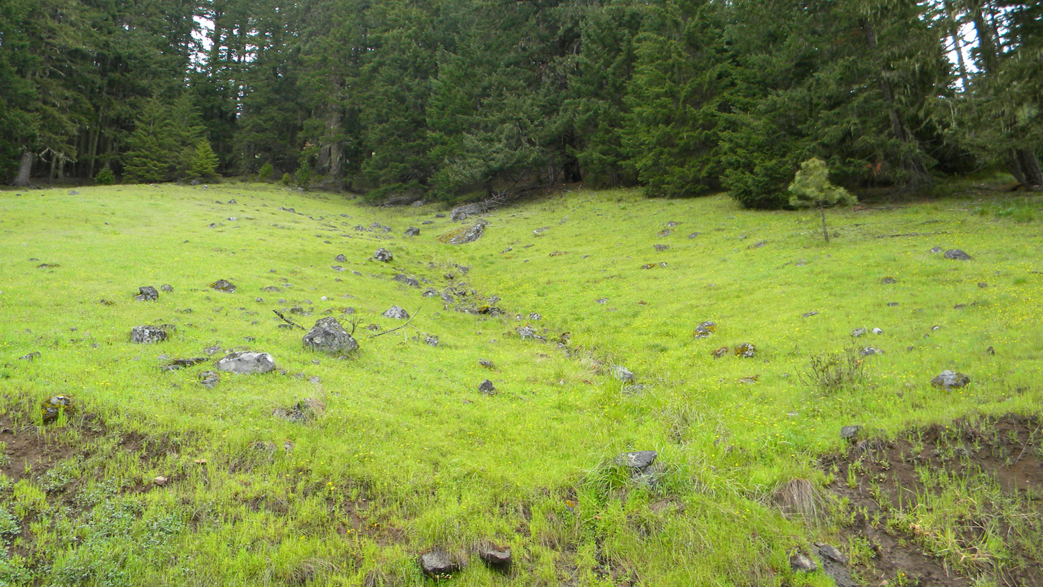
3574_450_Road_Meadow |
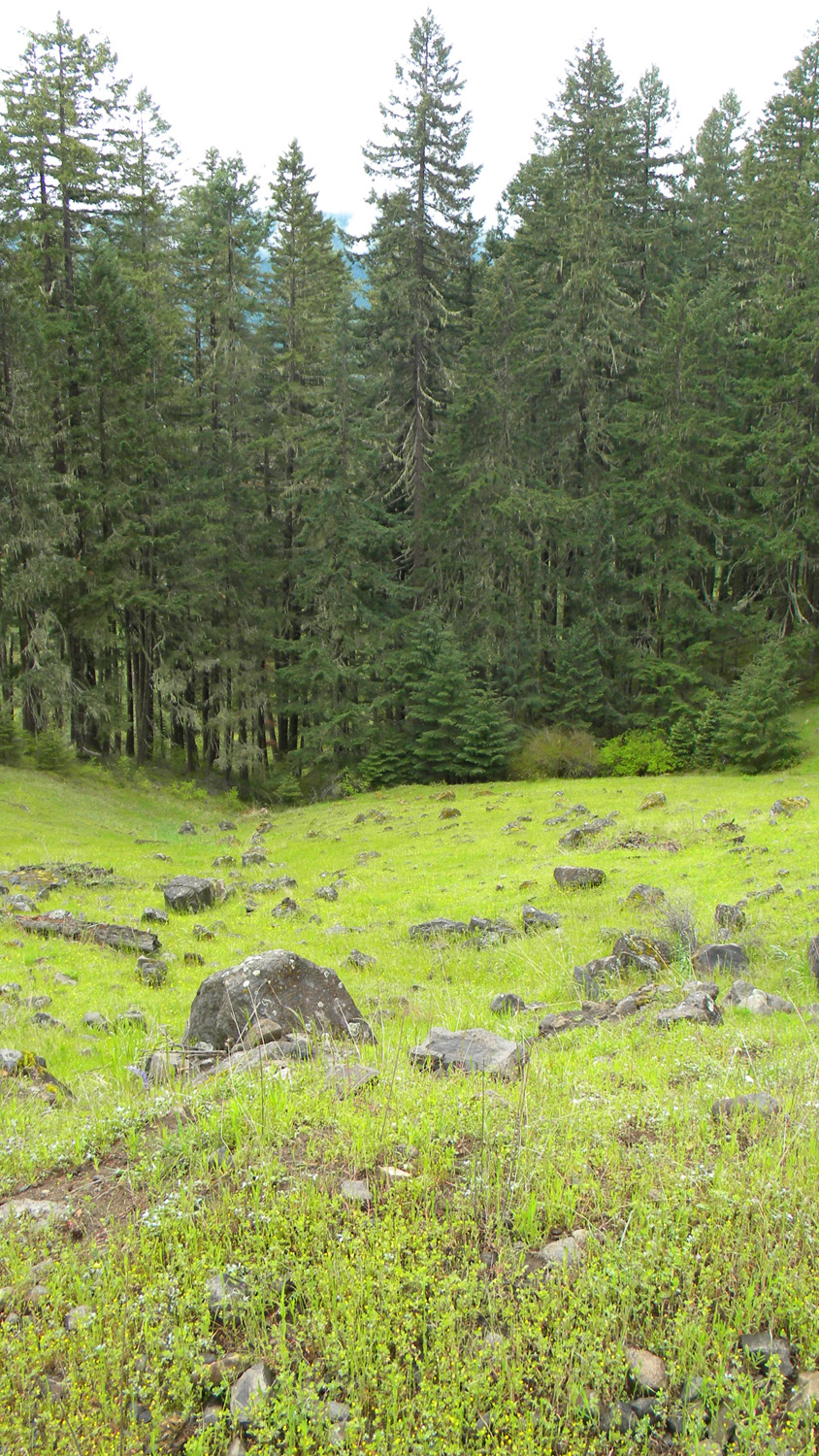
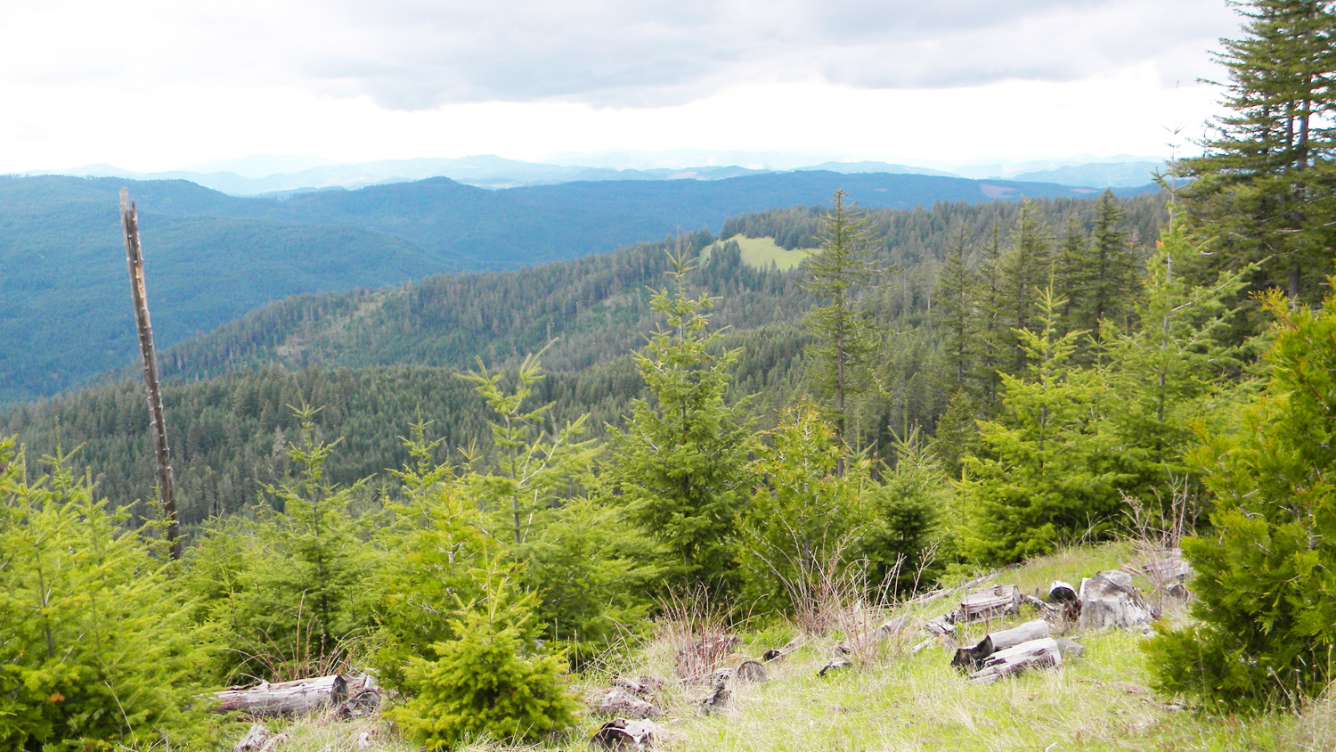
3575_450_Road-Meadow |
3576_450_Road_Meadow |
 |
 |
 |
 |
 |
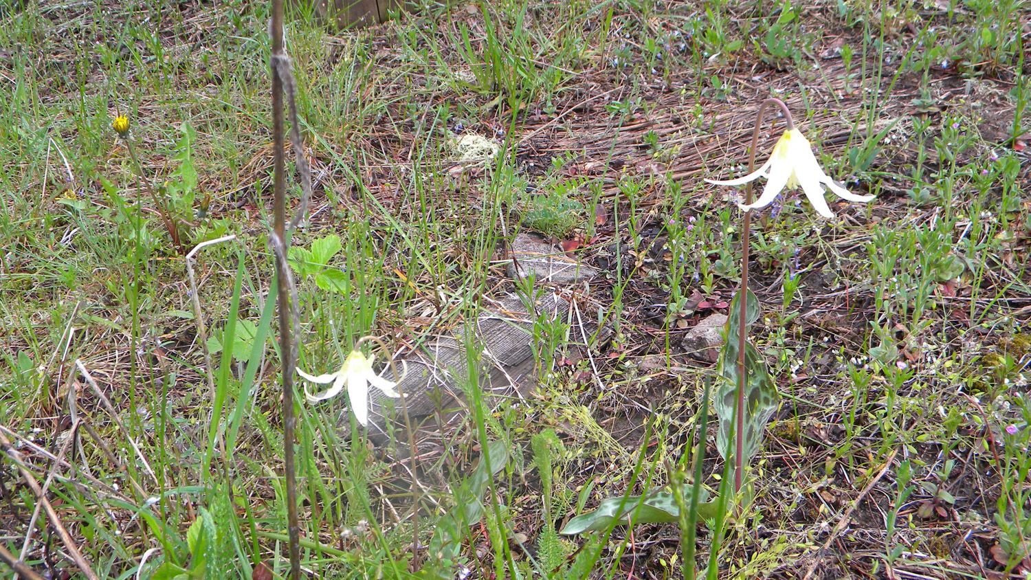
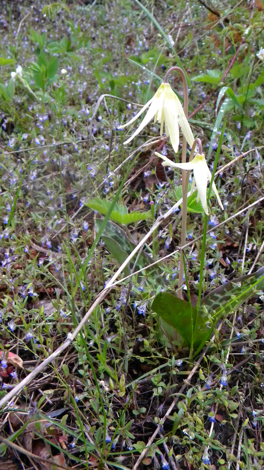
3634_Fawn_Lilies |
3635_Fawn_Lilies |
3636_3114_Road_View |
3637_3114_Road_View |
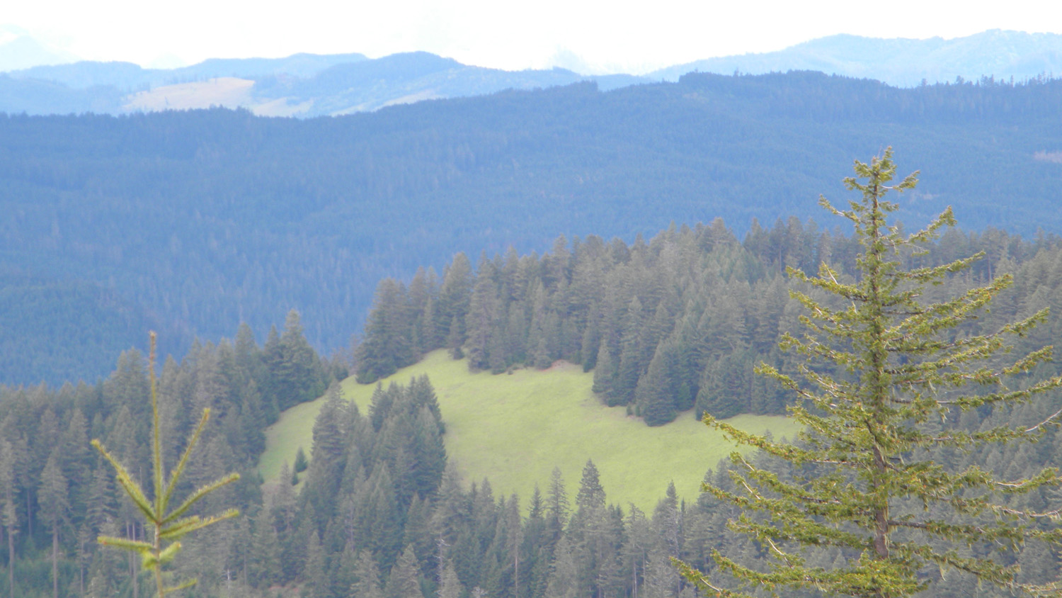
3638_Green_Prairie |
 |
 |
 |
 |
 |
3639_500_Road |
3647_491_Road_Speed_Bump |
3648_491_Road |
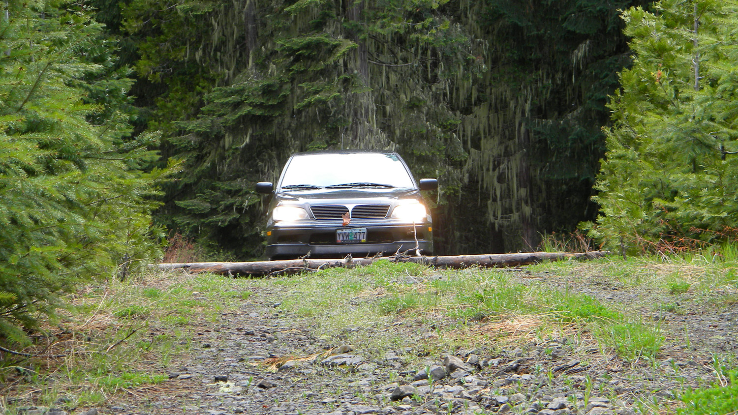
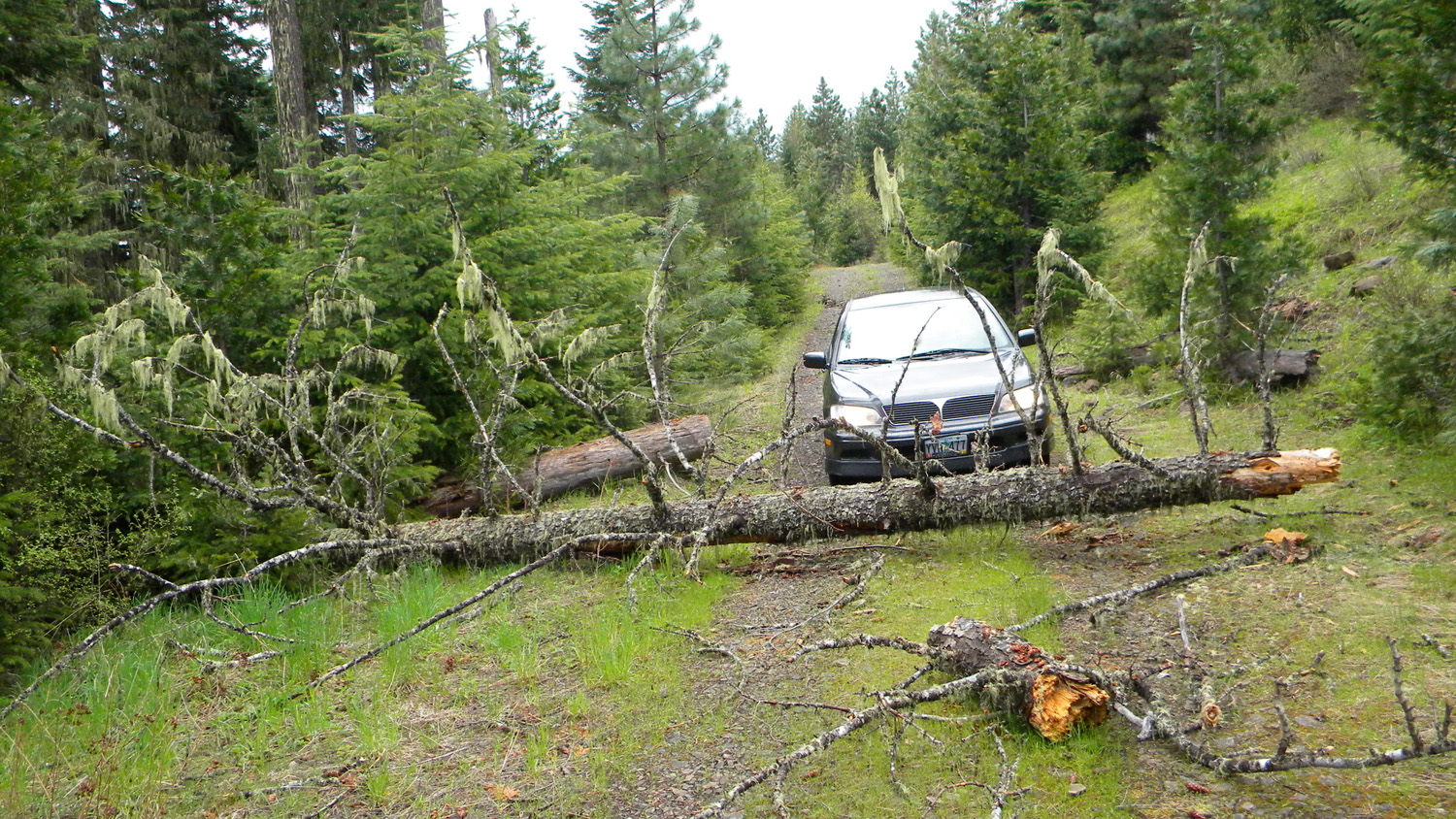
3649_491_Road_Blocked |
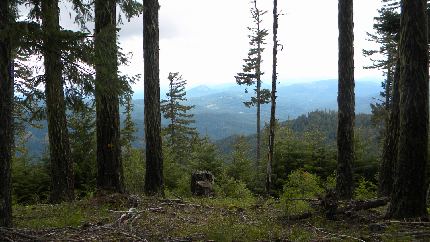
3656_490_Road_View |
 |
 |
 |
 |
 |
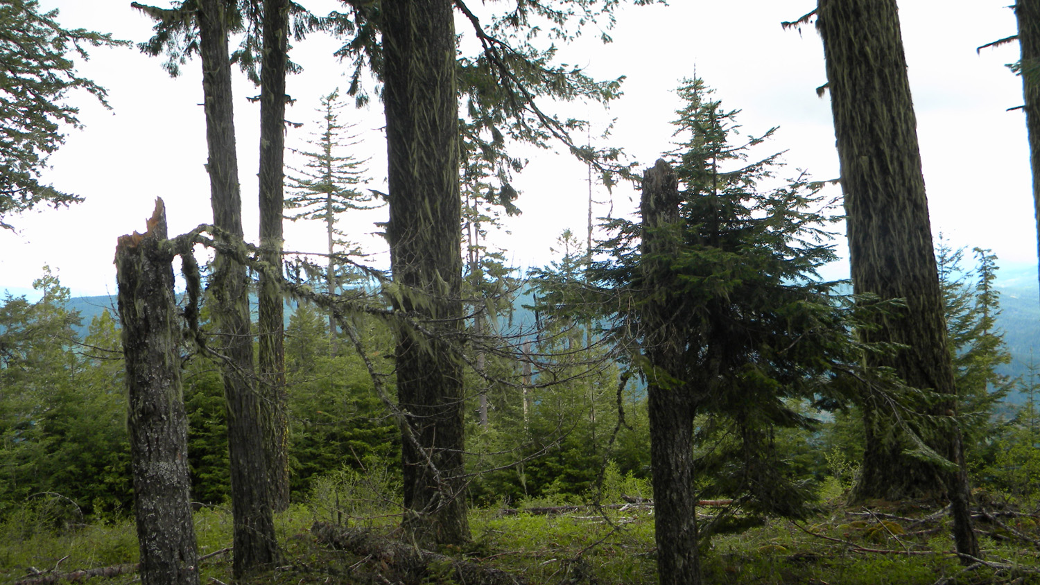
3657_490_Road_View |
3658_490_Road_View |
3659_490_Road_View |
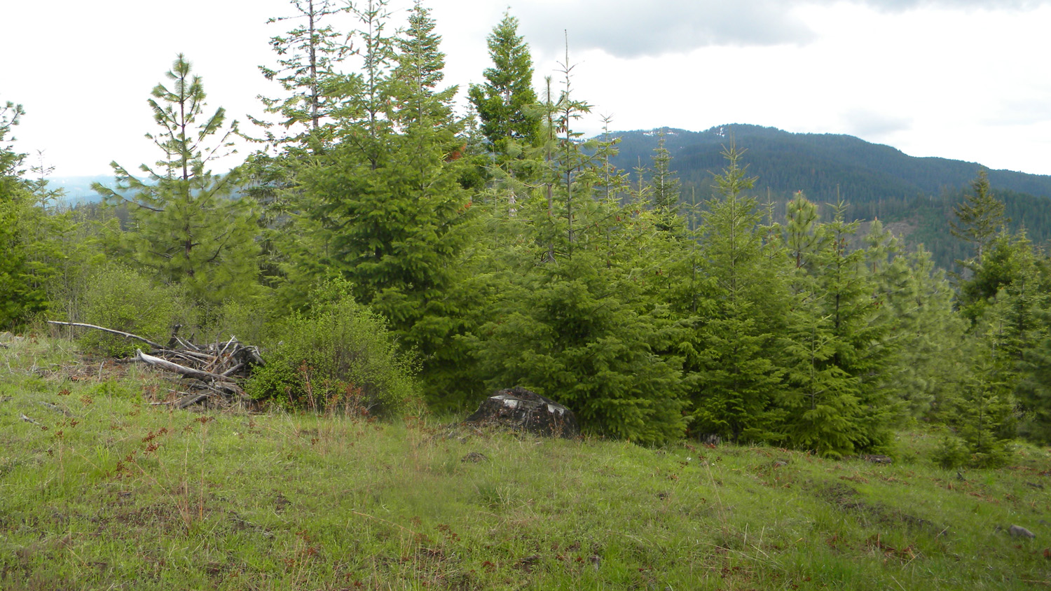
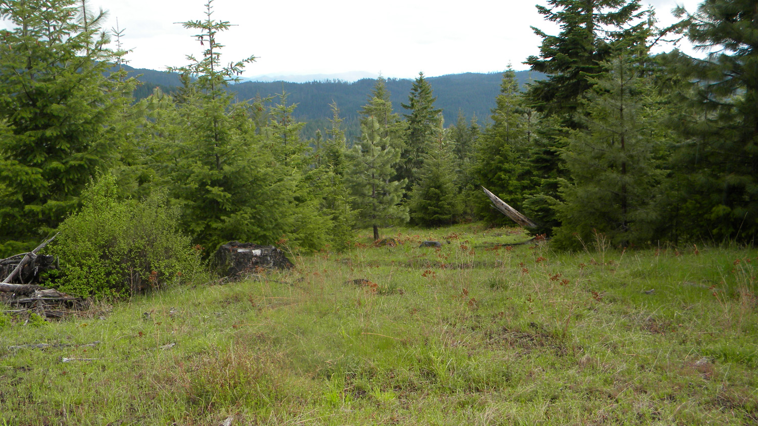
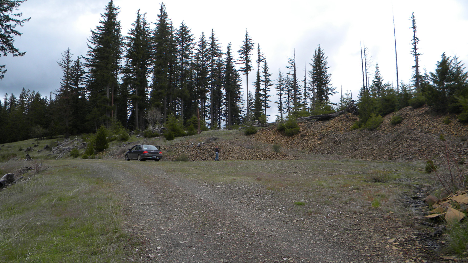
3660_490_Road_Quary |
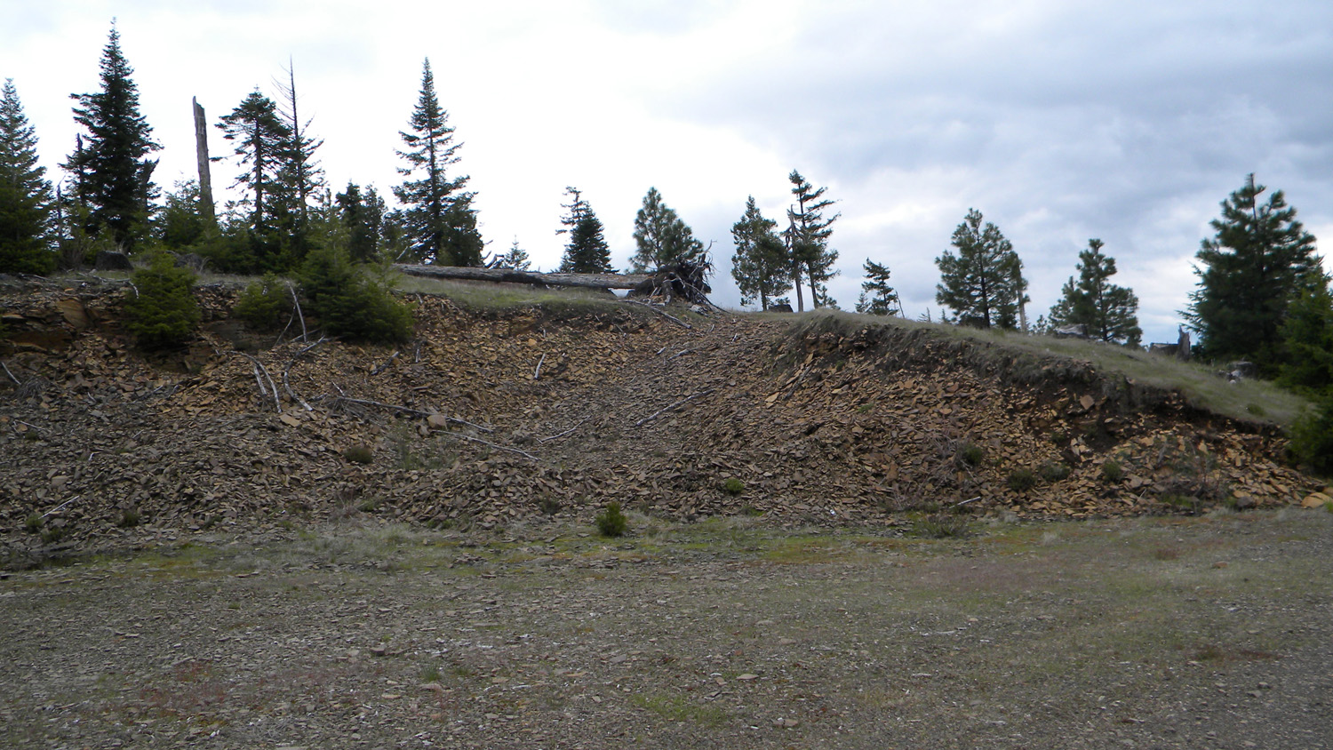
3661_490_Road_Quary |
 |
 |
 |
 |
 |
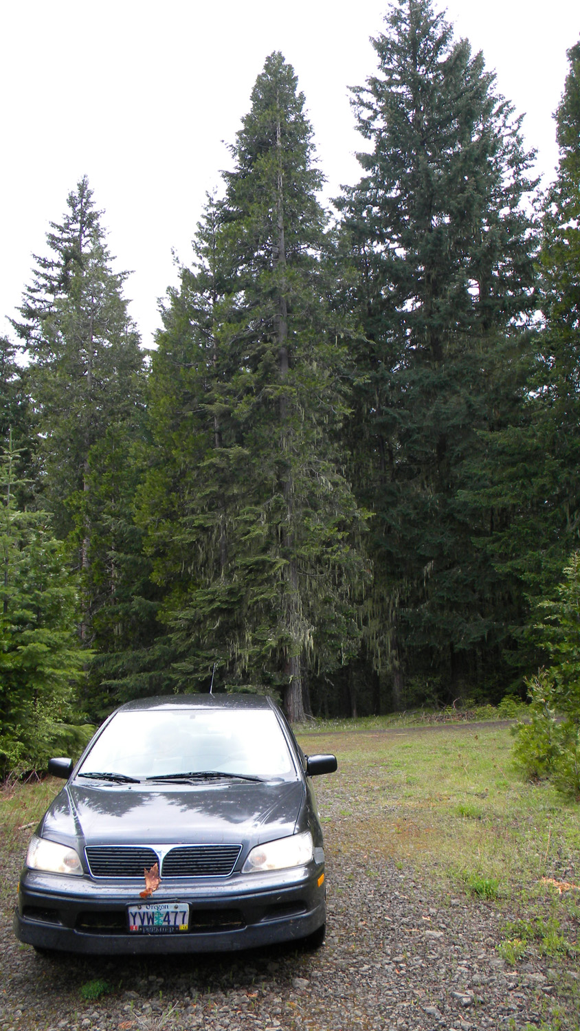
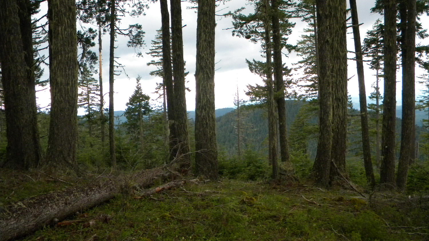
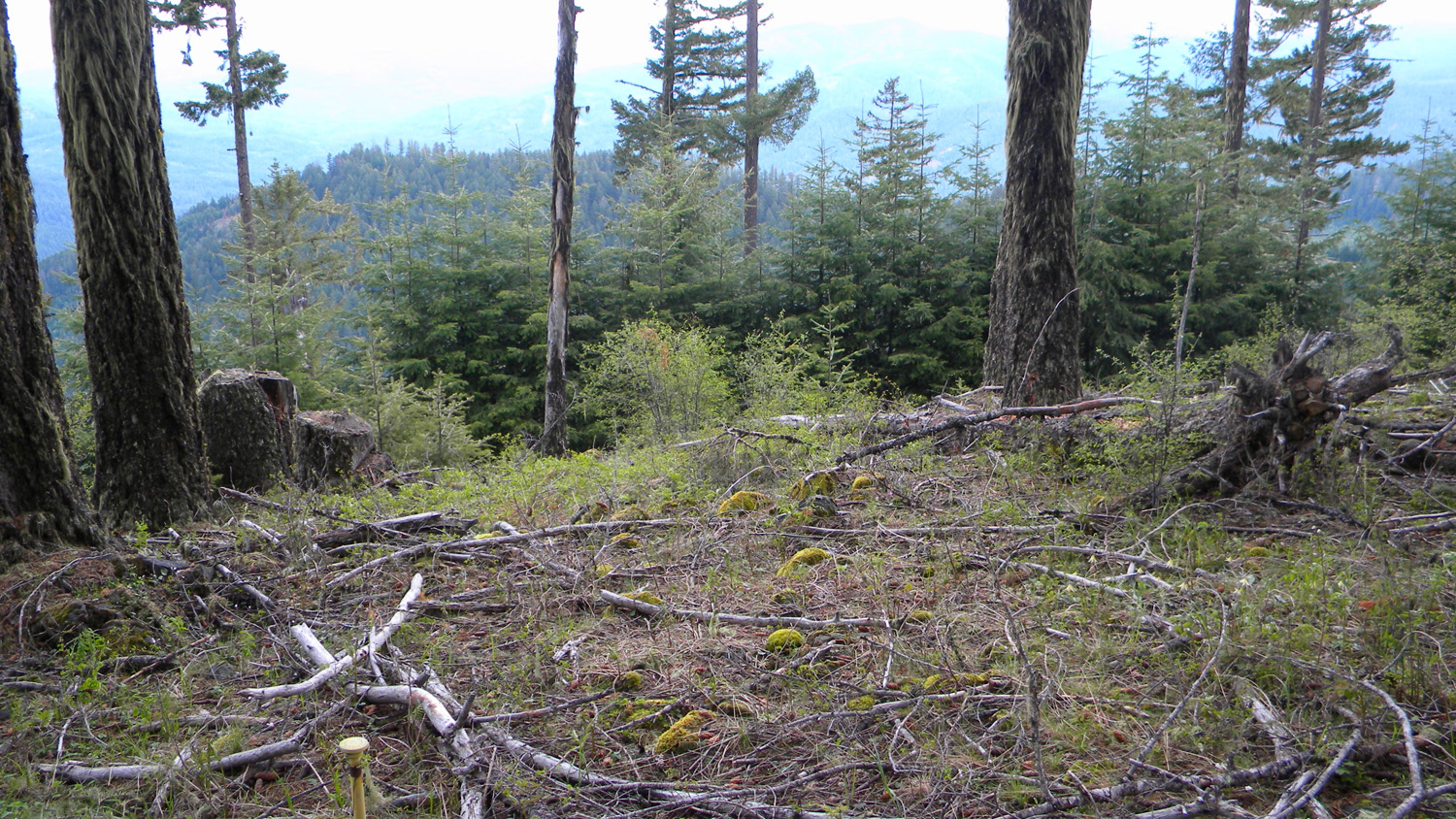
3662_490_Road_Trees |
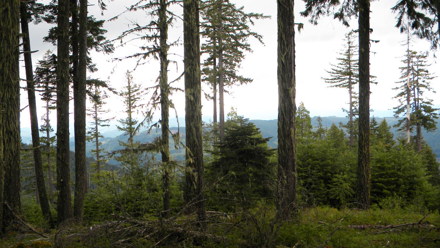
3663_490_Road_Trees |
3664_490_Road_Trees |
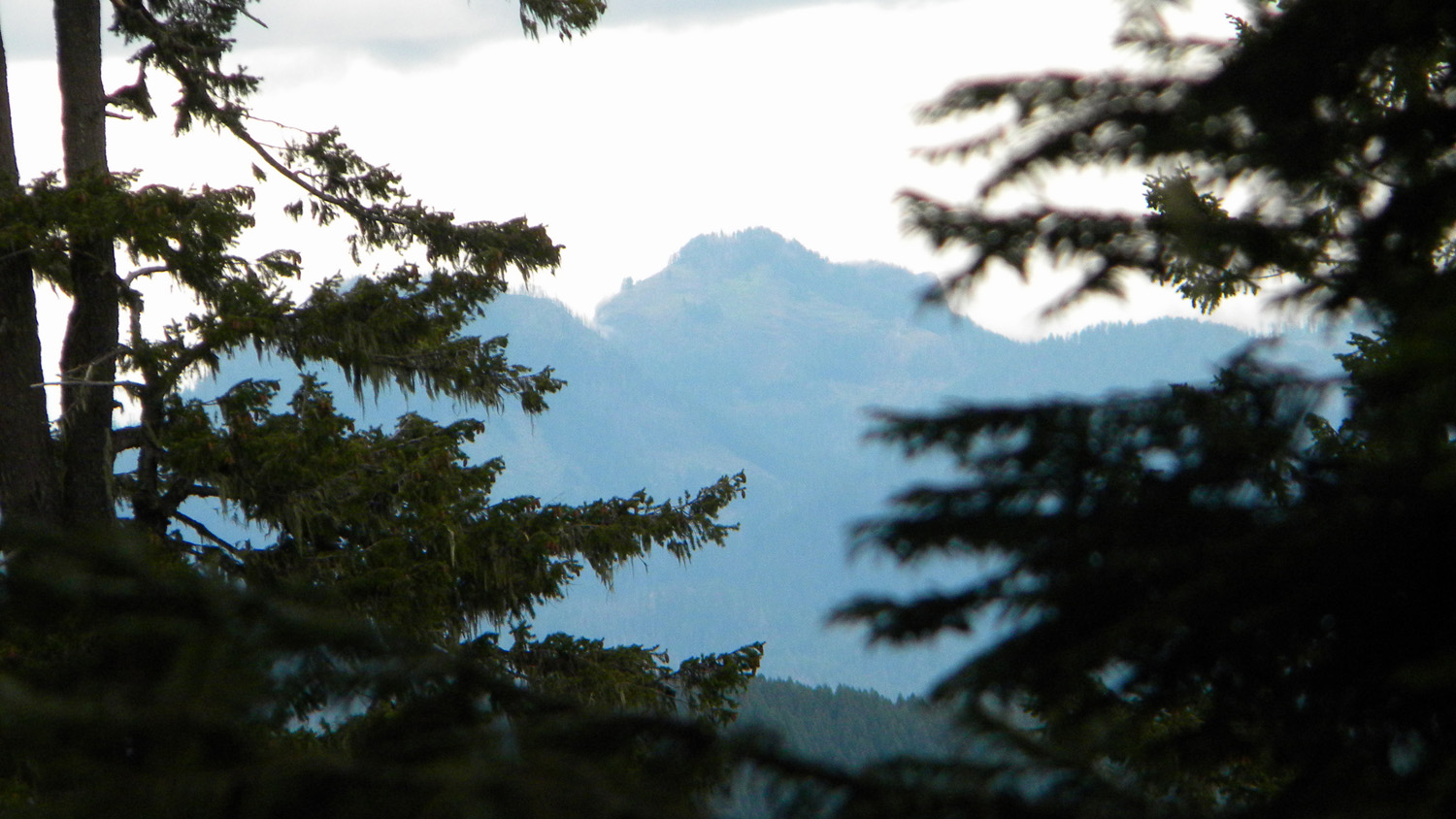
3665_Black_Butte |
3666_490_Road_View |
 |
 |
|||
3667_490_Road_View |
3668_490_Road_View |