
Upper South Umpqua Headwaters Precontact Reference Study
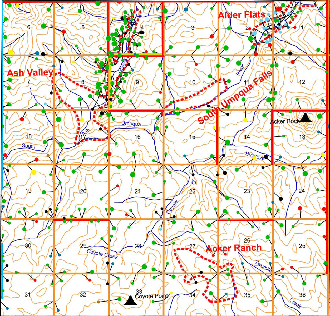
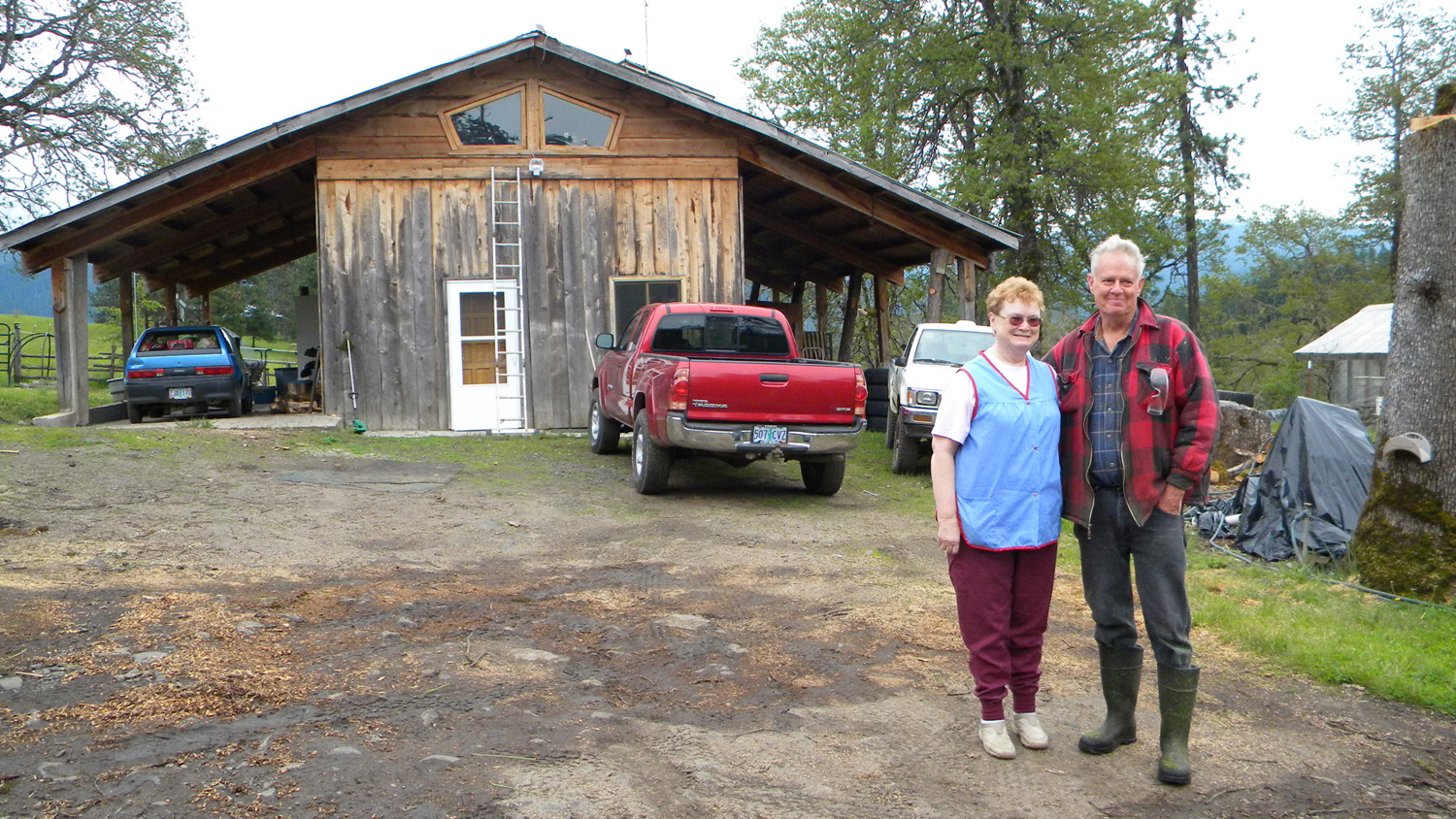
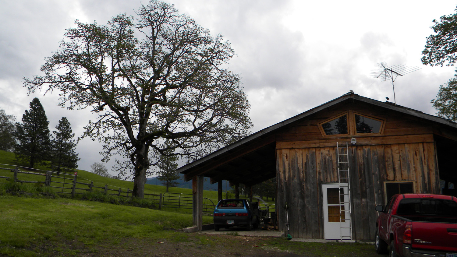
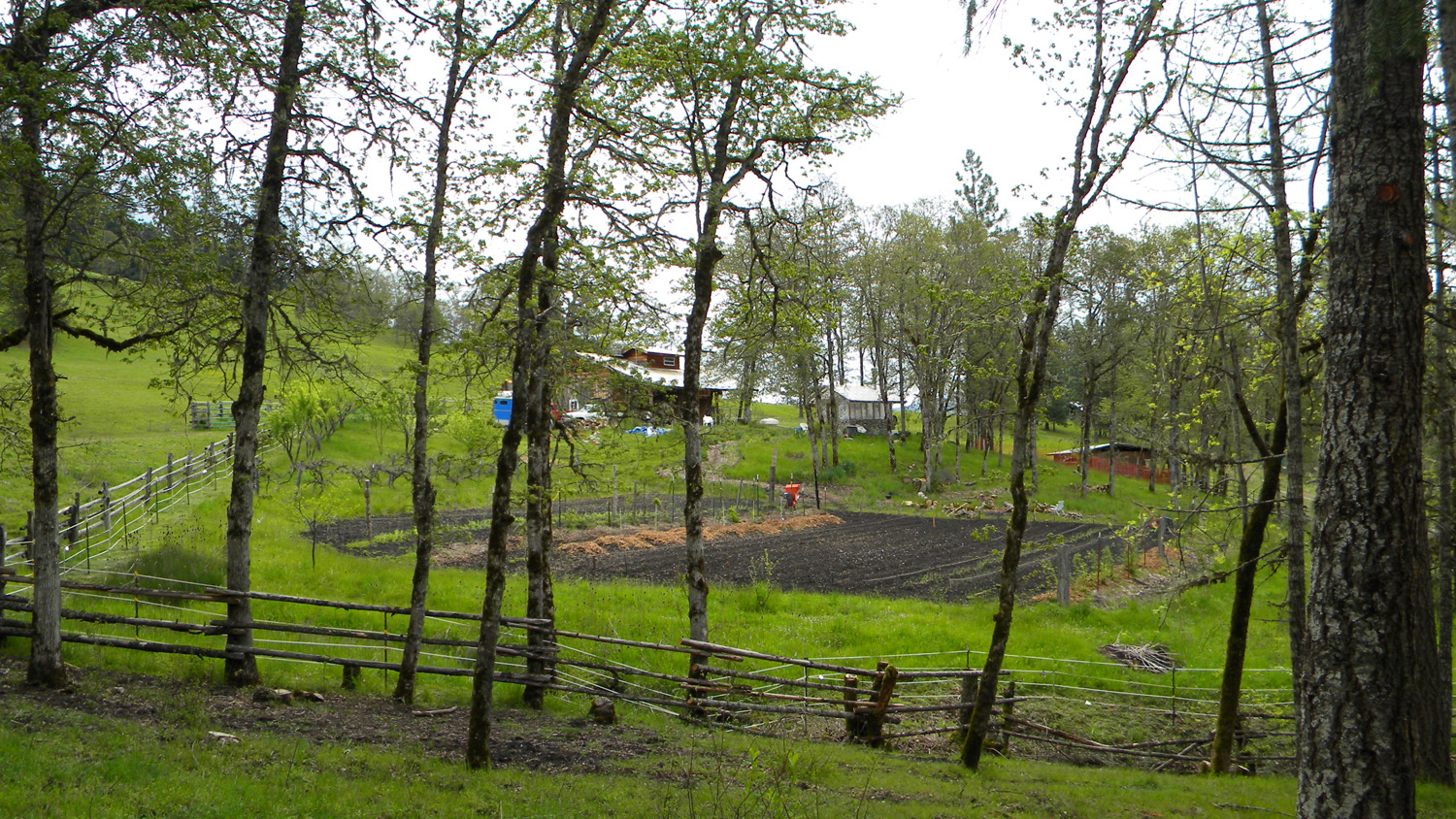
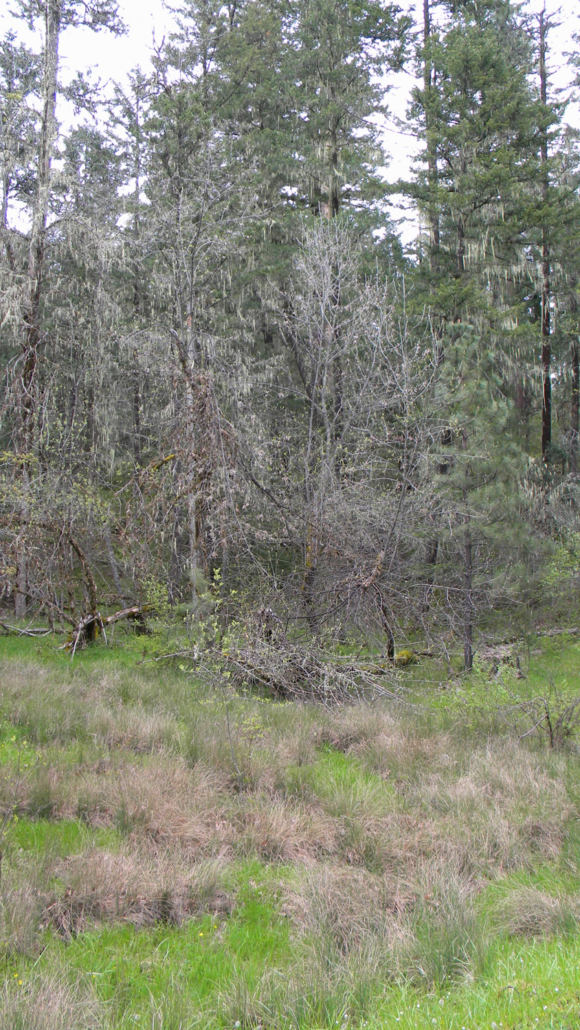
Acker Ranch
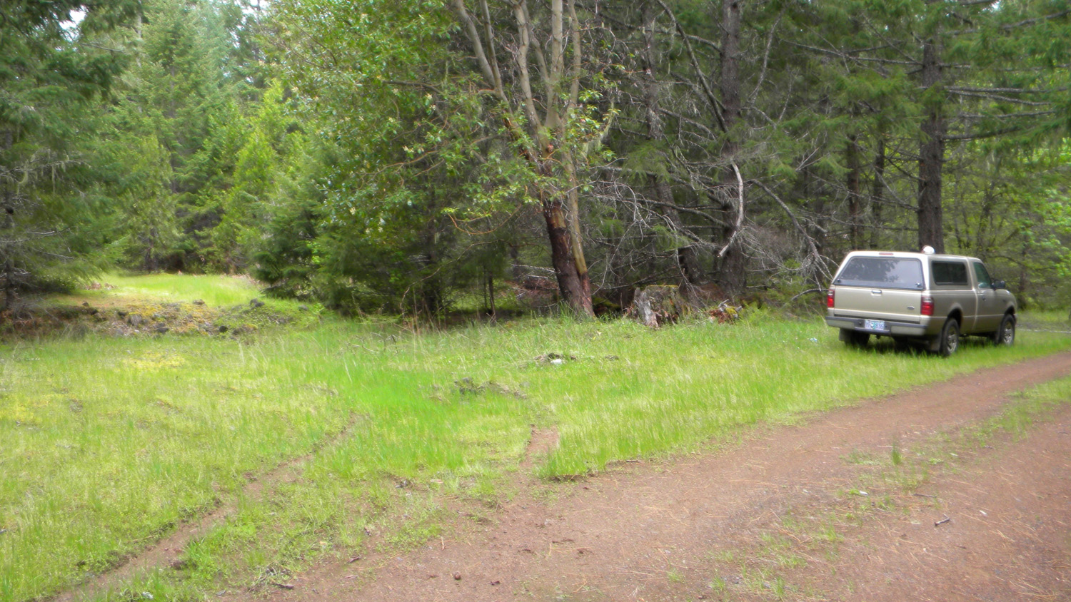
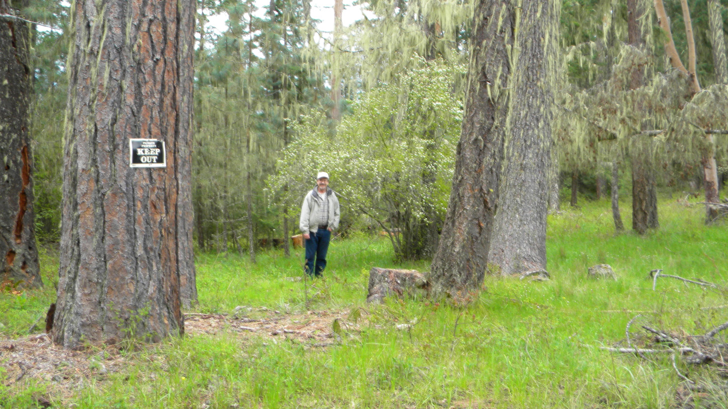
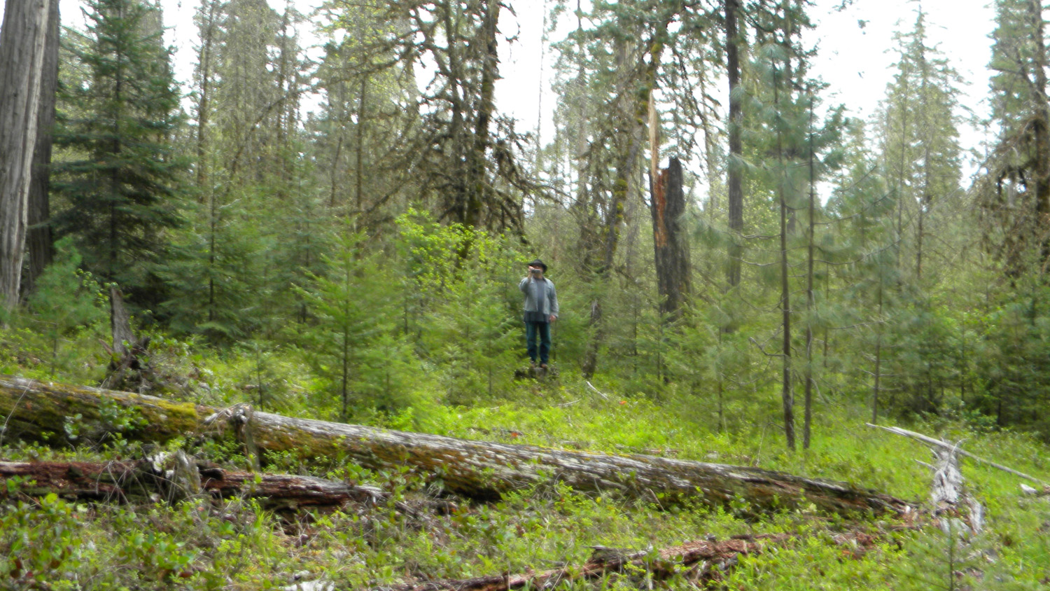
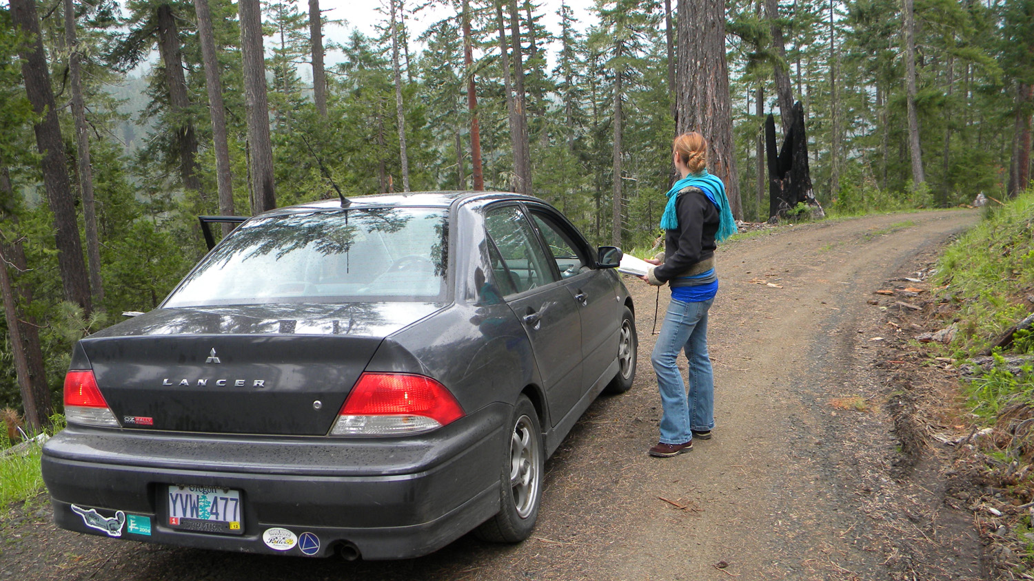
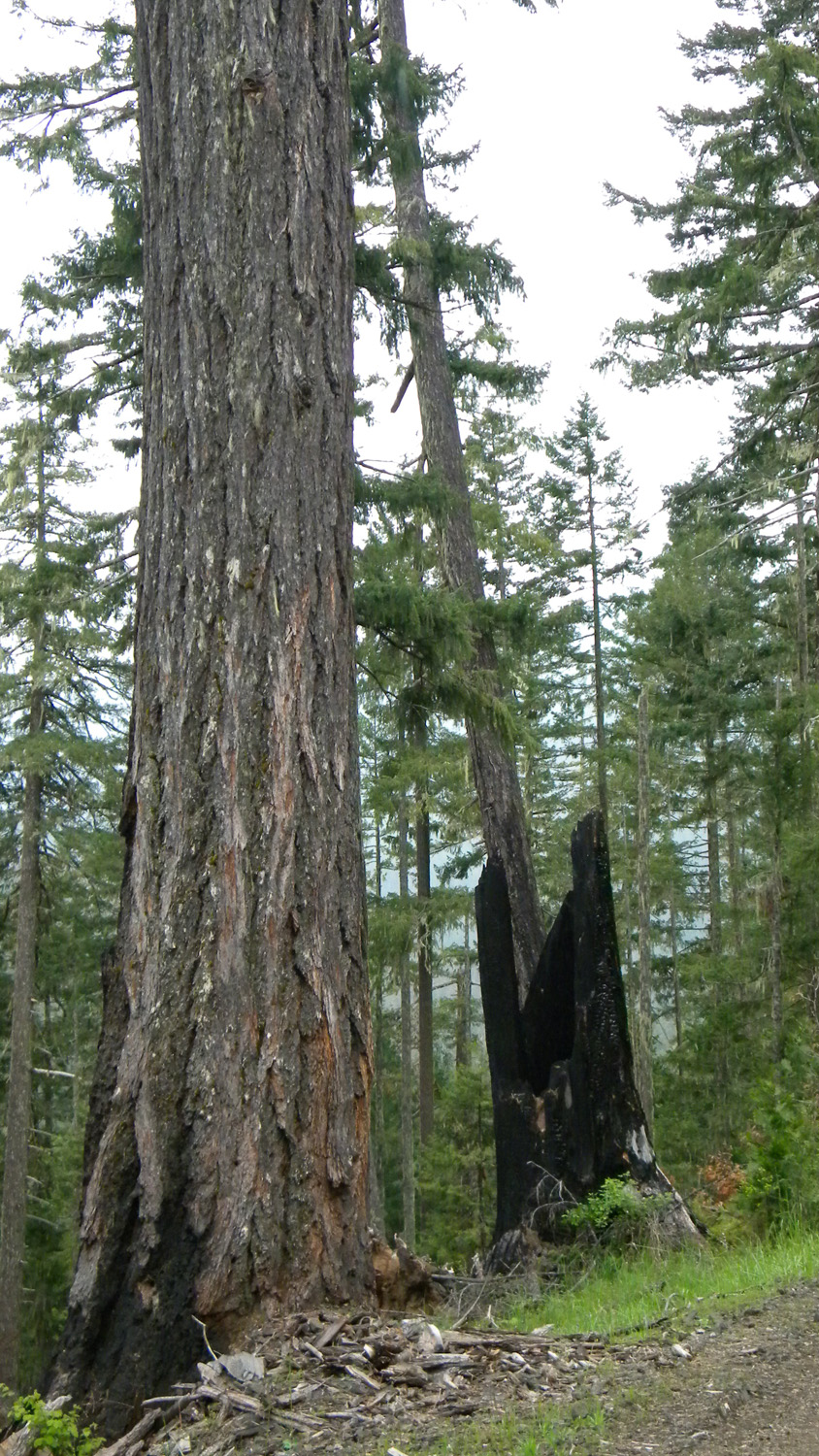
Acker Ranch, South Umpqua River, Douglas County, Oregon, May 25, 2010 (B. Zybach).
Acker Ranch Area of Special Interest is located
along the cusp between Buckeye Creek subbasin and Jackson Creek subbasin on the South
Umpqua River drainage in Tsp. 29 S., Rng. 1 E.
This page includes specific maps
and aerial photographs of Acker Ranch, panoramas
and QTVR video files constructed from the
2010 field research studies, and individual historical
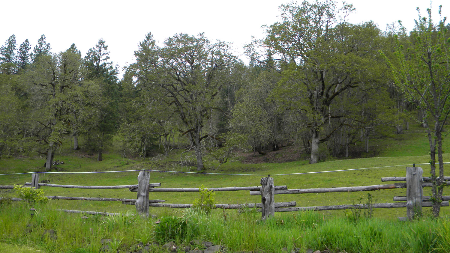
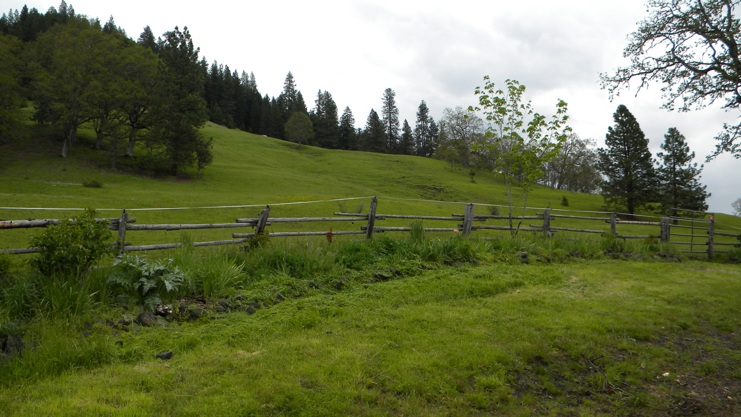
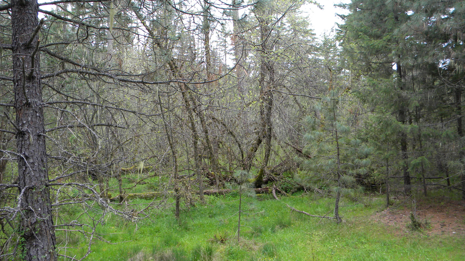
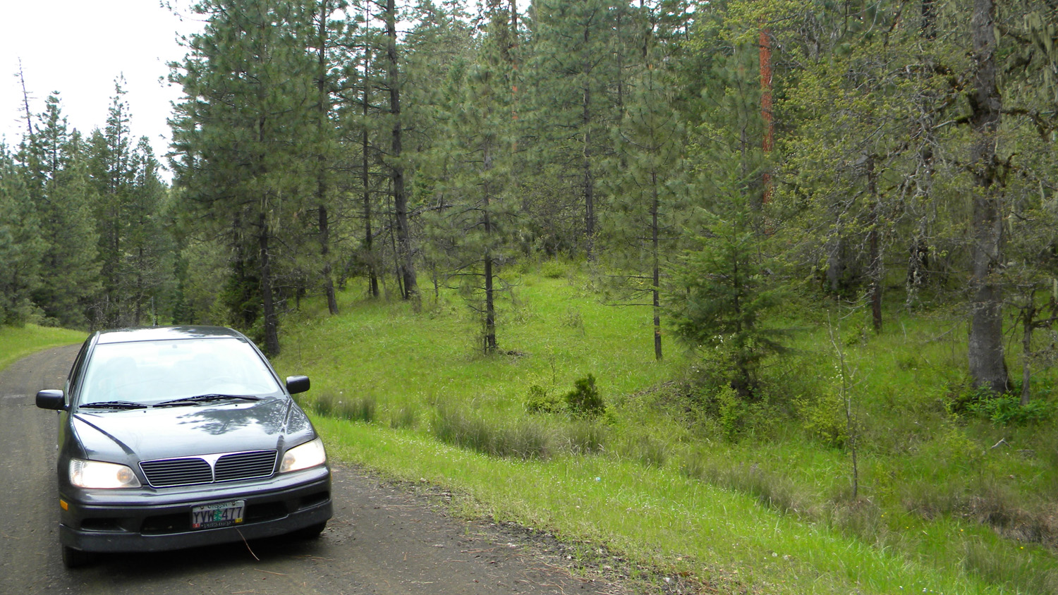
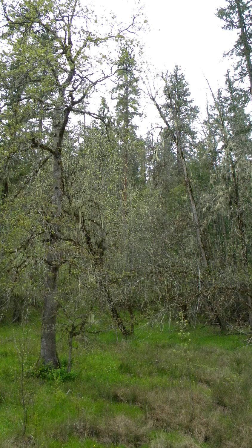
and 2010 documentary photographs showing current
condtions, native plants and animals, and other points of interest related
to this study area. Panoramas and QTVRs
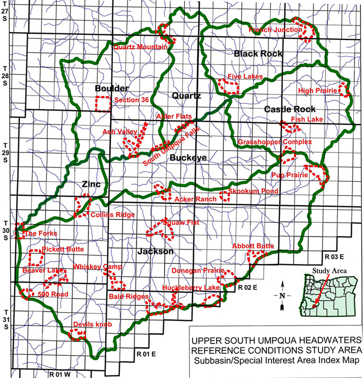

Subbasin Index Map
Tsp. 29 S., Rng. 1 E.
July 31, 1940
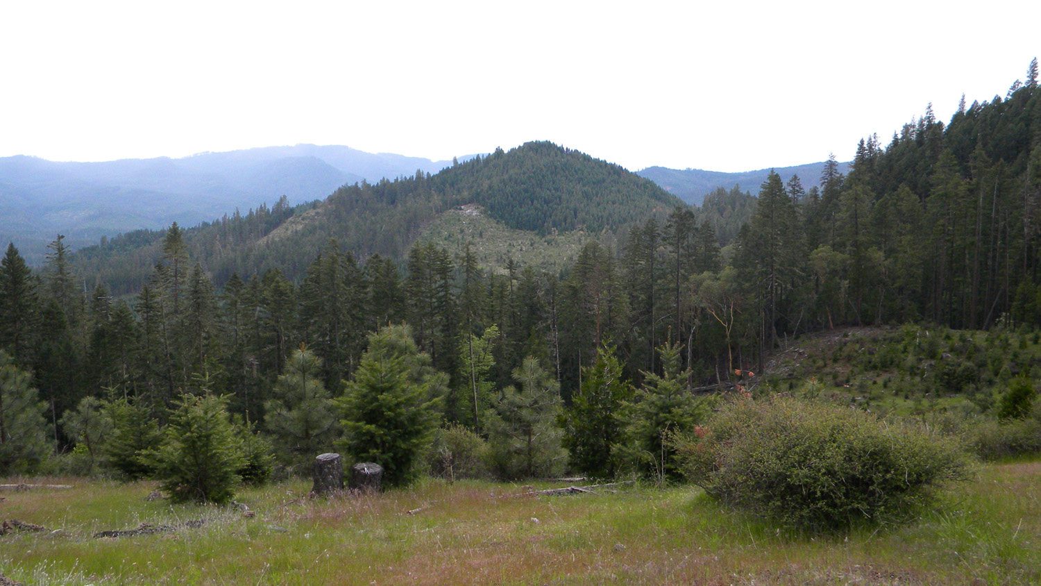
2856_180_Road2866_Mike_on_200_Road2867_Tom_and_Judy2869_Old_Oak2870_Tallow_Butte_Oaks
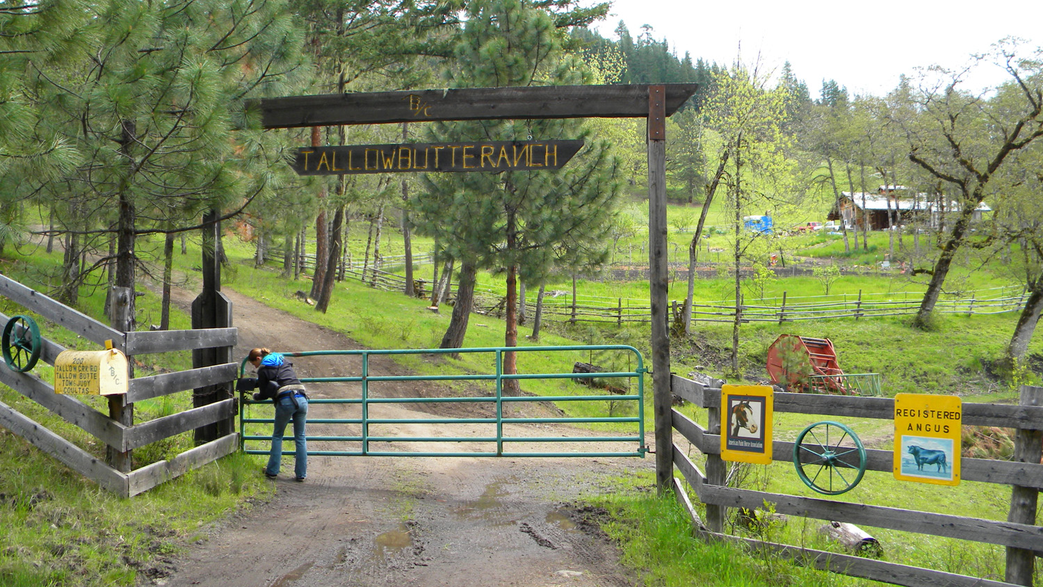
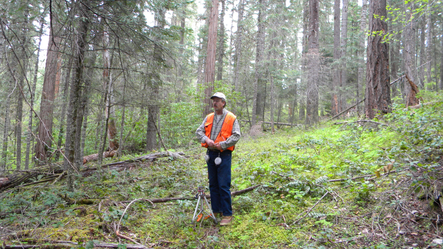
2871_Tallow_Butte_Ranch2872_Tallow_Butte_Ranch2873_Tallow_Butte_Ranch2874_Tallow_Butte_Ranch2876_Mike_at_Work
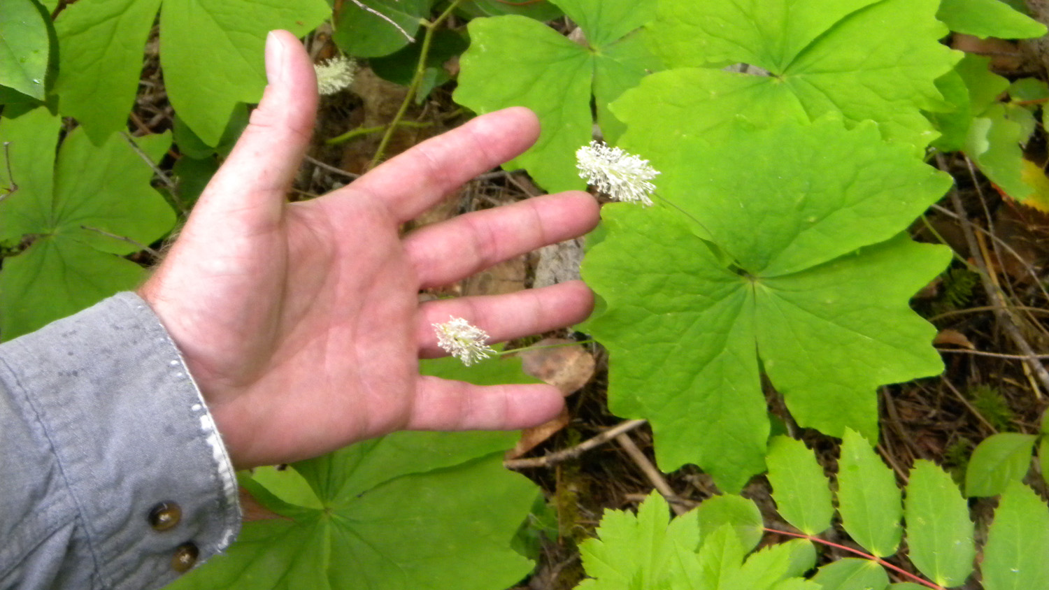
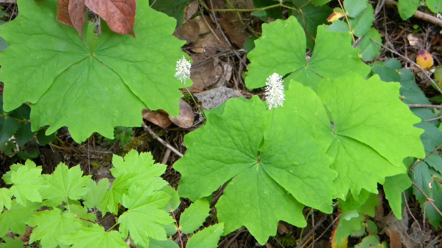
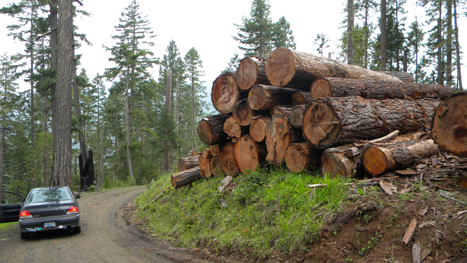
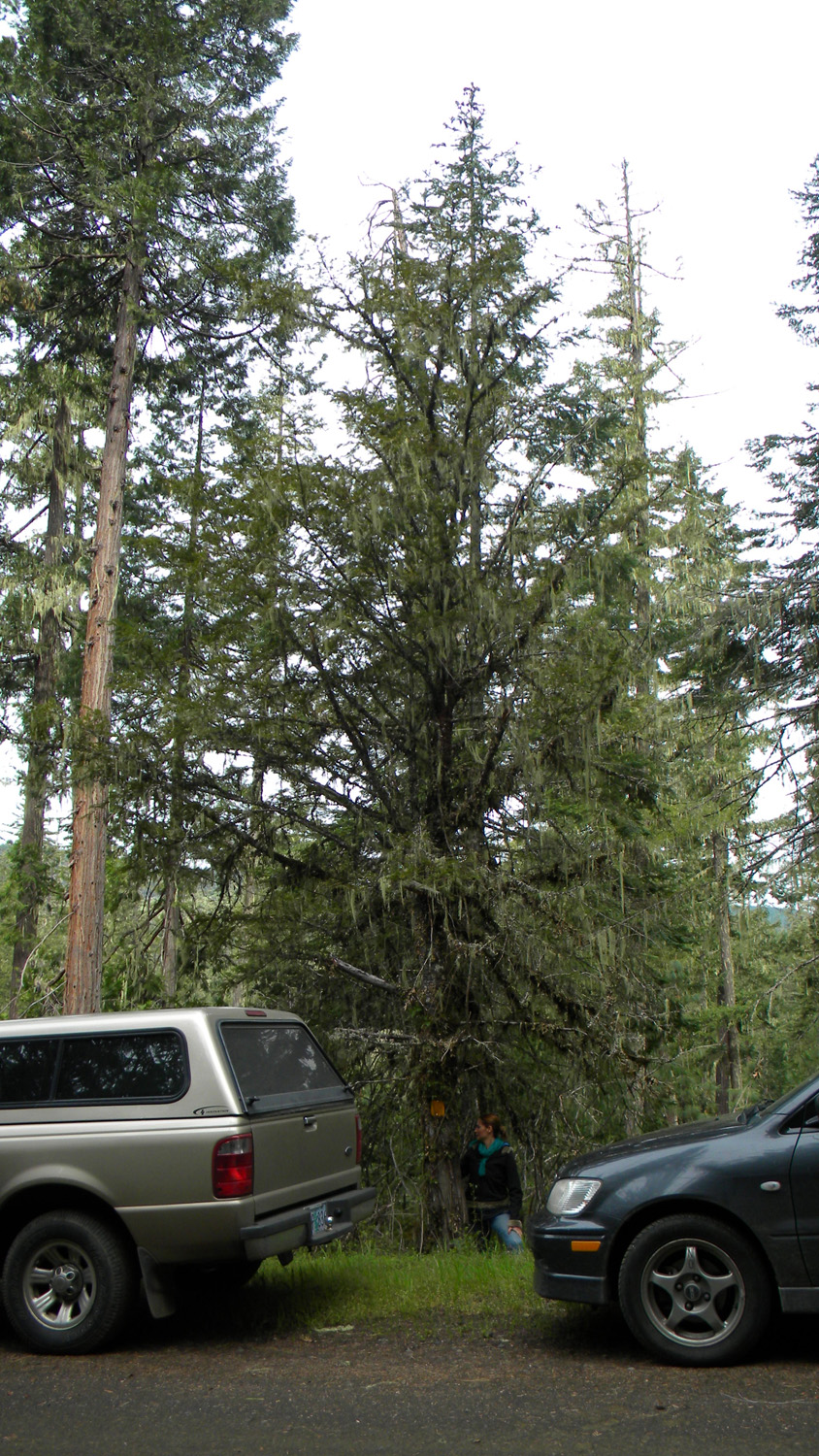
2877_Oak_Meadow2878_Vanilla_Leaf2879_Vanilla_Leaf2940_Tallow_Butte2941_Giant_Logs
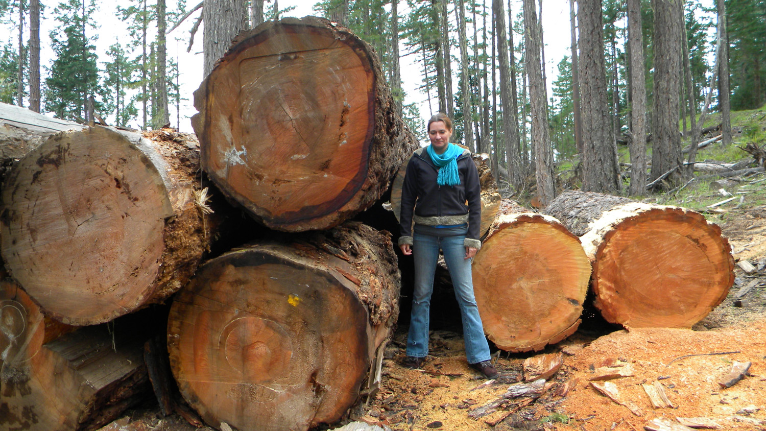
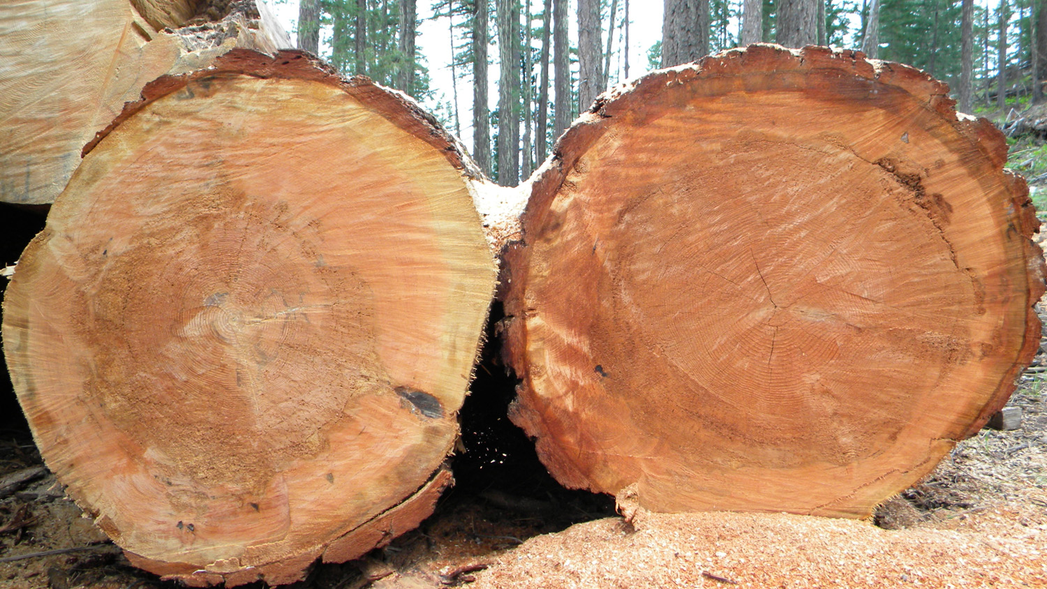
2942_Giant_Logs2943_Giant_Logs2944_298_Road2945_Burn_Scars3005_Wetland
3006_Wetland3007_Wetland3008_Wetland