Upper South Umpqua Headwaters Precontact Reference Study
Tsp. 31 S., Rng. 2 E.
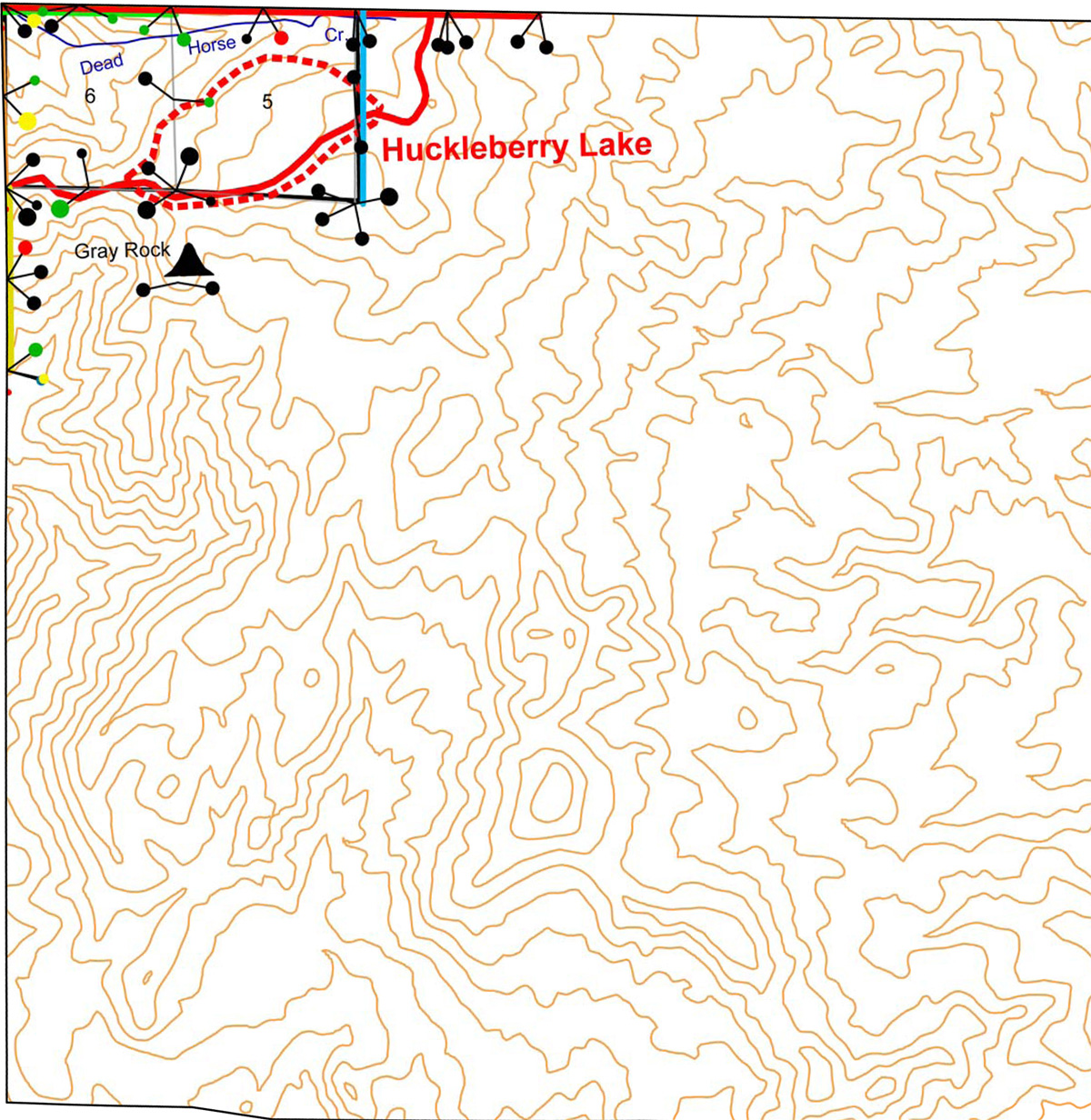
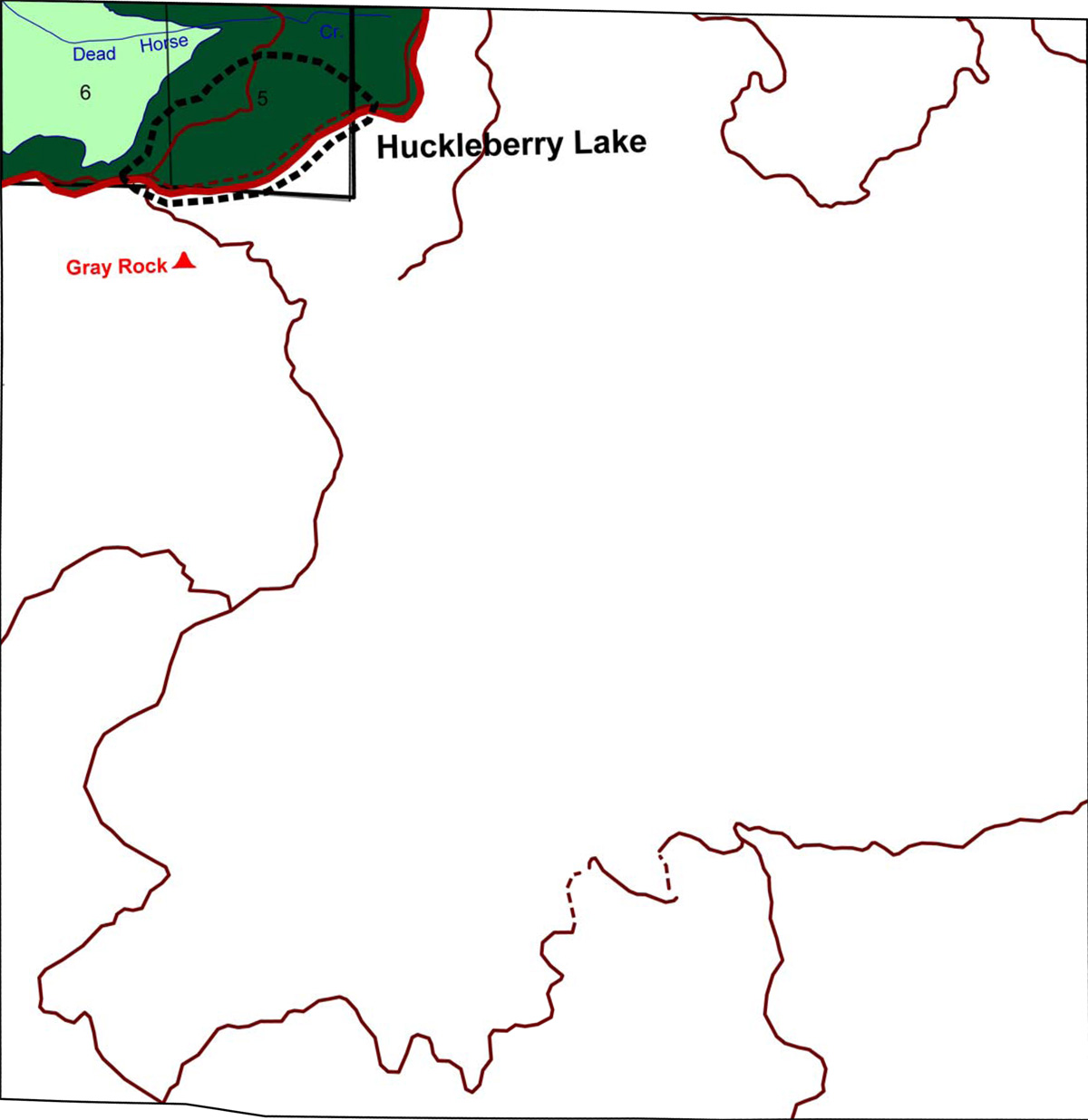
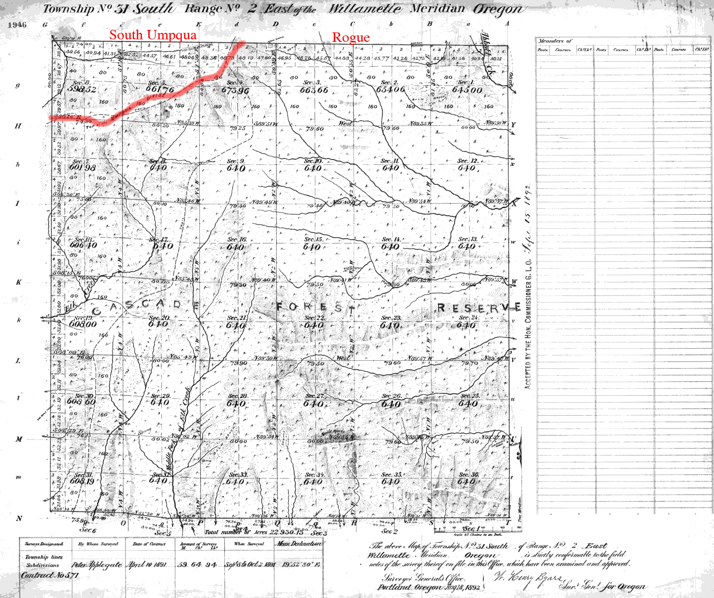
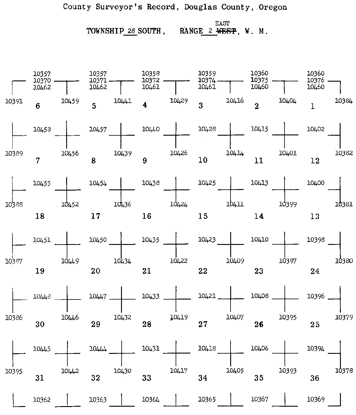
The small portion of Tsp. 31 S., Rng. 2 E. included in the Upper South Umpqua Headwaters Precontact Reference Study was surveyed in 1891 and mapped in 1892 (Applegate 1891). Here is the link to the Original Land Survey Notes. The area is drained by Dead Horse Creek and is just north of the Grey Rock fire lookout, which is in Jackson County in the Rogue River basin and included in the ORWW Osbornes Project.
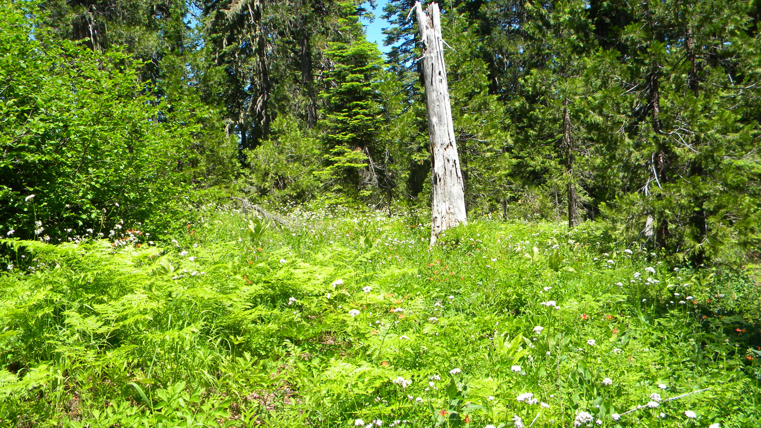
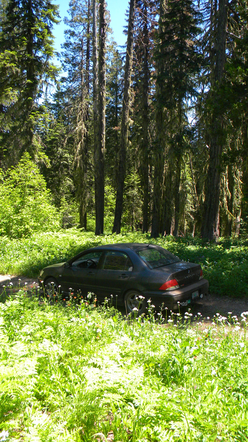
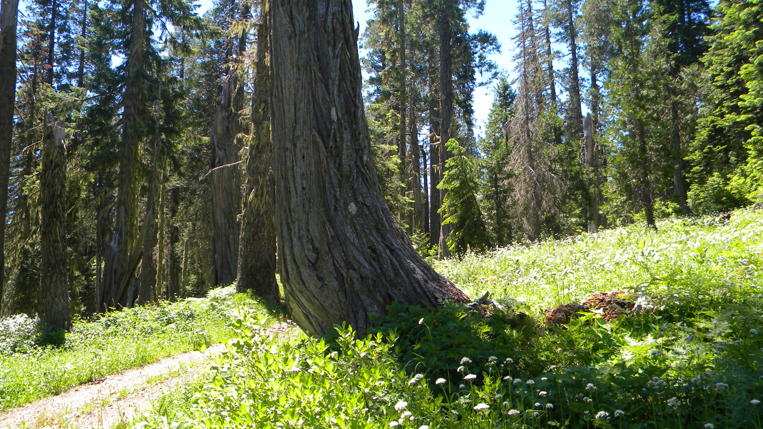
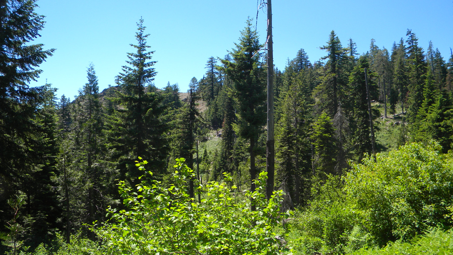
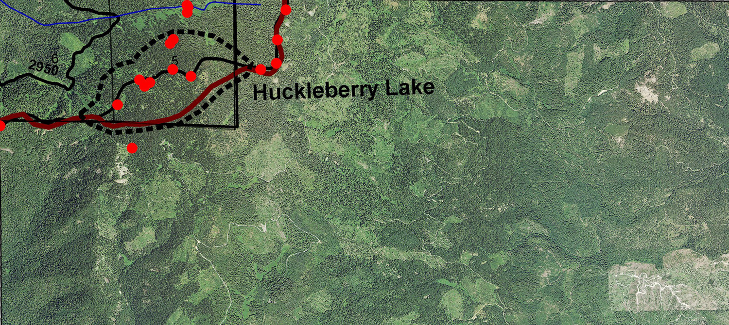
This fractional township is located in Jackson Creek subbasin and includes the Huckleberry Lake Area of Special Interest.This page includes specific maps and aerial photographs, and individual historical and 2010 documentary photographs showing current condtions, native plants and animals, and other points of interest related to this study area.
 |
 |
 |
 |
5242_800_Road_Plants |
5243_800_Road |
5244_800_Road |
5246_800_Road_View |
© 2010, 2020 Oregon Websites & Watersheds Project, Inc. & NW Maps Co.