Upper South Umpqua Headwaters Precontact Reference Study
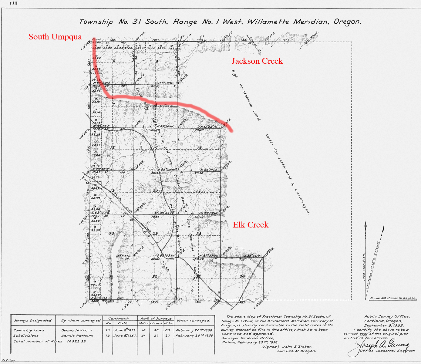
Tsp. 31 S., Rng. 1 W.
The Tsp. 30 S., Rng. 1 E. survey was completed in 1858 and 1923, and mapped in 1858 and 1925 (Hathorn 1858b; Mensch 1923c). Here are the typed survey notes Original Land Survey Notes.
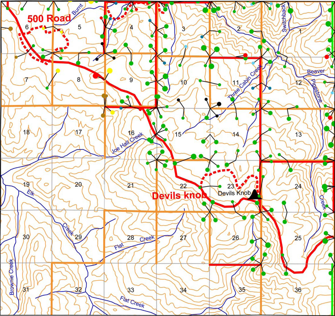
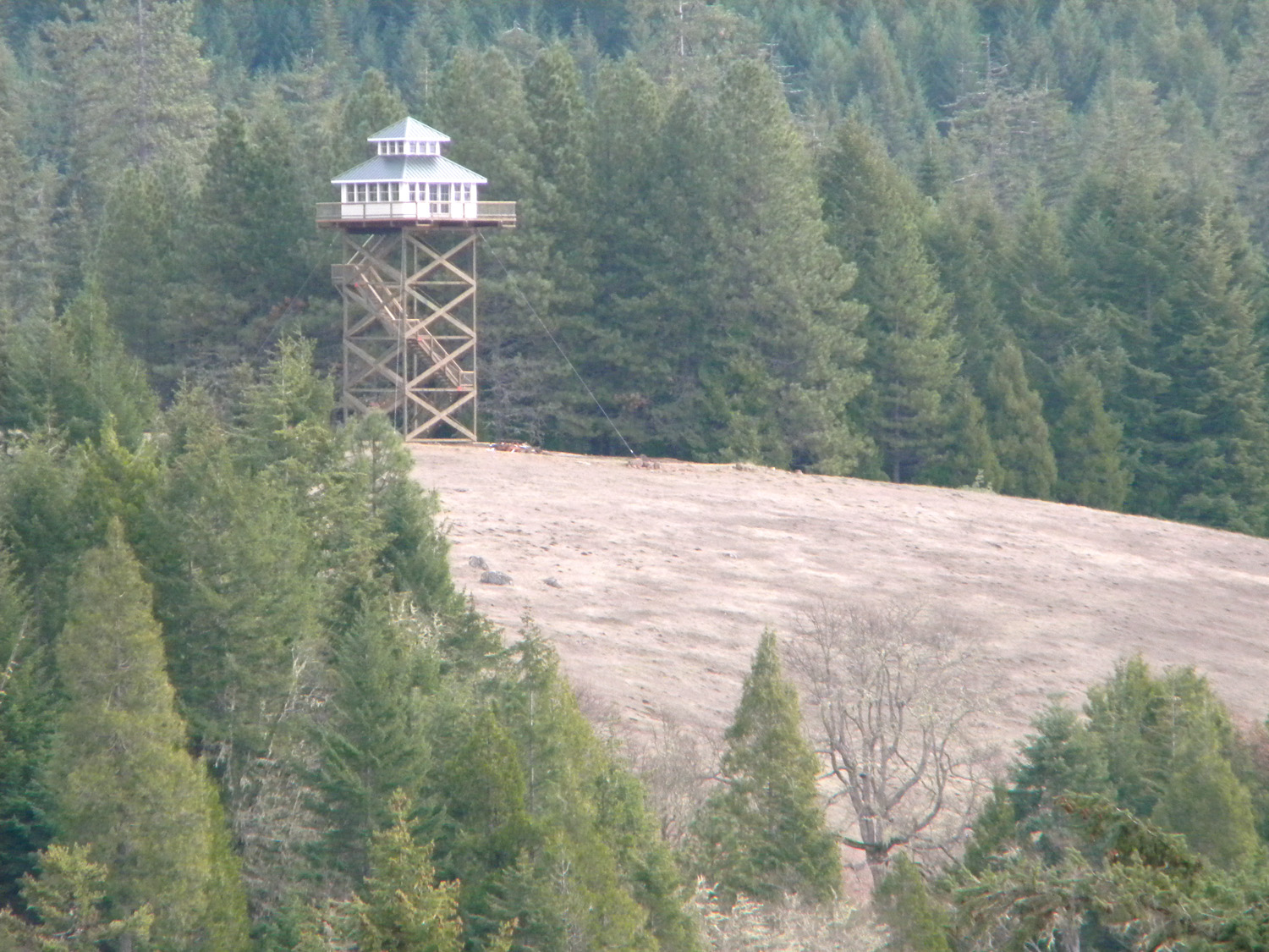
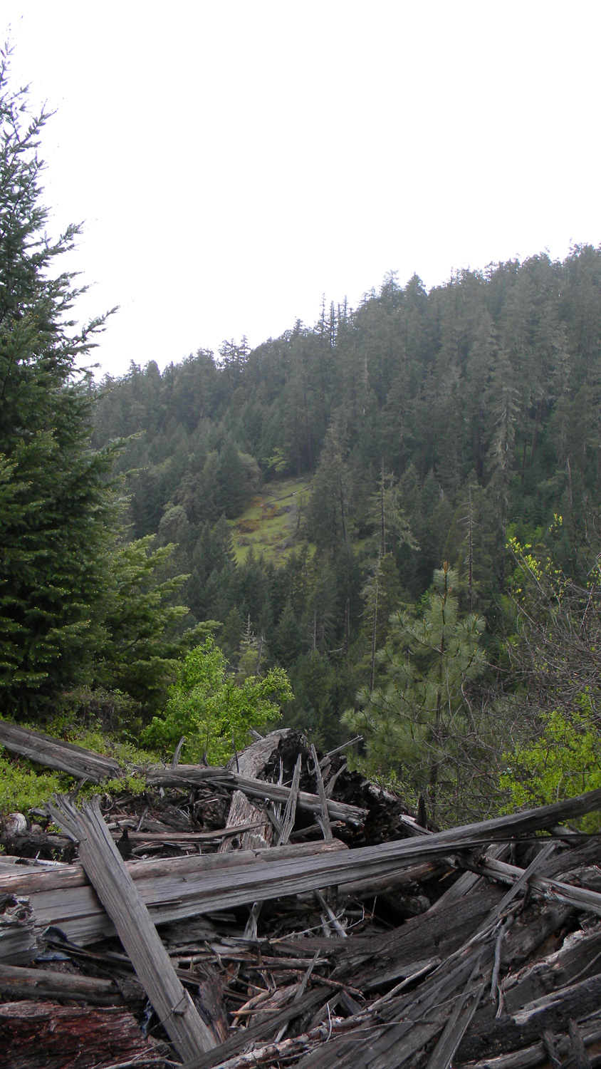
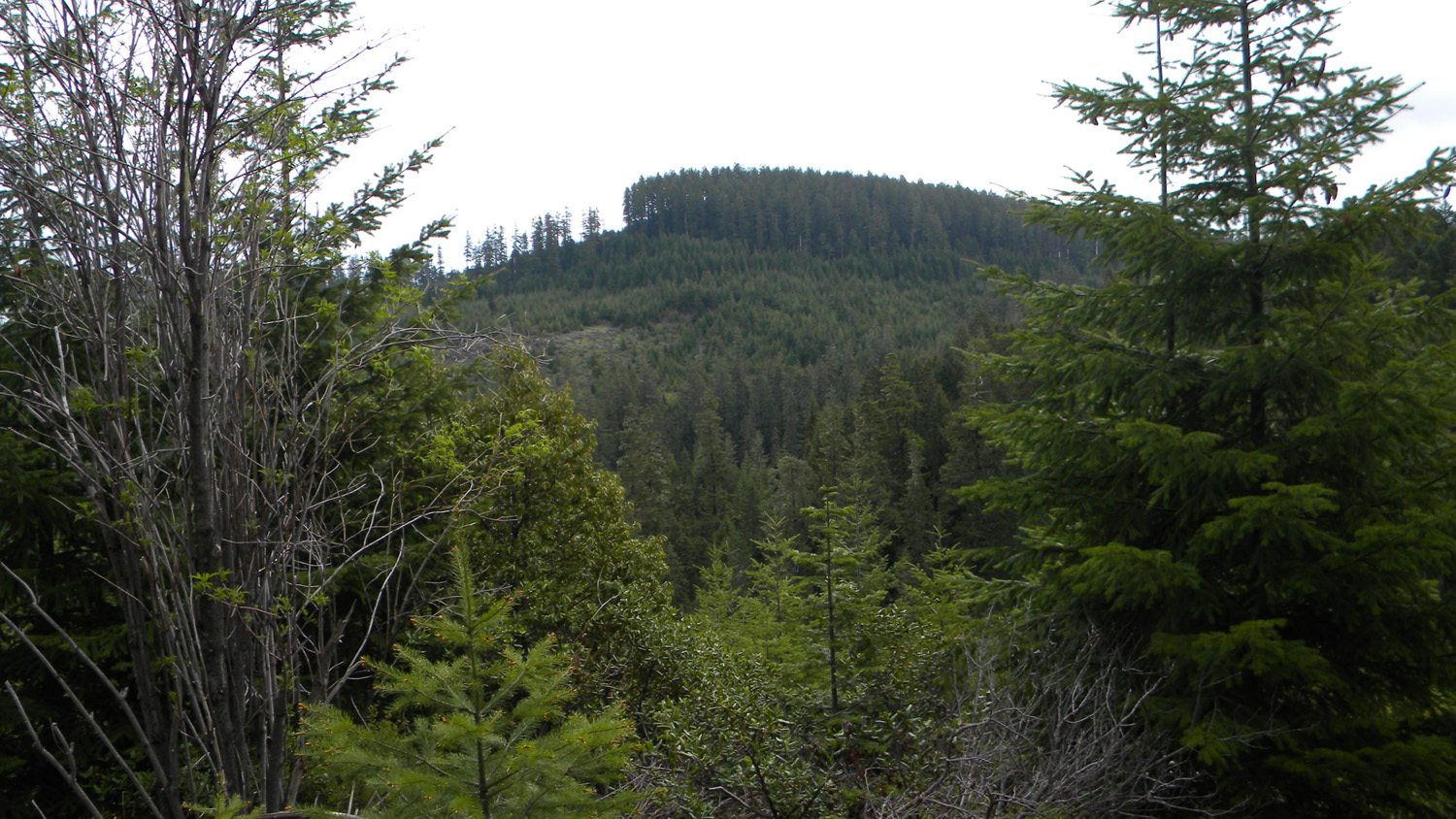
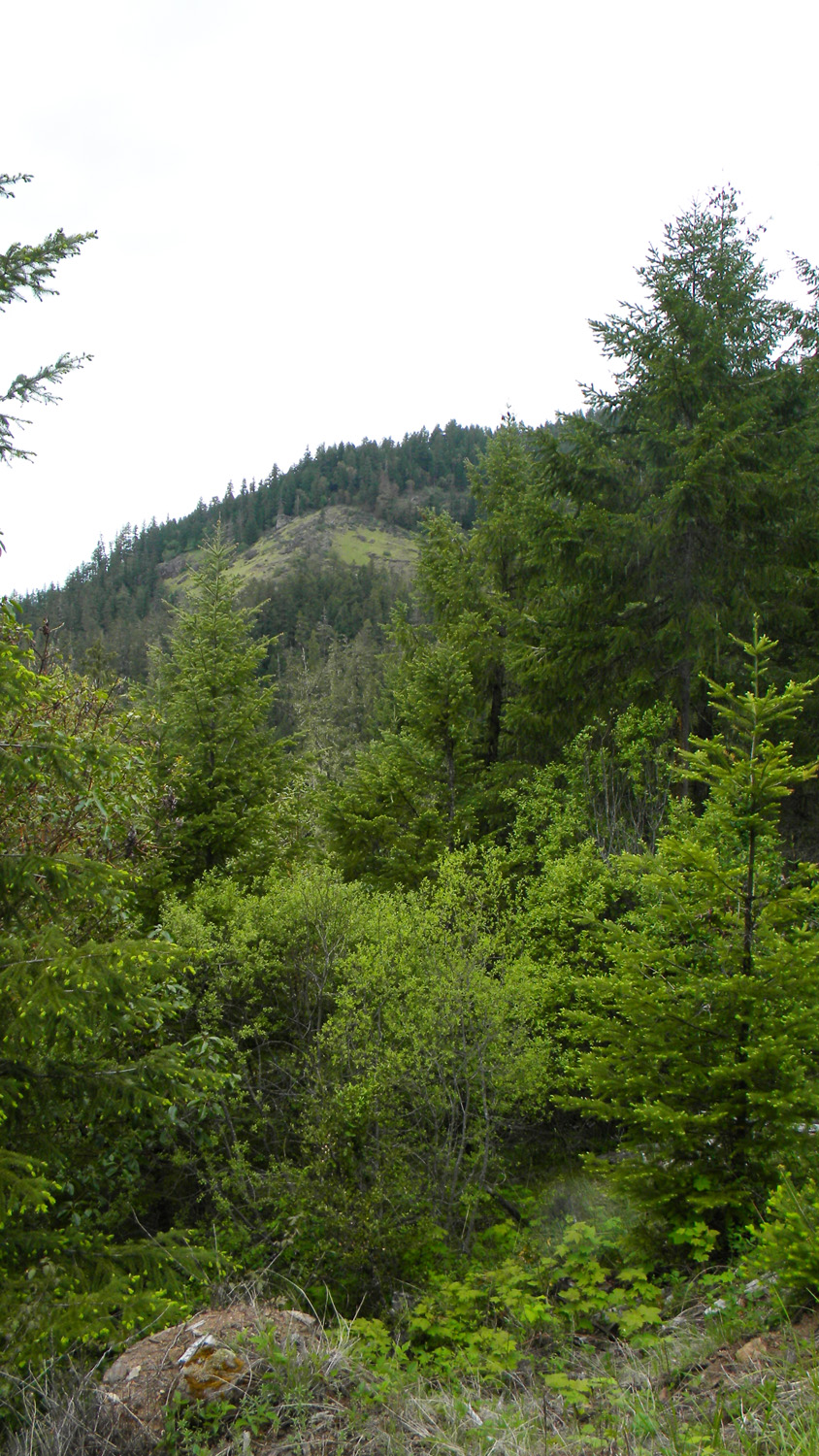
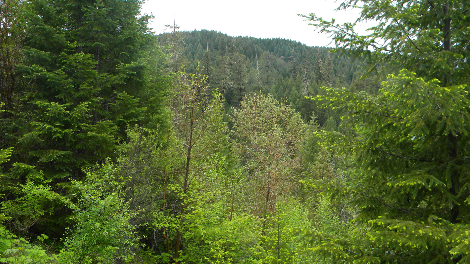
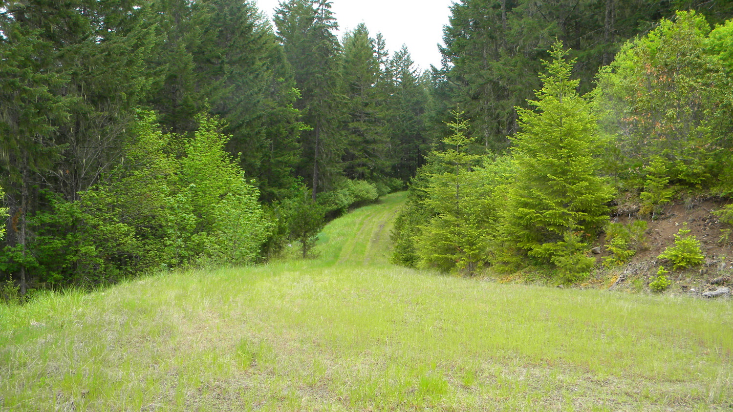
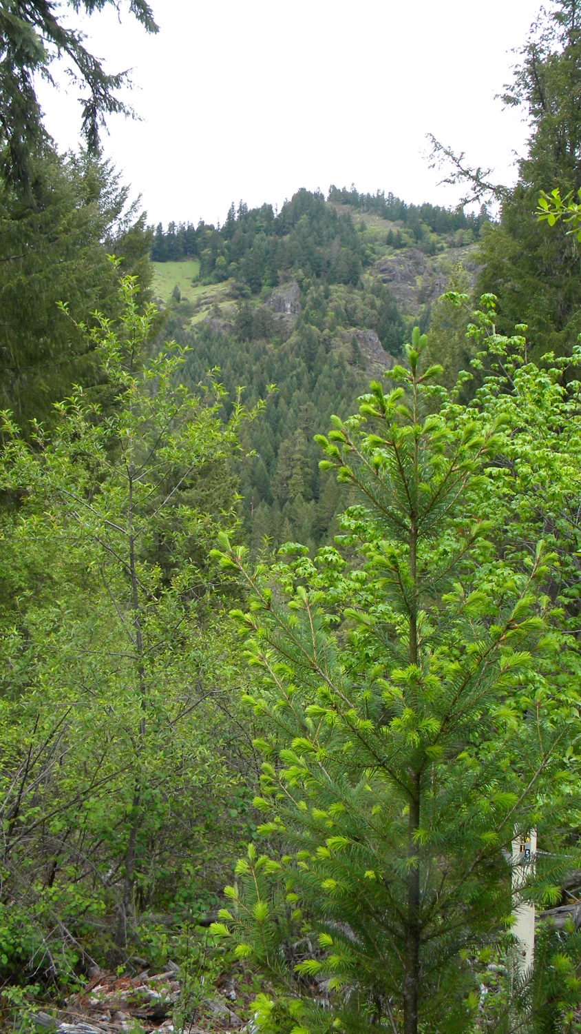
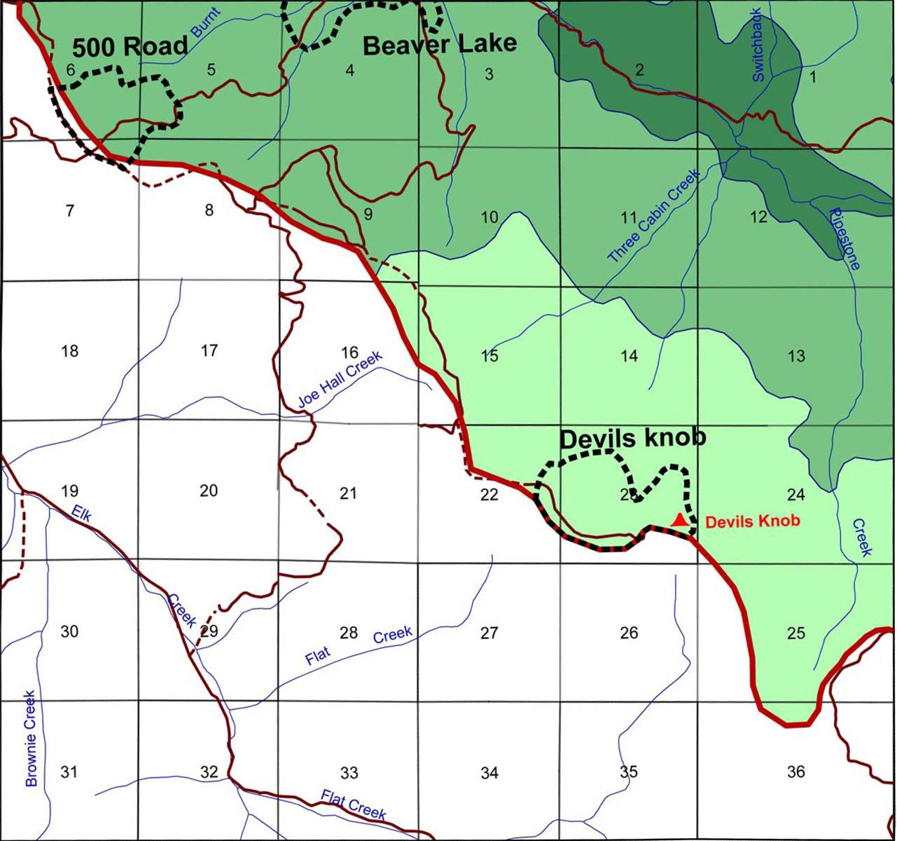
This township is partly located in the Upper South Umpqua Headwaters Precontact Reference Study in the Jackson Creek subbasin. It also contains two of the study's Areas of Special Interest: the 500 Road Area and the Devils Knob Area; which also contains the Devils Knob Lookout.
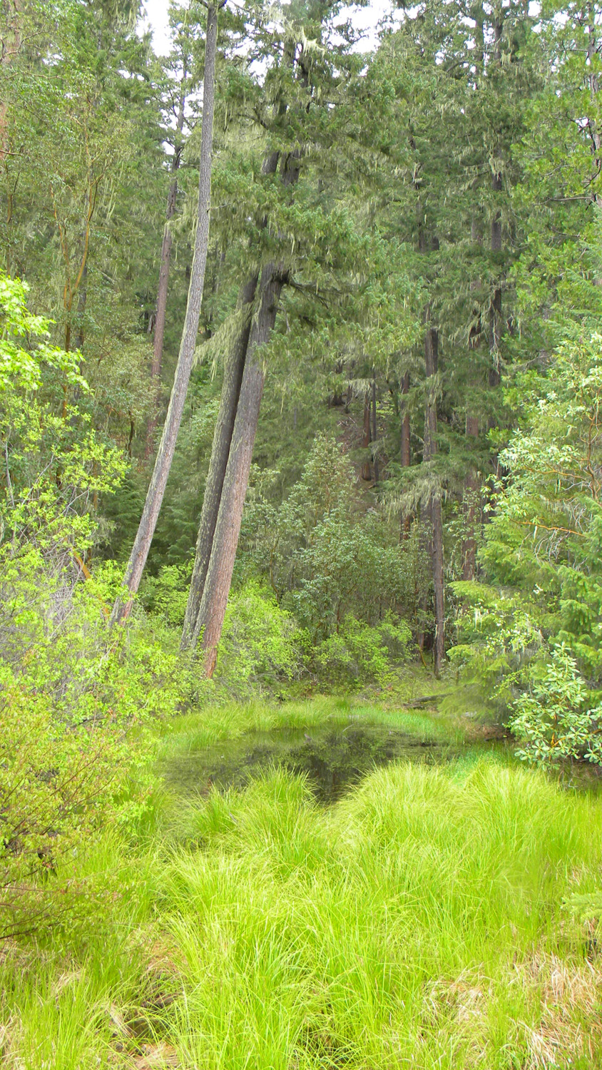
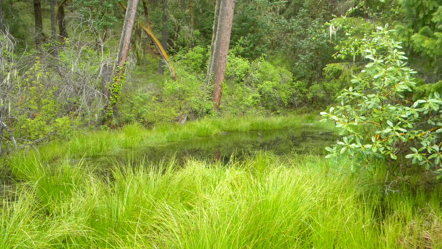
This page includes specific maps and aerial photographs of Tsp. 30 S., Rng 1 W., panoramas and QTVR video files constructed from the 2010 field research studies, and individual historical and 2010 documentary photographs showing current condtions, native plants and animals, and other points of interest related to this study area.
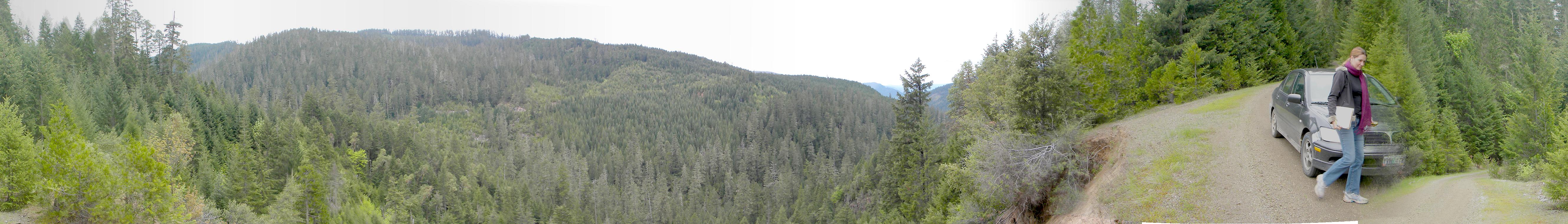
Panoramas and QTVRs
0523-0533_1610_Road-360 |
||
0534-0542_Plantation-360 |
||
3808-3816_900_Road-360 |
||
3864-3869_600_Road_View-180 |
 |
 |
 |
 |
 |
0510_Oak_Grove |
0511_395_Road |
0512_395_Road |
0513_395_Road |
0514_395_Road |
 |
 |
 |
 |
 |
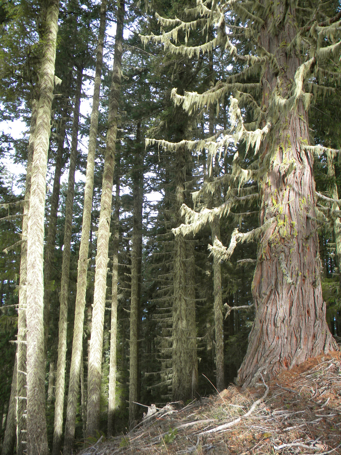
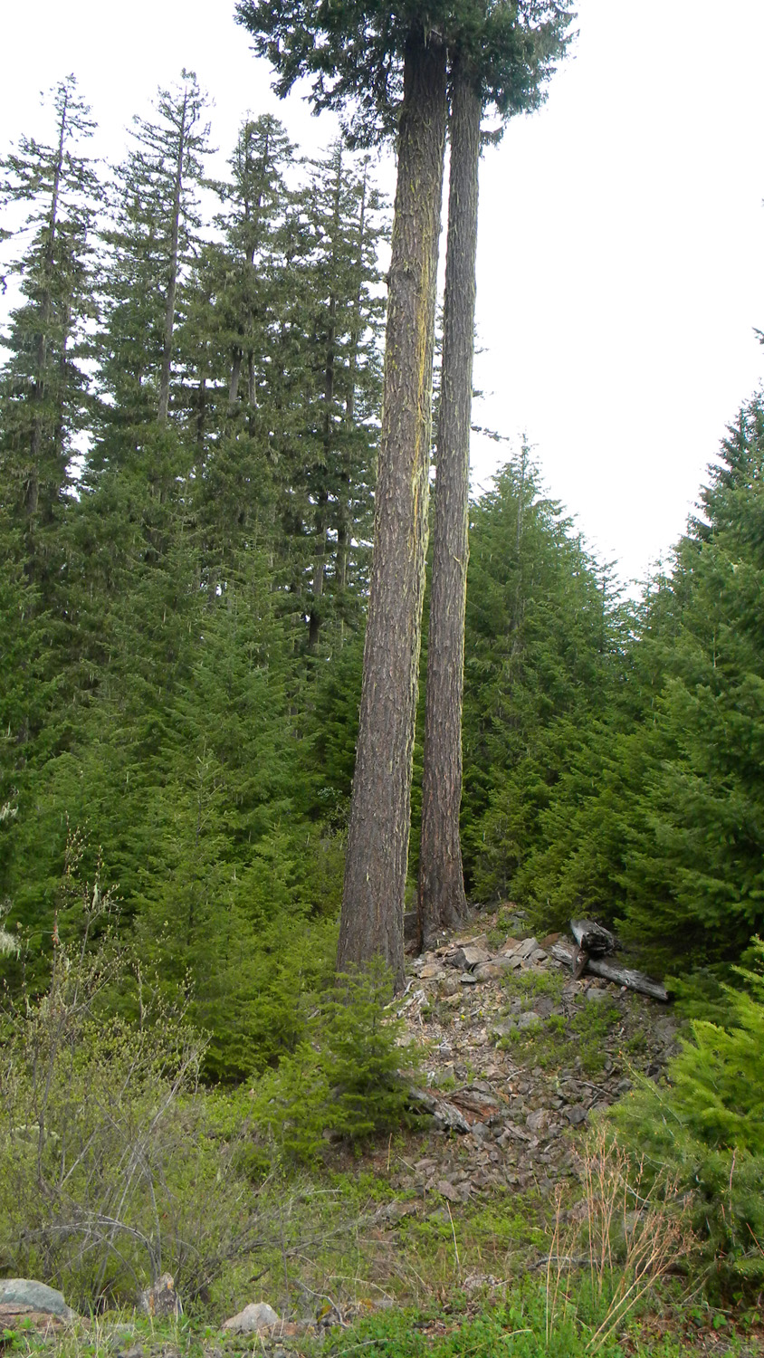
0515_OG_Cedar |
0516_OG_Cedar |
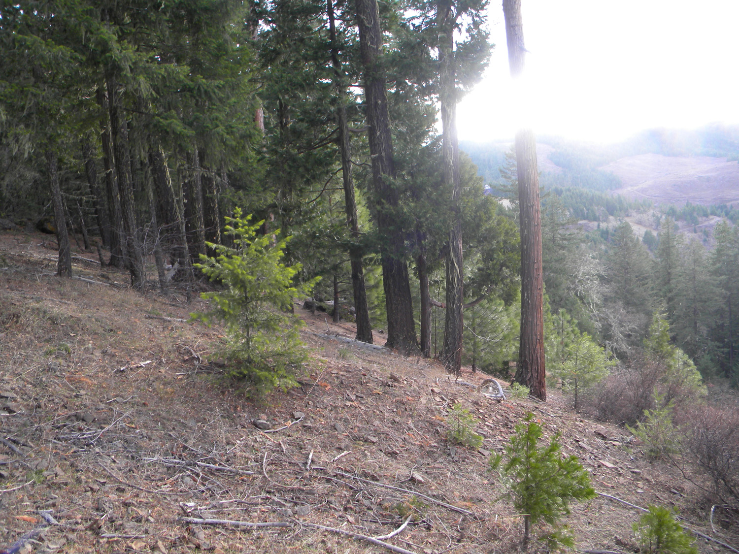
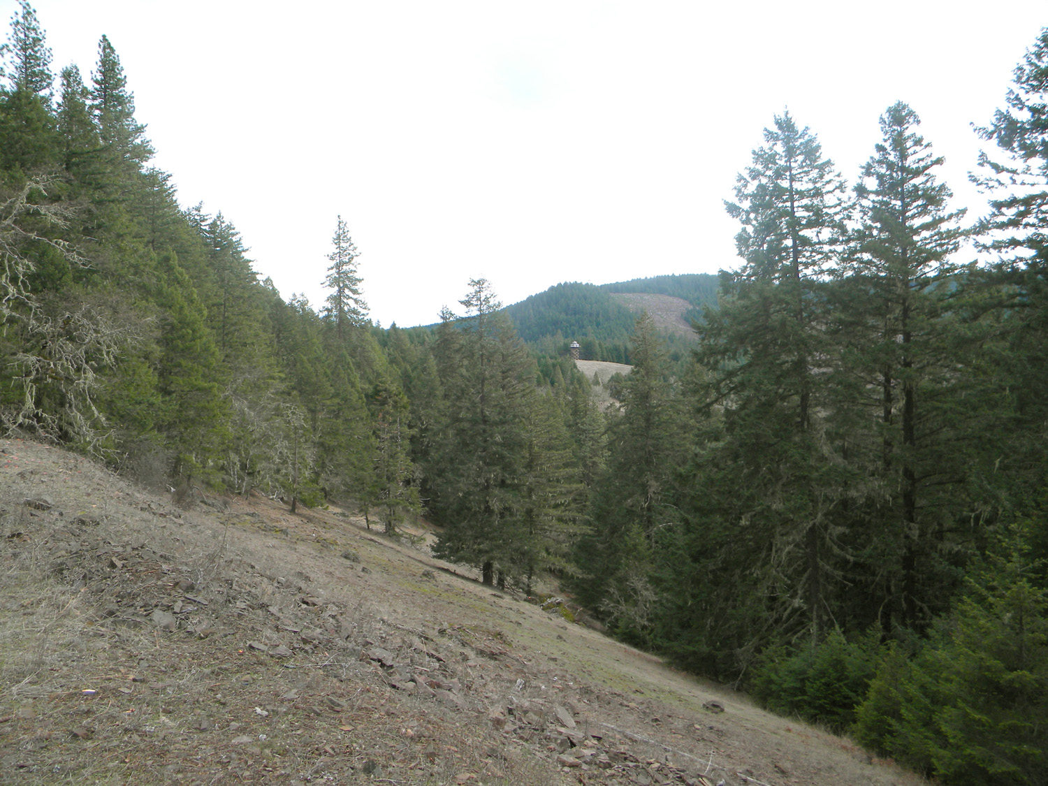
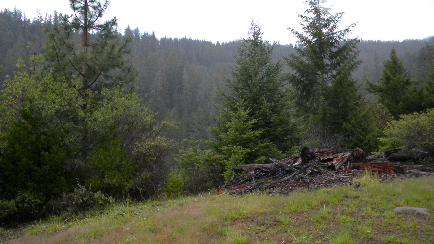
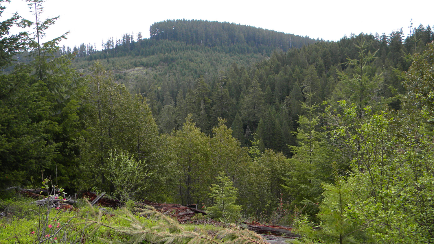
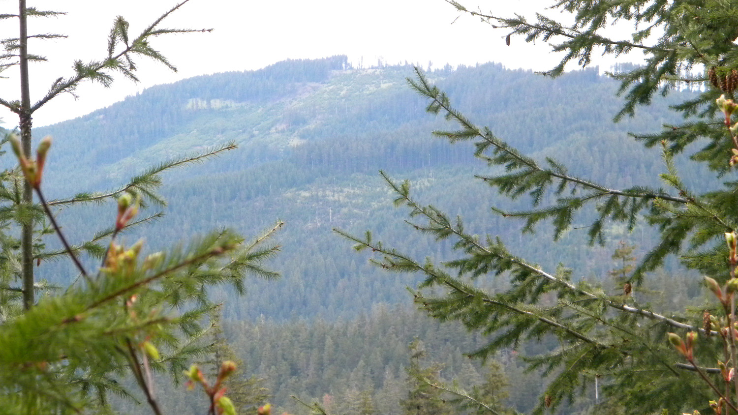
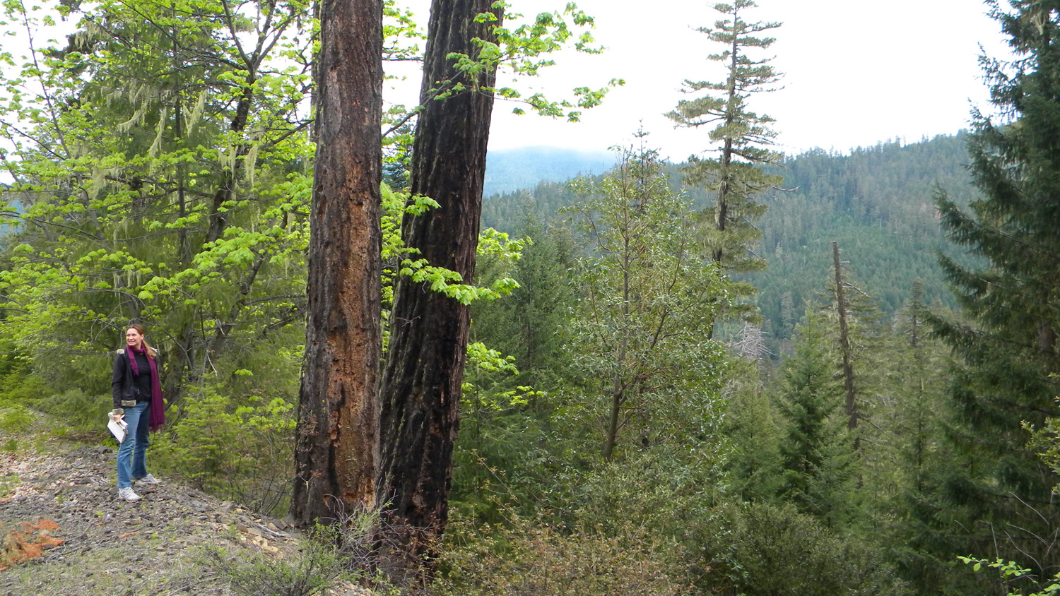
0517_Viewpoint |
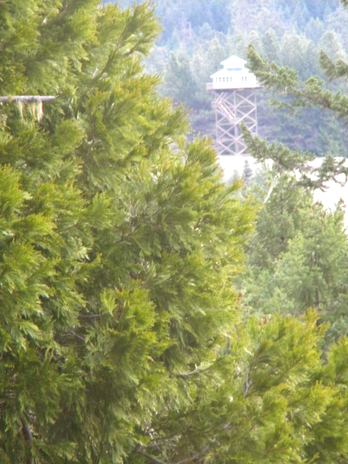
0518_Lookout |
0520_Dead_Oak |
 |
 |
 |
 |
 |
0521_395_Road_Blocked |
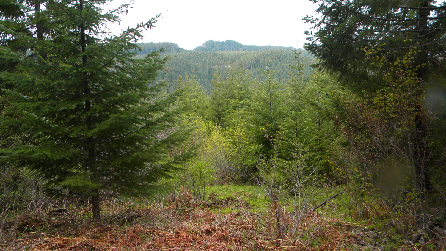
0522_Hamlin_Prarie |
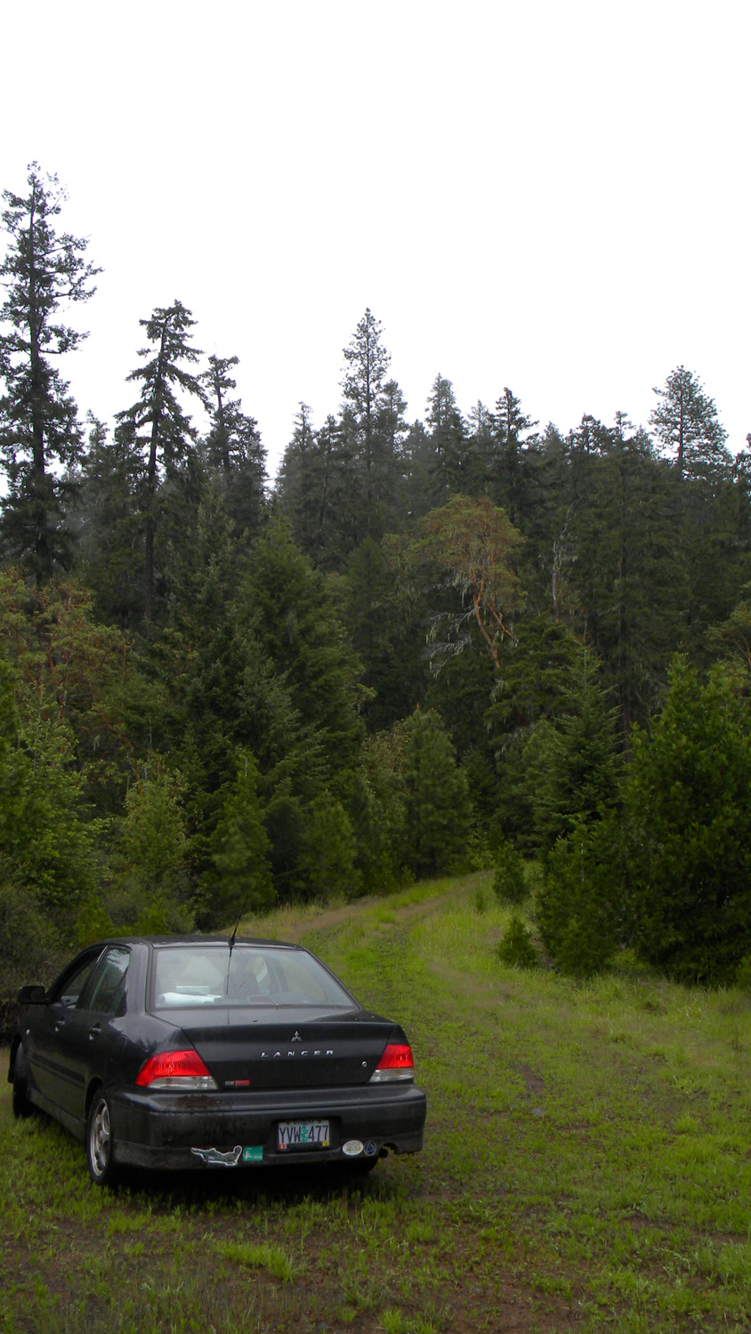
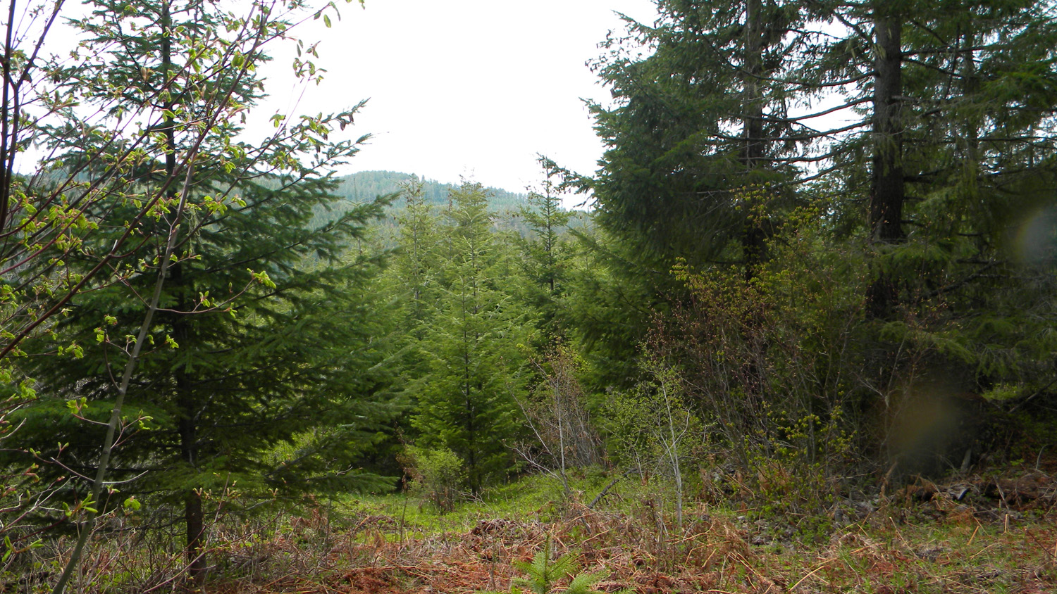
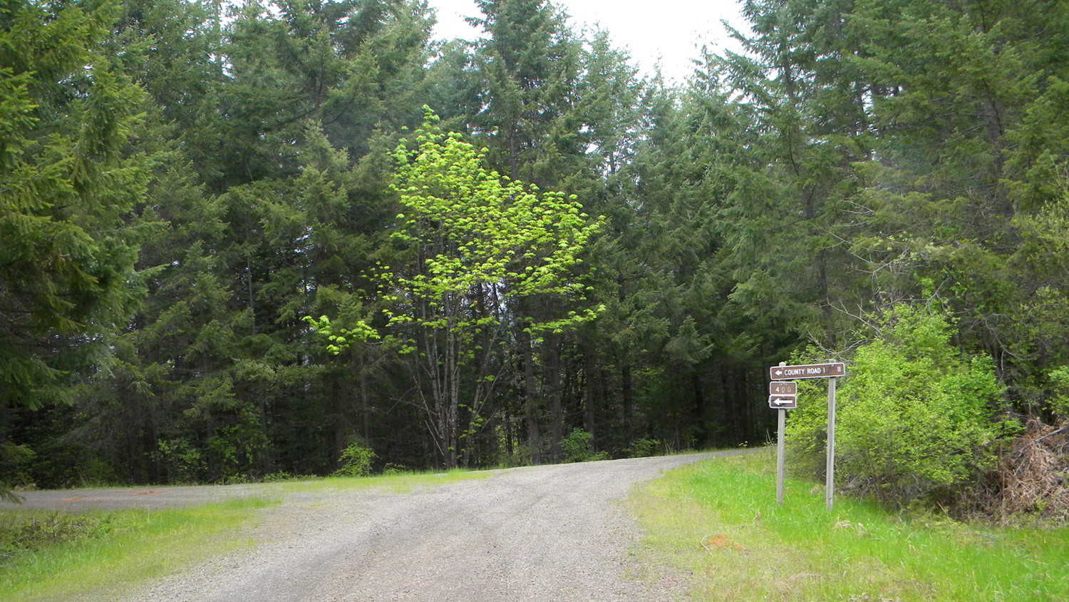
0523_1610_Road |
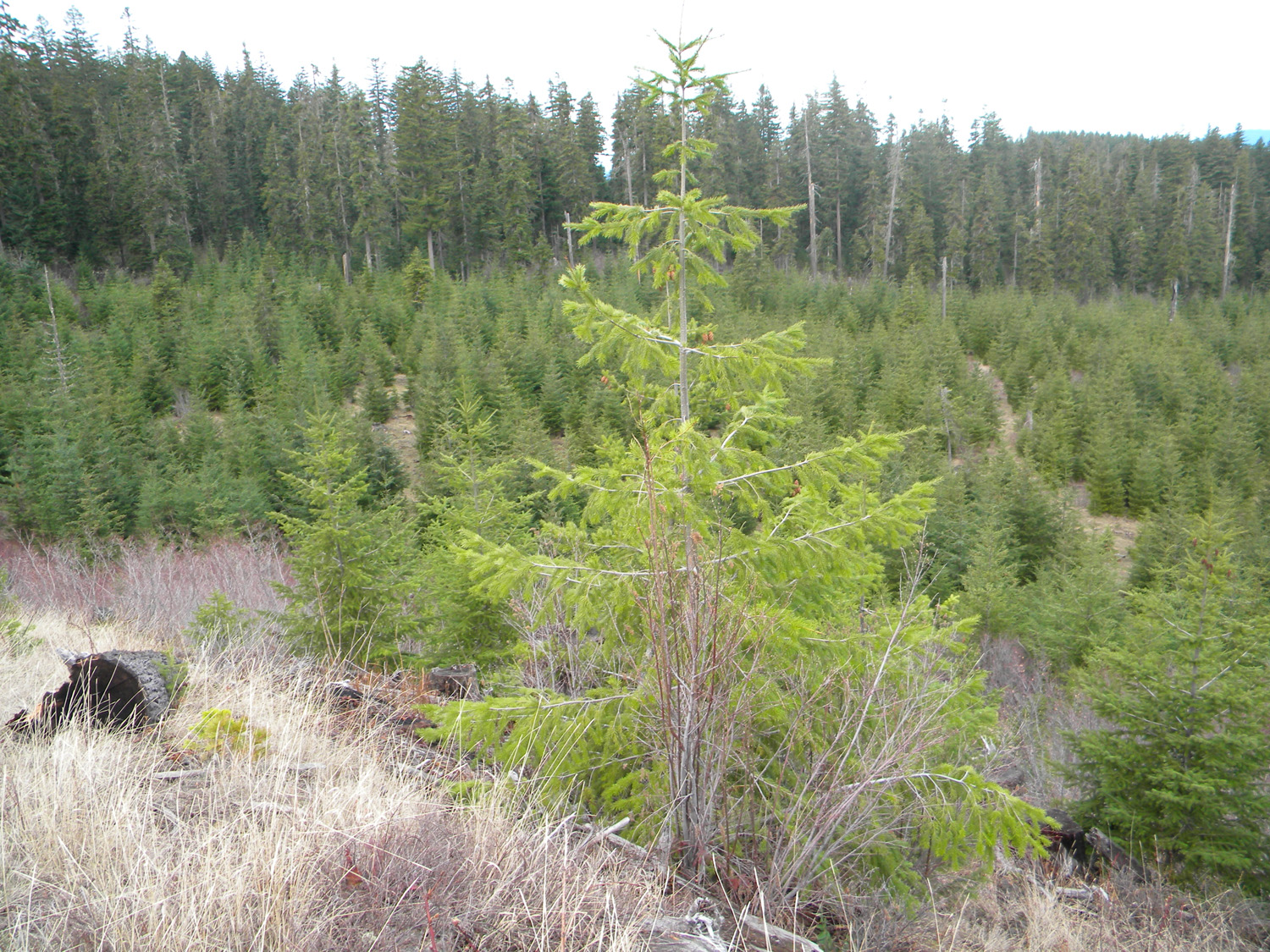
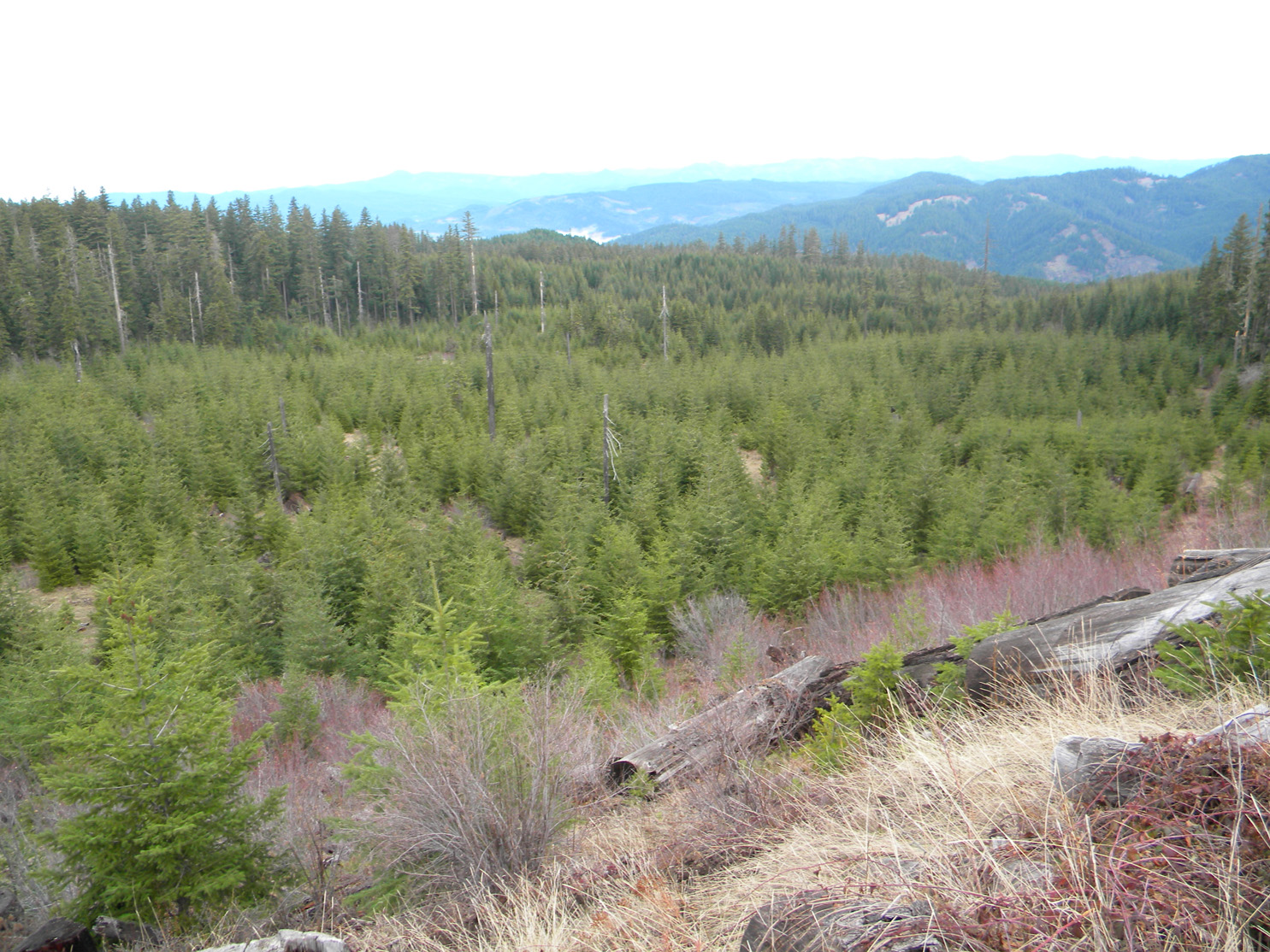
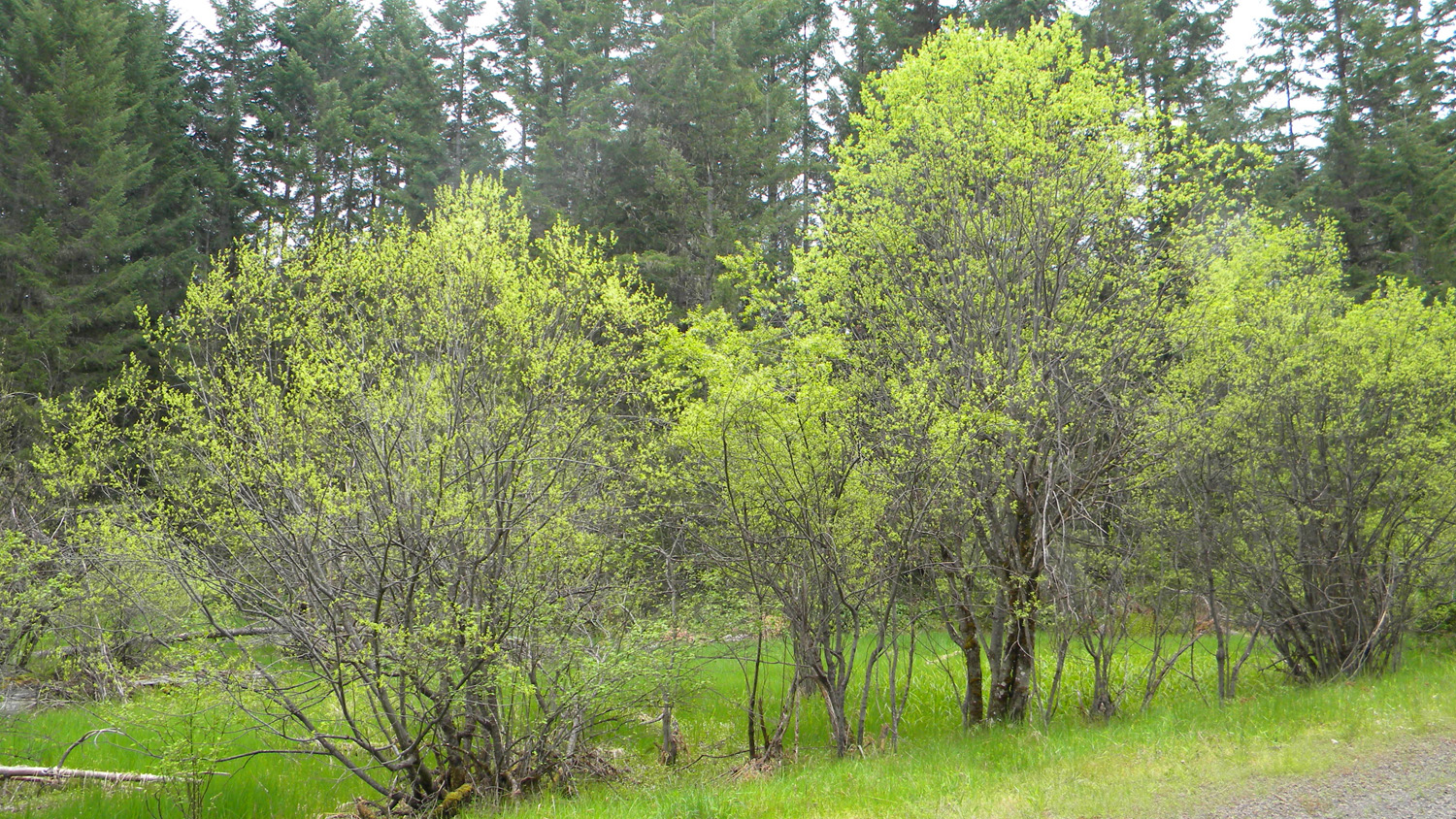
0538_Meadow_Plantation |
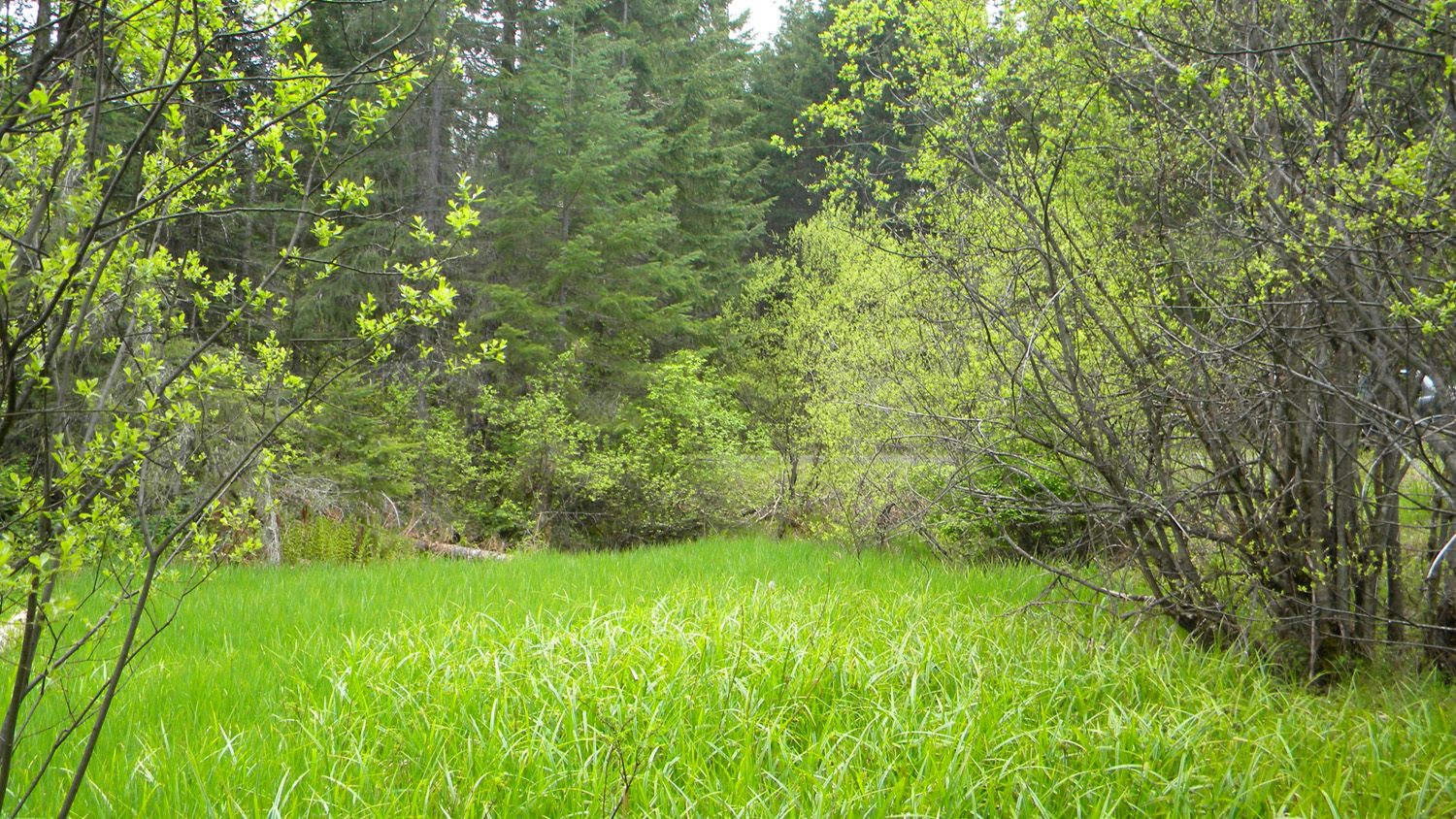
0543_Meadow_Plantation |
 |
 |
 |
 |
 |
0544_Meadow_Plantation |
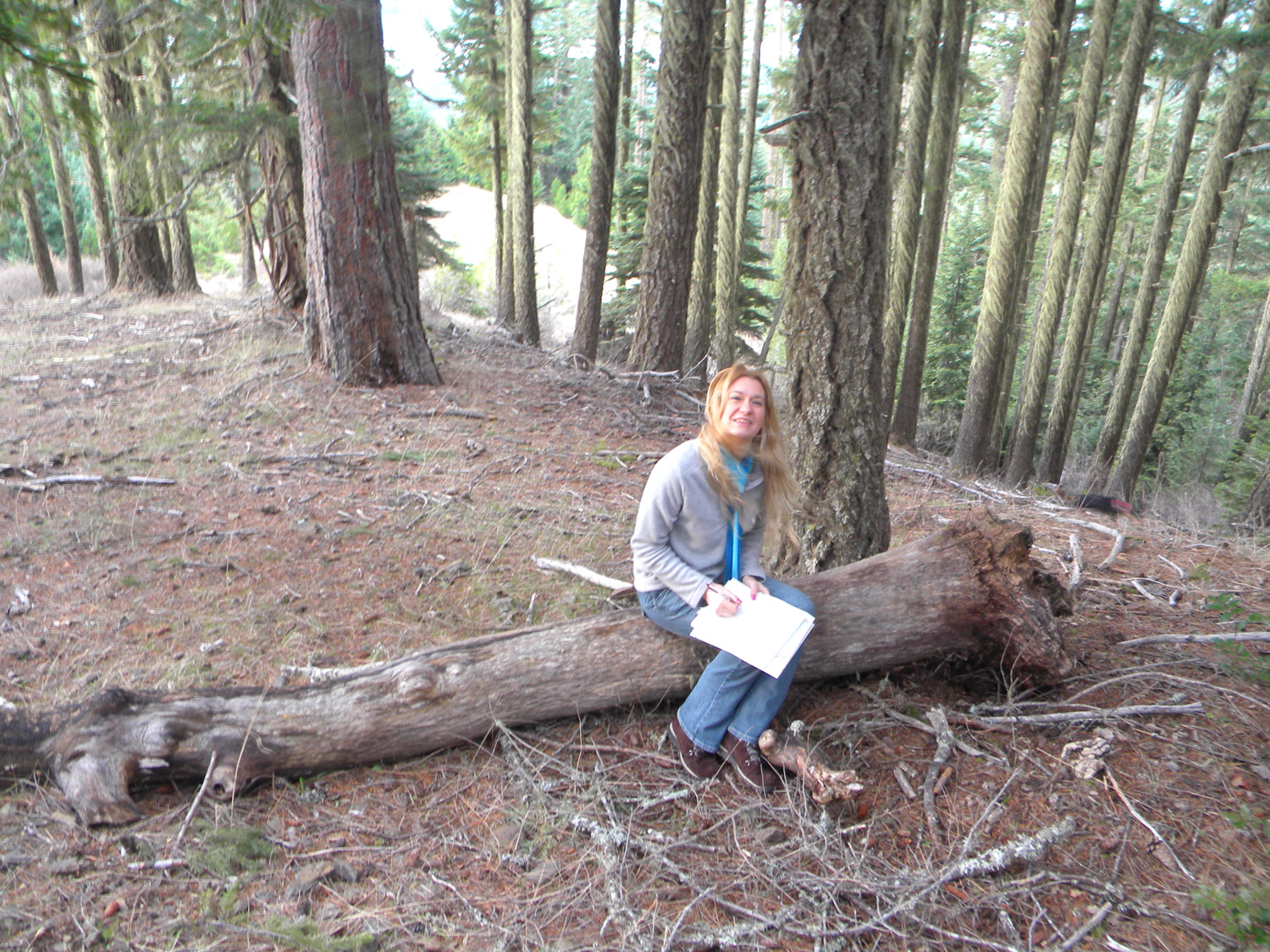
0598_Private_Lookout |
0599_Private_Lookout |
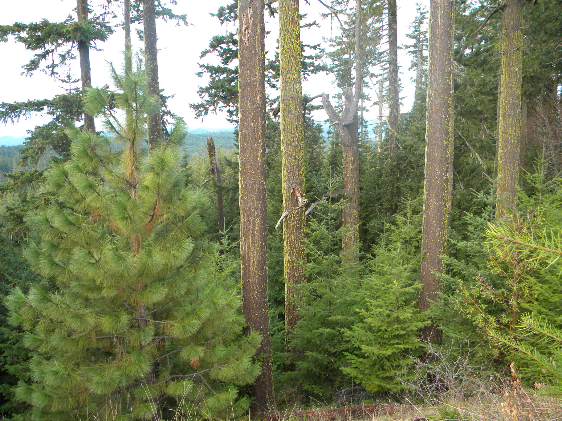
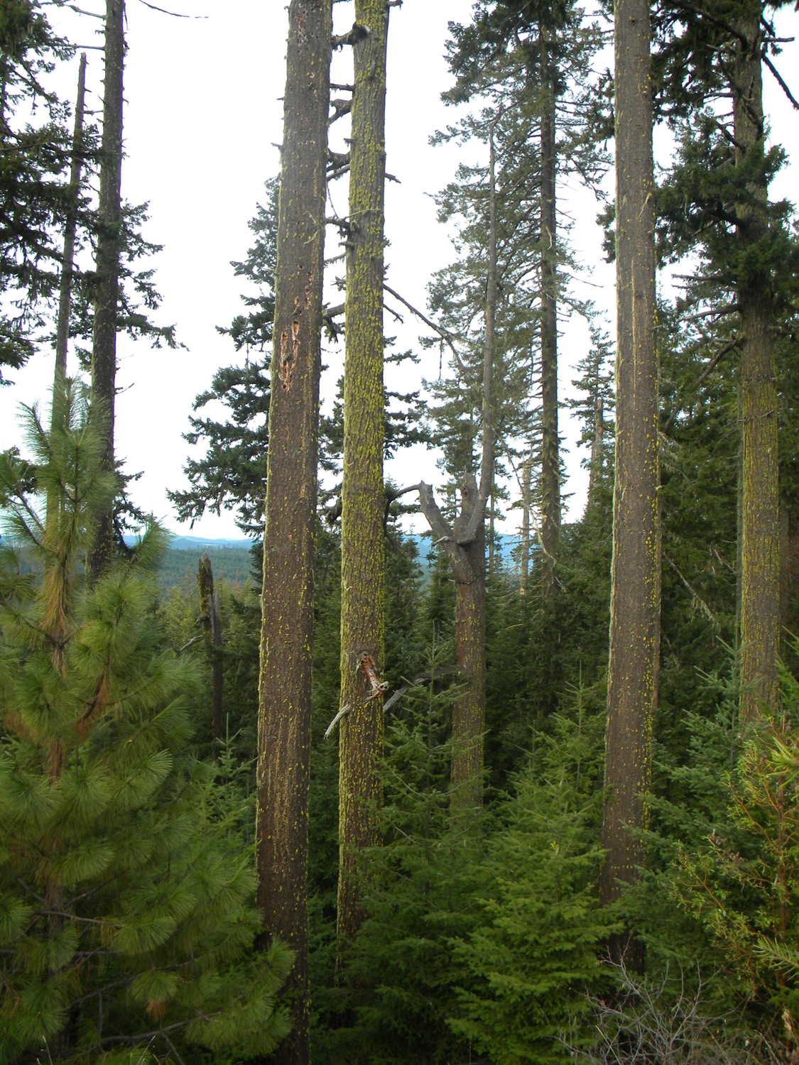
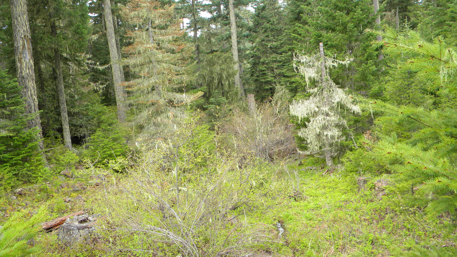
0600_Old_Growth |
0601_Old_Growth |
 |
 |
 |
 |
 |
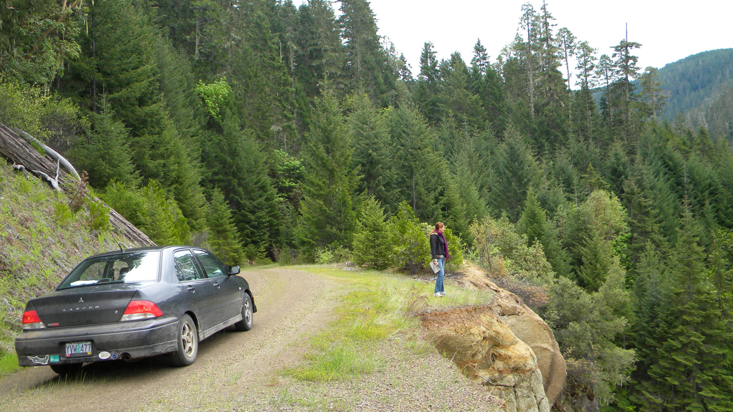
3563_451_Road |
3564_451_Road_End |
3565_451_Road_End |
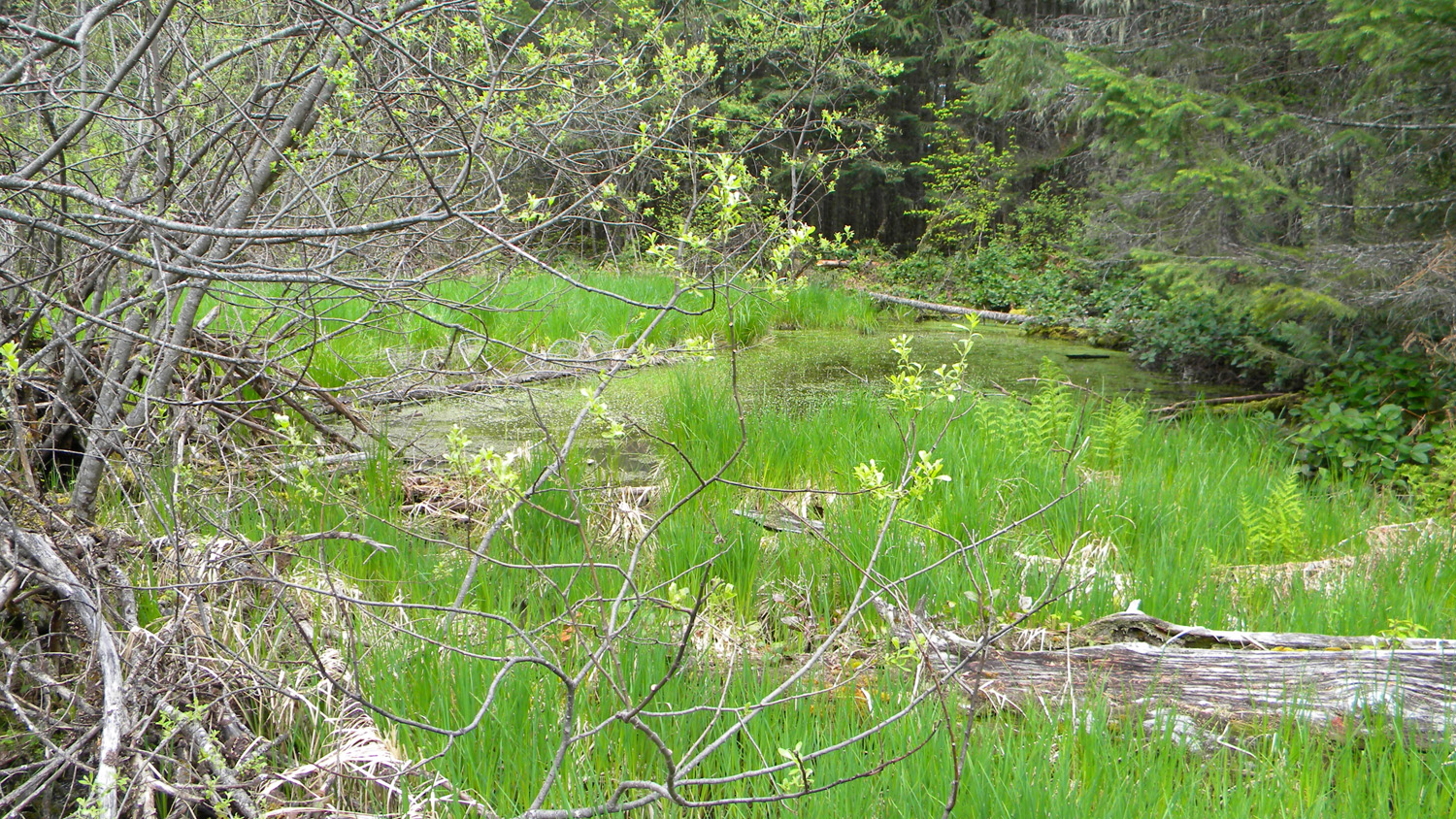
3566_451_Road_Pond |
3567_451_Road_Pond |
 |
 |
 |
 |
 |
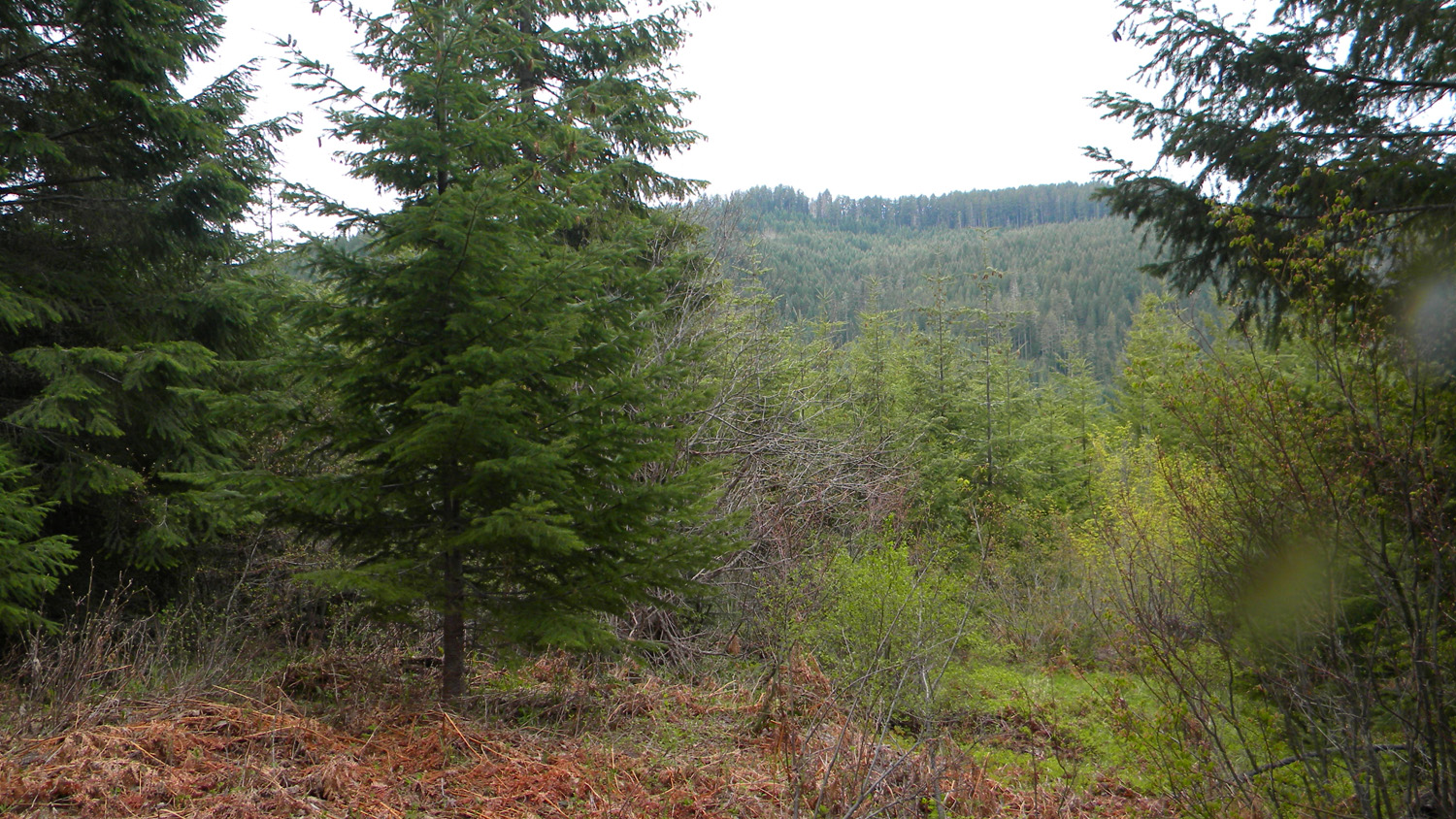
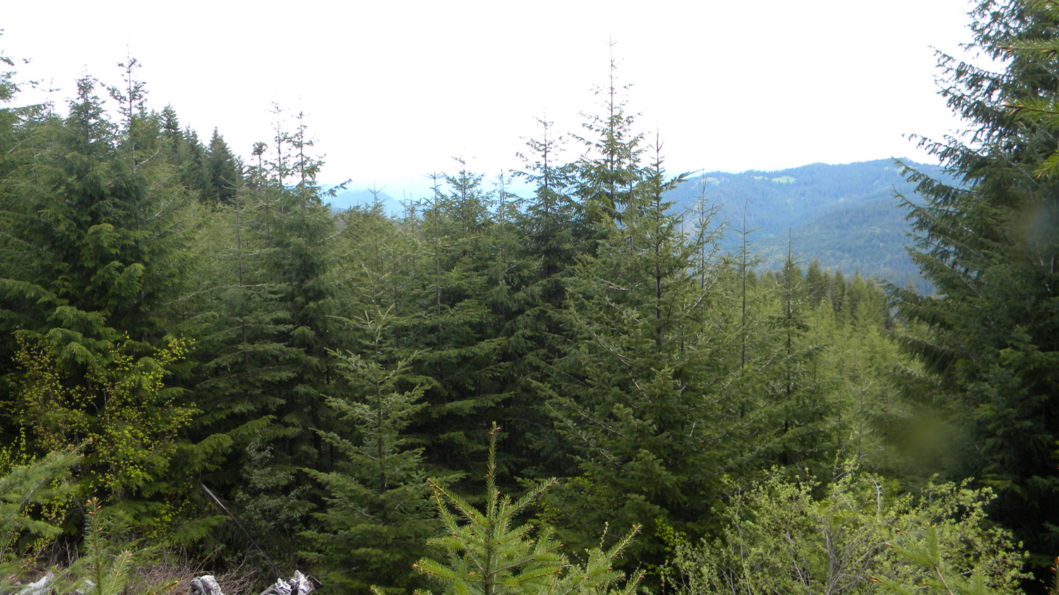
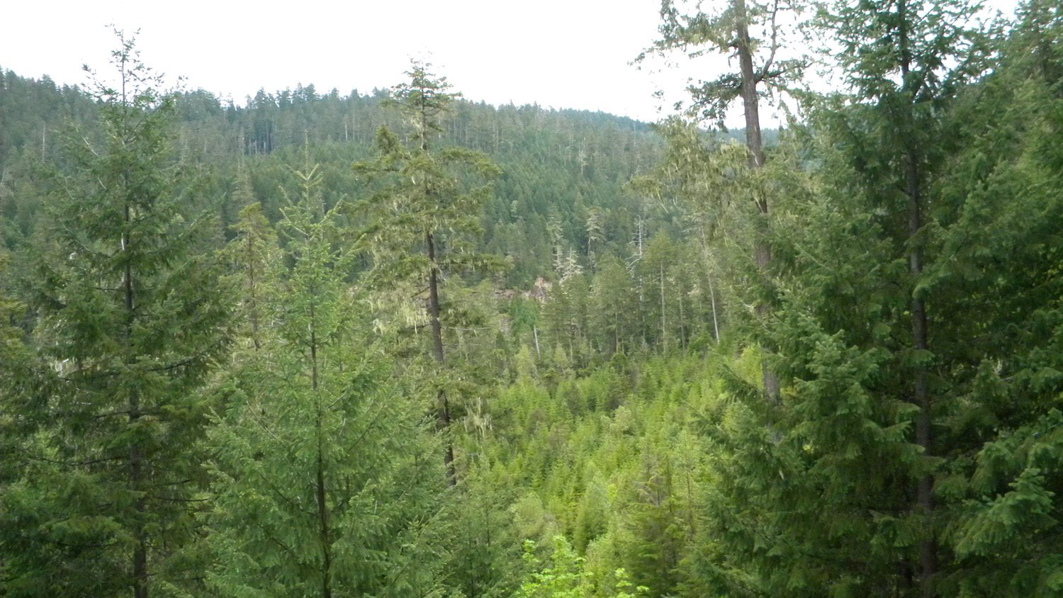
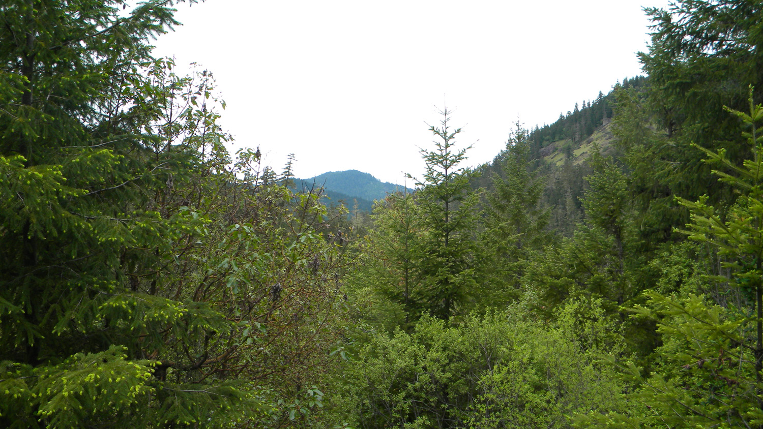
3801_3100_Road_View |
3802_3100_Road_View |
3803_3100_Road_View |
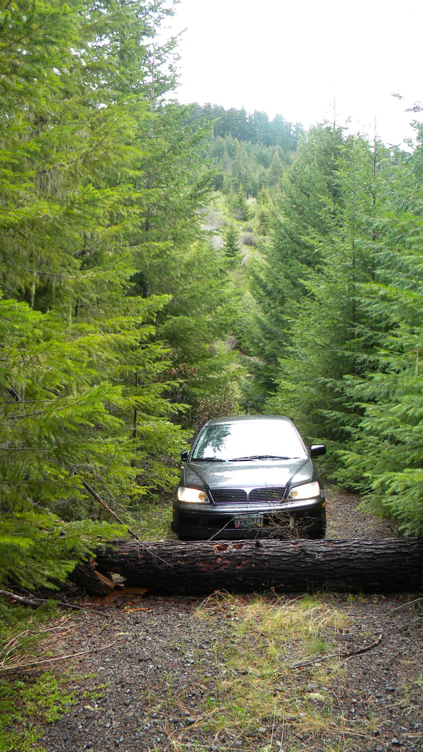
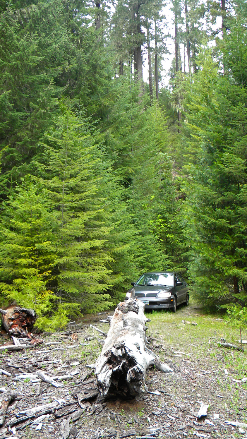
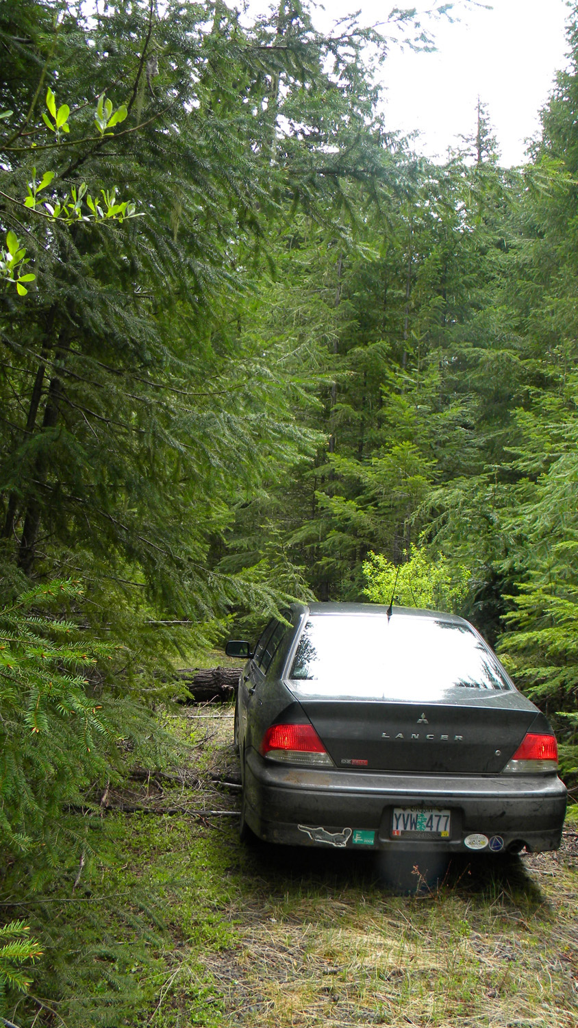
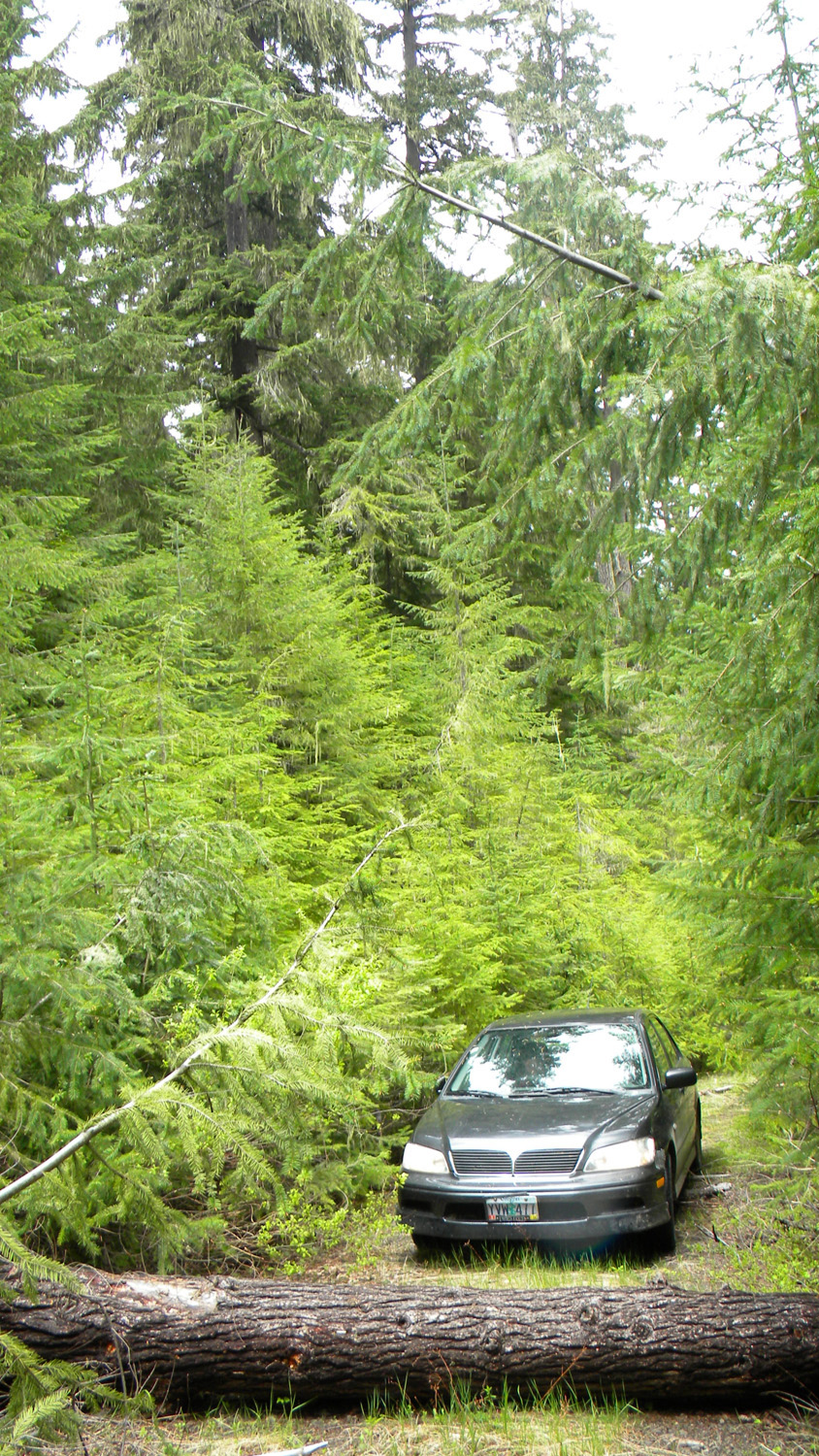
3804_900_Road_Blocked |
3805_991_Road_End |
 |
 |
 |
 |
 |
3806_991_Road_End |
3807_991_Road_End |
3810_900_Road_Meadow |
3817_2925_Road |
3818_2925_Road_Trees |
 |
 |
 |
 |
 |
3819_2925_Road_Trees |
3820_2925_Road_Trees |
3821_2925_Road_View |
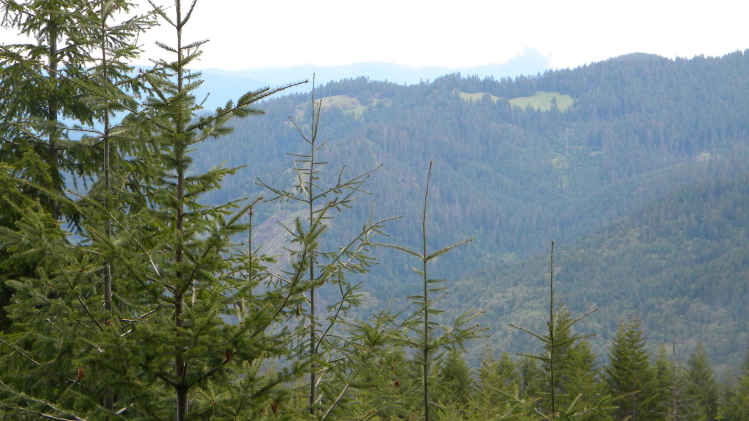
3822_2925_Road_View |
3823_2925_Road_View |
 |
 |
 |
 |
 |
3824_2925_Road_View |
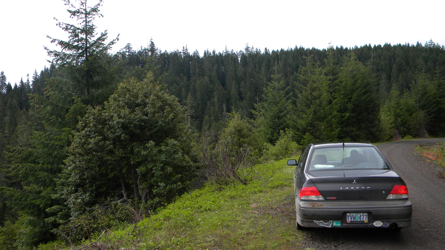
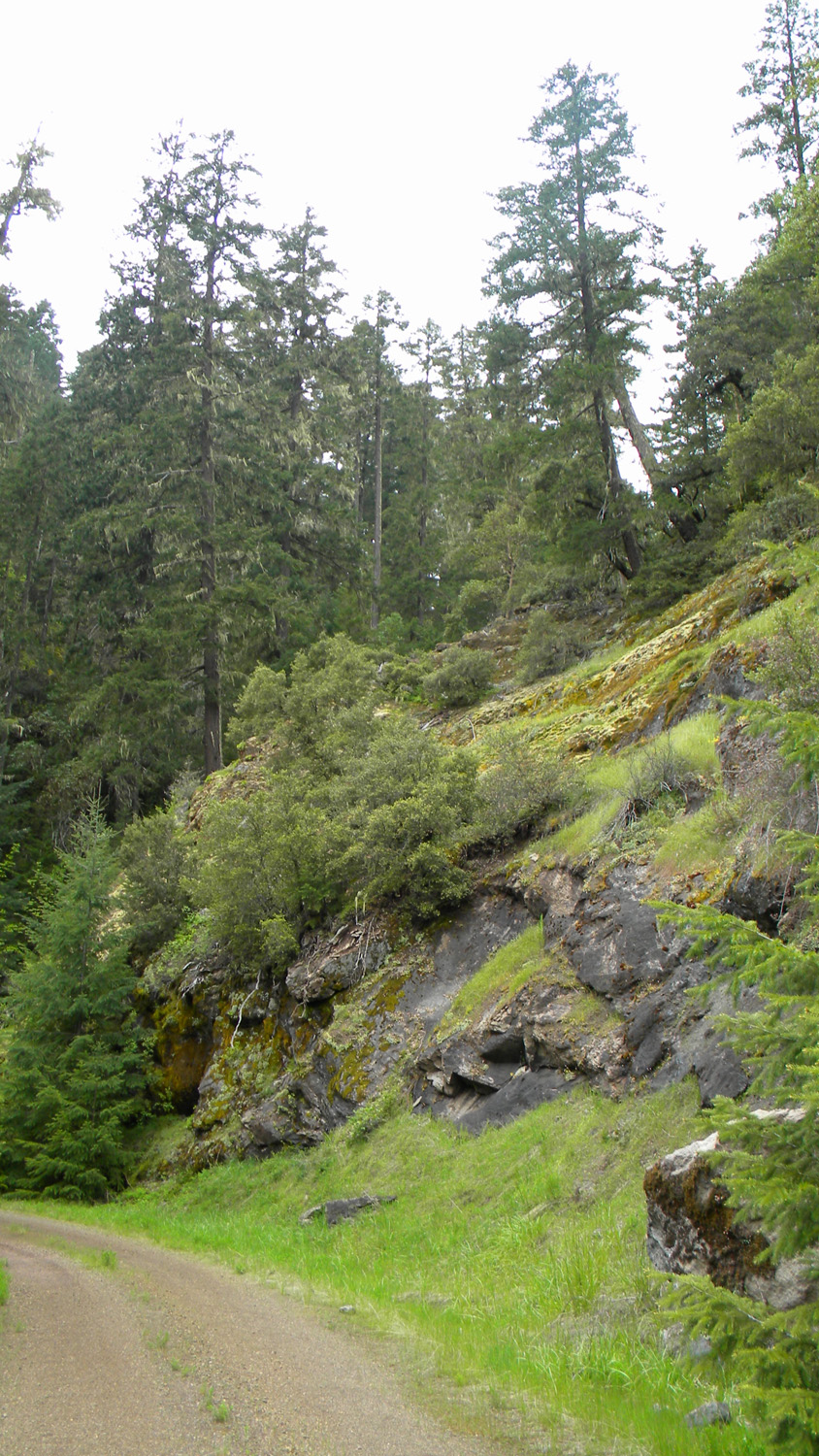
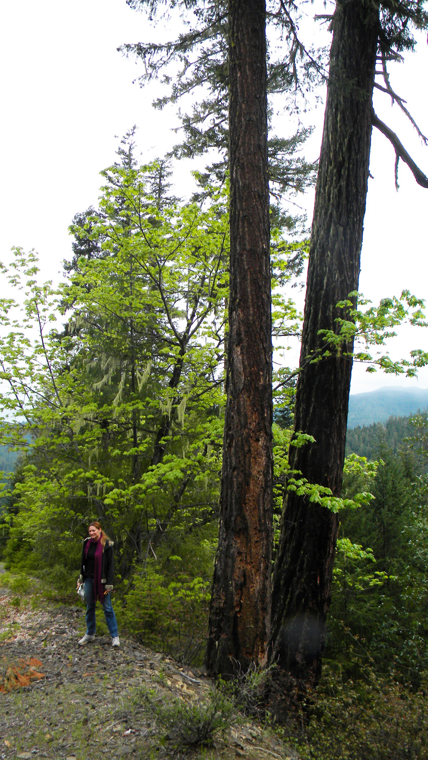
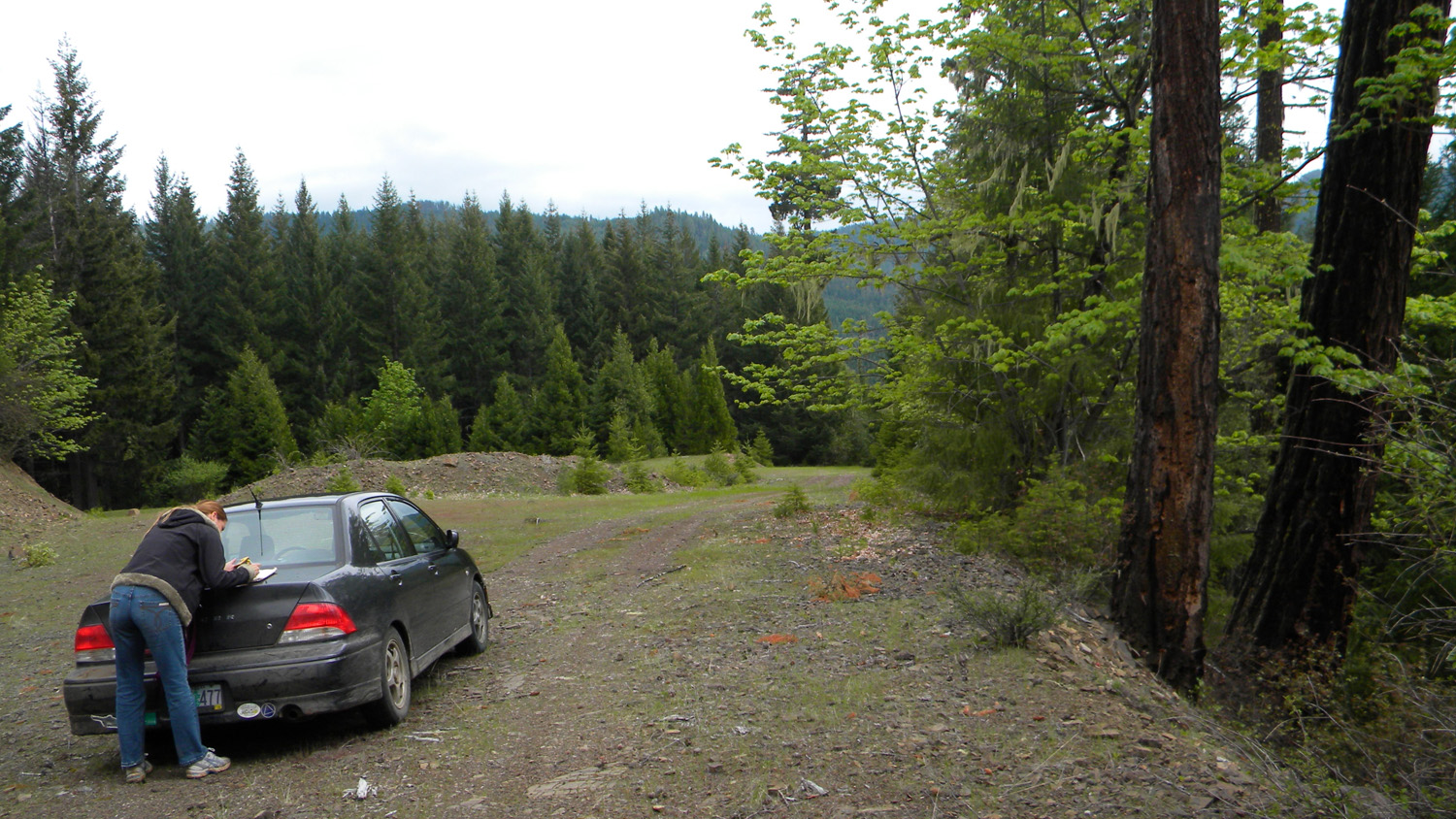
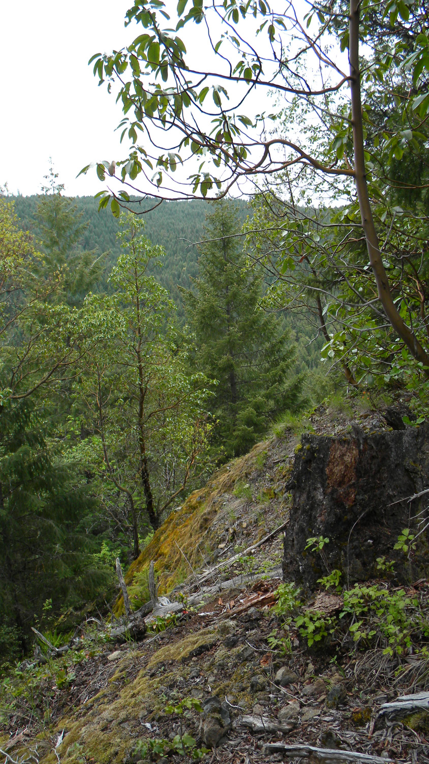
3862_600_Road |
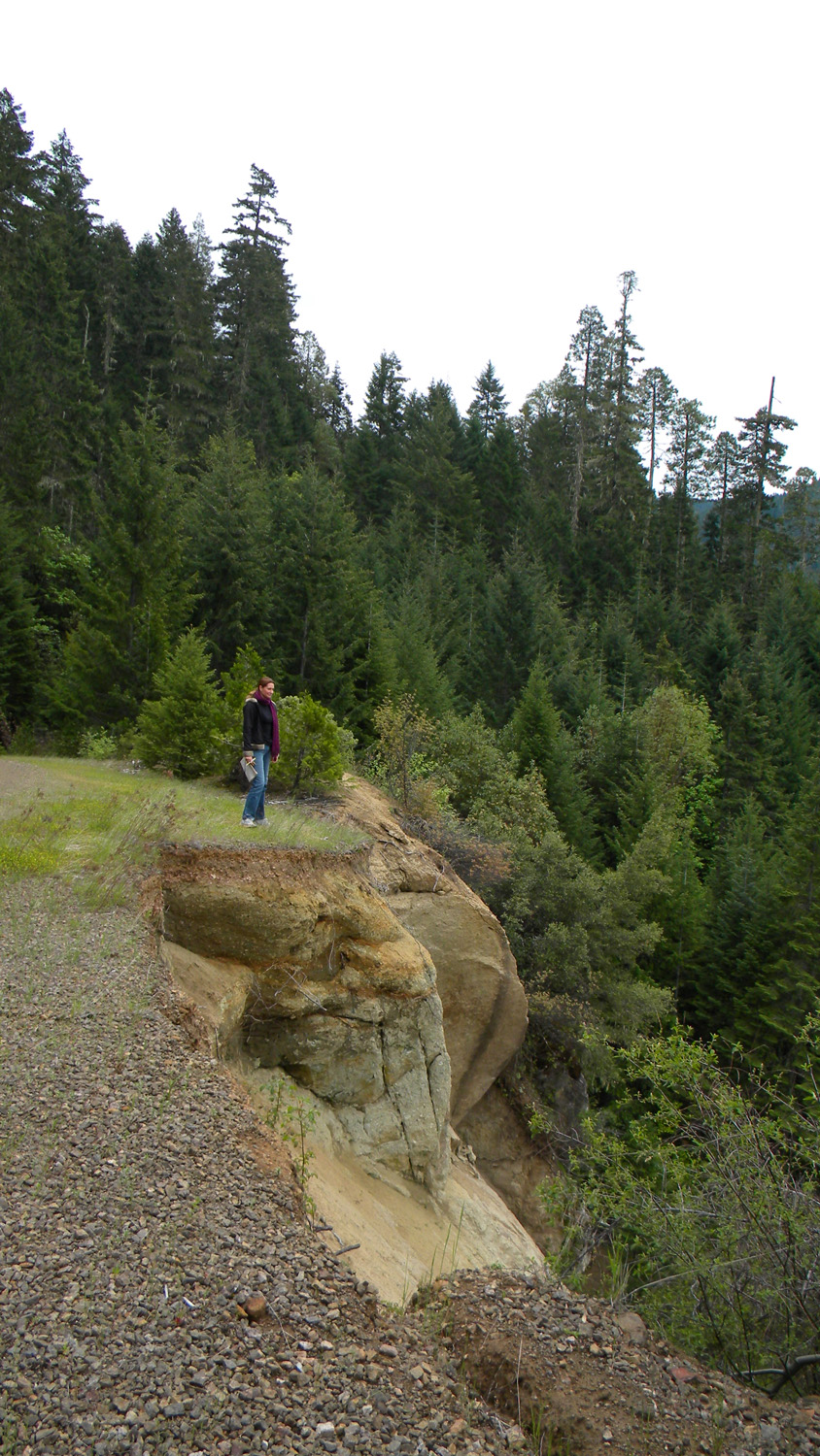
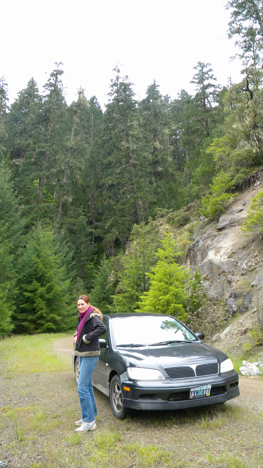
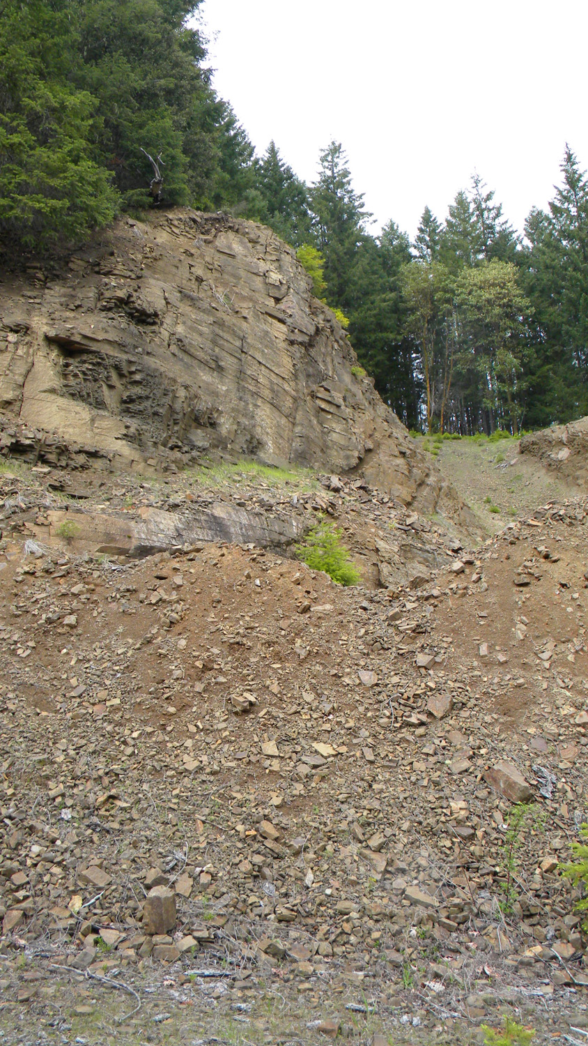
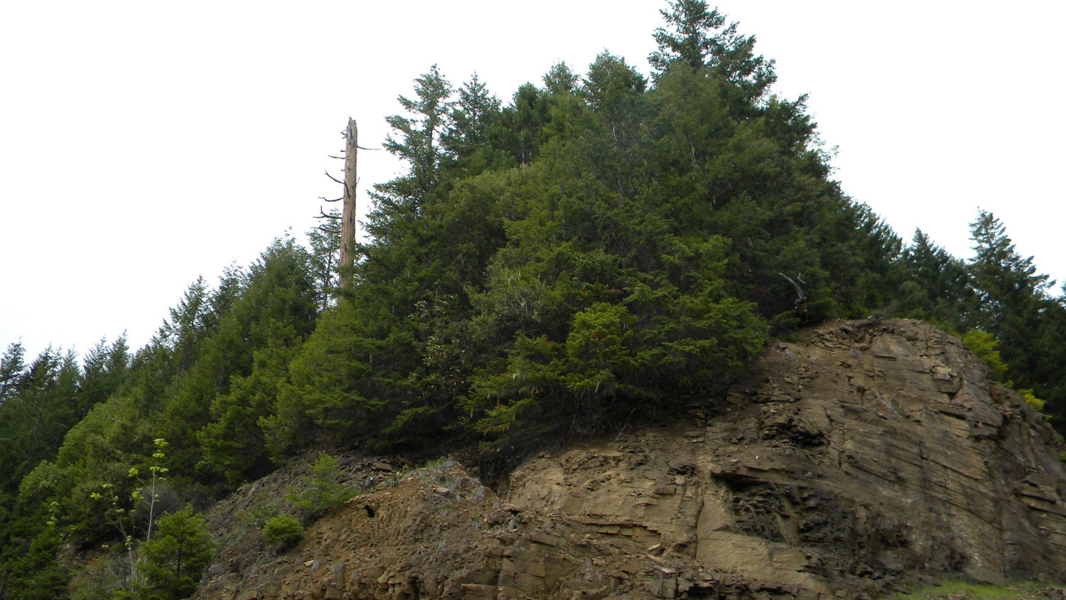
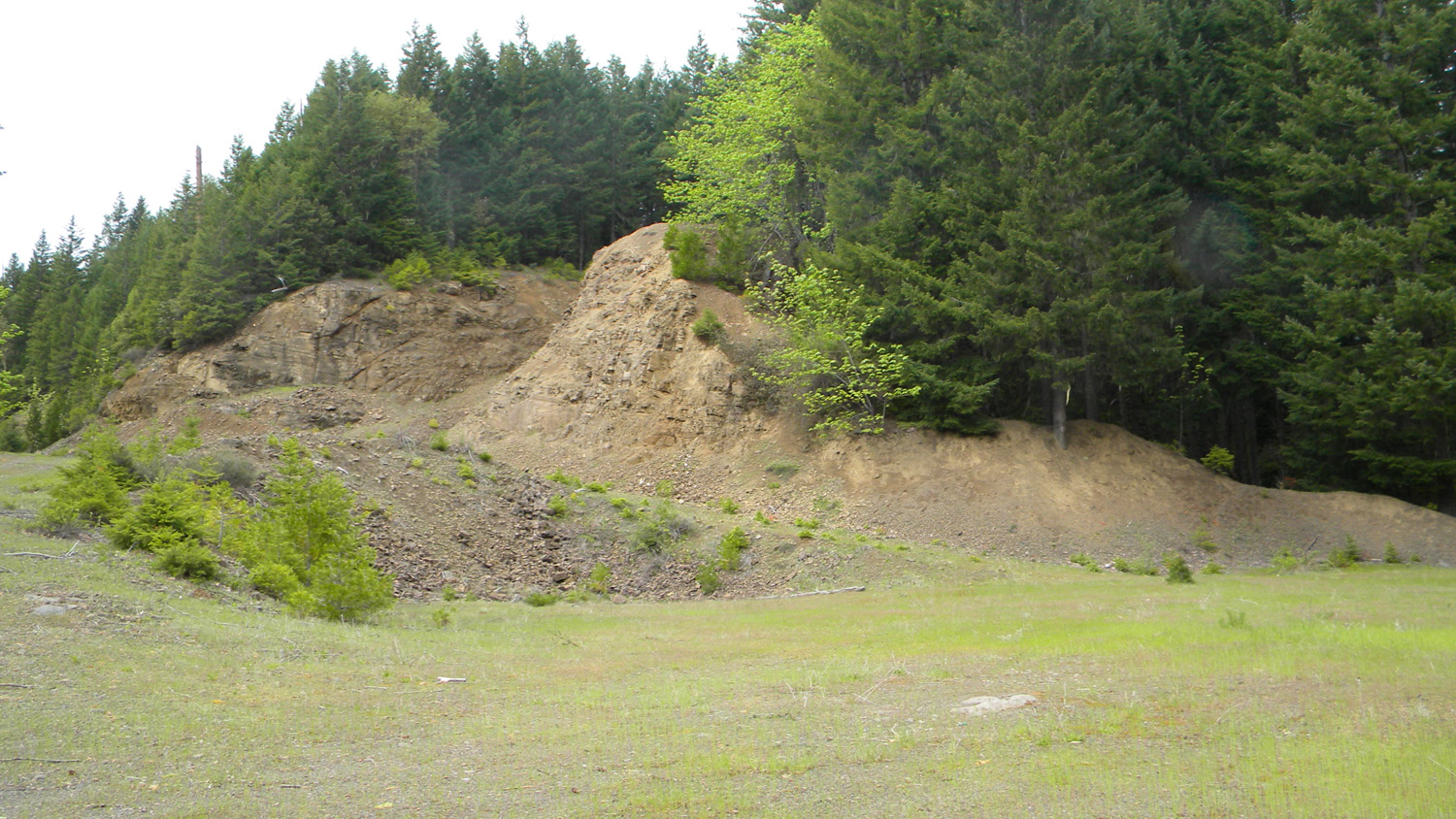
3863_600_Road_Rock |
3870_600_Road |
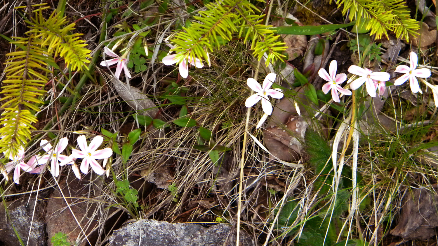
3871_Brodiea |
 |
 |
 |
 |
 |
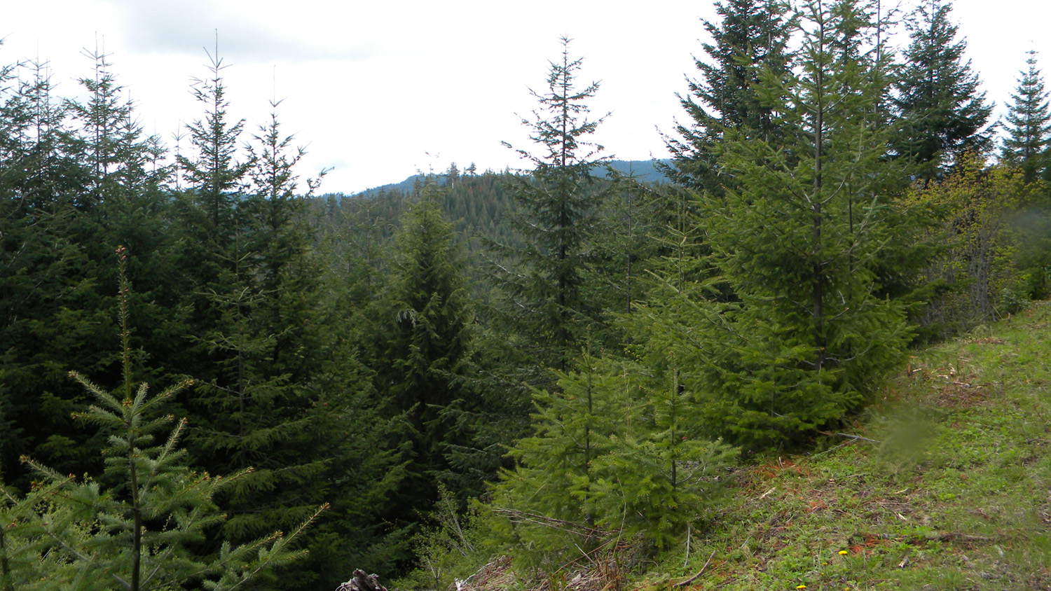
3872_600_Road_View |
3873_600_Road |
3874_600_Road_View |
3875_600_Road |
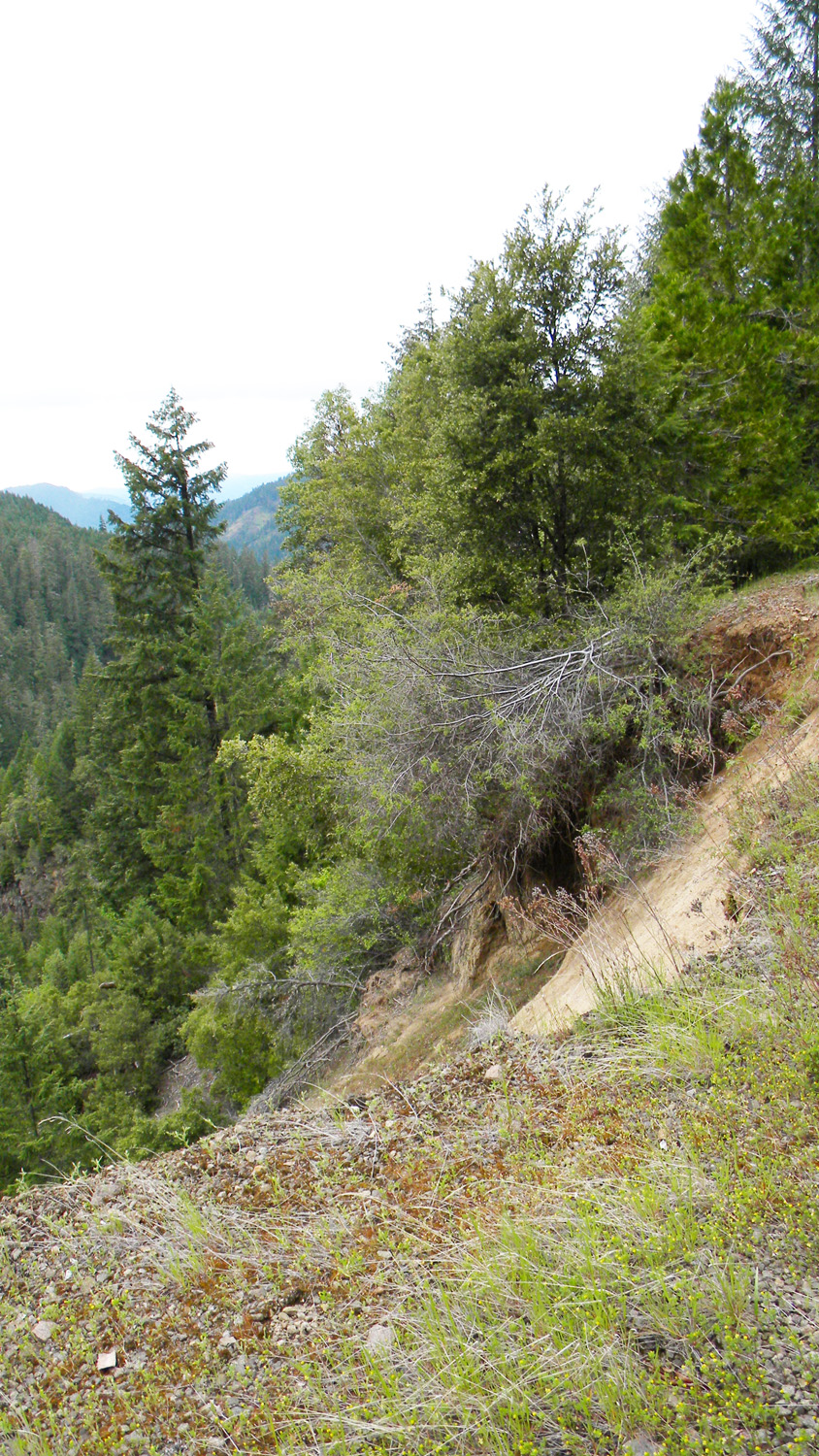
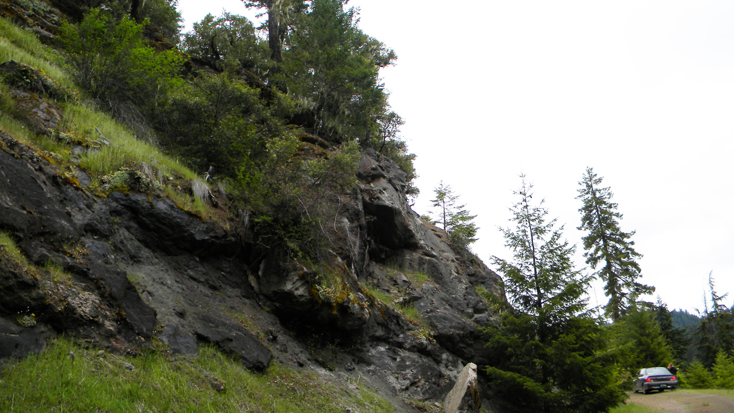
3877_600_Road_Rock |
 |
 |
 |
 |
 |
3878_631_Road_Blocked |
3879_630_Road_Blocked |
3880_630_Road_Blocked |
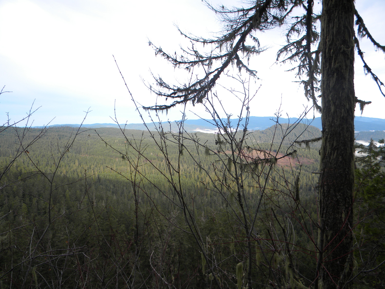
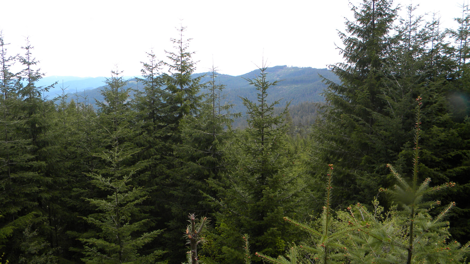
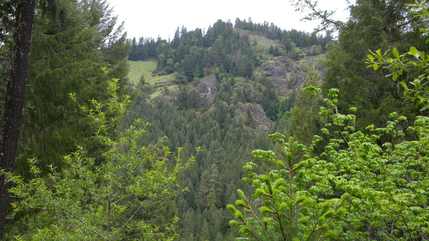
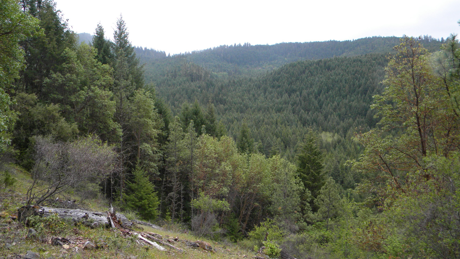
3881_600_Road_View |
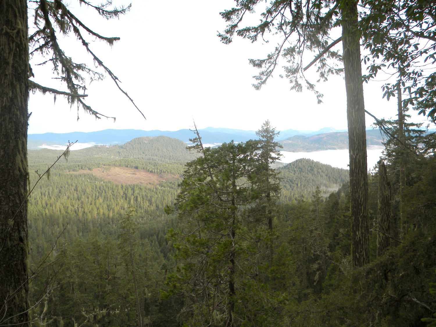
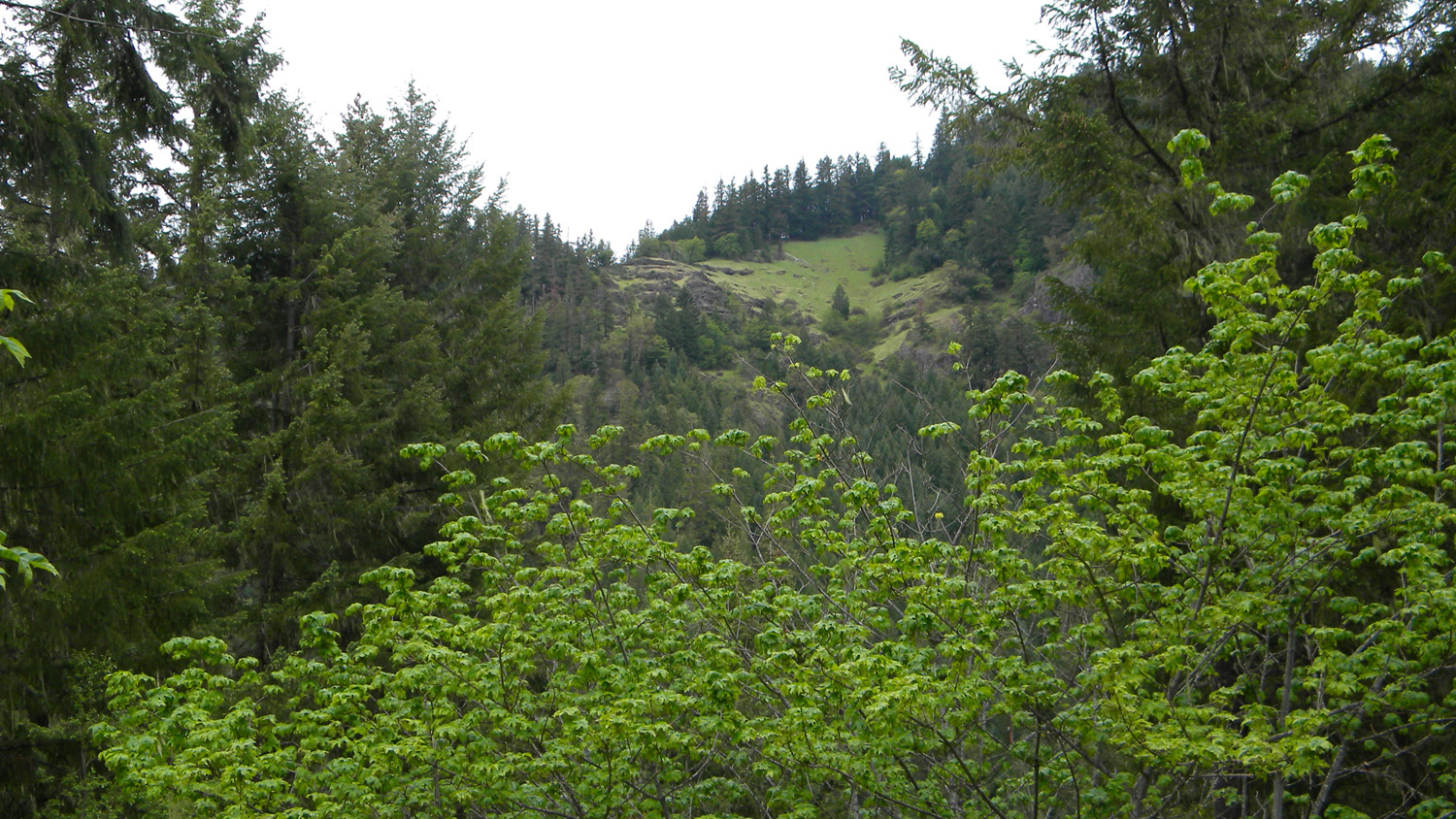
3882_600_Road_View |
 |
 |
 |
 |
 |
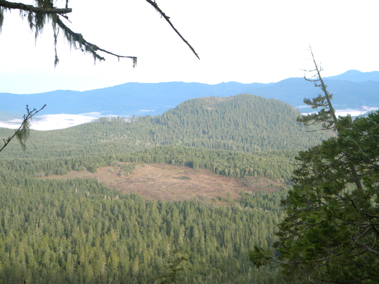
3883_600_Road_View |
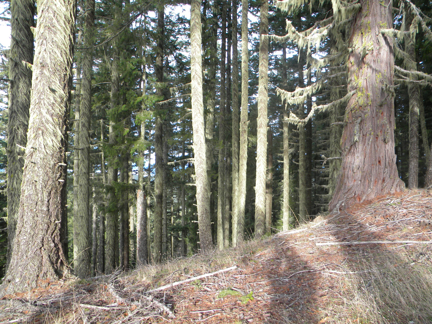
3884_600_Road_Rock |
3885_600_Road_Rock |
3886_600_Road |
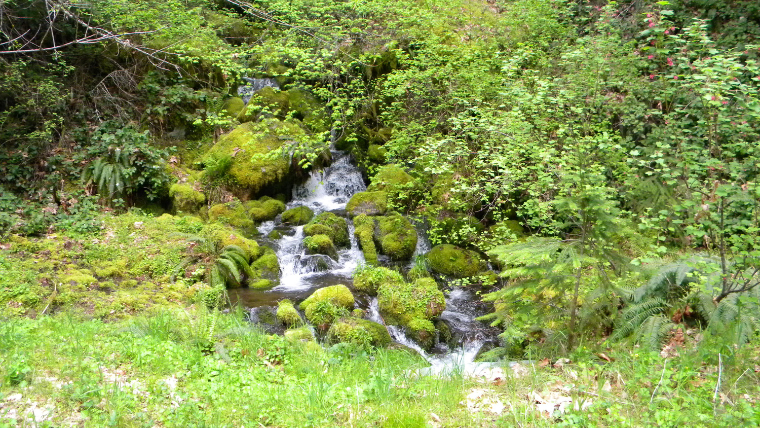
3887_Devils_Knob_Creek |
 |
 |
 |
 |
 |
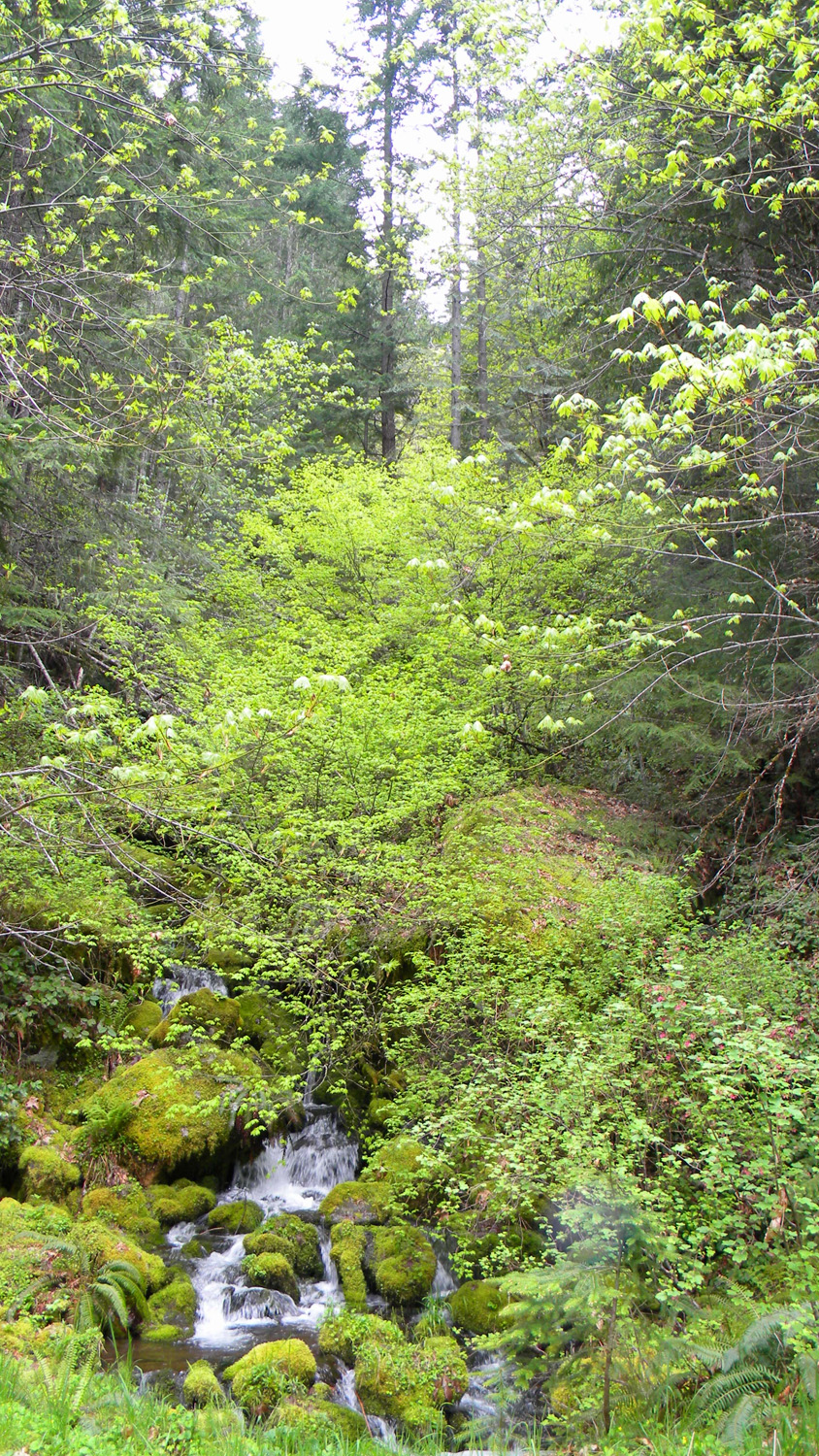
3888_Devils_Knob_Creek |
3889_612_Road_End |
3890_612_Road_View |
3891_612_Road_View |
3892_612_Road_End |
 |
 |
 |
 |
 |
3893_612_Road_View |
3894_612_Road_View |
3895_612_Road_End |
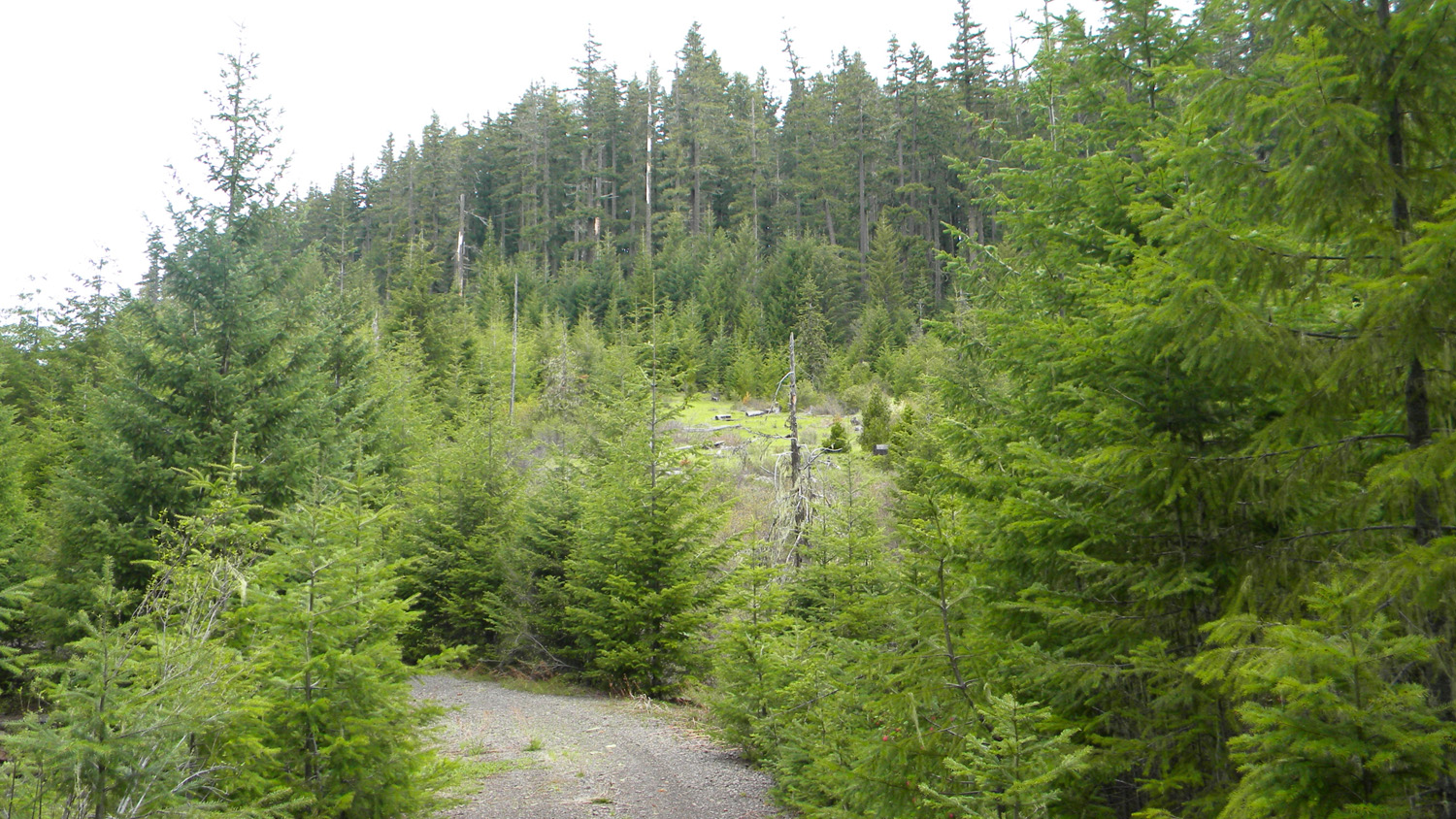
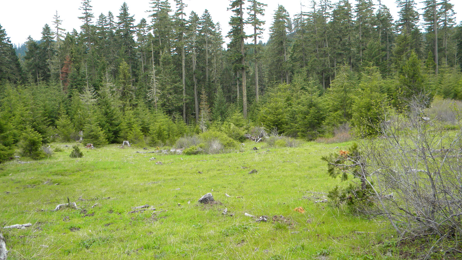
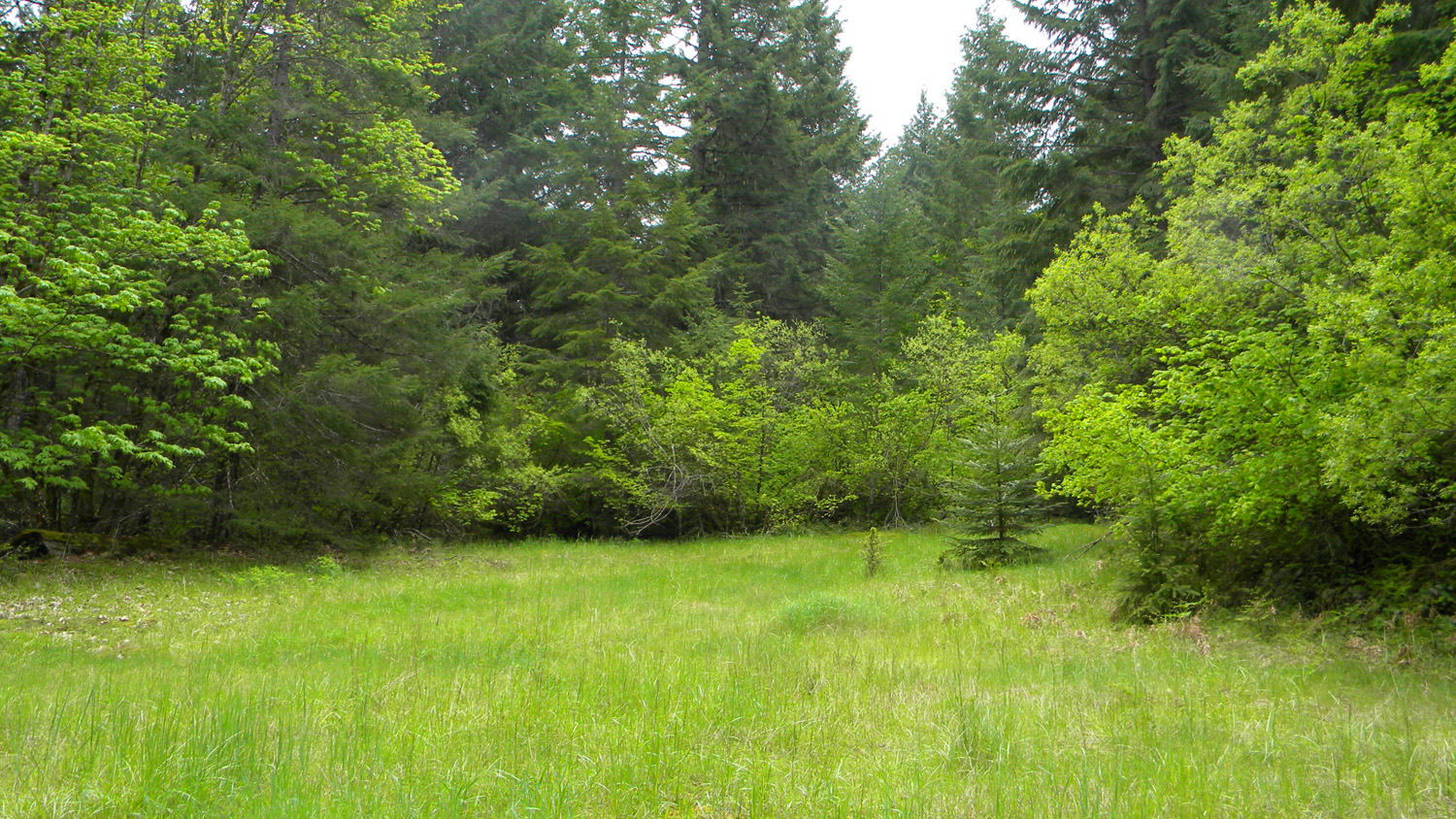
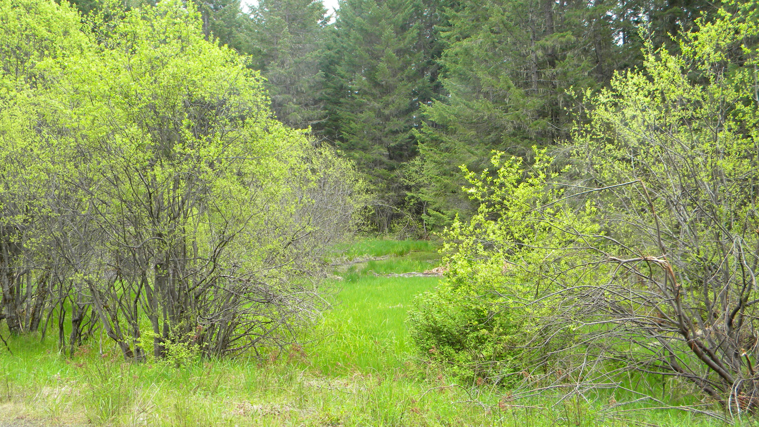
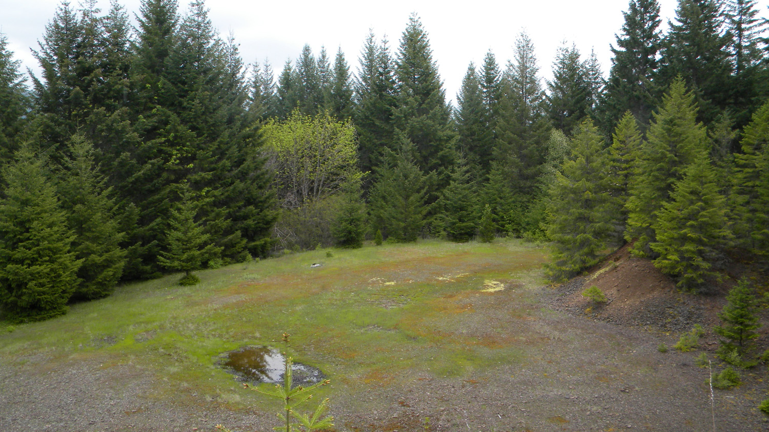
3896_610_Road_Meadow |
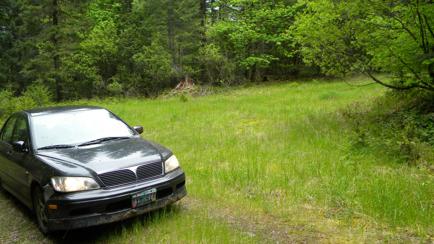
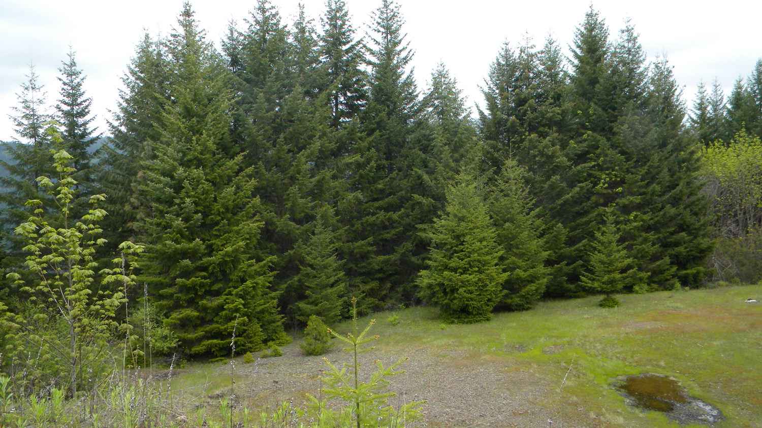
3897_610_Road_Meadow |
 |
 |
 |
 |
 |
3898_530_Road |
3899_530_Road |
3900_530_Road |
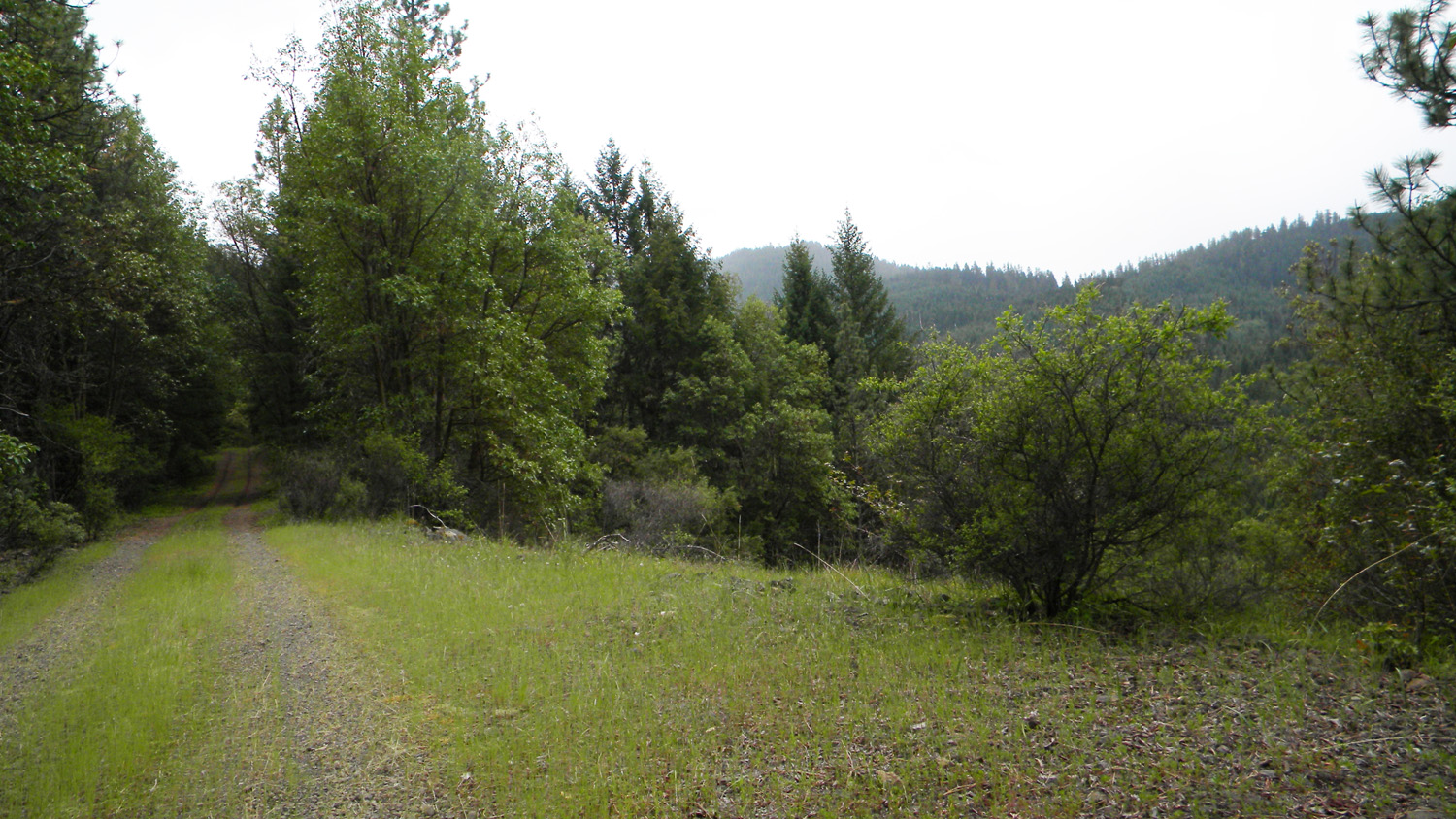
3901_3100_Road |
3902_3100_Road |
 |
 |
 |
 |
 |
3903_3100_Road |
3904_3100_Road |
3905_3100_Road |
3906_3100_Road |
3907_3100_Road |
![]()
© 2010, 2020 Oregon Websites & Watersheds Project, Inc. & NW Maps Co.