Upper South Umpqua Headwaters Precontact Reference Study
Tsp. 30 S., Rng. 2 E.
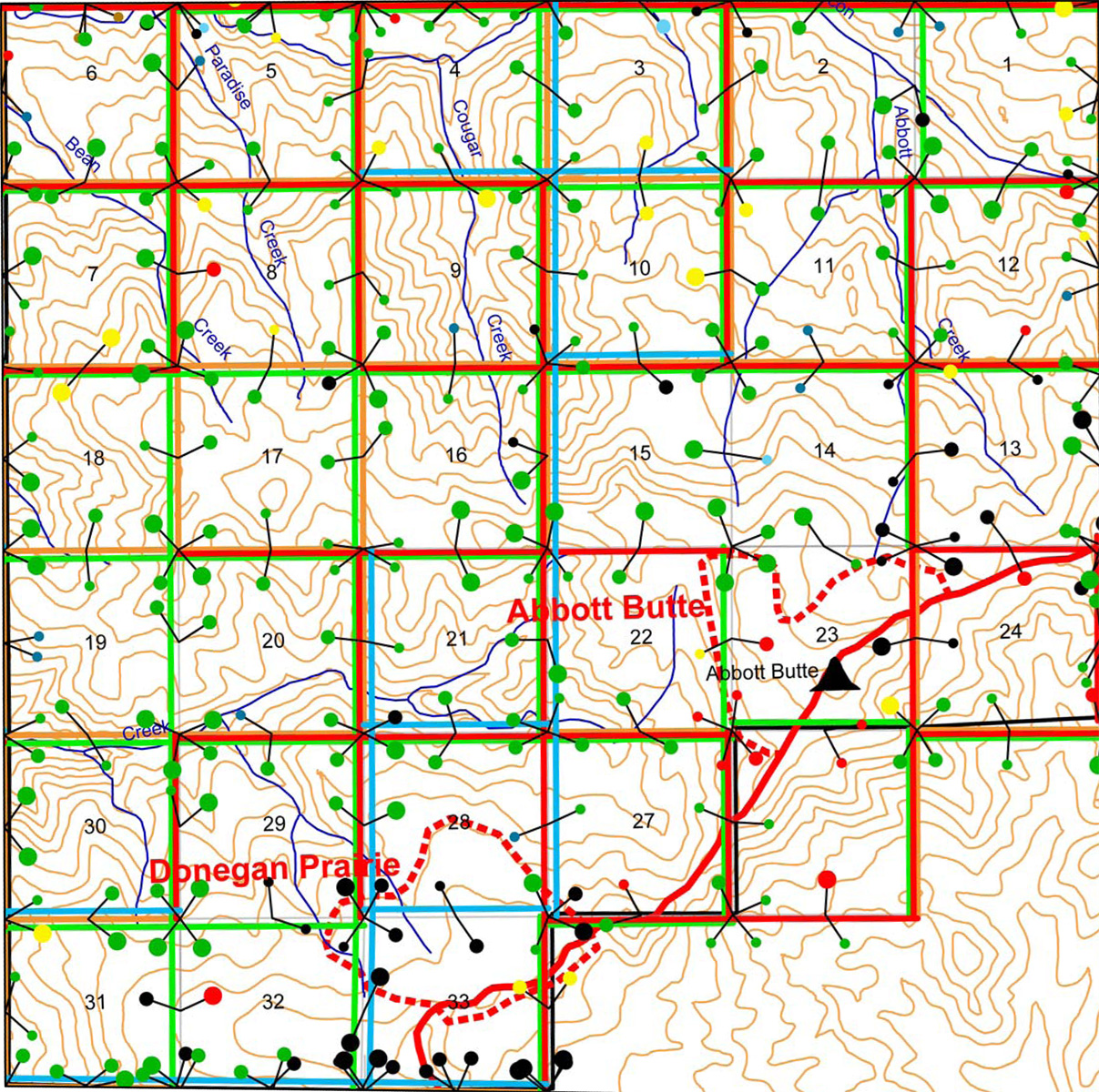
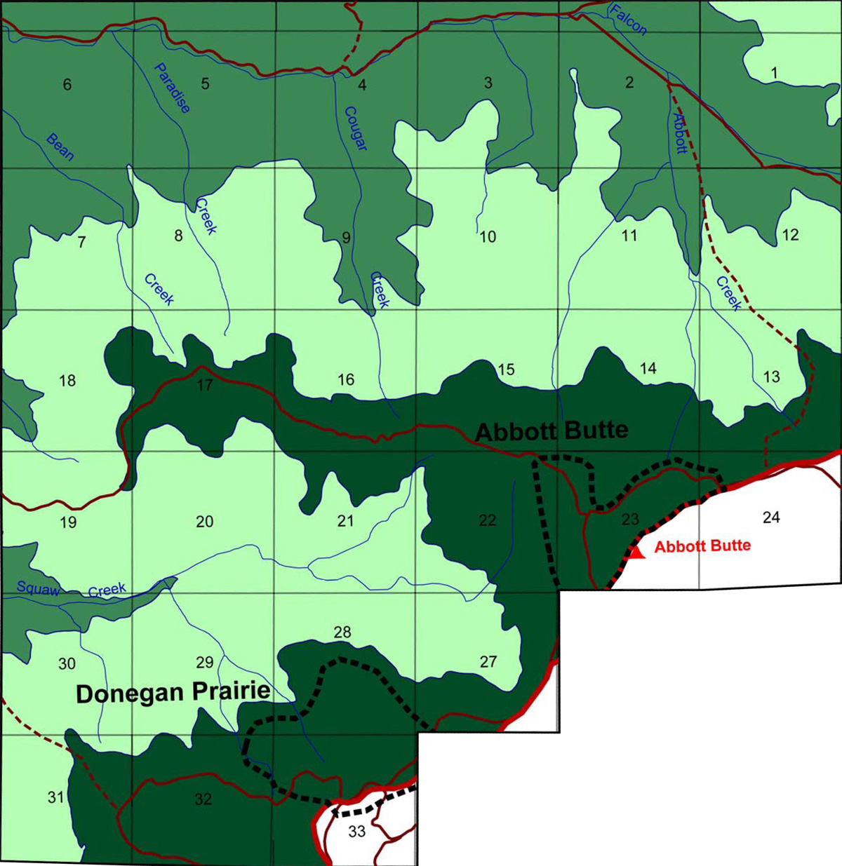
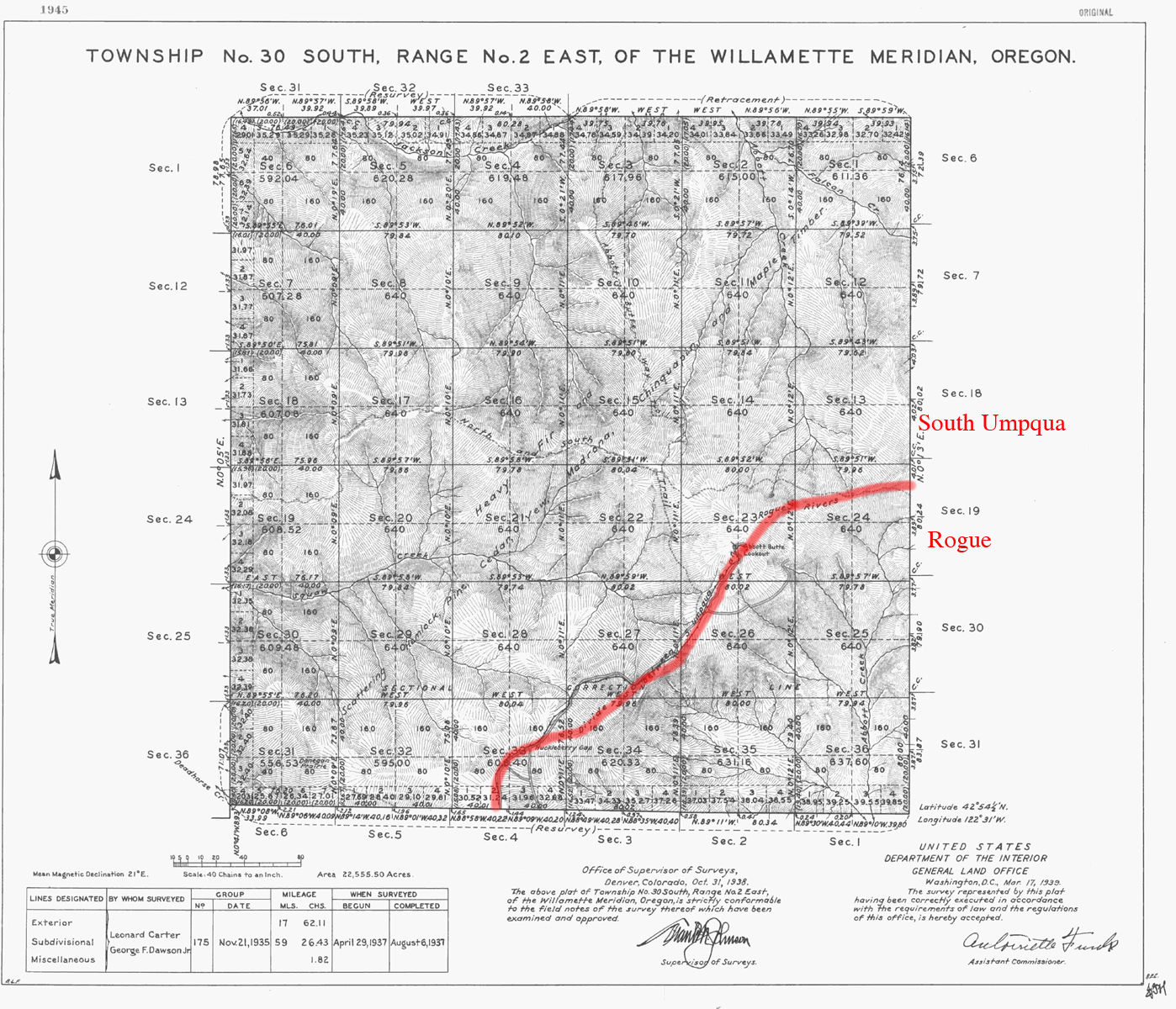
Tsp. 30 S., Rng. 2 E. was first mapped and surveyed in 1937 (Carter and Dawson 1937). Here are the typed Original Land Survey Notes.
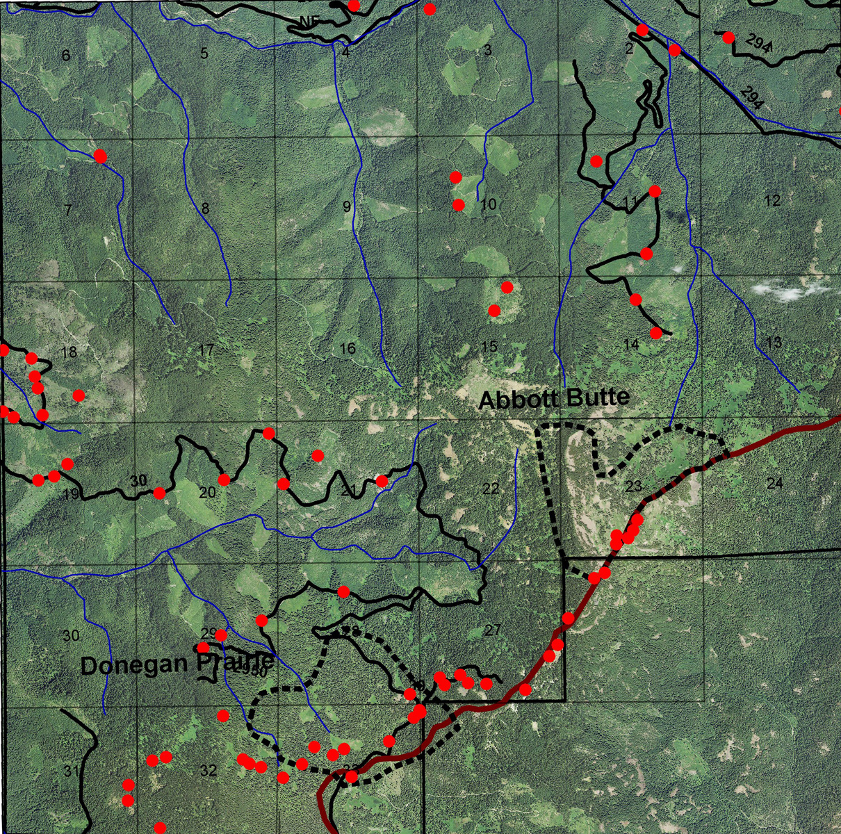
This township is located in the Upper South Umpqua Headwaters Precontact Reference Study and is contained in the Jackson Creek Subbasin.
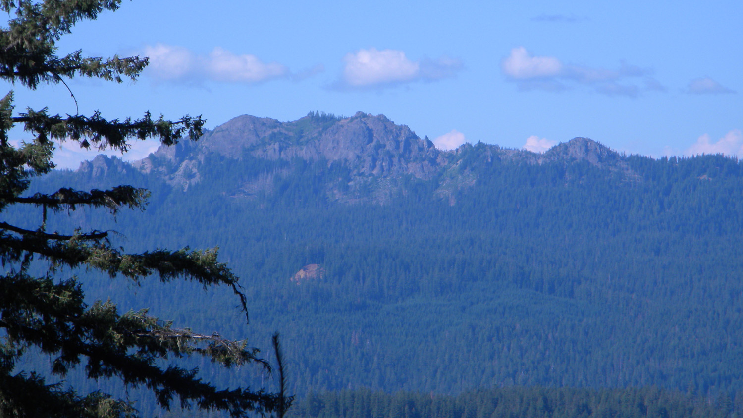
It contains two of the study's Areas of Special Interest: the Abbot Butte Area and the Donegan Prairie Area. The Abbot Butte Area also includes the and the Abbott Butte Lookout, which is listed in the ORWW Osbornes Project.
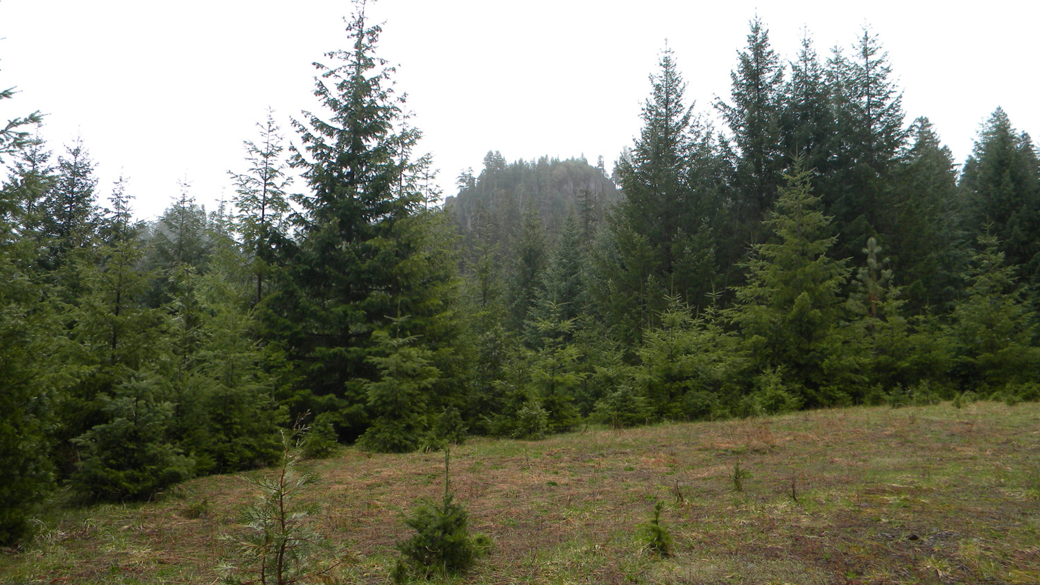
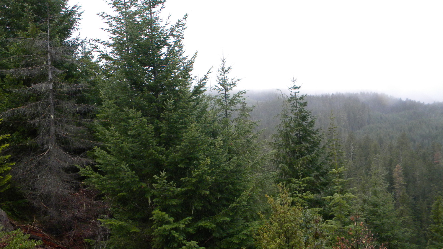
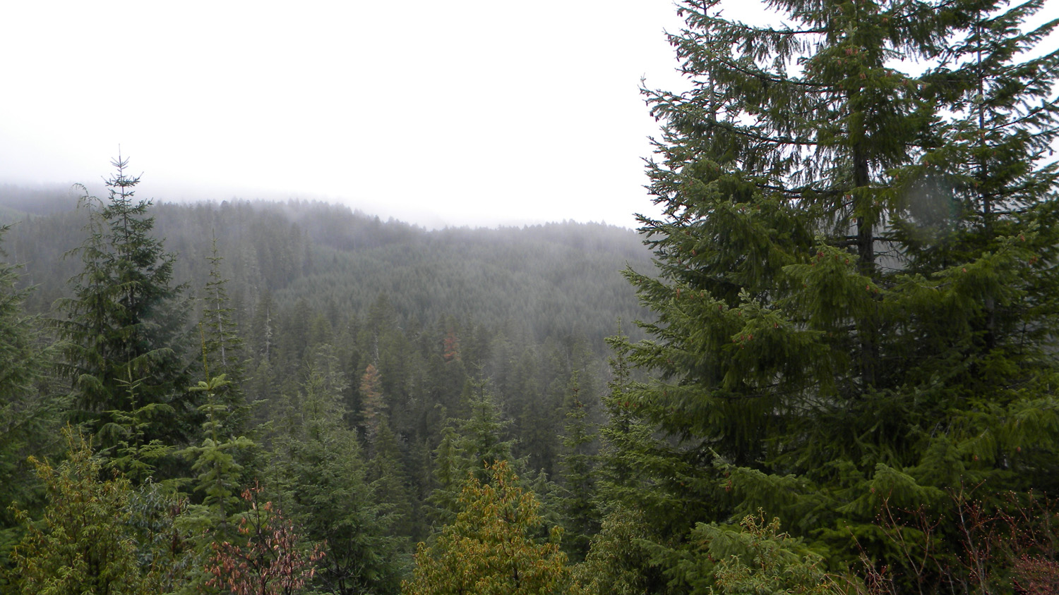
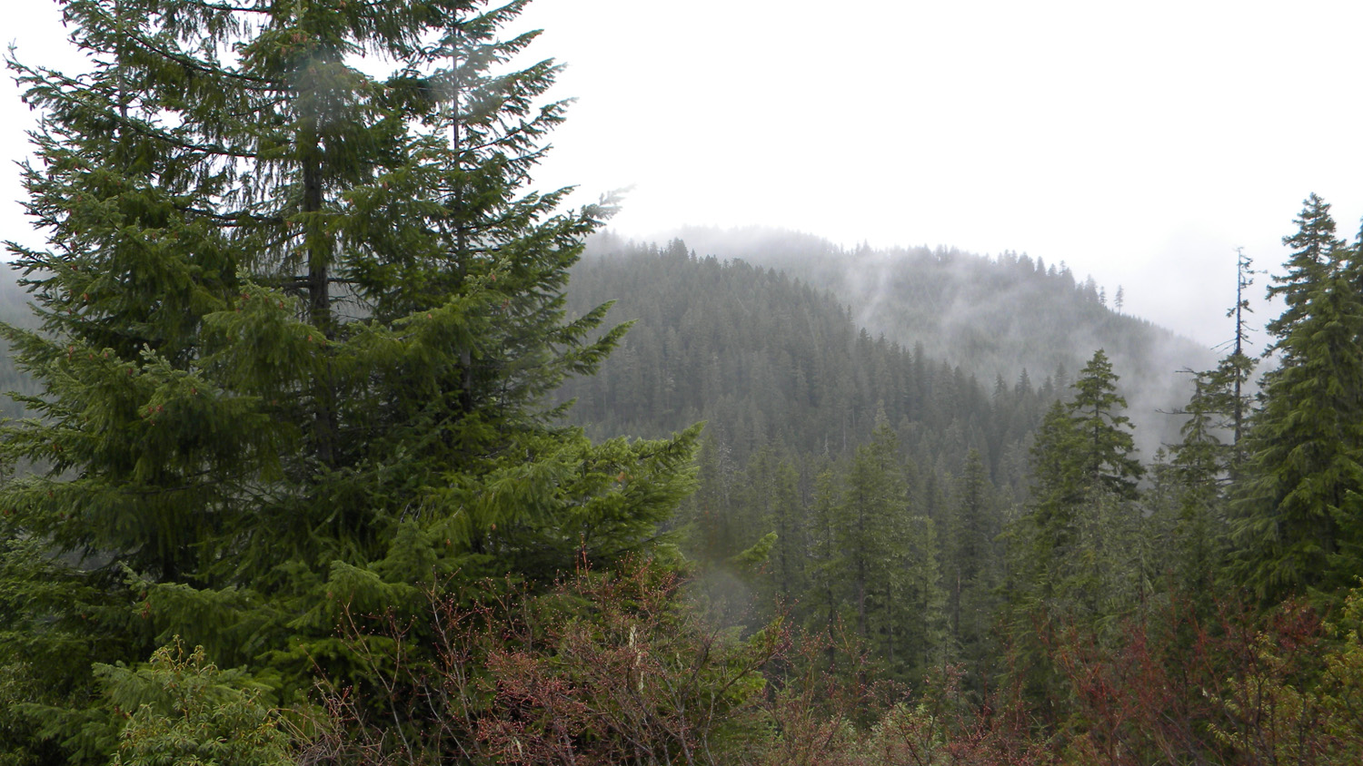
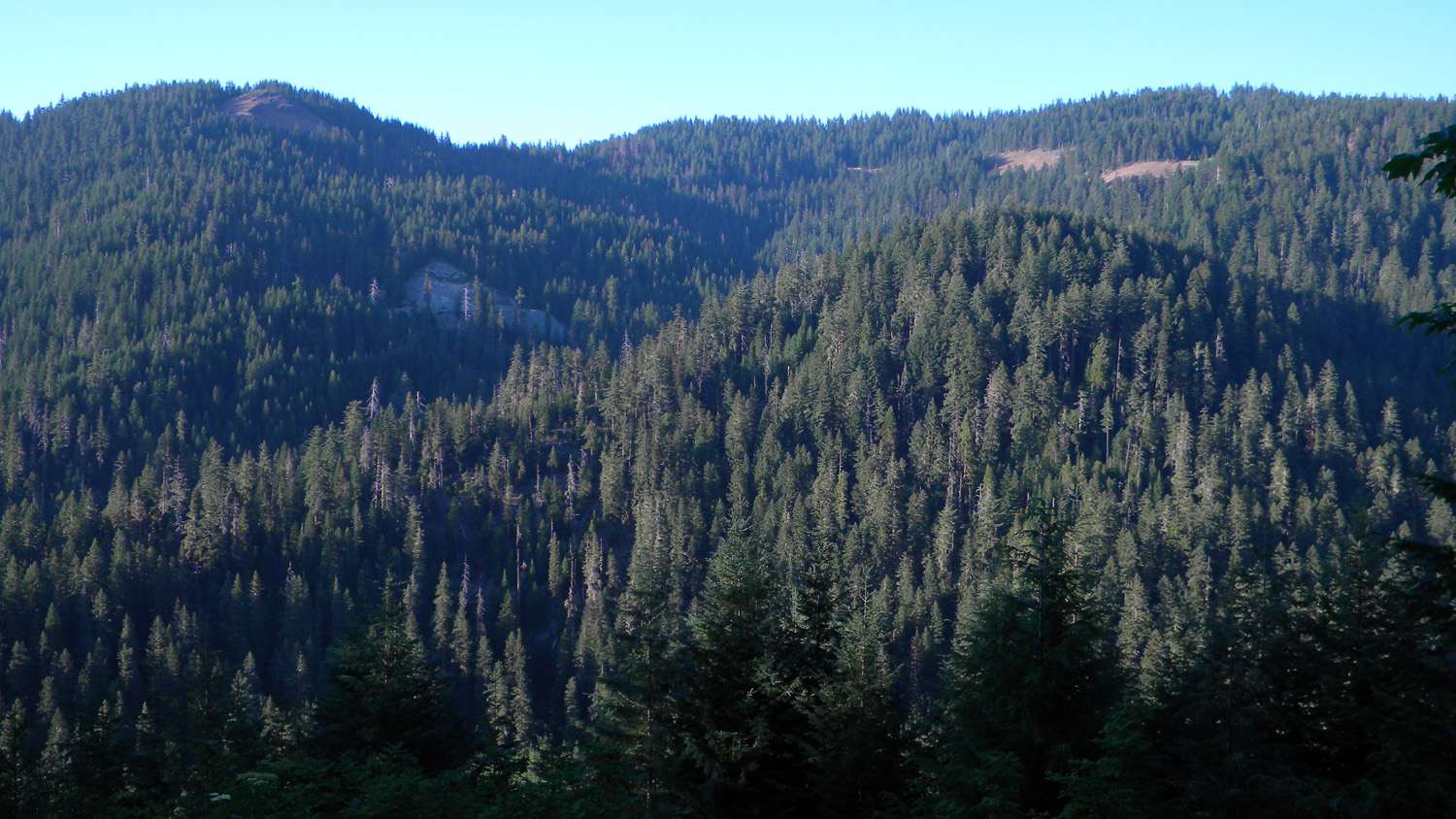
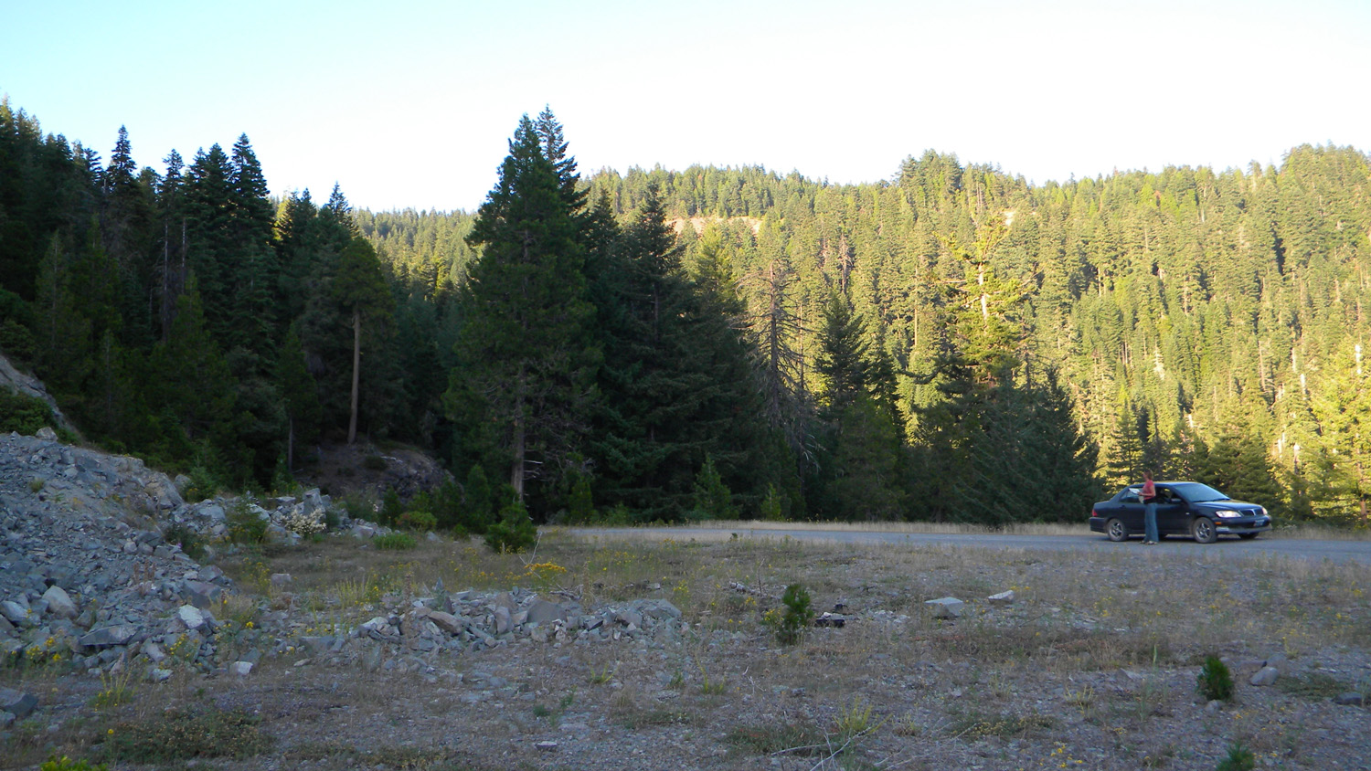
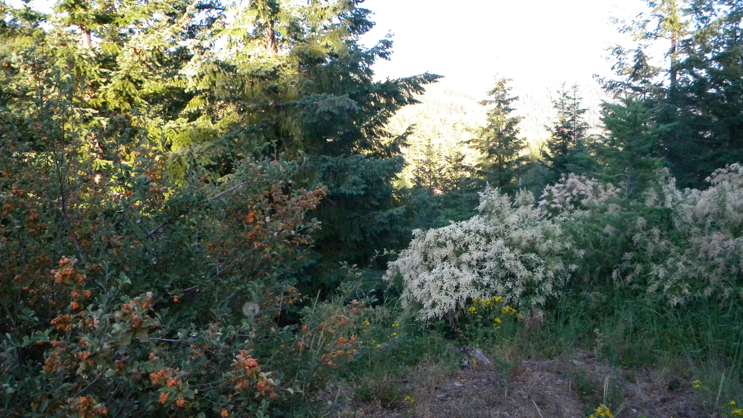
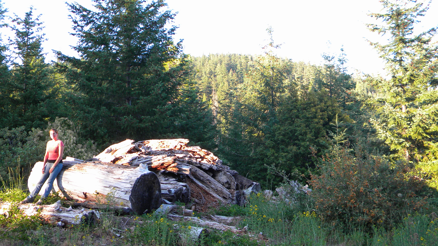
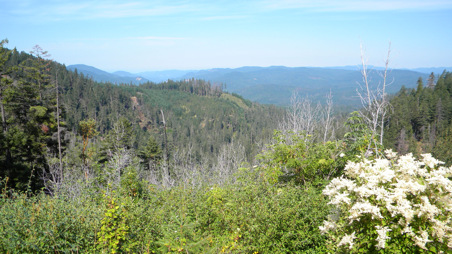
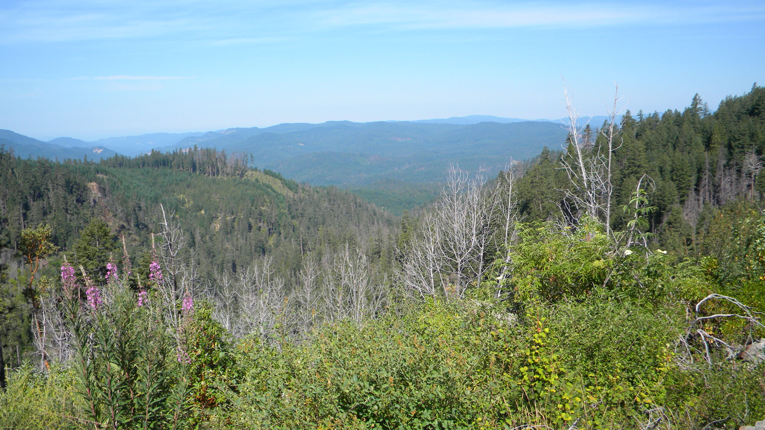
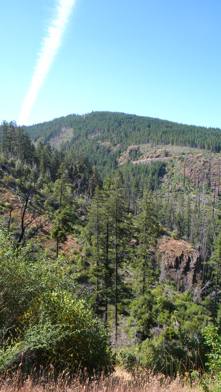
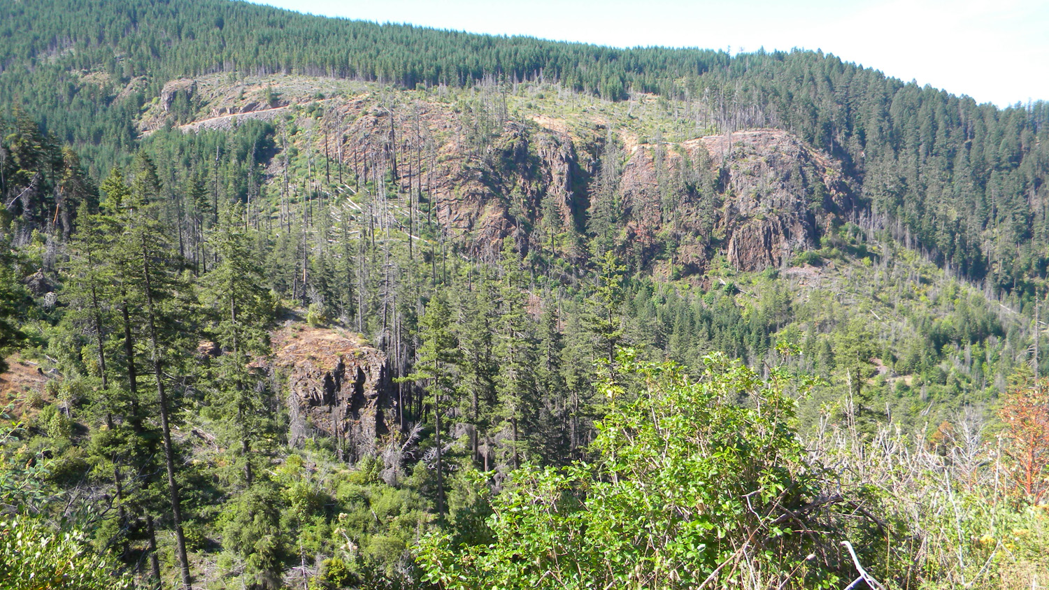
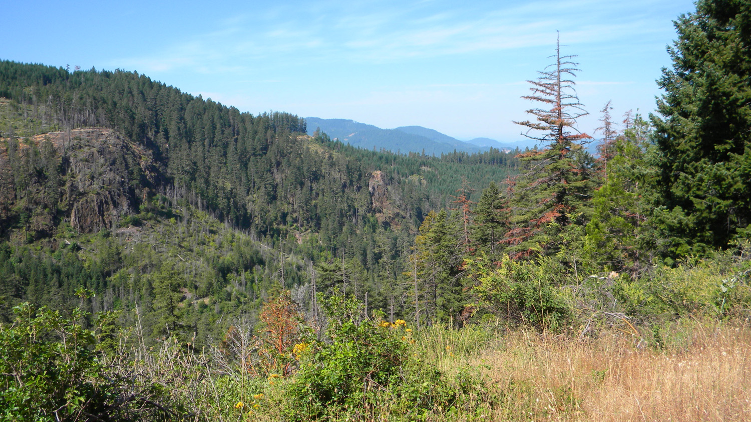
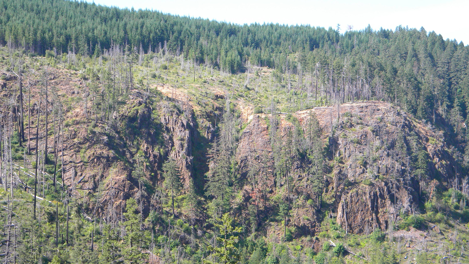
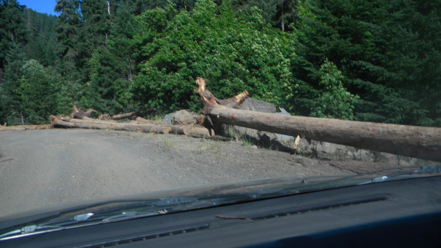
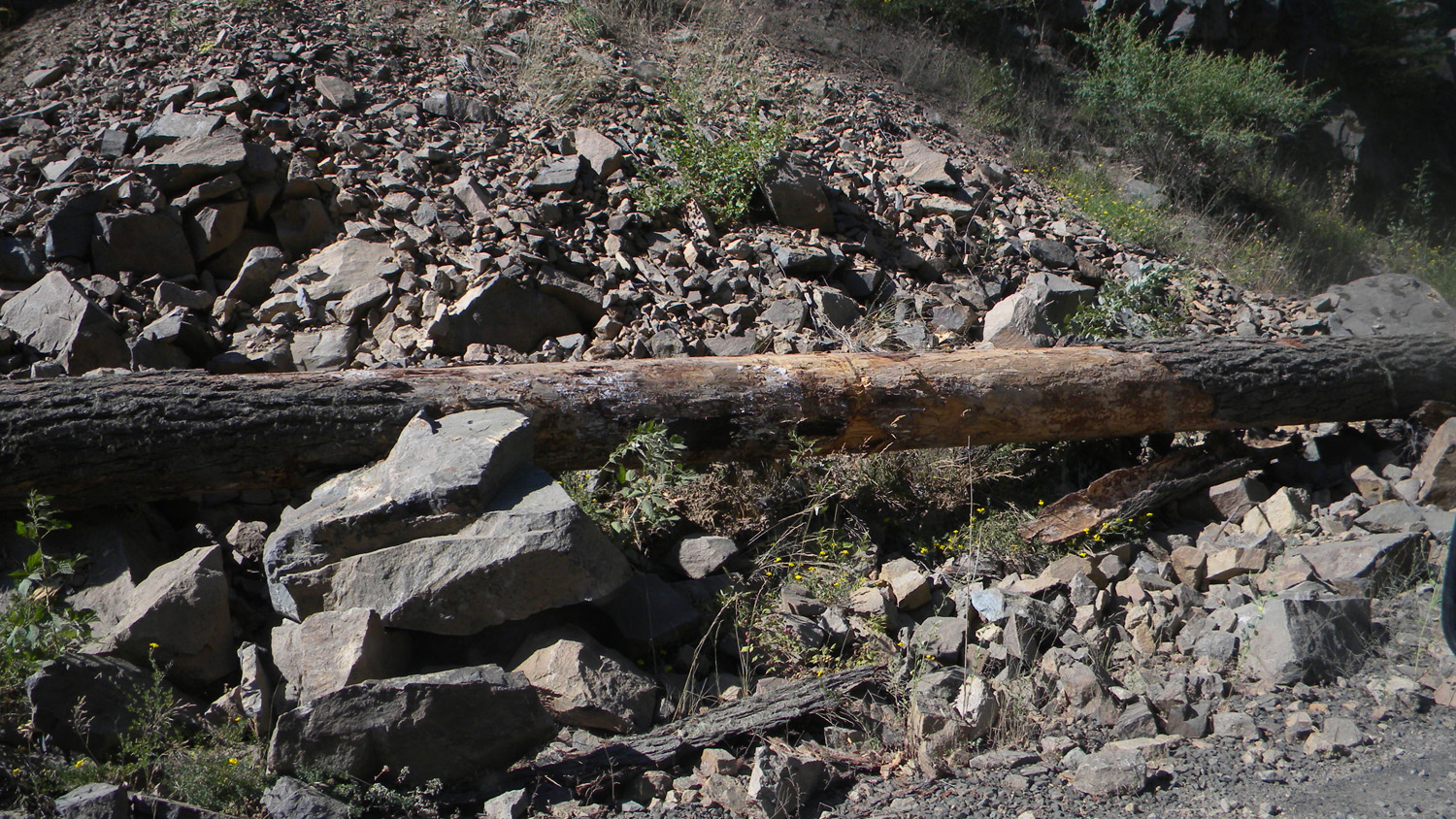
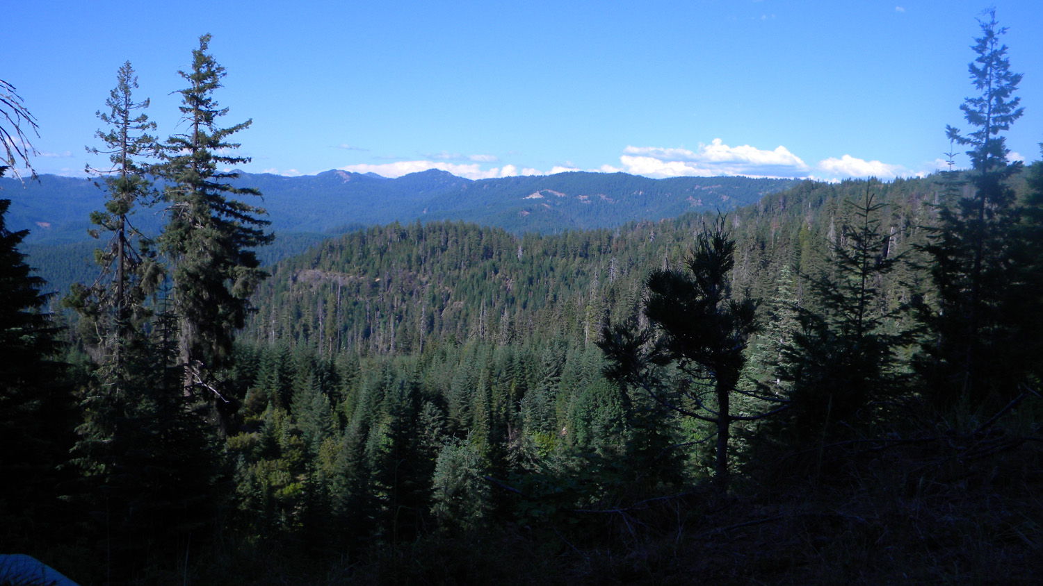
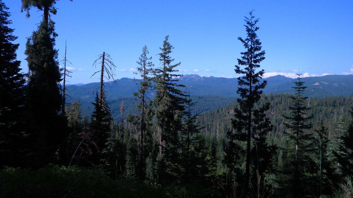
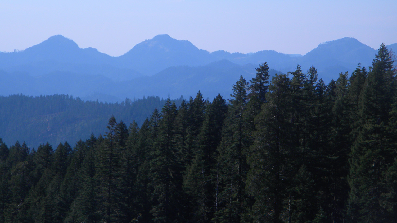
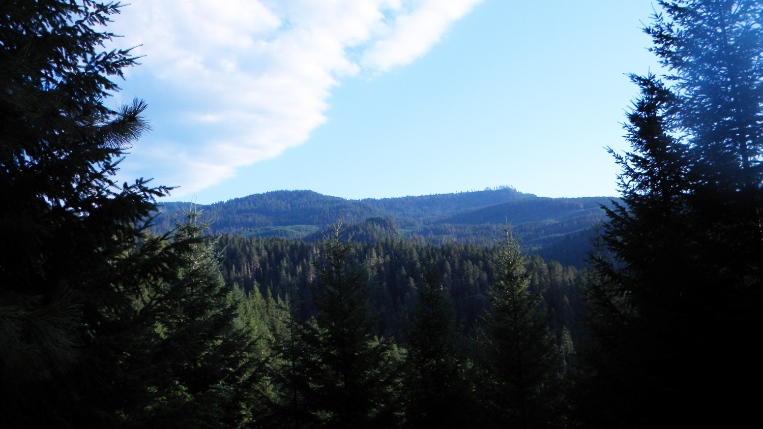
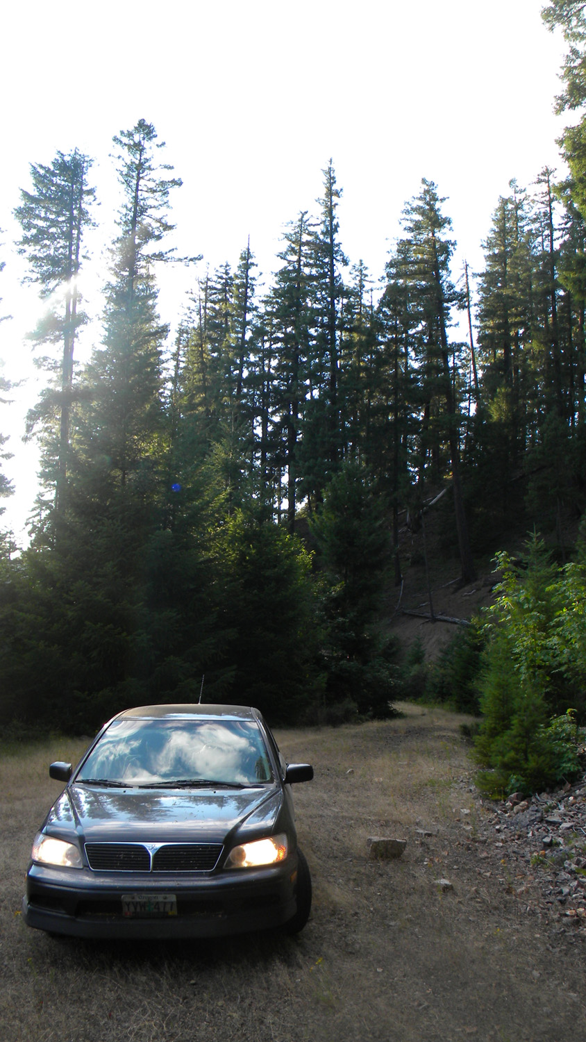
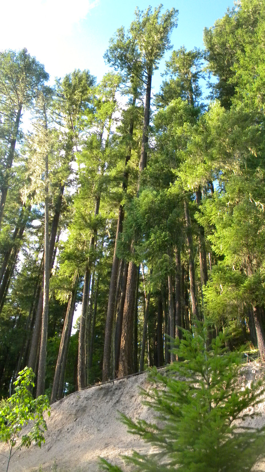
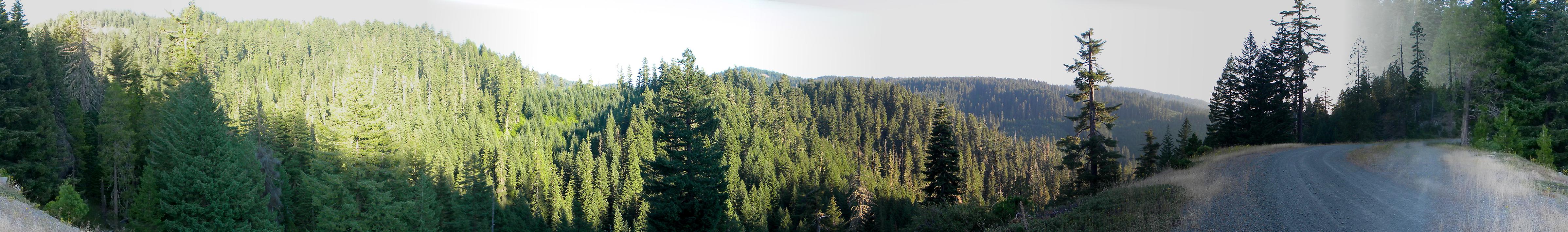
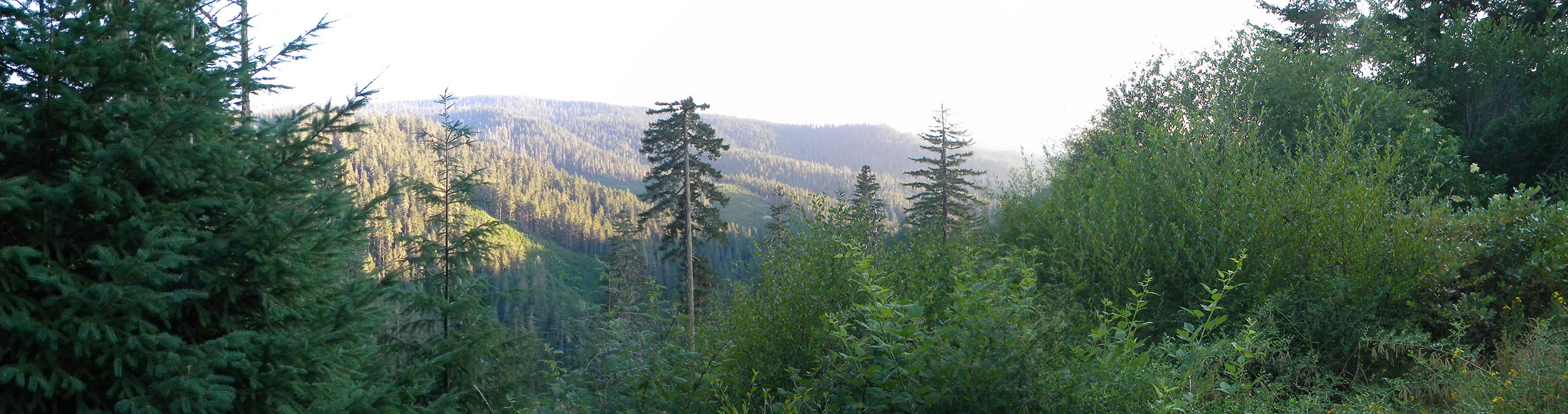
This page includes specific maps and aerial photographs of Tsp. 30 S., Rng. 2 E., panoramas and QTVR video files constructed from the 2010 field research studies, and individual historical and 2010 documentary photographs showing current condtions, native plants and animals, and other points of interest related to this study area.
Panoramas and QTVRs
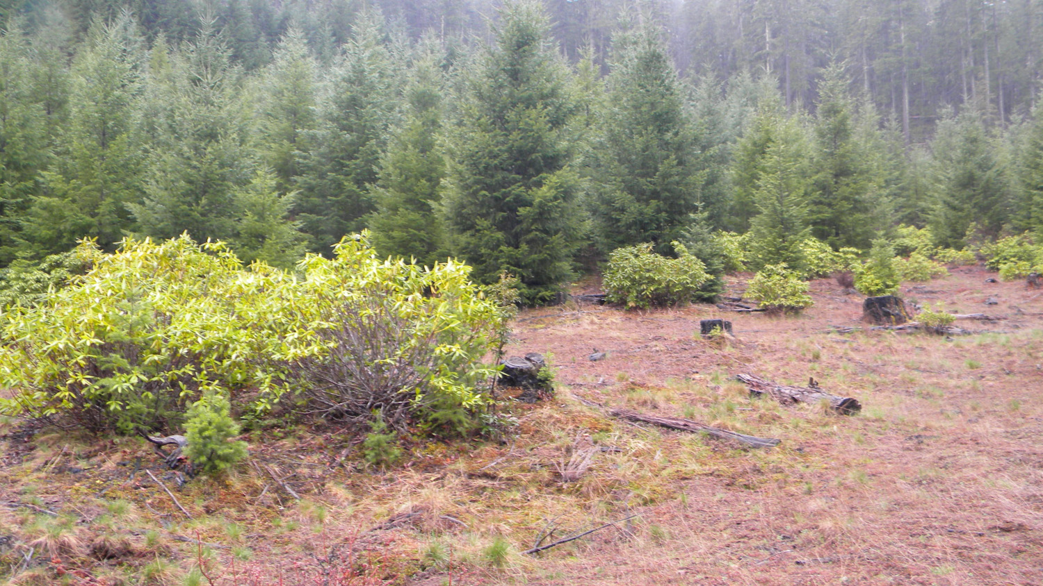
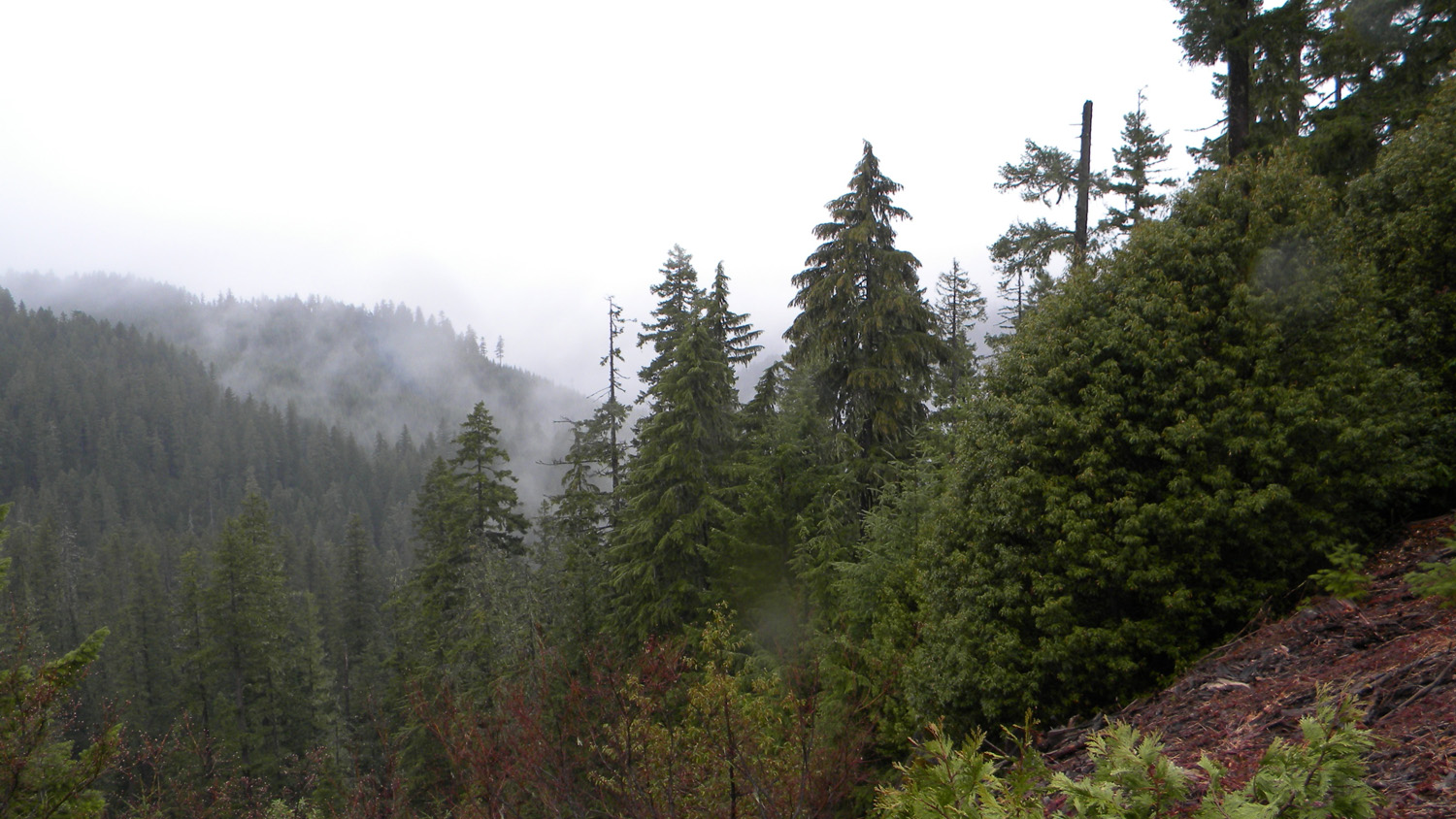
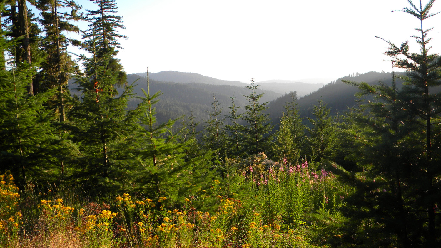
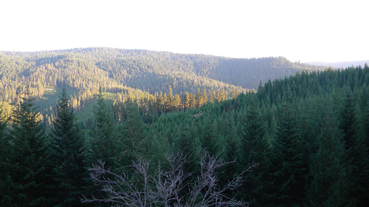
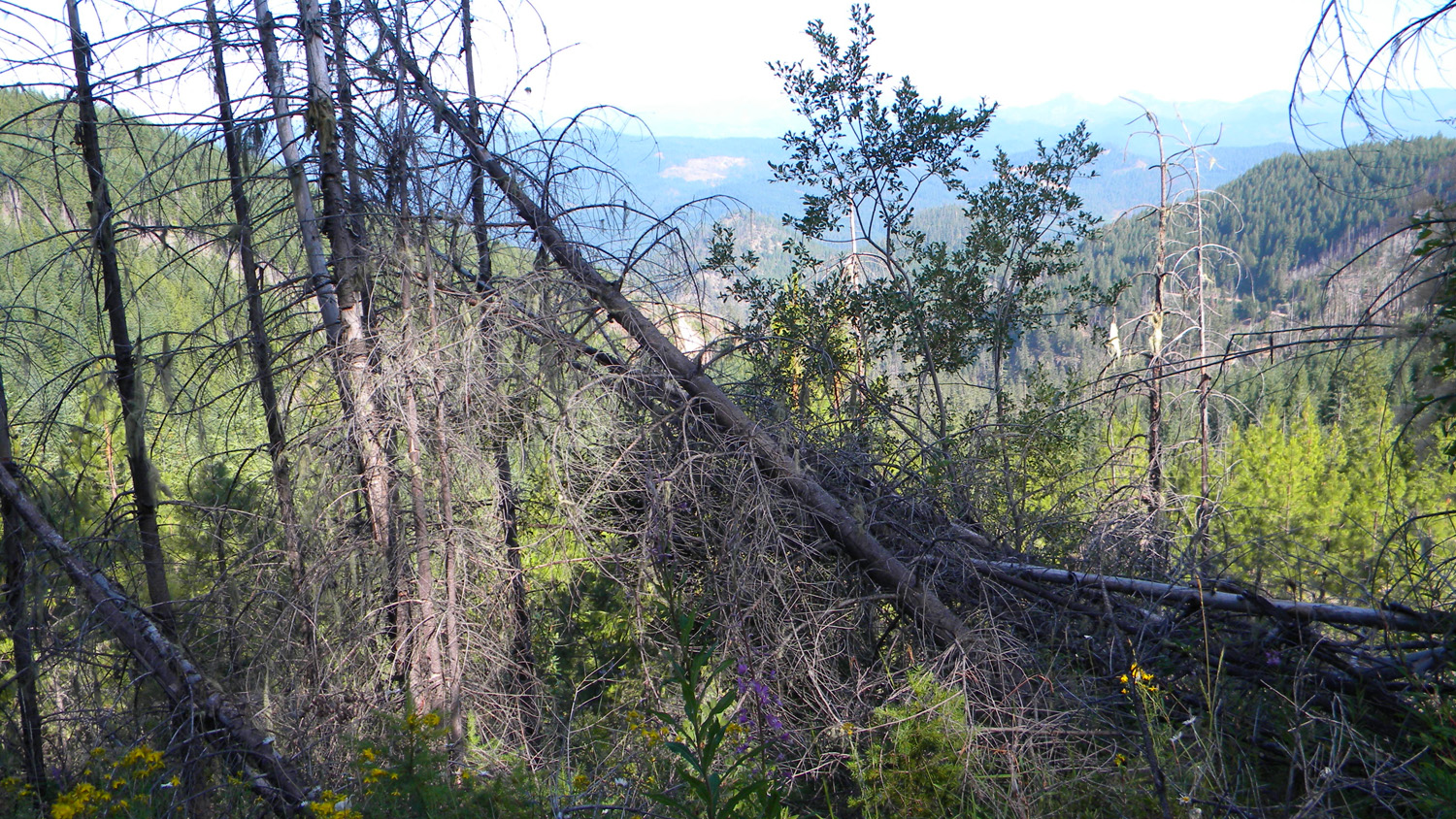
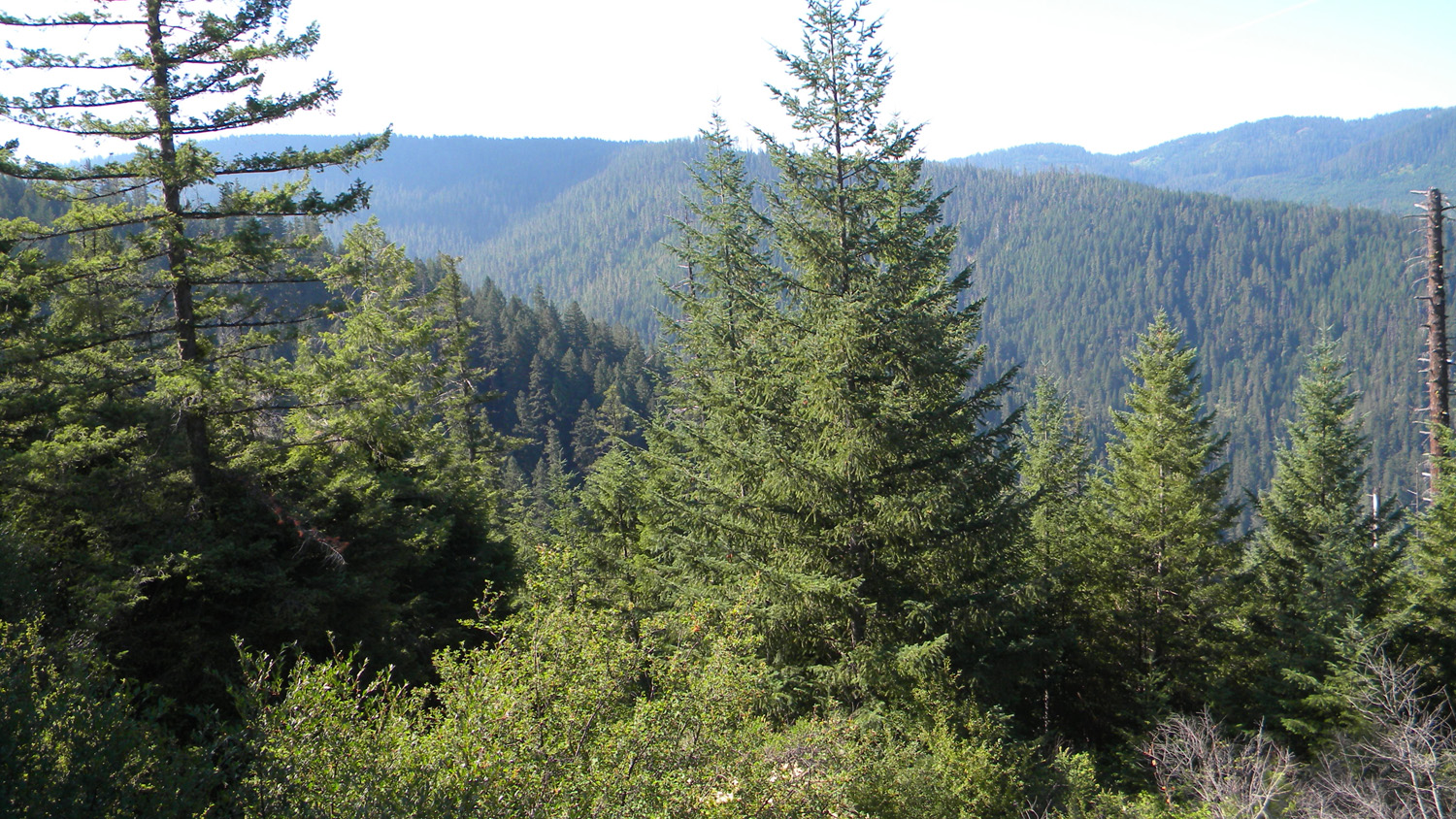
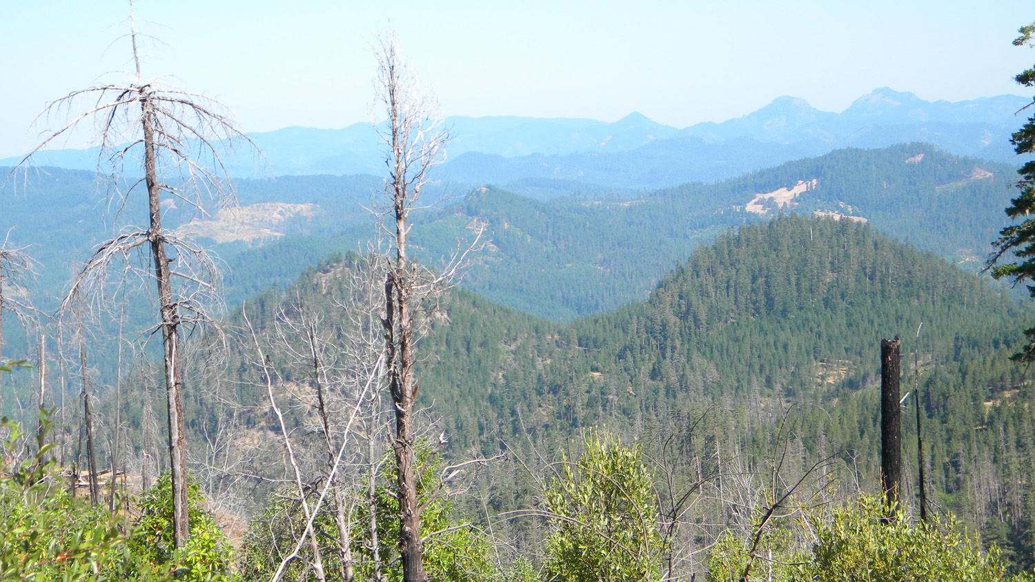
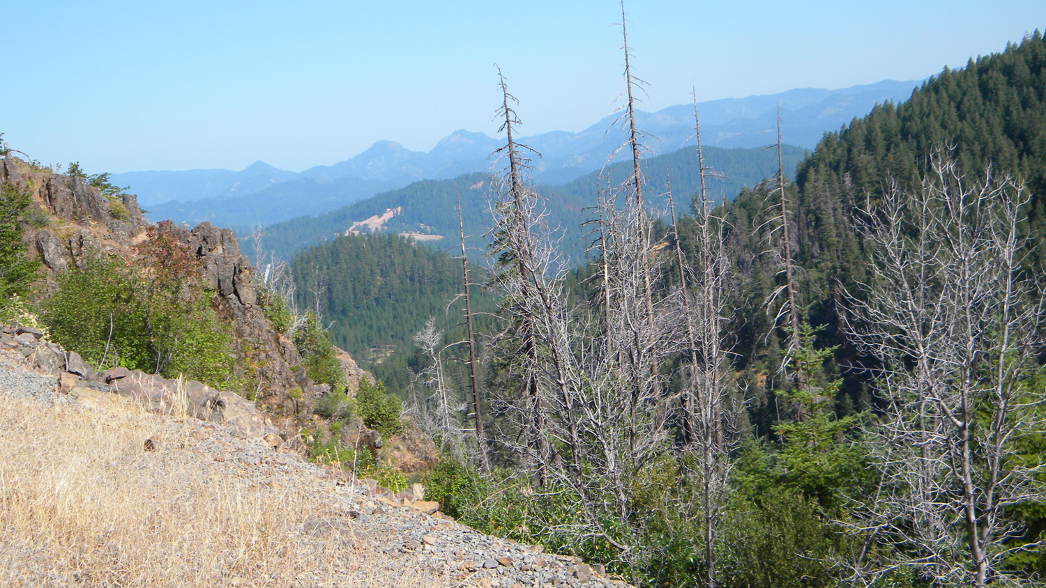
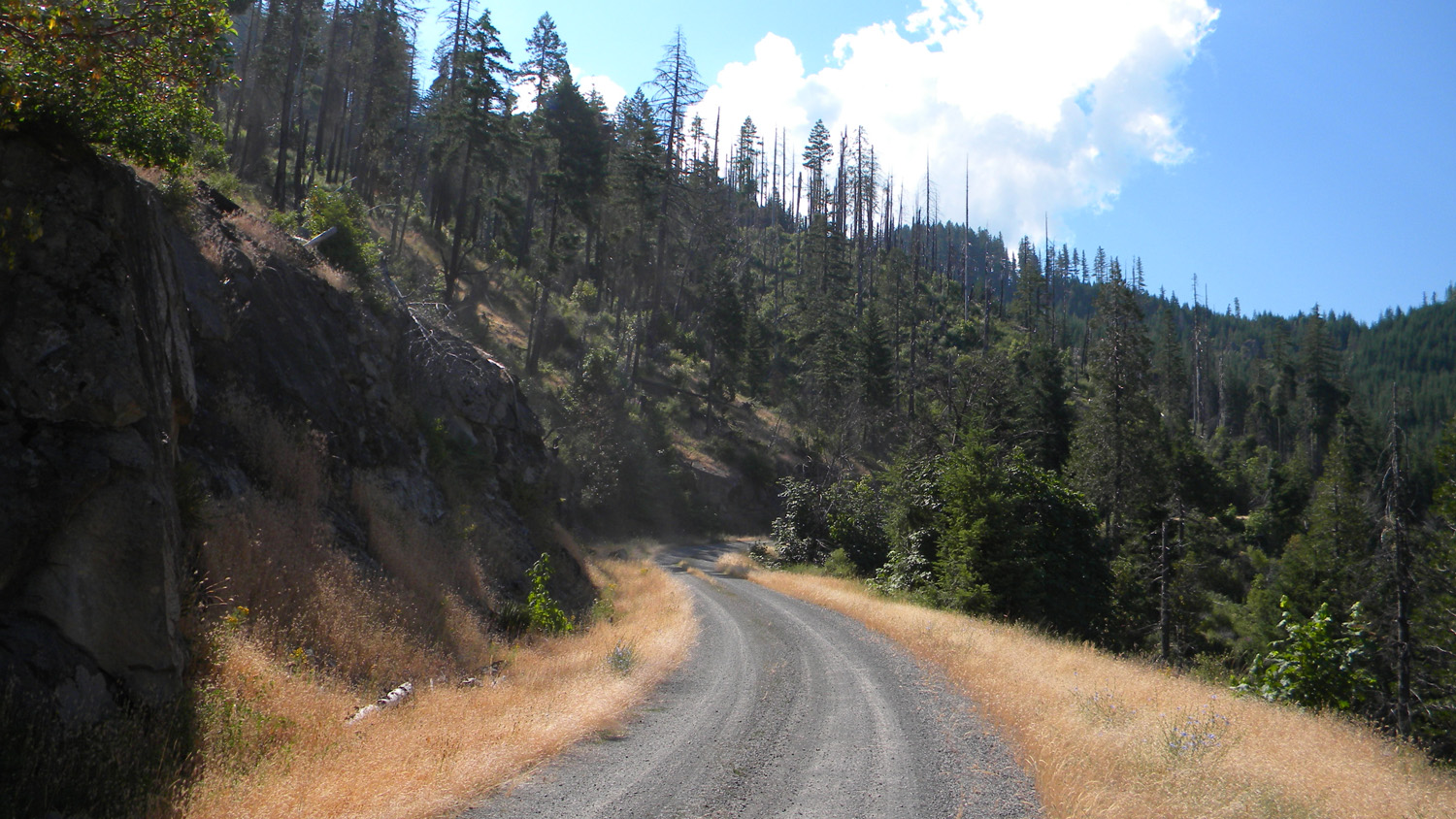
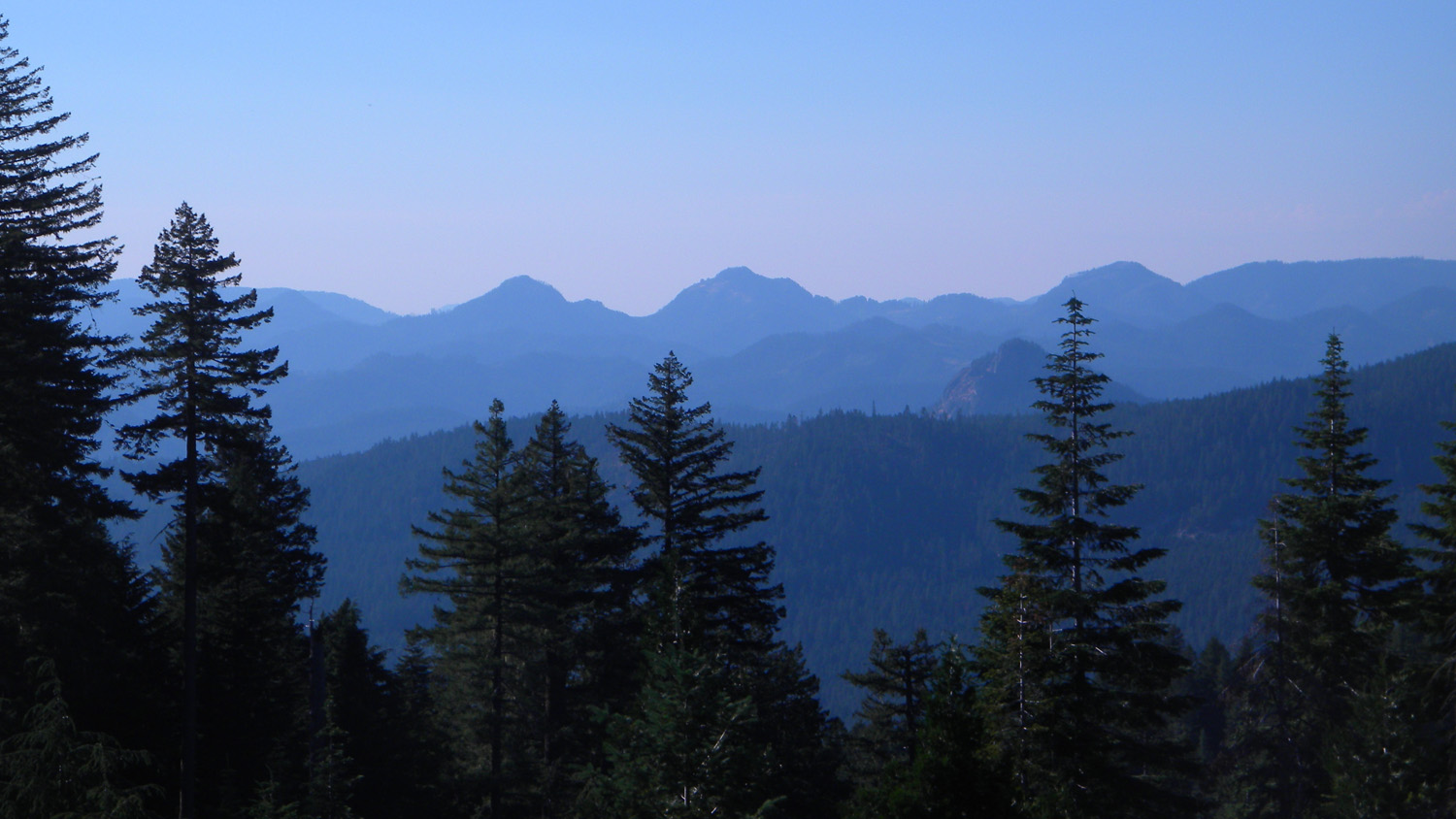
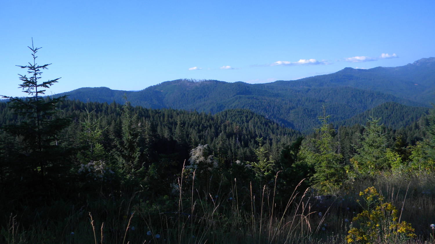
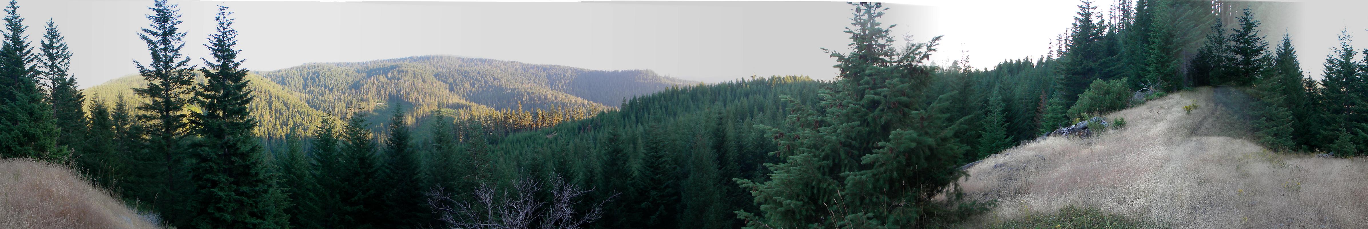
5795-5799_900_Road_View-180 |
||
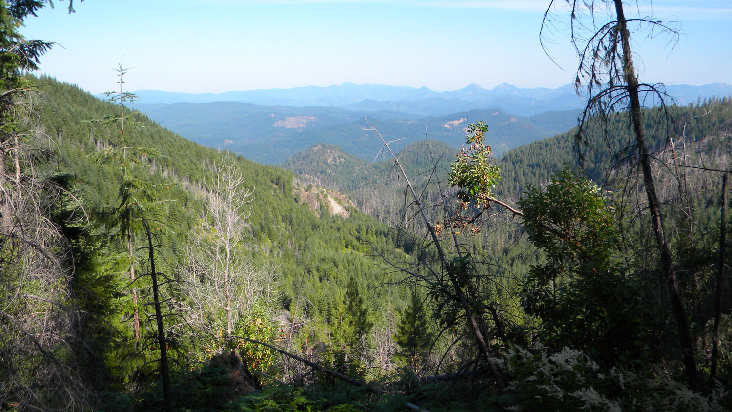
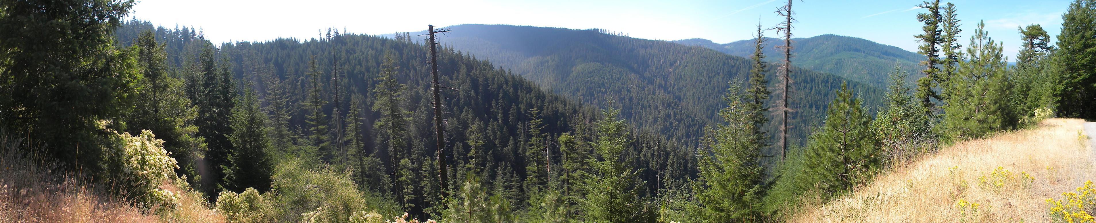
5812-5814_68_Road_View-180
|
||
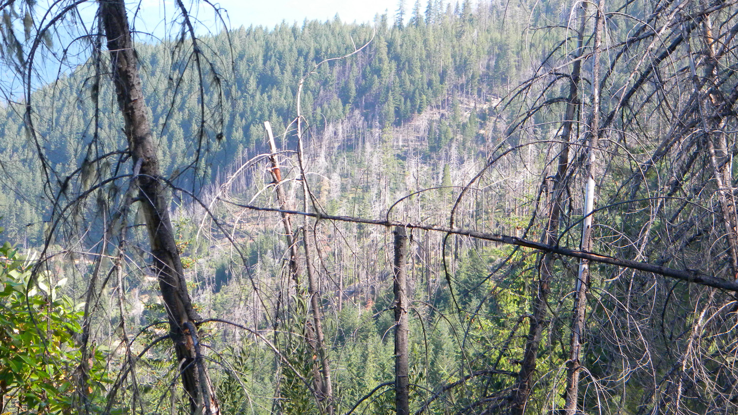
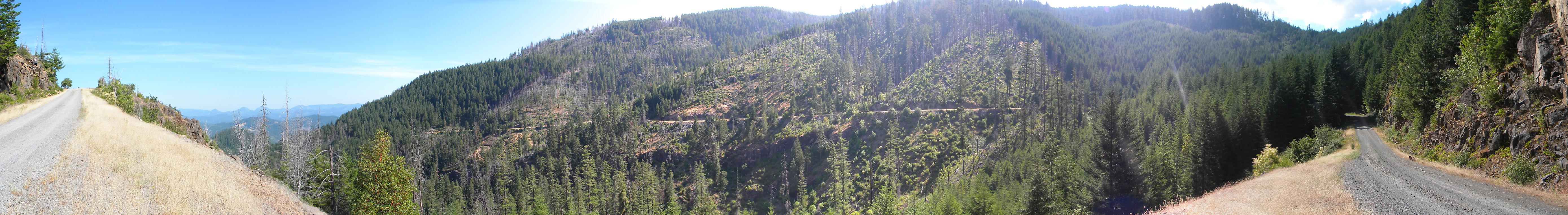
5815-5819_68_Road_View-180 |
||
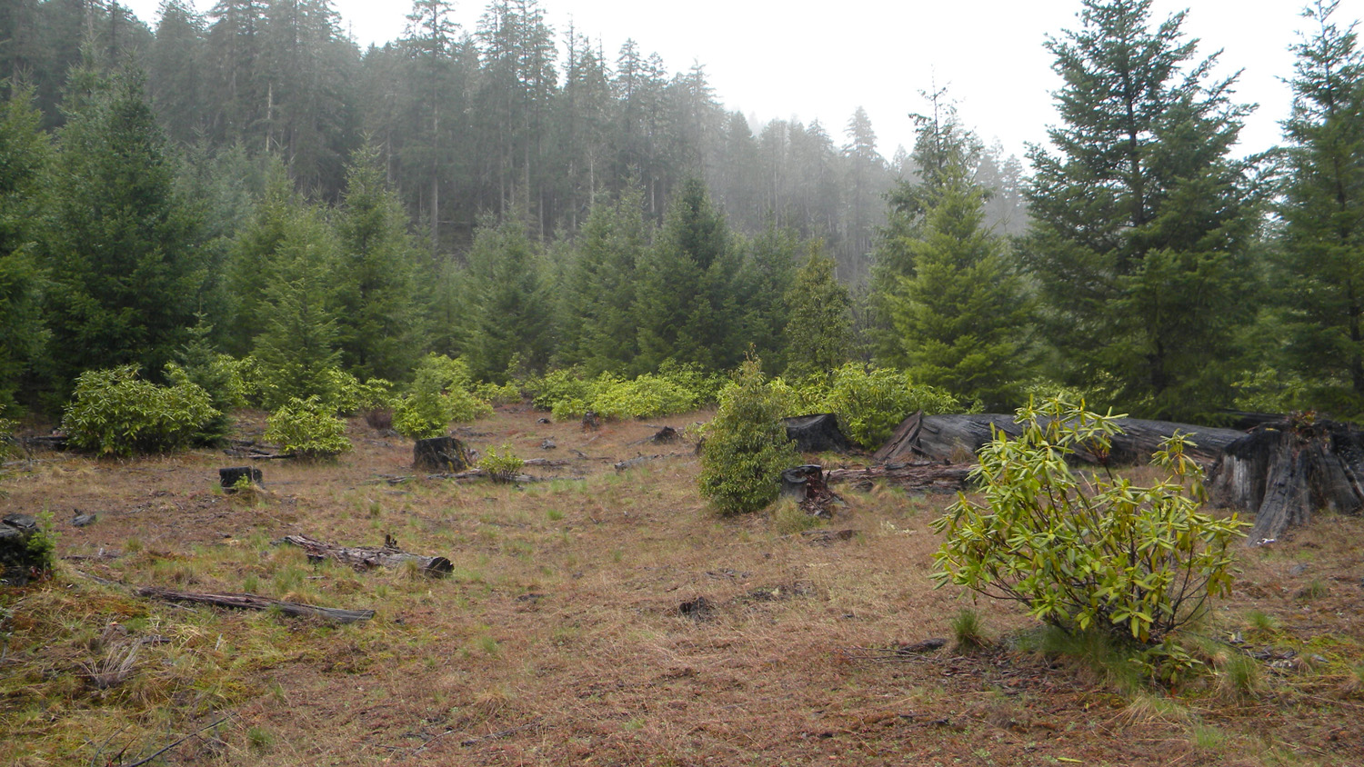
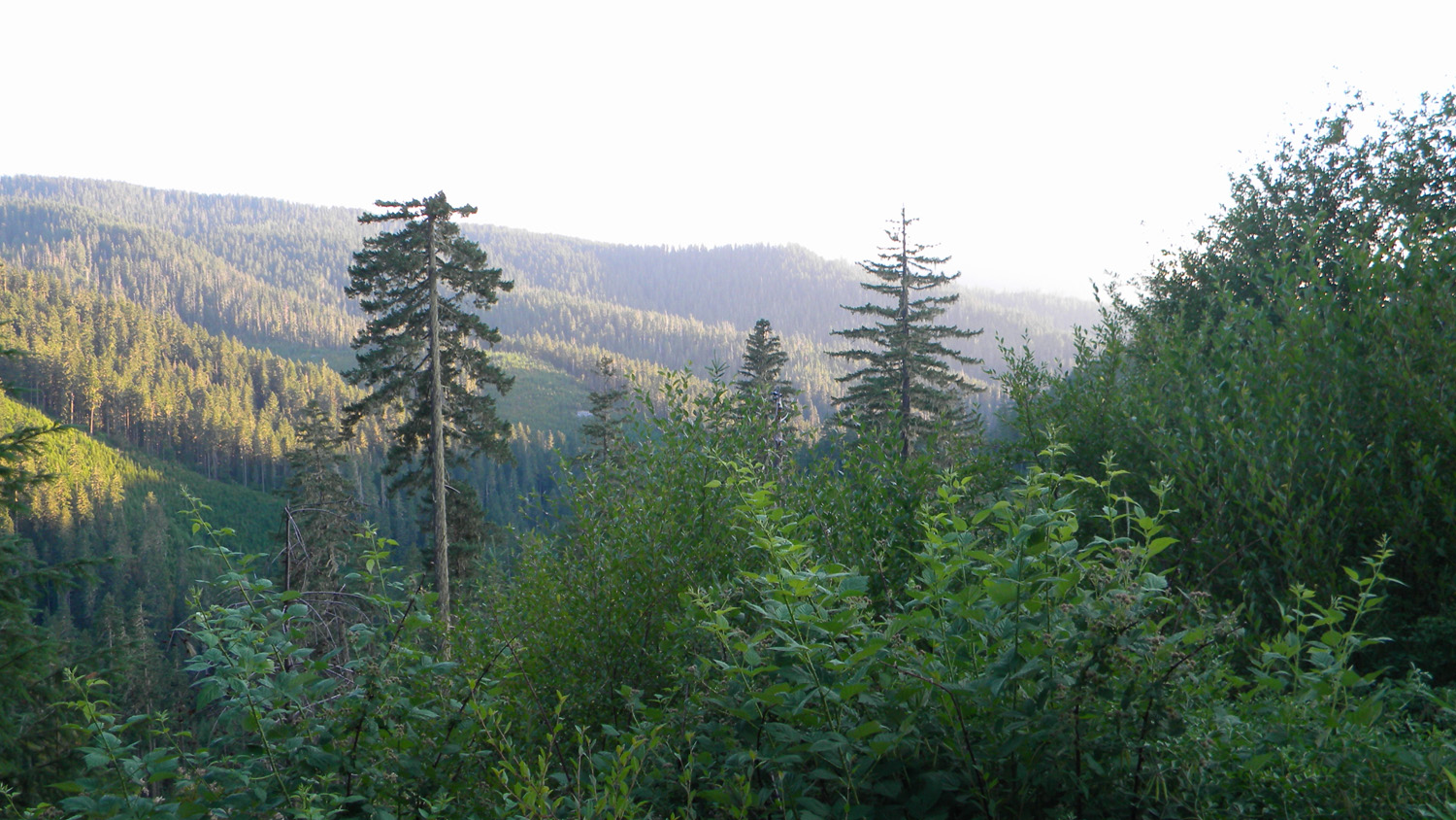
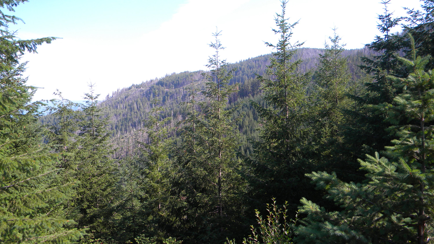
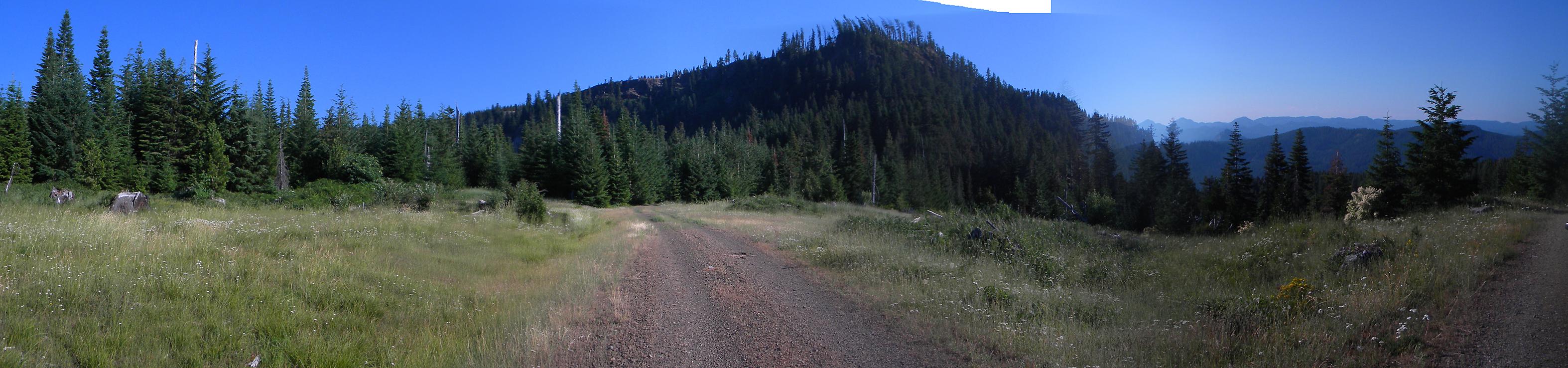
5826-5835_68_Road_View-360 |
||
5840-5843_68_Road_View-180 |
||
5844-5849_68_Road_View-180 |
||
5852-5857_68_Road_View-180 |
||
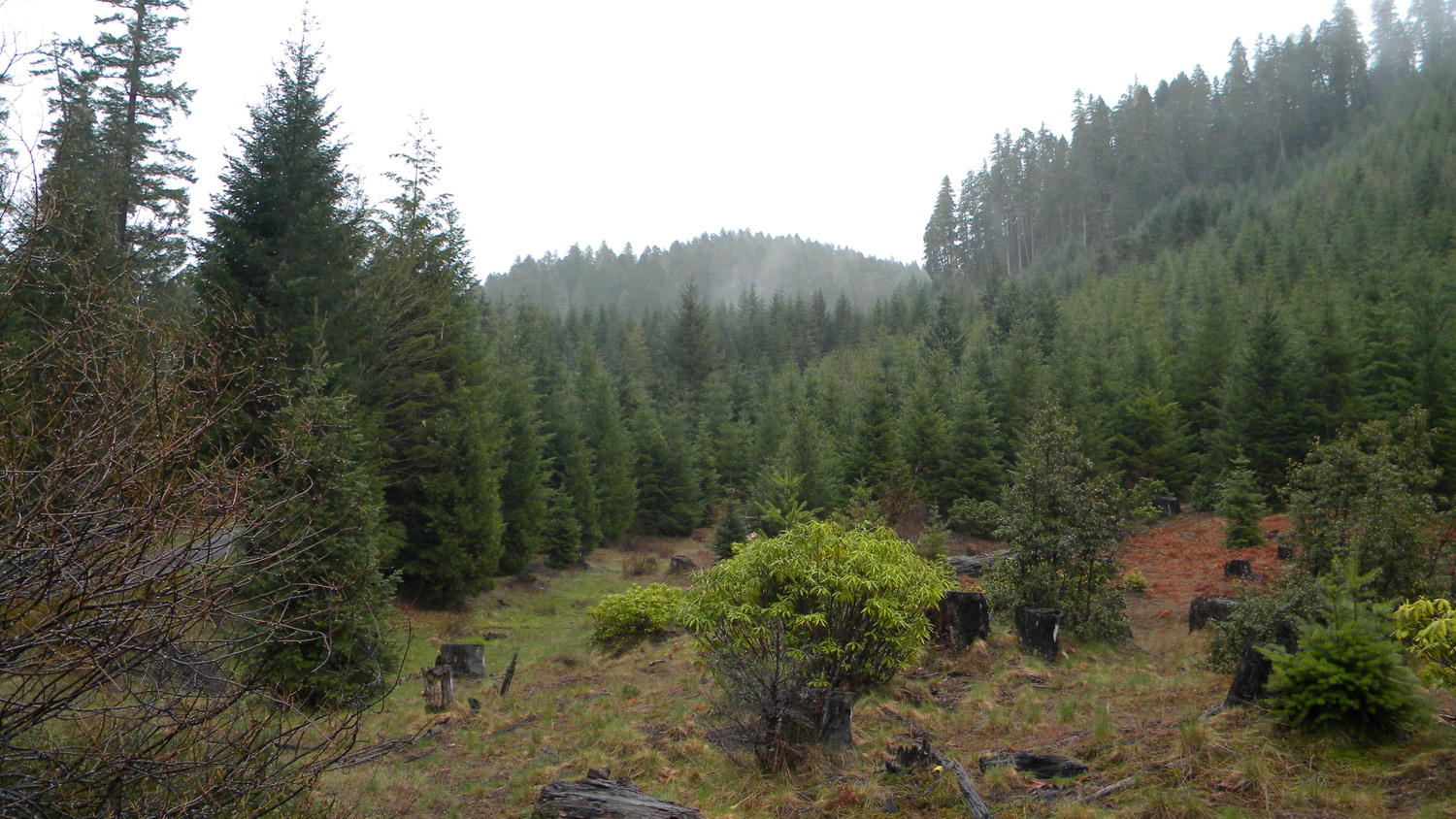
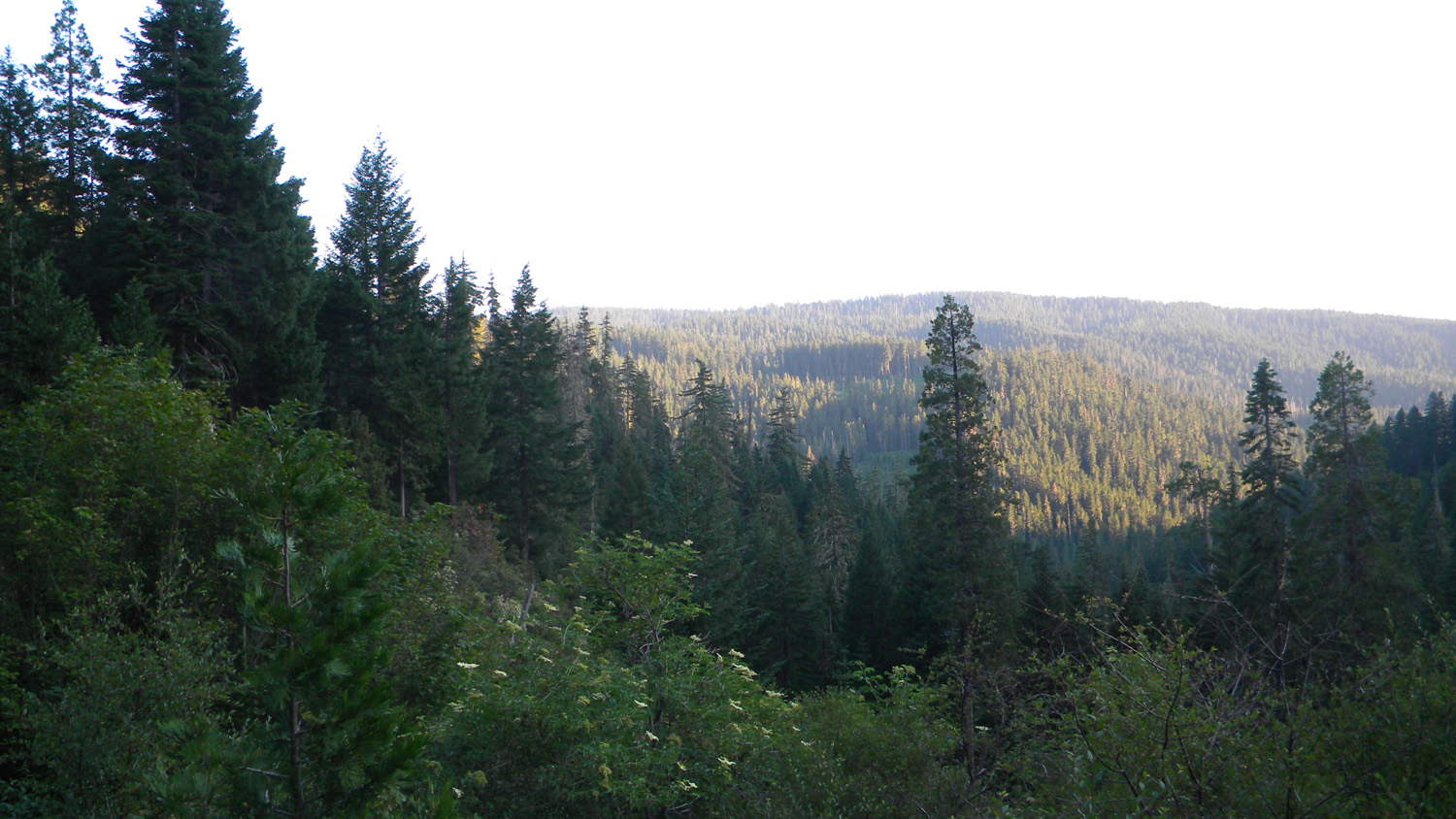
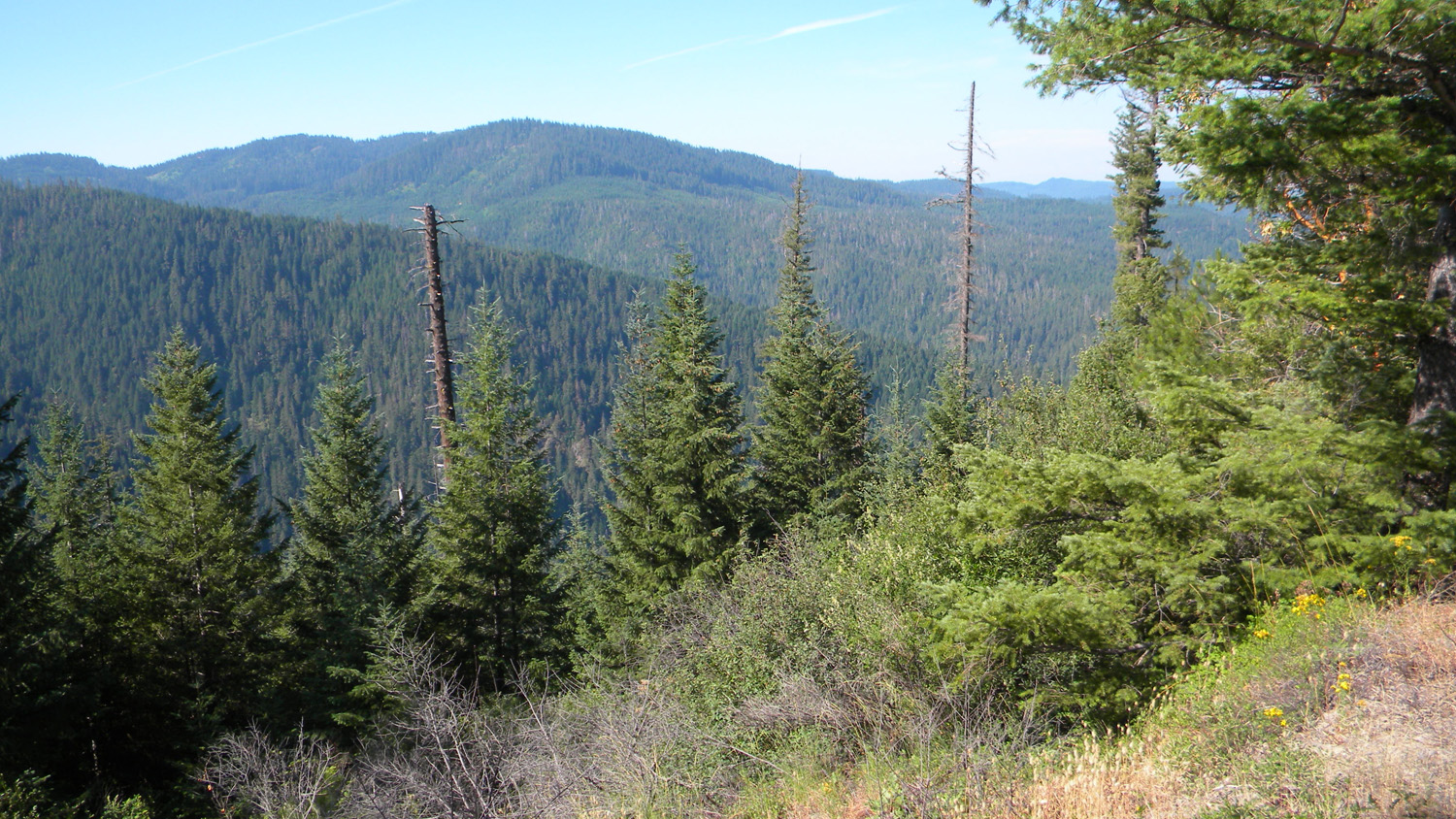
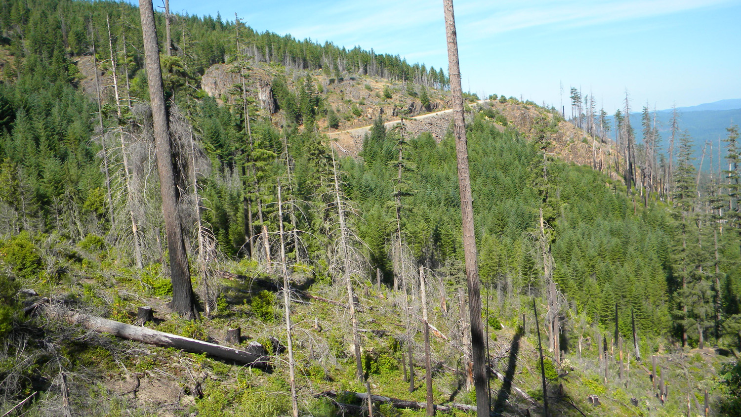
6266-6275_330_Road-360 |
||
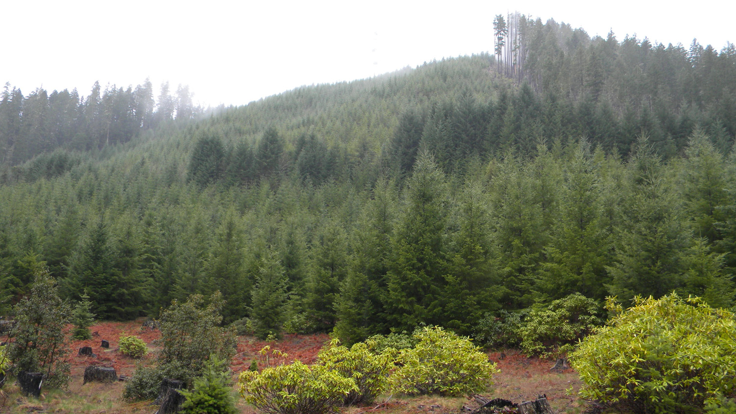
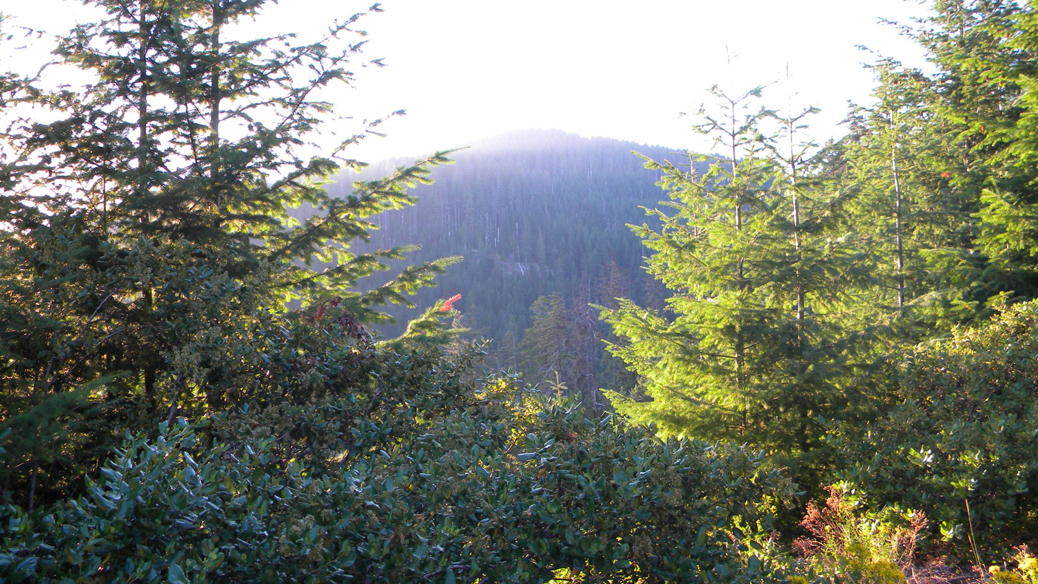
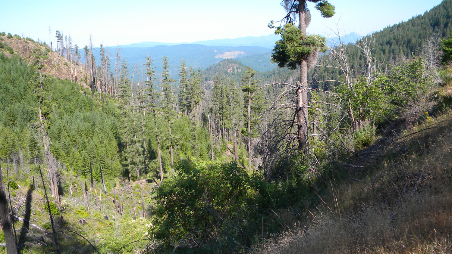
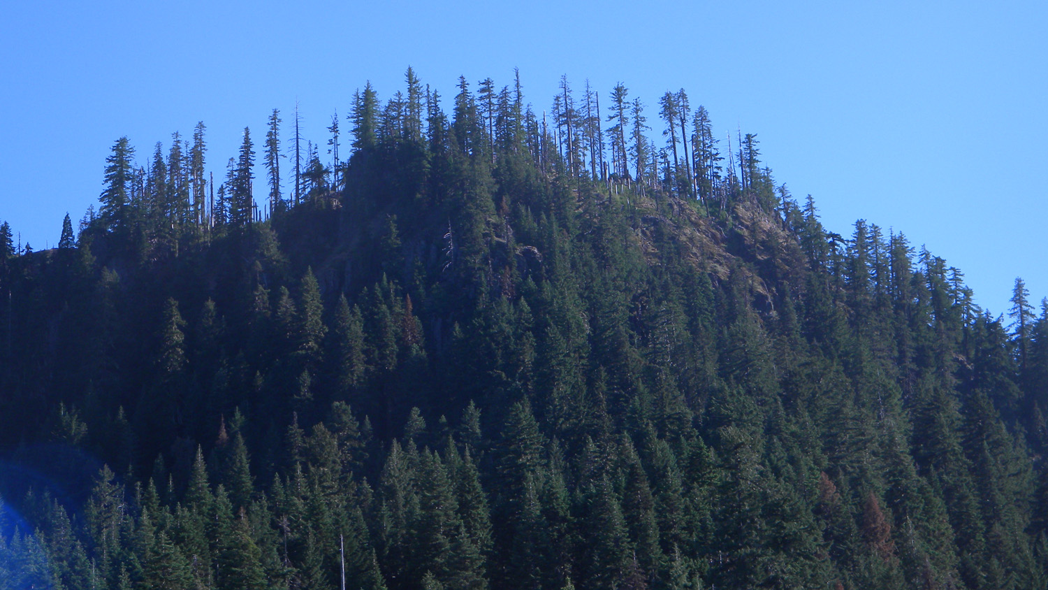
6277-6280_Abbott_Butte-180 |
 |
 |
 |
 |
 |
1647_250_Road |
1648_250_Road_View |
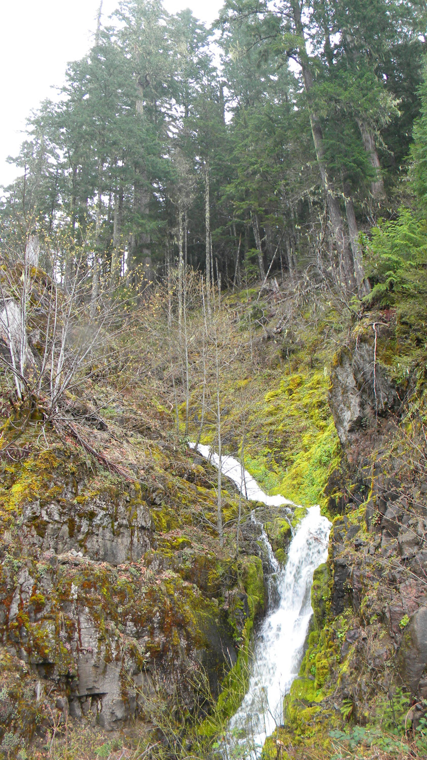
1658_Eden_Creek_Falls |
1658_Eden_Creek_Falls |
1660_100_Road |
 |
 |
 |
 |
 |
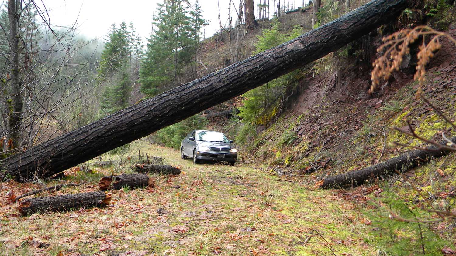
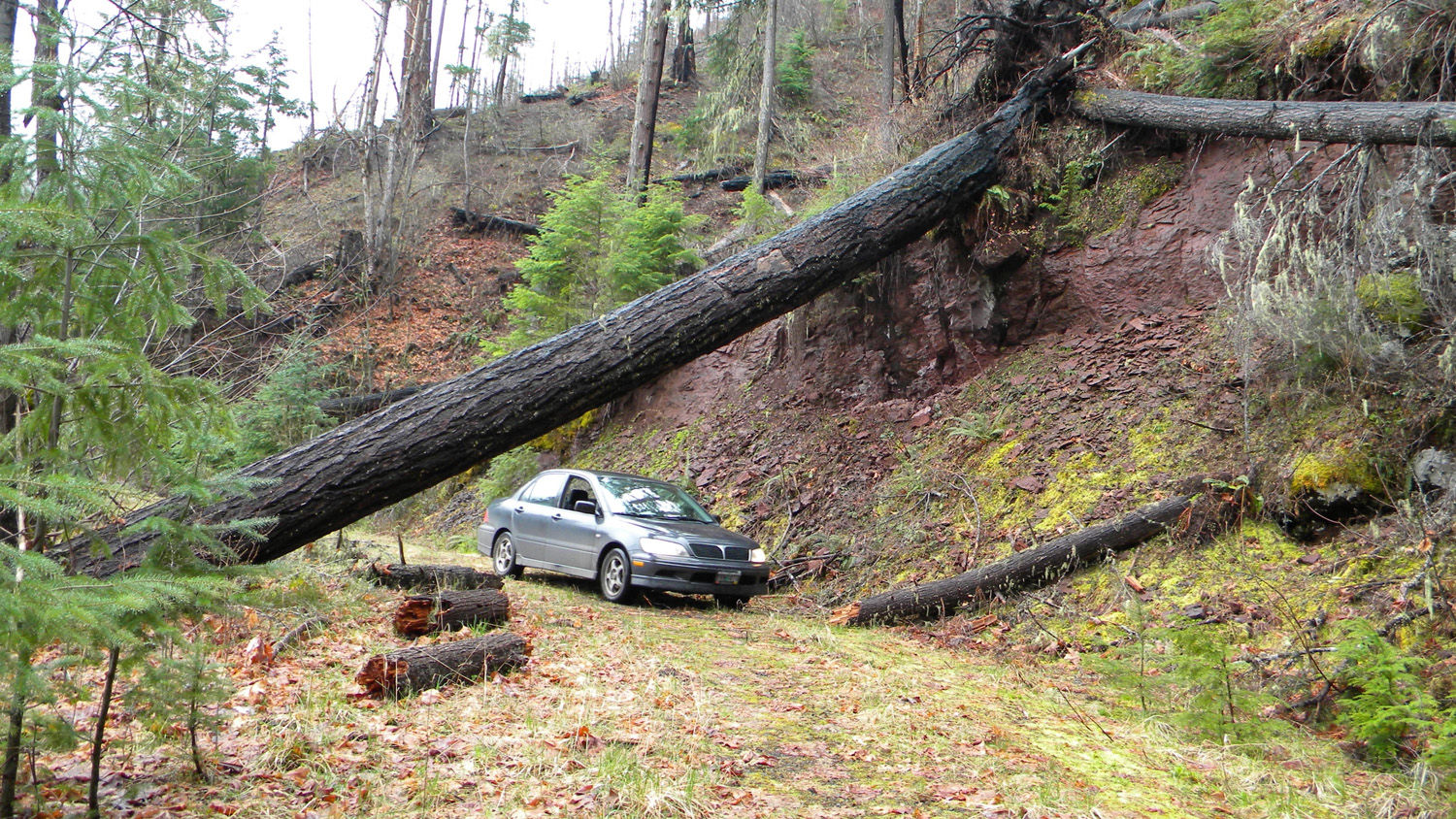
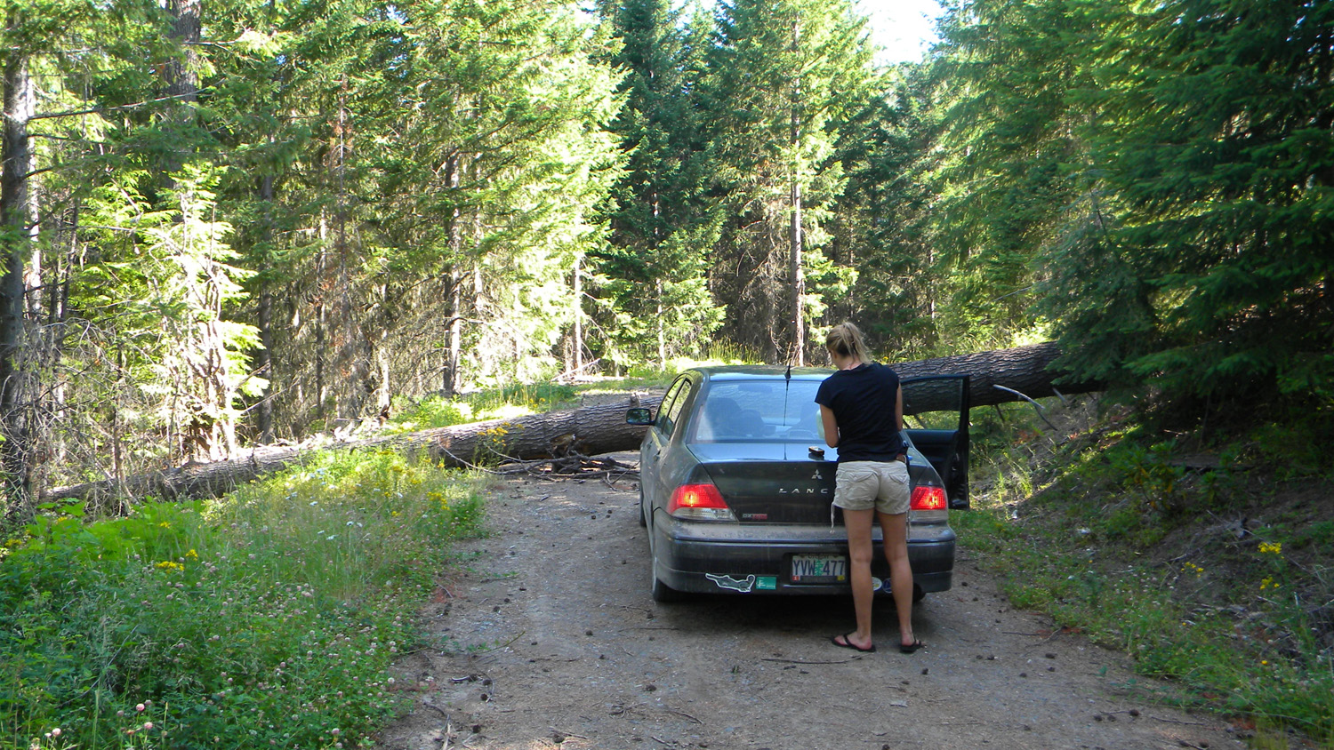
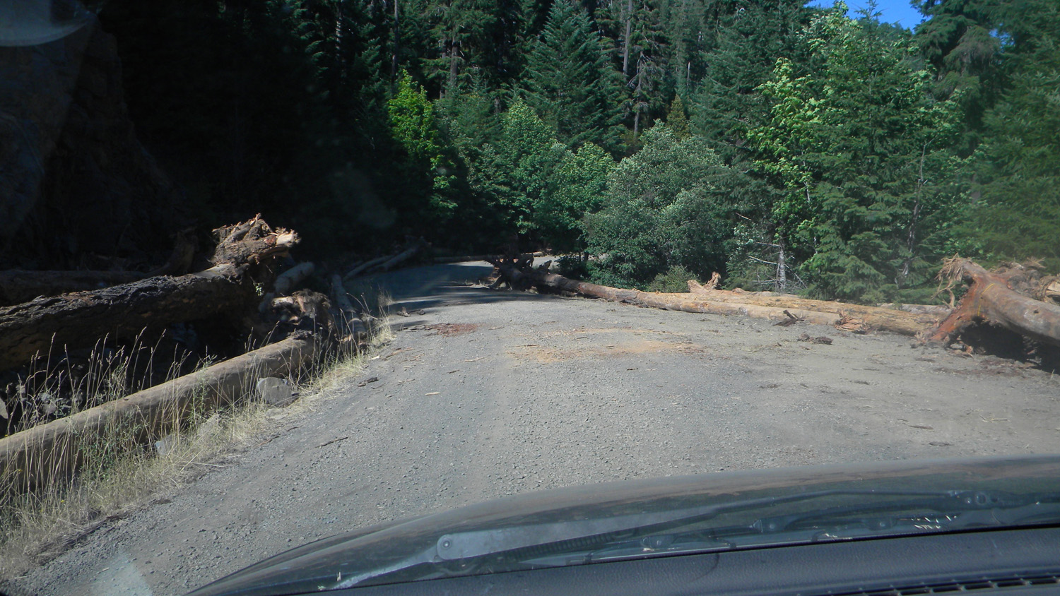
1663_100_Road_Blocked |
1664_100_Road |
1665_100_Road |
1666_Alder_Lane |
1667_Alder_Lane |
 |
 |
 |
 |
 |
1668_Alder_Lane |
1669_Eden_Falls |
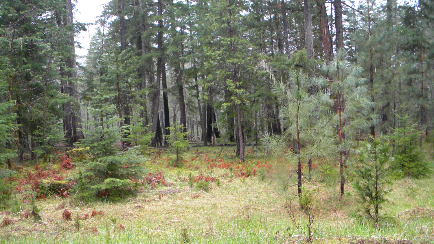
1720_Chinquapin_Meadow |
1722_Chinquapin_Meadow |
1723_Chinquapin_Meadow |
 |
 |
 |
 |
 |
1724_Chinquapin_Meadow |
1725_Chinquapin_Meadow |
1726_Chinquapin_Meadow |
1727_Landmark |
1730_310_Road_View |
 |
 |
 |
 |
 |
1731_310_Road_View |
1732_310_Road_View |
1733_310_Road_View |
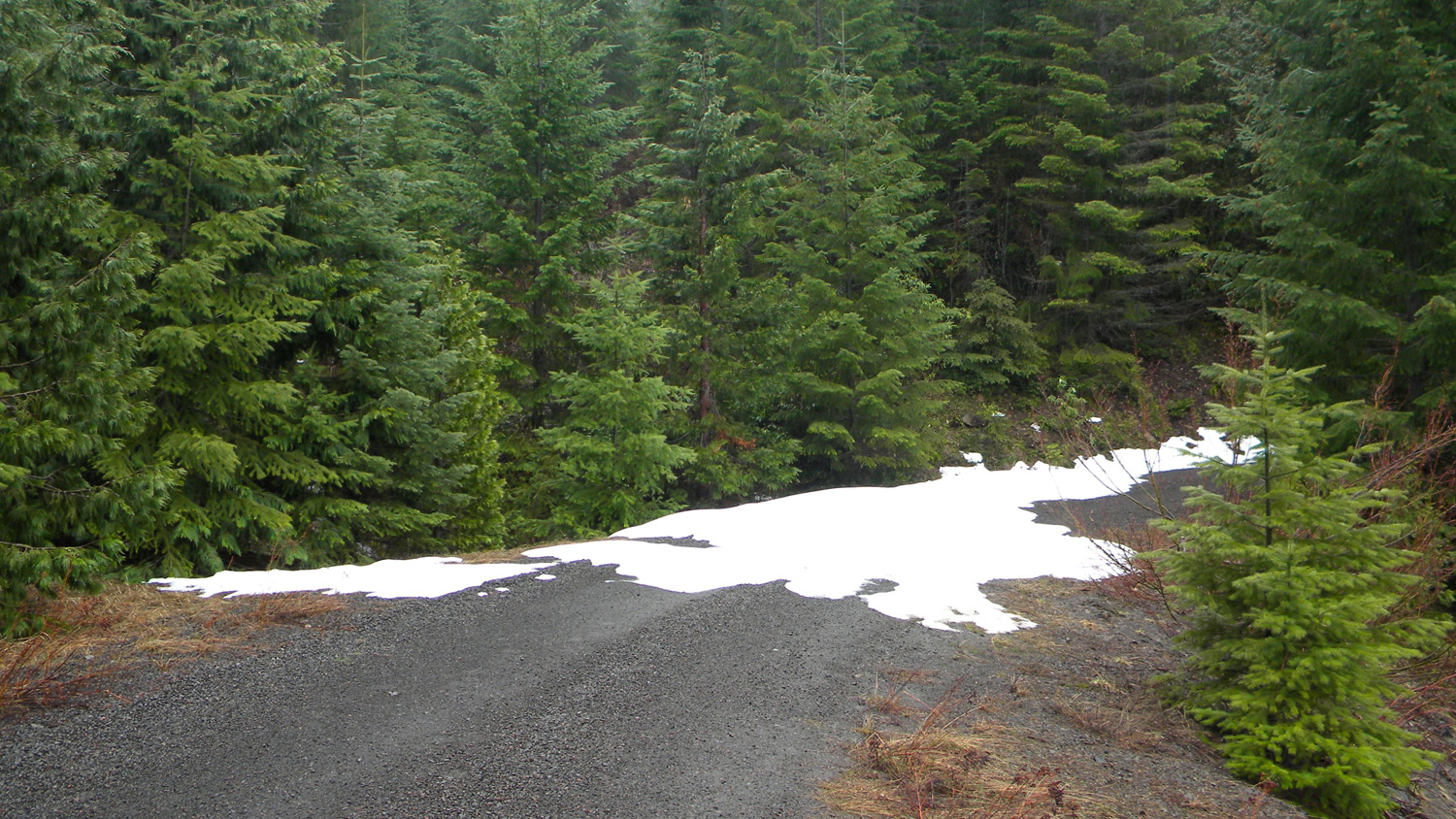
1734_310_Road_Snow |
1736_Bracken_Fern |
 |
 |
 |
 |
 |
5412_Old_Road |
5413_Old_Trail |
5414_Old_Trail |
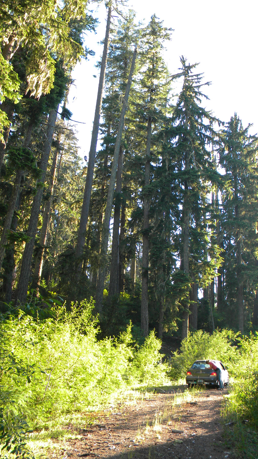
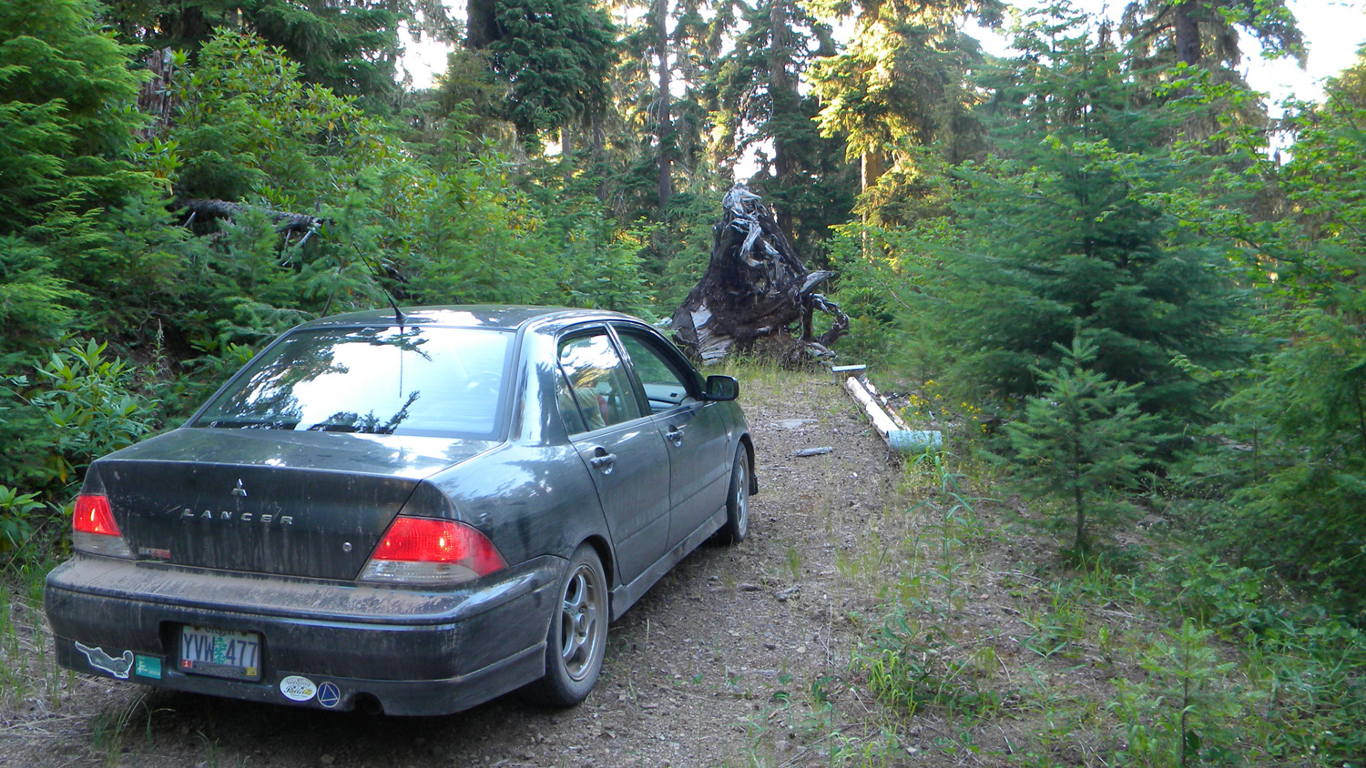
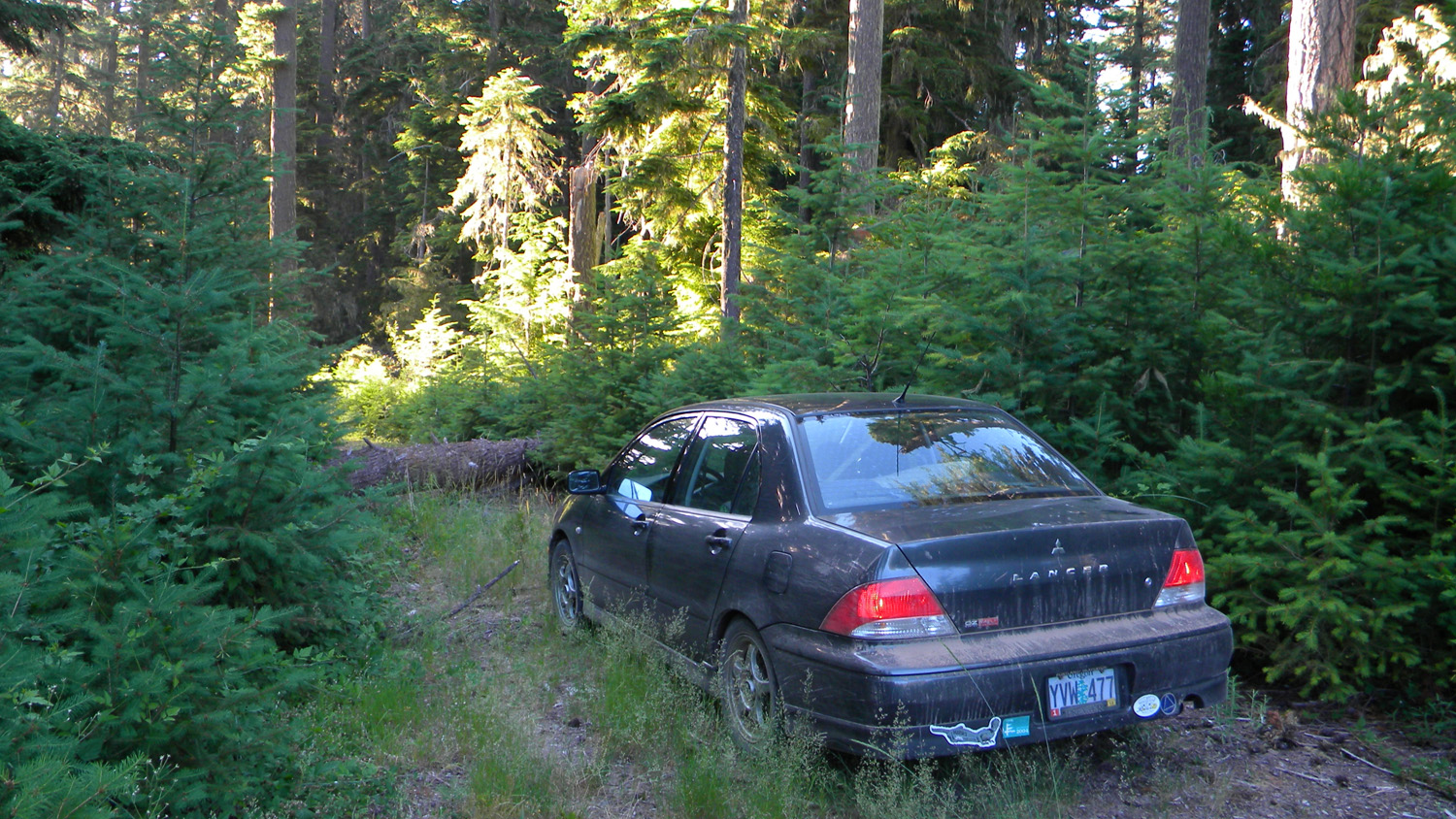
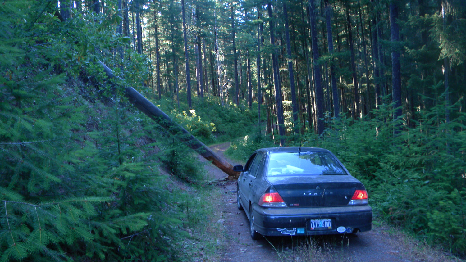
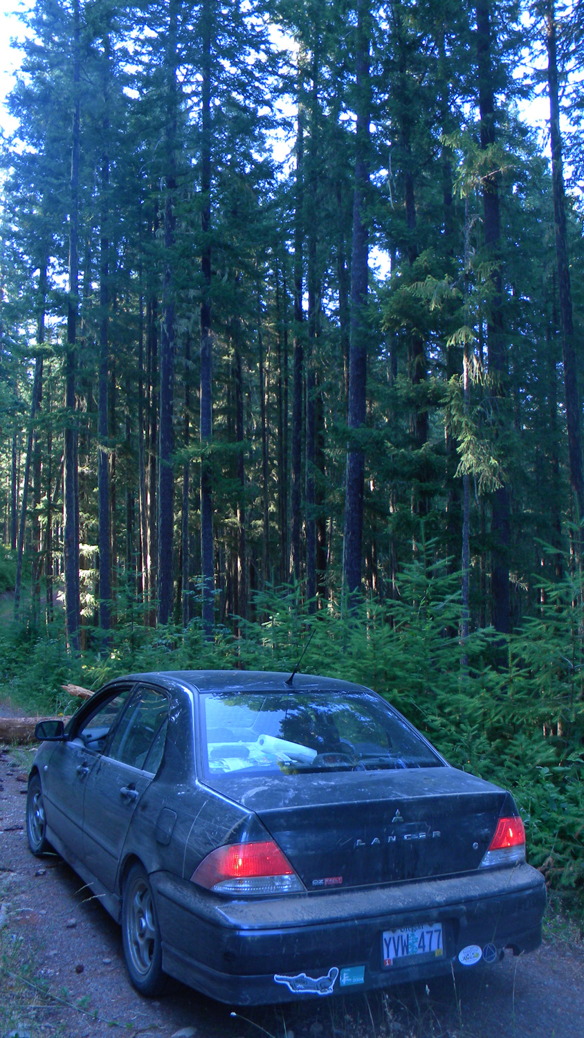
5786_900_Road_Road |
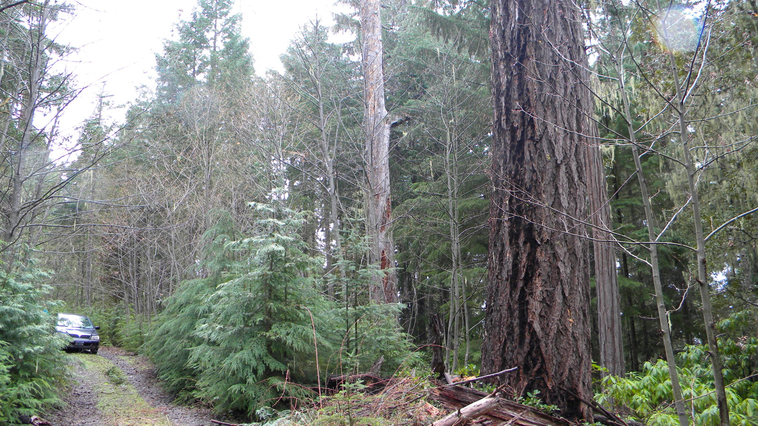
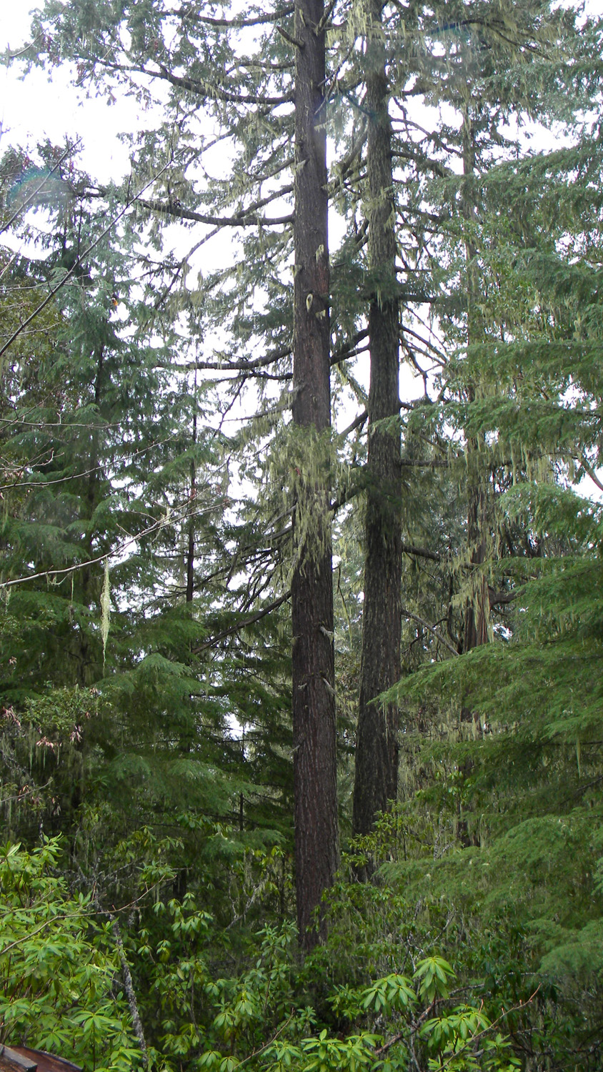
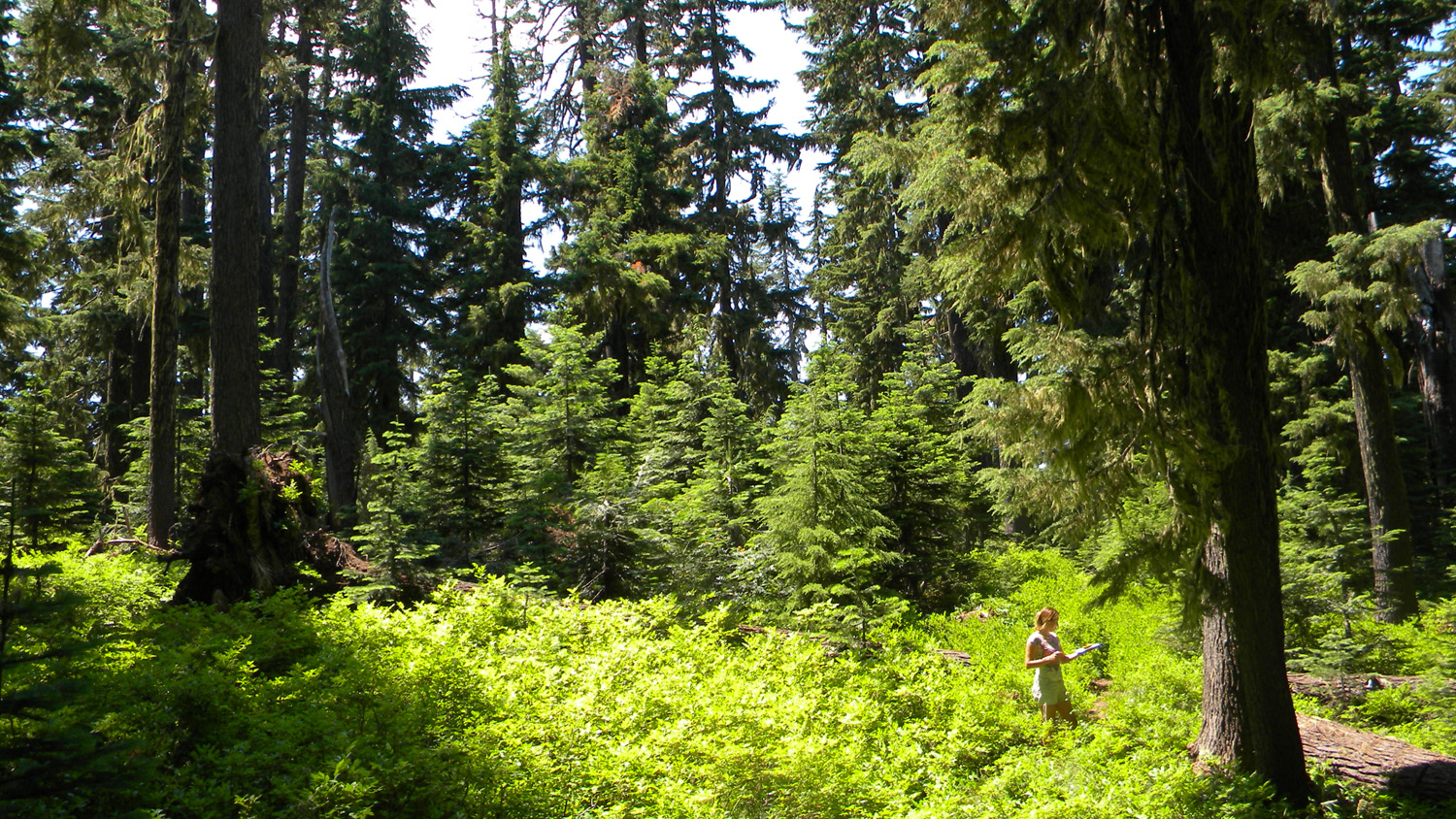
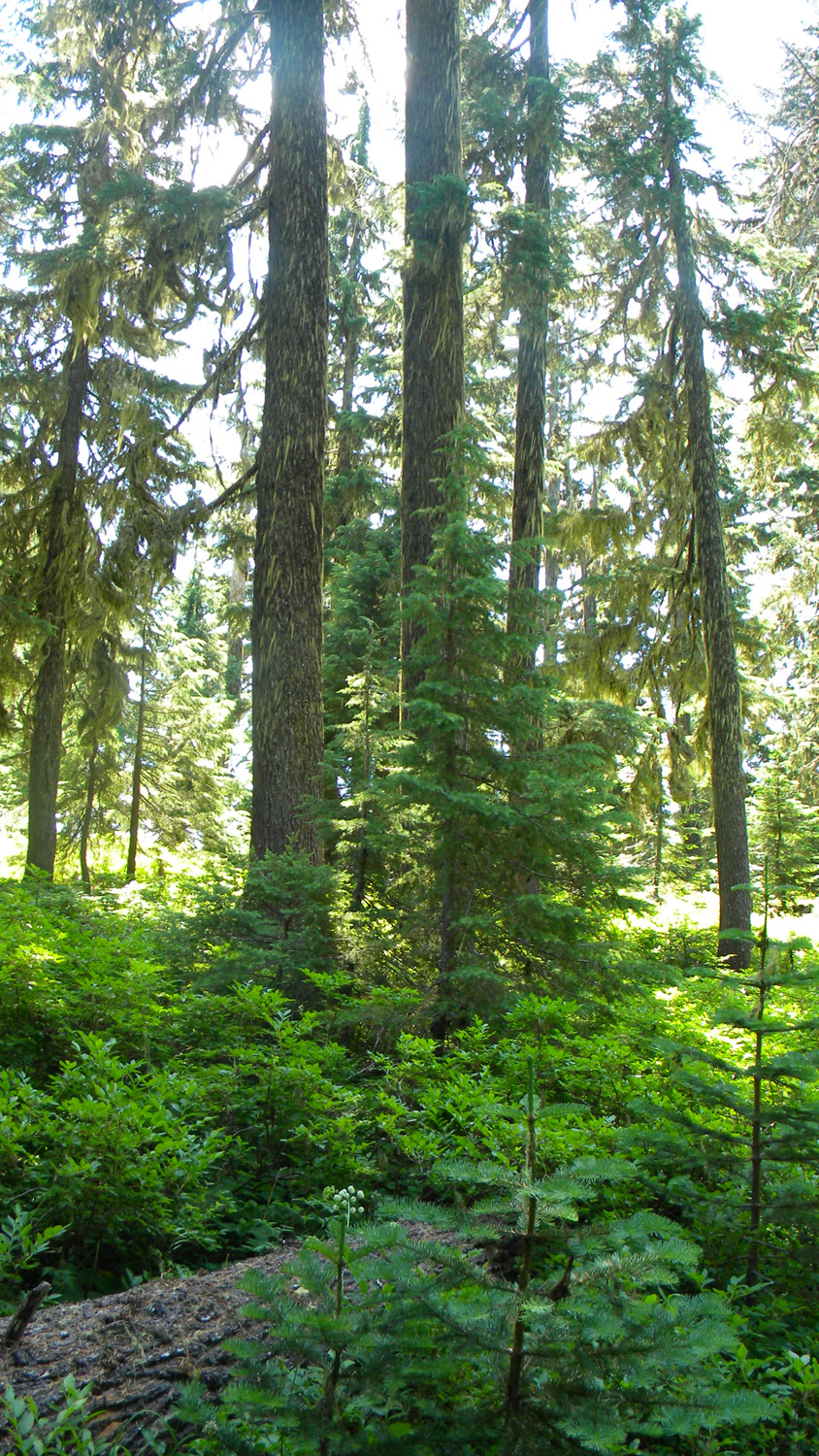
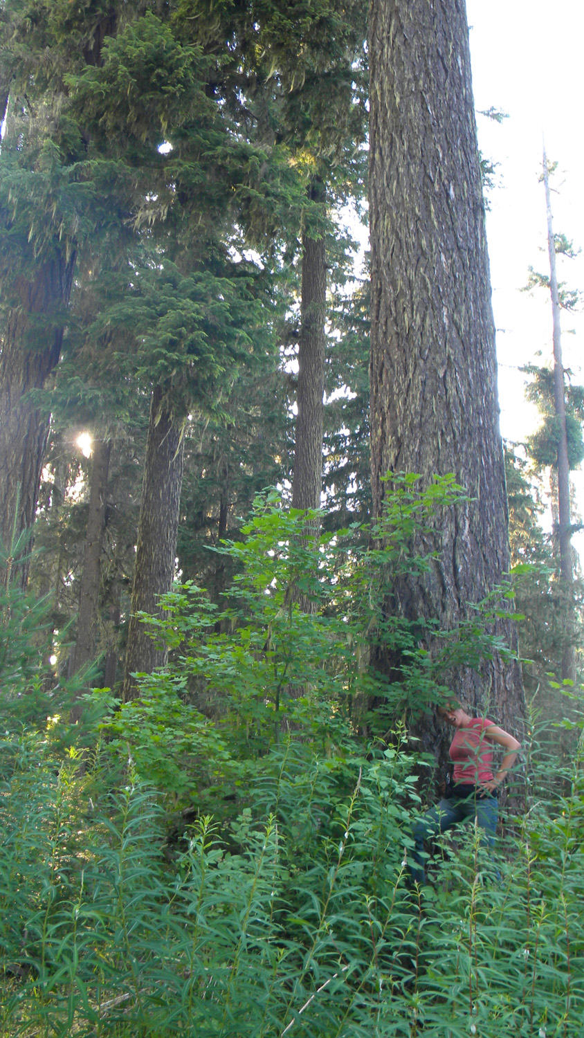
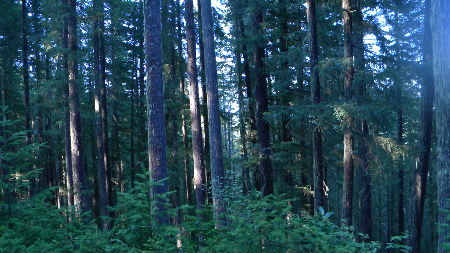
5787_Old_Growth |
 |
 |
 |
 |
 |
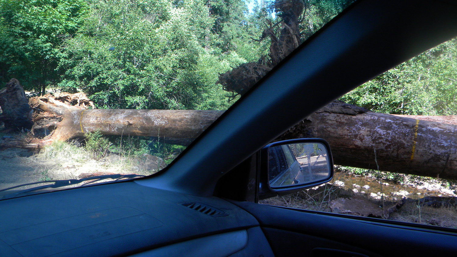
5788_940_Road_Blocked |
5789_920_Road_Blocked |
5790_900_Road_View |
5791_900_Road_View |
5793_900_Road_View |
 |
 |
 |
 |
 |
5794_900_Road_View |
5800_900_Road |
5801_700_Road_Plants |
5804_700_Road |
5805_68_Road_View |
 |
 |
 |
 |
 |
5806_68_Road_View |
5808_68_Road_View |
5813_68_Road_View |
5817_68_Road_View |
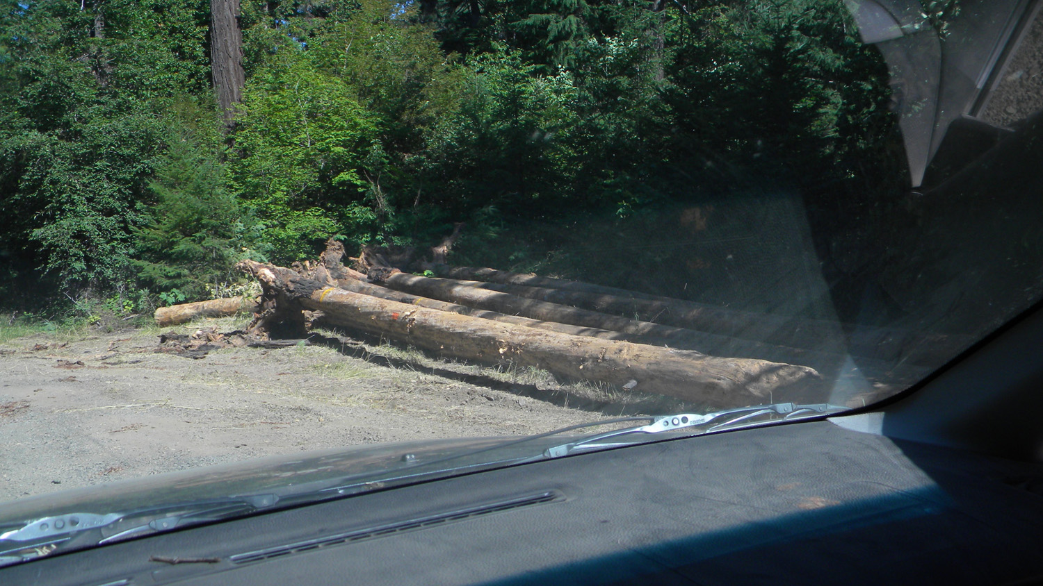
5820_500_Road_Blocked |
 |
 |
 |
 |
 |
5821_500_Road_View |
5822_500_Road_View |
5823_500_Road_View |
5824_500_Road_View |
5825_500_Road_View |
 |
 |
 |
 |
 |
5836_68_Road_View |
5837_68_Road_View
|
5838_68_Road_View
|
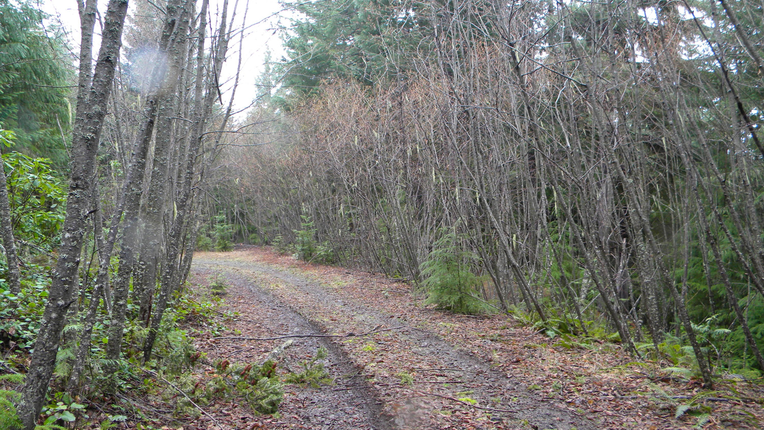
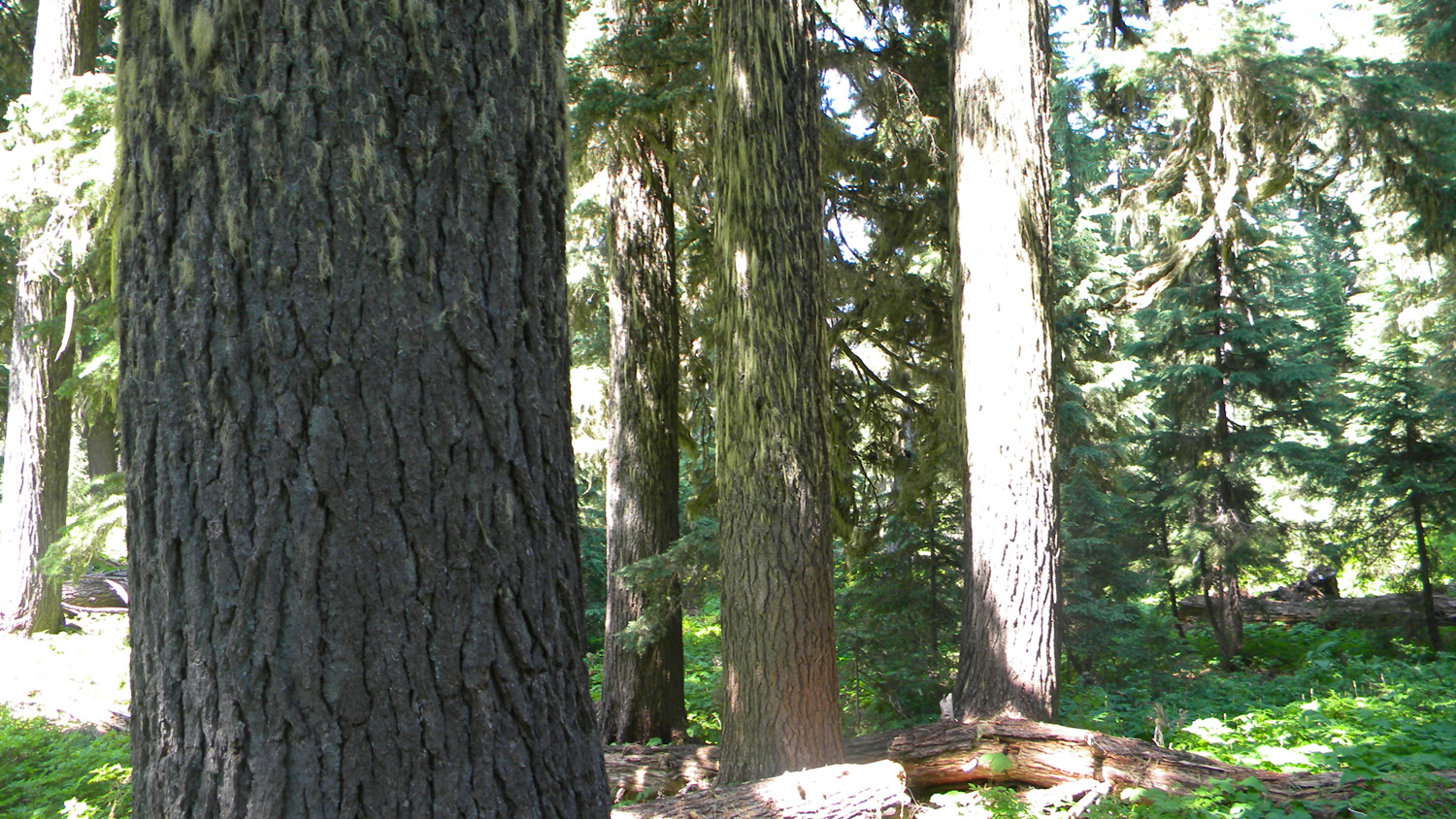
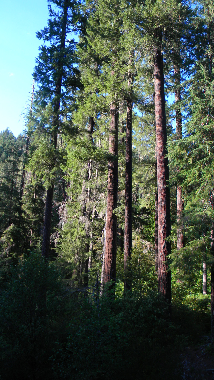
5839_68_Road_Trees
|
5843_68_Road_View
|
 |
 |
 |
 |
 |
5850_68_Road_View
|
5851_68_Road_View
|
5858_68_Road_View
|
5859_68_Road_View
|
5860_68_Road_View
|
 |
 |
 |
 |
 |
5862_68_Road_View
|
5863_68_Road_View
|
5864_68_Road_View
|
5865_Cougar_Butte
|
5866_68_Road_View
|
 |
 |
 |
 |
 |
5867_68_Road_View
|
5868_68_Road_View
|
5869_68_Road_View
|
5870_68_Road_View
|
5871_68_Road_View
|
 |
 |
 |
 |
 |
5872_Cougar_Butte
|
5873_68_Road_View
|
5874_68_Road_View
|
5876_68_Road_View
|
6253_Fish_Logs
|
 |
 |
 |
 |
 |
6254_Fish_Log |
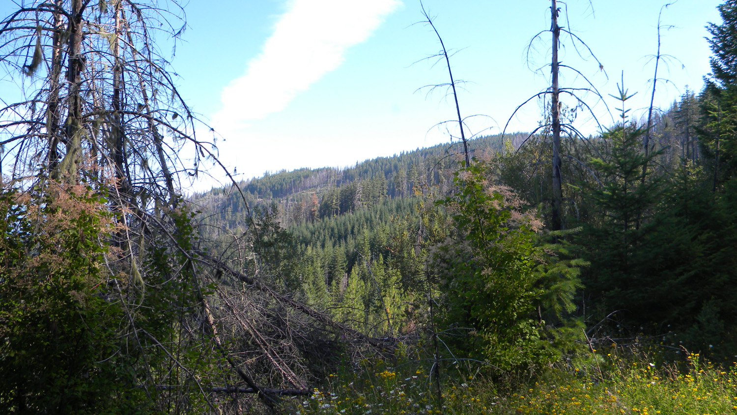
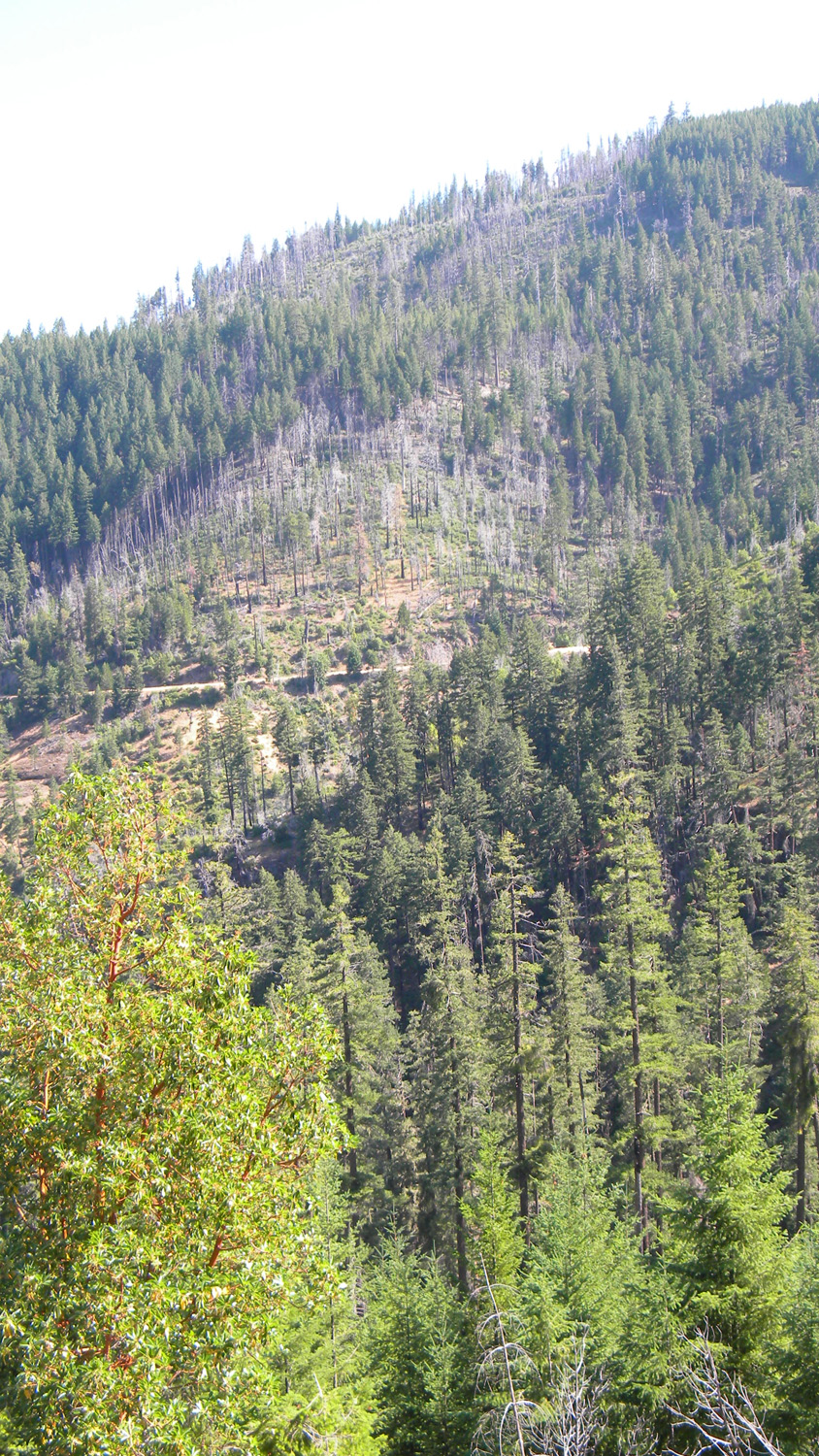
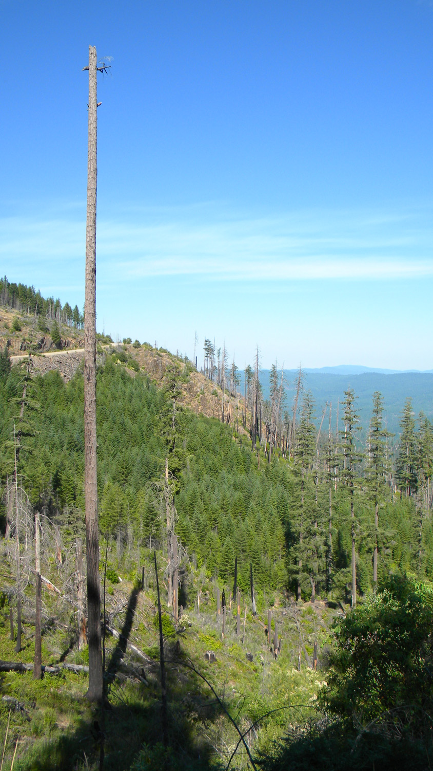
6255_Dead_Trees |
6256_Fish_Logs |
6257_Tagged_Logs |
6258_Fish_Logs |
 |
 |
 |
 |
 |
6259_Shovel |
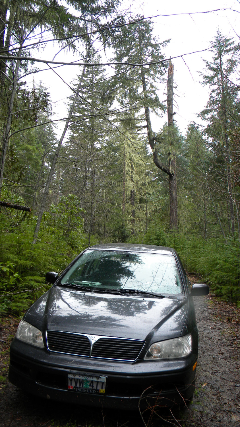
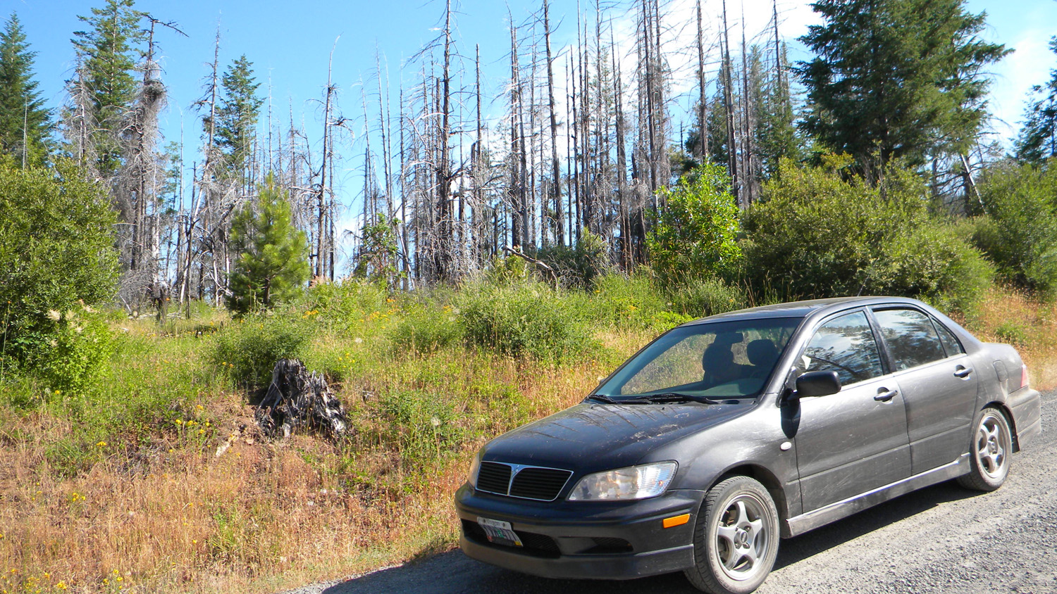
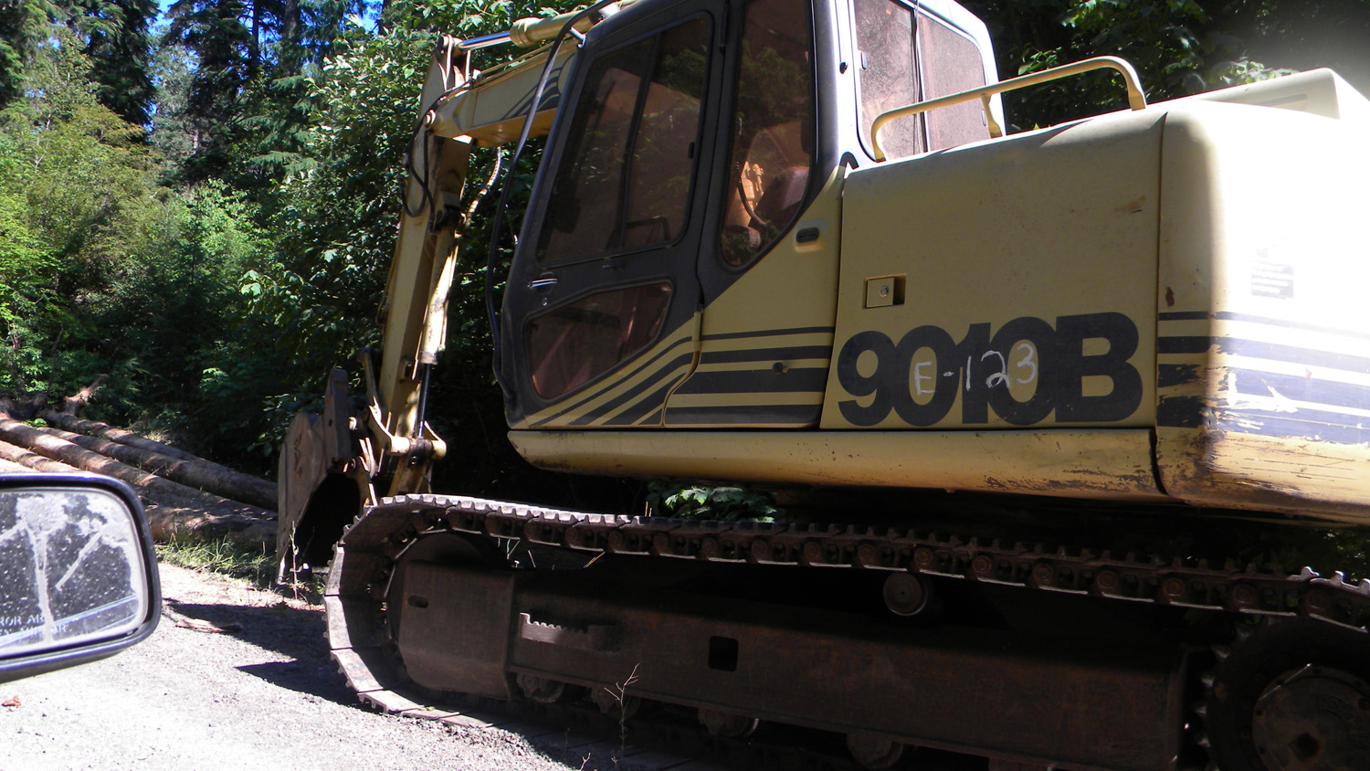
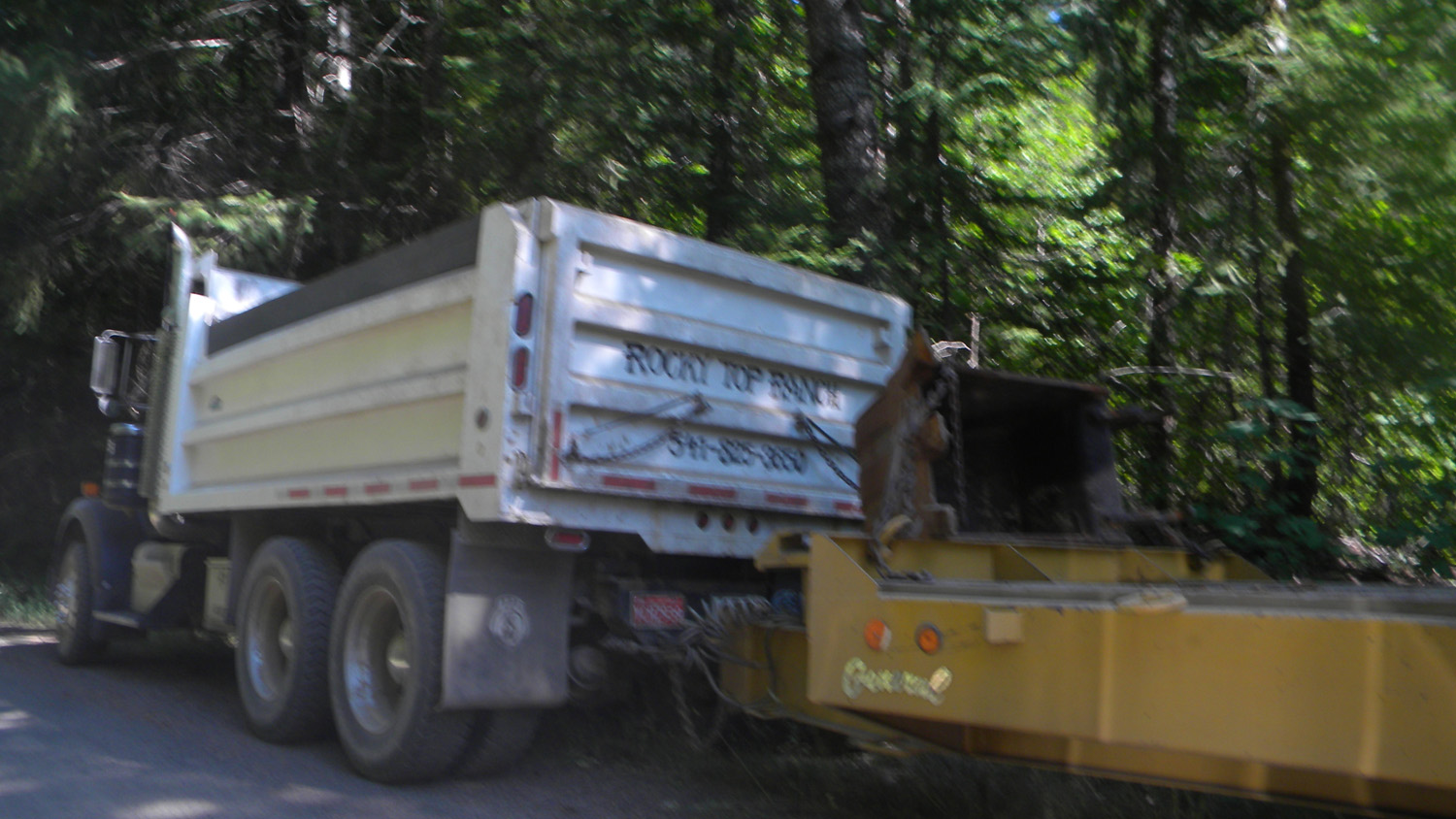
6260_Truck |
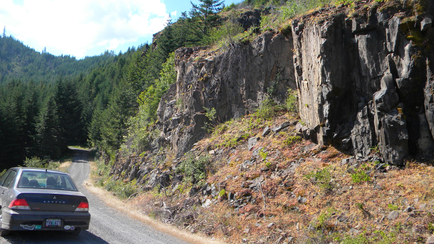
6261_310_Road |
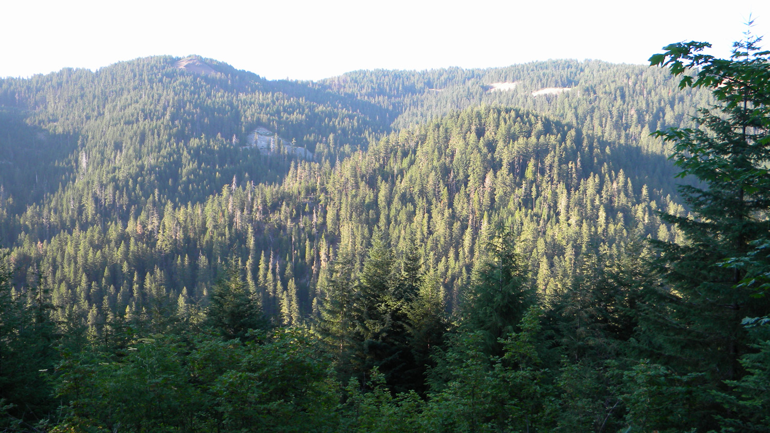
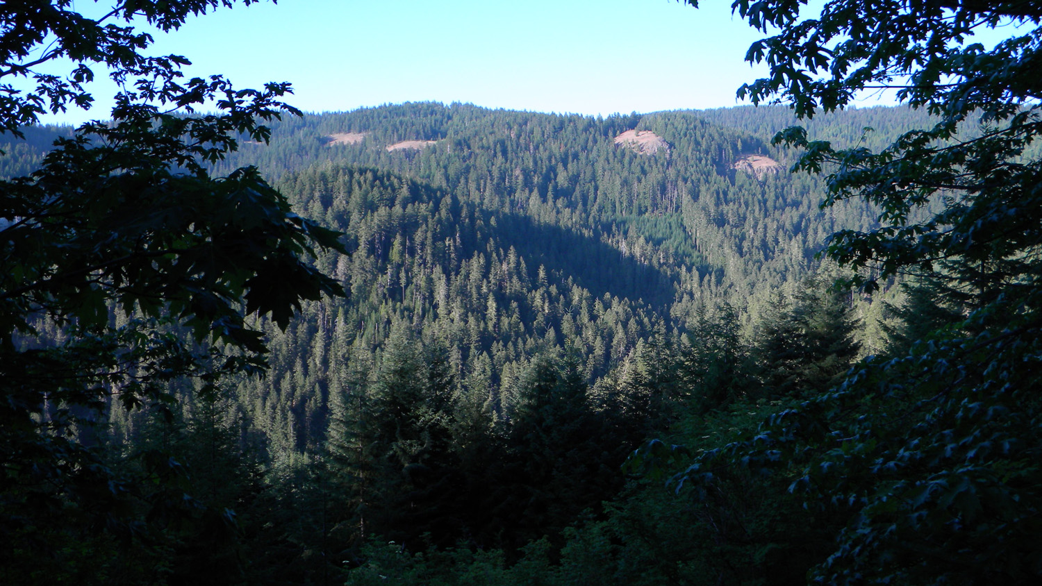
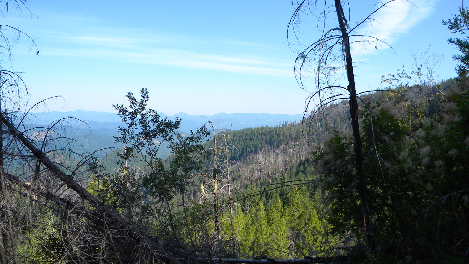
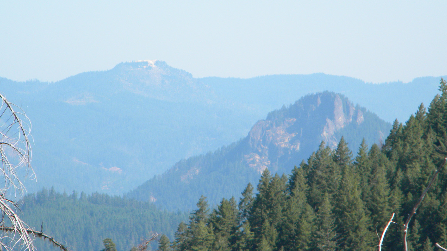
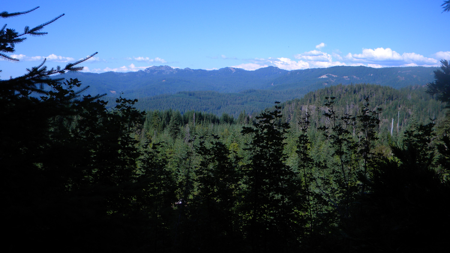
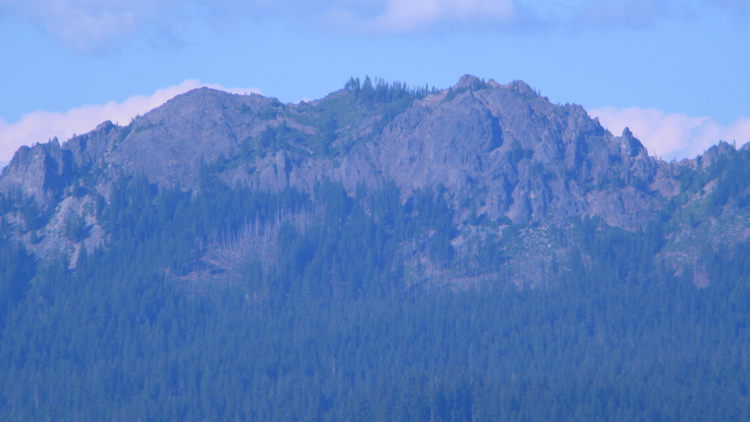
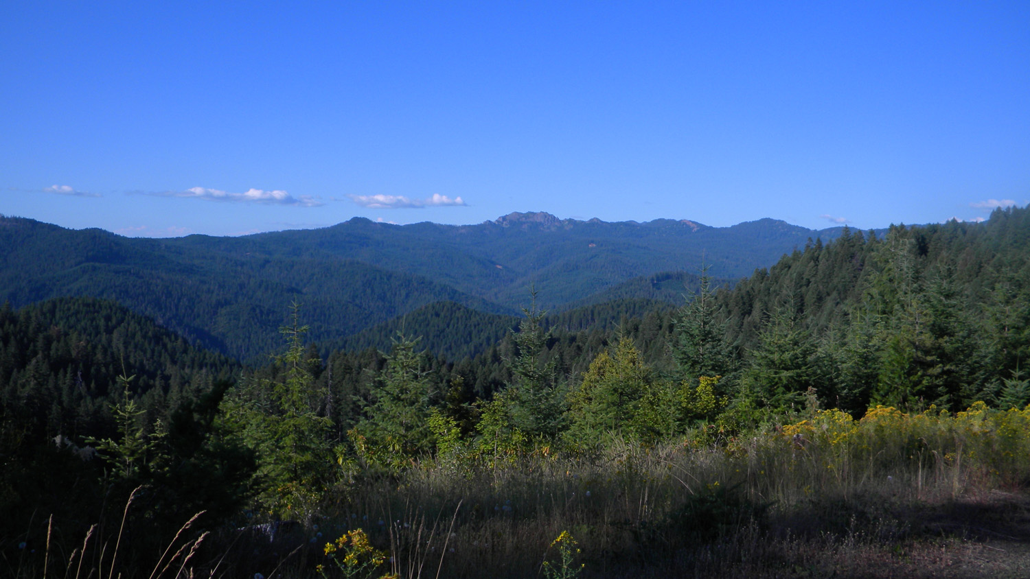
6262_Grasshopper_Mountain |
6263_310_Road_End
|
 |
 |
 |
 |
 |
6264_310_Road_End
|
6265_310_Road_End
|
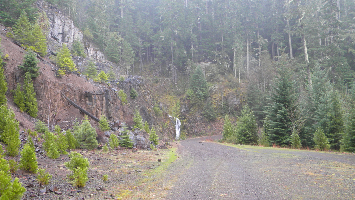
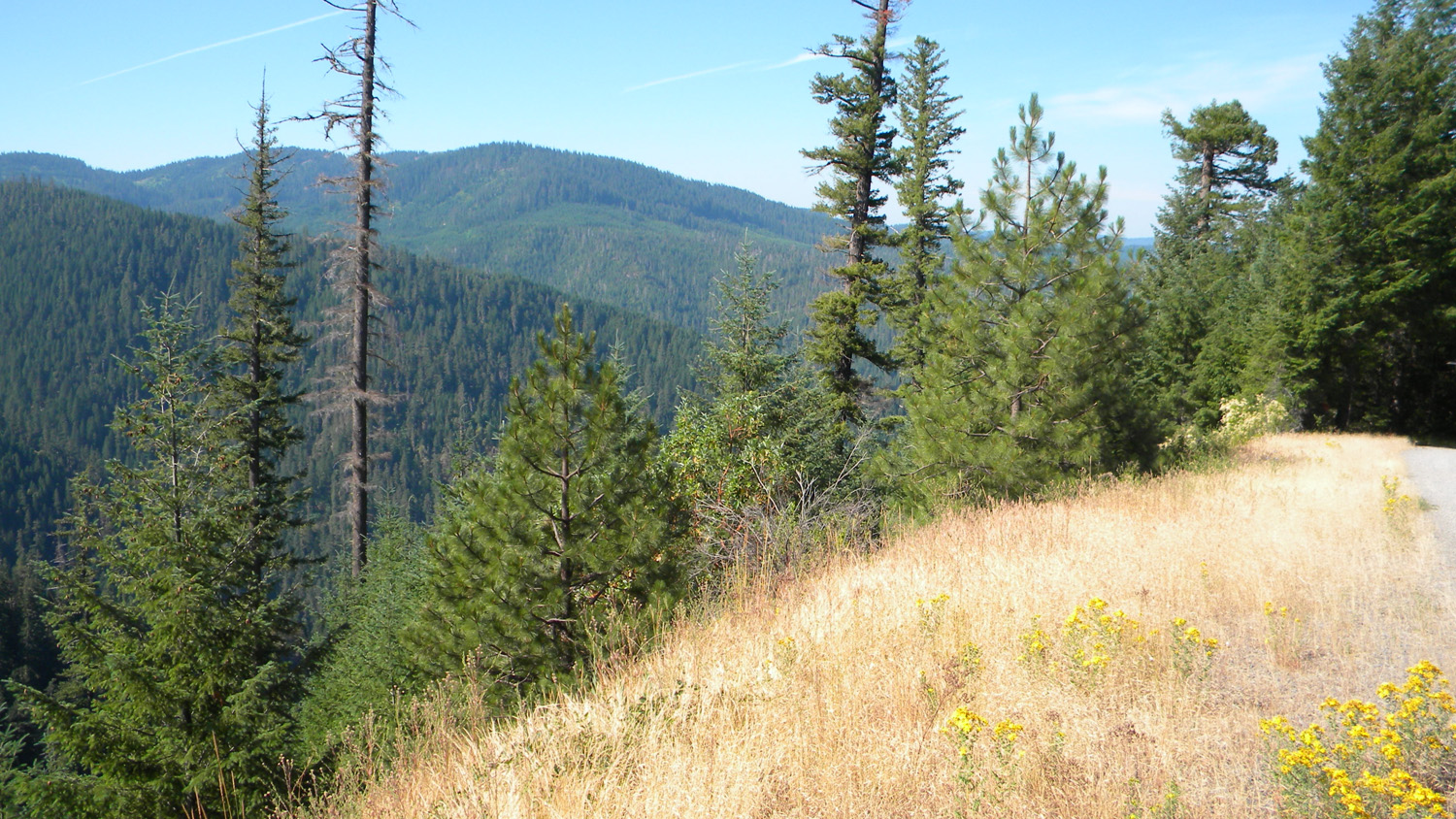
6276_330_Road_View
|
6281_331_Road_View |
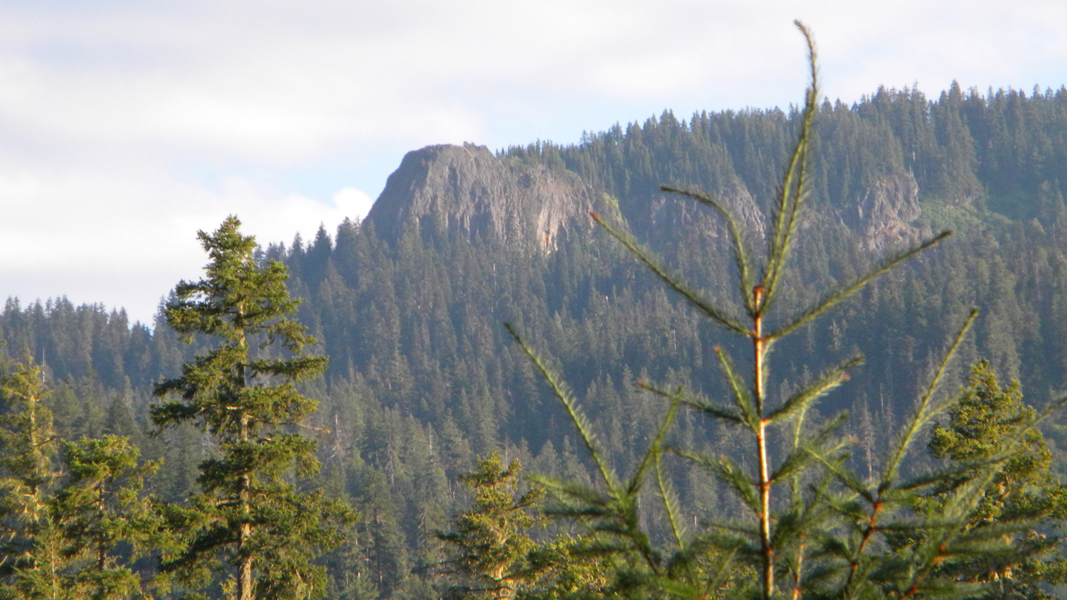
6282_Abbott_Butte |
 |
 |
 |
 |
 |
6283_340_Road_View |
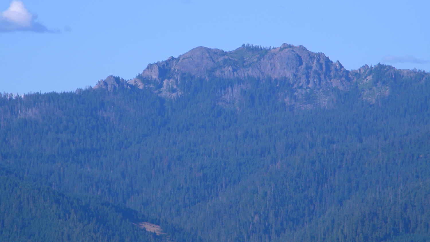
6284_Grasshopper_Mountain |
6285_340_Road_View |
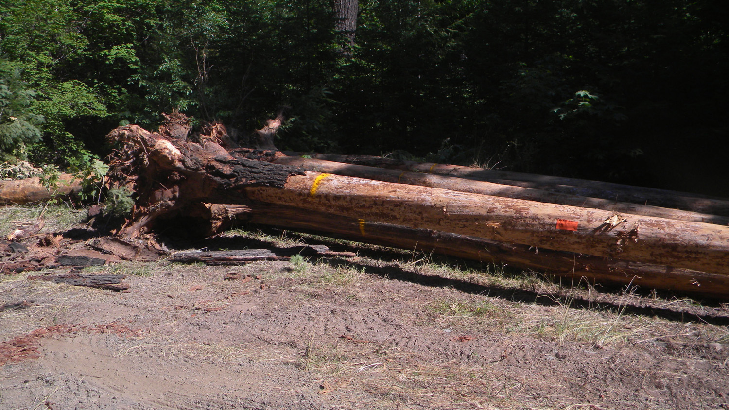
6286_340_Road_Blocked |
6288_340_Road_Trees |
 |
 |
 |
 |
 |
6289_340_Road_Blocked |
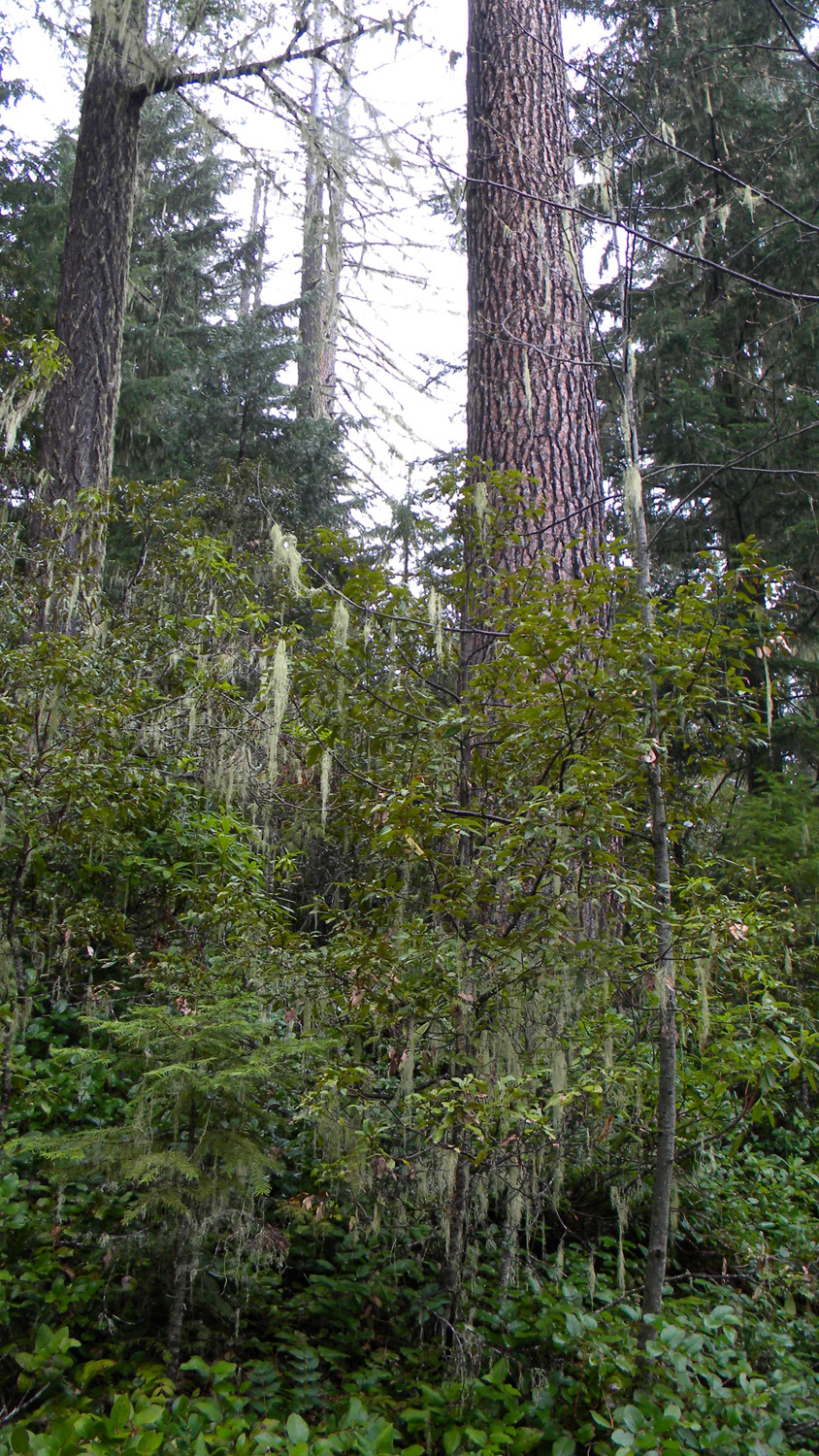
6290_Abbott_Creek_Trees |
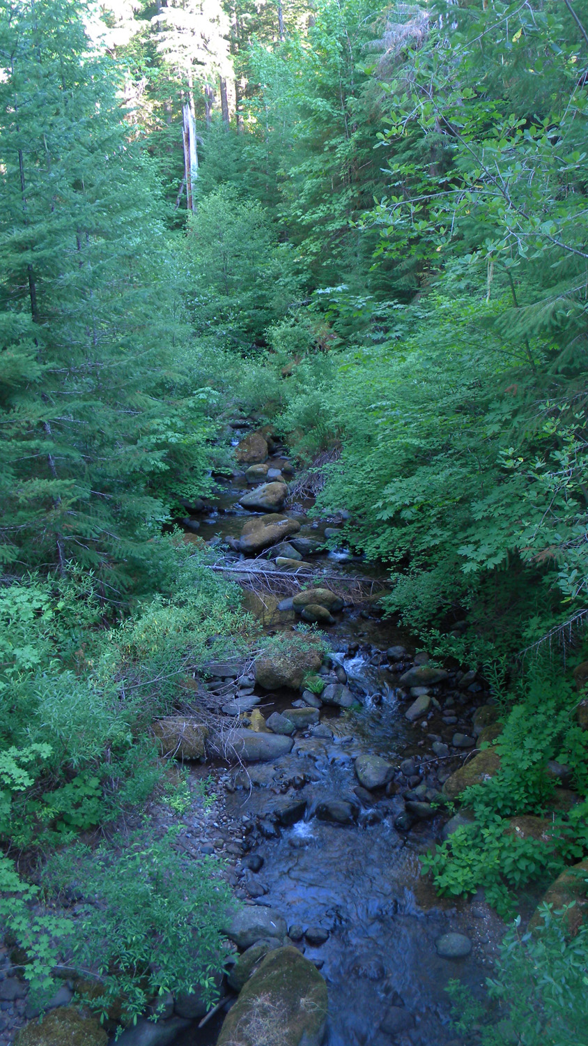
6291_Abbott_Creek |
6292_Abbott_Creek |
6303_360_Road_View |
 |
 |
 |
 |
|
6305_360_Road_View |
6306_360_Road_View |
6309_360_Road |
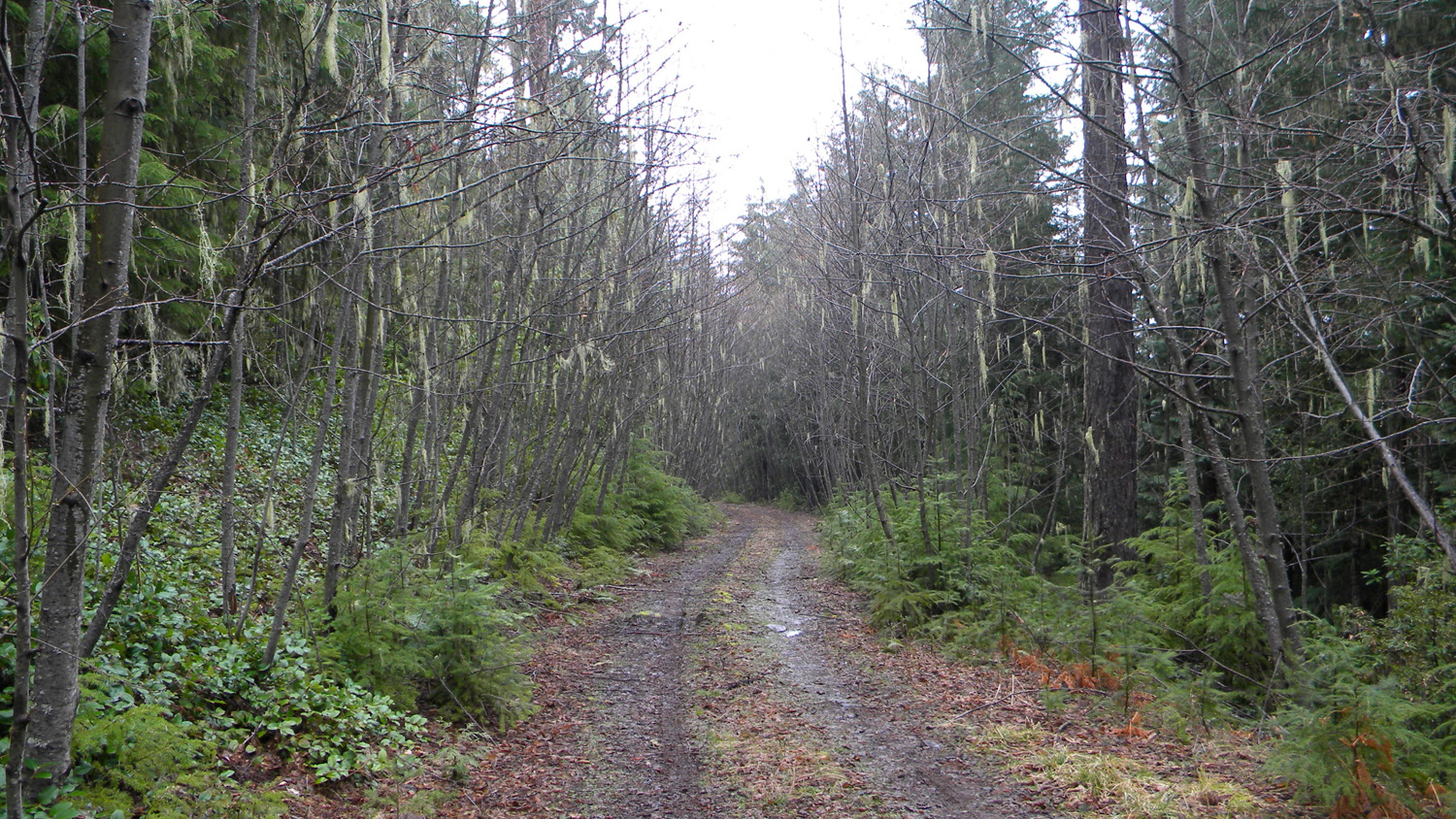
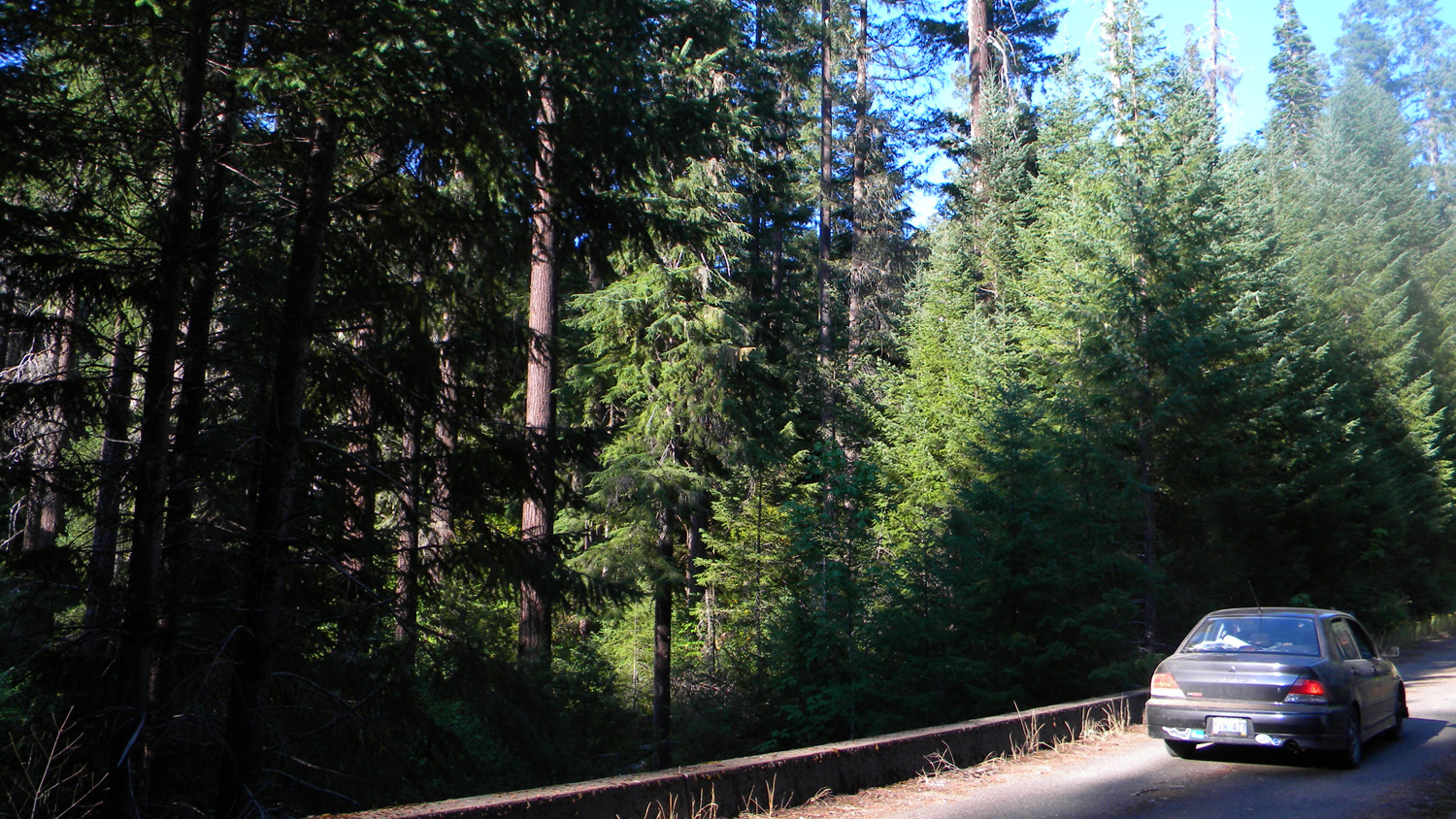
6310_360_Road_Trees |
![]()
© 2010, 2020 Oregon Websites & Watersheds Project, Inc. and NW Maps Co.