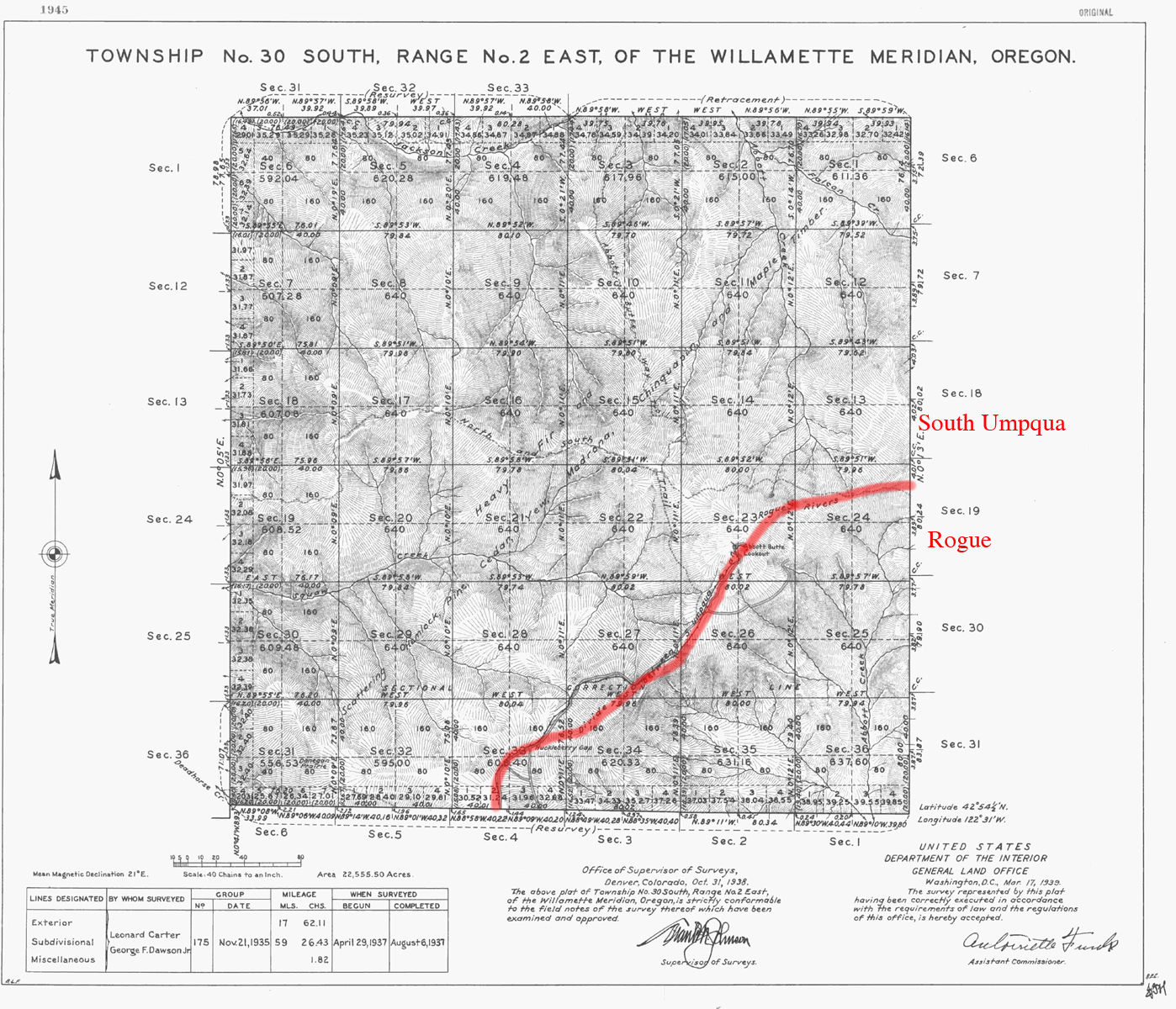
South Umpqua River
Tsp. 30 S., Rng. 2 E.
1938 General Land Office Survey Index
 |
1938 GLO |
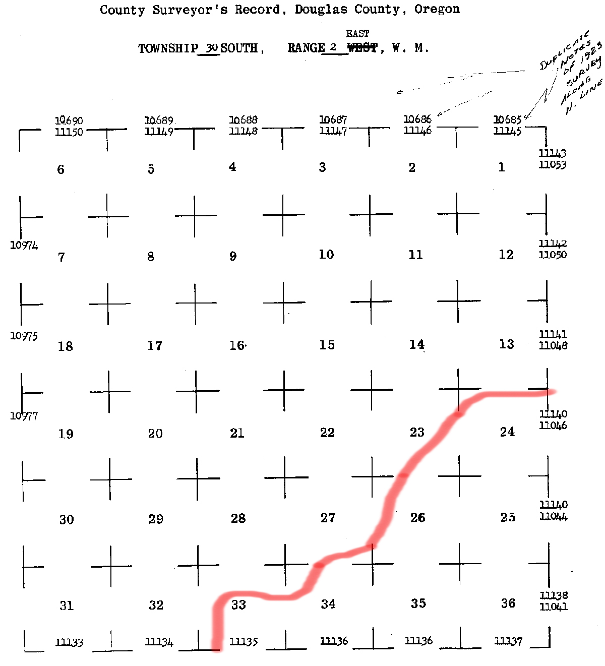
The red line in this index indicates the southern boundary of the 2010 South Umpqua Headwaters Precontact Reference Conditions Study, including the Abbott Butte Fire Lookout, and the Donegan Prairie and Abbott Butte Areas of Special Interest. This survey was completed in 1937, and mapped in 1938 (Carter and Dawson 1937).