Upper South Umpqua Headwaters Precontact Reference Study
Tsp. 28 S., Rng. 3 E.
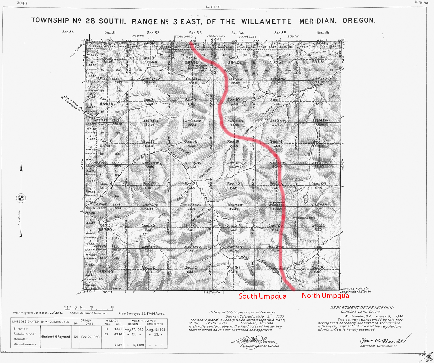
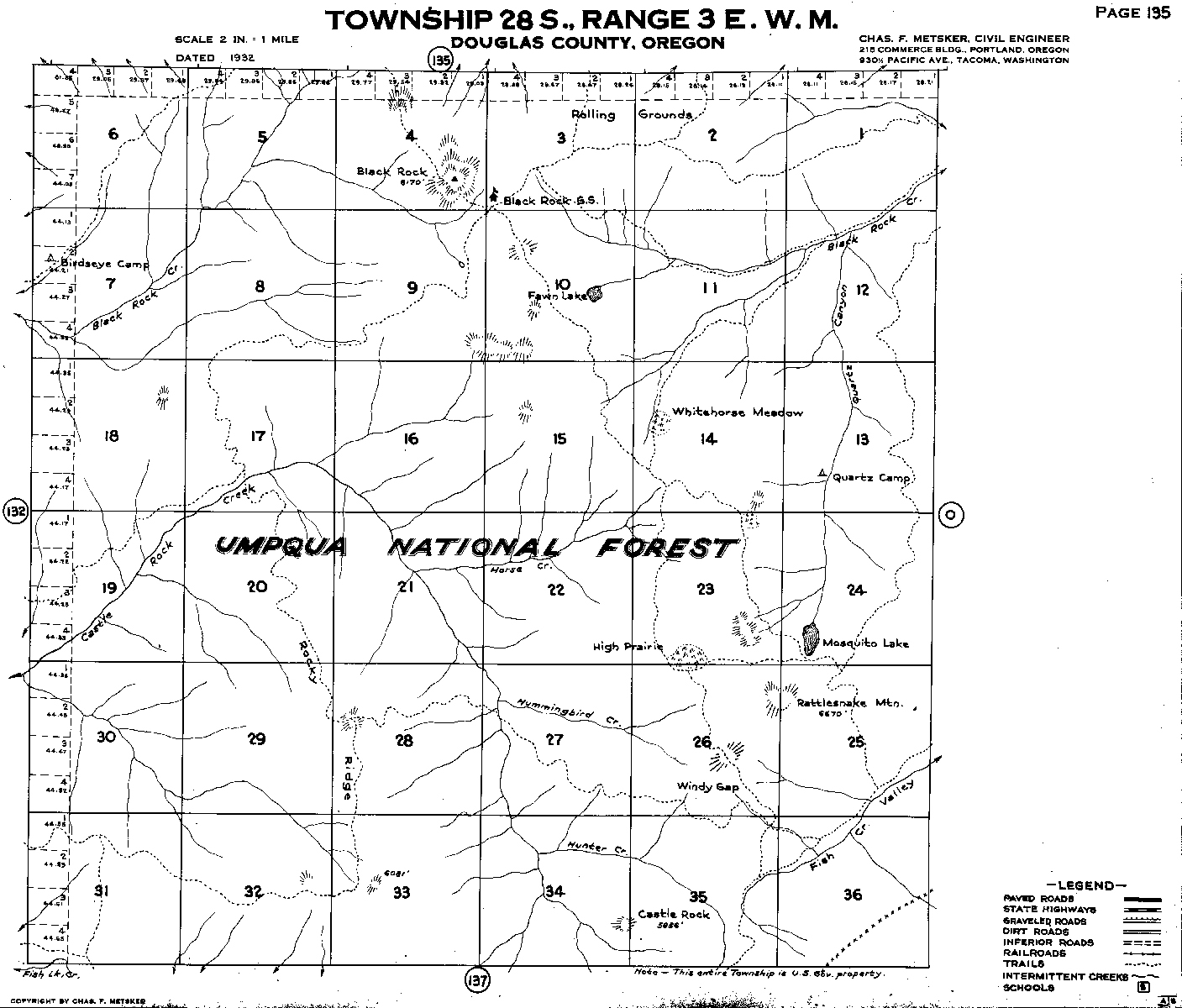
Tsp. 28 S., Rng. 3 E. was surveyed in 1929 (Raymond 1929). Here are the typed survey notes Original Land Survey Notes.
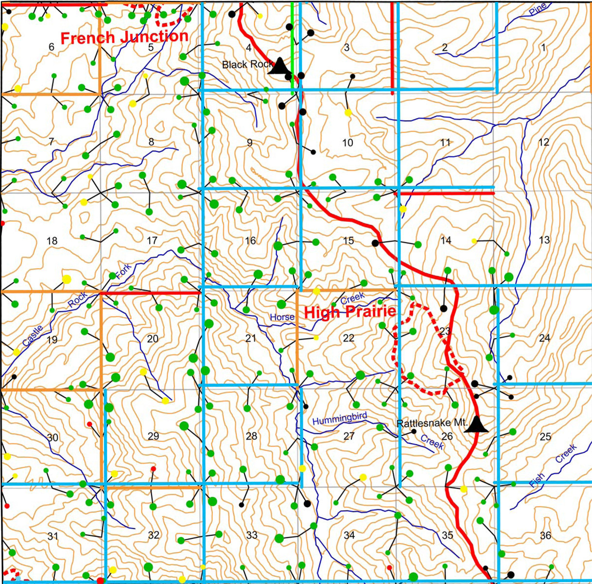
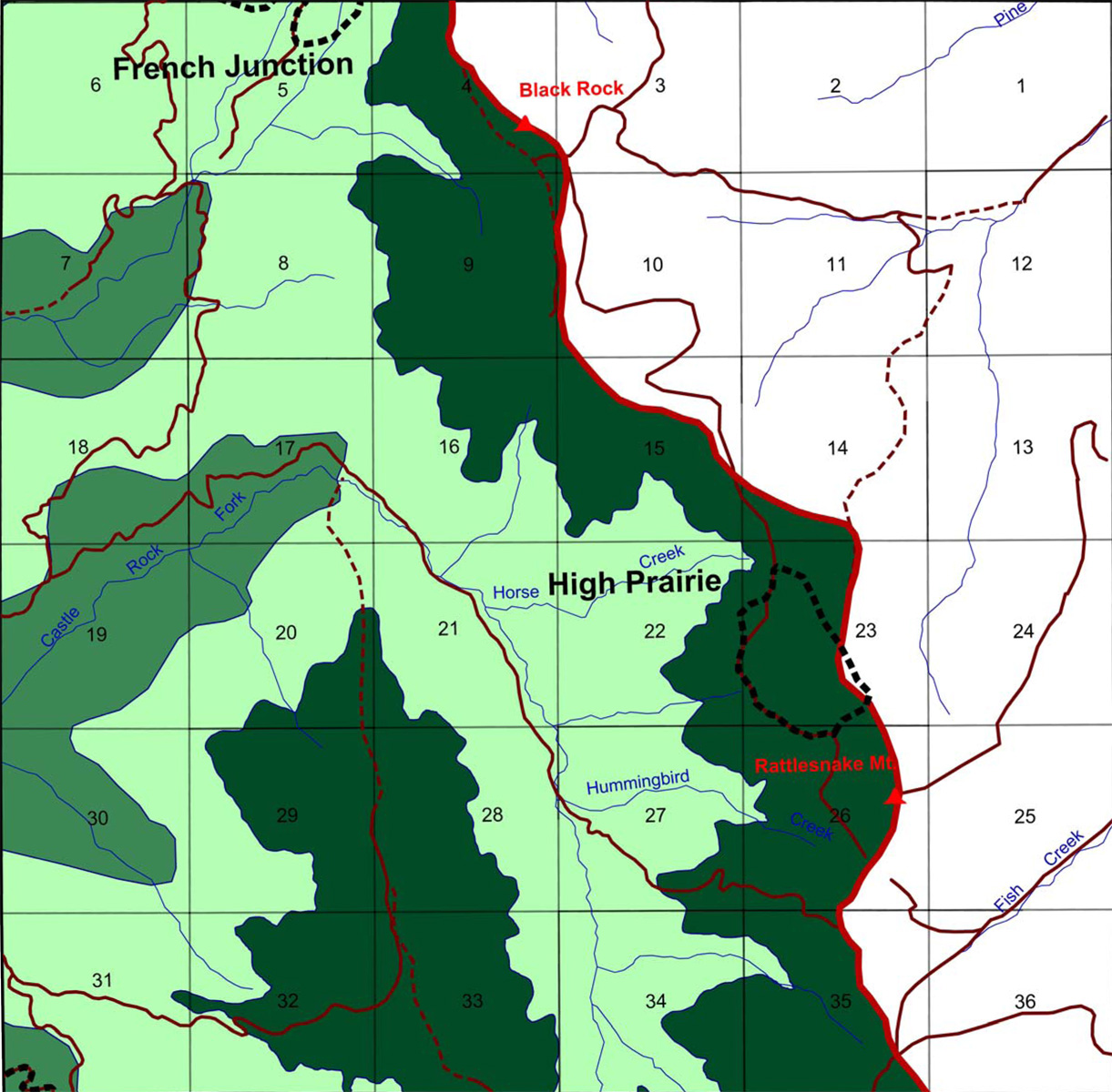
This township is partly contained in the Upper South Umpqua Headwaters Precontact Reference Study and contains portions of two of the study's subbasins: Black Rock Fork subbasin and Castle Rock Fork subbasin.
It contains portions of one of the study's Areas of Special Interest: a portion of the French Junction Area and the High Prairie Area. The township also contains the Black Rock Lookout and the Rattlesnake Mountain Lookout.
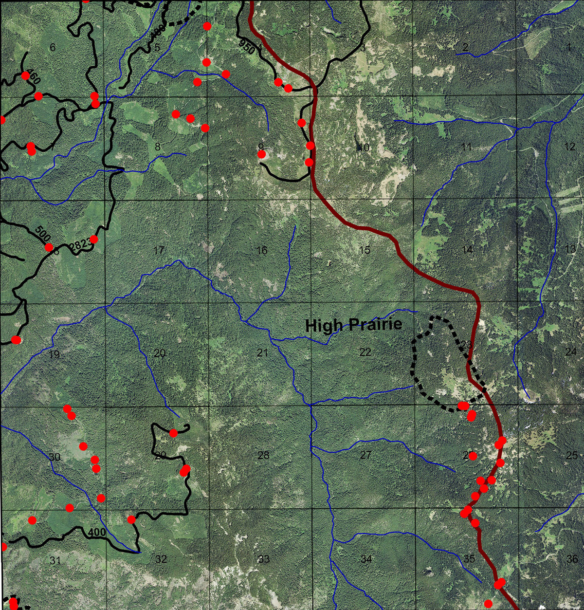
This page includes specific maps and aerial photographs of Tsp. 28 S., Rng. 3 E., panoramas and QTVR video files constructed from the 2010 field research studies, and individual historical and 2010 documentary photographs showing current condtions, native plants and animals, and other points of interest related to this study area.
Panoramas and QTVRs
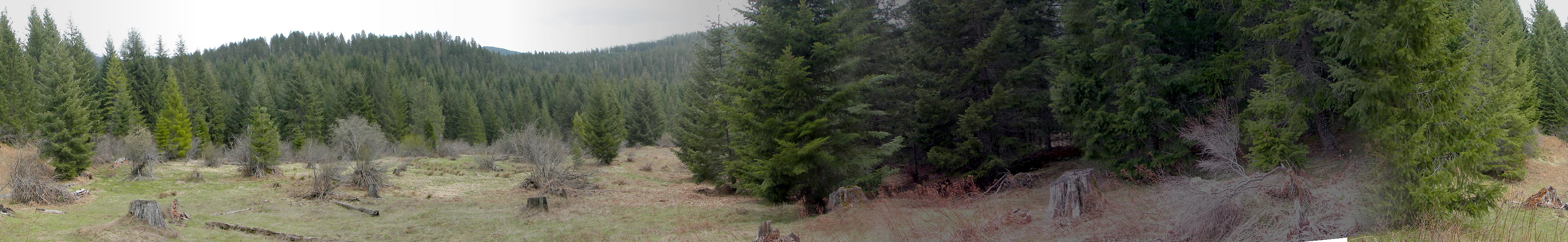
1404-1409_Motherlode_Meadow-180
|
||
1424-1434_Viewpoint-360 |
||
1435-1444_500_Road-360 |
||
 |
 |
 |
 |
 |
1397_Pine
|
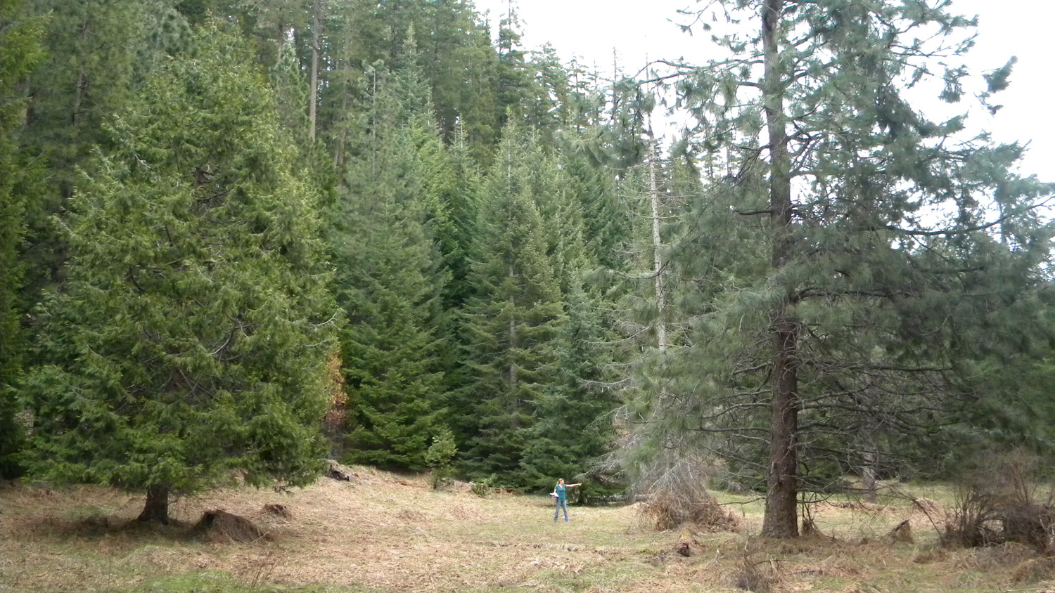
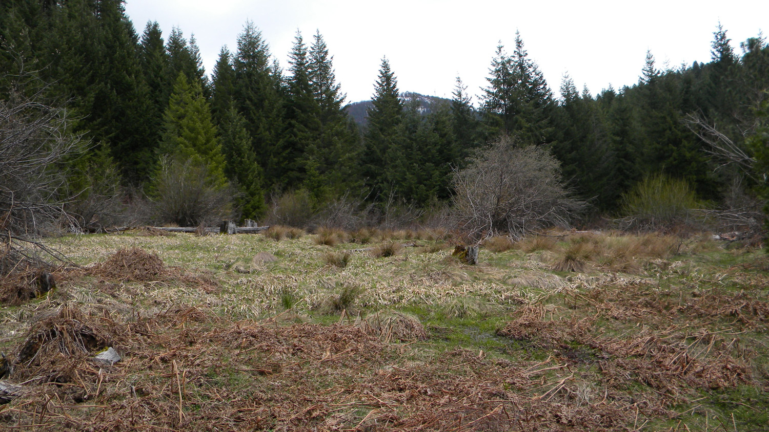
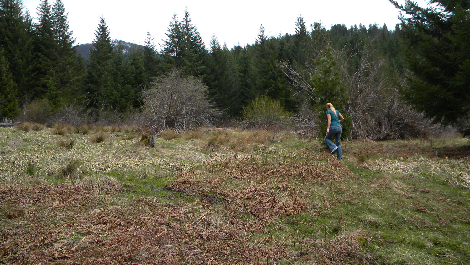
1398_Bracken_Fern_Meadow
|
1399_Bracken_Fern_Meadow
|
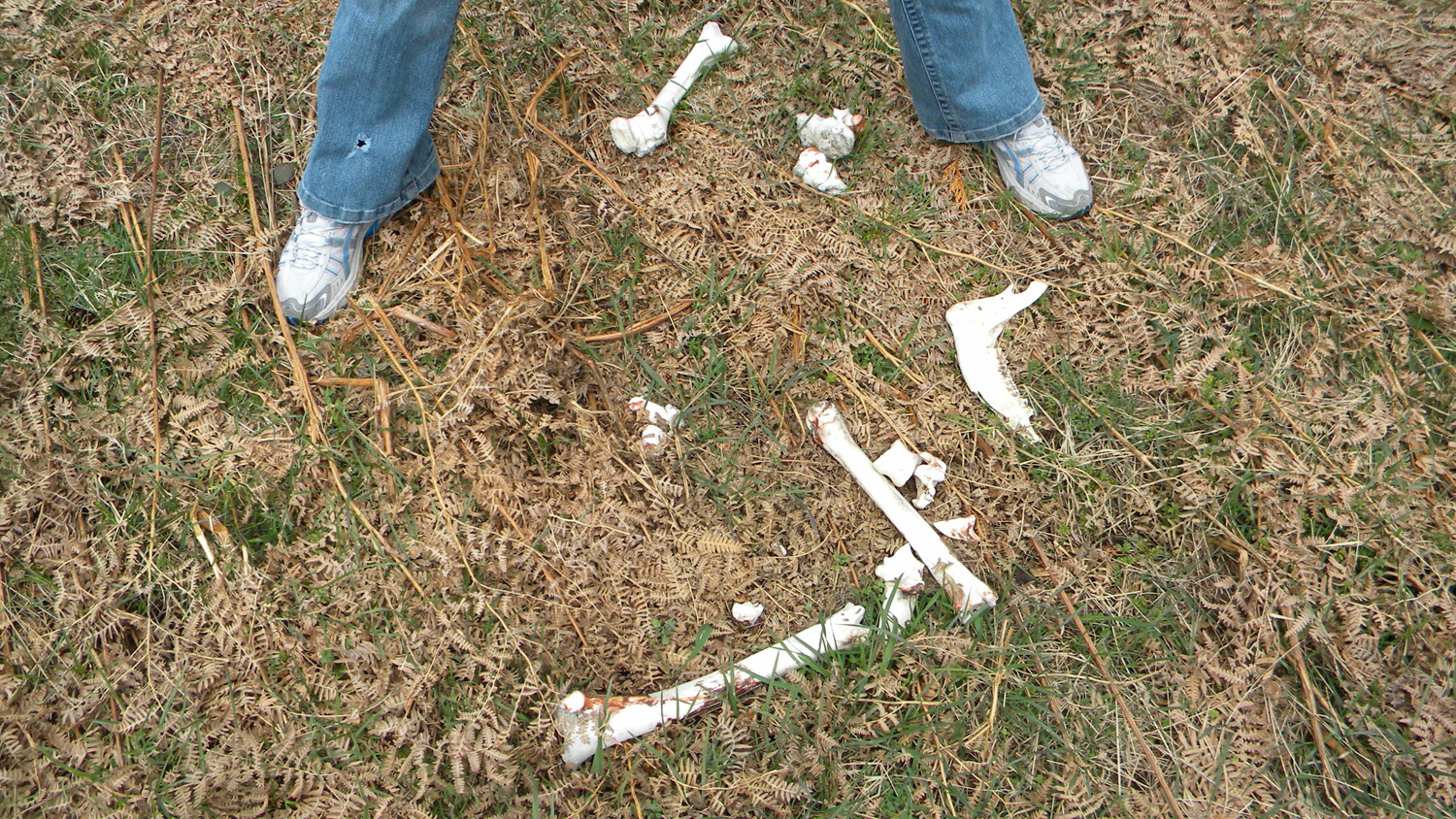
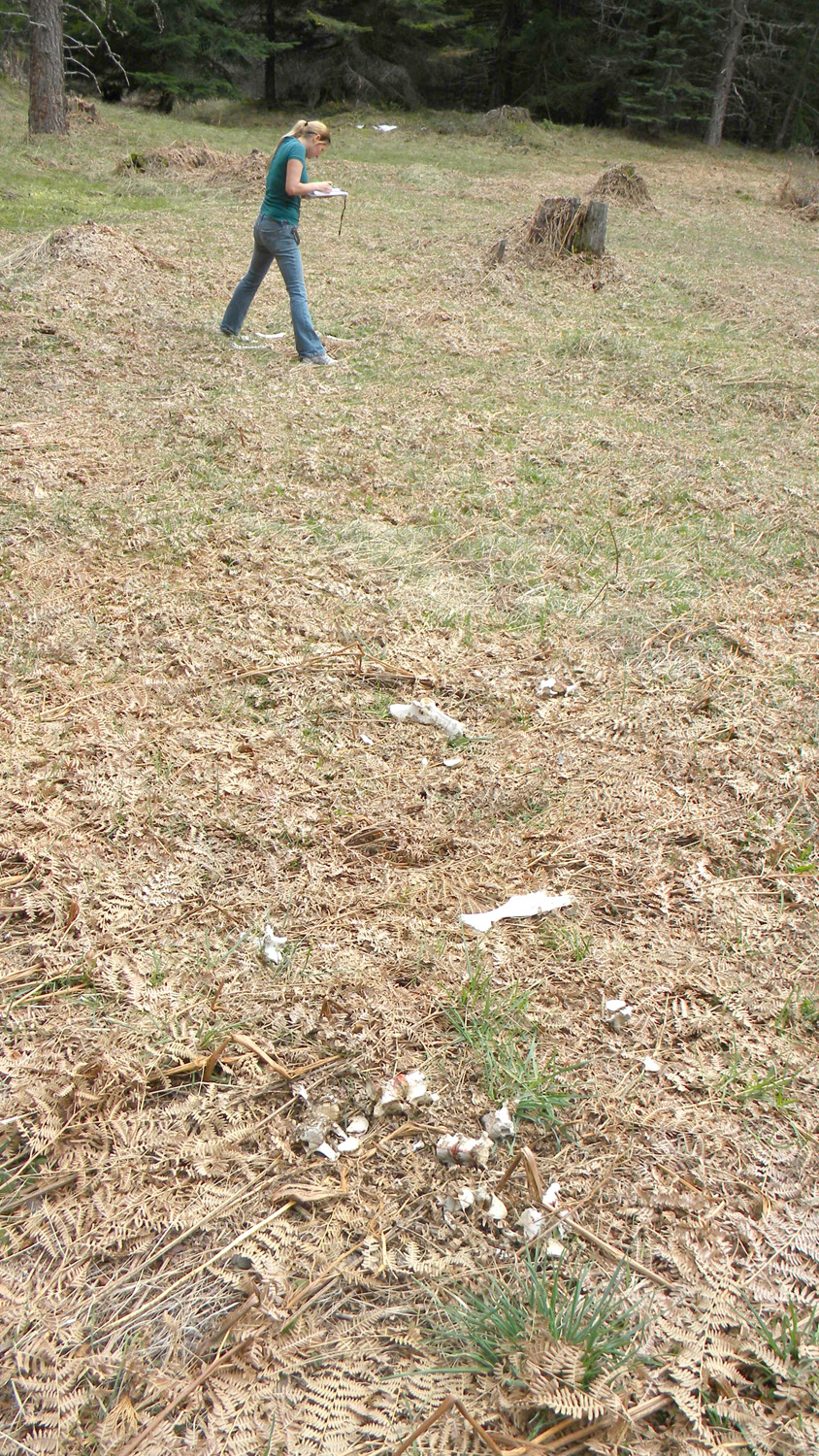
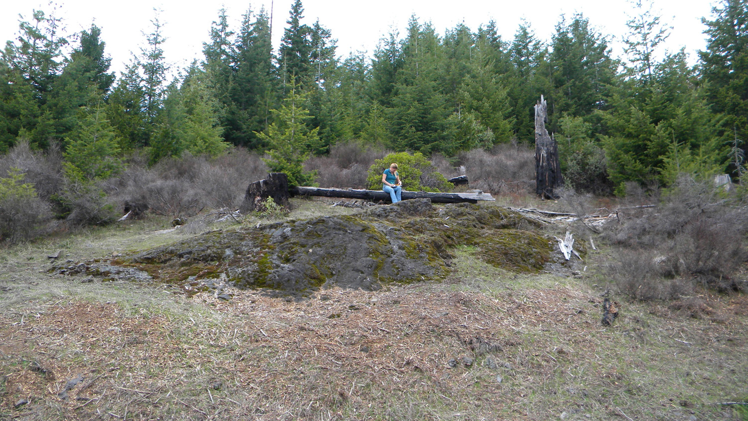
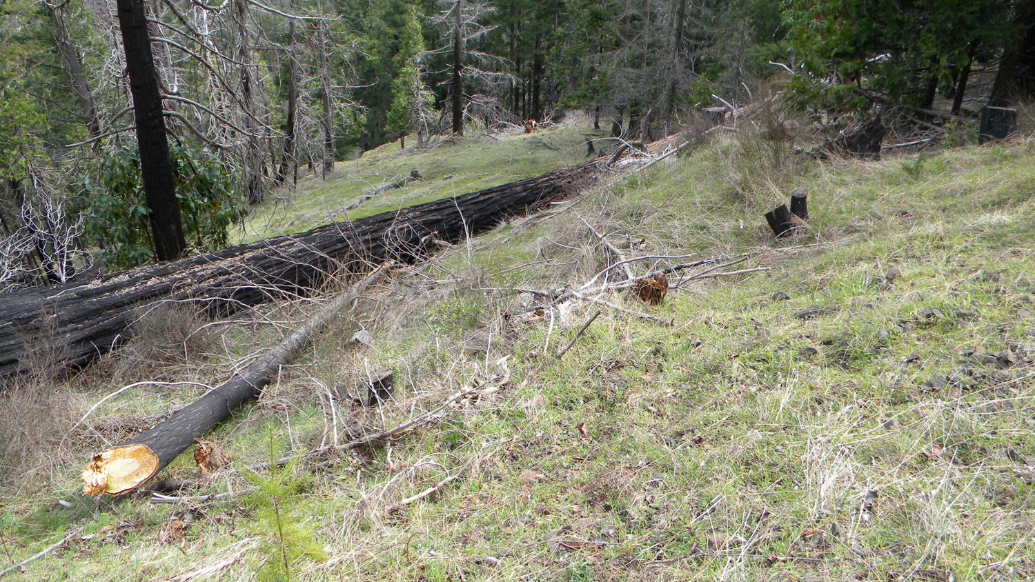
1401_Bones
|
1402_Bones
|
 |
 |
 |
 |
 |
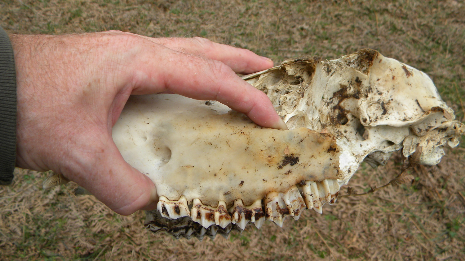
1403_Skull
|
1410_Spring
|
1411_Spring
|
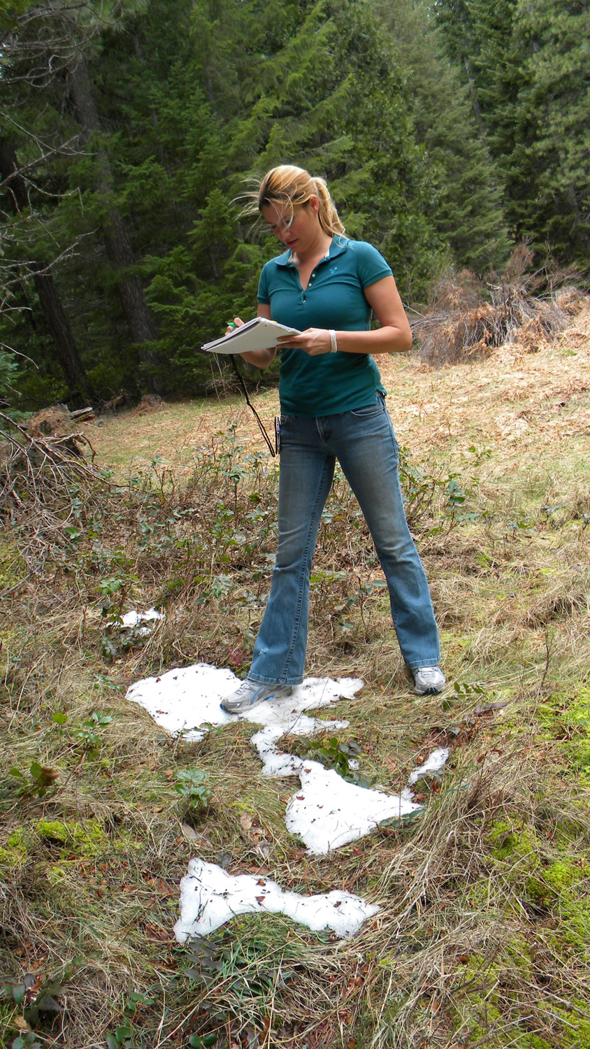
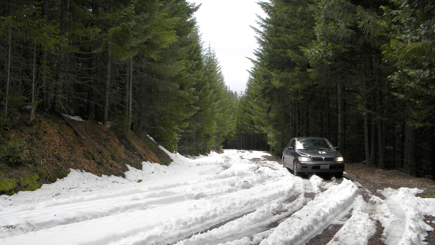
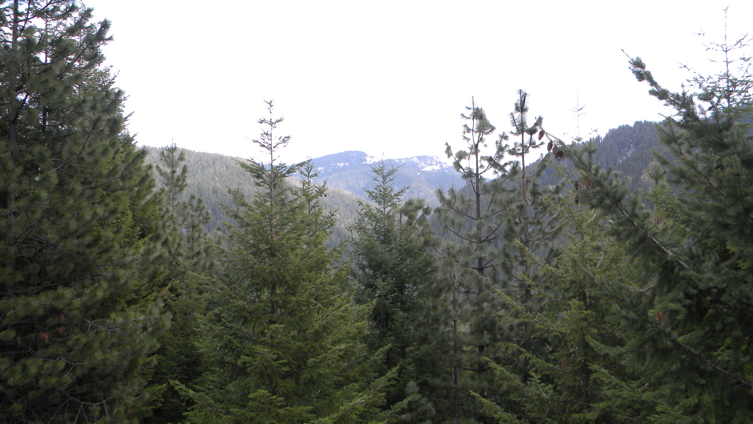
1412_Lowest_Snow
|
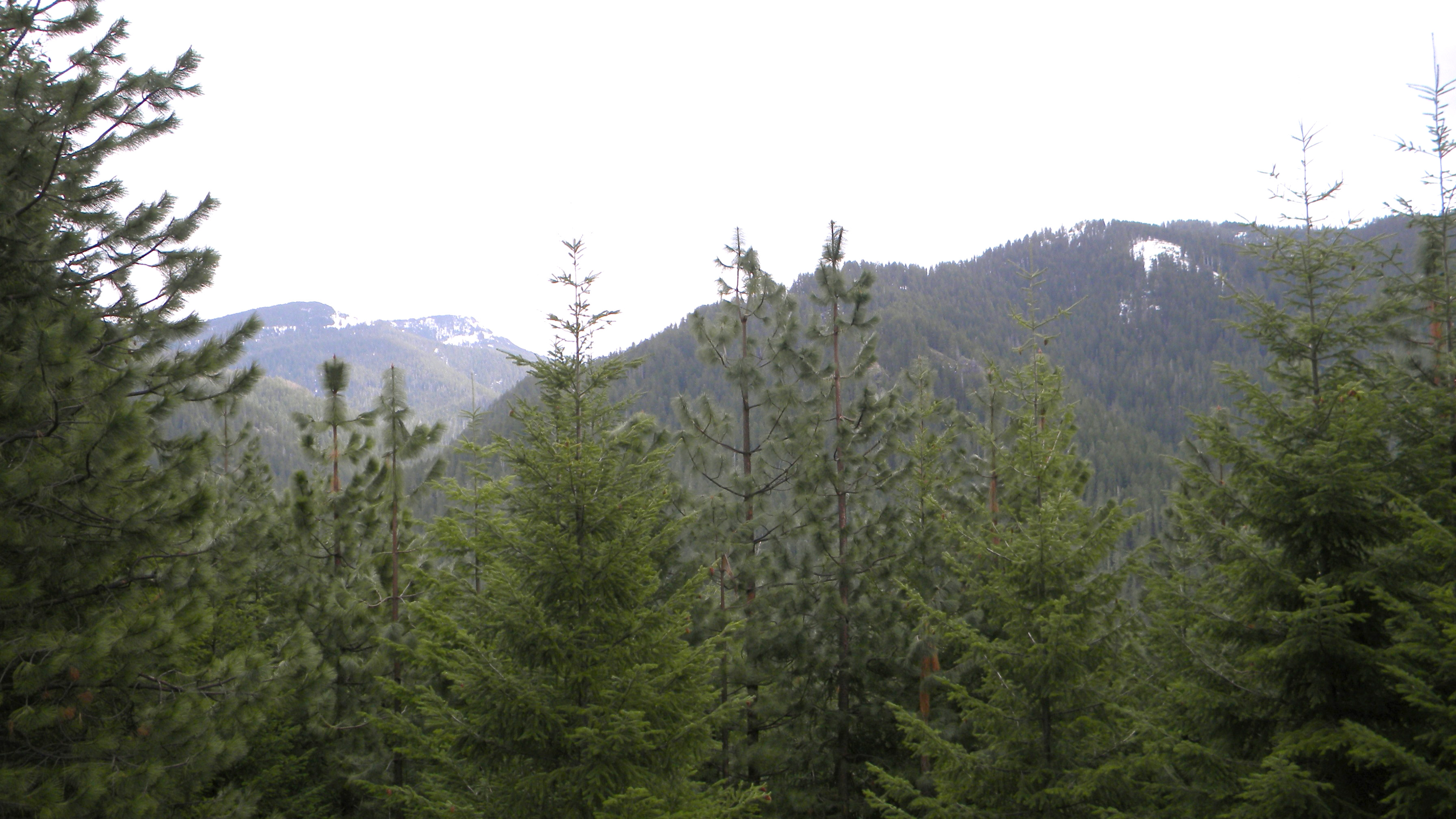
1413_Snow
|
 |
 |
 |
 |
 |
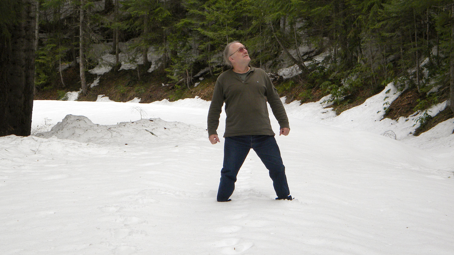
1415_Snow_Man
|
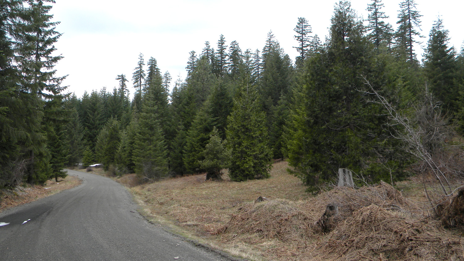
1416_Old_Meadow
|
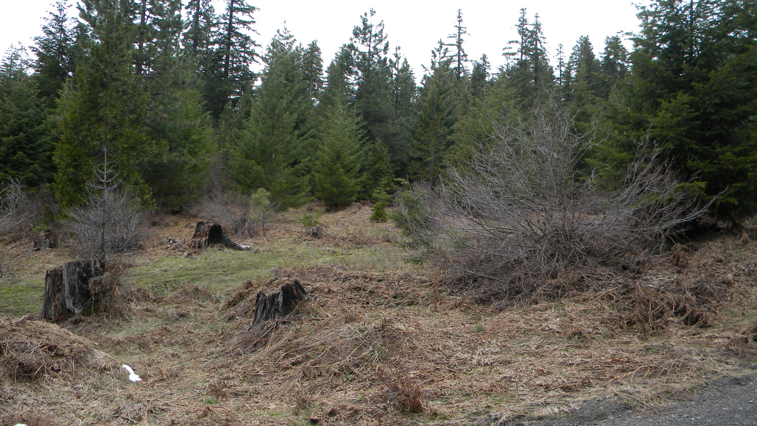
1417_Old_Meadow
|
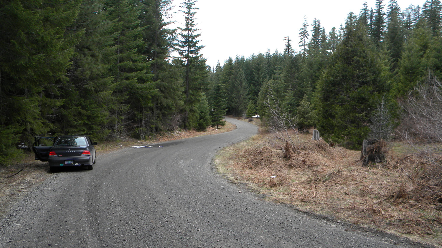
1418_Old_Meadow
|
1419_Snags_and_Snow
|
 |
 |
 |
 |
 |
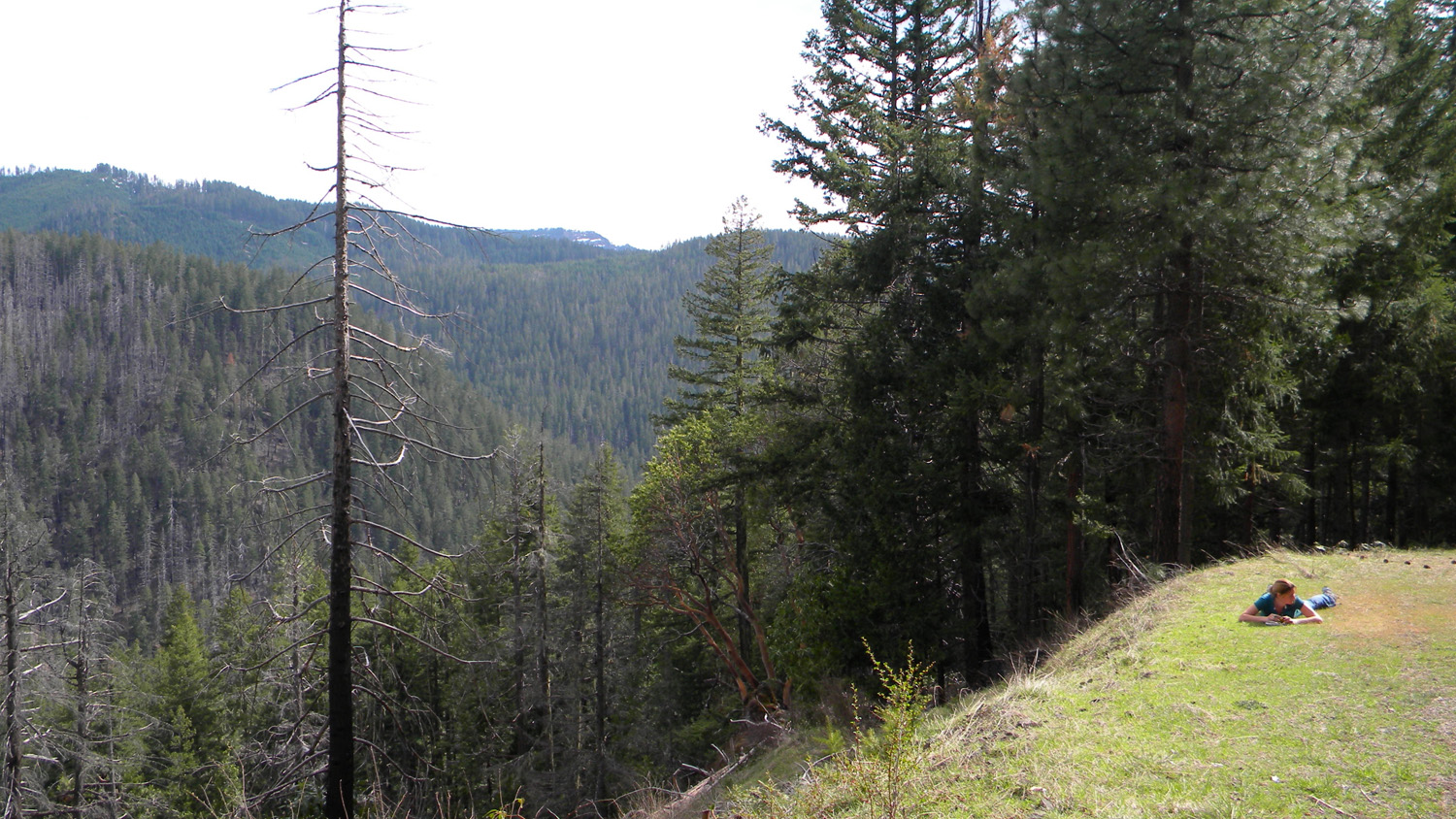
1420_Viewpoint
|
1421_Viewpoint
|
1422_Viewpoint
|
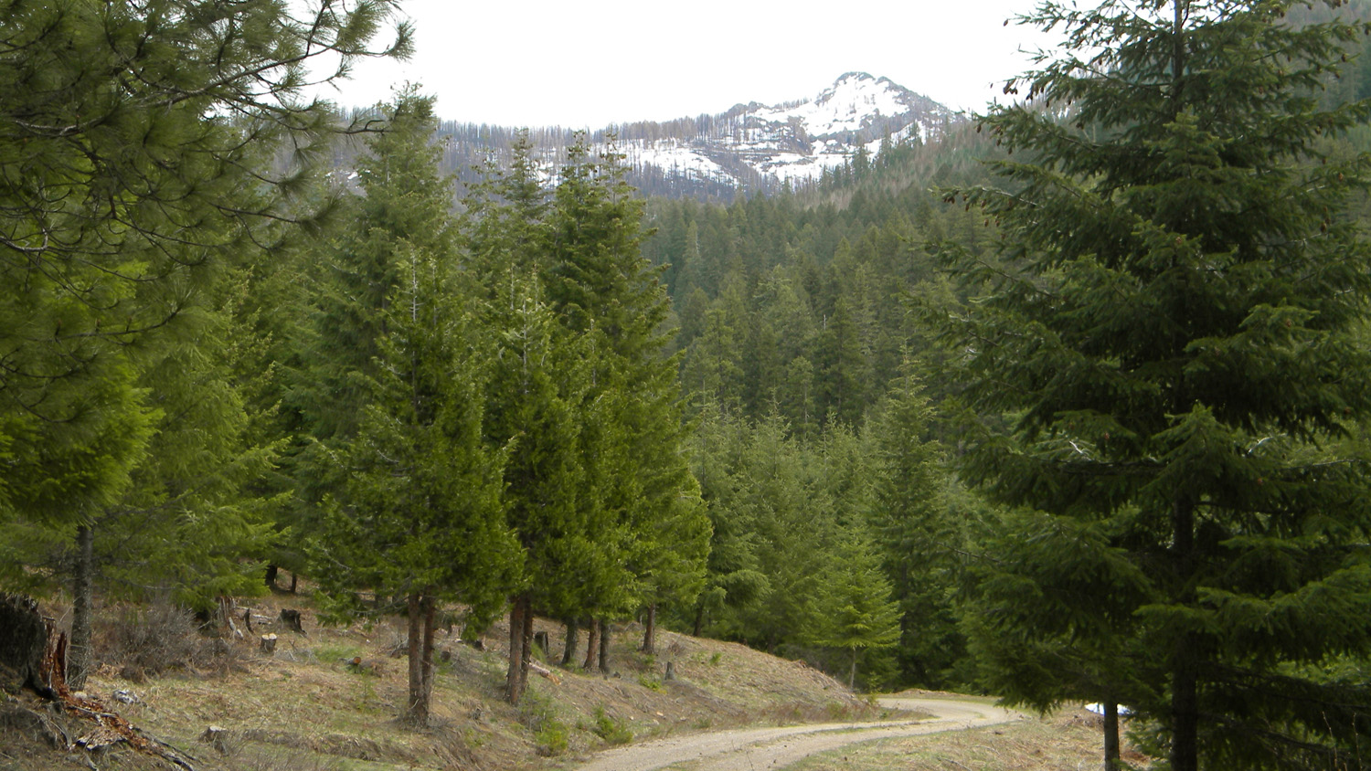
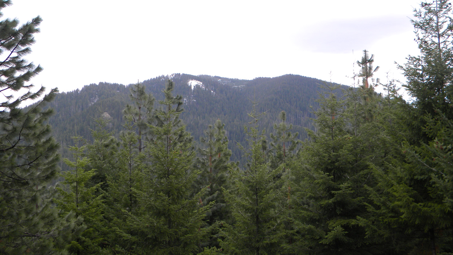
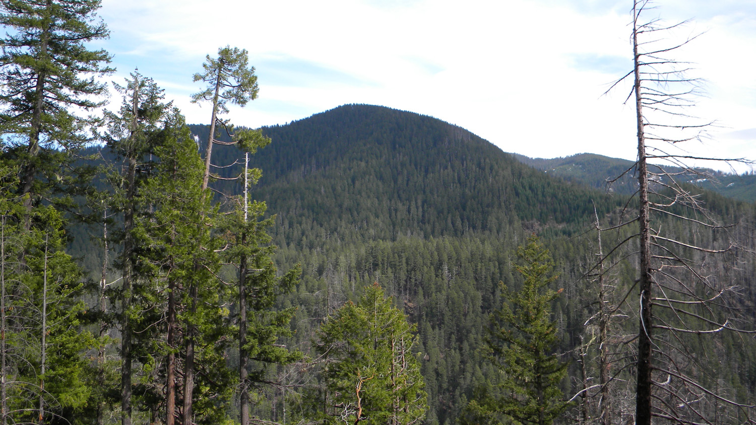
1423_Peak
|
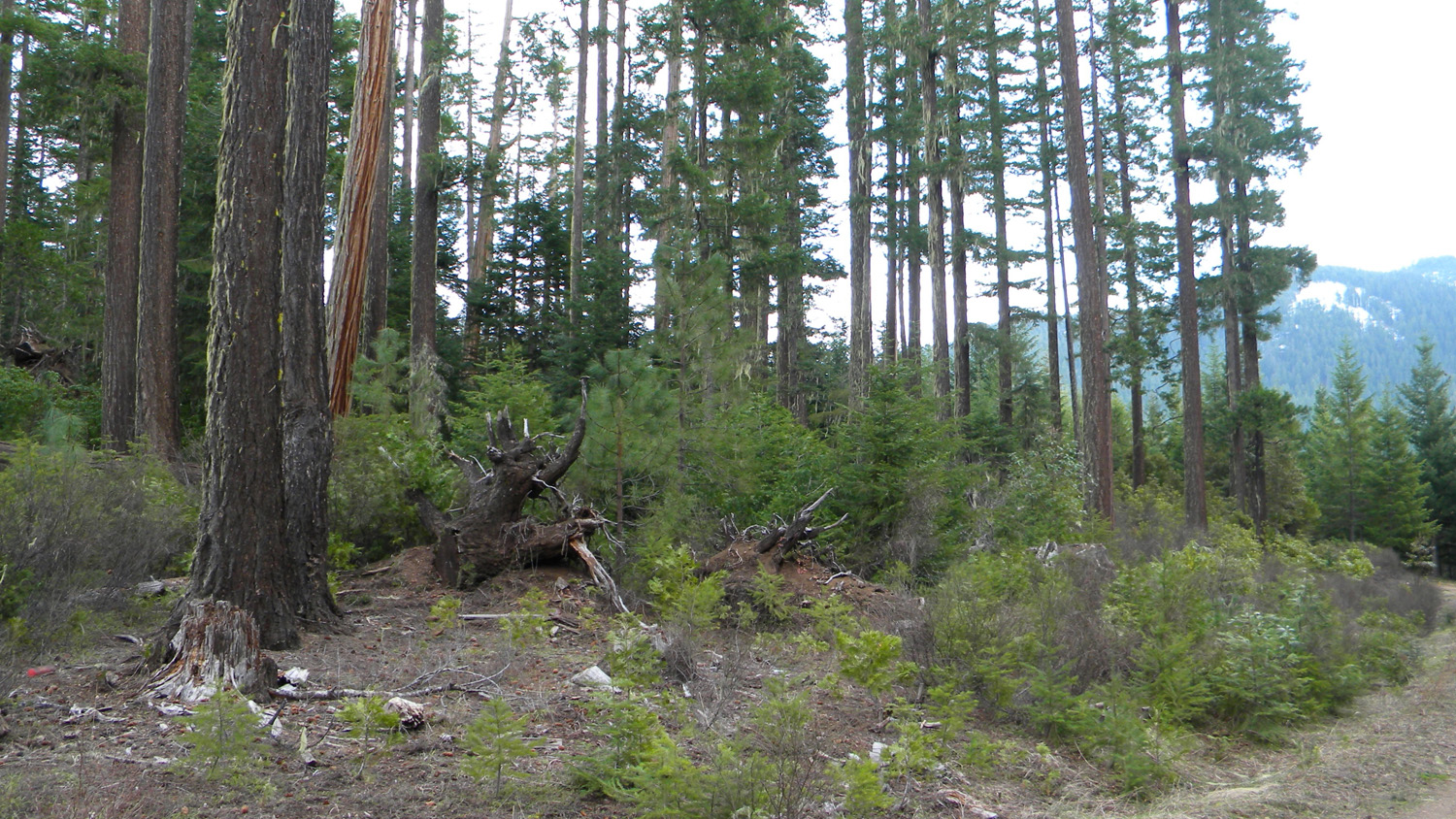
1436_500_Road_Trees
|
 |
 |
 |
 |
 |
1445_Lookout
|
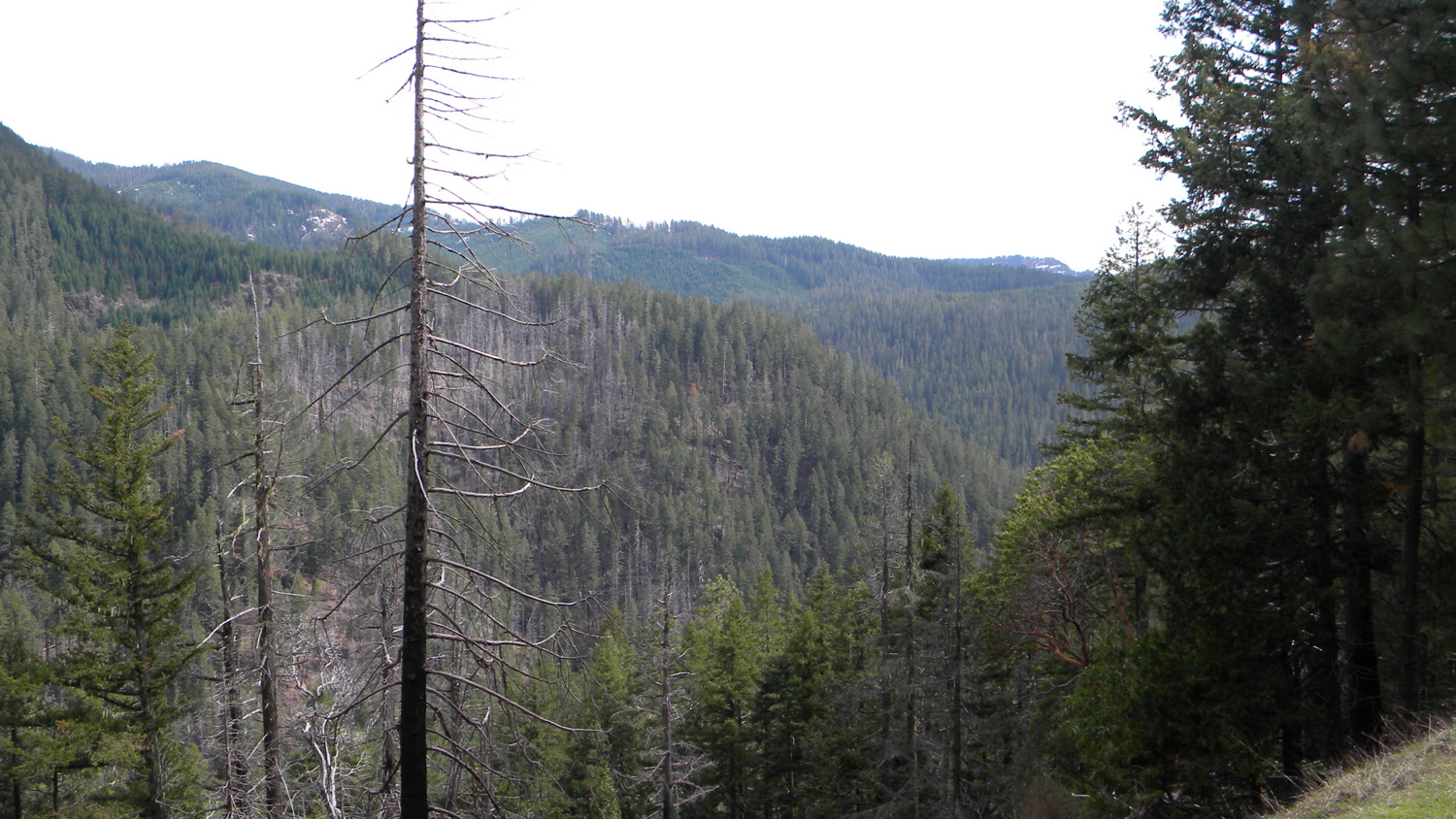
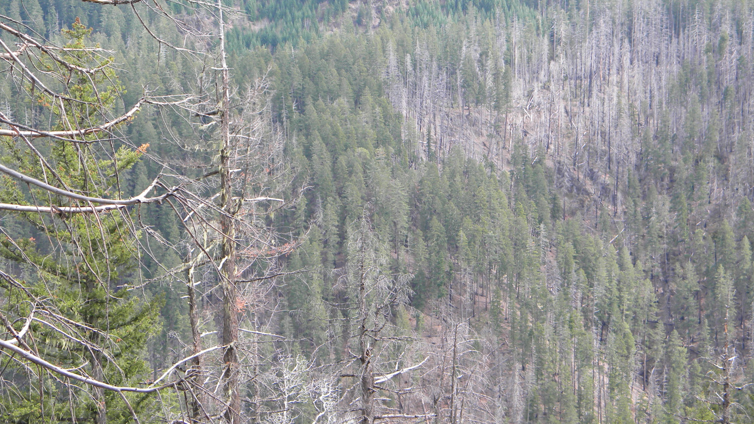
1446_Burn
|
1447_Landmark
|
1448_Meadow
|
1449_Burn
|
 |
||||
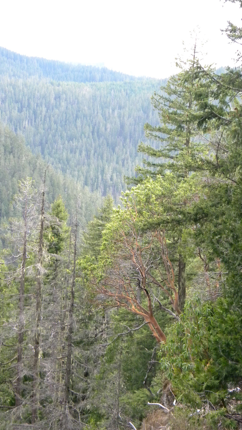
1450_Madrone |
![]()
© 2010, 2020 Oregon Websites & Watersheds Project, Inc. & NW Maps Co.