
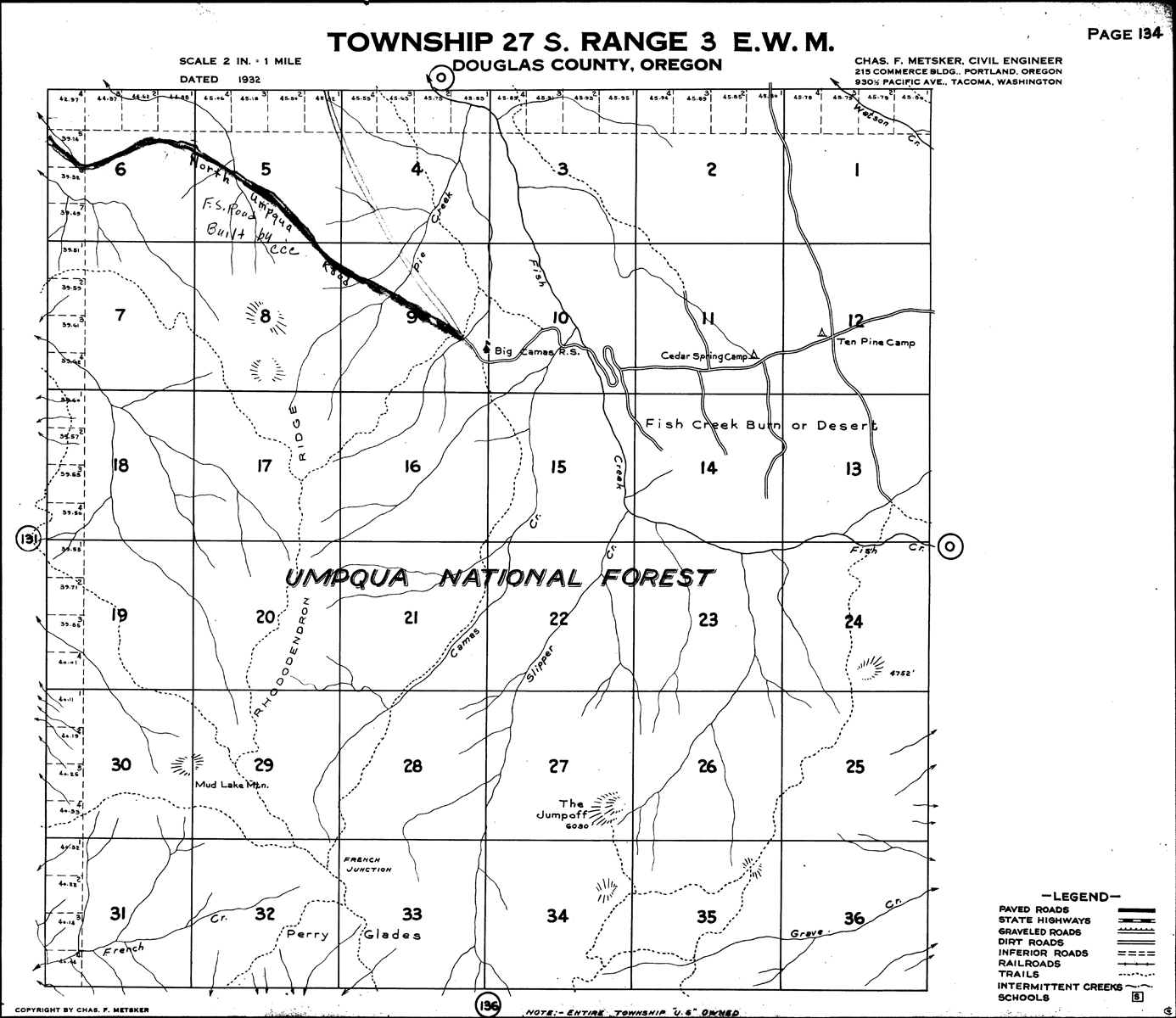
Upper South Umpqua Headwaters Precontact Reference Study
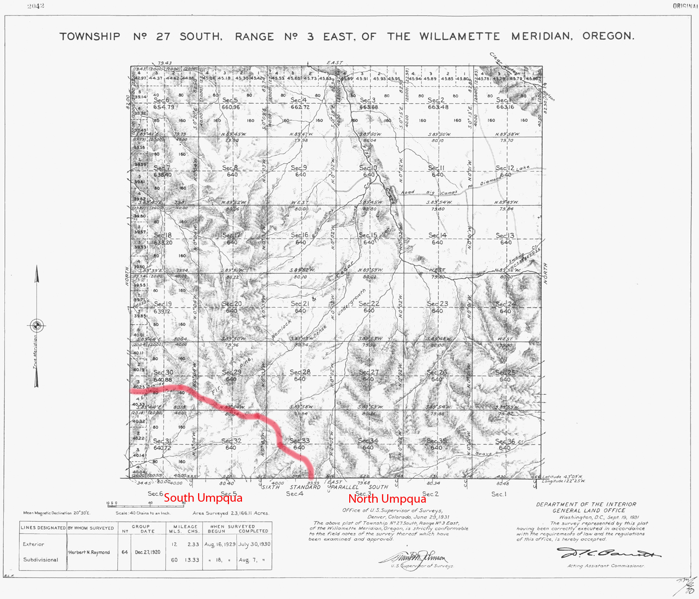
Tsp. 27 S., Rng. 3 E.
The survey of Tsp. 23 S., Rng 3 E. was completed in 1930 and mapped in 1931 (Raymond 1930). Here is the link to the typed Original Land Survey Notes.
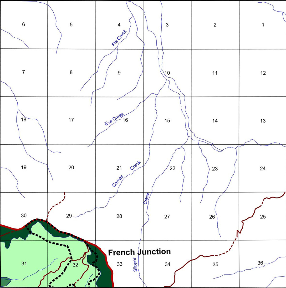
This township is the northeasternmost boundary of the 2010 South Umpqua Headwaters Precontact Reference Conditions Study and includes the greater portion of the French Junction Area of Special Interest.
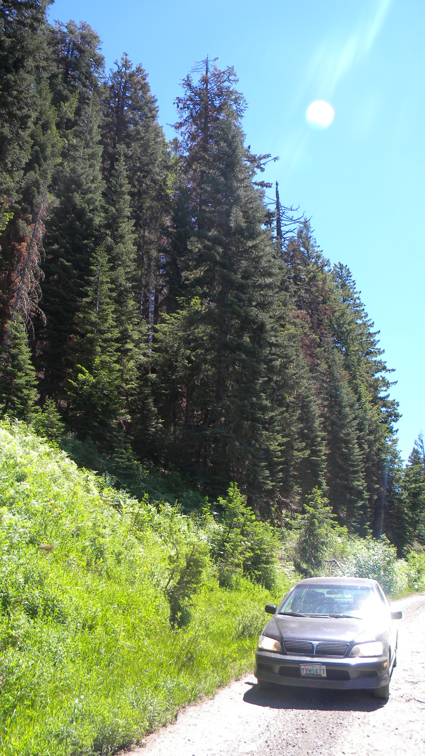
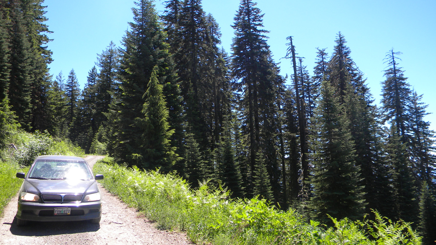
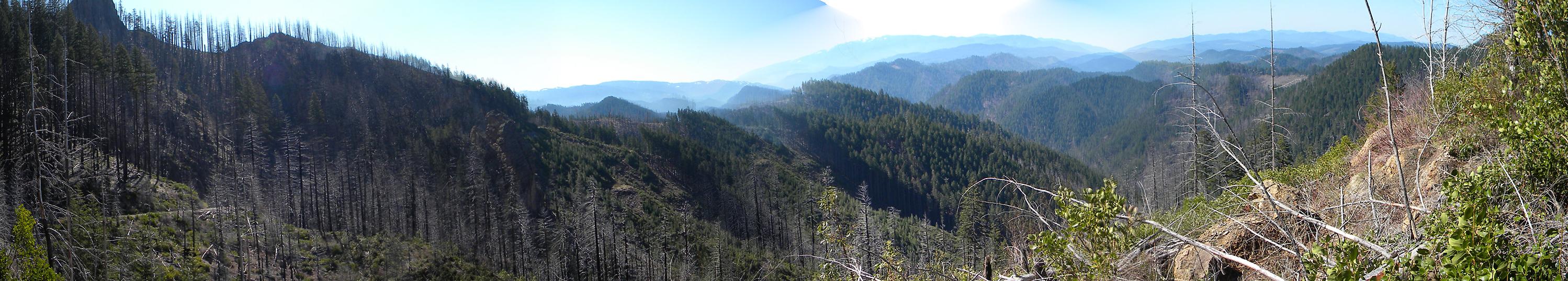
This page includes specific maps and aerial photographs of Pickett Butte, panoramas and QTVR video files constructed from the 2010 field research studies, and individual historical and 2010 documentary photographs showing current condtions, native plants and animals, and other points of interest related to this study area.
![]()
© 2010, 2020 Oregon Websites & Watersheds Project, Inc. & NW Maps Co.