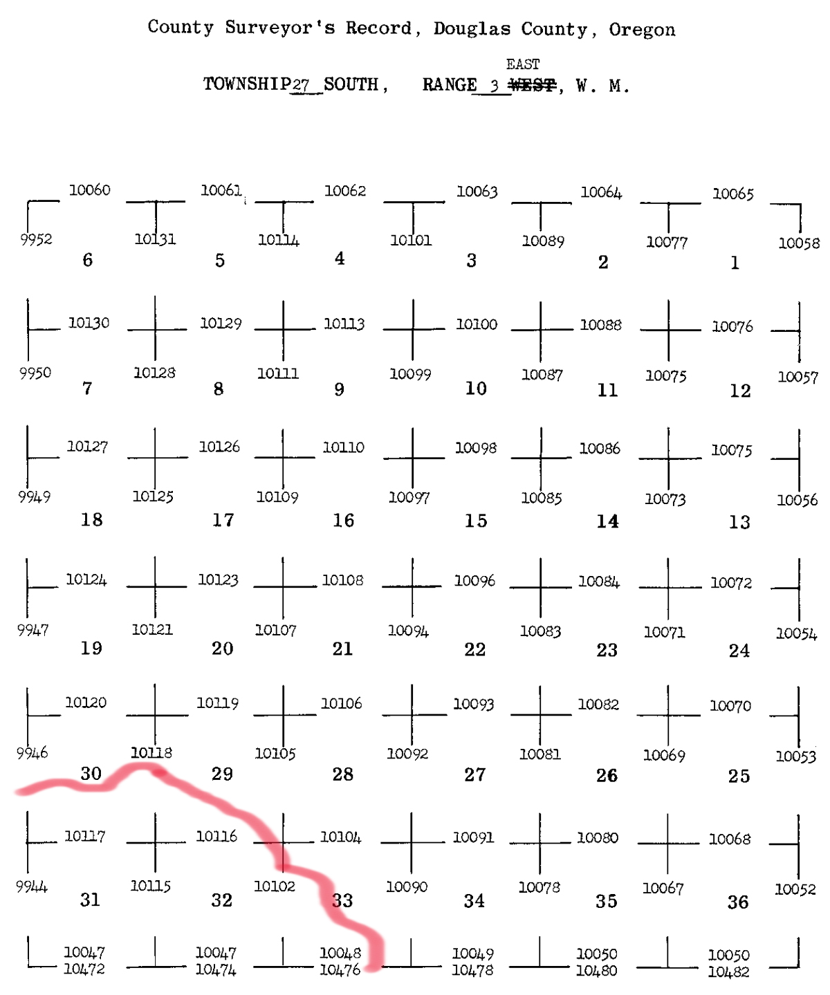
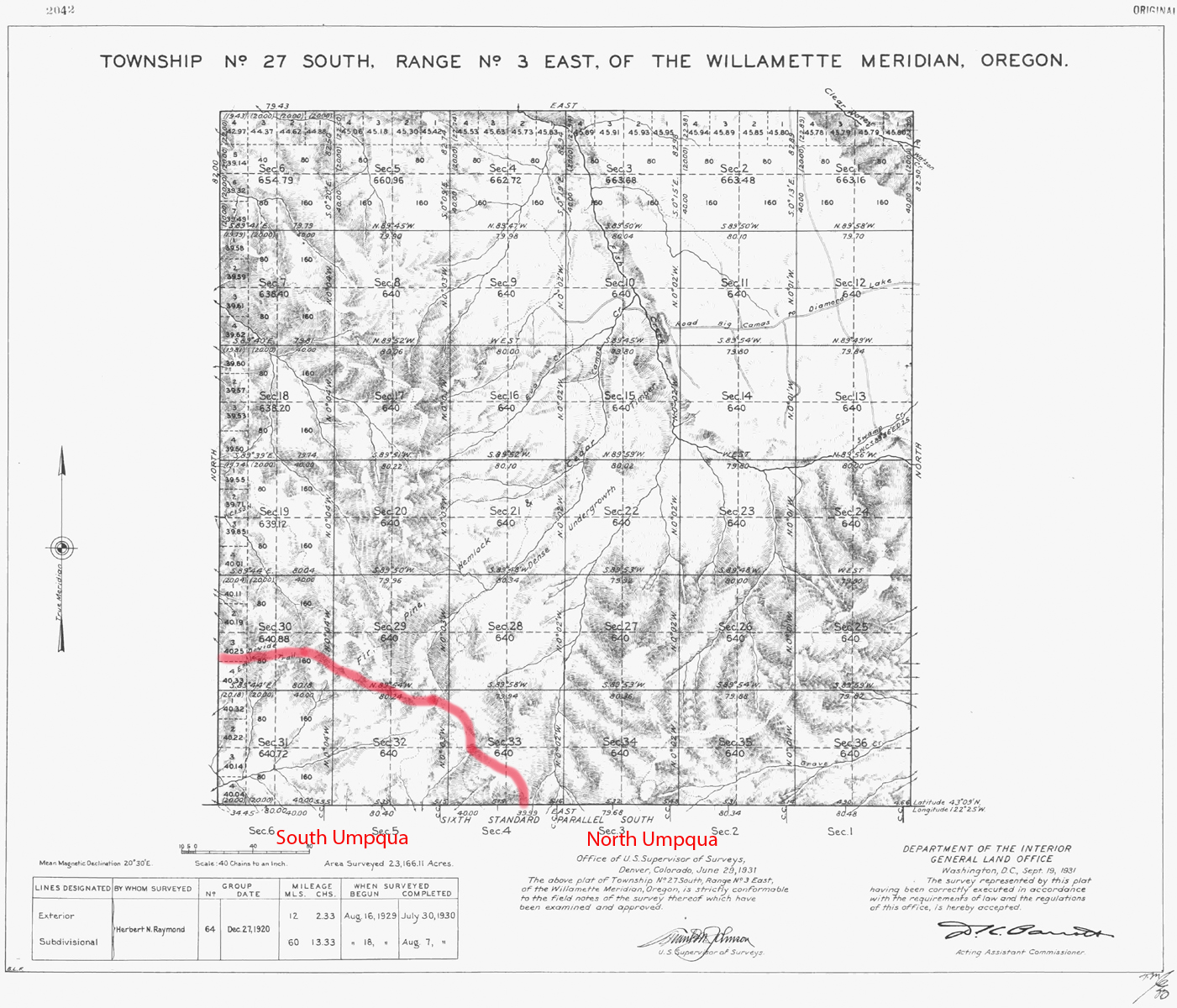
South Umpqua River
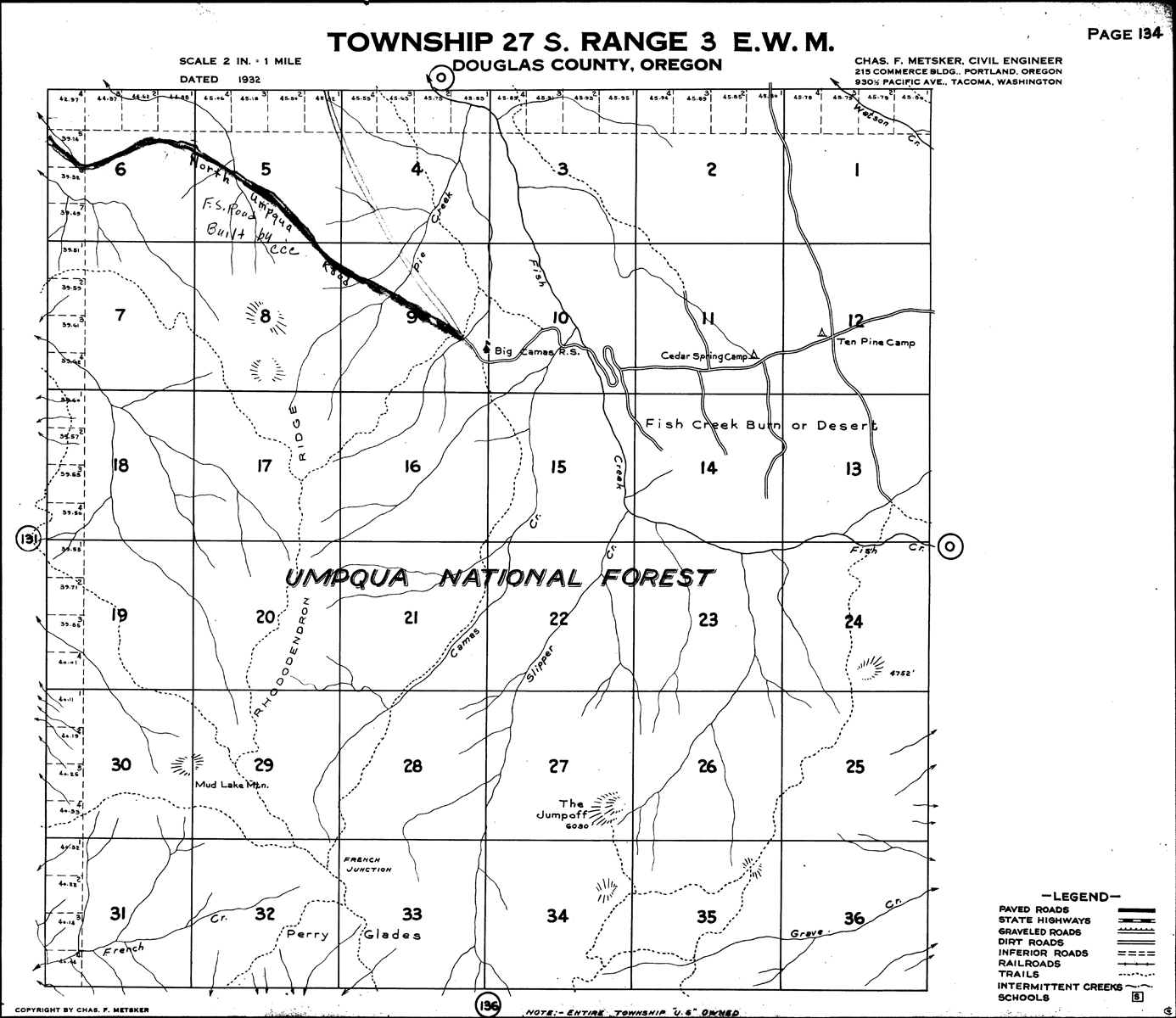
Tsp. 27 S., Rng. 3 E.
1931 General Land Office Survey Index
 |
 |
1931 GLO |
1932 Metsker |
The red line of this index indicates the northern-eastern boundary of the 2010 South Umpqua Headwaters Precontact Reference Conditions Study, including part of the French Junction Area of Special Interest. This survey was completed in 1930 and mapped in 1931 (Raymond 1930)
![]()