Upper South Umpqua Headwaters Precontact Reference Study
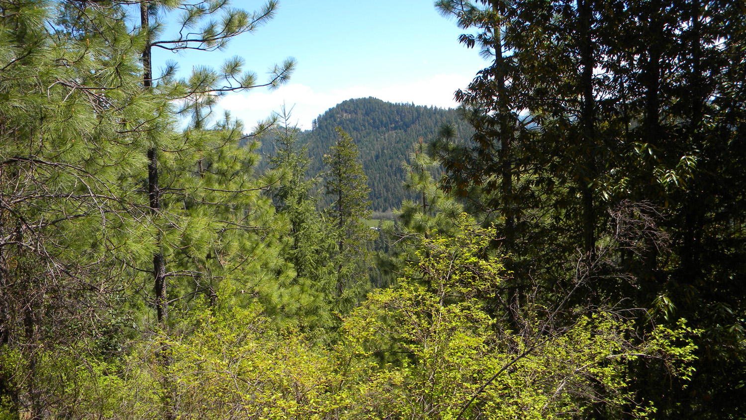
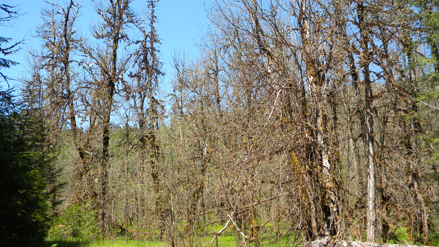
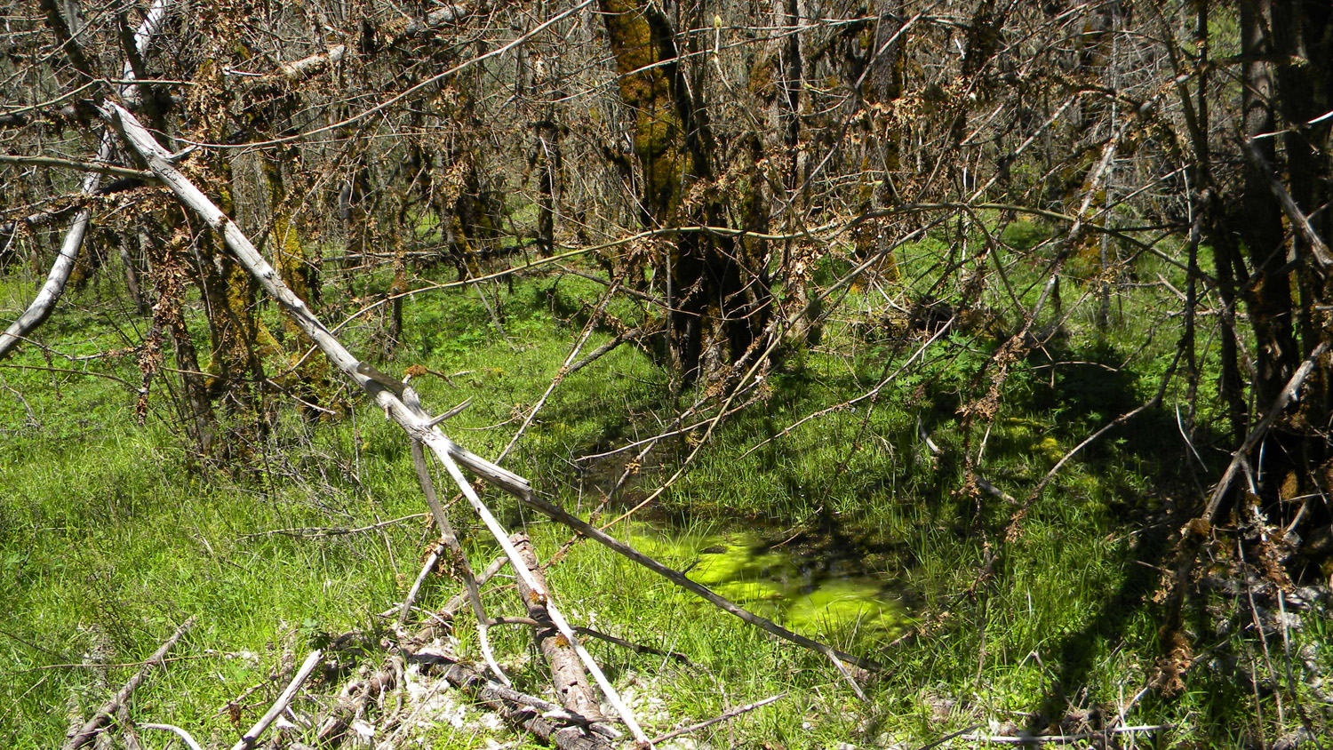
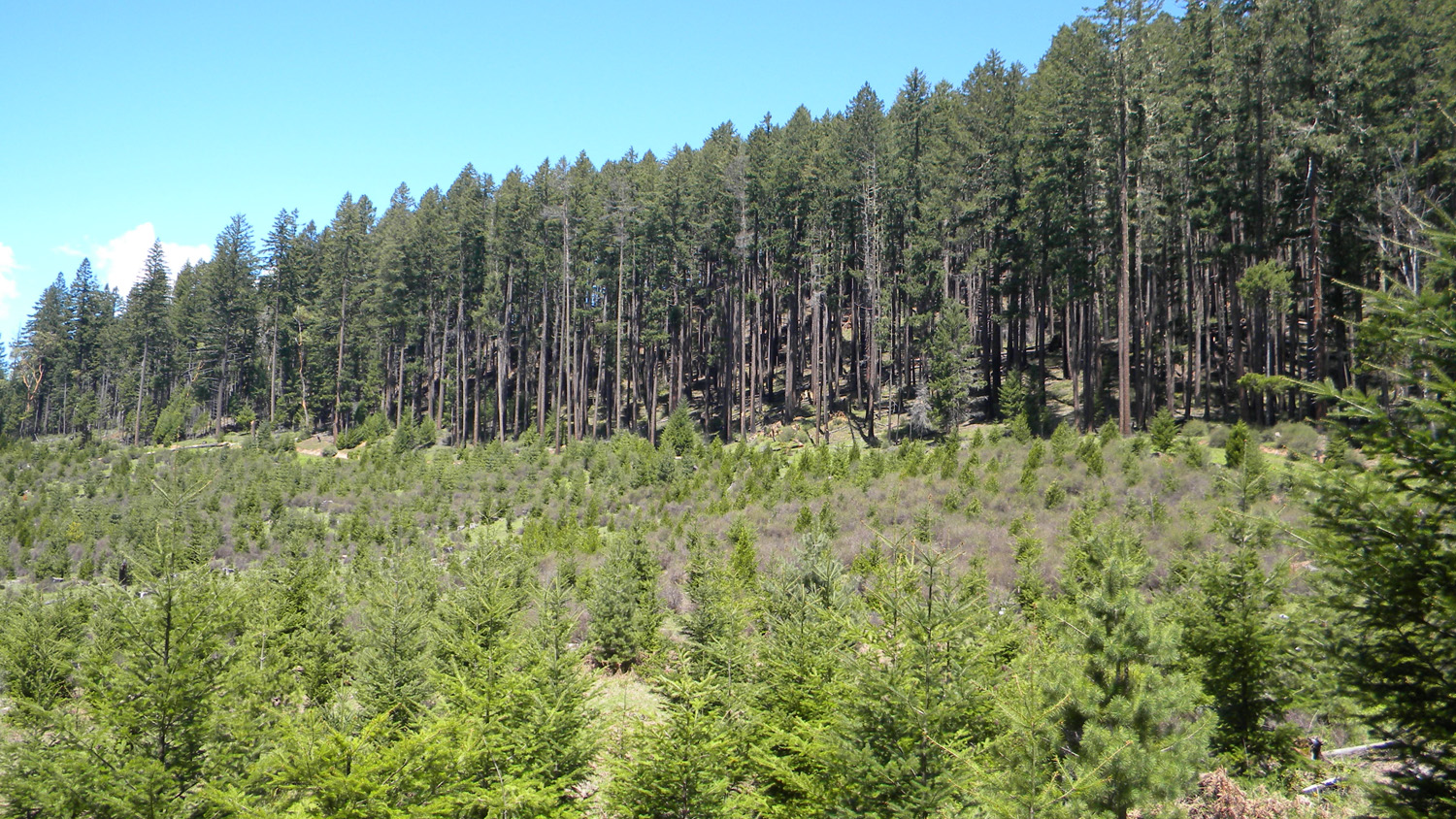
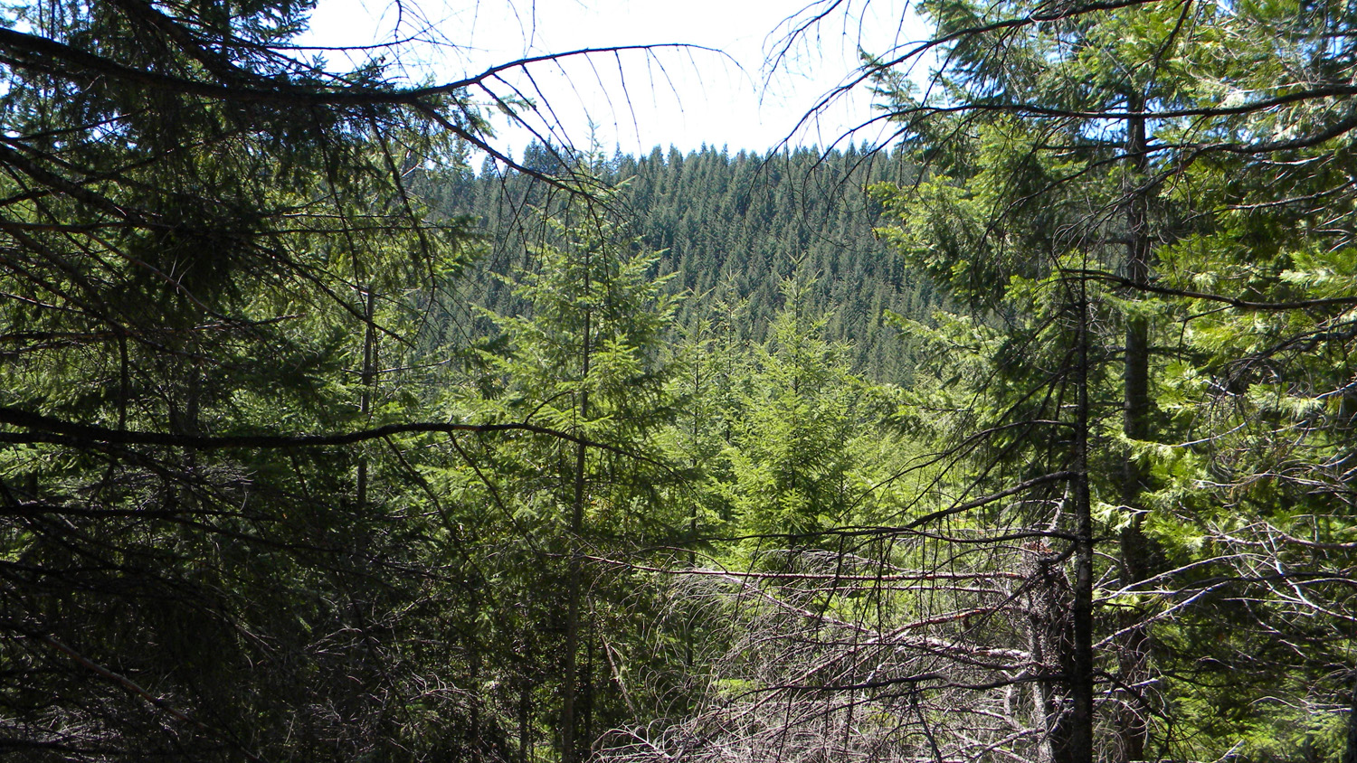
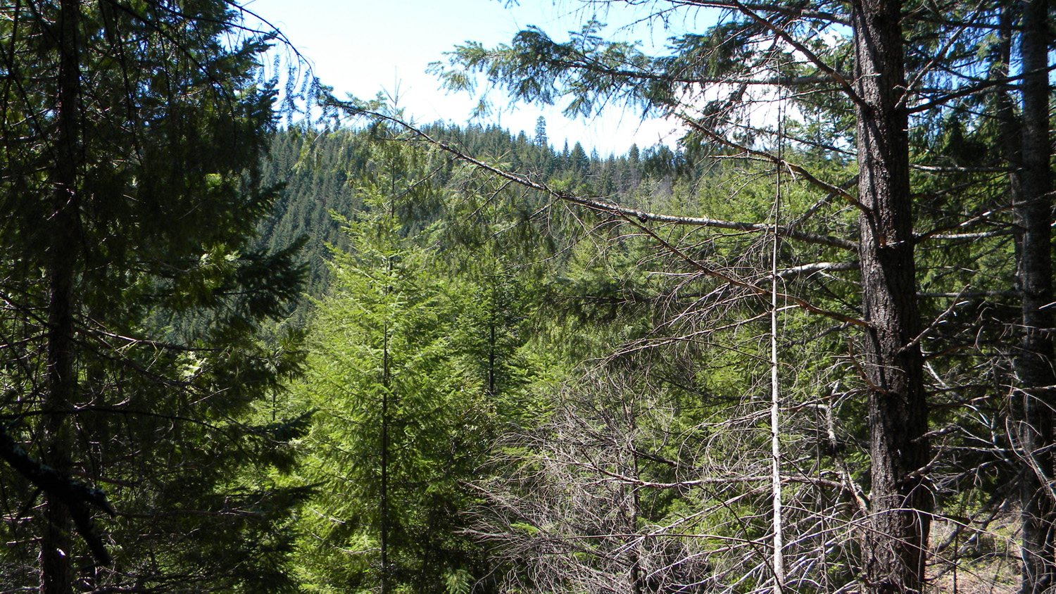
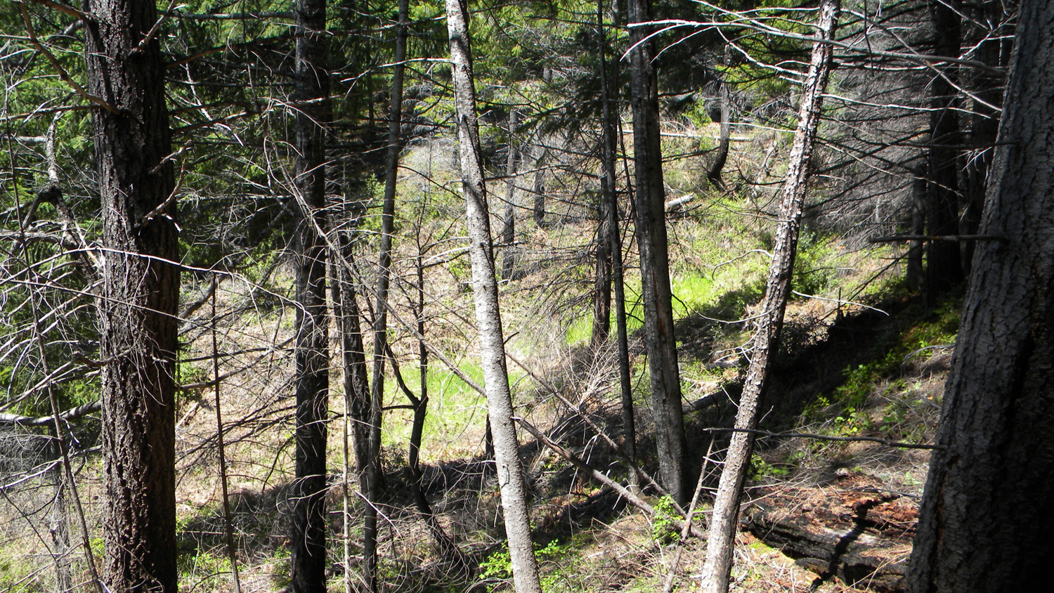
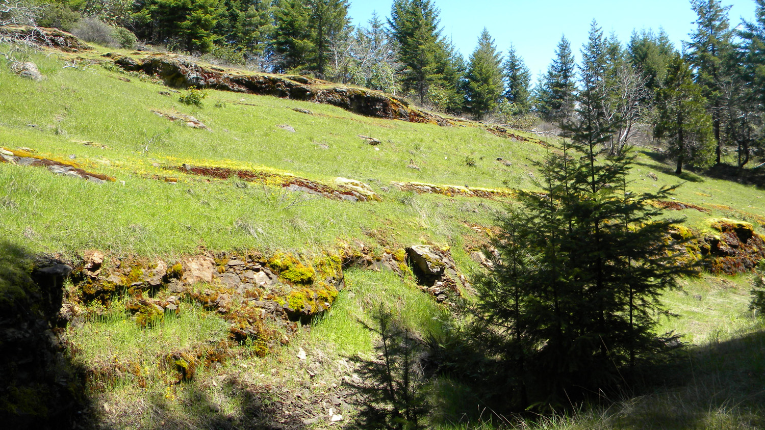
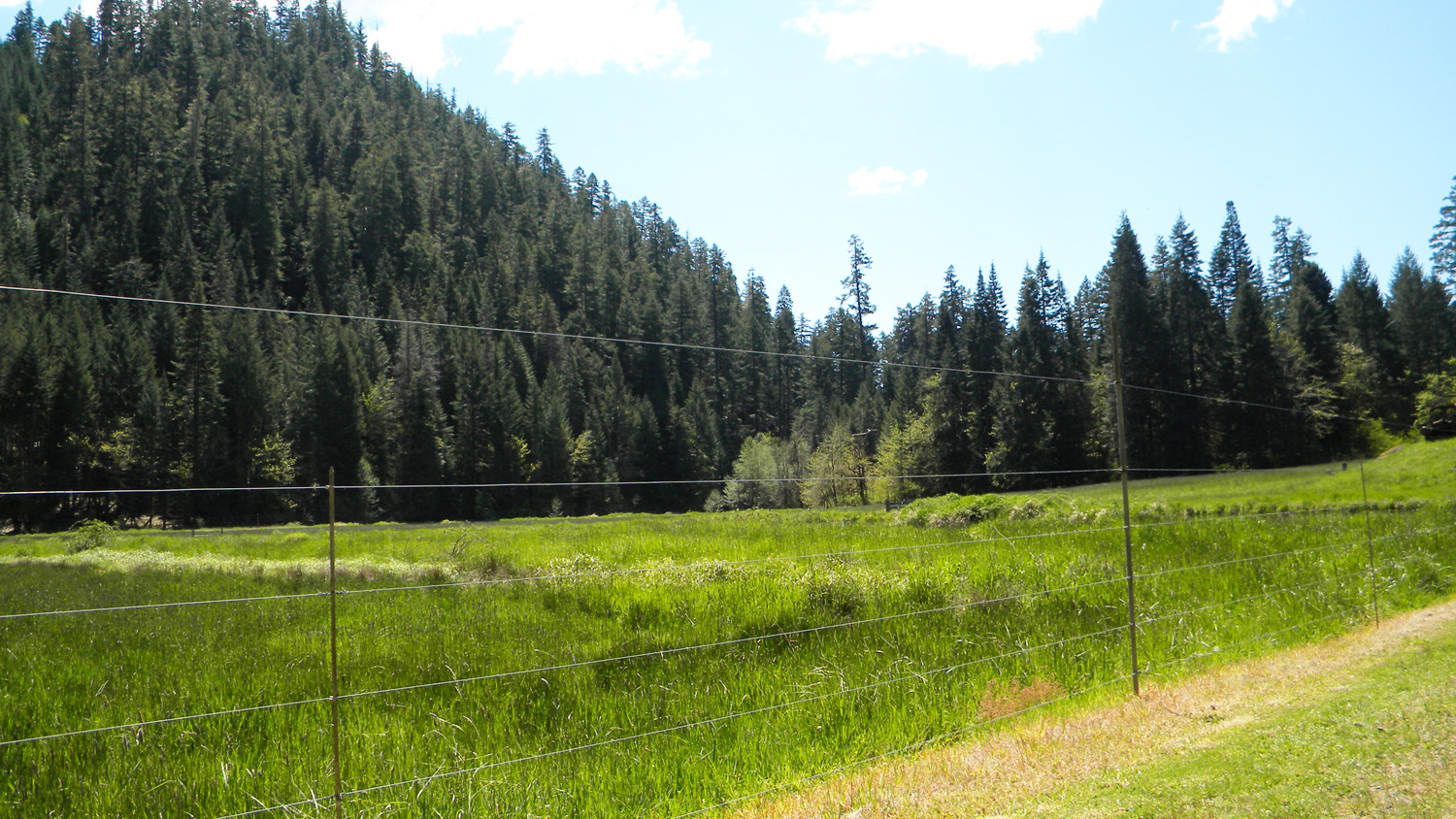
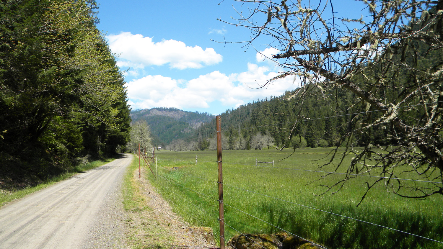
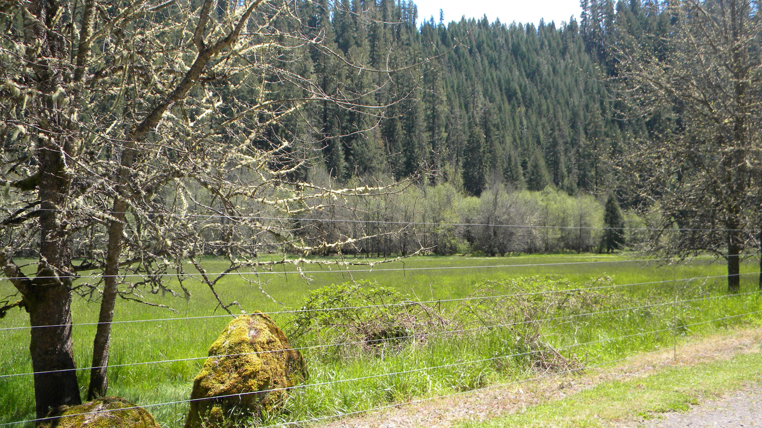
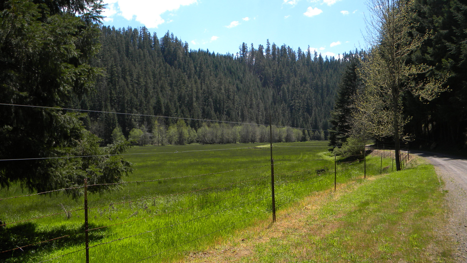
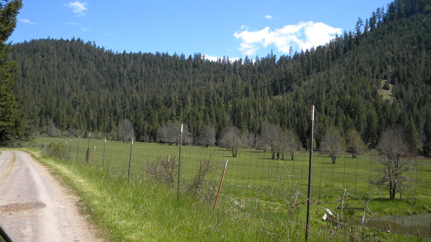
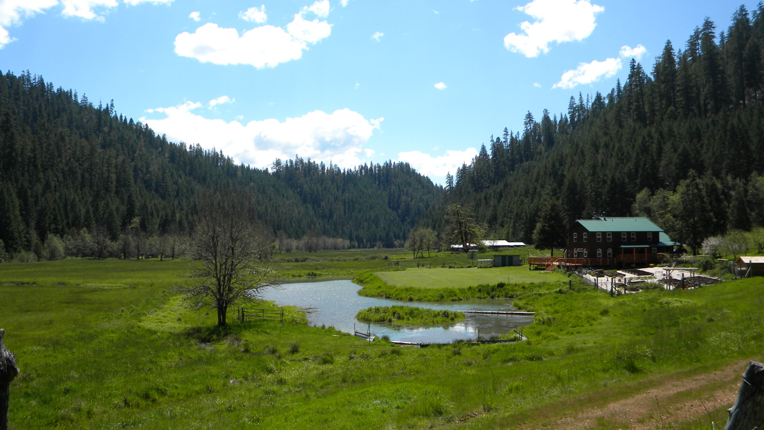
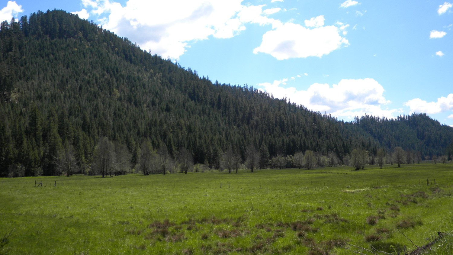
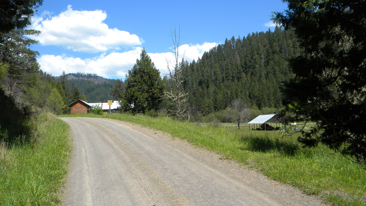
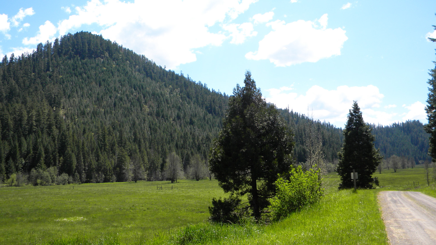
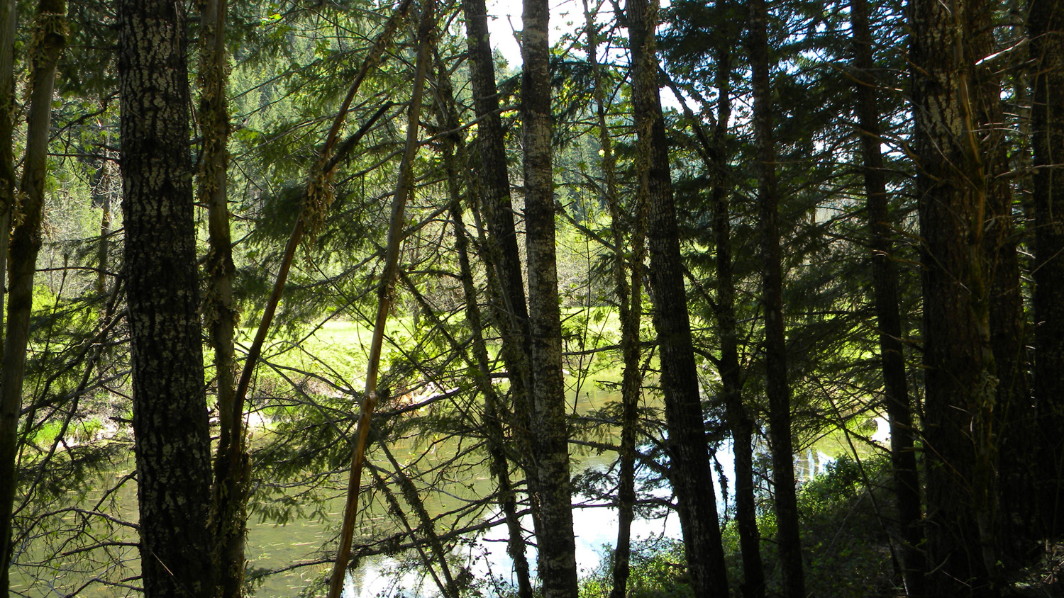
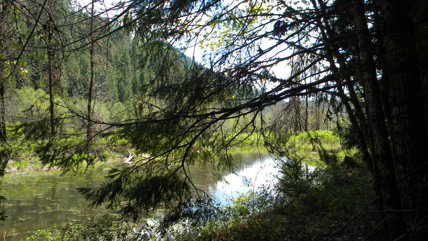
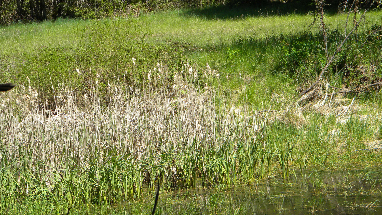
Ash Valley
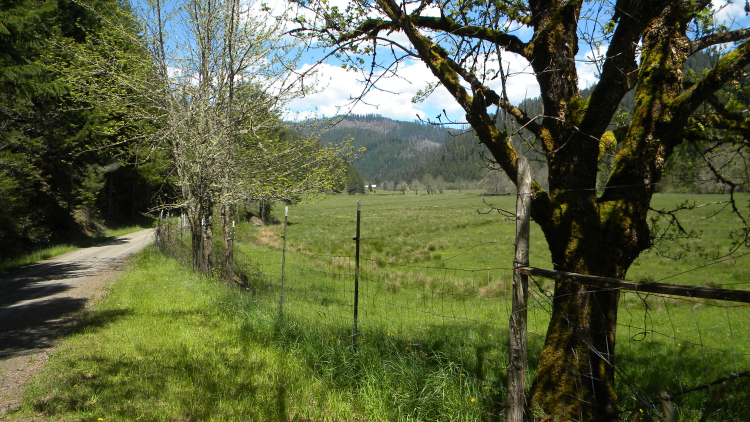
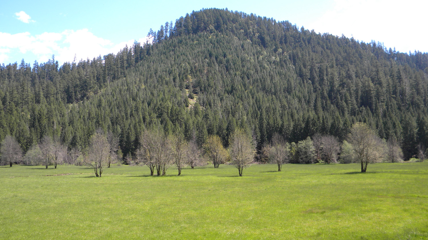
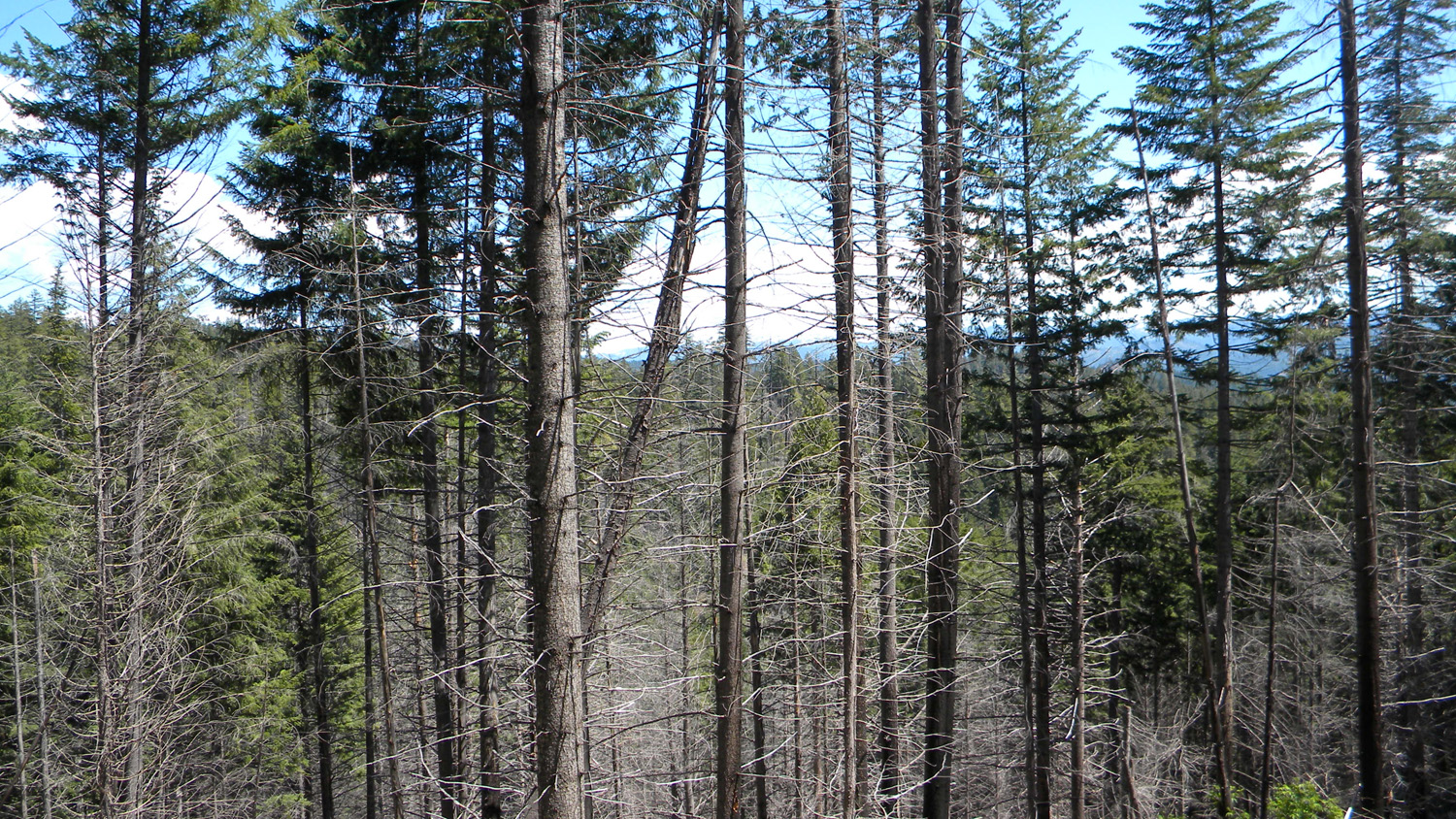
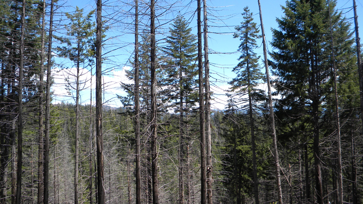
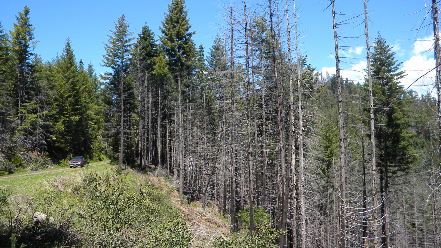
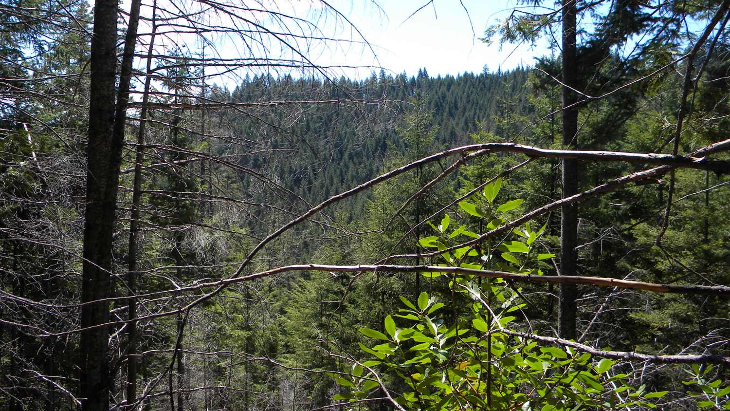
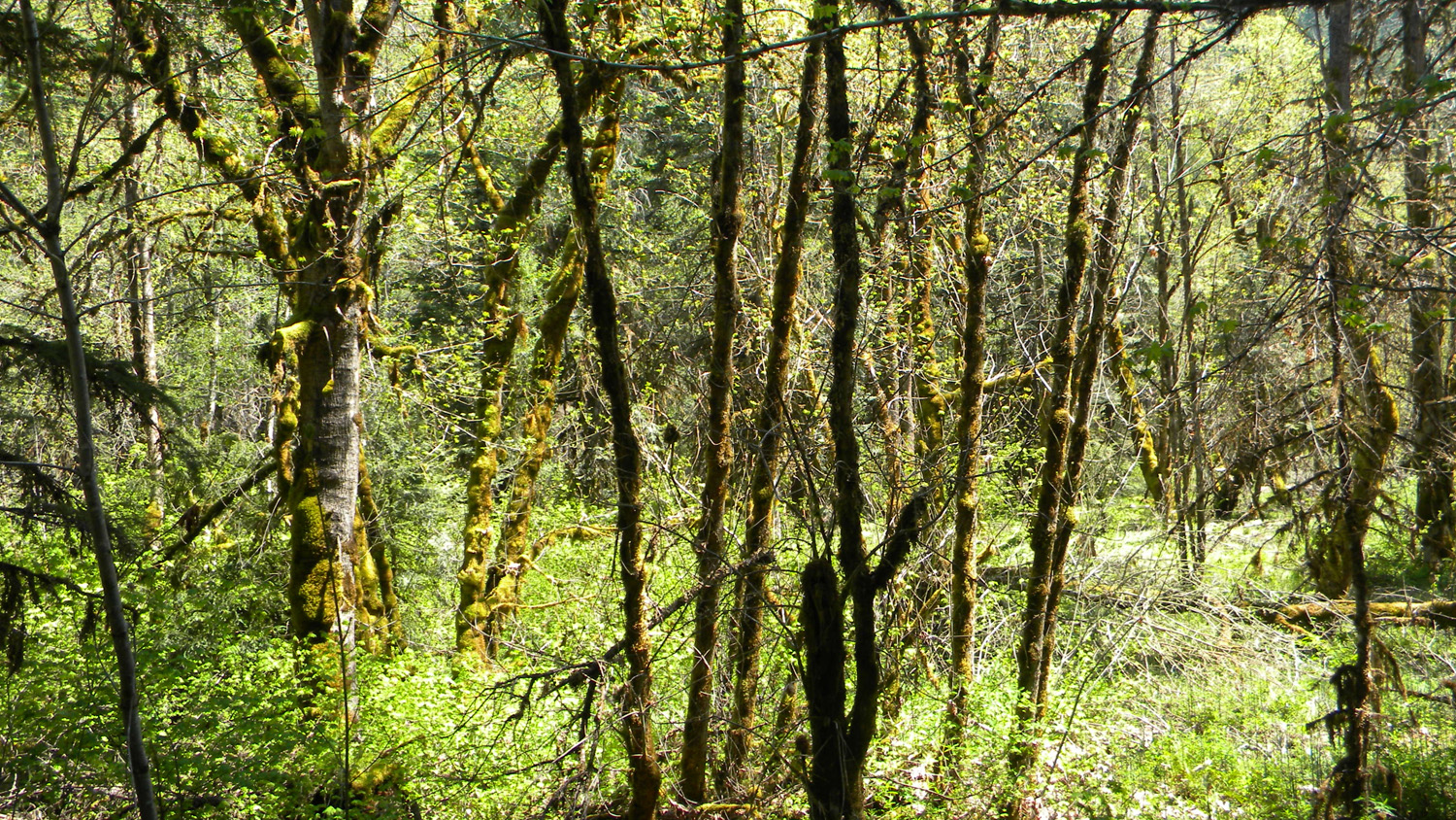
Ash Valley, South Umpqua River, Douglas County, Oregon, May 13, 2010 (B. Zybach).
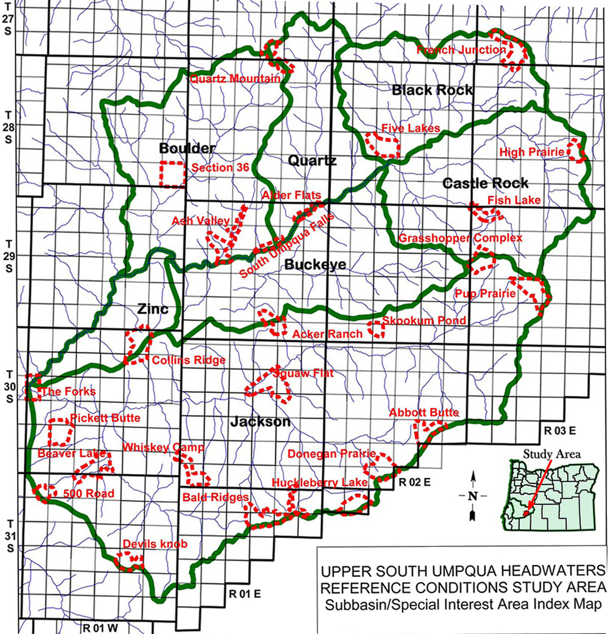
Ash Valley Area of Special Interest is located
within the Boulder Creek subbasin of the South
Umpqua River drainage in Tsp. 29 S., Rng. 1 E.
This page includes specific maps
and aerial photographs of Ash Valley, and individual historical
and 2010 documentary photographs showing current
condtions, native plants and animals, and other points of interest related
to this study area.
<
![]()
Subbasin Index Map
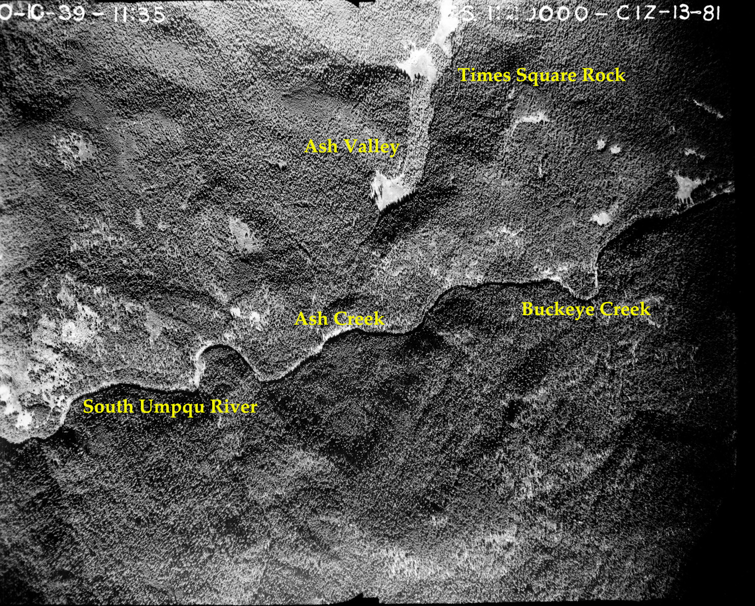
Tsp. 29 S., Rng. 1 E.
October 10, 1939
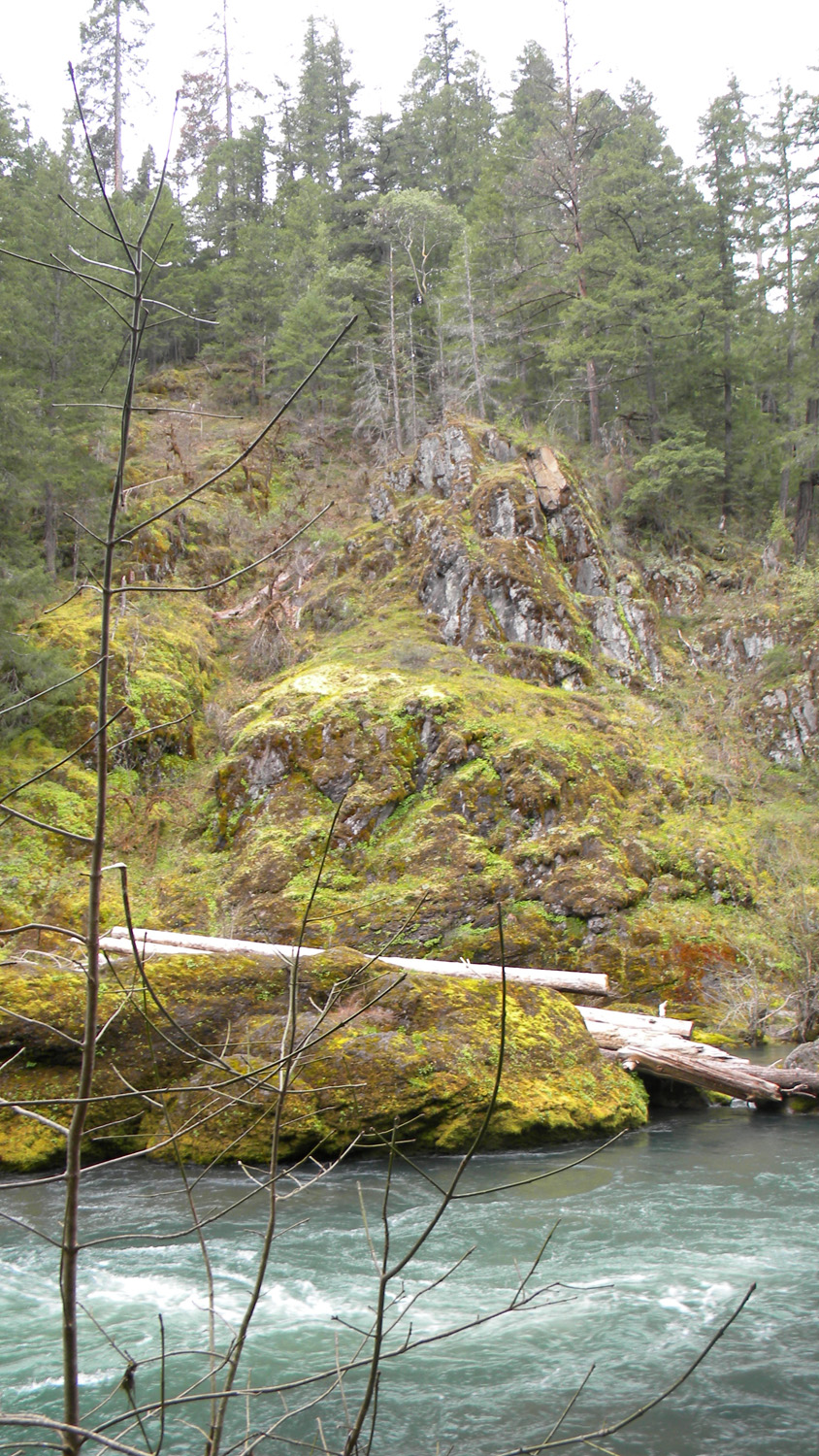
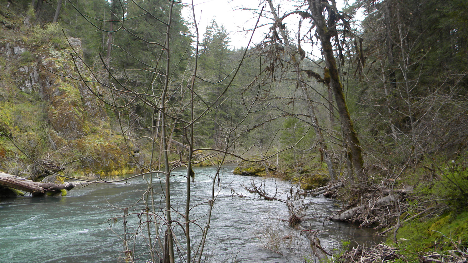
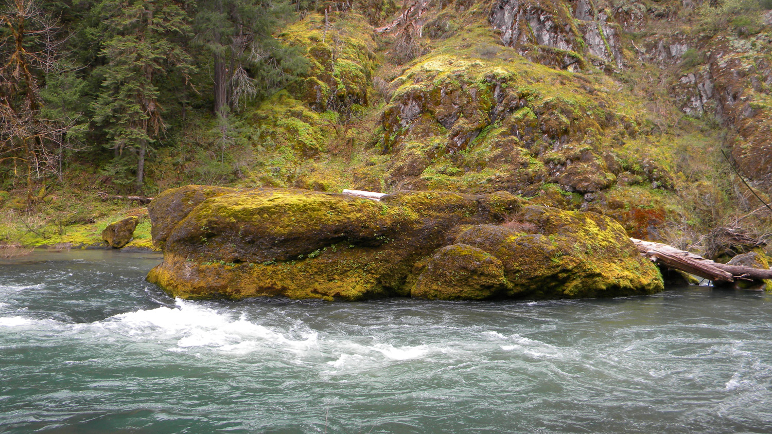
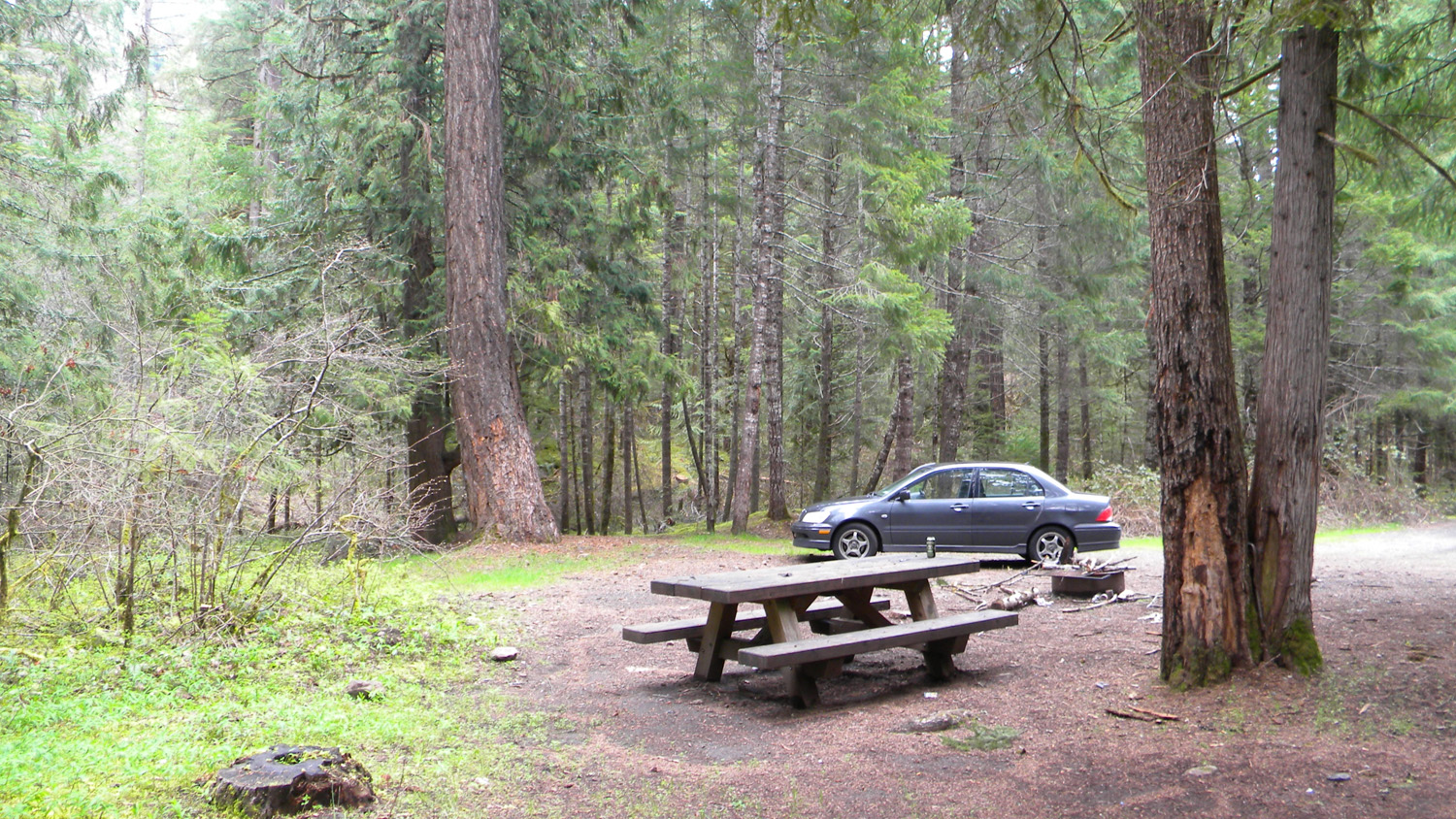
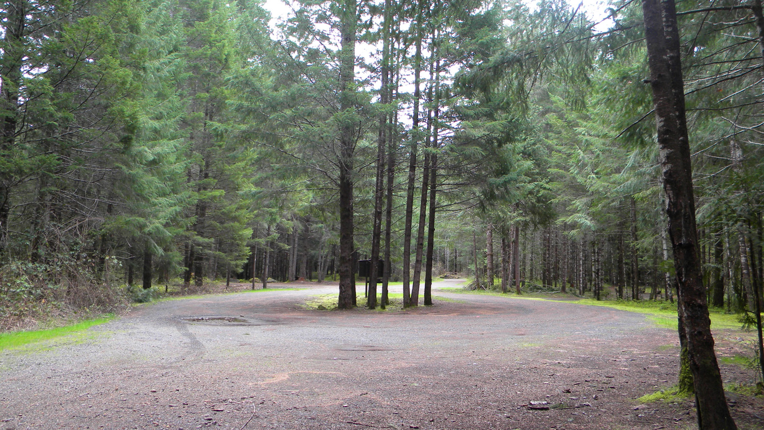
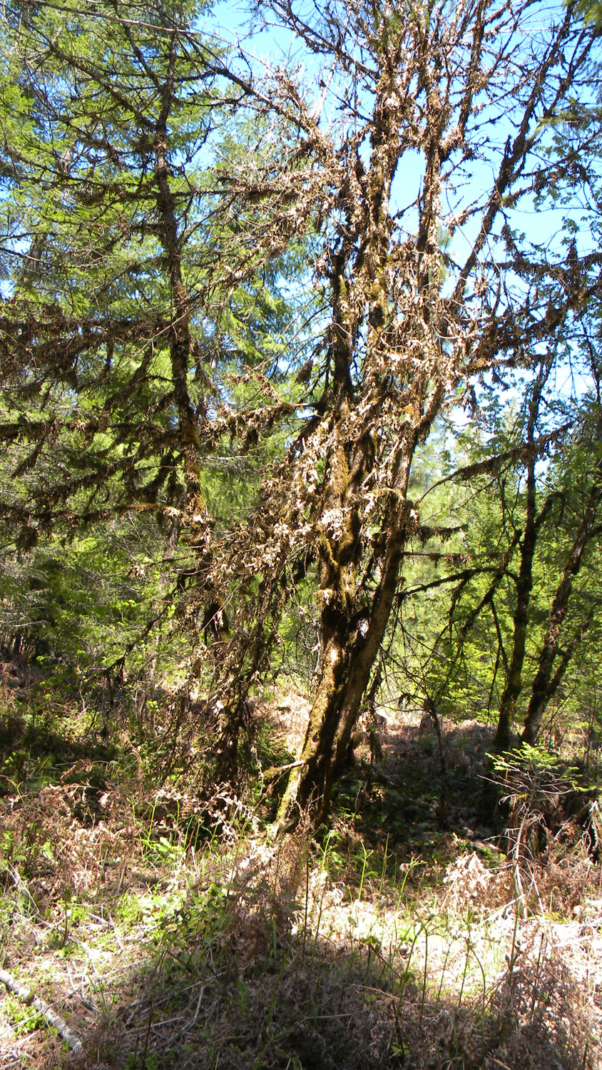
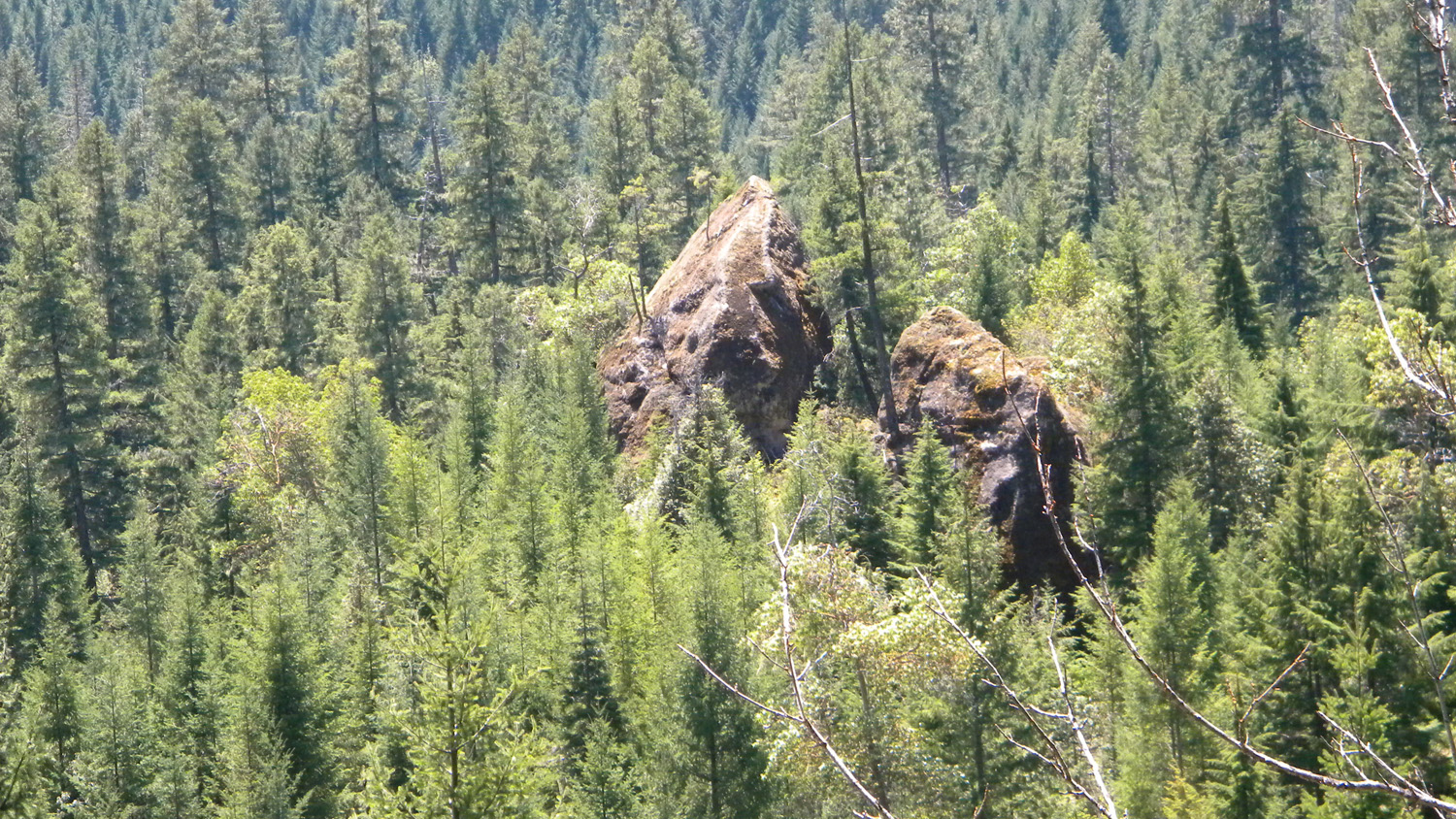
1314_Umpqua_Rocks1316_Umpqua_River1317_Umpqua_Rocks1318_Campground1319_Campground
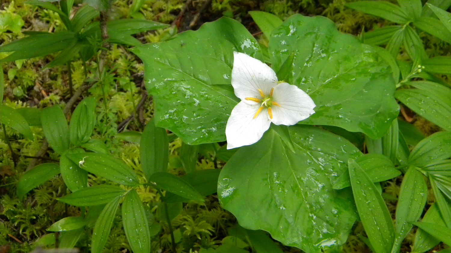
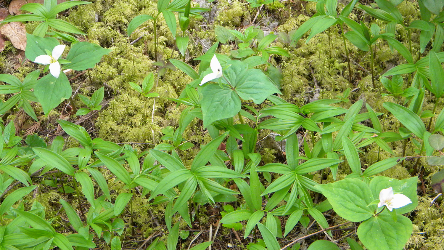
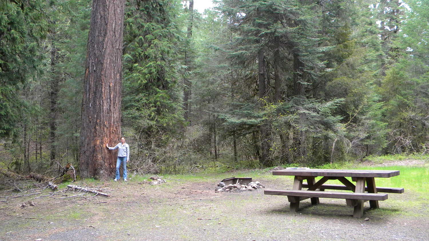
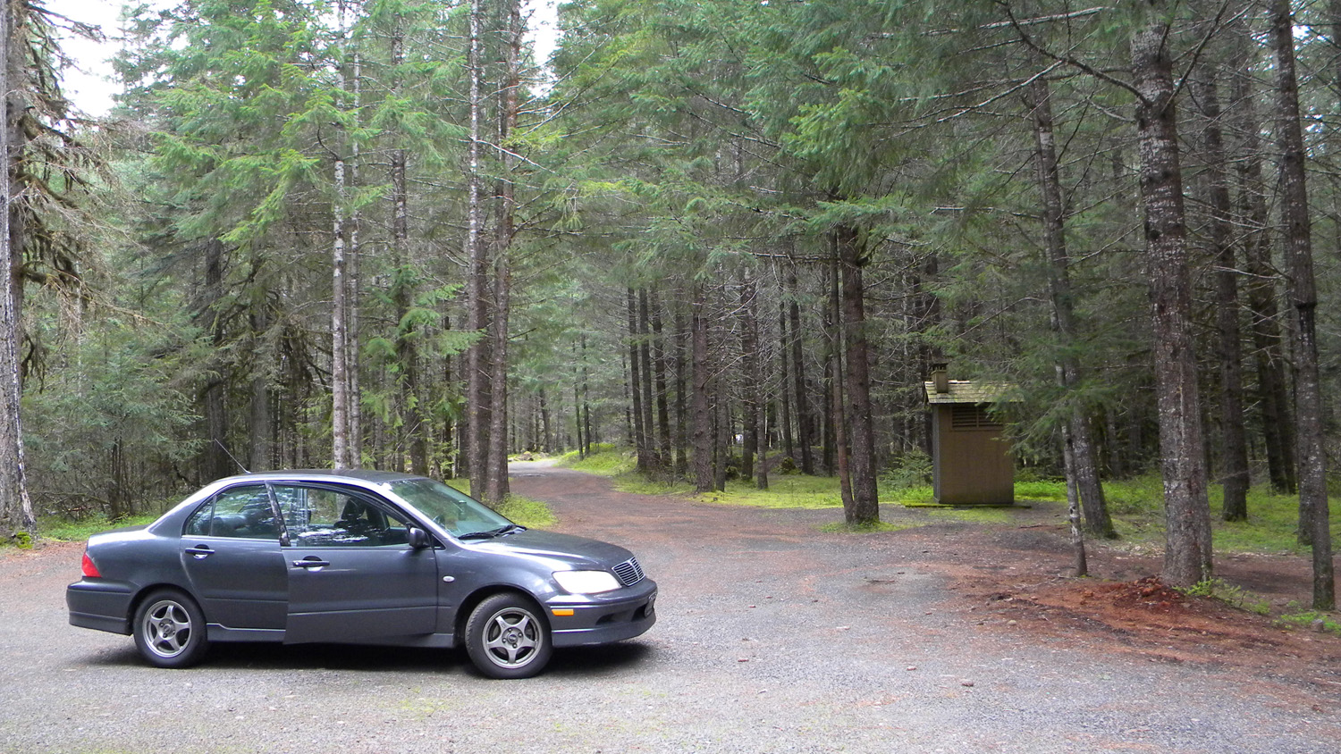
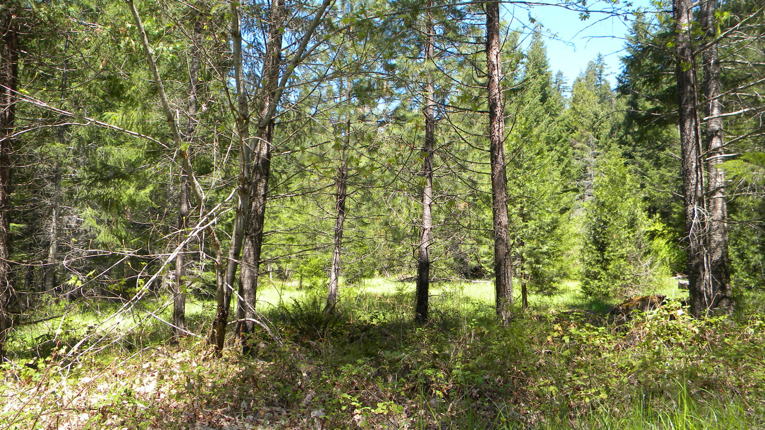
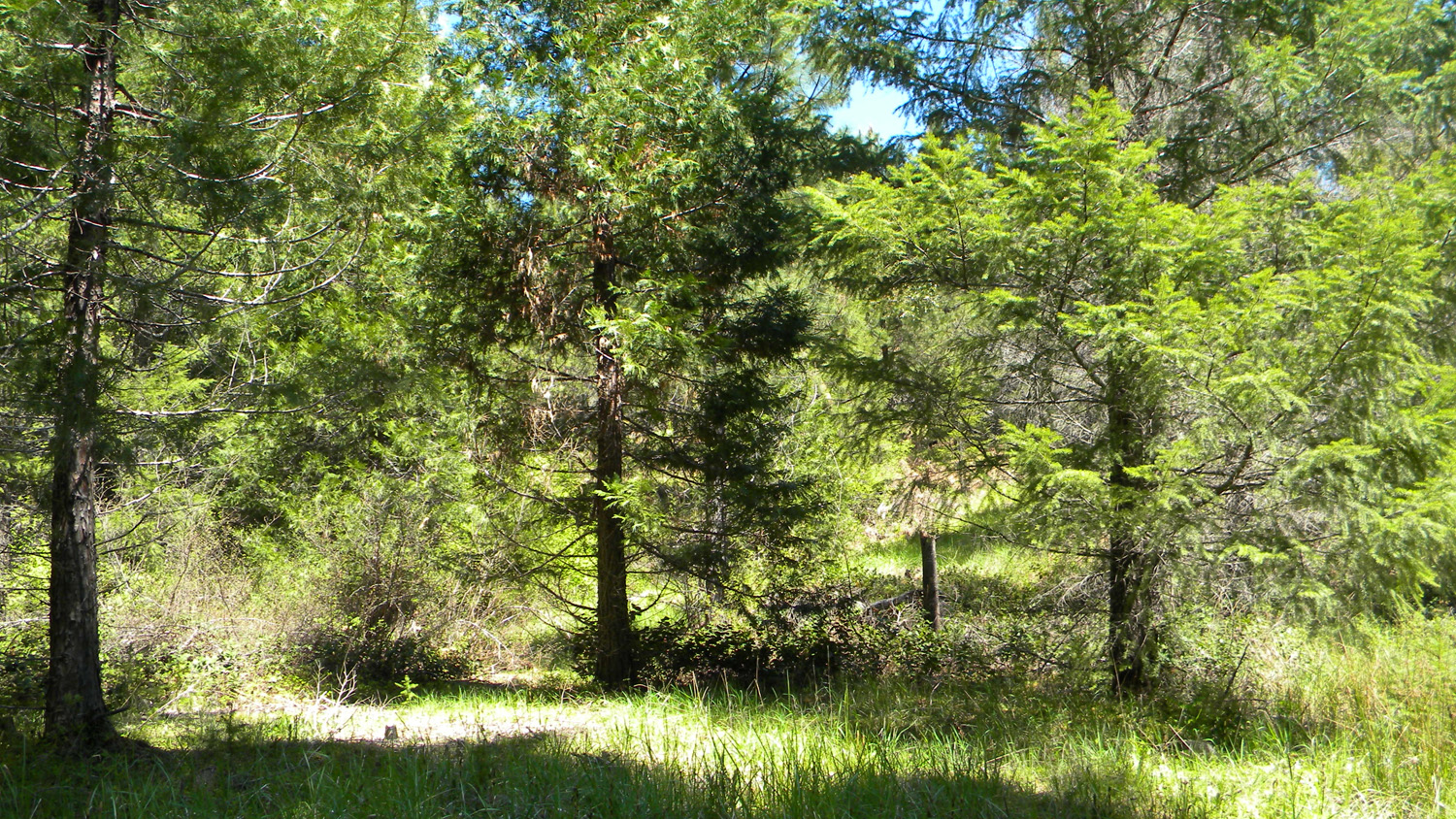
1320_Trillium1321_Trillium_Moss1322_Old_Growth1323_Outhouse2465_2826_Road
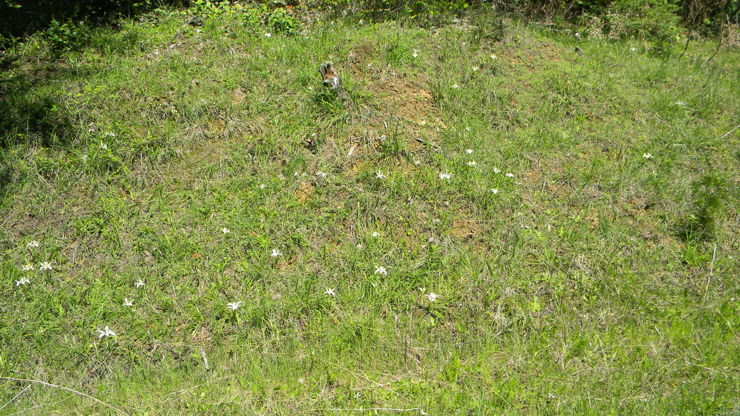
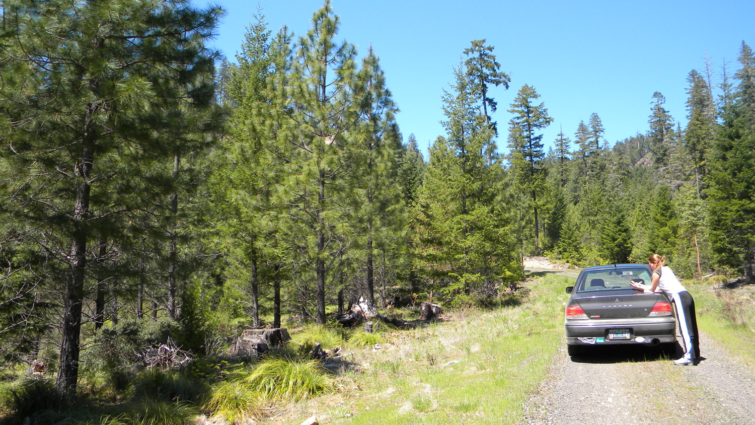
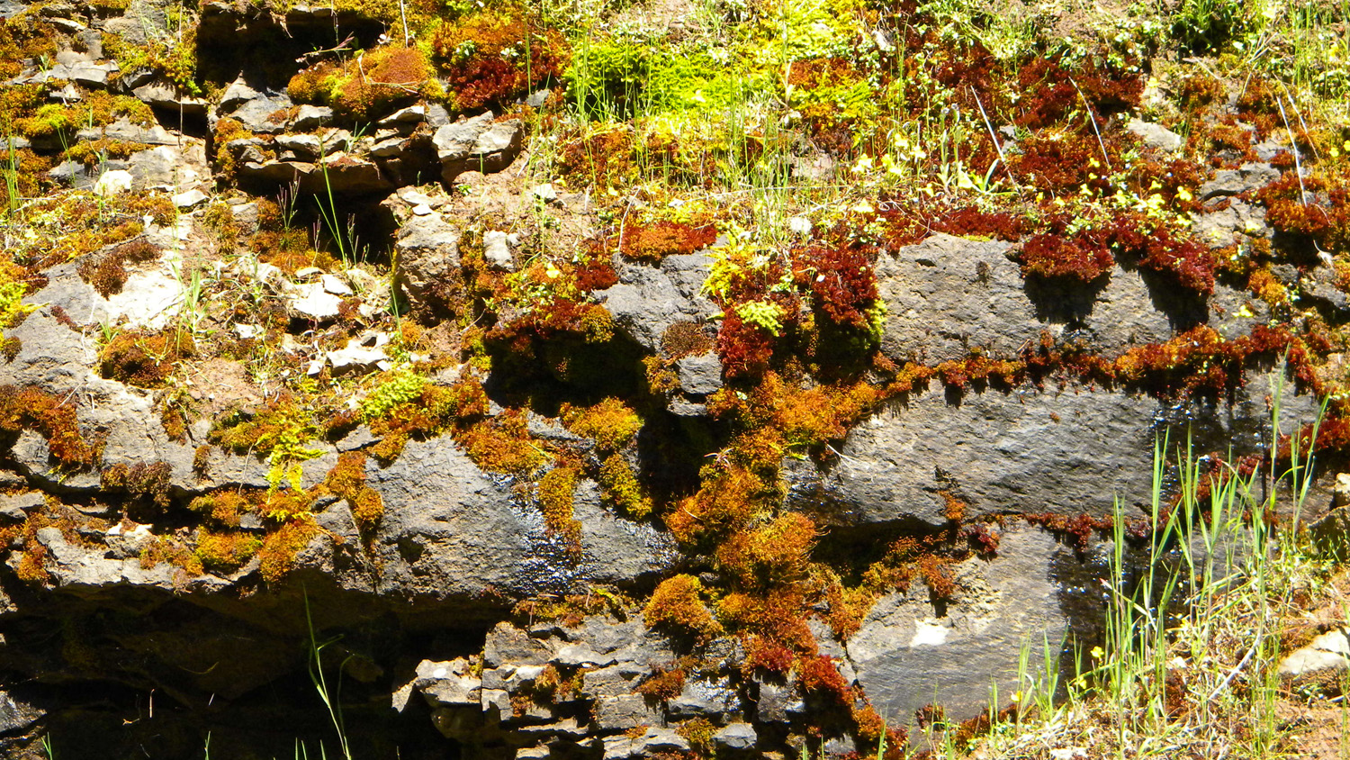
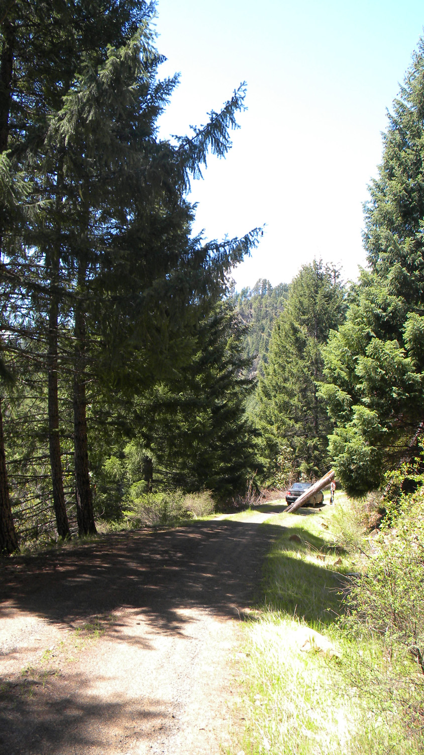
2466_2826_Road2468_White_Flags2469_Ash2470_Beargrass2471_100_Road
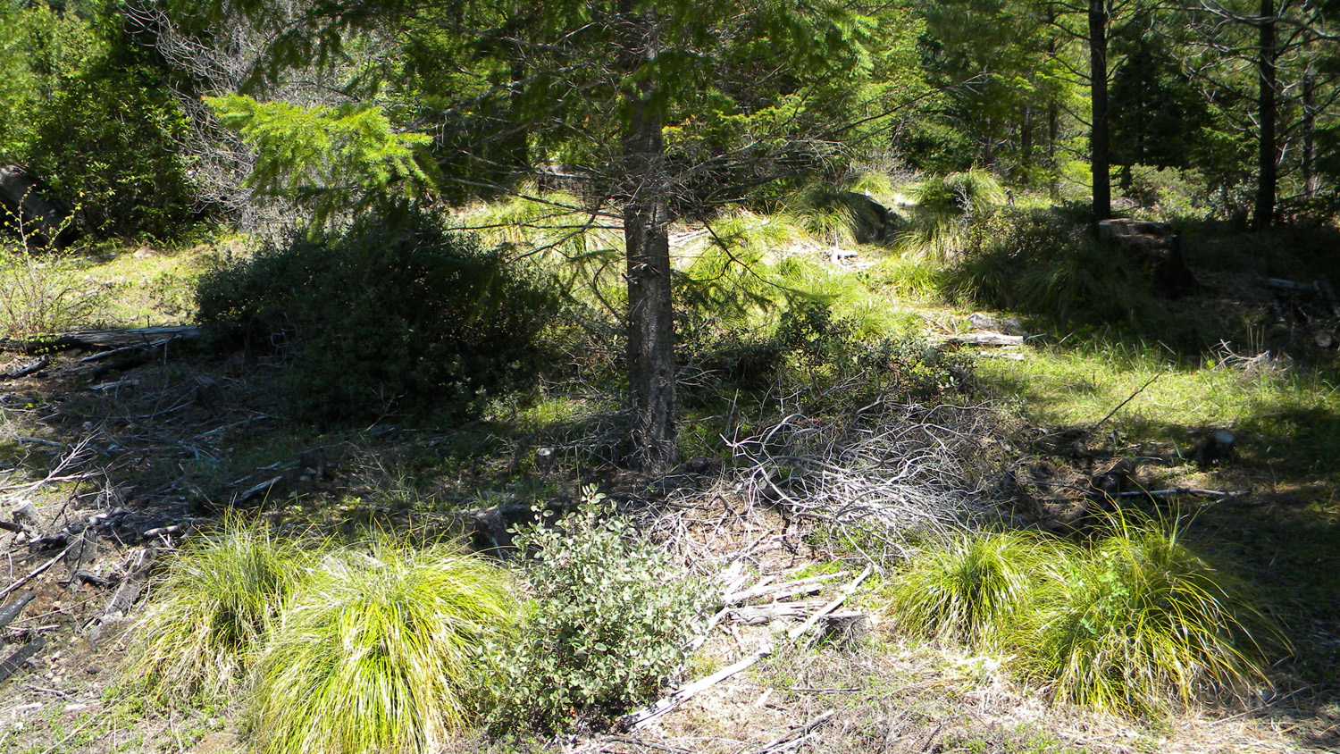
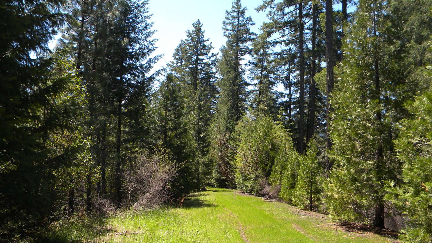
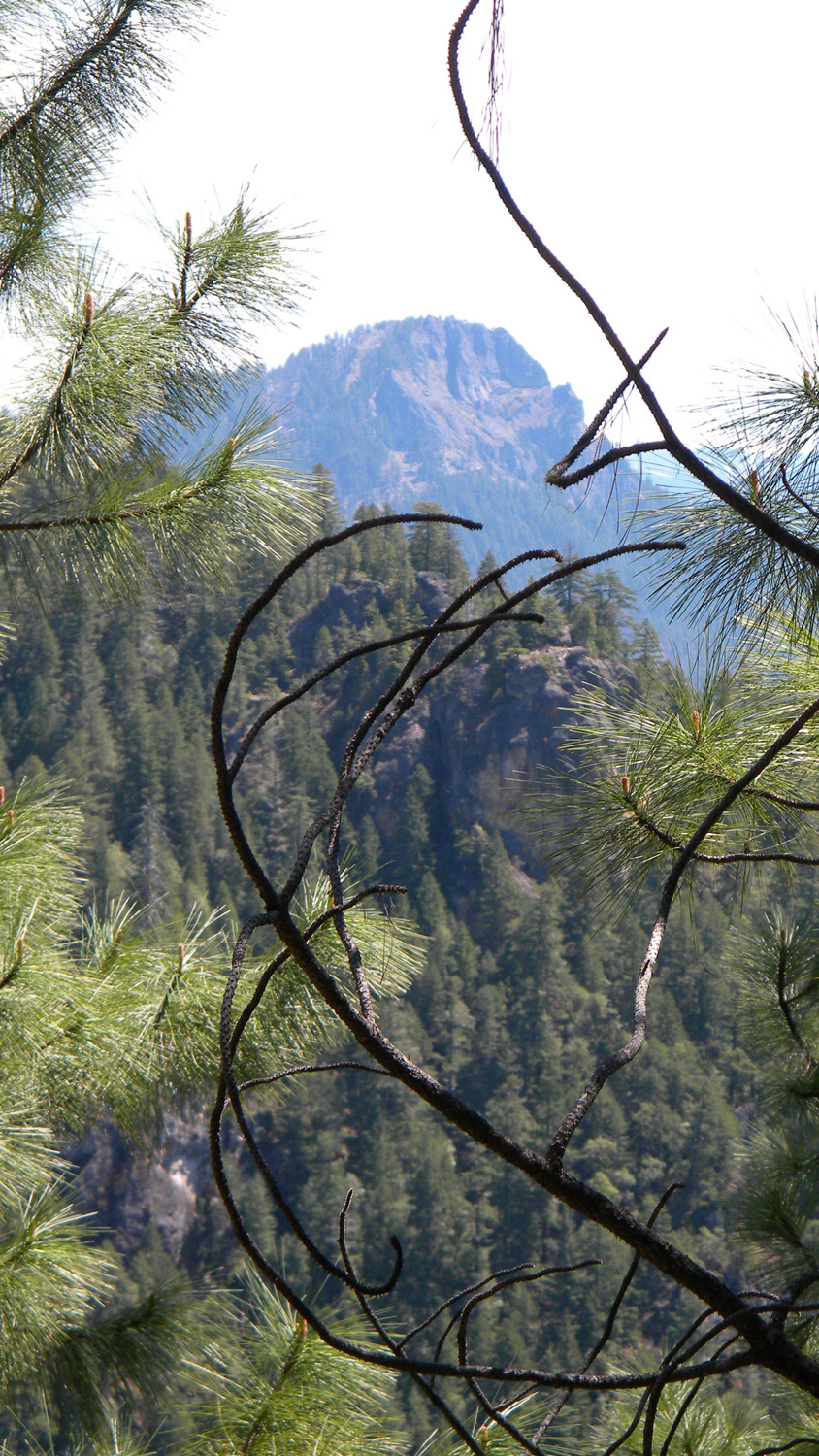
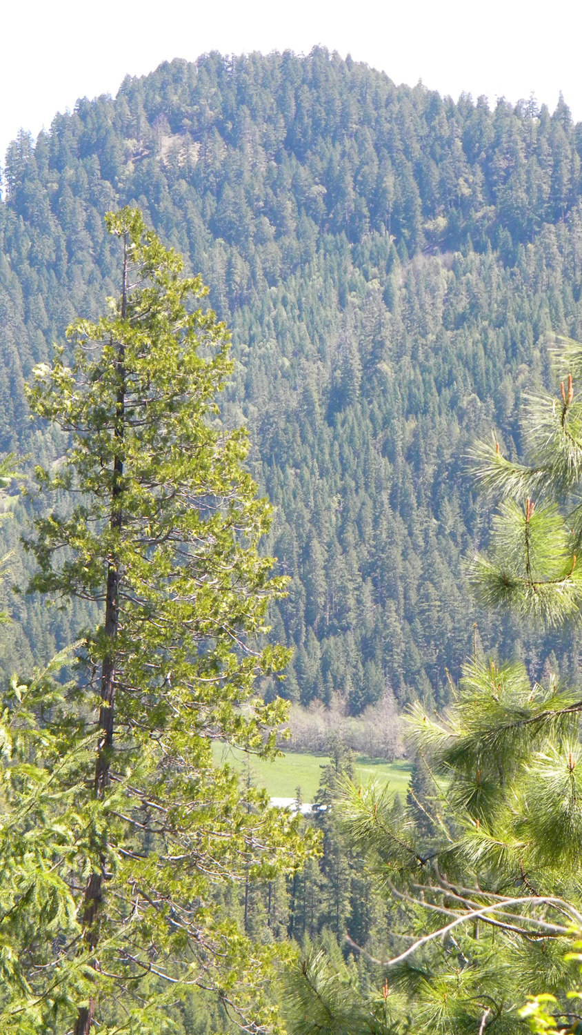
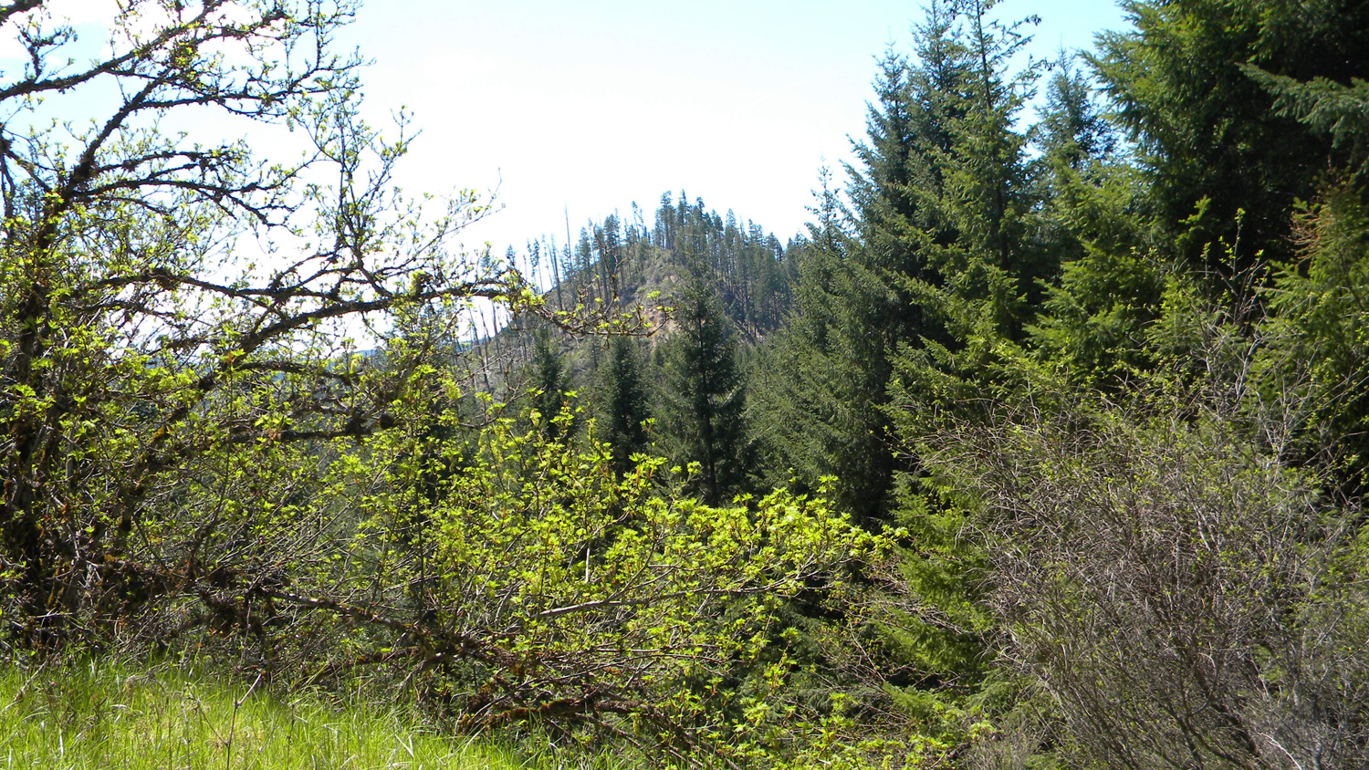
2472_Beargrass2473_Beargrass2474_325_Road2476_Acker_Rock2478_325_Road_View

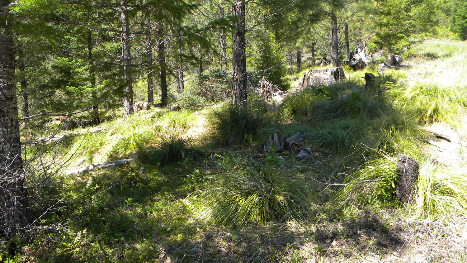
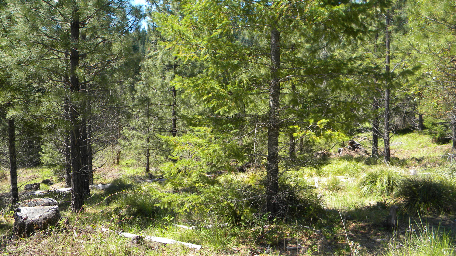
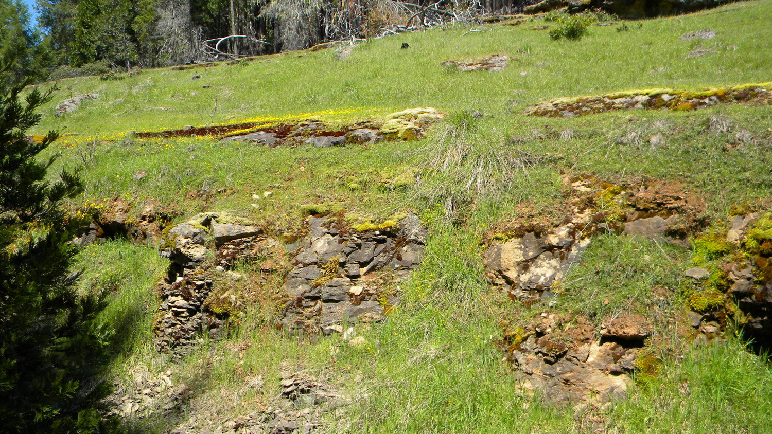
2479_325_Road2480_Ash_Wetlands2481_321_Road_Wetlands2483_Plantation2484_321_Road_Plantation
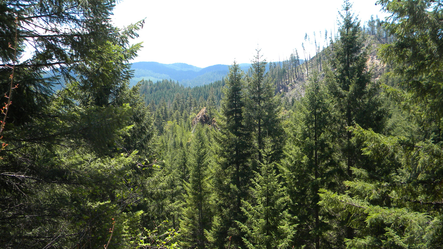
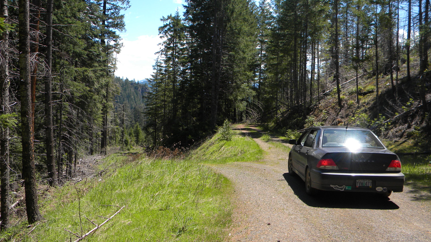
2485_100_Road2486_Burn2487_100_Road2488_100_Road_Trees2489_Trees
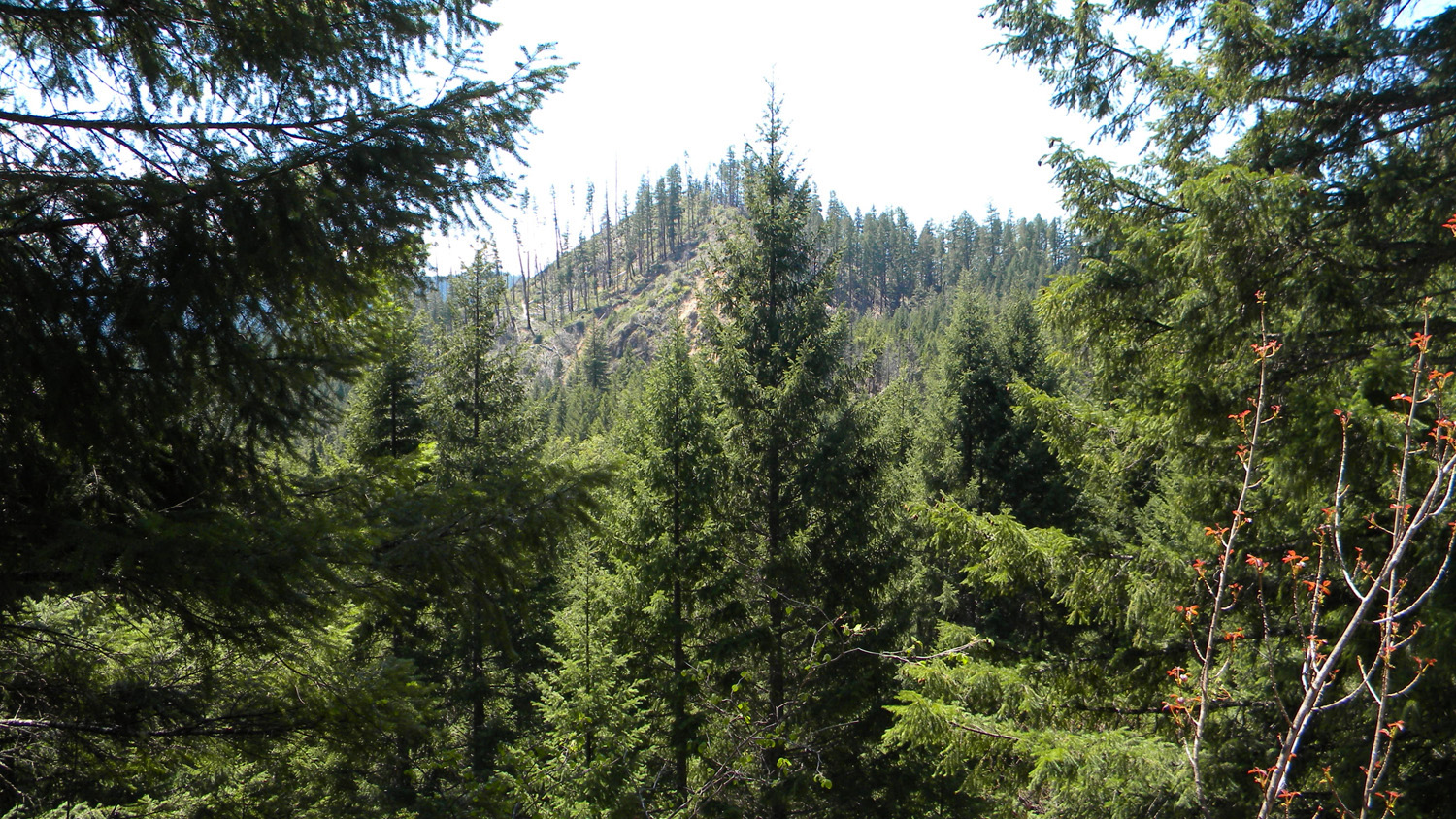
2490_Trees2491_100_Road2492_Shelf_Rock2493_Rocks2494_Shelf_Rock
2495_100_Road2496_100_Road2497_100_Road_Rock2499_100_Road2500_100_Road
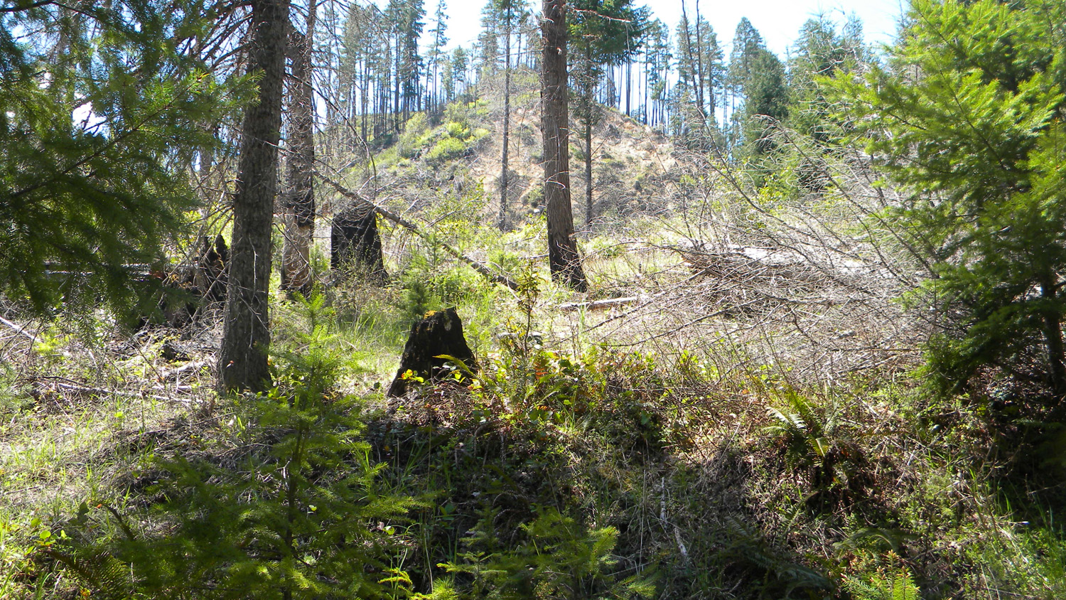
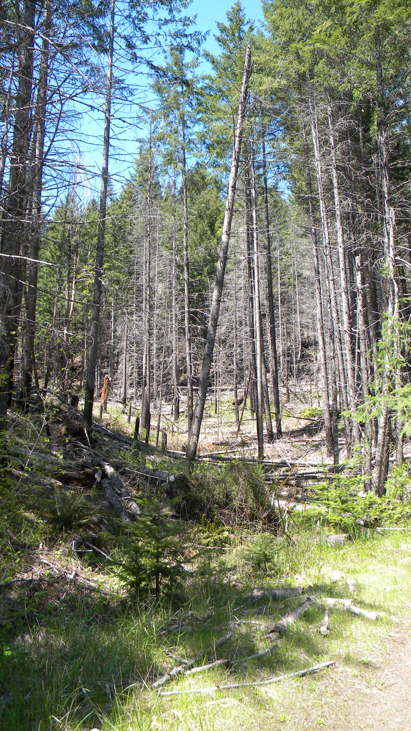
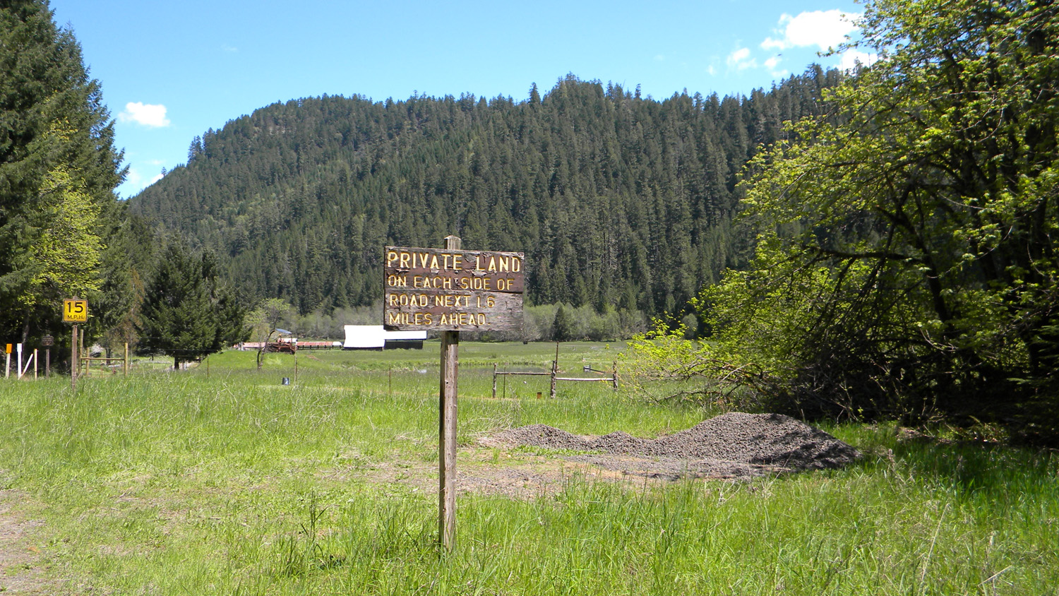
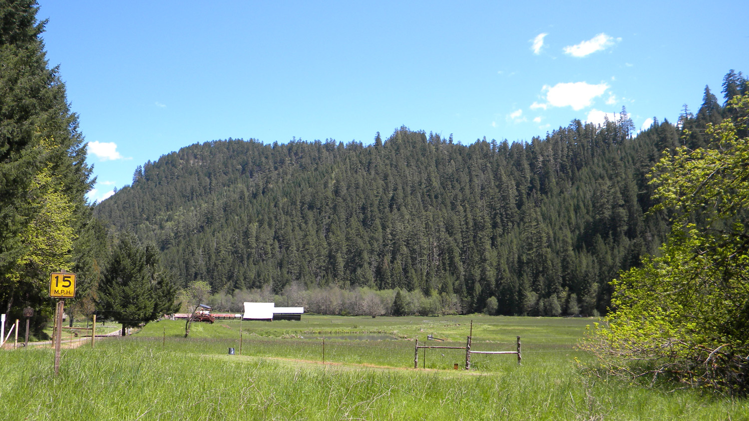
2501_100_Road2502_100_Road2503_100_Road_Burn2504_Private_Land2505_Ash_Valley
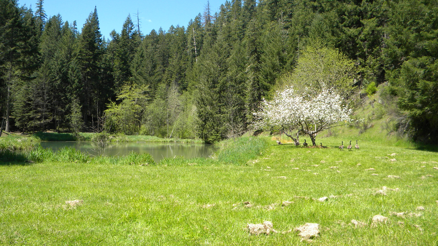
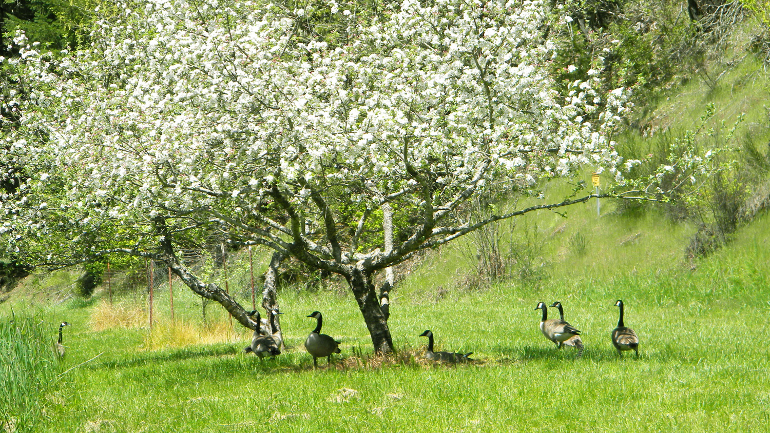
2506_Geese_and_Pond2507_Geese2508_Ash_Valley2509_Ash_Valley2510_Ash_Valley
2511_Ash_Valley2512_Ash_Valley_Oak2514_Ash_Valley2515_Ash_Valley2516_Home_and_Pond
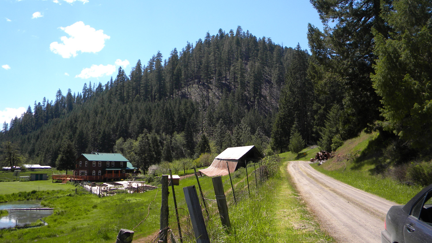
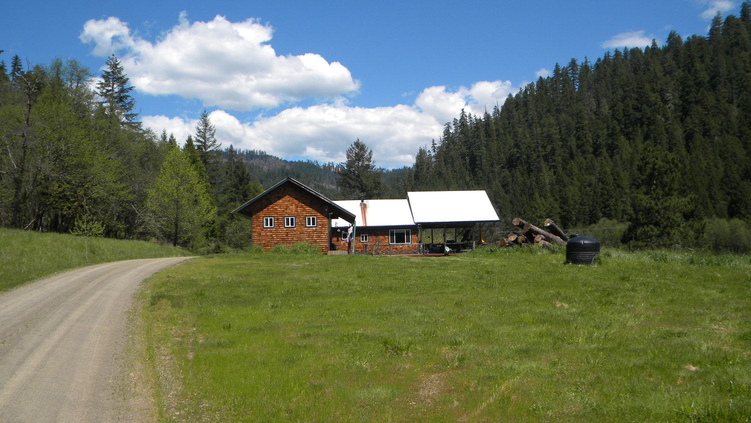
2517_House2518_Ash_Valley2519_Ash_Valley2520_House2521_Ash_Valley
2551_Ash_Valley_Pond2552_Ash_Valley_Pond2554_Ash_Valley_Pond2556_Ash_Valley_Pond