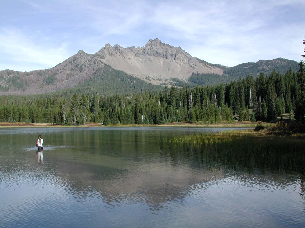
B&B Complex
Repeat Photography Grid Project
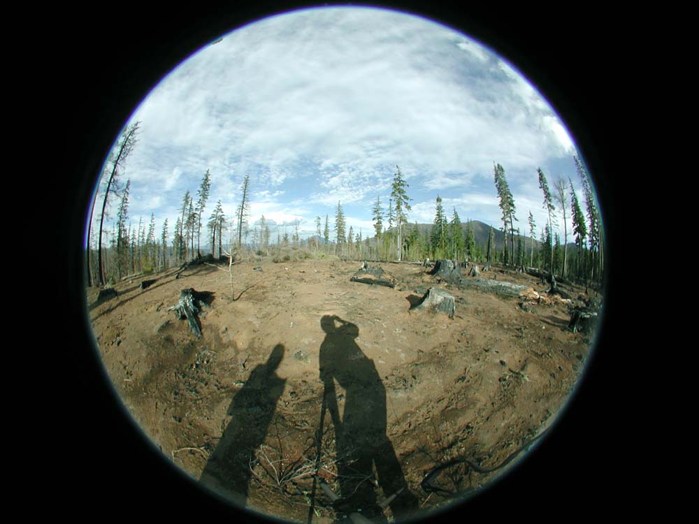
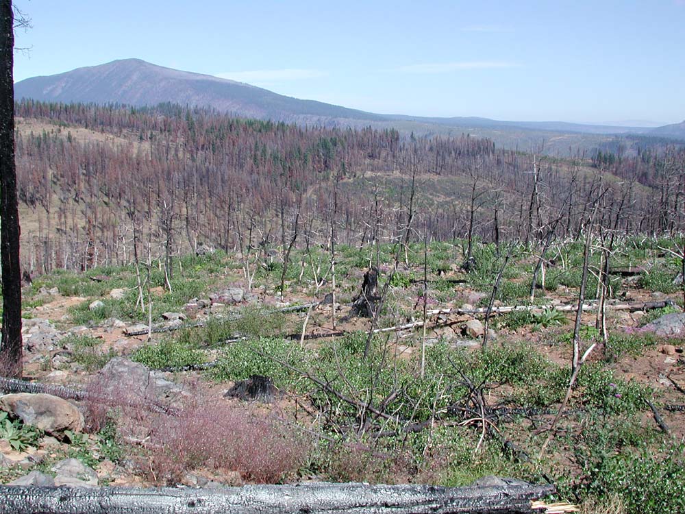
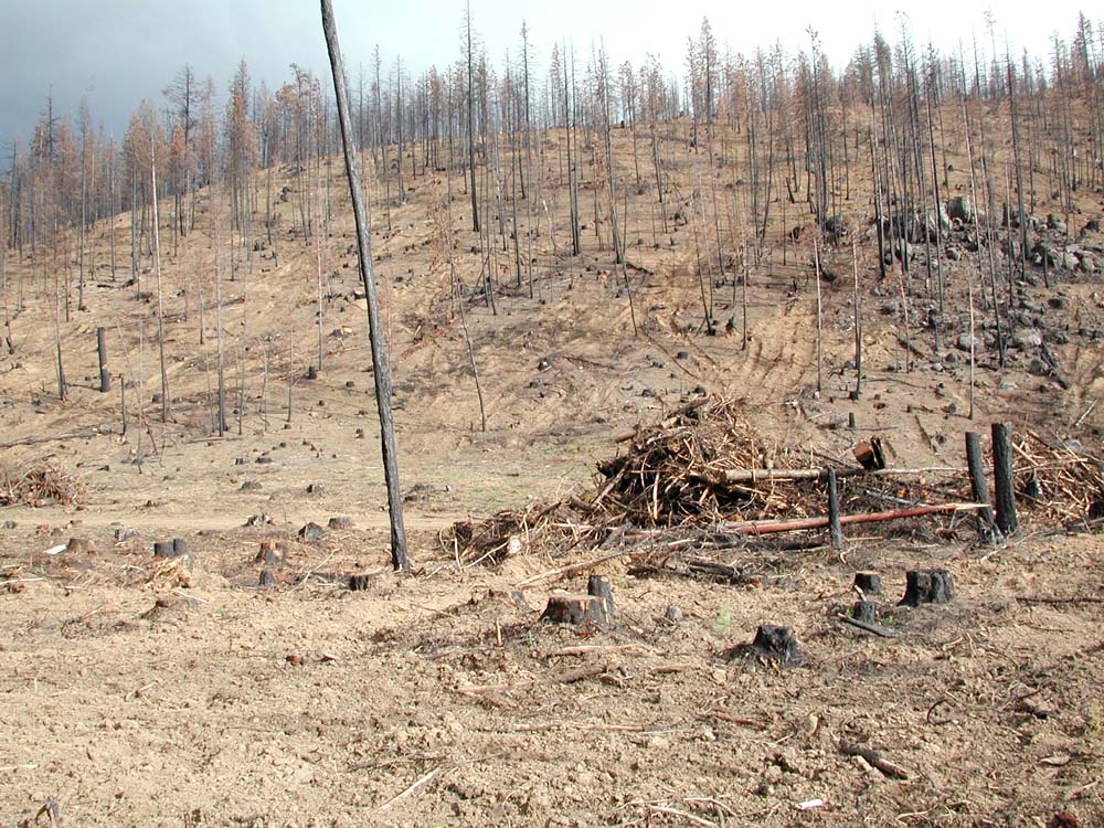
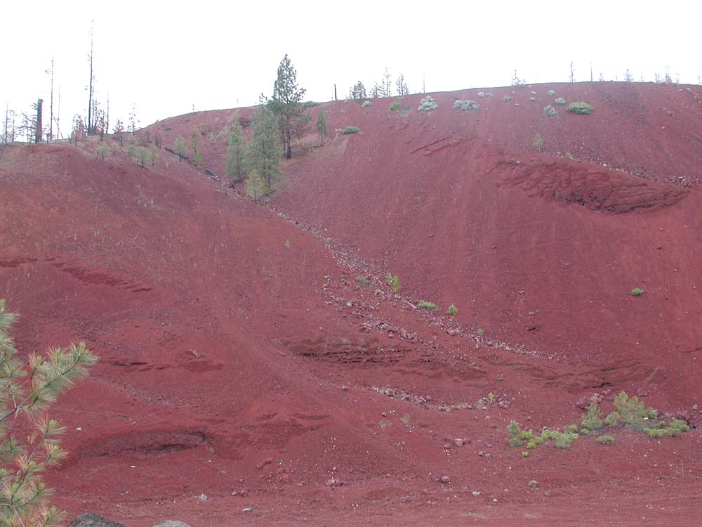
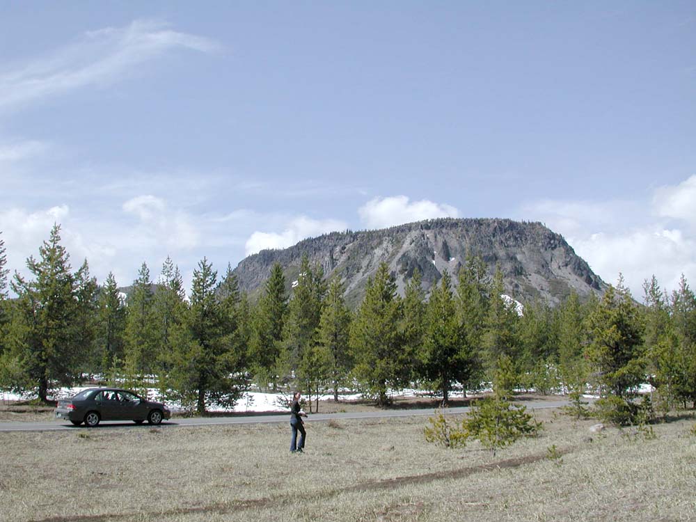
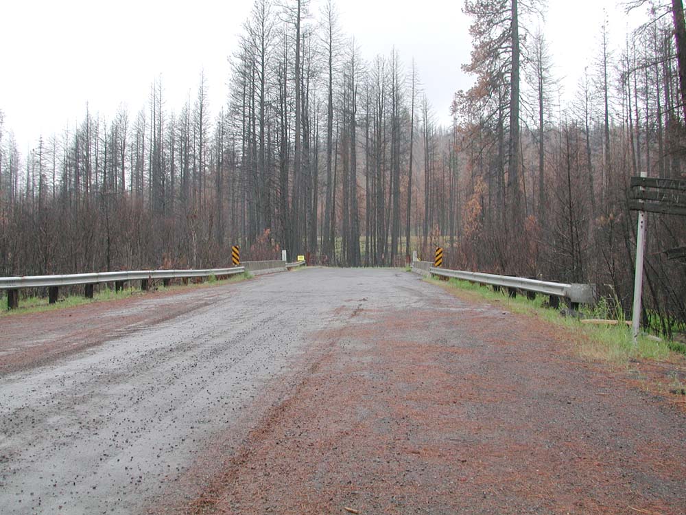
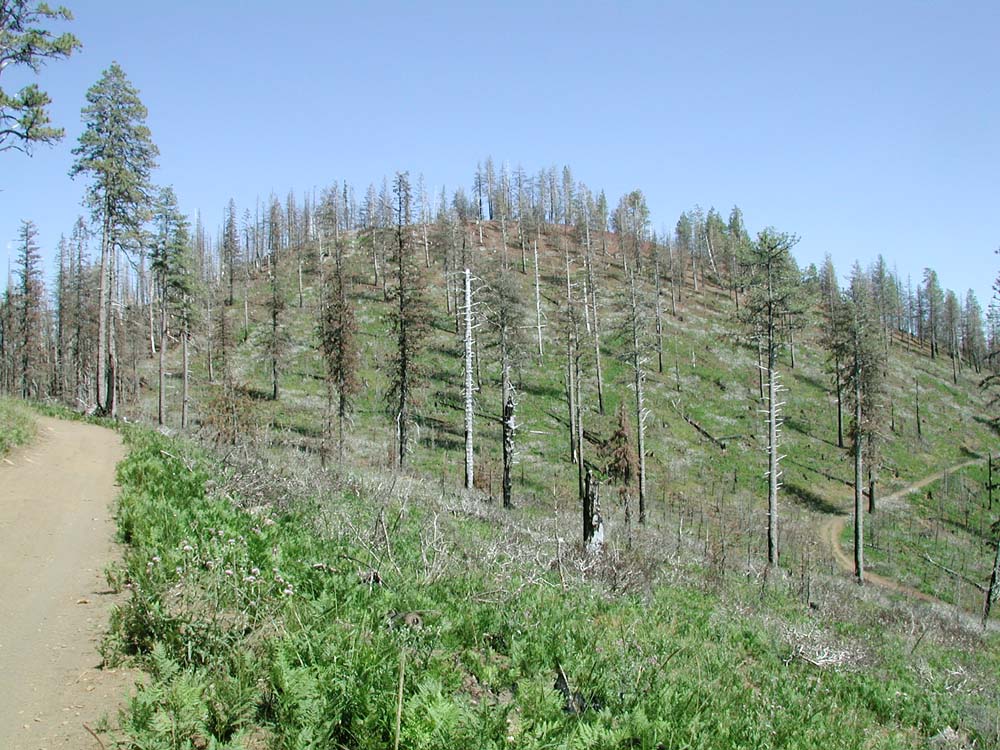
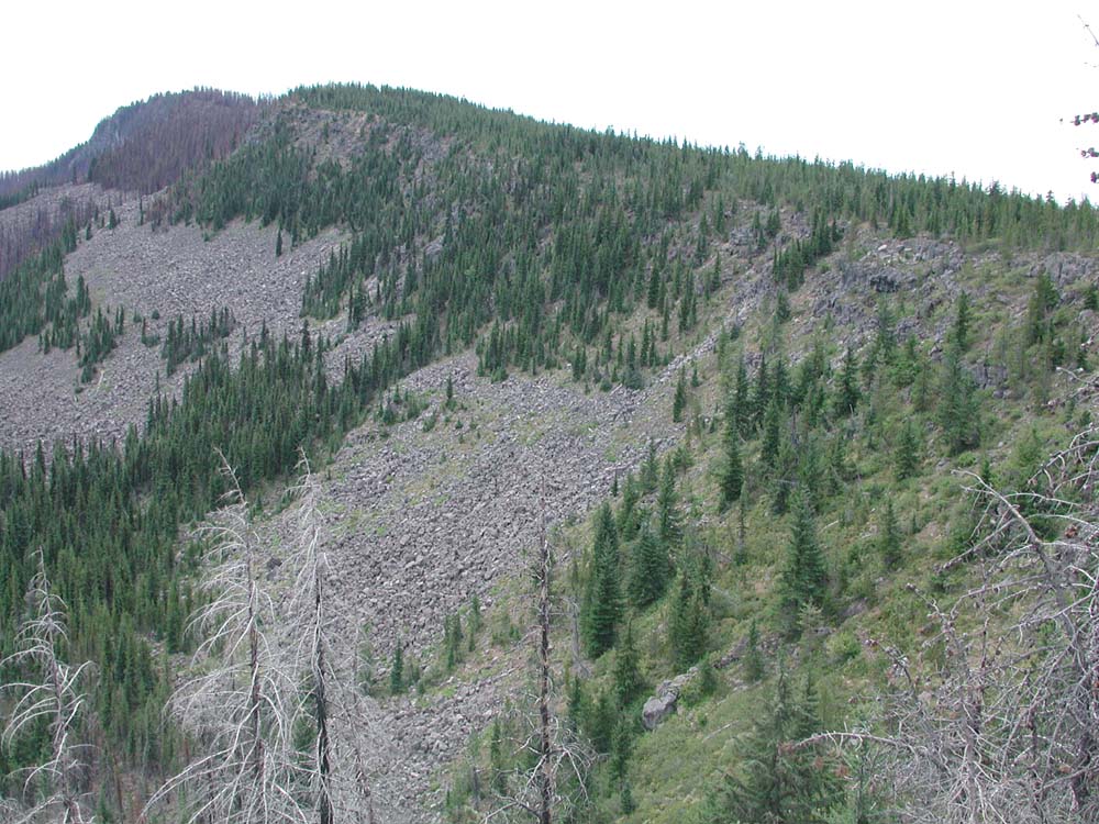
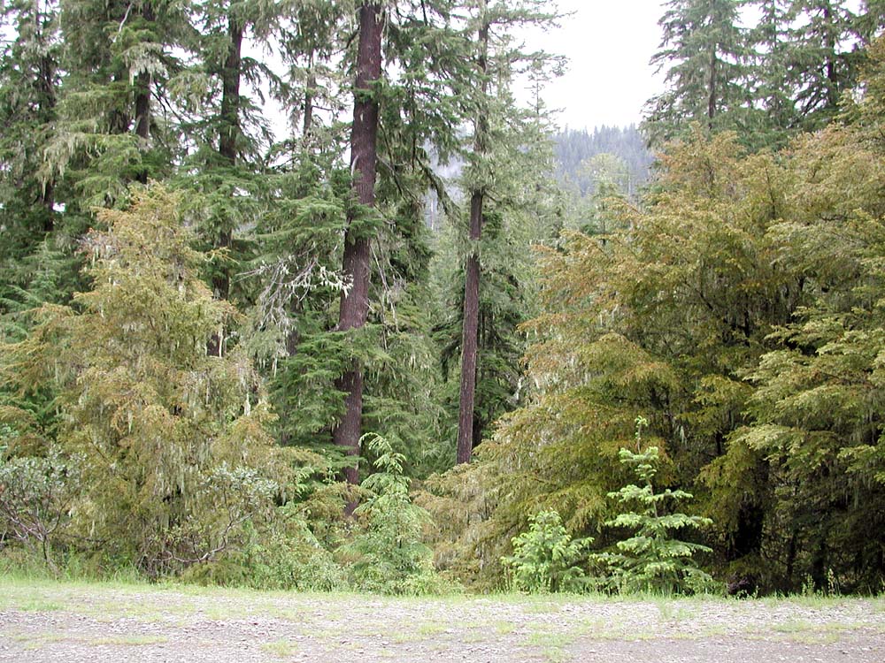
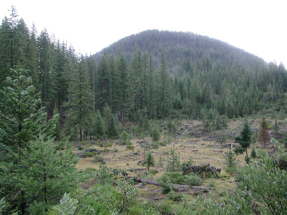
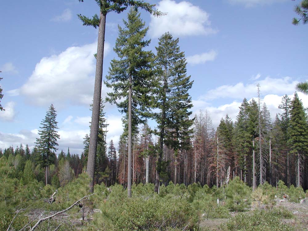
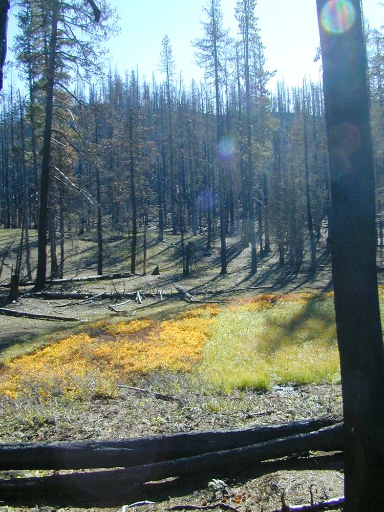
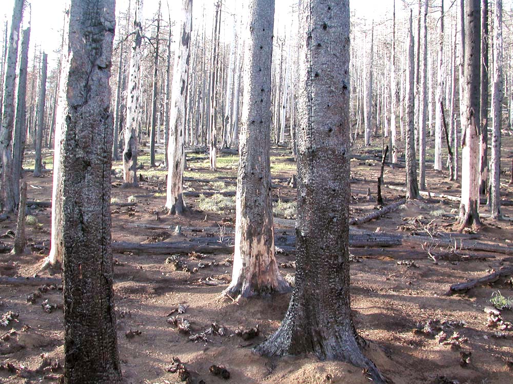
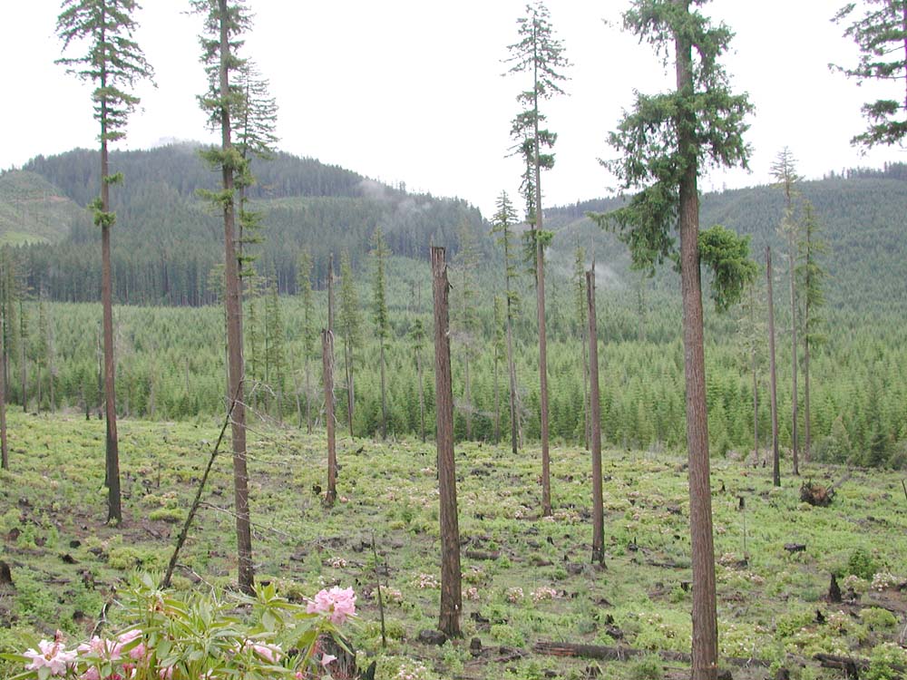
Fisheye Hill commercial thinning, May 13, 2004
The Repeat Photography Grid Project is a systematic photographic documentation of the 2003 B&B Complex Fires area. The project involves the establishment of numerous GPS coordinates at specific sites located throughout the study area for the purposes of taking repeat panoramic photographs over time from those locations. The project was started in March, 2004 by Bob Zybach and Nana Lapham in collaboration with Oregon Websites and Watersheds Project, Inc., Oregon State University Ethnic Studies Department, Oregon State University Department of Forest Sciences, Pacific Northwest Research Station, and NW Maps Co., of Corvallis, Oregon.
Project Description and Purpose
Project Description and Purpose
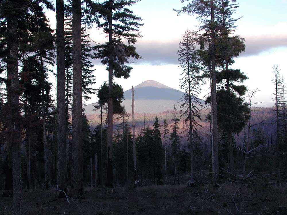
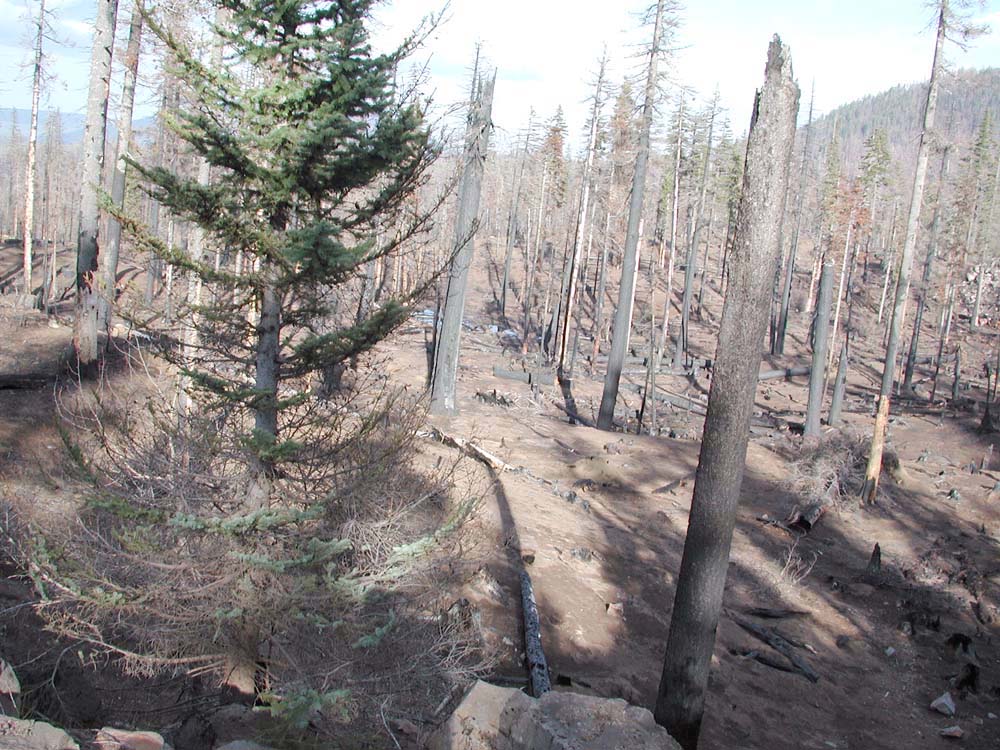
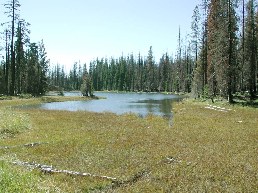
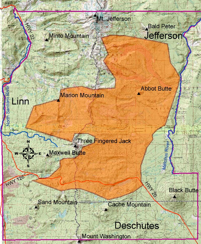
The Repeat Photography Grid Project is a systematic photographic inventory of the 2003 B&B Fire study area. The study includes the entire burned area--nearly 100,000 acres--and a perimeter of unburned land included for comparitive purposes and fire event analysis. The general boundaries of the study are Mt. Jefferson to the north (Linn and Marion county line), Mt. Washington to the south, the Metolius River to the east, and North Fork Santiam River to the west.
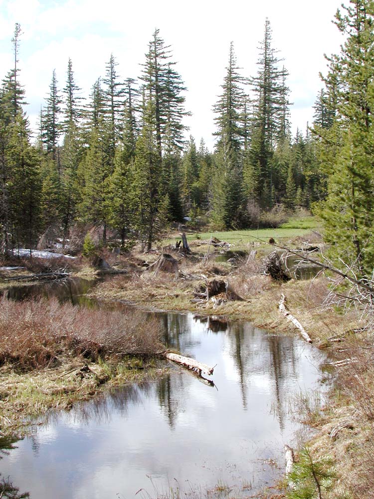
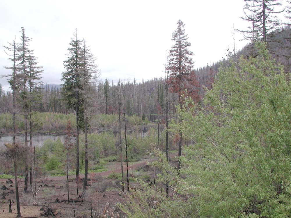
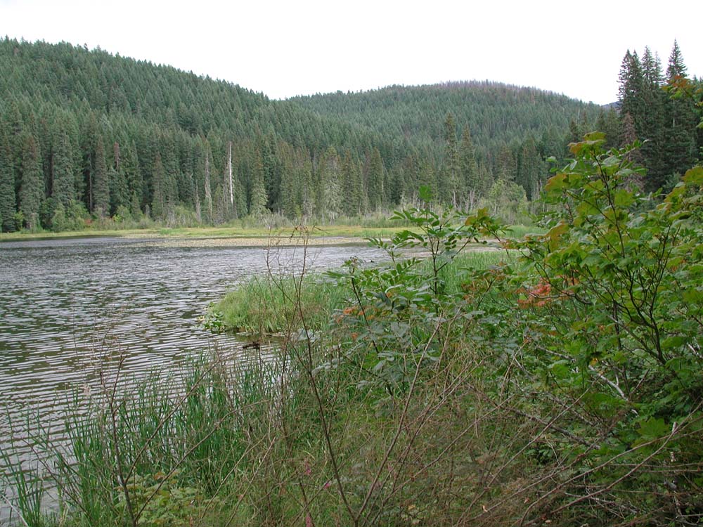
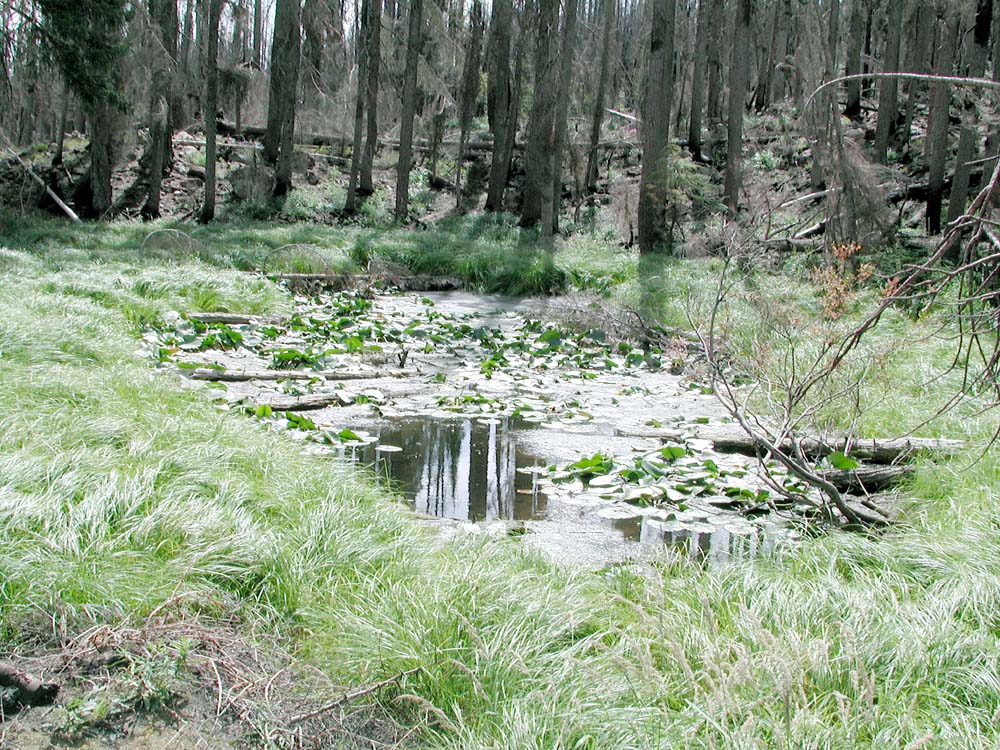
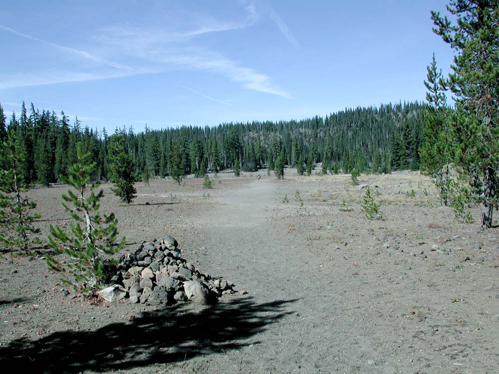
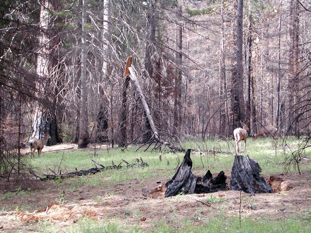
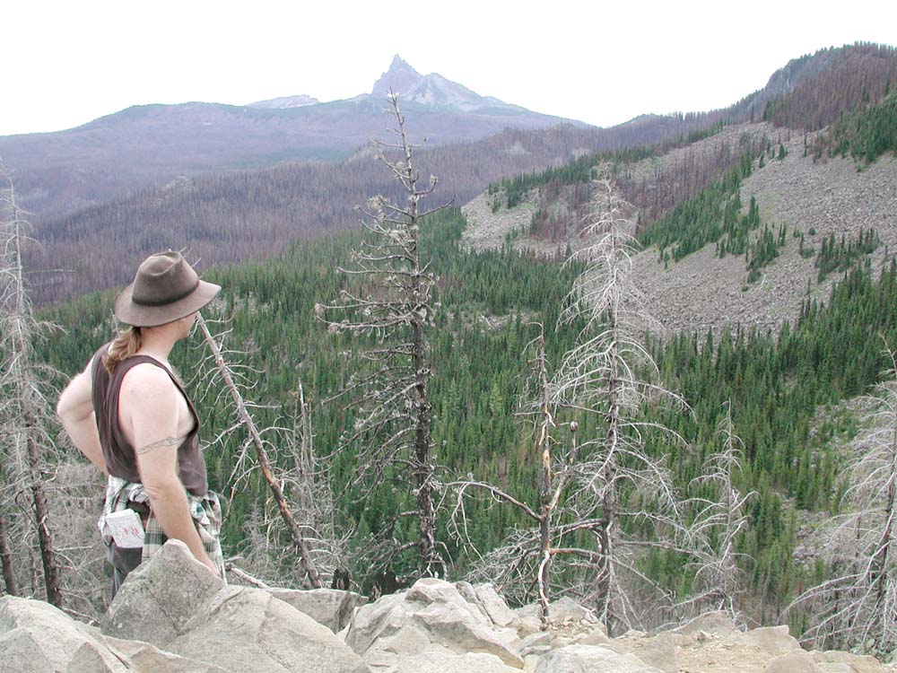
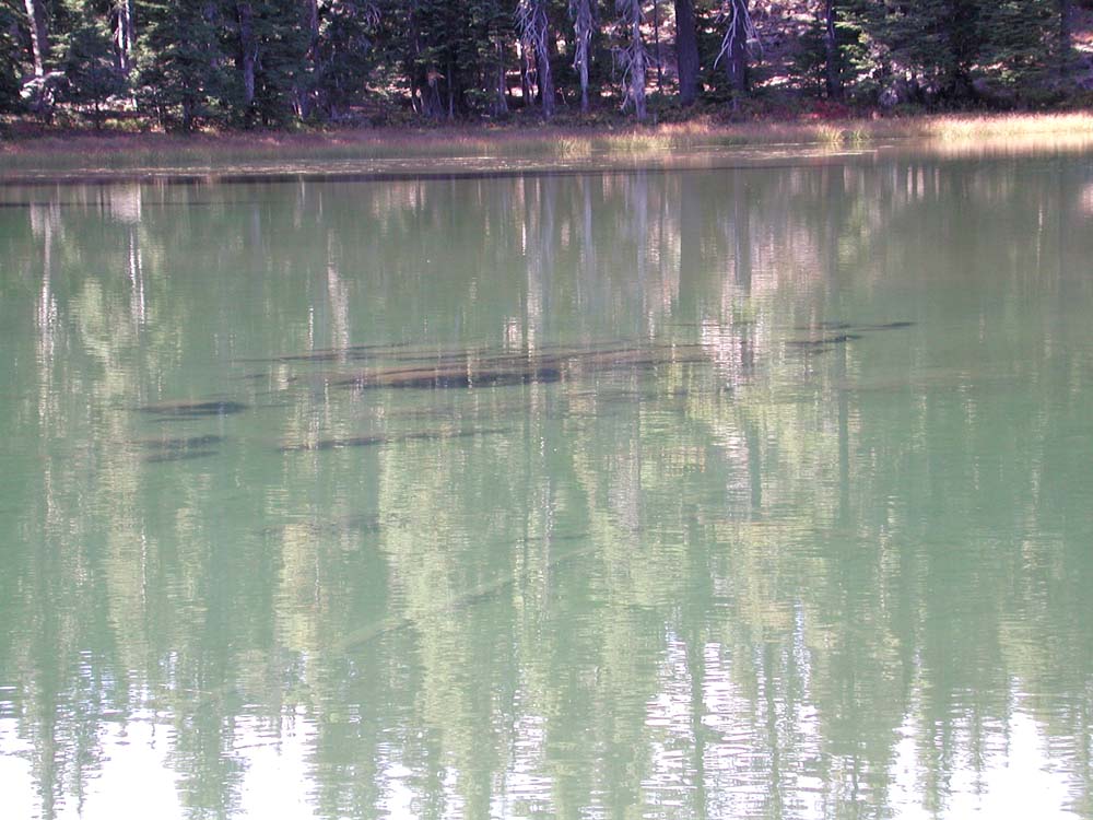
The project involves the establishment of numerous GPS coordinates at specific sites located throughout the study area. Sites are selected based on landscape-scale burn pattern visibility, study area coverage, accessibility, and stand-scale habitat types. Most sites are documented with 360 degree panoramic digital photo sequences and miscellaneous photographs of interest, such as pictures of wildlife, blooming wildflowers, or phenotypical snags.
The purpose for establishing grid points and photographic documentation of the B&B Complex is to create a baseline dataset that can be used for retrospective studies and to help moniter future environmental changes. Retrospective studies include comparisons of post-fire landscapes with historical photographs, maps, survey notes, and other records of past conditions. Post-fire conditions can be closely monitered by an unlimited number of people by repeating the photographic process at select locations on a seasonal or annual basis, or by following a disturbance event or management process by the same methodology over time, and then displaying the results on the Internet.
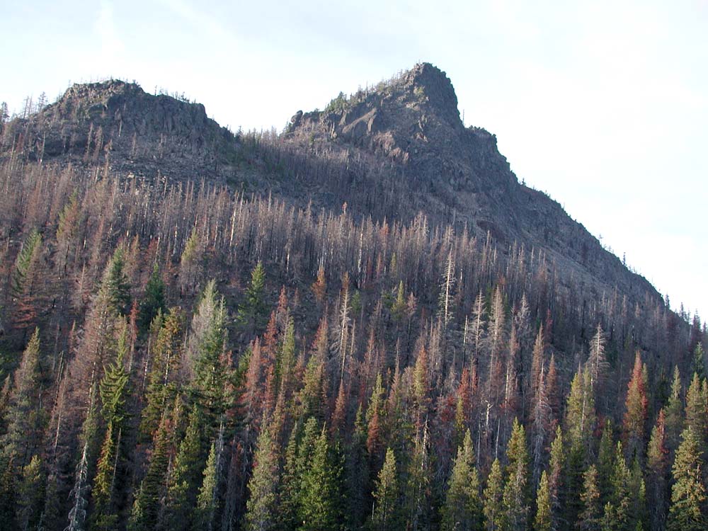
This process can prove useful for considering the role of snags as fuel during the B&B fire event and landscape pattern changes over time, or for monitoring such ecological changes as erosion, plant migrations, subsequent fire events, insect outbreaks, and landscape-scale snag management experiments into the future.
The Repeat Photography Grid Project is a collaboration of several people and organizations. Bob Zybach designed the project and is its Principal Investigator. Nana Lapham assisted with project design and development. Zybach and Lapham are co-authors of this website, which is hosted by Oregon Websites and Watersheds Project, Inc., for the purposes of research, education, and public outreach. Oregon State University Forest Sciences Department supplied academic credit, and per diem and transportation costs, OSU Ethnic Studies Department provided academic credit and web editing software. Pacific Northwest Research Station provided field equipment and consultations. NW Maps Co. provided website and database design for map and image storage and retrieval.
The general objective of this project is to document as much of the burned area and perimeter of the B&B Complex Fire as possible with GPS-referenced 360-degree panoramic digital photos taken the first year after the fire.
Photograph locations were selected on the basis of: 1) landscape pattern visibility (in addition to established lookout sites and viewpoints, numerous new vistas were created by defoliation that resulted from the fire); 2) accessibility (points are preferably reached by automobile or other motorized vehicle, or located along established foot trail routes); 3) location (most of the burned area and perimeter should be documented from two or more vantage points); and 4) content (forest types, unusual soil conditions, lake perimeters, phenotypical snag patches, etc.).
Once a photo point had been selected, a GPS receiver was used to record location and elevation. A digital camera (Nikon Coolpix 990) was then mounted on a tripod at four and one-half feet above the ground surface and a series of over-lapping photographs was taken to produce a 360-degree panorama. Each panoramic series (usually about ten photographs) was initiated with a due-north photo, and then continued clockwise until the beginning point was reached. The camera was typically maintained in a level position during this process, unless slight adjustments were needed to capture the distant horizon. Additional photographs were taken to capture specific details, such as flowering plants, wildlife, or unusual habitat conditions.
Digital images obtained by these methods were processed with PhotoShop to balance contrasts and reduce file sizes for Internet display. Panoramic series of photographs will be stitched together into single files and also made available on the Internet as they are completed.
Panoramic Photograph Grid Point Map
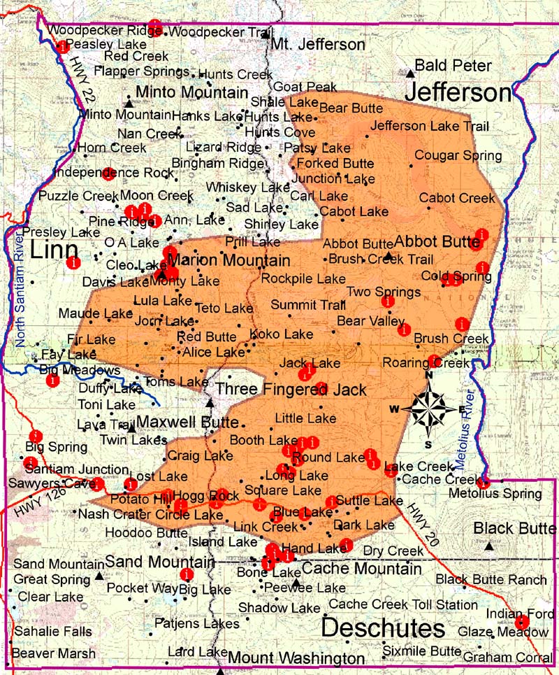
Panoramic Photograph Grid Point Locations
A B C D E F G H I J KL M N O P Q R S T U V W X Y Z
Hyperlink |
Location | Date | Northing | Easting | Elev. |
 |
September 4, 2004 September 4, 2004 September 4, 2004 |
44.55833 44.55880 44.55953 |
121.70798 121.71215 121.71235 |
4,432' 4,300' 4,221' |
|
 |
Abbot Creek | June 8, 2004 | 44.55077 | 121.63794 | 3,418' |
 |
Alice Lake | October 1, 2004 October 1, 2004 |
44.50540 44.50328 |
121.86880 121.87062 |
5,429' 5,502' |
 |
Bald Peter | 6,540' | |||
 |
Bearprint Lake | August 20, 2004 | 44.54922 | 121.87364 | xxx |
 |
Big Lake | September 4, 2004 October 16, 2004 |
44.22665 44.38240 |
121.52178 121.86707 |
4,703' 4,694' |
 |
Big Meadows | June 10, 2004 | 44.49142 | 121.96372 | xxx |
 |
Big Spring | June 8, 2004 June 8, 2004 October 16, 2004 |
44.44653 44.43494 44.44920 |
121.98112 121.93039 121.19855 |
3,908' 3,841' 3,377' |
 |
Bingham Ridge | June 8, 2004 | 44.68045 | 121.88494 | xxx |
 |
Black Butte | September 4, 2004 September 4, 2004 September 4, 2004 |
44.39882 44.39787 44.39830 |
121.64116 121.63388 121.63928 |
5,793' 5,878' 6,373' |
 |
Black Butte Swamp | ||||
 |
Blue Balls | May 15, 2004 May 15, 2004 |
44.54421 44.54424 |
121.66455 121.65790 |
3,119' 3,183' |
 |
Bone Lake | May 13, 2004 May 13, 2004 May 13, 2004 |
44.38951 44.39070 44.39257 |
121.80306 121.80220 121.80159 |
4,548' 4,421' 4,493' |
 |
Cache Lake | June 8, 2004 October 16, 2004 |
44.40135 44.39503 |
121.74230 121.78213 |
xxx 4,174' |
 |
Cache Mountain | June 8, 2004 |
44.40071 | 121.74235 | 4,217' |
 |
Camp Sherman | August 14, 2004 August 18, 2004 |
|||
| Candle Creek | June 8, 2004 | 44.56368 | 121.64224 | 2, 979' | |
| Canyon Creek | |||||
 |
Cinder Cone | June 8, 2004 June 8, 2004 June 8, 2004 |
44.52003 44.52034 44.52021 |
121.65292 121.65391 121.65394 |
3,176' 3,432' xxx |
 |
Clear Lake |
September 18, 2004 September 18, 2004 |
44.22495 44.22377 |
121.59902 121.59551 |
|
| Dark Lake | |||||
| Downing Creek | |||||
 |
Duffy Butte | ||||
 |
Duffy Lake | September 30, 2004 September 30, 2004 |
44.49159 44.49120 |
121.90016 121.89722 |
4797 4728 |
 |
Duffy Prairie | October 1, 2004 | |||
 |
Duffy Trail | October 1, 2004 | 44.48664 | 121.88710 | 4,932' |
 |
First Creek | May 15, 2004 May 15, 2005 May 15, 2004 |
44.44036 | 121.78490 | 4,349' |
|
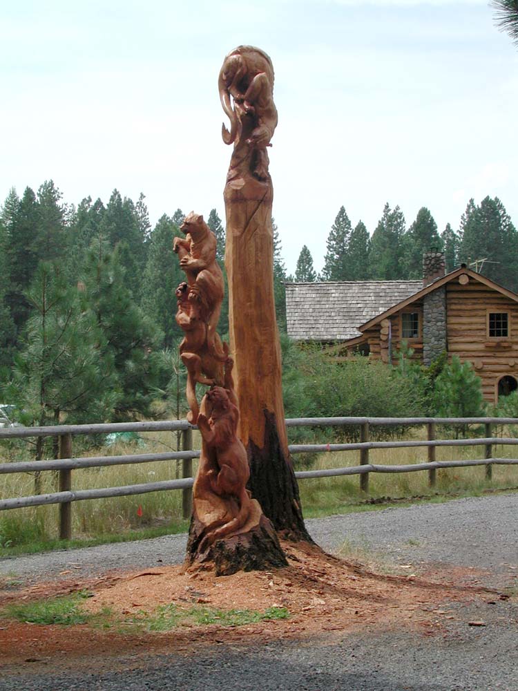
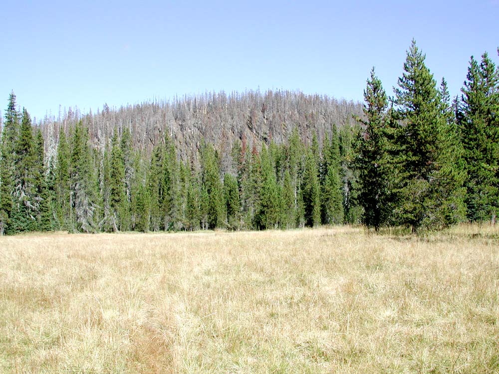
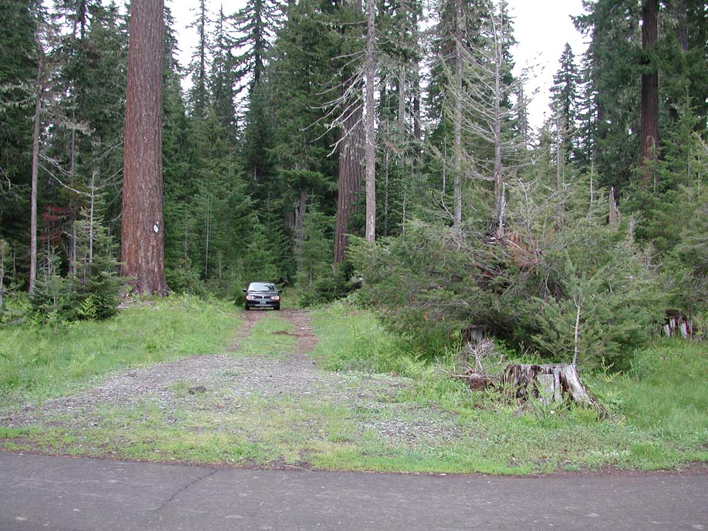
Fisheye Hill | May 13, 2004 | |||
| Flapper Springs | |||||
 |
Hand Lake | May 13, 2004 | 44.39510 | 121.79507 | 4,363' |
 |
Hayrick Butte | ||||
 |
Highway 20 | September 20, 2003 May 13, 2004 |
|||
| Hogg Railroad Grade | June 8, 2004 | ||||
 |
Hogg Rock | May 15, 2004 | 44.42844 | 121.87687 | 4,377' |
 |
Hoodoo Butte | June 9, 2004 | 44.38566 | 121.86353 | 5,721' |
 |
Independence Prairie | June 10, 2004 | |||
 |
Indian Ford |
|
|||
| Jack Lake | |||||
 |
Jack Lake Road | May 14, 2004 May 14, 2004 May 14, 2004 |
44.29751 | 121.55919 | |
 |
Jefferson Creek | ||||
| Klamath Indian Trail | |||||
 |
Lake Ann | August 20, 2004 | 44.5476 | 121.88126 | |
 |
Lee's Lake | August 21, 2004 | 44.5532 | 121.87709 | |
 |
Link Creek | May 13, 2004 | |||
 |
Link Lake | May 13, 2004 | |||
 |
Little Cache Mountain | ||||
| Little Nash Crater | |||||
 |
Lost Lake | May 15, 2004 | 44.43468 | 121.90561 | 3,975' |
 |
Marion Creek | ||||
| Marion Forks | June 10, 2004 June 10, 2004 |
||||
 |
Marion Lake | August 20, 2004 August 21, 2004 August 21, 2004 |
|||
 |
Marion Mountain | August 21, 2004 | |||
 |
Marion Peak | August 21, 2004 | |||
| Maxwell Butte | |||||
 |
Maxwell Butte Trail | ||||
 |
Meadow Lake | May 13, 2004 | 45.30445 | 116.99729 | |
 |
Metolius Springs | ||||
 |
Minto Pass Trail | ||||
| Molalla Indian Trail | |||||
 |
Moon Creek | 44.58204 | 121.90367 | ||
 |
Mount Jefferson | 10,495' | |||
 |
Mount Washington | 7,802' | |||
 |
Mowich Lake | October 1, 2004 | |||
 |
Mushroom Hill | May 13, 2004 | 39.28113 | ||
| Nan Creek | |||||
 |
Nash Crater | September 18, 2004 | 44.25606 44.25564 |
121.57589 121.56831 |
|
 |
North Dixie Lake | ||||
| North Santiam River | |||||
 |
Pacific Crest Trail | May 14, 2004 | 44.42863 | 121.83643 | 4,969' |
| Peasley Lake | |||||
 |
Potato Hill | May 13, 2004 | 44.25553 | 121.55254 | 4495 |
 |
Private Section | May 15, 2004 June 8, 2004 |
|||
 |
Puzzle Creek | August 20, 2004 August 20, 2004 |
|||
 |
Red Butte | ||||
| Roaring Spring | |||||
 |
Round Lake | May 15, 2004 May 15, 2004 May 15, 2004 |
44.44210 | 121.79014 | 4,325' |
 |
Sahalie Falls | September 18, 2004 | 44.22503 | 121.59905 | |
 |
Santiam Lake | September 30, 2004 | |||
 |
Santiam Lodge Trail | September 30, 2004 | |||
 |
Santiam Pass Trail | September 17, 2004 | |||
 |
Santiam Wagon Road | September 18, 2004 | 44.23999 | 121.57079 | |
 |
Sheep Springs | May 15, 2004 | 44.51770 | 121.69750 | 3,053' |
 |
South Dixie Lake | ||||
 |
Square Lake | ||||
 |
Suttle Lake | June 9, 2004 | |||
 |
Three Fingered Jack | 7,848' | |||
 |
Twin Meadows | June 10, 2004 | |||
 |
Unnamed Lake | September 30, 2004 | 44.47292 | 121.88948 | 5,292' |
| Woodpecker Creek | June 8, 2004 | 44.67197 | 121.95498 | 2,596' | |
 |
Woodpecker Ridge | June 8, 2004 June 8, 2004 June 8, 2004 |
44.67692 44.68279 44.68045 |
121.94228 121.88565 121.88494 |
2,711' 3,171' xxx |
![]()
©2004 Oregon Websites and Watersheds Project, Inc. and NW Maps Co.