Mount Jefferson
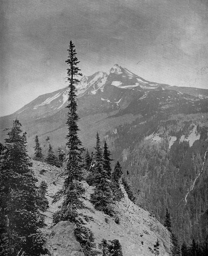
View of Mount Jefferson burns in 1894 (Jones 1894).
Mount Jefferson is the second highest peak in Oregon, with an elevation of 10,495 feet. The peak is along the northern boundary of the study area and--on a clear day--has a commanding view of the B&B Complex to the south.
Mount Jefferson has been photographed many times from many perspectives during the past 150 years. Many of those photgraphs reveal significant details regarding the forest and fire history of Mount Jefferson's slopes, including lands within B&B Complex study boundaries. These photographs can can be made very useful for Repeat Photography analysis and mapping purposes by the process of digitization. Digitized files have the added advantage of being able to be shared or reproduced at little cost via the Internet.
This webpage will be used to display a variety of digital photographs and maps that trace the forest and fire history of Mount Jefferson. At least one 270-degree panoramic photo sequence is planned to be taken near the mountain's summit for this page within the next few years.
| Hyperlinks | Filename | Date | North | West | Elevation |
| Historical_Photos | |||||
| Panoramic_270 | 2005? | 10, 495' |