Upper South Umpqua Headwaters Precontact Reference Study
Tsp. 29 S., Rng. 3 E.
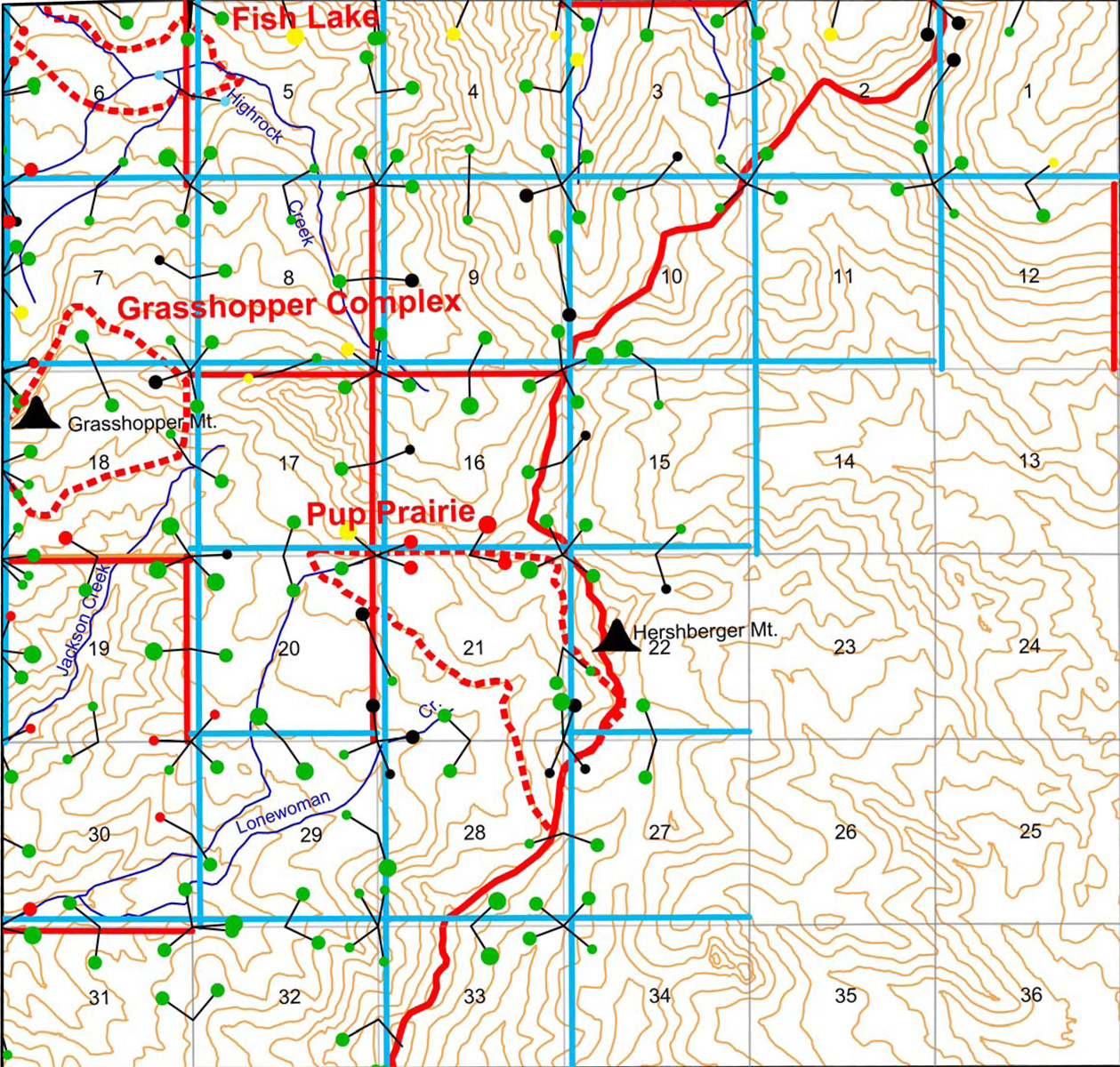
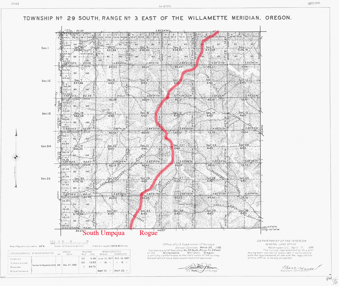
The Tsp. 29 S., Rng. 3 E. survey was completed in 1927 and mapped in 1928 (Raymond 1927). The typed survey notes are here Original Land Survey Notes.
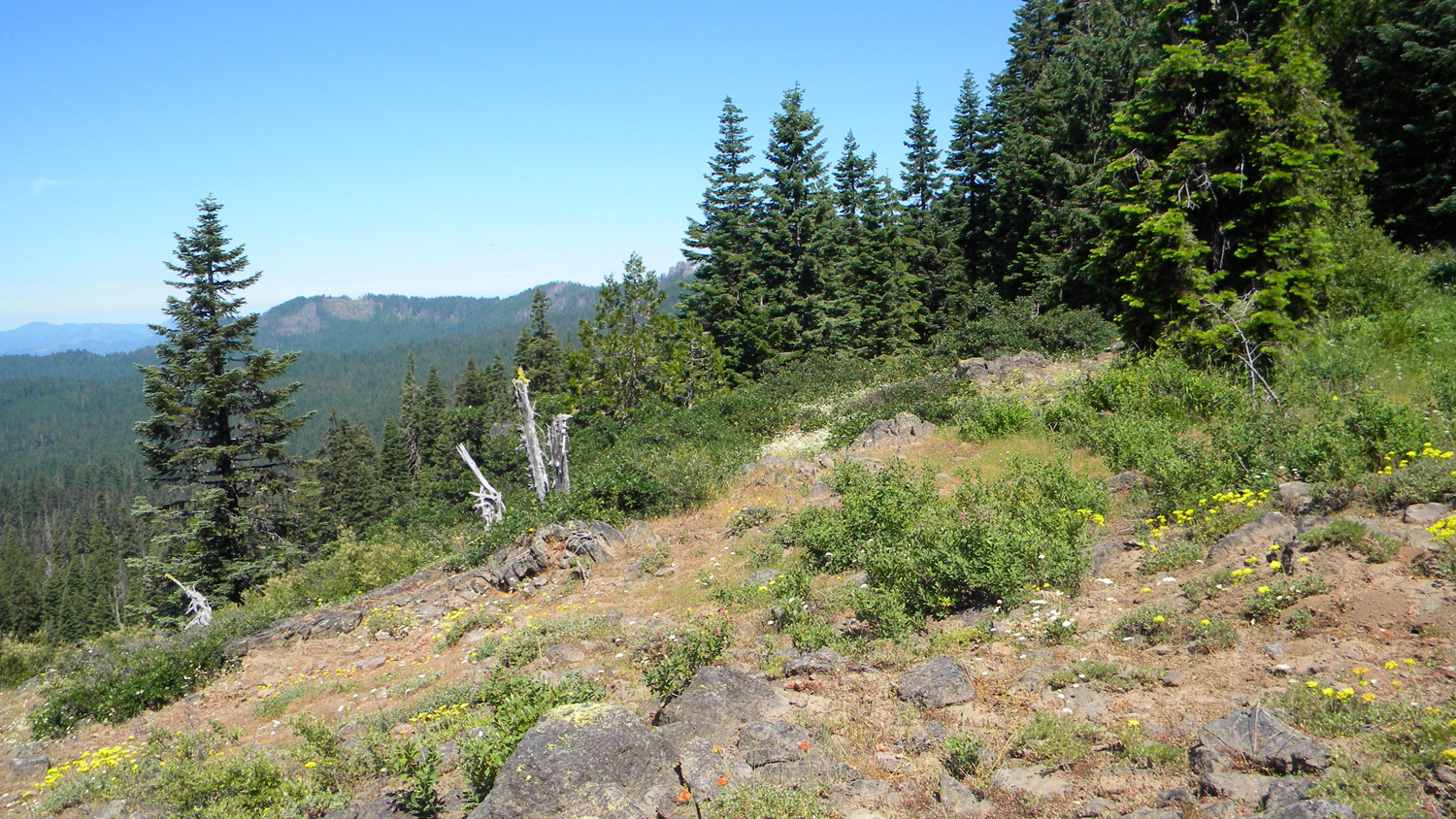
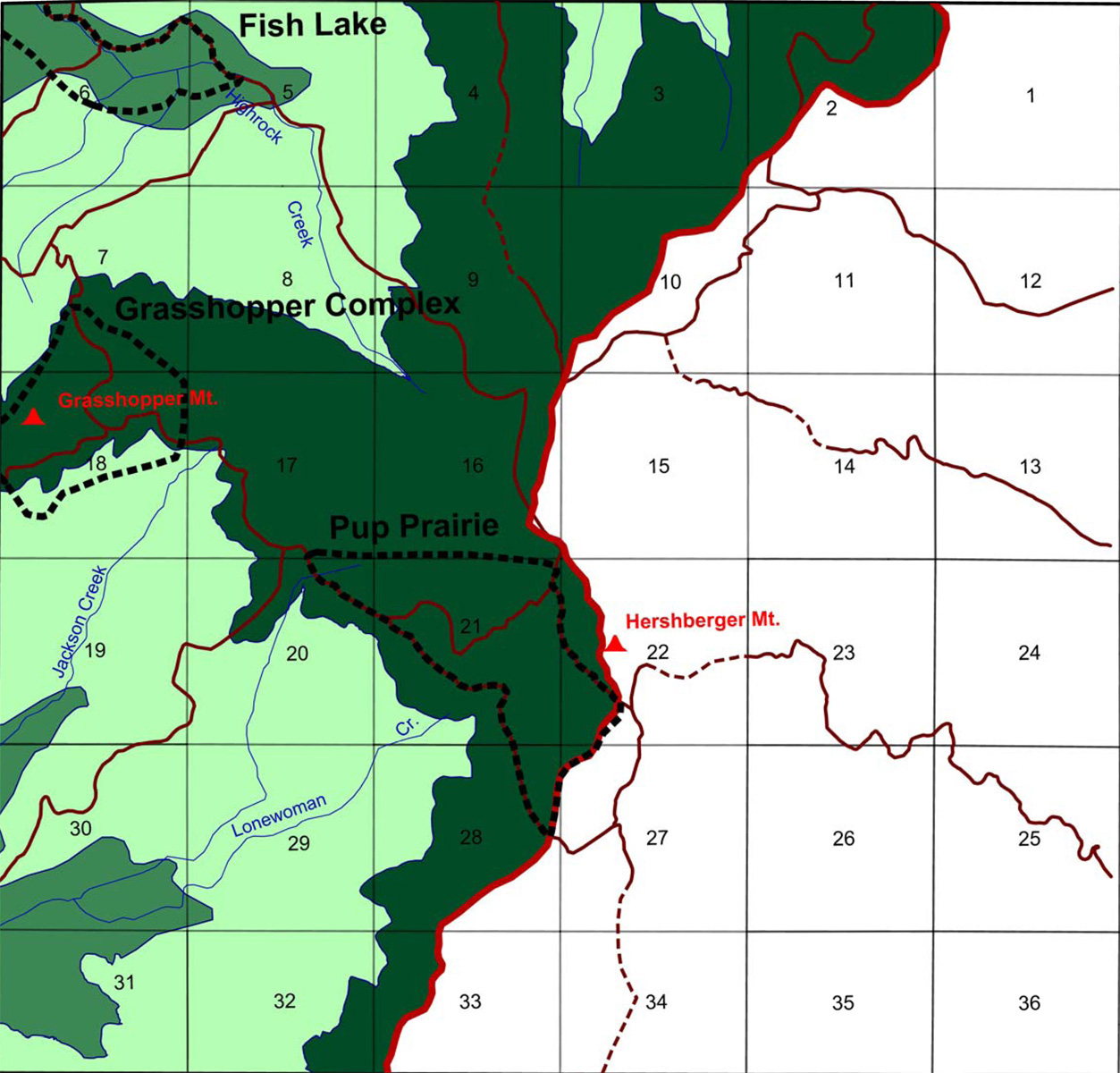
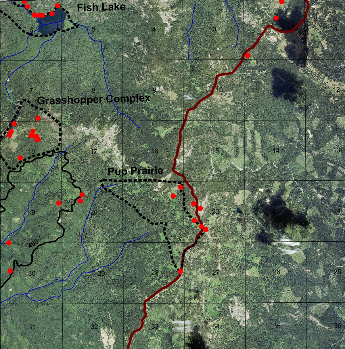
This township includes a portion of the 2010 South Umpqua Headwaters Precontact Reference Conditions Study and contains two Fire Lookouts: Grasshopper Mountain, and Hershberger Mountain; and three Areas of Special Interest: Fish Lake, Grasshopper Complex, and Pup Prairie.
This page includes specific maps and aerial photographs of Tsp. 29 S., Rng. 3 E., panoramas and QTVR video files constructed from the 2010 field research studies, and individual historical and 2010 documentary photographs showing current condtions, native plants and animals, and other points of interest related to this study area.
Panoramas and QTVRs
 |
 |
 |
 |
 |
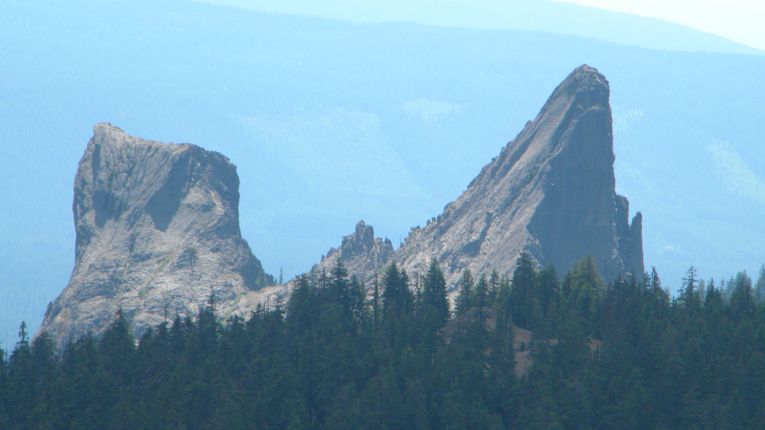
5586_Lone_Woman_Rock
|
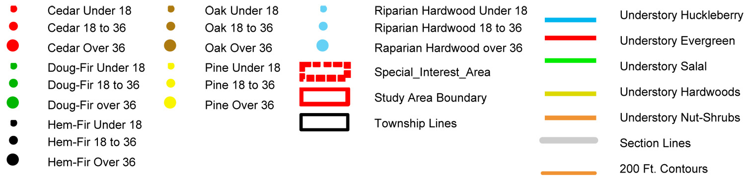
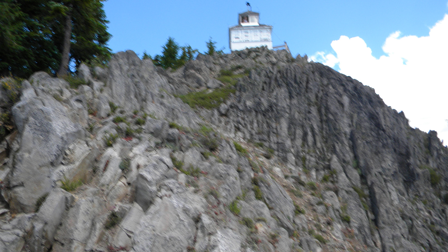
5587_Hershberger_Mountain
|
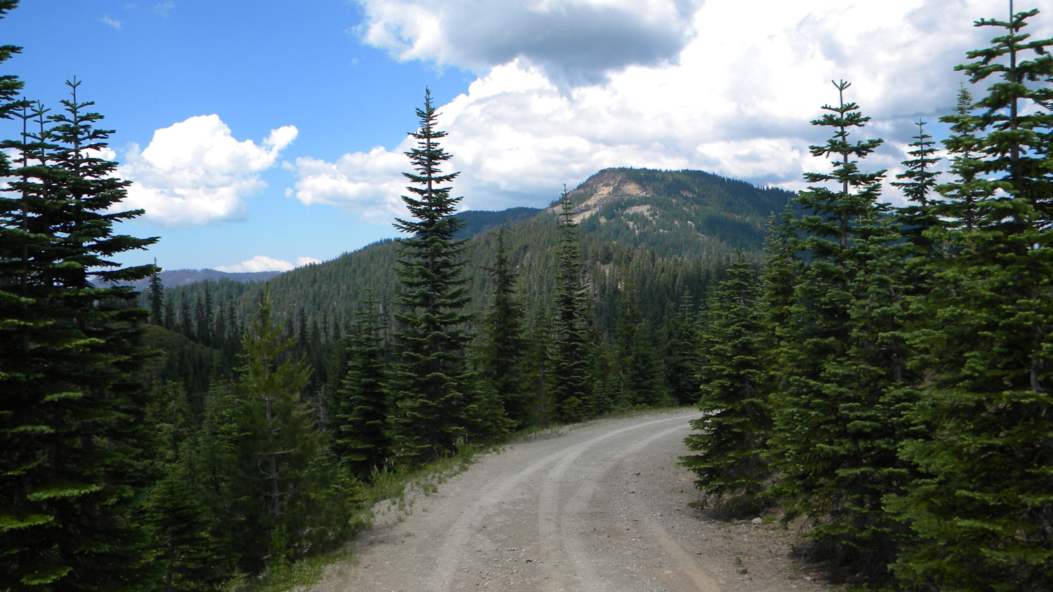
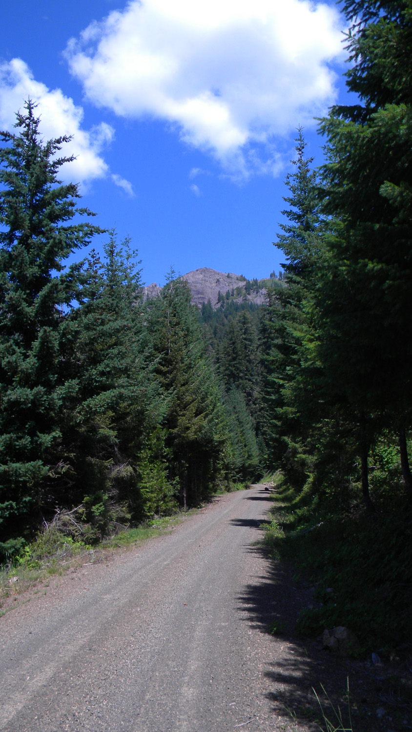
5588_6515_Road_View
|
5589_6515_Road_View
|
5590_Hershberger_Lookout
|
 |
 |
 |
 |
 |
5591_Hershberger_View
|
5628_Castle_Rock_Fork_Meadow
|
5629_Meadow_Spring
|
5630_Meadow_Spring
|
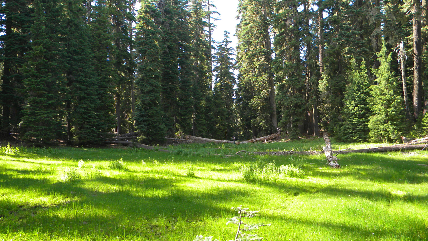
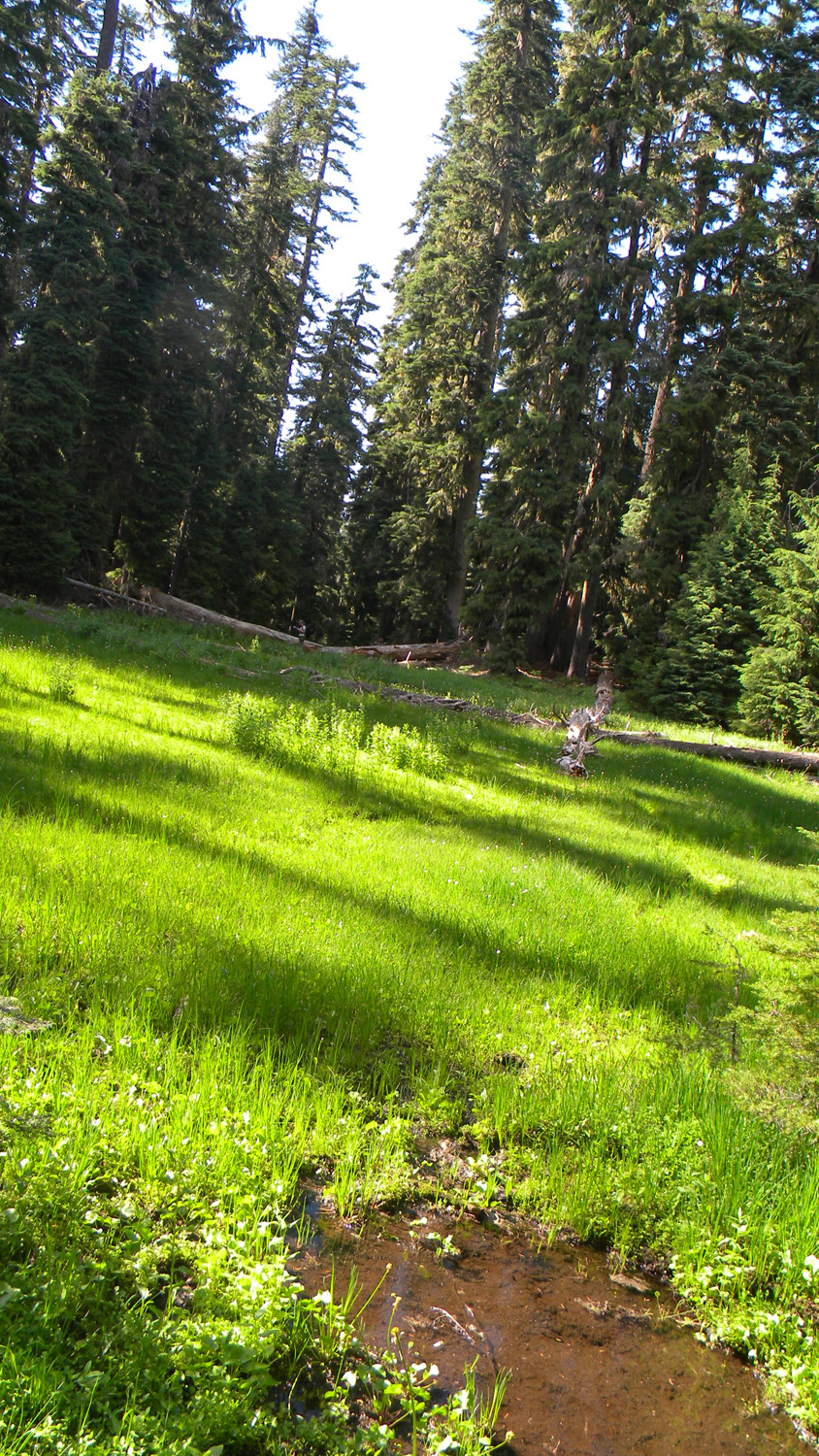
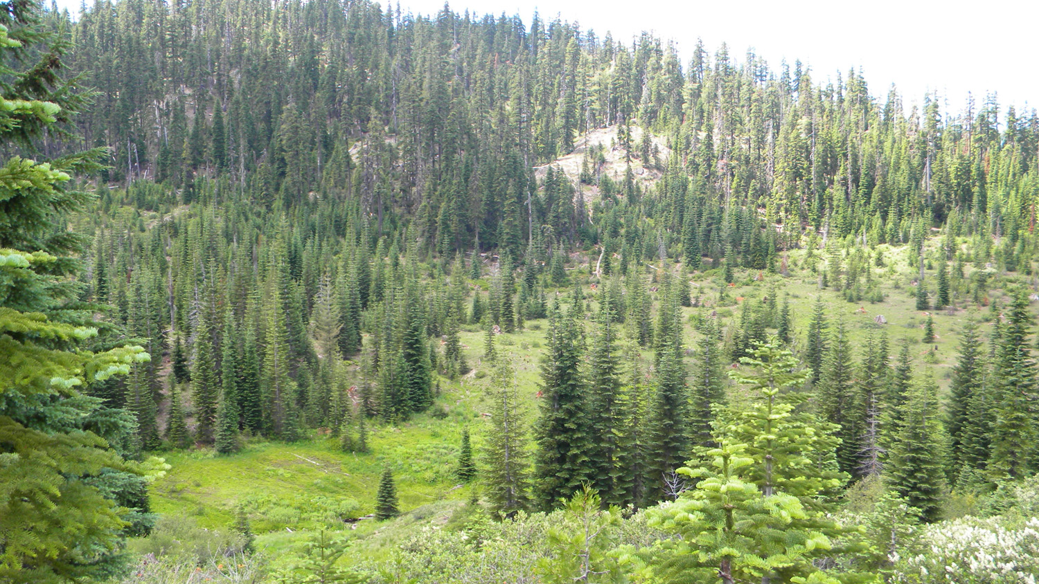
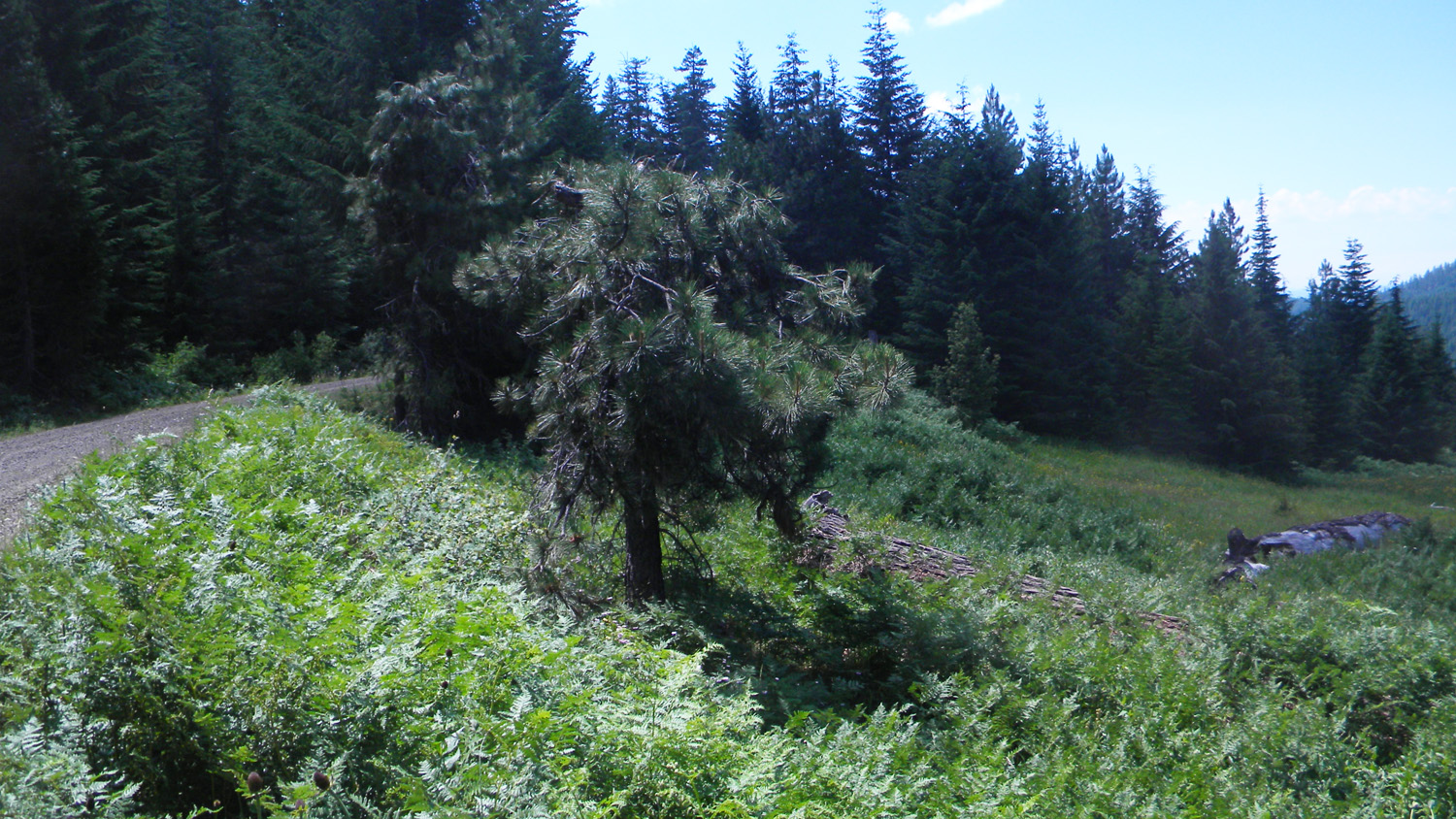
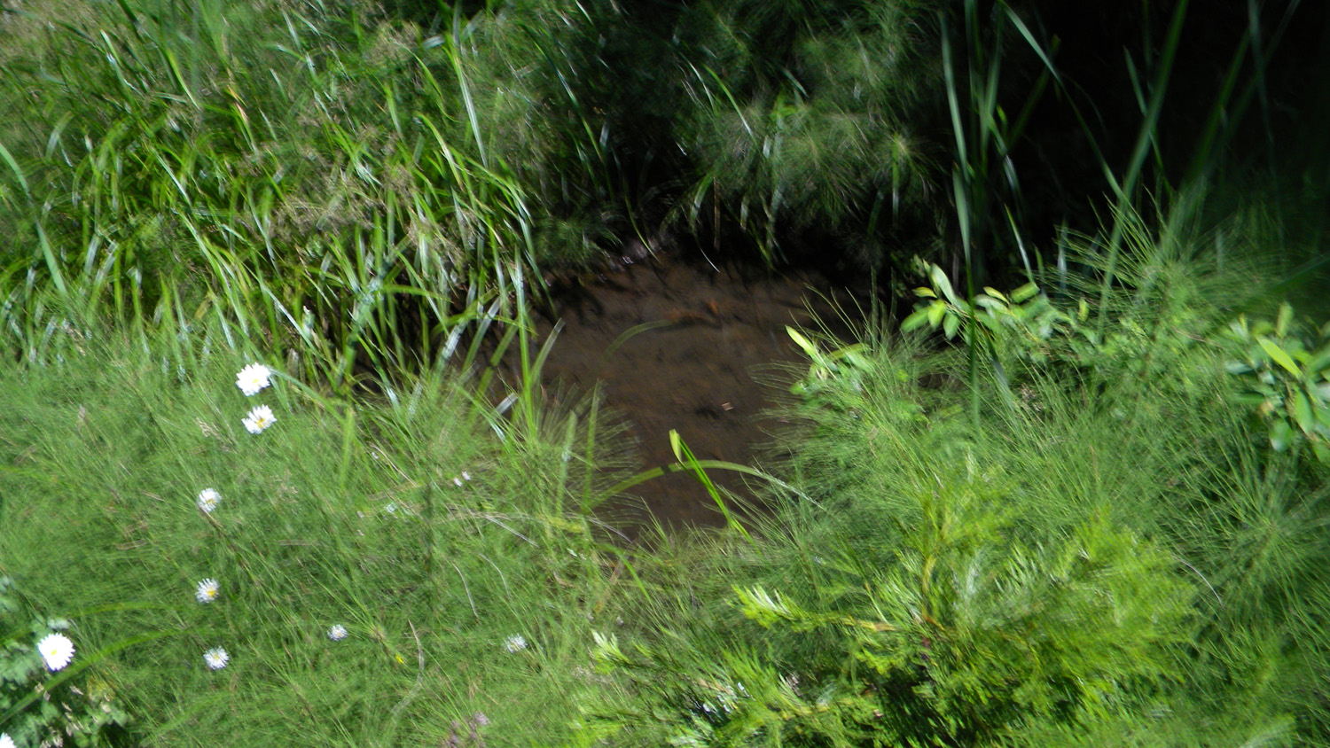
5747_Shrinking_Meadow
|
 |
 |
 |
 |
 |
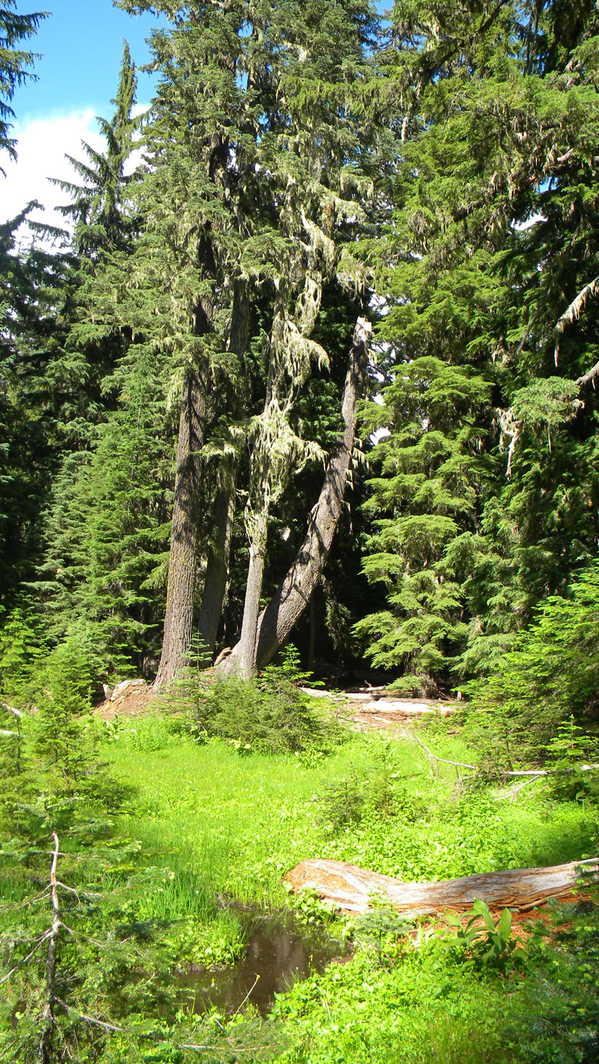
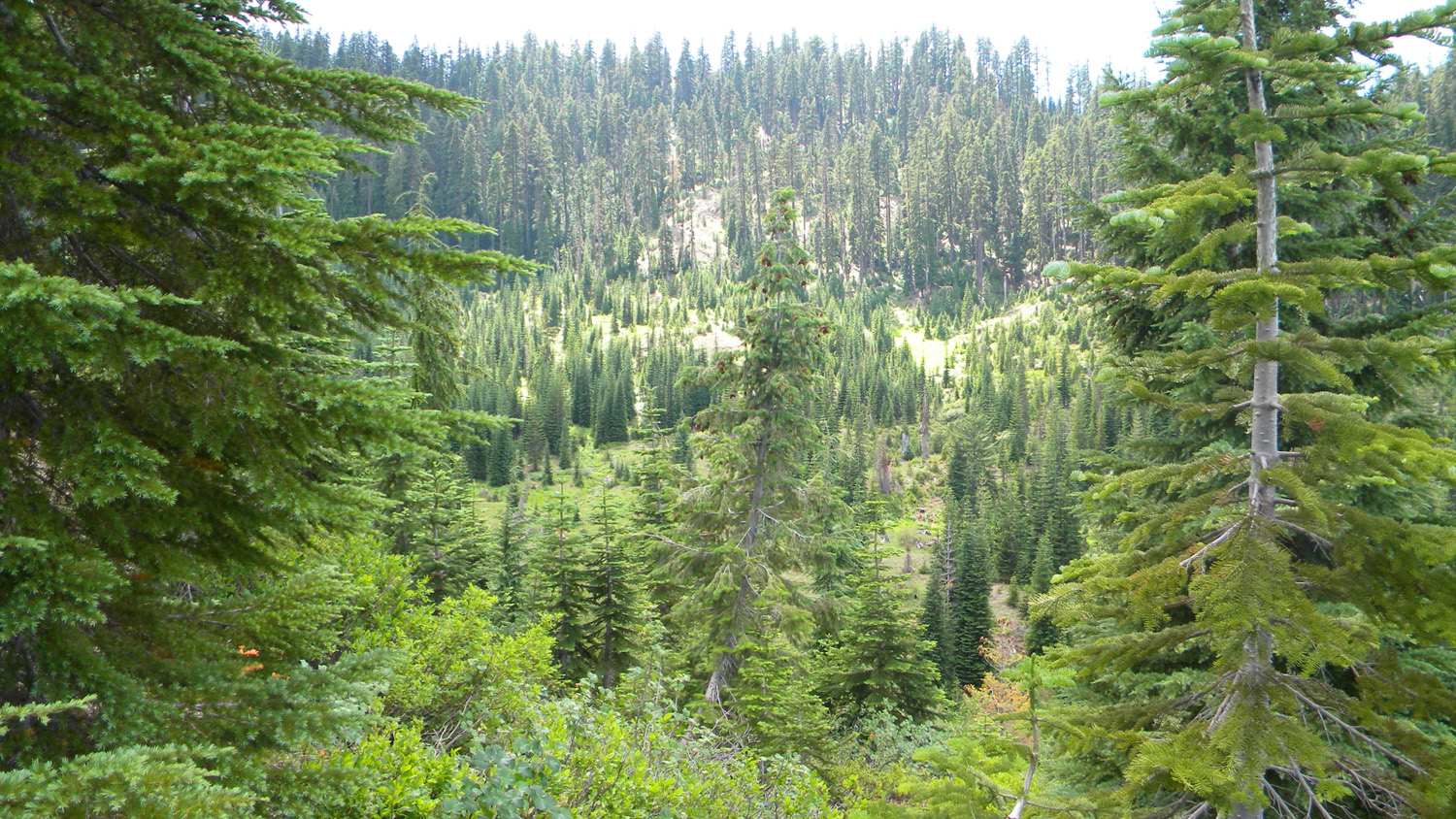
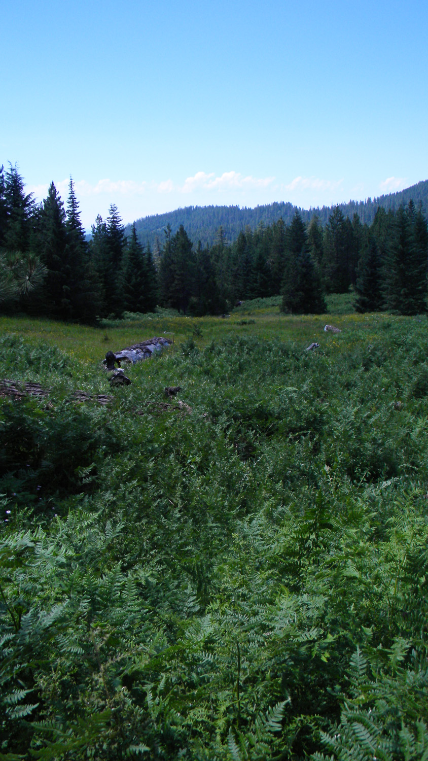
5748_Shrinking_Meadow
|
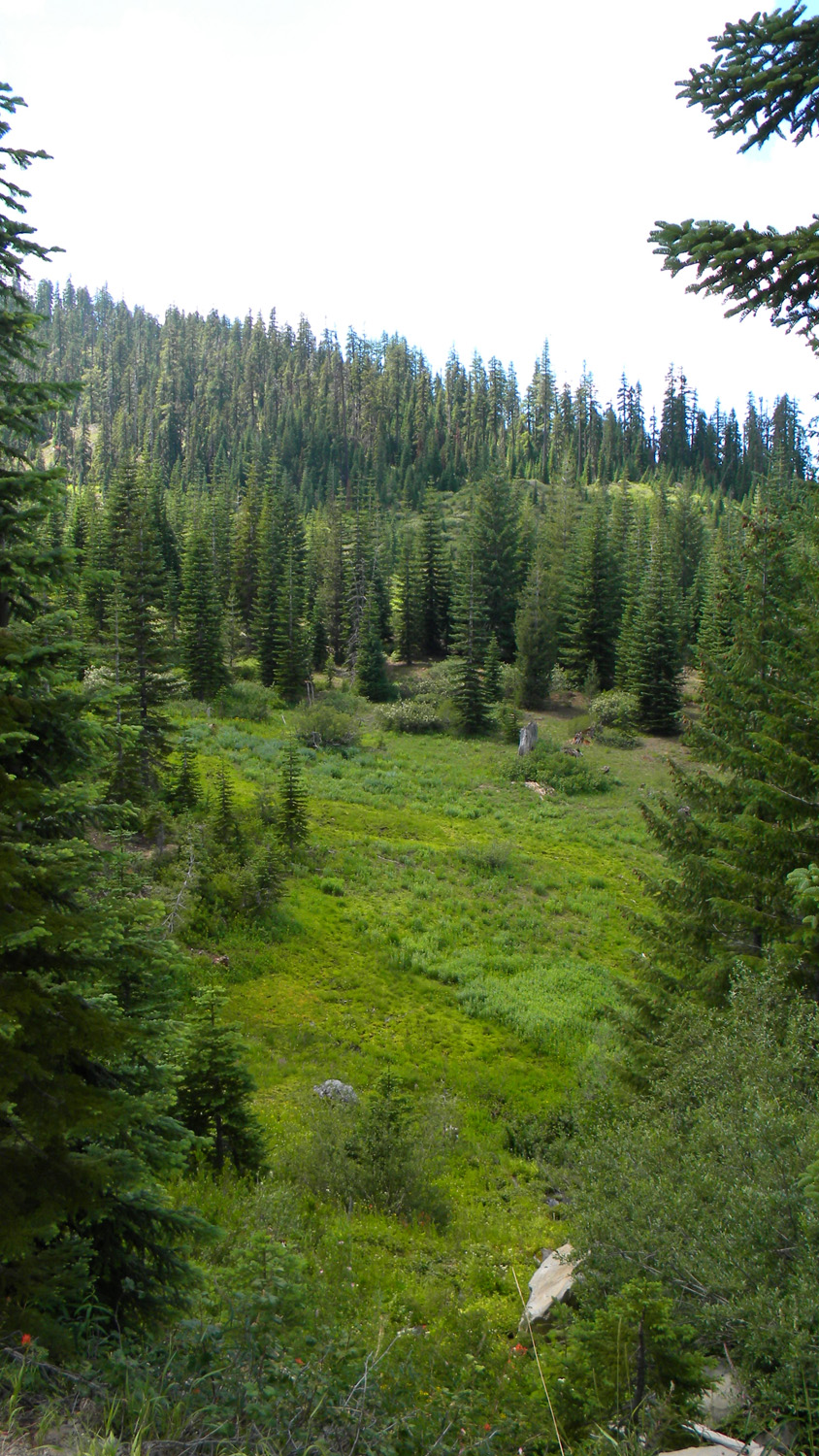
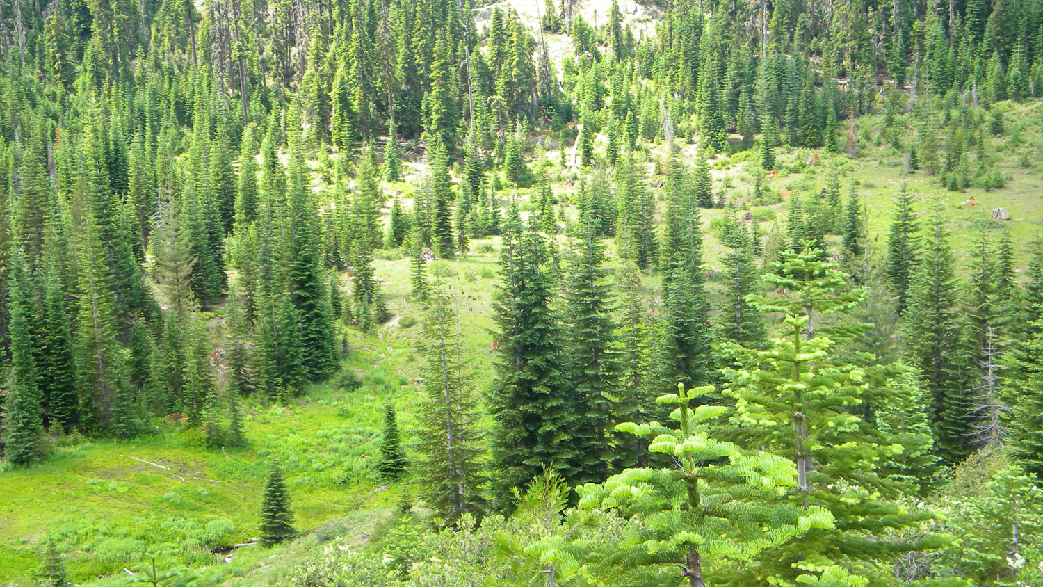
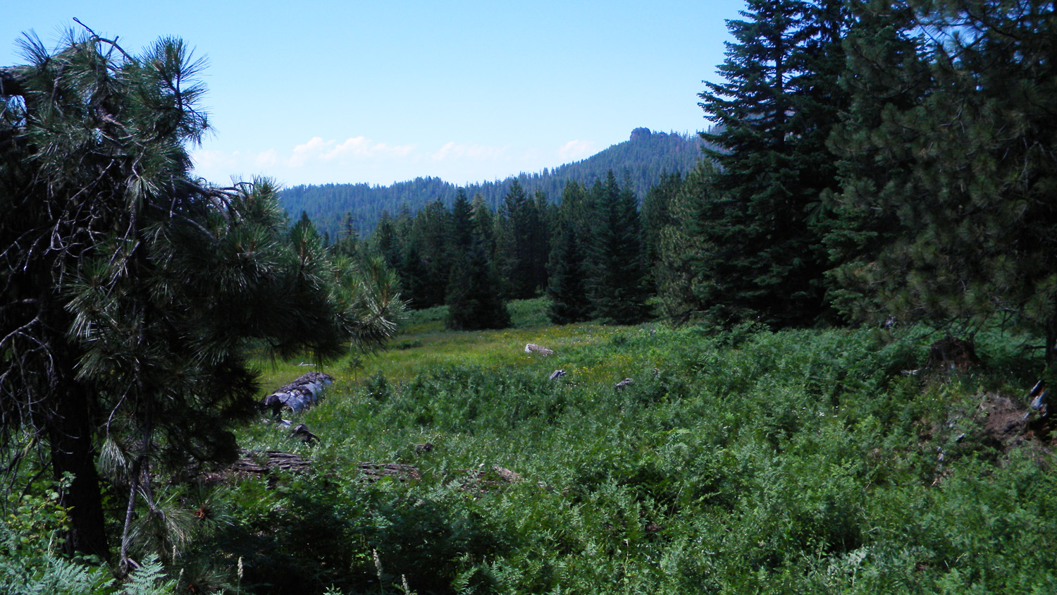
5749_Shrinking_Meadow
|
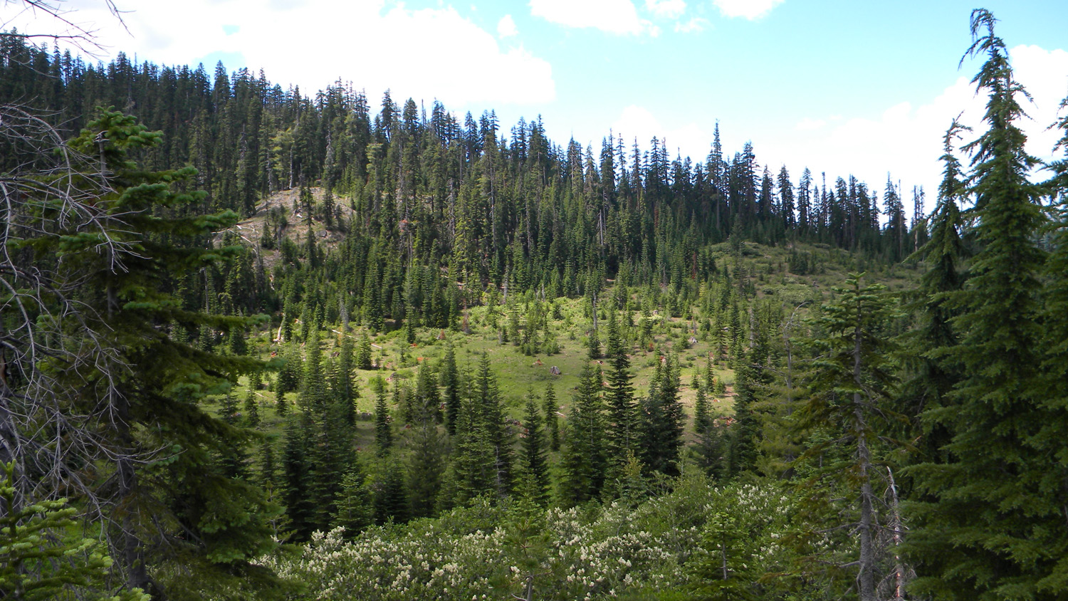
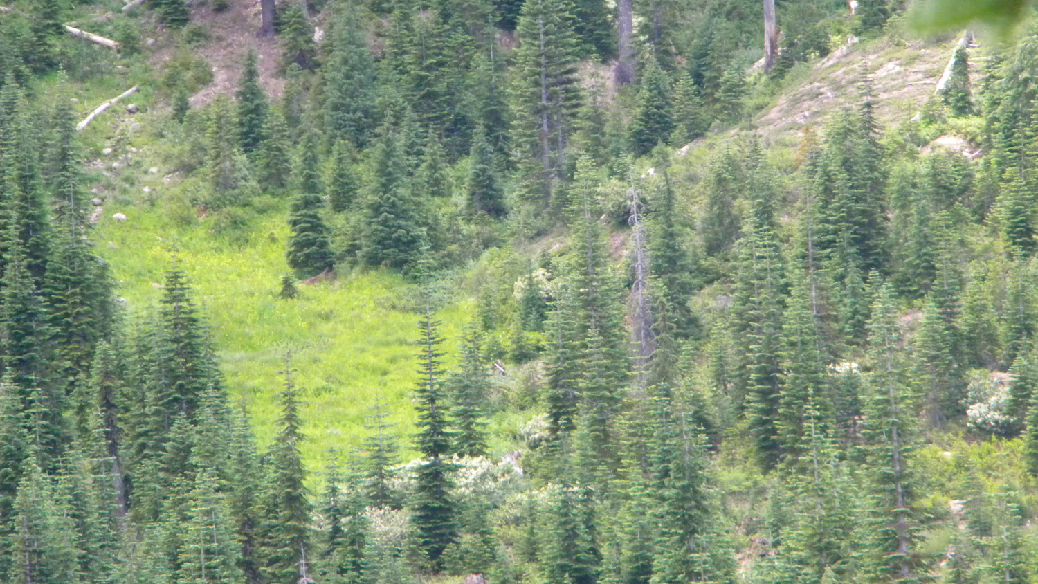
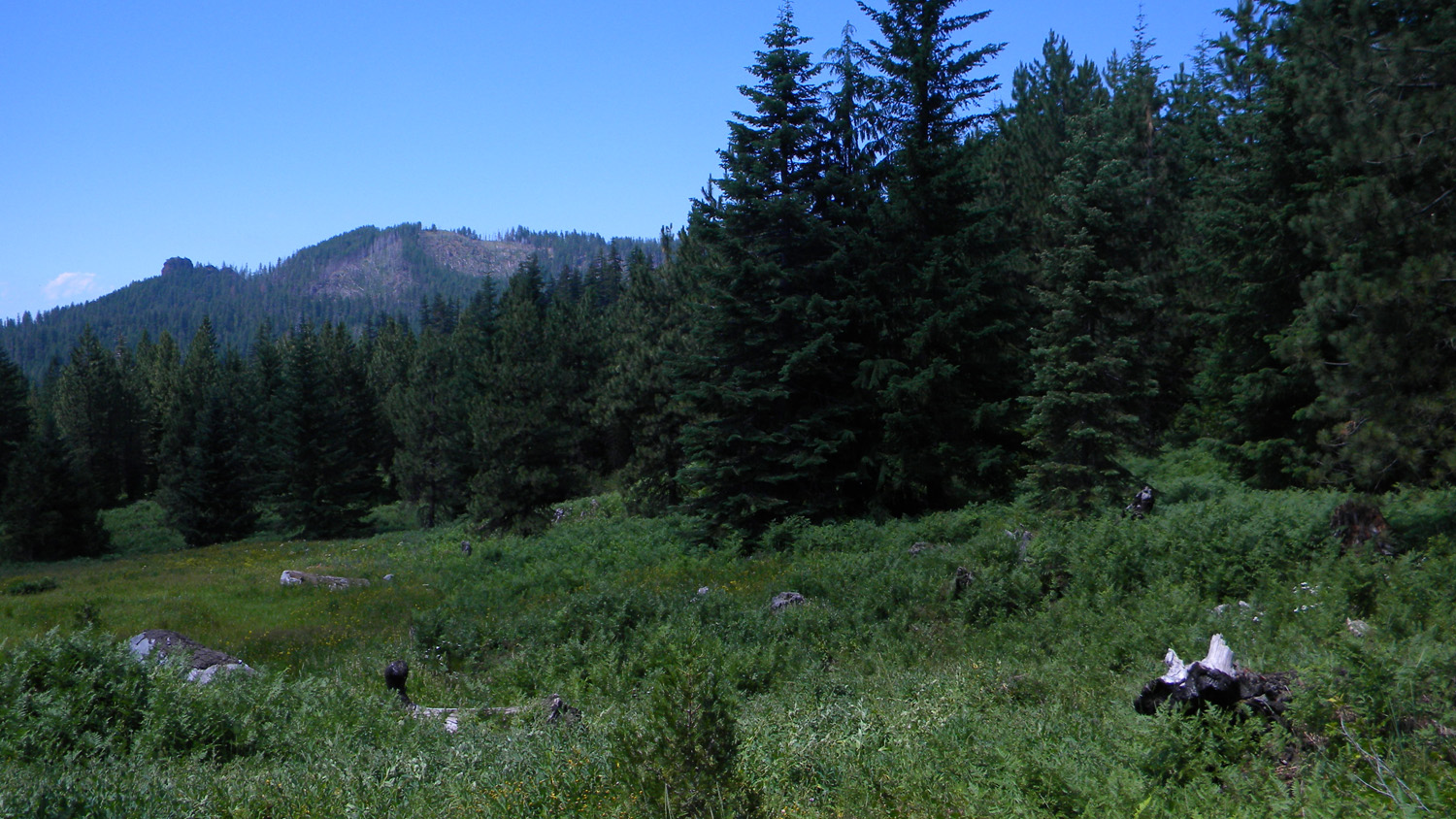
5750_Shrinking_Meadow
|
5751_Shrinking_Meadow
|
5752_Shrinking_Meadow
|
 |
 |
 |
 |
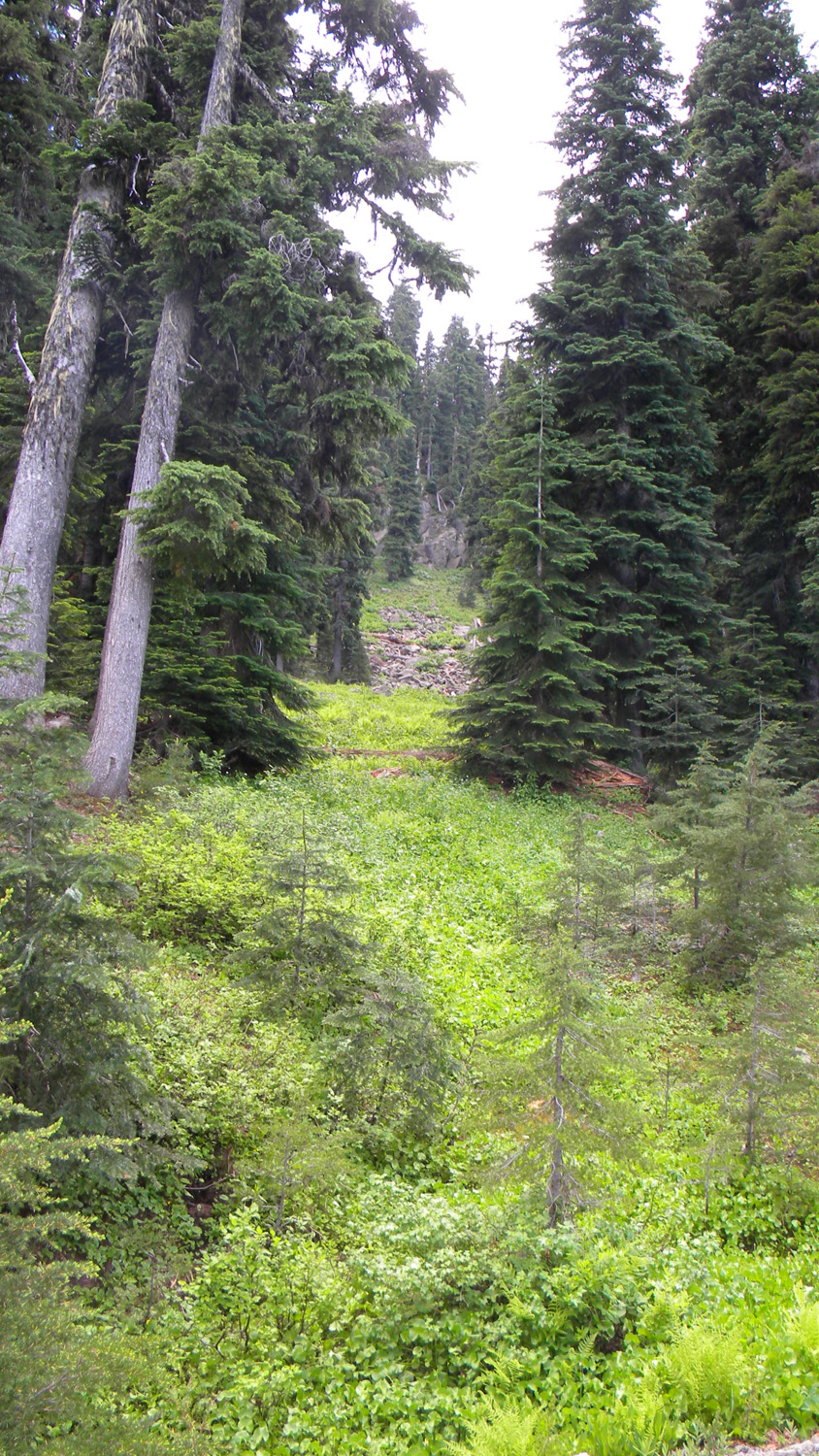 |
5753_Shrinking_Meadow
|
5754_Meadow
|
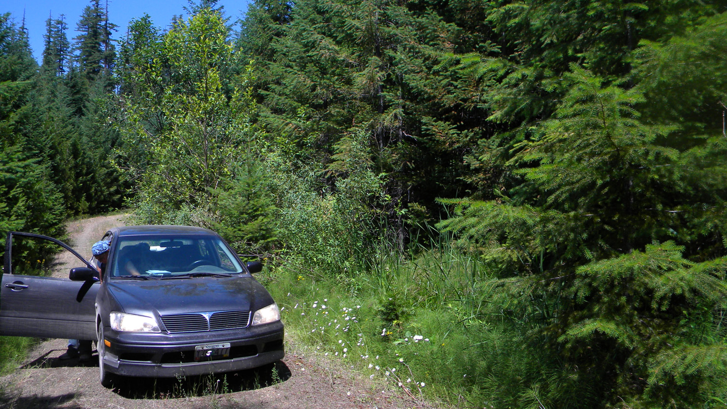
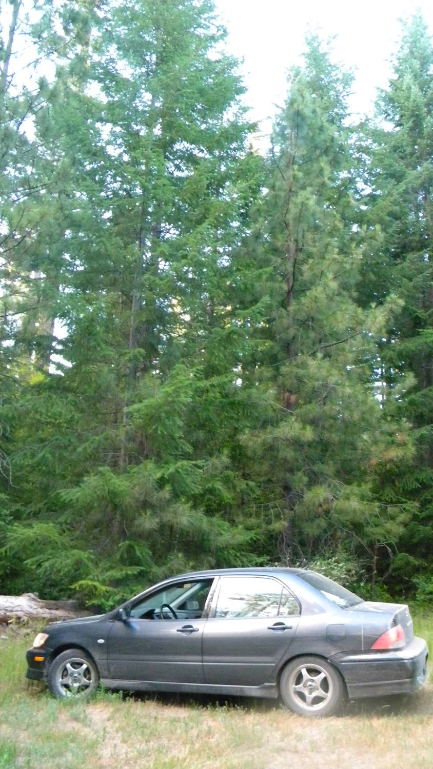
5755_870_Road
|
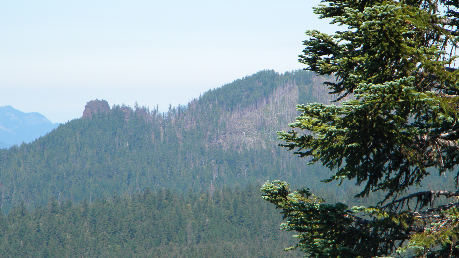
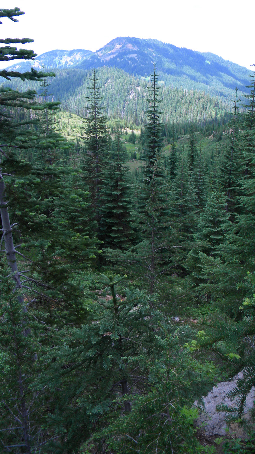
5756_Rattlesnake_Mountain
|
5757_Trees
|
 |
 |
 |
 |
 |
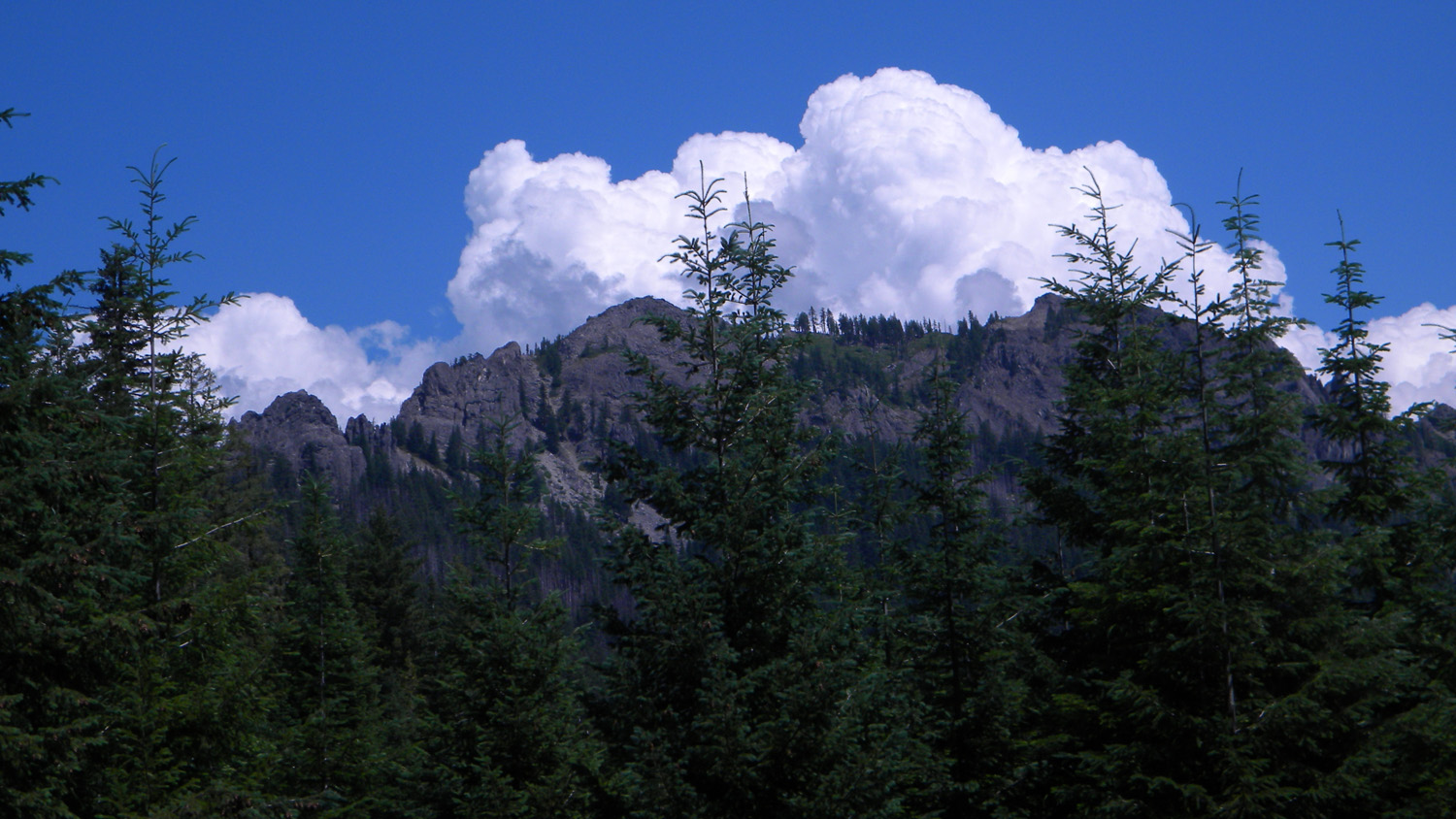
5759_Rattlesnake_Mountain |
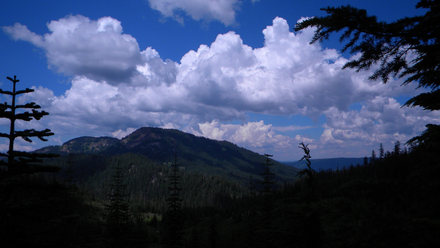
5760_Clouds |
5761_Rattlesnake_Mountain |
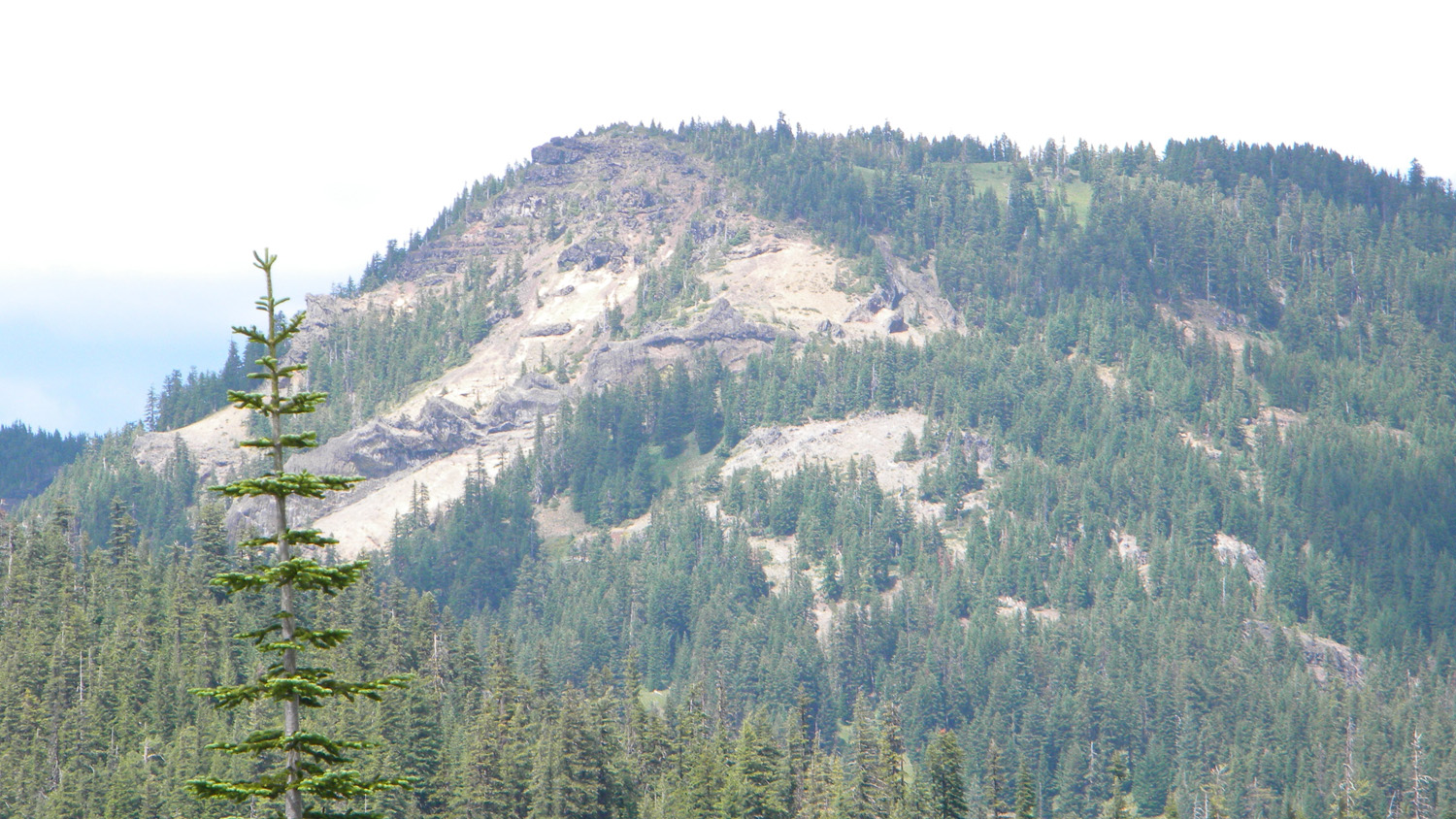
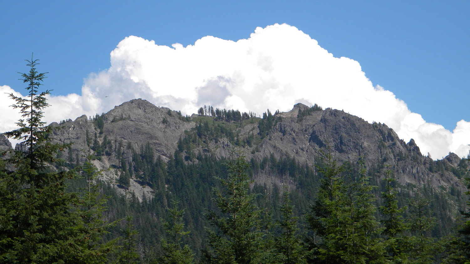
6225_Grasshopper_Mountain |
6226_Grasshopper_Mountain |
 |
 |
 |
 |
 |
6229_Grasshopper_Mountain |
6230_Highrock_Mountain |
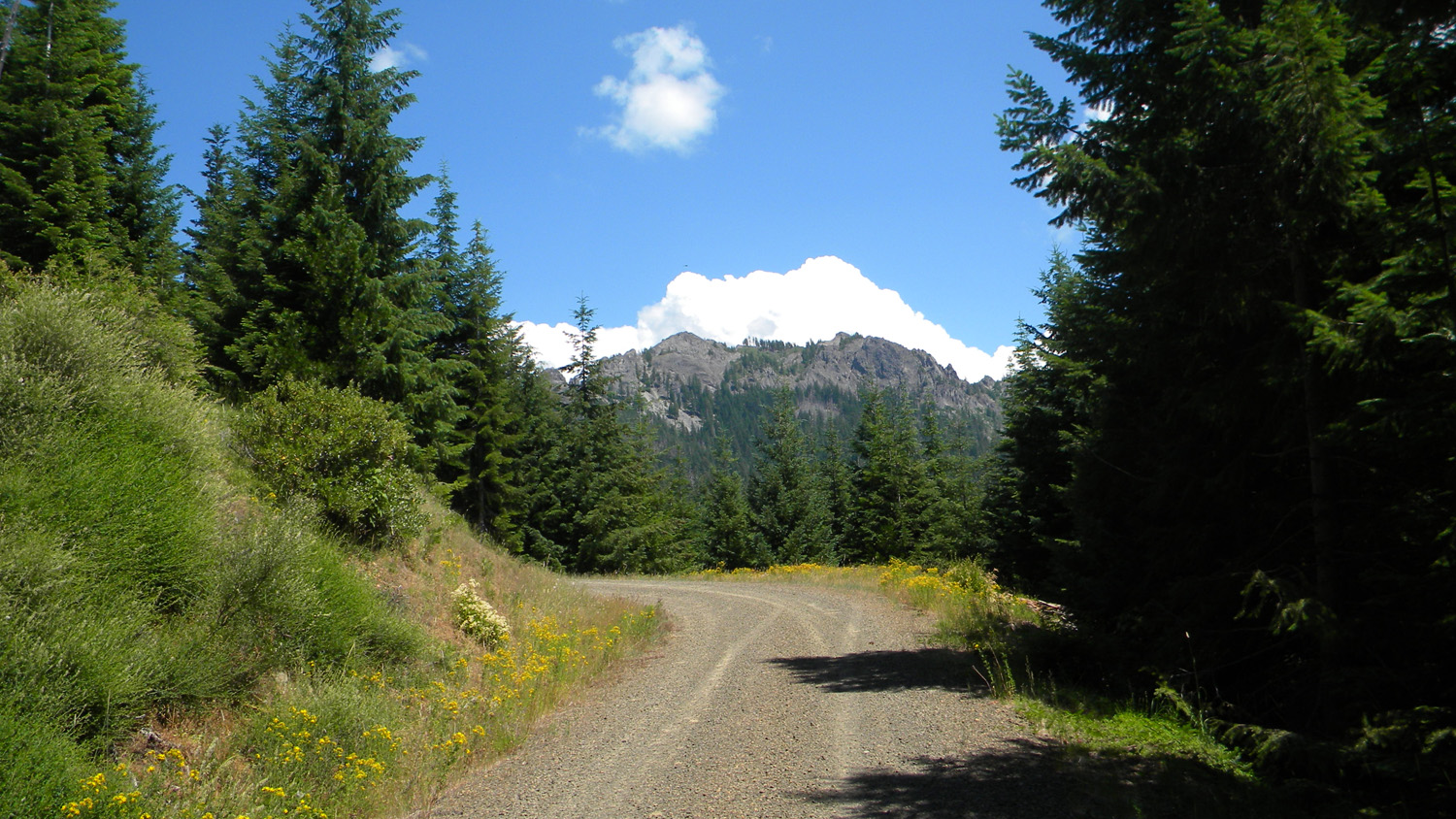
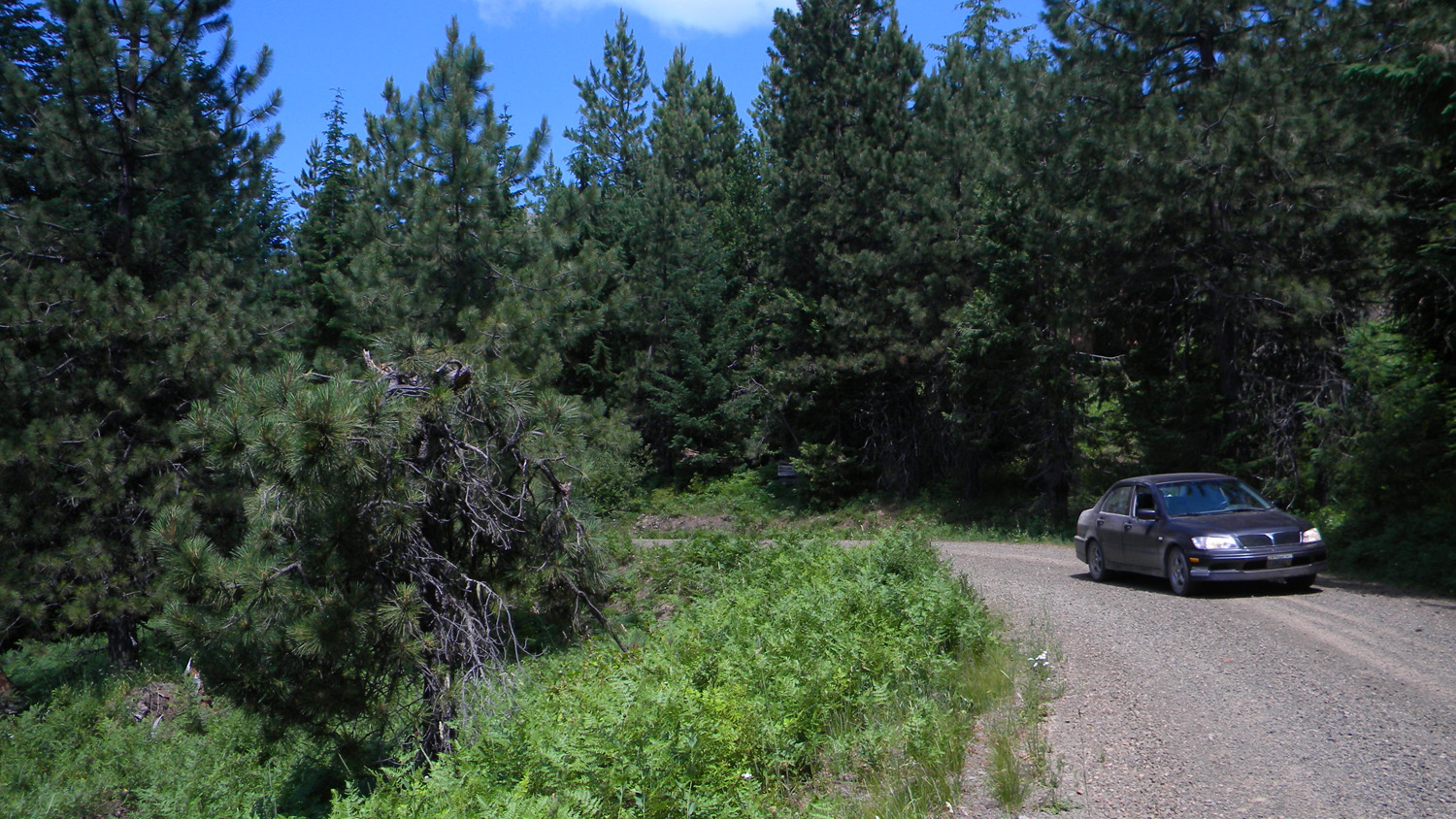
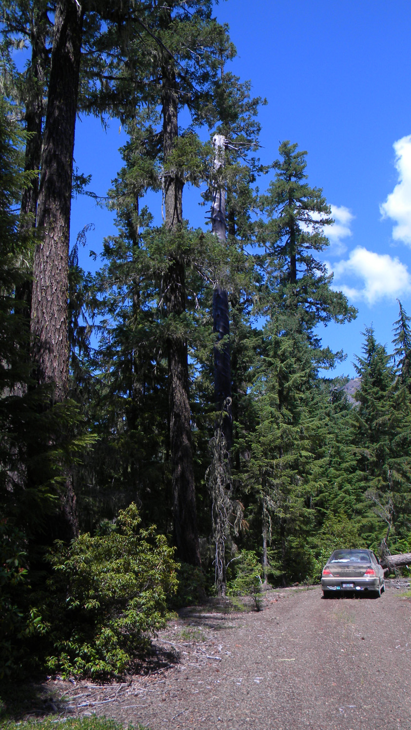
6231_400_Road_View |
6232_400_Road_View |
6233_400_Road_View |
 |
 |
 |
 |
 |
6234_400_Road_Meadow |
6235_400_Road_Meadow |
6236_400_Road_Meadow |
6237_400_Road_Meadow |
6238_400_Road |
 |
 |
 |
 |
 |
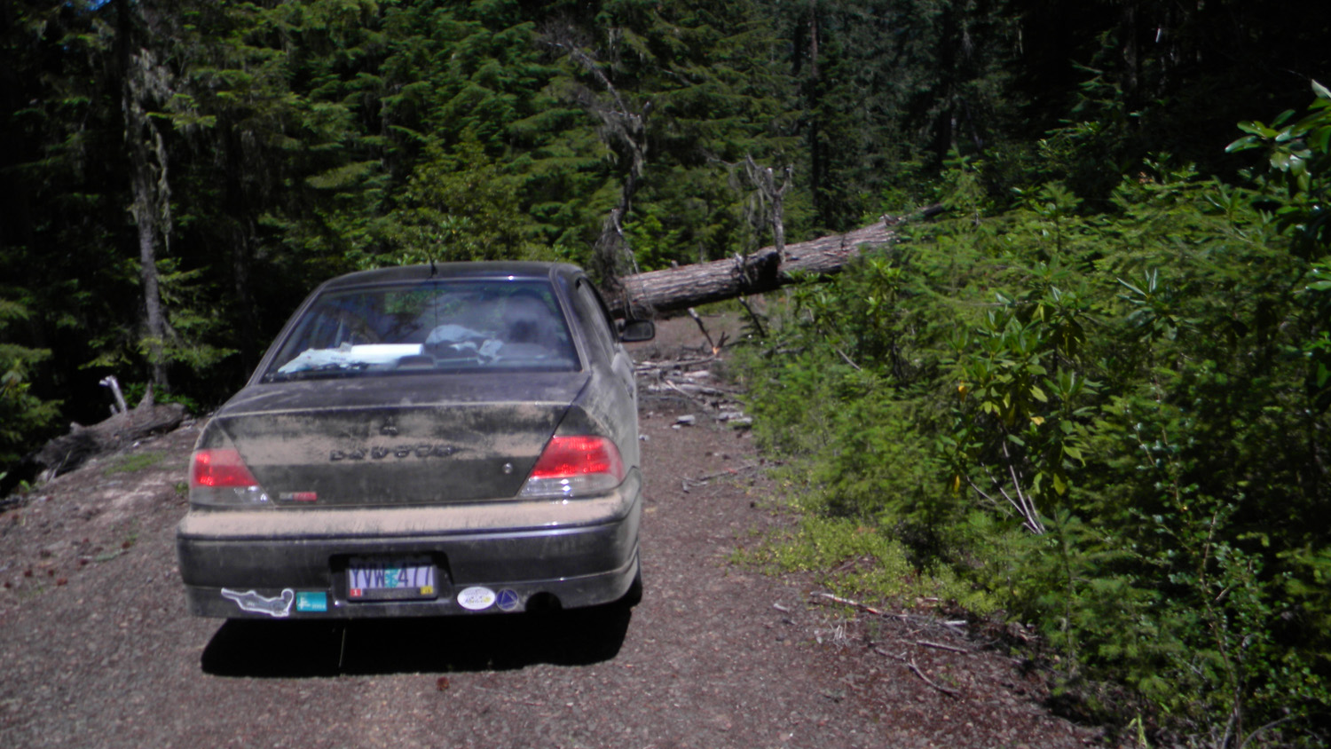
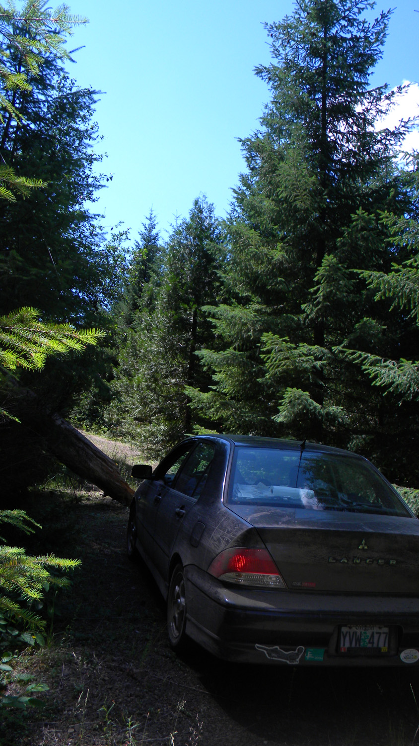
6239_450_Road_Blocked |
6240_450_Road_Blocked |
6241_421_Road_Blocked |
6242_Sadie_Springs |
6243_Sadie_Springs |
 |
||||
6315_300_Road_End |
![]()
© 2010, 2020 Oregon Websites & Watersheds Project, Inc. & NW Maps Co.