Upper South Umpqua Headwaters Precontact Reference Study
Tsp. 28 S., Rng. 2 E.
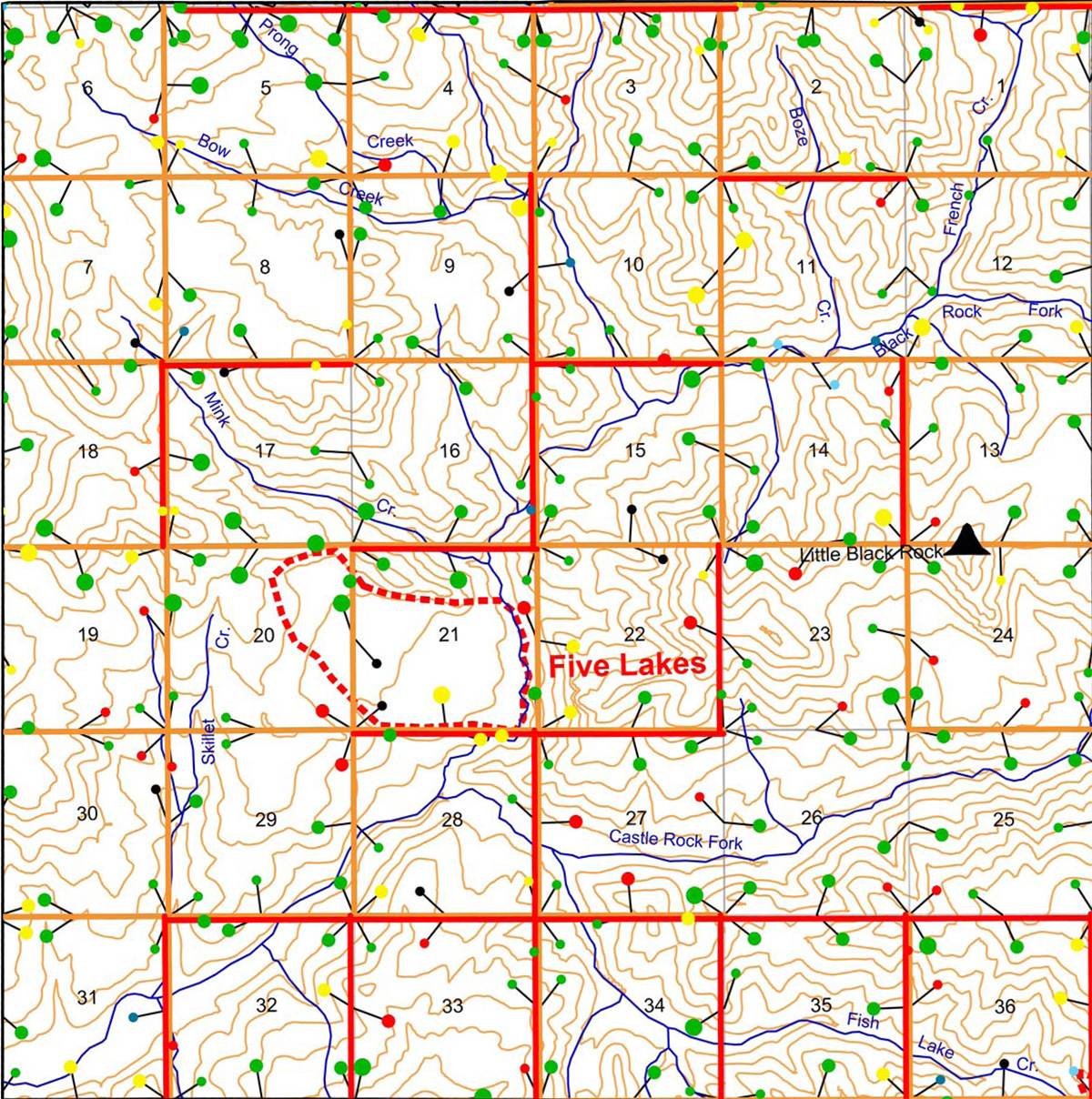
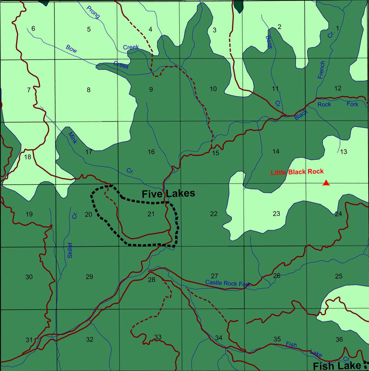
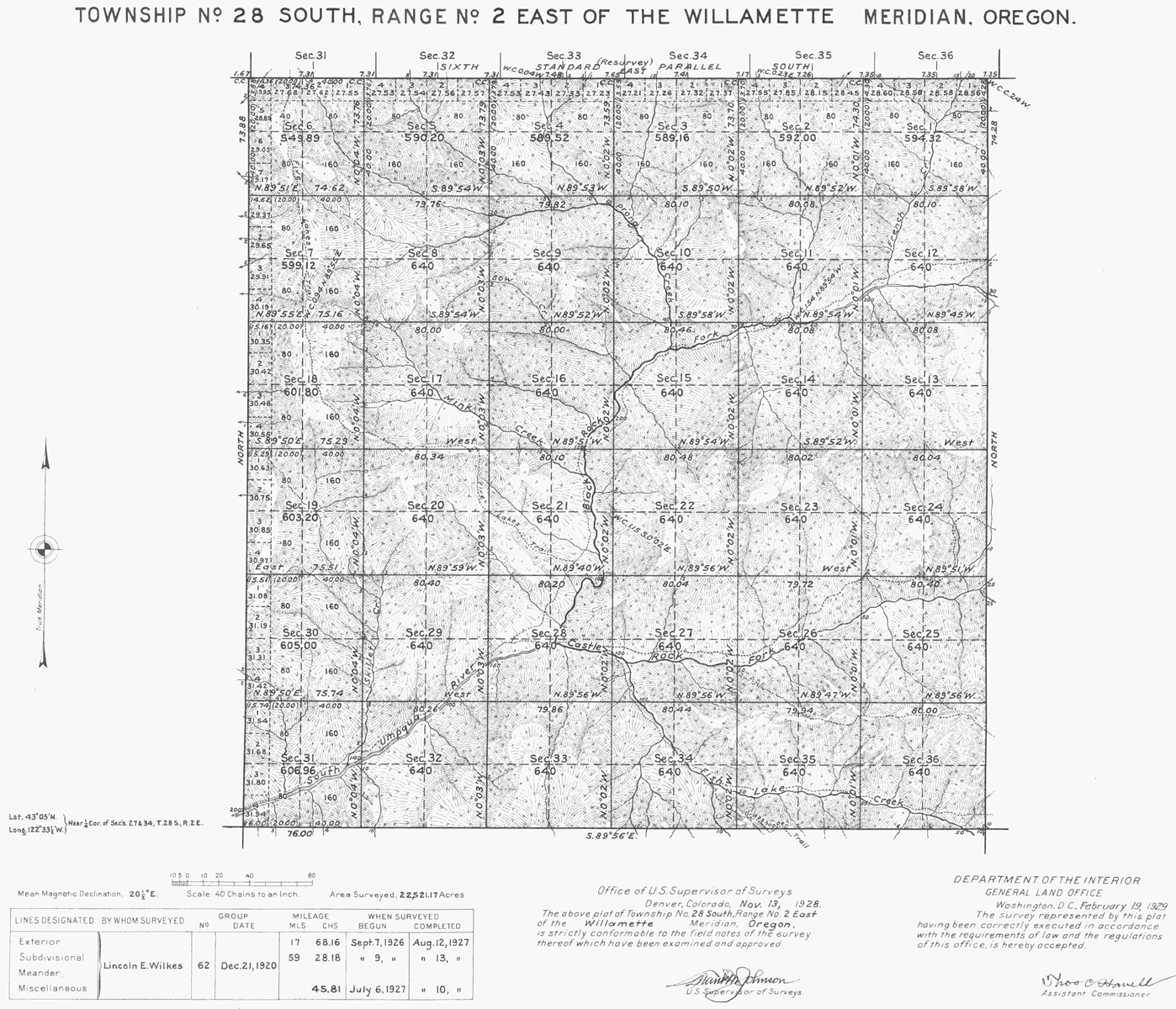
This township is entirely contained within the 2010 South Umpqua Headwaters Precontact Reference Conditions Study, including Little Black Rock Fire Lookout and the Five Lakes Area of Special Interest. This survey was completed in 1927 and mapped in 1928 (Wilkes 1927). Here are the typed survey notes Original Land Survey Notes.
This township contains portions of four of the study's subbasins: the northwestern Castle Rock Fork subbasin, southwestern Black Rock Fork subbasin, the southeaster corner of Quartz Creek subbasin, and northeastern tip of Buckeye Creek subbasin.
This page includes specific maps and aerial photographs of Pickett Butte, panoramas and QTVR video files constructed from the 2010 field research studies, and individual historical and 2010 documentary photographs showing current condtions, native plants and animals, and other points of interest related to this study area.
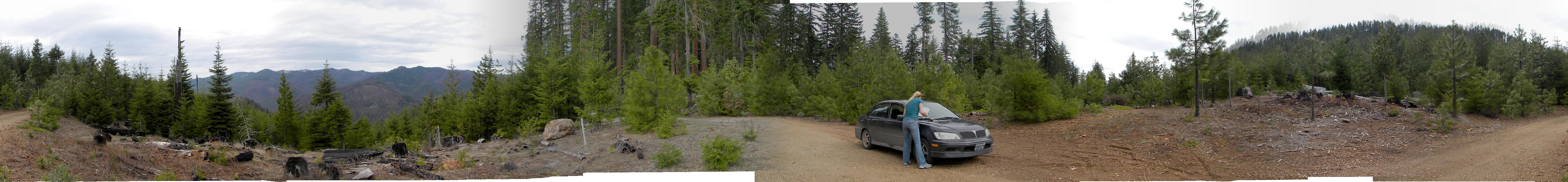
Panoramas and QTVRs
 |
 |
 |
 |
 |
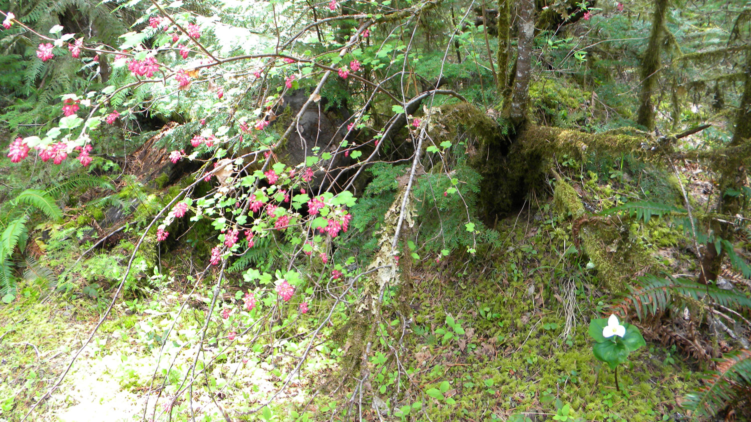
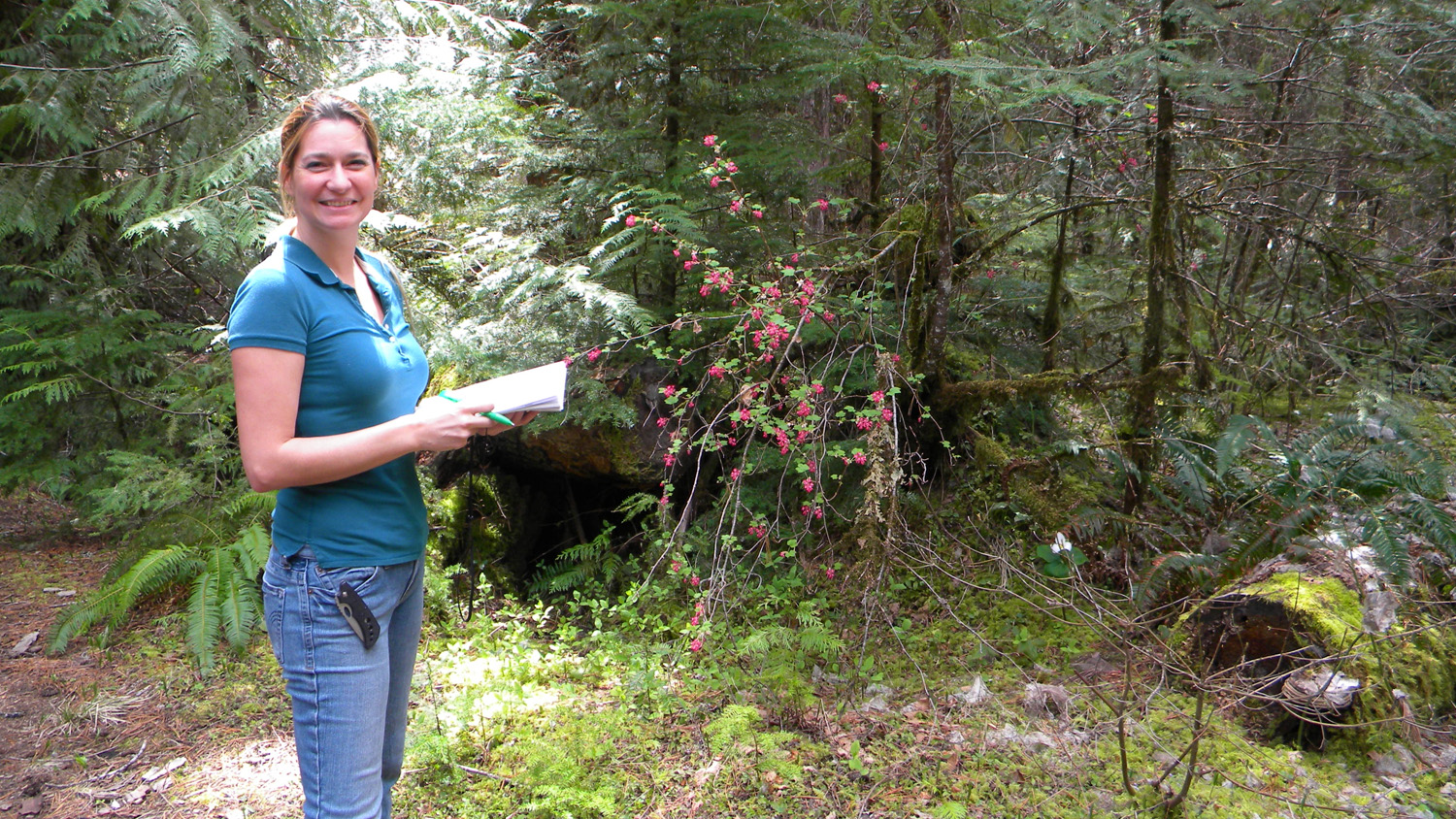
1370_Wild_Currant_Trillium
|
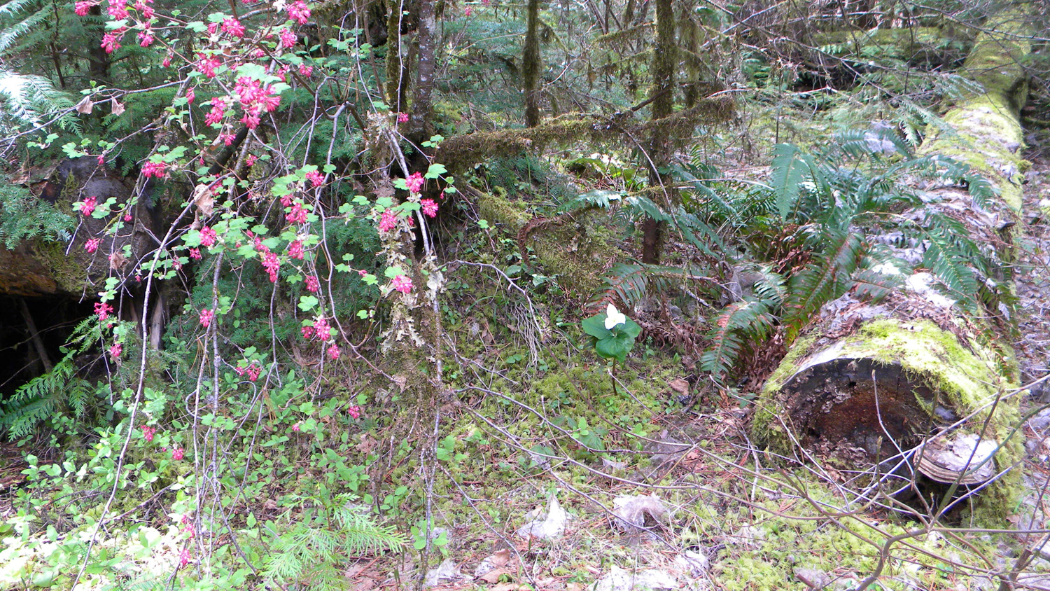
1371_Wild_Currant_Trillium
|
1372_Wild_Currant_Nana
|
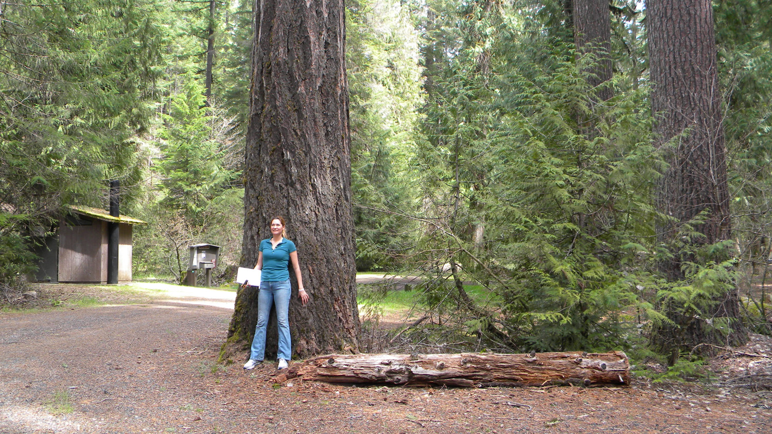
1373_Douglas-fir
|
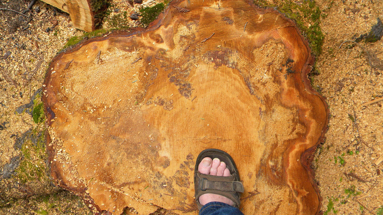
1375_Tree_Rings
|
 |
 |
 |
 |
 |
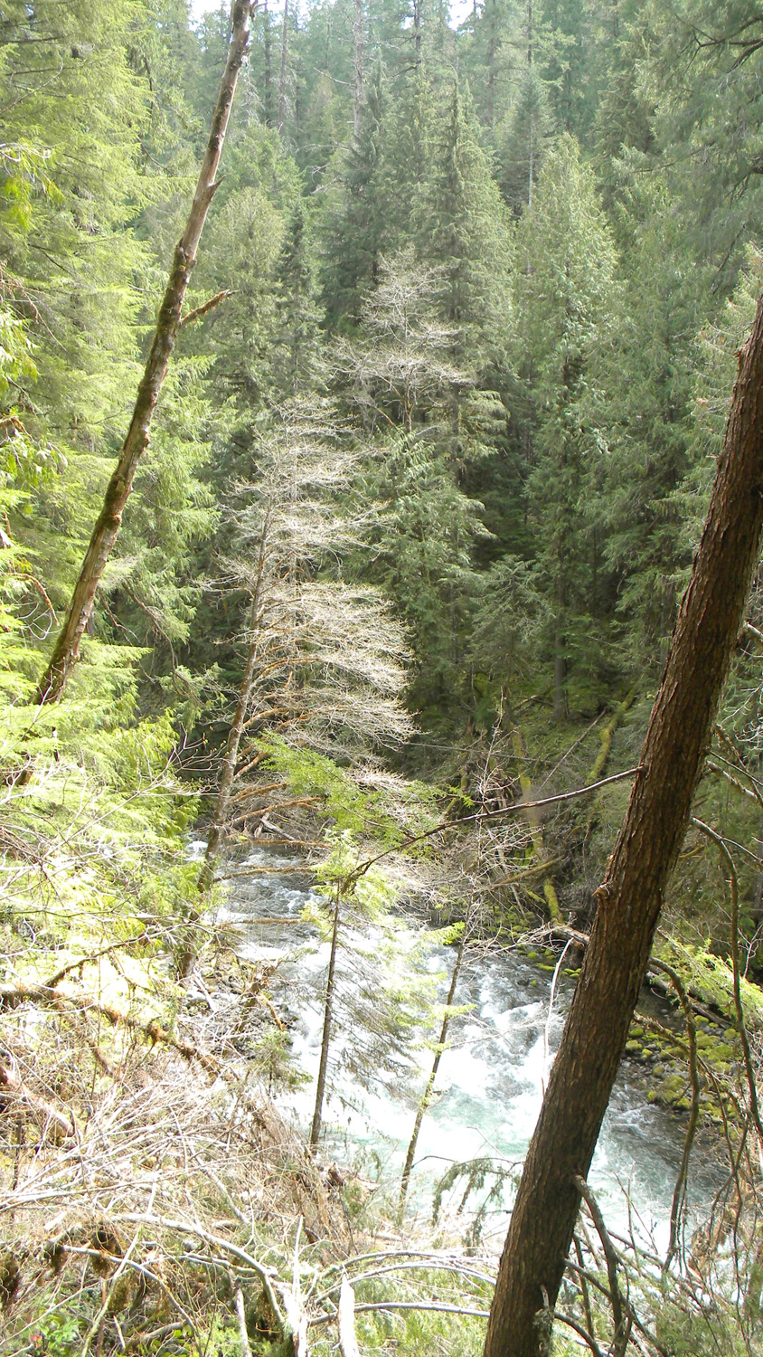
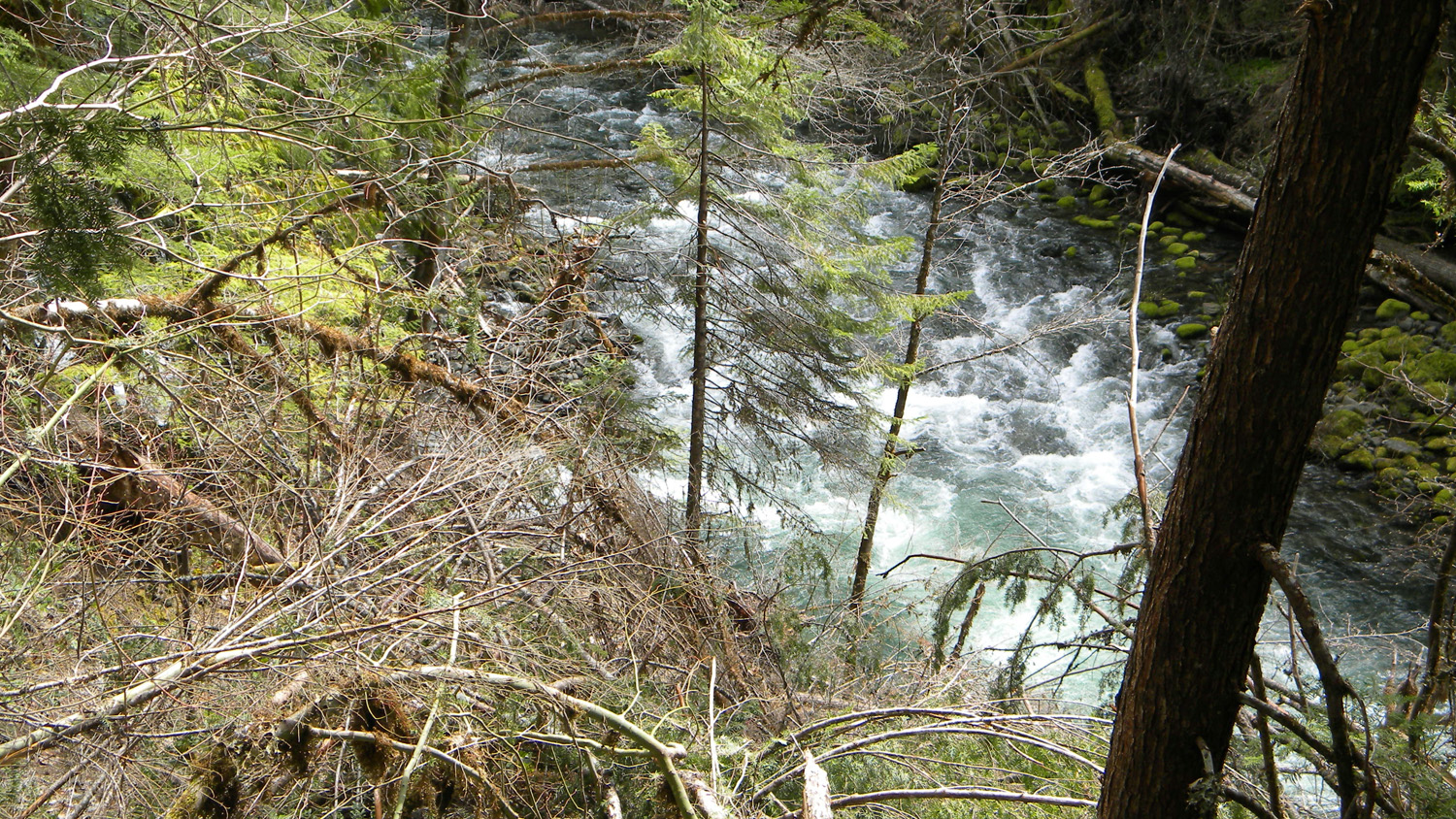
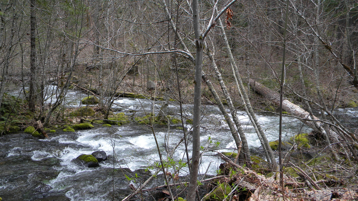
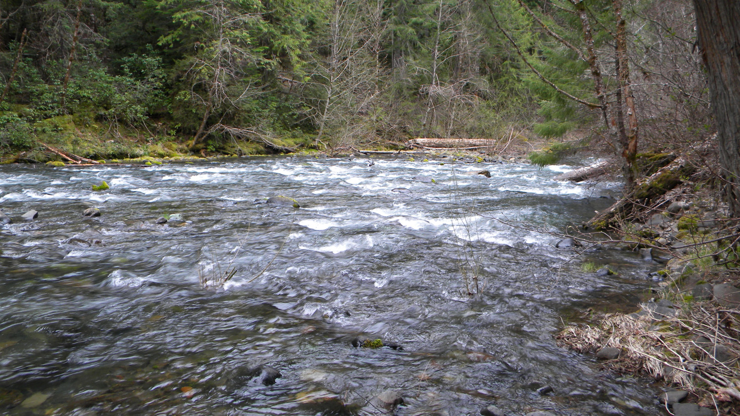
1376_Rapids
|
1377_Rapids
|
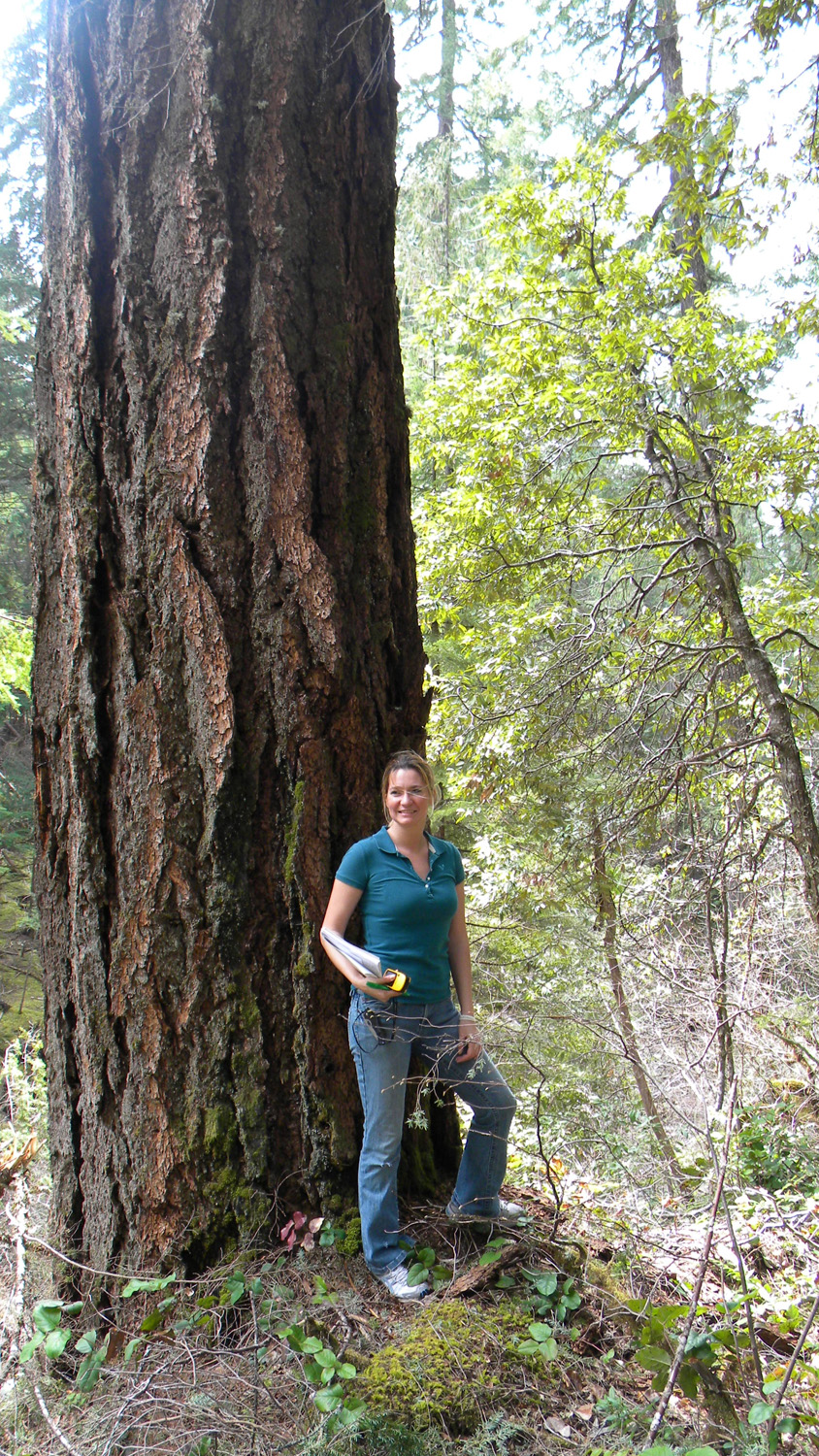
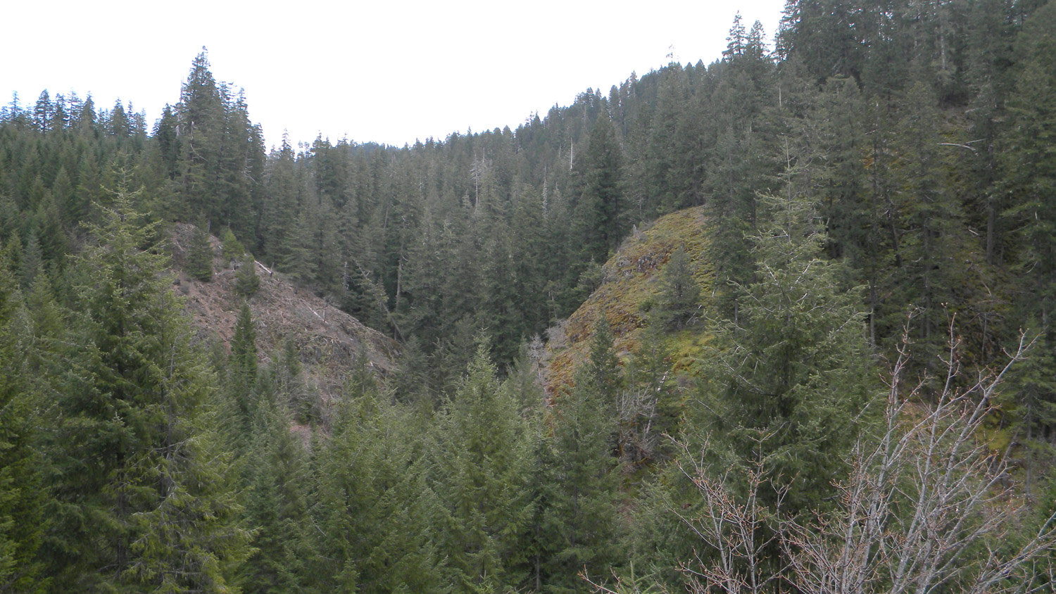
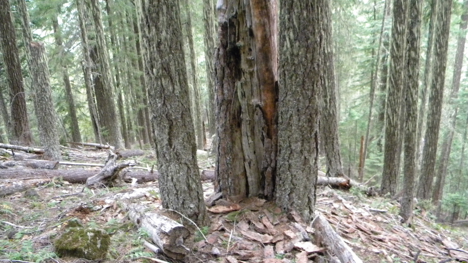
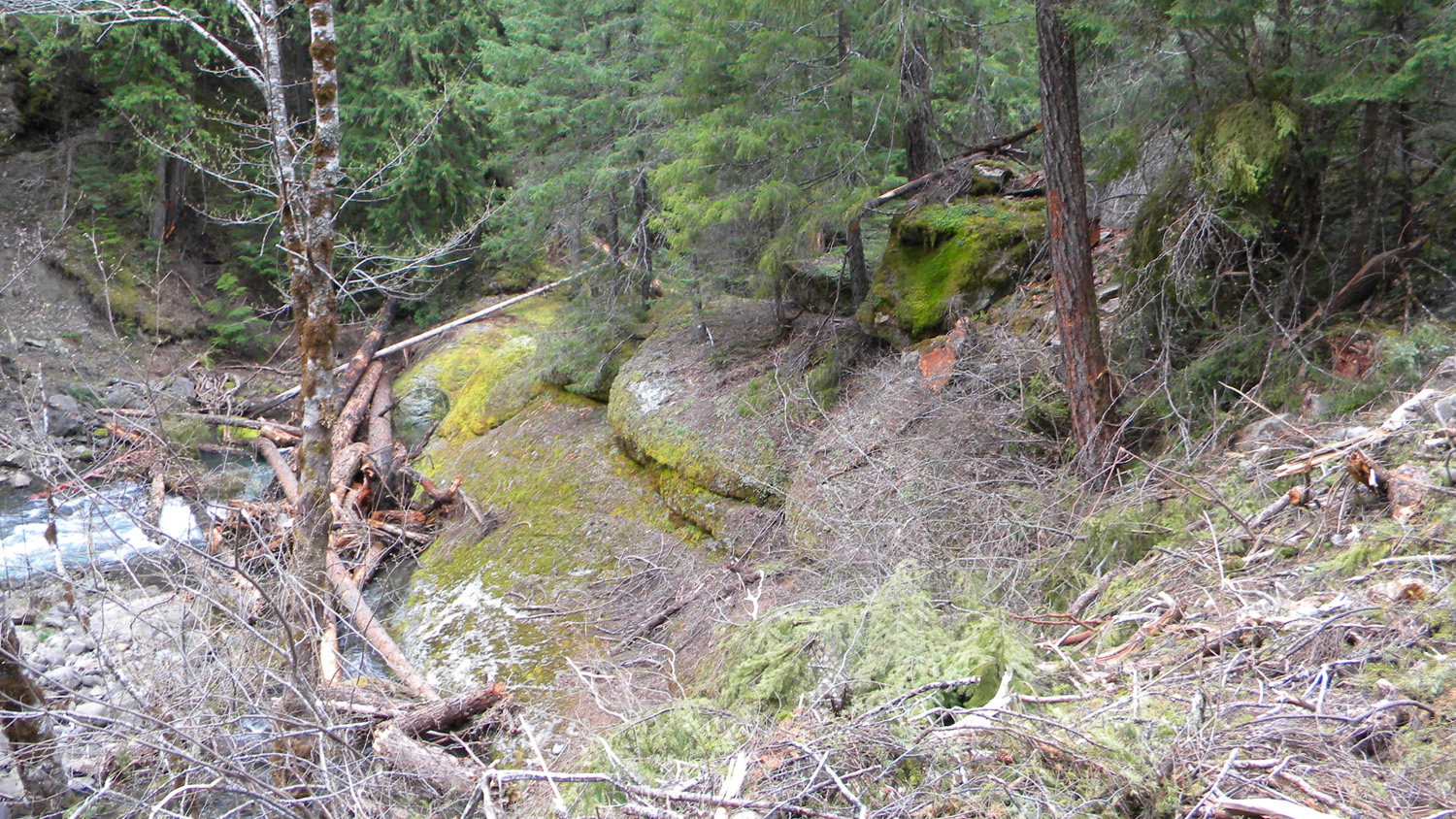
1378_Old_Growth
|
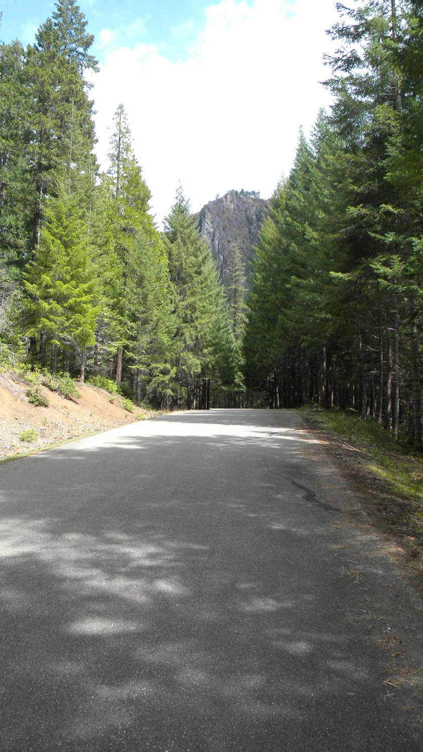
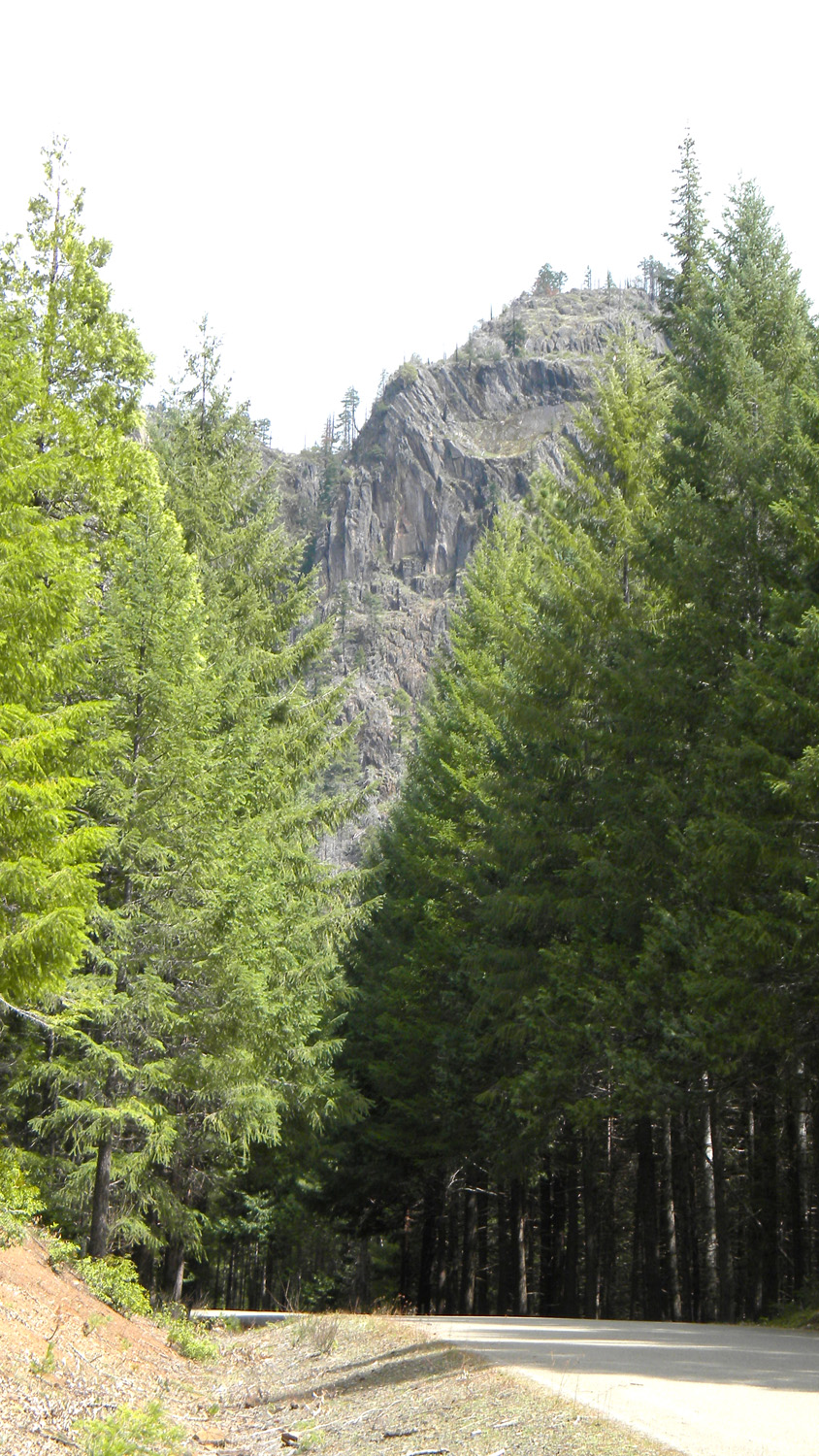
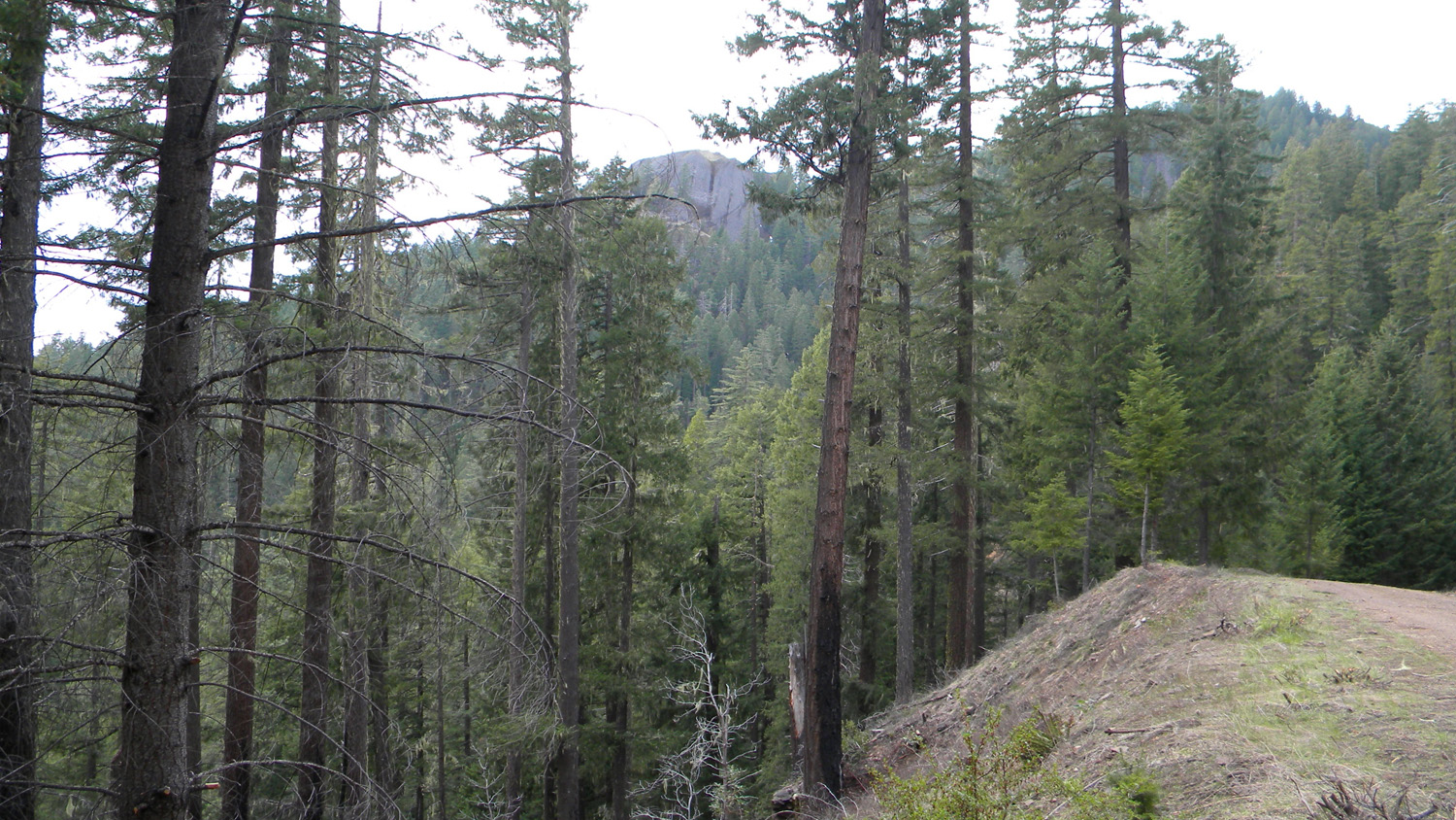
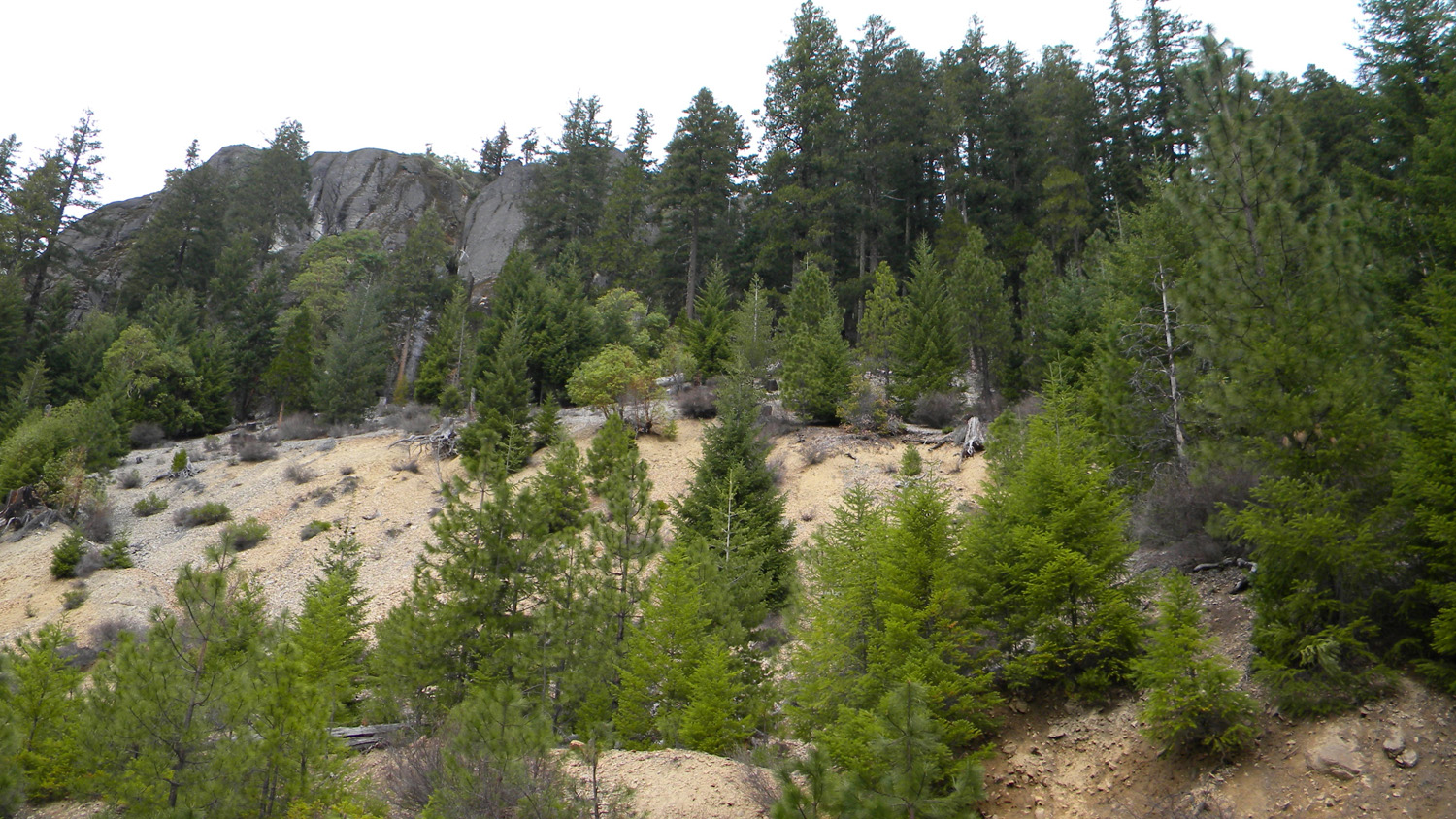
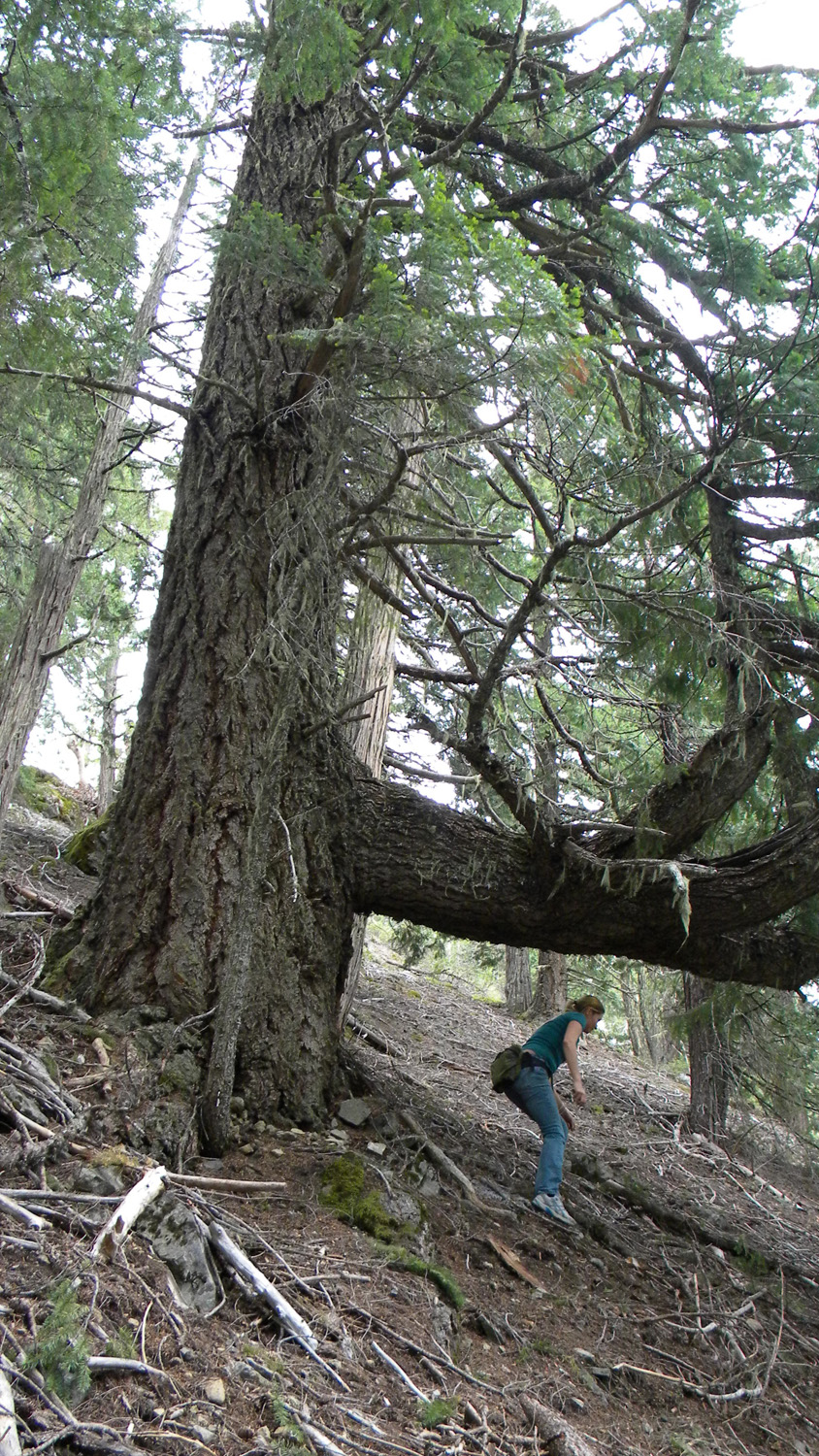
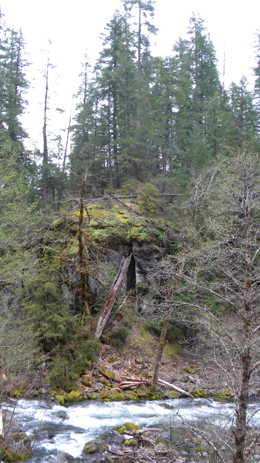
1379_Landmark
|
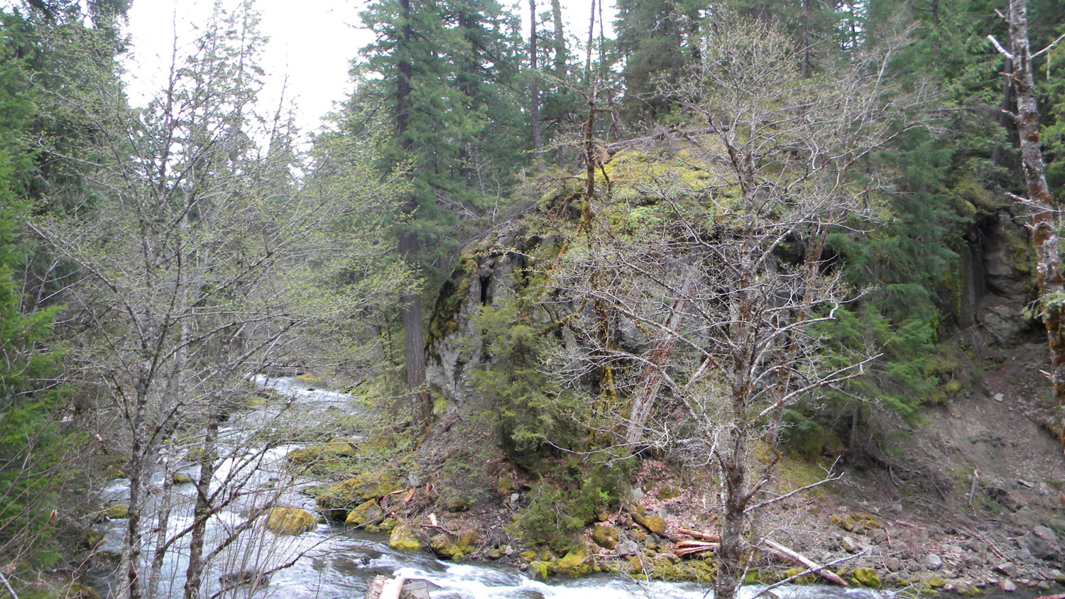
1380_Landmark
|
 |
 |
 |
 |
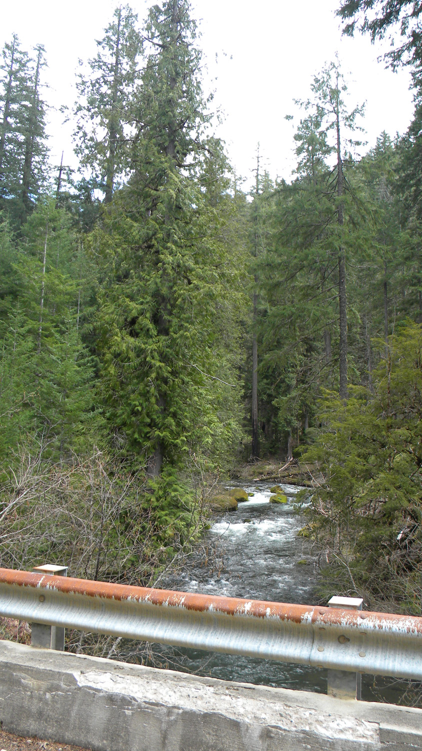 |
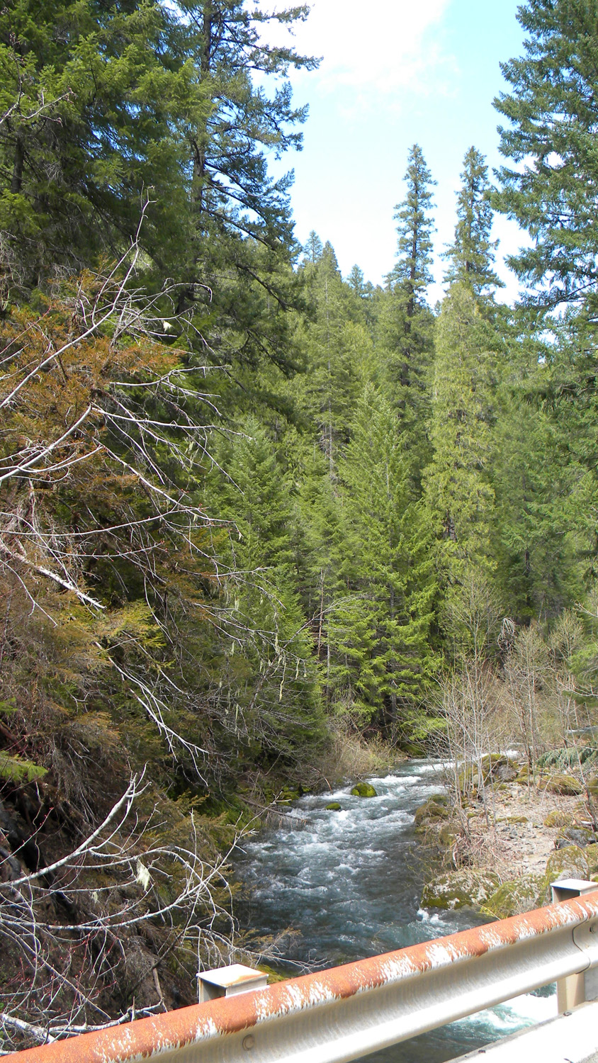
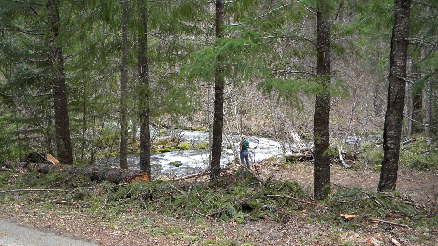
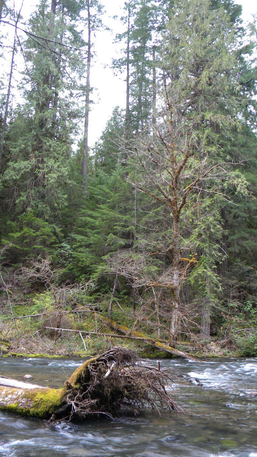
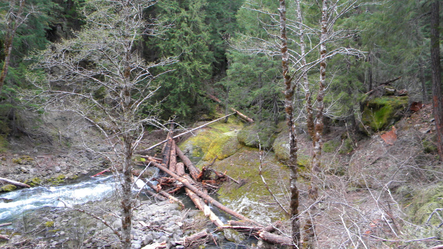
1381_Black_Rock_Fork
|
1382_Black_Rock_Fork
|
1383_Black_Rock_Fork
|
1384_Black_Rock_Fork
|
1385_Black_Rock_Fork
|
 |
 |
 |
 |
 |
1386_Black_Rock_Fork
|
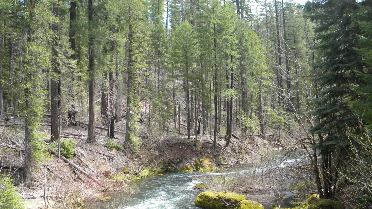
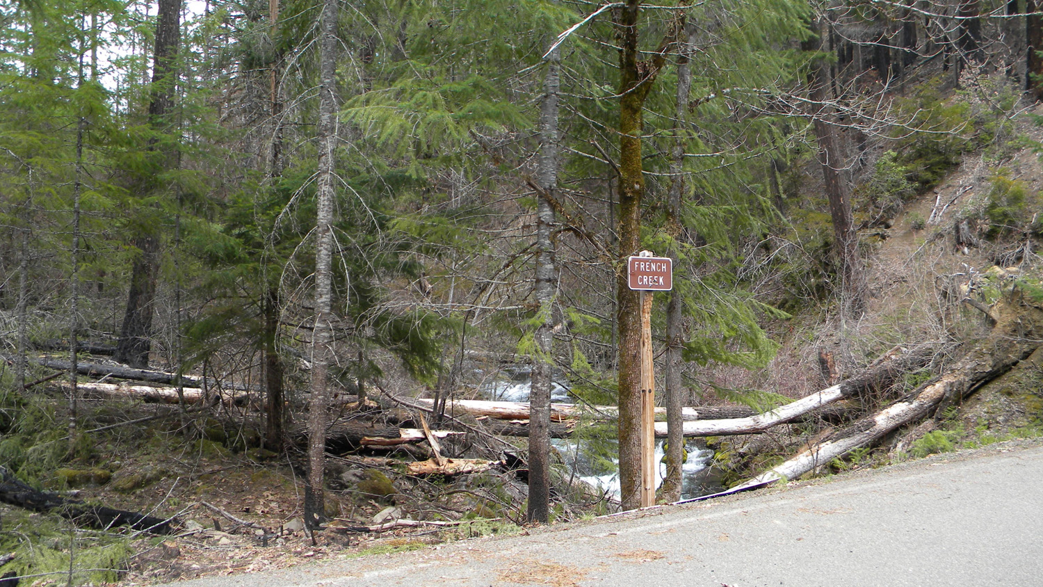
1387_French_Creek_Mouth
|
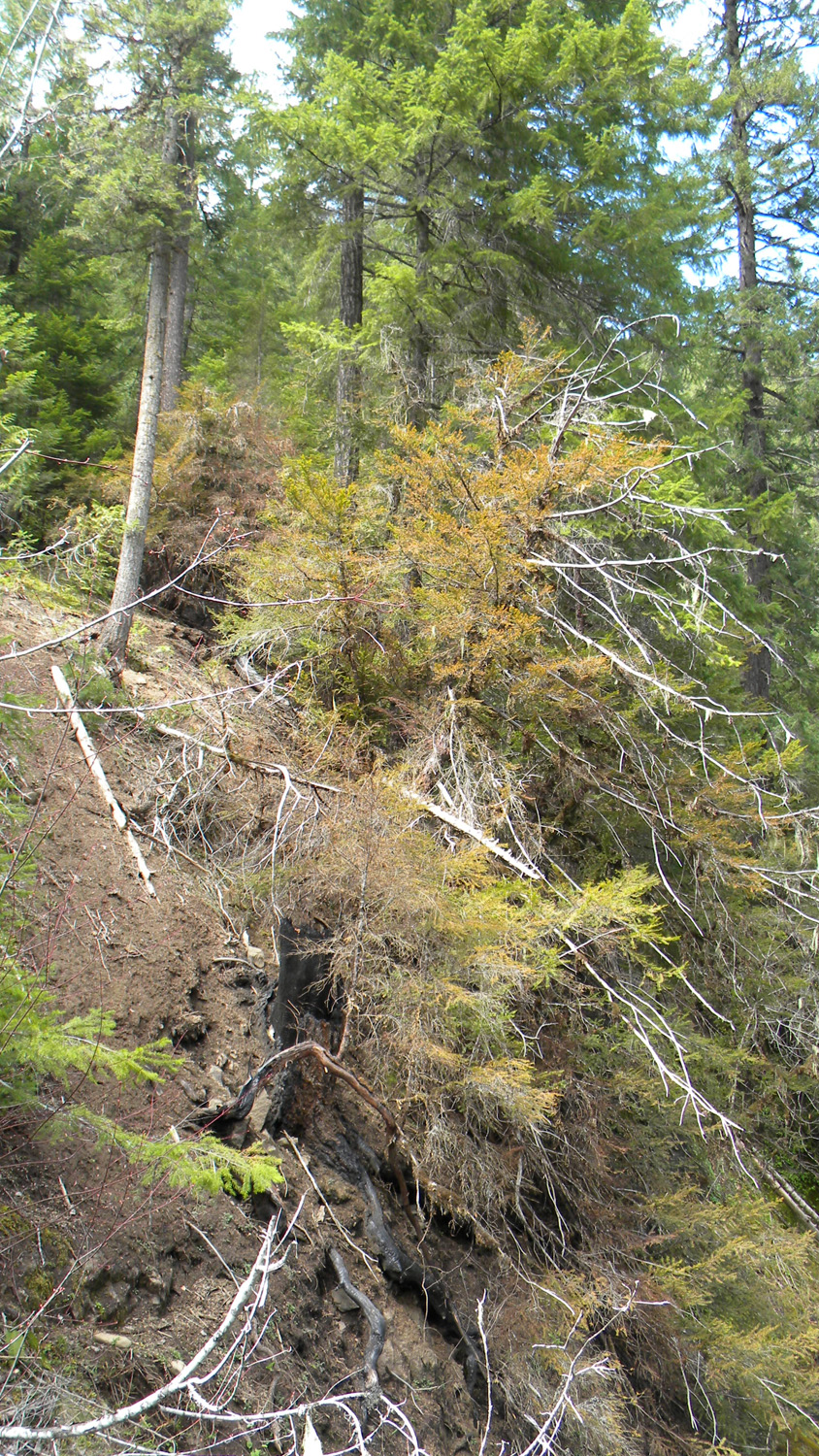
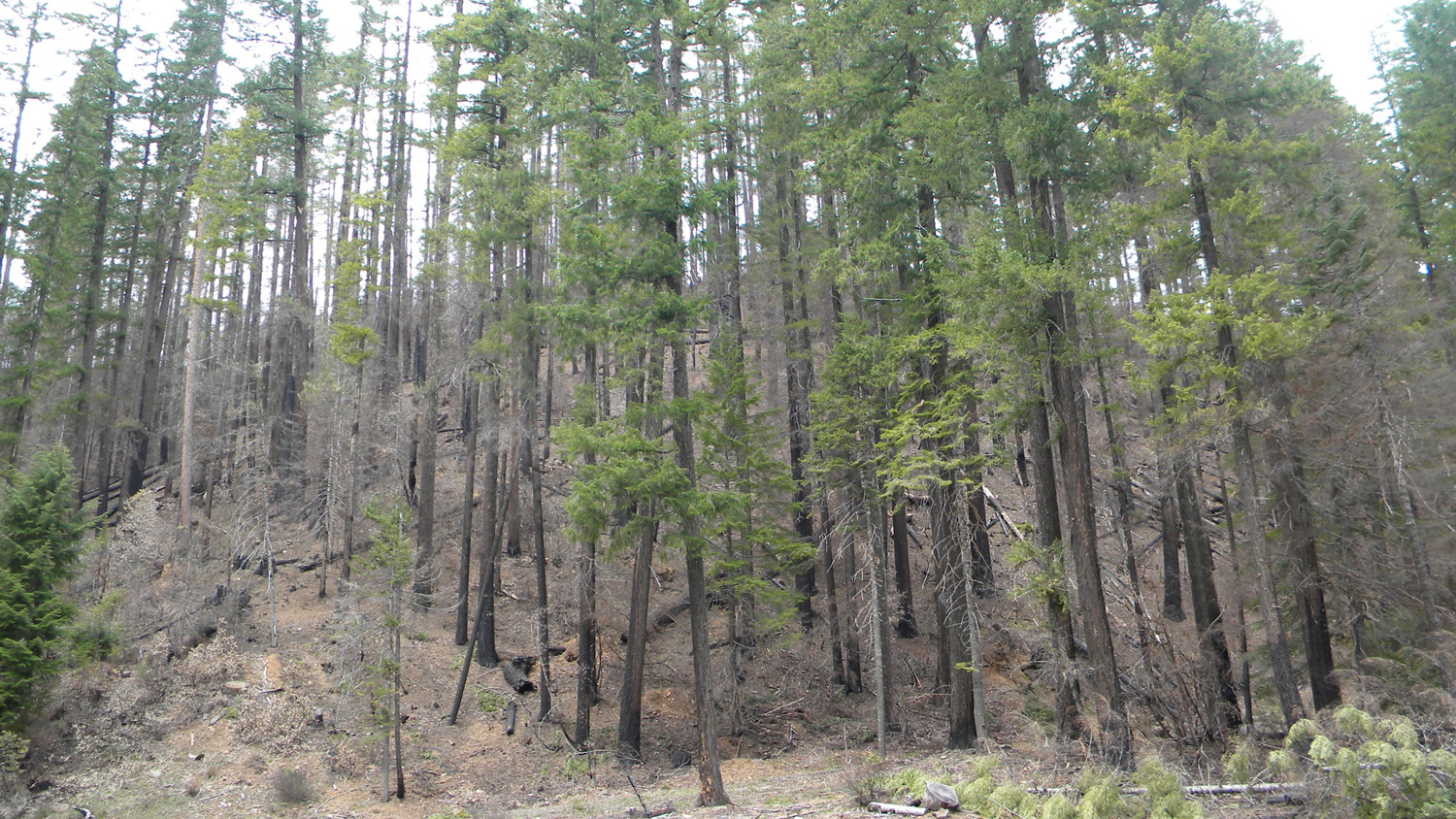
1388_Burn
|
1389_French_Creek_Mouth
|
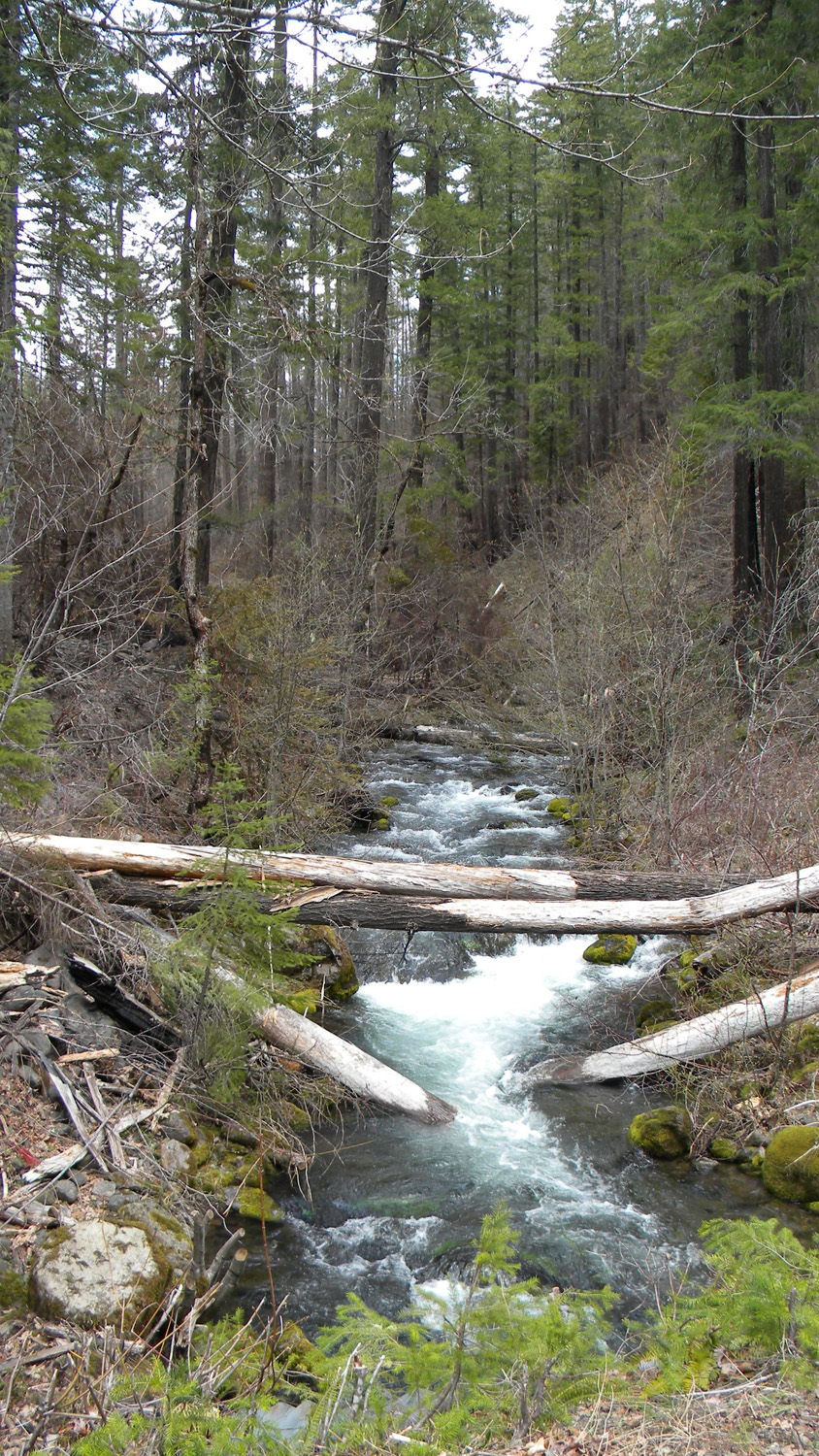
1390_French_Creek_Upstream
|
 |
 |
 |
 |
 |
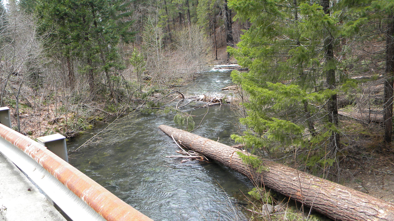
1391_French_Creek_Upstream
|
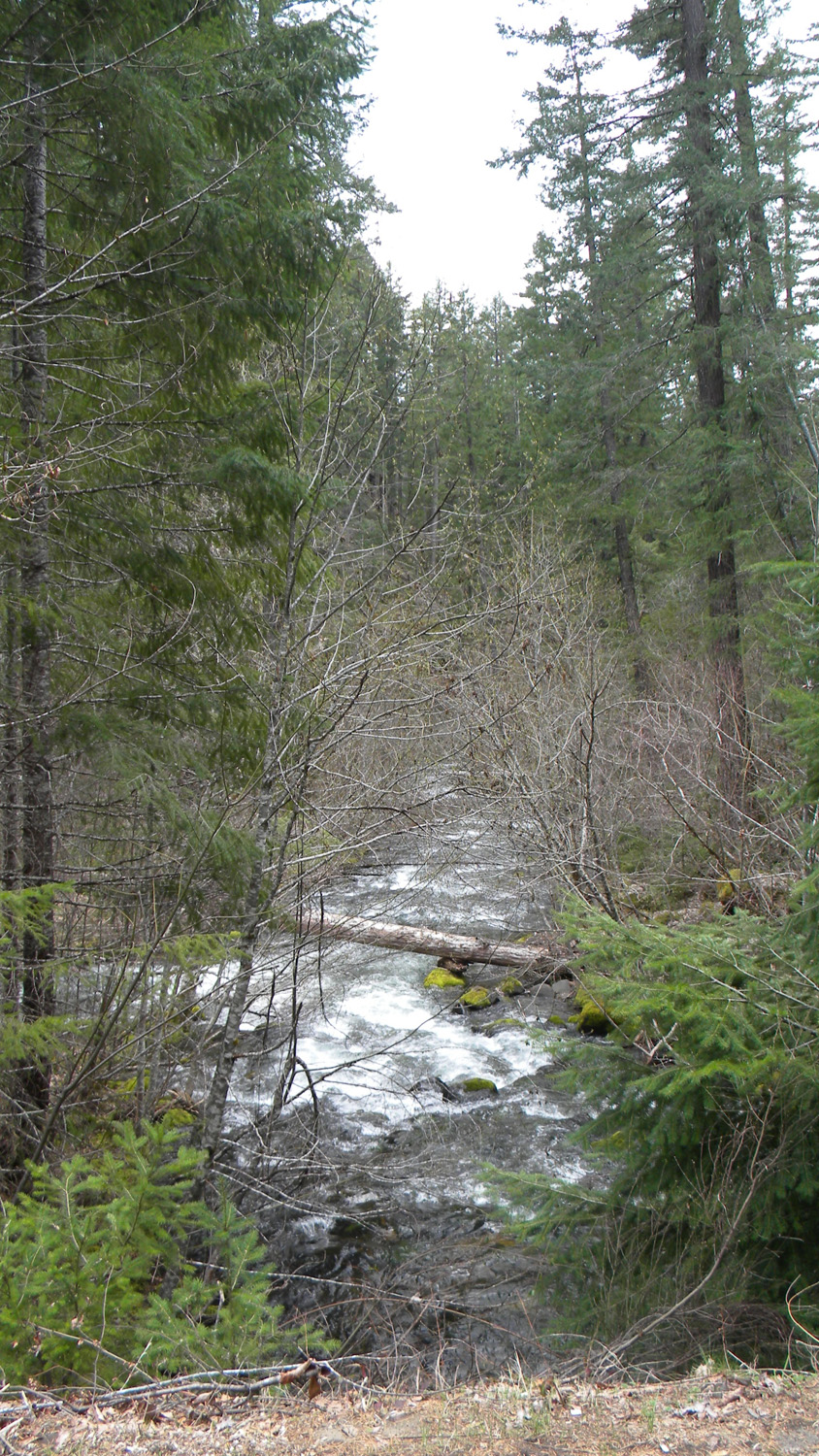
1392_French_Creek_Downstream
|
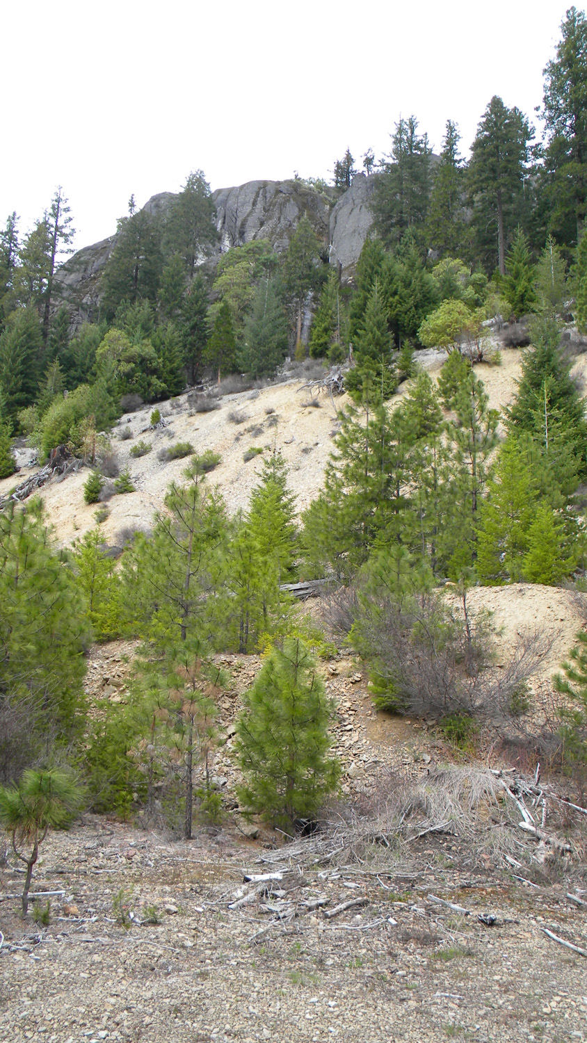
1393_Lookout
|
1395_Lookout
|
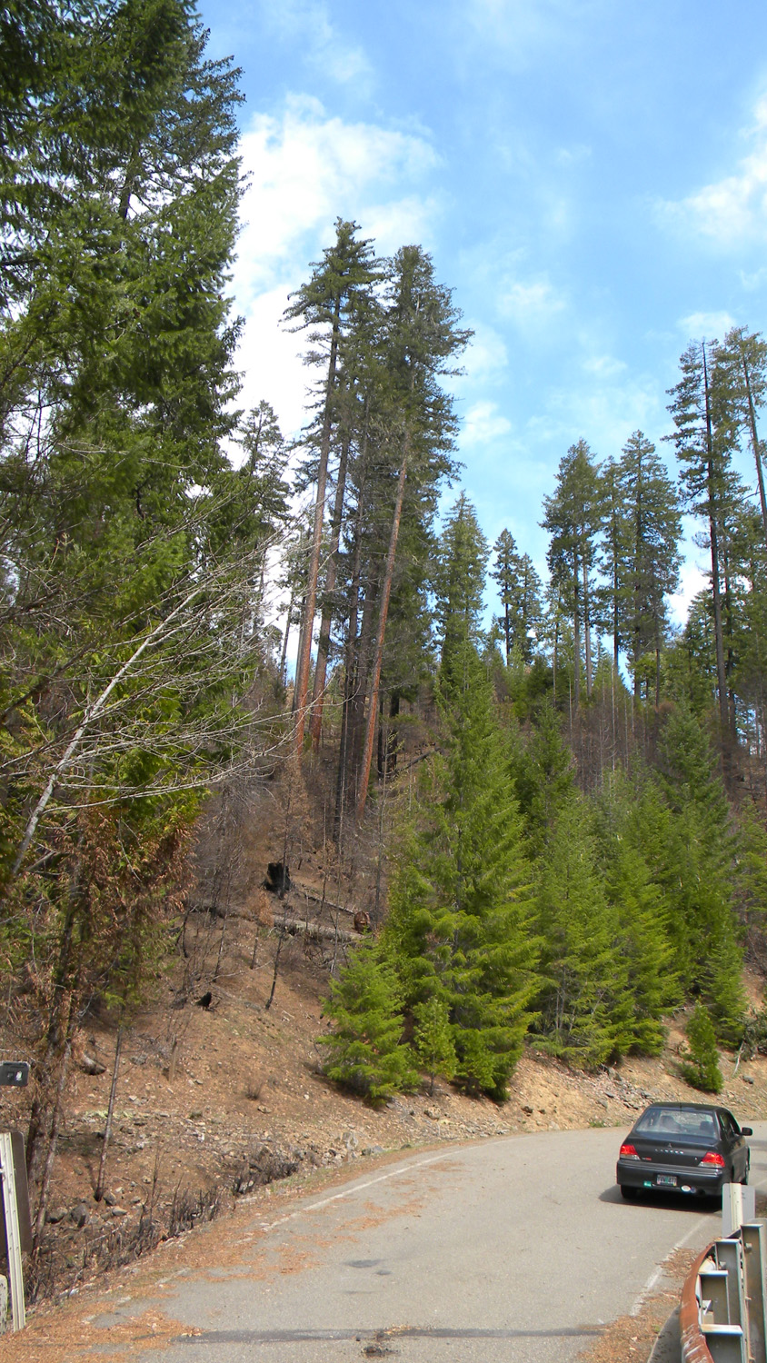
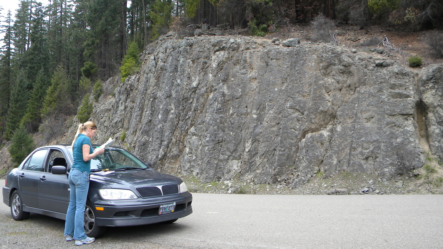
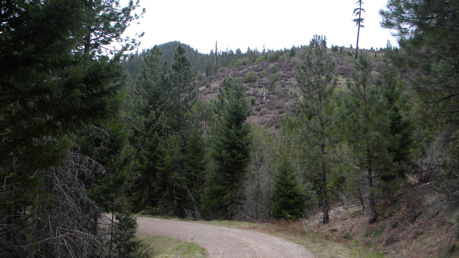
1451_2823_Road
|
 |
 |
 |
 |
 |
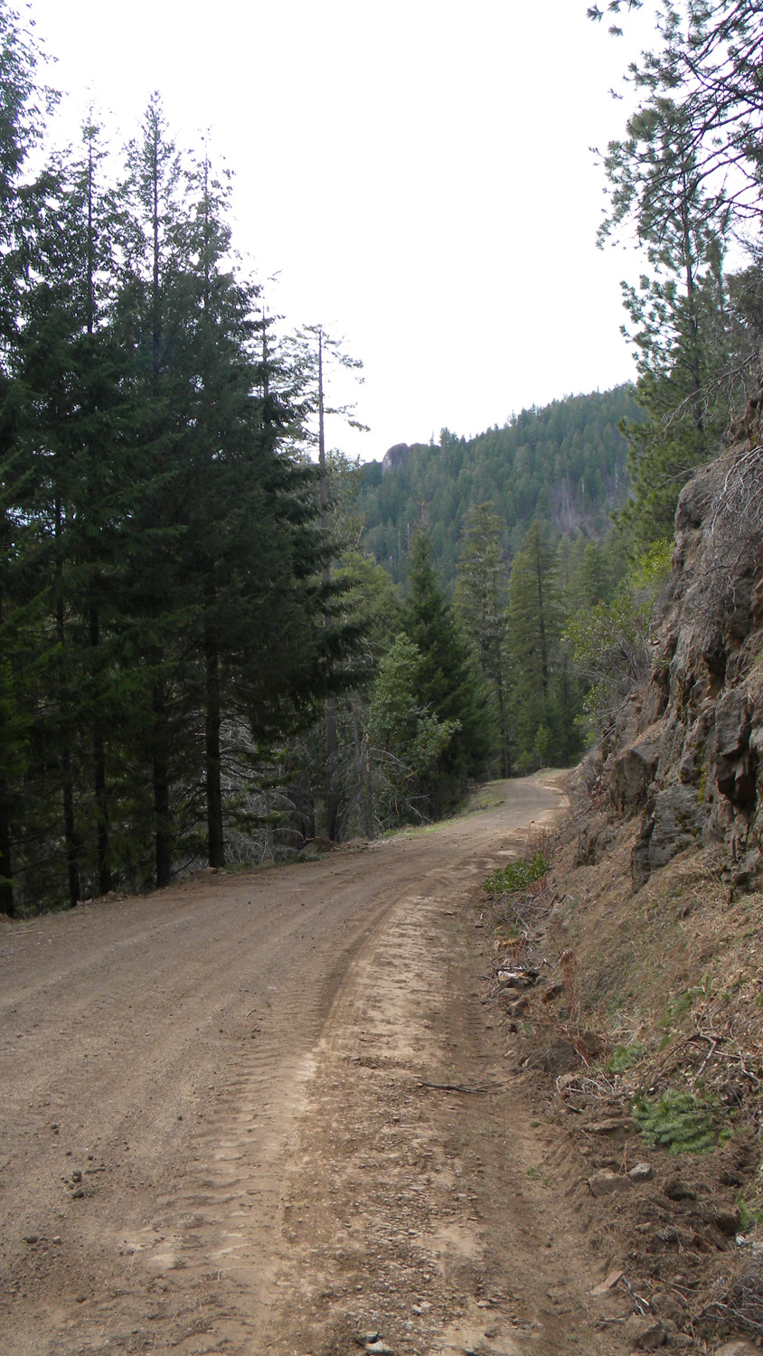
1453_View_Little_Black_Rock |
1454_500_Spur |
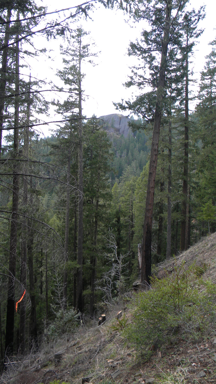
1456_Little_Black_Rock |
1457_Little_Black_Rock |
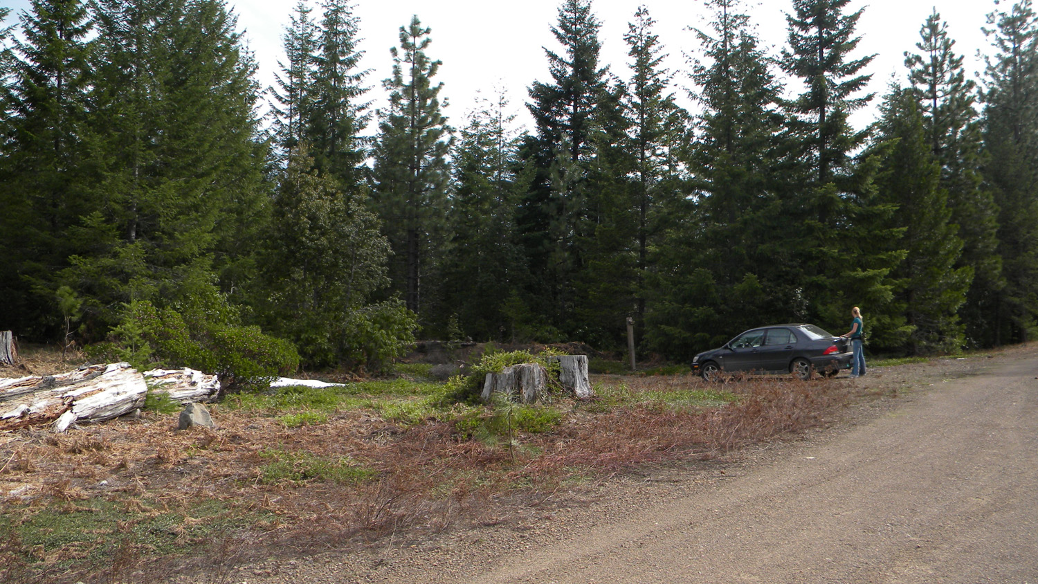
1468_Black_Rock_Trailhead |
 |
 |
 |
 |
 |
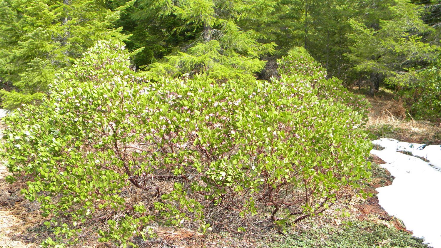
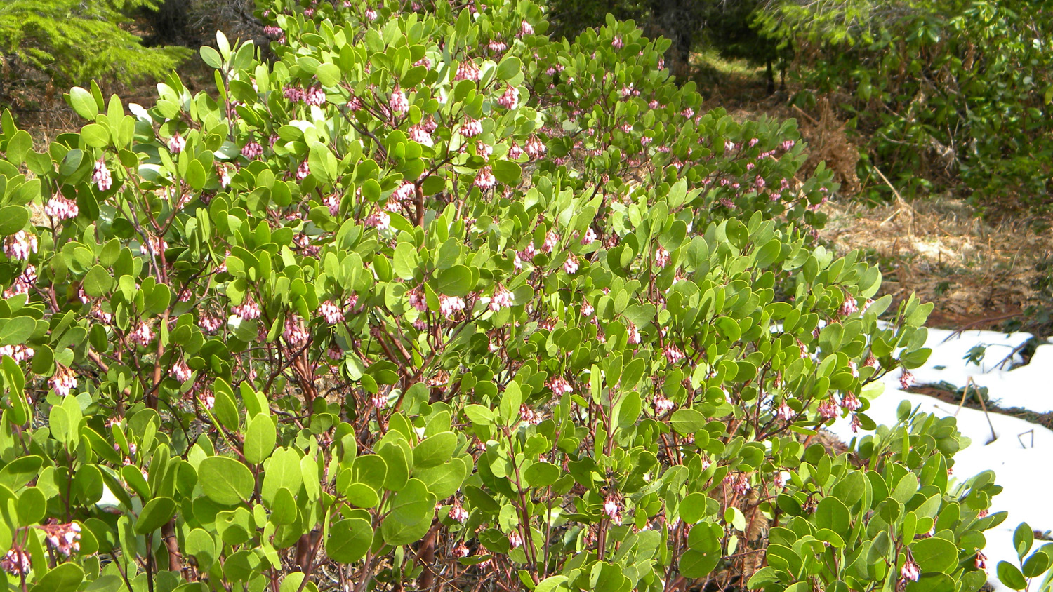
1469_Manzanita |
1470_Manzanita |
1472_Black_Rock_Trailhead |
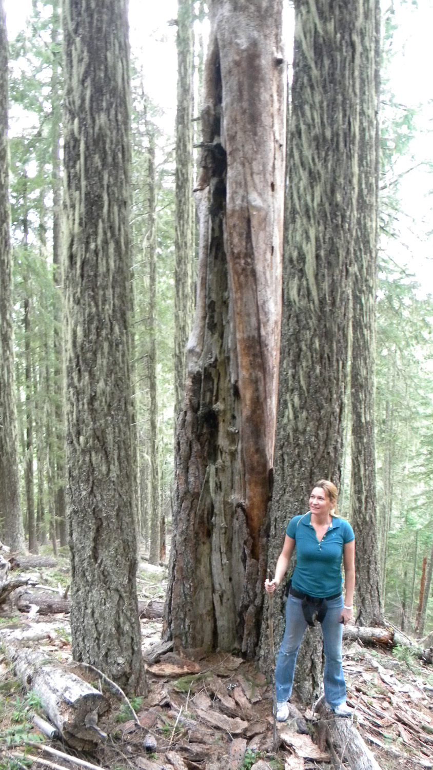
1473_Tree |
1474_Tree |
 |
 |
 |
 |
 |
1475_Twisted_Tree |
1476_Strange_Tree |
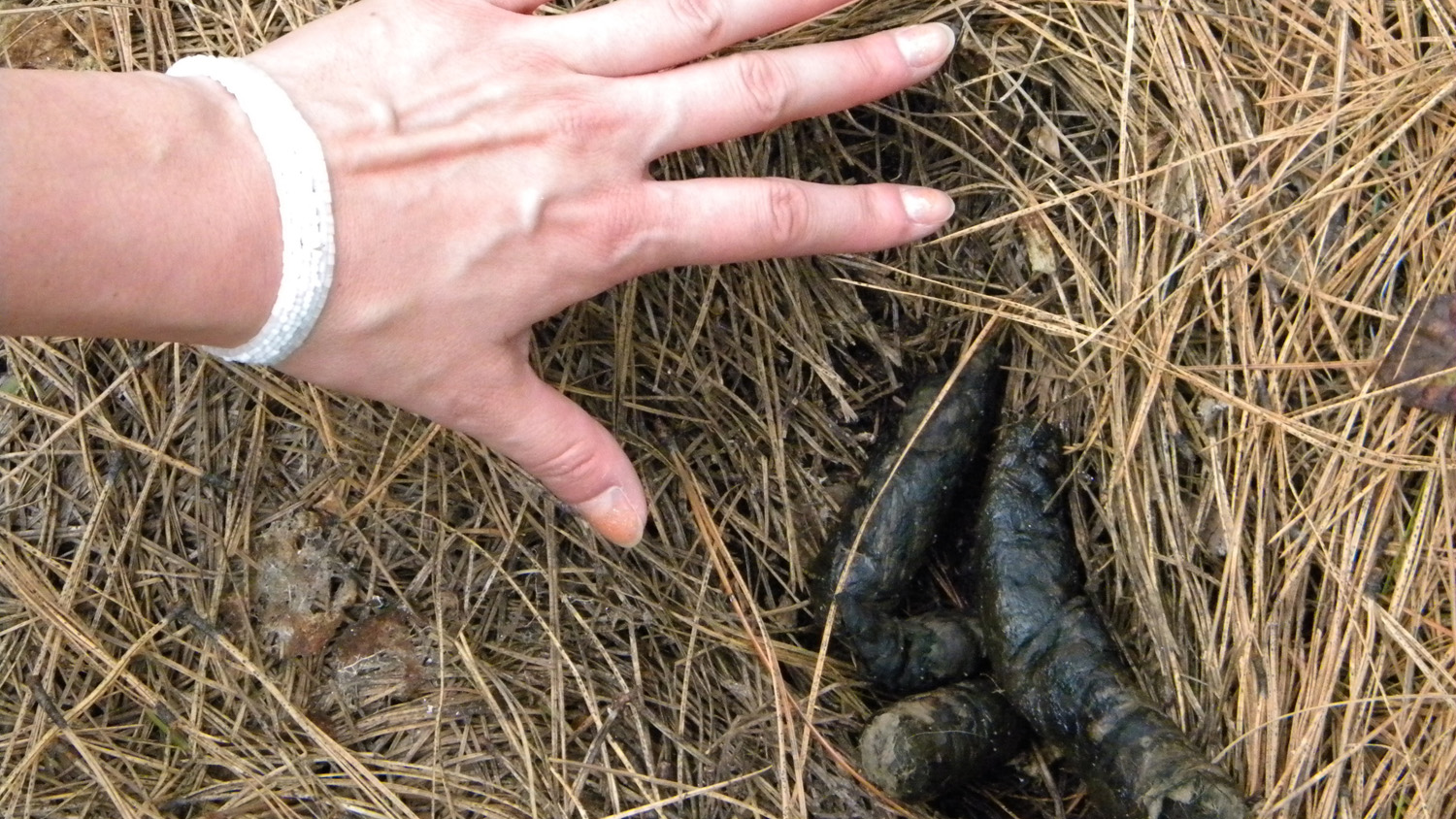
1500_Cougar_Scat |
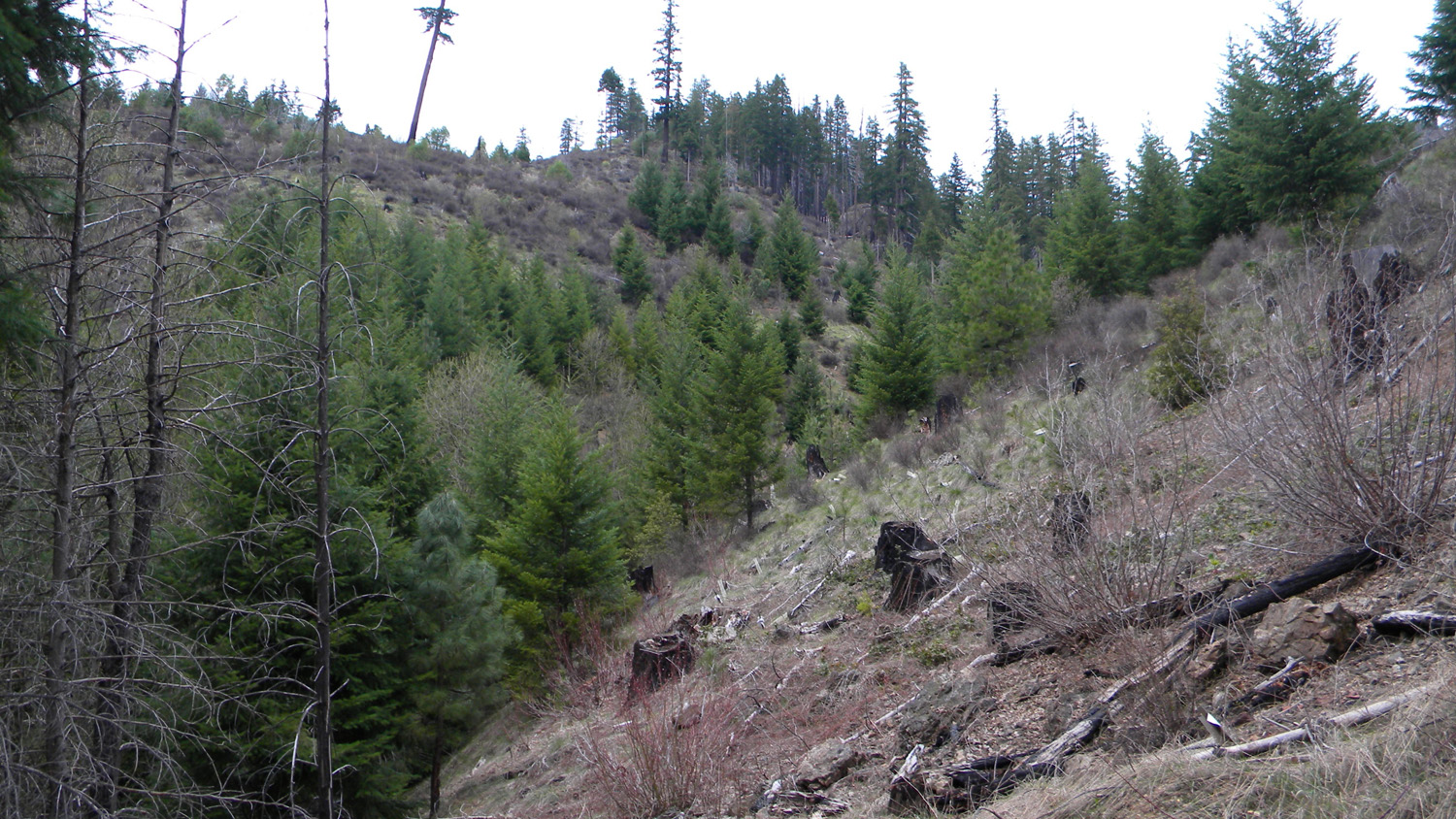
1501_Plantation |
1502_Plantation |
 |
 |
 |
 |
 |
1504_Plantation |
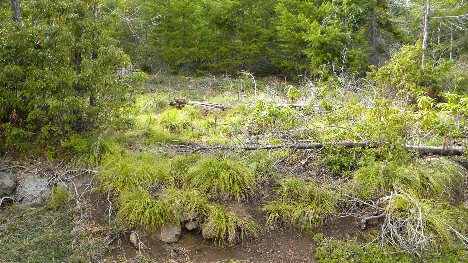
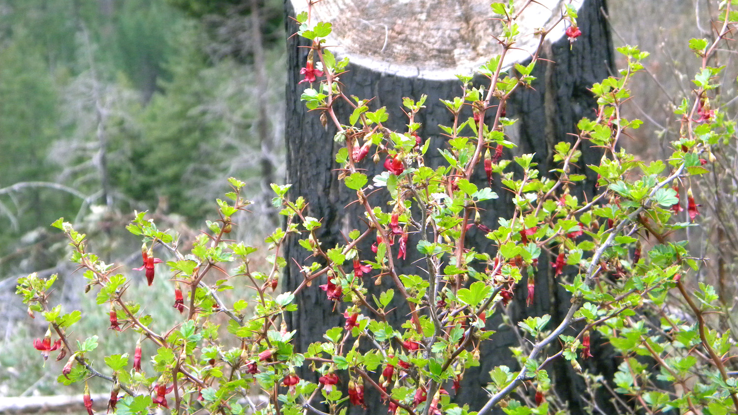
1505_Goosberry |
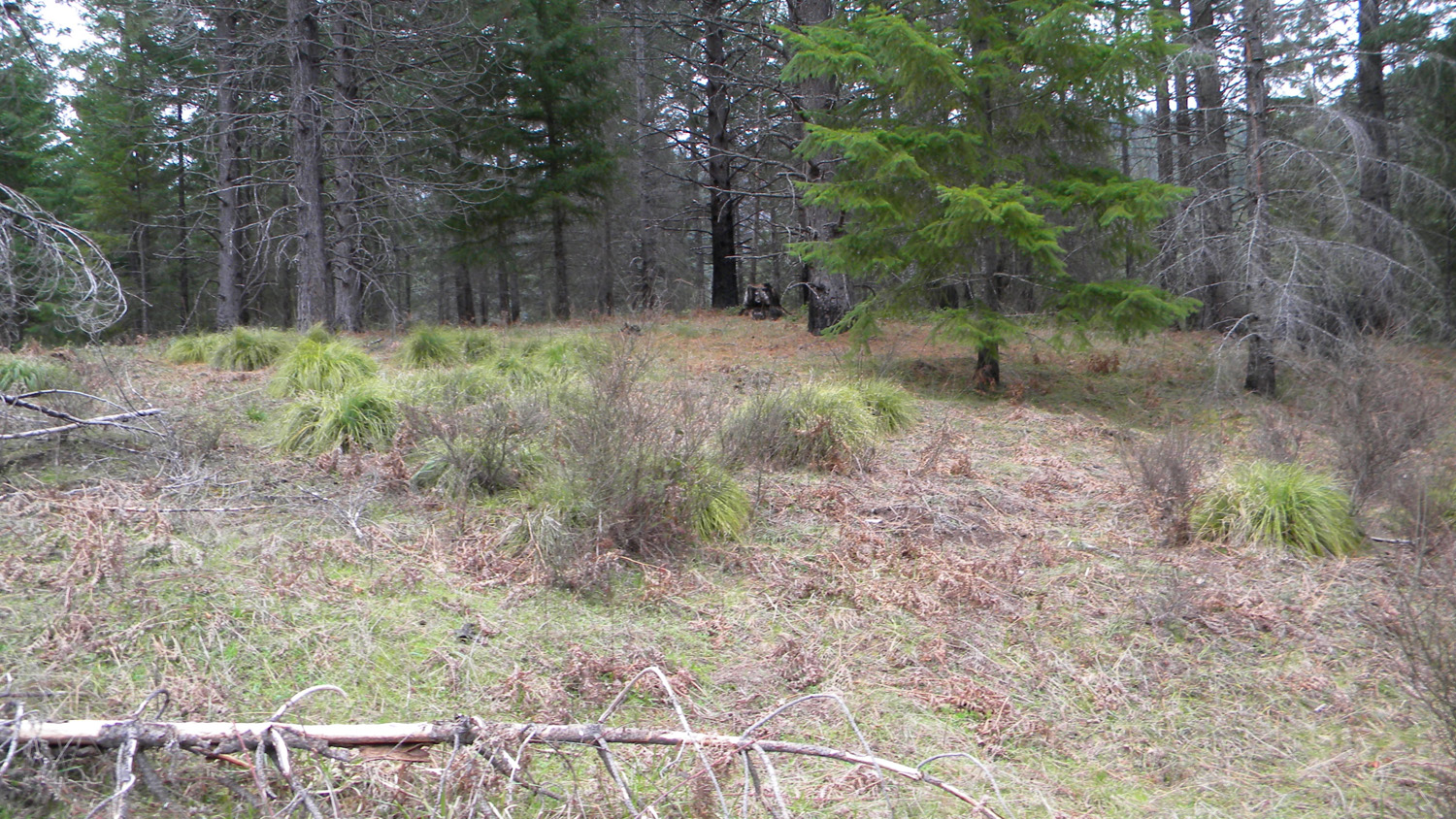
1519_Beargrass |
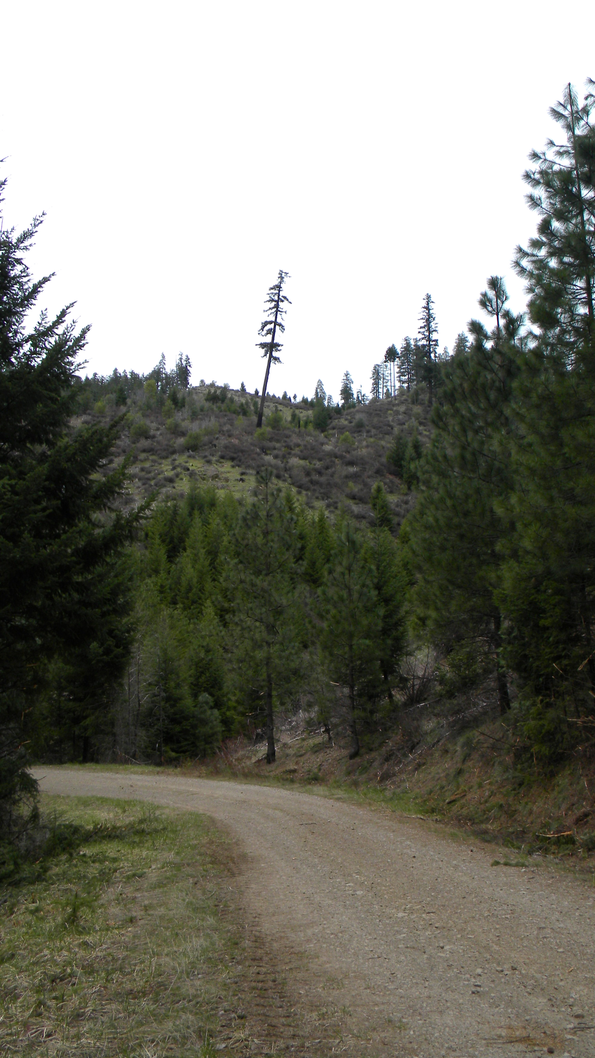
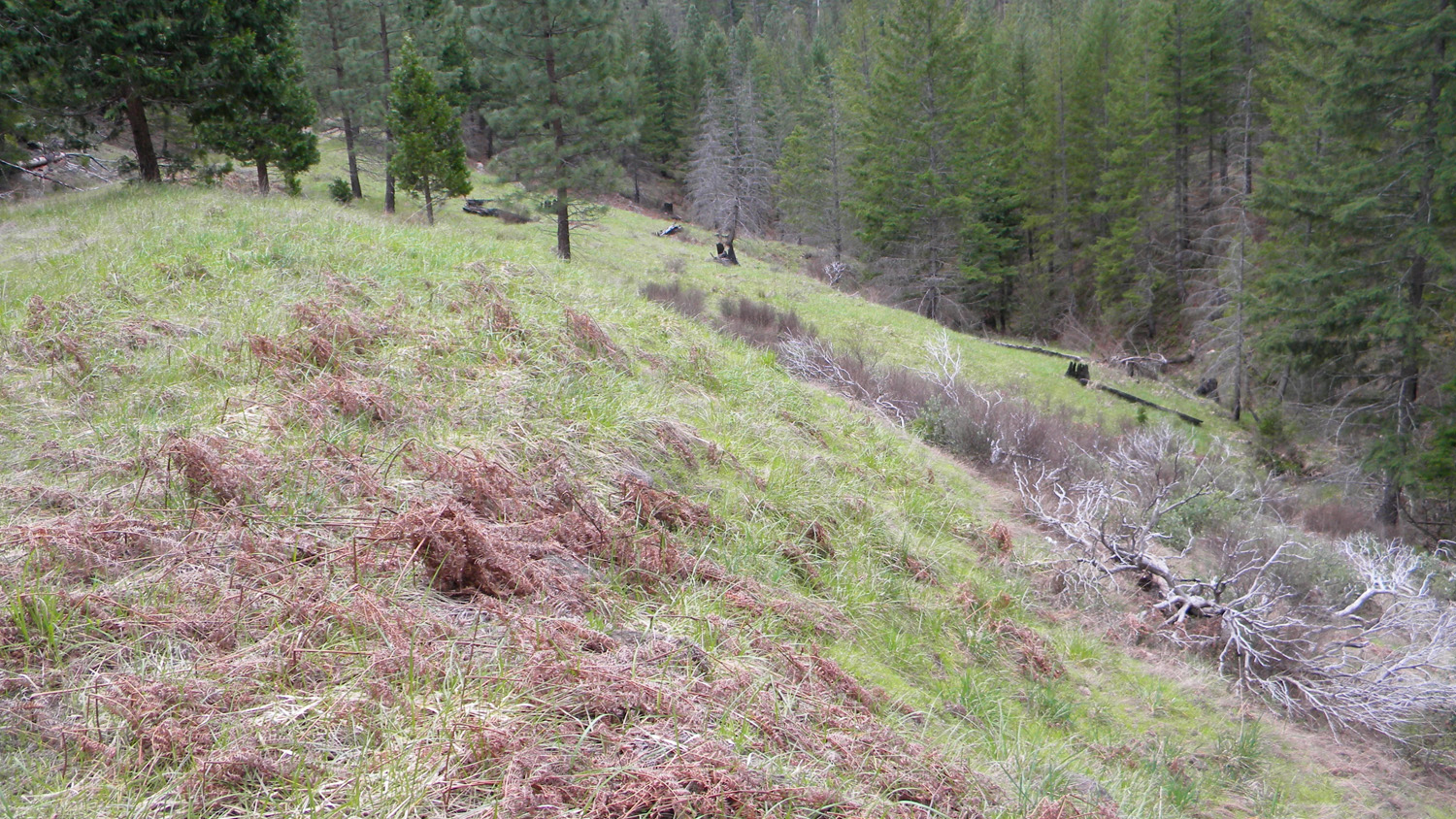
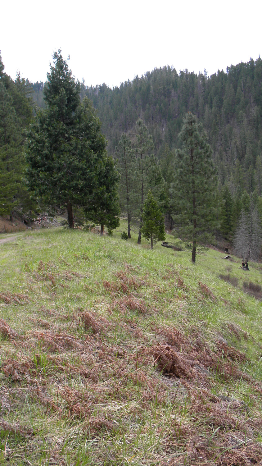
1520_Meadow |
1521_Meadow |
 |
 |
 |
 |
 |
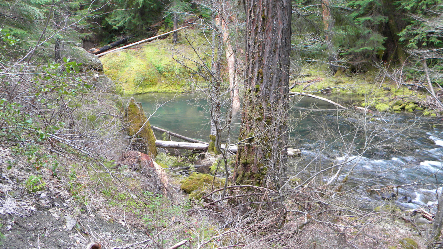
1522_Castle_Rock_Fork |
1523_Hardwood |
1524_Castle_Rock_Fork |
1525_Castle_Rock_Fork |
1526_Castle_Rock_Fork |
 |
 |
 |
||
1527_Castle_Rock_Fork |
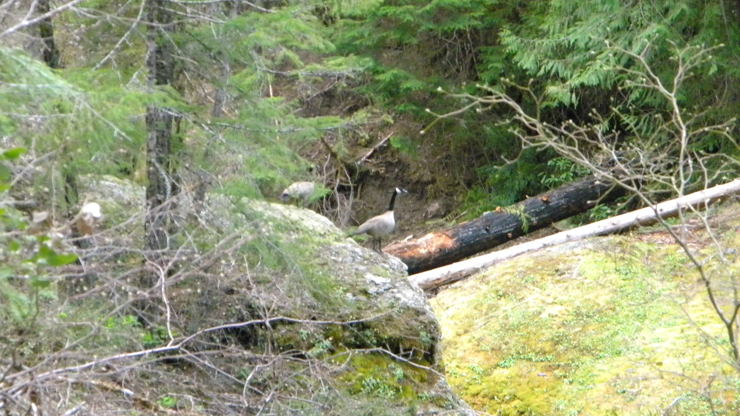
1529_Geese |
1530_Castle_Rock_Fork |
![]()
© 2010, 2020 Oregon Websites & Watersheds Project, Inc. & NW Maps Co.