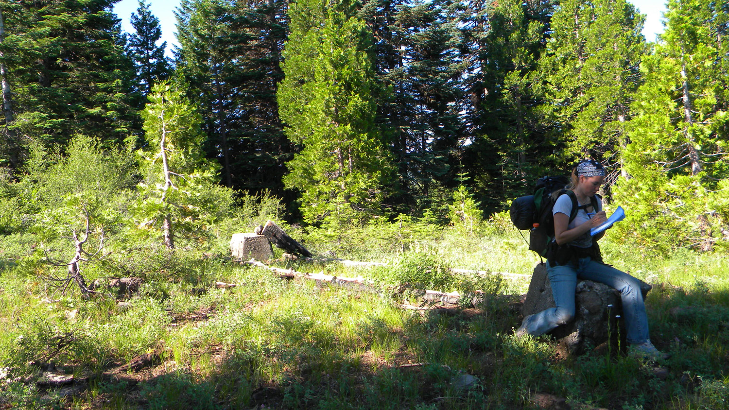
Anderson Camp
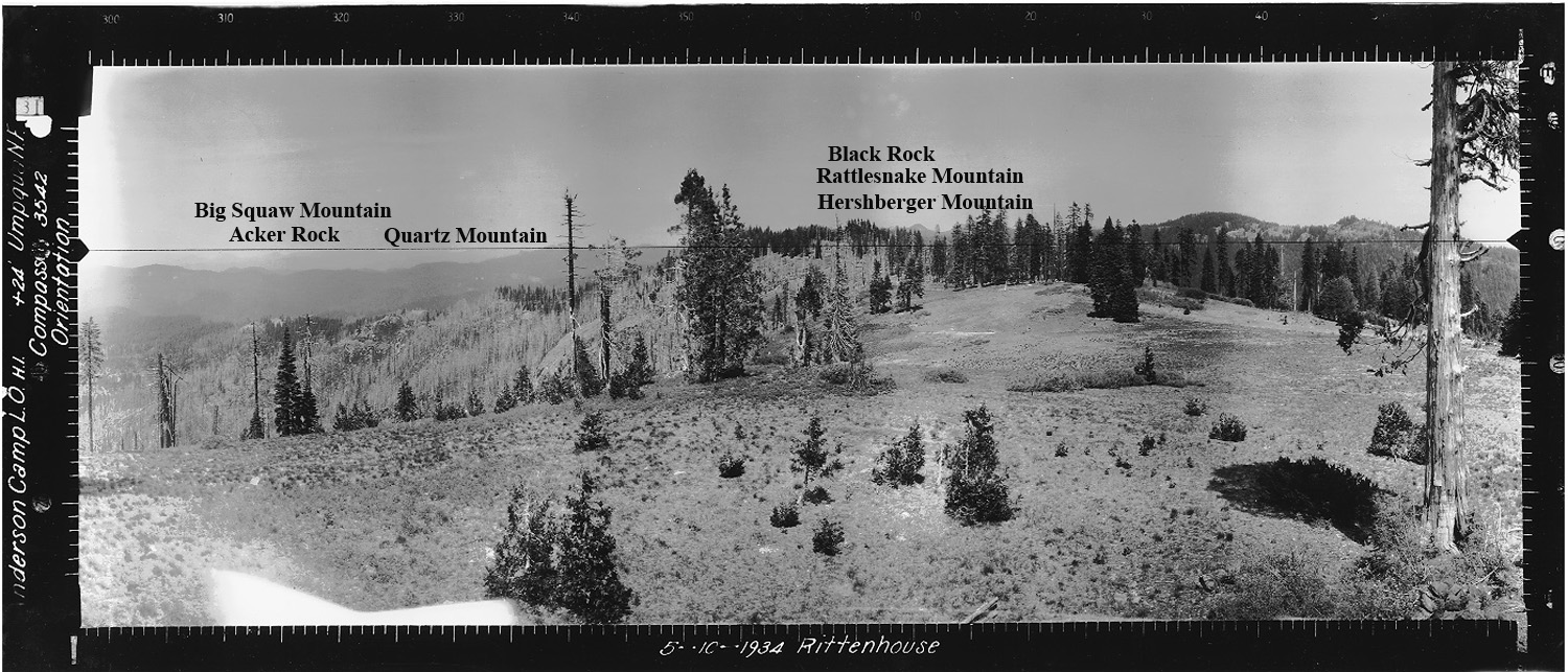
North view, Anderson Camp Fire Lookout, Douglas County, Oregon, May 10, 1934 (Rittenhouse).
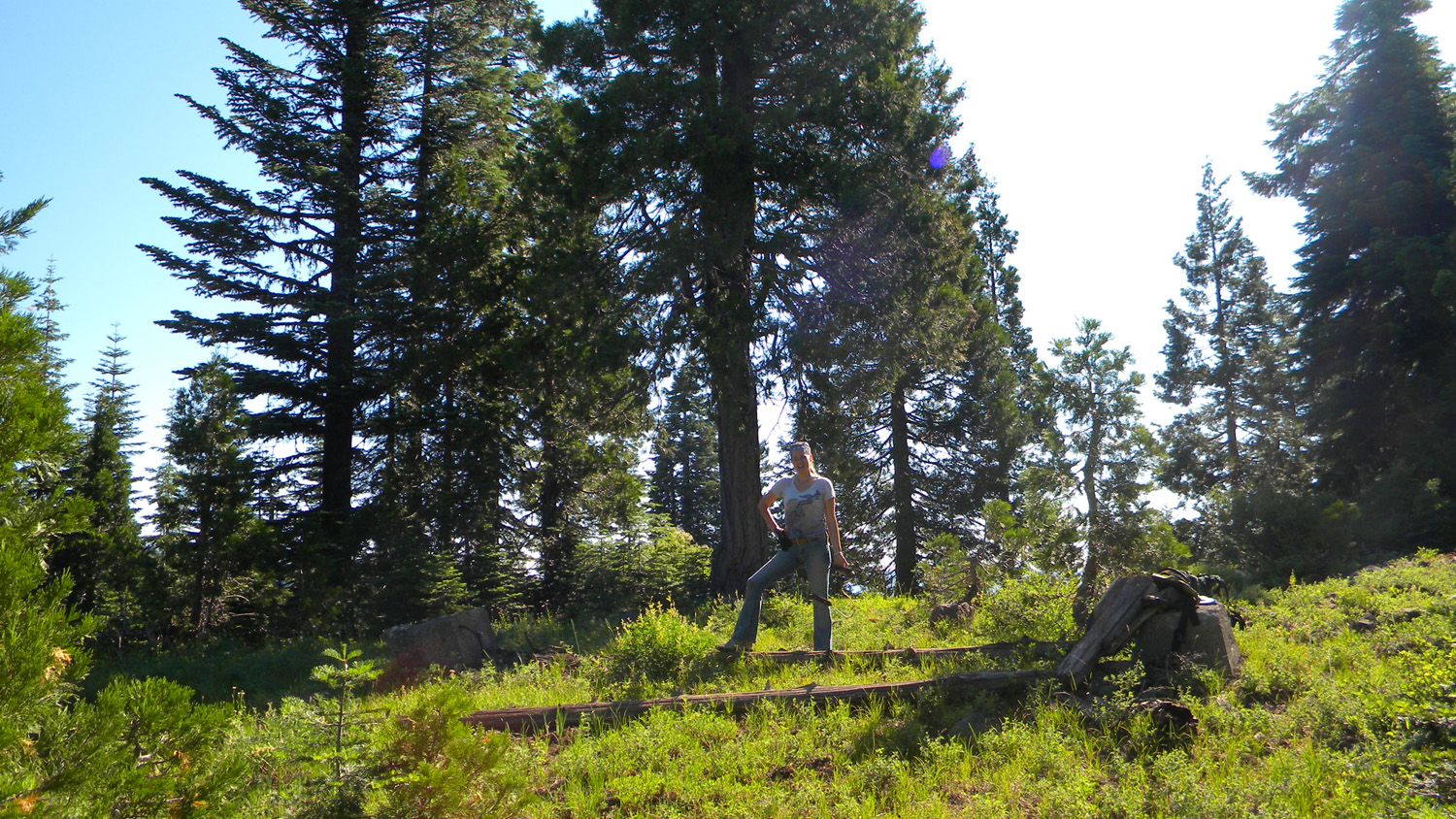
Anderson Camp Lookout was located in Section 9, Tsp. 30 S., Rng. 3 E., 5,469 feet elevation in the Jackson Creek subbasin of the South Umpqua River in Douglas County, Oregon. Kemnow Online History.
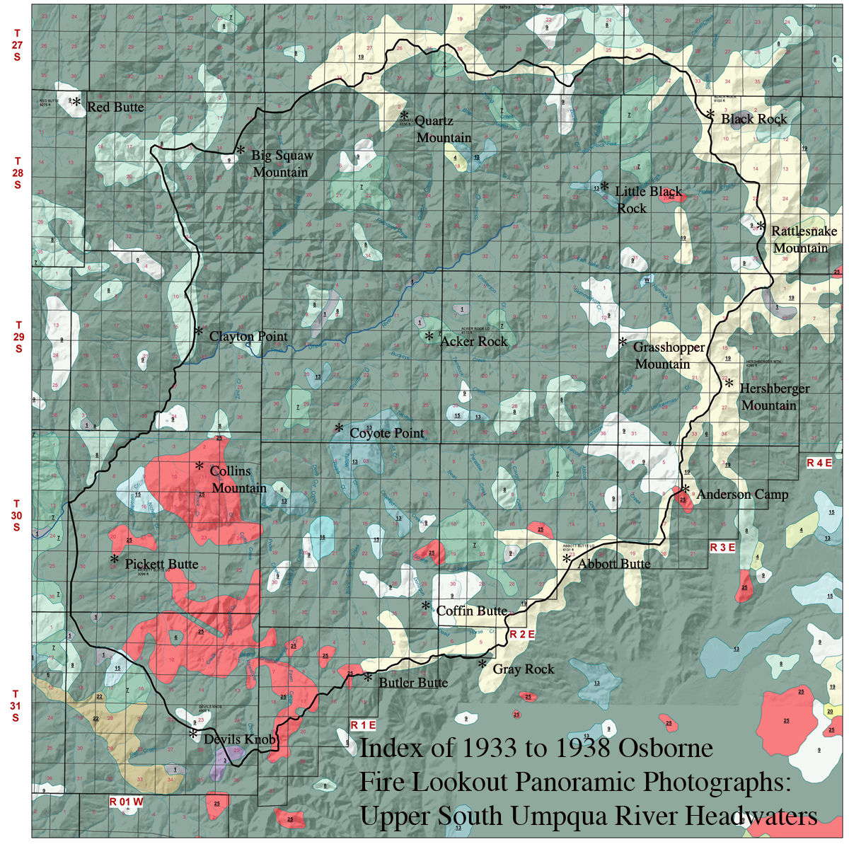
This page includes specific maps
and aerial photographs of Anderson Camp, panoramas
and QTVR video files constructed from the
2010 field research studies, and individual historical
and 2010 documentary photographs showing current
condtions, native plants and animals, and other points of interest related
to this study area.
Panoramas and QTVRs Anderson Camp Rittenhouse May 10, 1934 West 180° - 300° North 300° - 60° East 60° - 180° © 2006-2011, 2020 Oregon Websites and Watershed, Inc. & NW Maps Co.
![]()
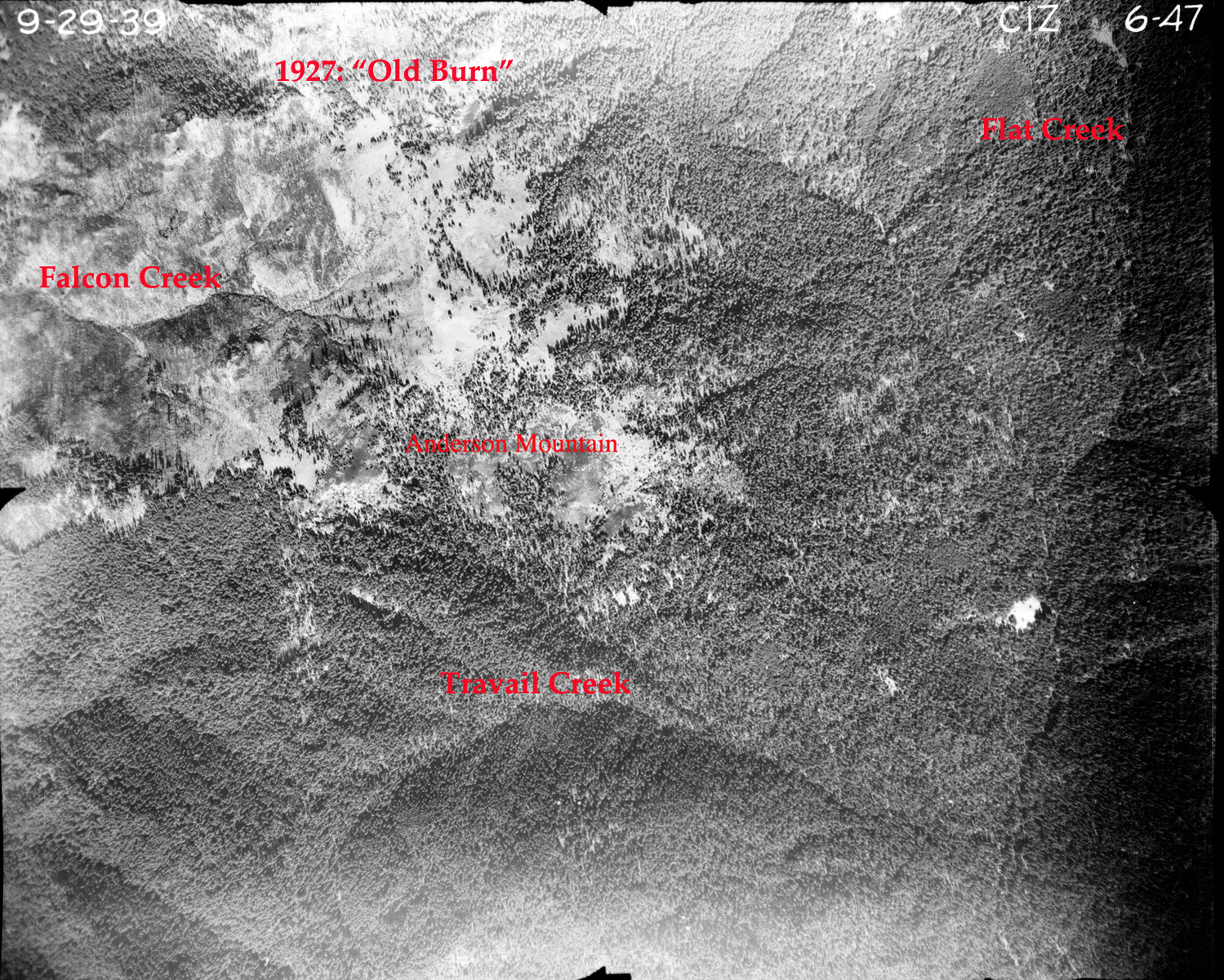
06-47_Anderson_Camp

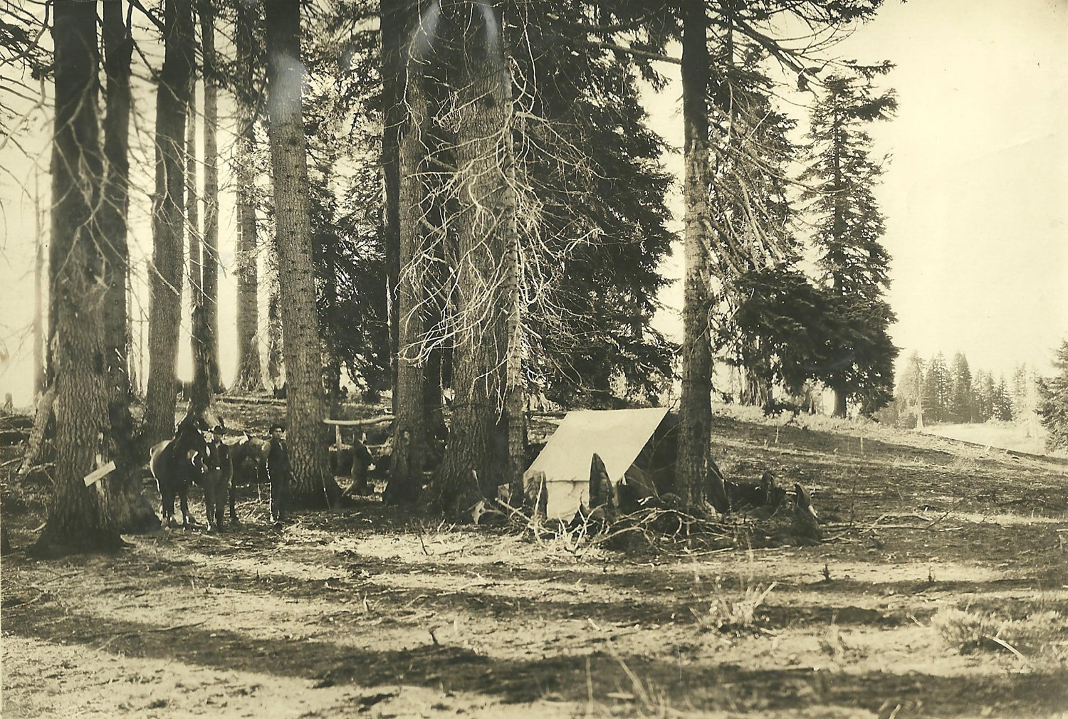
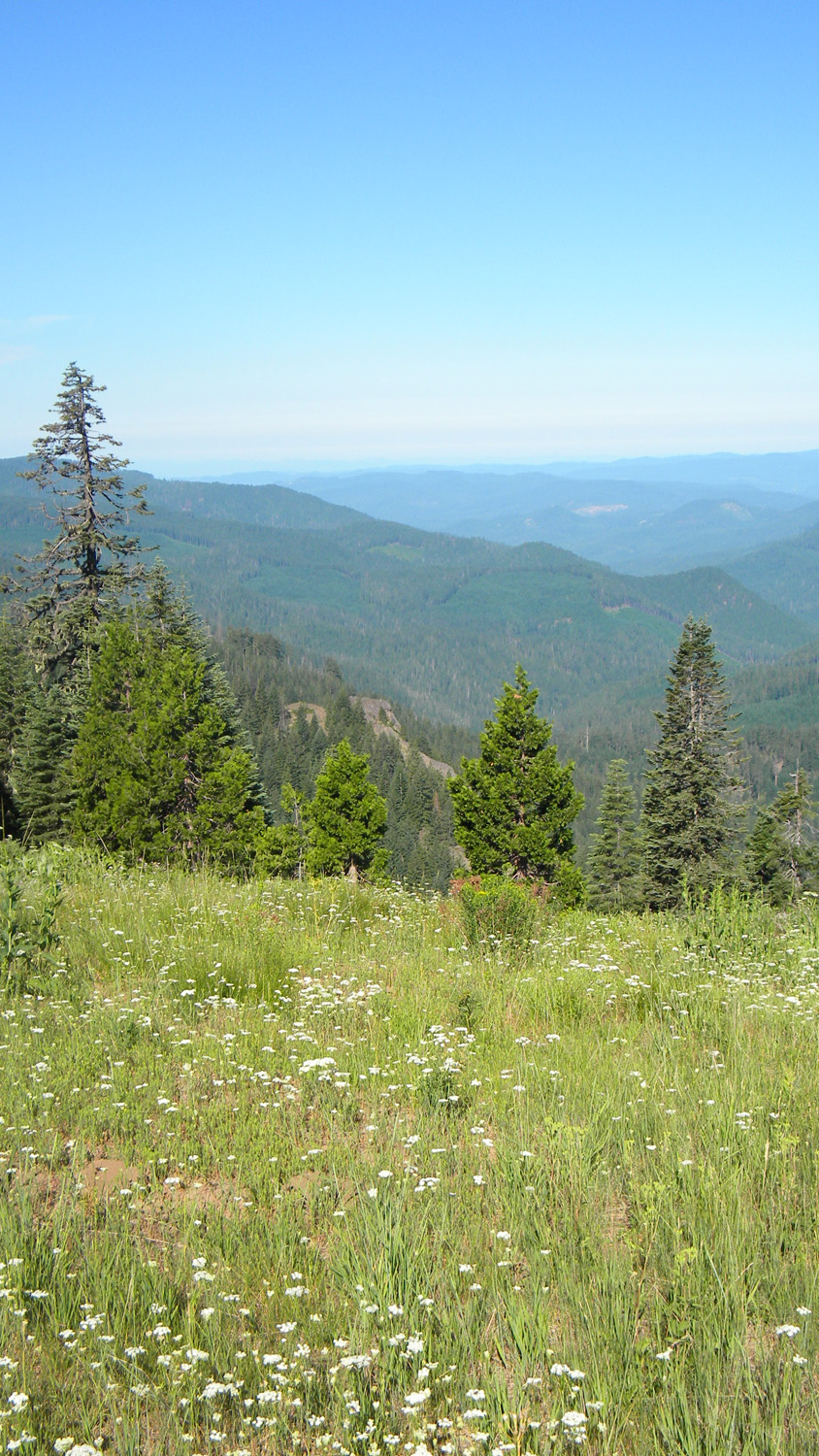
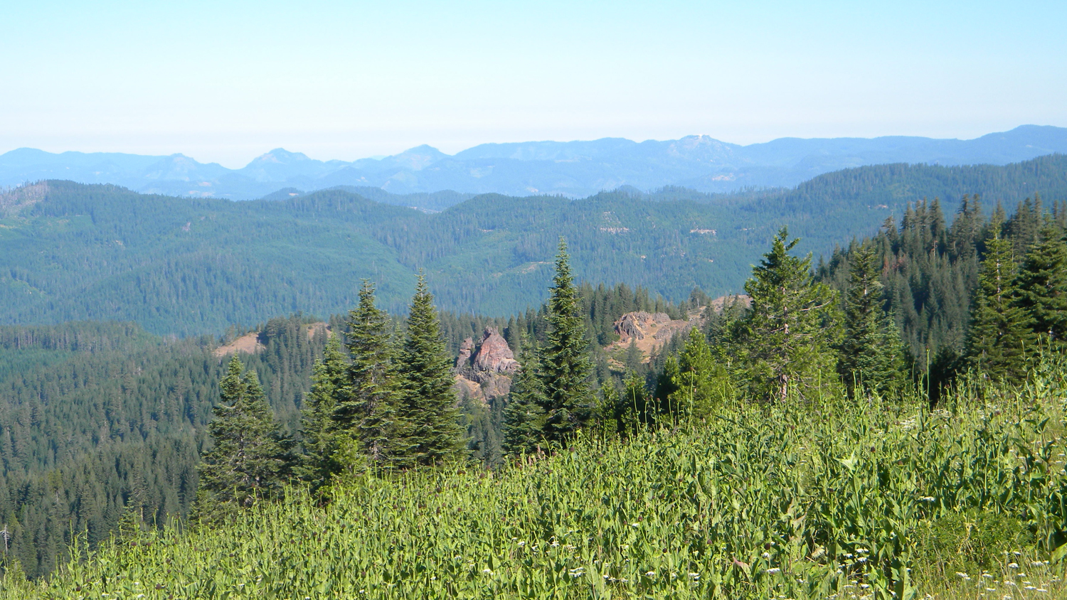
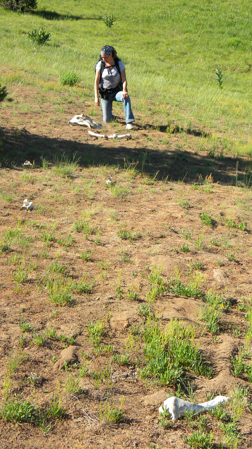

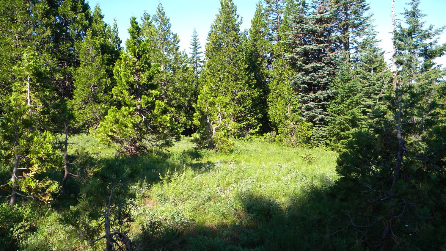
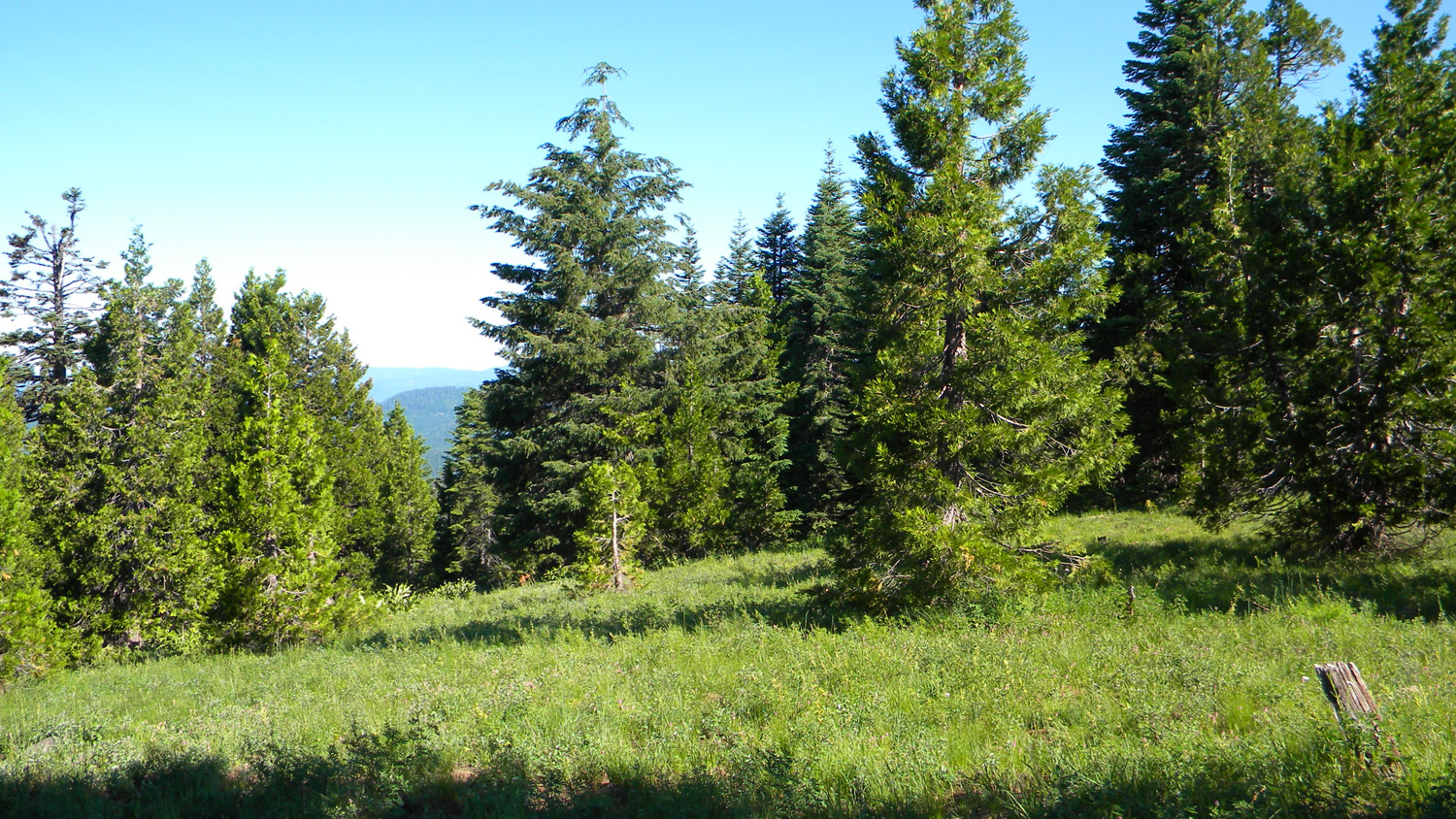
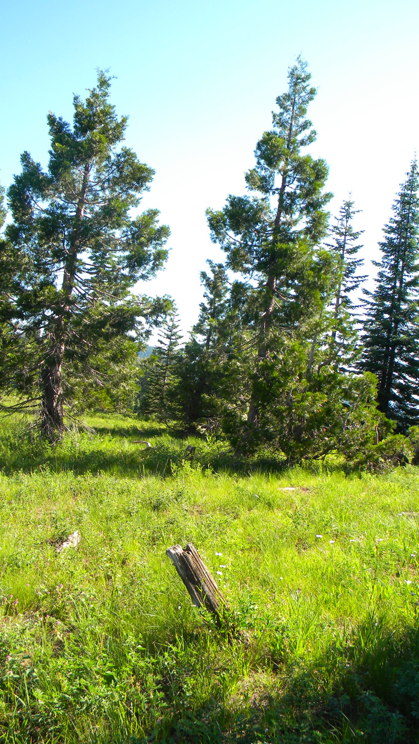
Anderson Camp, n.d.5570_Anderson_Mountain_View5571_Anderson_Mountain_View5572_Elk_Bones5573_Elk_Pelvis
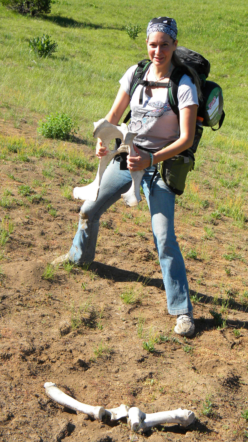
5574_Elk_Pelvis5575_Anderson_Camp_Lookout
5576_Anderson_Mountain
5577_Anderson_Mountain5578_Anderson_Mountain
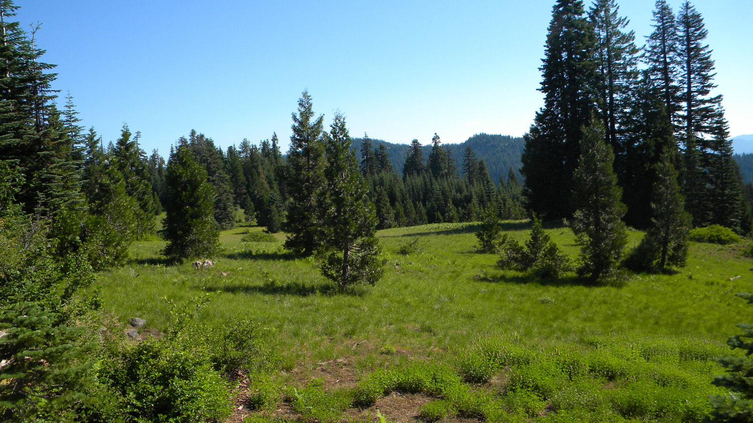
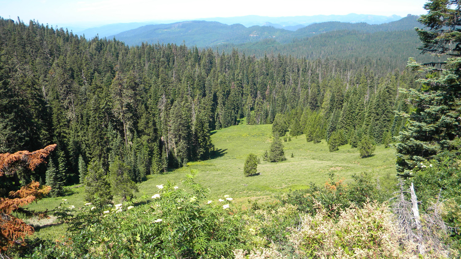
5579_Anderson_Mountain5580_Anderson_Mountain5581_Anderson_Meadow
![]()