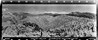
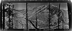
Linn County
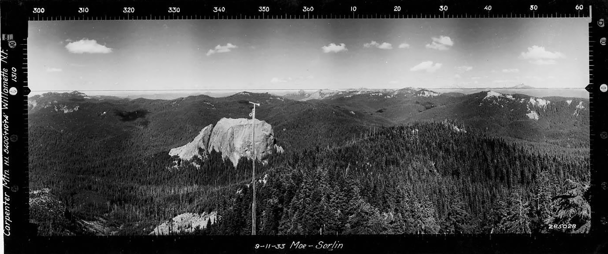
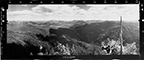
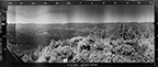
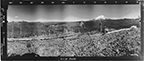
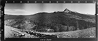
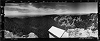
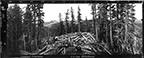
North View toward Wolf Rock, Carpenter Mountain Lookout, Linn County (Moe & Sarlin, September 11, 1933).
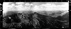
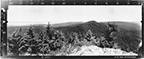
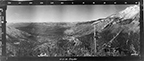
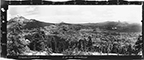
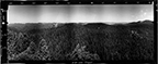
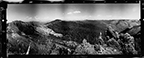
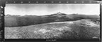
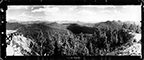
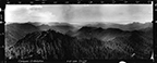
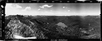
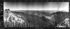
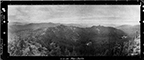
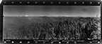
Several Linn County fire lookouts and related 1934-1937 Osborne photographs were profiled in the ORWW 2007 Owl Ridge Trails Report, sponsored by Confederated Tribes of Grand Ronde and by Phoenix Reforestation, Inc. These photographs were further correlated with historical 1944-1981 aerial photographs, documenting landscape-scale forest management activities for the 1930 to 1980 time period.

| ICON | LOOKOUT | START | STOP | TSP | RNG | SEC | ELEV. |
|---|---|---|---|---|---|---|---|
 |
Bachelor Mountain | 1931 | 1967 | 11 S. | 06 E. | 12 | 5,953 |
 |
Bald Peter | 1912 | 1937 | 12 S. | 02 E. | 28 | 4,079 |
|
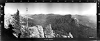
Carpenter Mountain | 1914 | 15 S. | 06 E. | 7 | 5,400 | |
 |
Chimney Peak | 1914 | 1967 | 12 S. | 05 E. | 8 | 4,965 |
 |
Coffin Mountain | 1906 | 11 S. | 06 E. | 14 | 5,770 | |
| MISSING | Crescent Mountain | 1908 | 1953 | 13 S. | 06 E. | 16 | 5,750 |
 |
Green Peter | 1912 | 12 S. | 02 E. | 32 | 3,977 | |
 |
Grizzly Peak | 1931 | 1965 | 11 S. | 07.5 E. | 1 | 5,799 |
 |
High Deck | 1907 | 1972 | 13 S. | 03 E. | 16 | 3,566 |
 |
Iron Mountain | 1929 | 2007 | 13 S. | 05 E. | 36 | 5,455 |
 |
Jumpoff Joe Mountain | 1935 | 1965 | 14 S. | 05 E. | 11 | 4,285 |
 |
Kinney Ridge | 1930 | 1960 | 10 S. | 05 E. | 20 | 2,320 |
 |
Marion Mountain | 1934 | 1965 | 12 S. | 07.5 E. | 3 | 5,351 |
 |
Maxwell Butte | 1916 | 1965 | 13 S. | 07.5 E. | 9 | 6,229 |
 |
Minniece Peak | 1931 | 1966 | 11 S. | 05 E. | 19 | 4,432 |
 |
Monument Peak | 1914 | 1973 | 10 S. | 04 E. | 21 | 4,713 |
 |
Red Butte | 1930 | 12 S. | 07.5 E. | 23 | 5,843 | |
 |
Rooster Rock | 1927 | 1963 | 13 S. | 04 E. | 22 | 3,567 |
 |
Sand Mountain | 1926 | 14 S. | 07 E. | 1 | 5,459 | |
 |
Scar Mountain | 1926 | 1965 | 12 S. | 06 E. | 5 | 5,022 |
 |
Slate Rock | 1935 | 1965 | 11 S. | 05 E. | 6 | 4,523 |
 |
Snow Peak | 1912 | 1980 | 11 S. | 02 E. | 4 | 4,298 |
 |
Three Pyramids | 1934 | 1967 | 12 S. | 06 E. | 22 | 5,940 |
 |
Tidbits Mountain | 1912 | 1967 | 15 S. | 04 E. | 10 | 5,184 |
 |
Twin Buttes | 1920 | 1986 | 14 S. | 05 E. | 19 | 5,312 |
 |
Wildcat Mountain | 1934 | 1965 | 14 S. | 06 E. | 21 | 5,353 |
 |
Yellowstone Mountain | 1913 | 1970 | 11 S. | 03 E. | 32 | 4,319 |
© 2007-2020, Oregon Websites and Watersheds Project, Inc. & NW Maps Co.