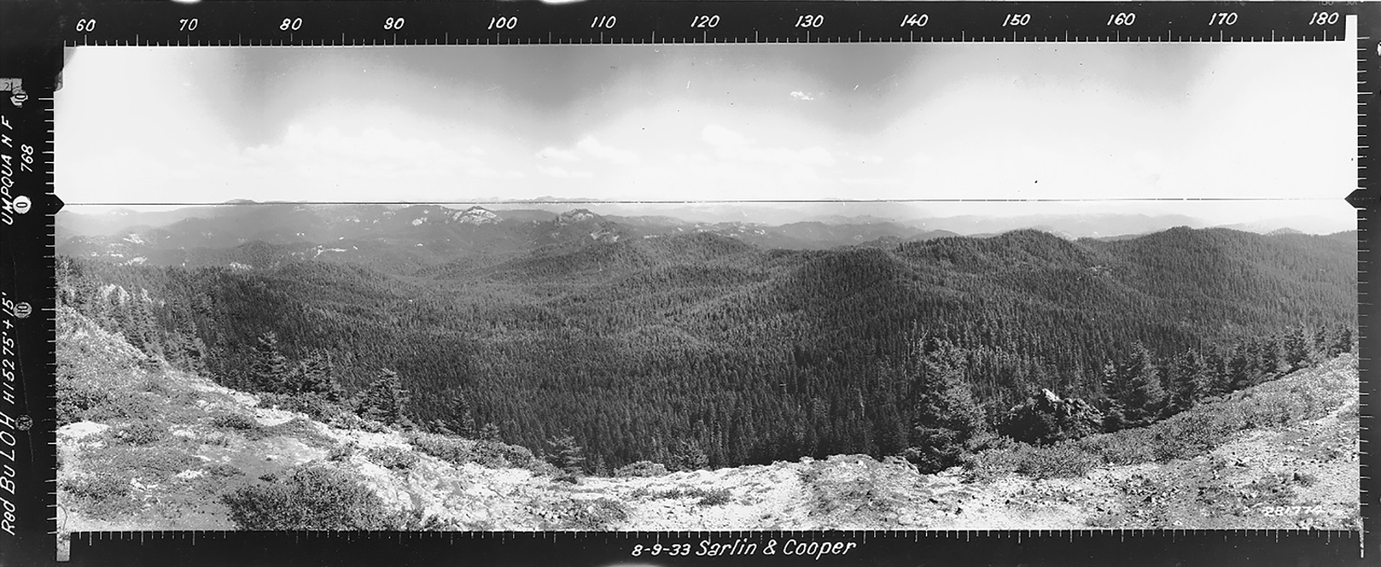
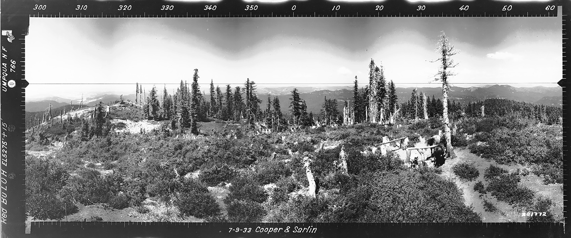
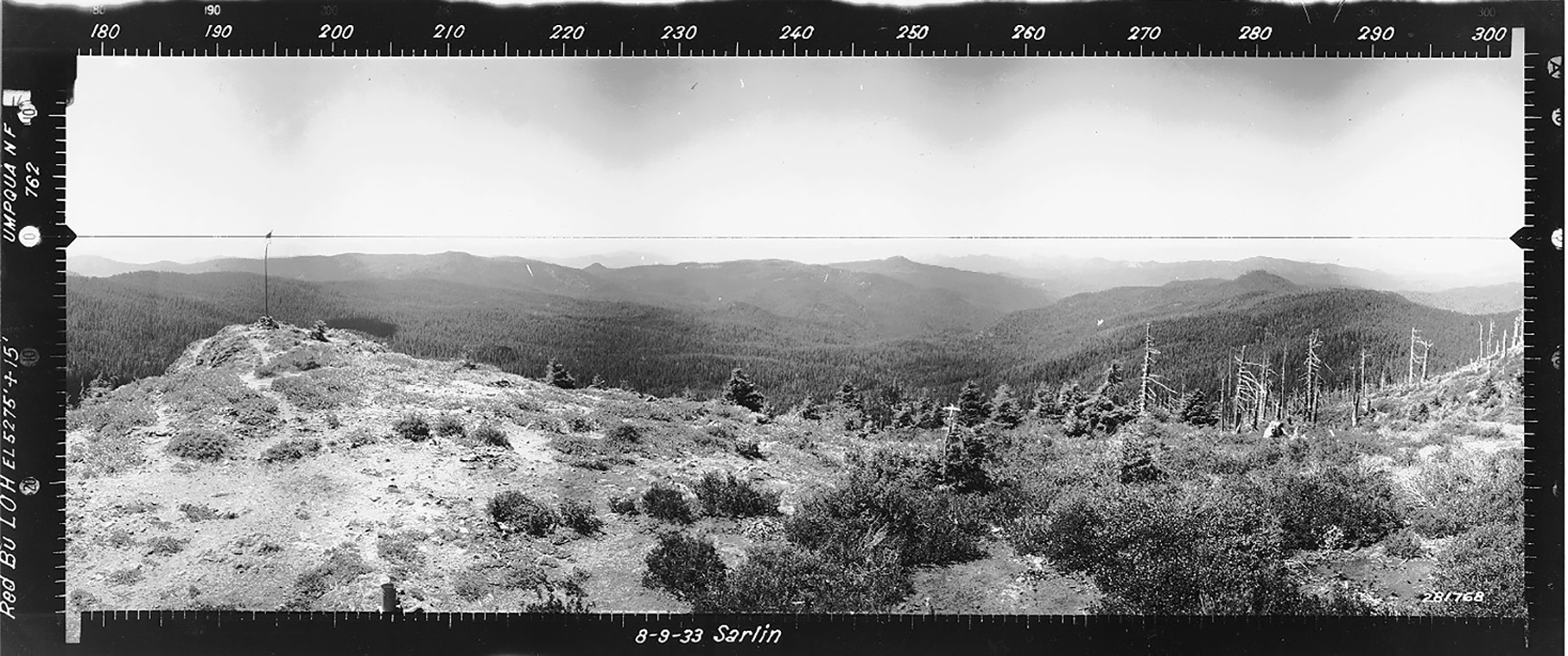
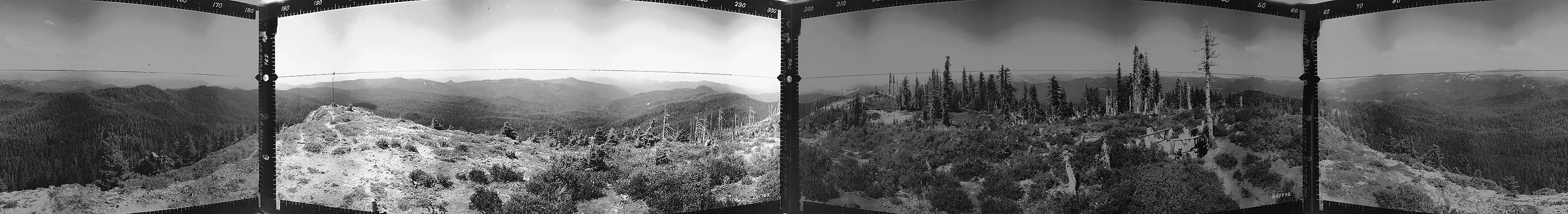
Red Butte
View east, Red Butte, Norh Umpqua River, Douglas County, Oregon, August 9, 1933 (Sarlin & Cooper).
Red Butte Lookout Tower is located in Section 1, Tsp. 28 S., Rng. 2 W., elevation 5, 275 feet, to the northwest of the South Umpqua River in Douglas County, Oregon. Kenmow Online History.
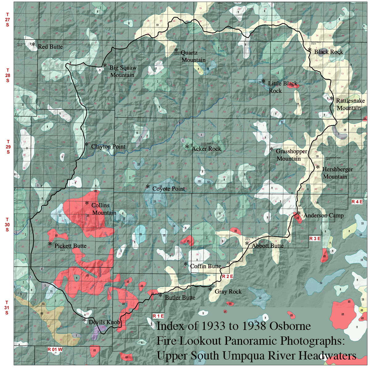
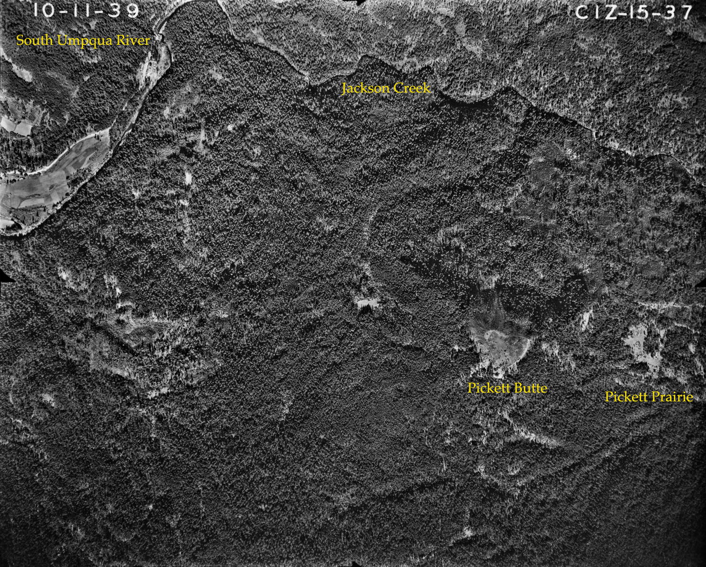
This page includes specific maps and aerial photographs of Pickett Butte, panoramas and QTVR video files constructed from the 2010 field research studies, and individual historical and 2010 documentary photographs showing current condtions, native plants and animals, and other points of interest related to this study area.
Panoramas and QTVRs
Red Butte Unknown Photographer(s) August 7, 1936 |
NW - N - NE 300° - 60°
|
 |
|
E - SE - S 60° - 180° Big Squaw Mountain
|
|
|
|
SW - W - NW 180° - 300°
|
 |