Mount Thielsen Lookout
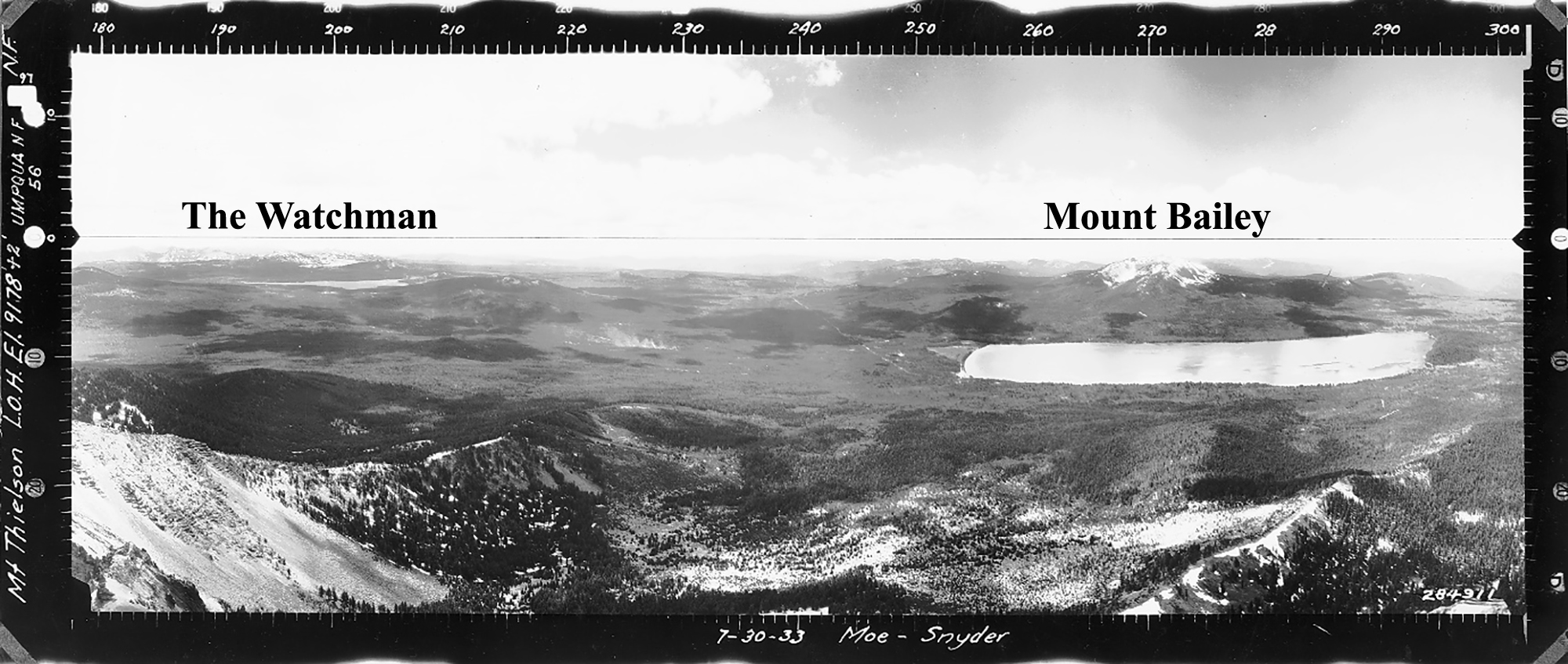
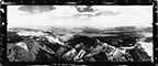
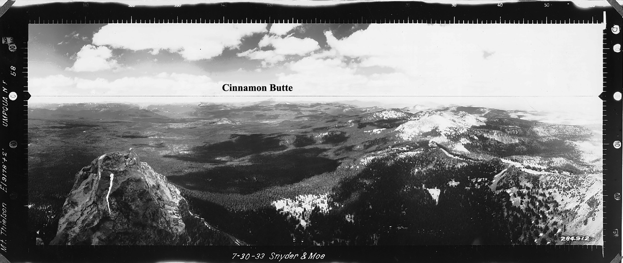
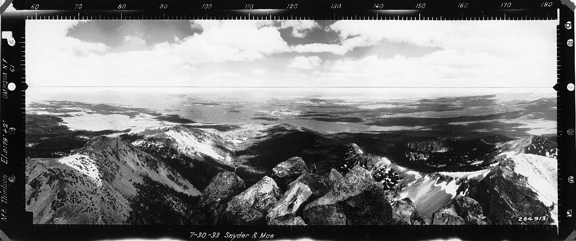
View West, Mount Thielsen Lookout, Douglas County (Moe & Snyder, July 30, 1933).
According to historians, a lookout tower was never established on Mount Thielsen, but Osborne photos were taken from its peak in 1933 at Tsp. 28 S., Rng. 5.5 E., Sec. 13, elevation 9,182 feet. These photographs can be triangulated with The Watchman Lookout, 15.5 miles to the Southwest; Mount Bailey Lookout, 7.8 miles West; and Cinnamon Butte Lookout, 6.5 miles Northwest. Kemnow Online History.
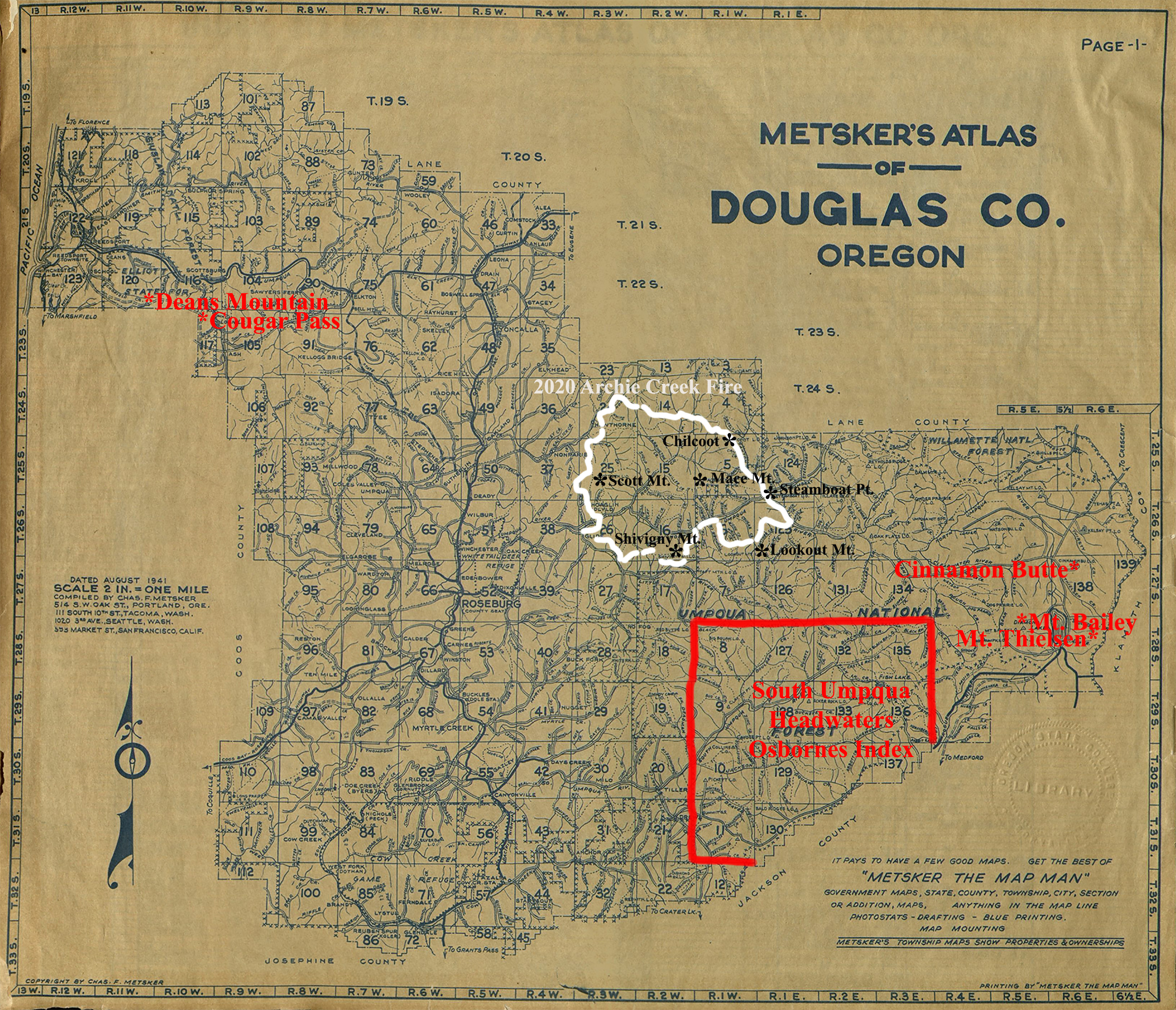
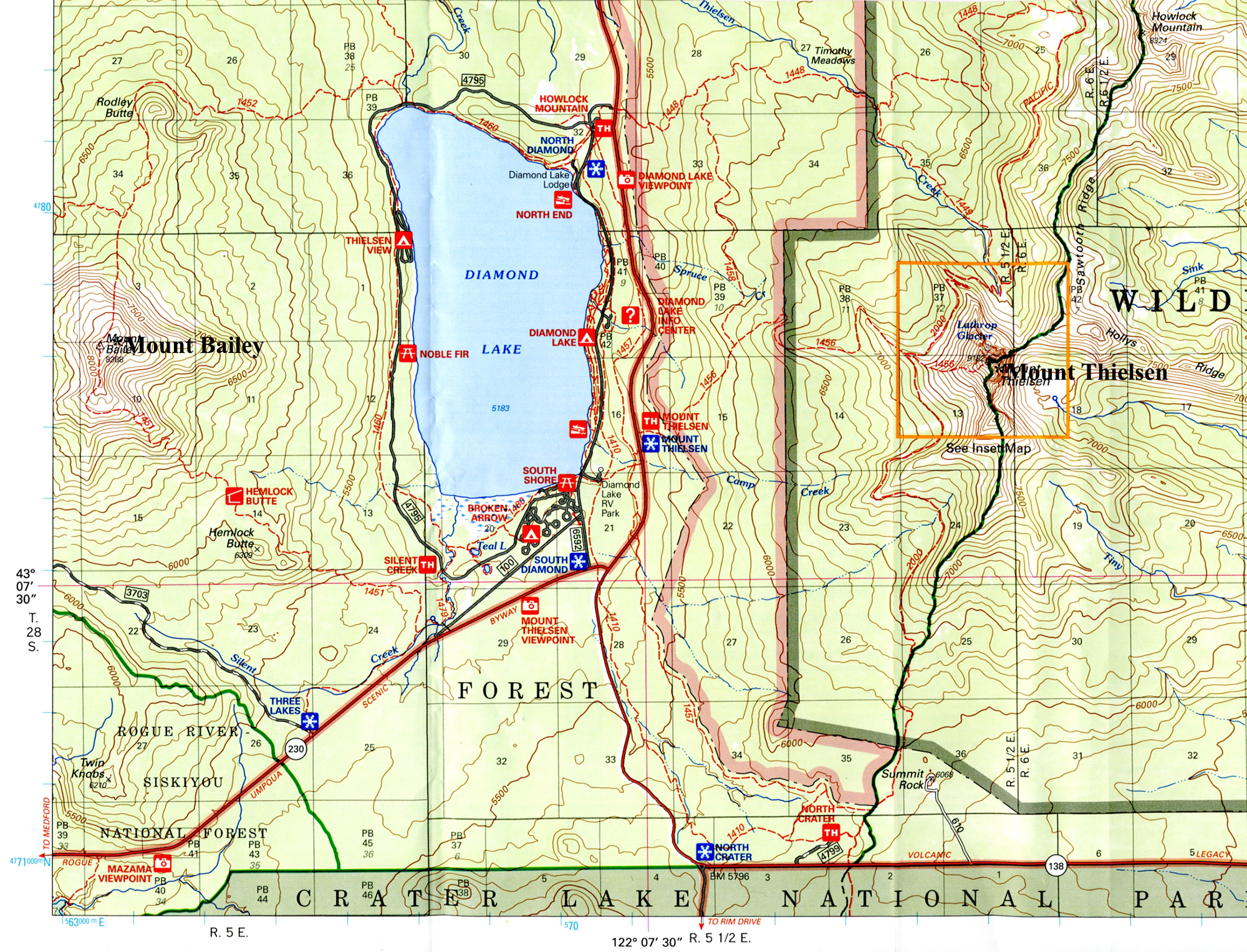
Douglas County Fire Lookouts Index Map, showing Mount Thielsen Lookout in relation to other County lookouts. The map of Diamond Lake shows Mount Bailey Lookout in relation to Mount Thielsen and to the northern boundary of Crater Lake National Park.
© 2006-2020, Oregon Websites and Watersheds Project, Inc. & NW Maps Co.
