
2020 SWOCC F251 Elliott State Forest "Virtual" Roads & Trails Report
MAPS
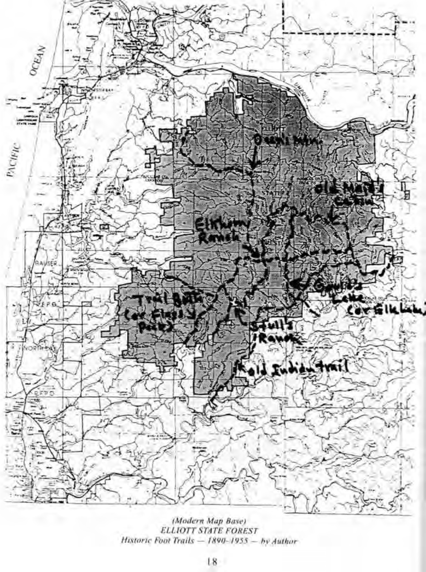
Map 1. Historic Roads & Trails of ythe Elliott Sate Forest. Collaboration by Oregon Websites & Watersheds Project, Inc. (ORWW), Southwestern Oregon Community College (SWOCC, and NW Maps Co. Bob Zybach, Jerry Phillips, and David Gould, February 2020; 1999 Oregon Department of Forestry (ODF) GIS Base Map.
Citation: Quinn Allen, Kevin Ballard, Ethan Howard, Evan Johnson and Regan LaVoie. 2020 SWOCC F251 Elliot State Forest "Virtual" Roads and Trails Report. Oregon Websites & Watersheds Project, Inc., Philomath, Oregon: 35 pp. [PDF: 7 MB].
|
 |
 |
 |
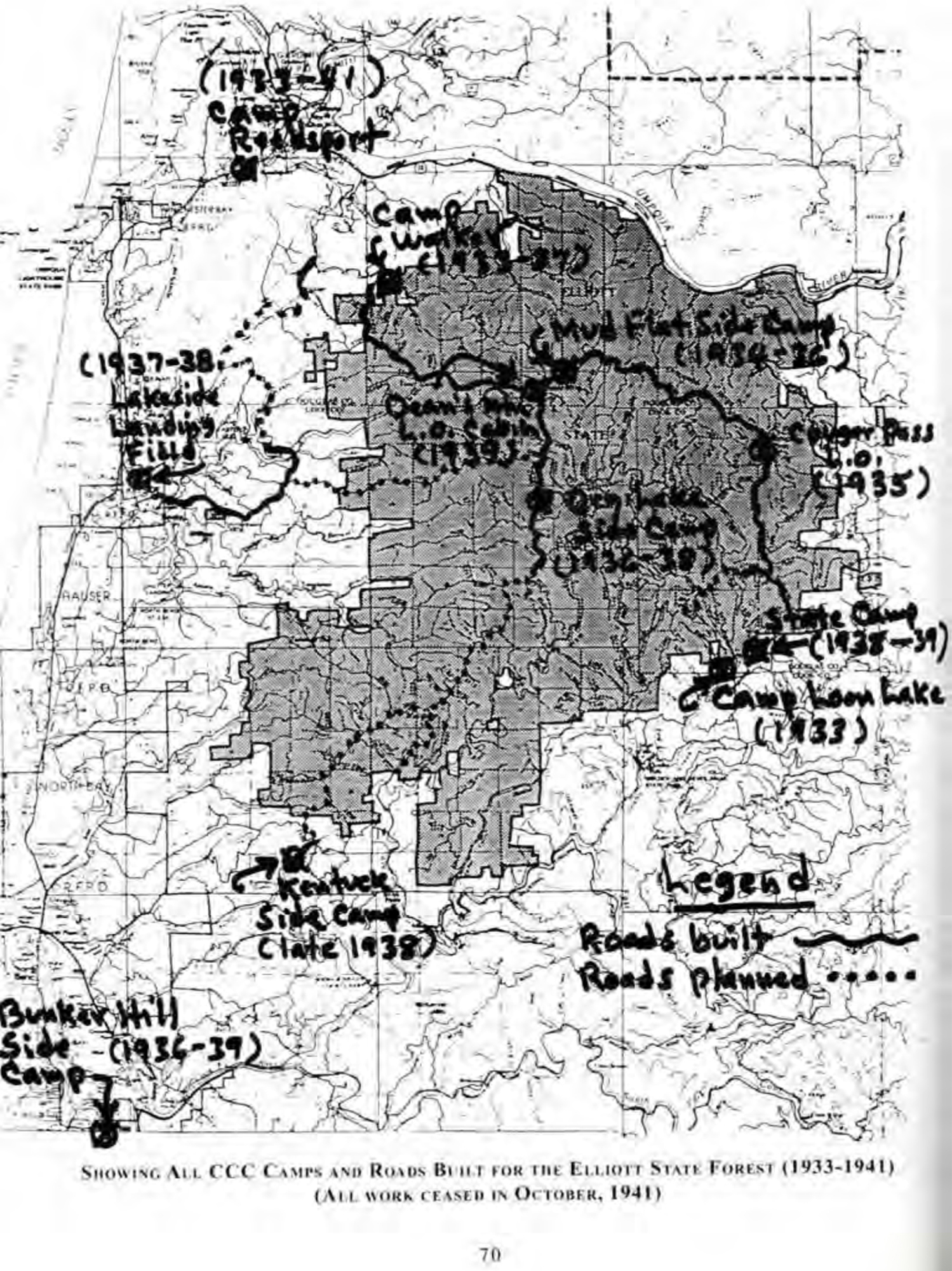 |
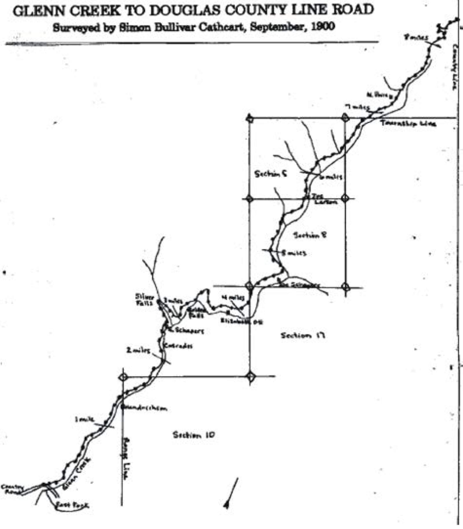
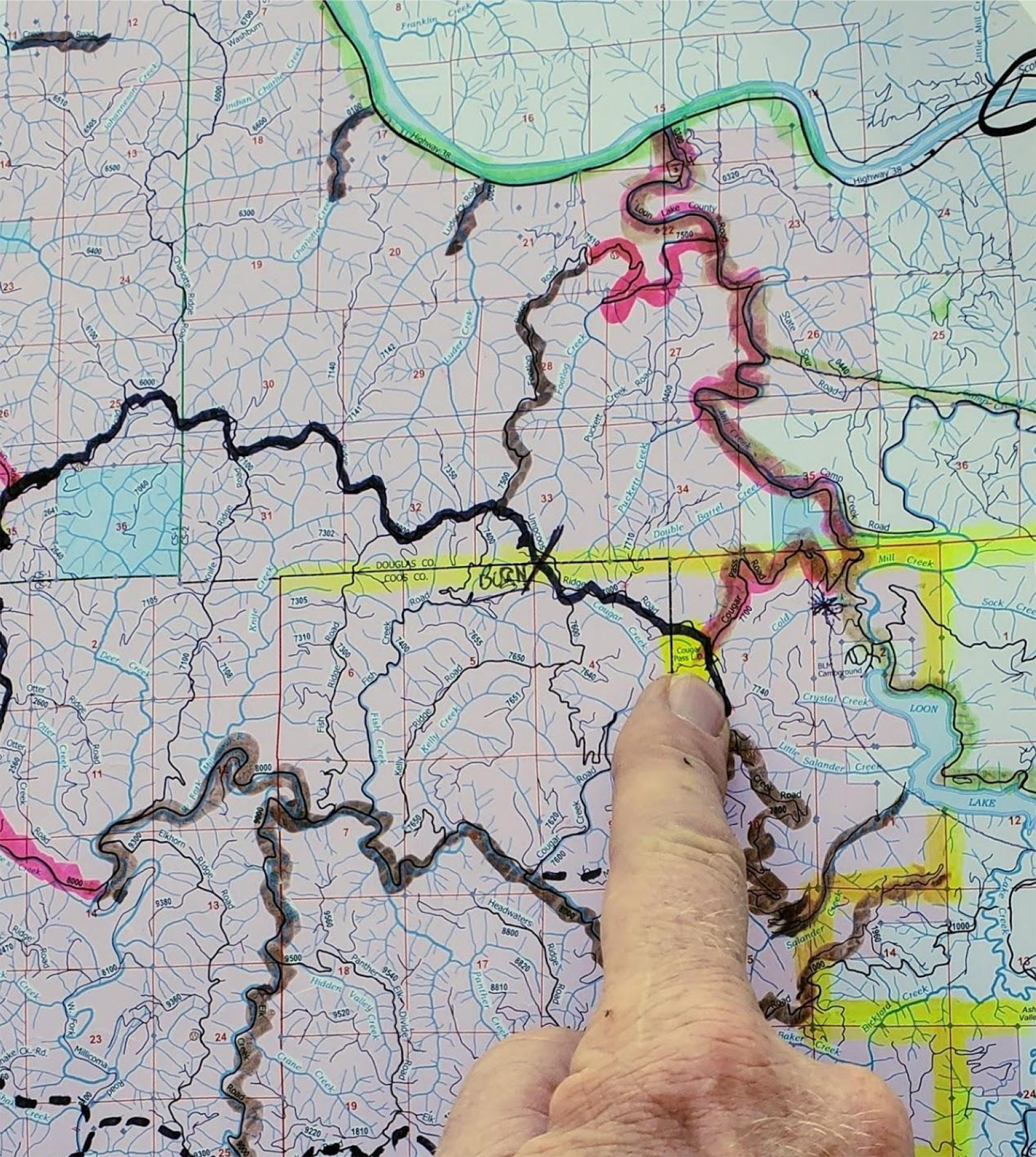
| Map 1. | Map 2. | Map 3. | Map 4. | Map 5. |
 |
 |
 |
||
| Map 6. | 1907 Gould Family Land Claims | Rickard 1982: 207 |
© 2021 Oregon Websites & Watersheds Project, Inc. & NW Maps Co.