
Upper South Umpqua Headwaters Project
Areas of Special Interest
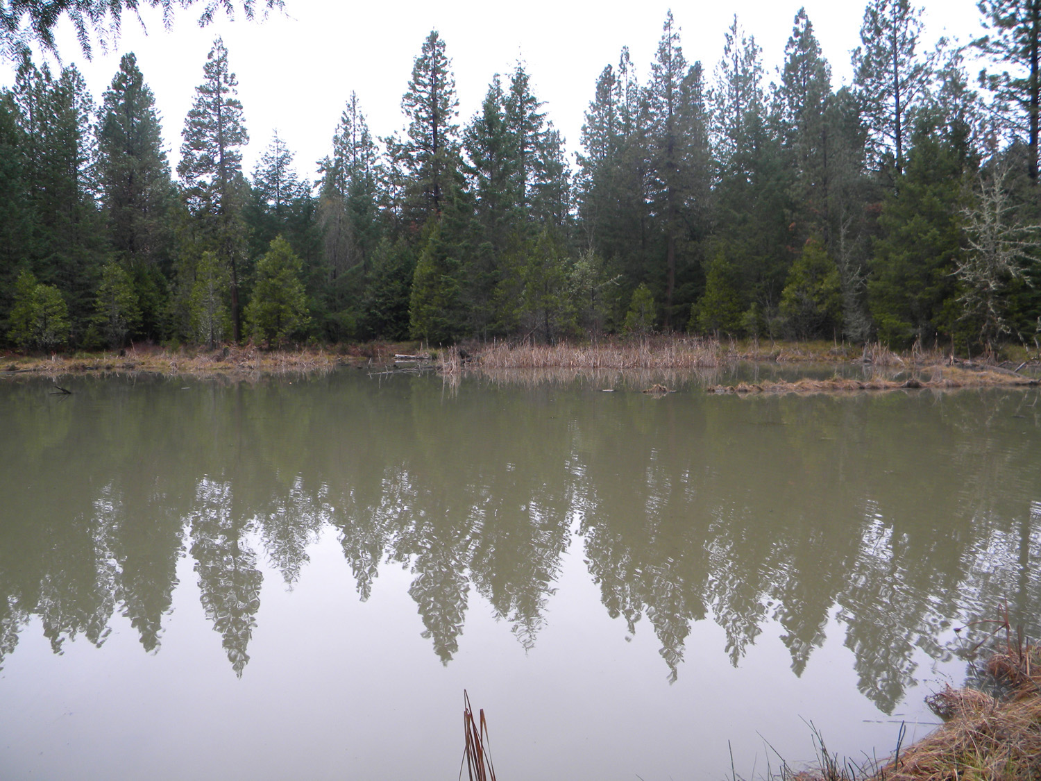
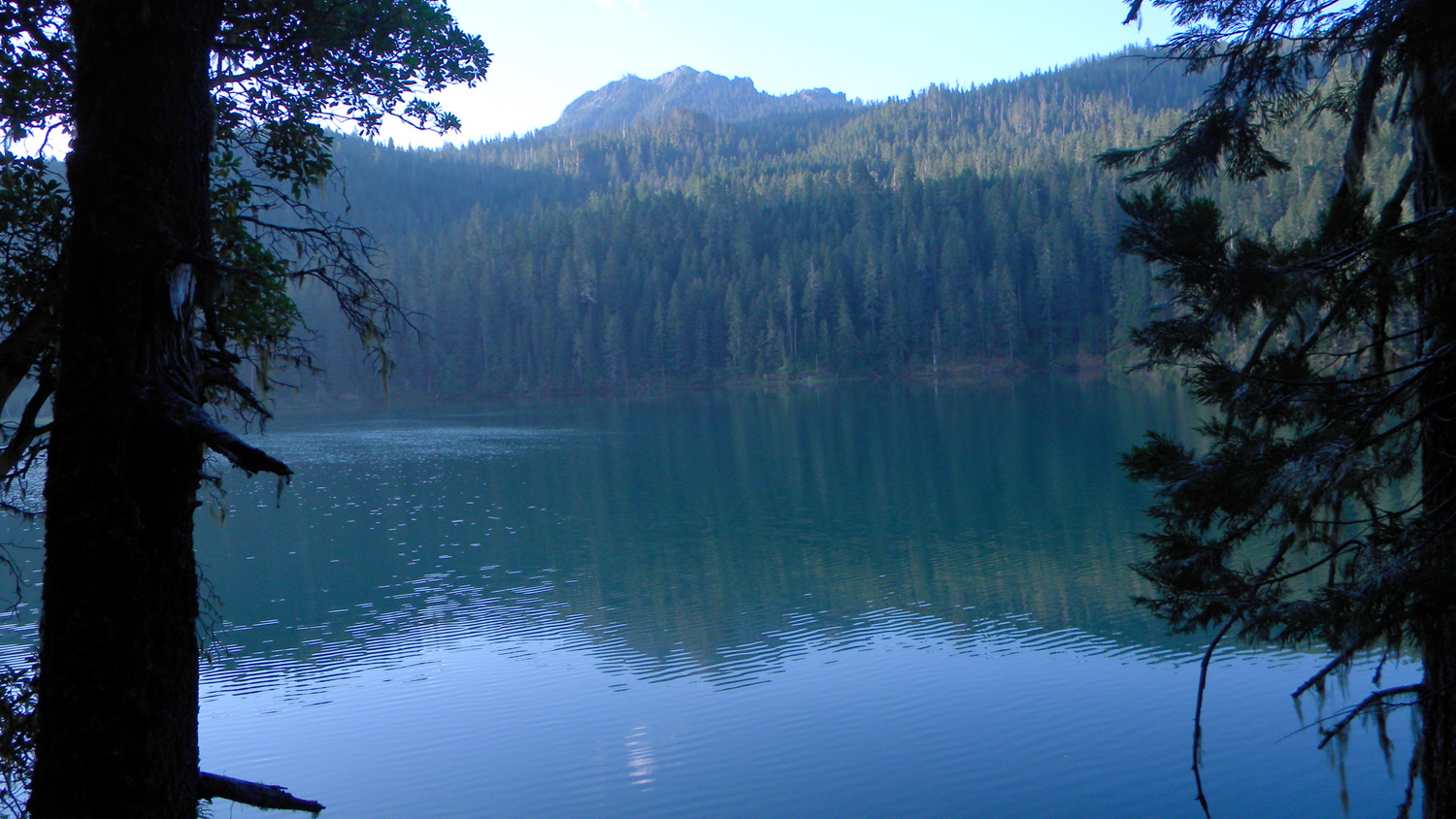
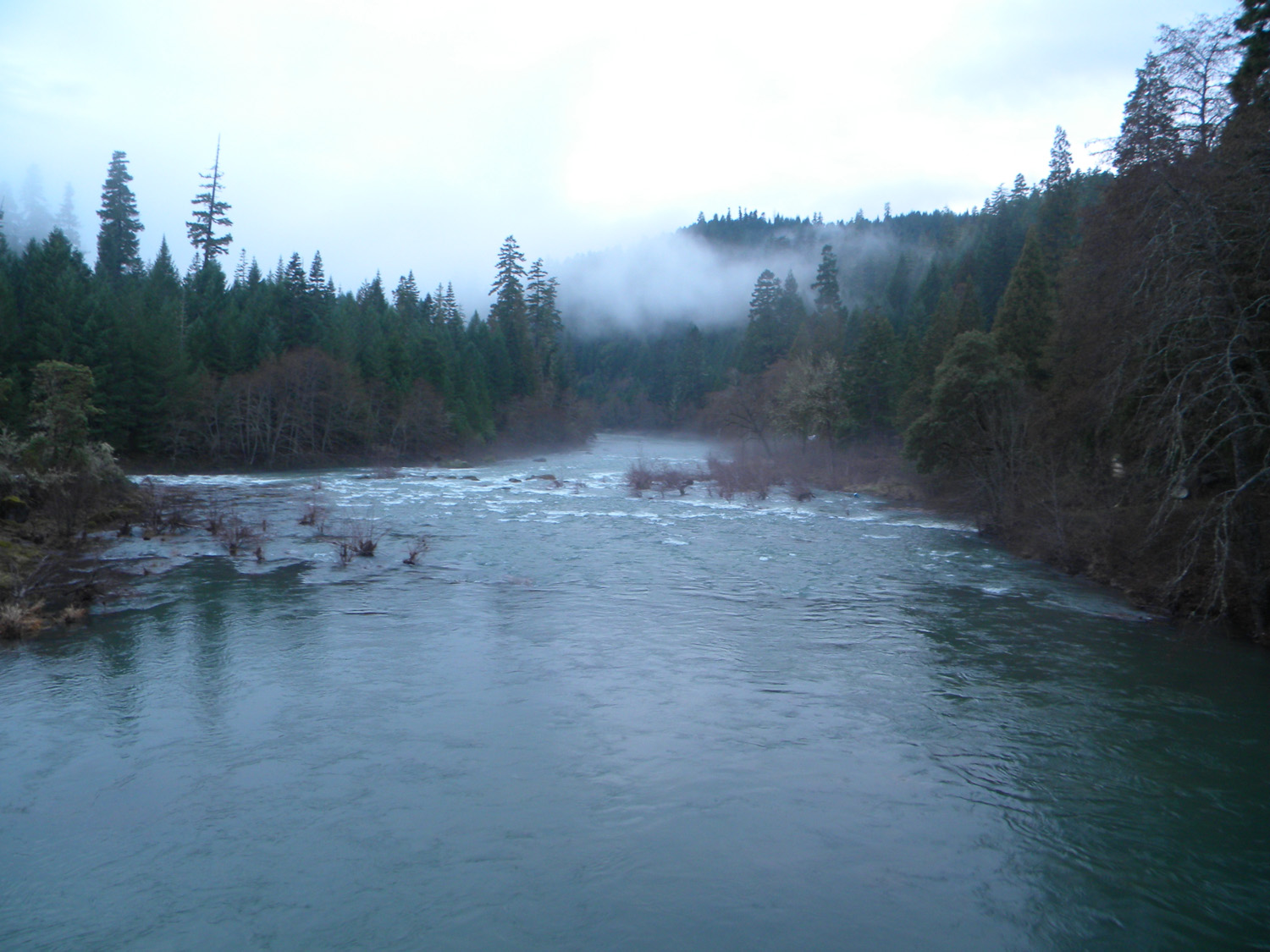
Skookum Pond, evening, South Umpqua River, Douglas County, Oregon, January 10, 2010. (B. Zybach).
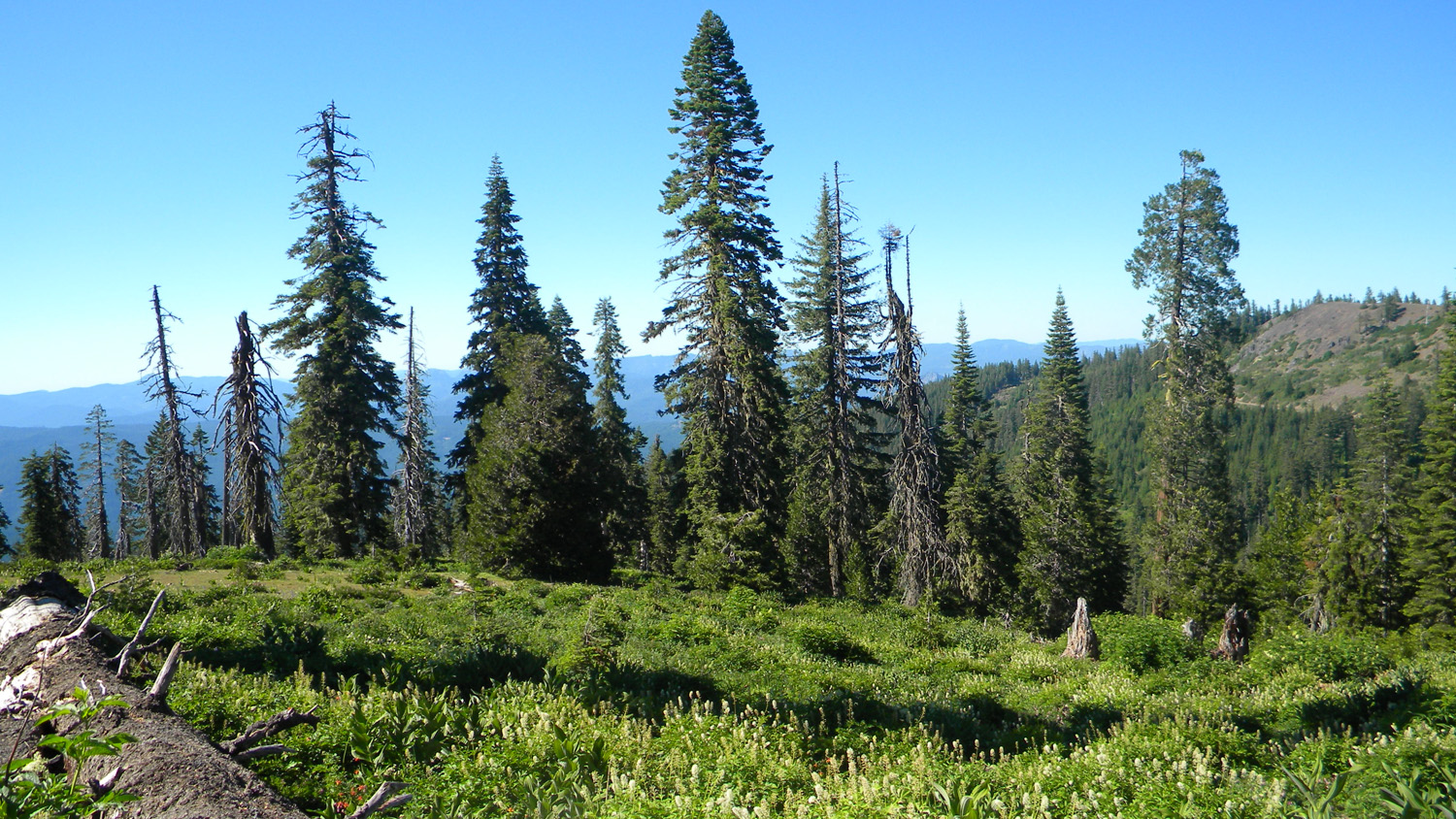
The following list is of 25 areas selected because of their special interest to the 2010 "Upper South Umpqua Headwaters Precontact Reference Study" project. The selection was made following discussions among project principals that focused on the study’s research design, combined knowledge of the landscape, personal field observations, and detailed considerations of relevant historical documents; including written and oral histories, photographs, original land survey records, maps, and government reports.
These “Areas of Special Interest” were then systematically determined based primarily on geographical location, geological formation, cultural and historical significance, and vegetation type. Every effort was made to select a widely diverse group of locations that would be best representative of the entire study area (see "Note" below). The primary research purpose of these areas is to provide a practical means to sample and test key portions of the study in greater detail so that findings might by generalized with some confidence over the entire landscape. In this manner aerial photographs, tree ring counts, direct field observations and measurements, timber cruises, tax maps and other methods can be used to more closely examine these key locations in lieu of the impossibility (because of time and resource constraints) of performing such detailed analyses over the entire study area.
Icon |
Name |
TSP |
RNG |
SEC |
Acres |
 |
500 Road | 31 S. |
1 W. |
05 |
|
 |
Abbott Butte | 30 S. |
2 E. |
23 |
|
 |
Acker Ranch | 29 S. |
1 E. |
27 |
|
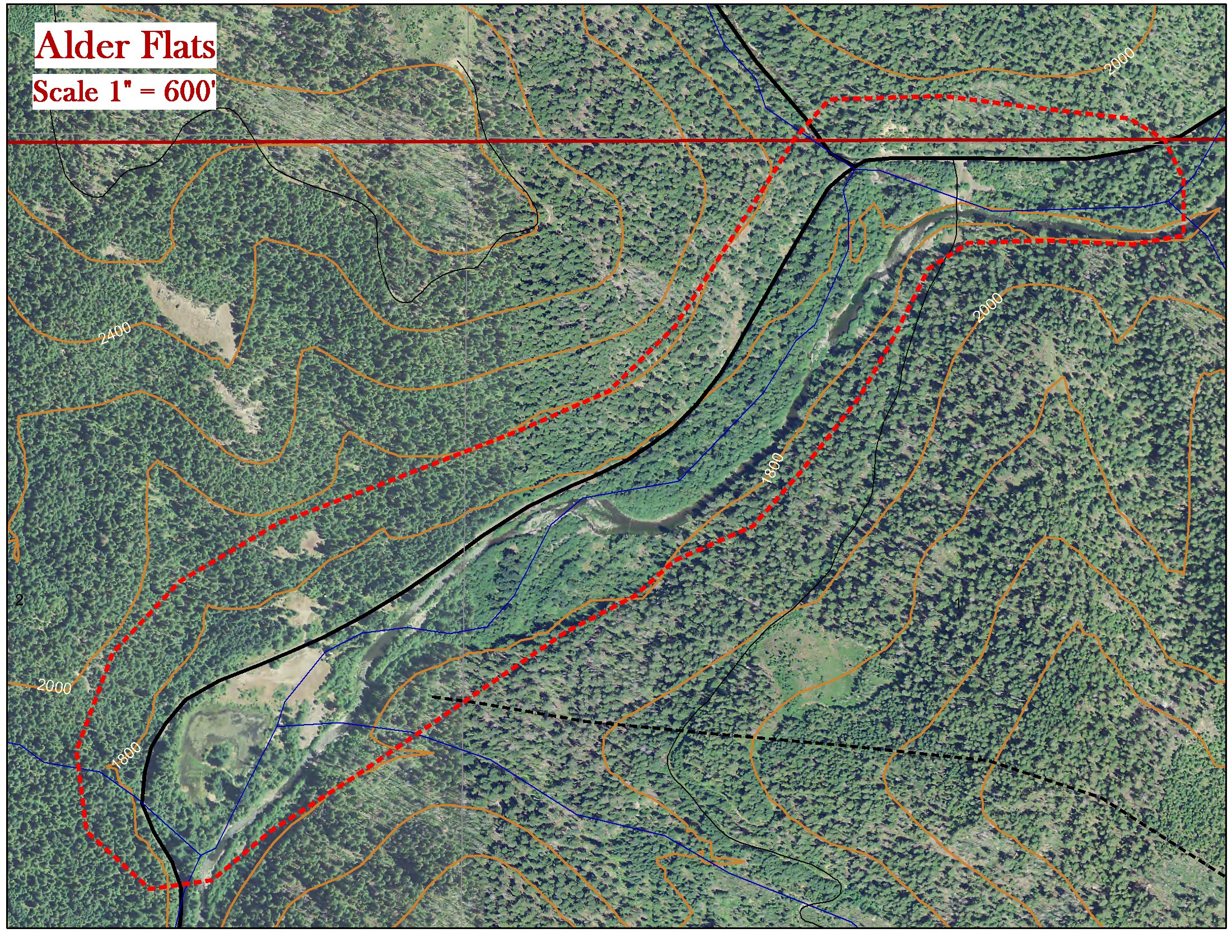 |
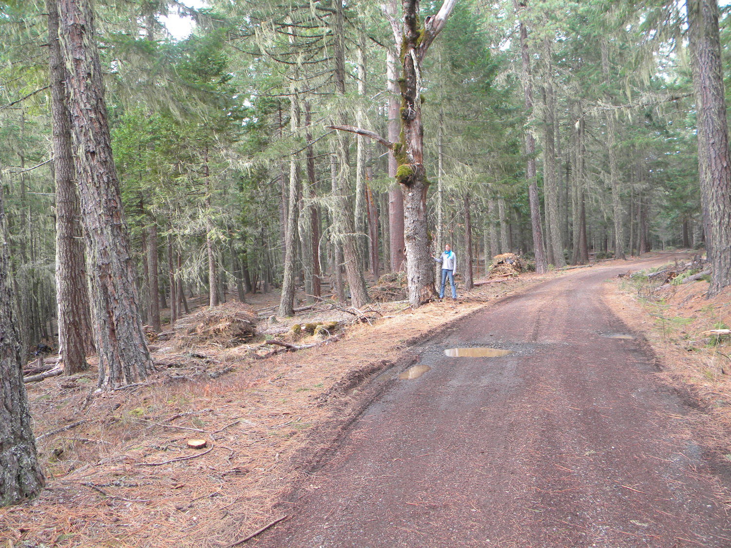
Alder Flats | 29 S. |
1 E. |
01 |
|
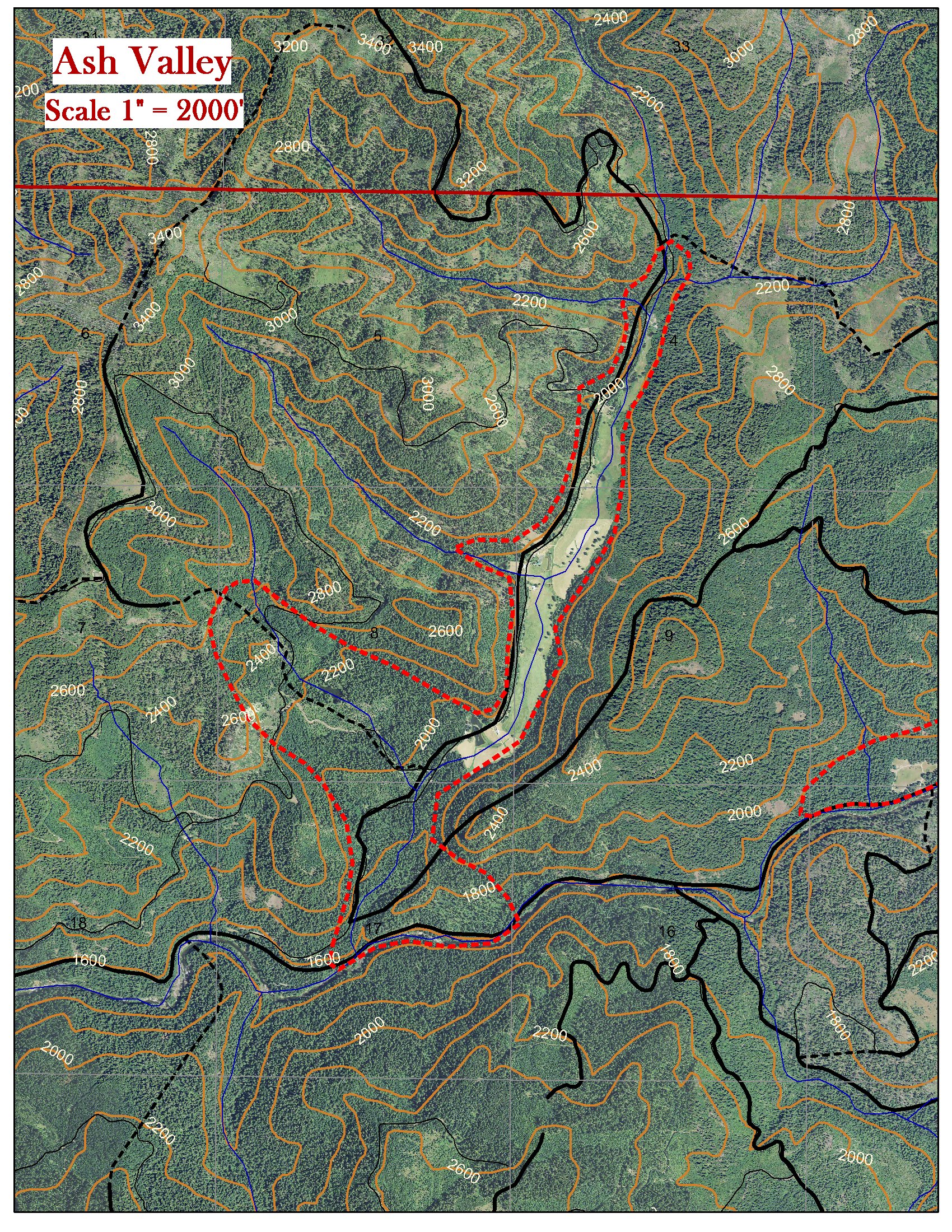 |
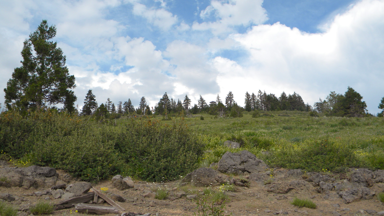
Ash Valley | 29 S. |
1 E. |
09 |
|
 |
Bald Ridges | 31 S. |
1 E. |
02 |
|
 |
Beaver Lake | 30 S. |
1 W. |
33 |
|
 |
Collins Ridge | 30 S. |
1 W. |
11 |
|
 |
Devils Knob | 31 S. |
1 W. |
23 |
|
 |
Donegan Prairie | 30 S. |
2 E. |
33 |
|
 |
Fish Lake | 29 S. |
3 E. |
05 |
|
 |
Five Lakes | 28 S. |
2 E. |
20 |
|
 |
French Junction | 27 S. |
3 E. |
32 |
|
 |
Grasshopper Complex | 29 S. |
3 E. |
07 |
|
 |
High Prairie | 28 S. |
3 E. |
23 |
|
 |
Huckleberry Lake | 31 S. |
2 E. |
05 |
|
 |
Pickett Butte | 30 S. |
1 W. |
29 |
|
 |
Pup Prairie | 29 S. |
3 E. |
20 |
|
 |
Quartz Mountain | 28 S. |
1 E. |
02 |
|
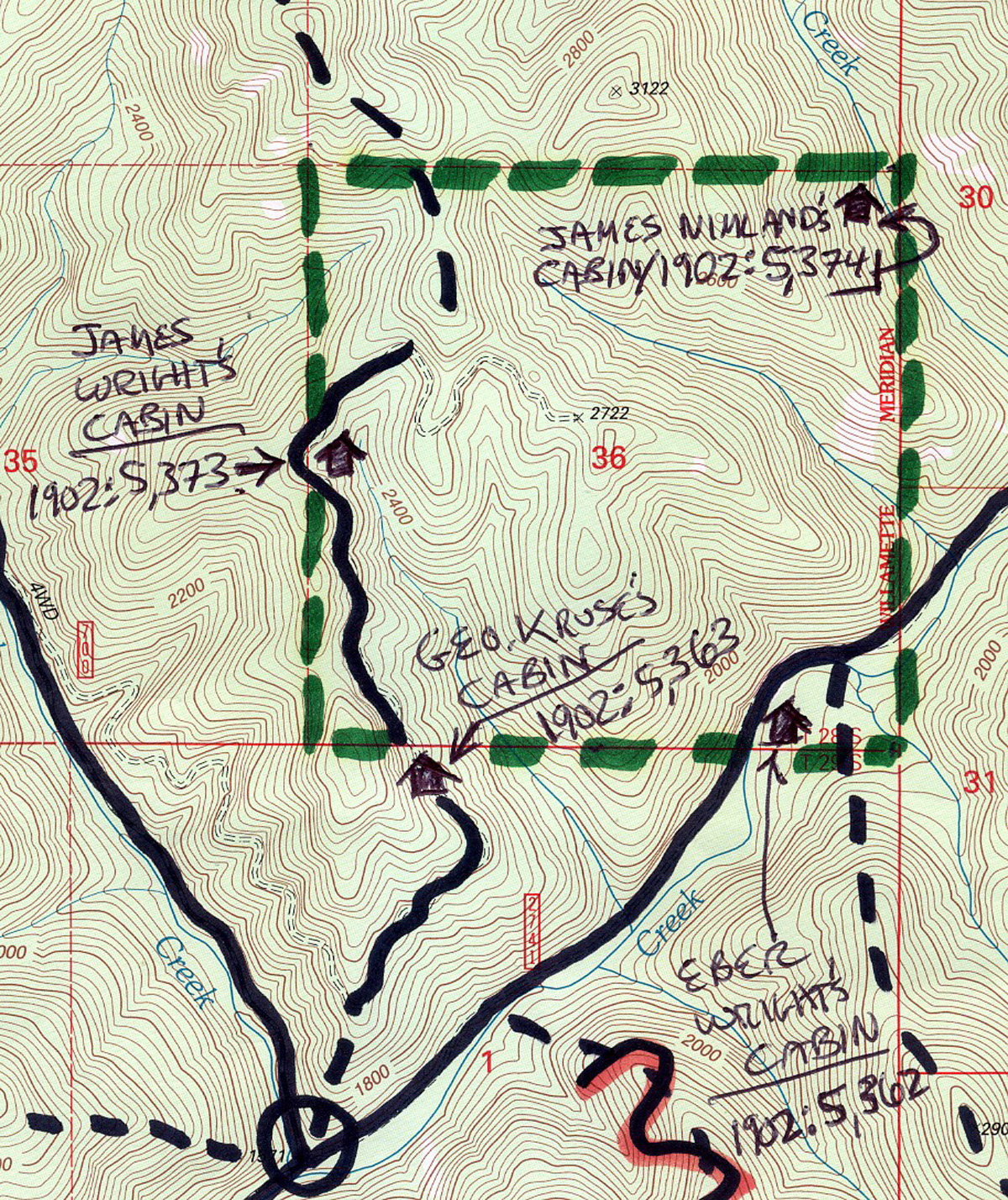 |
Section 36 | 28 S. |
1 W. |
36 |
|
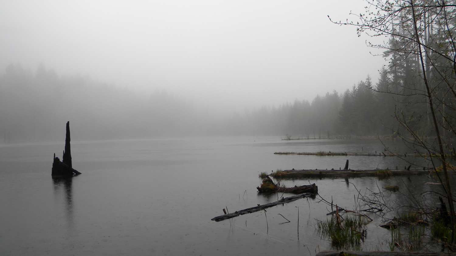 |
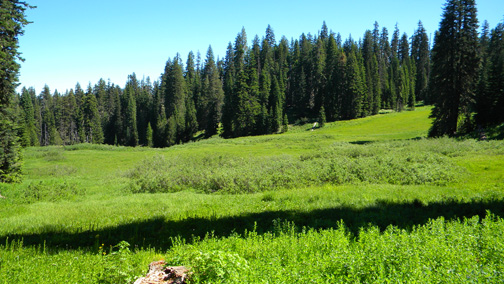
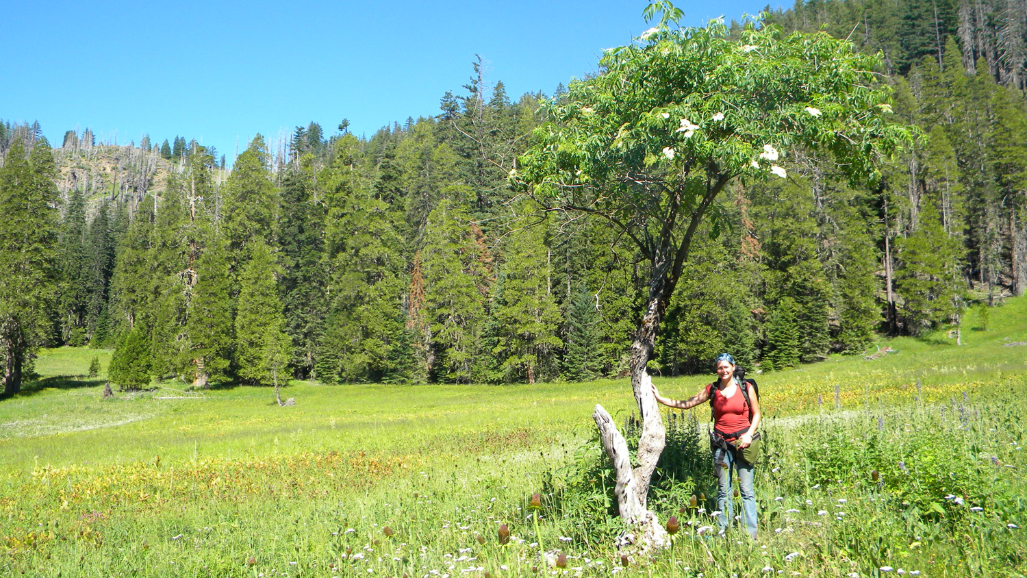
Skookum Pond | 29 S. |
2 E. |
33 |
|
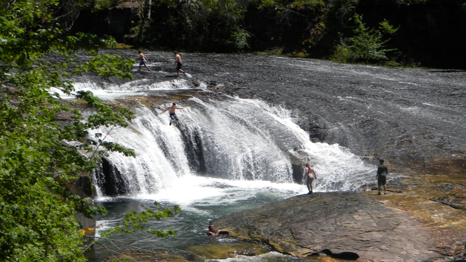 |
South Umpqua Falls | 29 S. |
1 E. |
10 |
|
 |
Squaw Flat | 30 S. |
1 E. |
10 |
|
 |
The Forks | 30 S. |
1 W. |
18 |
|
 |
Whiskey Camp | 30 S. |
1 E. |
31 |
Note: Because of the intended purpose of this study -- to assemble and document precontact land use and vegetation pattern reference conditions – particular attention has been placed on selecting special interest areas that might best represent precontact (“pre-1826”) conditions, or contain information by which such conditions might be more readily inferred or determined: such as relict plant populations (including old-growth trees and other persistent vegetation patterns) or archaeological remains. For that reason, selection bias was given to known and suspected seasonal Indian villages, campgrounds, and other primary precontact destinations; such as likely hunting, fishing, gathering, trading, and food growing and processing sites.
![]()
© 2010 Oregon Websites & Watersheds Project, Inc.