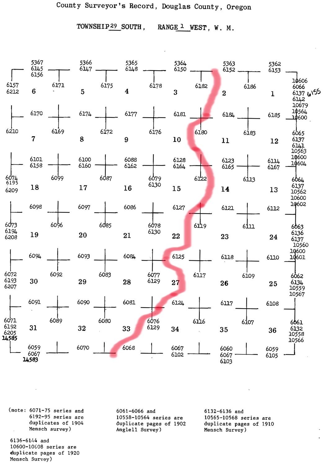
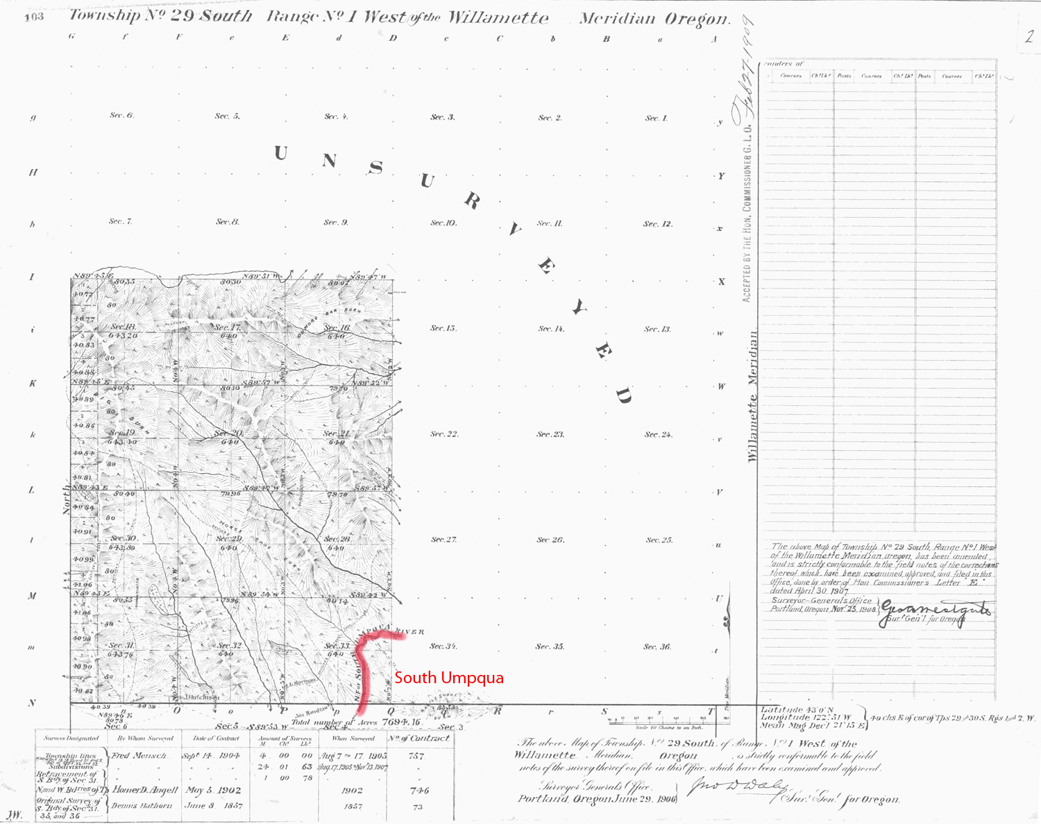
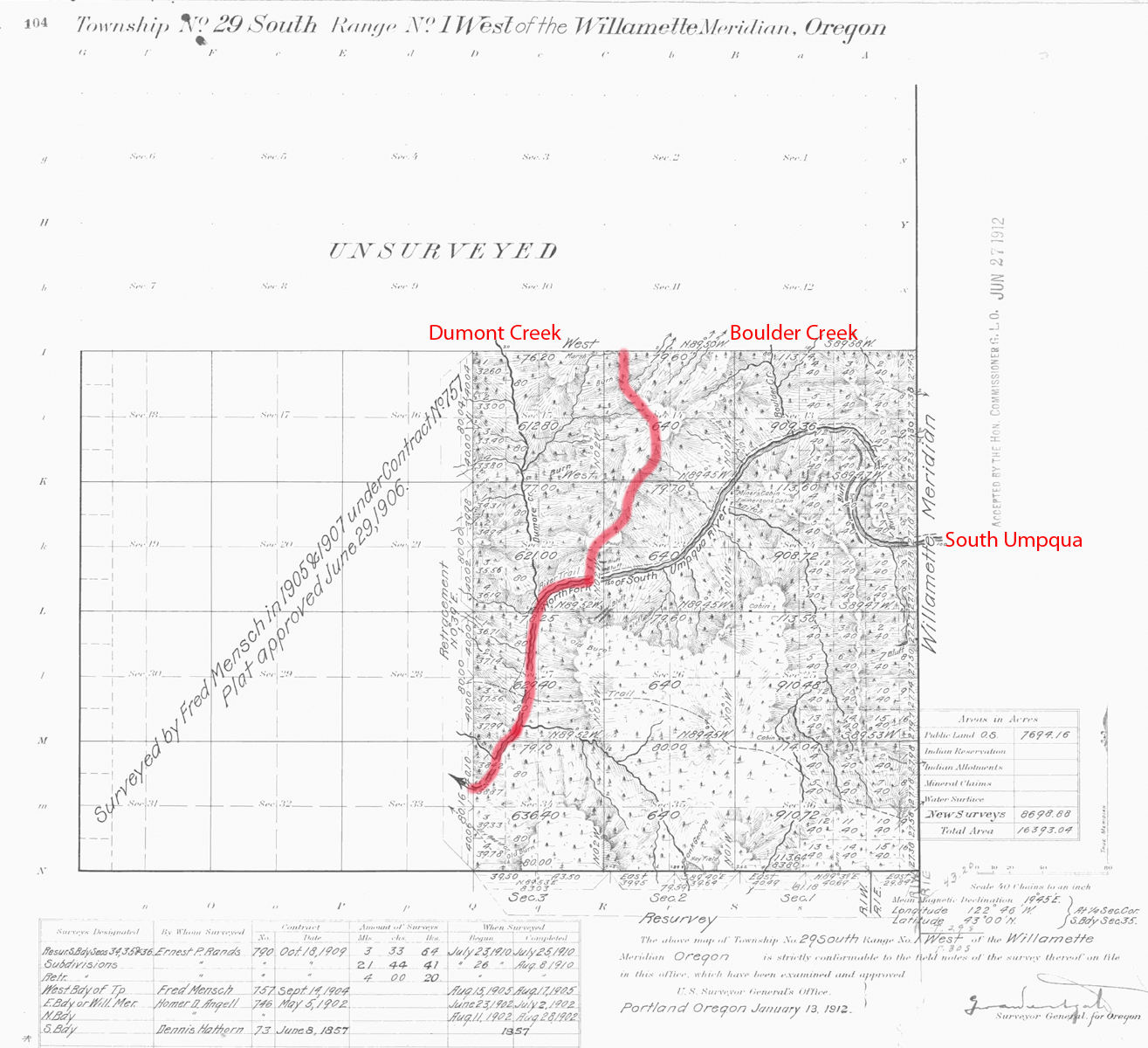
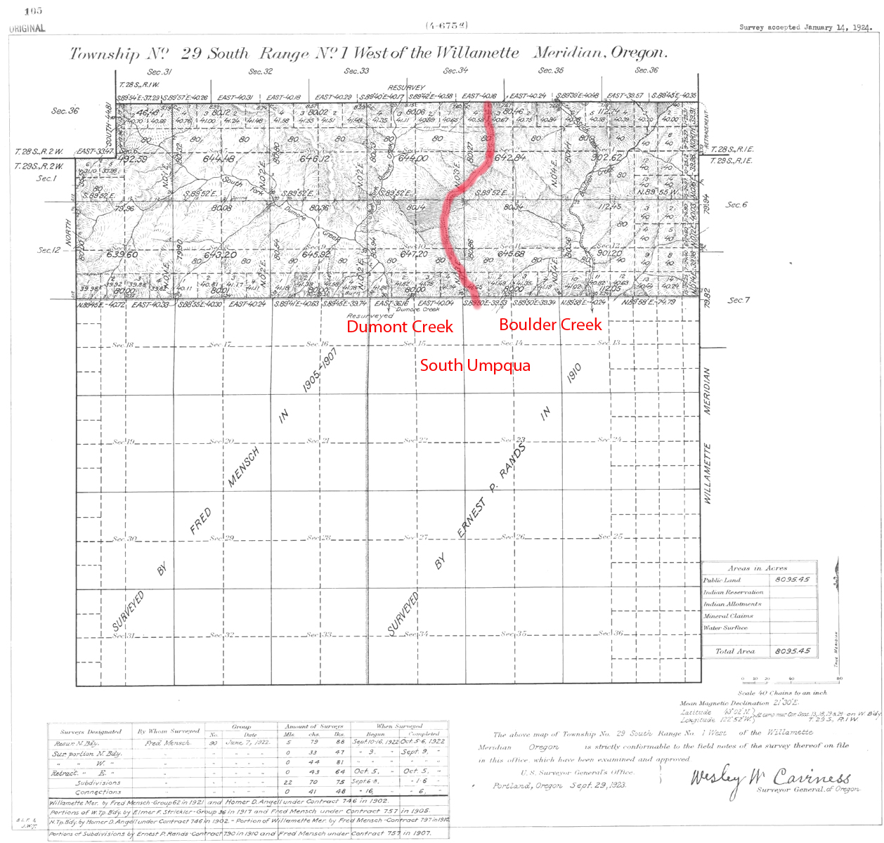
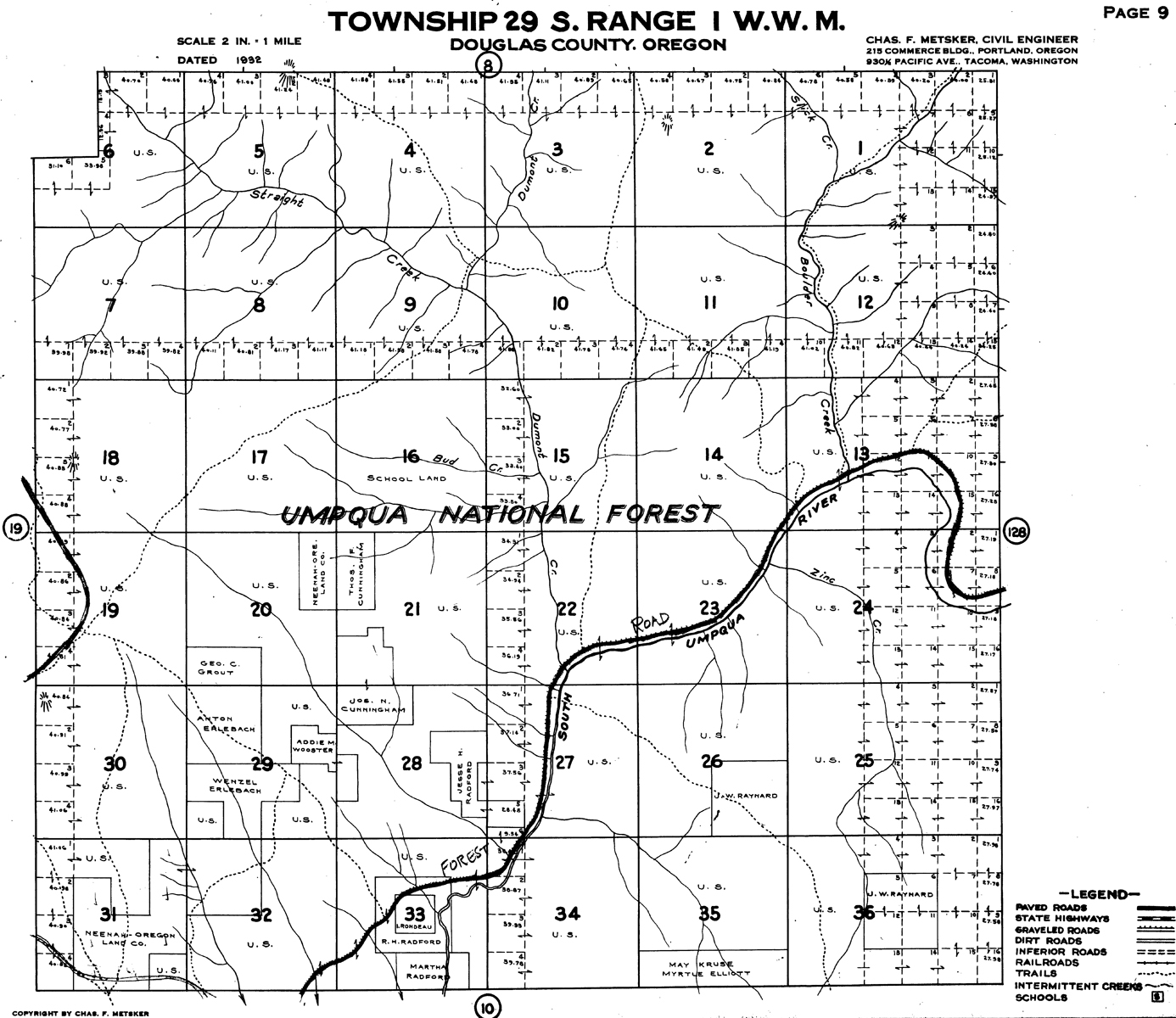
South Umpqua River
Tsp. 29 S., Rng. 1 W.
1923 General Land Office Survey Index
 |
 |
 |
 |
1906 GLO |
1912 GLO |
1923 GLO |
1932 Metsker |
The red line of this index indicates the western boundary of the 2010 South Umpqua Headwaters Precontact Reference Conditions Study, including a portion of the mainstem South Umpqua River. The township includes the Clayton Point Fire Lookout and a portion of the Collins Ridge Area of Special Interest. This survey was completed in 1857, 1902, 1906, 1910, and 1921 and mapped in 1906, 1912, and 1923 (Hathorn 1857; Angell 1902; Mensch 1906; Rands 1910; Mensch 1921a).