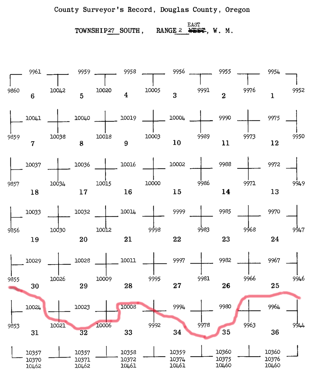
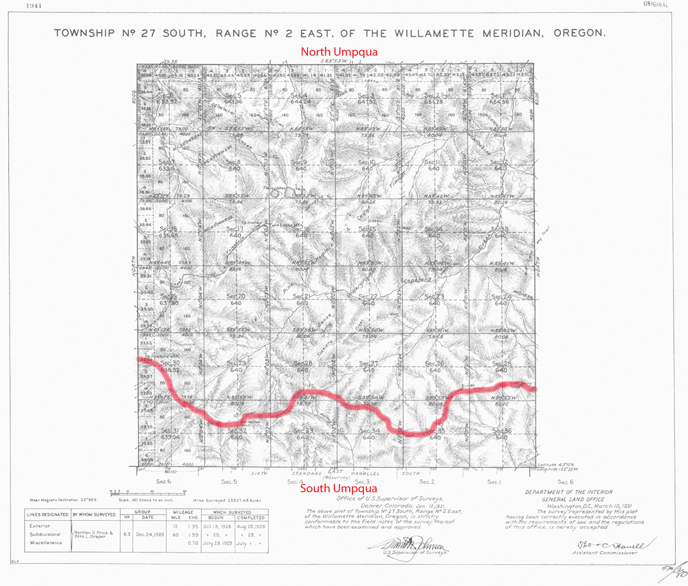
South Umpqua River
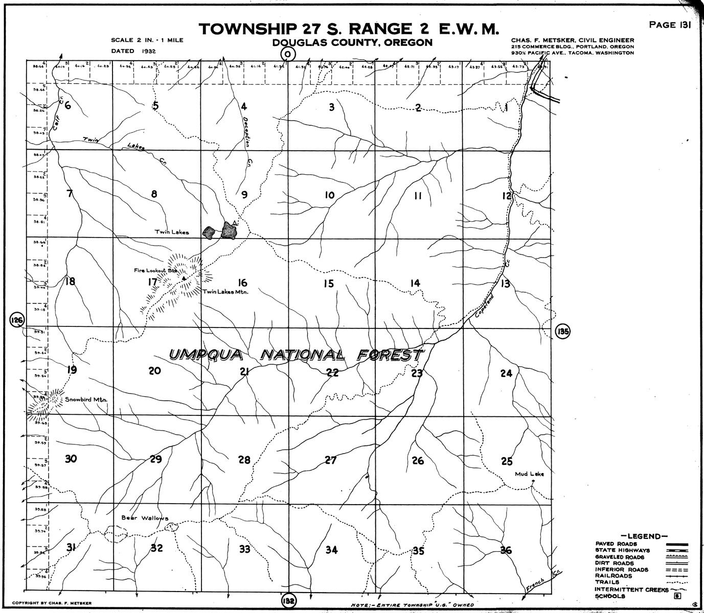
Tsp. 27 S., Rng. 2 E.
1931 General Land Office Survey Index
 |
 |
1931 GLO |
1932 Metsker |
The red line of this index indicates the watershed line between the South Umpqua and North Umpqua rivers. This forms the northern boundary of the 2010 South Umpqua Headwaters Precontact Reference Conditions Study. This survey was completed in 1929 and mapped in 1931 (Price and Draper 1929).