2019 SWOCC Elliott State Forest Draft Recreation Plan
INTRODUCTION: "The Elliott"
By Koby Etzwiler, Sebastian Bartlett, and Amelia Harvey
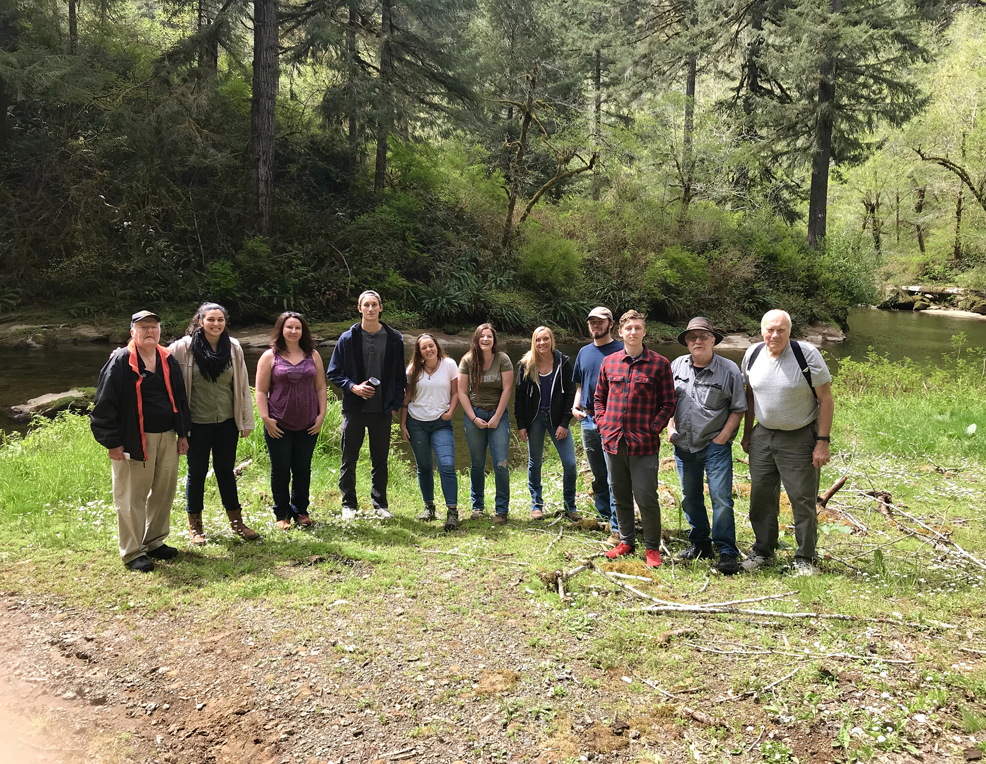
Fig. 1.0. Elliott History "Elkhorn Ranch" Field Trip group photo on the West Fork Millicoma River fishing campsite. . Left to Right: Jerry Phillips, Tasha Livingstone, Kelsey Morrison, Kainoa Altier, Gabriella Jones, Hunter Black-Priest, Amelia Harvey, Sebastian Bartlett, Koby Etzwiler, Bob Zybach, David Gould. Photo by Wade Gould, April 23, 2019.
"I'd been vaguely aware of the Forest’s existence since attending Oregon State College, where it was described in college literature as an undeveloped State-owned forest of young timber lying between Coos and Umpqua Rivers, dedicated to educational purposes."
-- Jerry Phillips 1998: iii
The Elliott State Forest is located along the southern Oregon Coast between Coos Bay and Reedsport. It covers 93,000 acres of public land. The Elliott has a very historic background, being Oregon’s first State Forest and named after Oregon’s first State Forester, Francis Elliott. All profits from the forest benefit local and state schools through Oregon’s Common School Trust Fund (Phillips 1998: 1-15; Bird 2016). These lands are owned and set aside by the state and overseen by the State Land Board of the Governor, Secretary of State, and State Treasurer.

Map 1. Oregon’s State Forests. Yellow is Common School Fund lands (Decker, et al. 2011: xvi).
The class of 2018 began the process of writing a Draft Recreation Management Plan due to the lack of revenue being generated by the forest, and this year we continued their work by looking more in-depth at ways to bring in money for the Elliott. To gather our information, we traveled to several destinations in and around the Elliott (see Appendix C) in addition to online research. We describe, in detail, the various aspects of recreational activities in and surrounding the forest as well as recommendations for possible opportunities for profit. In our class of 7 students, each took the responsibility of writing a different section, which was combined for the final product.
![]()
© 2017, 2019 Oregon Websites & Watersheds Project, Inc. & NW Maps Co.