Port Orford Historical District
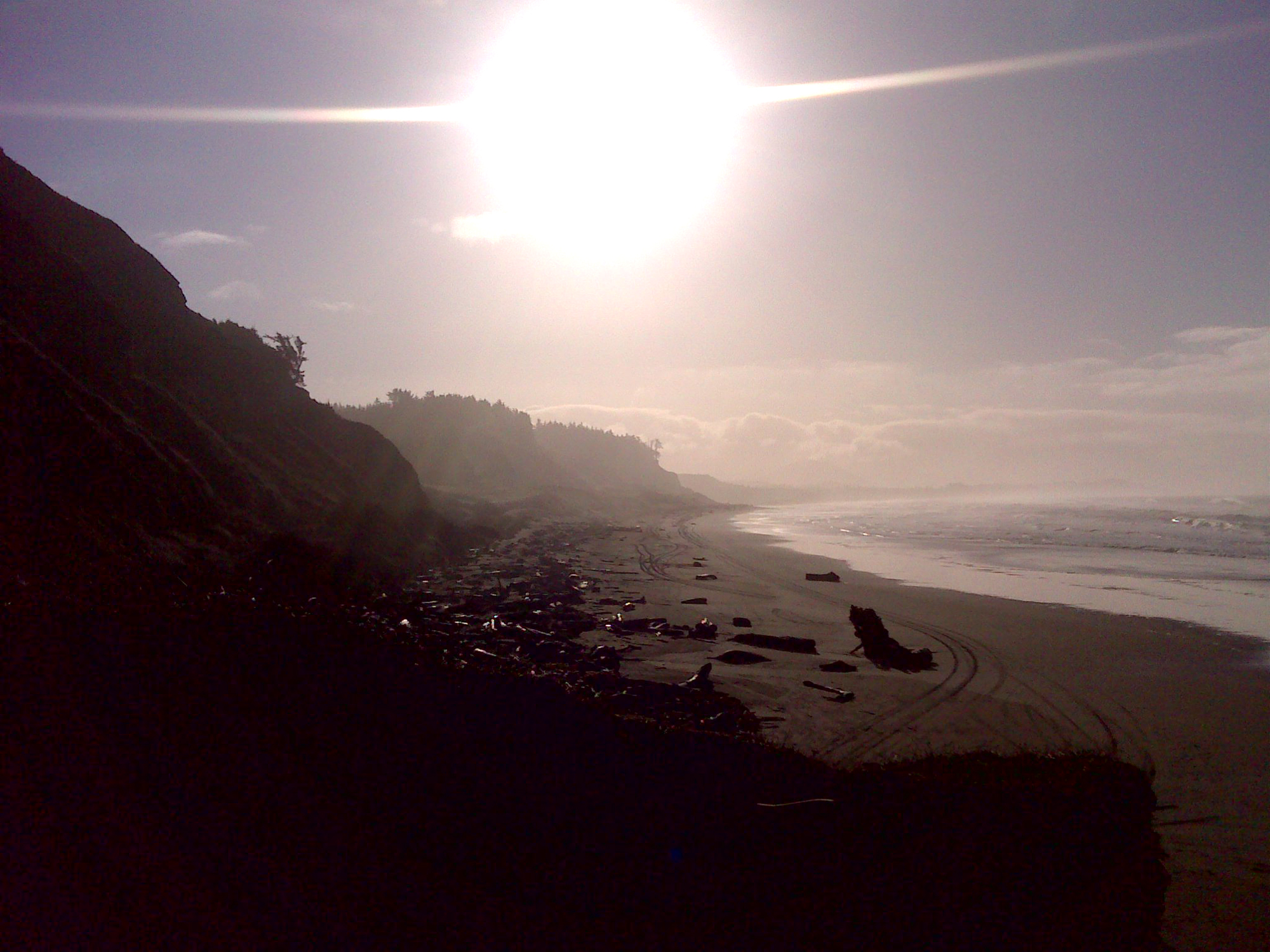
Beach Trail from The Heads to Cape Blanco, November 30, 2011 (georeferenced photo by B. Zybach).
Port Orford, Fort Orford, and Battle Rock are the beginning and/or ending points of many historical trail events in the study area: beginning with the June 1851 landing at Battle Rock by William Tichenor and his crew; and ending, largely, with the forced evacuation of most surviving southwest Oregon Indian families by ship and by foot to northern reservations during July 1856 (Zybach 2012). This district is bounded on the west by the Pacific Ocean, to the north by the Coquille River watershed (Bandon Historical District), to the east by the South Fork Coquille watershed (South Fork Historical District), and to the south by the Rogue River watershed.
The district includes the Sixes River, Elk River, New River, Floras Creek, and Fourmile Creek basins, each of which likely supported canoe traffic to the head of tidewater. The primary north and south trail through the district was probably the beach, with Humbug Mountain, The Heads, and Cape Blanco being the only places necessary to travel inland. Port Orford Historical District is shown on Map 11 and Table 8.
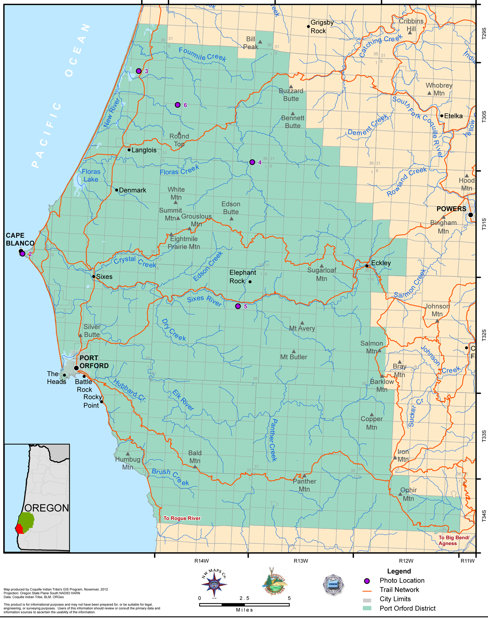
Map 11. Coquelle Trails: Port Orford Historical District (Zybach, Ivy & Harkins 2012).
|
|
|
|
|
|

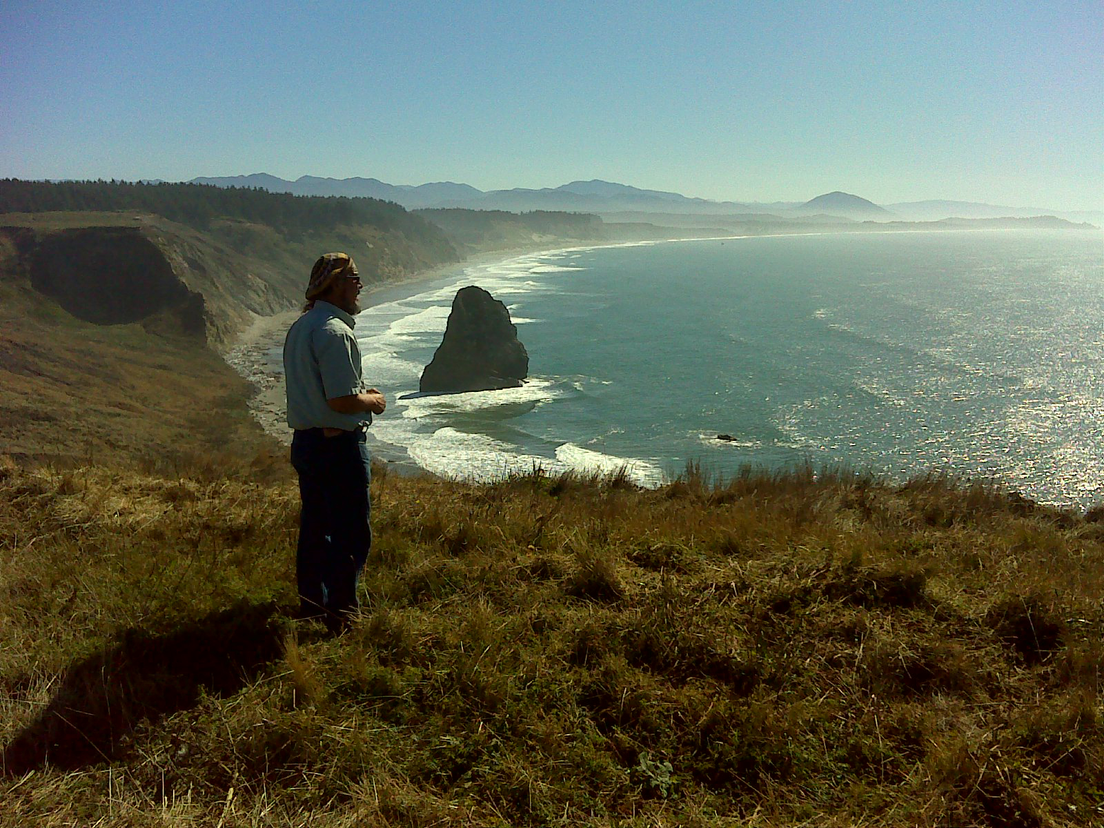

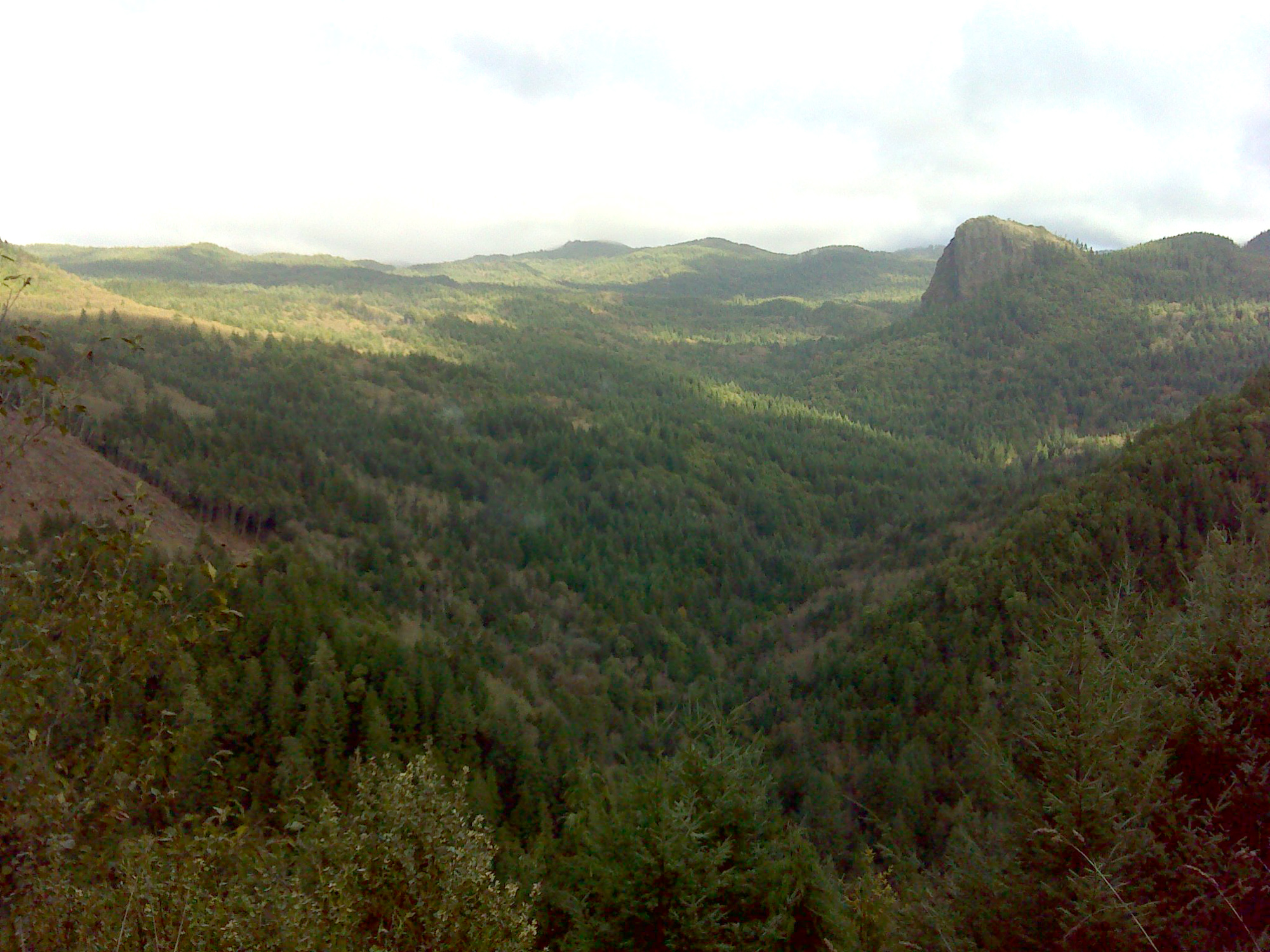
Table 8. Coquelle Trails: Port Orford Historical District (B. Zybach 2011).
![]()