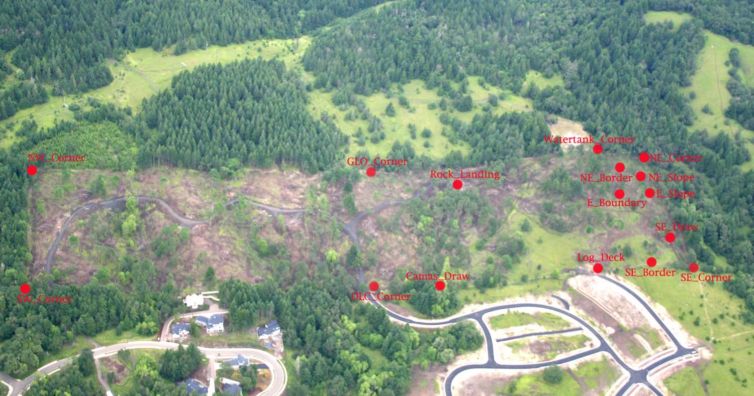
GPS Panoramas
Double-click this image to get a hyper-linked map to each of the Geographic Positioning System (GPS) points used for project monitoring purposes.
The following list of named GPS points corresponds to the index map above.
| Camas_Draw | Primary drainage of savannah restoration area. | |
| DLC_Corner | Corner between two Mulkey land claims | |
| E_Boundary | View of eastern boundary weed populations. | |
| E_Slope | ||
| GLO_Corner | ||
| Log_Deck | ||
| NE_Border | ||
| NE_Corner | ||
| NE_Slope | ||
| Rock_Landing | ||
| SE_Border | ||
| SE_Corner | ||
| SE_Draw | ||
| Watertank_Corner |
![]()