Link Creek
Rocky Outlook 360° Panorama
![]()
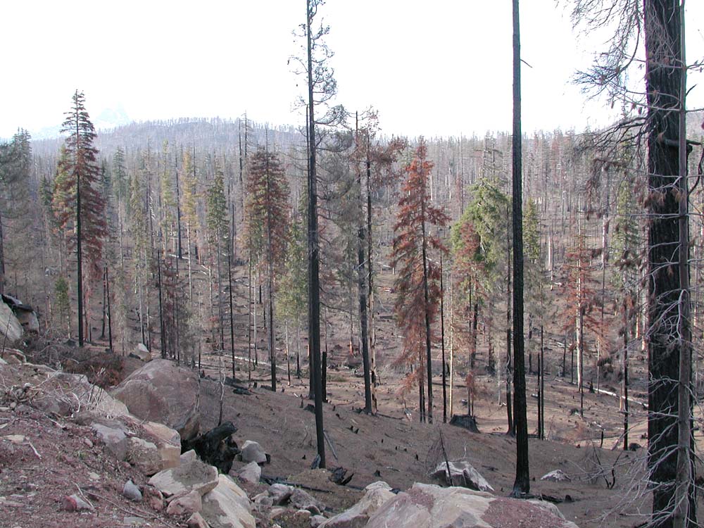
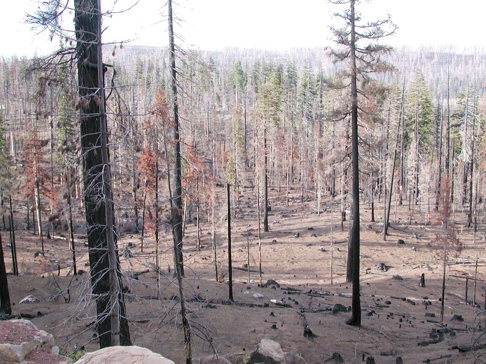
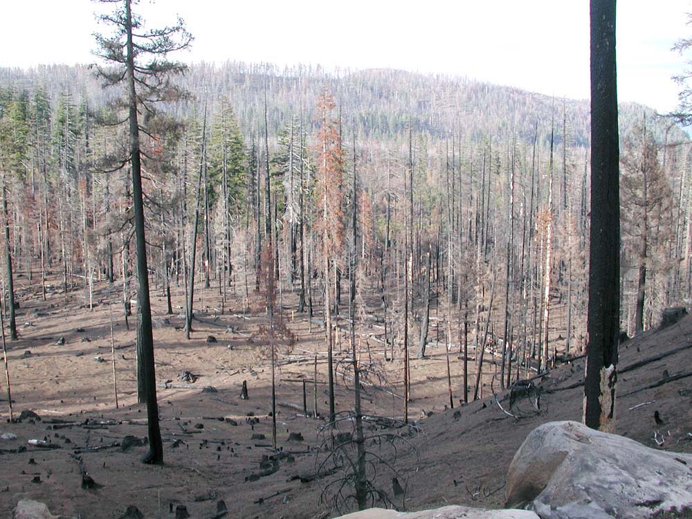
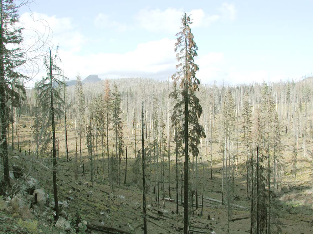
View east from Link Creek rocky outcrop, May 13, 2004.
Northing 44. Easting 121. Elevation
This is the same vantage point used by Deschutes National Forest scientists and resource managers to describe the severity and extent of the B&B Complex Fires during the June 30, 2004 tour hosted by Jerry Franklin. This is also one of the first grid point locations to be rephotographed since the beginning of this project. The following dates represent complete 360° panoramas, taken a few yards from one another, five months apart:
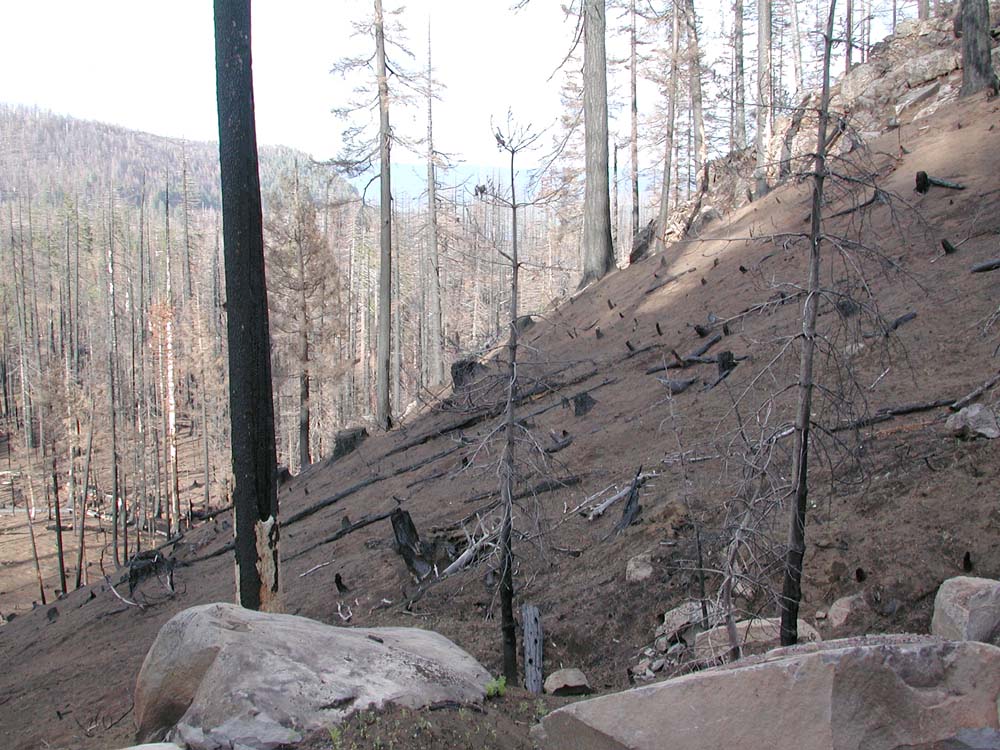
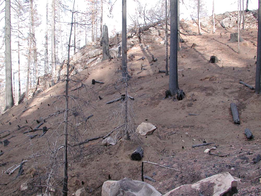
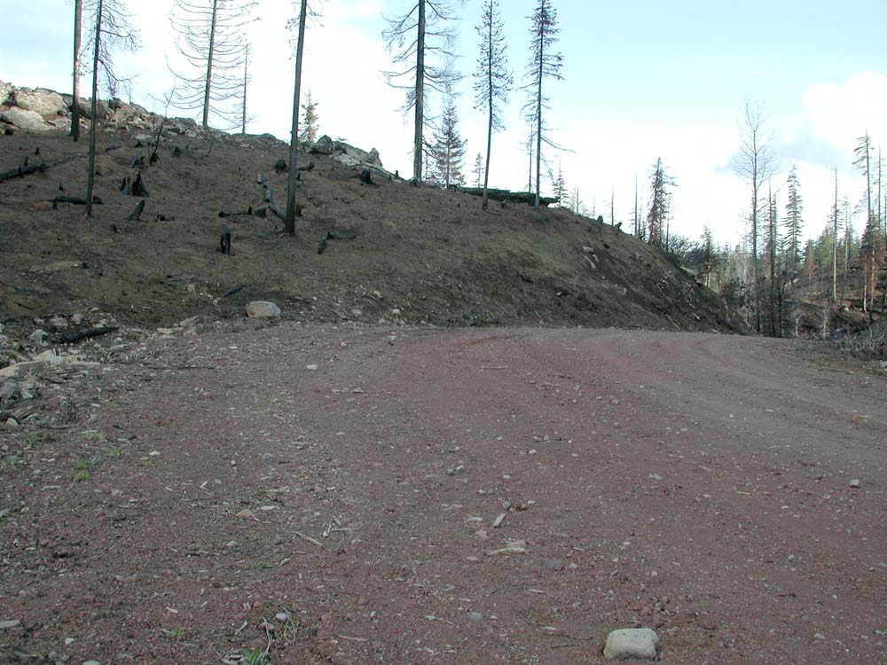
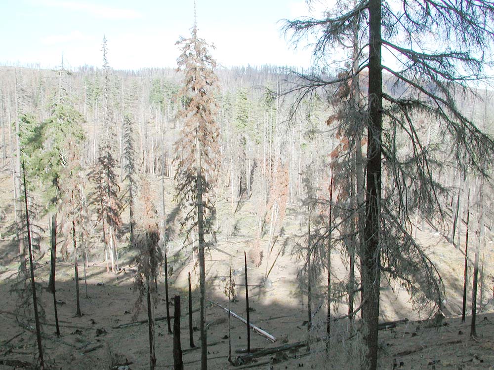
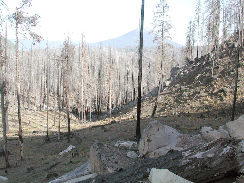
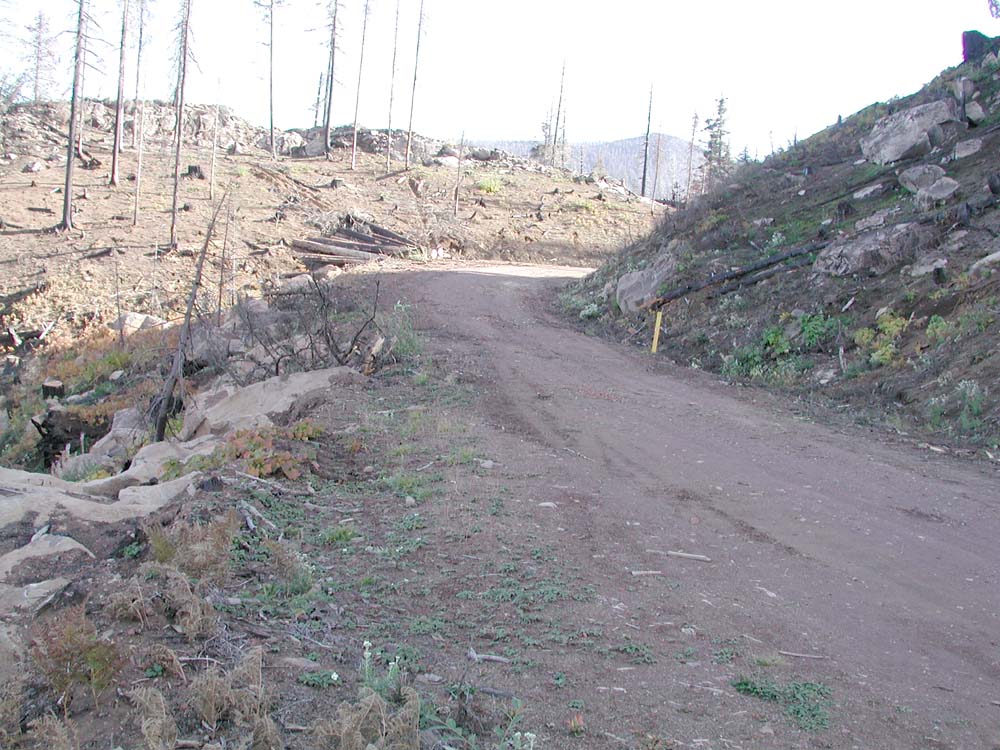
The table below compares similar vantage points for photographs taken in the spring and in the fall. Note the differences in variety and abundance of surface vegetation following the fire. Roadside diversity may have been affected by mulching activities that followed the fire.
First Year's Revegetation of Link Creek Subbasin,
Following High Severity B&B Complex Fires of 2003
Spring (May 13), 2004 |
Fall (October 16), 2004 |
 |
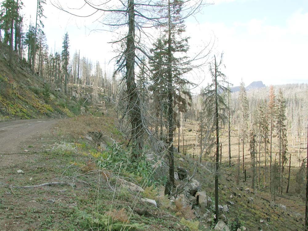 |
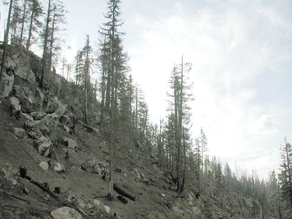
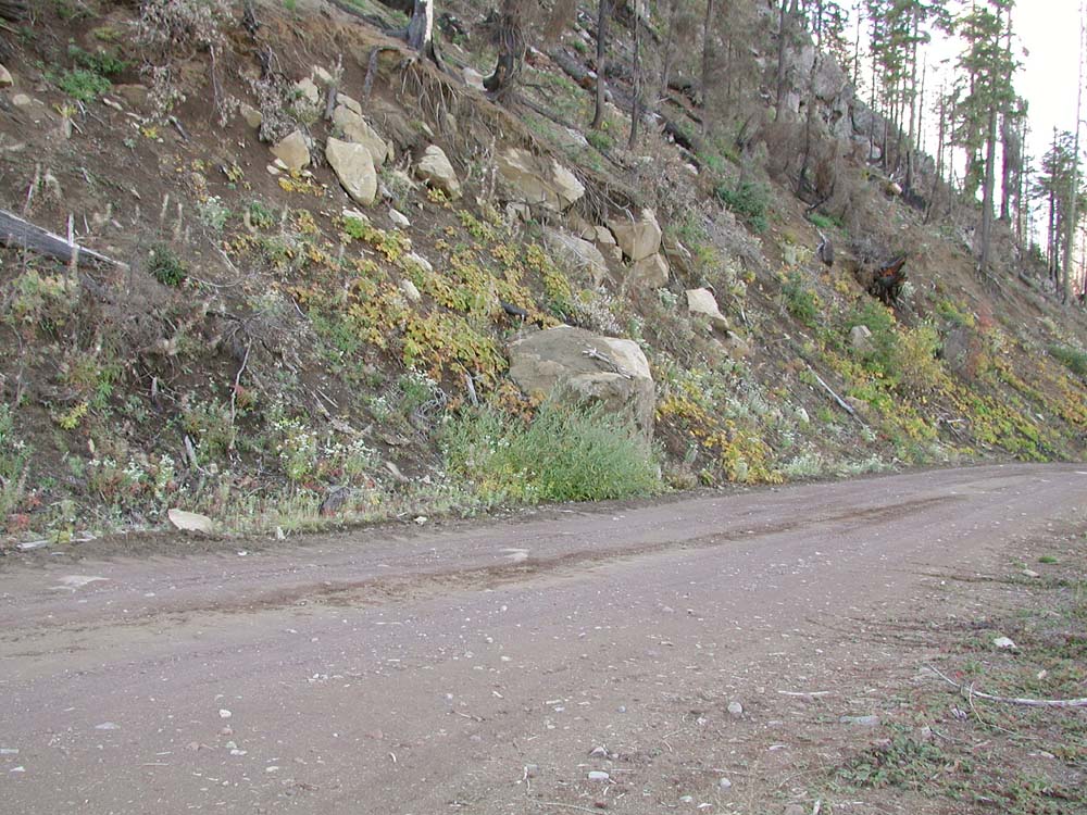
| As snows began to melt away for the year, soil that had been burned clean of plants and duff the previous summer was still mostly barren of plant life. Road shoulders and cutbanks showed hardly any erosion. | By Fall, numerous grasses and wildflower species had sprouted from the burned soil along the 2076 Road. They could have seeded in naturally, although may have been the product of seeded mulch or vehicular traffic. |
 |
 |
| Below the road most of the soil was burned clean. A few small patches of fiddleheads, mushrooms, and strawberries were noted. | By Fall, more than 75% of the visible surface area that had been previously burned, was covered bybracken fern - at this time, yellowed and browned by the first frosts of the year. |
 |
 |
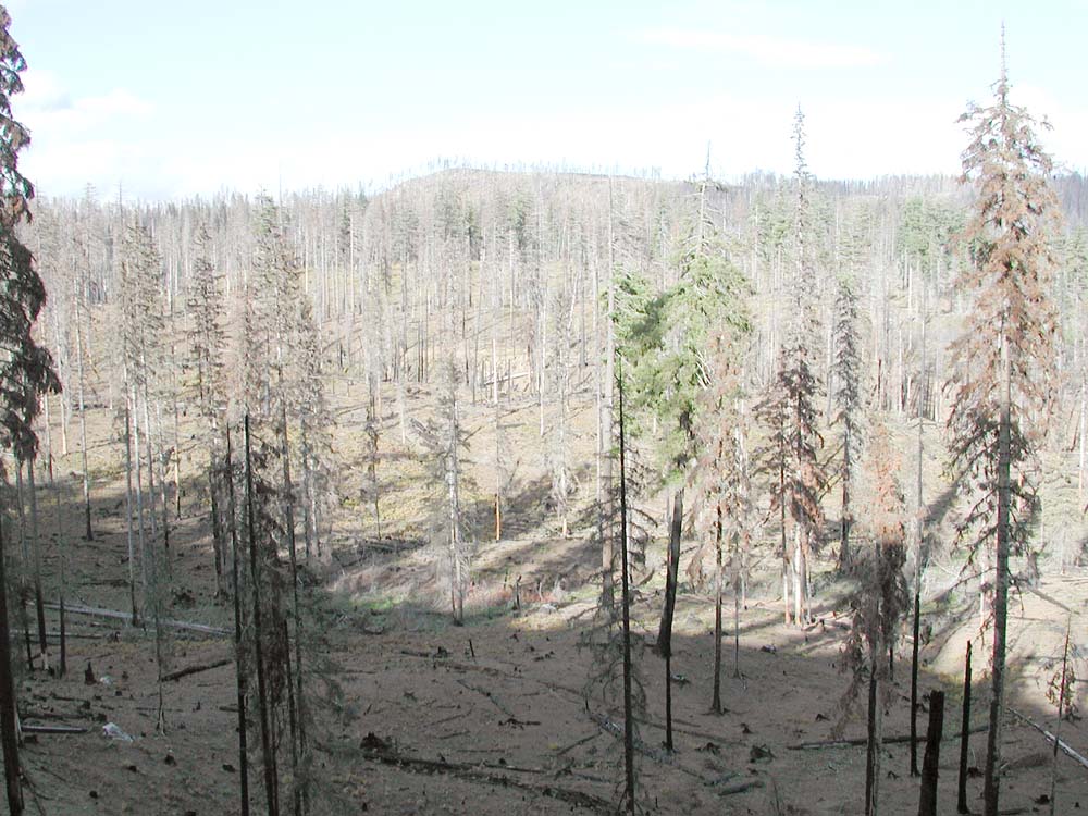
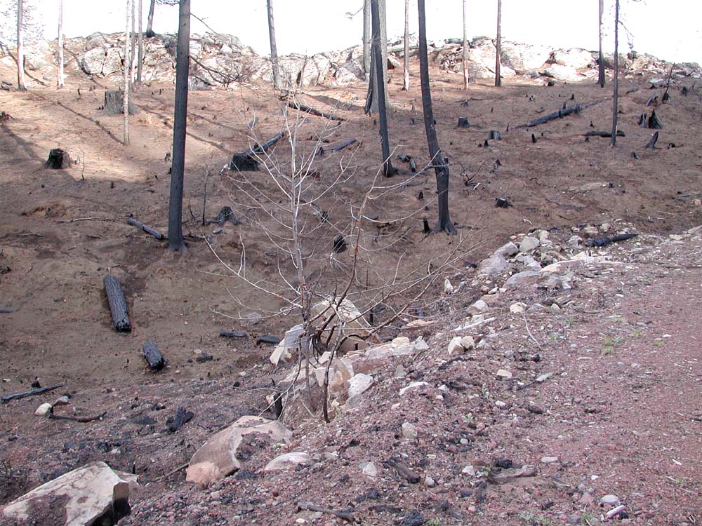
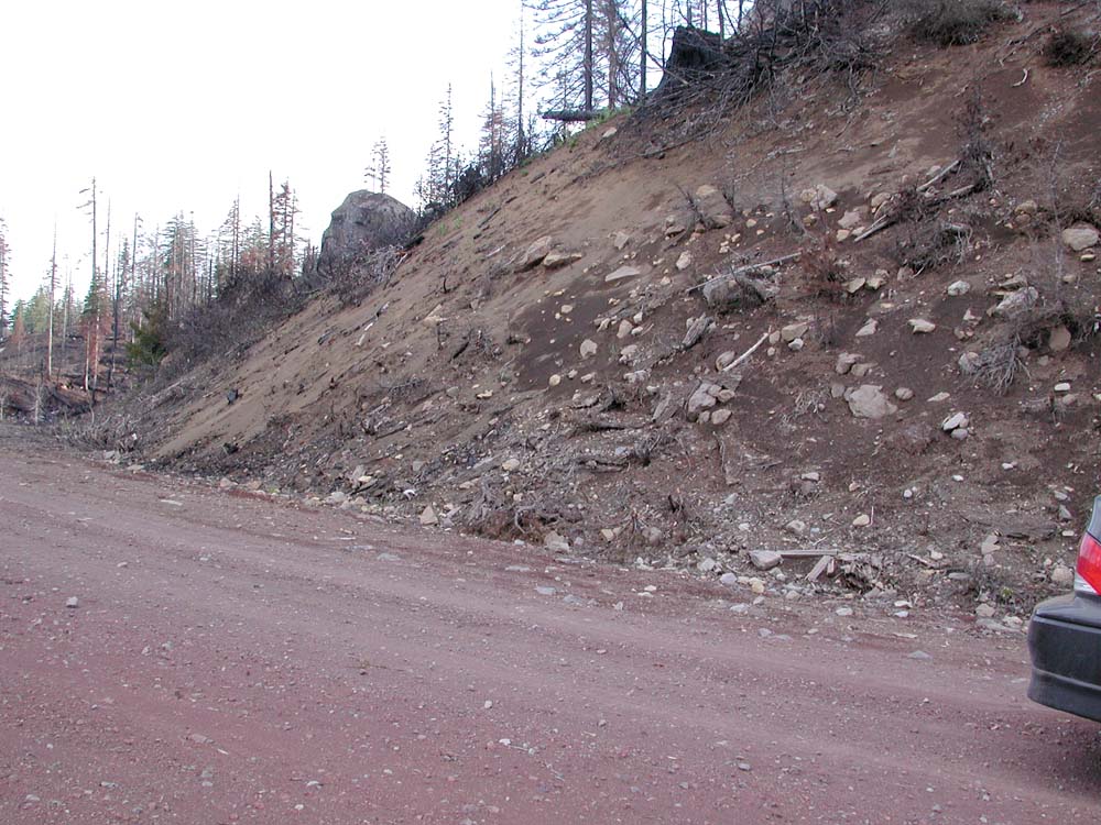
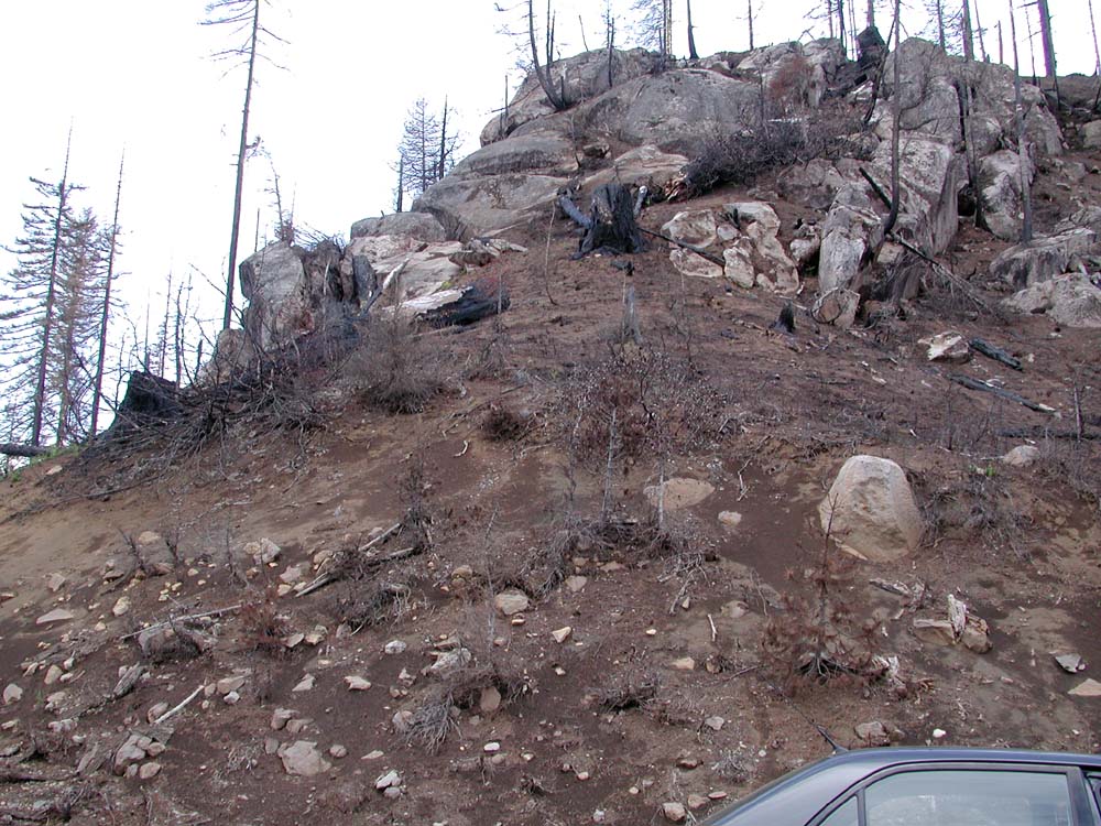
| Red rocked road and rimrock bound an area of burned soil, near the headwaters of Link Creek. Note that before the fire there was some logging here. | By Fall, this area still appears baren, although some ferns and grasses have come up. There has been recent logging, which may have affected vegetation regrowth. |
 |
 |
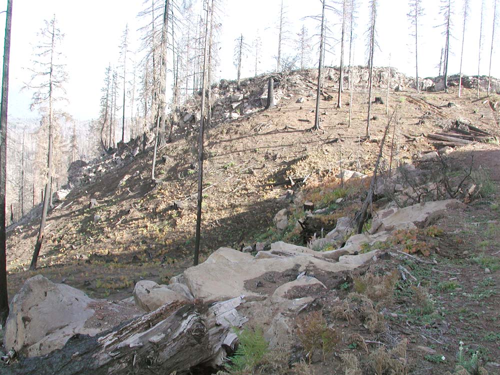
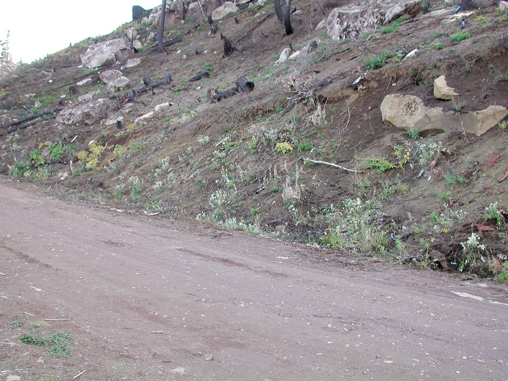
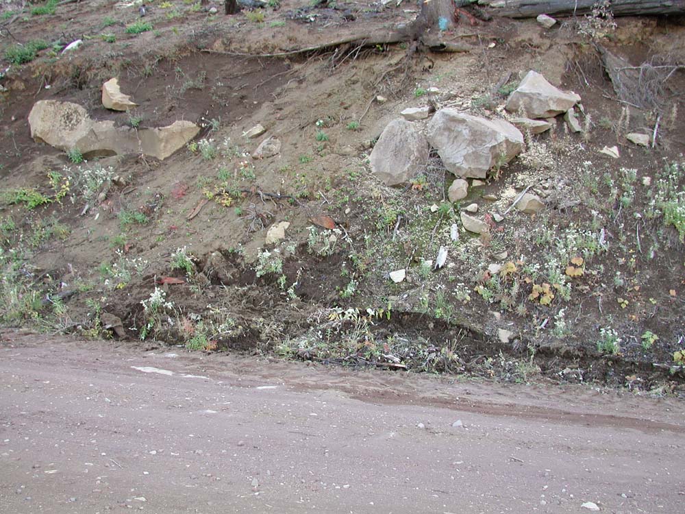
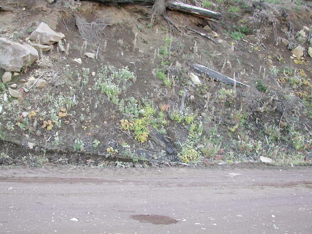
| In the Spring this cutbank showed nearly no signs of life. Note that these rocks were probably bare before the fire. | By Fall numerous grasses and plantlife had taken hold on the cutbank. There are still no signs of erosion here. |
![]()
©2004 Oregon Websites and Watersheds Project, Inc. and NW Maps Co.