QTVR Panoramas
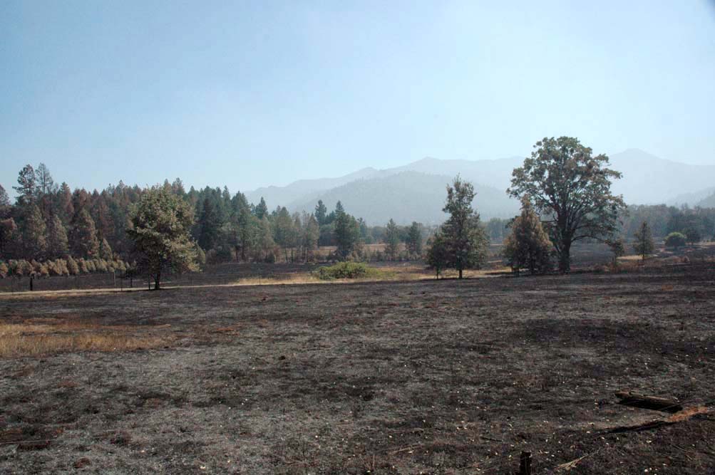
Photograph taken from Green_Lawn MOV file
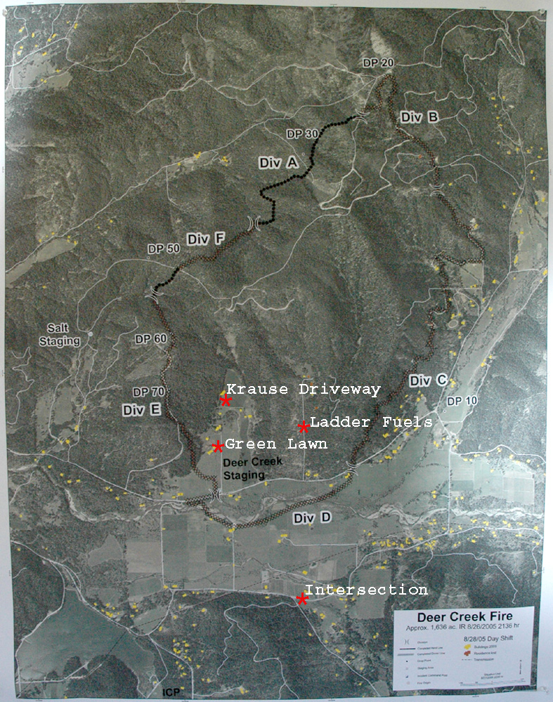
The following QTVR (QuickTime Virtual Reality) panoramic photographs were taken on August 28th, 2005, in the immediate vicinity of the origin of the Deer Creek Fire. Photograph locations can be tied into GPS coordinates and are shown on an index map. A listing of individual JPGs used to make these panoramas can be found here.
|
|
|
|
© 2005 by Oregon Websites and Watersheds Project, Inc.