Upper South Umpqua Headwaters Precontact Reference Study
Tsp. 28 S., Rng. 1 W.
![]()
![]()
Here is where we want to put in some survey info stuff and references (Wilkes, Draper, and Price 1928) and link to Original Land Survey Notes.
This township is located in the Upper South Umpqua Headwaters Precontact Reference Study and contains portions of two of the study's subbasins: Quartz Creek Subbasin and Boulder Creek Subbasin.
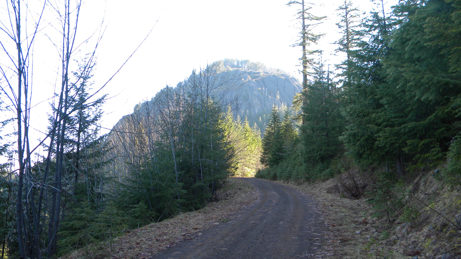
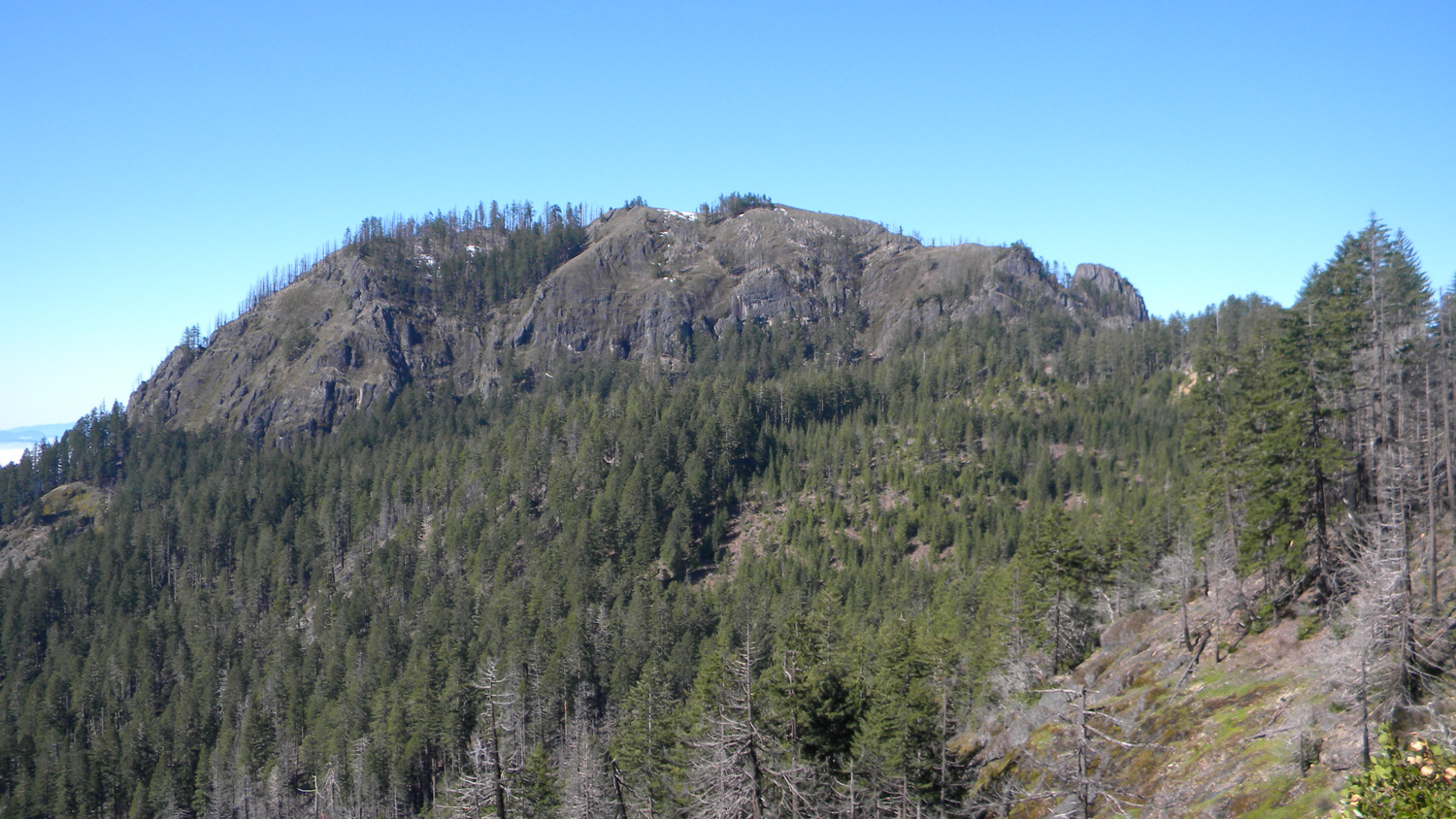
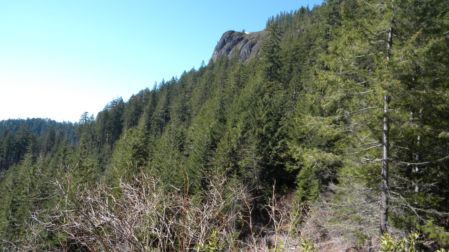
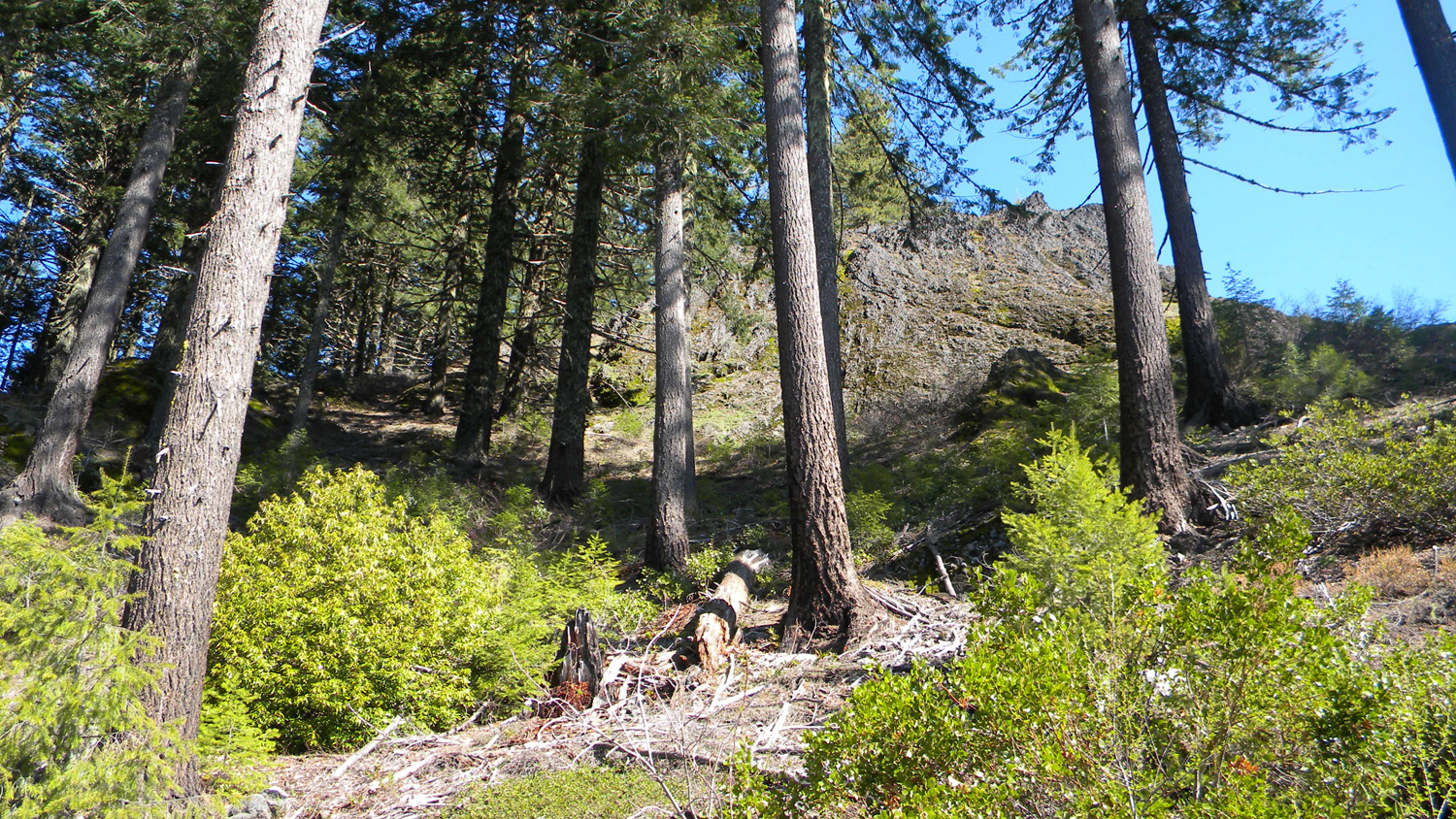
It contains portions of two of the study's Areas of Special Interest: the Quartz Mountain Area and the Alder Flats Area. The Quartz Mountain Area also contains the Quartz Mountain Fire Lookout, from which panoramic Osborne photographs were taken in 193XXX.
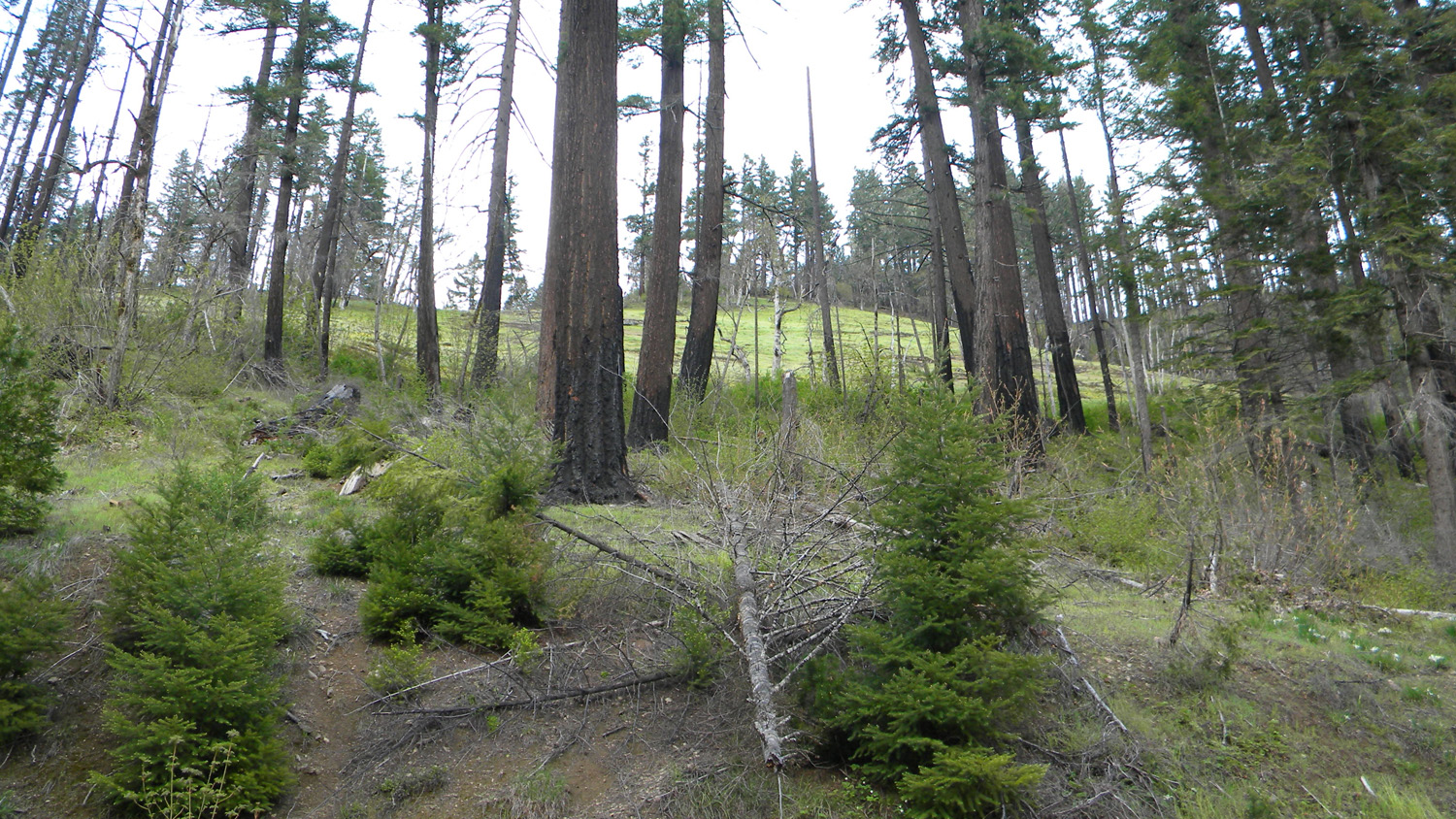
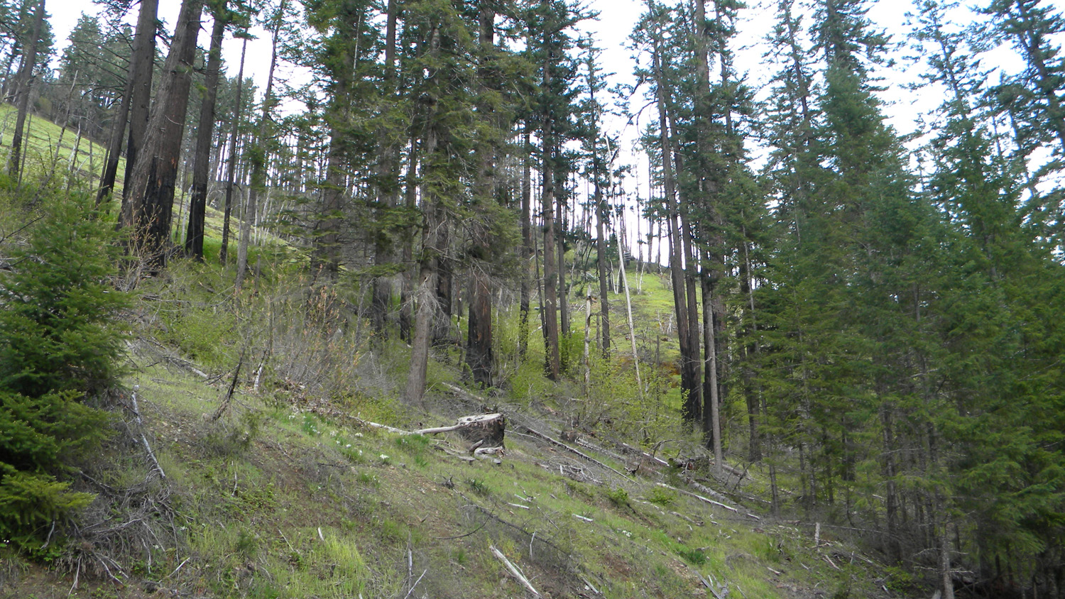
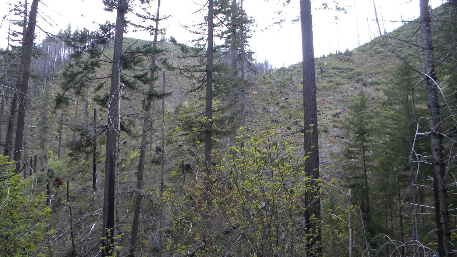
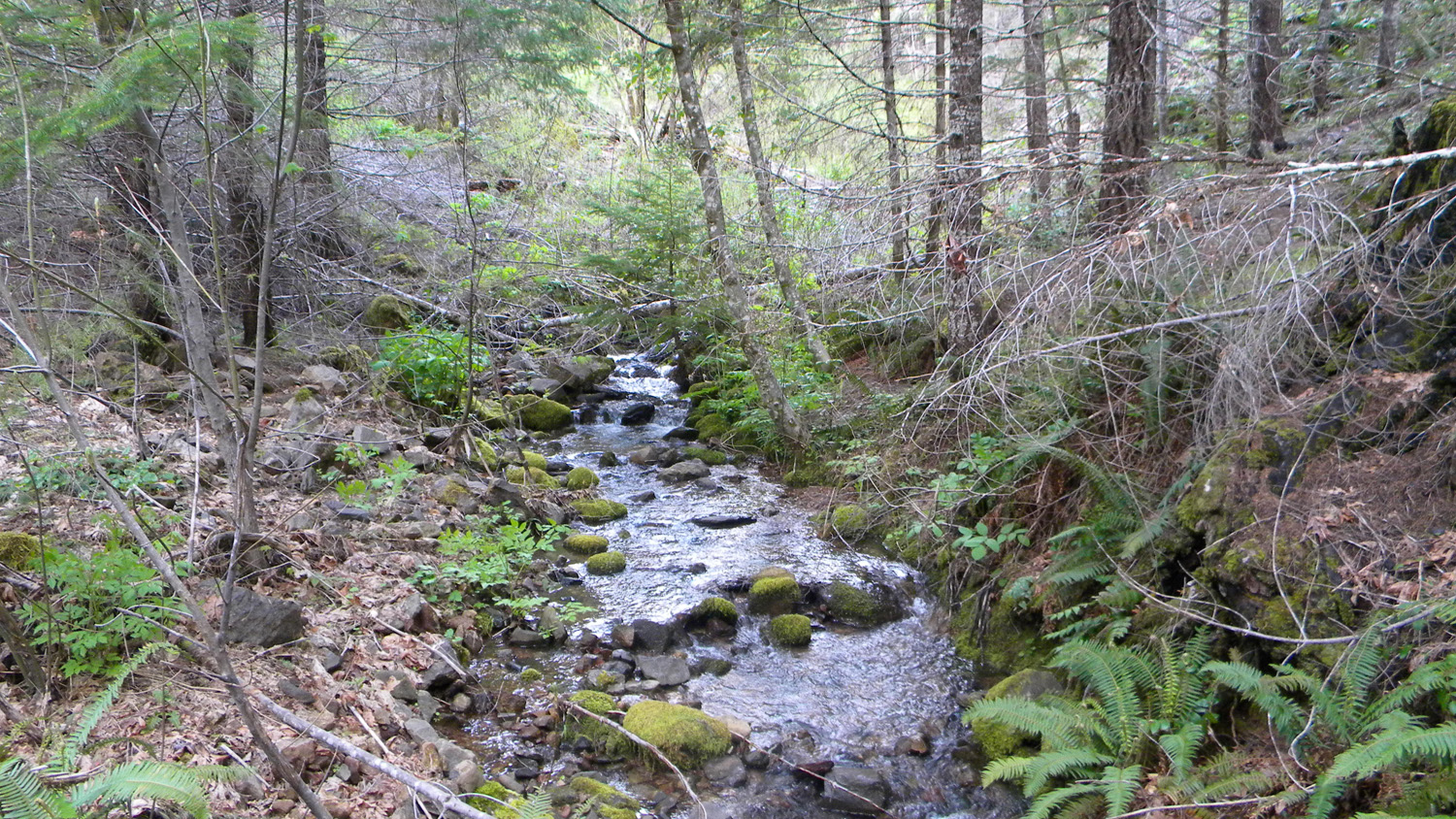
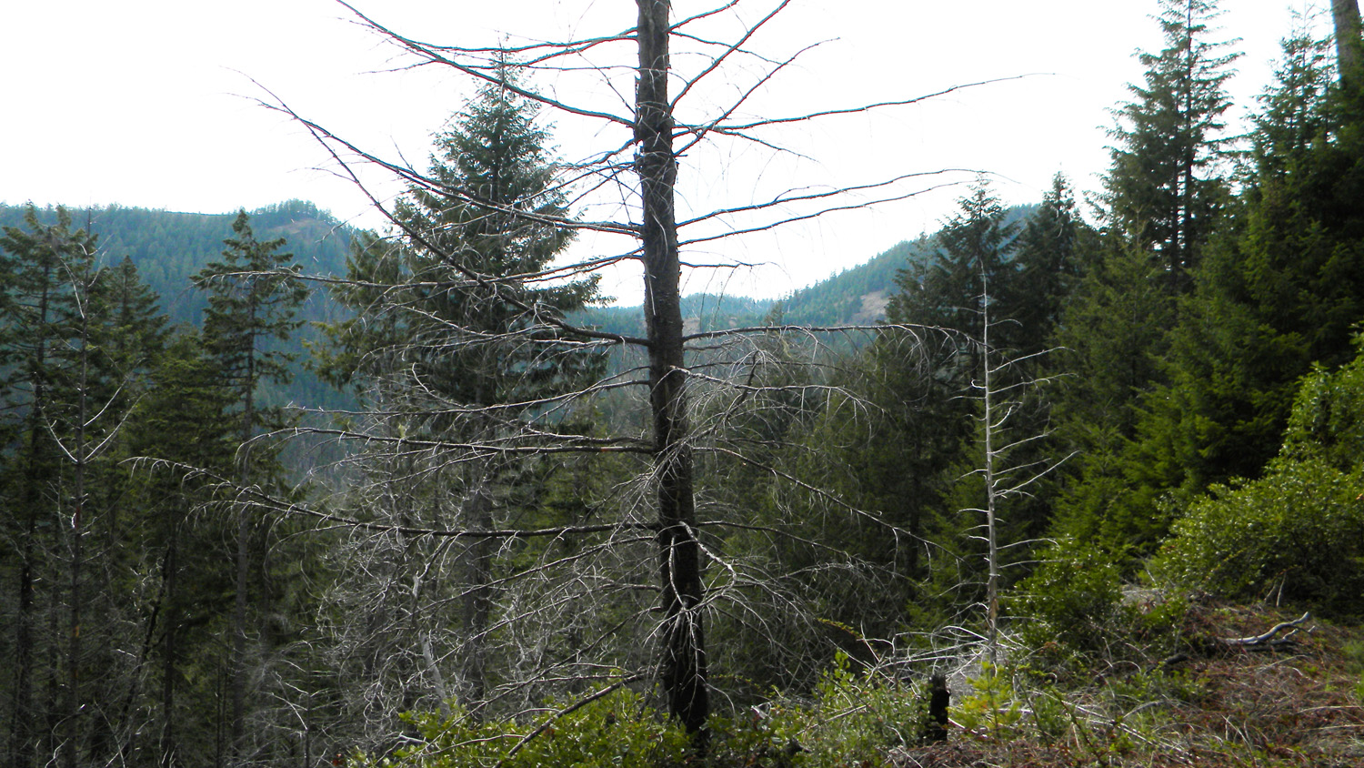
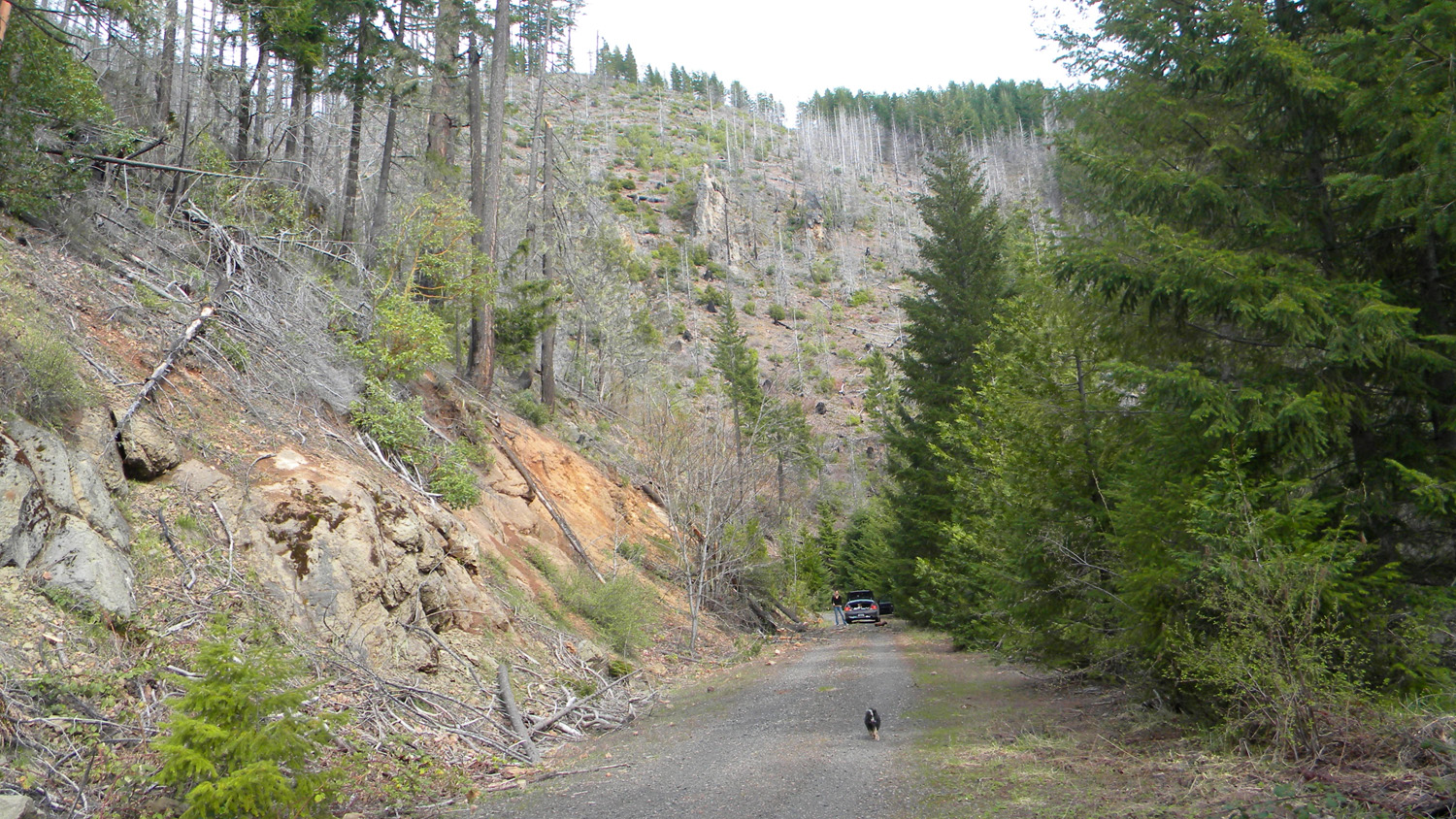
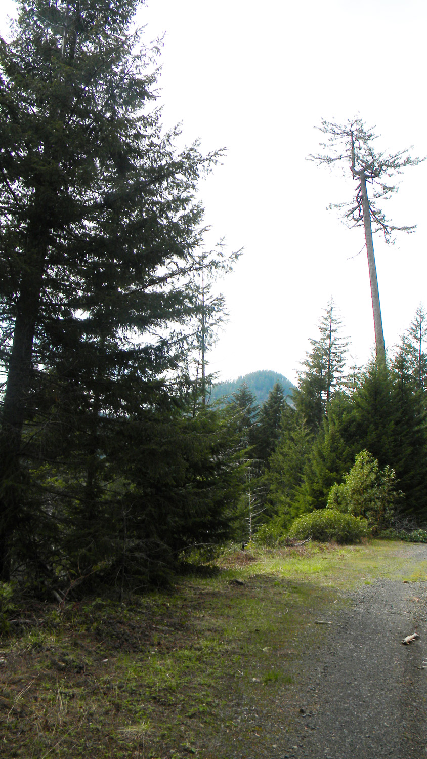
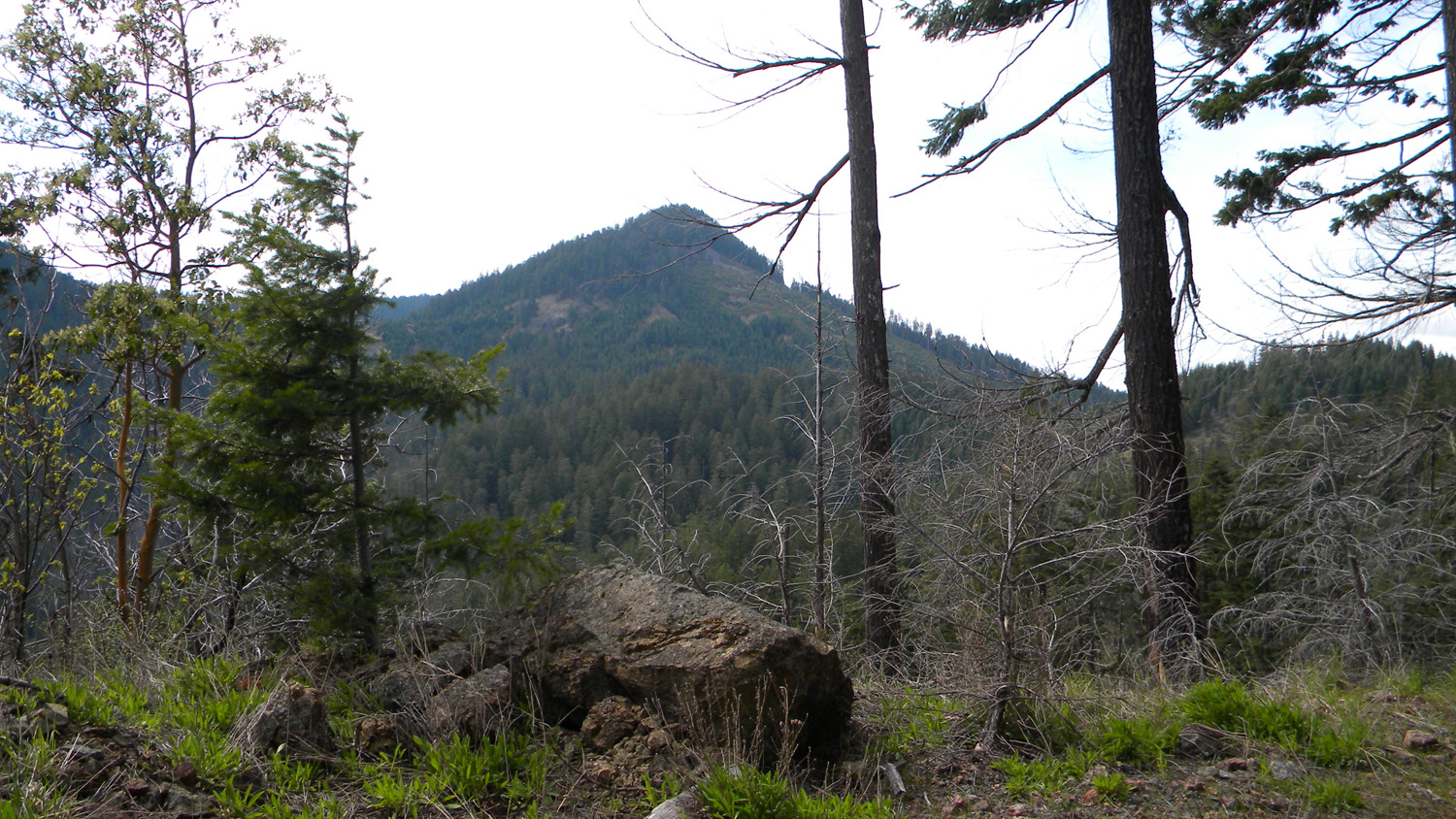
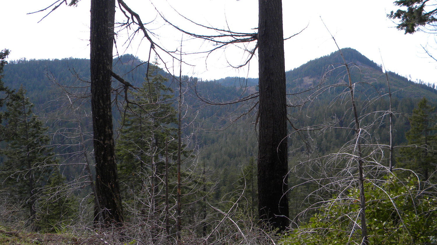
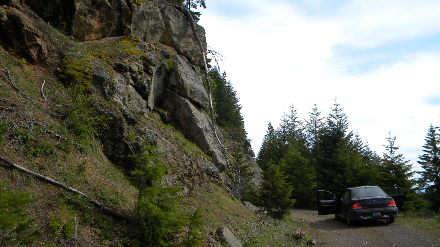
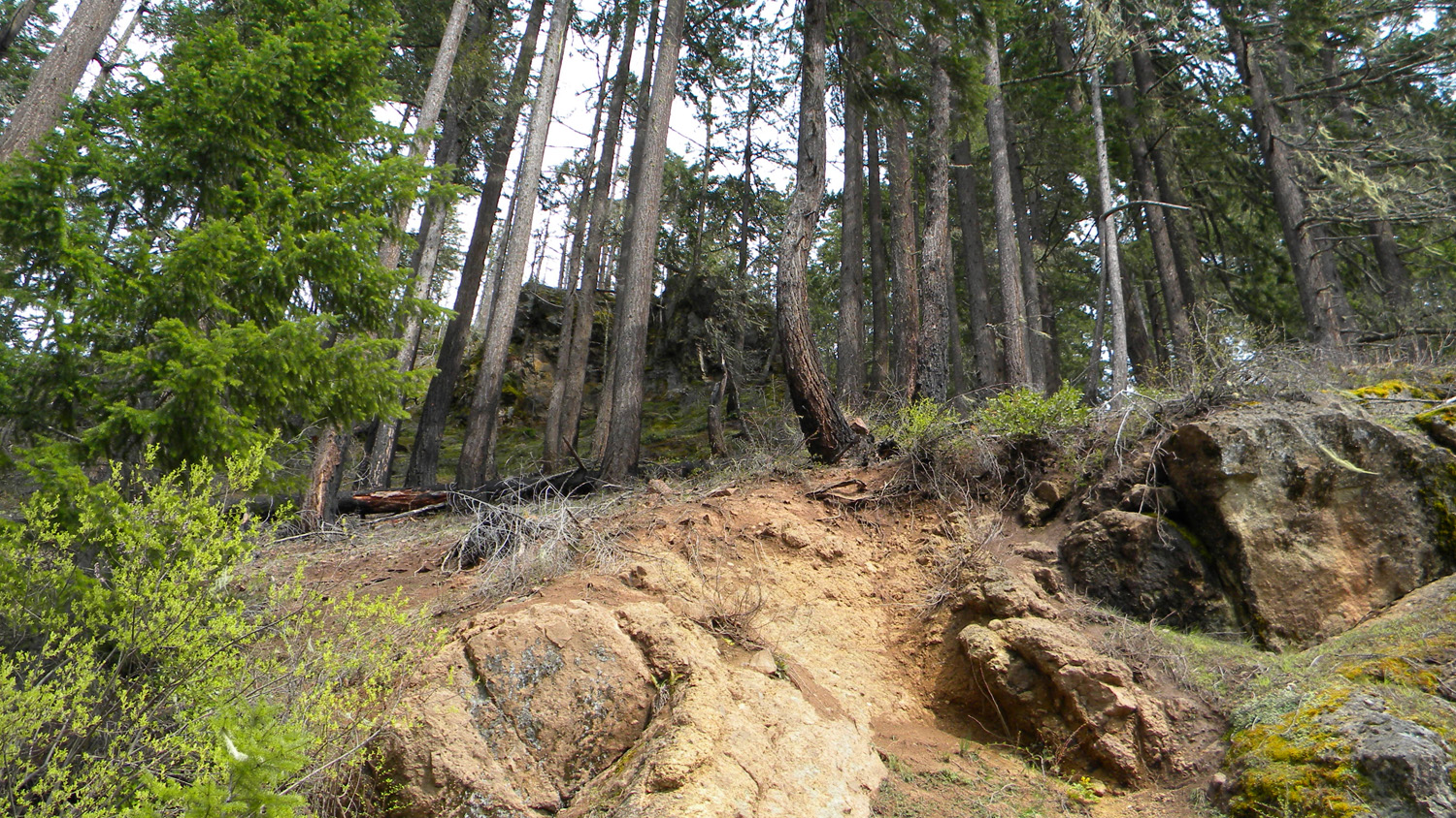
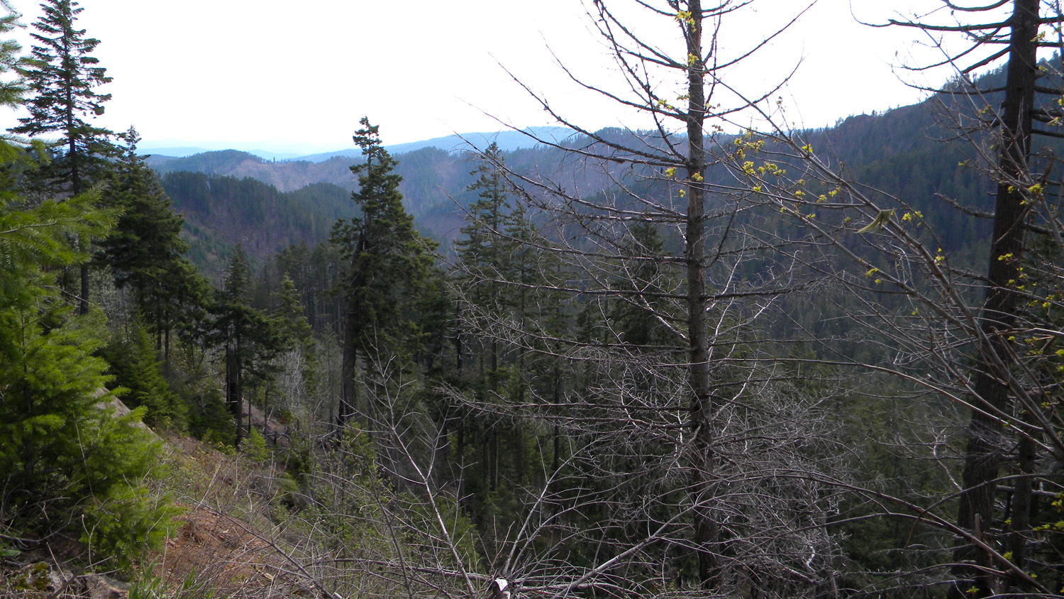
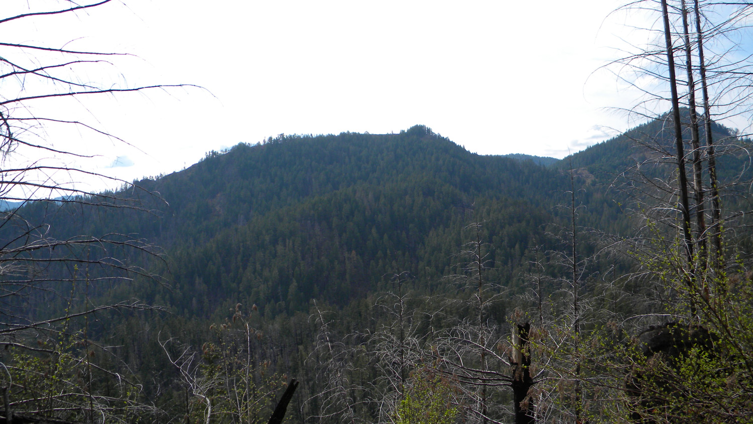
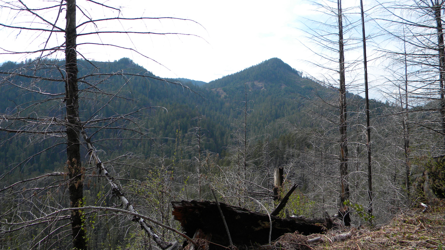
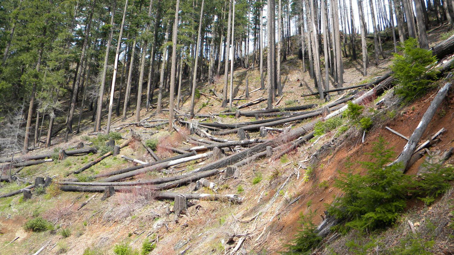
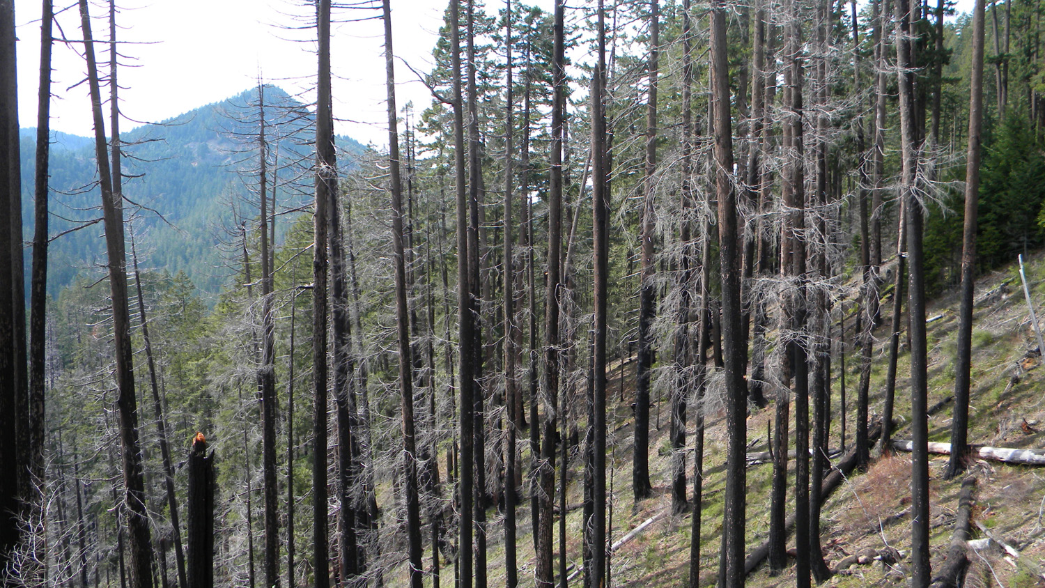
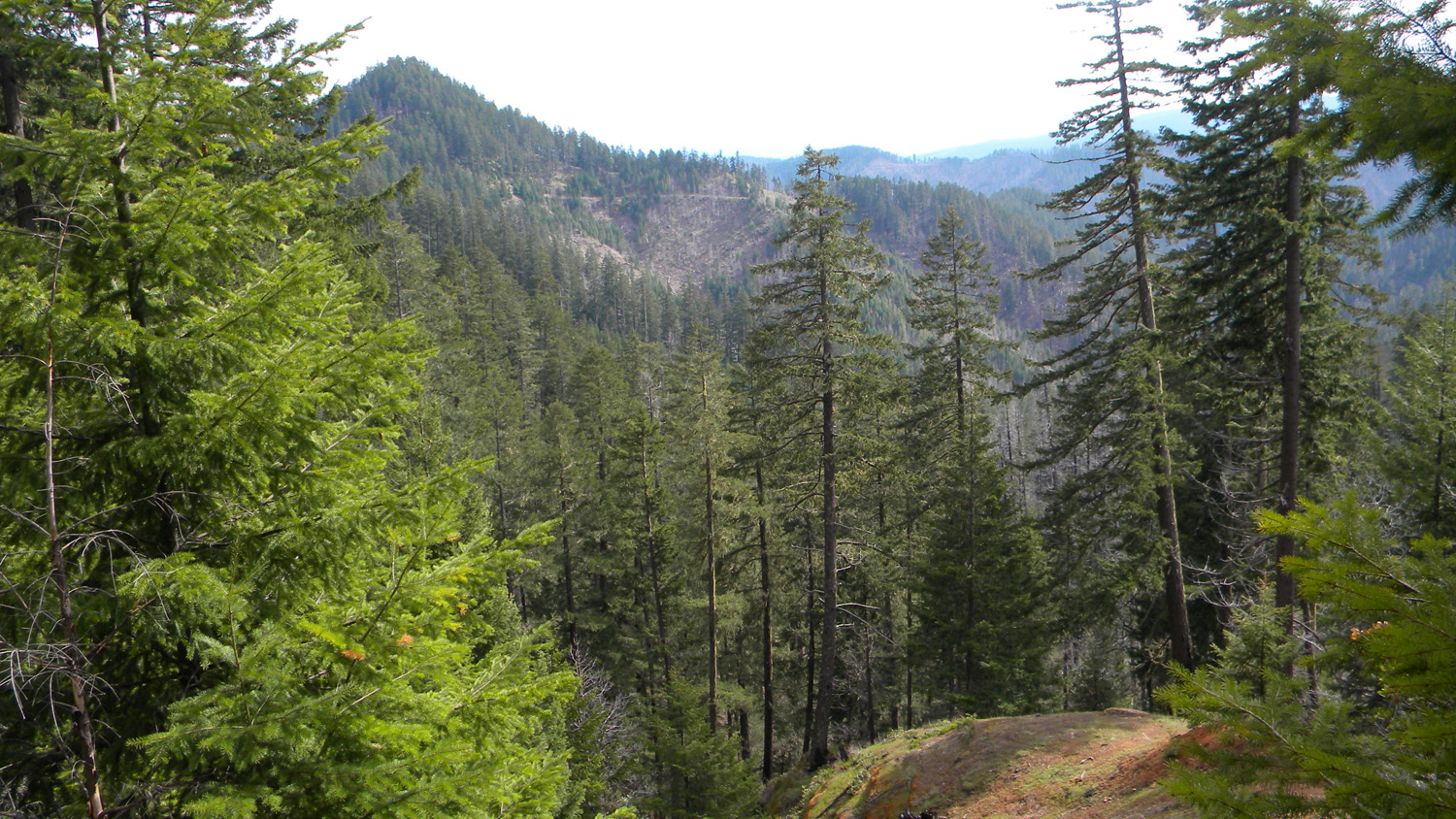
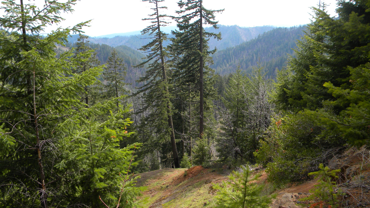
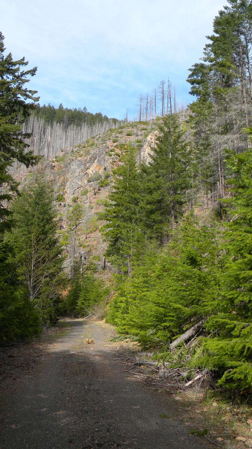
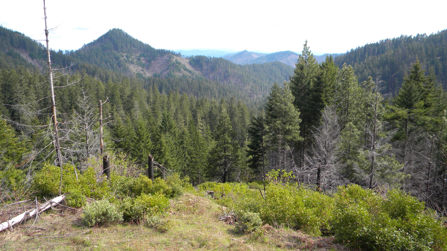
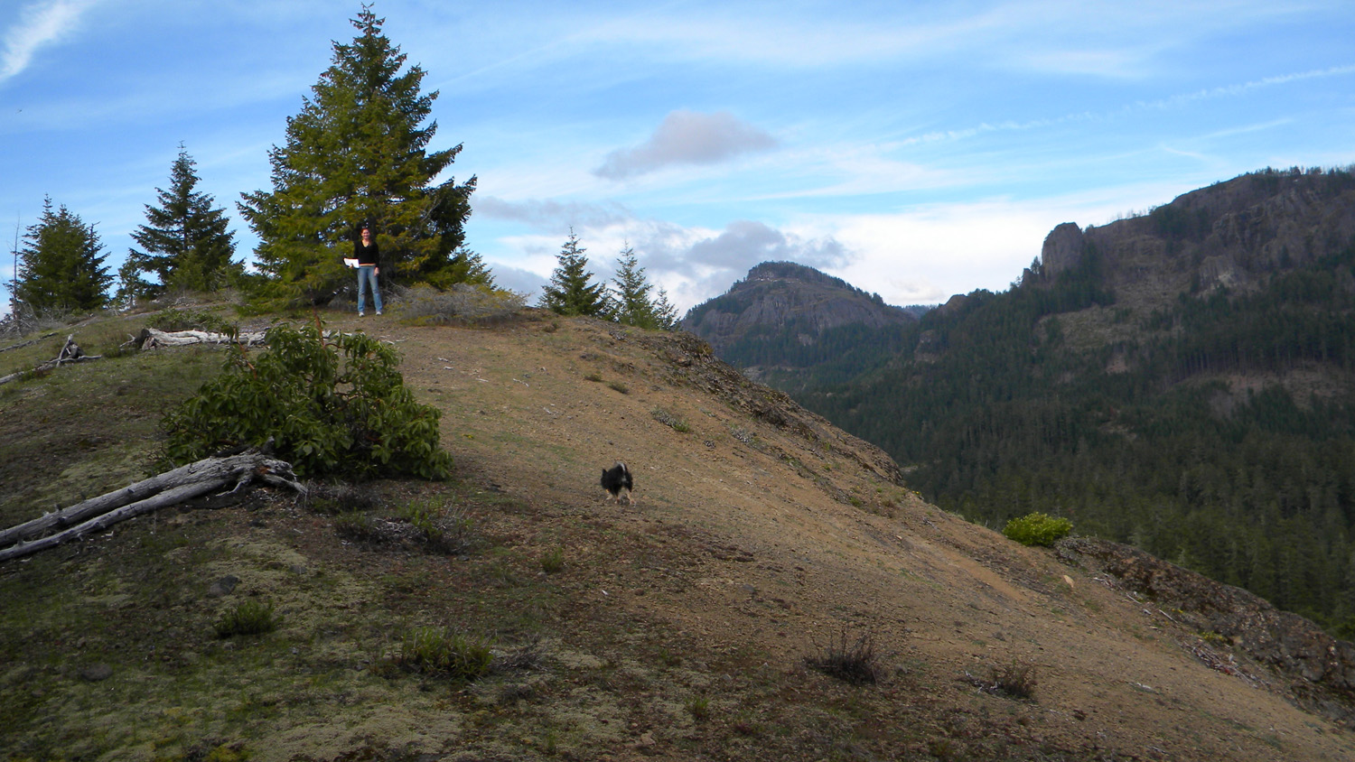
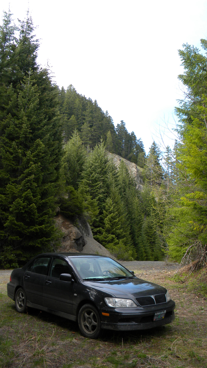
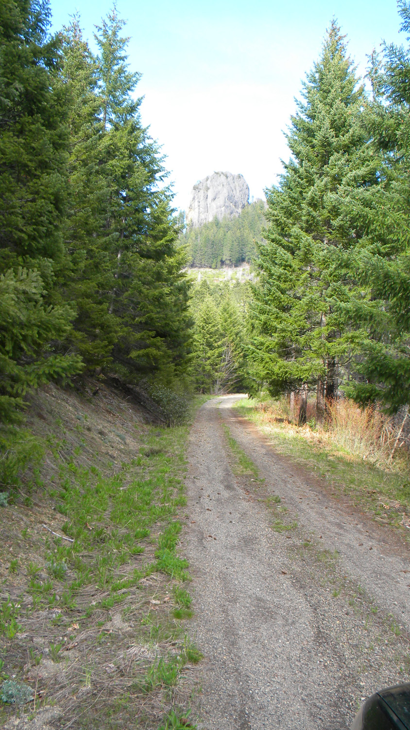
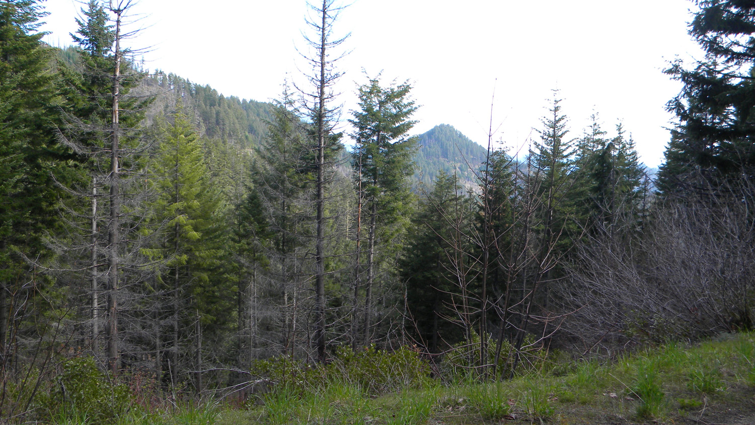
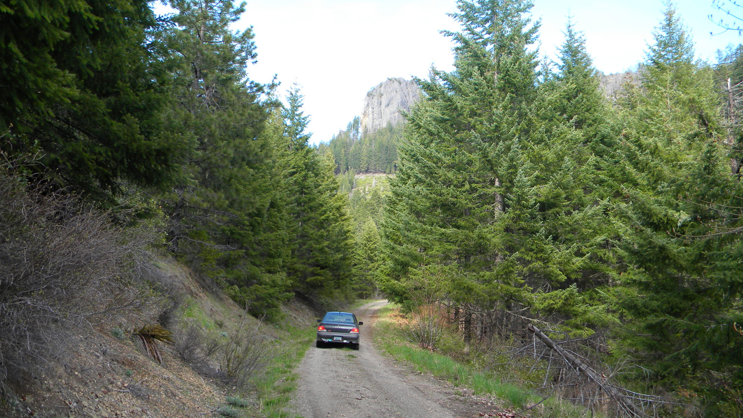
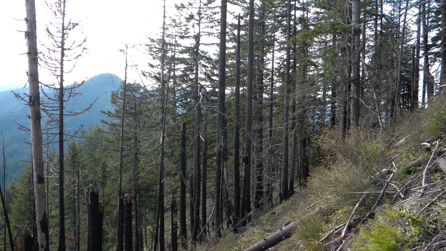
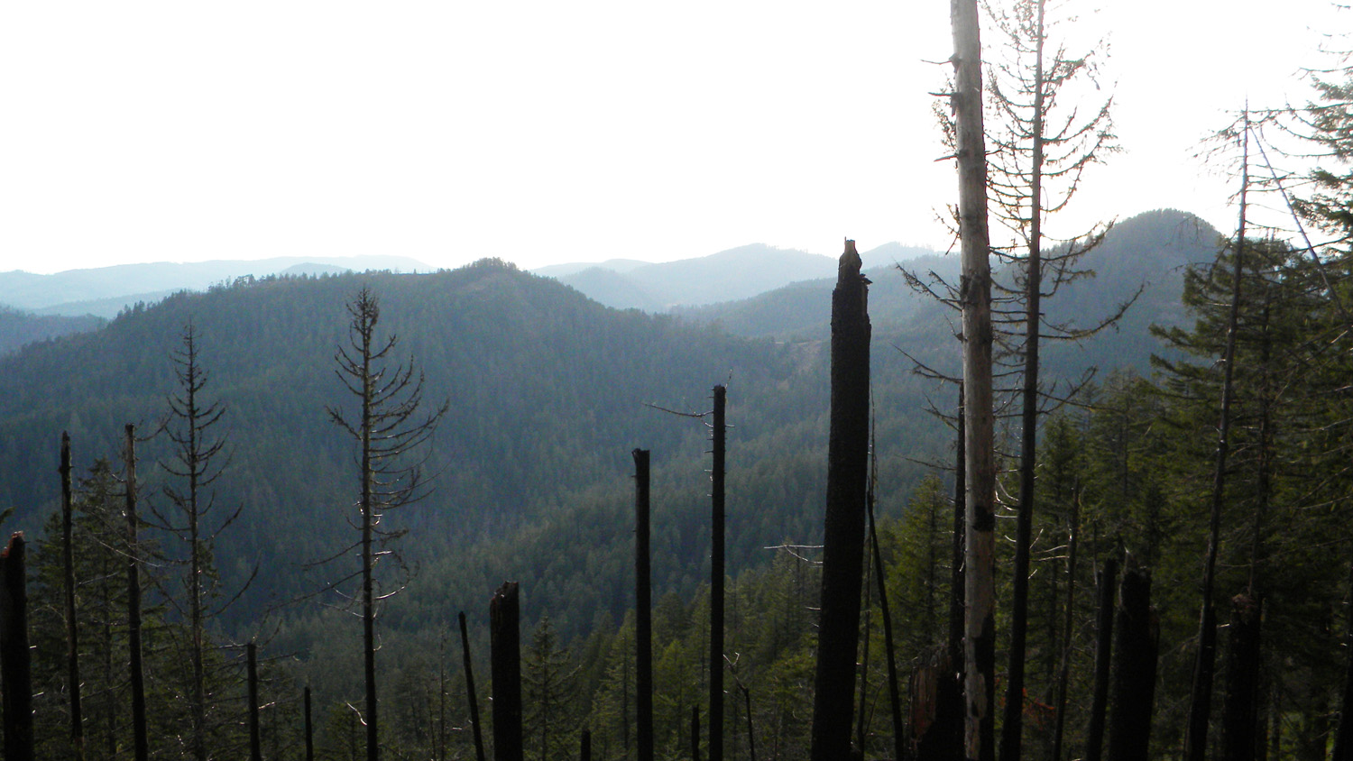
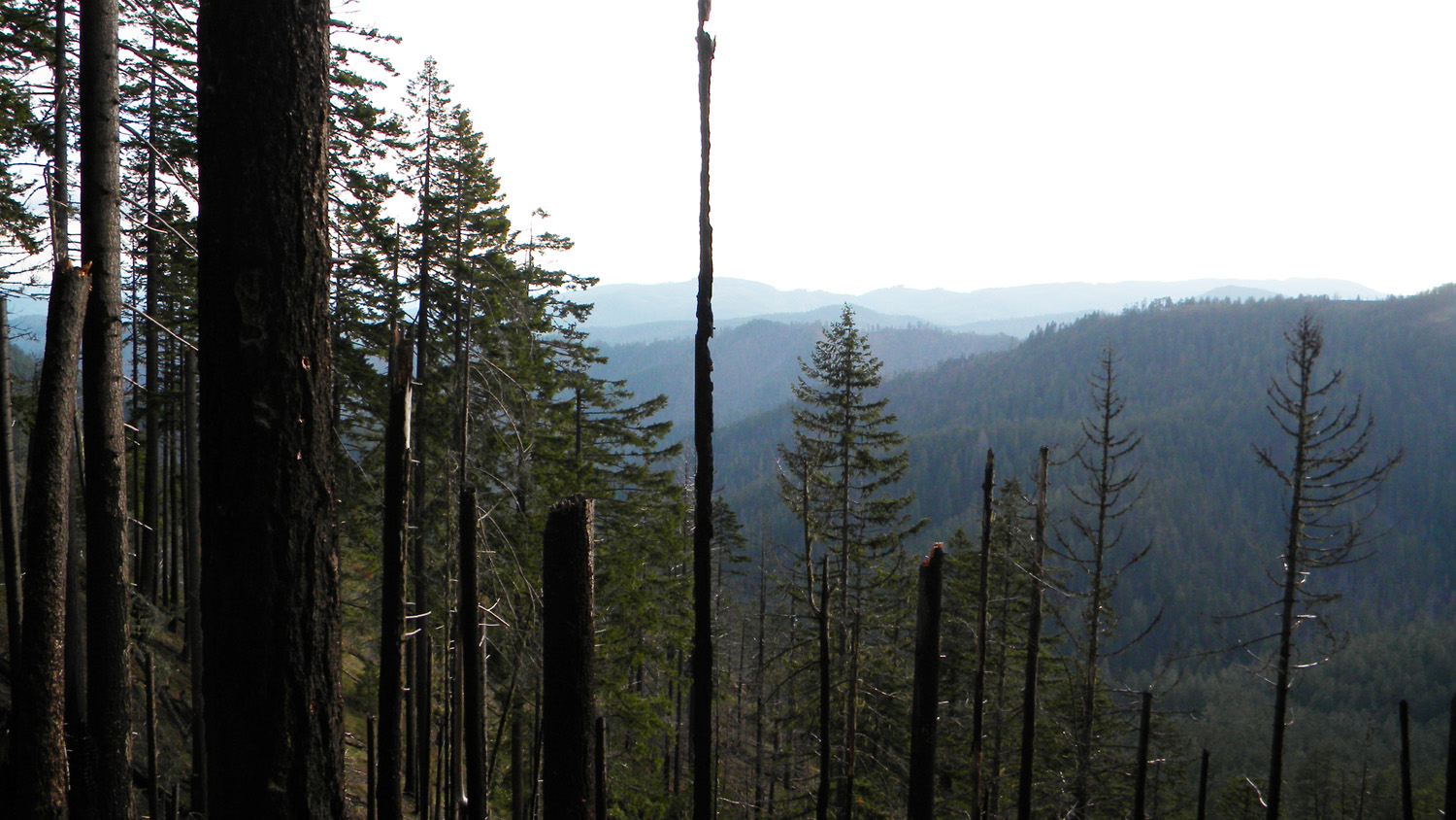
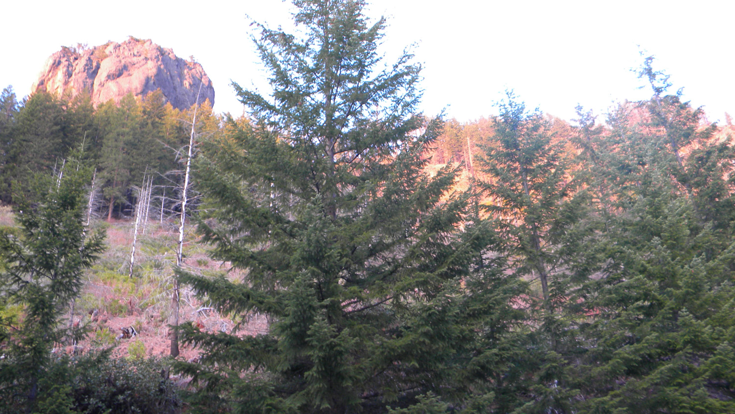
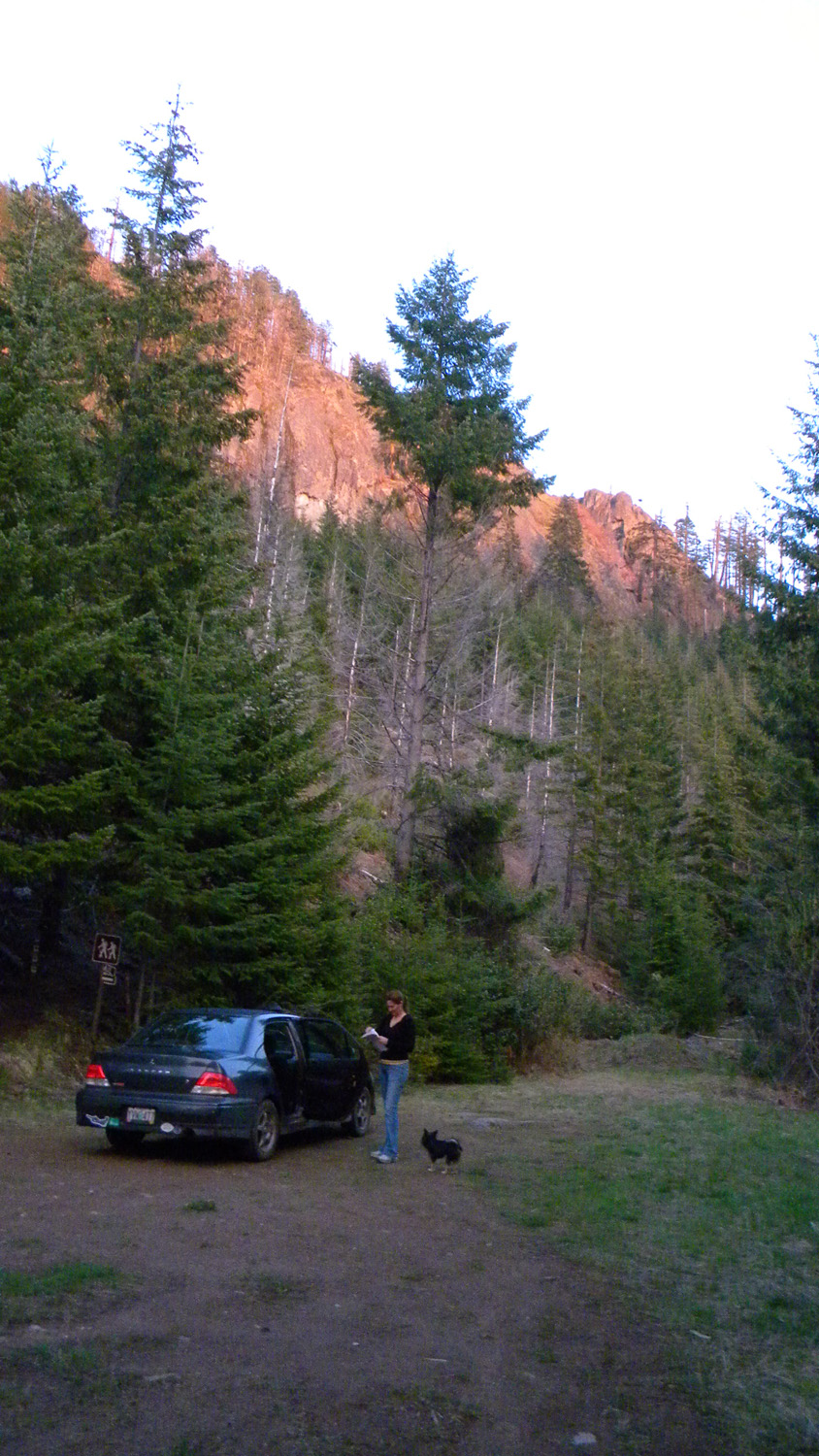
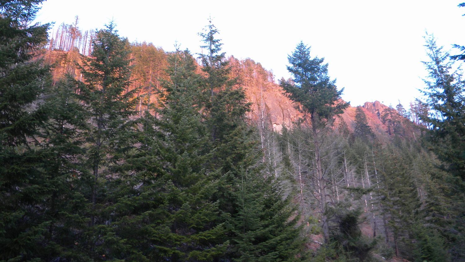
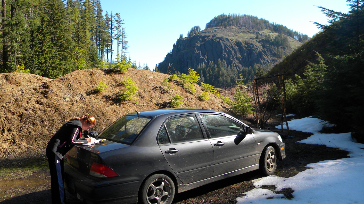
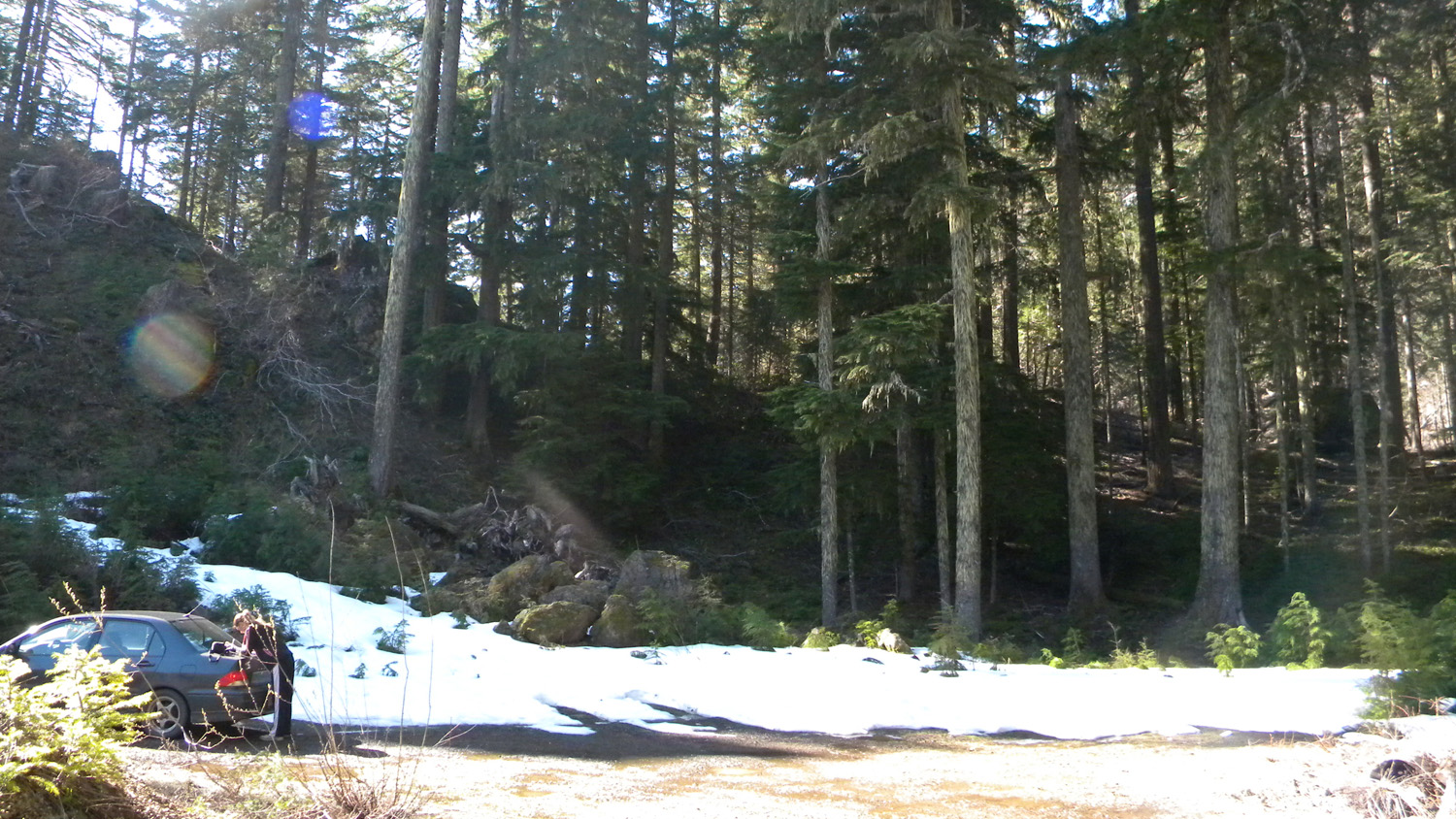
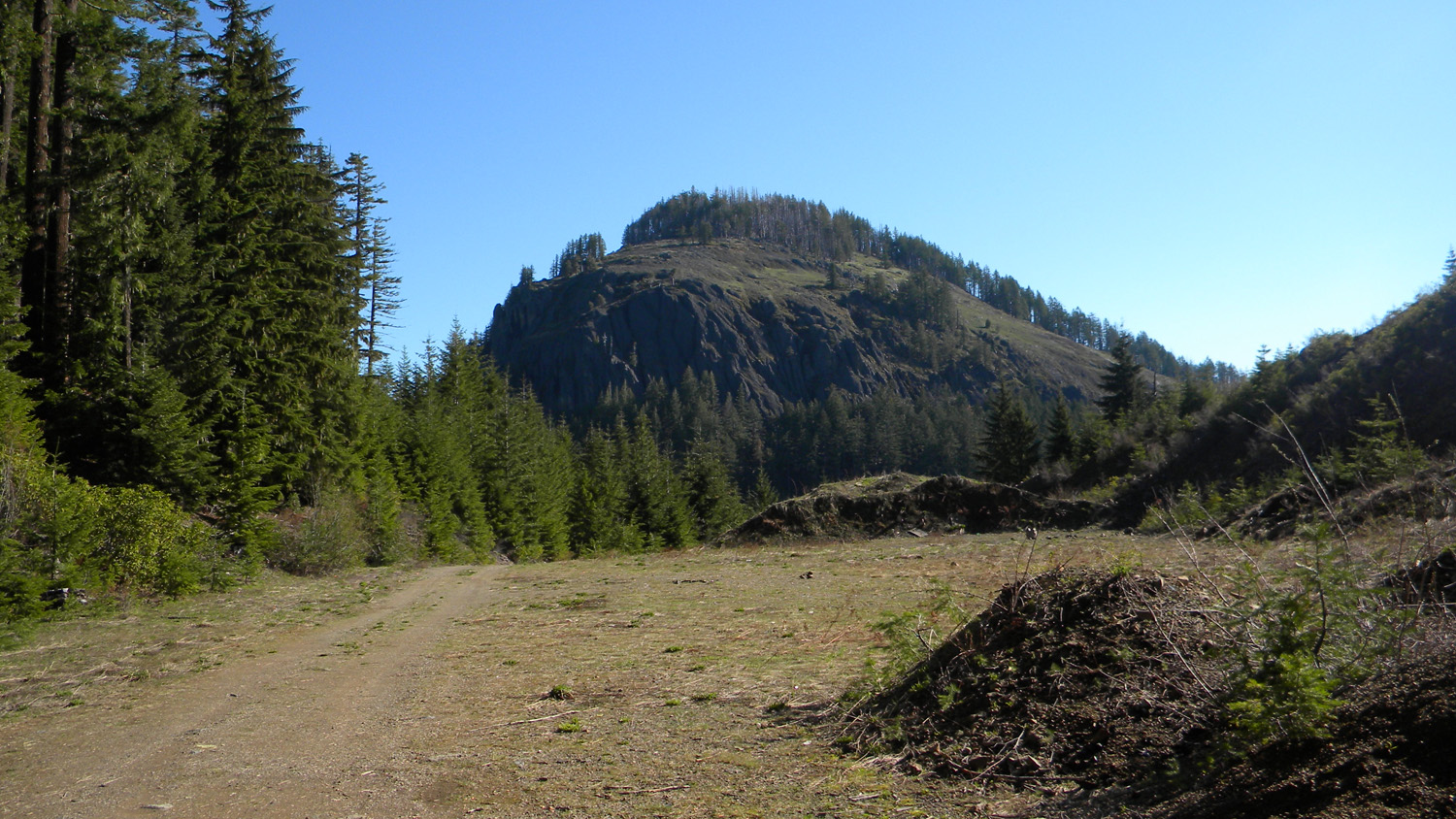
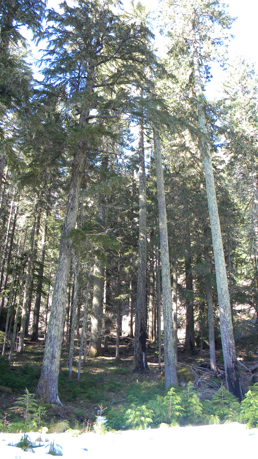
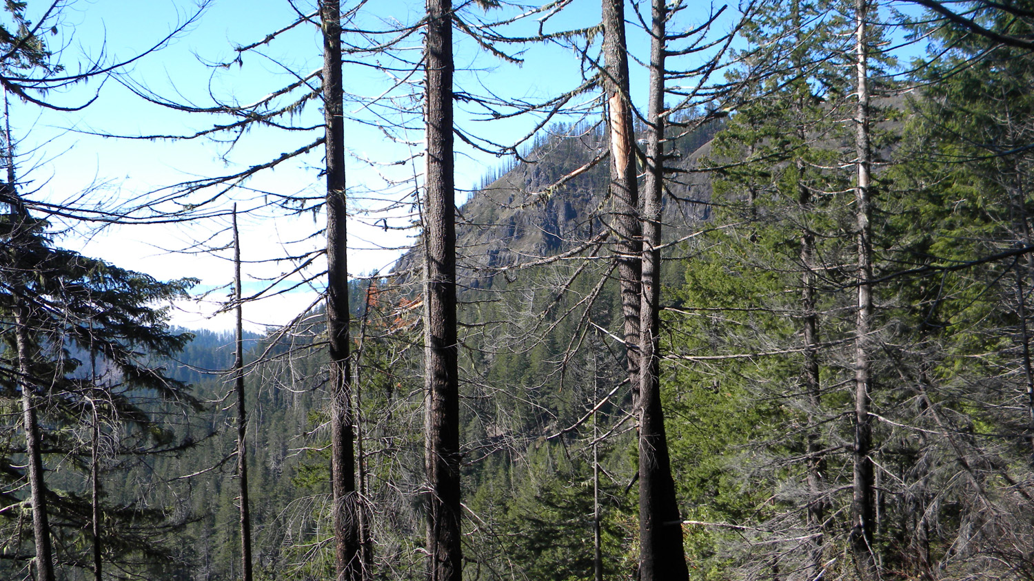
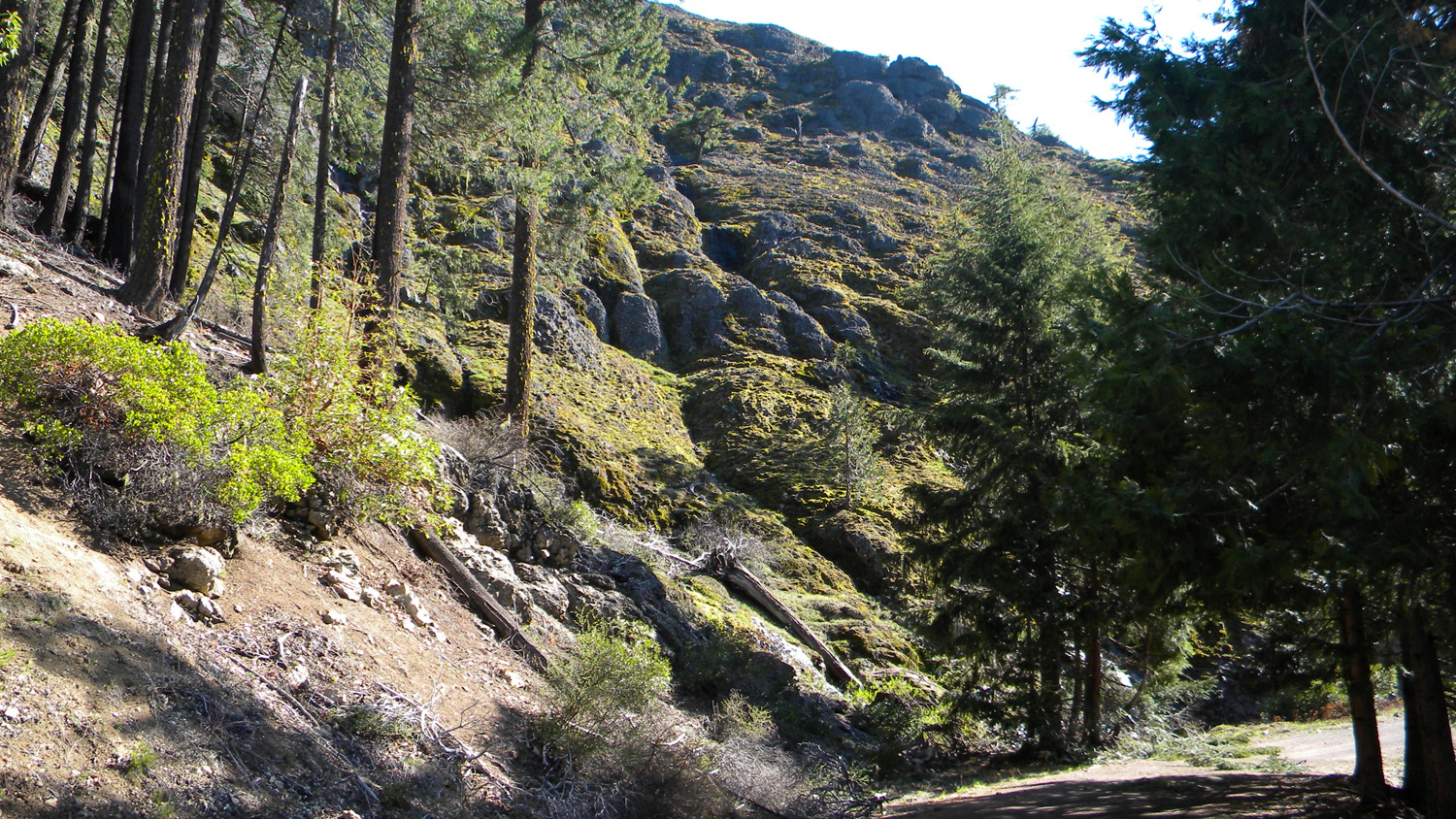
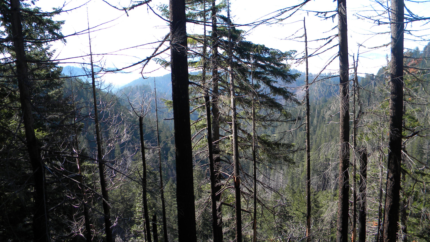
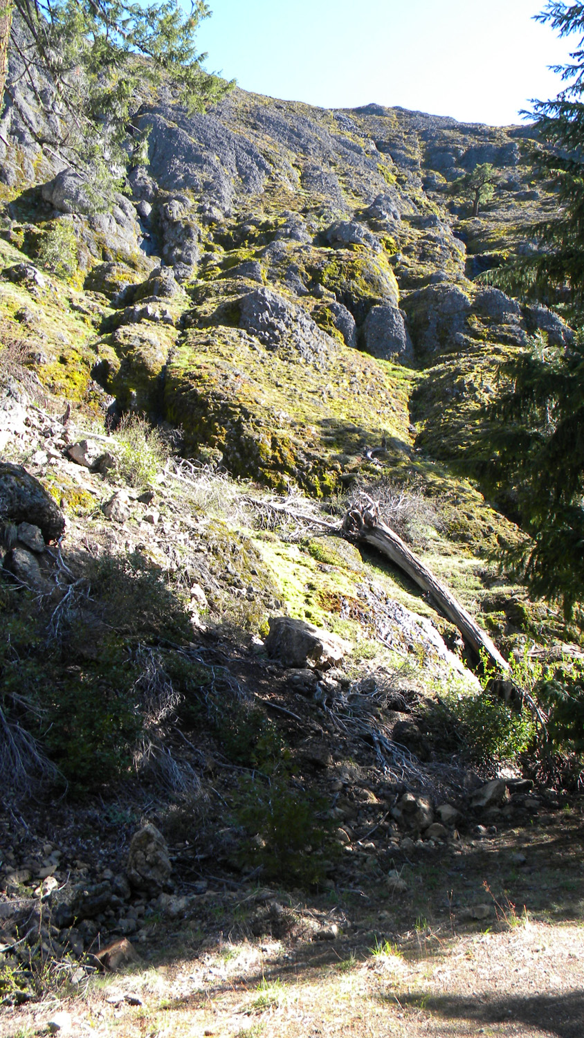
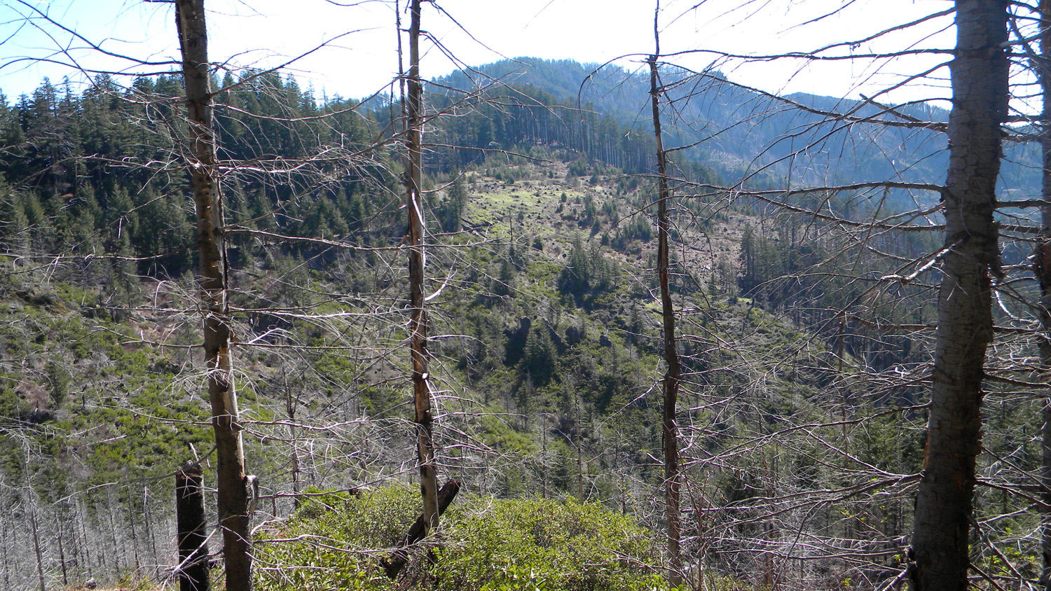
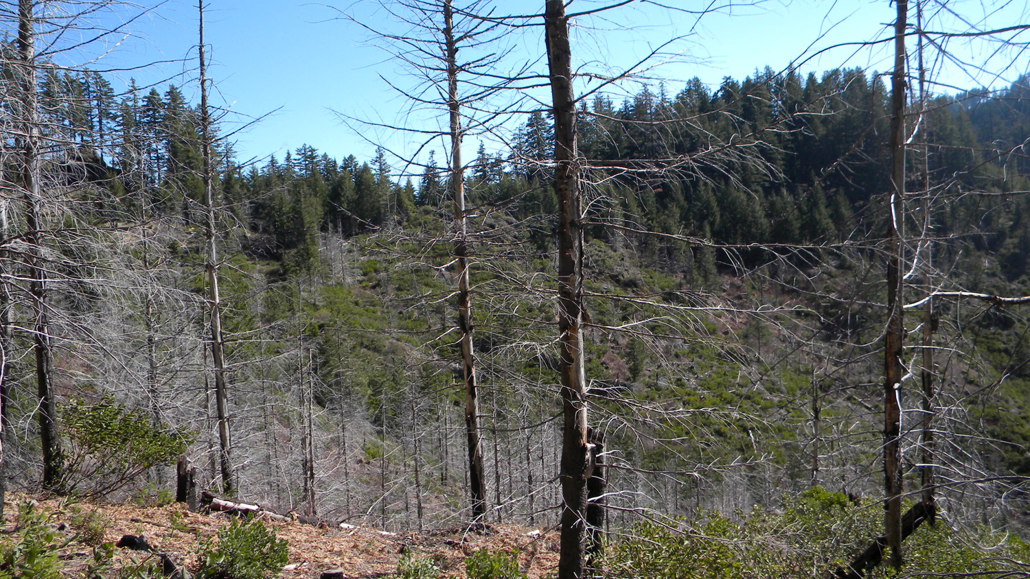
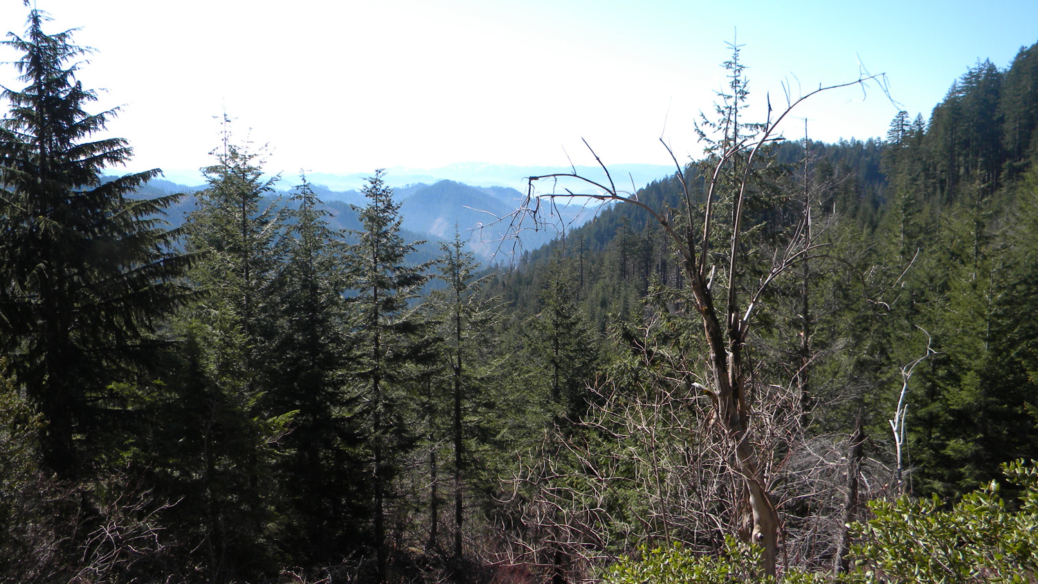
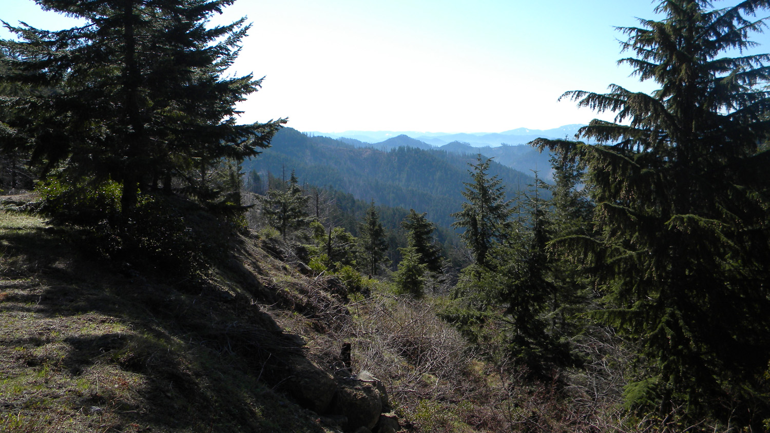
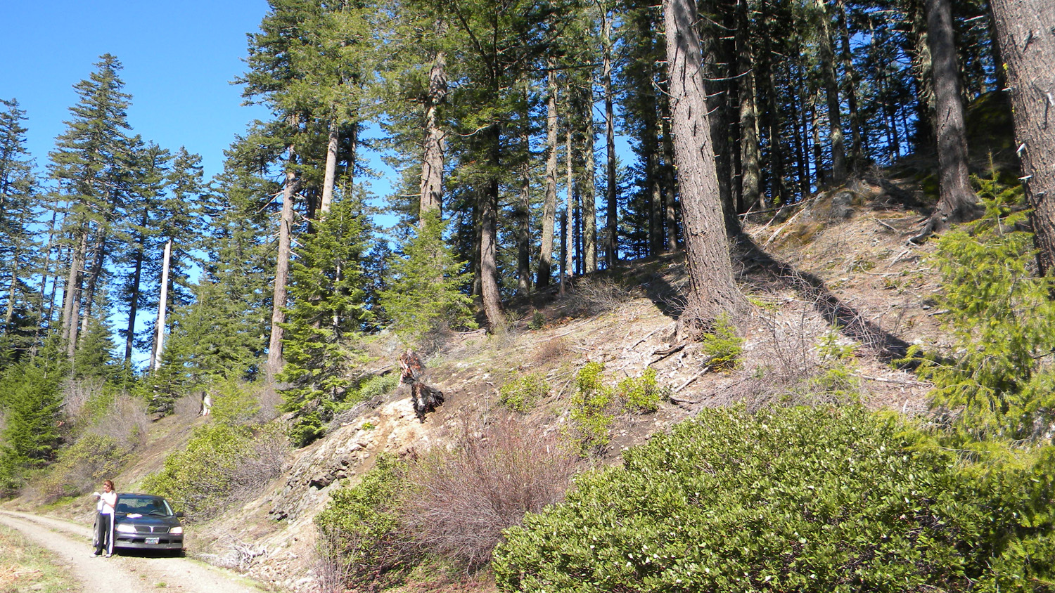
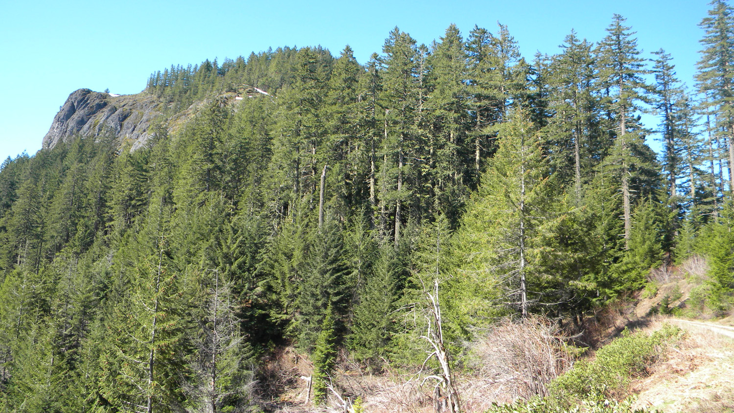
This page includes specific maps and aerial photographs of Pickett Butte, panoramas and QTVR video files constructed from the 2010 field research studies, and individual historical and 2010 documentary photographs showing current condtions, native plants and animals, and other points of interest related to this study area.
 |
 |
|||
1928 GLO
|
1932 Metsker
|
Panoramas and QTVRs
2249-2257_Road_View-360
|
||
2267-2276_540_Road_View-360 |
||
2280-2284_820_Road_View-180 |
||
2285-2293_Burn-360 |
||
2300-2306_Squaw_Mountain-180 |
||
2308-2317_Squaw_Mountain-360 |
||
2331-2338_Squaw_Mountain-180 |
||
2364-2369_Black_Butte-180 |
||
180 |
||
180 |
 |
 |
 |
 |
 |
2213_Meadow
|
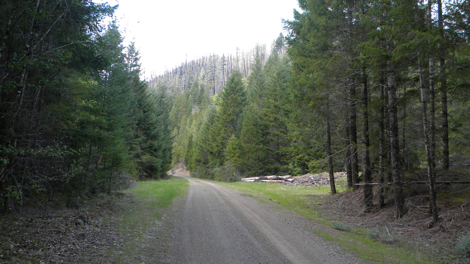
2214_2719_Road
|
2215_2719_Road_View
|
2216_Slick_Creek
|
2217_2719_Road
|
 |
 |
 |
 |
|
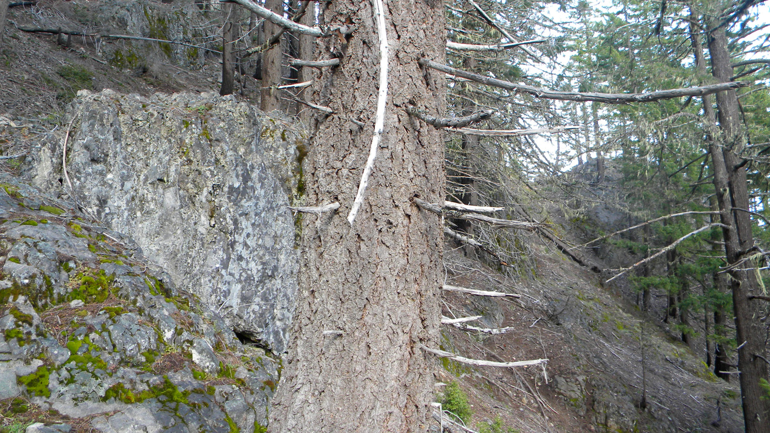
2218_Slick_Creek_Rock
|
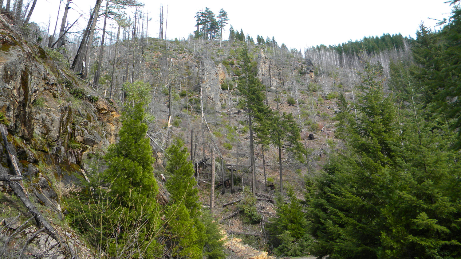
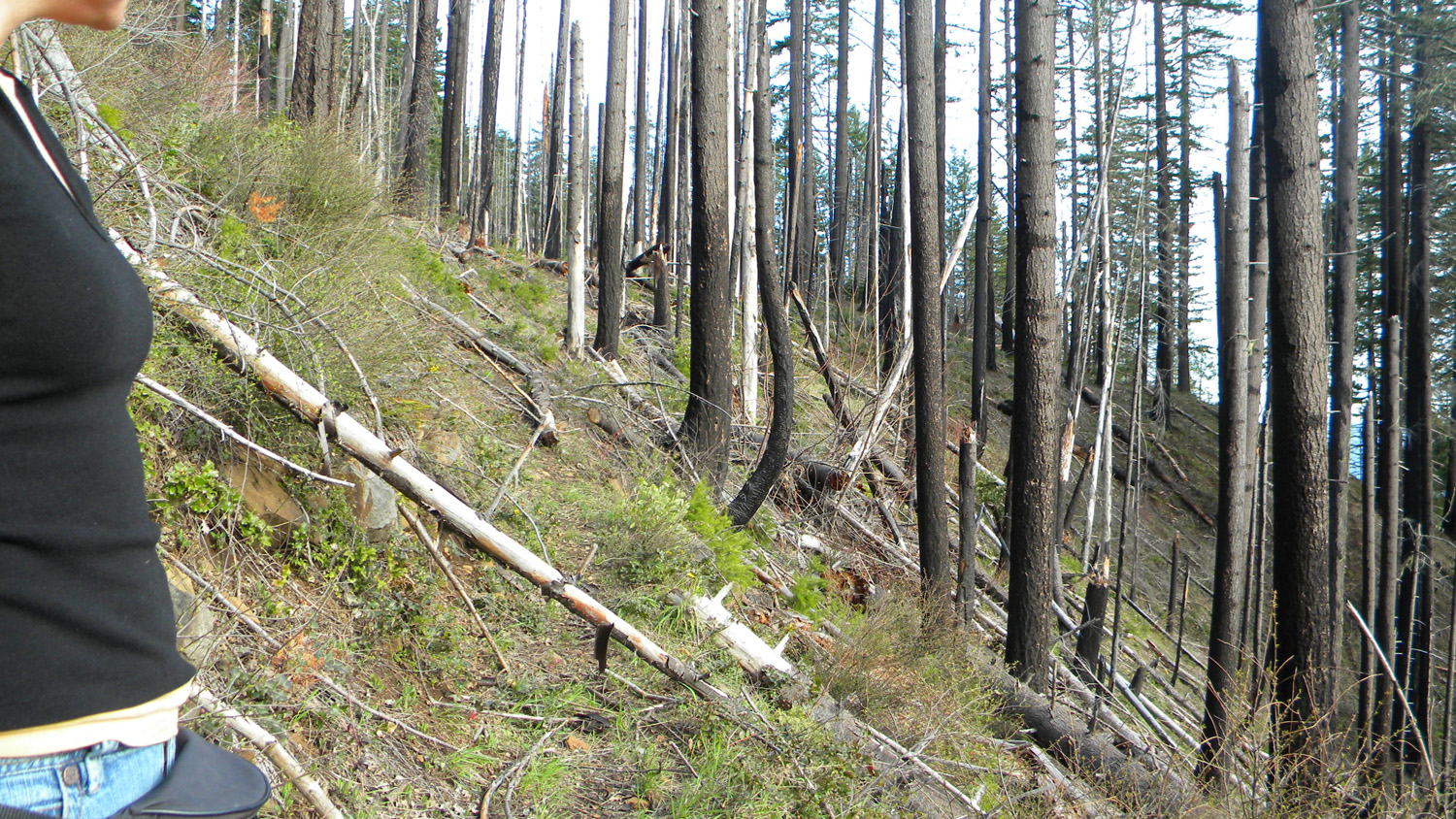
2219_Clearcut_and_Burn
|
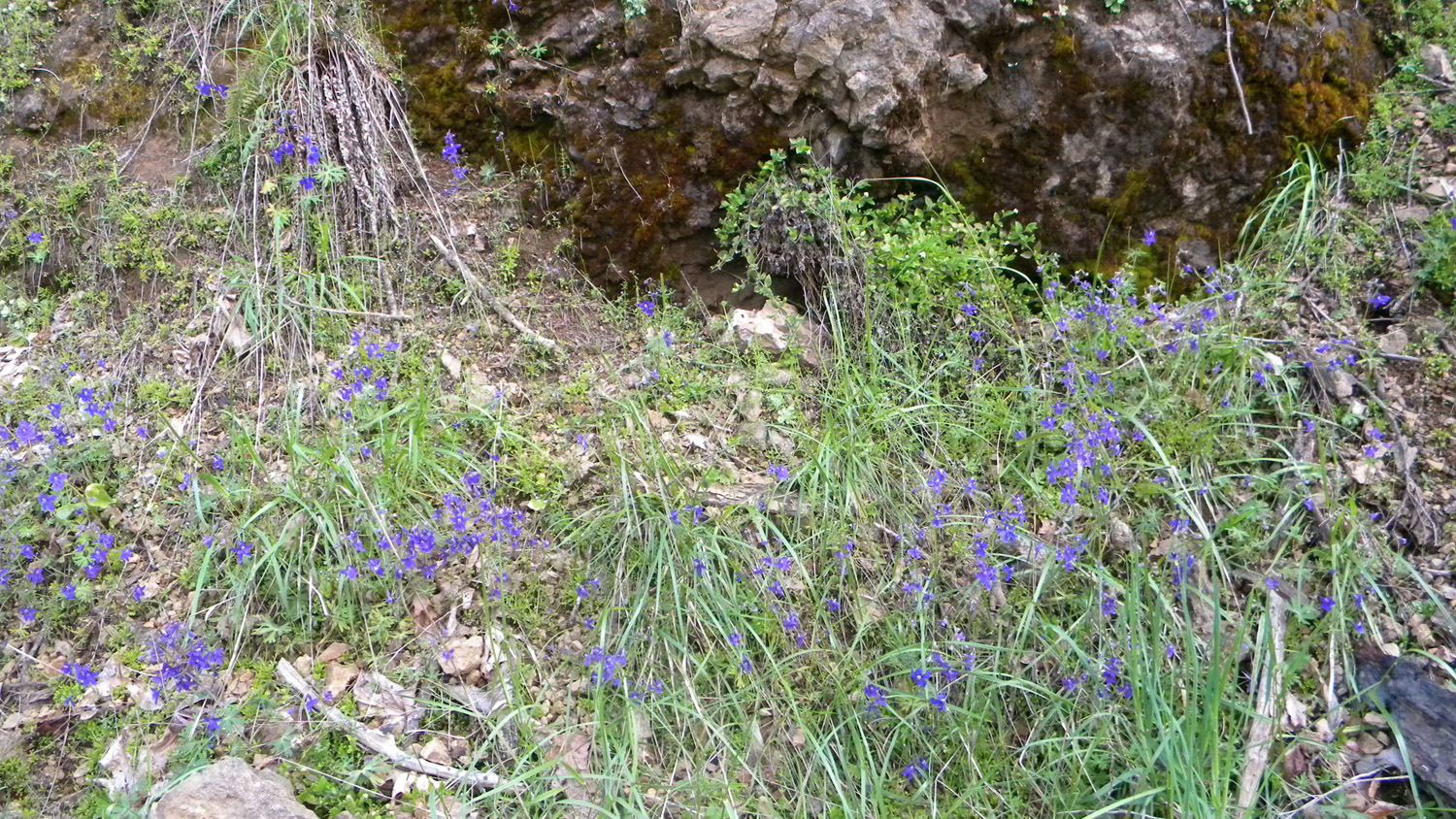
2220_Bleeding_Hearts
|
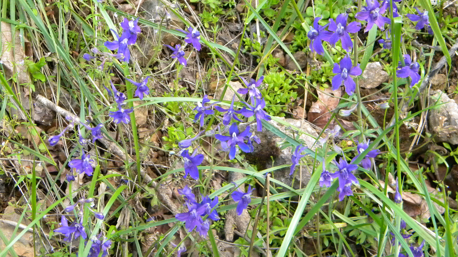
2221_Larkspur
|
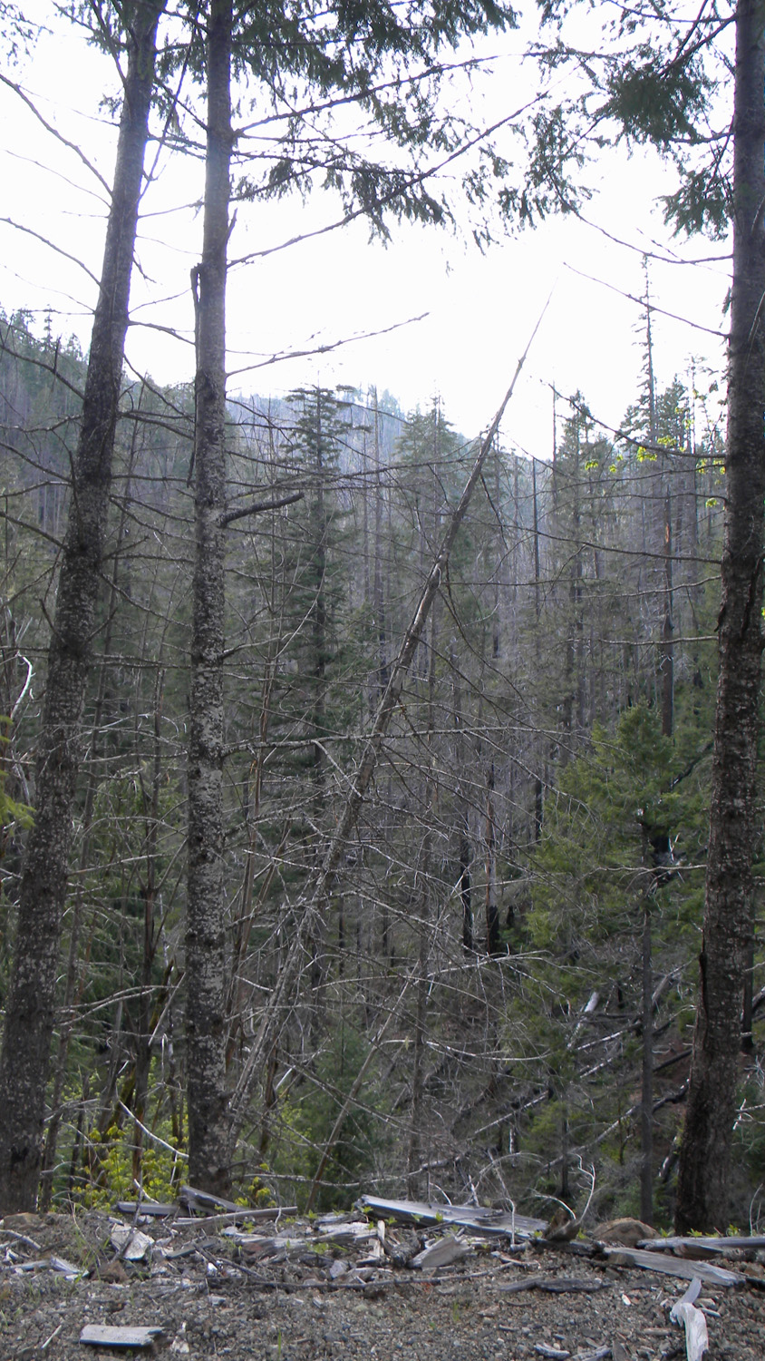
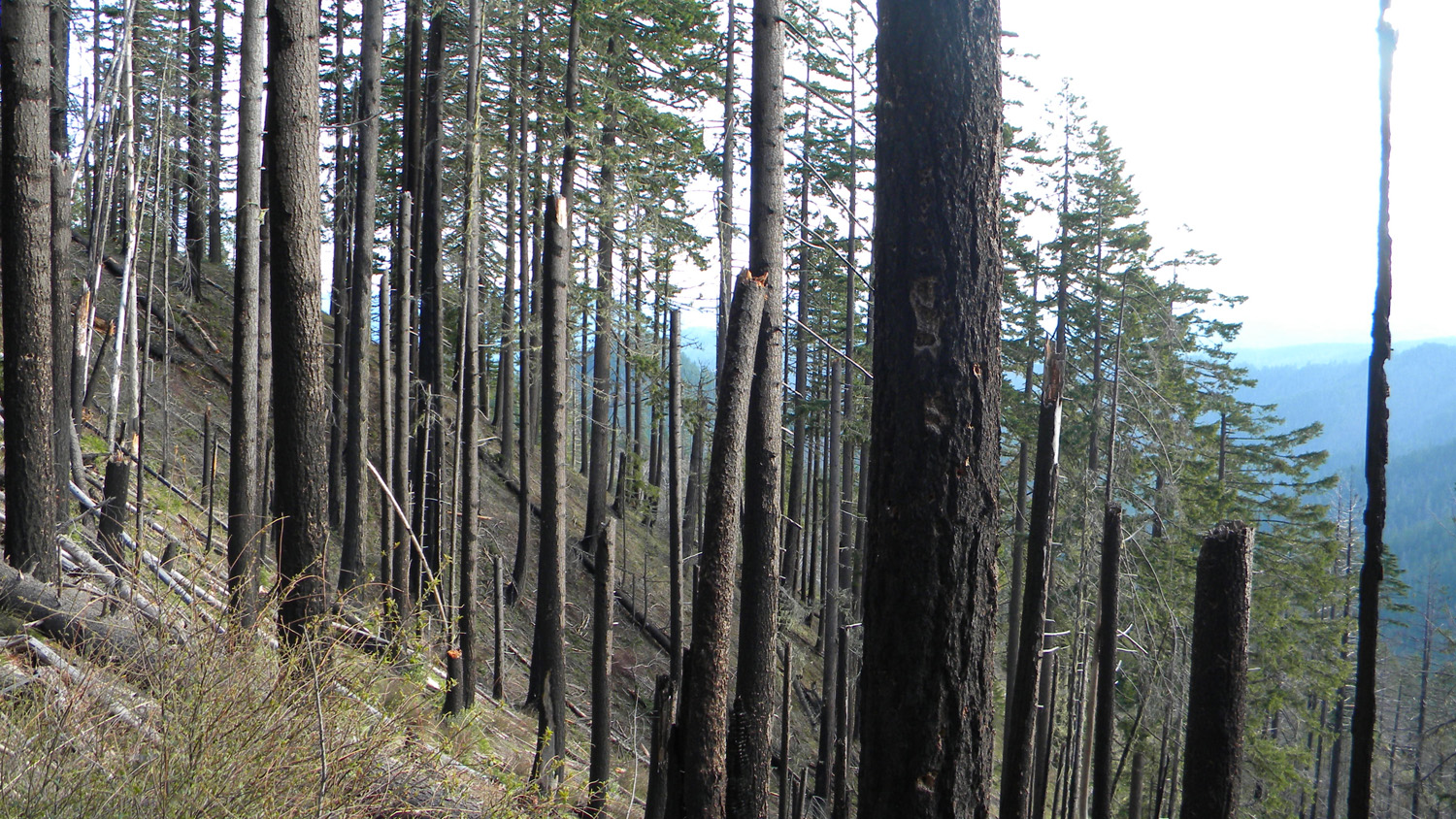
2222_Burned_Trees
|
 |
 |
 |
 |
 |
2223_Larkspur
|
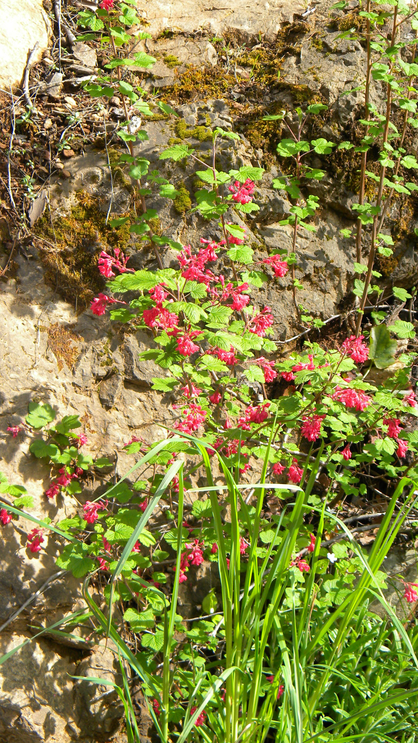
2224_Flowering_Currant
|
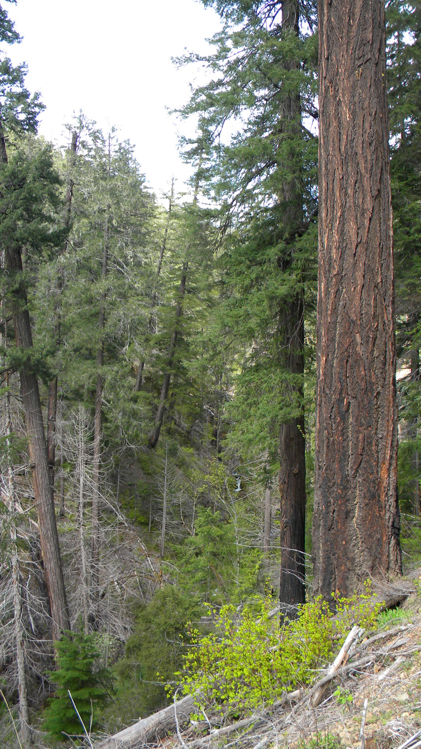
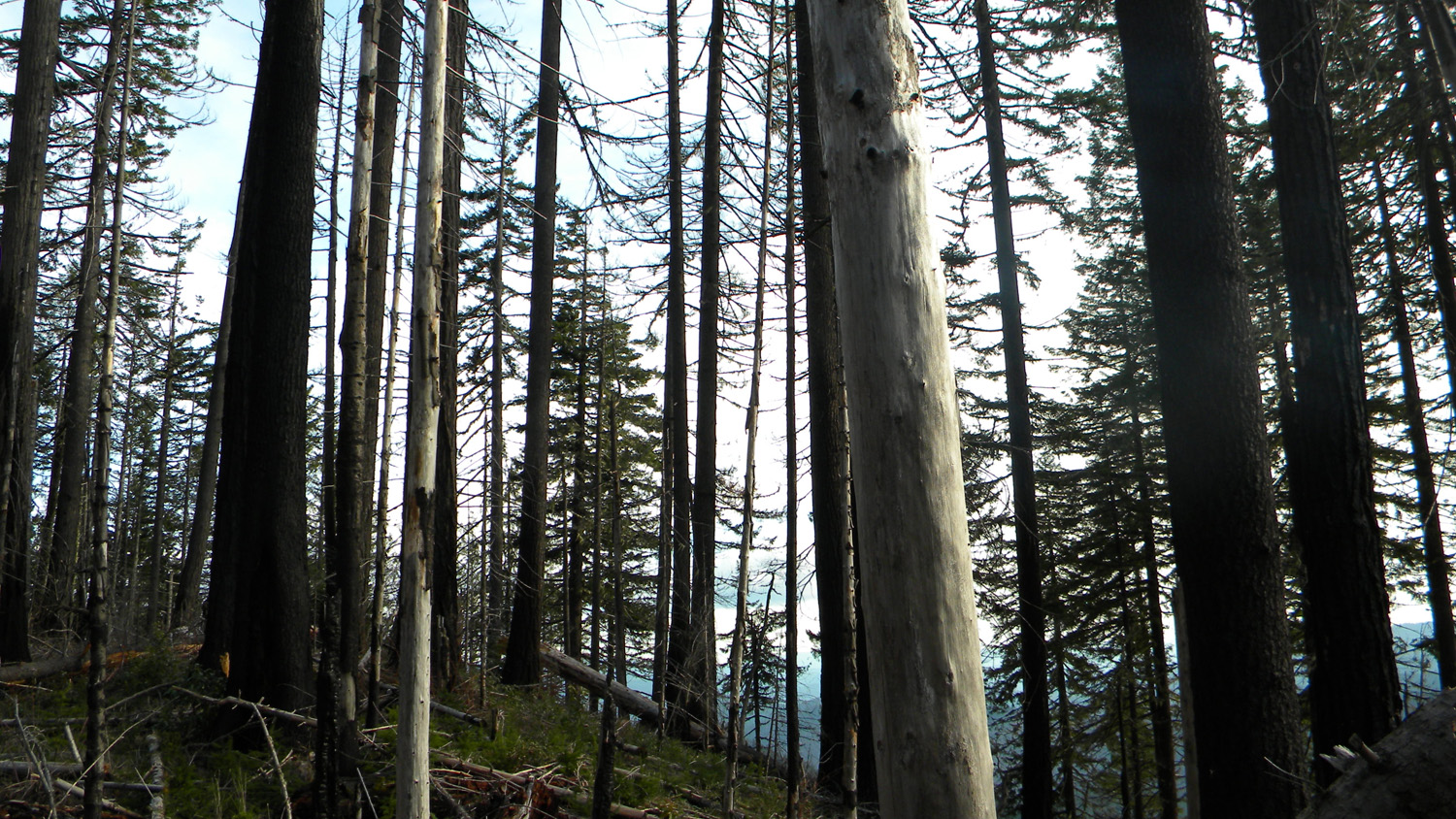
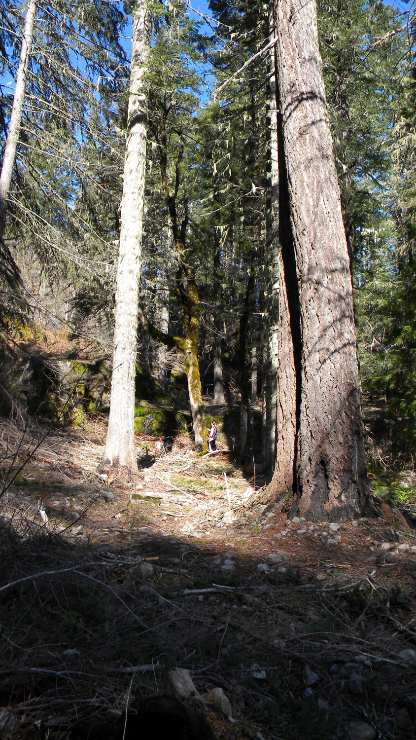
2225_Old_Growth
|
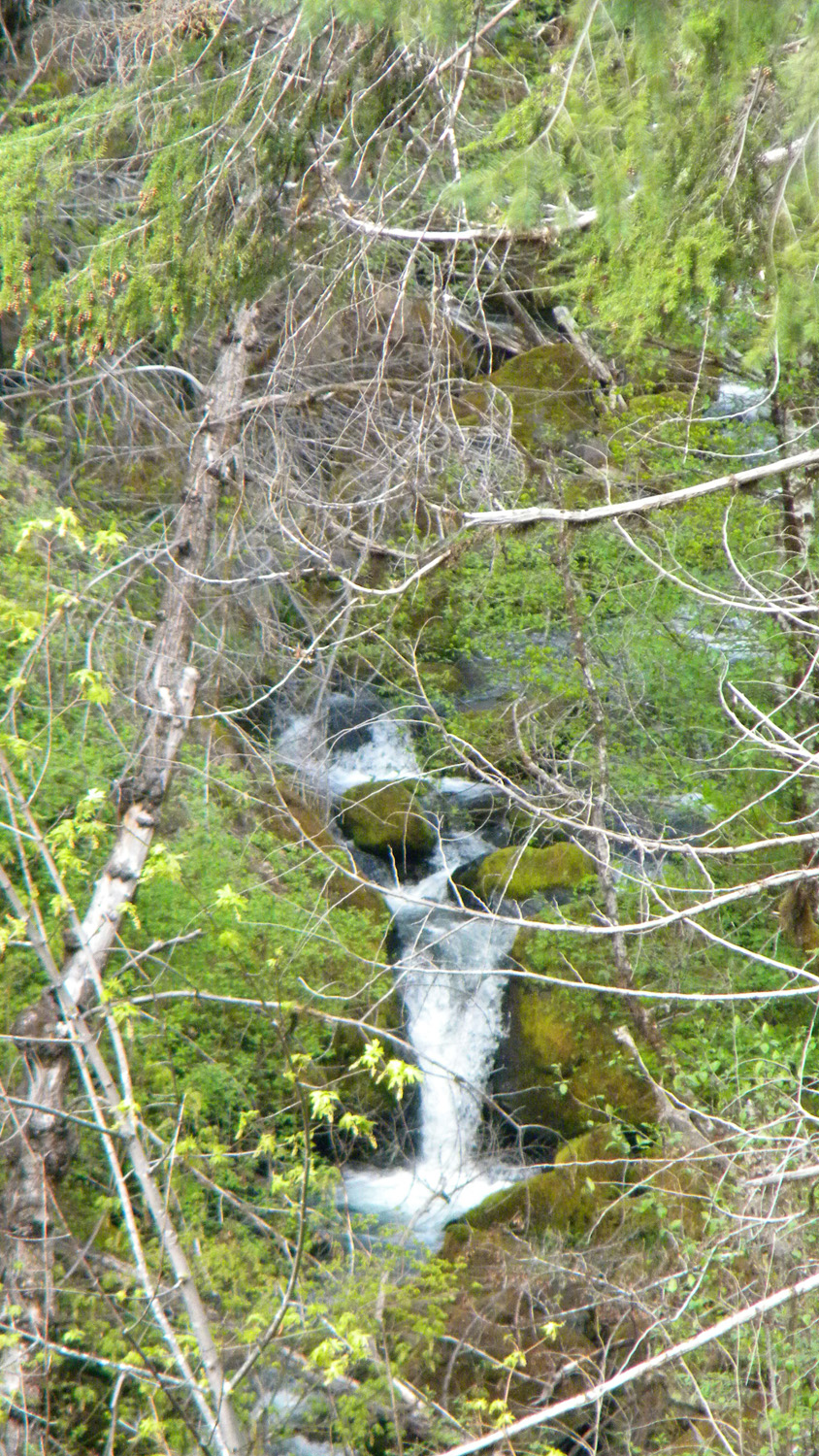
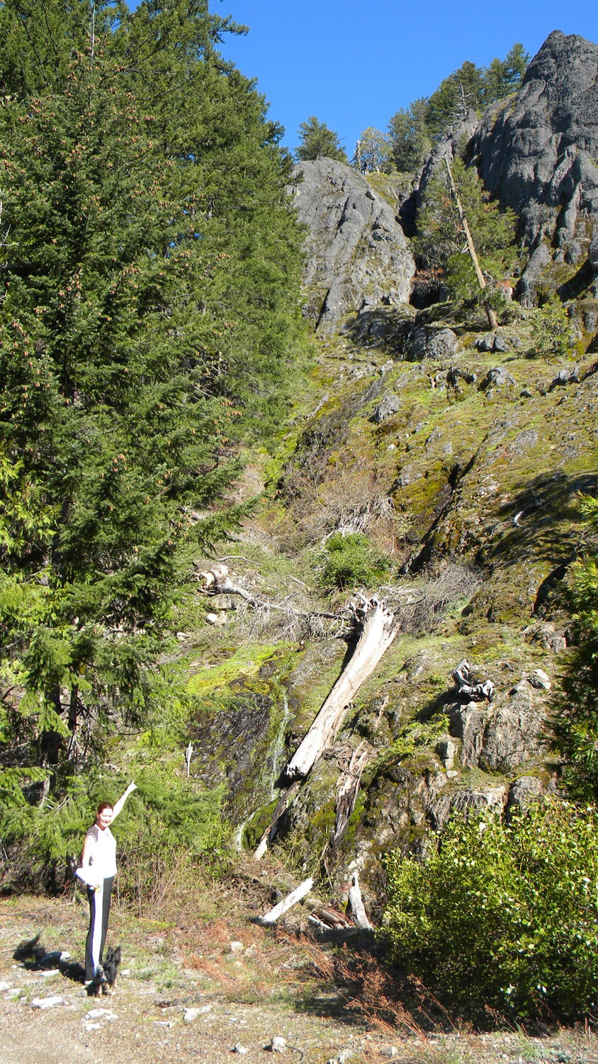
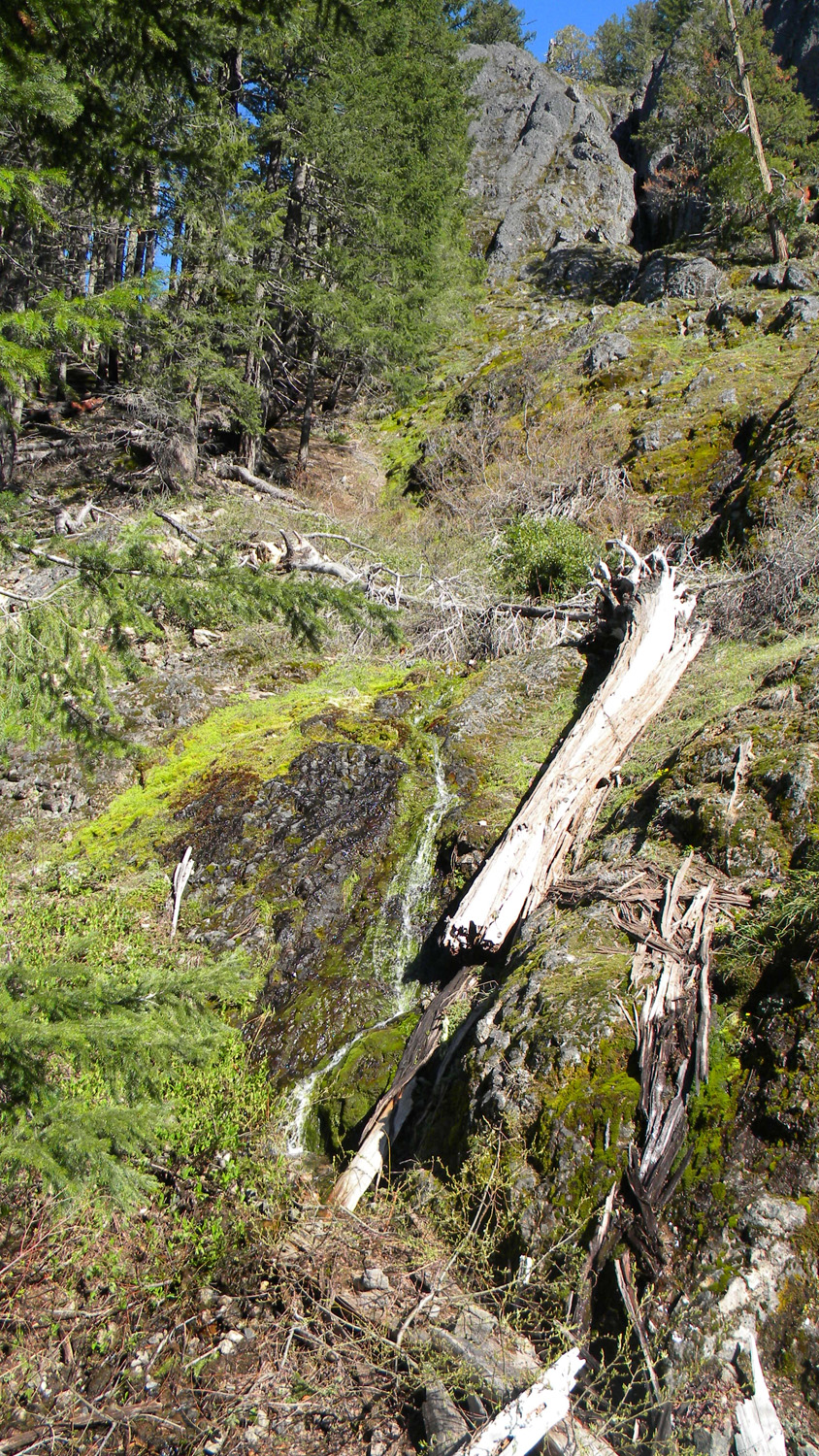
2226_Slick_Creek_Waterfall
|
2227_650_Road_View
|
 |
 |
 |
 |
 |
2228_650_Road
|
2229_650_Road_Trees
|
2230_650_Road_View
|
2231_650_Road
|
2232_650_Road
|
 |
 |
 |
 |
 |
2233_Abes_Mountain
|
2234_650_Road_View
|
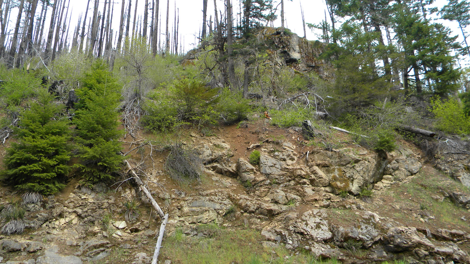
2235_650_Road_Rock
|
2236_650_Road_Rock
|
2237_650_Road_View
|
 |
 |
 |
 |
 |
2238_650_Road_Rock |
2239_650_Road_View |
2240_650_Road_Rock |
2241_650_Road_Rock |
2242_Abes_Mountain |
 |
 |
 |
 |
 |
2243_Abes_Mountain |
2244_Bastards |
2245_Burn |
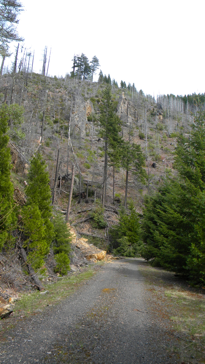
2246_650_Road_View |
2247_650_Road_View |
 |
 |
 |
 |
 |
2248_650_Road |
2258_650_Road_View |
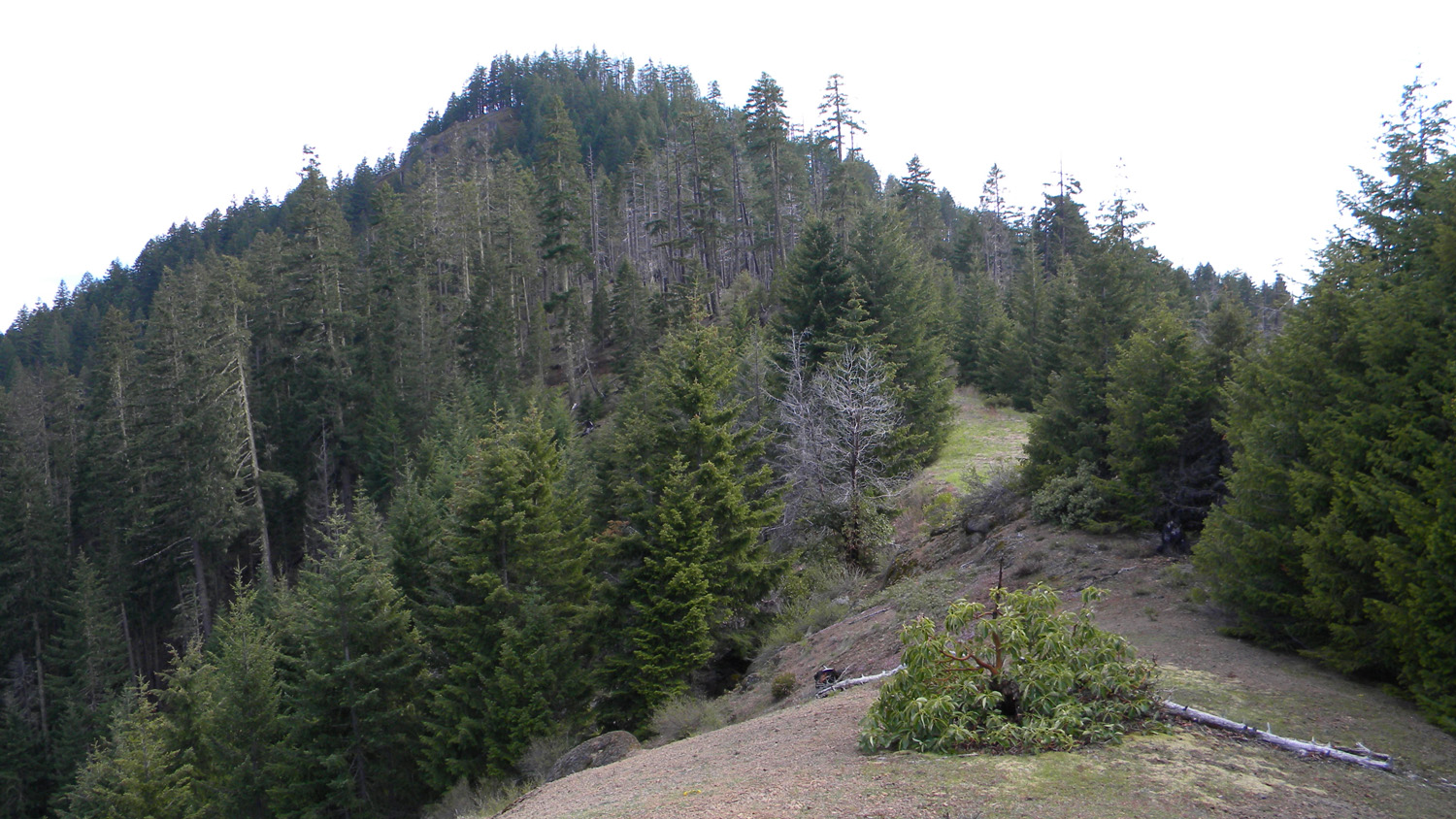
2259_Squaw_Mountain |
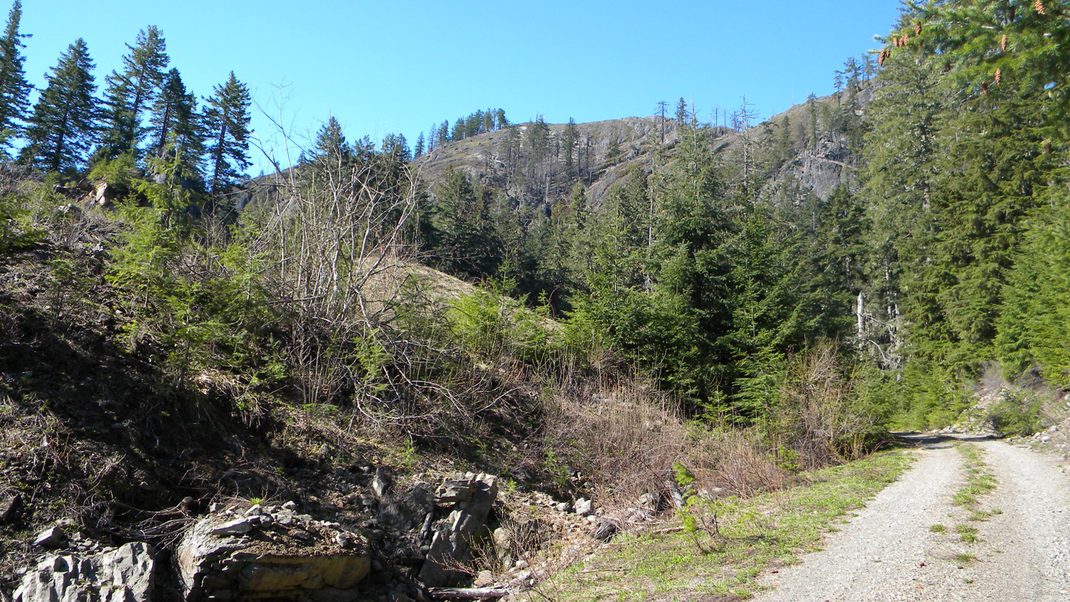
2260_526_Road_View |
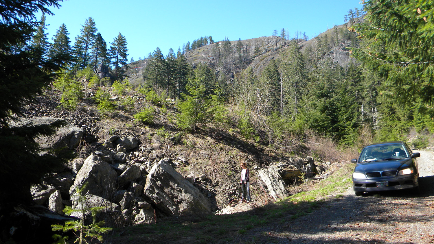
2261_526_Road_Blocked |
 |
 |
 |
 |
 |
2263_526_Road_View |
2264_526_Road_View |
2266_526_Road_Blocked |
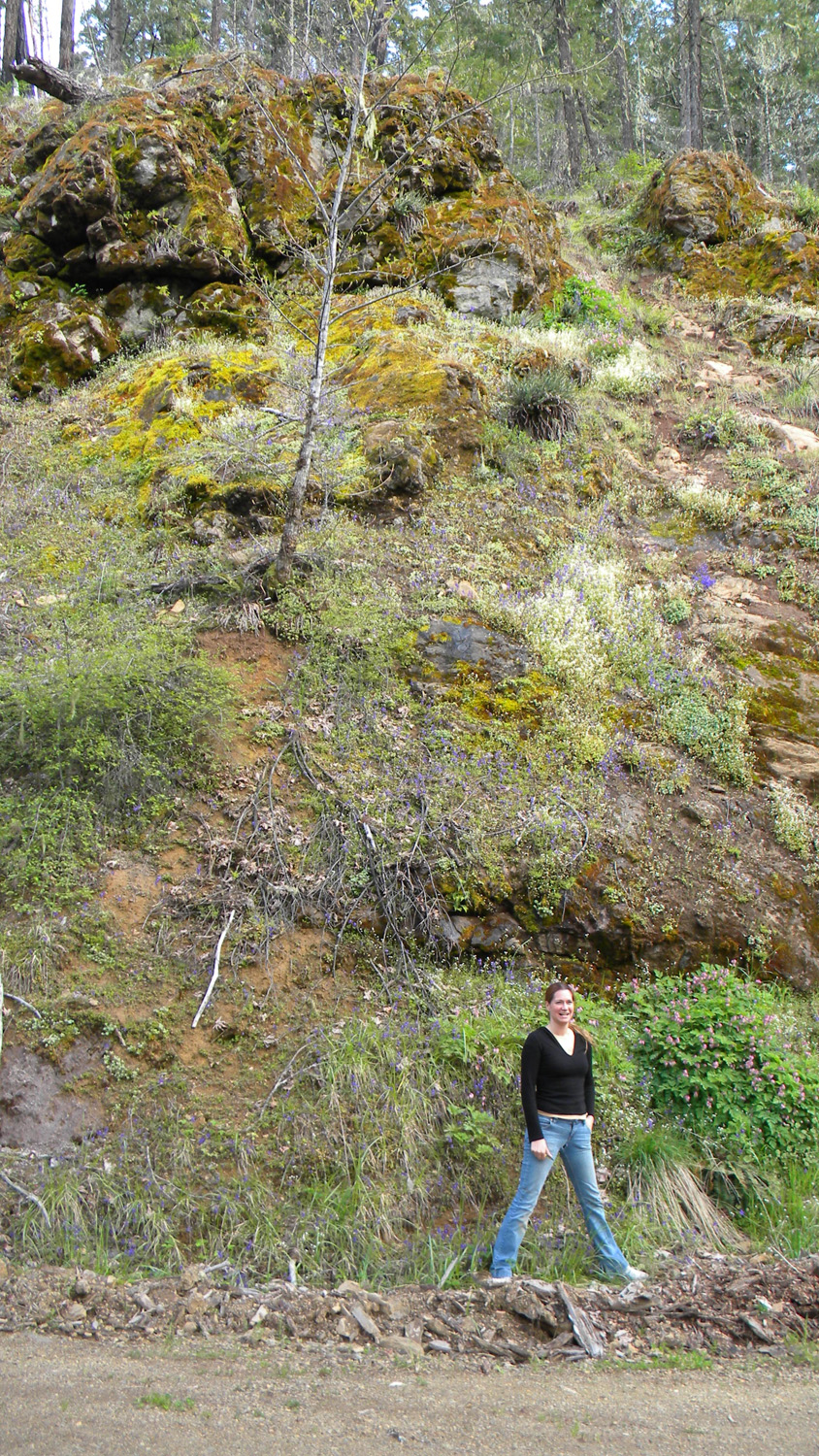
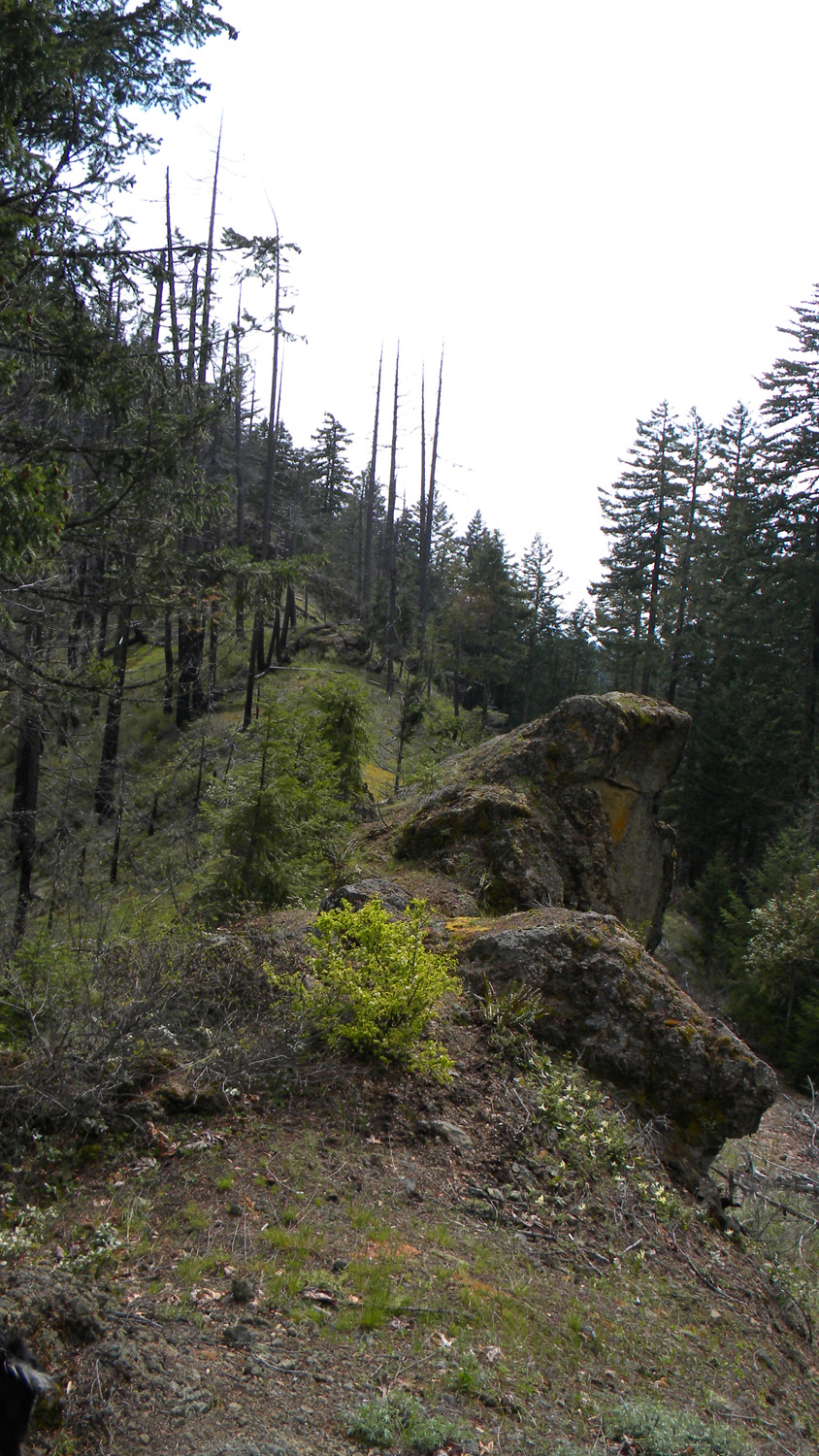
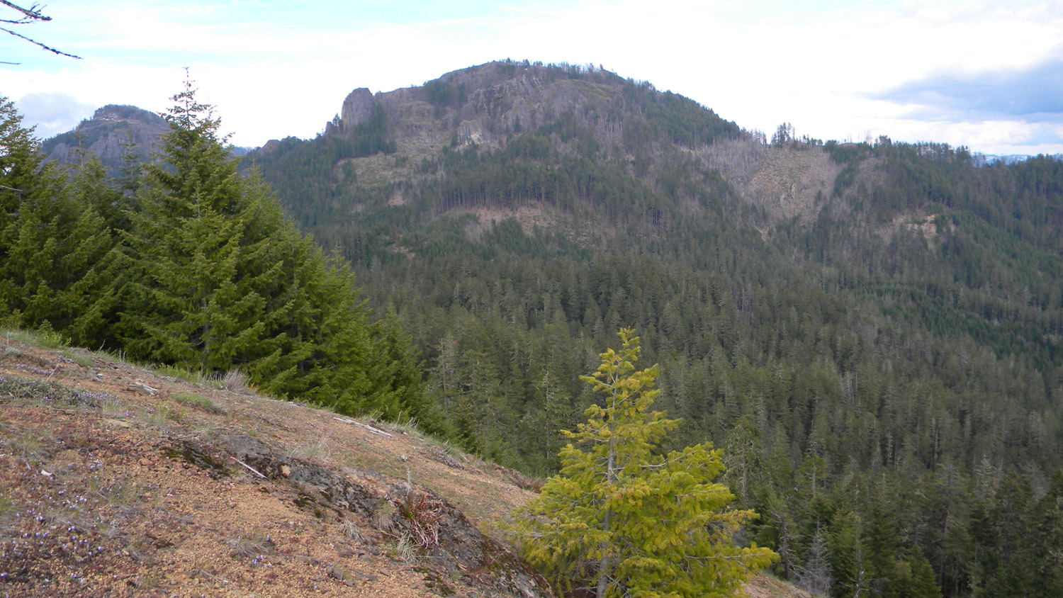
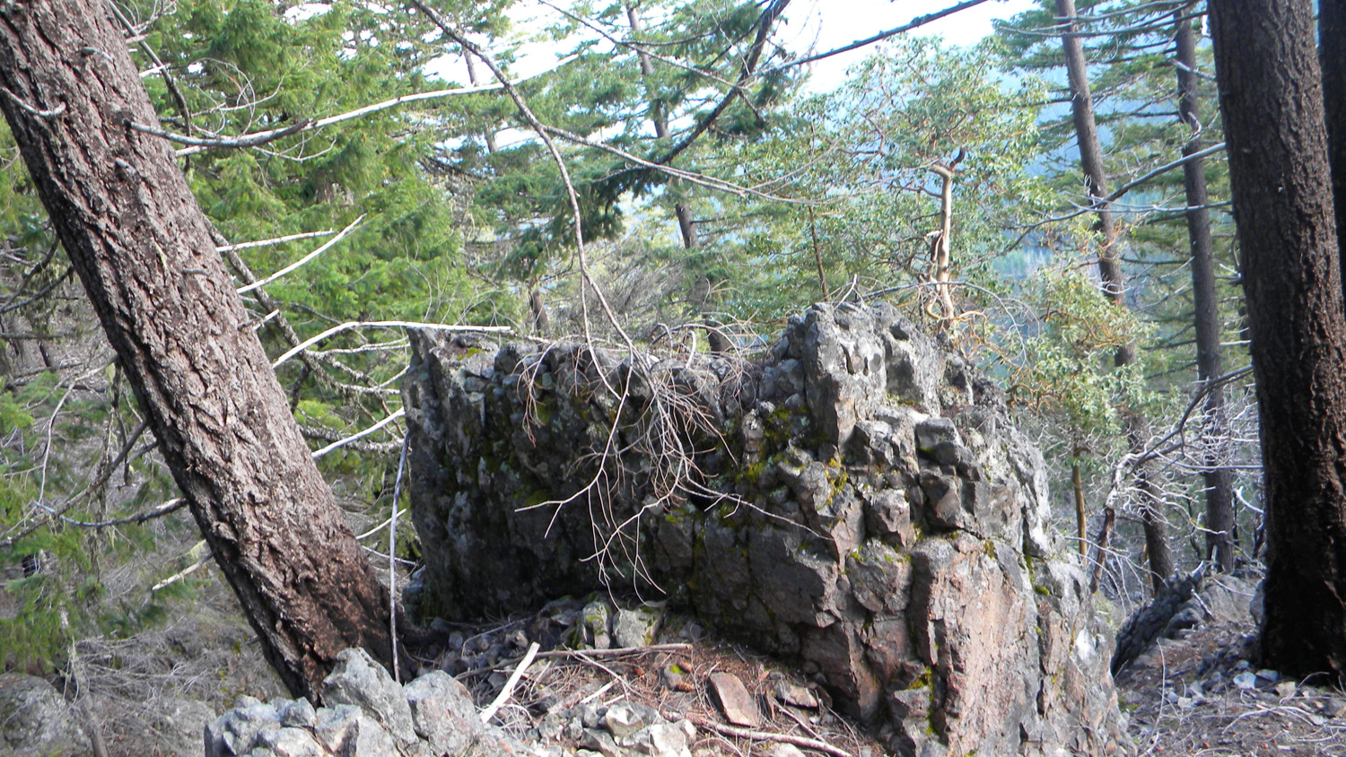
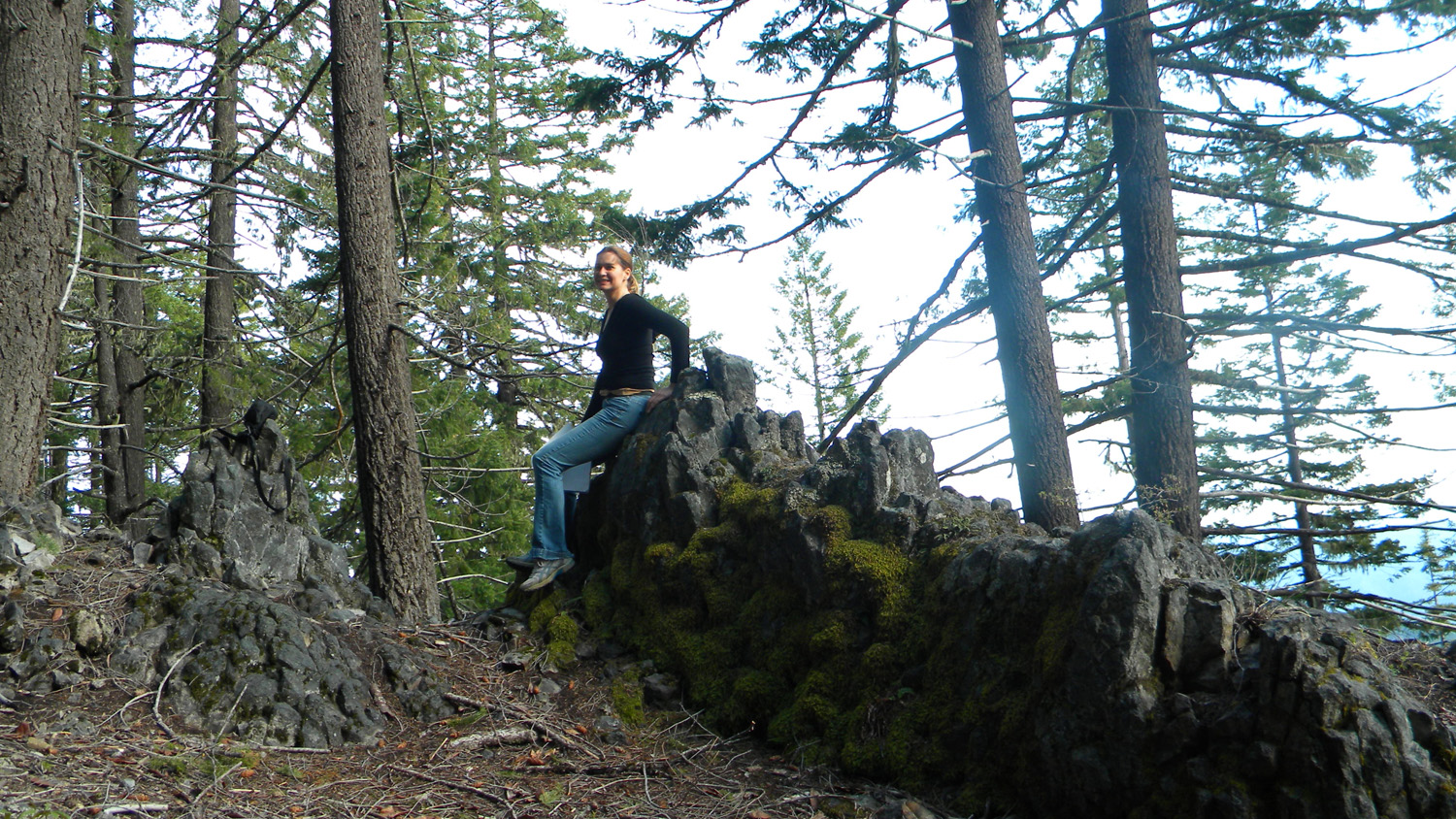
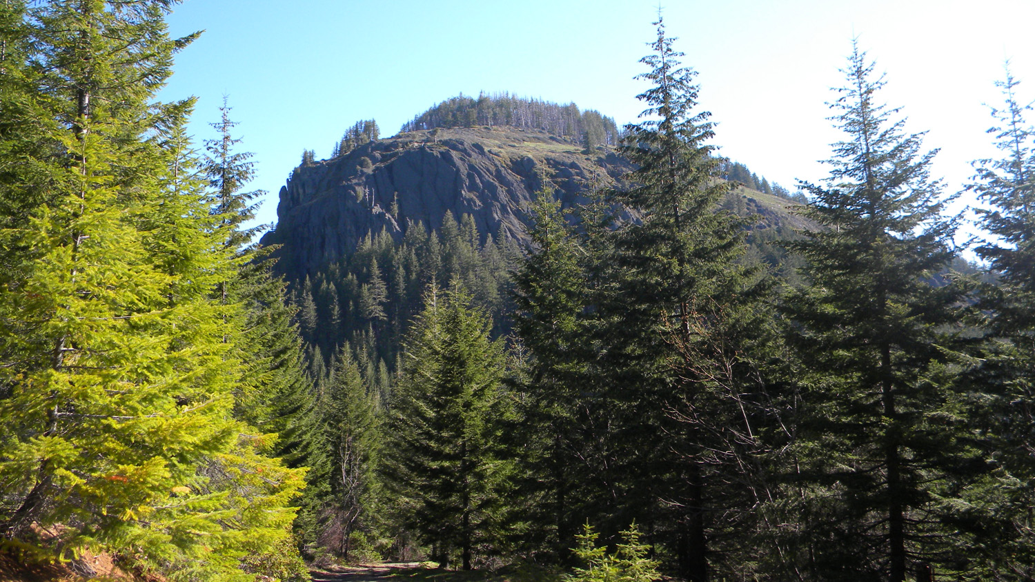
2277_Squaw_Mountain_Rock |
2278_Abes_Mountain |
 |
 |
 |
 |
 |
2279_Squaw_Mountain_Rock |
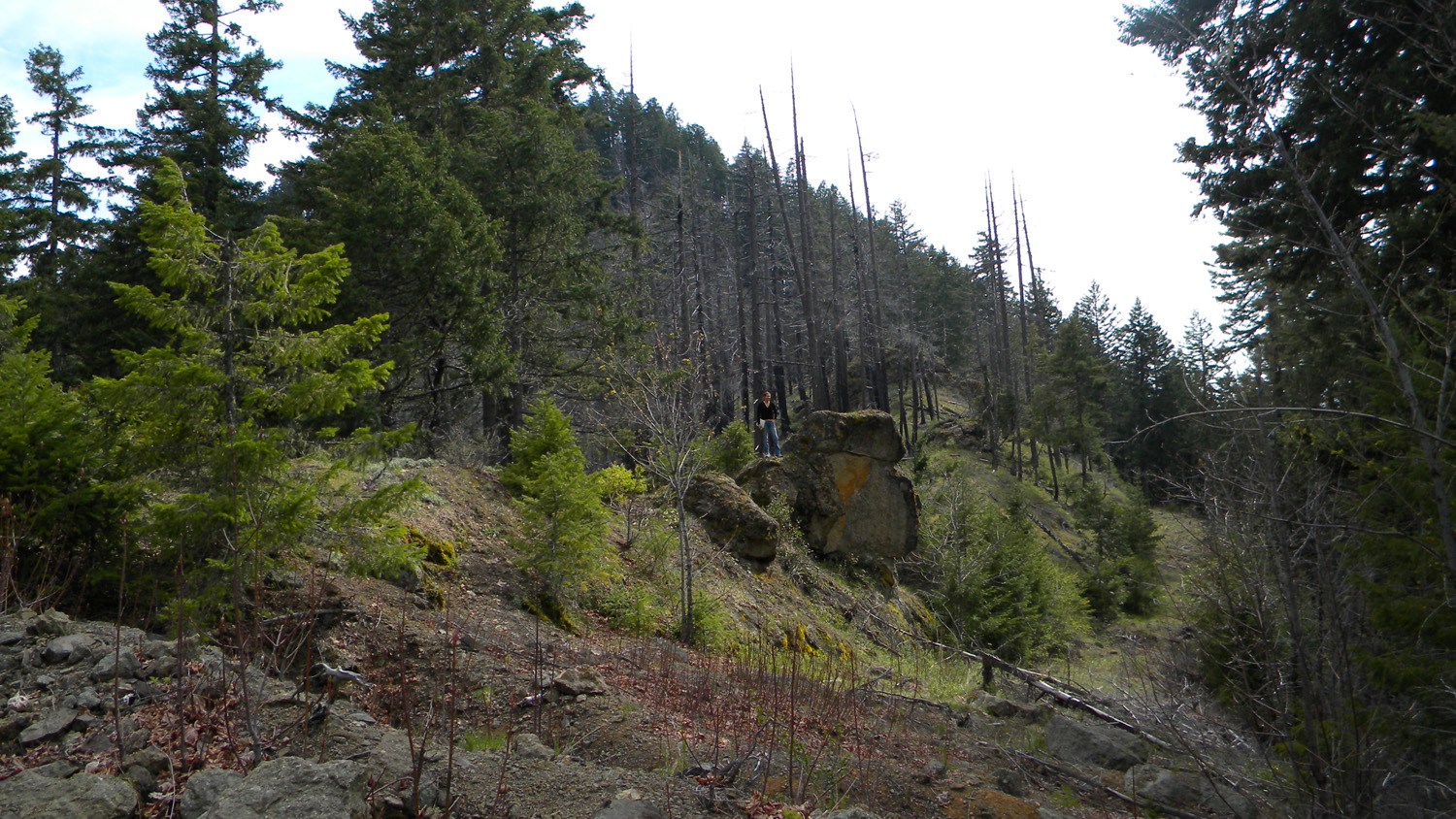
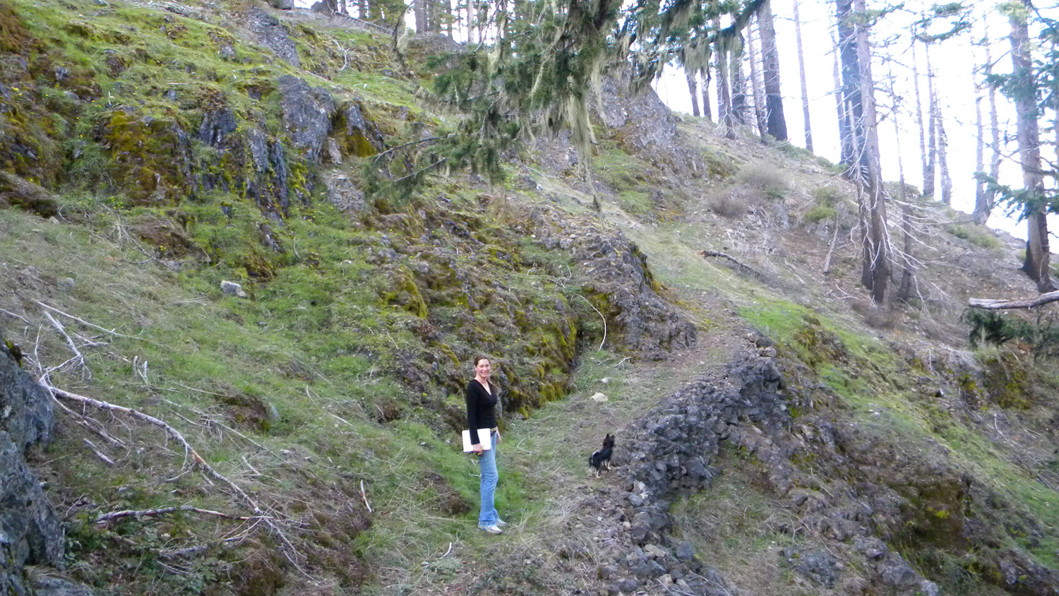
2280_Squaw_Trail_View |
2281_Squaw_Trail_View |
2282_Squaw_Trail_View |
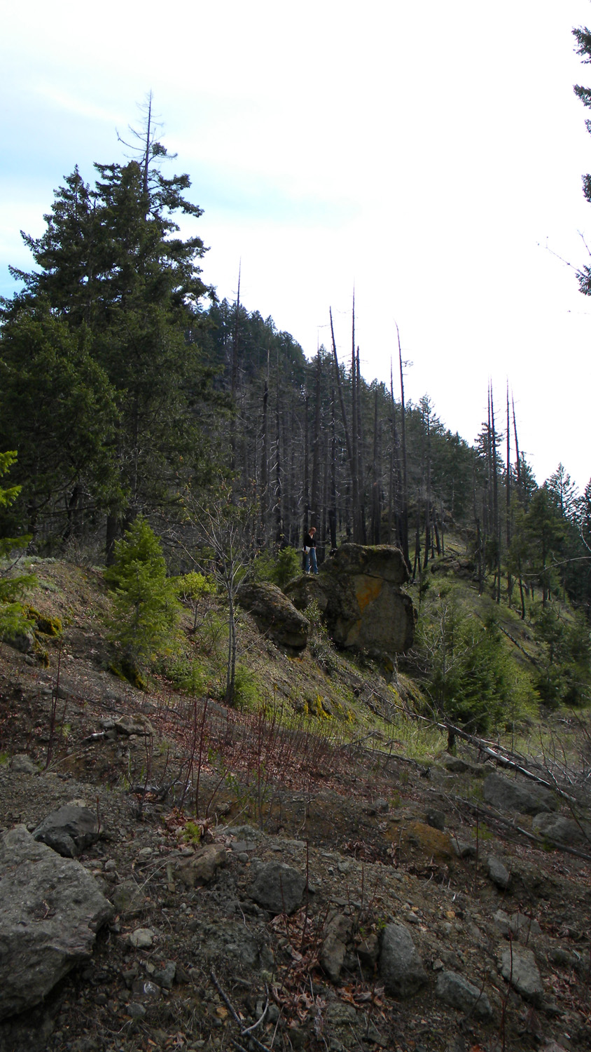
2283_Squaw_Trail_Burn |
 |
 |
 |
 |
 |
2284_Squaw_Trail_Trees |
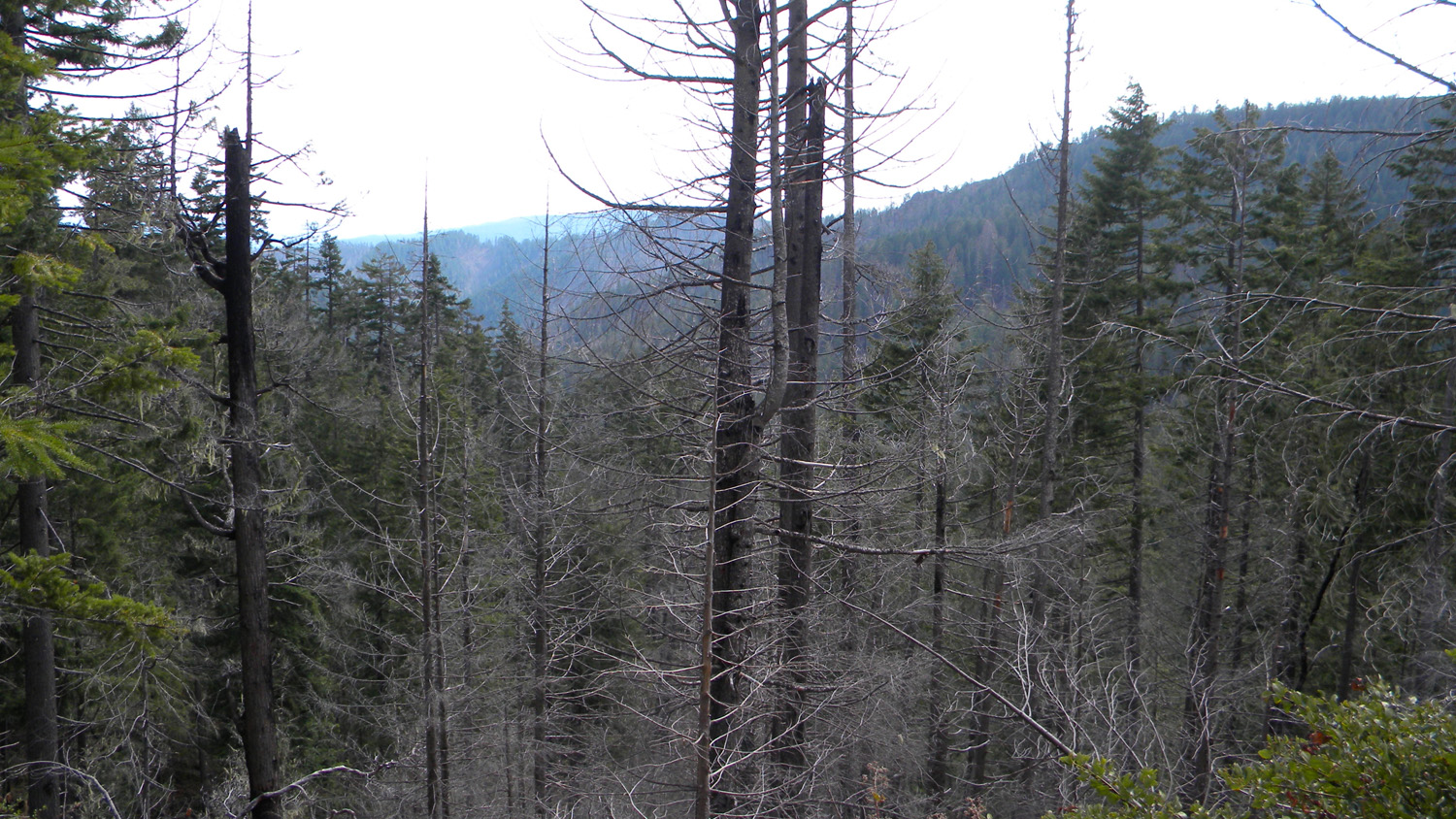
2288_Burnt_Trees |
2294_Squaw_Trail_View |
2295_Squaw_Trail_Rock |
2296_Squaw_Trail_Rock |
 |
 |
 |
 |
 |
2297_Squaw_Trail_Rock |
2298_Squaw_Trail |
2299_Squaw_Trail_Rock |
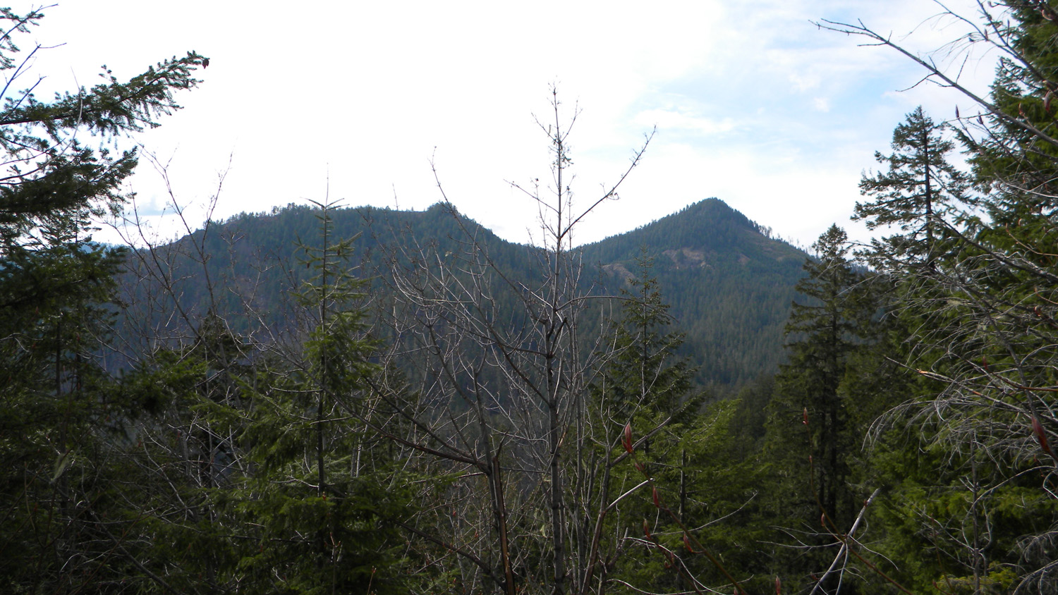
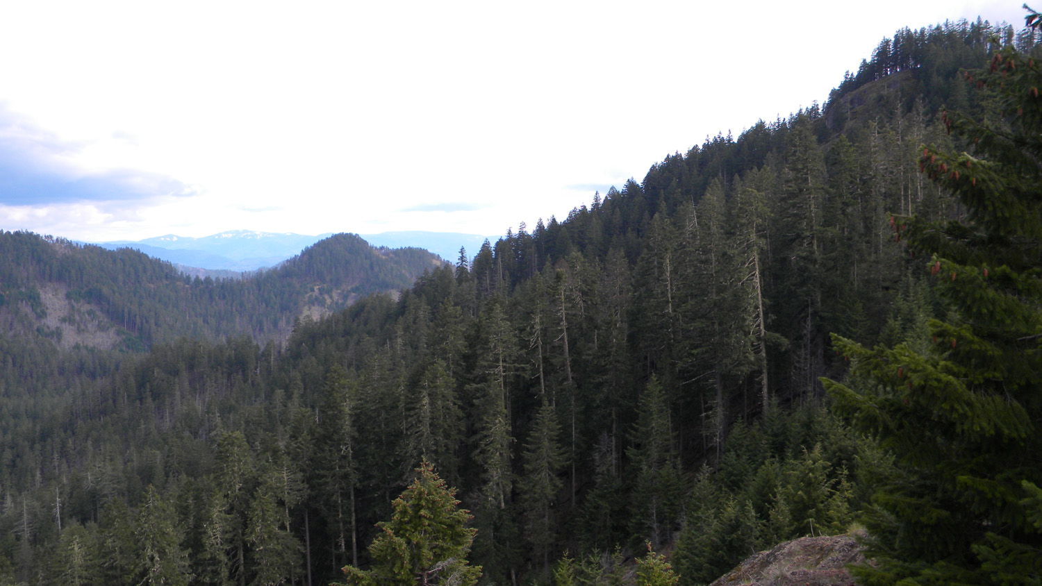
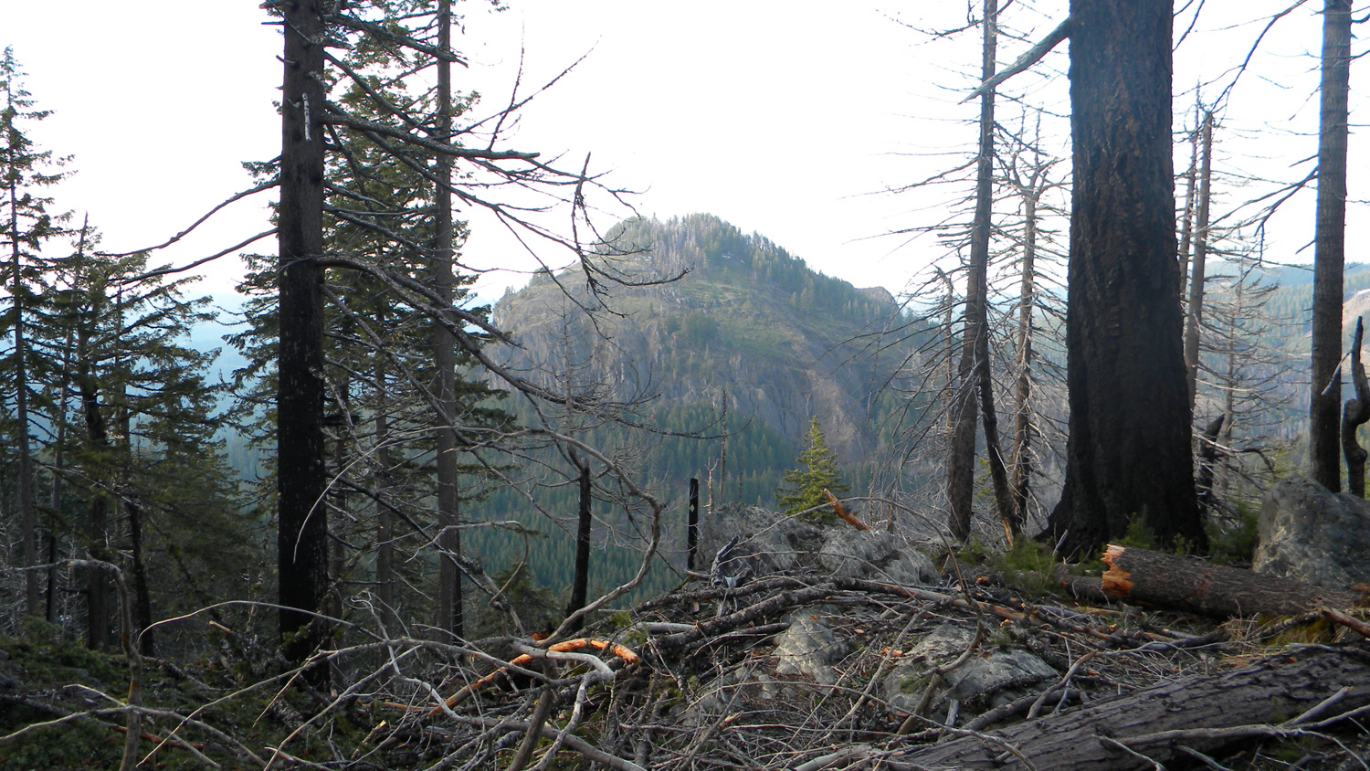
2307_Black_Butte |
2329_Burnt_Trees |
 |
 |
 |
 |
 |
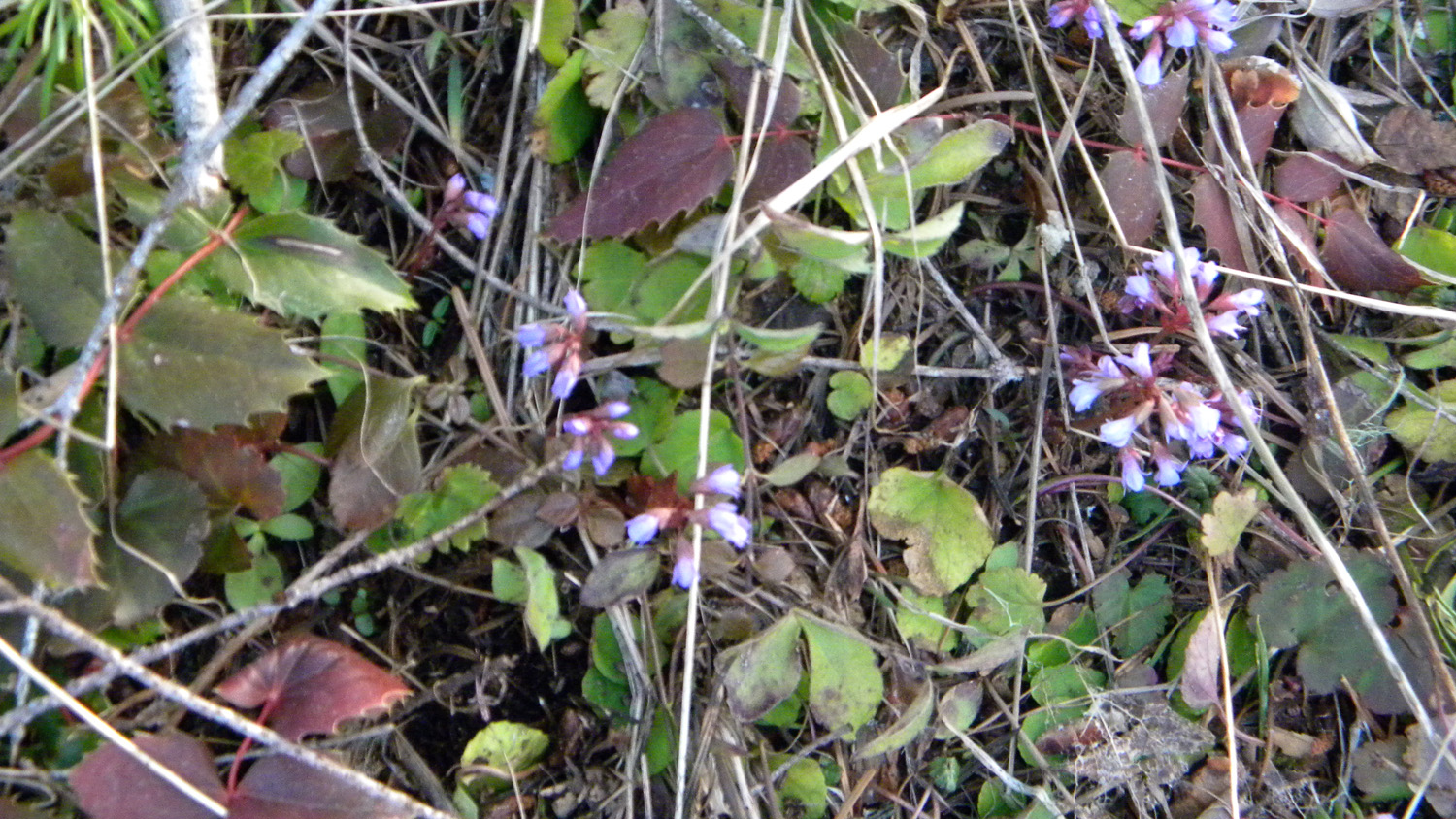
2330_Flowers |
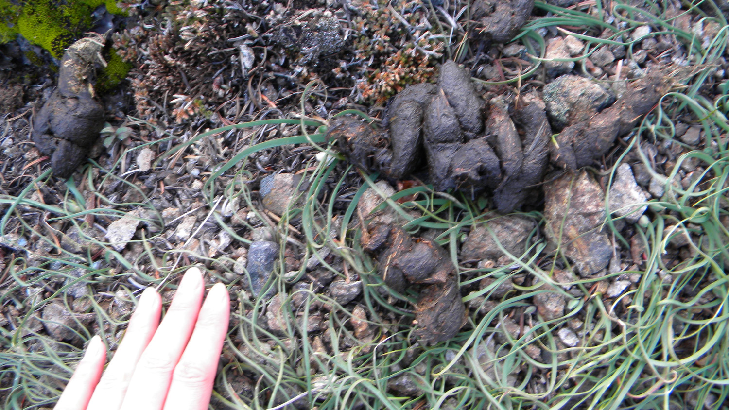
2339_Scat_Go_Away |
2340_Squaw_Mountain_Rock |
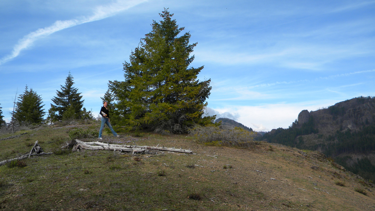
2341_Squaw_Mountain_TH |
2342_Squaw_Mountain |
 |
 |
 |
 |
 |
2346_Black_Butte |
2347_Black_Butte |
2348_625_Road_End |
2349_Black_Butte |
2351_625_Road |
 |
 |
 |
 |
 |
2352_Oak |
2353_625_Road |
2354_625_Road |
2355_Black_Butte |
2356_617_Road |
 |
 |
 |
 |
 |
2357_617_Road |
2358_617_Road |
2359_617_Road |
2360_617_Road |
2361_617_Road |
 |
 |
 |
 |
 |
2362_Big_Squaw_Mountain |
2363_Burnt_Draw |
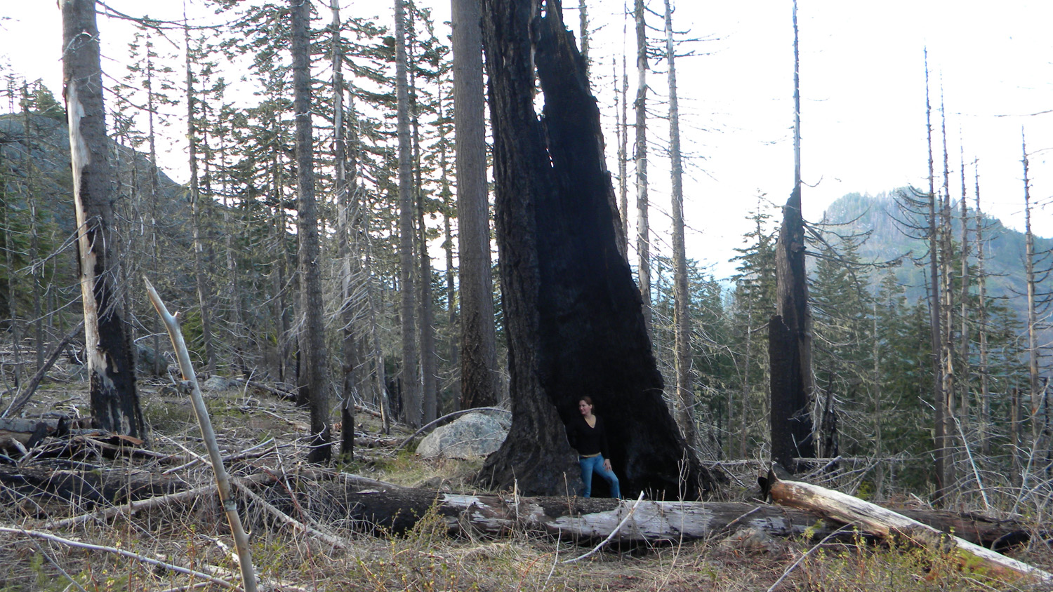
2370_Bob |
2371_617_Road |
2372_617_Road |
 |
 |
 |
 |
 |
2373_617_Road |
2374_617_Road |
2375_617_Road |
2376_617_Road |
2377_617_Road |
 |
 |
|||
2378_617_Road |
2379_617_Road |
|||