Dorn Peak Lookout
The Dorn (aka Doran and Doran's) Peak Lookout was constructed in 1929 at Tsp. 7 S., Rng. 7 W., Sec. 9, elevation 2,849 feet. Osborne panoramic photos were taken on September 18, 1936 by "S.L.M.," but have not been located at this time (March, 2020). The lookout was removed in 1959. Kemnow Online History.
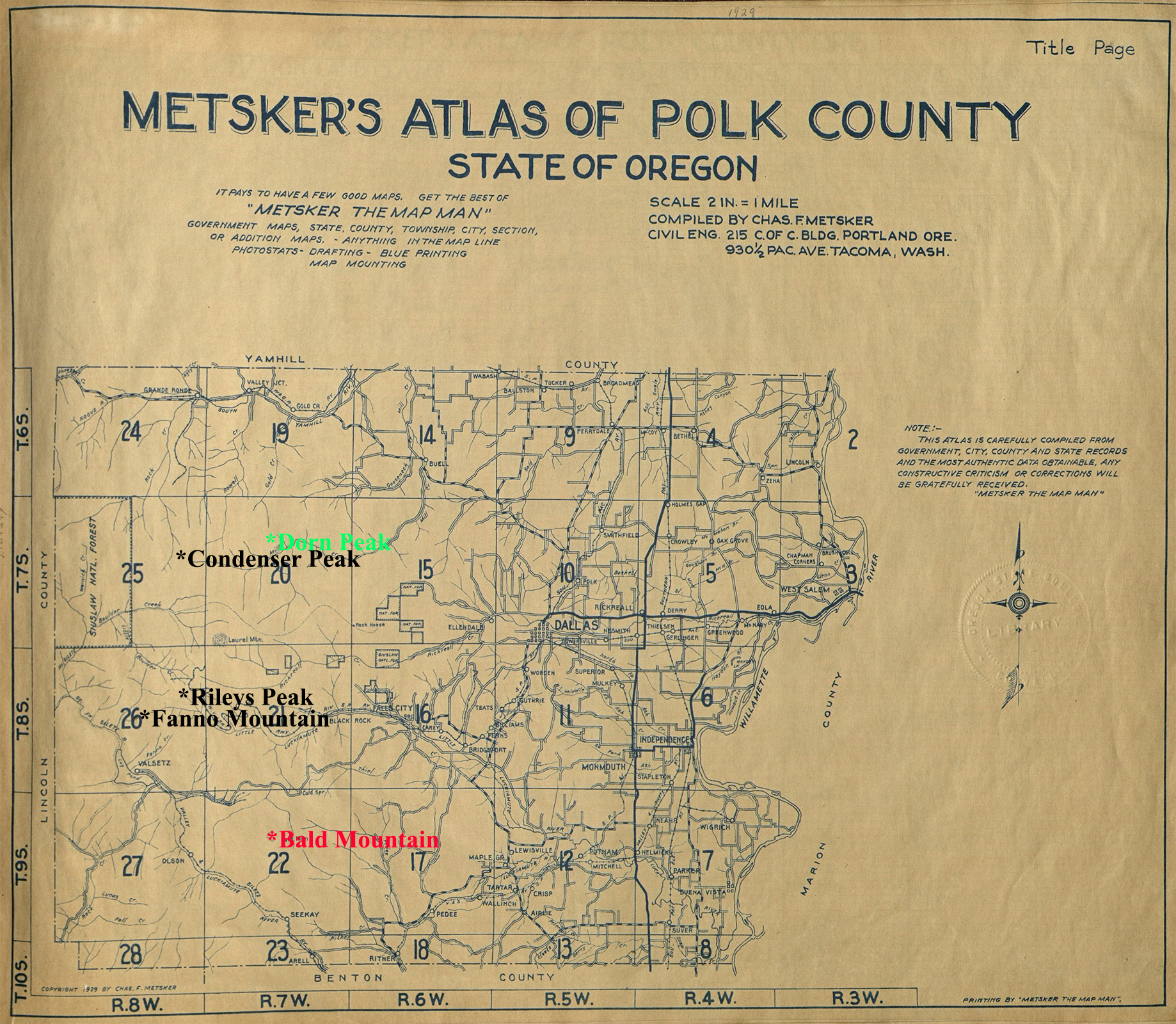
The Polk County Fire Lookout Index Map shows Dorn Peak in relation to the other County lookouts.
North View, 300-60 degrees |
East View, 60-180 degrees |
West View, 180-300 degrees |
© 2006-2020, Oregon Websites and Watersheds Project, Inc. & NW Maps Co.