Prairie Mountain Lookout
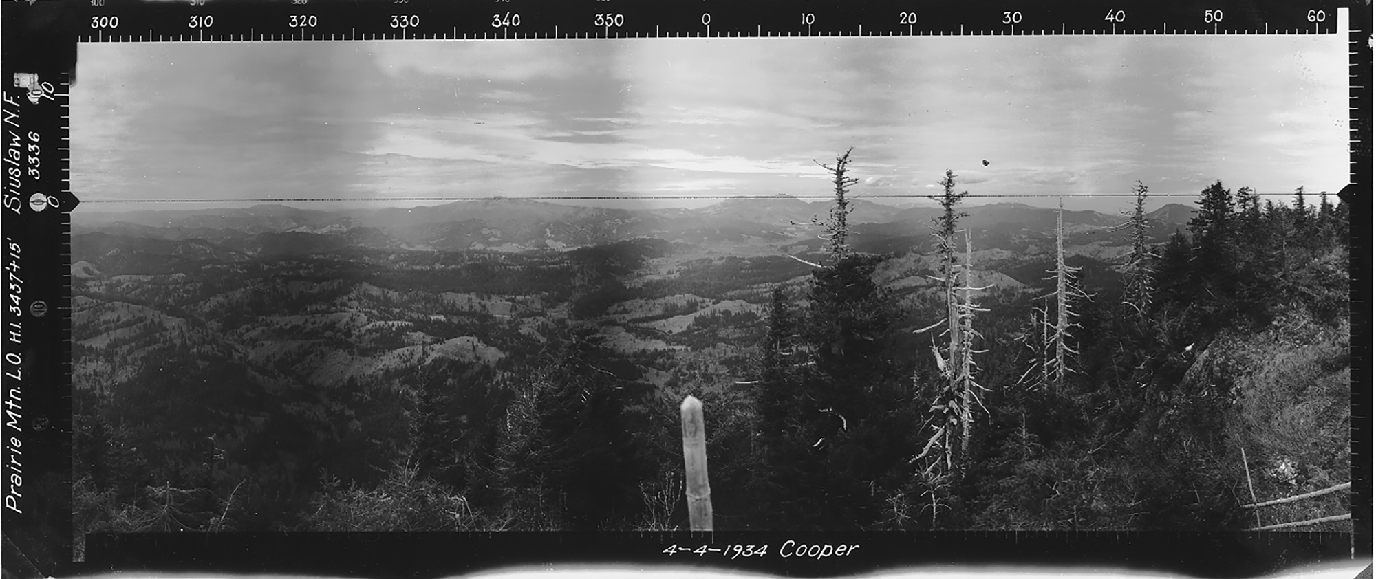
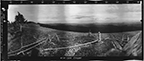
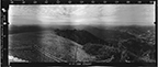
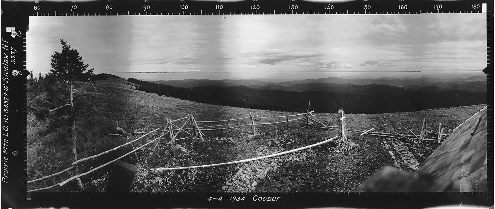
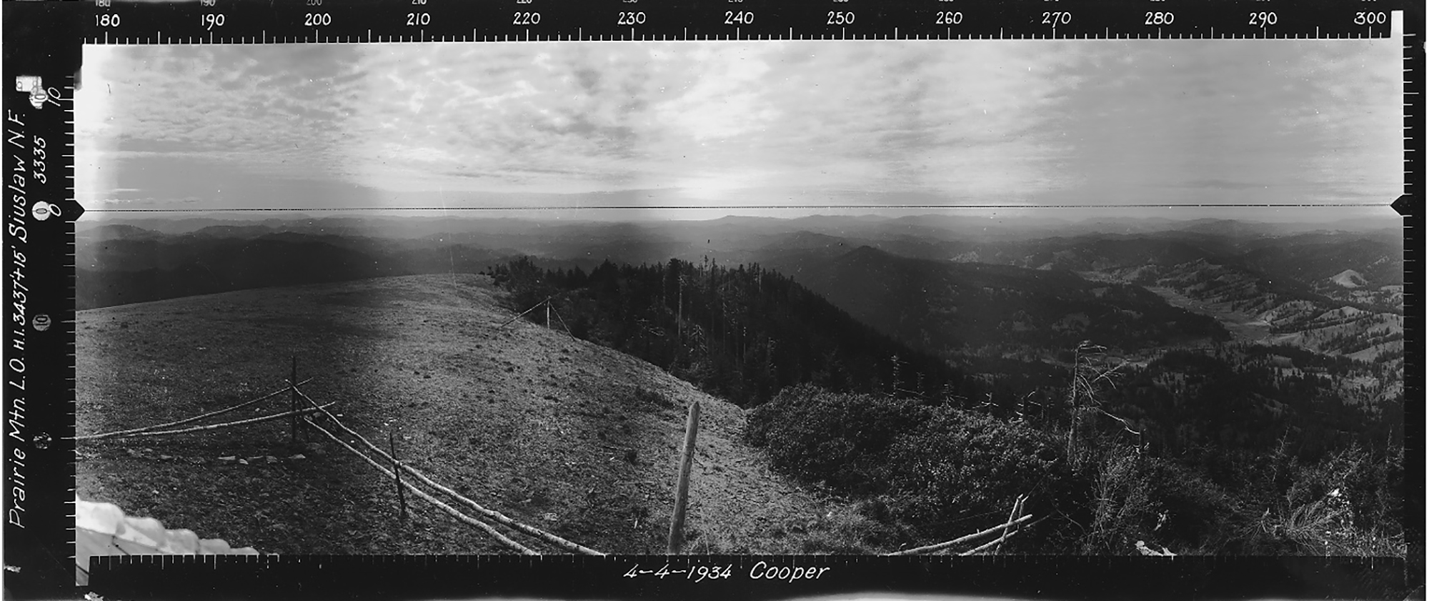
North View, Prairie Mountain Lookout, Benton County and Lane County (Cooper, April 4, 1934).
The Prairie Mountain Lookout was situated on the Benton County/Lane County line in 1913 by design, but is located slightly on the Lane County side at Tsp. 15 S., 8 W., Sec. 12, elevation 2,800 feet. After many years of disuse a "Forest Watch"camera detection system was installed in 2012. Kemnow Online History.
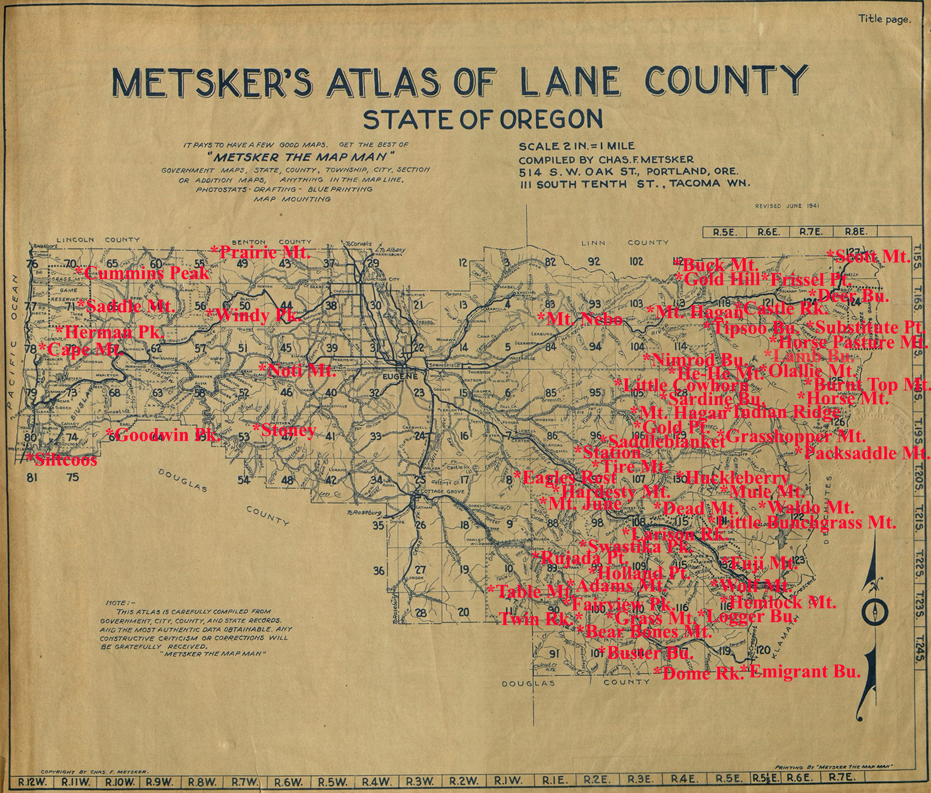
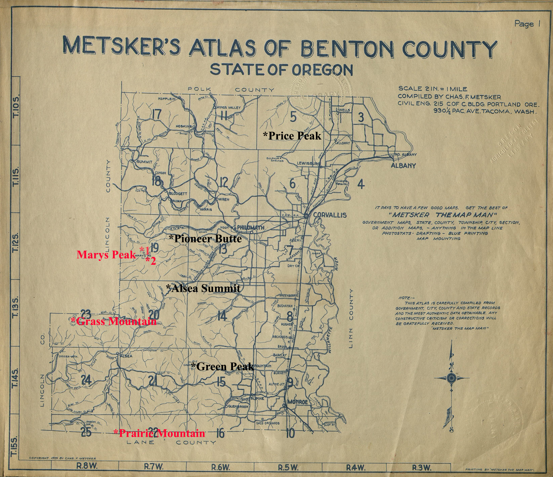
The Lane County Fire Lookout Index Map shows the location of the Prairie Mountain on the northwest county boundary, while the Benton County Index Map shows its location on its southern boundary.
© 2006-2020, Oregon Websites and Watersheds Project, Inc. & NW Maps Co.