
Pearsoll Peak Lookout
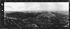
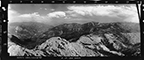
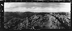
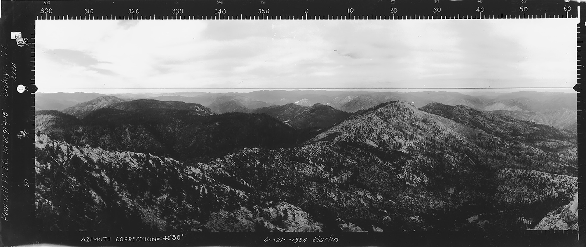
East View, Pearsoll Peak Lookout, Josephine County (Sarlin, April 21, 1934).
Pearsoll Peak Lookout was established in 1914 with a telephone line to Tsp. 38 S., Rng. 10 W., Sec. 35, elevation 5,091 feet. The subsequent construction of a cabin took several years and was documented in local newspapers and Siskiyou National Forest reports. Kemnow Online History.
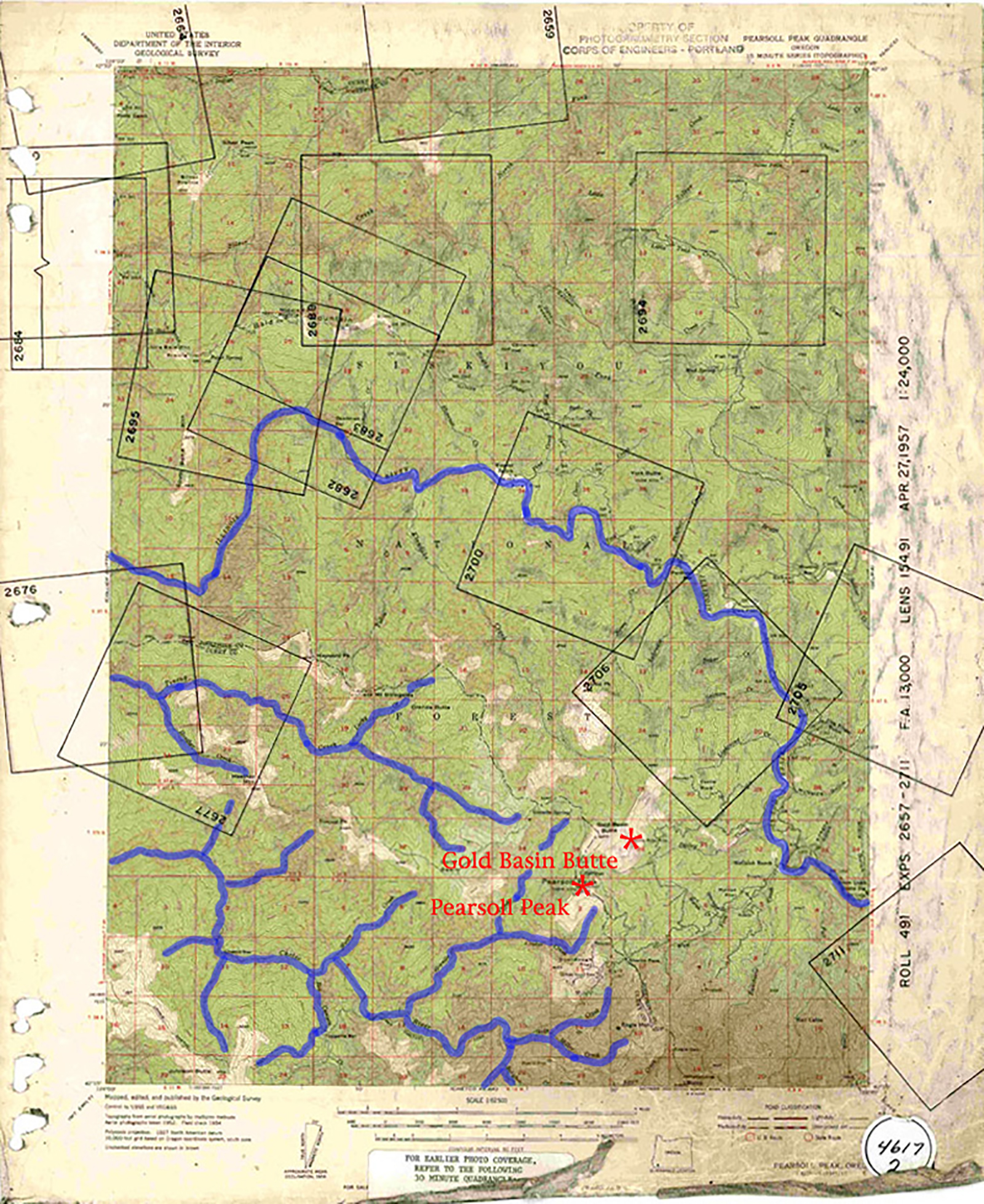
Annotated 1957 USGS Pearsoll Peak Quadrangle Map; NW Maps Co. Fire Lookout Index Map for 2006 Kalmiopsis Wilderness Osbornes QTVR Project.
© 2006-2020, Oregon Websites and Watersheds Project, Inc. & NW Maps Co.