
Gold Basin Butte Lookout
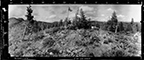
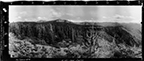
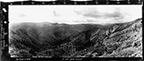
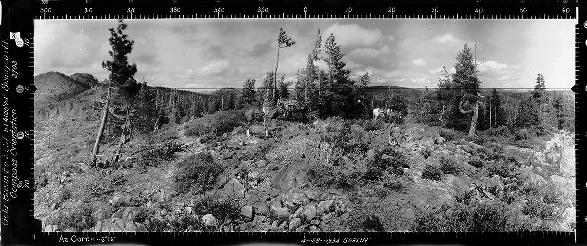
West View, Gold Basin Butte, Josephine County (Sarlin, April 28, 1934).
There is little historical information currently available regarding the Gold Basin Butte Lookout, which viewpoint was photographed in 1934 from Tsp. 37 S., Rng. 10 W., Sec. 35, elevation 4, 870 feet.
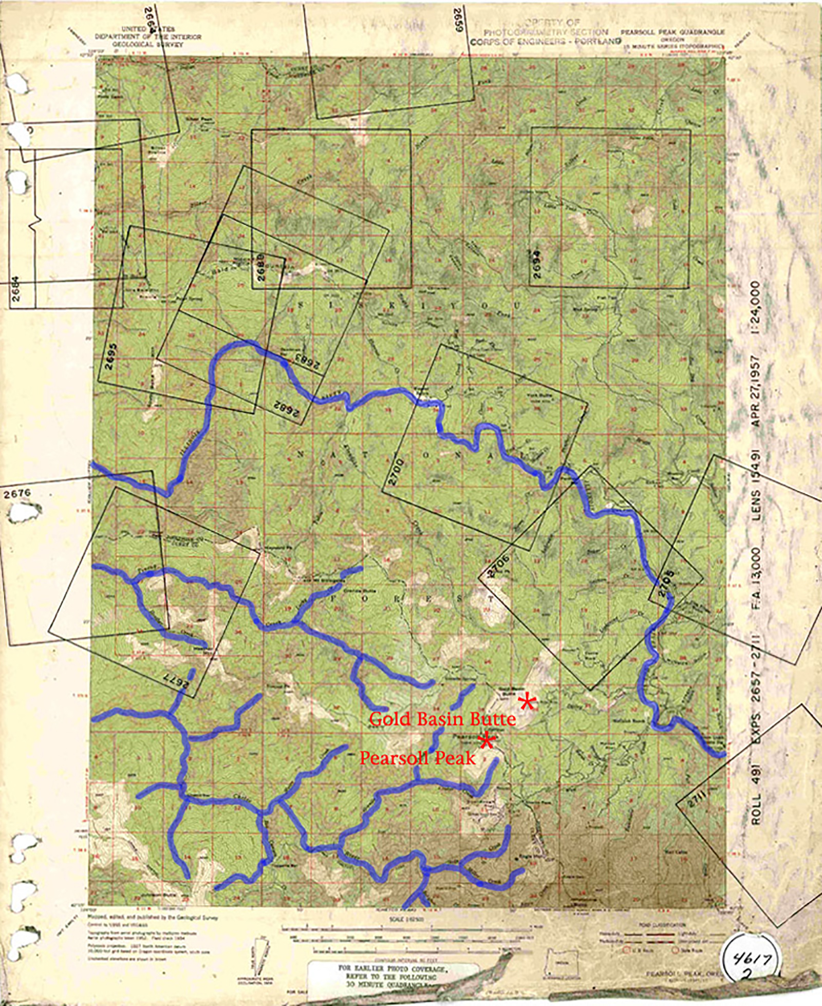
Annotated 1957 USGS Pearsoll Peak Quadrangle Map; NW Maps Co. Fire Lookout Index Map for 2006 Kalmiopsis Wilderness Osbornes QTVR Project.
© 2006-2020, Oregon
Websites and Watersheds Project, Inc. & NW Maps Co.
![]()
![]()
1957 USGS Map
2006 Index Map