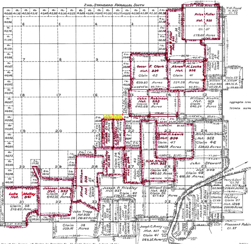
Historical Maps & Survey Notes
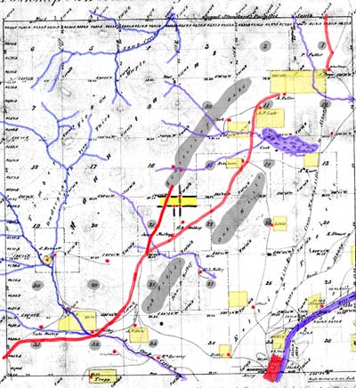
1852 GLO map of the Marysville area (current known
as Corvallis)
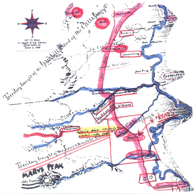
A collection of historic maps and survey notes, documenting the geography, tree locations, and land claims in the area now known as Corvallis.
| icon | Description |
 |
1852 GLO Map |
 |
1851 California Trail |
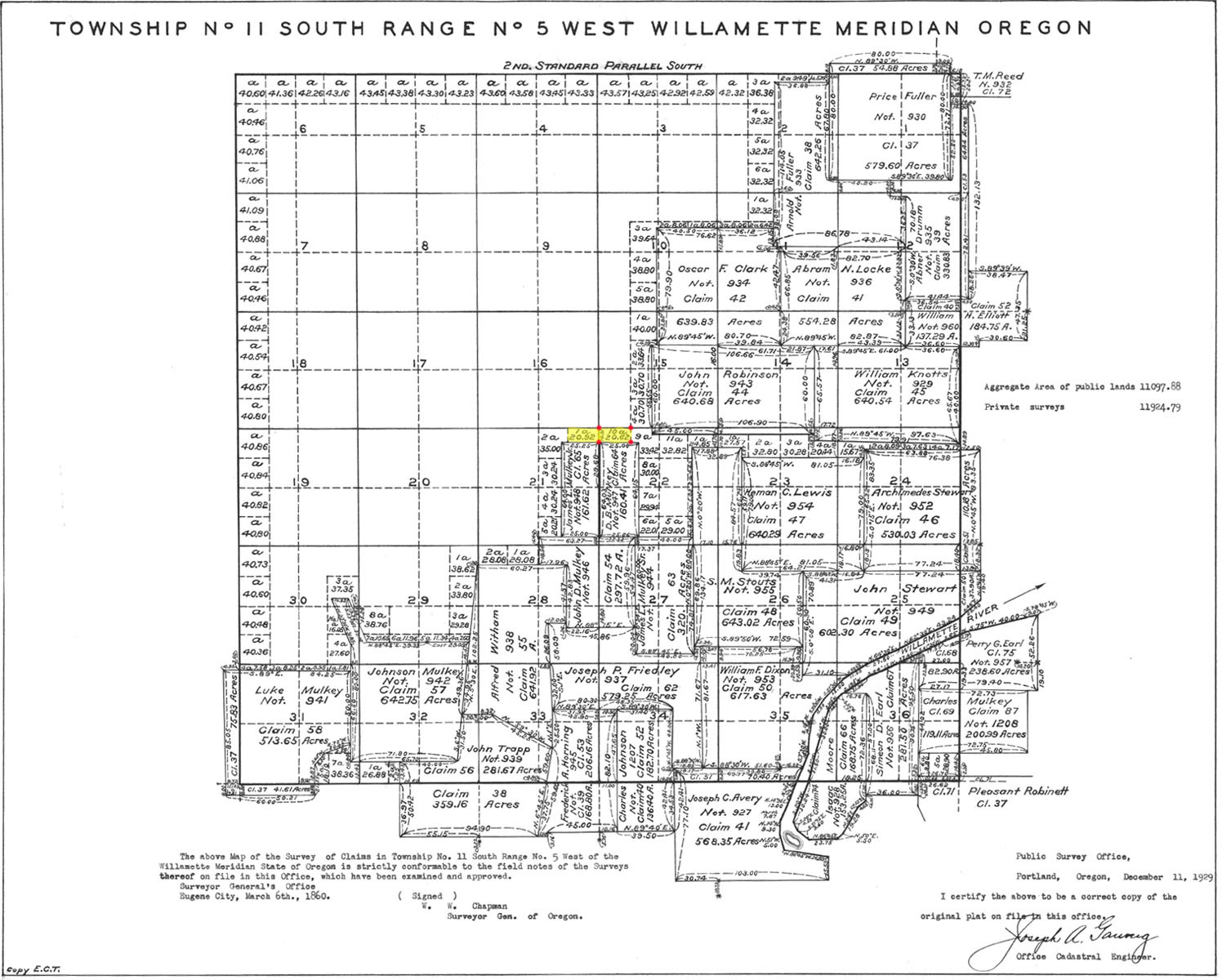 |
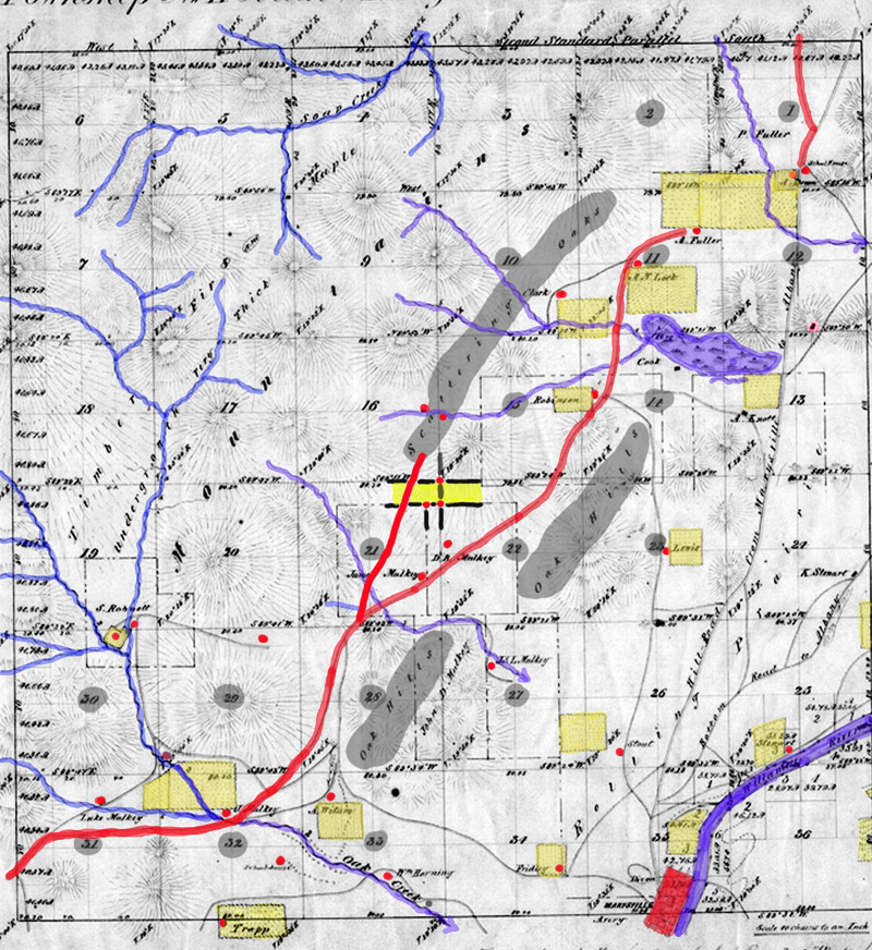
T 11S R 05W DLC 1854 |
 |
T 11S R 05W DLC 1854 |
 |
T 11S R 05W GLO 1852 |
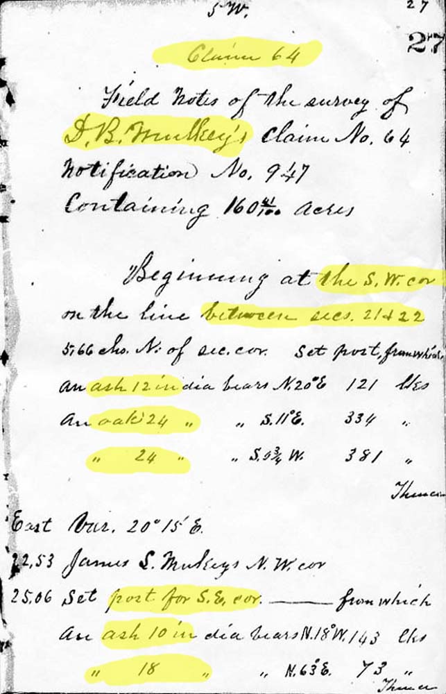 |
DLC Survey notes from May 23, 1854 - page 1
|
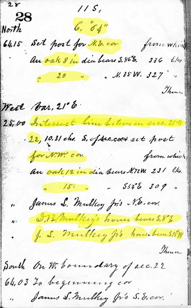 |
DLC Survey notes from May 23, 1854 - page 2 |
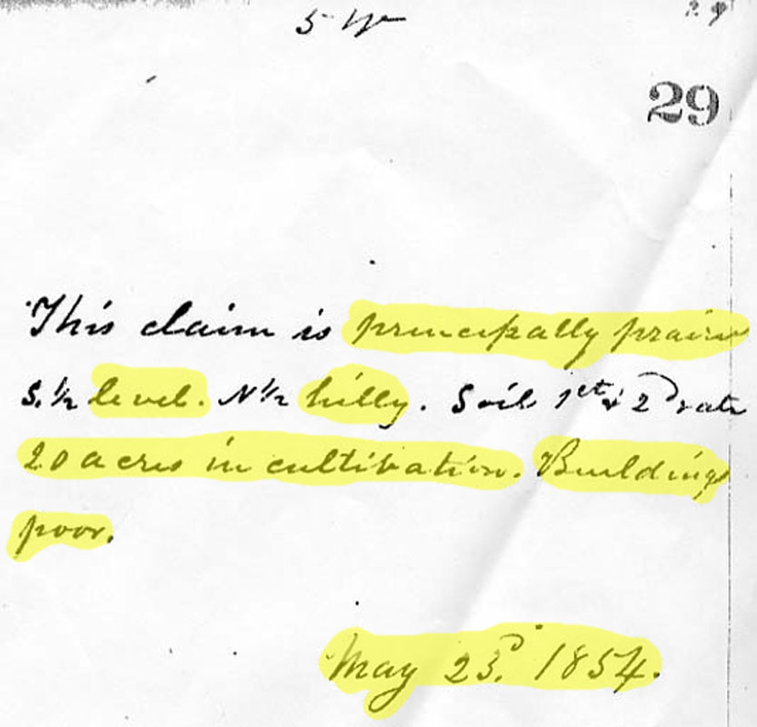 |
DLC Survey notes from May 23, 1854 - page 3 |
![]()